The industrial history and archaeology of West Wales
Click on the button to go to :-
Click on the thumbnail to enlarge a photo or map and sometimes read more about it.
Then click 'Full Size' on the toolbar to see it in all its glory.
Porthgain and Abereiddy
Porthgain Harbour SM 8142 3255
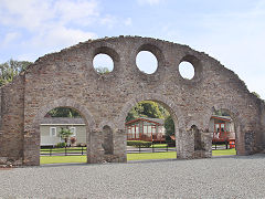
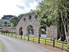
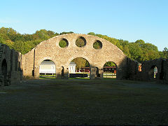
Porthgain and Abereiddi were both slate quarries from around 1840 to the 1890s, by which time Abereiddy was disused. In 1893 the focus was on stone quarrying and brickmaking at Porthgain. Various companies came and went until final closure in 1931. Being so remote the infrastructure has just quietly decayed. What is left is a veritable paradise for Industrial Archeaologists and all easily accessible.
The harbour was the site of the brickworks, crushers and ore hoppers, gradually developing over the years, with major re-building of the harbour in 1902-1904. The brickworks has disappeared except for one building, now a cafe, with the stump of one chimney next to it. The huge bulk of the hoppers stand guard over the harbour, the crusher in the centre and ore chutes at each end.
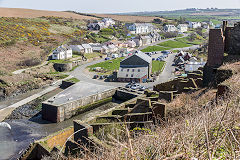
Porthgain village
|
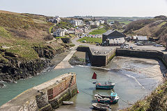
Porthgain Harbour
|
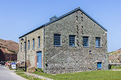
Porthgain Brickworks
|
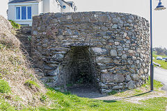
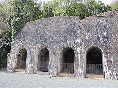
Porthgain village limekiln
|
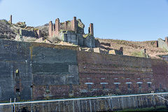
Crushers and storage bins
|
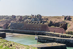
Crushers and storage bins
|
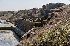
Crushers and storage bins
|
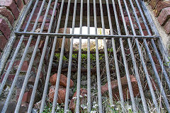
Looking up a hopper
|
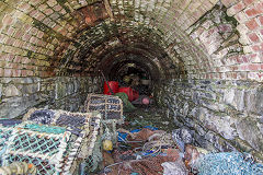
Tunnel under the hoppers
|
|
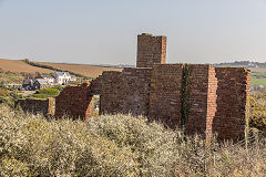
Eastern ore chute
|
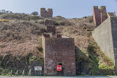
Eastern ore chute
|
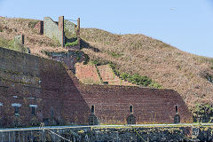
Western ore chute
|
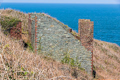
Western ore chute
|
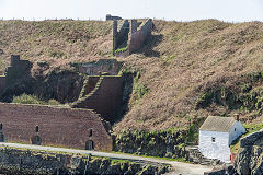
Ore chute and Pilot House
|
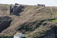
Ore chute and engine shed
|
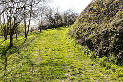
Traction engine lane to Pentop
|
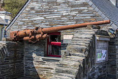
Gun from Liberty ship 'Dan Beard'
|
|
|
St Brides Quarry, Porthgain - SM 8122 3246
St Brides Quarry was the original quarry at Porthgain, operated by inclines and briefly Blondin ropeways up and down to the harbour. Later a tunnel ran straight through to the harbour, emerging near the Eastern ore chutes. The engine shed, weighbridge and water facilities were located here, probably a little more sheltered that at Pen Clegyr.
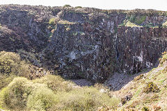
St Brides Quarry rear face
|
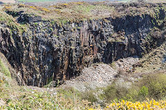
St Brides Quarry, front face
|
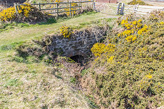
St Brides Quarry bridge
|
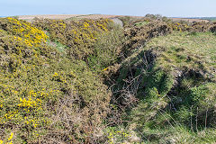
St Brides Quarry tramway
|
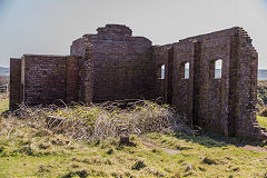
Porthgain engine shed
|
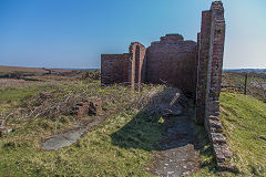
Porthgain engine shed
|
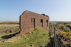
Porthgain engine shed
|
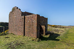
Porthgain engine shed
|
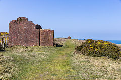
Porthgain engine shed
|
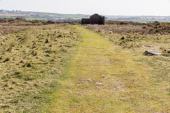
Engine shed approach
|
|
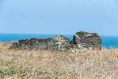
Building by Pentop Cottages
|
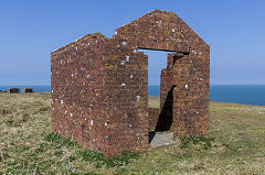
Tramway weighbridge
|
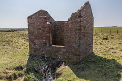
Tramway weighbridge
|
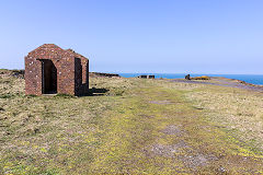
Tramway weighbridge
|
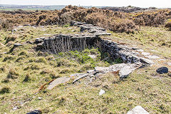
Foundations by weighbridge
|
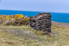
Watertank foundations
|
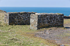
Watertank foundations
|
|
|
Pen Clegyr Quarry, Porthgain - SM 8075 3270
The waste tips were nearest to the hoppers with the tramway, known as 'Jerusalem Road' running down to the main stone quarry at Pen Clegyr. Inclines ran to the two working faces and the smithy and other engineering facilities were here.
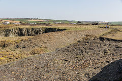
Quarry waste tips
|
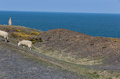
Quarry waste tips
|
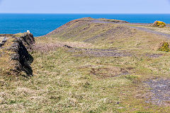
Quarry waste tips
|
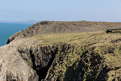
Quarry waste tips
|
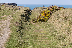
Tramway and 'Jerusalem Road'
|
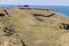
Tramway and 'Jerusalem Road'
|
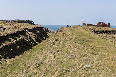
Tramway and 'Jerusalem Road'
|
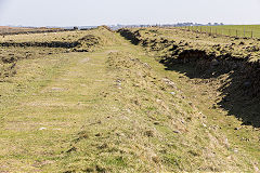
Tramway and 'Jerusalem Road'
|
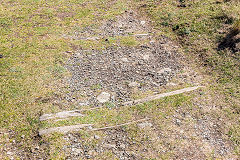
Tramway sleepers
|
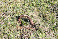
Ironmongery beside tramway
|
|
|
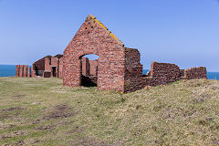
Smithy buildings
|
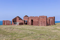
Smithy buildings
|
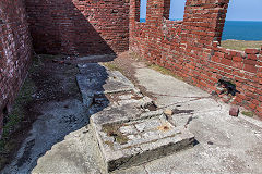
Smithy machine base
|
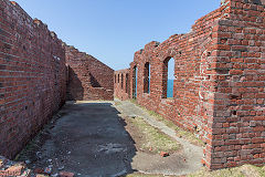
Smithy buildings
|
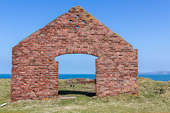
Smithy buildings, 'GR' and '1911'
|
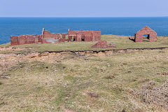
Smithy buildings
|
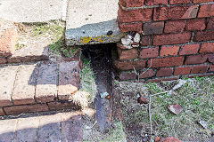
Smithy iron drain
|
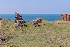
Incline engine house
|
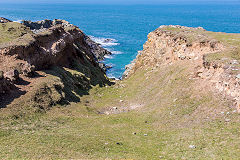
Incline to lower quarry
|
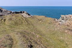
Incline to upper quarry
|
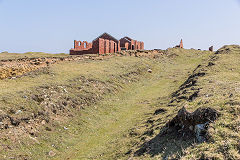
Incline from upper quarry
|
|
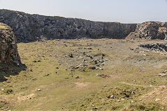
Upper Pen Clegyr Quarry
|
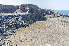
Lower Pen Clegyr Quarry
|
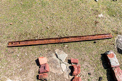
Rail in Pen Clegyr Quarry
|
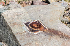
Ironmongery in quarry
|
St Brides Slate Quarry, Abereiddy - SM 7945 3150
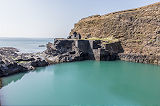
St Brides Slate Quarry, Abereiddy had a fairly short life and was linked to Porthgain by a horse-worked tramway following the contours of Barry Island (but this Barry Island is not the pleasure beach of the valleys). At some time the stone between the quarry and the sea was blasted away to create the 'Blue Lagoon' that you see here now. The 'lift' may have been a steep incline as in North Wales, rather than a vertical lift.
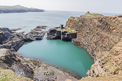
St Brides slate quarry
|
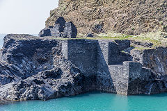
Engine house and lift
|
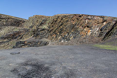
St Brides slate quarry
|
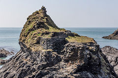
Tramway by the 'statue'
|
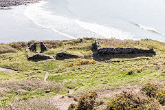
The workshops
|
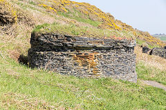
The powder house
|
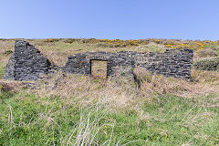
Manager's house
|
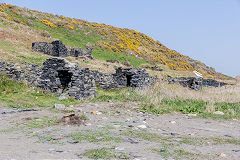
Abereiddy Row cottages
|
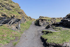
Tramway from quarry
|
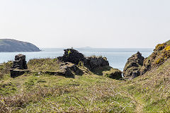
Tramway to quarry
|
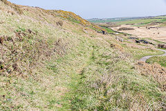
Tramway from quarry
|
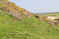
Tramway to Porthgain
|
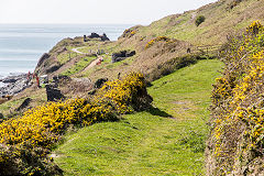
Tramway to Abereiddy
|
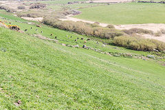
Tramway to Porthgain
|
|
|
The Saundersfoot Railway
The Thomas Chapel and Reynalton Branches
The Harbour, Bonvilles Court and the Tunnel
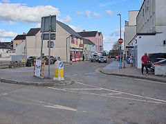
Looking back to the harbour
|
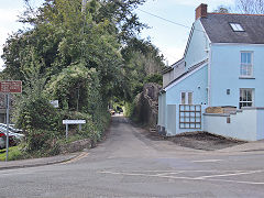
The line leaves the harbour area
|
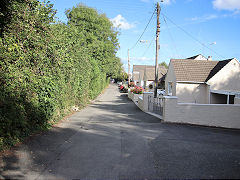
Looking back towards the harbour
|
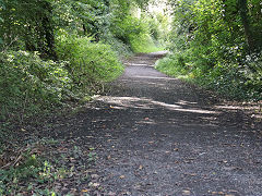
Heading towards the incline
|
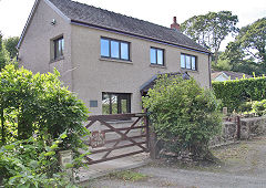
Railway Inn Cottage
|
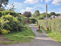
Heading towards the incline
|
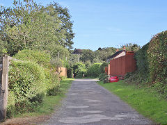
Railway Inn Cottage
|
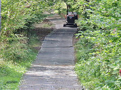
The foot of the incline
|
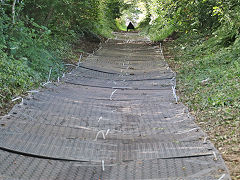
On the way up the incline
|
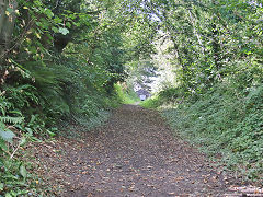
On the way up the incline
|
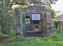
The incline brake-house
|
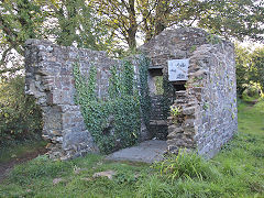
The incline brake-house
|
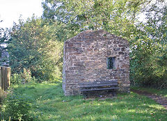
The incline brake-house
|
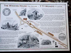
The brake-house noticeboard
|
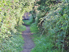
Looking back at the brake-house
|
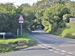
On towards the tunnel
|
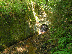
Tunnel under Saundersfoot station
|
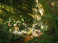
Tunnel under Saundersfoot station
|
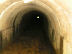
Tunnel under Saundersfoot station
|
|
Begelly - SN 1130 0720
From the tunnel under Saundersfoot Station the railway passed over the common to reach Begelly where there were a number of old collieries.
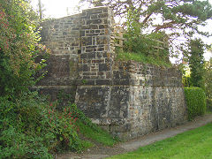
Begelly bridge abutments
|
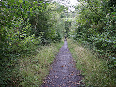
Begelly to Broom trackbed
|
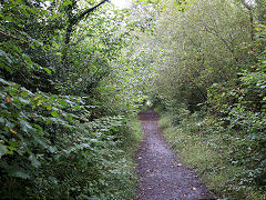
Begelly to Broom trackbed
|
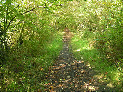
Begelly to Broom trackbed
|
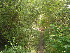
Begelly trackbed
|
|
Broom (Shipping) Colliery branch - SN 1089 0790
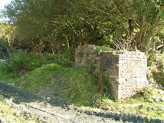
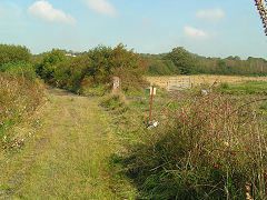
Broom (or Shipping) Colliery seems to have opened c1860, closing in c1880. However it re-opened in 1934, reached by an incline from a siding of the Saundersfoot Railway, but it closed in 1939.
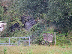
Broom Colliery loading dock
|
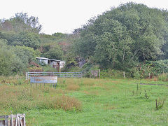
Broom Colliery loading dock
|
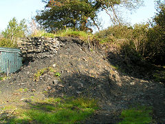
Broom Colliery loading dock
|
Broom Colliery loading dock
|
Broom Colliery tramway
|
Broom near colliery junction
|
Thomas Chapel - SN 1040 0905
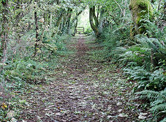
The end of the line from Saundersfoot was the site af a number of old collieries. Thomas Chapel Colliery would have on the East of the line here, as was New Hayes Colliery. Hackett colliery was to the West of the line, near the Reynalton extension. These collieries were mostly closed in the 1860s. The ruins of a building, possibly a mill, stand at the end of the line.
Thomas Chapel approach
|
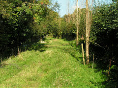
Thomas Chapel approach
|
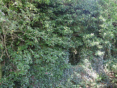
Thomas Chapel buildings
|
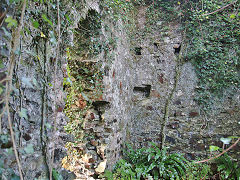
Thomas Chapel buildings
|
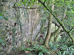
Thomas Chapel buildings
|
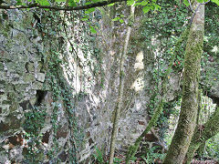
Thomas Chapel buildings
|
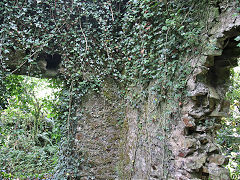
Thomas Chapel buildings
|
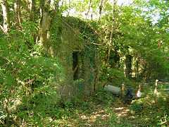
Thomas Chapel buildings
|
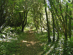
Thomas Chapel trackbed
|
The Reynalton Branch
Mining had been carried out around Reynalton since since 1795 but came into prominence in 1913 when the New Reynalton Anthracite Coal Co opened new workings and the Saunderfoot Railway was extended to serve them. Sadly little came of the venture and it was abandoned in 1922.
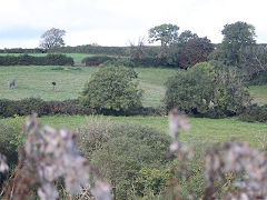
The Reynalton branch
|
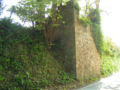
Reynalton bridge North abutments
|
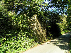
Reynalton bridge South abutments
|
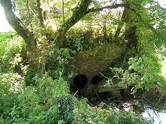
Reynalton culvert
|
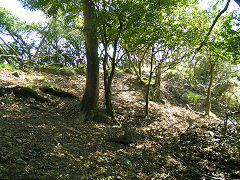
The end of the railway
|
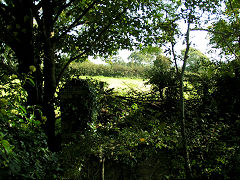
Reynalton looking South
|
The Wisemans Bridge and Stepaside Branch
Saundersfoot to Wiseman's Bridge
The most well-known stretch of the Saundersfoot Railway, running down Railway Street (now The Strand) and through the coastal tunnels to Wiseman's Bridge.
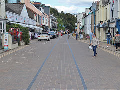
Railway Street, Saundersfoot
|
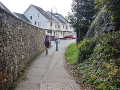
First tunnel into Railway Street
|
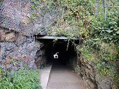
First tunnel from Railway Street
|
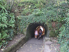
First tunnel to Railway Street
|
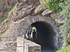
Second tunnel at Coppet Hall
|
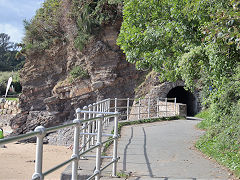
Second tunnel at Coppet Hall
|
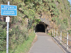
Third tunnel from Coppet Hall
|
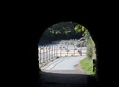
Third tunnel to Coppet Hall
|
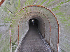
Third tunnel
|
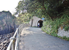
Third tunnel from Wiseman's Bridge
|
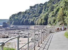
From Wiseman's Bridge to third tunnel
|
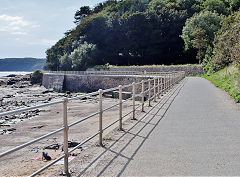
From Wiseman's Bridge to third tunnel
|
Wiseman's Bridge to Stepaside and Kilgetty
Turning inland, the railway follows the Kilgetty Canal up to the collieries and ironworks at Stepaside.
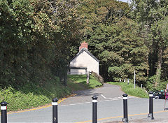
'Step Cottage' at Wiseman's Bridge
|
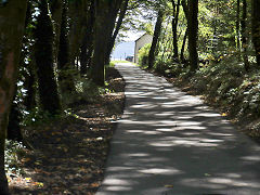
'Step Cottage' at Wiseman's Bridge
|
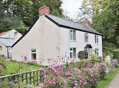
'Tramway Cottage, Wiseman's Bridge
|
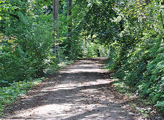
Stepaside to Wiseman's Bridge
|
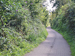
Stepaside to Wiseman's Bridge
|
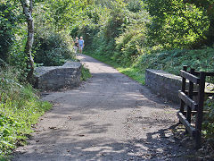
Stepaside to Wiseman's Bridge
|
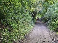
Stepaside to Wiseman's Bridge
|
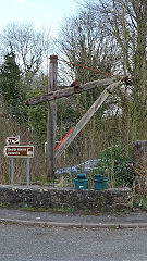
Gibbet crane at Stepaside, 2018
|
Black Walk Tramroad
An old tramroad ran from Cants Colliery at St Issell's to the beach at Coppet Hall. It was 'old' in 1845 and can be followed as a footpath through the inevitable caravan site but becomes more obvious near Coppet Hall.
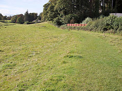
Black Walk Tramroad at Coppet Hall
|
|
|
Original rails and sleeper from Saundersfoot
Stewart Liles has sent me these photos of Saundersfoot Railway rails and sleeper, He says :-
"We recently (2021) stayed on a small caravan site in Pembrokeshire and discovered that it was adjacent to an embankment which carried the trackbed of the old Saundersfoot Railway (4ft gauge) near the village of Begelly. This was the branch which lead from the harbour, around four miles inland to Thomas Chapel colliery, and opened in 1834, not the one which ran along the coast. The caravan site owner showed me two lengths of cast iron fish-bellied rail that he had found years ago; unfortunately each is missing an end. Apparently quite a number have been found but many are now built into people's houses as fireplace lintels, etc!
The rails are 50" long including a 2.5” overlap at each end where they sat in a chair; 4.75" deep in the centre; 2.5" deep at the ends and 1.75" wide on the running surface. Lugs protrude downward near each end, these would have located into holes in the chairs. Also around the area are a number of flat stone blocks, about a foot square, which once held the chairs; each have 2 holes in and a rectangular rust stain."
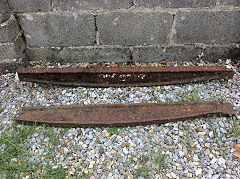
Saundersfoot Railway rail
|
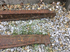
Saundersfoot Railway rail
|
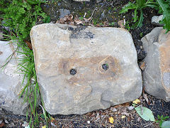
Saundersfoot Railway sleeper
|
