Argoed, Gwrhay, Cwrt-y-bella and Penderi
Woodfield Colliery - ST 1818 9287
Pen-rhiw Colliery - ST 1827 9865
Woodfield and Pen-rhiw Collieries were jointly operated from before 1841, possibly being opened in 1815. It was owned at various times by 'Penrhiw', 'Penrhiw & Woodfield' and 'Woodfield' Colliery Cos, finally 'Penmaen Colliery Ltd'. They were abandoned in 1924.
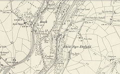
Woodfield and Pen-rhiw Collieries, 1899
|
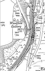
Woodfield Colliery, c1899
|

Woodfield Colliery, c1908
|
Argoed Village
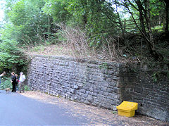
LNWR bridge abutments, Argoed
|
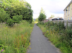
Site of LNWR Station, Argoed
|
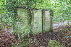
Platelayers hut, Argoed
|
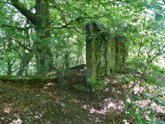
Platelayers hut, Argoed
|
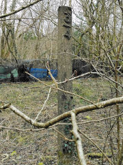
LNWR / LMS Milepost, Argoed
|
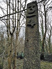
LNWR / LMS Milepost, Argoed
|
|
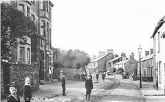
Sirhowy Tramroad in the High Street
|
Gwrhay Colliery - ST 1835 9945
The area around Gwrhay Colliery is a very old coal-mining district, being advertised as such in 1813. Gwrhay Colliery was at work by 1832 when it was up for auction and seems to have carried on until 1918. The Pen Fan Colliery advertised in 1813 is obscure but may be higher up than Gwrhay or above Manmoel Colliery. Two loading banks remain on Hall's Road, but I need to explore the area further.
Woodfield Colliery, Penmaen, Pontllanfraith, 1908. Evan & Lewis Lewis opened this colliery in 1815. Around 1903/4 Penrhiw & Woodfield took ownership and worked the Mynyddislwyn seam. By 1908 it was owned by Woodfield Collieries Ltd with a workforce of 101 people. Later it was taken over by Penmaen Colliery Ltd and worked with 21 men. It closed around 1930.
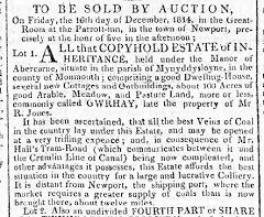
Gwrhay Colliery auction notice
|

Pen Fan Colliery auction notice
|
|
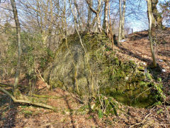
Gwrhay Colliery loading bank
|
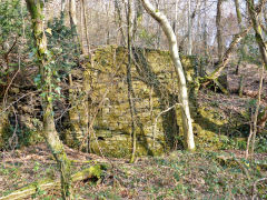
Gwrhay Colliery loading bank
|
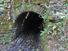
Culvert under Halls Road
|
Cwrt-y-bella level crossing - ST 1824 9955
Look out for the embedded rail on the NW side.
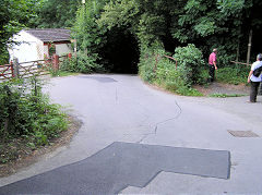
Cwrt-y-bella level crossing
|
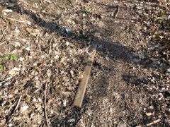
Level crossing embedded rail
|
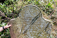
Cwrt-y-Bella Church Gravestone
|
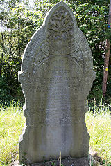
Cwrt-y-Bella Church Gravestone
|
Cwrt-y-bella Colliery - ST 1849 9982
Tips and the adit are to be found if you explore, also a concrete foundation block at ST 1838 9994 in the field to the West, perhaps belonging to an earlier route of the electricity pylons.
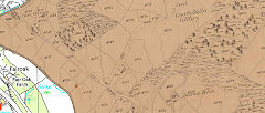
Cwrt-y-Bella Colliery, 1843
|
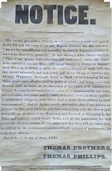
Courty Bella Colliery notice
|
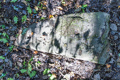
Cwrt-y-Bella tramroad sleeper
|
|
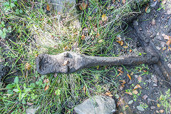
Cwrt-y-Bella tramroad tie-bar
|
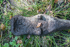
Cwrt-y-Bella tramroad tie-bar
|
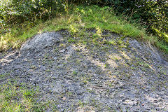
Cwrt-y-Bella Colliery tips
|
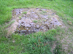
Pylon foundation block
|
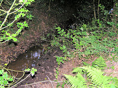
Colliery approach
|
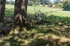
Cwrt-y-Bella Colliery collapse
|
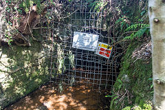
Cwrt-y-Bella Colliery
|
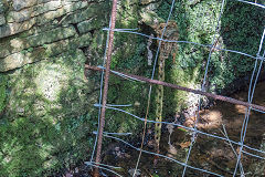
Cwrt-y-Bella Colliery
|
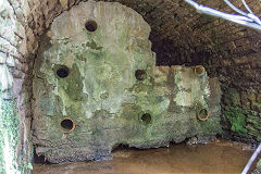
Cwrt-y-Bella Colliery
|
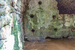
Cwrt-y-Bella Colliery
|
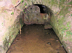
Cwrt-y-Bella Colliery
|
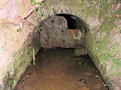
Cwrt-y-Bella Colliery
|
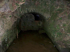
Cwrt-y-bella Colliery
|
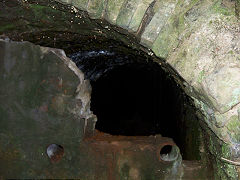
Cwrt-y-bella Colliery
|
|
|
Cwm Corrwg bridge - ST 1804 9992
on Halls Road, built for two tracks but only ever had one leads to .....
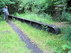
Cwm Corrwg bridge on Halls Road
|
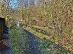
Cwm Corrwg bridge on Halls Road
|
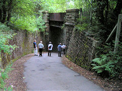
Cwm Corrwg bridge on Halls Road
|
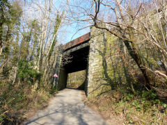
Cwm Corrwg bridge on Halls Road
|
Penderi Colliery (1843) - SO 1820 0005
Old Farmers level - SO 1819 0017
The loading bank of Penderi Colliery at ST 1806 9991 was later a row of cottages. The incline ran up from ST 1809 9995 but is very overgrown. Old Farmers level was open from 1814-1843 under Penderi Farm by the farmer, Llewellyn Llewellyn.
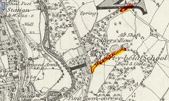
Penderi (1843) Colliery, 1875
|
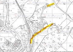
Penderi Area
|
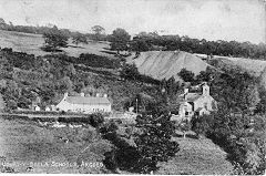
Penderi (1843) Colliery, c1880
|
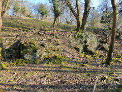
Penderi (1843) Colliery
|
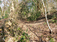
Penderi (1843) Colliery incline
|
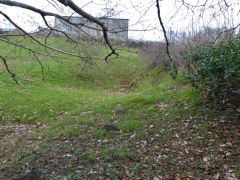
Penderi Old Farmers level
|
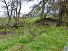
Penderi Old Farmers level
|
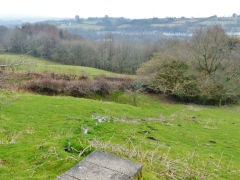
Penderi Old Farmers level
|
Twyn Simon Colliery (1920) - SO 1810 0037
Twyn Simon Colliery was owned by the Bowditch brothers and was open from 1921 to 1930. A tramway ran down to 'Bowditch's sidings' on Hall's Road, the siding agreement was dated from 1922 to 1931. A second entrance was close to or re-used the first Manmoel Colliery level near Rank Sir Henry. The site was re-opened as the Penderi Colliery Co in 1960.
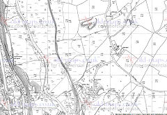
Twyn Simon Colliery, 1960
|
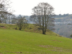
Twyn Simon Colliery
|
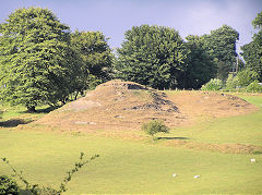
Twyn Simon Colliery
|
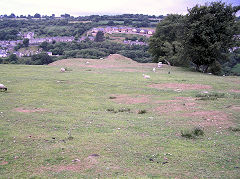
Twyn Simon Colliery
|
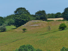
Twyn Simon Colliery
|
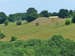
Twyn Simon Colliery
|
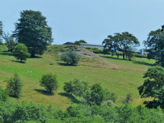
Twyn Simon Colliery
|
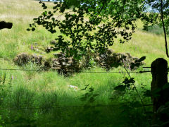
Twyn Simon Colliery loading bank
|
Llanover Colliery and the three Manmoel Collieries
Llanover Colliery - SO 1799 0080
What's here now are the leftovers of Llanover Colliery, sunk in 1910 by the Bargoed Coal Co, coal winding ceased in 1929 but the colliery was used for pumping until Oakdale Colliery closed in 1989. Behind the fence is the shaft ( just the one, the other was the Abernant Colliery shaft), some embedded rails and tips. There's also some very strange stepped concretework behind the shaft which even appears on the OS maps but I don't know what it was, I'm told there was a shallow reservoir behind it. Down by the riverbank is the well-maintained drainage level on the site of the pumping station. As Hall's Road approaches the site there's a brick building at SO 1787 0055, could be a weighbridge, being right beside the trackbed, anyone know?
1810 - 1878 Sidings owned by Sir Henry Protheroe to 1860, T P Price (1870) and Manmole Colliery Co (1878)
1888 - 1906 Christopher Pond's first sidings. He had to move further up the line by the sinking of....
1906 - 1989 Llanover Colliery - Bargoed Coal Co. to 1932, Tredegar Iron Co (1932 - 1947), NCB ( 1947 - 1989)
Llanover Colliery stood at the original terminus of Halls Road and was the centre of a string of mining and quarrying ventures from 1810 to 1989. So, facing the shaft from the Halls Road trackbed, have a look around.
On the far right and on the far side of the stream a modern track runs up to Westfield quarries and level. On this side of the stream is the incline up to the first Manmoel Colliery.
In front of you is the peculiar concrete work and the incline up to the second Manmoel Colliery.>
To your left is the loading bank and tramway up to the third Manmoel Colliery.
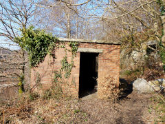
Weighhouse on Halls Road
|
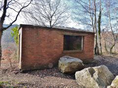
Weighhouse on Halls Road
|
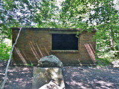
Weighhouse on Halls Road
|
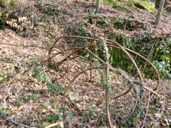
A twisted length of winding cable
|
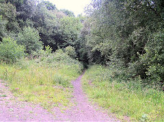
Trackbed to Oakdale
|
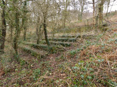
Strange concrete 'steps'
|
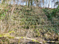
Strange concrete 'steps'
|
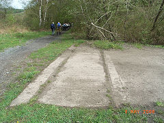
Loading point at Llanover Colliery
|
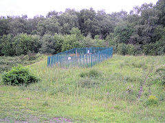
Llanover Colliery shaft
|
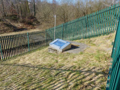
Llanover Colliery shaft
|
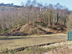
Llanover Colliery tips
|
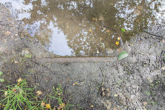
Exposed rail above shaft
|
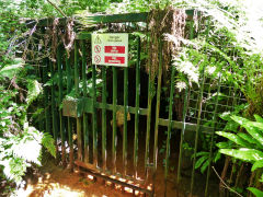
Llanover Colliery drainage level
|
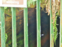
Llanover Colliery drainage level
|
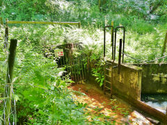
Llanover Colliery drainage level
|
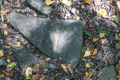
Stone with wire rub marks
|
Westfield Colliery and Quarries
Westfield Colliery - SO 1815 0047
Christopher Pond owned Westfield Colliery which was open from c1885 to 1903, the nearby quarries appear to be much older The colliery incline may have followed an earlier incline to the quarries and went up the Southern side of the valley. The modern access track has covered most of it but there's a small quarry half way up and what appears to be the original incline can be seen there. The tramway from the hair-pin bend into the quarries is worth followed to view these amazingly silent places. You get a good view of the colliery site and its tramway from the Penderi Lane at the top of the track.
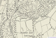
Westfield Colliery, 1899
|
|
|
|
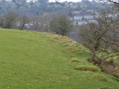
Westfield Colliery
|
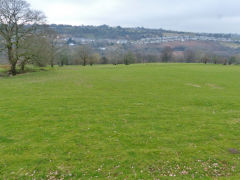
Westfield Colliery
|
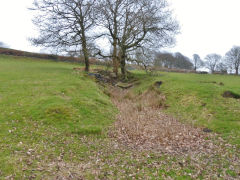
Westfield Colliery
|
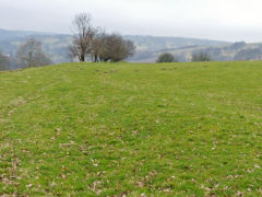
Westfield Colliery
|
Westfield quarries - SO 1825 0070
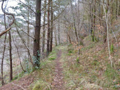
Westfield quarries tramway
|
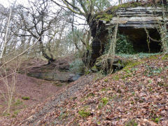
Westfield quarries tramway
|
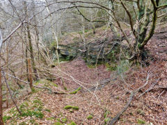
Westfield quarries
|
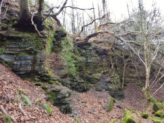
Westfield quarries
|
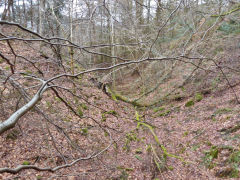
Westfield quarries
|
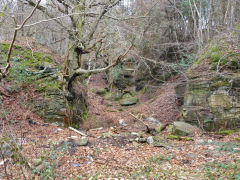
Westfield quarries
|
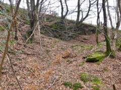
Westfield incline quarry
|
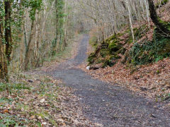
Westfield incline from bottom
|
Manmoel Colliery (1) - SO 1810 0080
Manmoel Colliery Incline - SO 1805 0075
The first Manmoel Colliery was known as Hafodrisglod-Isaf level on the 1846 tithe map but it's also been spelt Hafod-yr-isclawdd, Hafodrisglod or Hafodriscllwd. It was working by 1810 but closed by c1870 and owned by Sir Henry Protheroe, then J P Price. Other than the fringes of the Tithe Map, the whole operation is very shy of maps. I've not found it accurately shown anywhere even on Reg Malpass's excellent maps.
However there are loads of physical remains starting with the incline, running in a cutting up to the tips. Judging by the size and location of the tips there ought to be a level behind them, possibly just before the track up to Rank Sir Henry.
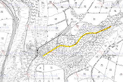
The First Manmoel Colliery (1)
|
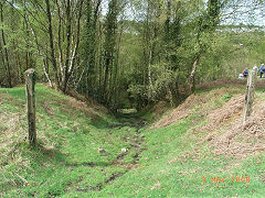
Manmoel Colliery (1) incline foot
|
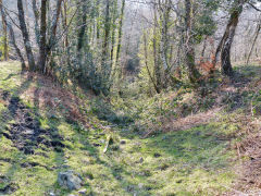
Manmoel Colliery (1) incline
|
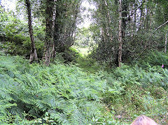
Manmoel Colliery (1) incline
|
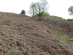
Manmoel Colliery (1) incline
|
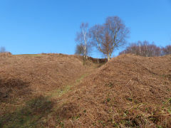
Manmoel Colliery (1) incline
|
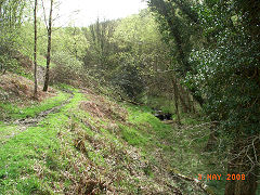
Manmoel Colliery (1) incline
|
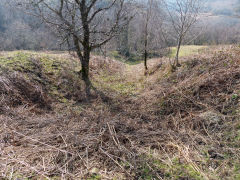
Manmoel Colliery (1) incline
|
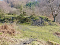
Manmoel Colliery (1) tips
|
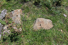
Manmoel Colliery (1) sleepers
|
|
|
Hafodrisclawdd-Isaf level - SO 1857 0101
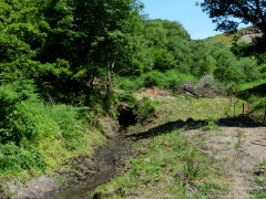
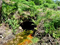
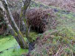
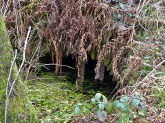
To the East of the incline is the well-known Hafodrisclawdd-Isaf level which, in 2013, has been cleaned up and the stream dredged. This appears to be the original Hafodrisglod-Isaf level which went off to workings on the left but later a branch to the right may have served as the lower access to Twyn Simon Colliery. Further up the valley are signs of other minor activity.
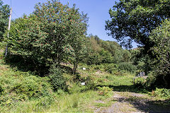
Hafodrisclawdd-Isaf level
|
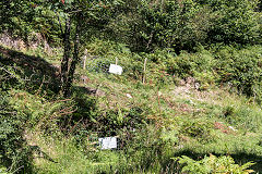
Hafodrisclawdd-Isaf level
|
Hafodrisclawdd-Isaf level
|
Hafodrisclawdd-Isaf level
|
Hafodrisclawdd-Isaf level
|
Hafodrisclawdd-Isaf level
|
|
|
Rank Sir Henry - SO 1851 0098
A small row of very old cottages with some small tips just in front of them.
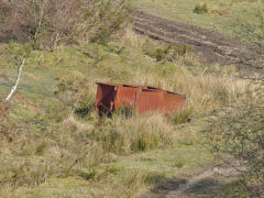
Agricultural ironmongery
|
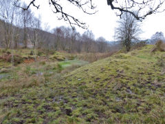
Hafodrisclawdd-Isaf level tips
|
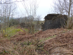
Rank Sir Henry
|
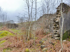
Rank Sir Henry
|
Manmoel Colliery (2) - SO 1823 0102
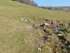
Hafodrisclawdd-isaf is the site of the second incarnation of Manmoel Colliery, aka Mamhole Colliery in some documents. It appears to been opened around the 1850s by Sir Henry Protheroe, later owned by T P Price (or J P Price,1870), Manmole Colliery Co (1878). The colliery appears to have closed by 1880.
The site of the incline and colliery area has been reclaimed, the cutting filled in and planted with trees and just a bog where the level would have been. Little to see, I'm afraid.
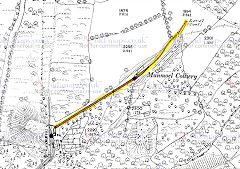
Manmoel Colliery (2), 1879
|
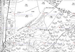
Manmoel Colliery (2), 1901
|
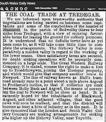
Manmoel Colliery (2), 1883
|
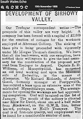
Manmoel Colliery (2), 1888
|
Manmoel Colliery (2)
|
|
|
|
Manmole Colliery (3) - SO 1802 0176
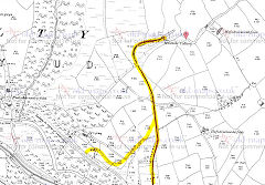
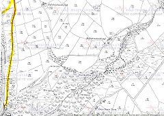
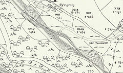
Christopher Pond was the owner of Manmole Colliery at Hafodrisclawdd-fach from 1885 - c1907. It was shown as disused on the 1920 OS map with two old tramways. The original tramway ran to the loading dock at SO 1799 0087 at the original Pond's sidings. The sinking of Llanover Colliery meant he was paid to move further up the Markham extension to SO 1781 0130 where the second route of the tramway ended and the tipping dock remains. The sidings were open from 1902 to 1930. The colliery was re-opened in 1924 by the Manmole Colliery Co of Argoed but but almost immediately abandoned.
The tips and level still stand out beside Hafodrisclawdd-fach Lane and the tramway can be followed down to Llanover Colliery but, be warned, it's is very heavily overgrown. A fallen iron pylon rests beside it. The loading dock is at the other end and some stonework can be found at Ponds second sidings.
Manmole Colliery (3), 1901
|
Manmole Colliery (3), 1901
|
Later tipping dock c1905
|
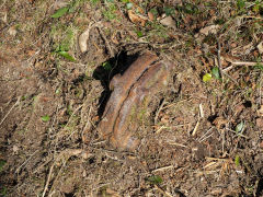
Pipework at the tipping dock
|
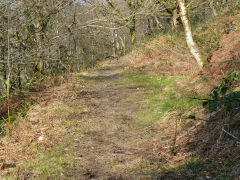
Tramway leaving Llanover Colliery
|
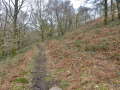
Tramway to Manmole Colliery
|
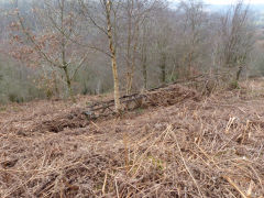
Fallen pylon beside tramway
|
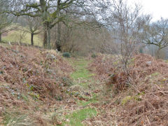
Tramway to Llanover Colliery
|
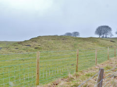
Manmole Colliery (3)
|
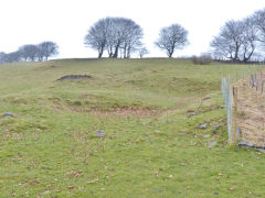
Manmole Colliery (3)
|
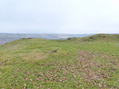
Manmole Colliery (3)
|
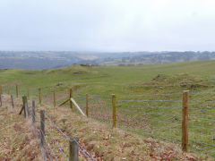
Manmole Colliery (3)
|
Hafodrisclawdd-fawr level - SO 1812 0155
This was an NCB-licenced level open from 1947 - 1949.
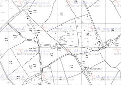
Hafodrisclawdd-fawr level, 1961
|
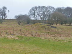
Hafodrisclawdd-fawr tips
|
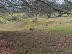
Hafodrisclawdd-fawr tips
|
|
Markham
Abernant Colliery - SO 1710 0145
The first thing of interest is the LNWR Twyn-gwyn Lane bridge. Head down the lane and along to Abernant Colliery, noting the well-built culvert. The tips were below the LNWR with some foundations and a rusty tank. The single shaft (the other was Llanover Colliery across the river) and and some concrete work are on the other side of the railway.
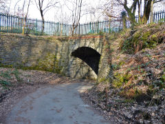
Twyn-gwyn Lane LNWR bridge
|
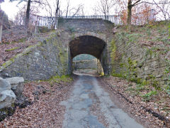
Twyn-gwyn Lane LNWR bridge
|
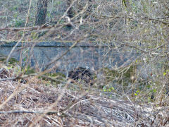
Abernant Colliery culvert
|
|
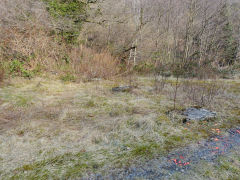
Abernant Colliery foundations
|
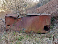
Abernant Colliery ironmongery
|
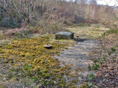
Abernant Colliery shaft
|
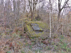
Abernant Colliery foundations
|
Halls Road - Tyr Graig bridge - SO 1770 0140
The stonework next to Tyr Graig bridge was probably the loading dock of the 1902-1930 Christopher Pond sidings at the foot of the tramway from Manmole Colliery.
Pont-nant-y-felin Quarry - SO 1762 0160
Pont-nant-y-felin sidings were open from 1915 to 1928 and you can trace the tramway to the quarries above.
Abernant-y-felin Viaduct - SO 1751 0150
This is one thing you won't see here I'm afraid. It was built in 1900 and buried in 1918, a short but brief existance for a very fine 6-arch stone viaduct. Unfortunately it began to subside as soon as it was built so they in-filled it with colliery waste (from Markham Colliery?). Now it's a substantial embankment but it's still under there somewhere. But in 2013 the tops of the arches could just be seen from the track beside the trackbed! The Twyn-gwyn Lane bridge is right at the north end of the viaduct.
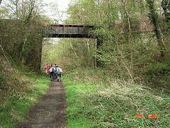
Ty'r Graig trackbed, Halls Road
|
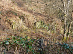
Tyr Graig, Pond's second sidings
|
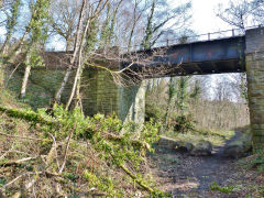
Tyr Graig bridge, Halls Road
|
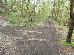
Tyr Graig bridge, Halls Road
|
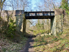
Tyr Graig bridge, Halls Road
|
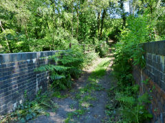
Tyr Graig overbridge, Halls Road
|
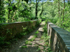
Tyr Graig overbridge, Halls Road
|
|
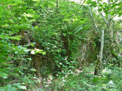
Pont Nant-y-felin quarry
|
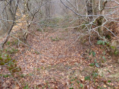
Pont Nant-y-felin quarry tramway
|
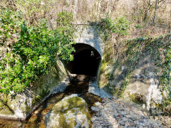
Abernant-y-felin viaduct culvert
|
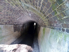
Abernant-y-felin viaduct culvert
|
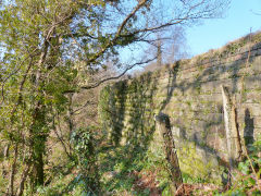
Viaduct retaining wall
|
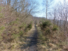
Abernant-y-felin Viaduct trackbed
|
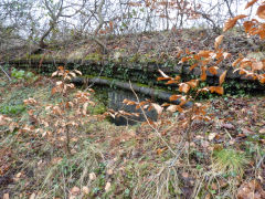
Abernant-y-felin Viaduct arch
|
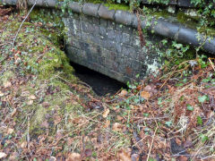
Abernant-y-felin Viaduct arch
|
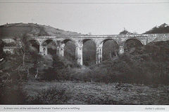
Abernant-y-felin Viaduct
|
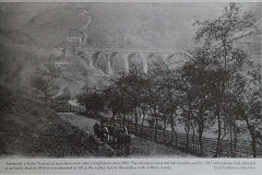
Abernant-y-felin Viaduct
|
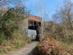
Twyn-gwyn Lane bridge
|
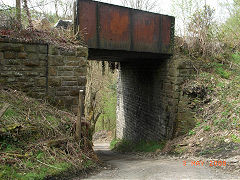
Twyn-gwyn Lane bridge
|
Markham Colliery - SO 1677 0200
As Hall's Road enters the site there's a brick-lined pit beside the trackbed, which is blocked by a large block of brickwork containing some 'GKN. Ltd. Henllys' bricks. there's some good concrete work on the hillside and the shafts hide behind their fences.
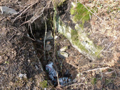
Pit next to Halls Road
|
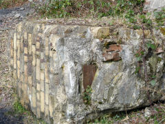
Ruined brickwork, Markham
|
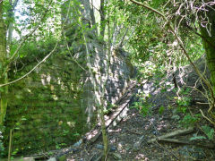
Underbridge abutments, Markham
|
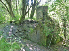
Underbridge abutments, Markham
|
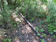
Sidings in the undergrowth
|
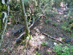
Sidings in the undergrowth
|
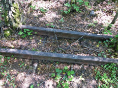
Sidings in the undergrowth
|
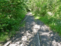
Sidings in the undergrowth
|
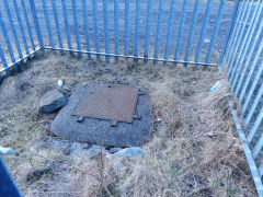
Markham Colliery shaft
|
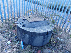
Markham Colliery shaft
|
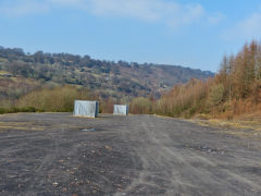
Markham Colliery, pithead area
|
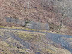
Markham Colliery foundations
|
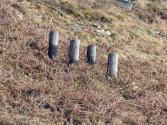
Markham Colliery foundations
|
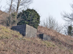
Markham Colliery foundations
|
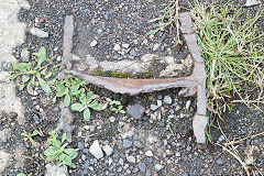
Stub of girder at screens
|
|
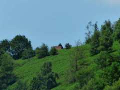
Building above Markham Colliery
|
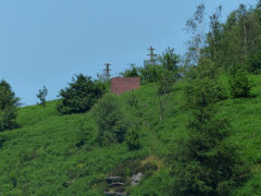
Building above Markham Colliery
|
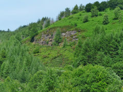
Markham Colliery quarry
|
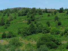
Markham Colliery tips
|
Markham Colliery in 1980
Markham Colliery and its men at work and rest in 1980
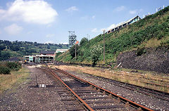
Markham Colliery at work. 1980s
|
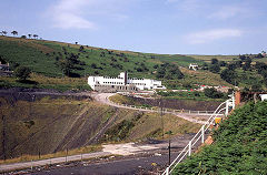
Markham Colliery at work. 1980s
|
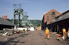
Markham Colliery at work. 1980s
|
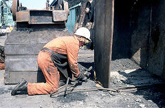
Markham Colliery at work. 1980s
|
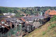
Markham Colliery at work. 1980s
|
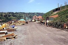
Markham Colliery at work. 1980s
|
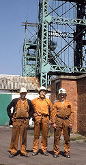
Markham Colliery at work. 1980s
|
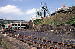
Markham Colliery at work. 1980s
|

Markham Colliery at work. 1980s
|

Markham Colliery at work. 1980s
|
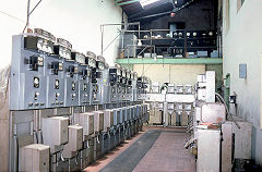
Markham Colliery at work. 1980s
|

Markham Colliery at work. 1980s
|
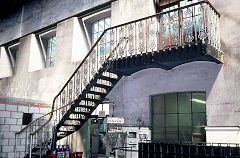
Markham Colliery at work. 1980s
|
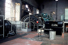
Markham Colliery at work. 1980s
|
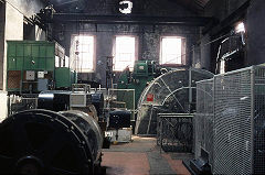
Markham Colliery at work. 1980s
|
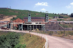
Markham Colliery at work. 1980s
|
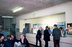
Markham Colliery at work. 1980s
|

Markham Colliery at work. 1980s
|
|
|
From Llanover to Markham Collieries
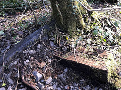
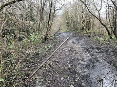
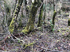
Craig Williams walked the line in 2019-20 and found the remains of the line are still much as they were between Llanover Colliery and Markham Colliery.
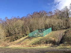
Llanover Colliery
|
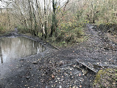
Between Llanover and Markham
|
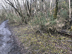
Between Llanover and Markham
|
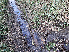
Between Llanover and Markham
|
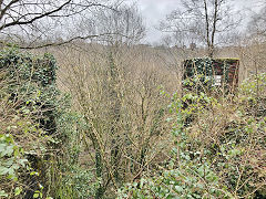
Between Llanover and Markham
|
Between Llanover and Markham
|
Between Llanover and Markham
|
Between Llanover and Markham
|
