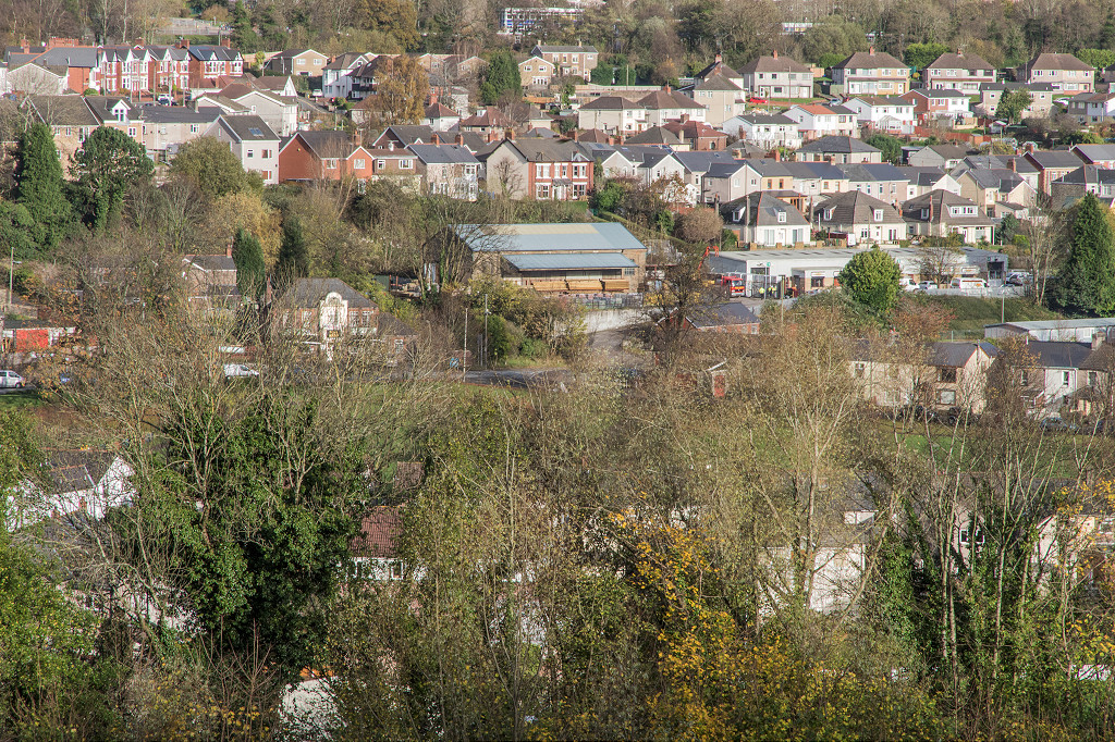
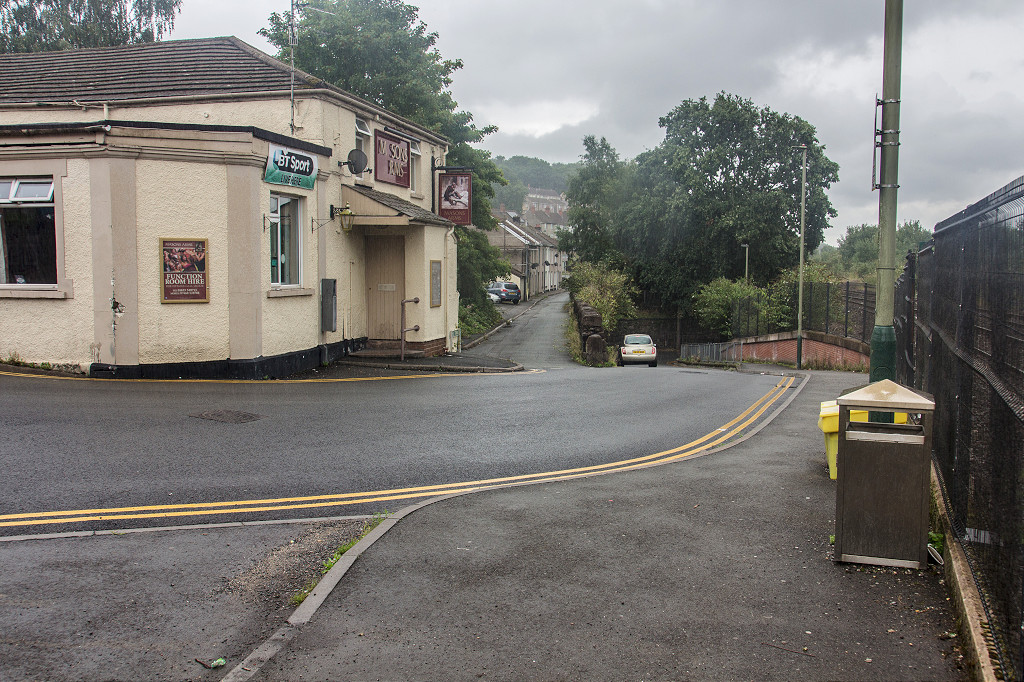
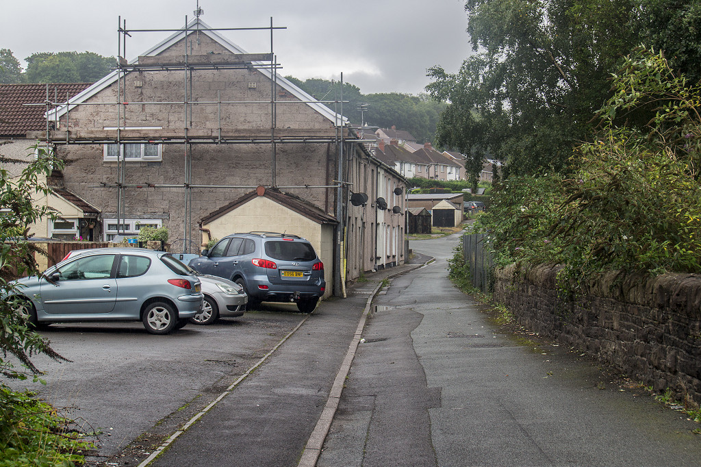
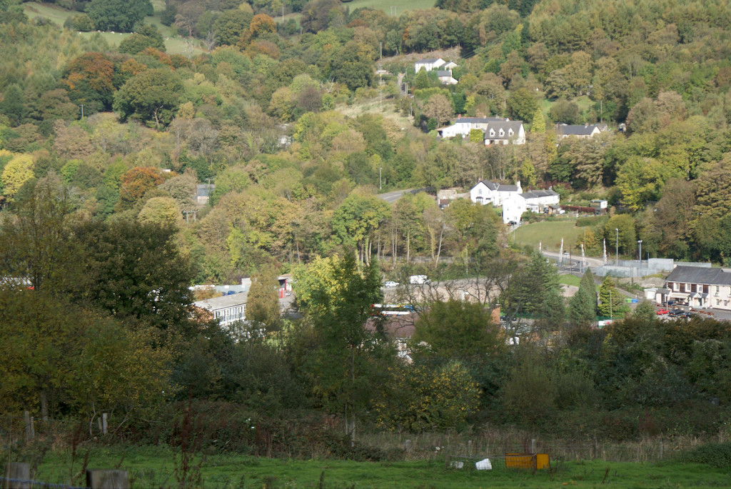
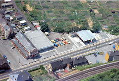
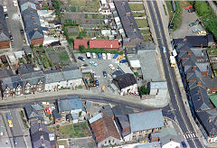
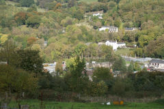
Risca town
Railways and Tramroads
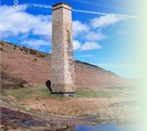
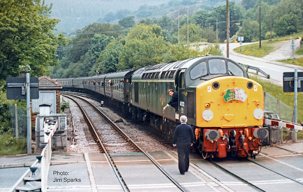
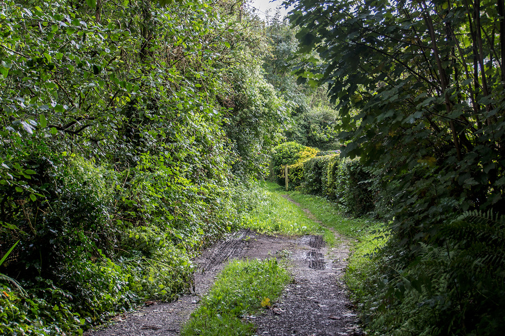
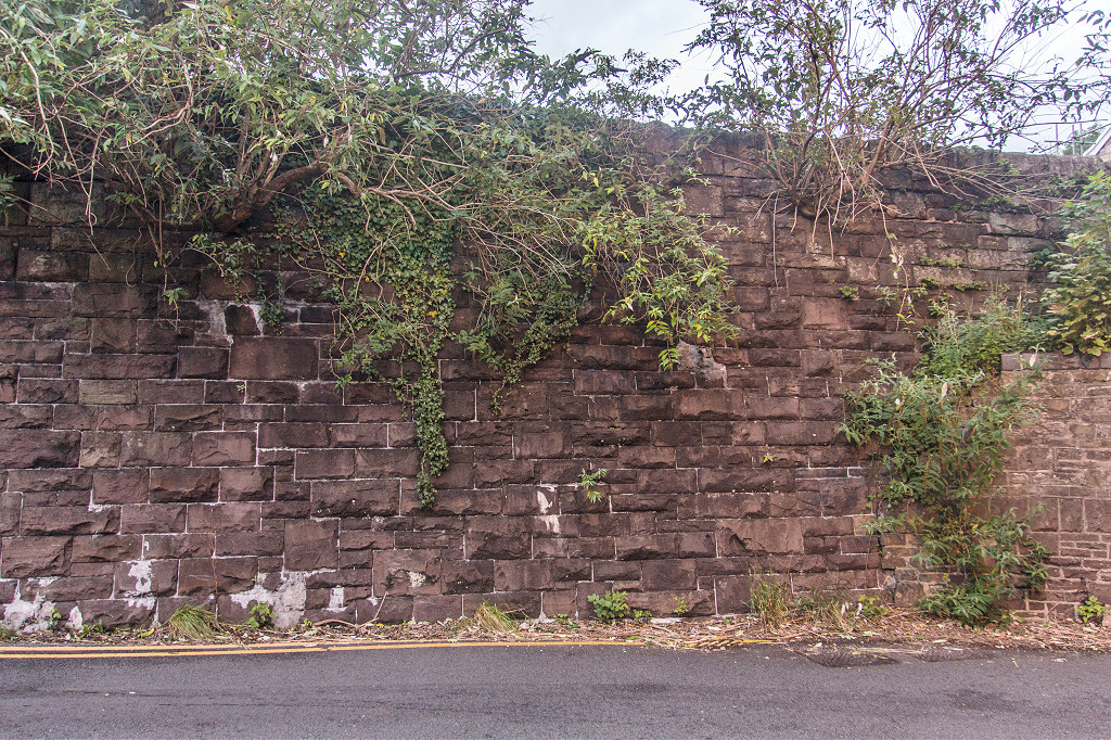
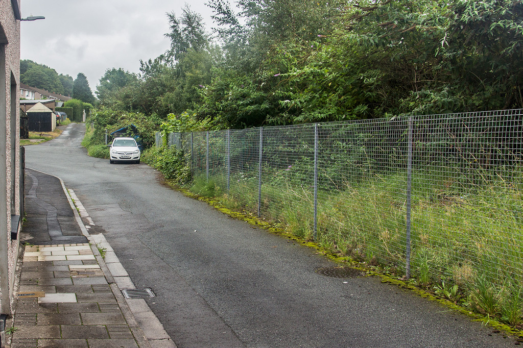
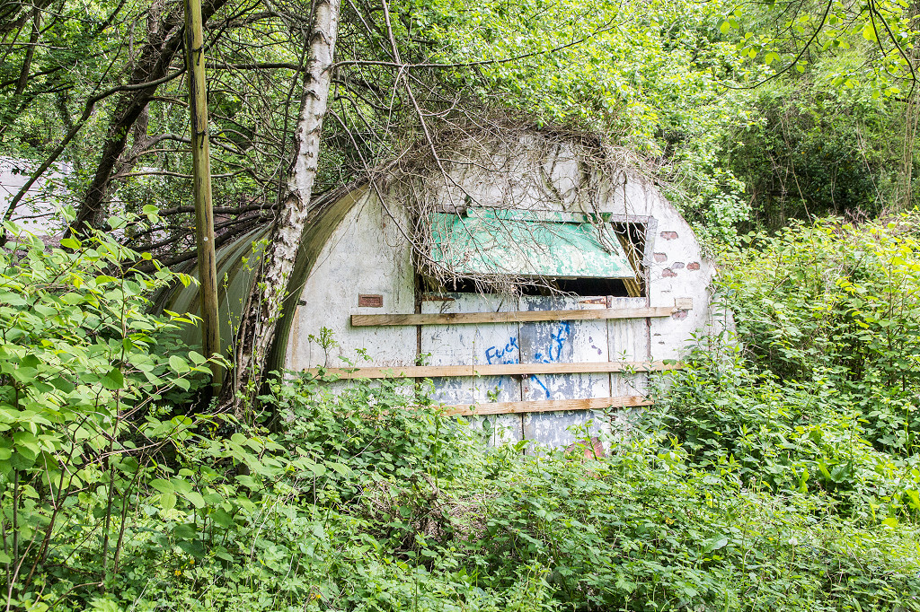
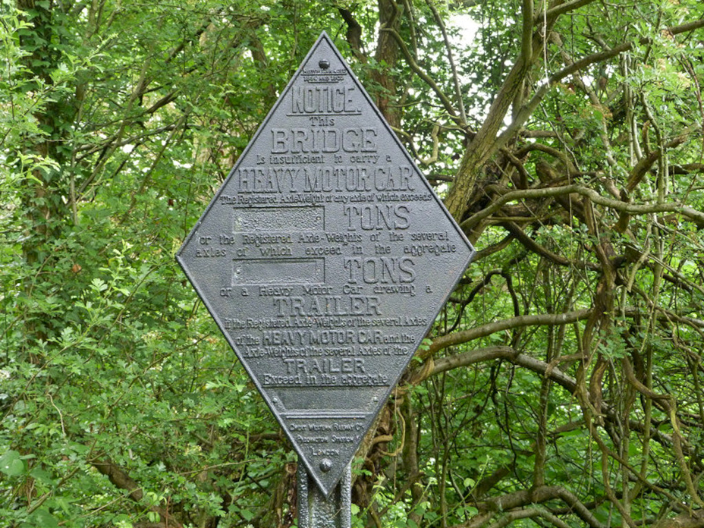
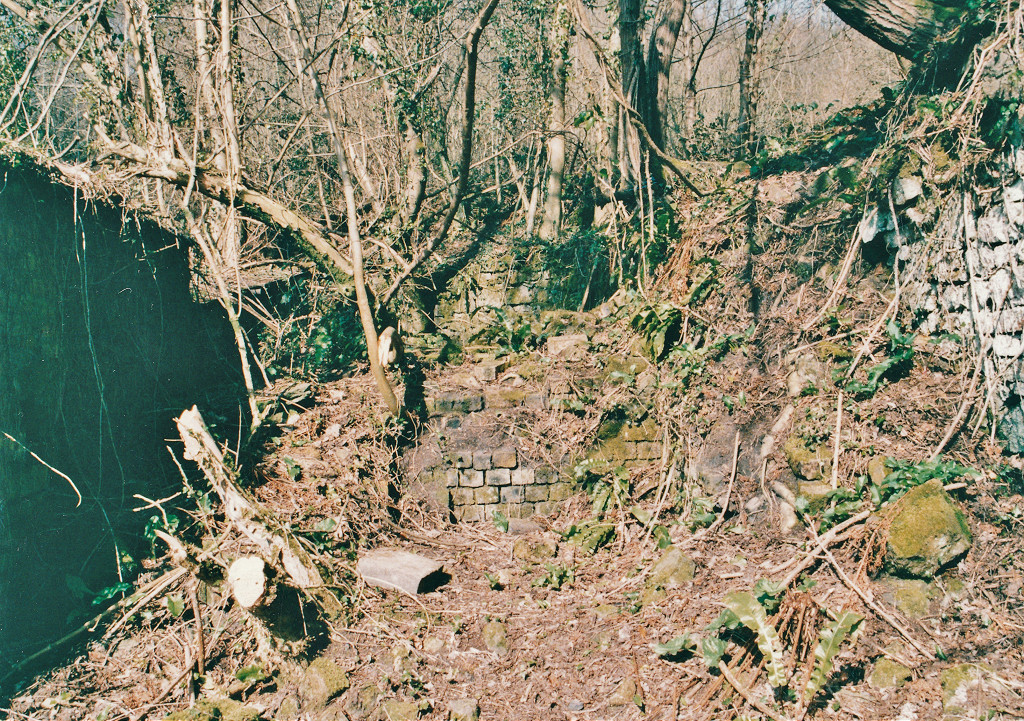
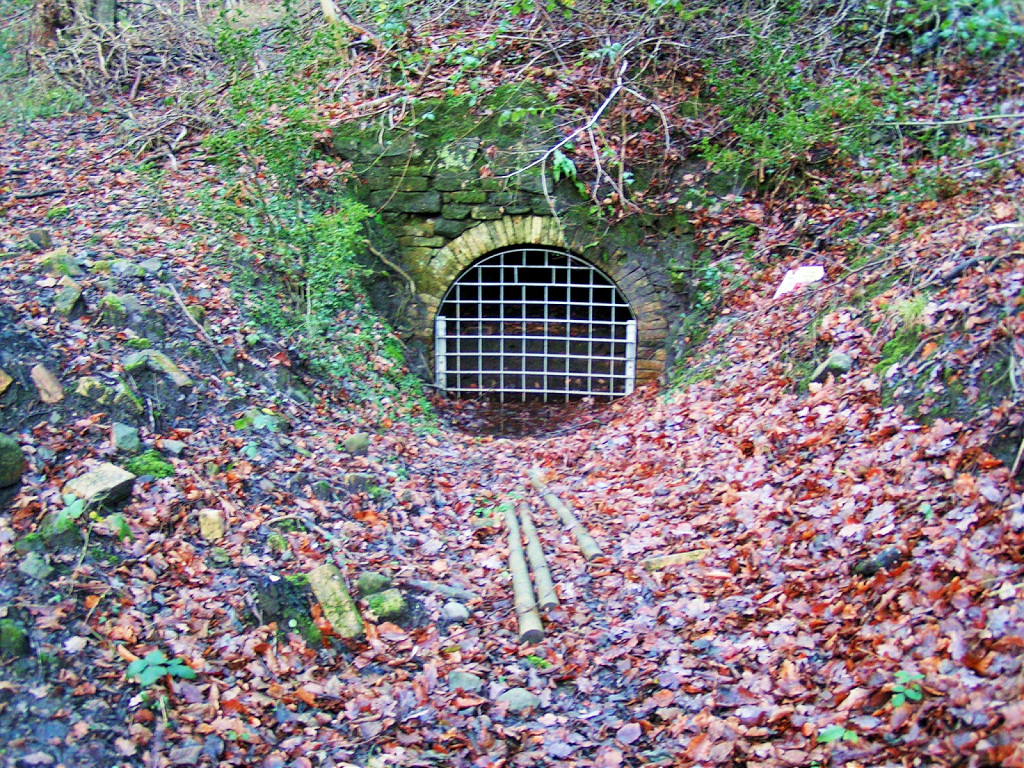
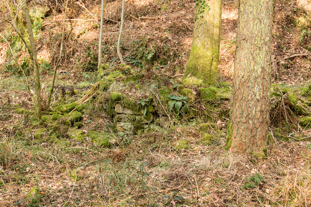
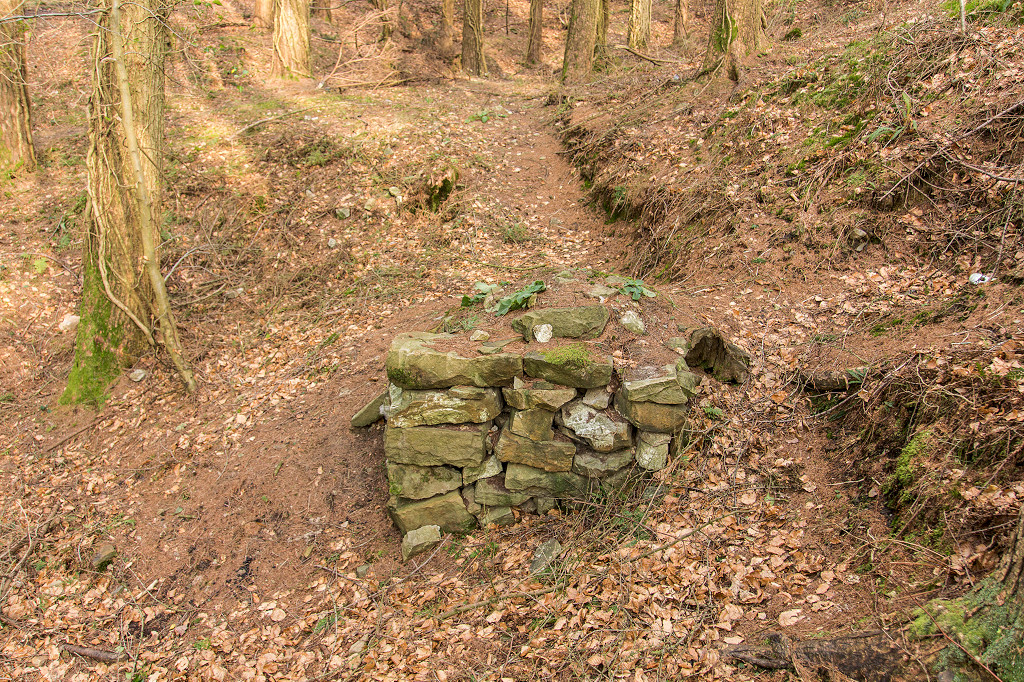
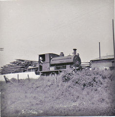
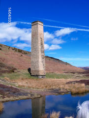
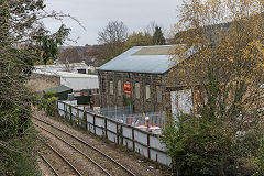
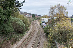
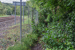
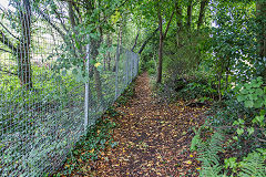
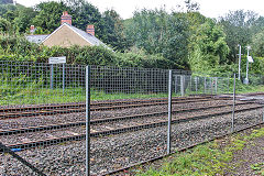
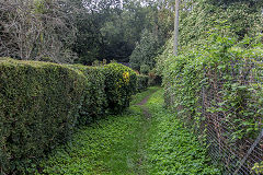
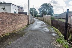
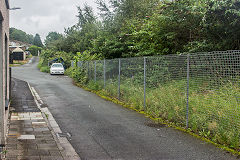
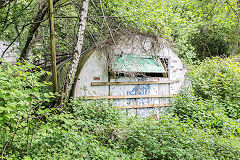
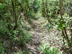
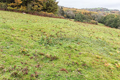
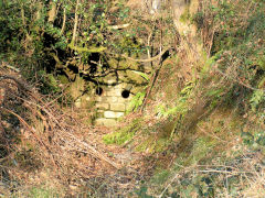
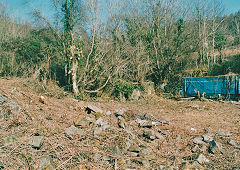
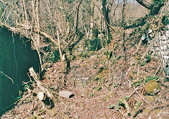
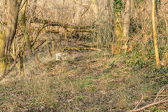
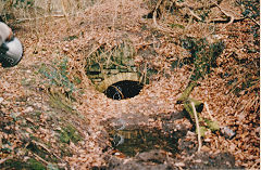
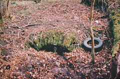
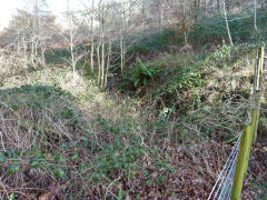
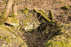
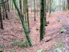
Limekiln Crossing - ST 2343 9142
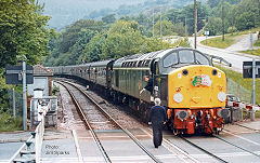
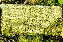
'D200 40122' at Limekiln Crossing
|
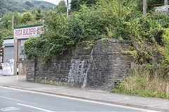
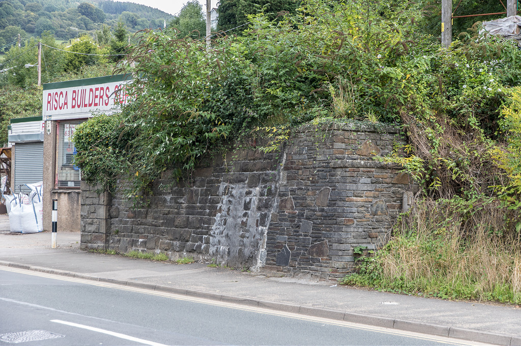
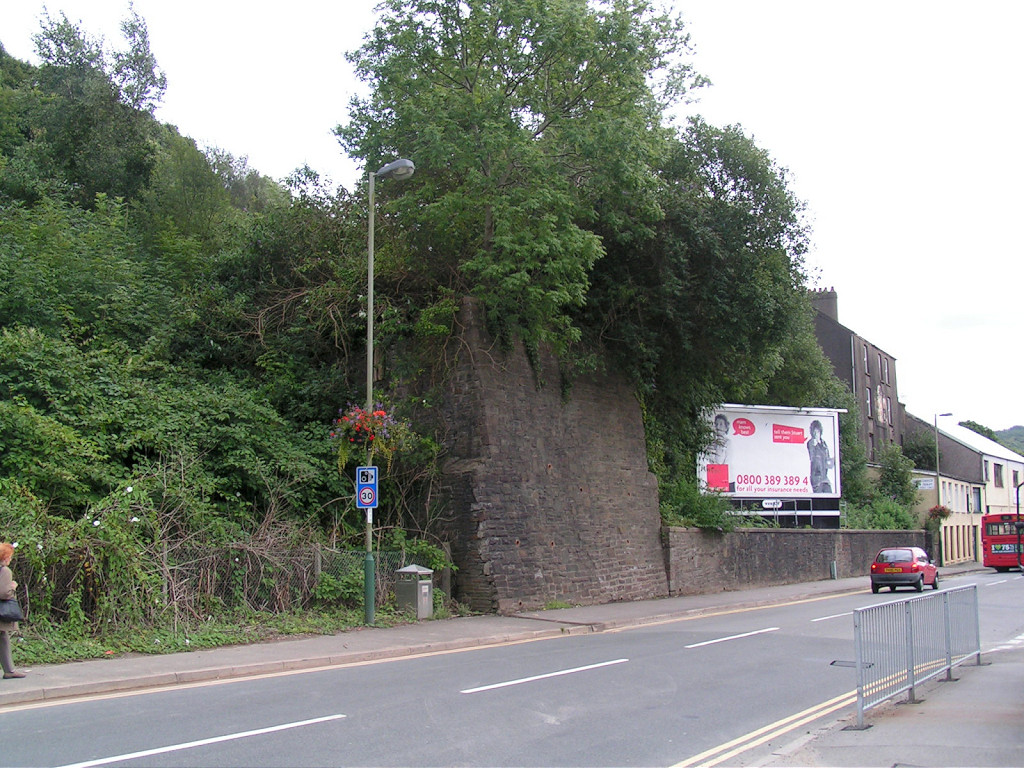
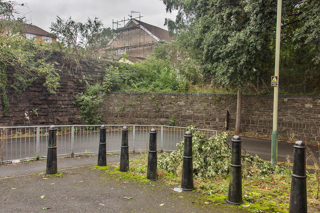
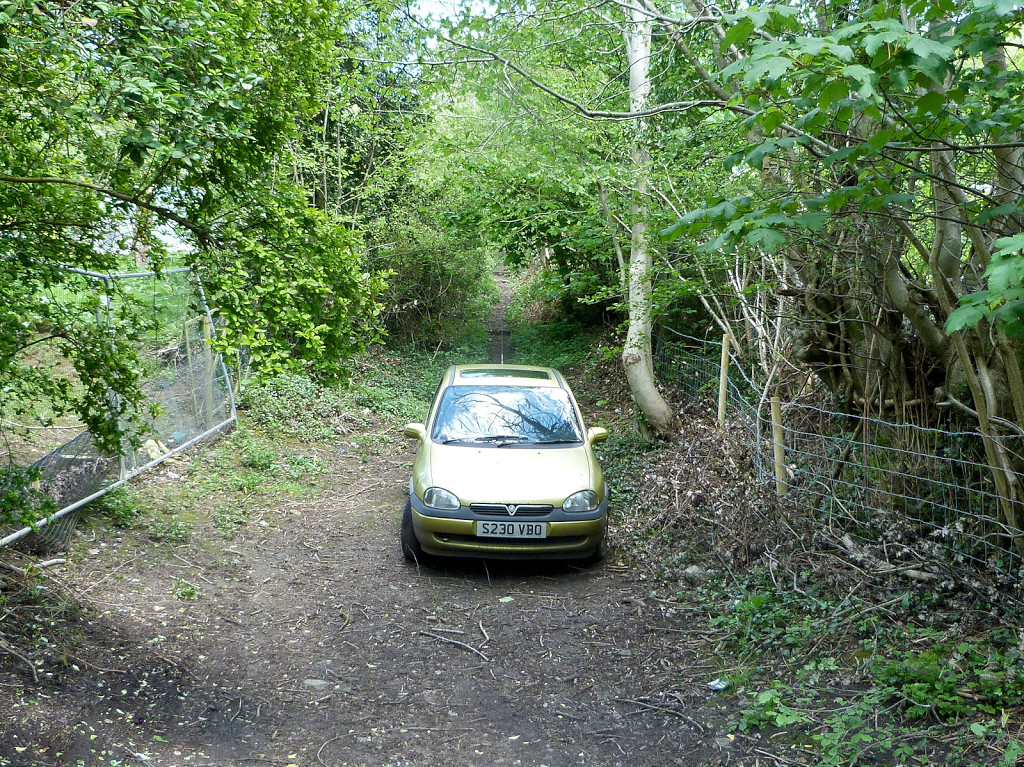
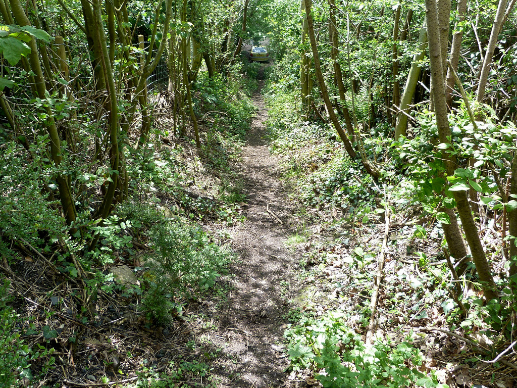
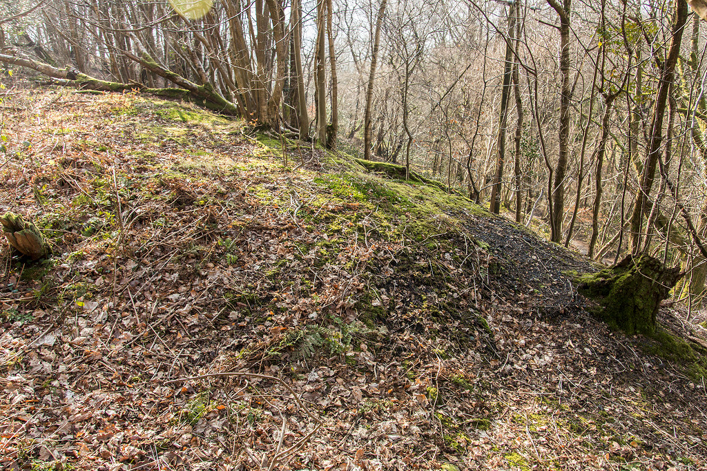
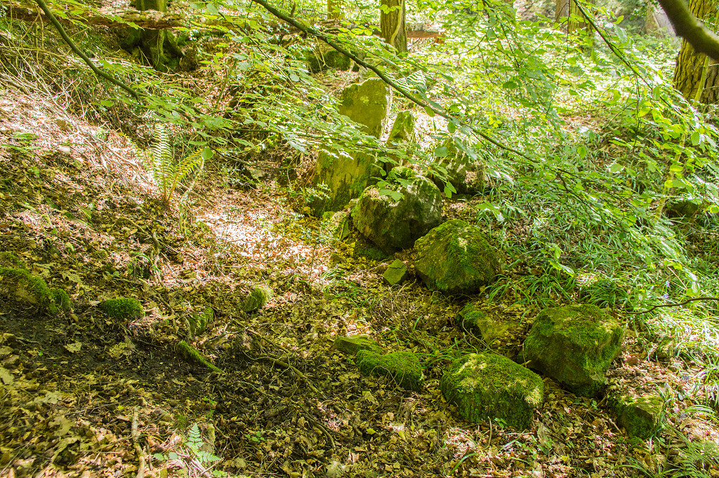
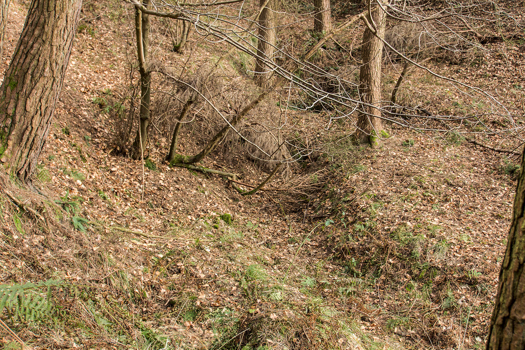
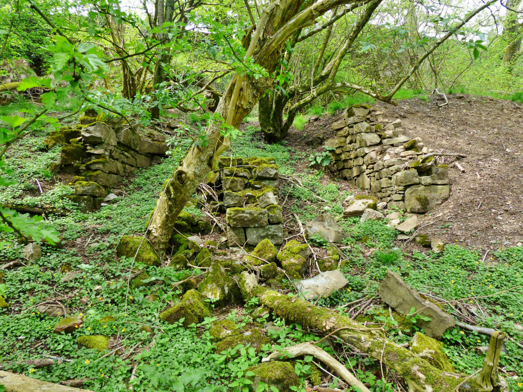
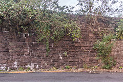
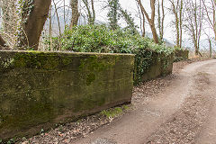
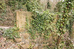
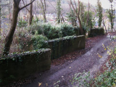
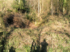
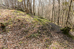
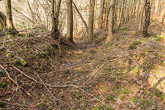
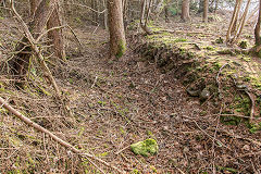
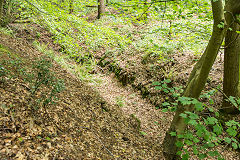
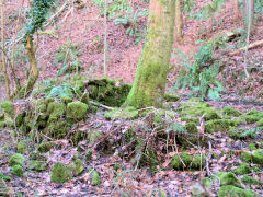
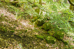
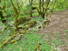
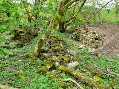
Sirhowy Valley line abutments
|
Sirhowy Valley line abutments
|
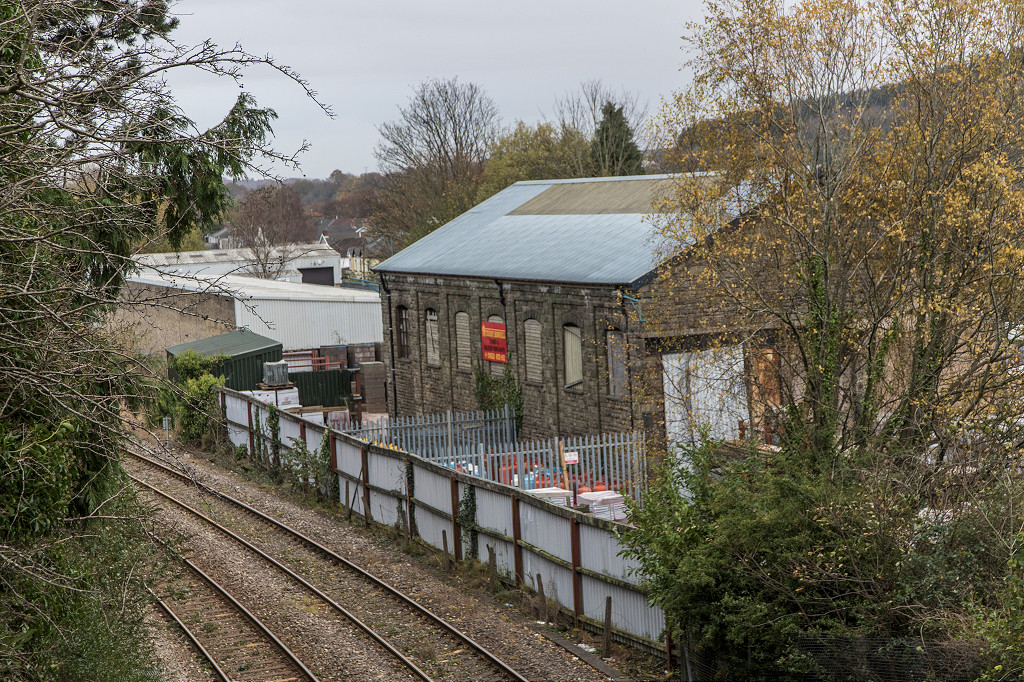
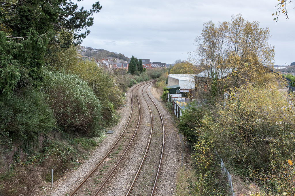
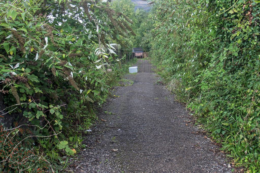
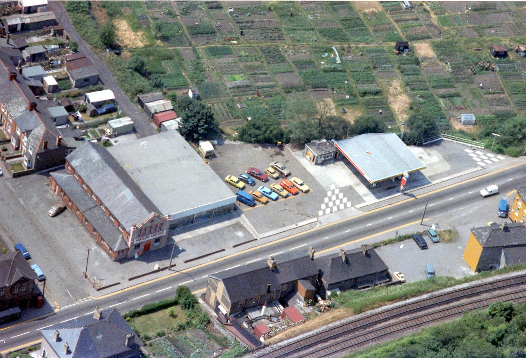
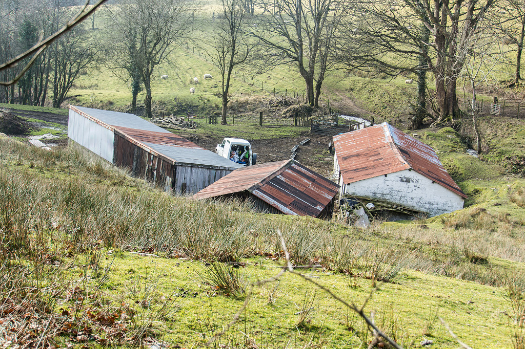
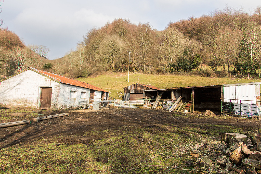
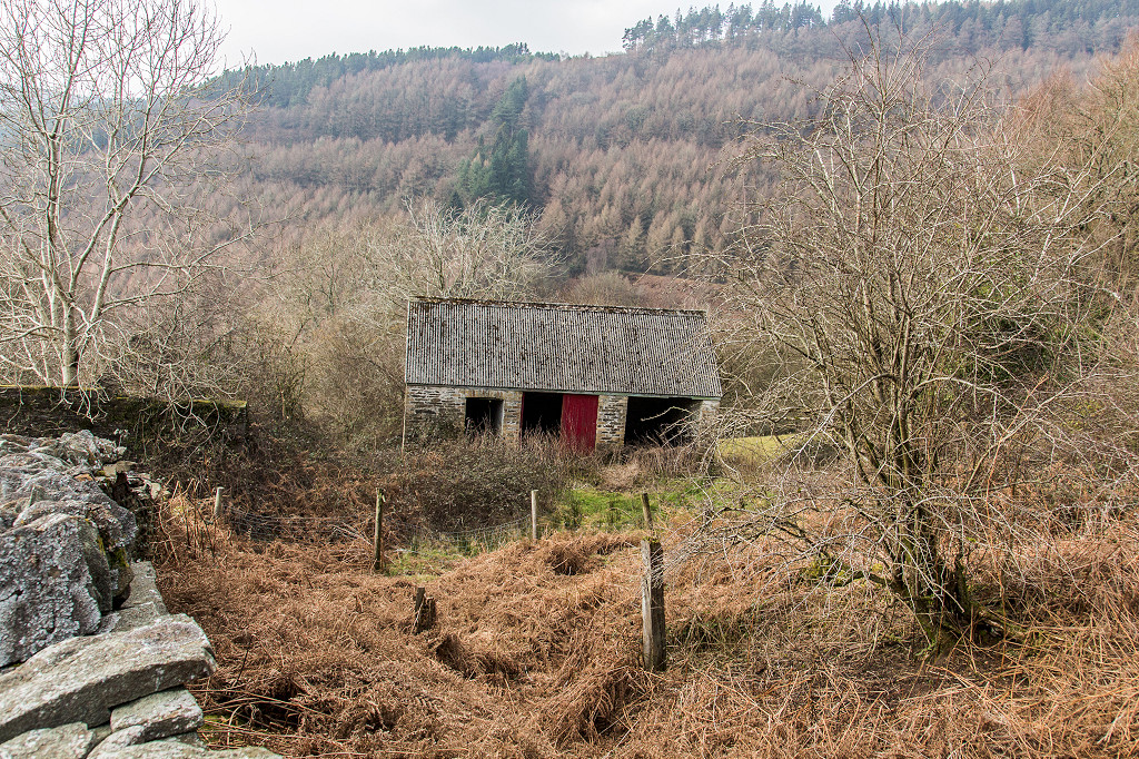
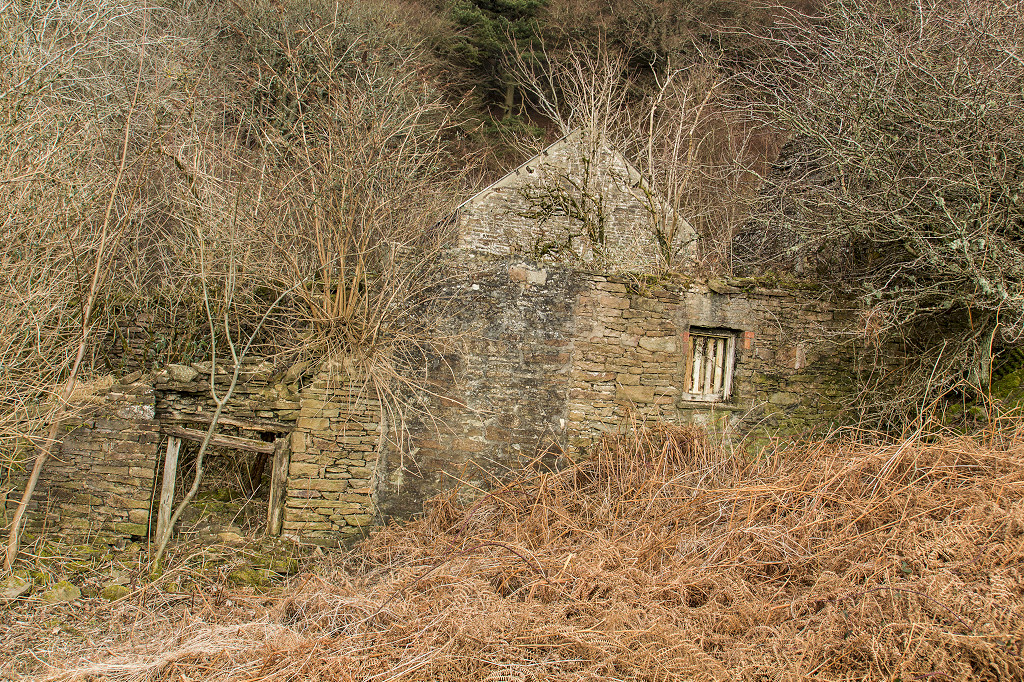
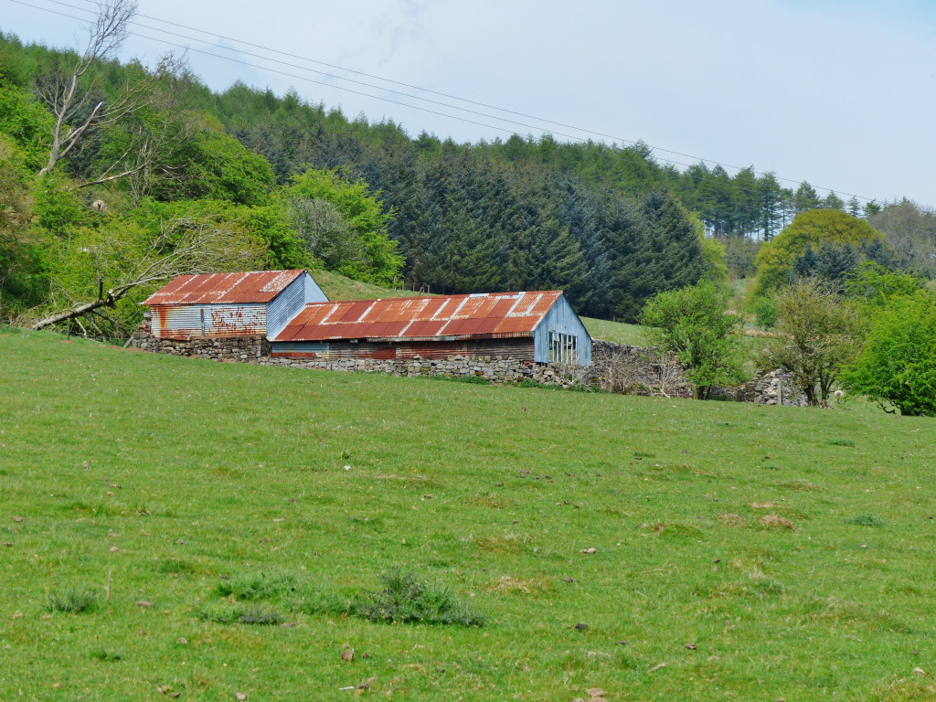
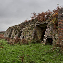
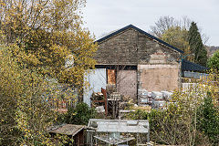
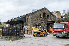
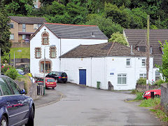
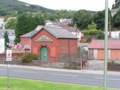
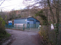
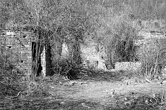
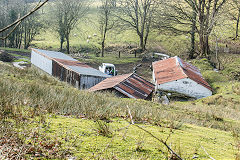
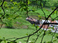
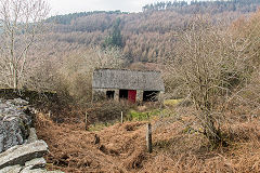
Risca Goods Shed - ST 2405 9407
Risca Goods Shed, next to the original Risca Station had been used by a builders merchant up to 2020 but has now been sold. Its fate remains unknown.
Risca goods shed
|
Risca goods shed
|
Risca goods shed
|
Risca goods shed
|
Risca goods shed
|
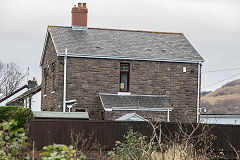
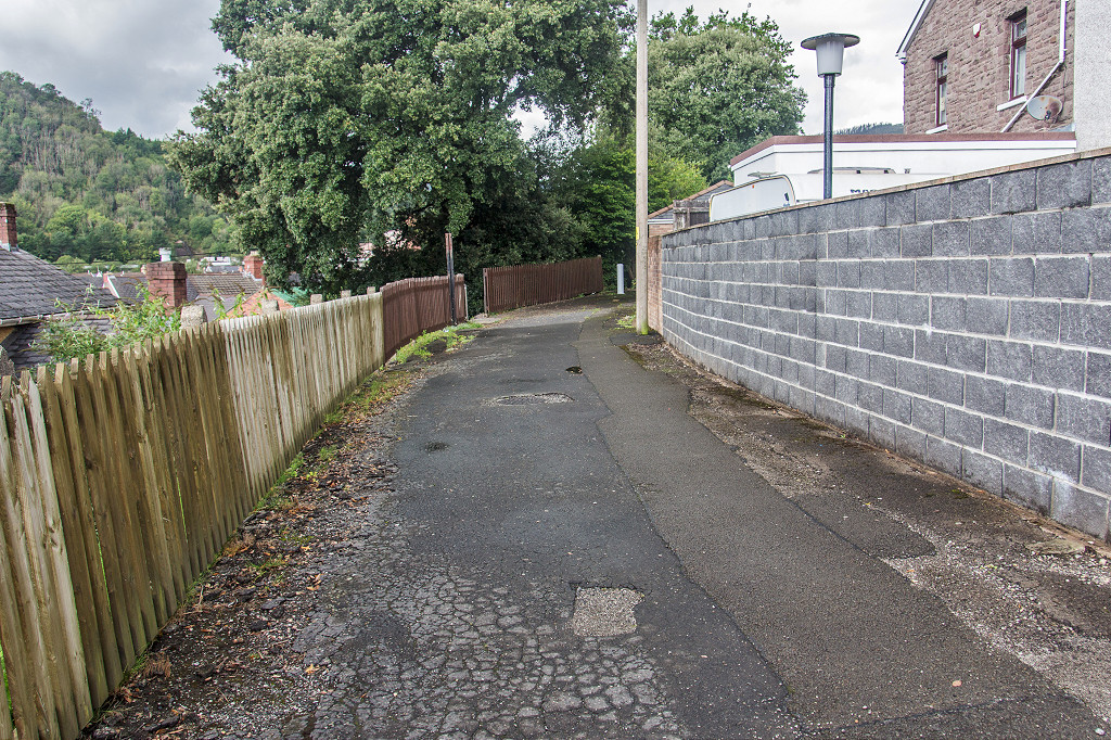
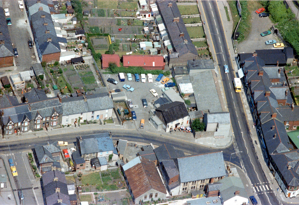
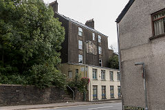
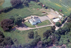
Risca Station House
|
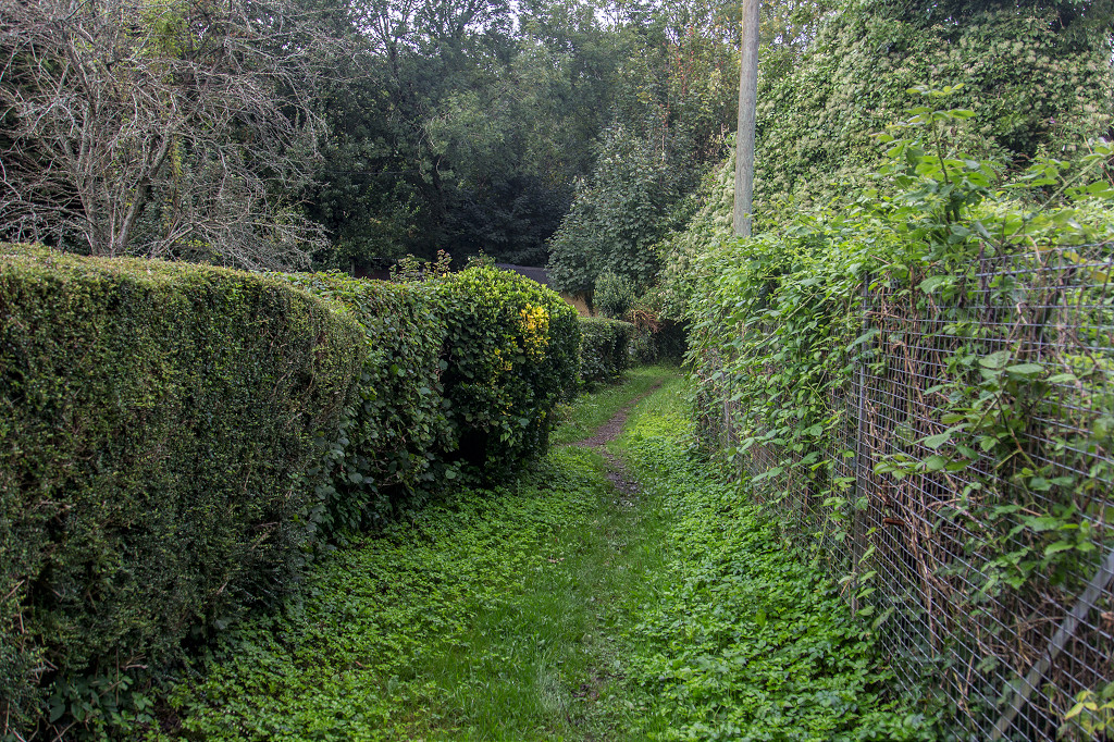
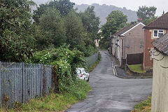
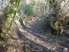
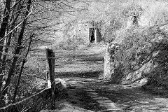
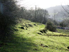
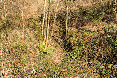
The Monmouthshire Tramroad through Risca
Before it was converted to a railway the Monmouthshire Tramroad threaded a slightly different course through Risca. Odd sections can still be traced where its sharper curves were straightened out.
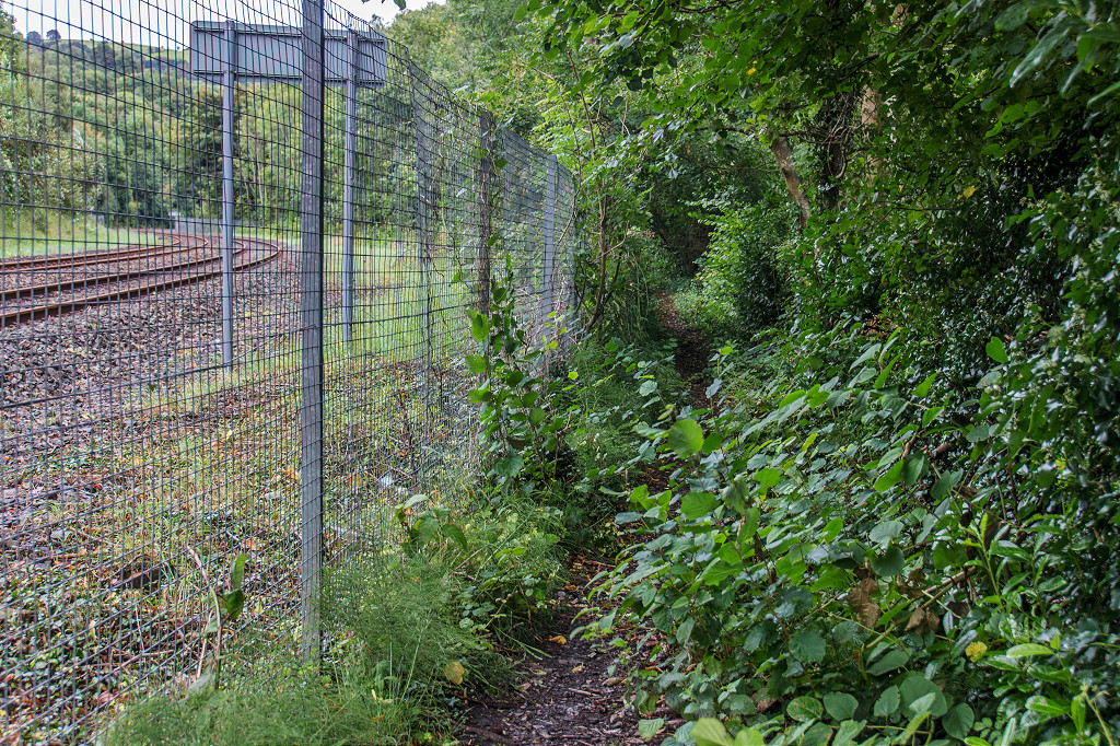
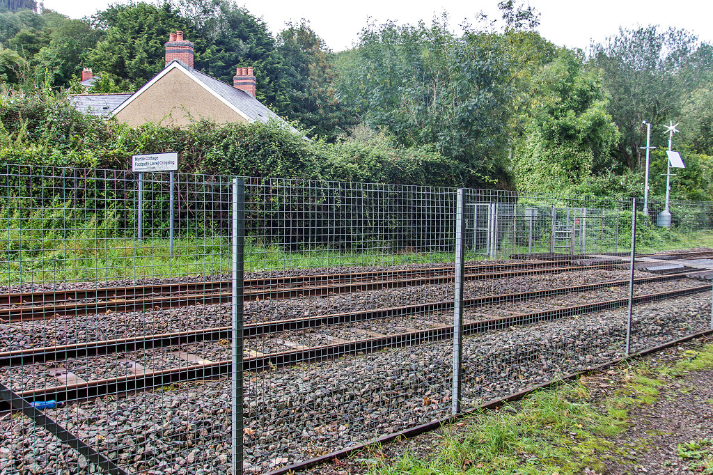
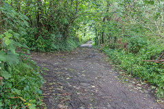
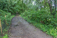
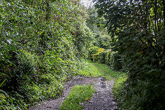
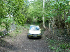
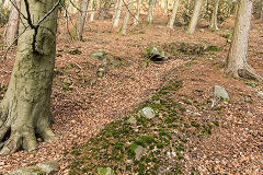
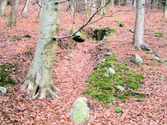
Between Medart Crossing and The Darren - ST 2302 9155
The first section is after Medart Crossing, where it ran between the railway and the cemetery. It crossed the railway at Myrtle Cottage and re-joined the railway line near Darren Brickworks.
The tramroad at Medart Crossing
|
The tramroad at Medart Crossing
|
The tramroad at Myrtle Cottage
|
The tramroad at Myrtle Cottage
|
The tramroad at Myrtle Cottage
|

The tramroad at Myrtle Cottage
|
The tramroad at Myrtle Cottage
|
The tramroad at Myrtle Cottage
|
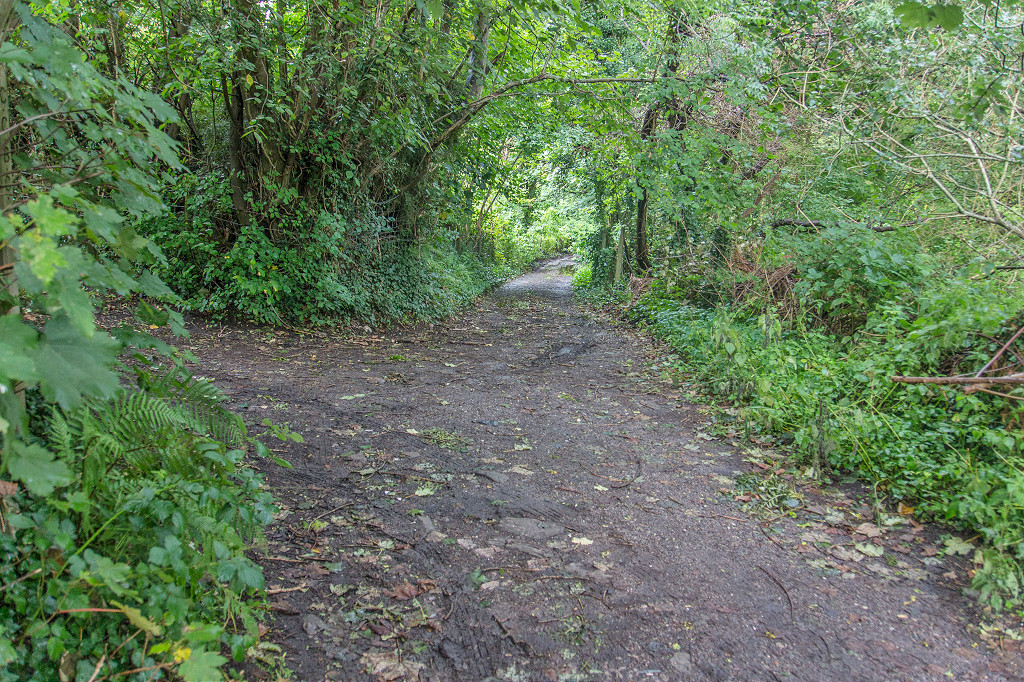
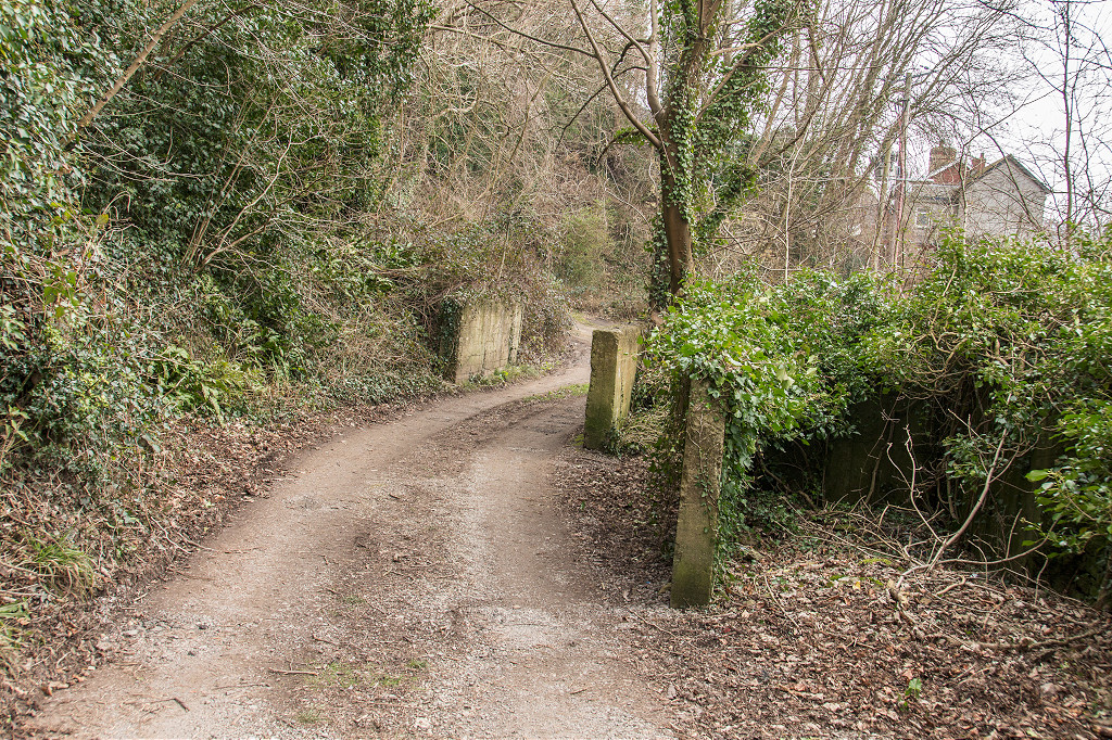
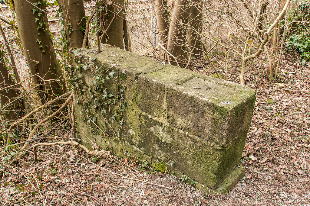
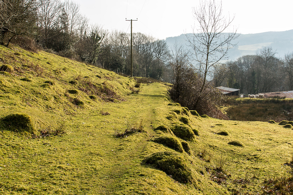
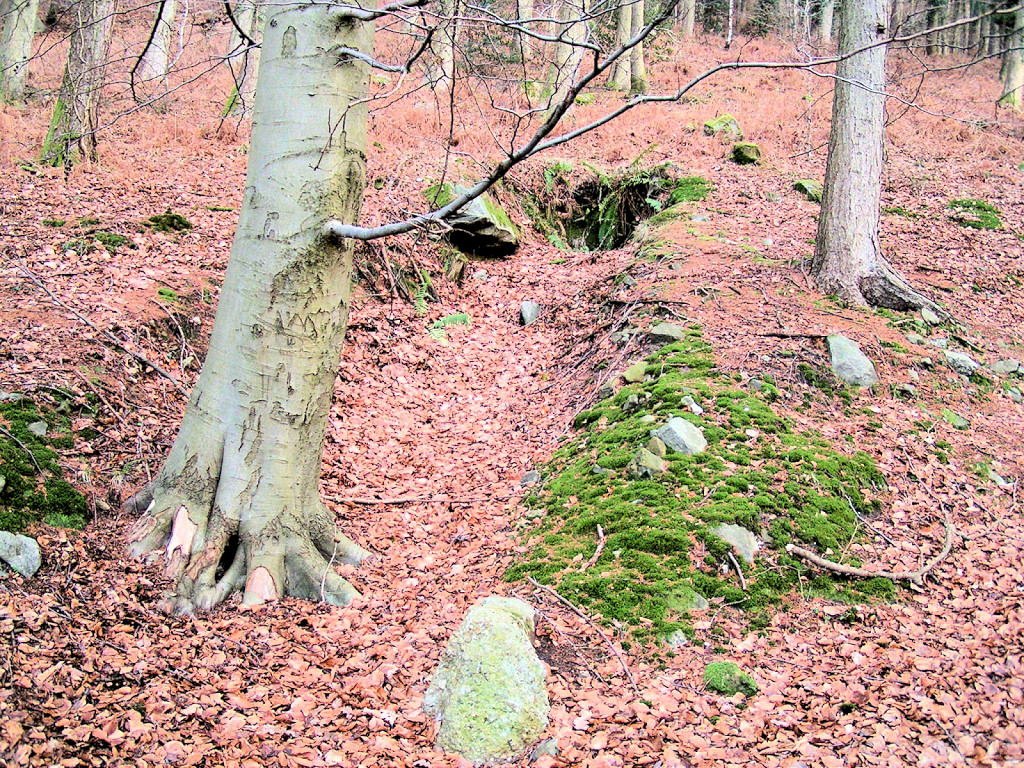
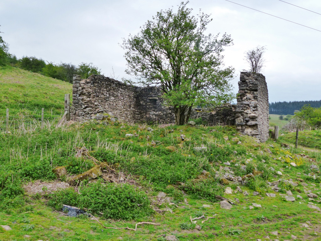
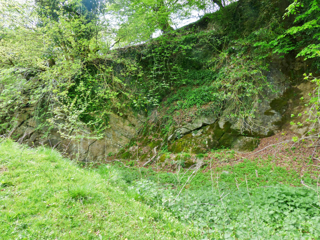
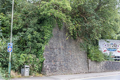
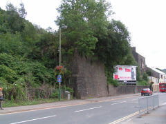
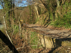
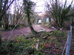
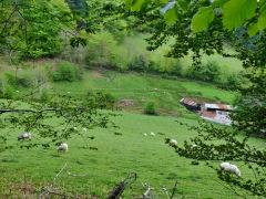
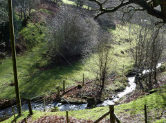
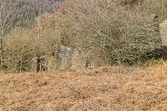
The Long Bridge - ST 2386 9071
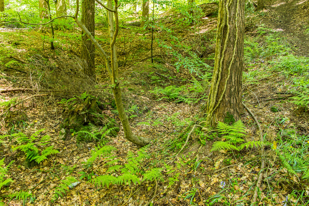
The Monmouthshire Tramroad from Nine Mile Point crossed the Ebbw valley from the copperworks on the Western bank to the appropriately named Bridgend Inn next to the Ebbw Vale line of the tramroad on a heavily-built 32 arch viaduct in 1805. It lasted for 100years, being superseded by the LNWR Sirhowy branch embankment and was demolished in 1905. The LNWR embankment has, in turn, been completely removed leaving just the bridge and viaduct abutments next to the Inn. The inn itself is now a private house, three-storey on the main road side but only two-storey on the lane side as this was the working frontage. It's reached by a narrow, overgrown flight of steps from the foot of the abutments on the main road to a lane which is the course of the tramroad from here to ST 2397 9051. Next to the inn is the site of Risca station, the junction of the LNWR branch, the tramroad and the existing Ebbw Vale line.
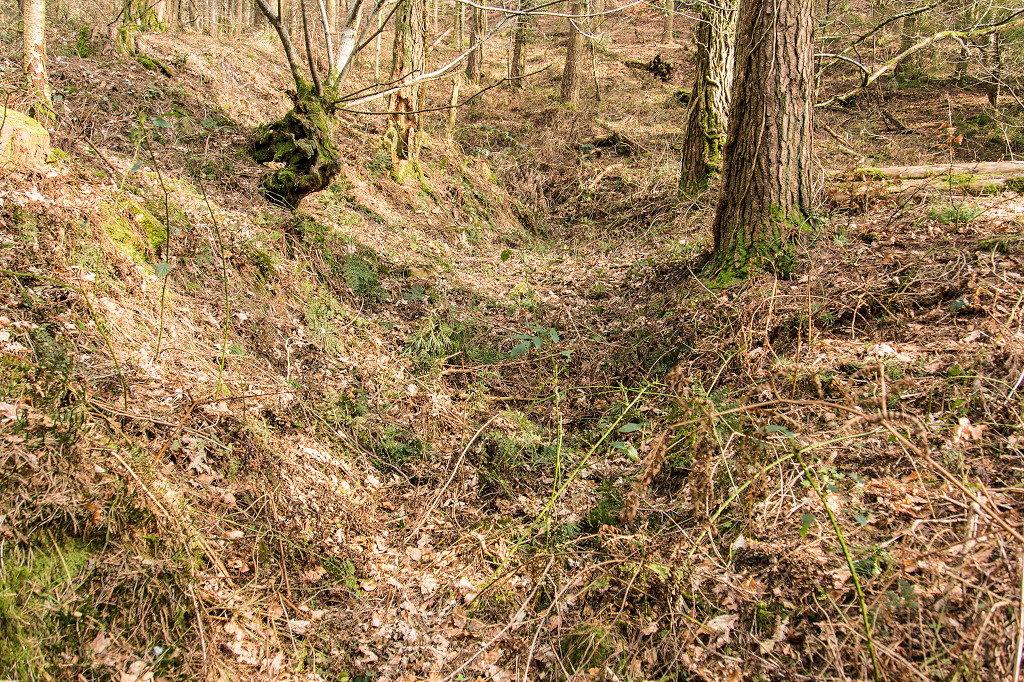
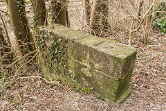
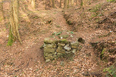
Long Bridge abutments
|
Long Bridge abutments
|
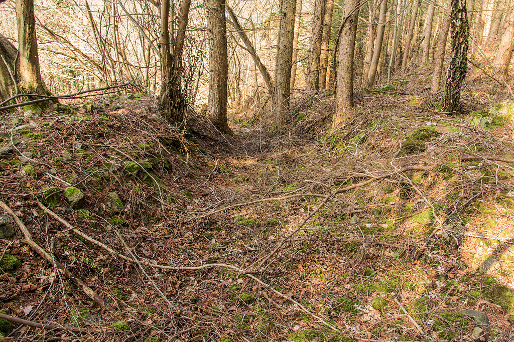
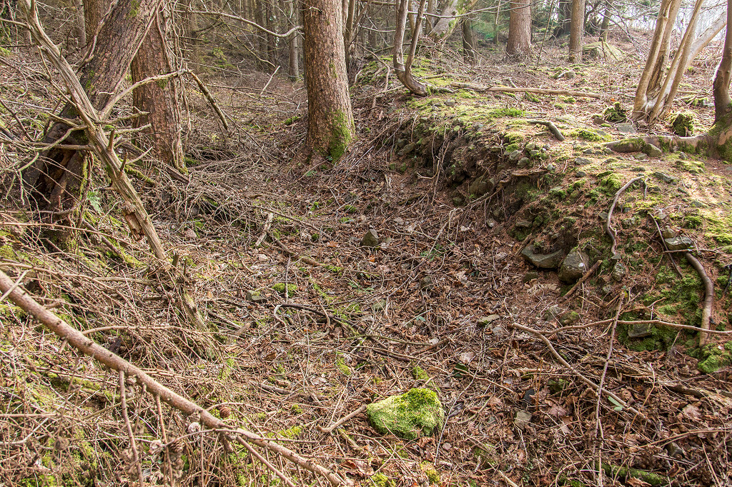
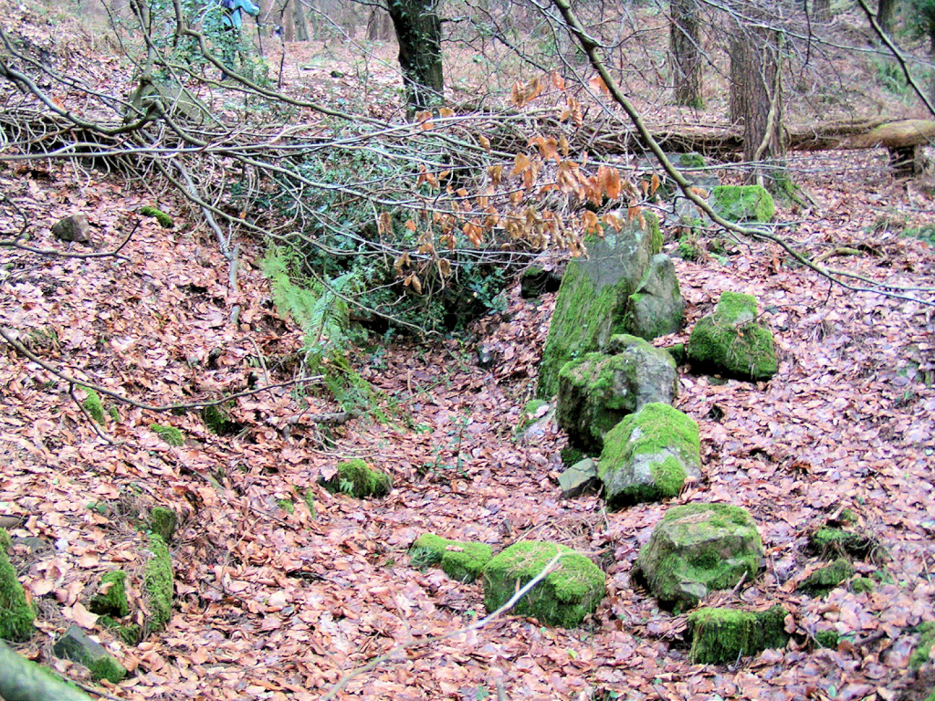
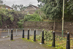
Sirhowy Valley line abutments
|
Sirhowy Valley line abutments
|
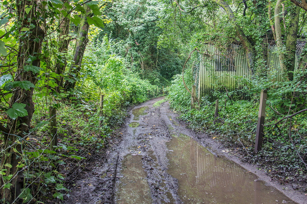
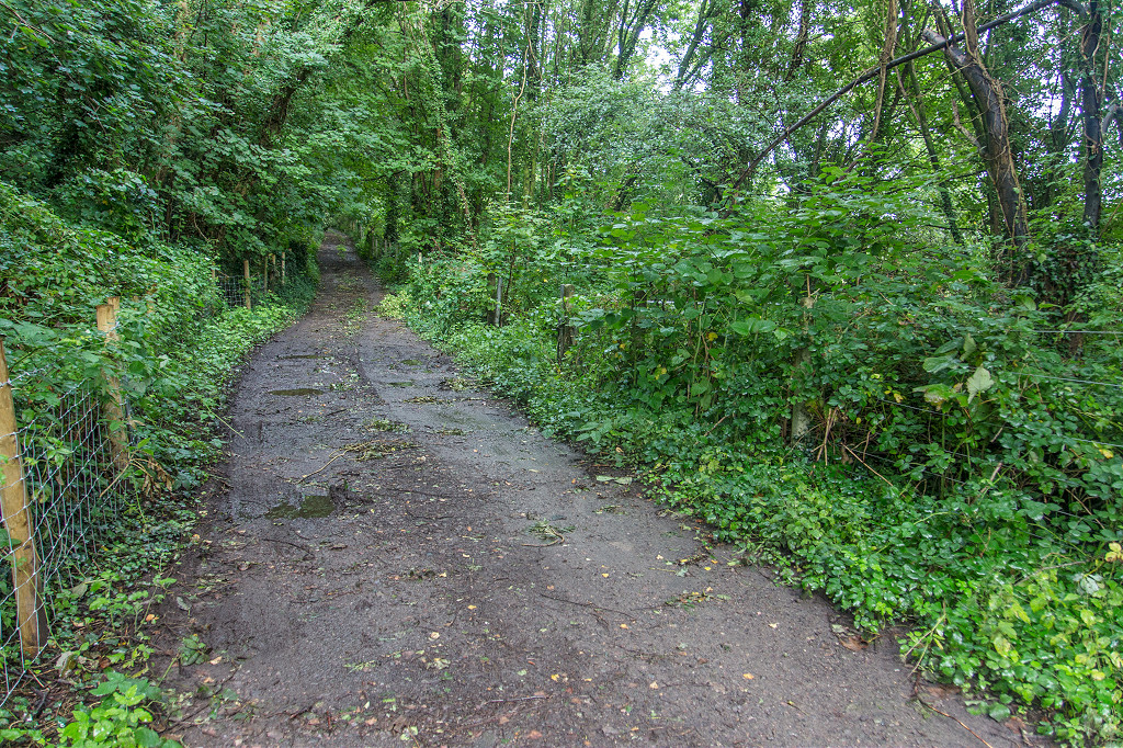
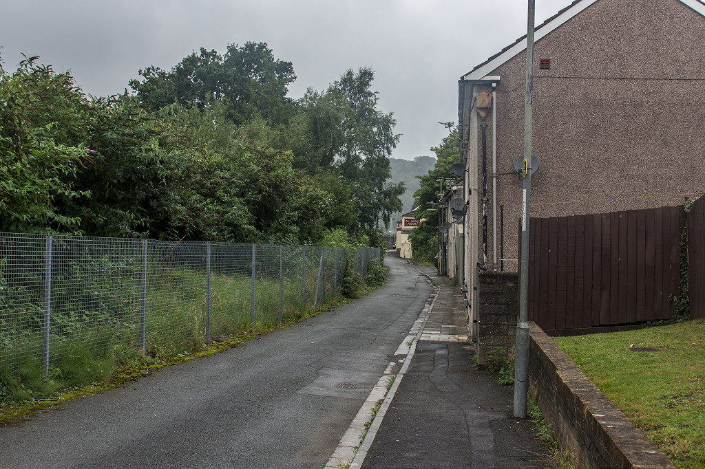
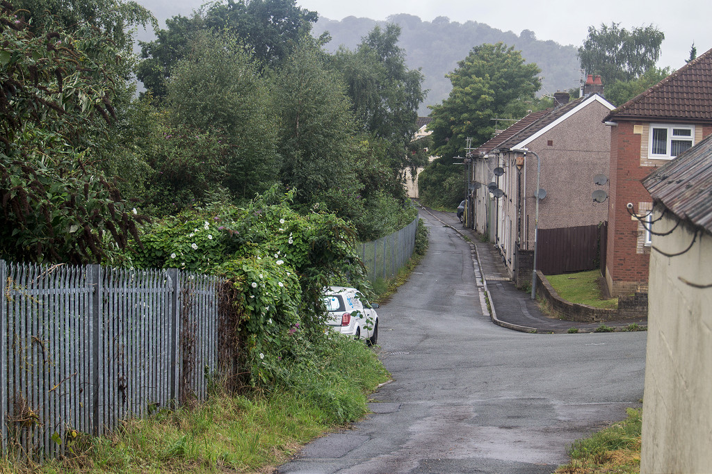
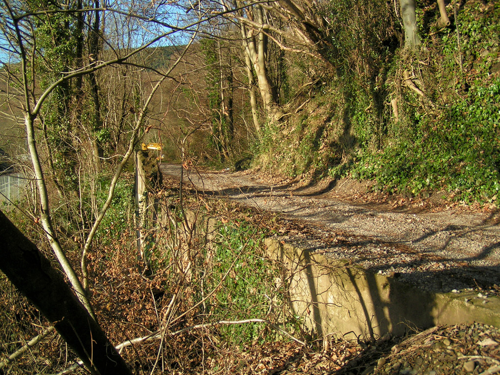
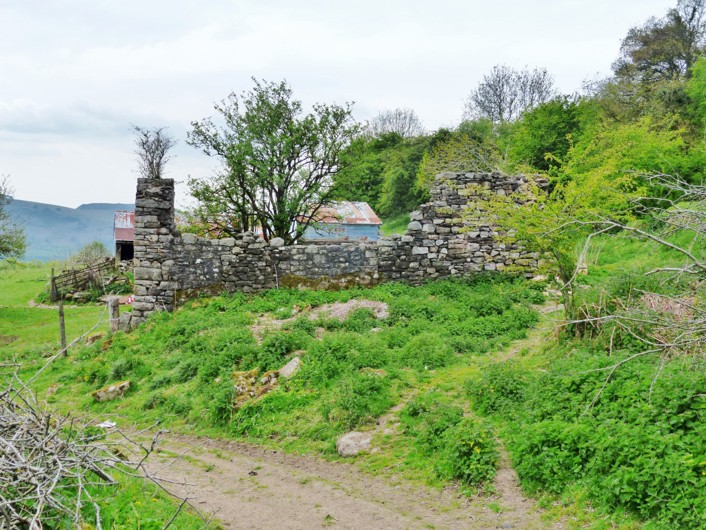
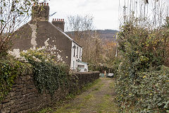
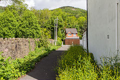
Risca Station - ST 2397 9051
The Bridgend Inn itself is now a private house, three-storey on the main road side but only two-storey on the lane side as this was the working frontage. It's reached by a narrow, overgrown flight of steps from the foot of the abutments on the main road to a lane which is the course of the tramroad. Next to the inn is the site of Risca station, the junction of the LNWR branch, the tramroad and the existing Ebbw Vale line.
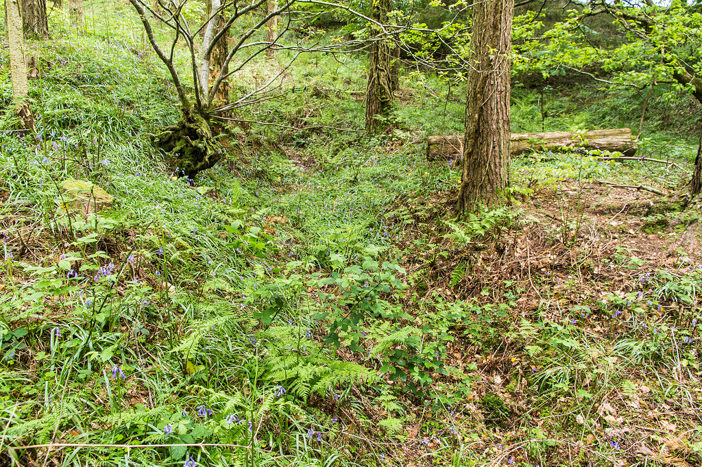
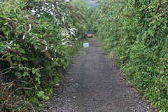
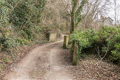
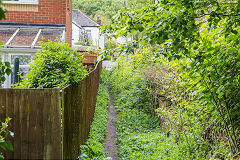
The tramroad at Risca Station
|
The tramroad at Risca Station
|
The tramroad at Risca Station
|

The tramroad at Risca Station
|
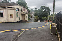
The Masons Arms - ST 2461 9019
At the new Risca and Pontymister Station the tramroad ran in front of the 'Masons Arms' and along Mill Terrace before re-joing the railway line. Approaching the 'Welsh Oak' the tramroad was used as a siding for Ty'n-y-cwm Brickworks.
The tramroad at the 'Masons Arms'
|
The tramroad at the 'Masons Arms'
|
The tramroad at the 'Masons Arms'
|

The tramroad at Mill Terrace
|
The tramroad at Mill Terrace
|

The tramroad at Mill Terrace
|
The tramroad at Mill Terrace
|
|
The tramroad at the 'Welsh Oak'
|
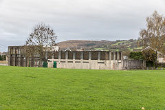
Around Risca
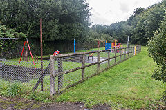
Risca outdoor swimming pool - ST 2366 9076
Tom Cowlin, Deputy Chief Clerk U D C wrote 'Your Town' in the August 1958 1000th edition of The Advertiser "Longbridge Recreational Ground puchased in 1923 provides a football pitch, open space and swimming bath. The council maintains the swimming bath which opened in 1929." Interesting Cowlin refers to 'bath' and not pool or lido. Also Tredegar Park and Ty Isaf Rec Ground were 'presented to the district' by Lord Tredegar in 1897 and 1923, while Wattsvile Rec Ground, Longbridge and the Stores Field were purchased by the council in 1932, 1923 and 1922, The Stores Field was then leased to Risca Rugby Club. From 1920-1937 many relief schemes were constructed to provide work for the unemployed The recreational projects above were included in these schemes as was the work to construct Waunfawr Park, which commenced in 1921 At that time 700 people were drawing unemployment benefit, which included 270 ex sevice men'
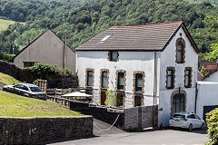
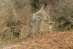
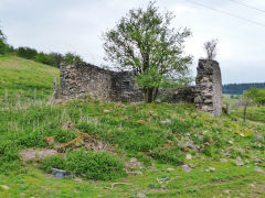
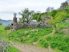
Risca Brewery - ST 2389 9096
Risca Brewery was up and running by 1883 and still up and running in 1920 but the site appears to have been cleared by the 1960s. Luckily the stable and office block survives as a very smart private house that maintains it's heritage.
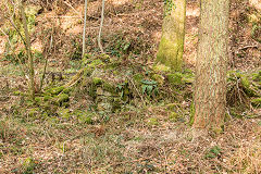
Penrhiw Quarry - ST 2409 9105
This quarry was working in 1883 with the OS map showing a short tramway there. It had closed by 1901 and now forms the grounds of a house.
Risca outdoor swimming pool
|
Brewery stables and office
|
Brewery stables and office
|
|
Bridgend Inn
|

Bridgend Inn sign still visible
|
Bridgend Inn along the tramroad
|
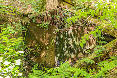
Risca UDC electricity substation
|
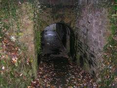
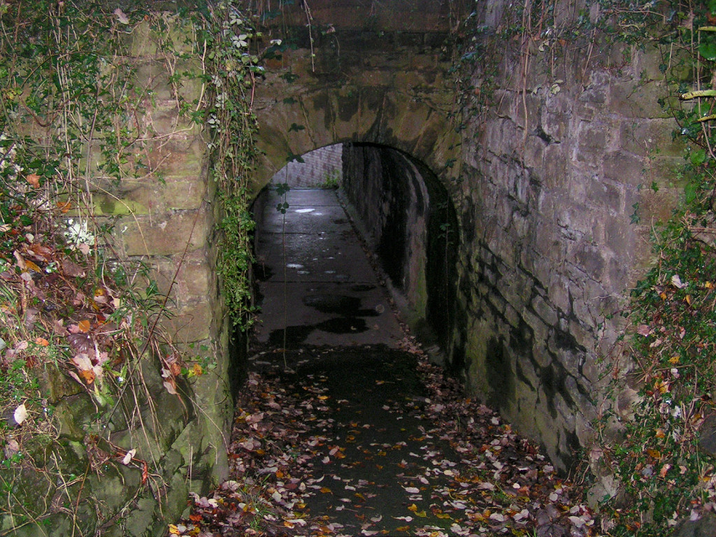
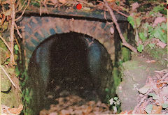
St Mary Street pedestrian tunnel
|
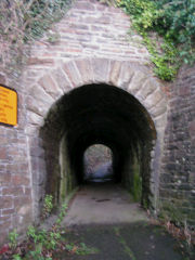
St Mary Street pedestrian tunnel
|
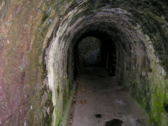
St Mary Street pedestrian tunnel
|
|
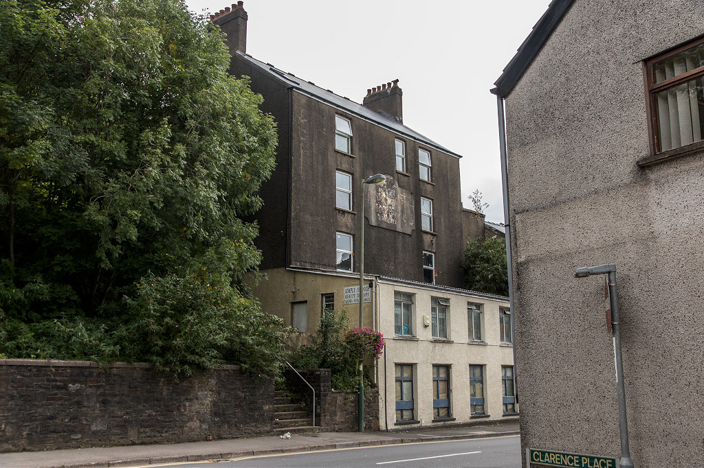
Albert Hotel area, Risca
|
Danygraig House, Risca
|
Railway Tavern, Risca
|
|
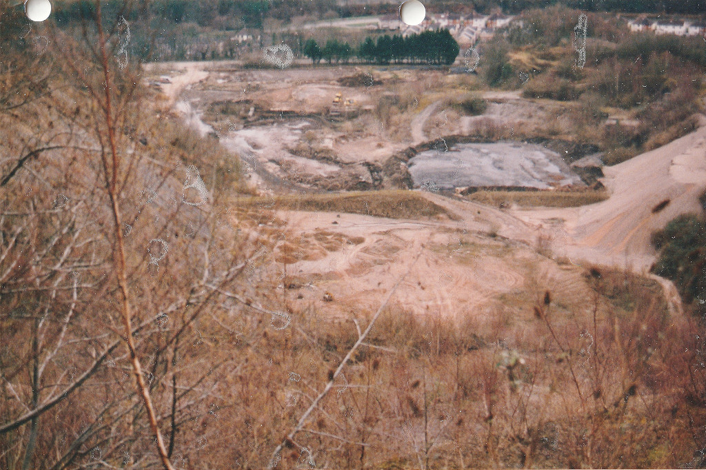
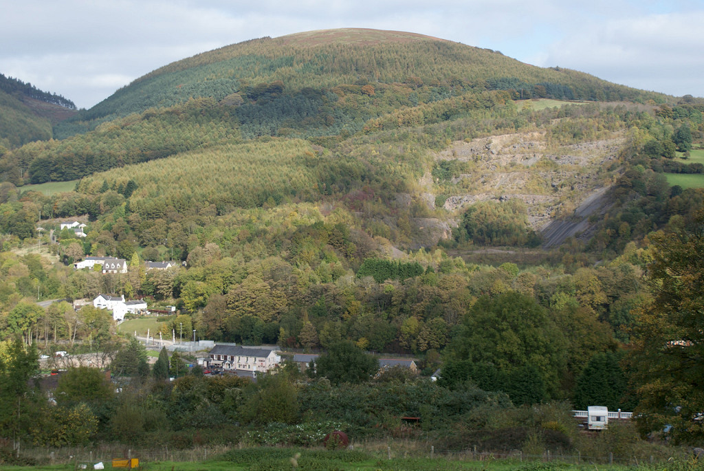
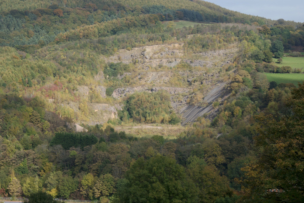
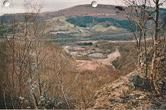
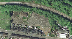
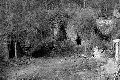
Risca Quarry - ST 2355 9135
Darren Quarry - ST 2375 9165
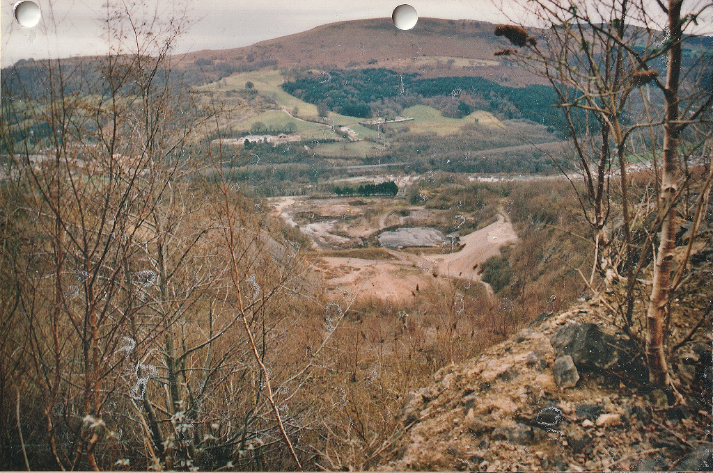
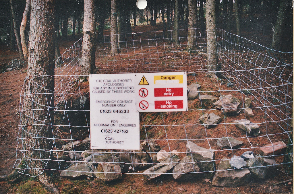
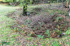
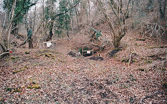
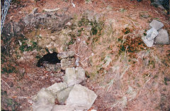
Between the railway and the canal there are a lot of concrete foundations for a loading bank, including a small building (a weighbridge?) at exit of the stone tunnel from Darren Quarry (or Darran Quarry, also sometimes known as Fernlea Quarry). This area was the site of the earlier Risca Quarry, working by the 1880s, with a limekiln on site but marked as old in 1901. The very large quarry at Darren was opened before the 1870s, probably being an extension of existing limekilns and becoming disused by the 1970s. The main expansion occurred in the 1920s and 30s, creating extensive workings with 2ft gauge tramways using a small Lister petrol loco by the 1940s. This vast hole in the ground has been proposed for all sorts of fascinating activities from rubbish dump to marina and chair lift to Twmbarlwm but it's still just a hole in the ground.

Risca Old Quarry
|
Darren Quarry, c2000
|

Darren Quarry, c2000
|
Darren Quarry
|

Darren Quarry
|
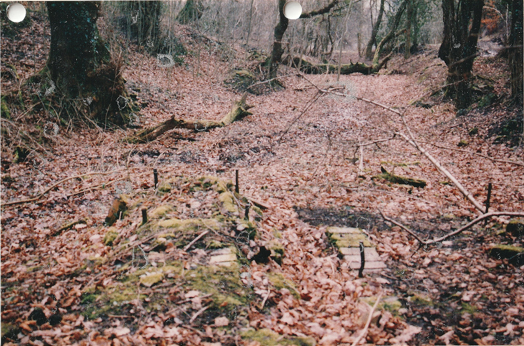
Darren Quarry loading bank
|
Darren Quarry loading bank
|
Darren Quarry loading bank
|
Darren Quarry loading bank
|
Darren Quarry loading bank
|
Darren Quarry loading bank
|
Possible weighbridge shed
|
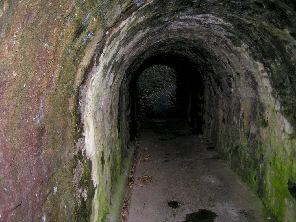
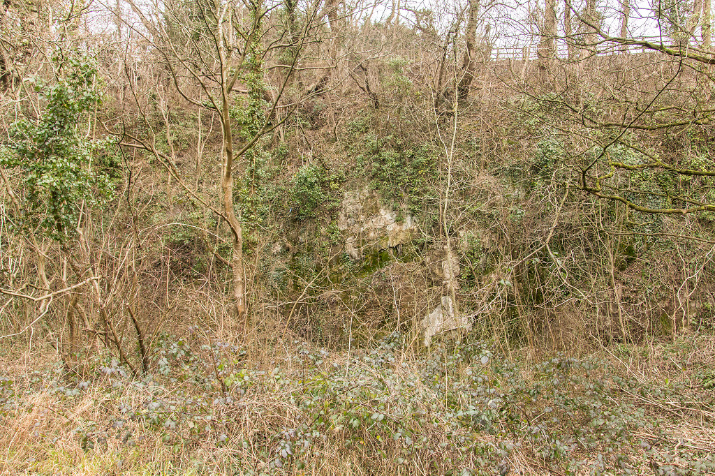
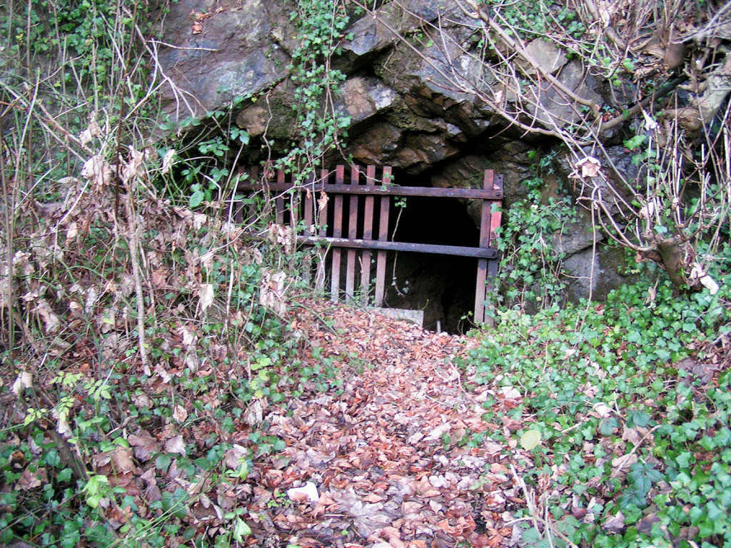
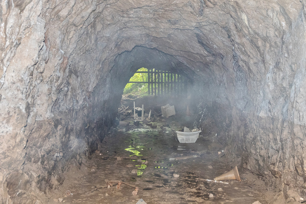
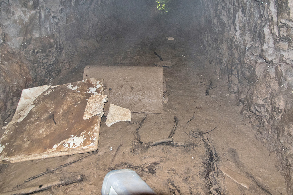
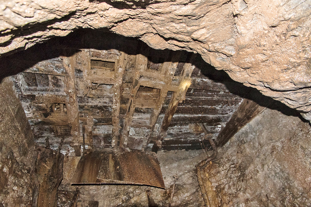
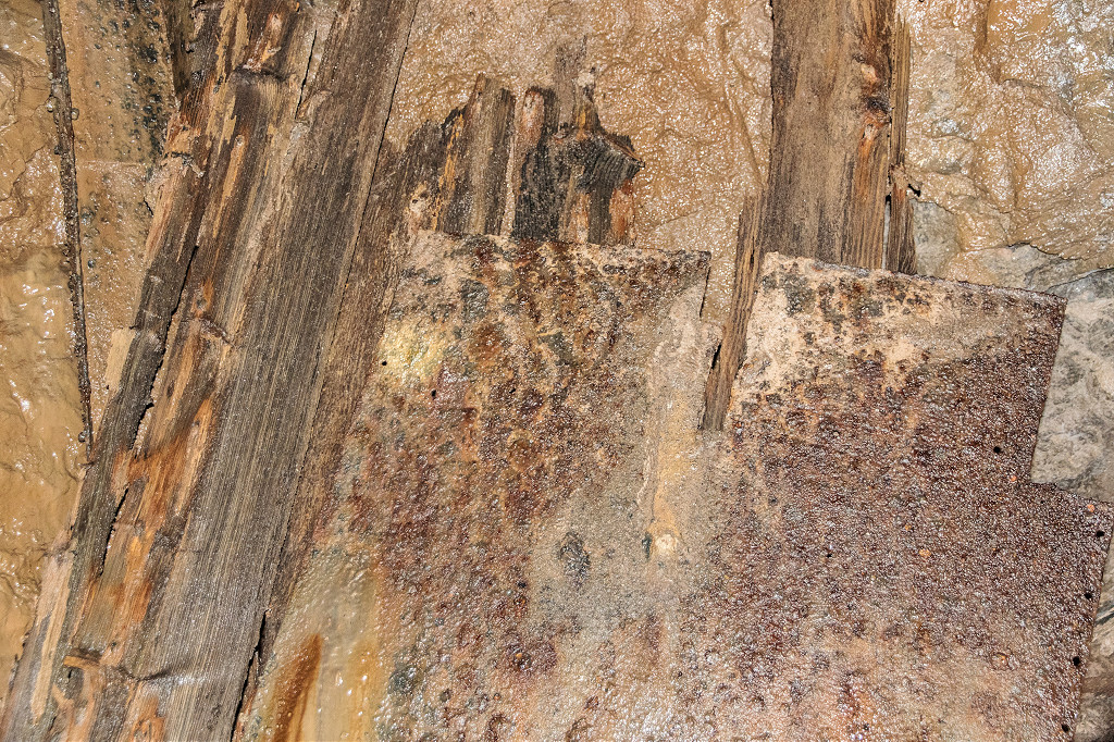
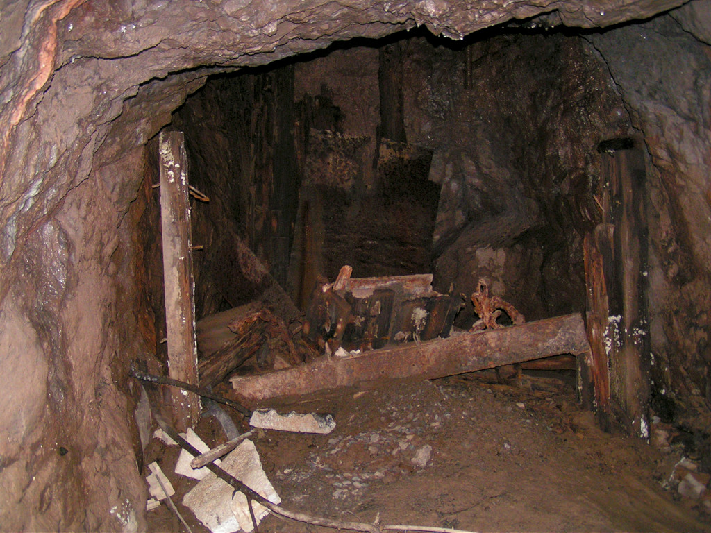
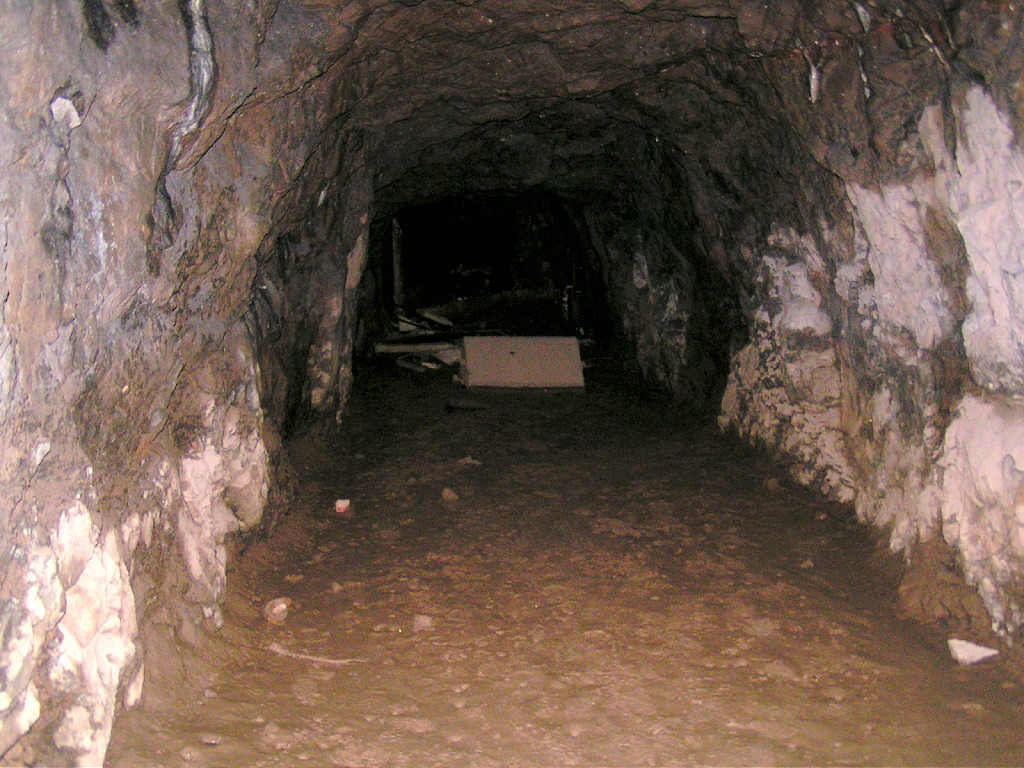
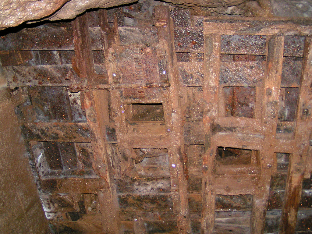
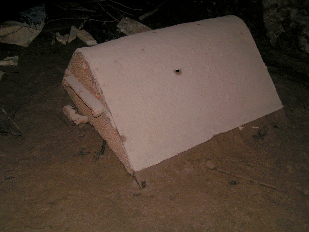
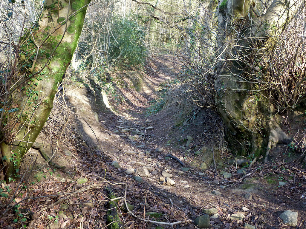
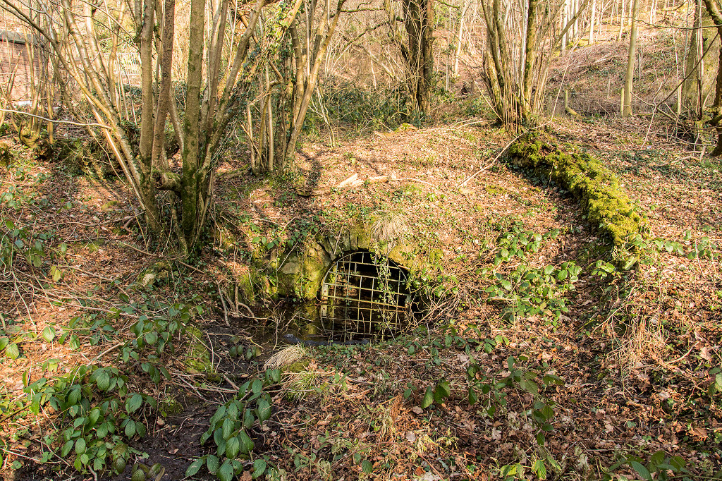
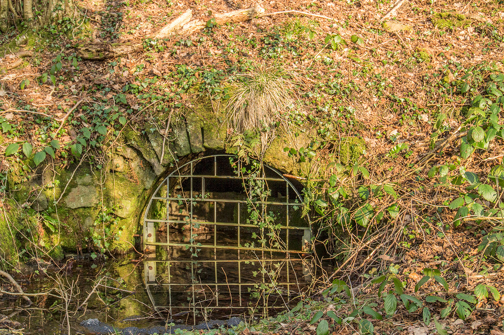
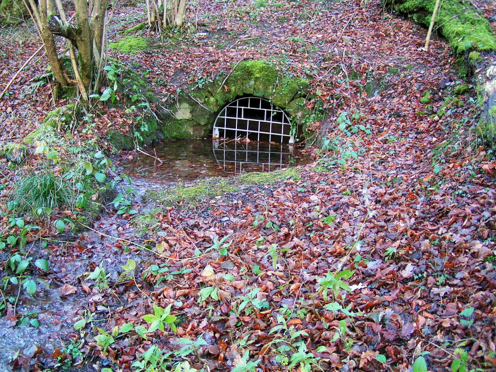
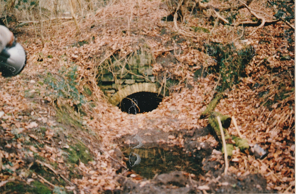
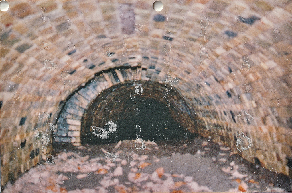
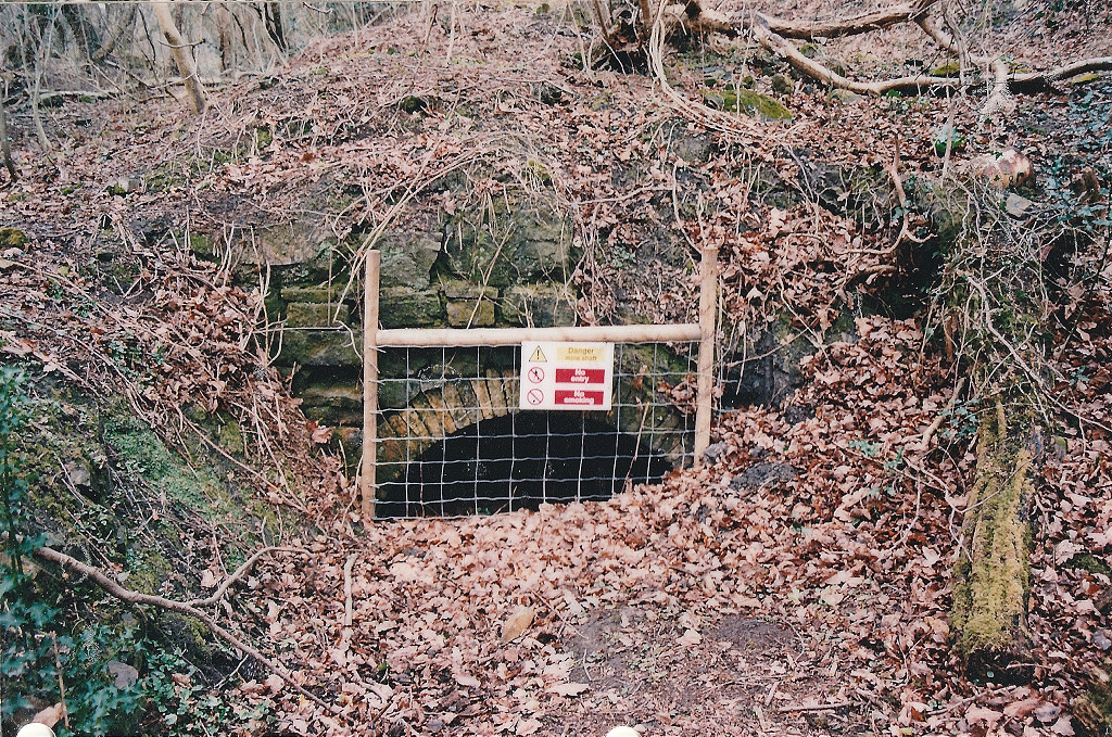
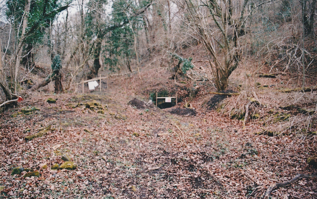
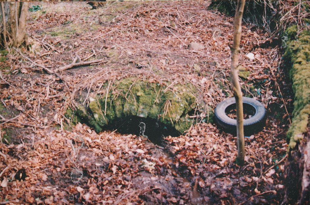
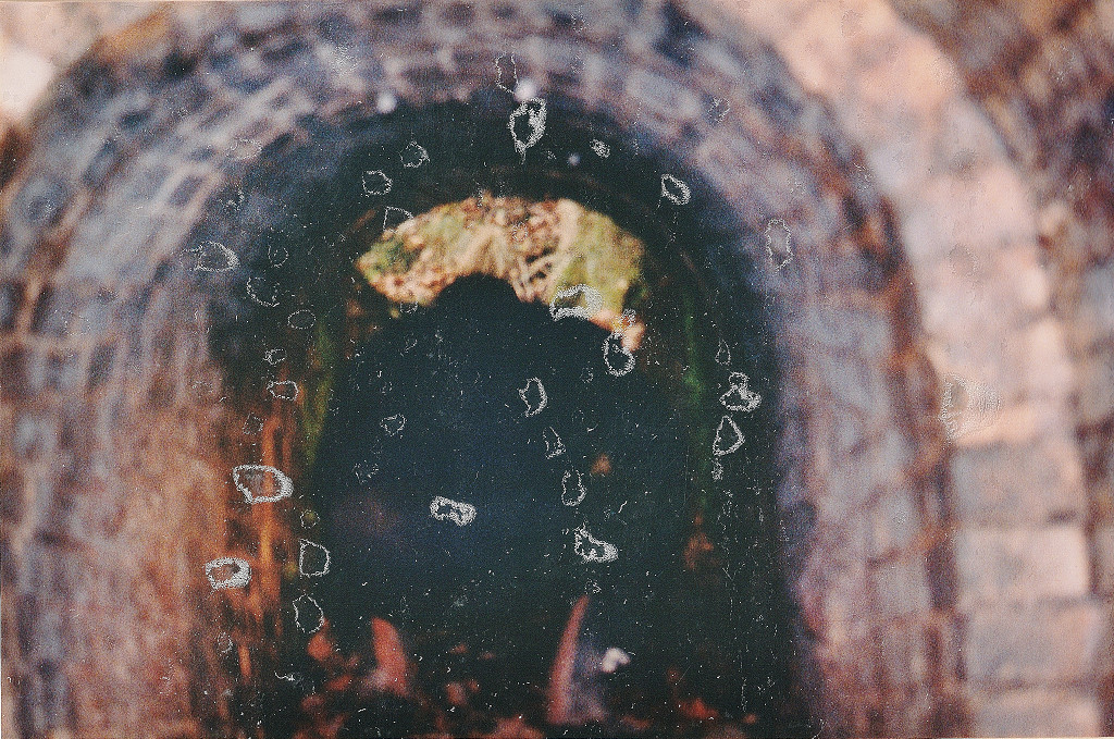
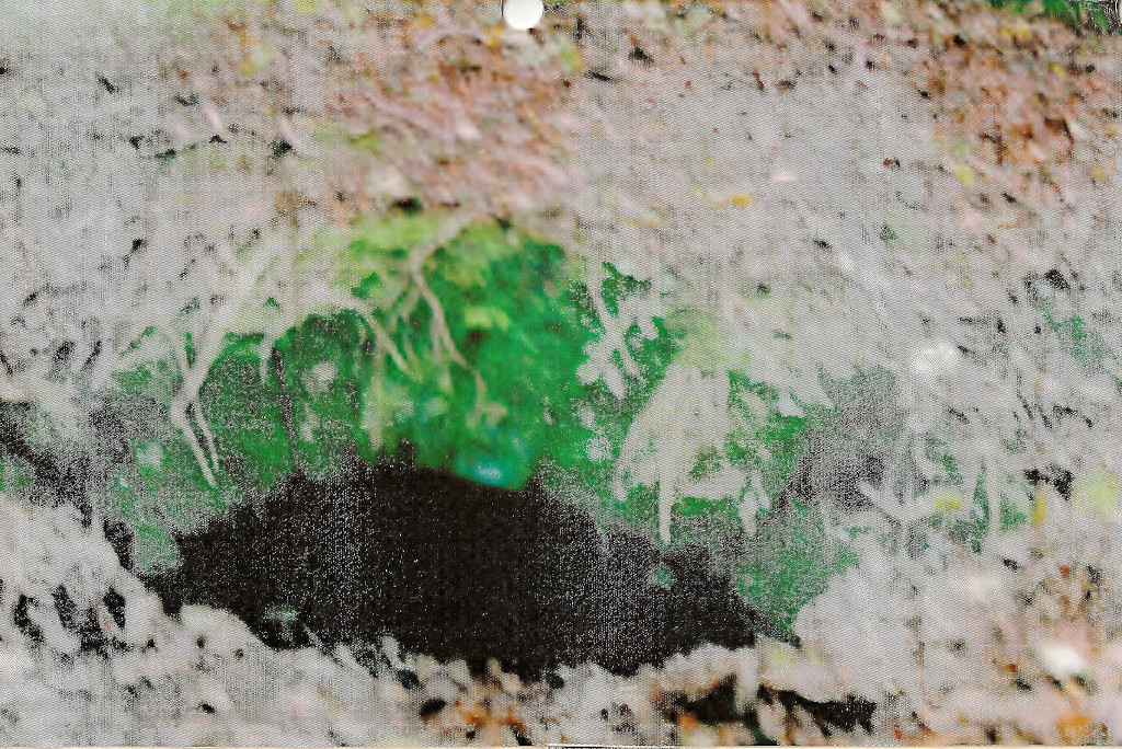
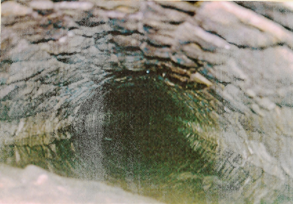
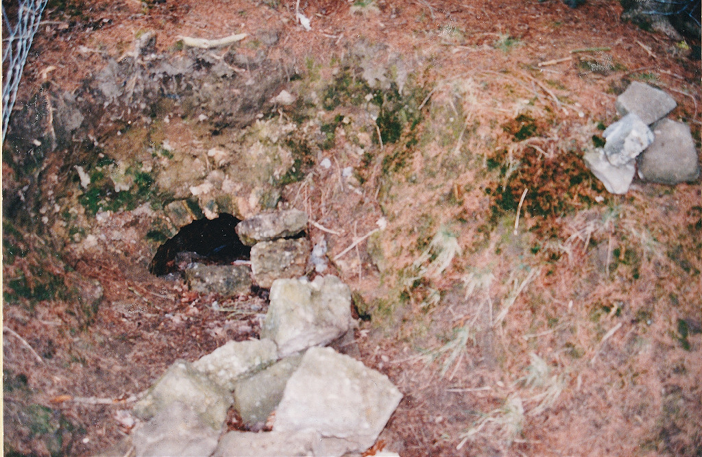
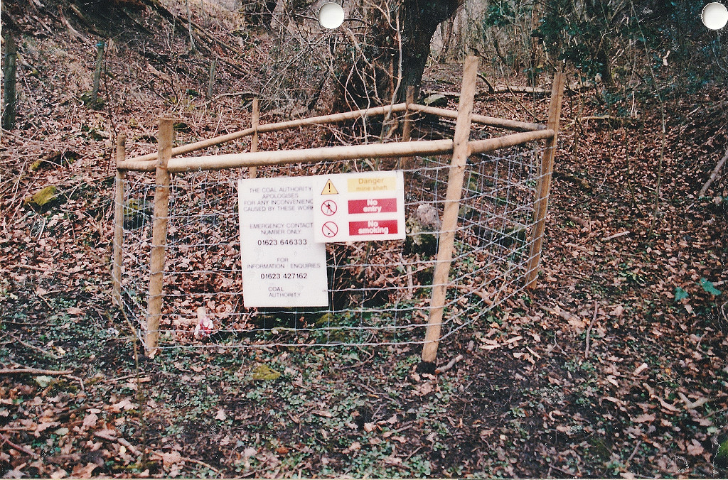
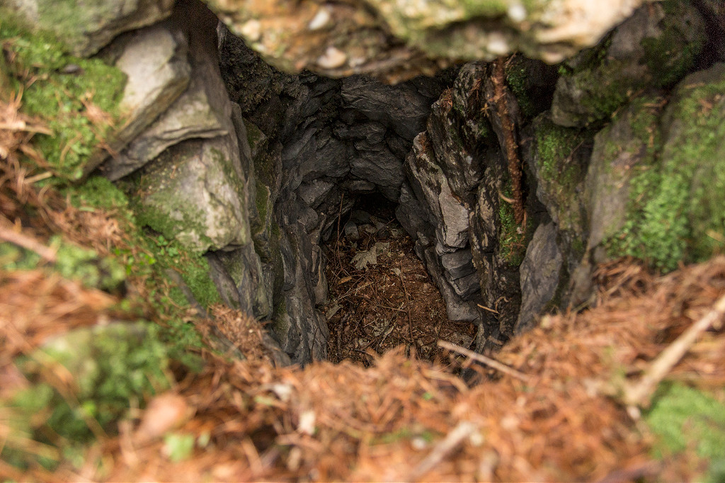
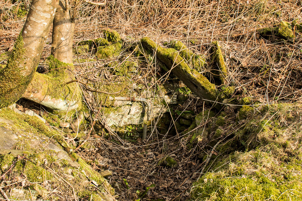
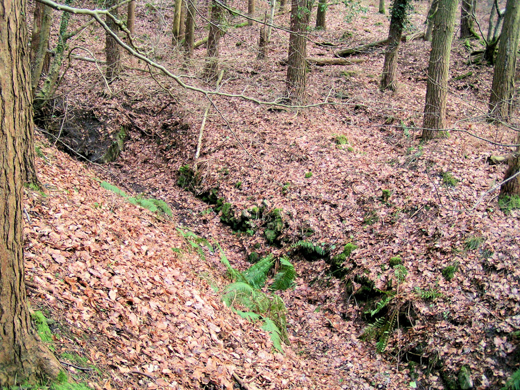
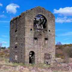
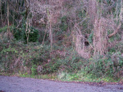
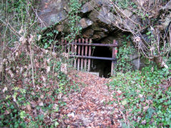
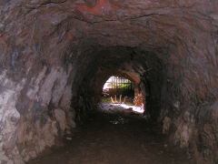
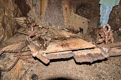
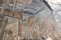
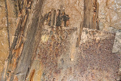
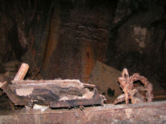
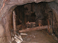
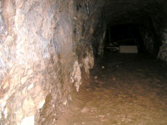
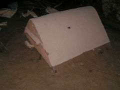
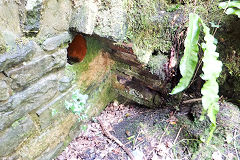
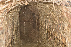
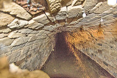
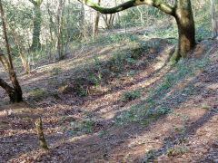
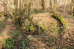
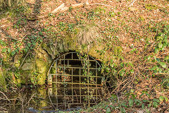
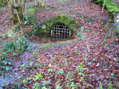
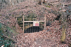
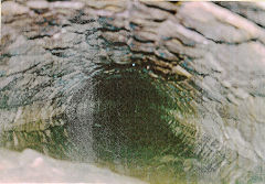
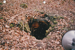
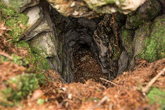
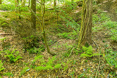
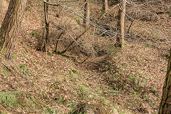
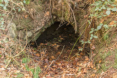
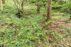
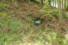
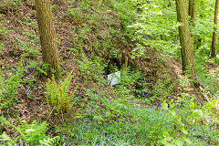
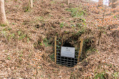
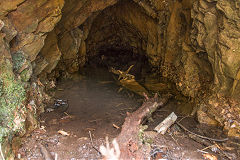
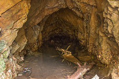
Darren Quarry Tunnel - ST 2359 9131
A sizeable unlined tunnel seems to have led from a shaft in the quarry yard, under the canal and Darren Road to the railway loading bank in Risca Quarry. In 2008 the tunnel contains the remains of a 'gate' at the foot of the shaft and the body of a jubilee v-skip. Before the tunnel, maps show a bridge over the canal and an incline down to the loading bank.
Darren Quarry tunnel, c2000
|
Darren Quarry tunnel
|
Darren Quarry tunnel
|

Darren Quarry tunnel
|
Darren Quarry tunnel
|

Darren Quarry tunnel
|
Darren Quarry tunnel
|

Darren Quarry tunnel
|
Darren Quarry tunnel
|
Darren Quarry tunnel
|
Darren Quarry tunnel
|
Darren Quarry tunnel
|
Darren Quarry tunnel
|

Darren Quarry tunnel
|

Darren Quarry tunnel
|
Darren Quarry tunnel
|
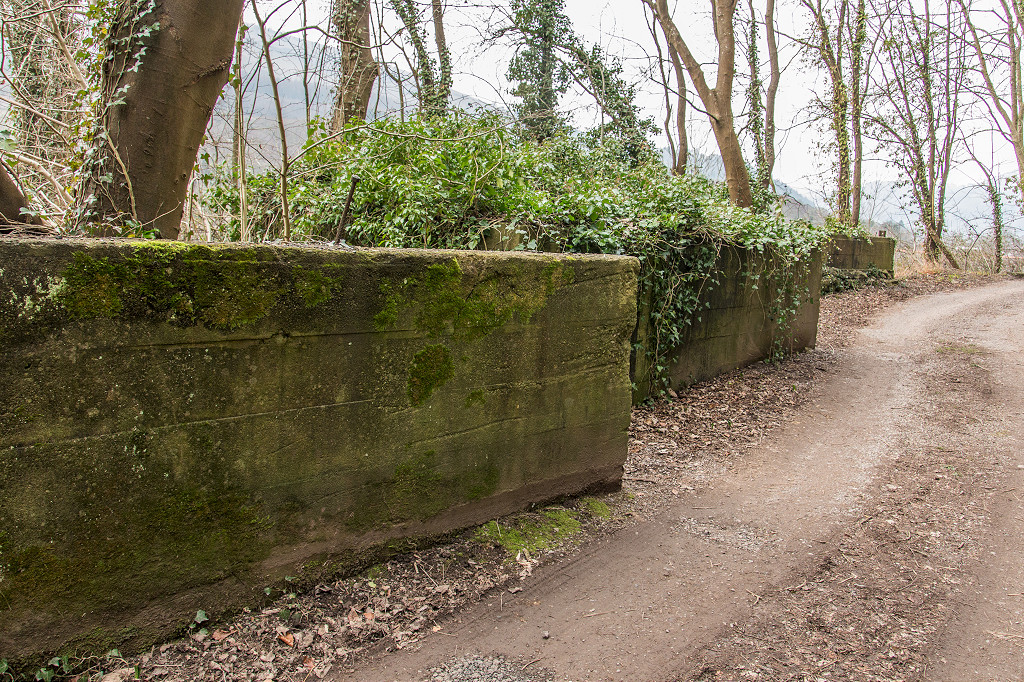
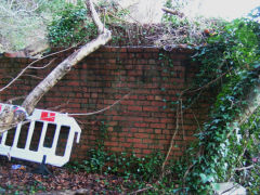
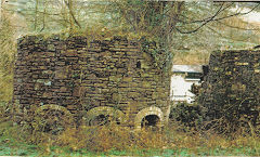
Darren canal bridge - ST 2343 9157
The tramway connecting Darren and Risca Brickworks and the mines crossed this bridge. Look out for the stone block at the Northwest end that kept the tramway rope from damaging the bridge and has the groove cut into it to prove it.
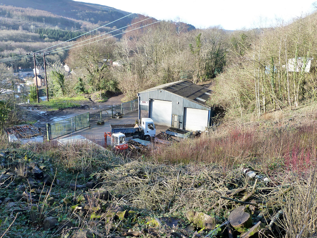
Darren Brickworks - ST 2342 9153
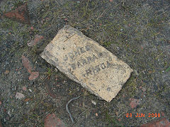
Below the bridge was Darren Brickworks, originally with kilns on the canal bank but later with kilns beside the railway line. It is a brick kiln on the 1843 Tithe map, occupied by 'Abraham Brain' and 'Job Price'. It was disused by 1920 and buried underneath the new Darren Road and a new industrial unit so hard to see anything now. It was latterly owned by the Jones family who also owned the Risca Brickworks.
There is more information on the
Brickworks of Wales website.
Darren brickworks site
|

Darren brickworks site
|
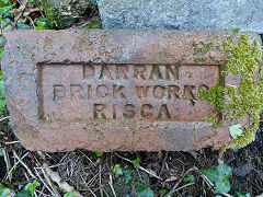
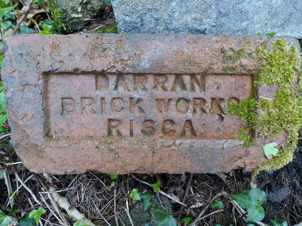
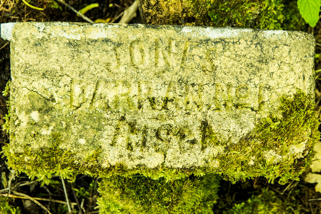
'Darran Brick Works Risca'
|
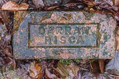
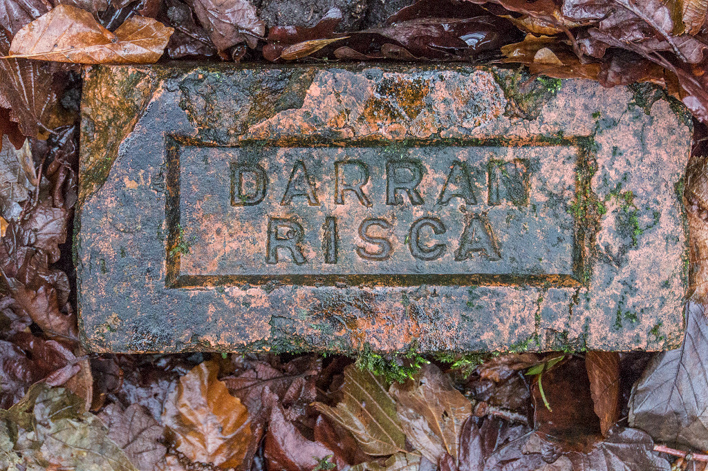
'Darran Risca'
|

Darren canal bridge ropemarks
|

Darren canal bridge ropemarks
|
|

Lime Kiln Crossing, c2000
|
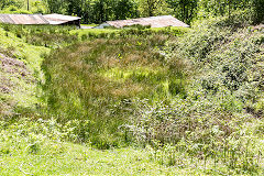
Cwm-byr Brickworks - ST 2322 9162
Cwm-byr Brickworks was opened in 1849 by William Brain and Fergus Best who appear to have named it the 'Twyn Brickworks'. It had two kilns, a waterwheel and a 10hp steam engine. The Brain and Best partnership was dissolved in 1853 and William carried on alone until his bankrupcy in 1861. Who took over then is not known but it may have been an early venture of Francis or James Jones who is reported as being involved in the brick trade by 1861. The works was 'disused' by 1917. I've never seen or heard of a brick stamped 'Cwm-byr' or 'Brain & Best'.
Cwm-byr Colliery (II) - ST 2317 9154
The second Cwm-byr Colliery (the older colliery was in Crosskeys) dates from 1875. It was opened by Henry Green (of Green's level) and Job Price (of the Darren Brickworks). The 'London & South Wales Coal Co Ltd' took over c1873 and in 1882 sold it to Jane Jones of 'Jones Darran Brickworks'. It was working until around 1900 with a level directly under the GWR and is now another pleasant housing estate - but not a Colliery!
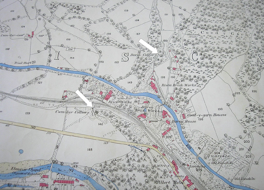
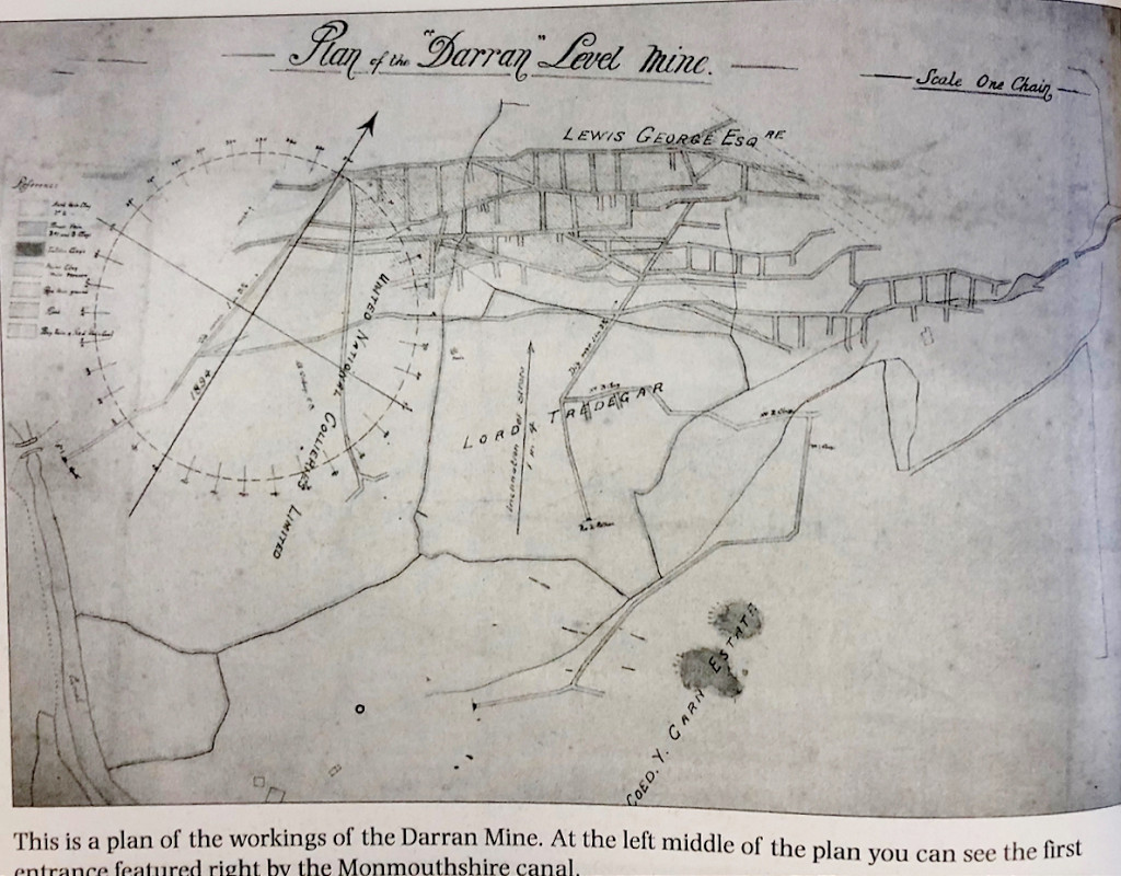
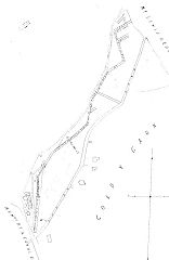
One of Reg Malpass' maps showing Cwm-byr Colliery and Darren Colliery arrowed in 1878 with Cwm-byr, Darren and Risca Brickworks also shown.
Click on the thumbnail and click on 'Full Size' to get the most from the map.
|
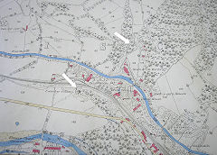
Cwm-byr Colliery, 1878
|
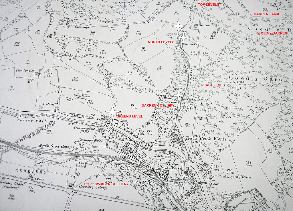
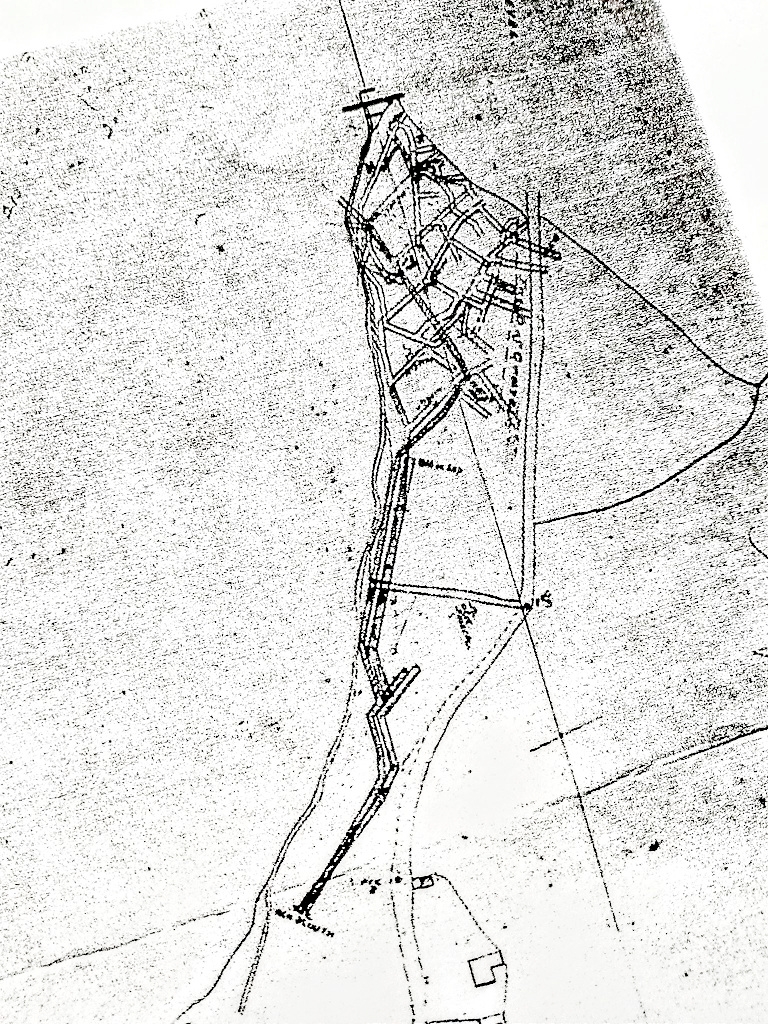
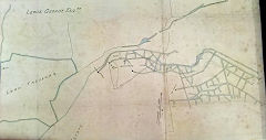
Another from Reg Malpass showing Greens Level in 1899 with later layouts of Cwm-byr, Darren and Risca Brickworks. Cwm-byr Colliery had already disappeared.
Click on the thumbnail and click on 'Full Size' to get the most from the map.
|
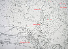
Cwm-byr Colliery area, 1899
|
Cwm-byr brickworks site
|
Cwm-byr brickworks site
|
Course of MRCC tramroad
|
The site of Cwm-byr Colliery
|
Archdeacon Coxes incline of 1798 - ST 2315 9165
This is the route of the Blackvein Colliery incline that Archdeacon Coxe visited in 1798. Geographically it matches up with a road and bridge over the river that would have led to the older Blackvein workings and appears on a number of maps dated from 1809 to 1813.
Full details are here :-
Risca Blackvein Colliery
Archdeacon Coxes incline of 1798
|
Archdeacon Coxes incline of 1798
|
Archdeacon Coxes tramroad
|
Archdeacon Coxes tramroad
|
Archdeacon Coxes engine field
|

Cwm-byr-isaf Engine Field
|
Cwm-byr-isaf trial shaft
|

Railway on stop for dualling
|
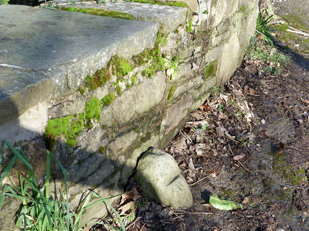
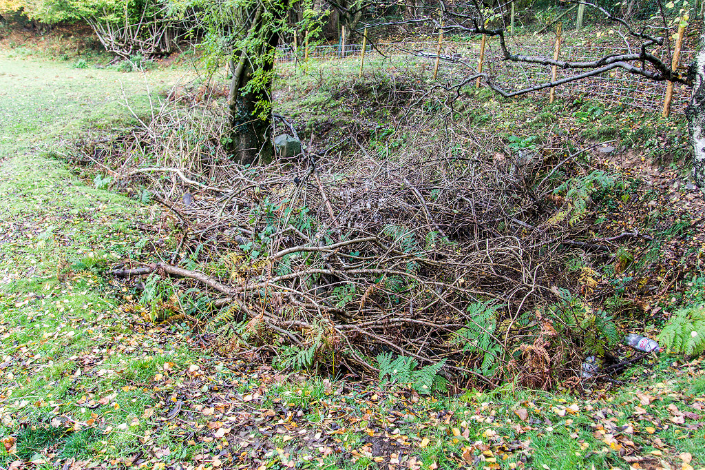
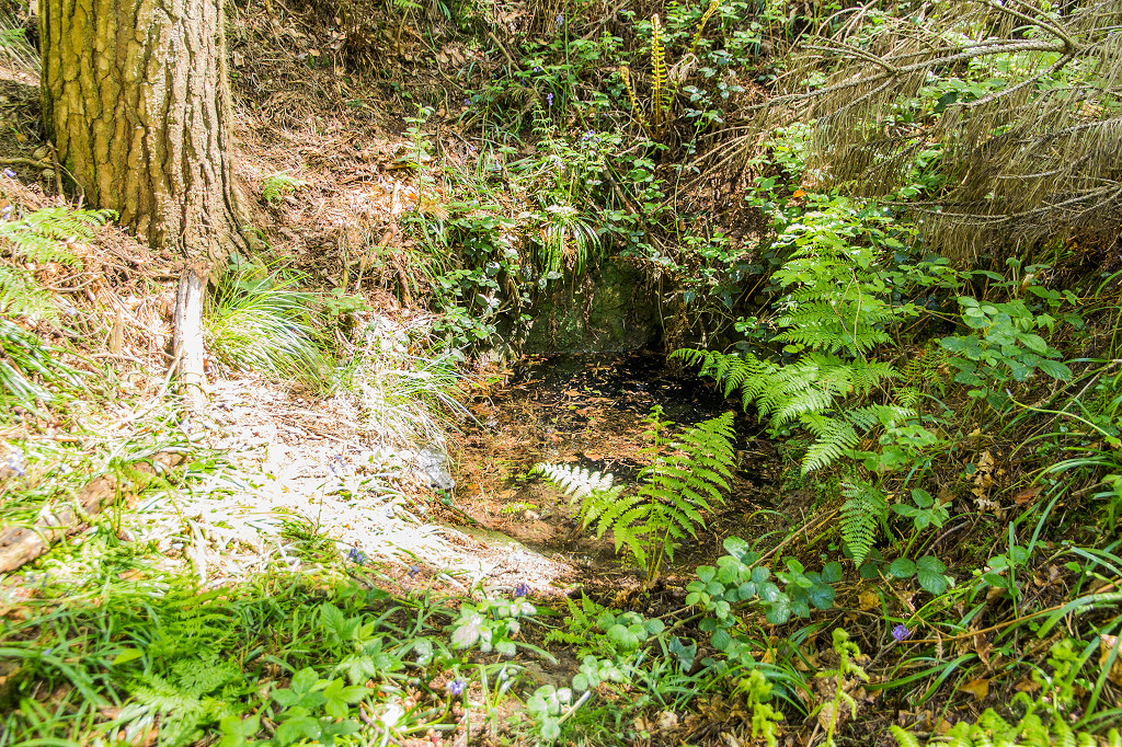
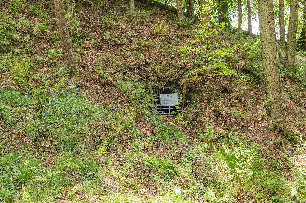
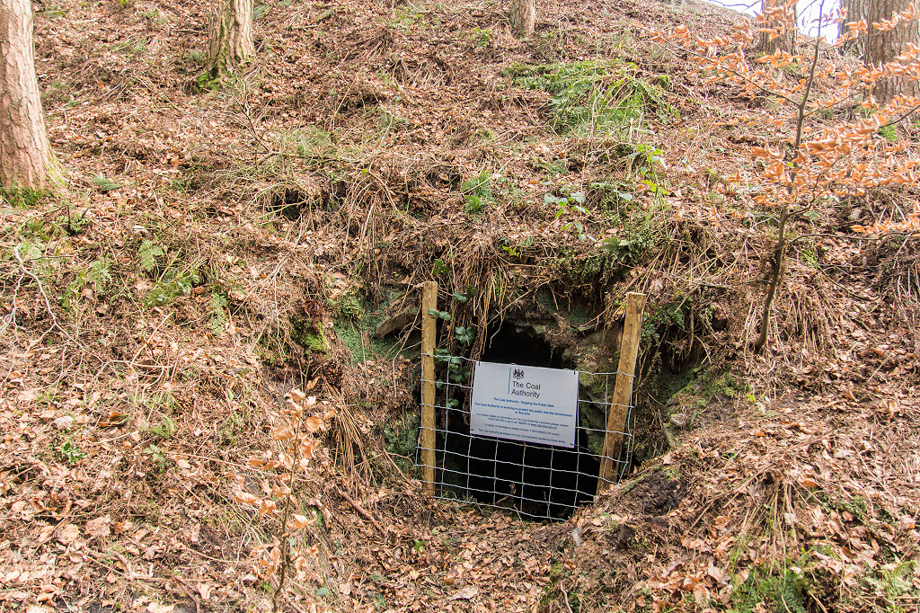
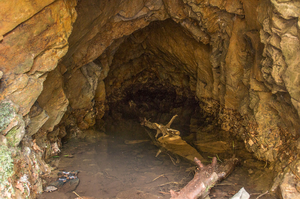
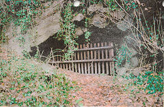
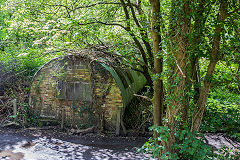
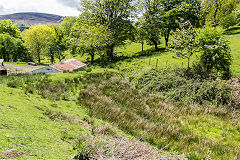
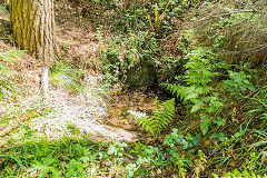
Green's Level - ST 2321 9168
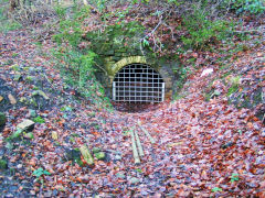
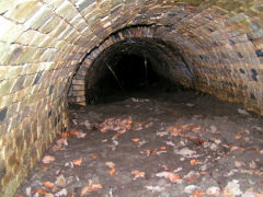
Likely to have opened around 1875, a clay level and engine house were here by 1901, reached by a lifting, swing or removable bridge over the canal next to Greenmeadow bridge. It served both the Cwm-byr and Darren brickworks via a tramway on the canal towpath. Henry Green was the agent for Blackvein Colliery. Not shown on the 1920 OS map but reportedly closed around 1929. The bricked-up entrance and levels behind it remain beside the Greenmeadow bridge. Above it is what appears to be a collapsed level which may have been part of the 1808 Twynbarlwm Colliery
Greens Level stonework
|
Greens Level interior
|

Greens Level interior
|
Greens Level interior
|
Greens Level entrance
|
Greens Level entrance
|
|
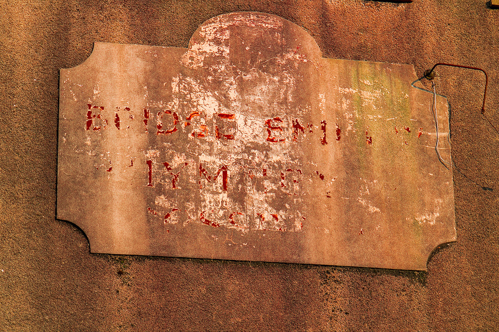
Original canal sign
|
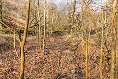
Collapsed level
|
Collapsed level
|
Collapsed level
|
|
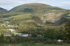
The Darren Valley
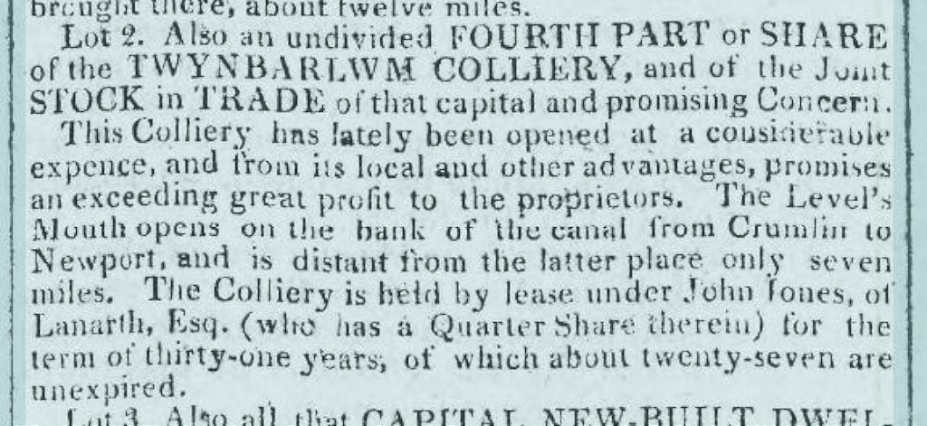
Twynbarlwm Colliery - ST 2320 9170
Twynbarlwm Colliery is recorded in documents from 1808 to 1818.
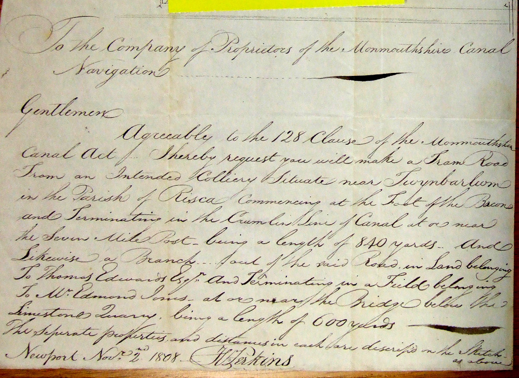
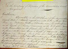
1808
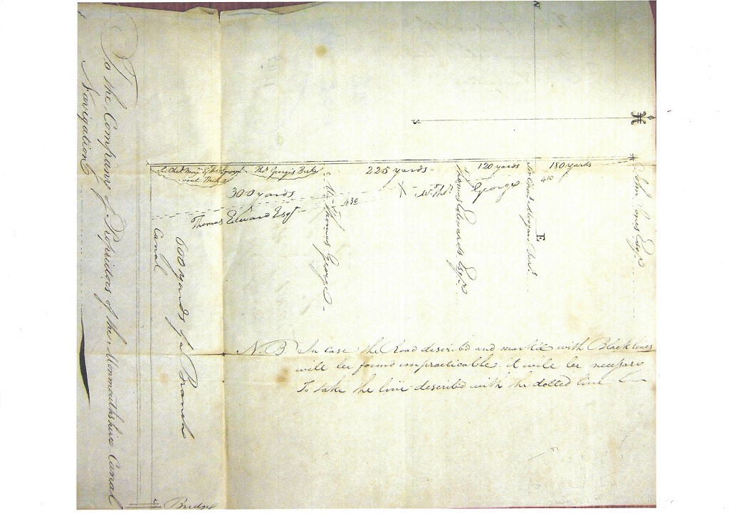
A letter dated November 2nd 1808 requests the Monmouthshire Canal Co to build a tramroad and branches to a proposed colliery near 'Twynbarlwm'. The two branches of 840 yards and 600 yards were to start 'at or near the seven milepost' which was just above Darren bridge. Unfortunately the sketch is rudimentary and the start of the tramroad was probably at Greenmeadow bridge. From either bridge 840 yards will take a tramroad to the lane leading to Darren Farm which is further than any of the known collieries in the valley. The letter reads
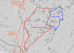
"Agreeably to the 128 clause in the Monmouthshire Canal Act, I hereby request that you will make a tram road from a proposed colliery situate near Twynbarlwm in the parish of Risca commencing at the foot of the beacon ?? and terminating in the Crumlin line of canal at or near the Seven Mile post being a length of 840 yards. And likewise a branch out of the said road in land belonging to Thomas Edwards Esq and terminating in a field belonging to W Edmund Jones at or near the bridge below the limestone quarry being a length of 600 yards. The separate properties and distances in each are described on the sketch as above. Newport Nov 2nd 1808 H Perkins"
1812
The map of 1812 shows a 'Risca Colliery' near Greenmeadow bridge and a tramroad in much the same position as that seen by Archdeacon Coxe, crossing the valley to the Sirhowy Tramroad. With a little imagination 'Darren Colliery' may also be written on it .
1814
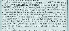
A quarter share of Twynbarlwm Colliery was up for auction in 1814 describing the mouth of the colliery as adjacent to the canal, 7 miles from Newport.
1818
Diocese of Llandaff Records show the following two leases being granted on 3 March 1818 :-
Lease for one year, and thereafter from year to year for not more than four years, of all beds and ...,
1. Thomas Edwards of the town of Pontypool, co. Monmouth, gent.;. 2. John Hodges of the parish of Risca, co. Monmouth, collier. Lease for one year, and thereafter from year to year for not more than four years, of all beds and veins of coal in and under the lands of the lessor near and under Coed y Garn in the parish of Risca now in the occupation of Philip Cocker, through which a level is driven by the Twm Barlwm (?) Company. The rent is one shilling for each ton of coal raised, each ton to contain 24 hundredweights.
Lease for fourteen years of the beds and veins of fire brick clay under all the lands of the lessor ...,
1. Thomas Edwards of the town of Pontypool, co. Monmouth, gent.;. 2. John Hodges of the parish of Risca, co. Monmouth, collier. Lease for fourteen years of the beds and veins of fire brick clay under all the lands of the lessor near and under Coed y Garn in the parish of Risca, now in the occupation of Philip Cocker; also sufficient coal to manufacture the same into bricks; except a certain level opened by the Twm Barlwm (?) Company. The rent is five shillings for each thousand bricks thus made; also one shilling a ton for the coal used for burning the bricks, and one shilling and threepence a ton for fire brick clay and clay flour
1822
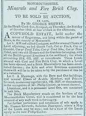
An auction on 31 October 1822 offered a 'Brick Manufactory' adjacent to the canal and associated coal and clay levels for sale. These are in the possession of Philip Cocker, as mentioned in the 1818 leases, but no mention of the Twynbarlym Colliery.
The 1808 tramroad proposal
|
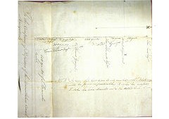
1808 tramroad plan
|
'Risca Colliery' 1812
|
1814 auction advertisement
|
1818 - Lease for one year, and thereafter from year to year for not more than four years, of all beds and veins of coal in and under the lands of the lessor near and under Coed y Garn in the parish of Risca now in the occupation of Philip Cocker, through which a level is driven by the TwynBarlwm Company. The rent is one shilling for each ton of coal raised, each ton to contain 24 hundredweights.
|
1818 - Lease for fourteen years of the beds and veins of fire brick clay under all the lands of the lessor near and under Coed y Garn in the parish of Risca, now in the occupation of Philip Cocker; also sufficient coal to manufacture the same into bricks; except a certain level opened by the Twynbarlwm Company. The rent is five shillings for each thousand bricks thus made; also one shilling a ton for the coal used for burning the bricks, and one shilling and threepence a ton for fire brick clay and clay flour.
|
The 1822 auction advertisement
|
1843 Tithe Map, Edwards & Jones land
|
|
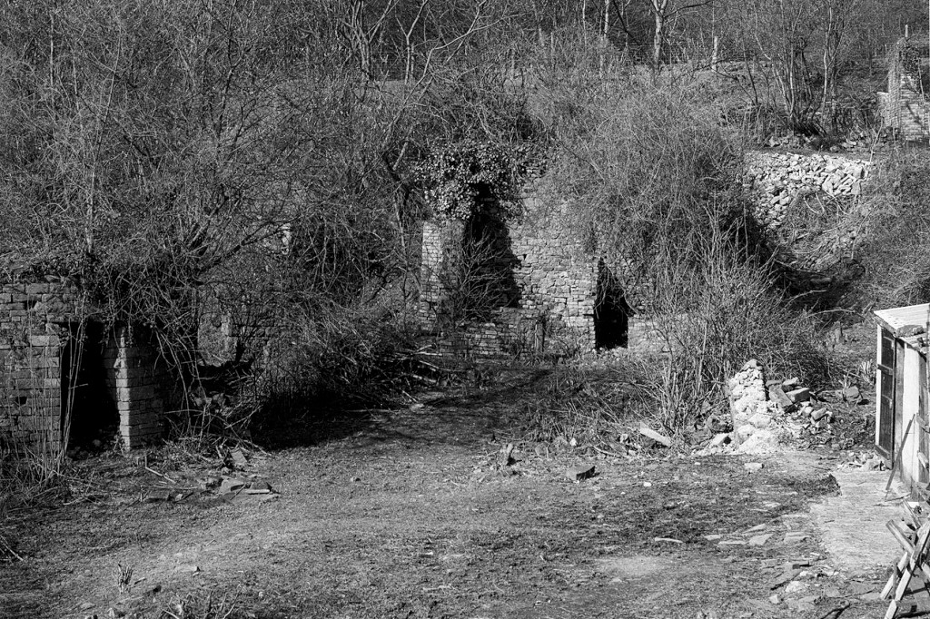
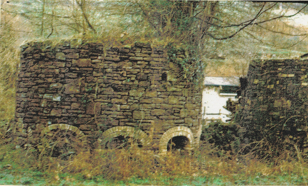
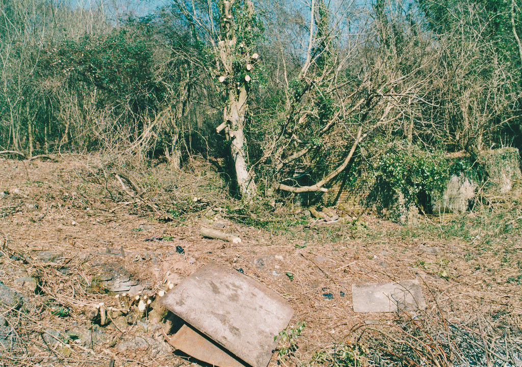
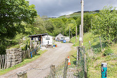
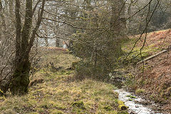
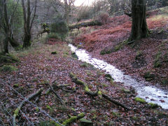
Risca Brickworks - ST 2339 9164
The brickworks site is now a cafe and caravan park but there are many things to see around here if you ask nicely. This was the longest-lasting of the Darren area brickworks, opening around 1810 and closing as late as 1942. The 1843 Tithe map shows it being owned by Joseph Nicholas and Jarvis Johnson. It was managed by G Nicholas in 1878 and by A Johnson in 1884. Nicholas and Johnson also owned Rudry Brickworks and Colliery. By 1893 it was owned by Jane and James Jones until 1908, after which it became part of the 'Star Brick' empire.
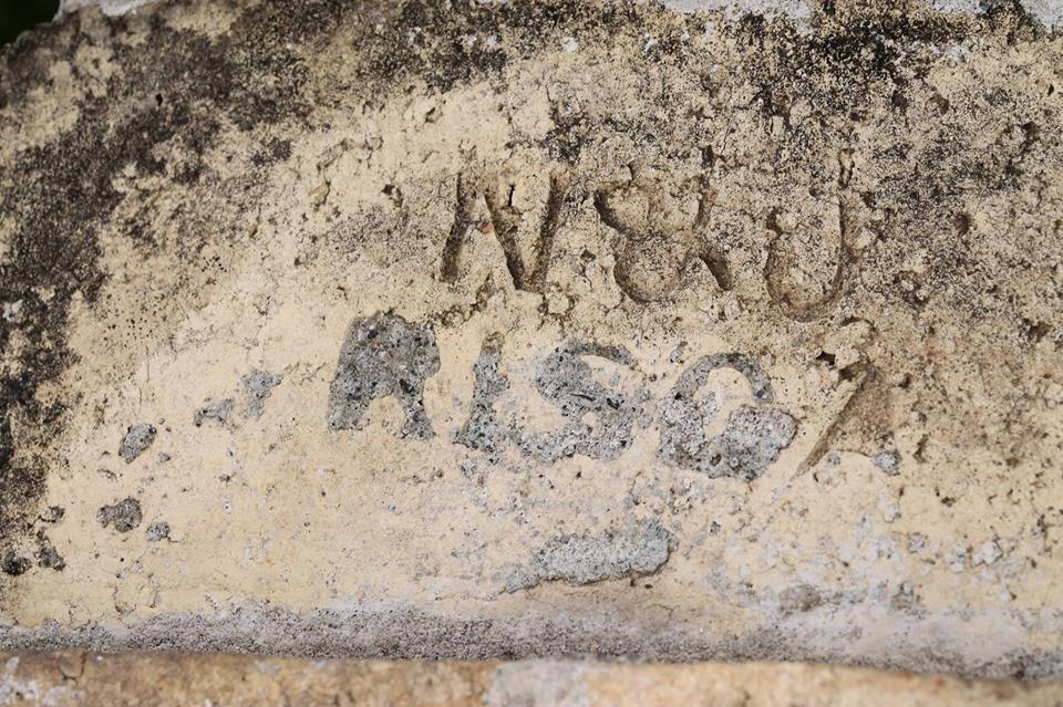
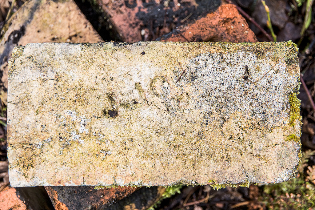
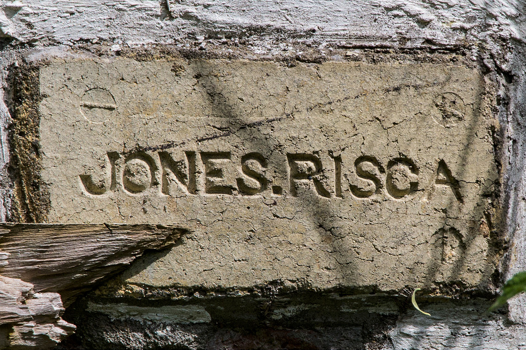
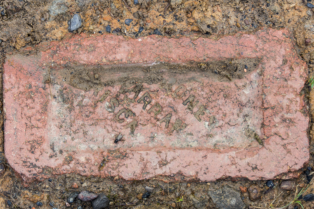
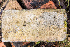
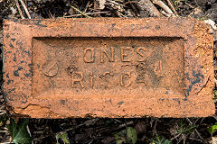
There's a good range of different imprints used by the Risca and Darren Brickworks, particularly under the Jones ownership. Those I know about are 'N&J Risca' (Nicholas and Johnson), 'J Jones Risca' (either Jane or James Jones), 'Jones.Risca' or 'Jones Risca', 'Jones Darran Risca' and 'Jones Darran No 1 Risca'.
There is more information on the
Brickworks of Wales website.
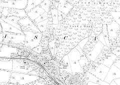
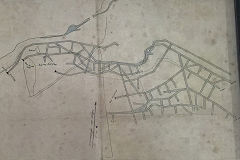
The Darren Valley in 1880
|
The Darren Valley in 1899
|

The Darren Valley in 1920
|
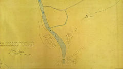
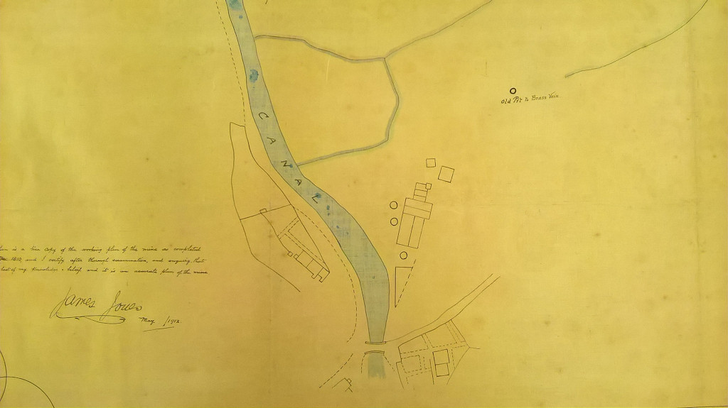
Risca Brickworks plan, 1912
|
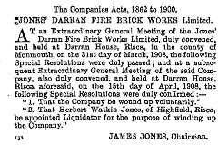
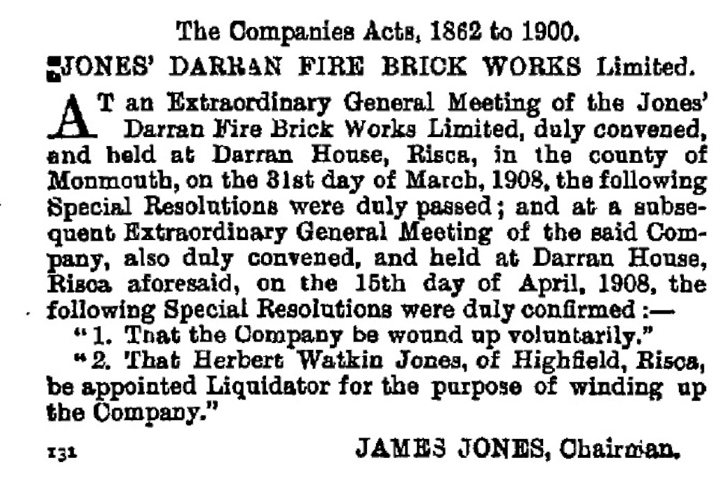
Jones Darren Fire Brick Works Ltd
|
Darren Brickworks Co
|
|
|

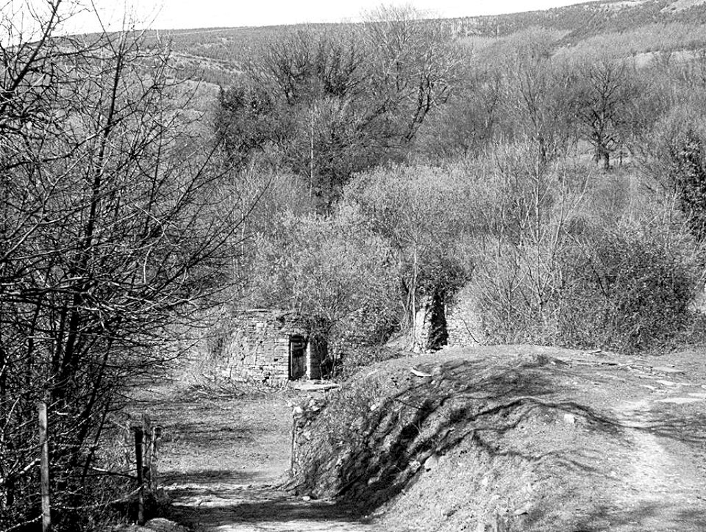
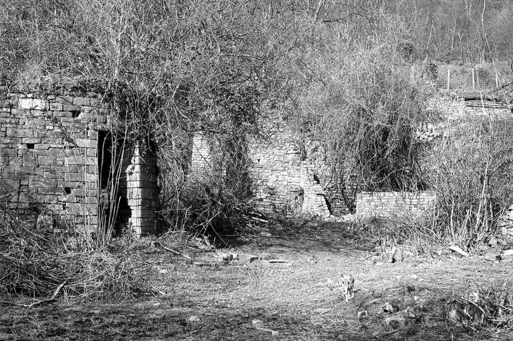
Risca Brickworks in decay
|
Risca Brickworks in decay
|
Risca Brickworks in decay
|
Risca Brickworks in decay
|
Risca Brickworks kiln, c2000
|

Risca Brickworks ruins, c2000
|
Risca Brickworks ruins, c2000
|
Risca Brickworks ruins, c2000
|
The Darren Valley from the West
|
|
Risca Brickworks
|

Risca Brickworks
|

Risca Brickworks reservoir
|
Leat to brickworks waterwheel
|
Leat to brickworks waterwheel
|
|

'N&J Risca'
|
'J Jones Risca'
|
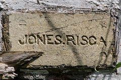
'Jones.Risca', type 1
|
'Jones Risca', type 2
|
'Jones Darran Risca', type 1
|
'Jones Darran Risca', type 2
|
'Jones Darran No 1 Risca', type 1
|
'Jones Darran No 1 Risca', type 2
|
Darren Colliery and other coal workings
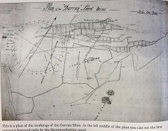
Darren Colliery (or Darran Colliery) - ST 2343 9177
Quite what comprised Darren Colliery is difficult to determine, there were at least 7 numbered levels and probably a few more besides, some were coal, some fireclay, some both. No 3 level was abandoned in 1904, No 5 in 1910 and No 6 on 1903. No 7 was either Greens Level itself or one very close to it.
'Darran Colliery' is first mentioned in 1851 as 'Darun Level' when Thomas Lewis went bankrupt. He was in partnership with David Parry, Isaac Cooper and Samuel Jenkins at one time or another and also had interests in Cwm Cae Gwyn Colliery, Cwmdows, Newbridge.
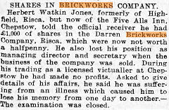
Francis Jones, owner of the Darran Brickworks, is reported as owning it from 1875 and then Jane Jones from 1880 to 1896. Certainly James Jones was the manager from 1880 to at least 1898. Jane Jones acquired the Risca brickworks and its levels in c1893 from Nicholas and Johnson. The Jones family of James, Frank, Herbert, Margaretta and Tom formed the 'Jones Darran Firebrick Works Ltd' in 1896 before going into liquidation in 1908. The company was acquired by the Star Brick and Tile Co Ltd and the colliery operations were abandoned in 1929. W O Padfield and Whatley worked one of the Darren levels from 1936 to 1941 when they were finally abandoned.
The undated lease refers to 'Mr Lewis George' (or more likely George Lewis, occupier of Darren Farm in 1847) and the tramway is inscribed ' Level and tramway in lease to Mr Lewis George in common with other tenants' and then 'Tramway and ???? in lease to Mr Lewis George'. At the top 'No 2 vein' and No 3 vein' are marked with the 'Fire brick manufactory' at the bottom.
Darren Lease, unknown date
|
Darren Lease, unknown date
|
Detail from the Darren Lease
|
Darren underground workings
|
Darren underground workings
|
Darren underground workings
|
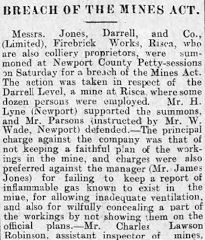
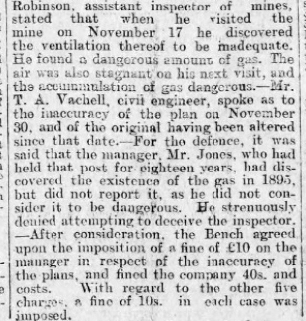
Darren Level prosecution, 1898
|
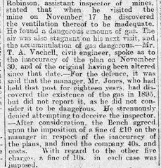
Darren Level prosecution, 1898
|
Darren Colliery Level 1
|
Darren Colliery Level 1
|
tramway to the upper levels
|
tramway to the upper levels
|
Darren Colliery Level 2
|
Darren Colliery Level 2
|
Darren Colliery Level 2
|
|
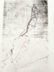
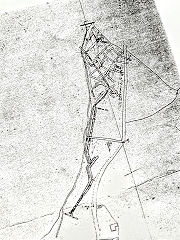
Darren Colliery levels and shafts, c2000
These photos were taken by David Williams in the late 1990s or early 2000s. Unfortunately he didn't add the details or location. I can identify levels 1 and 2 but not the others. They appear to be different levels or just taken at different times. Any help will be appreciated.
Darren Colliery Level 1
|

Darren Colliery Level 1
|
Darren Colliery Level 1
|
Darren Colliery Level 1
|
Darren Colliery Level 1
|
Darren Colliery Level 2
|
Darren Colliery Level 3
|

Darren Colliery Level 3
|
Darren Colliery Level 4
|
Darren Colliery Level 4
|
Darren Colliery Level 5
|
Darren Colliery Level 6
|

Darren Colliery Shaft 1
|
Darren Colliery Shaft 2
|

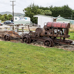
Darren Colliery haulage engine
|

Darren Colliery haulage engine
|
Darren Lane Eastern level - ST 2349 9185
On the right of the lane as you go up but it was old in 1883 so not a lot to see but there does appear to be a ventilation shaft.
Eastern level
|
Eastern level tips
|
Eastern level tramway
|
Eastern level tramway
|
Eastern shaft
|
Eastern shaft
|
Northern levels and Old Mill brickyard - ST 2345 9205
Abraham Brain and Job Price are shown on the 1843 Tithe map as occupying a 'Brick Yard and Waste' on field No 152, owned by Mary George. This was describes as 'Old Mill brickworks' in Abraham Brain's will of 1847 when it passed to his son, William Brain, along with a waterwheel, pond, coal and clay levels and a tramway. In 1883 the area boasted only an old coal level but by 1901 two clay levels had been opened just below, connected by a tramway to Darren Colliery and Brickworks. These had shut by 1920 but the site is still clearly visible.
The Northern levels and brickyard
|
The Northern levels and brickyard
|
The Northern levels and brickyard
|
The Northern levels and brickyard
|
Small reservoir or pond
|
Small reservoir or pond
|
Top level - ST 2348 9216
Also an old coal level by 1883, just the usual dent in the ground, with the visible course of a tramway running down to the middle levels but not later re-worked it seems.
Top coal level tramway
|
Top coal level tramway
|
Top coal level tramway
|
Top coal level tramway
|
Top coal level
|
Top coal level
|
Coed-y-Darren and Ysgubor Newydd
Darren Farm
Darren Farm
|
Darren Farm
|
Darren Farm
|
Darren Farm
|
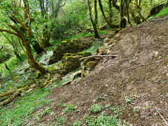
Coed-y-Darren levels - ST 2377 9200
There are a whole string of small levels in the Coed-y-Darren woods. The first one is more of a scratch than a level but someone's been digging at ST 2366 9201.
There seem to be at least seven small levels as the track and path wind their way to the top of the gully. The first five levels and tips run, one above the other, up the hillside to the right of the track, with some stone retaining walls visible. In front of level 4 there are the foundations of a small stone building that could have been a magazine.
Following the footpath uphill after the track turns right, there are another two or more levels to the right of the cliff, which appears to have been quarried. The top level 7 seems to be a drainage level, monitored by the Coal Board, but is very close to the surface. None of these are shown on any OS map.
Trial level on entrance lane
|
Trial level on entrance lane
|
|
|
Coed-y-Darren level 1
|
Coed-y-Darren level 1
|
Coed-y-Darren level 2
|

Coed-y-Darren level 2
|
Coed-y-Darren level 3
|
Possibly a magazine's foundations
|
Possibly a magazine's foundations
|
|
Coed-y-Darren level 4
|

Coed-y-Darren level 4
|
Stonework, possibly recent
|
Water tank between levels 4 and 5
|
Coed-y-Darren level 5
|
Coed-y-Darren level 5
|
Coed-y-Darren level 5
|
|
Coed-y-Darren level 6
|

Coed-y-Darren level 6
|
|
|
Coed-y-Darren level 7
|
Coed-y-Darren level 7
|
Coed-y-Darren level 7
|
|
Coed-y-Darren level 7
|
Coed-y-Darren level 7
|
|
|
Ysgubor Newydd - ST 2430 9198
Ysgubor Newydd means New Barn and it's on the 1880 OS map so where was the old one? The limekilns and small quarry below it at ST 2426 9179 are shown as old on the same map.

Ysgubor Newydd barns
|
Ysgubor Newydd barns
|
Ysgubor Newydd barns
|

Ysgubor Newydd barns
|
Ysgubor Newydd limekiln
|
Ysgubor Newydd limekiln
|
Ysgubor Newydd limekiln
|

Ysgubor Newydd limekiln quarry
|
Acknowledgments, sources and further reading
Thanks for the use of their photographs and information to :-
Risca Industrial History Museum, Dave Bryant, Stewart Campbell, Jim Coomer, Stan Edwards, David Gaylard, Malcolm Johnson, Tony Jukes, Bryan Morgan, Bernard Osment, Oxford House Industrial History Society, Rob Southall, Jim Sparks, Maggie Thomas, Glynn Tucker, John Venn.
'Man of the Valleys' by Mary Paget, Alan Sutton Publishing Ltd, 1985
'Risca - Its Industrial and Social Development' by Alan Victor Jone, 'New Hoizon' publishing, 1980
'Archive' magazine, issue 73 - 'Who was 'Iron-bottom' Rogers?' by Malcolm Johnson.