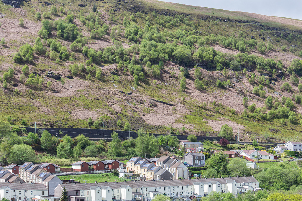
Industrial Wales - Monmouthshire's Rhymney Valley
The Northern Rhymney Valley
From Aberbargoed to Blaen Rhymney and the Darran Valley.
Search the site here
|
|
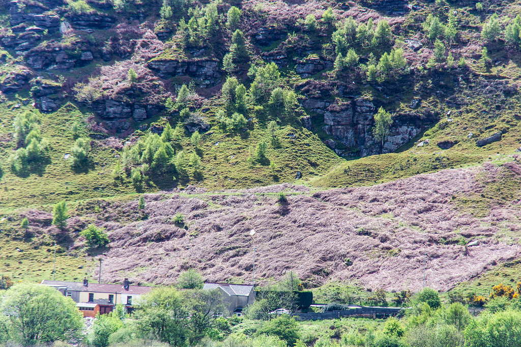
Industrial Wales - Monmouthshire's Rhymney Valley
The Northern Rhymney Valley
From Aberbargoed to Blaen Rhymney and the Darran Valley.
|
Search the site here
|
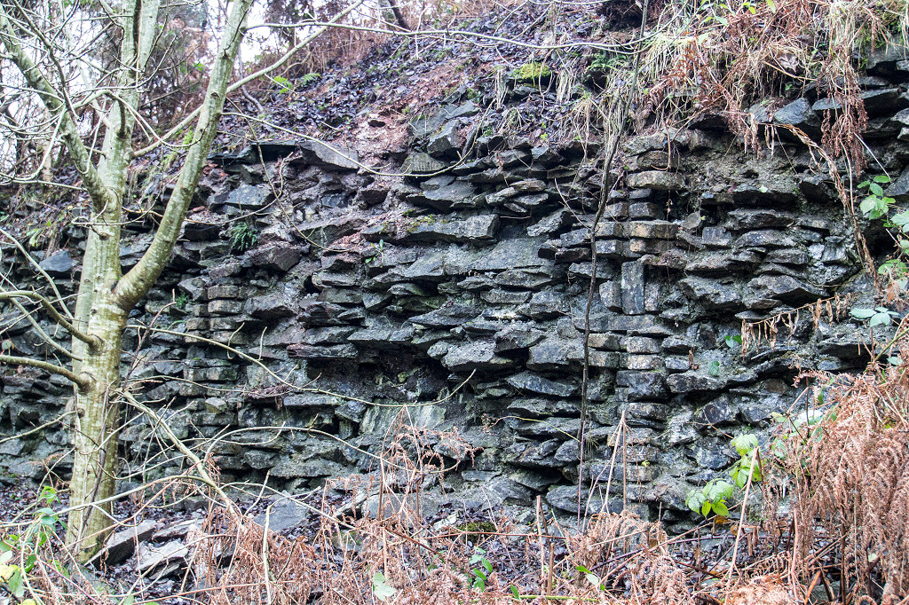
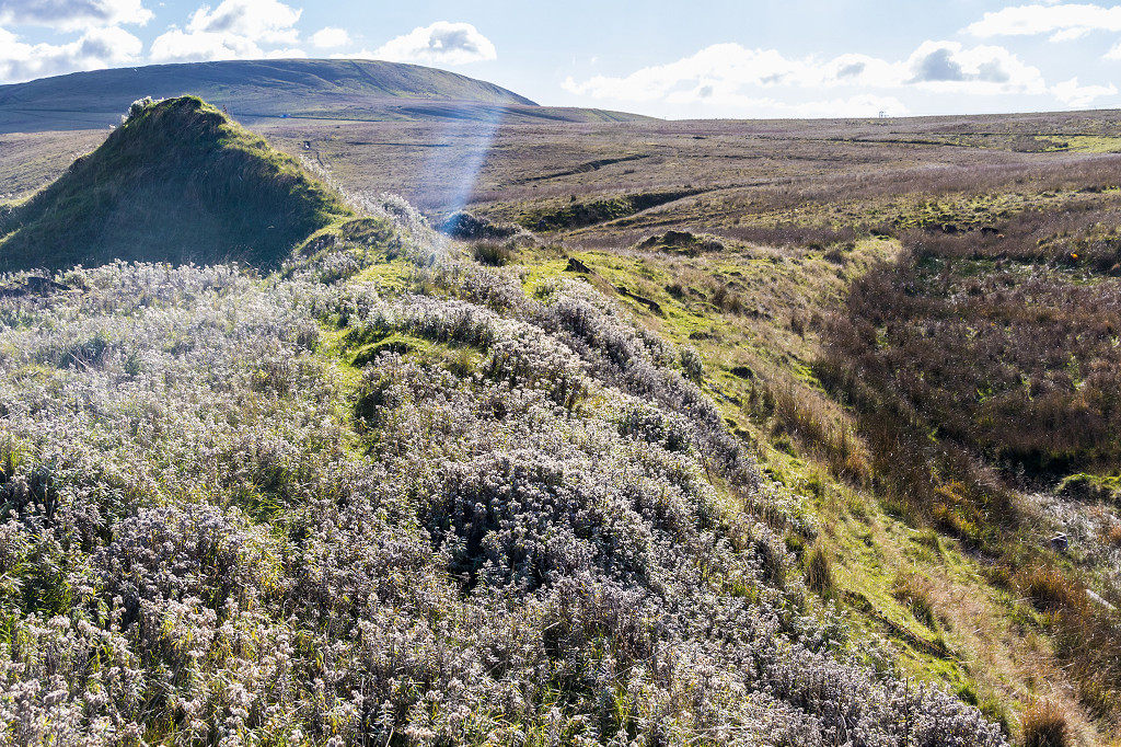
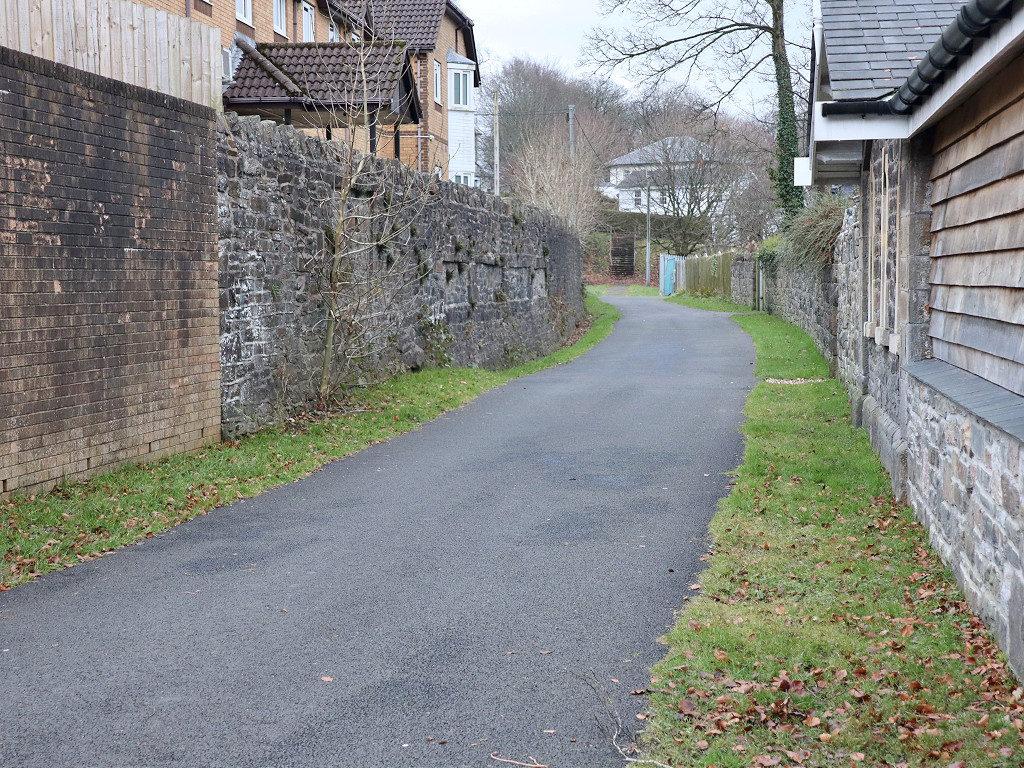
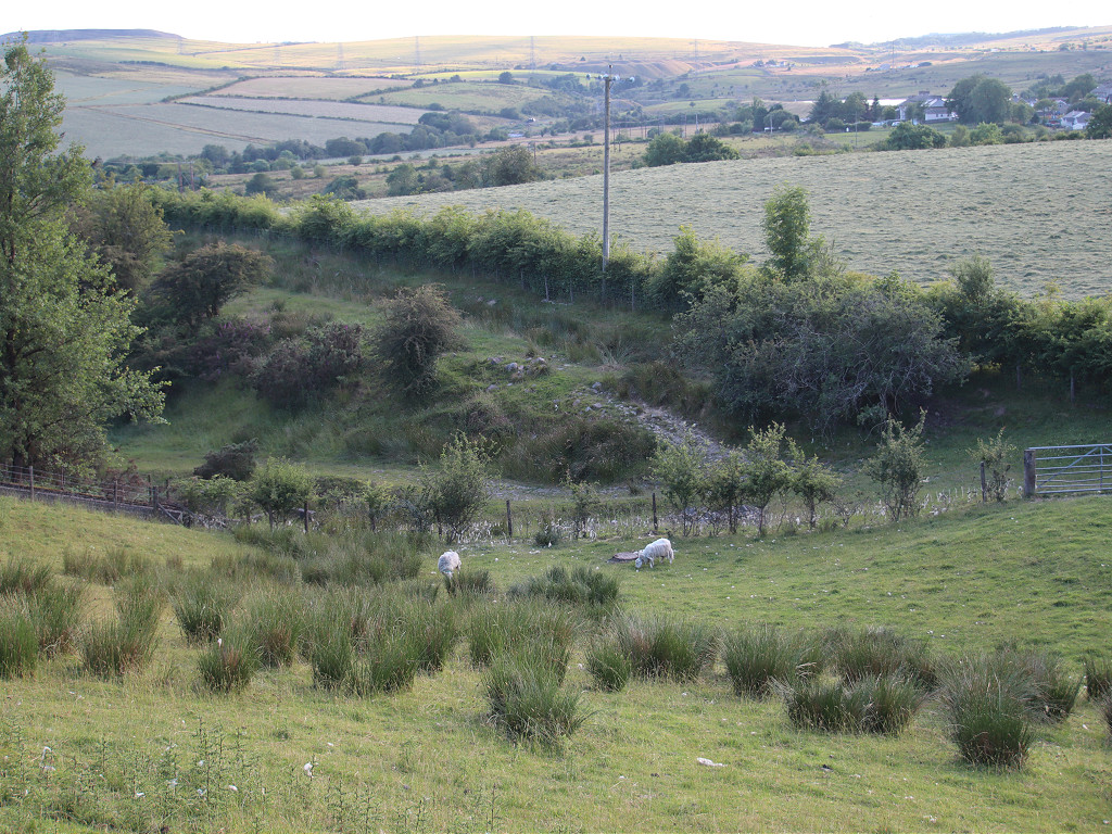
 BMR Woollen Mill footbridge |
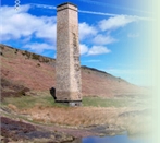
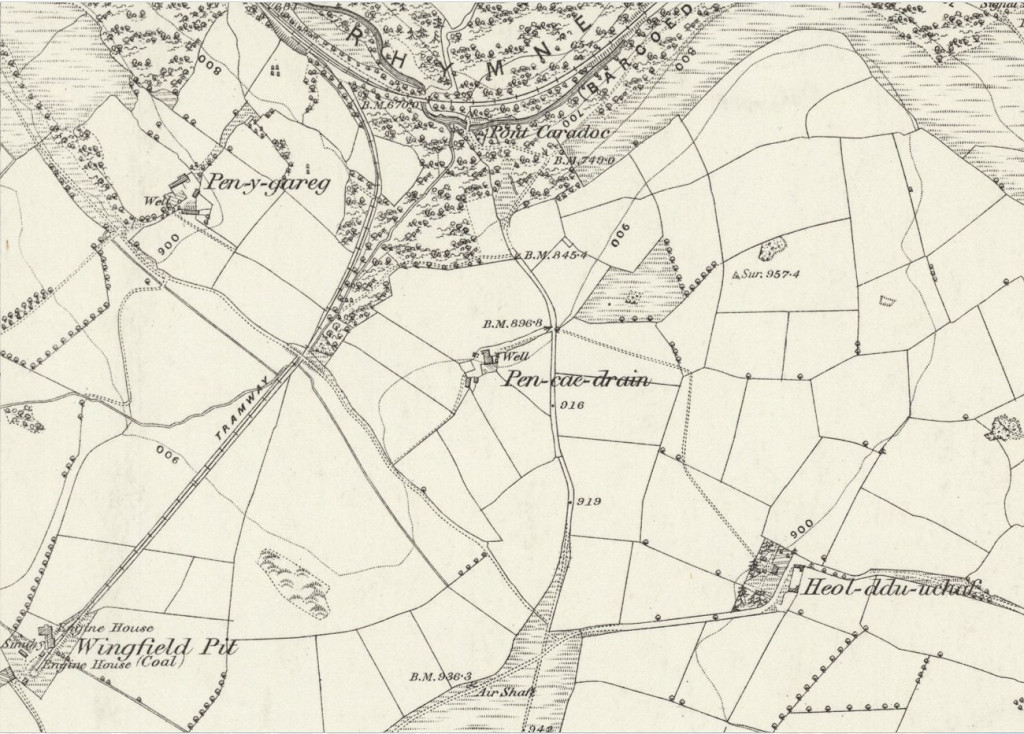
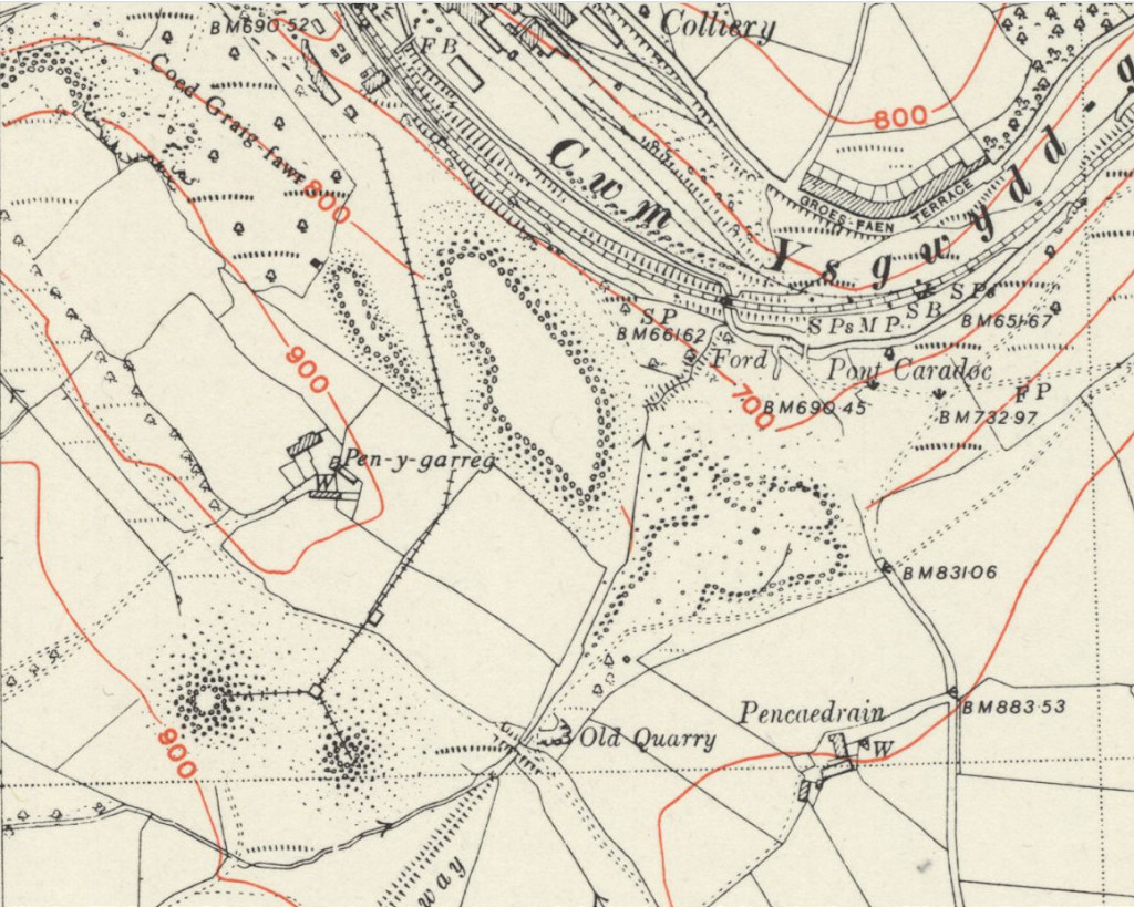
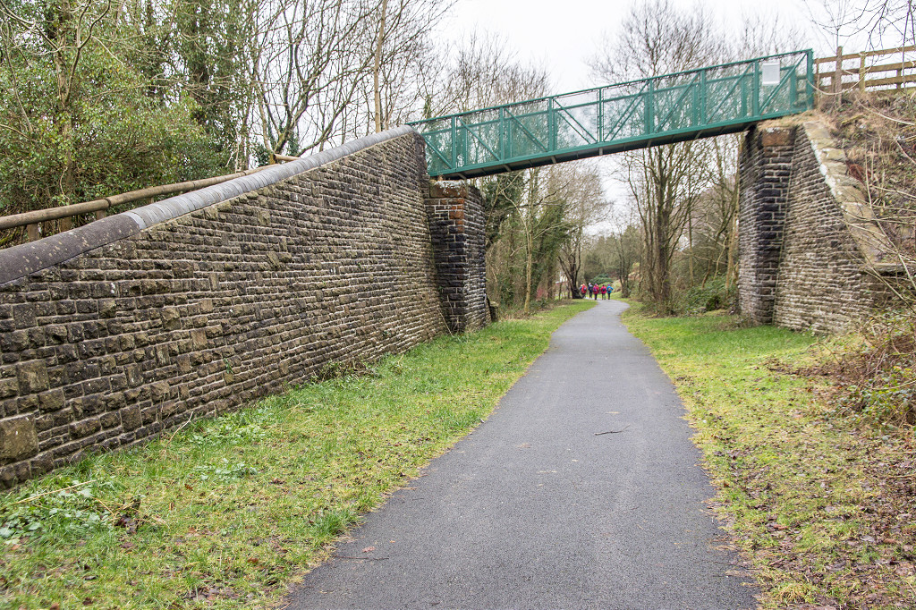
 BMR Pont Caradoc |
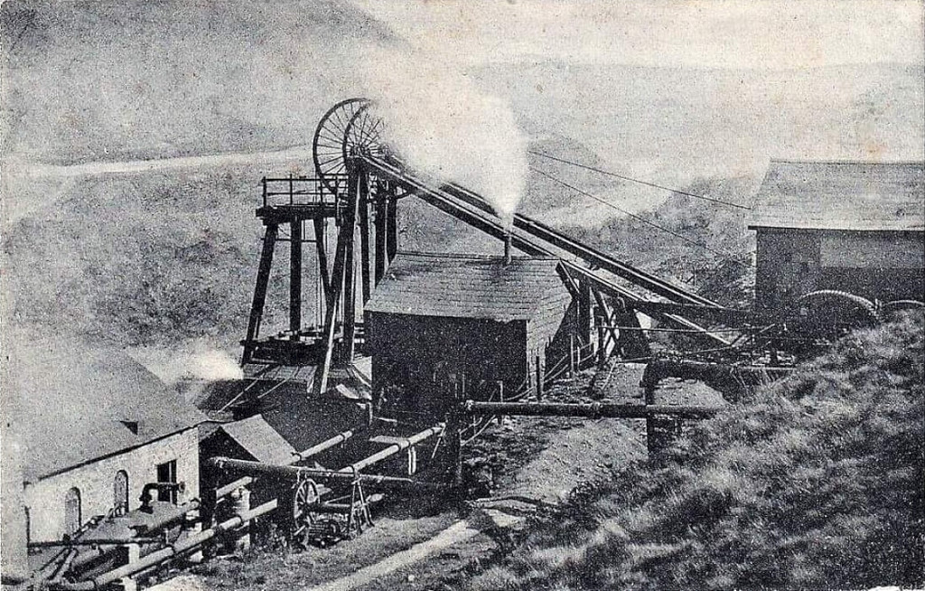
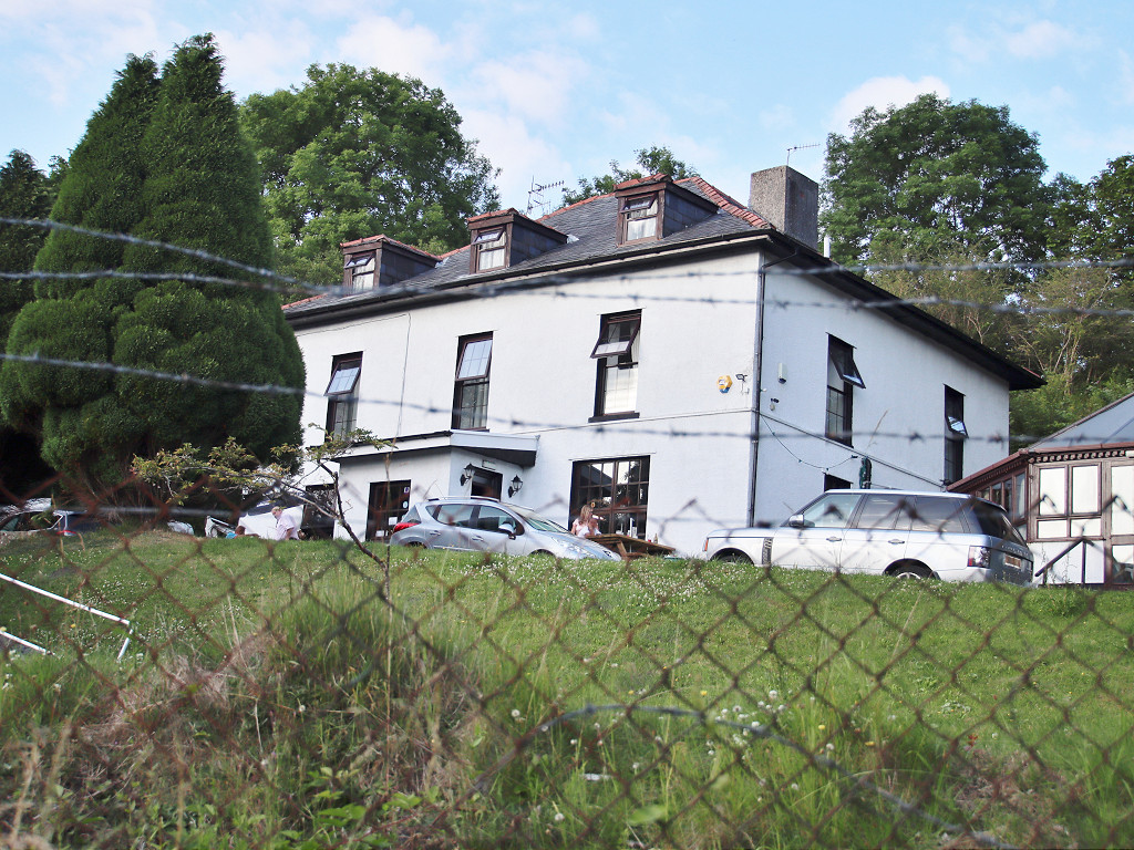
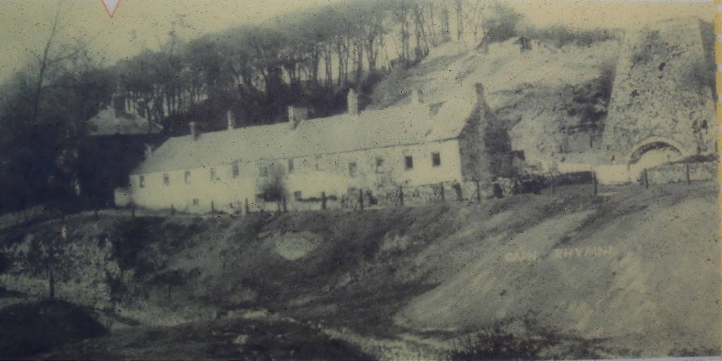
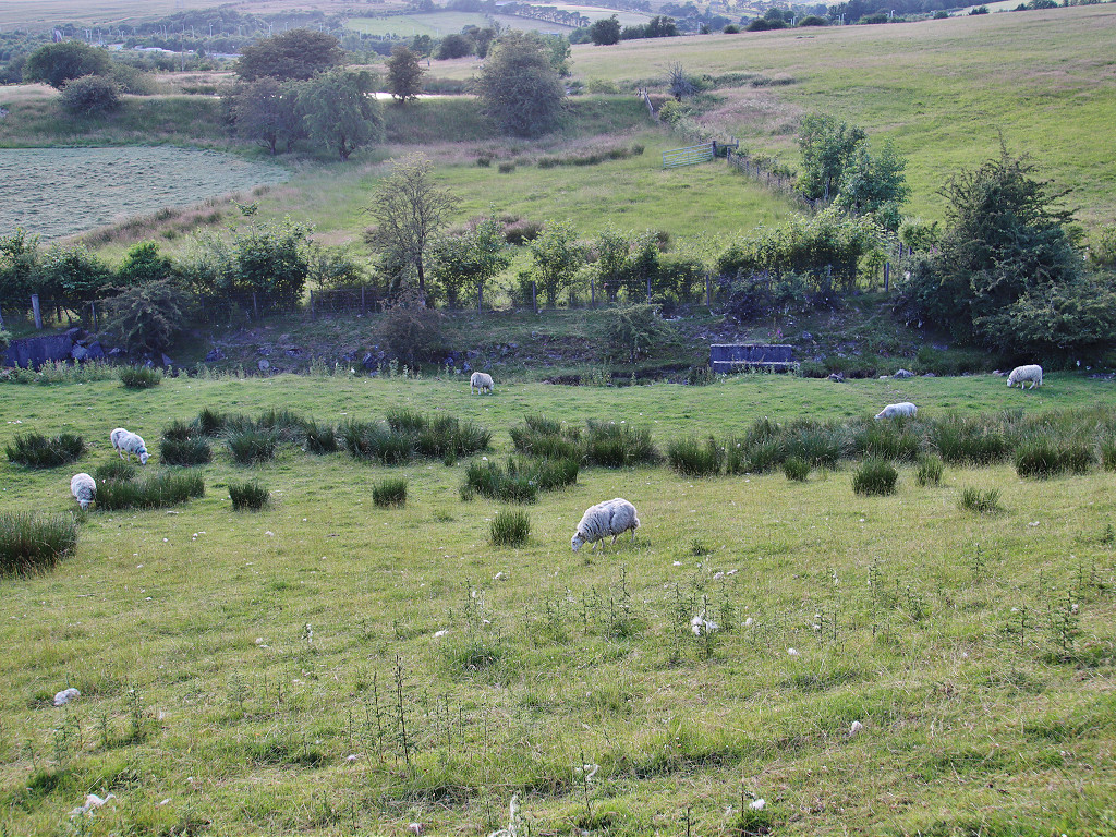
 South Wingfield Colliery, 1868 |
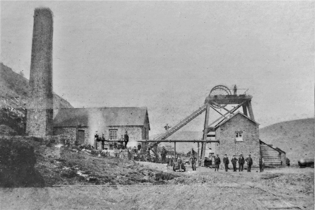
 South Wingfield Colliery, 1915 |
 South Wingfield Colliery, 1948 |
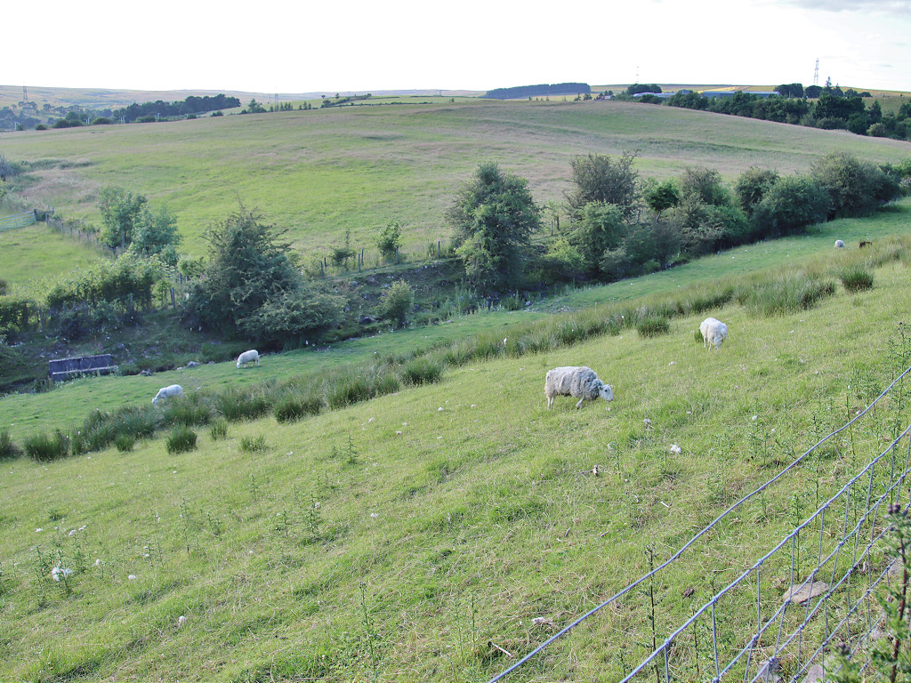
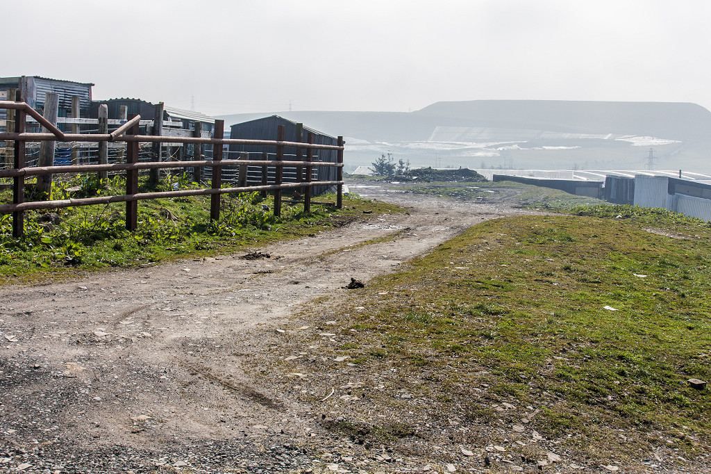
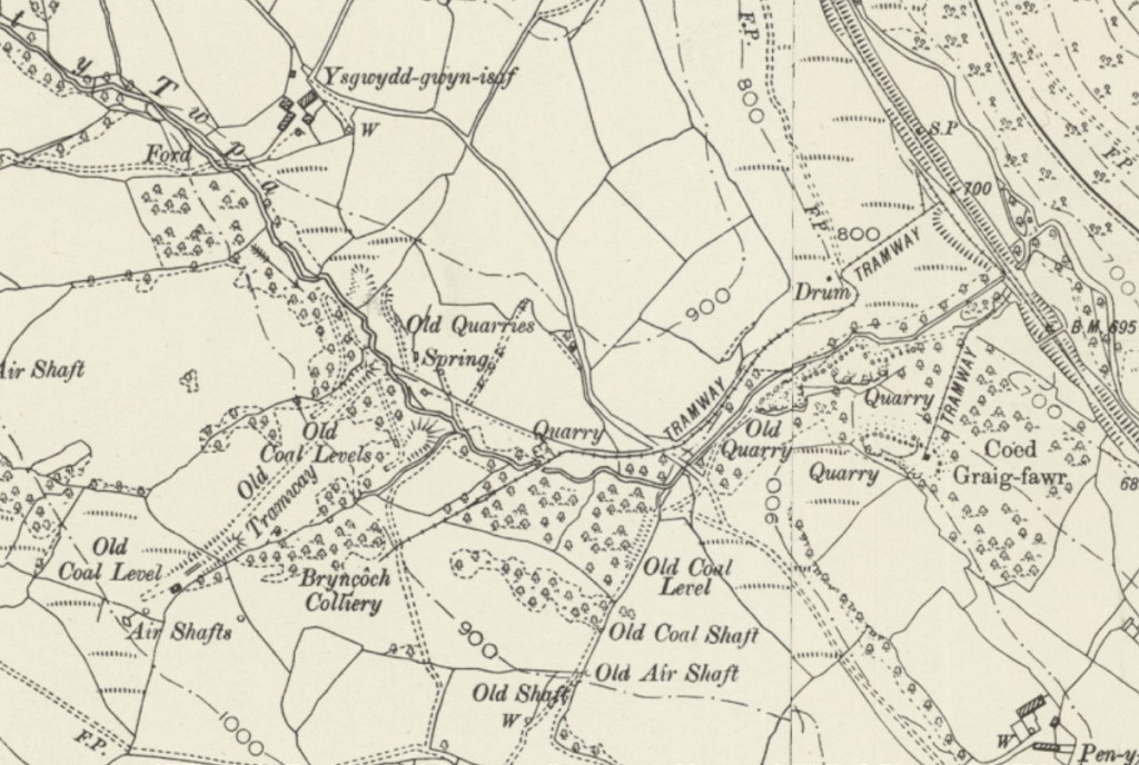 Bryncoch Colliery, 1898 |
 Wingfield Colliery sidings |
 Wingfield Colliery sidings |
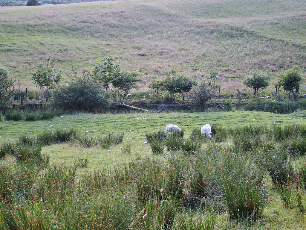
 Wingfield Colliery sidings |
 Wingfield Colliery sidings |
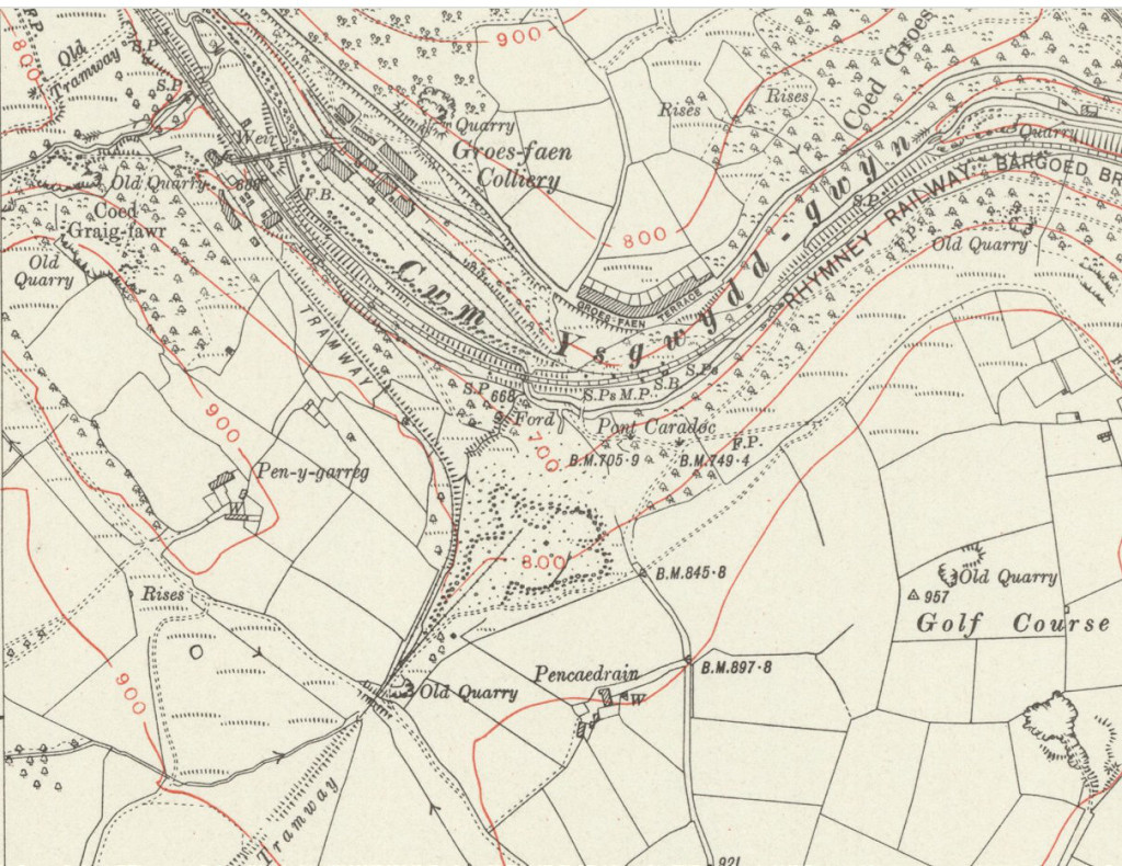
 Groes-faen aerial ropeway |
 Groes-faen aerial ropeway |
 Groes-faen aerial ropeway |
|
 Groes-faen Colliery platform |
 Groes-faen Colliery platform |
 Groes-faen Colliery platform |
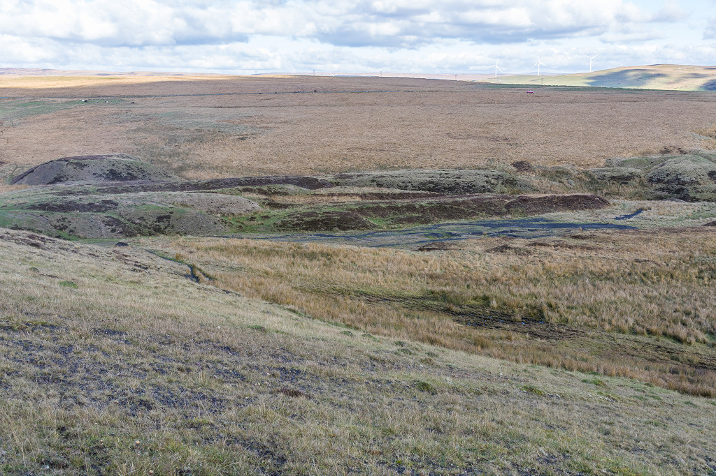
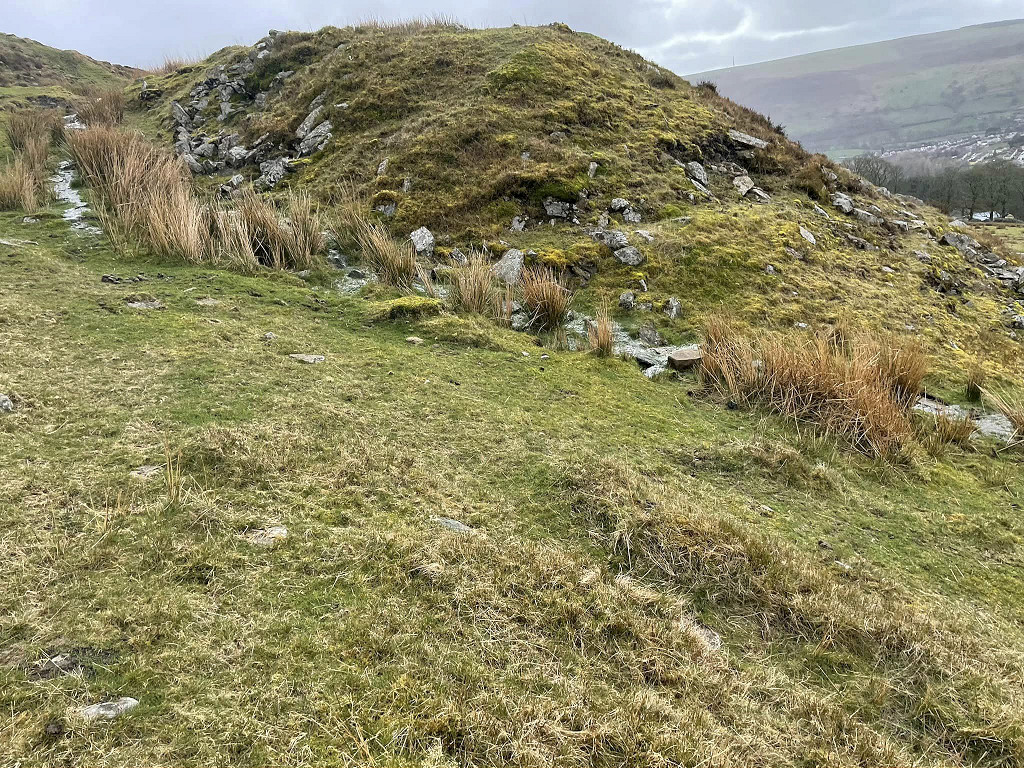
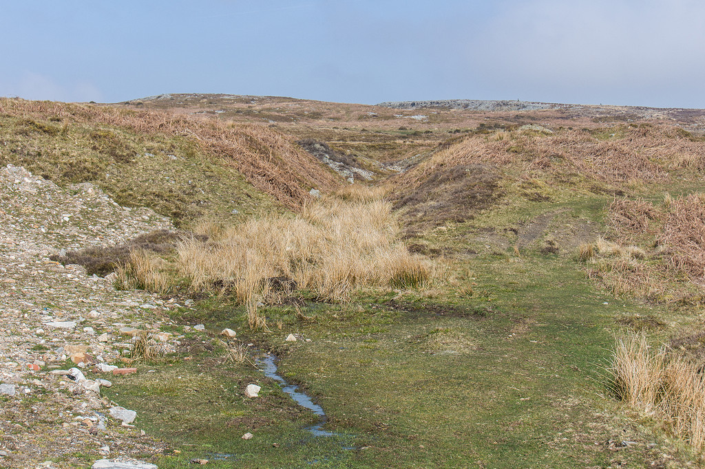
 Groes-faen Colliery tips |
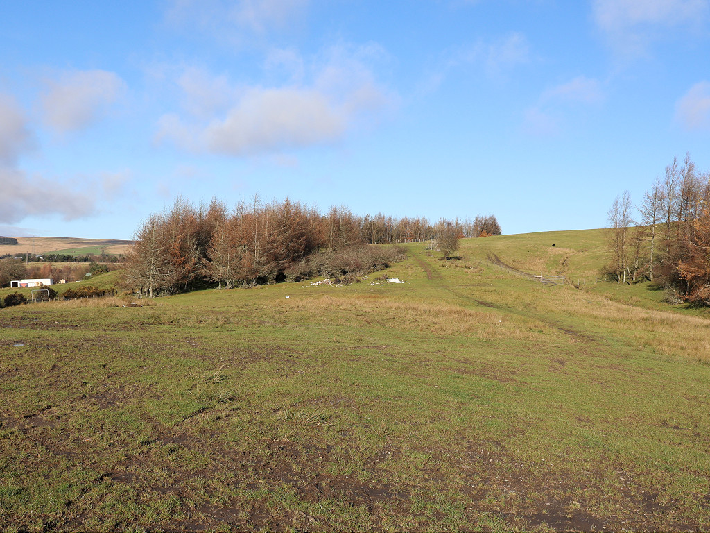
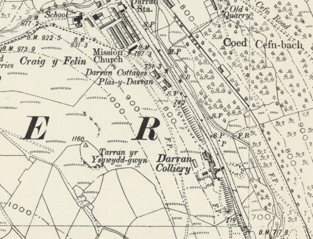 Darran Colliery in 1898 |
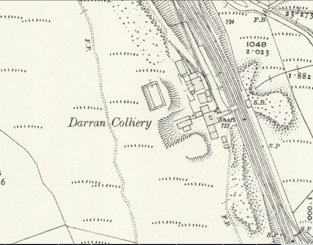 Darran Colliery in 1915 |
 Darran Colliery, c1900 |
|
 Darran Colliery disaster, 1909 |
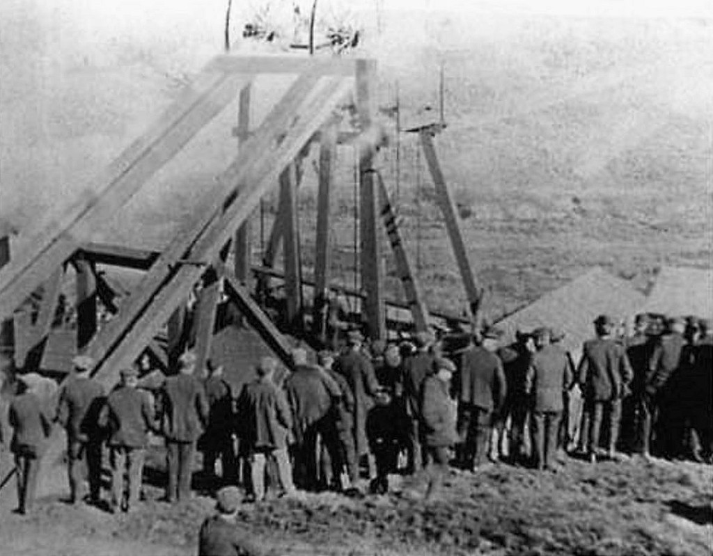 Darran Colliery disaster, 1909 |
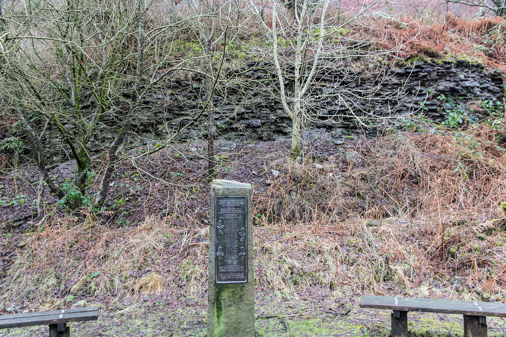 Darran Colliery disaster memorial |
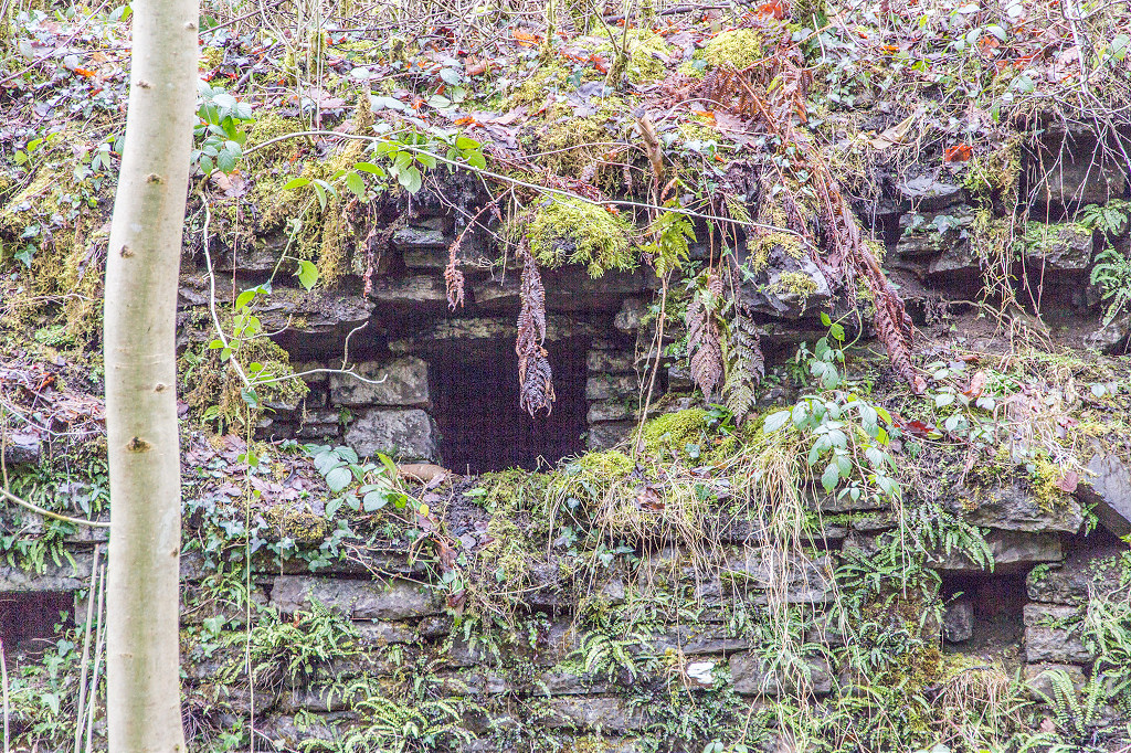
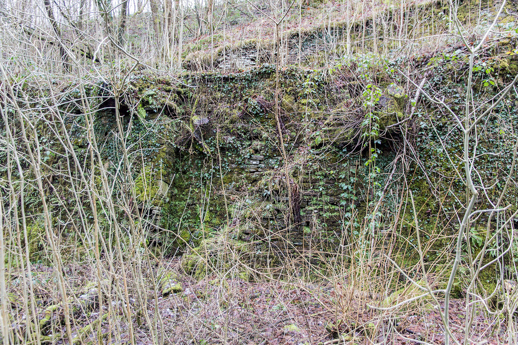
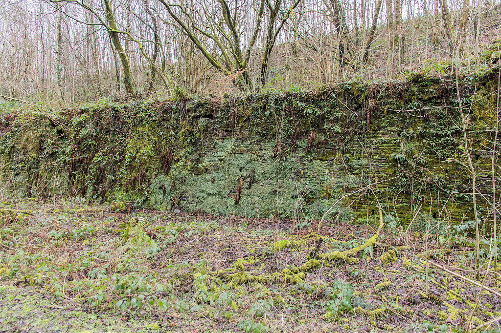
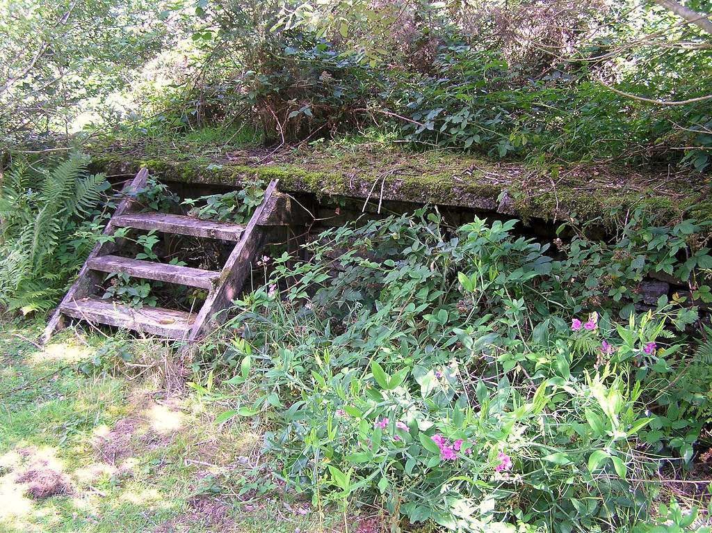
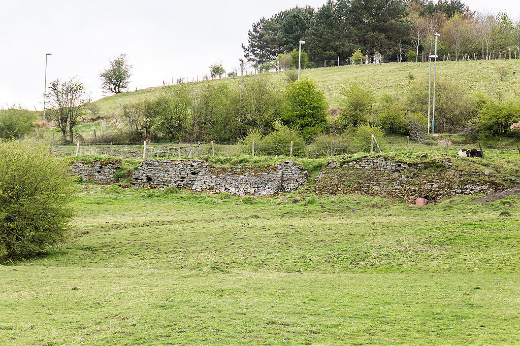
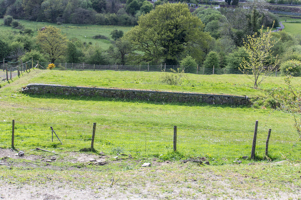
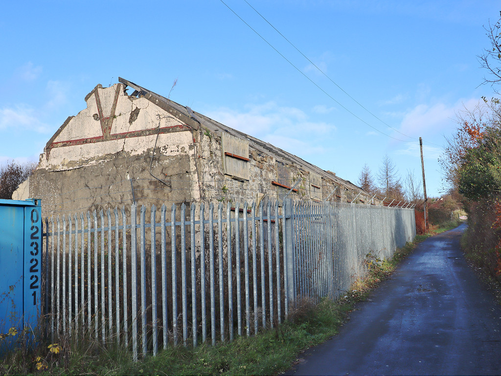
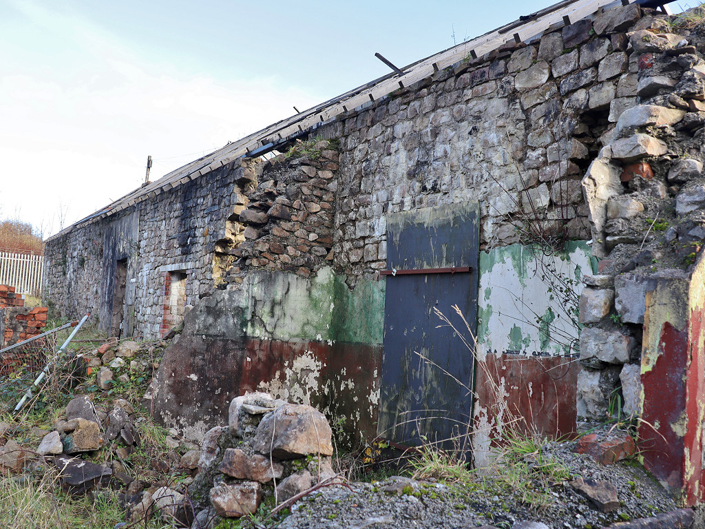
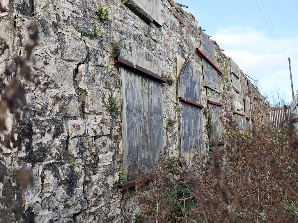
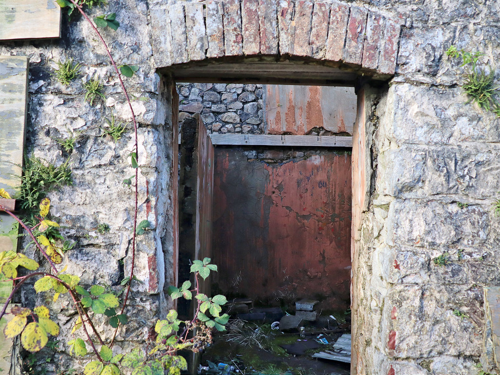
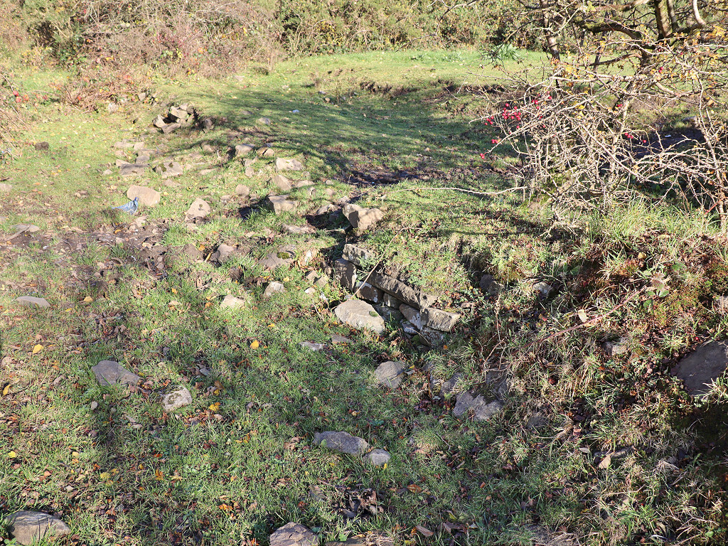
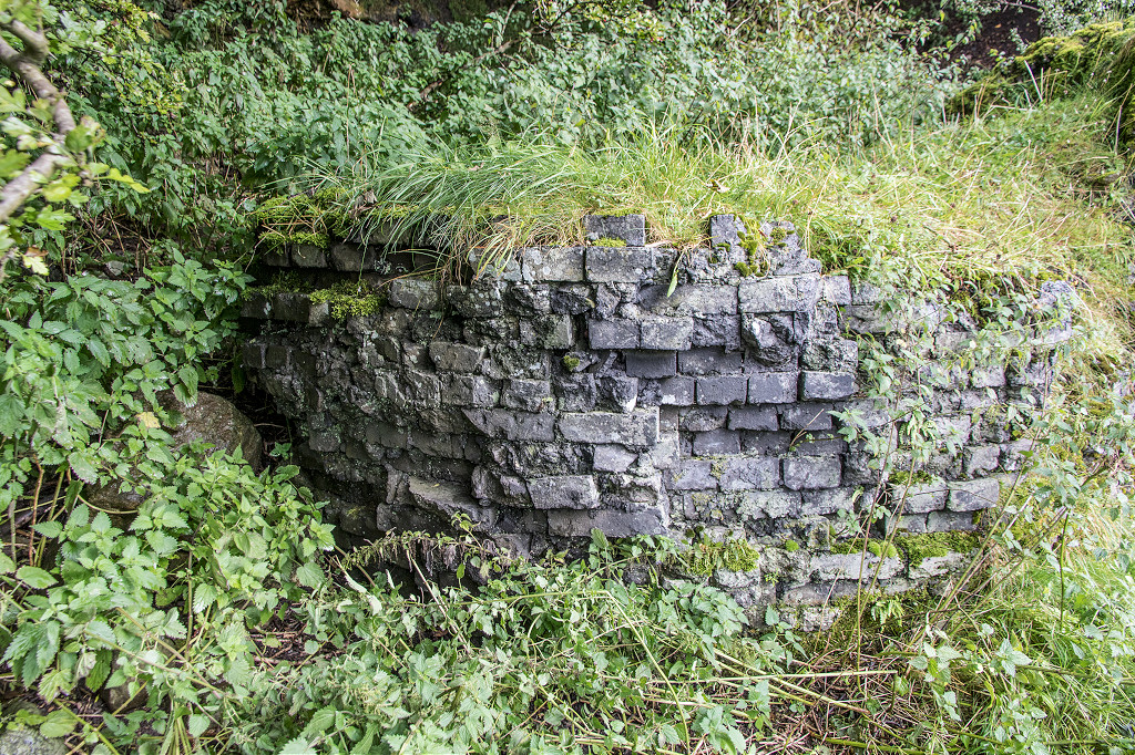
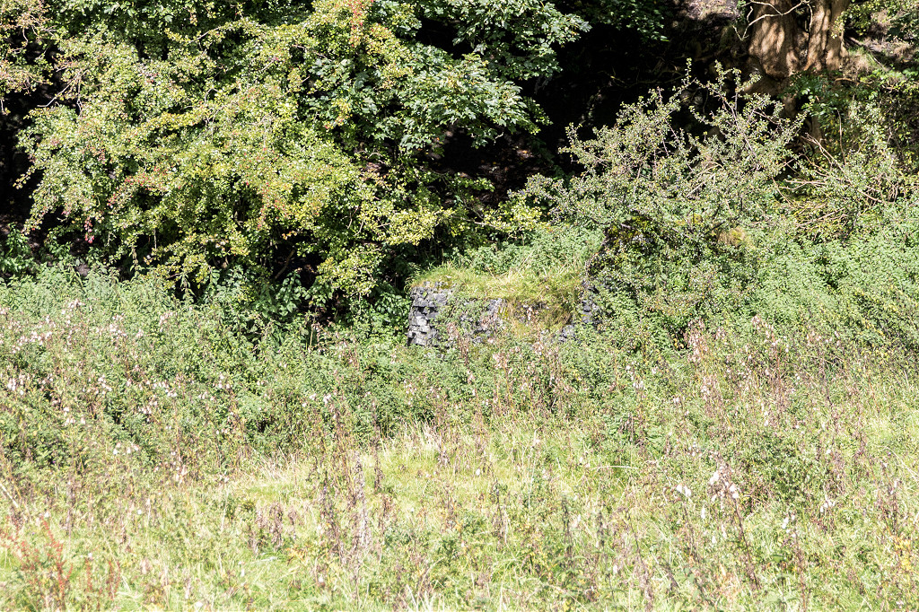
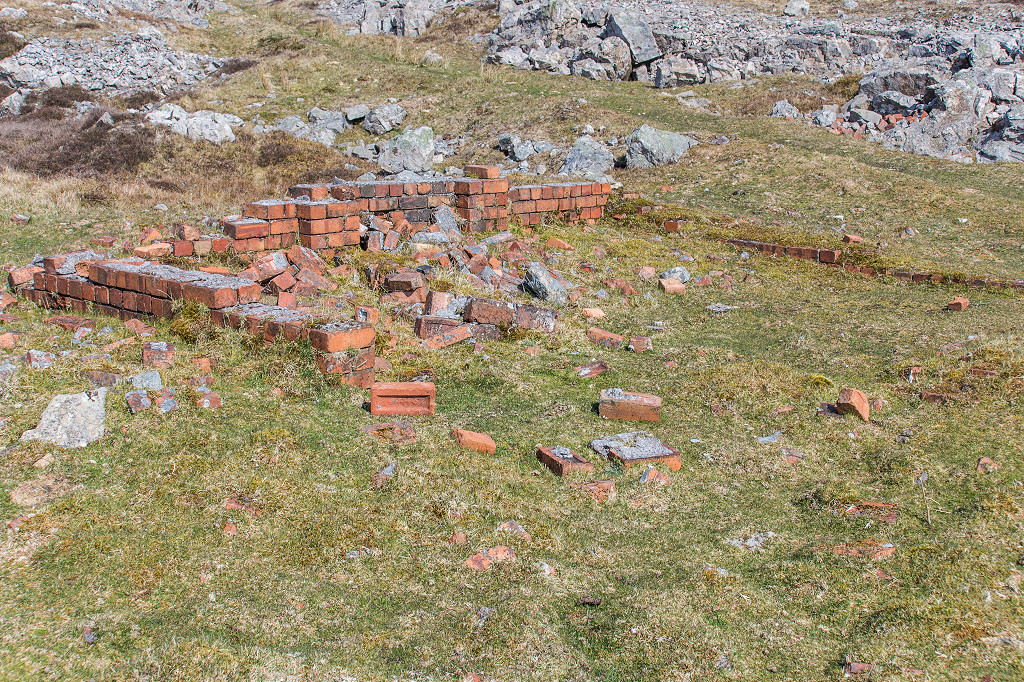
 Darran Colliery screens |
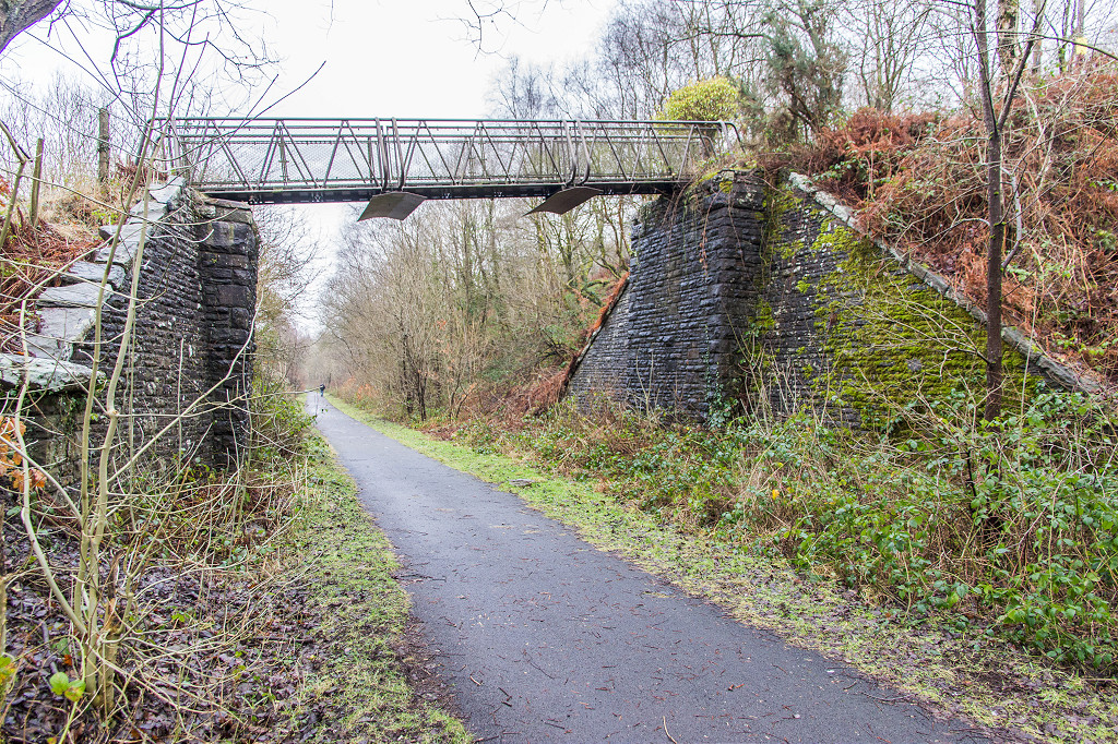
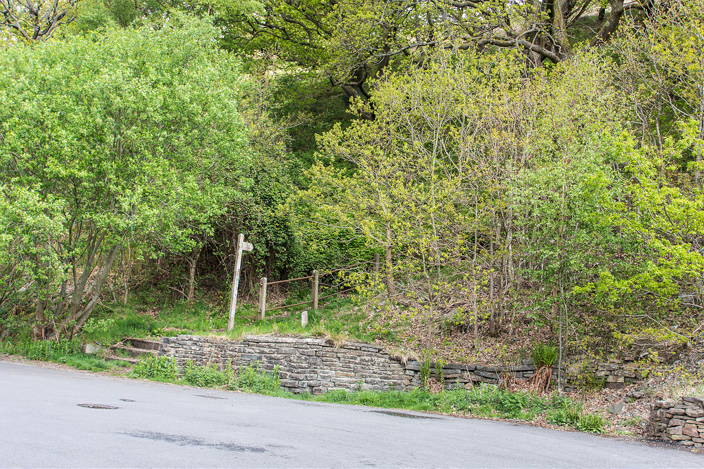
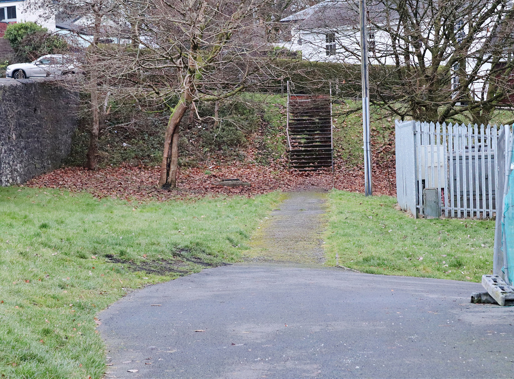
 Deri footbridge |
 Deri station subway |
 Deri Station signal post |
 Deri Station signal post |
 Deri goods yard sidings |
 Deri goods yard sidings |
 Deri goods yard sidings |
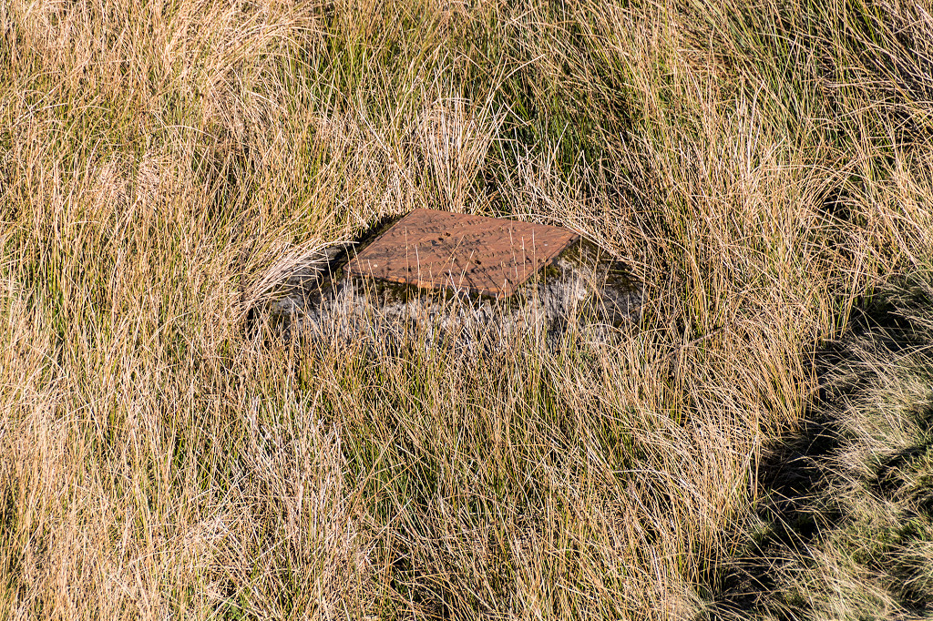
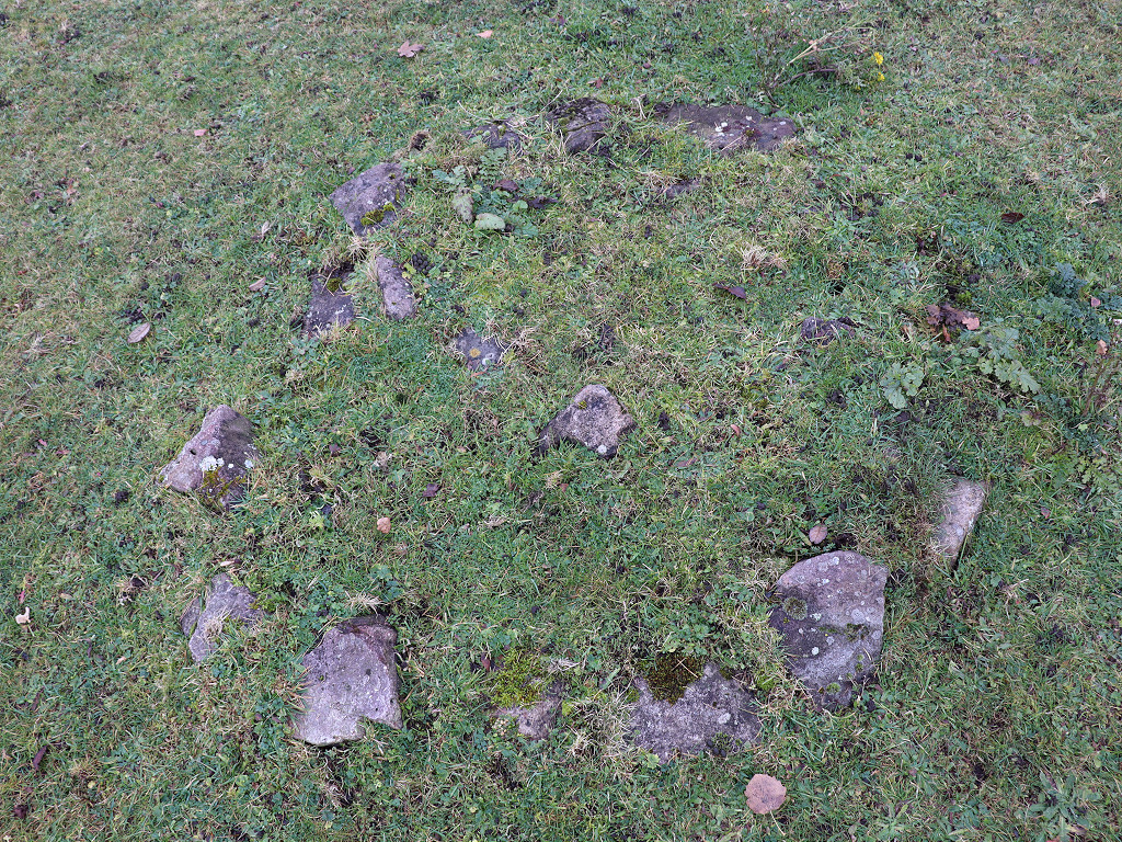
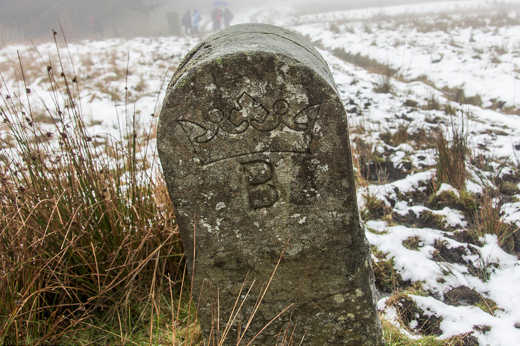 Marquis of Bute boundary stone |
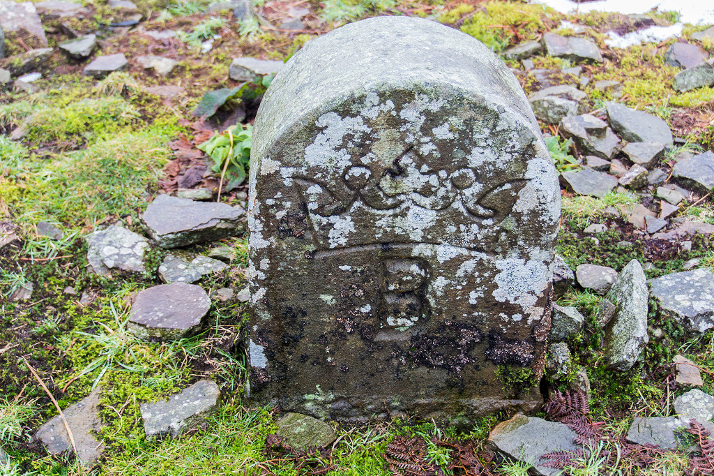 Marquis of Bute boundary stone |
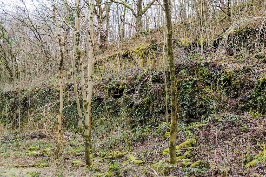
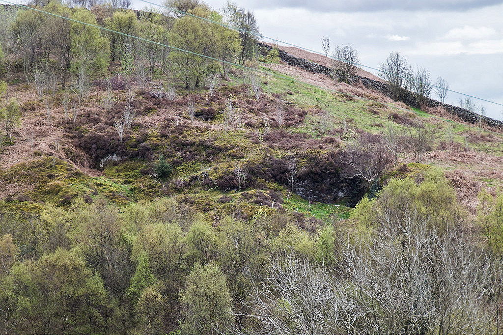
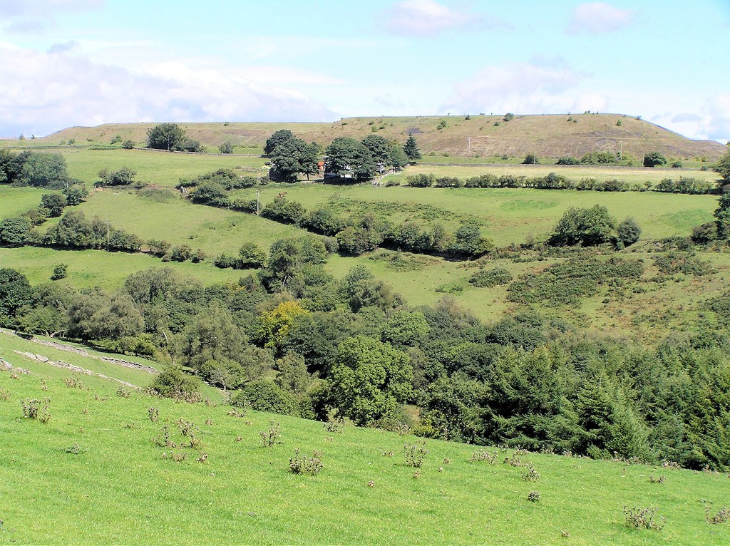
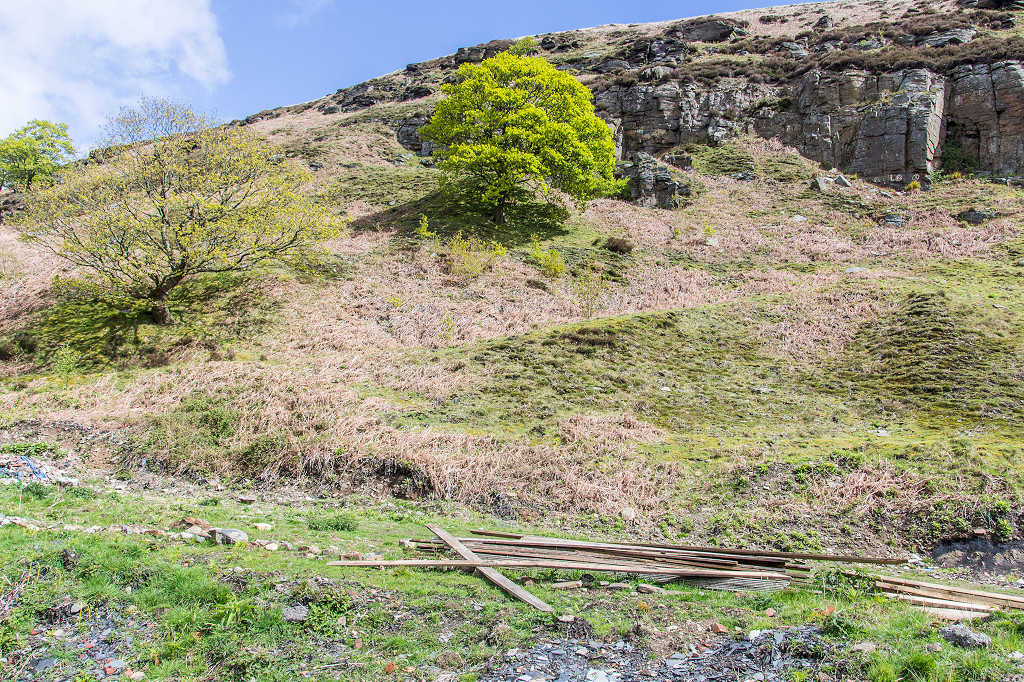
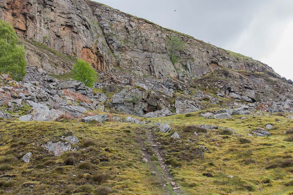
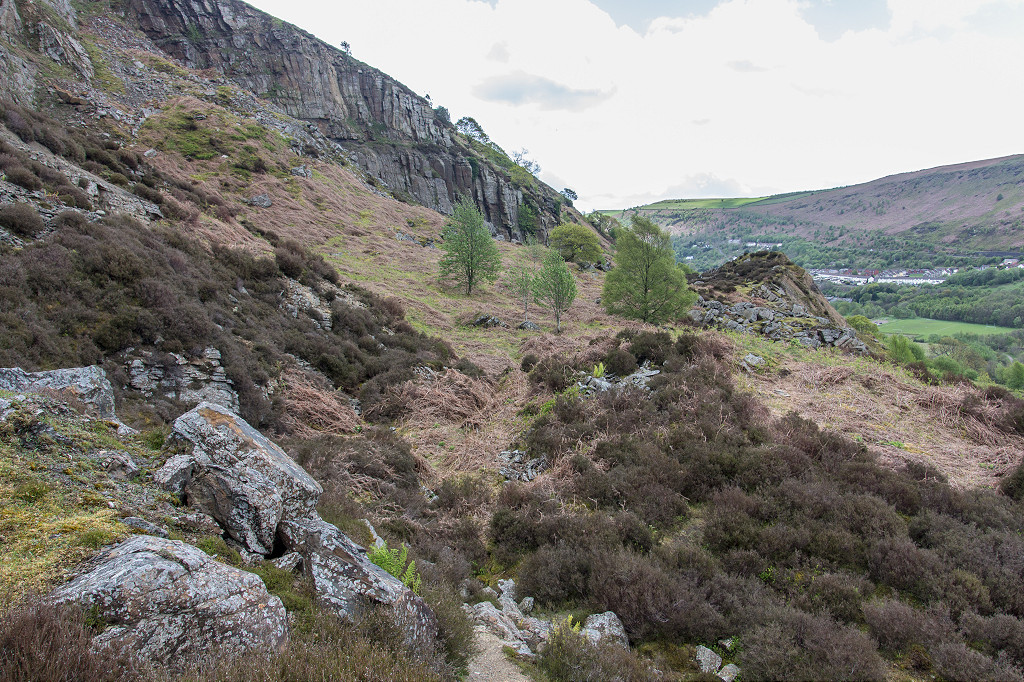
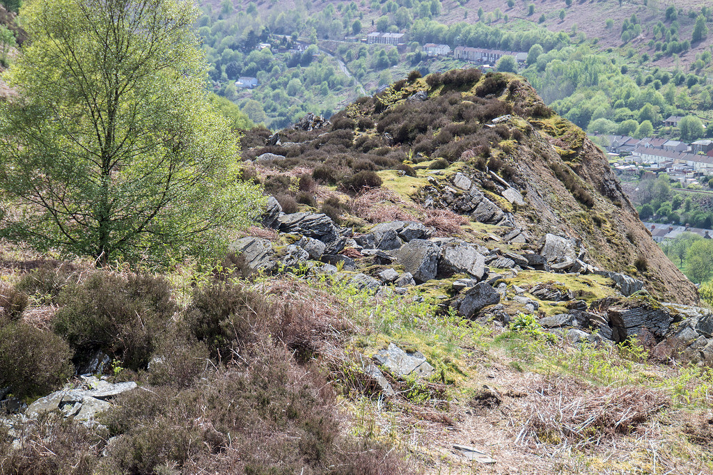
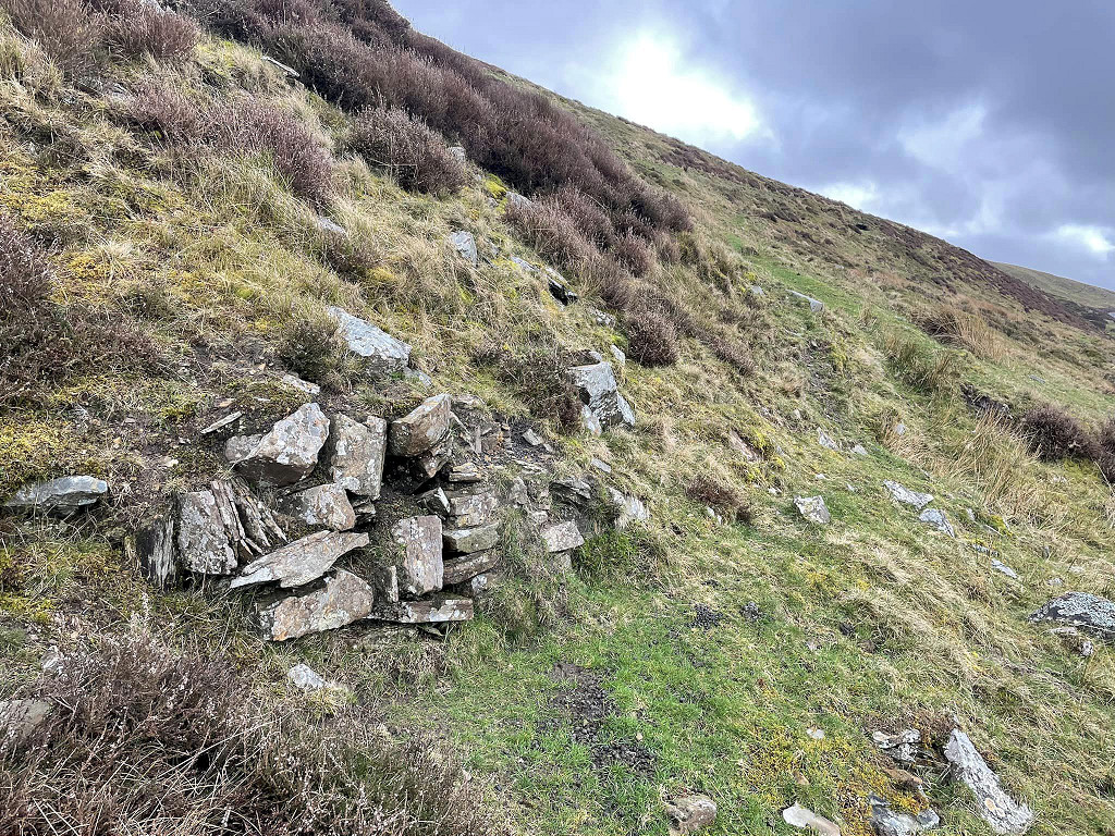
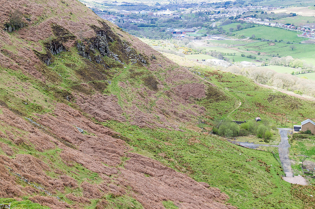
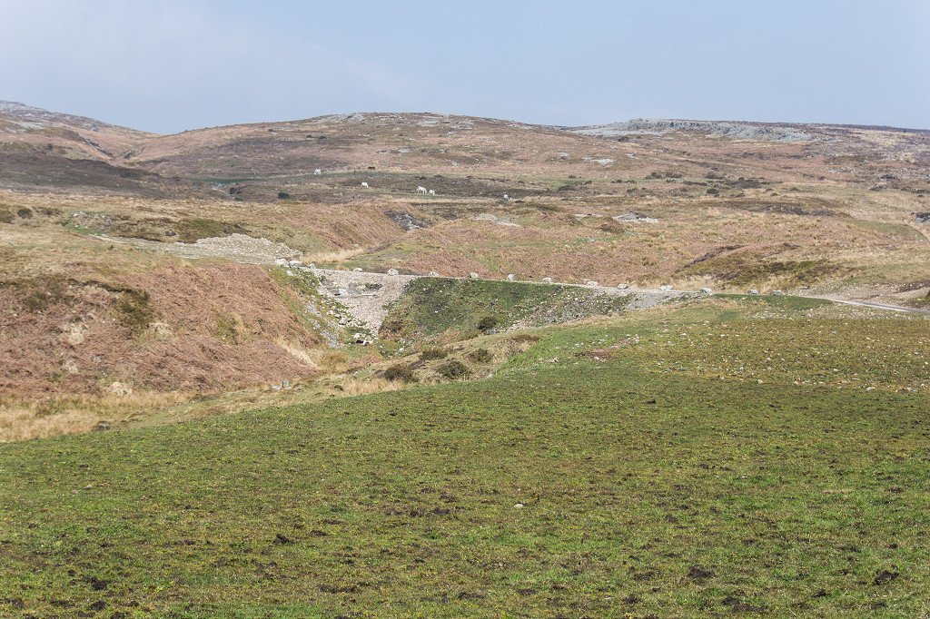
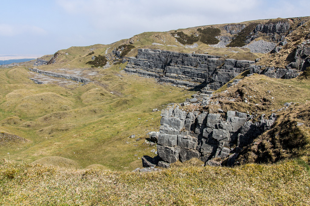
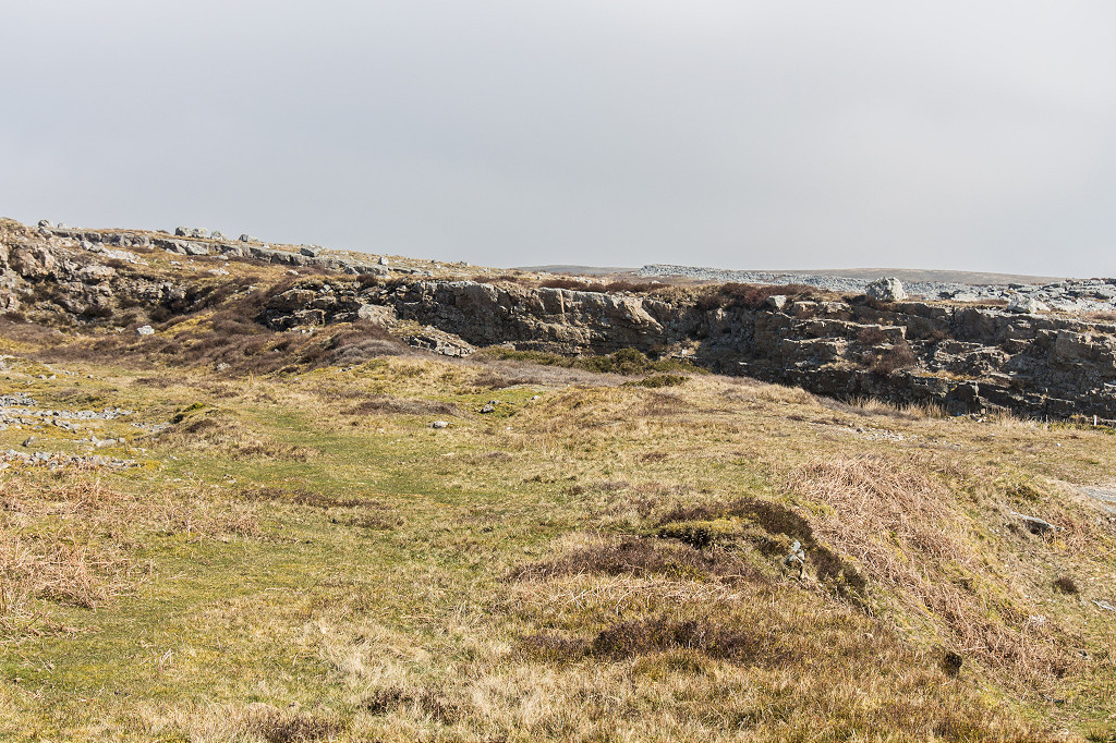
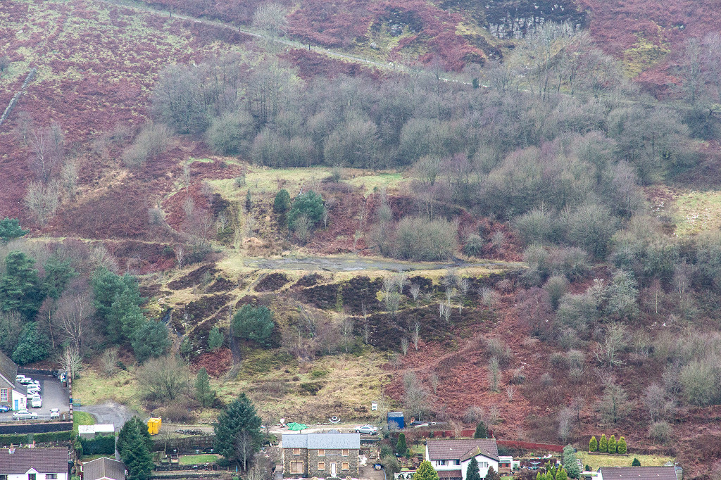 Quarries above Deri |
 Quarries above Deri |
 1870s quarry at Tyr-capel |
 Craig-y-felin quarries |
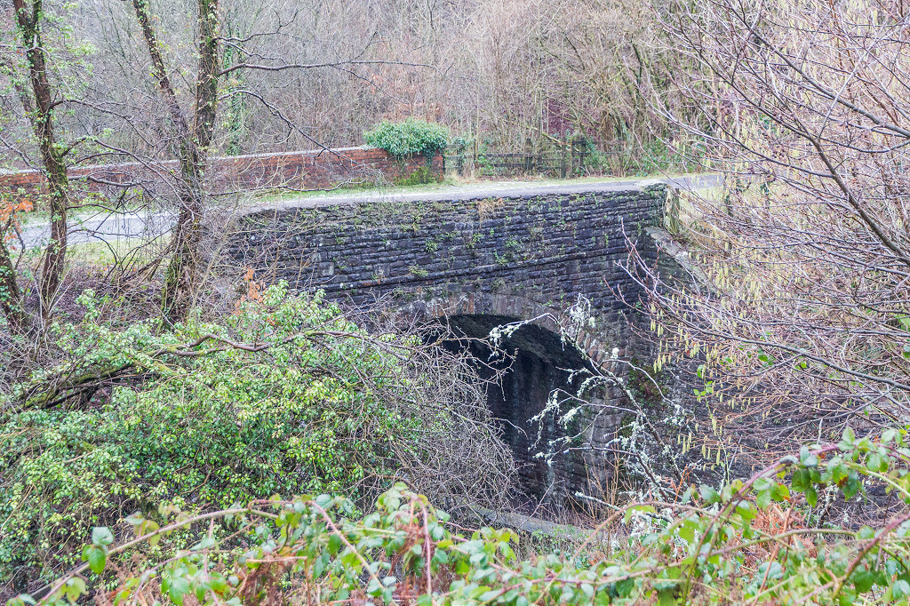
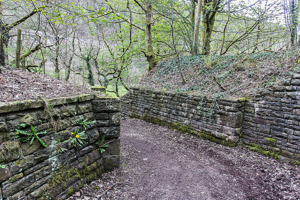
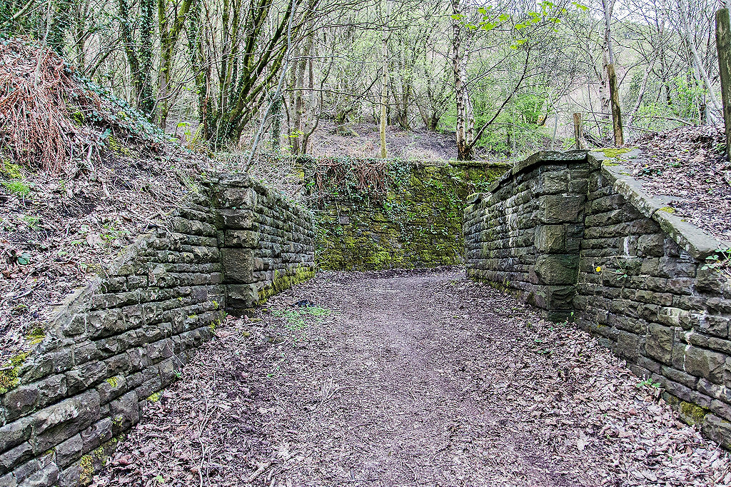
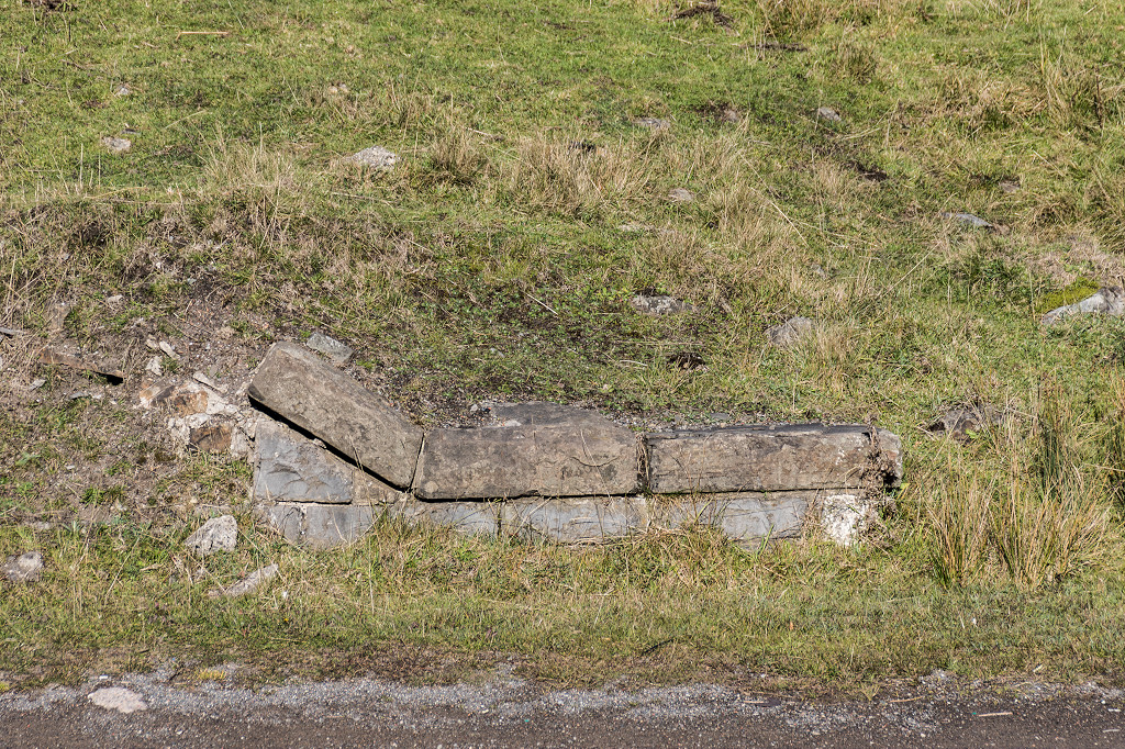
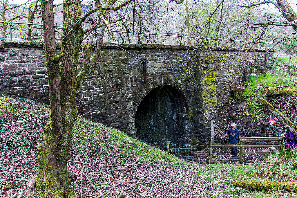
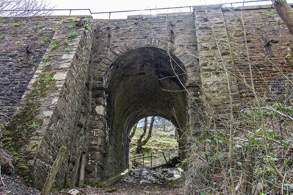
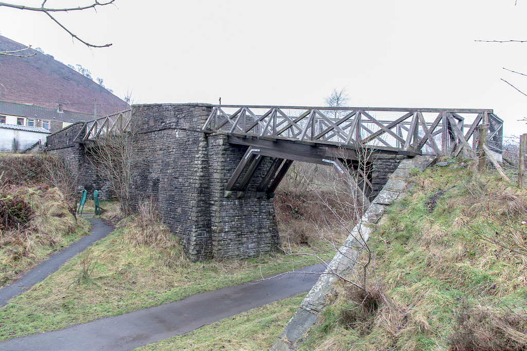 Deri overbridge |
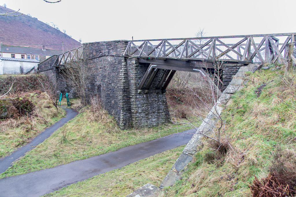 Deri overbridge |
 Deri overbridge |
 Deri overbridge |
 Deri overbridge |
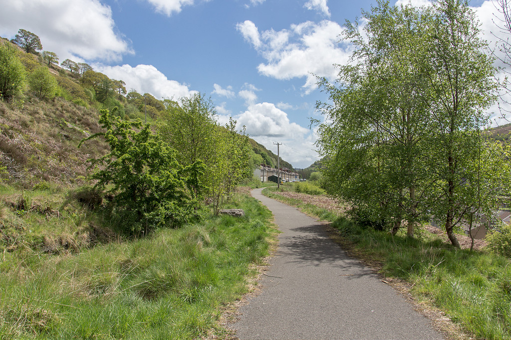
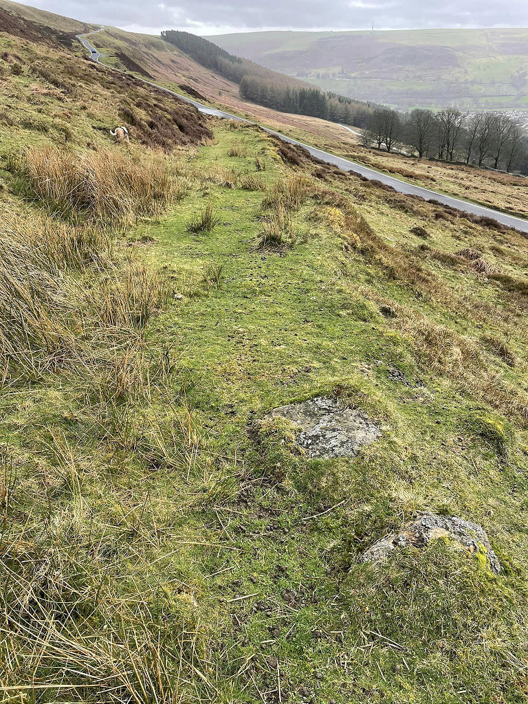
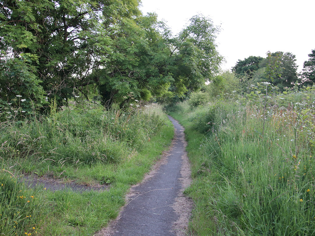
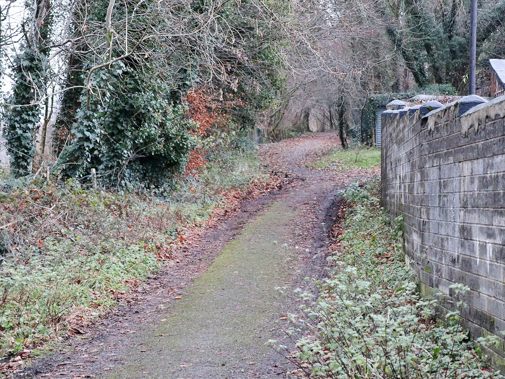
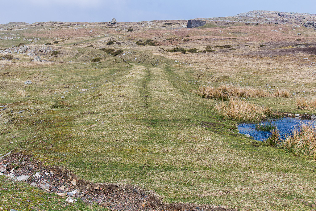
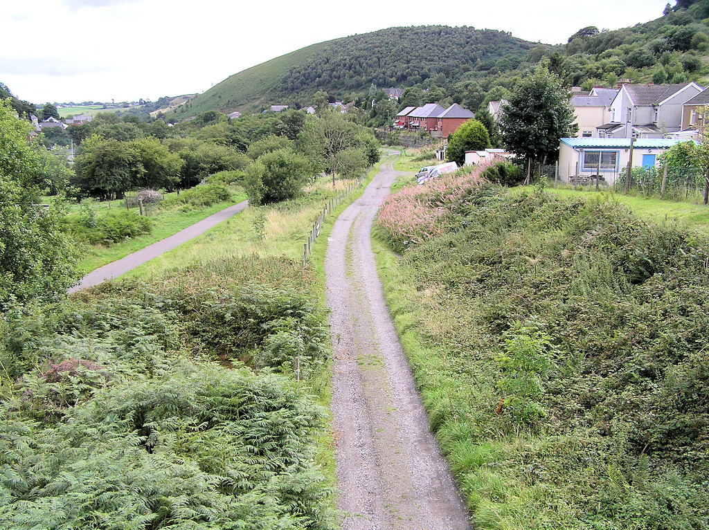 Deri BMR trackbed |
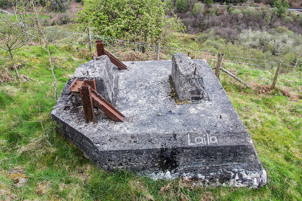
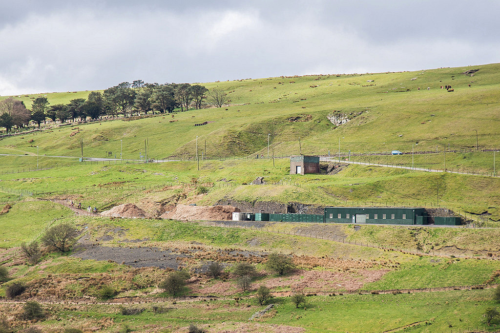
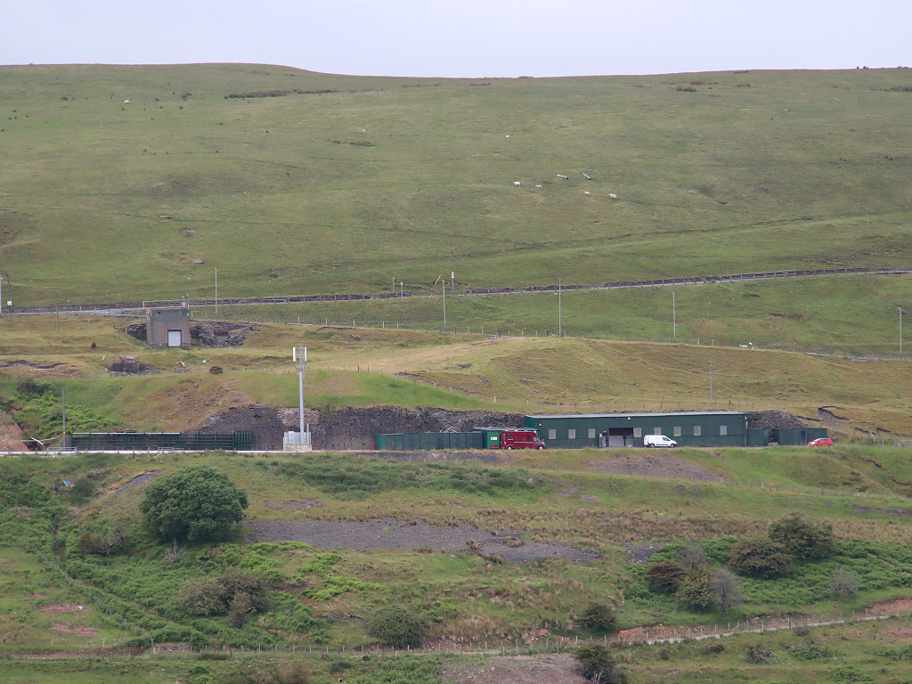
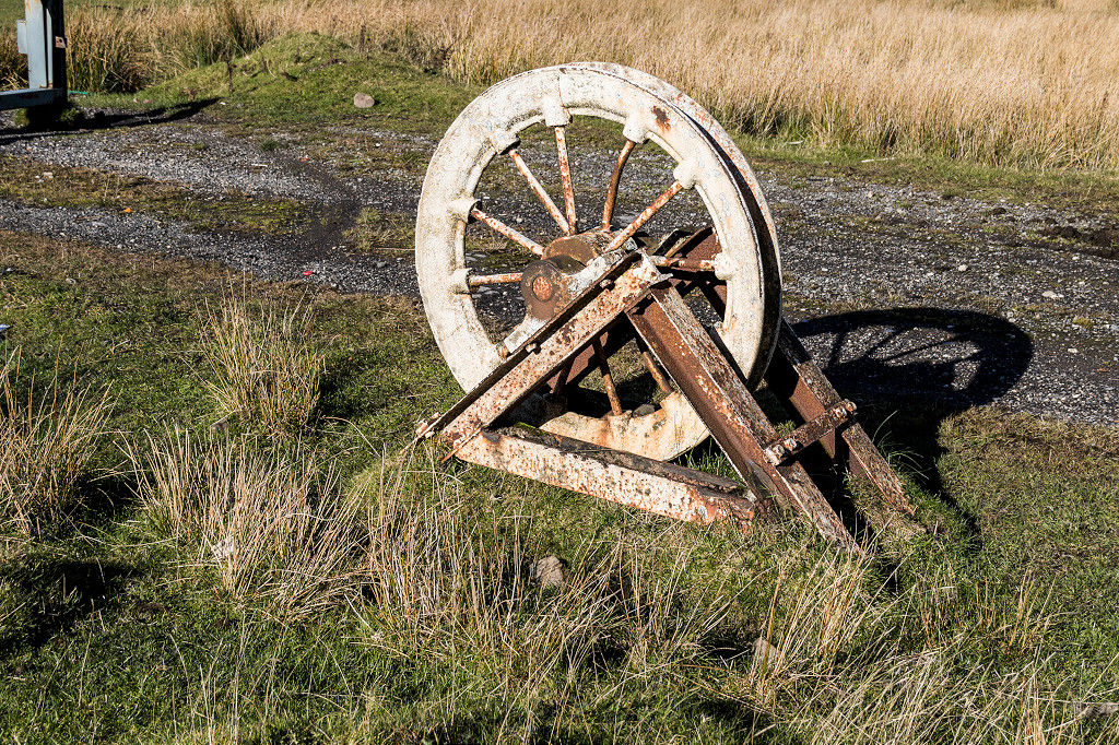
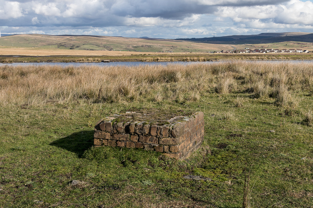
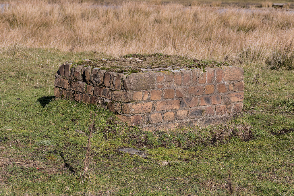
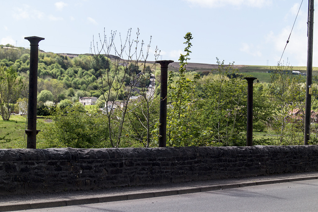
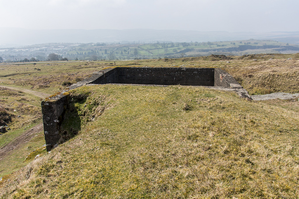
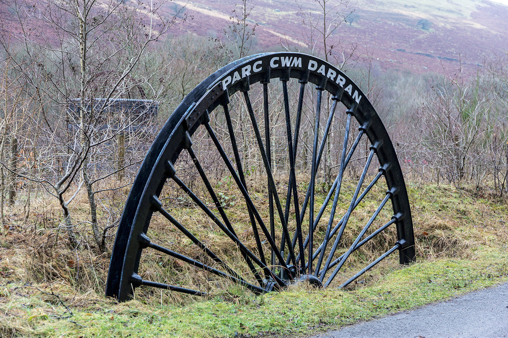 Ogilvie Colliery winding wheel |
 Ogilvie Colliery winding wheel |
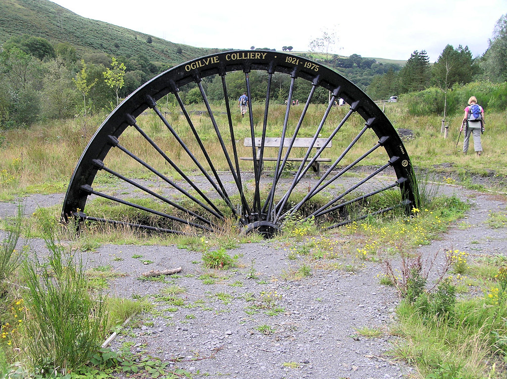 Ogilvie Colliery winding wheel |
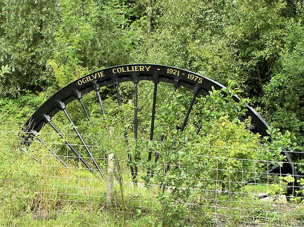 Ogilvie Colliery winding wheel |
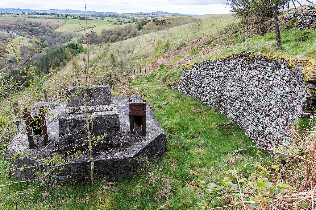
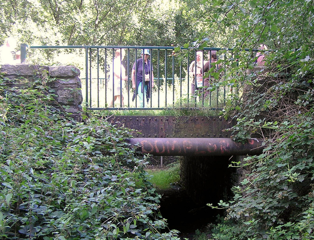
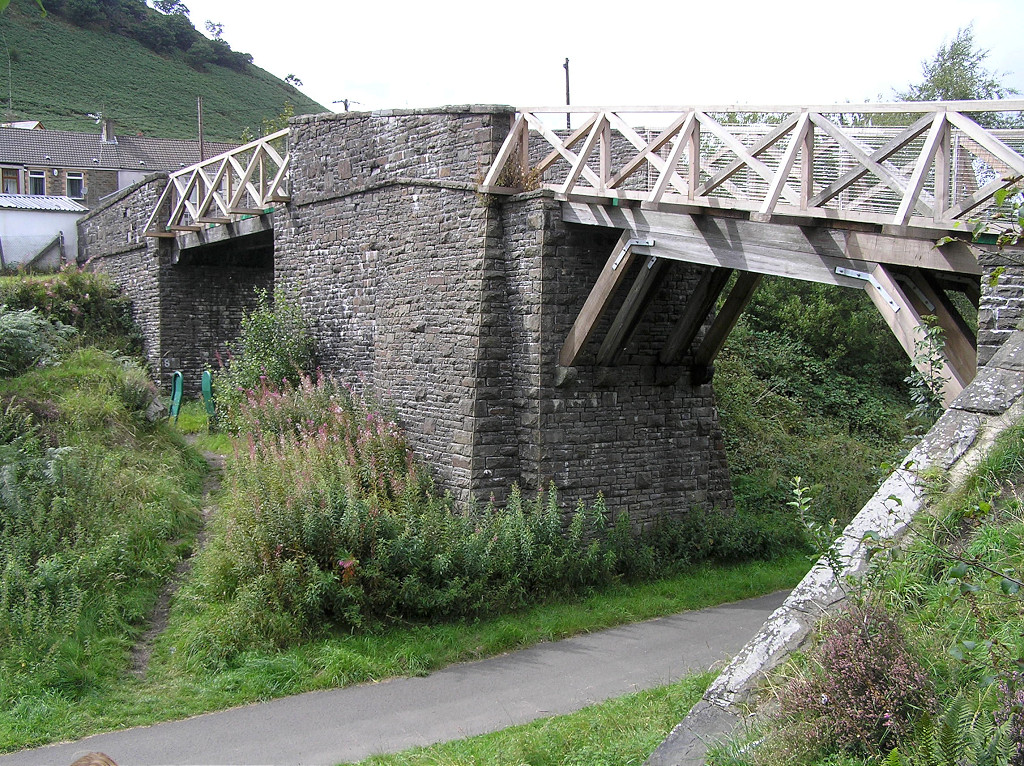
 BMR underbridge |
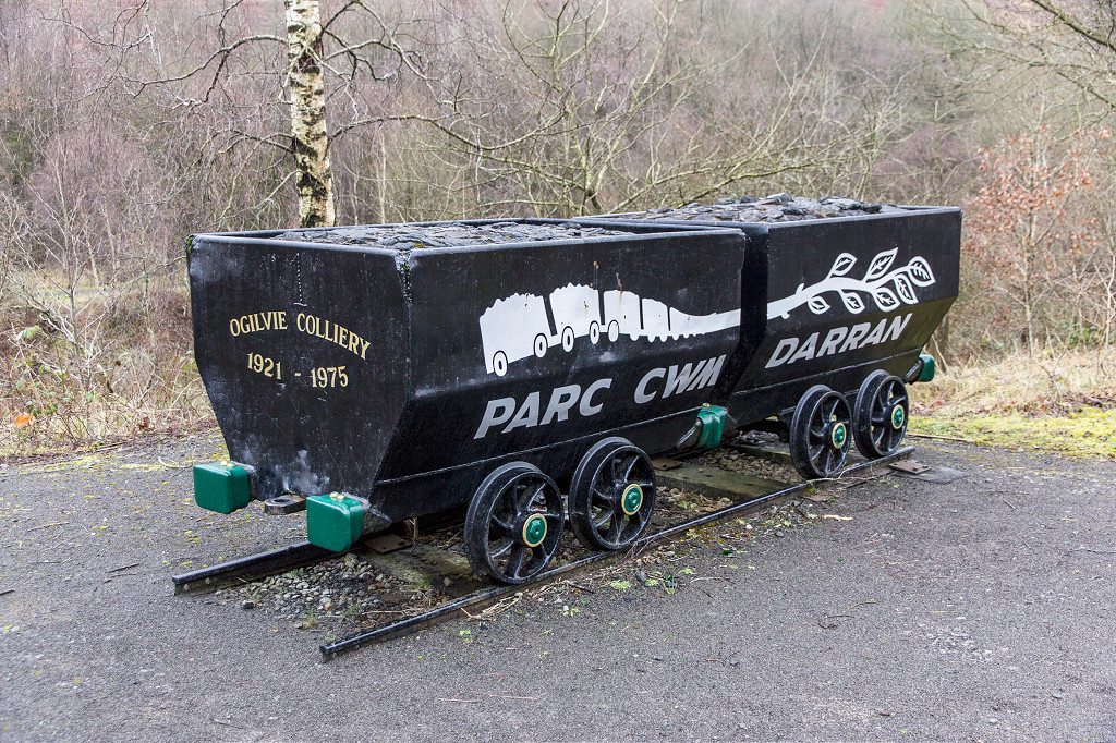 Ogilvie Colliery drams |
 Ogilvie Colliery drams |
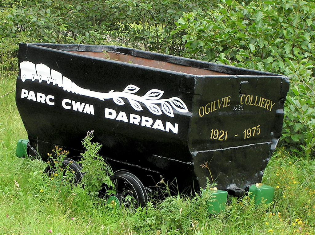 Ogilvie Colliery drams |
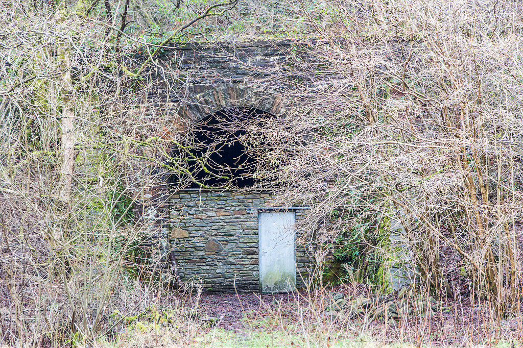
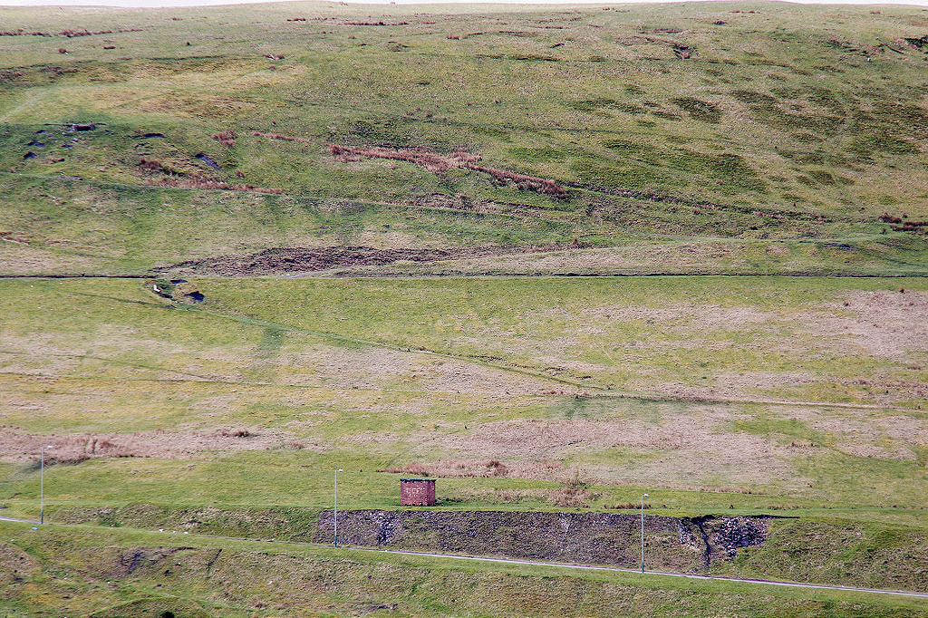
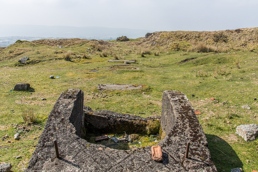
 Ogilvie Colliery airshaft |
 Ogilvie Colliery airshaft |
 Guide wheel on the tips |
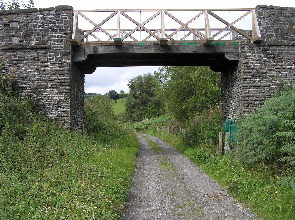
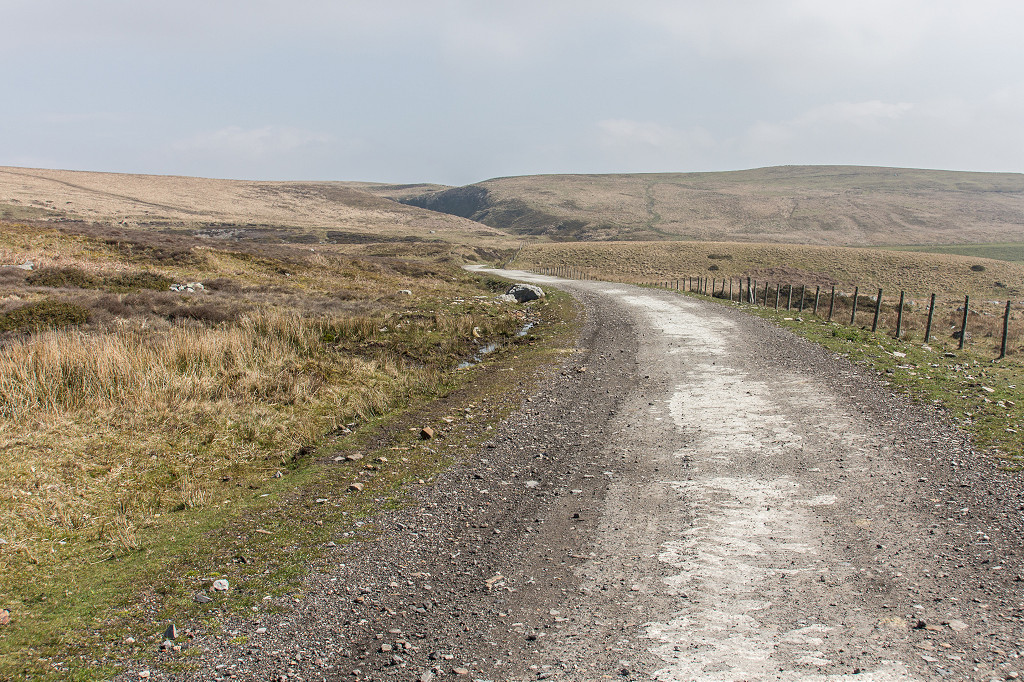
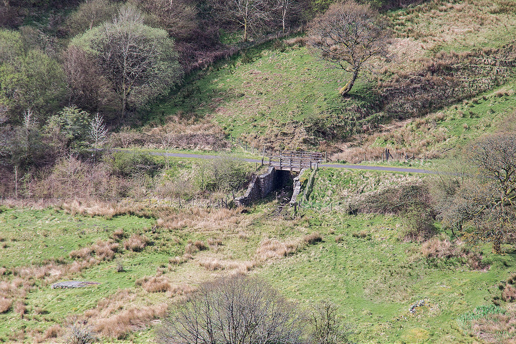 Pen-y-banc bridge BMR |
 Capel Siloh BMR, Pen-y-banc |
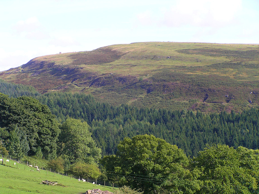
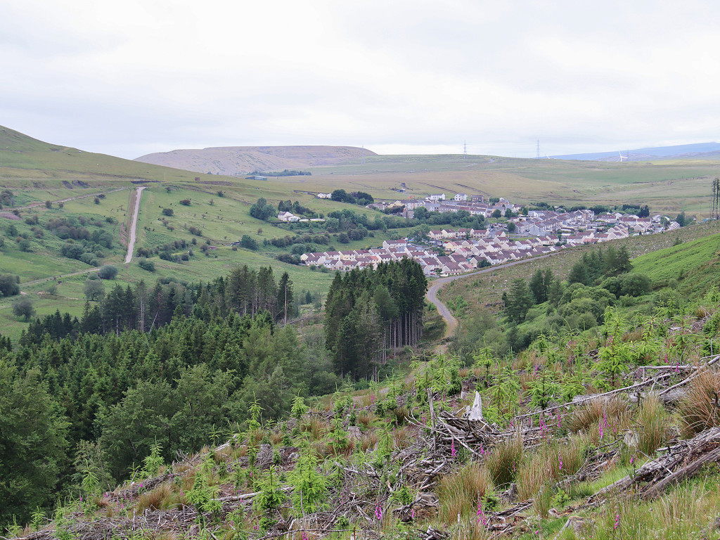 The BMR passing through Fochriw |
 The BMR passing through Fochriw |
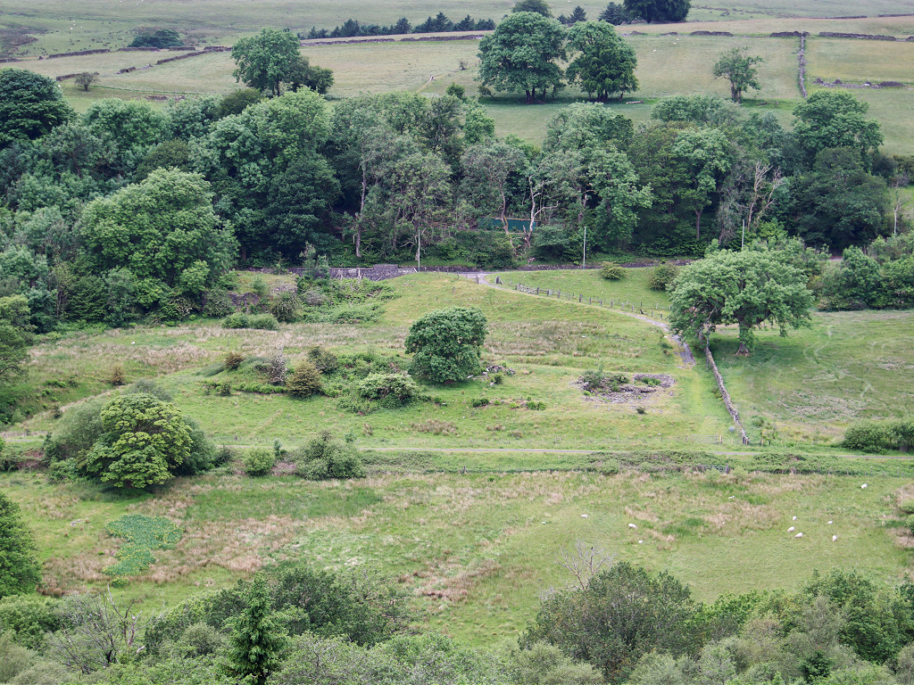
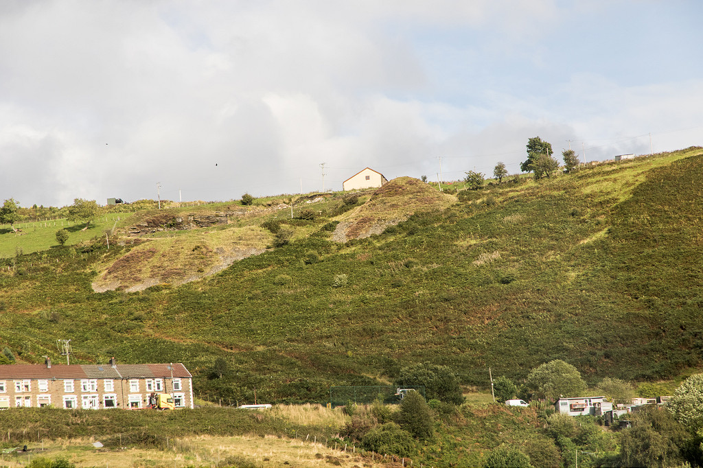
 Pentwyn Village |
 Ffynnon Duon Colliery |
 Ffynnon Duon Colliery |
 Ffynnon Duon Colliery |
 Fochriw Colliery site |
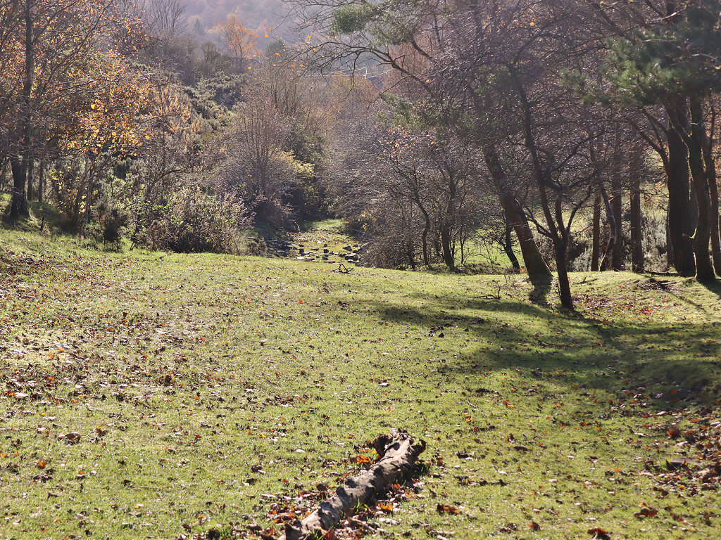
 Levels opposite Pentwyn |
 Levels opposite Pentwyn |
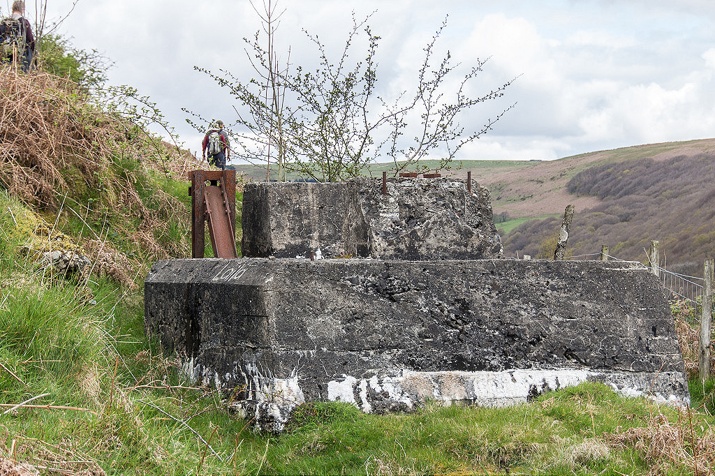
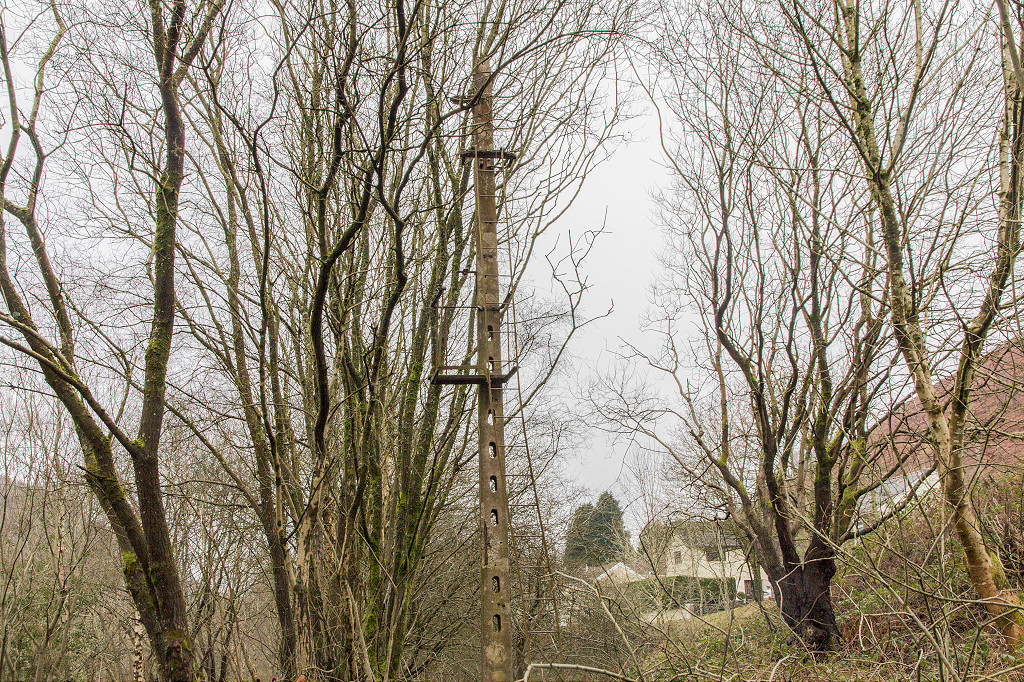
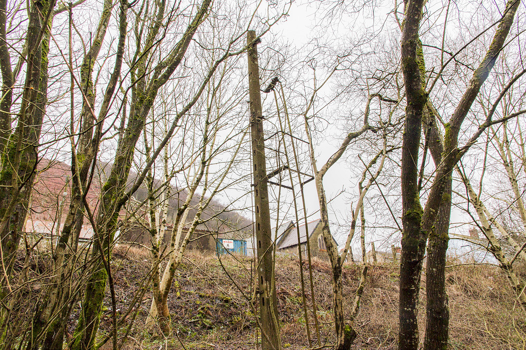
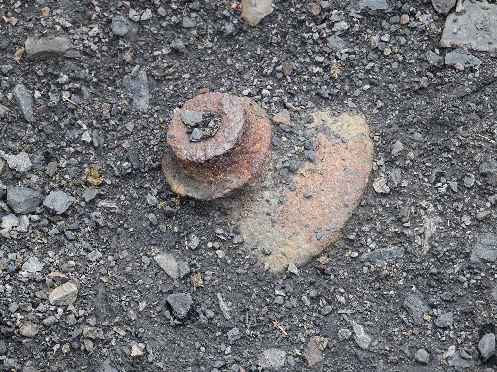
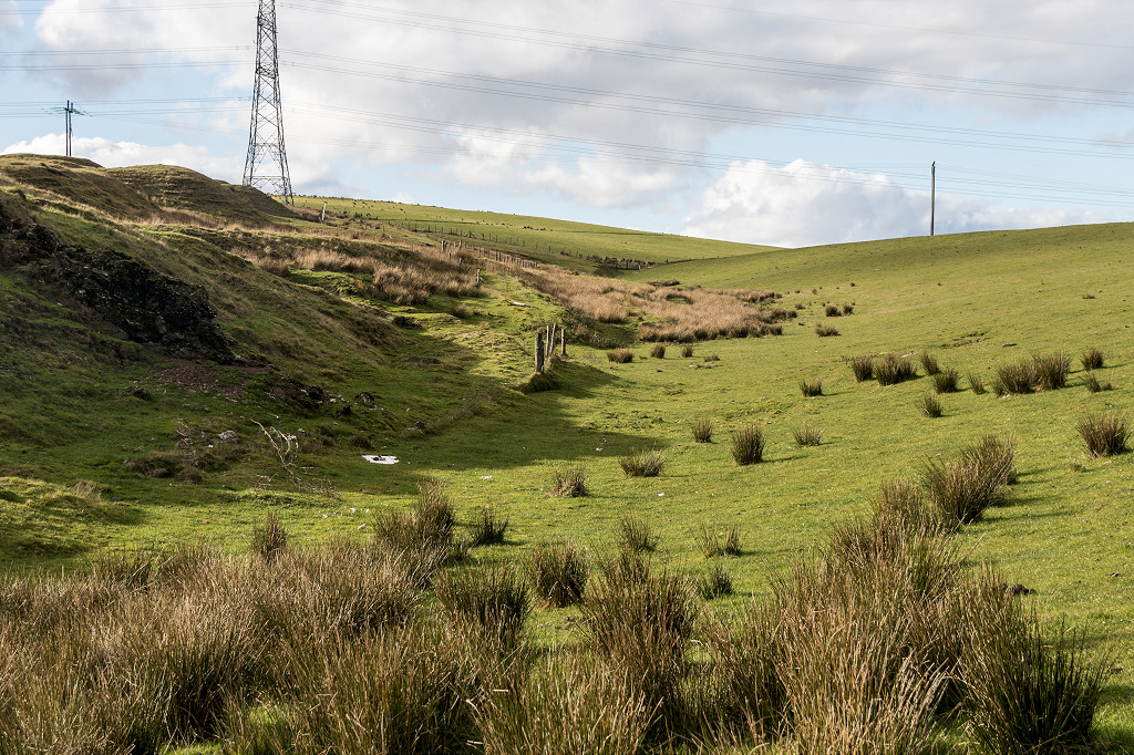
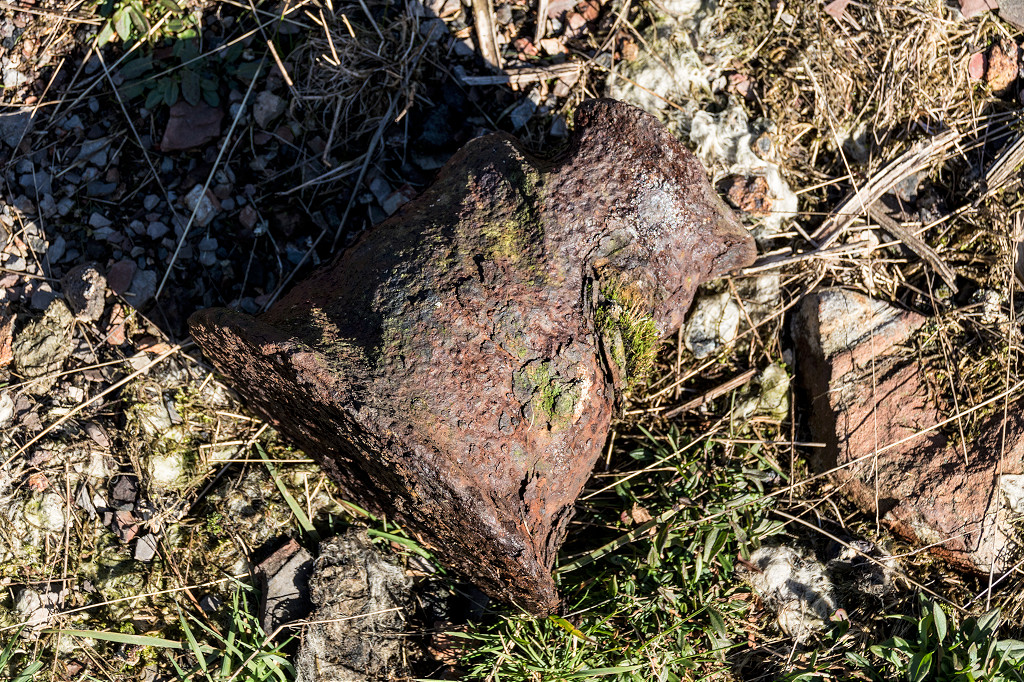
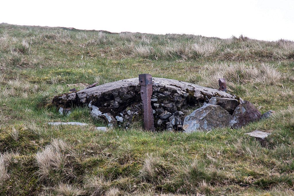 Base of a pylon |
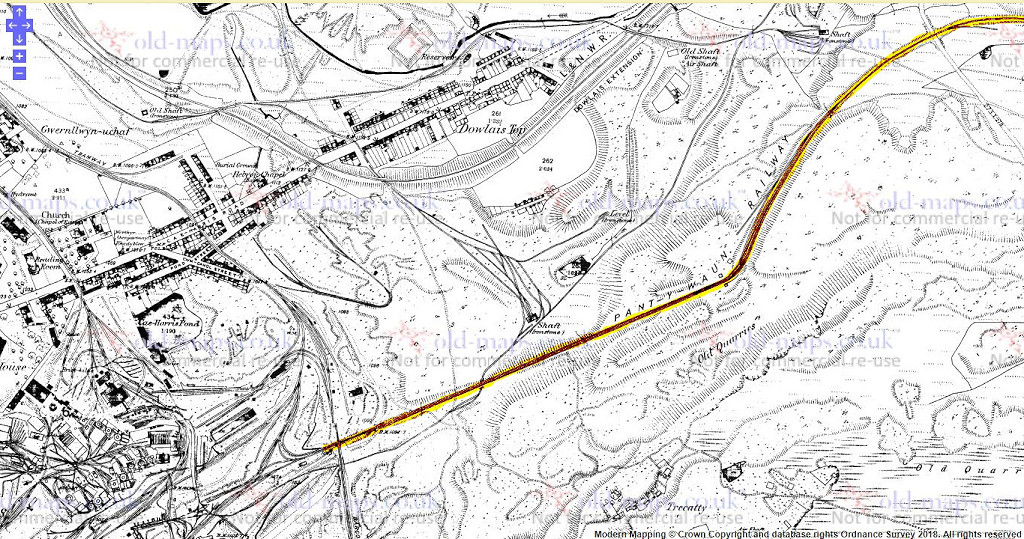
 Fochriw, 1900 |
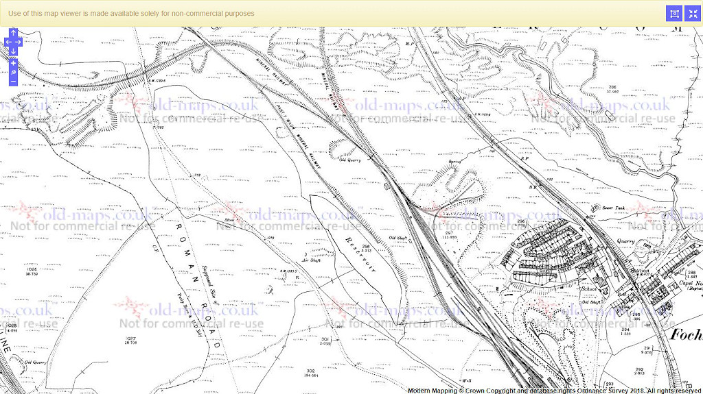
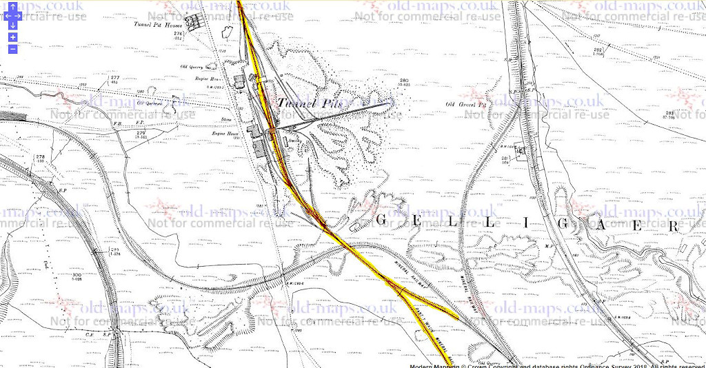
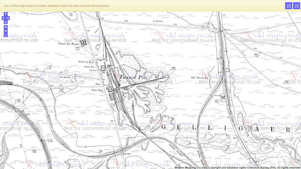 Tunnel Pits, 1900 |
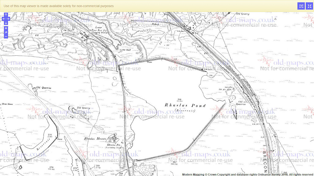 Rhaslas Reservoir, 1900 |
|
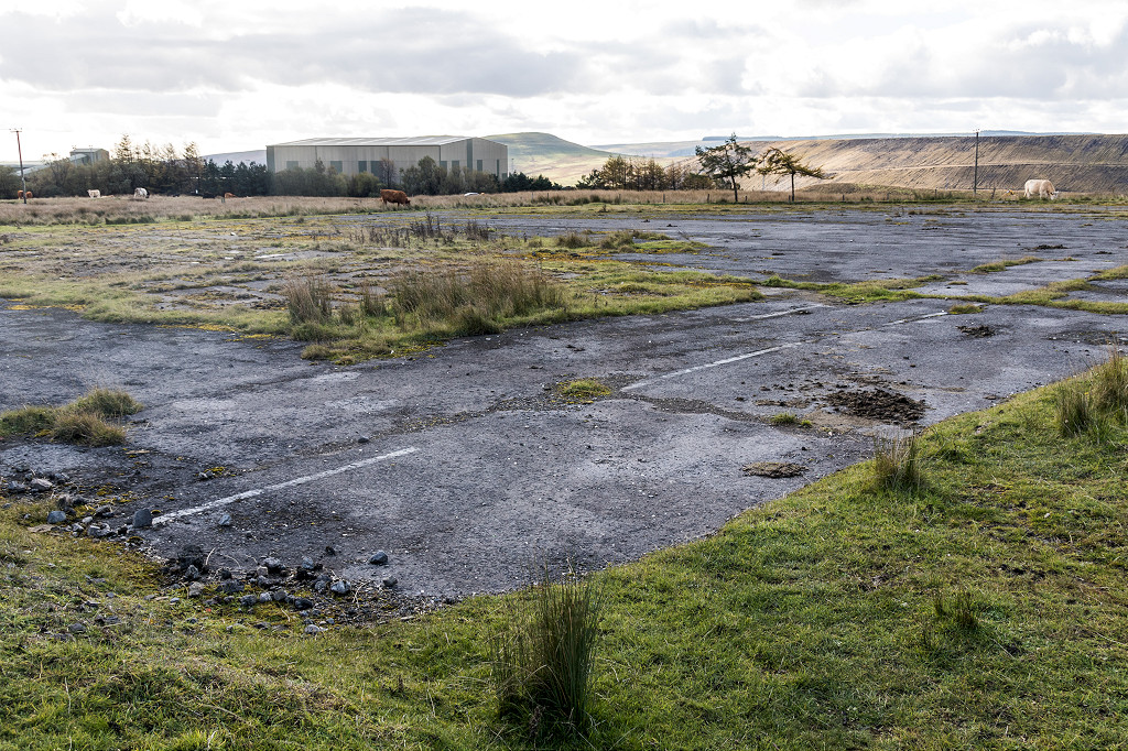
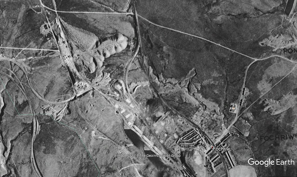 Fochriw aerial view, 1945 |
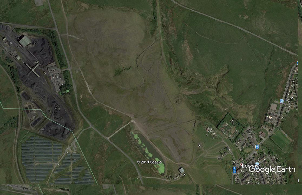 Fochriw satellite view, 2018 |
 Rhaslas aerial view, 1945 |
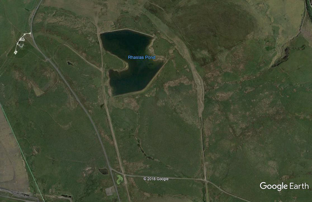 Rhaslas satellite view, 2018 |
 Fochriw tips and workings |
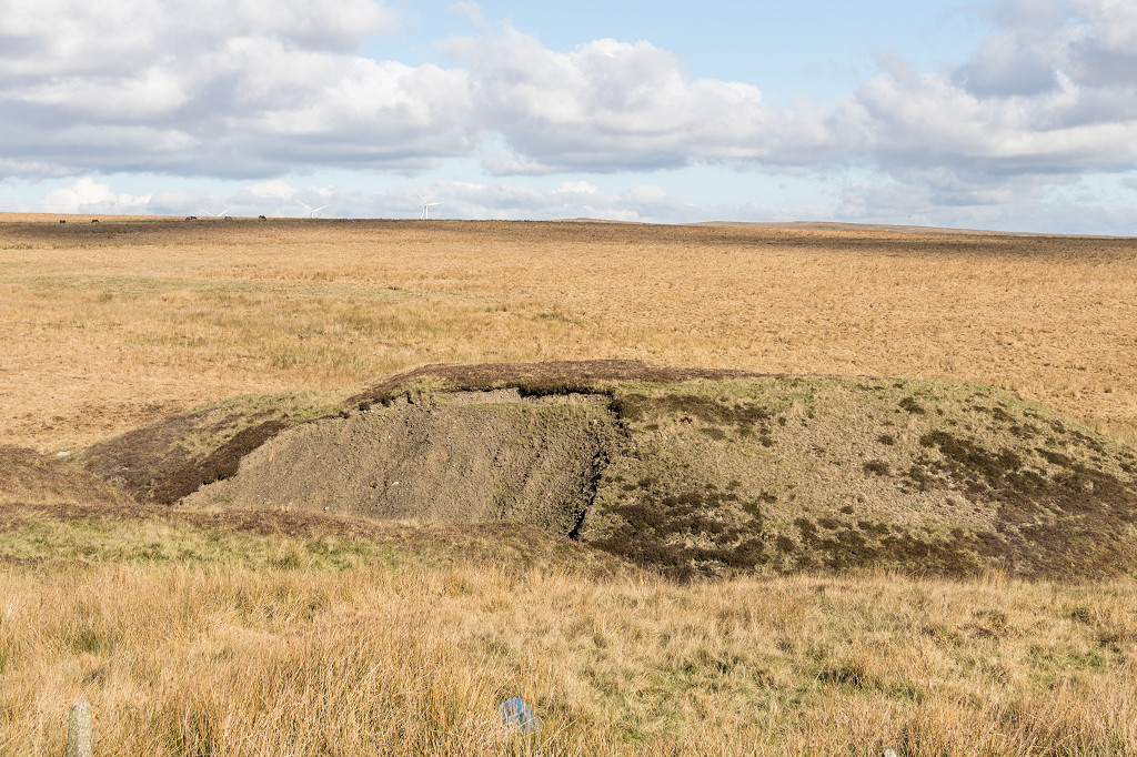 Fochriw tips and workings |
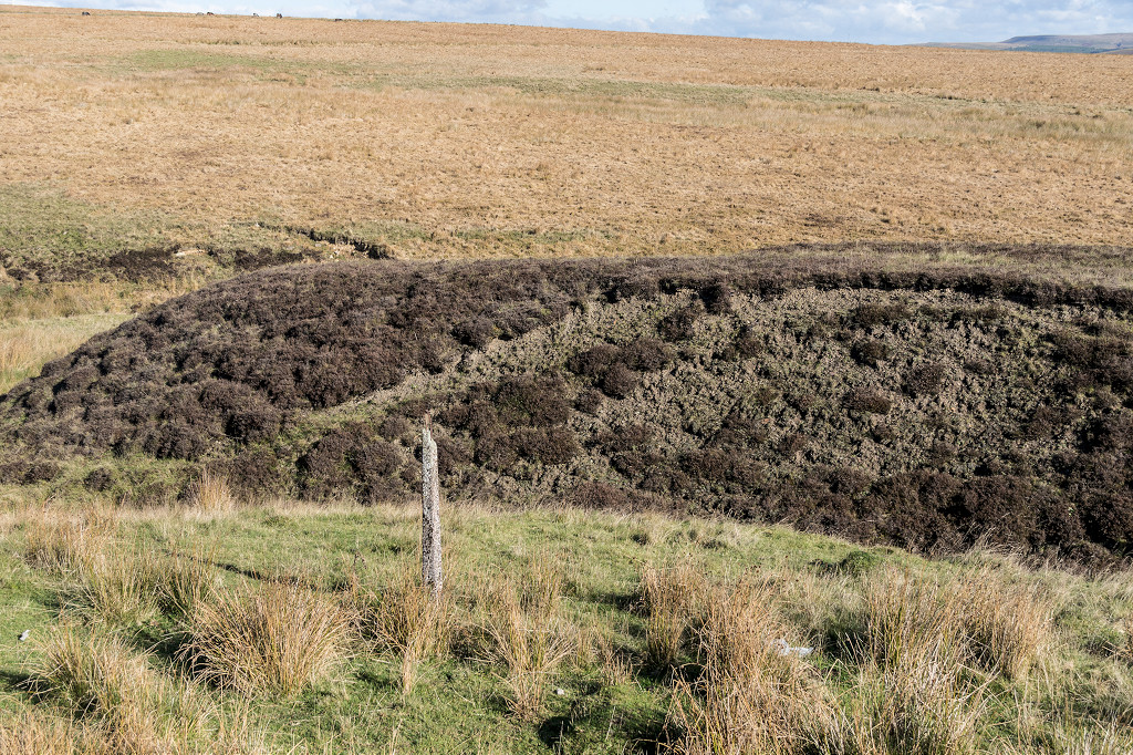 Fochriw tips and workings |
|
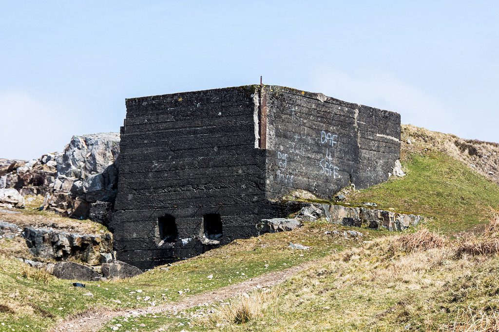
 Pulley wheel at Fochriw |
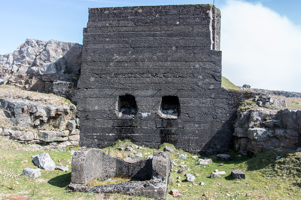
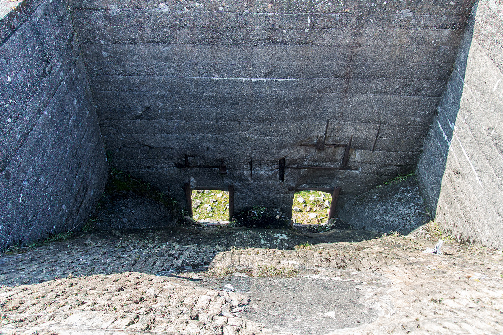
 Air shaft at Fochriw feeder pond |
 Air shaft at Fochriw feeder pond |
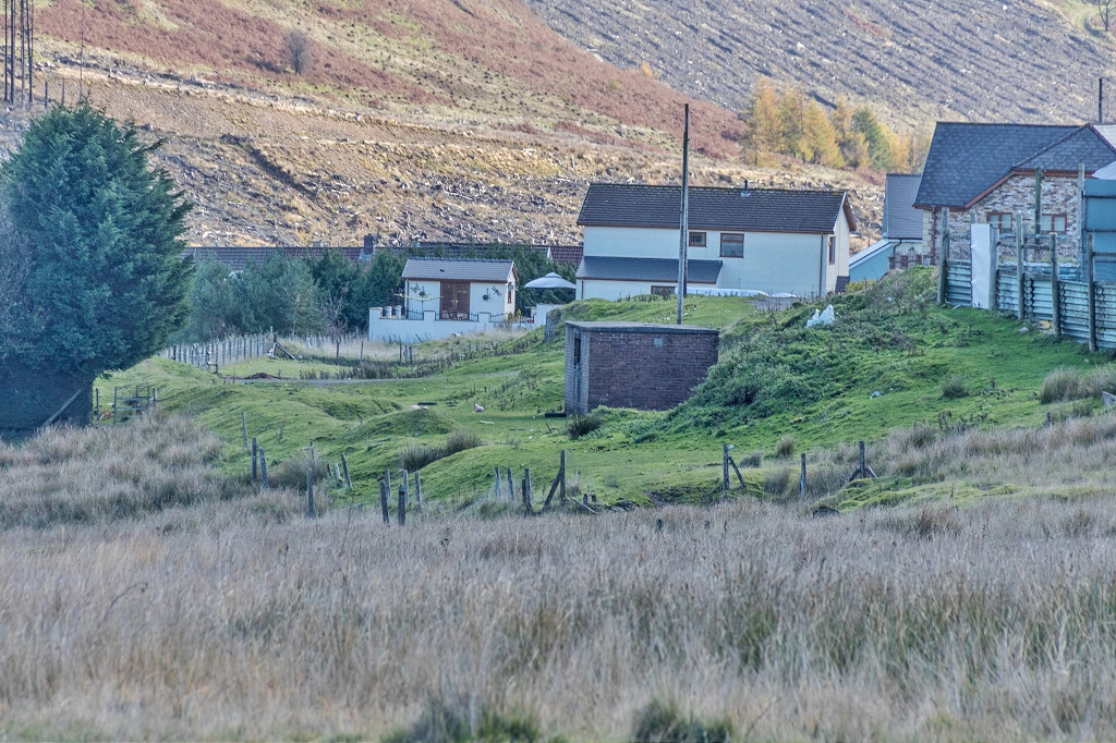 Fochriw P W hut |
 Looking towards Fochriw |
 Looking towards Fochriw |
 Fochriw Colliery branch junction |
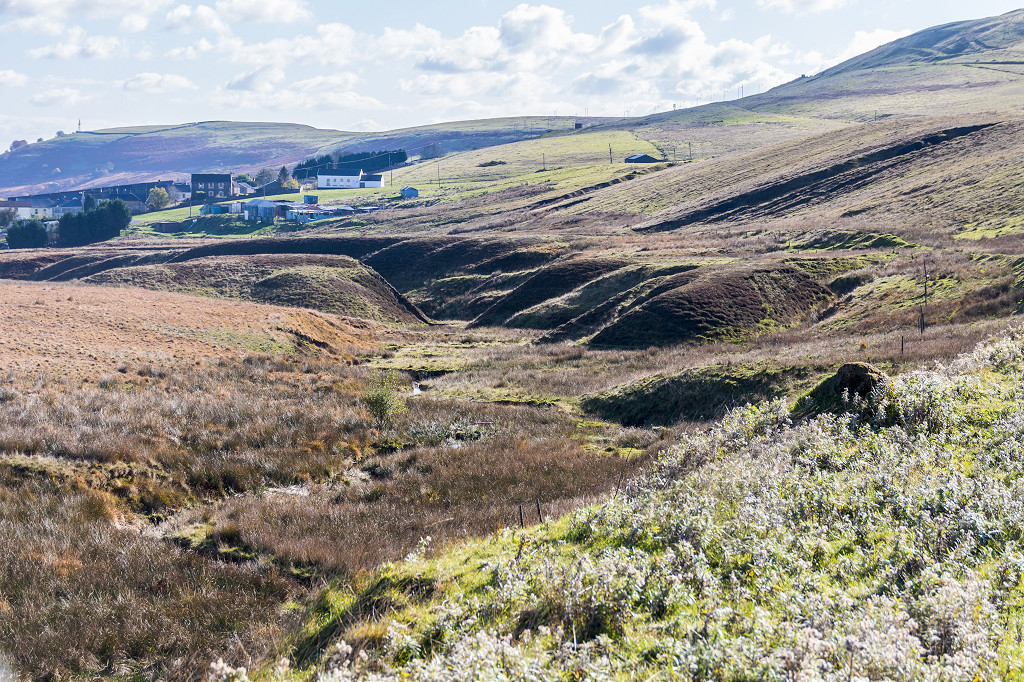
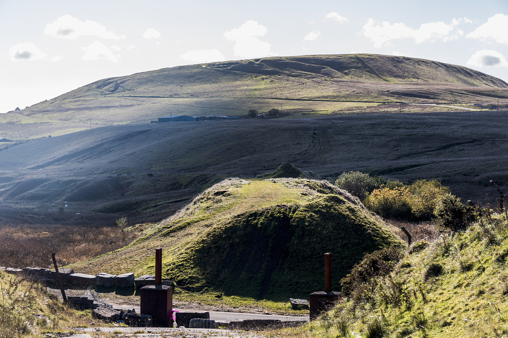
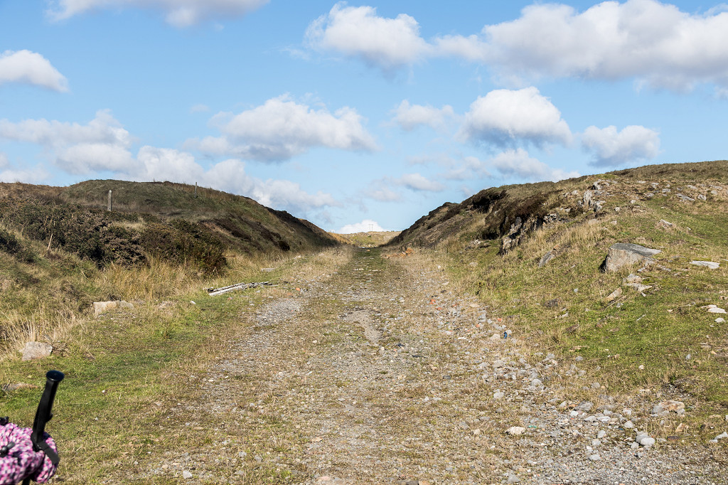
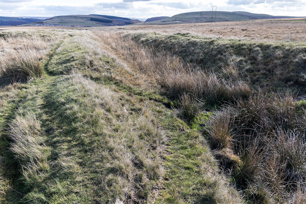
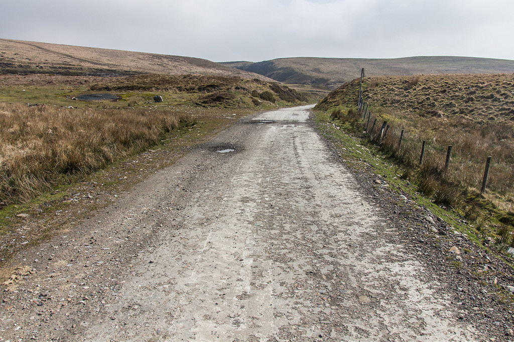
 The B&MR embankment |
 The B&MR embankment |
 The B&MR embankment |
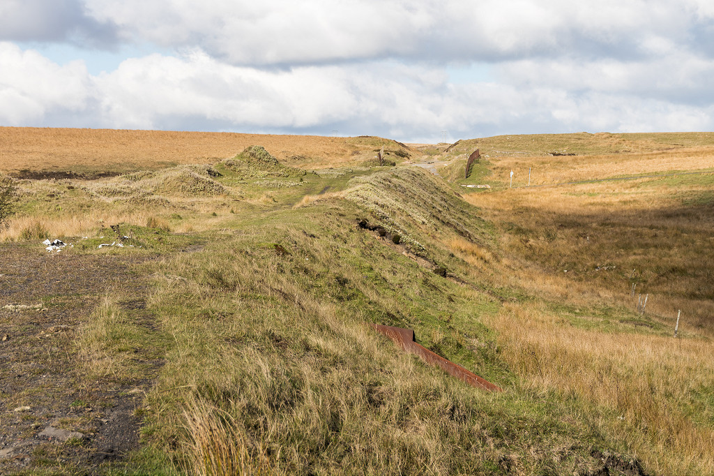 The B&MR embankment |
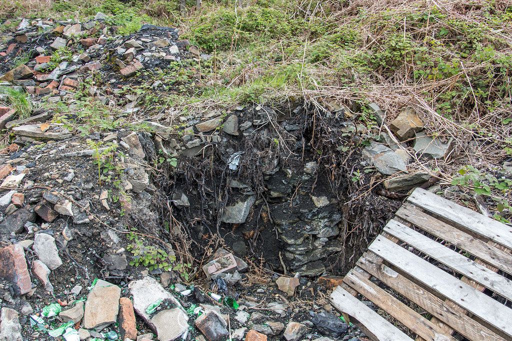
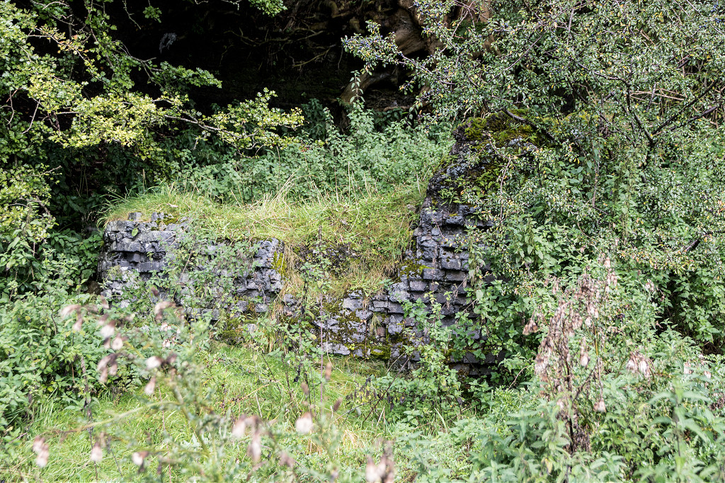
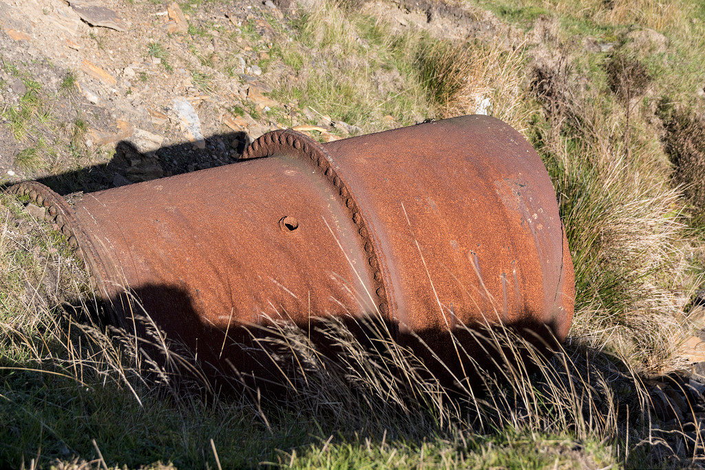 A culvert undert the B&MR |
 The B&MR embankment |
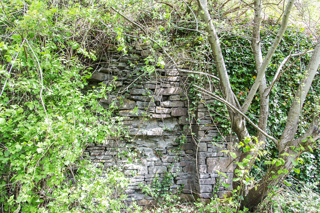
 The B&MR bridge abutments |
 The B&MR bridge abutments |
 The B&MR bridge abutments |
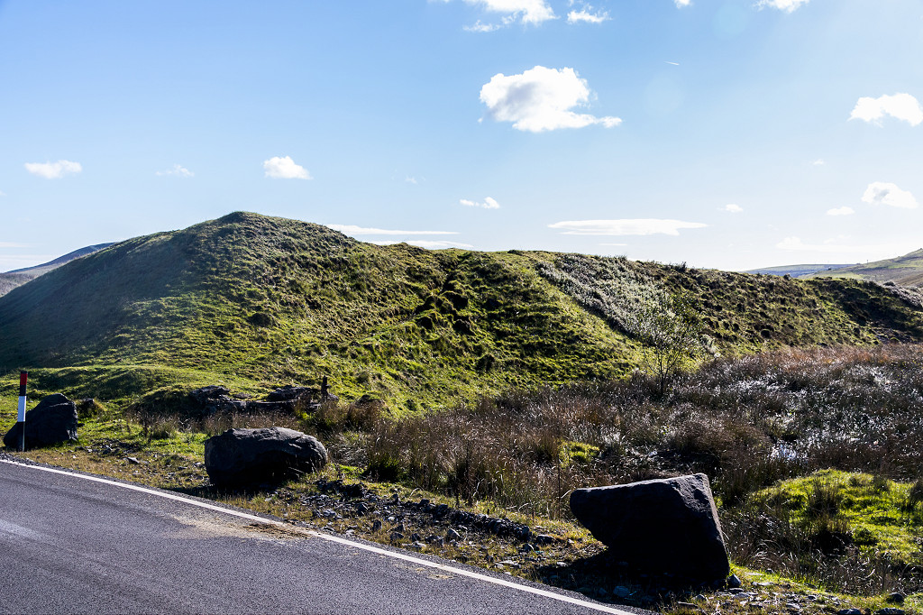
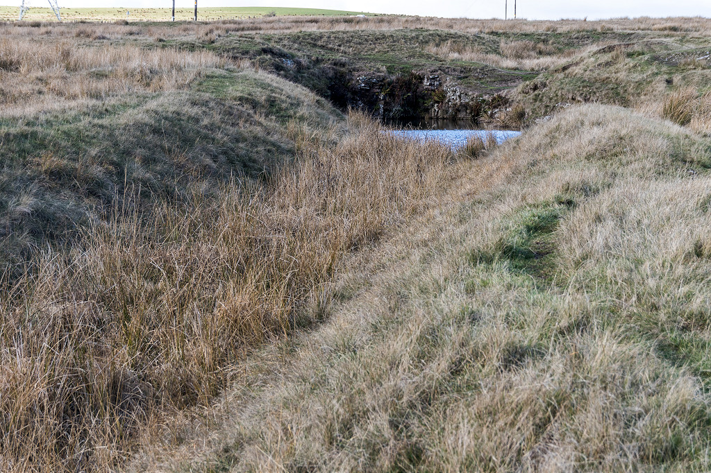
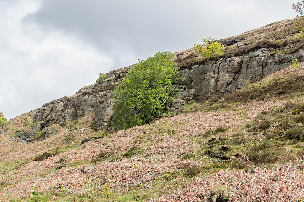
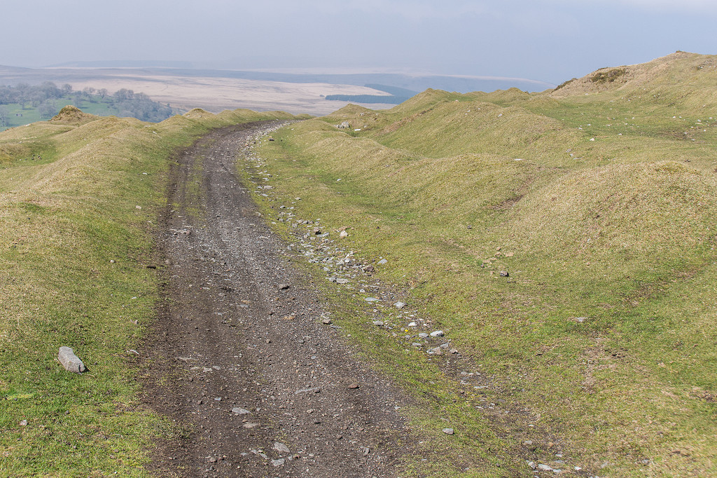
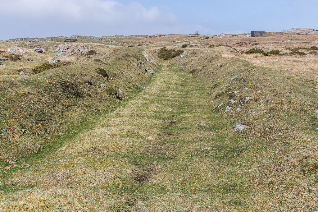
 The B&MR cutting |
 The B&MR cutting |
 The B&MR cutting |
 The B&MR to GWR/RR line |
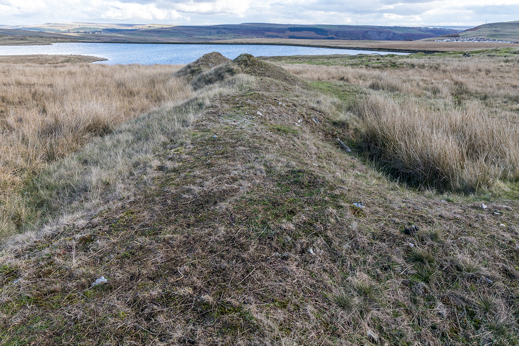
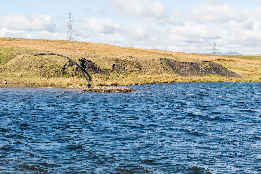
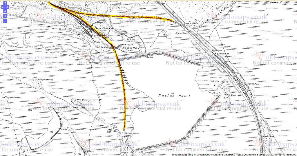
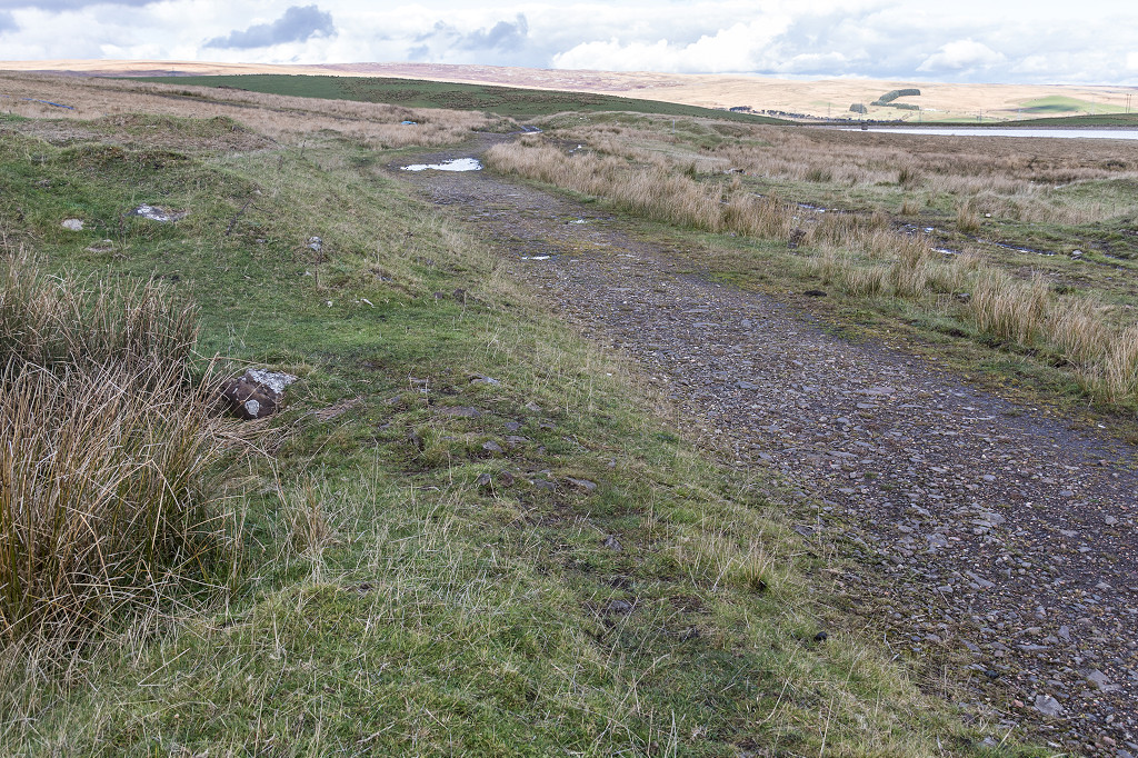
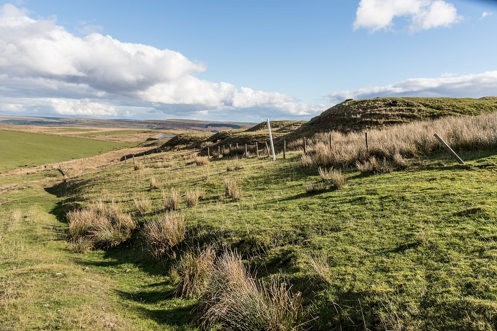
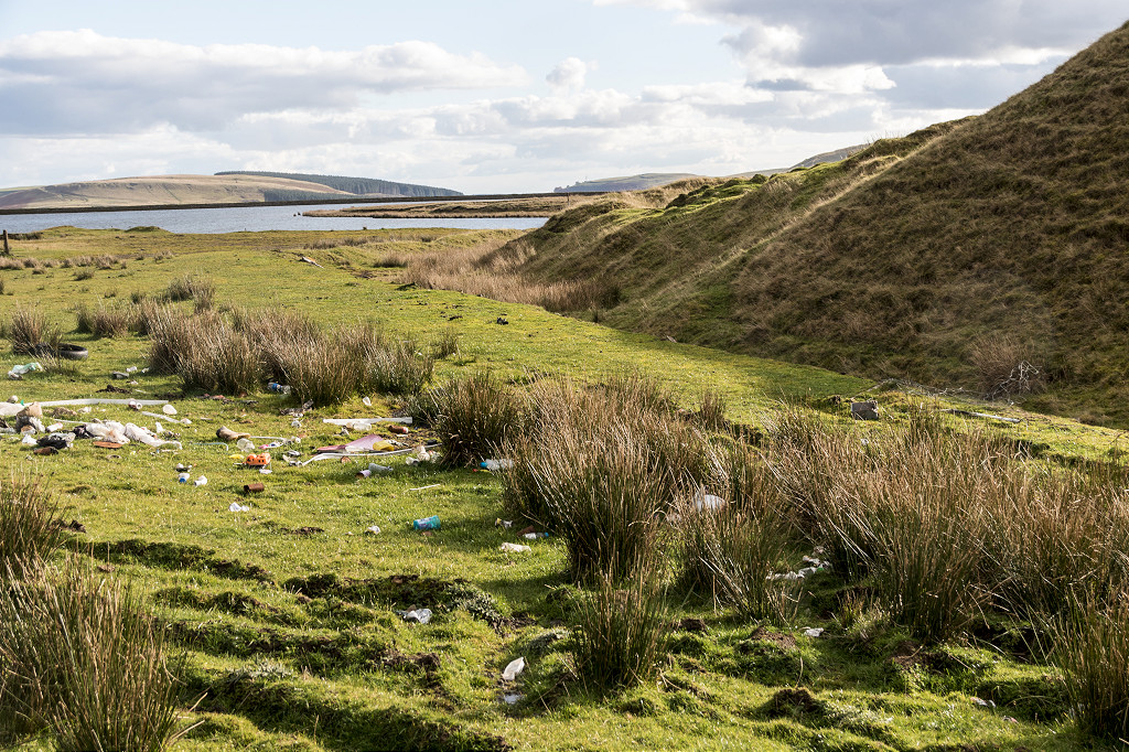
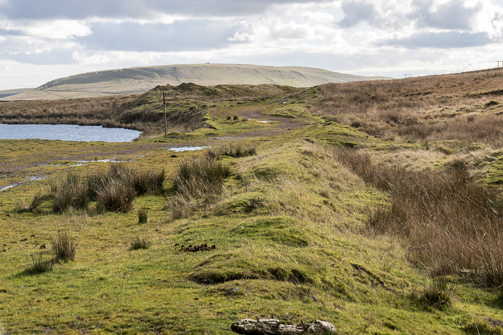
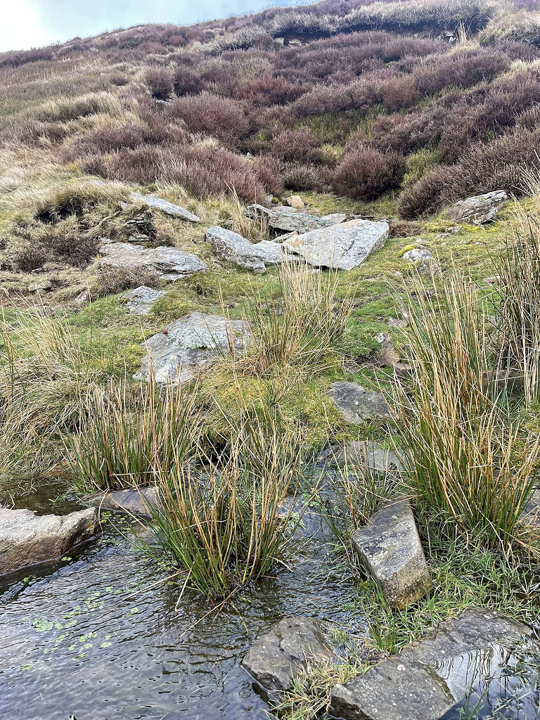
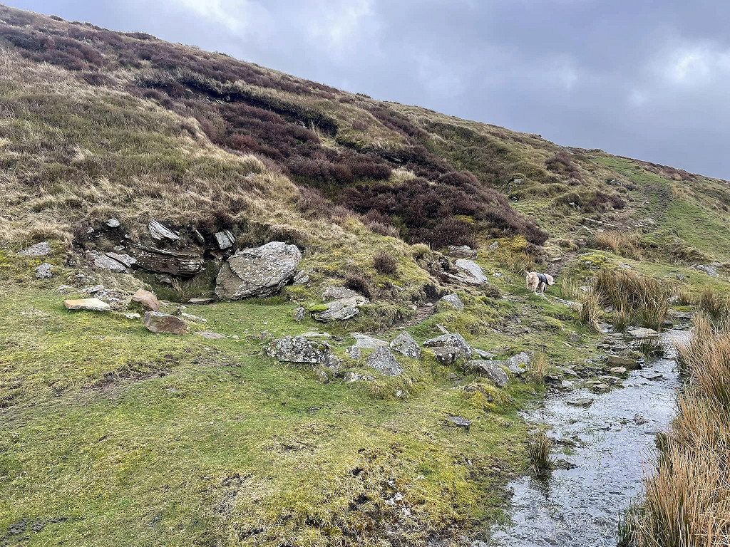
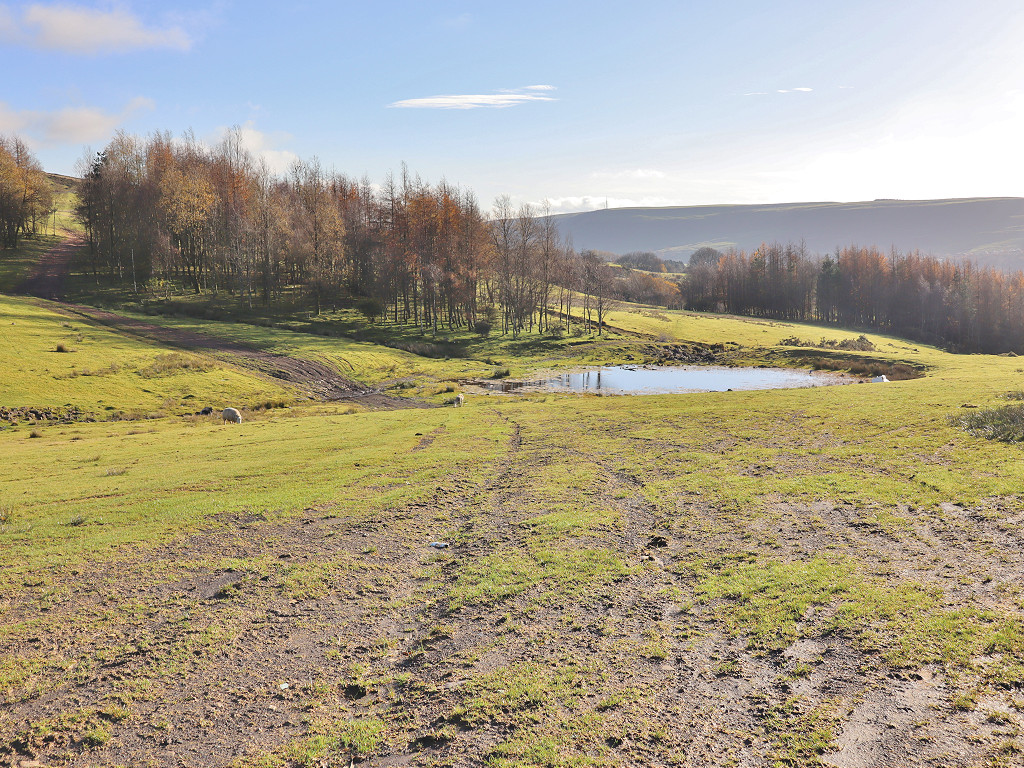
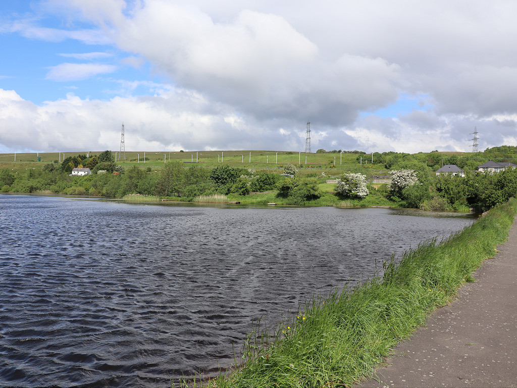
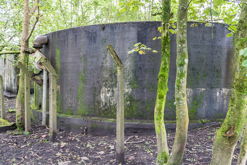
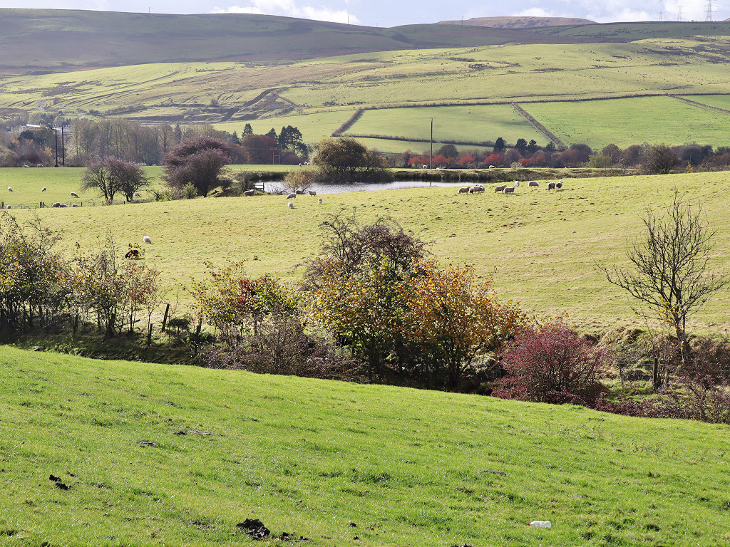
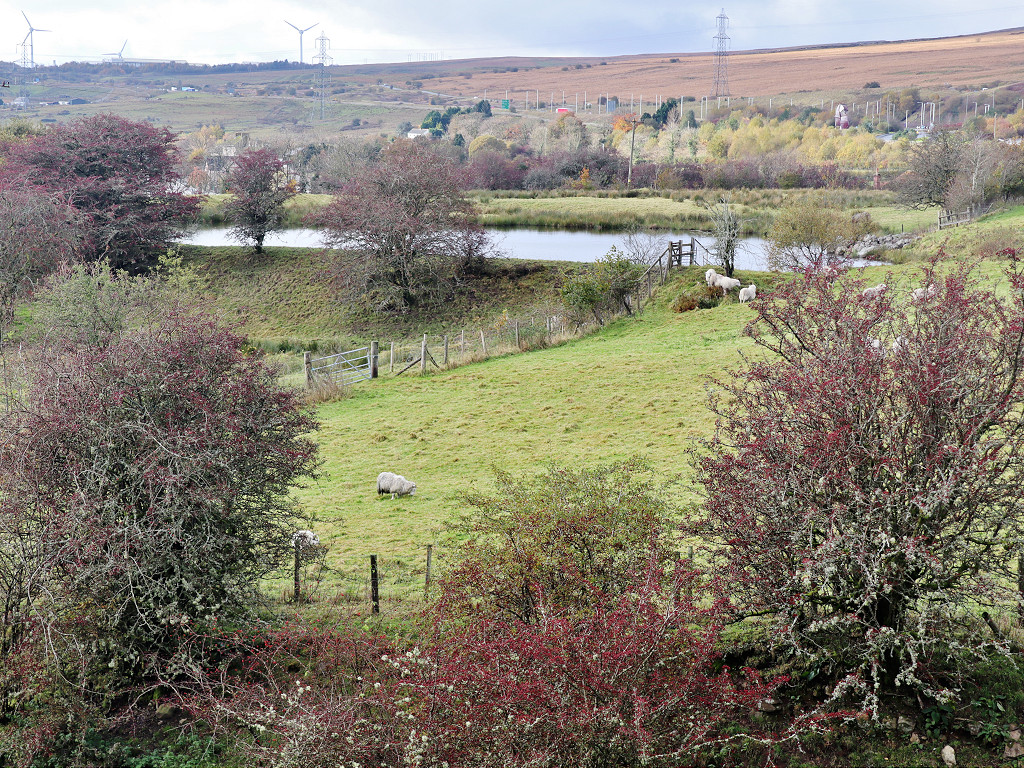
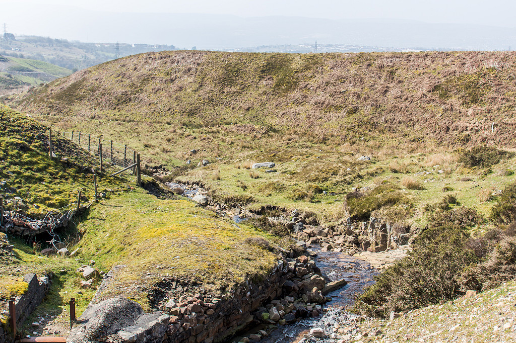
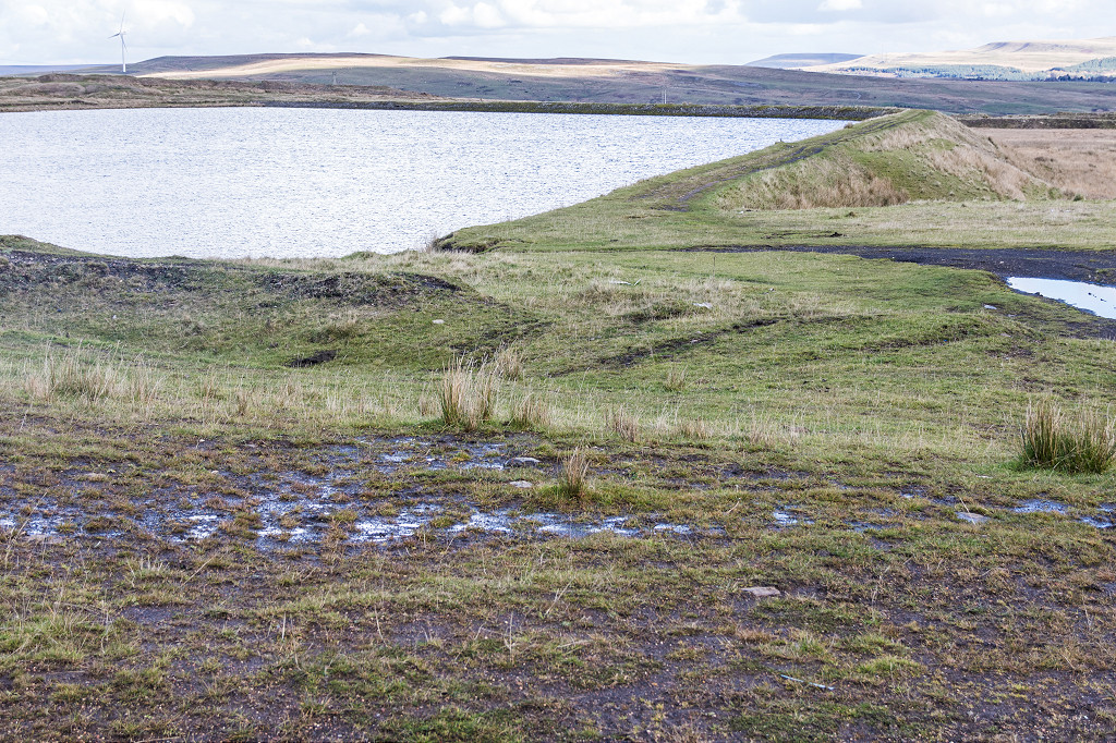 Rhaslas Pond |
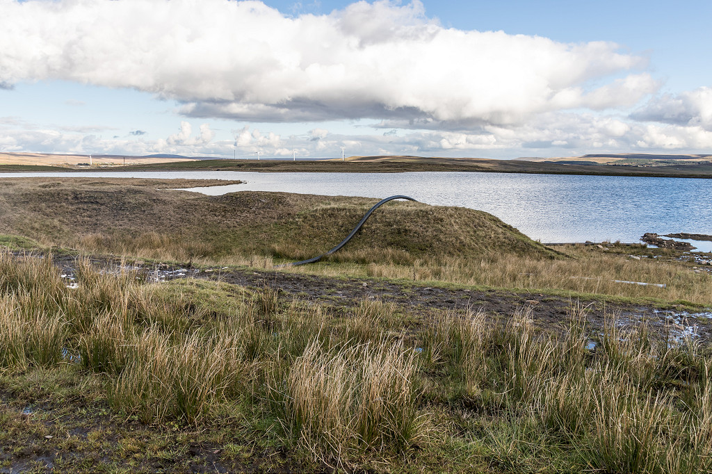 Rhaslas Pond |
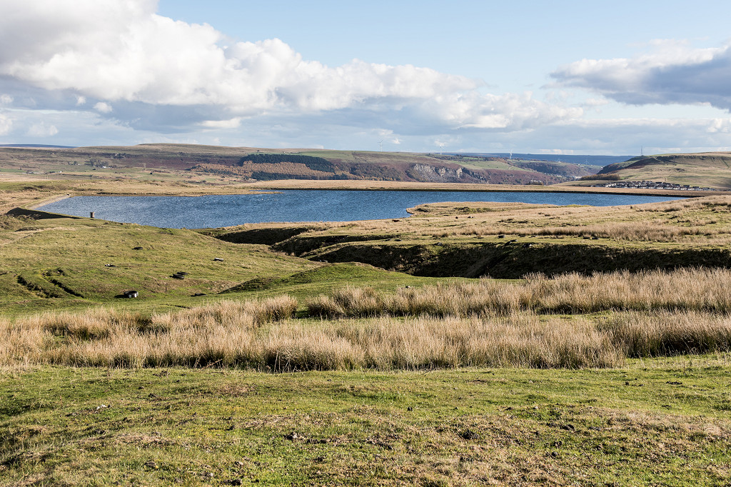 Rhaslas Pond |
|
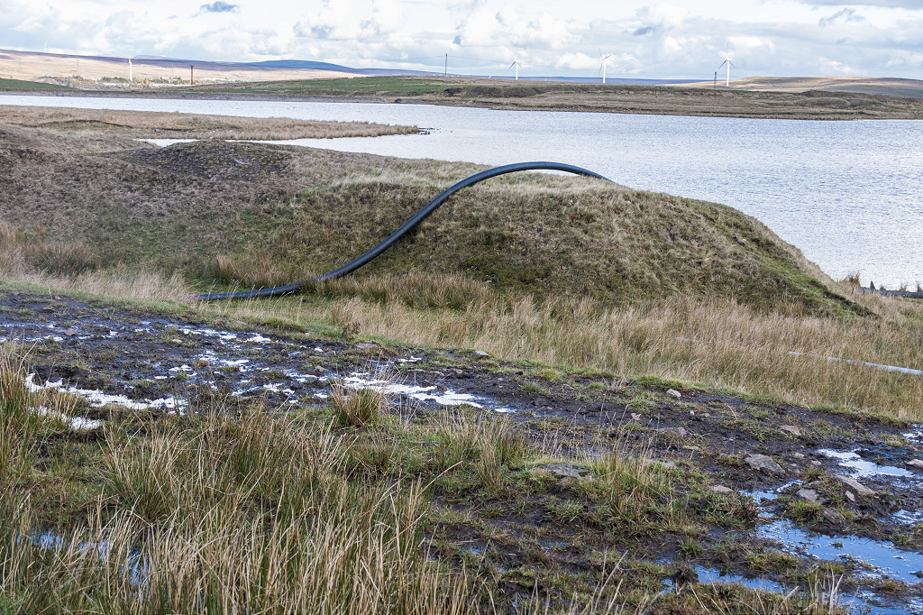
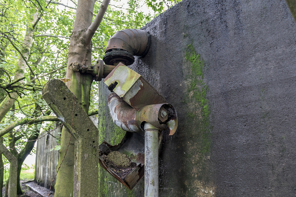
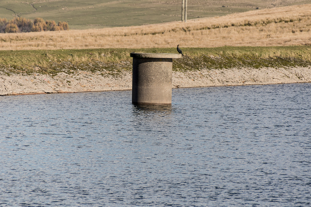 Rhaslas Pond Outtake pipe |
 Rhaslas Pond valvehouse |
 Rhaslas Houses Quarry |
 Rhaslas Houses Quarry |
 Rhaslas Houses Quarry |
 Rhaslas Houses Quarry |
 Rhaslas Pit capped shaft |
 Rhaslas Pit tips |
 Rhaslas Pit tips |
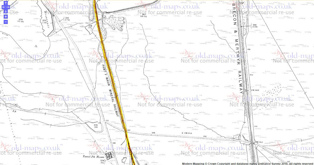
 Tunnel Pit Houses |
 Tunnel Pit Houses |
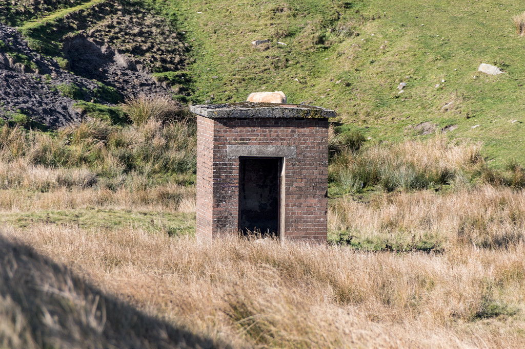
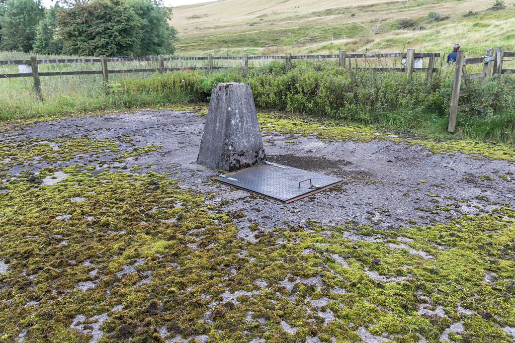
 Shepherds Pond valvehouse |
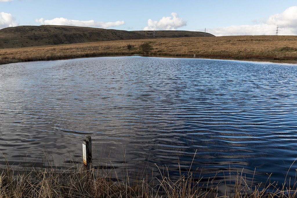 Shepherds Pond |
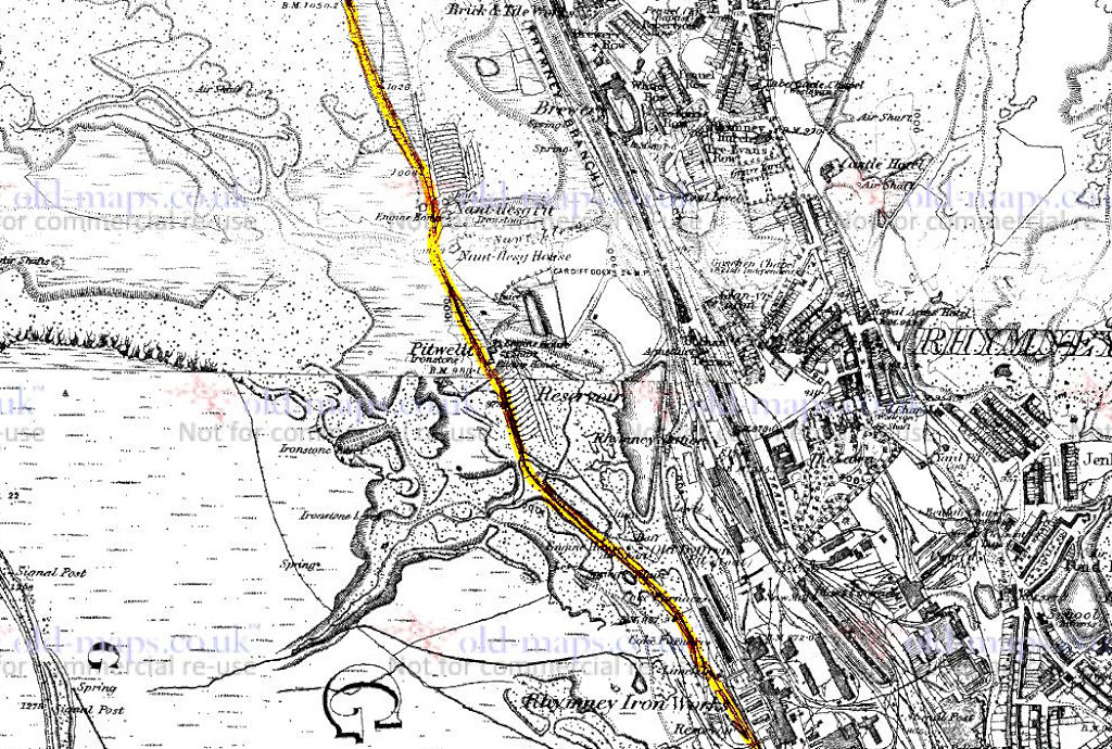
 Pant-y-Waun mineral railway,1875 |
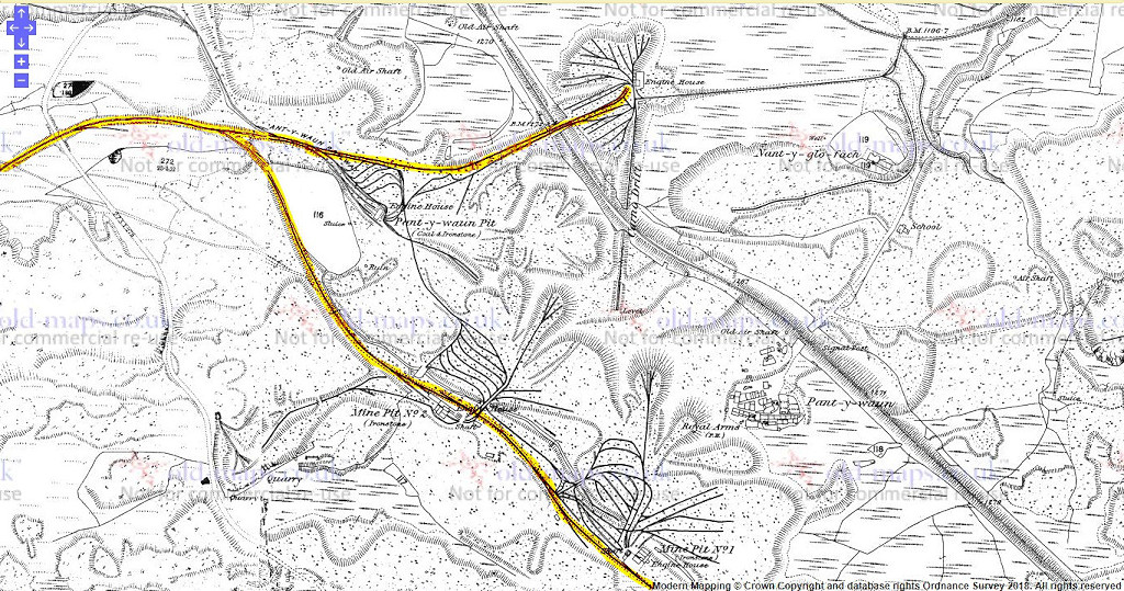 Pant-y-Waun mineral railway,1875 |
 Pant-y-Waun mineral railway,1875 |
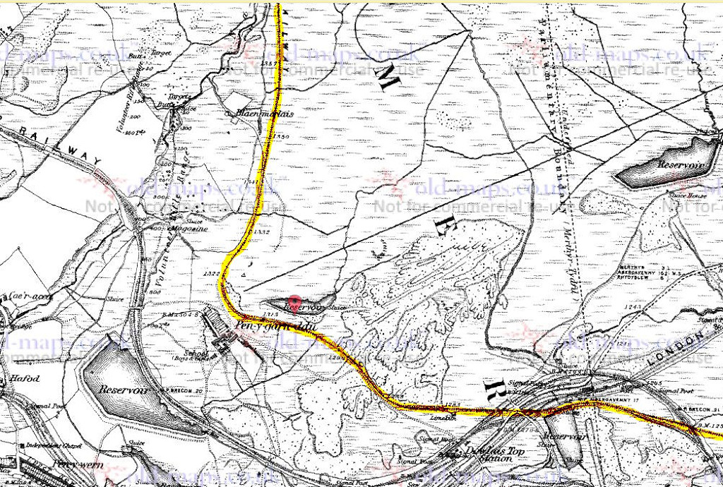
 Pant-y-Waun mineral railway, 1919 |
 Pant-y-Waun mineral railway, 1919 |
 Pant-y-Waun mineral railway, 1919 |
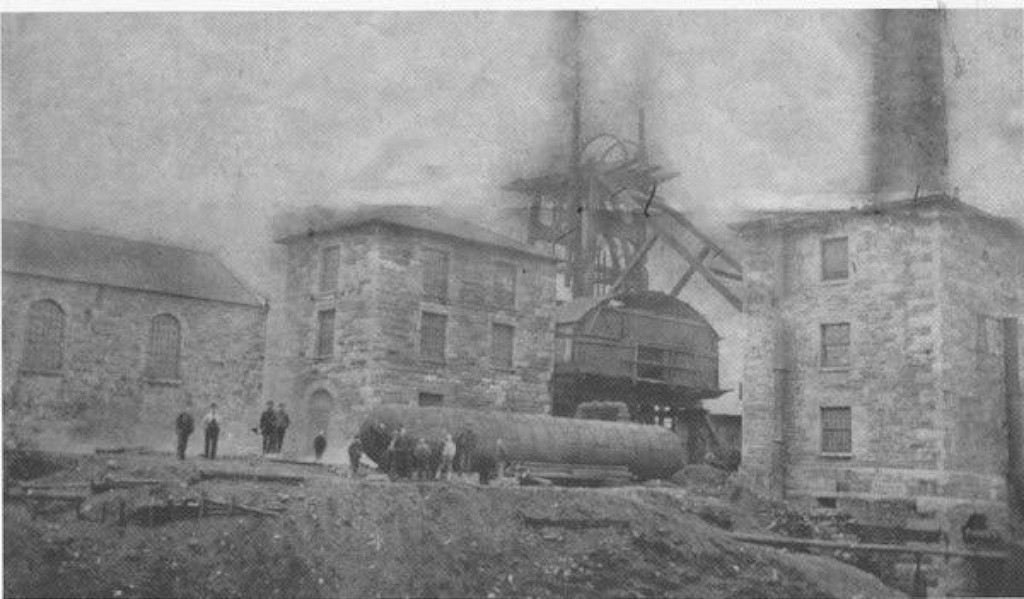 Tunnel Pit |
 Tunnel Pit |
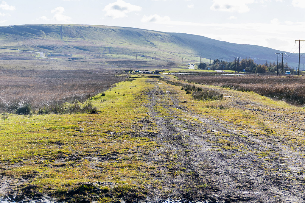 Pant-y-Waun Mineral Railway |
 Pant-y-Waun Mineral Railway |
 Pant-y-Waun Mineral Railway |
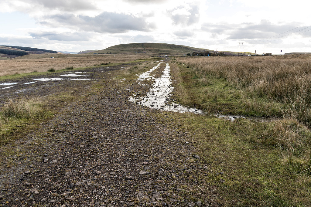 Pant-y-Waun Mineral Railway |
 Pant-y-Waun Mineral Railway |
 Pant-y-Waun Mineral Railway |
 Pant-y-Waun Mineral Railway |
 Pant-y-Waun Mineral Railway |
 Pant-y-Waun Mineral Railway |
 Pant-y-Waun Mineral Railway |
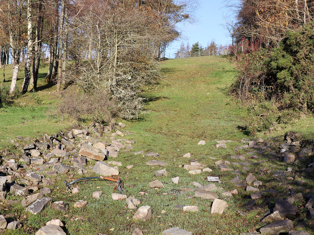
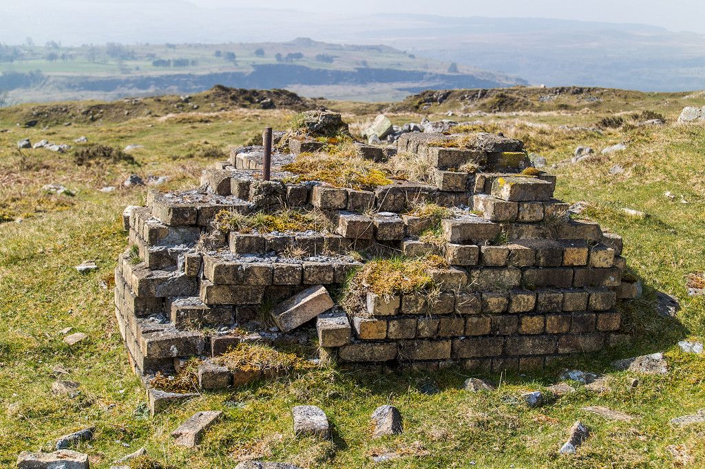
 Lower Four Feet Pit |
 Lower Four Feet Pit |
 Tramway chair and cill at pit |
 Tramway chair and cill at pit |
 Lower Four Feet Pit cable roller |
 Lower Four Feet Pit lower pond |
 Lower Four Feet Pit tramway |
 Lower Four Feet Pit tramway |
 Lower Four Feet Pit tramway |
 Lower Four Feet Pit upper pond |
 Lower Four Feet Pit shaft |
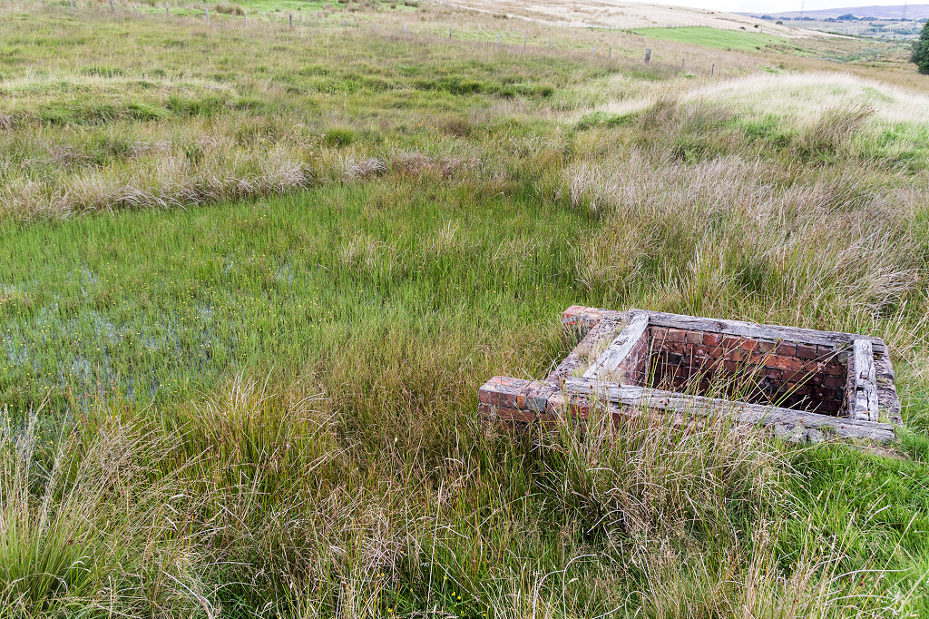
 Mount Pleasant level |
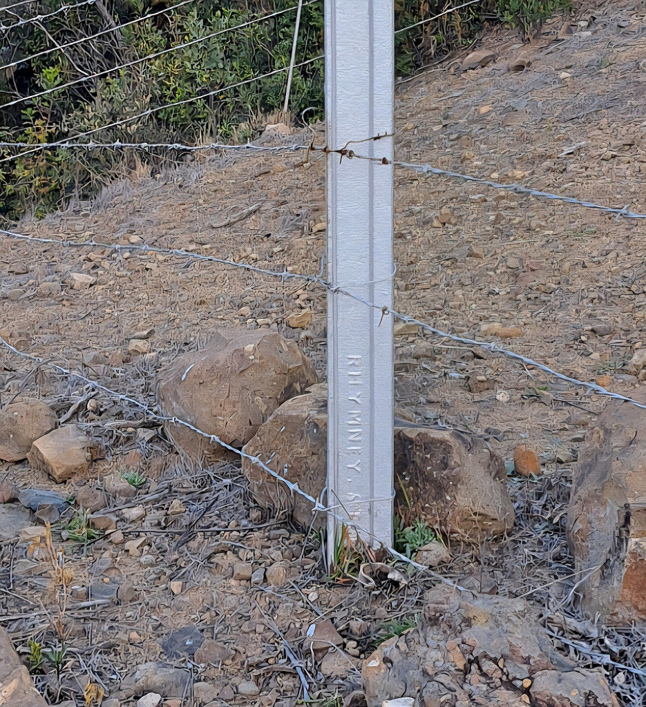
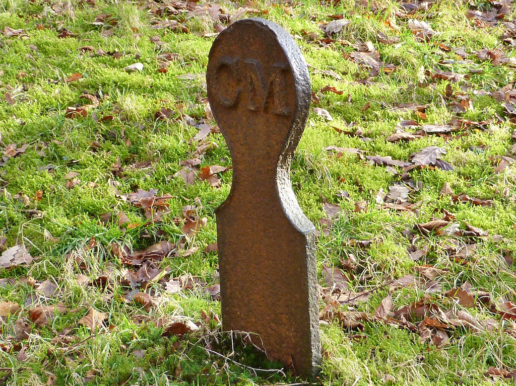 Cwm Syfiog boundary marker 'CM' |
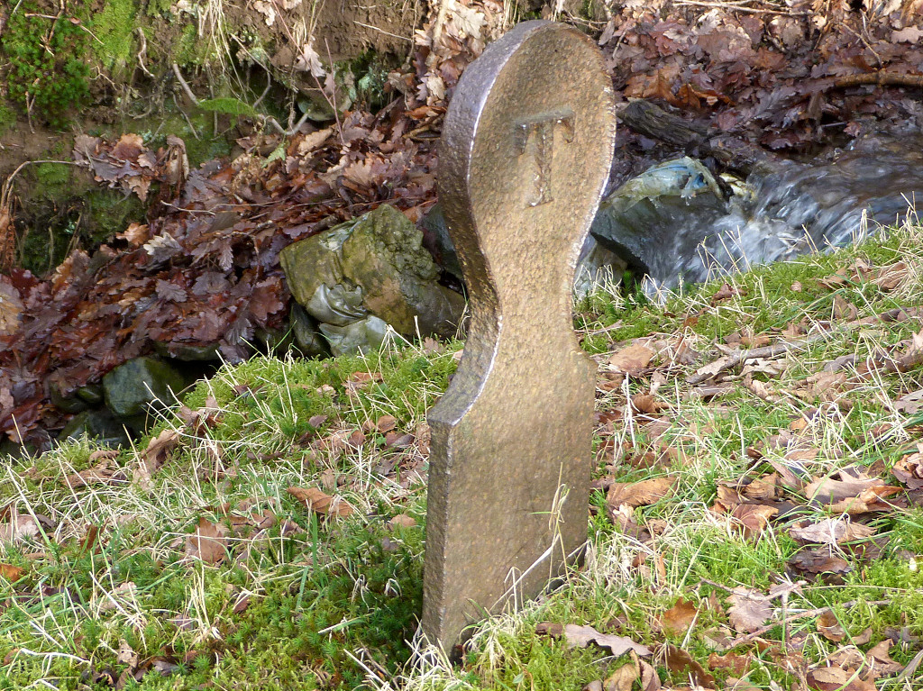 Cwm Syfiog boundary marker 'T' |
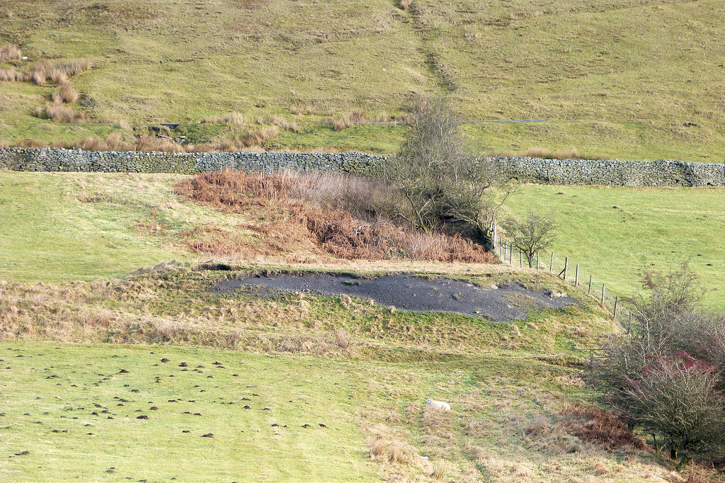
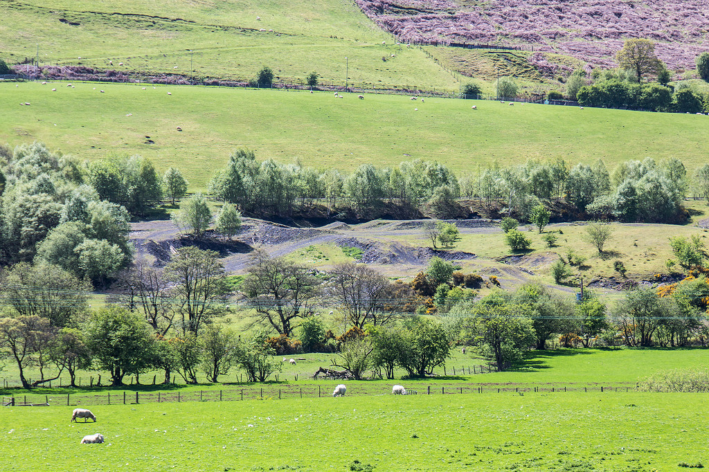
 Cwm Syfiog quarry tips |
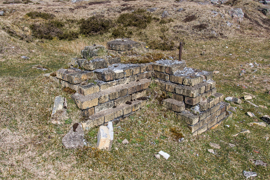
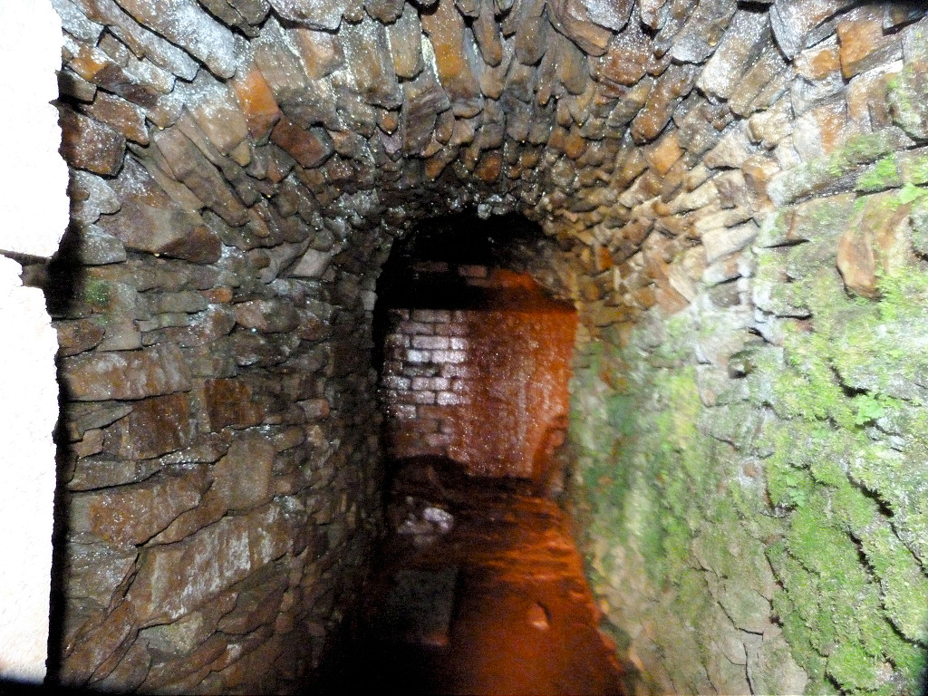 Dafalog level, New Tredegar |
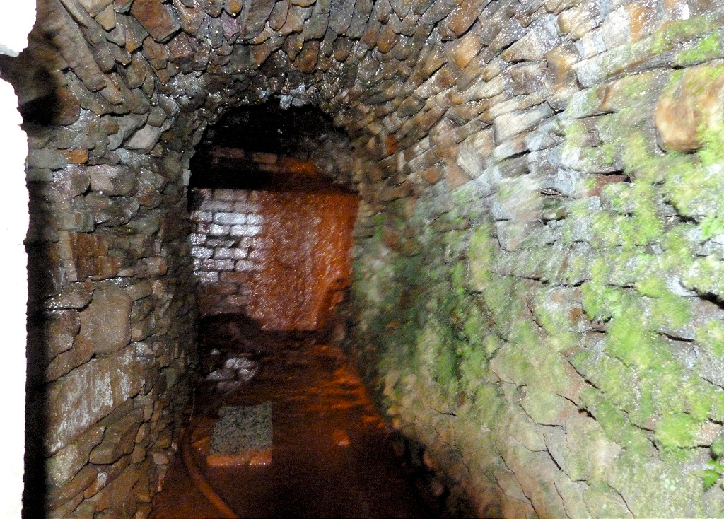 Dafalog level interior |
 Dafalog level interior |
|
 Elliots Colliery tips |
 Elliots Colliery tips |
||
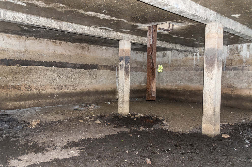
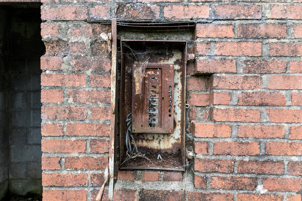
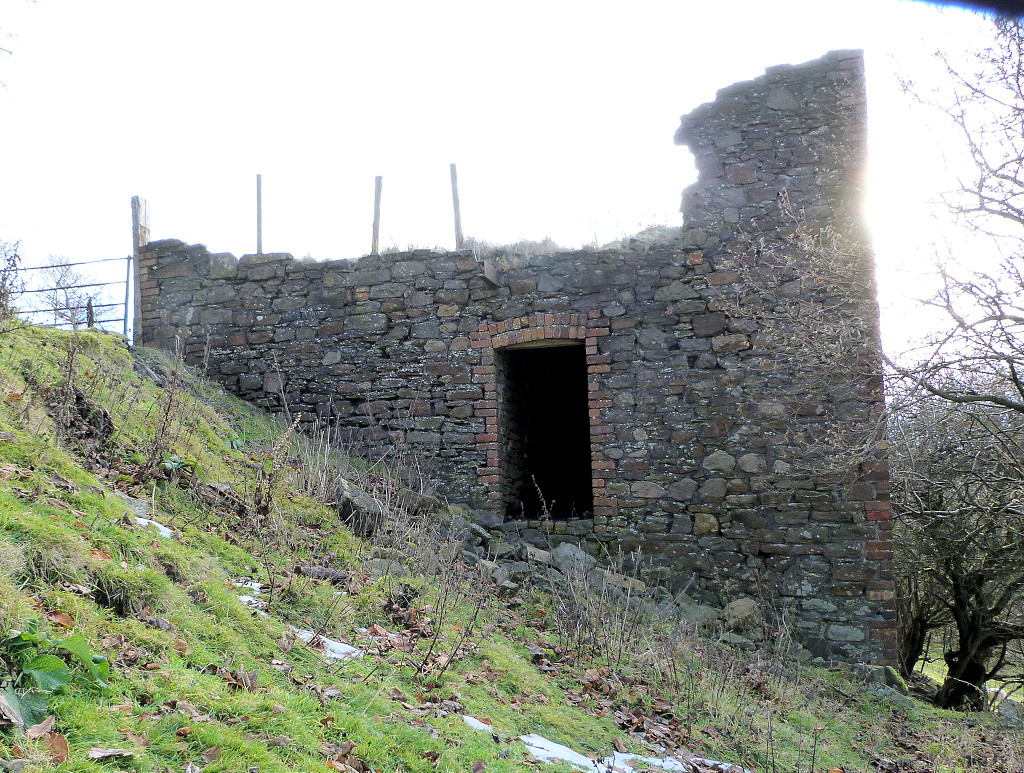 Phillipstown engine house |
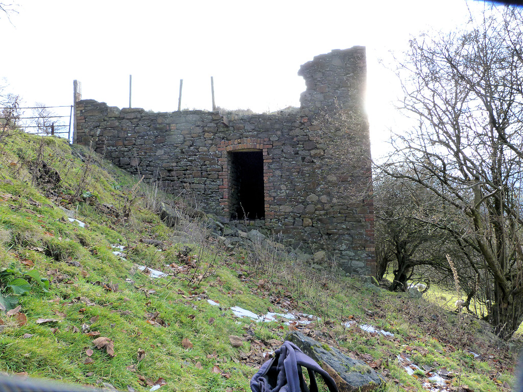 Phillipstown engine house |
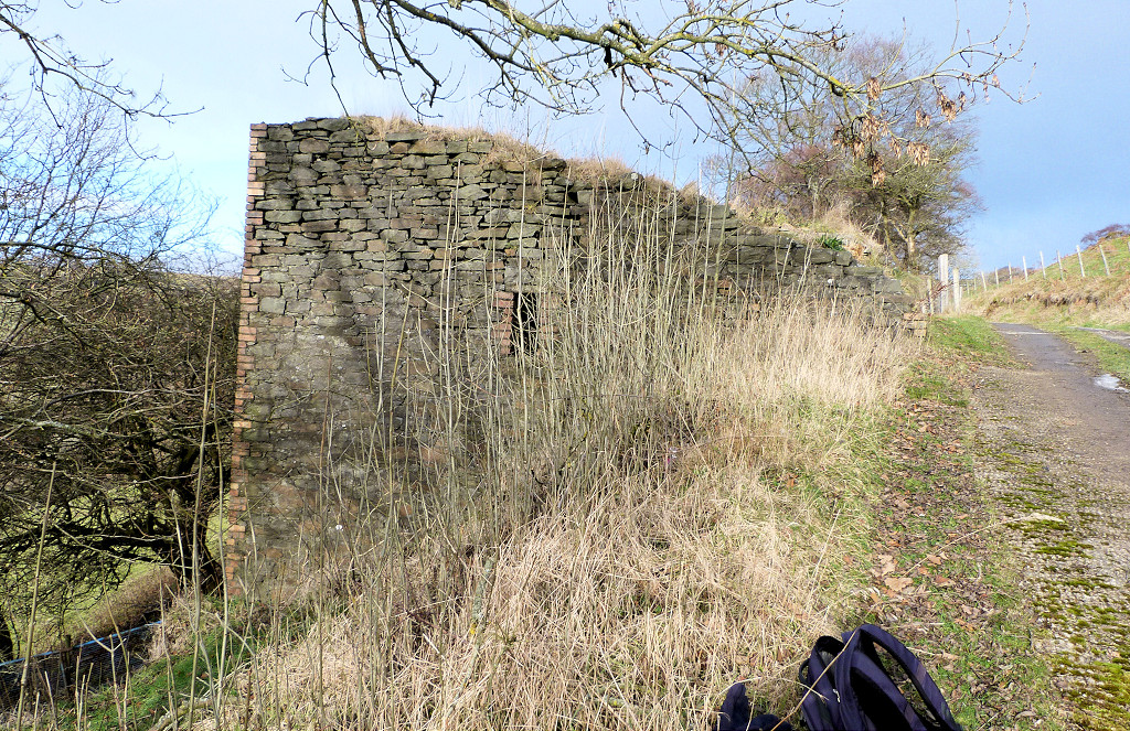 Phillipstown engine house |
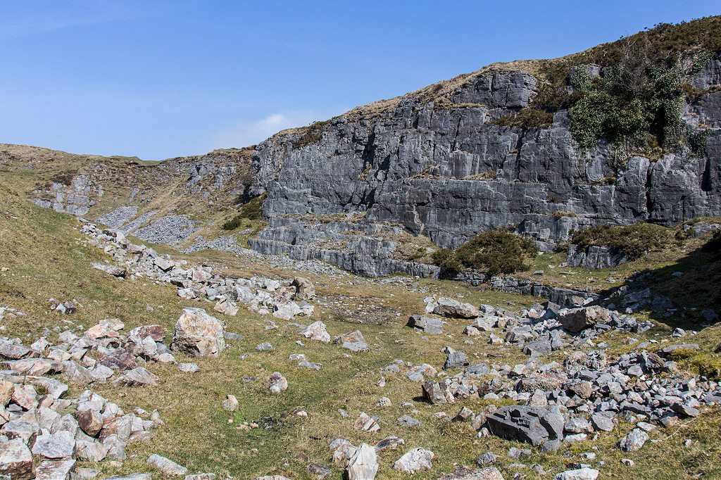
 Tir-phil Rising Sun quarry |
 Tir-phil Graig Rhymney quarries |
 White Rose Colliery in a cupboard |
 White Rose Colliery tramway |
 White Rose Colliery tramway |
 White Rose Colliery lower level |
 White Rose Colliery upper level |
 White Rose Colliery upper level |
 White Rose Colliery quarry |
 White Rose Colliery quarry incline |
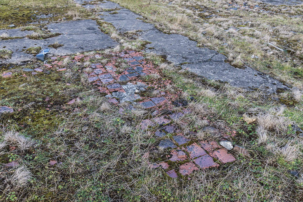
 Trackbed to New Tredegar station |
 New Tredegar Colliery quarry |
 New Tredegar Colliery quarry |
 New Tredegar Colliery quarry |
 New Tredegar Colliery quarry |
 New Tredegar Colliery quarry |
 New Tredegar Colliery quarry |
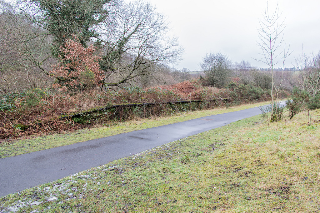
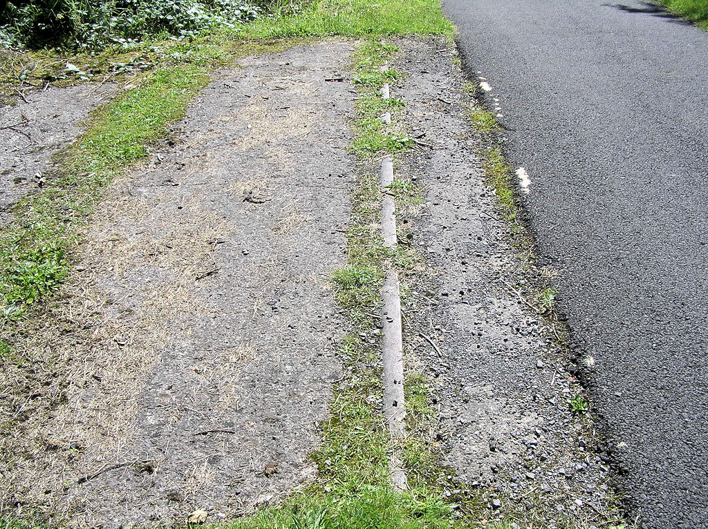
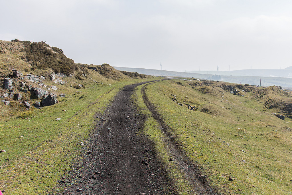
 BMR trackbed, Abertysswg |
 A secret invasion by the LYR |
 The site of McLarens No 1 Colliery |
 Bricked-up viaduct over tramway |
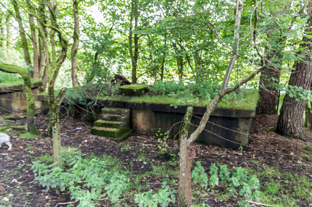
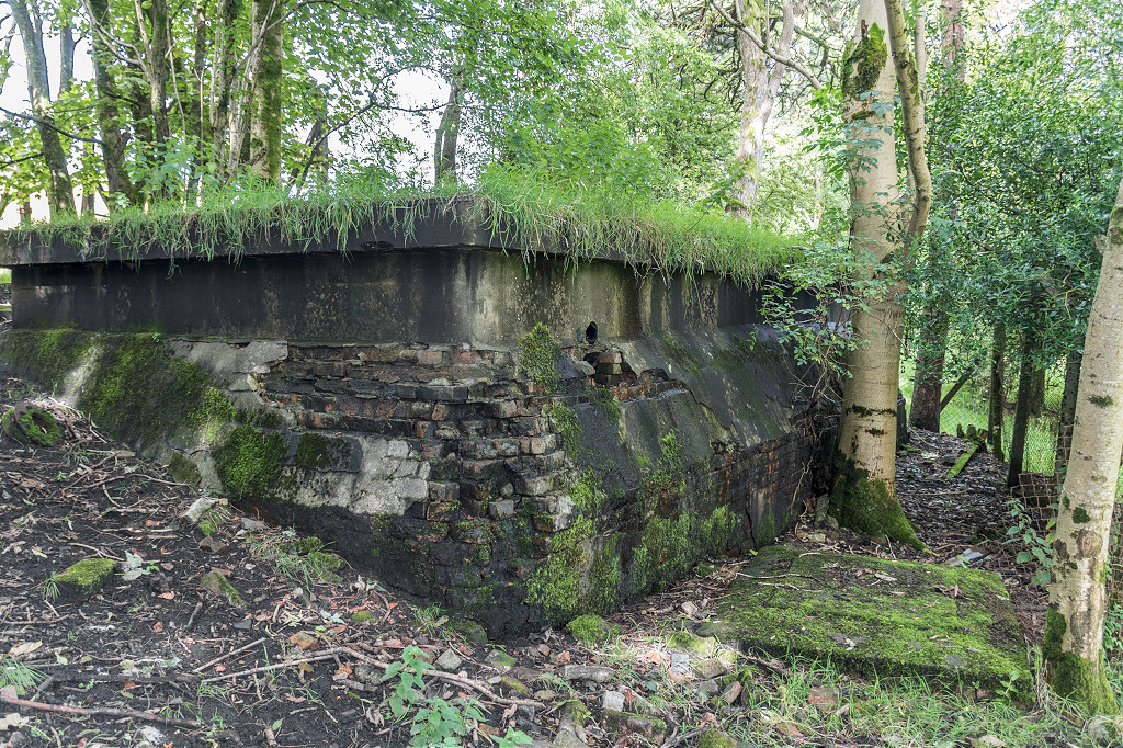
 Lloyds or Quarry Level, 1958 |
 Lloyds or Quarry Level |
 Lloyds or Quarry Level |
 Lloyds or Quarry Level |
 Lloyds or Quarry Level |
 Lloyds or Quarry Level |
 Lloyds or Quarry Level |
 Lloyds or Quarry Level |
 Troedrhiwfuwch bridge |
 Troedrhiwfuwch bridge |
 Troedrhiwfuwch tramways |
Foundations near Gwrhyd Pit |
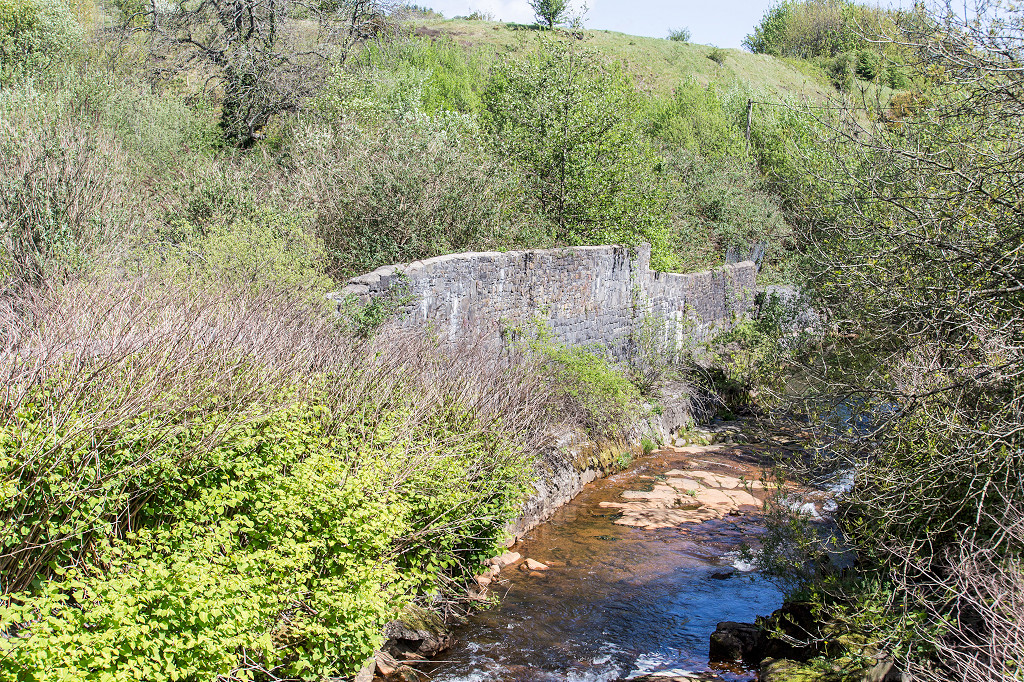
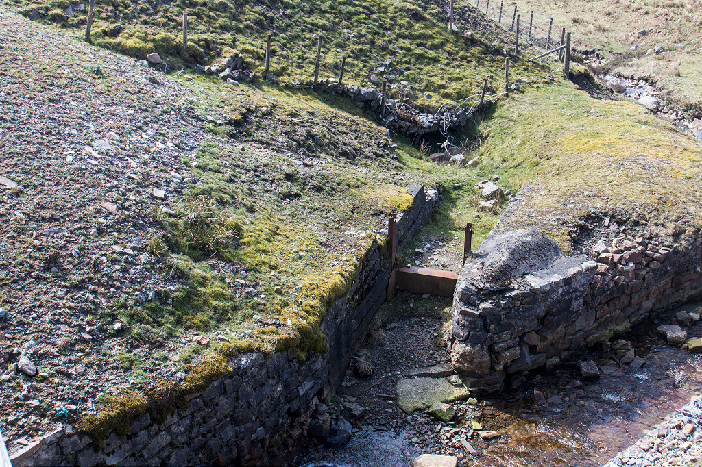
 Rhymney Merthyr Colliery weir |
 Rhymney Merthyr Colliery weir |
 Rhymney Merthyr Colliery site |
 Rhymney Station BMR, Pontlottyn |
 Rhymney Station BMR, Pontlottyn |
Rhymney Railway link to Collieries |
 Rhymney Pit loading dock columns |
 Gasworks river wall |
 Mclaren Colliery winding wheels |
 Pontlottyn Viaduct from East |
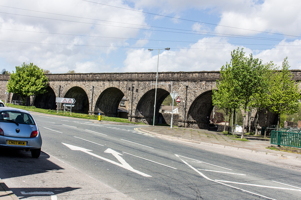 Pontlottyn Viaduct from West |
 An old iron ore quarry on Bryn-oer |
 An old iron ore quarry on Bryn-oer |
 An old iron ore quarry on Bryn-oer |
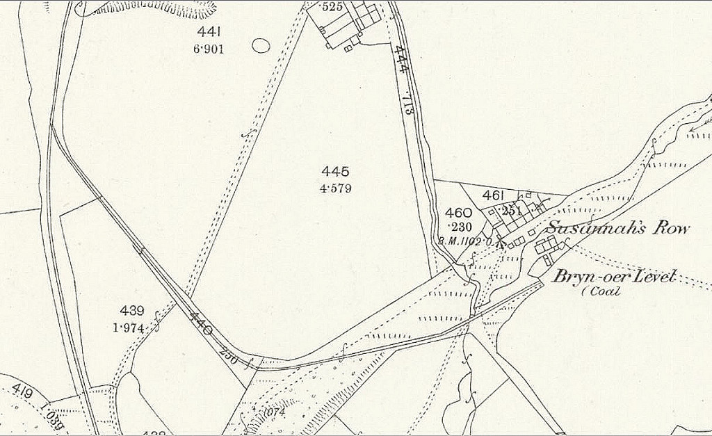 Bryn-oer Level and Suzannah's Row |
 The site of Bryn-oer Level |
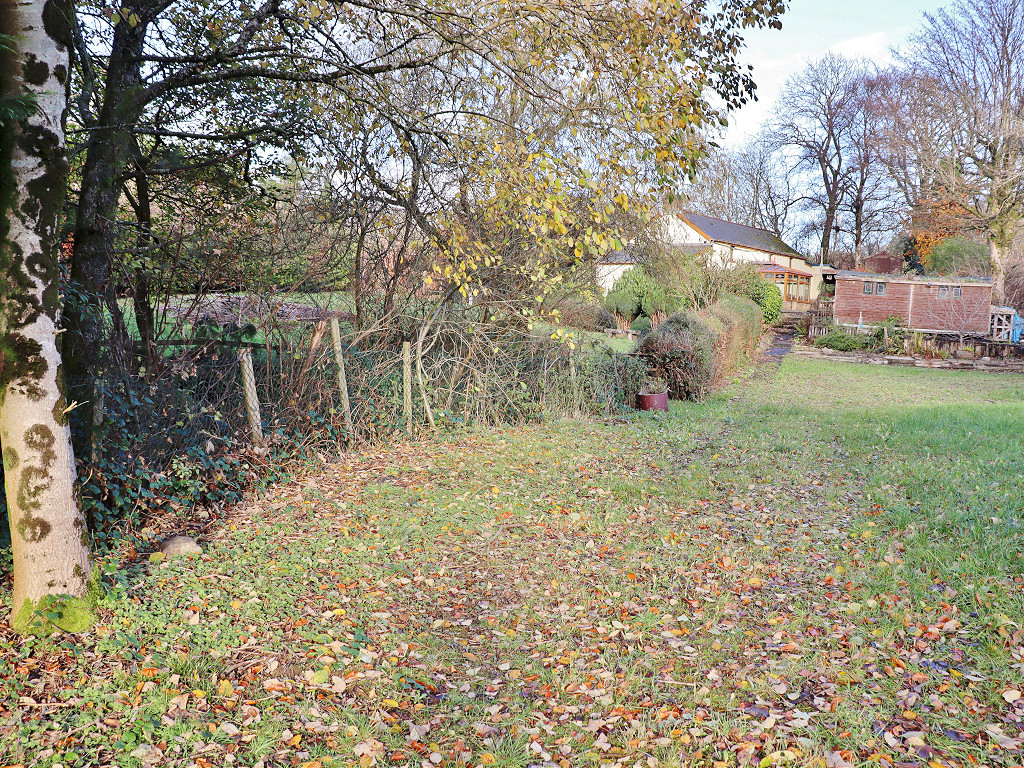
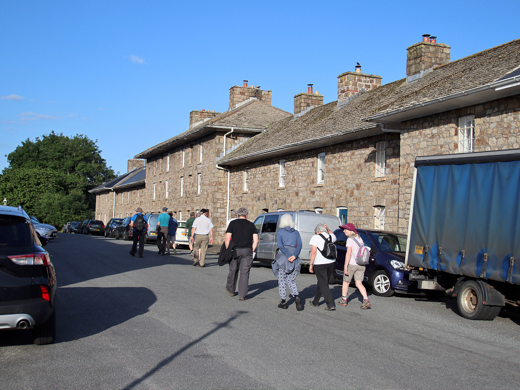
 Suzannah's Row, Rhymney |
 Suzannah's Row, Rhymney |
 Suzannah's Row, Rhymney |
 Suzannah's Row, Rhymney |
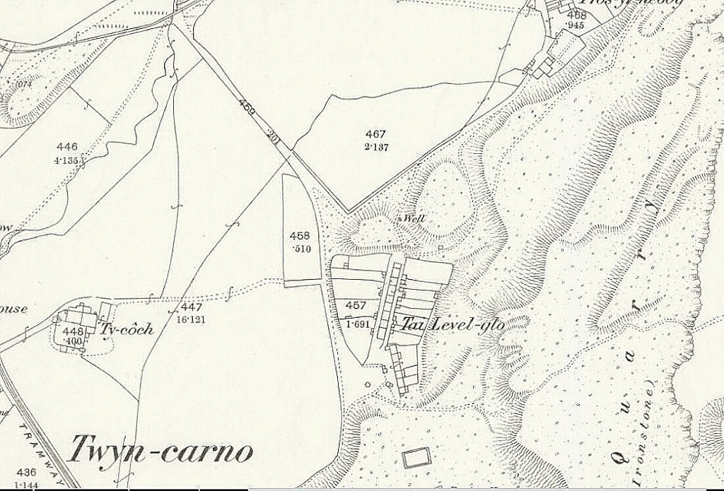 Tai-level-glo,1877 |
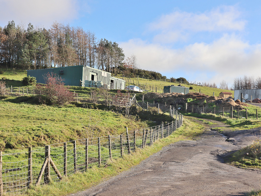 The site of Tai-Level-Lo |
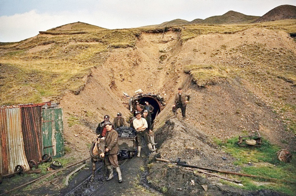 Mining at Tai-Level-Lo in 1965 |
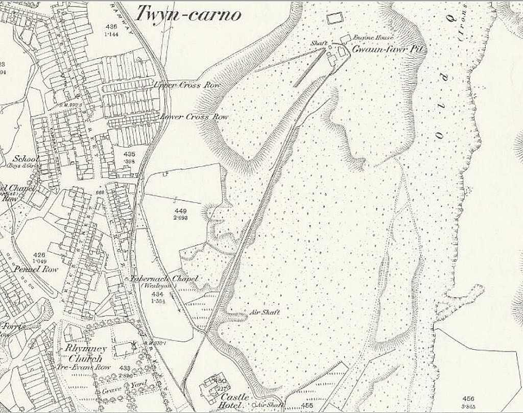 Gwaun-fawr Pit, 1877 |
 The site of Waun-Fawr Pit |
 The site of Waun-Fawr Pit |
|
 Waun-Fawr Pit incline |
 Waun-Fawr Pit incline |
 Waun-Fawr Pit incline |
 Airshaft on Waun-Fawr Pit incline |
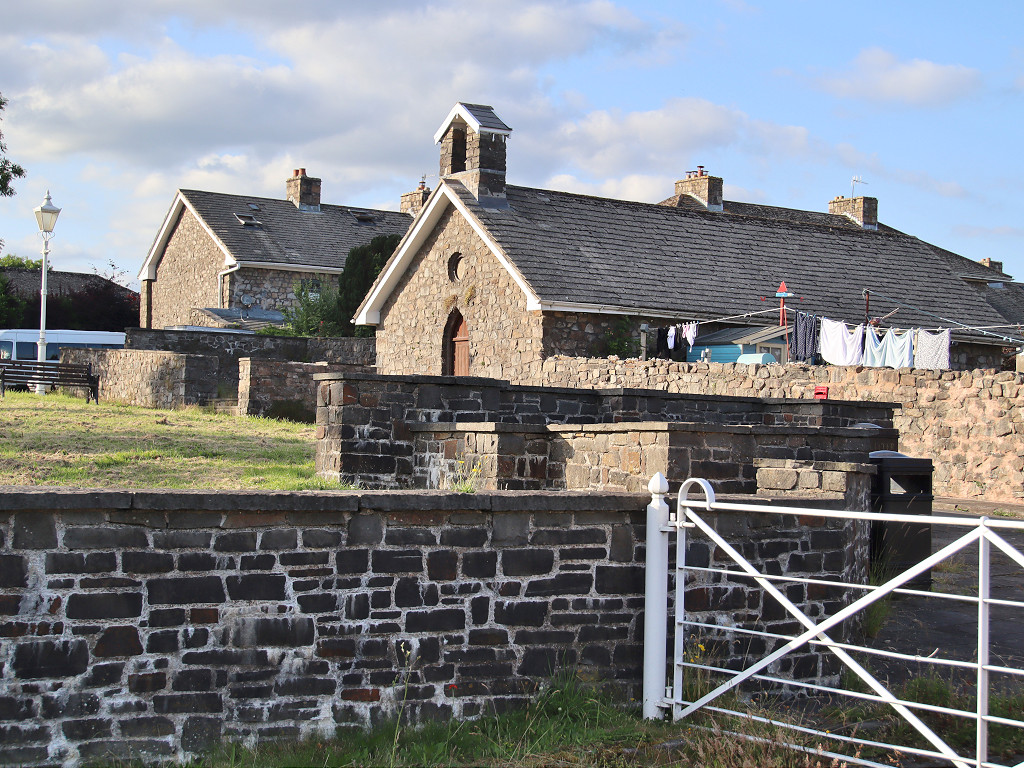 Bute Town, Rhymney |
 Bute Town, Rhymney |
 Bute Town, Rhymney |
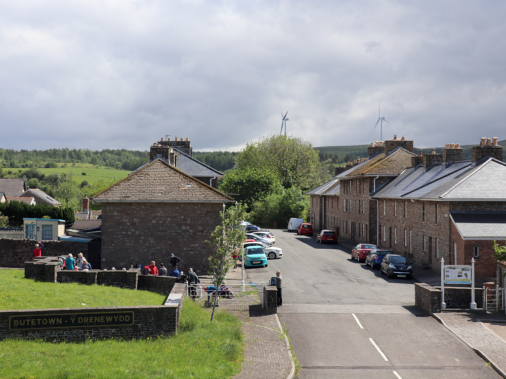 Bute Town, Rhymney |
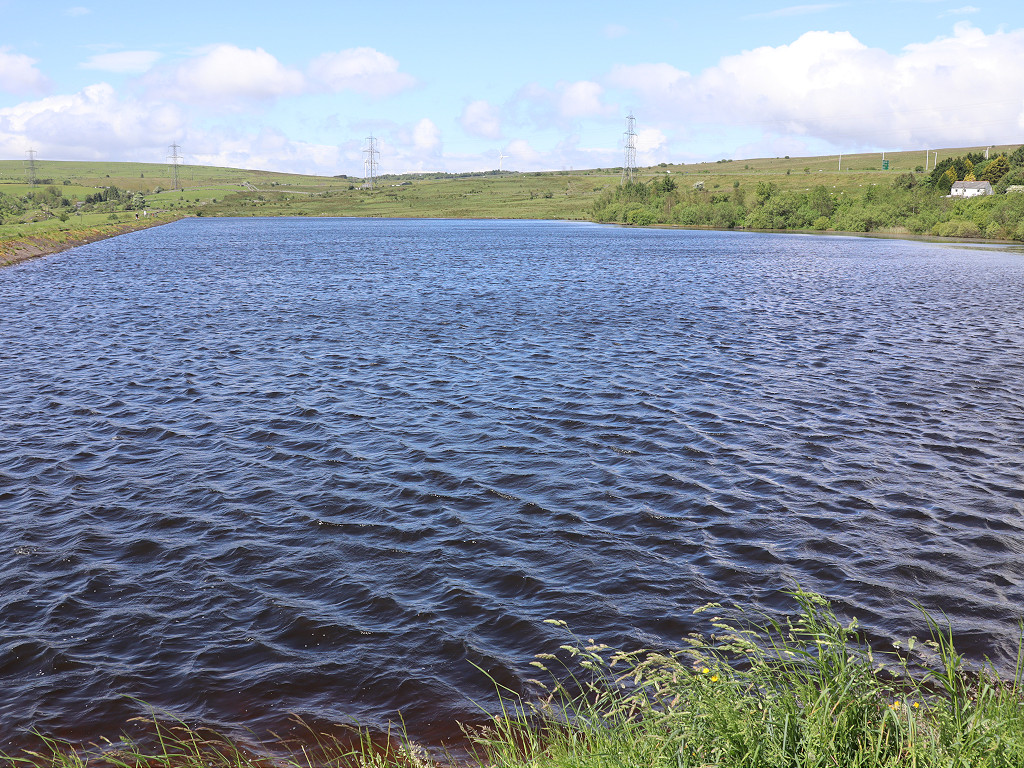 Bute Town reservoir, Rhymney |
 Bute Town reservoir, Rhymney |
 The LNWR/GWR trackbed |
 The LNWR/GWR trackbed |
 The LNWR/GWR trackbed |
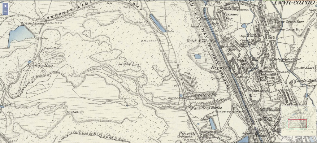 Nant Llesg, 1875 |
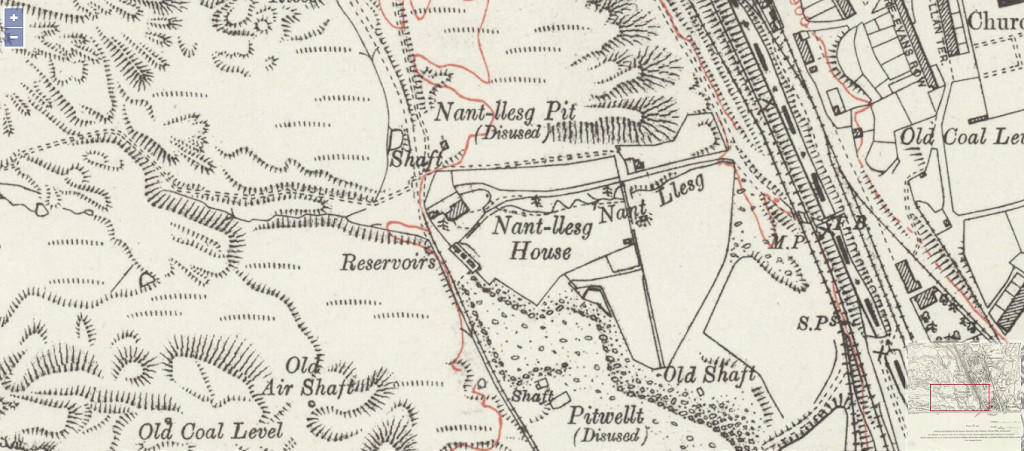 Nant Llesg, 1915 |
||
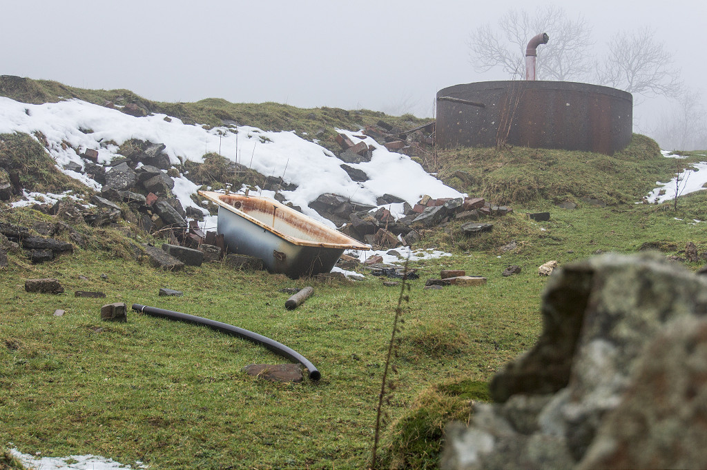
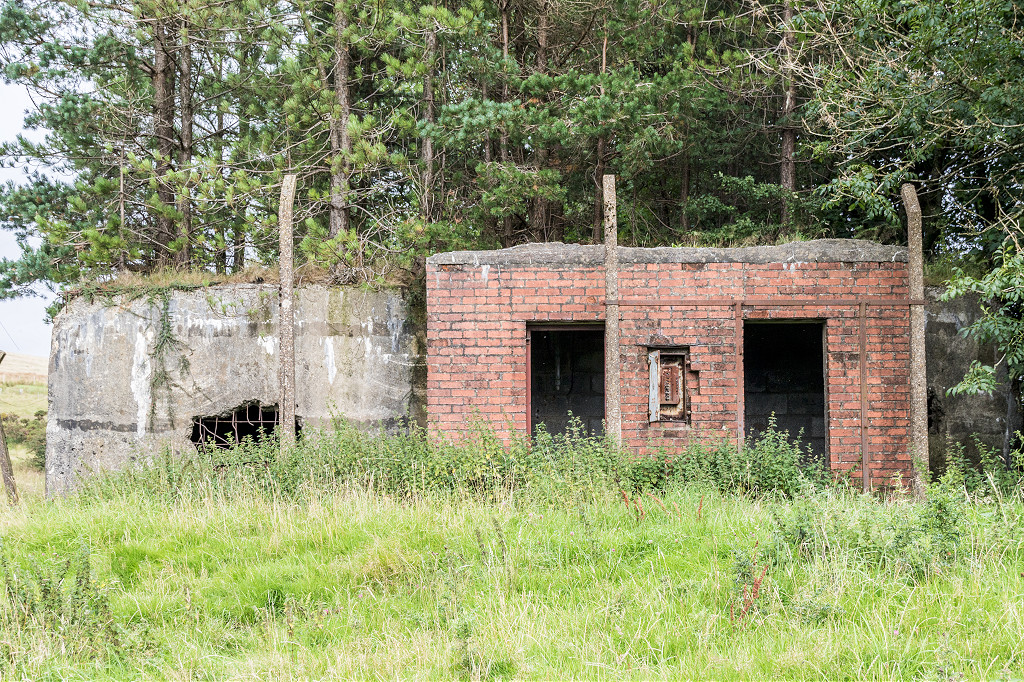 Water tank building |
 Water tank building |
 Water tank building |
 Water tank building |
 Small square tanks |
 Small square tanks |
 Small square tanks |
|
 Large round tank |
 Large round tank |
 Nant Llesg ironstone shaft |
 Reservoir at the ironstone shaft |
 Bryn Pyllog tips |
 Bryn Pyllog tips |
 Rhymney town tramways, 1899 |
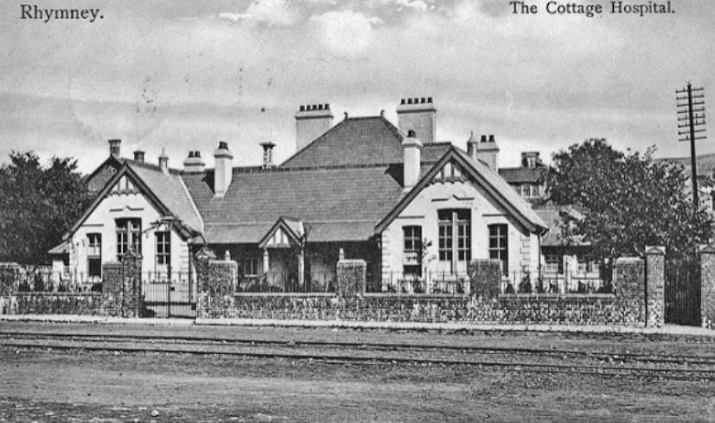 Hospital and railway line |
 Rhymney Iron Co's offices |
 Rhymney rail at Rorkes Drift |
 Riverside tramway trackbed |
 Rhymney Station and '231 010' |
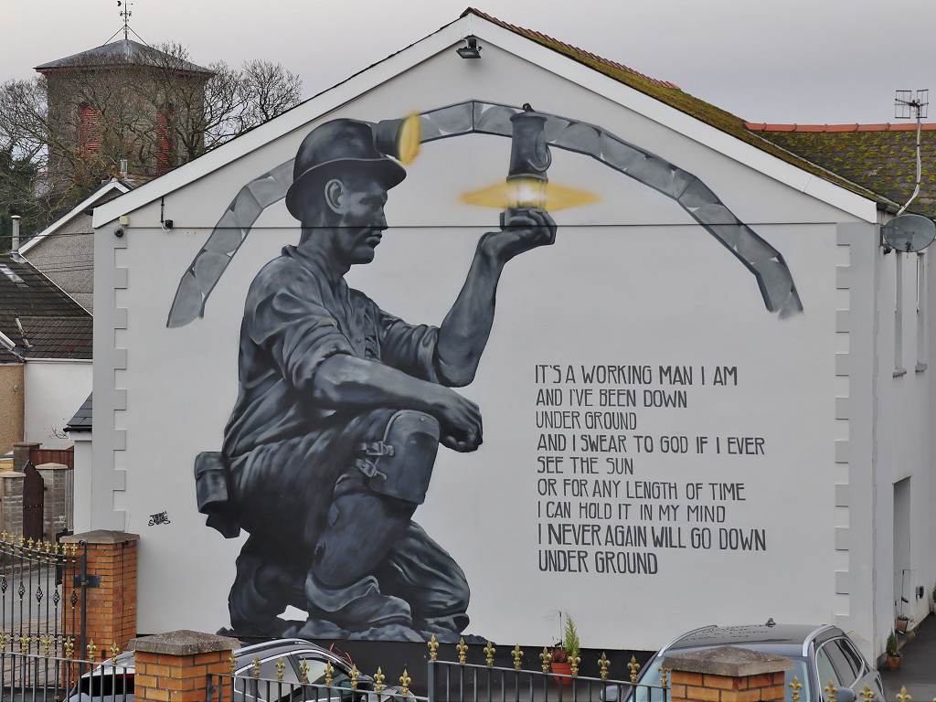 Mural on the wall of the 'Castle Hotel' |
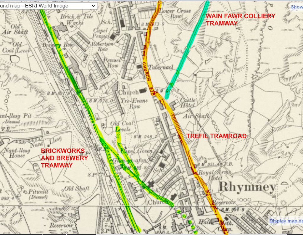
 The site of Rhymney brickworks |
 Rear of Oakridge factory, Rhymney |
 Rhymney brickworks tramway |
 Rhymney brickworks tramway |
 Rhymney brickworks tramway |
 brickworks coal levels tramway |
 Union Ironworks blast furnace |
 Union Ironworks blast furnace |
 Union Ironworks blast furnace |
 Union Ironworks blast furnace |
 Union Ironworks managers house |
 Union Ironworks noticeboard |
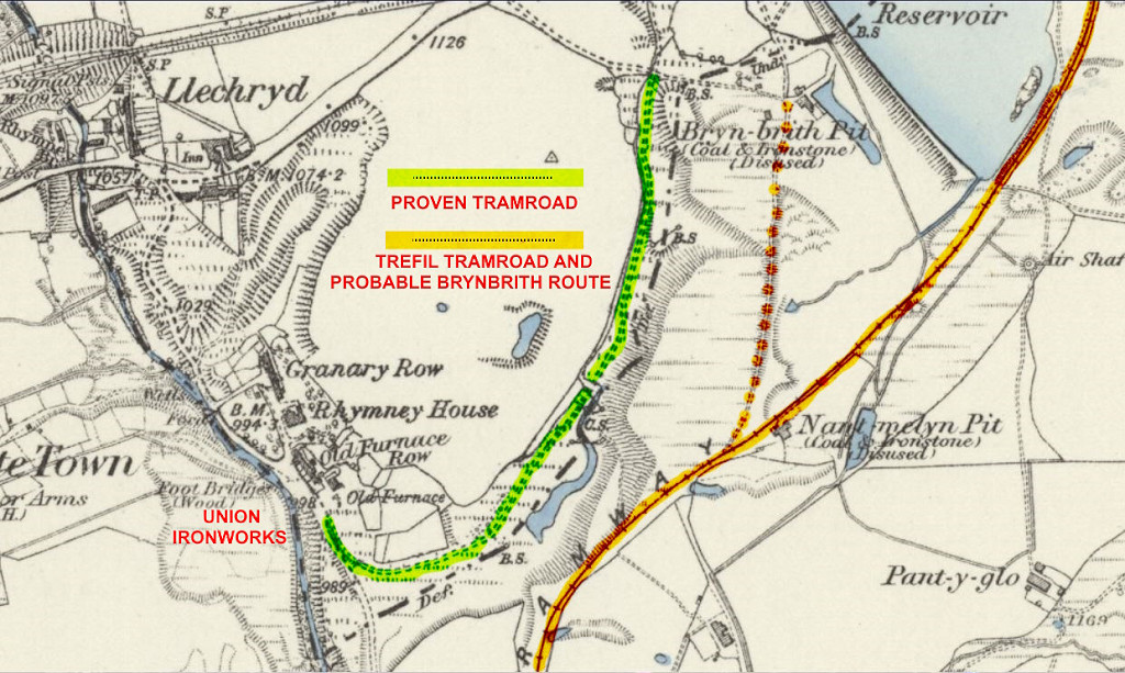 Tramroads near the Union Ironworks |
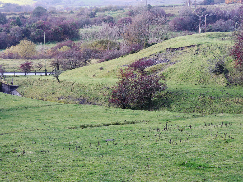 The original Tredegar Tramroad |
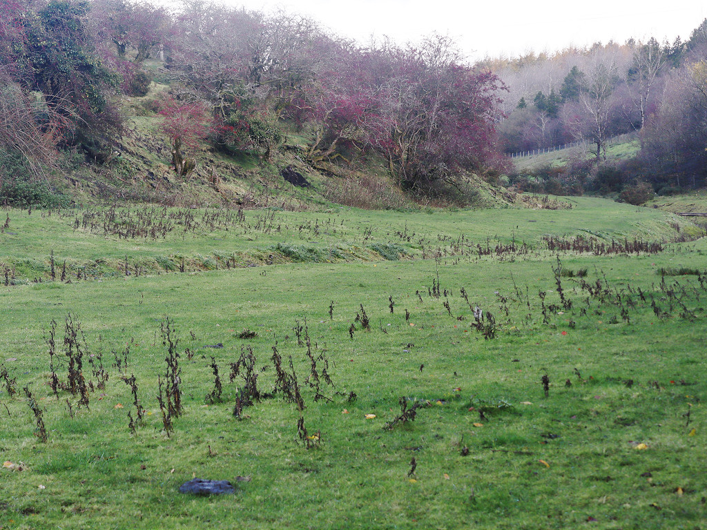 The original Tredegar Tramroad |
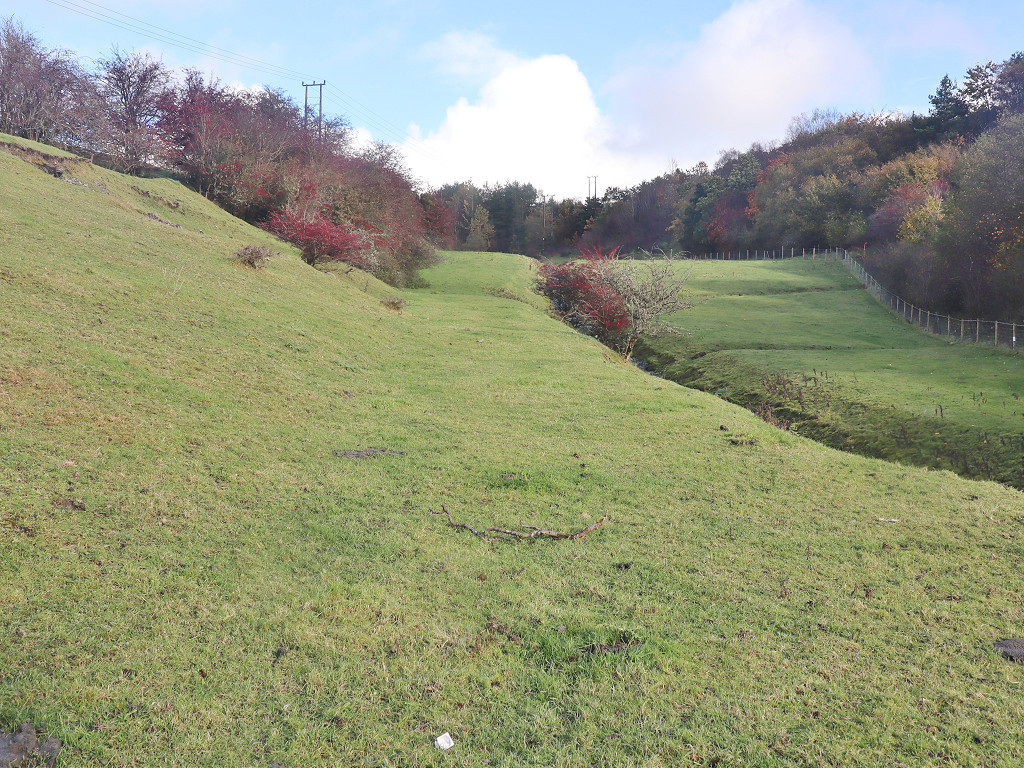 The original Tredegar Tramroad |
 The original Tredegar Tramroad |
 The original Tredegar Tramroad |
 The original Tredegar Tramroad |
 The original Tredegar Tramroad |
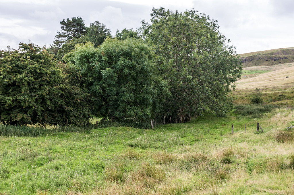
 Feeder pond near Bryn-brith |
 Feeder pond near Bryn-brith |
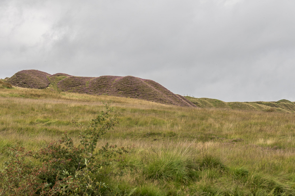
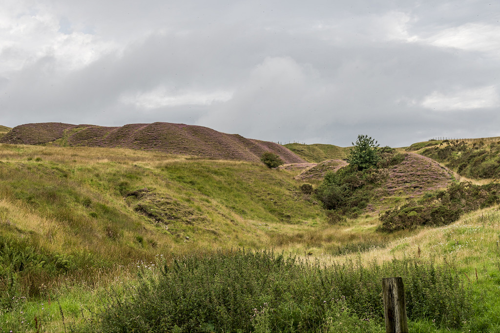
 Rhymney Limestone Railway, 1884 |
 Rhymney Limestone Railway, 1884 |
 Rhymney Limestone Railway, 1884 |
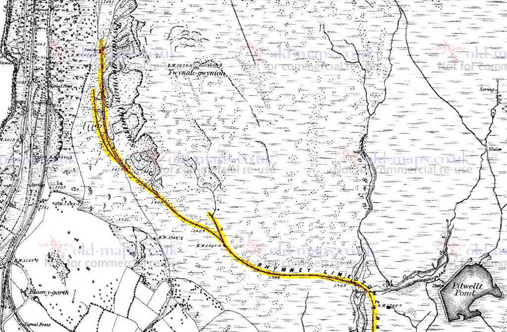 Rhymney Limestone Railway, 1884 |
 Rhymney Limestone Railway |
 Rhymney Limestone Railway |
 The railway behind Asda |
 The railway at Pengarnddu |
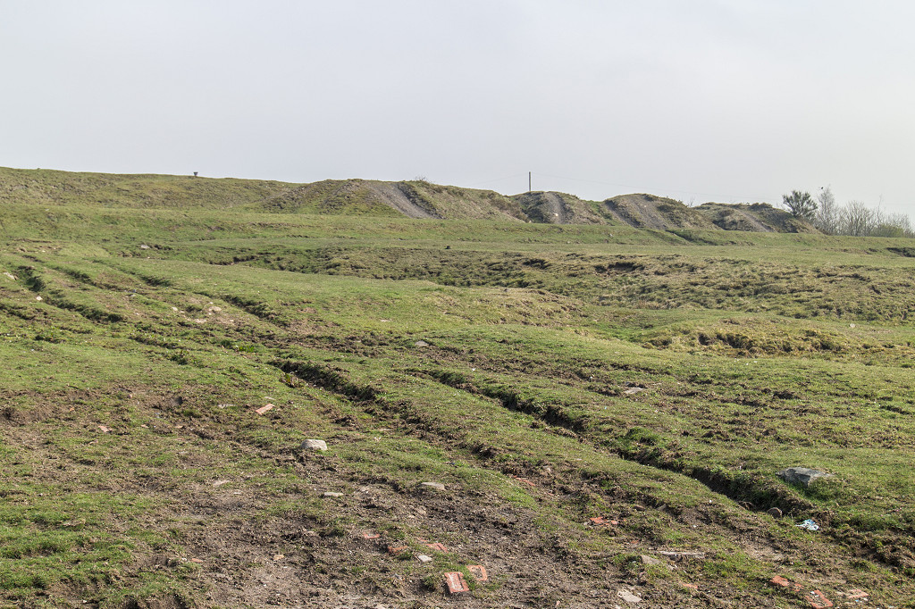
 The Nant Morlais embankment |
 Nant Morlais |
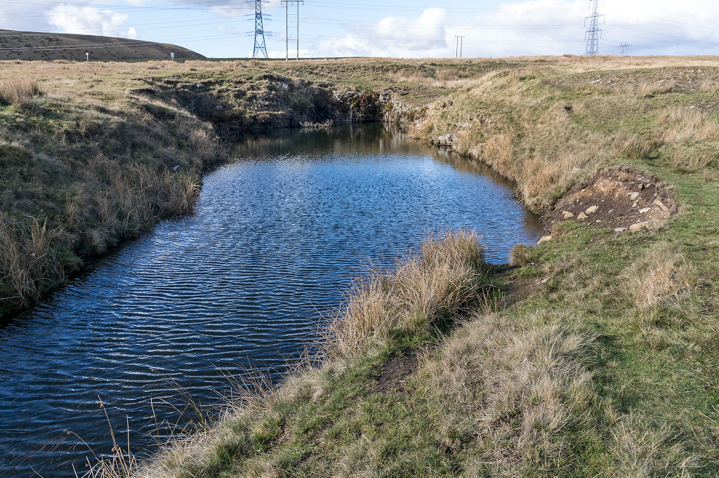
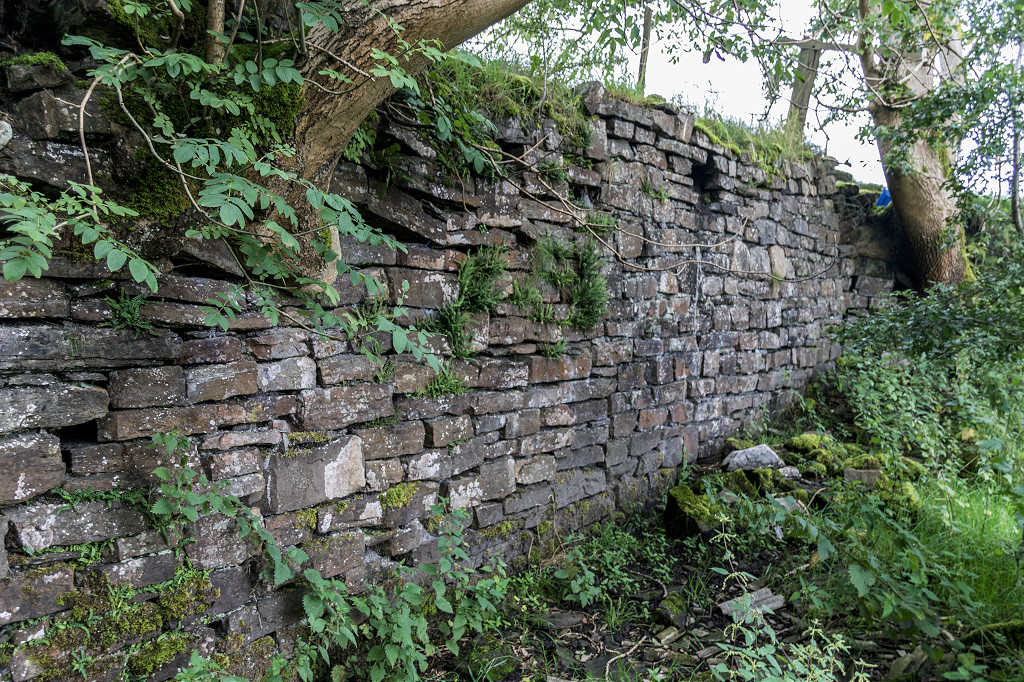
 The leat sluice at Nant Morlais |
 The leat sluice at Nant Morlais |
 Tramroad at the embankment |
 Twynau Gwynion main line |
 Twynau Gwynion main line |
 Twynau Gwynion main line |
 Twynau Gwynion main line |
 The first quarry loop |
 The first quarry loop |
 The first quarry loop junction |
 The second quarry loop |
 Twynau Gwynion quarry branches |
 Twynau Gwynion quarry branches |
 Twynau Gwynion quarries |
 Twynau Gwynion quarries |
 Twynau Gwynion quarries |
 The first tramroad to Rhymney |
 The ganister quarry bunker |
 The ganister quarry bunker |
 The ganister quarry bunker |
 The ganister quarry bunker |
 The aerial ropeway loading point |
 The aerial ropeway pylon base |
 The aerial ropeway pylon base |
 Ganister quarry building |
 The ganister quarry |
Industrial WalesCollieries, Ironworks, Quarries, Railways, Canals, Tramroads, Tunnels, Culverts and so much more....
|
Brickworks of WalesBricks are 'History with a label' so here's the story of the Brickworks of Wales - photos, maps and the products themselves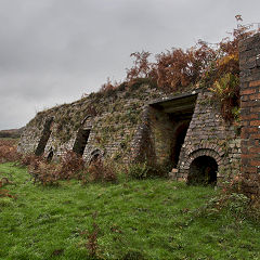
|
Around the WorldMy travels around the UK and the Whole Wide World in search of industries, railways, trams and mines to name a few.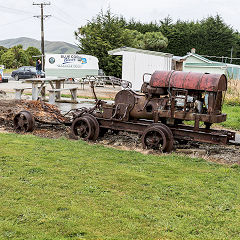
|
Boundary Stones and MilepostsBoundary Stones, Mileposts and other markers in simple alphabetical order of their initials, name or site.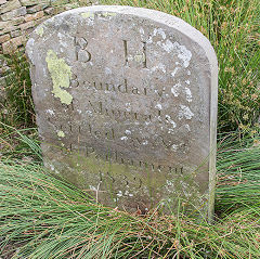
|
Ships and ShippingShips around the World in simple alphabetical order of their name (or apparent area if I can't read the name).
|
The Site Map and IndexA full list of all the pages of the whole website in just one place, so you should find exactly what you are looking for.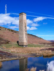
|
About the SiteThe background and technical details about the site, plus a contact page and links to other sites - and a warning !!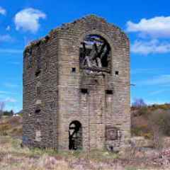
|
Contact MeSomething to add? A great photo? Something wrong? or need to know more about things? Just drop me a line here.
|
Further ReadingYou can find lots of local and other very helpful websites, books, magazines and Facebook groups all listed here.
|