Industrial Wales - Monmouthshire's Clydach Gorge
Blaenavon Stone Road
from Waunllapria to Pwlldu and beyond !
Search the site here
|
|
Industrial Wales - Monmouthshire's Clydach Gorge
Blaenavon Stone Road
from Waunllapria to Pwlldu and beyond !
|
Search the site here
|
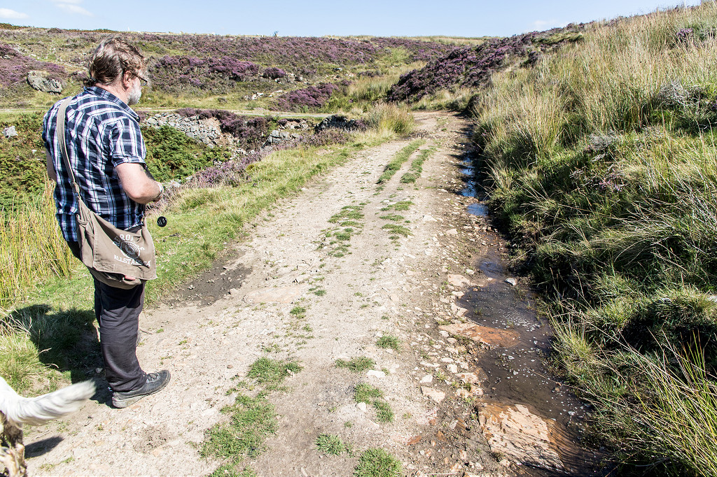
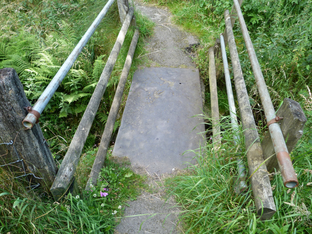 Iron slab footbridge, Waunllapria |
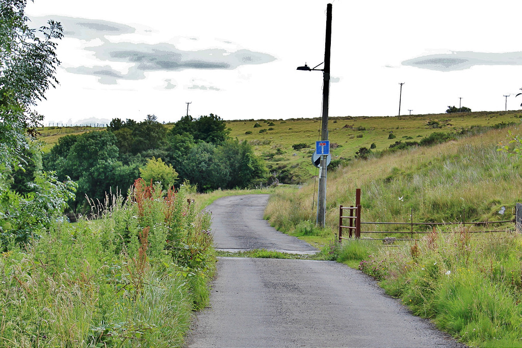
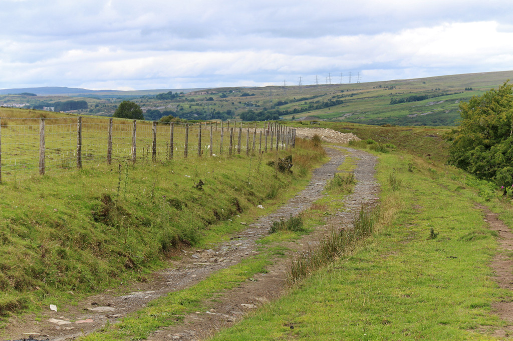
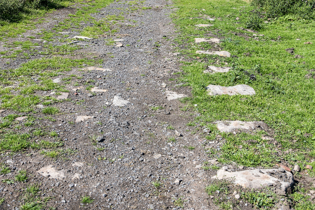
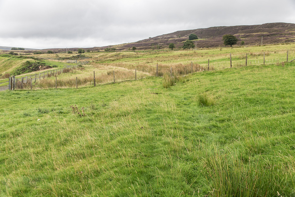
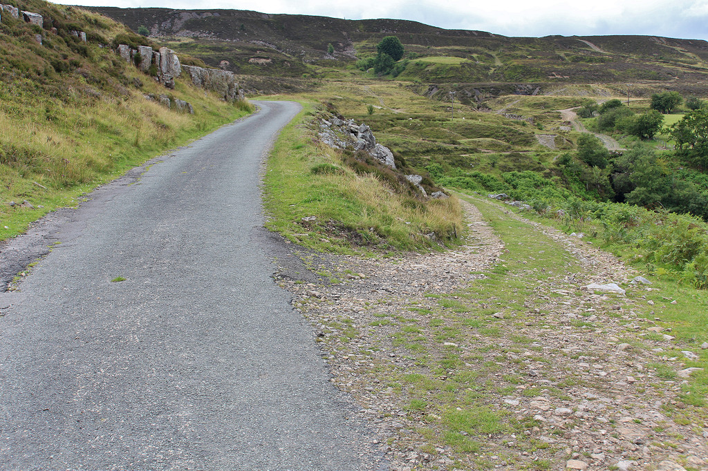
 Stone Road looking West |
 Stone Road looking East |
 Stone Road looking East |
 Stone Road looking West |
 Stone Road looking East |
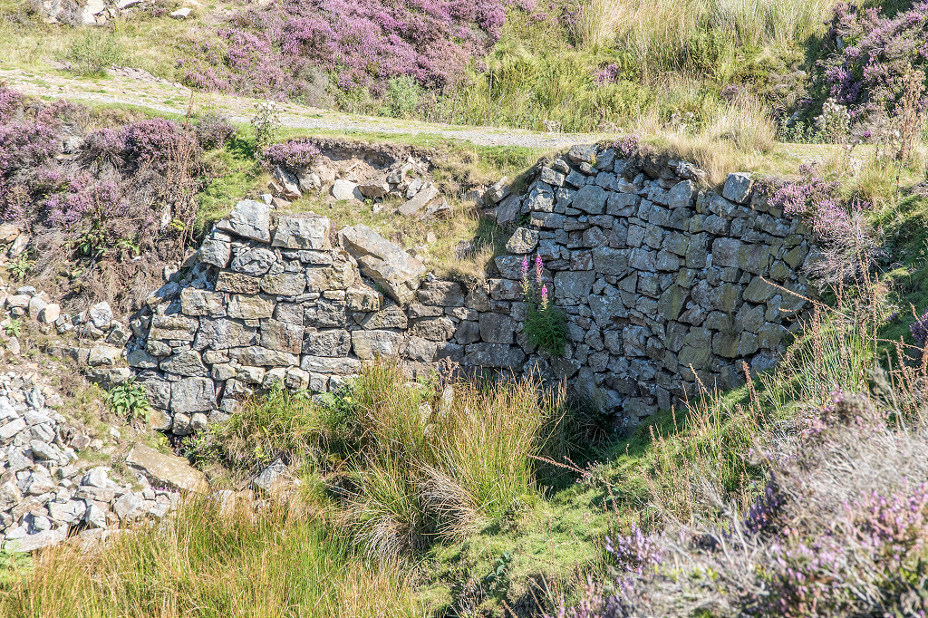
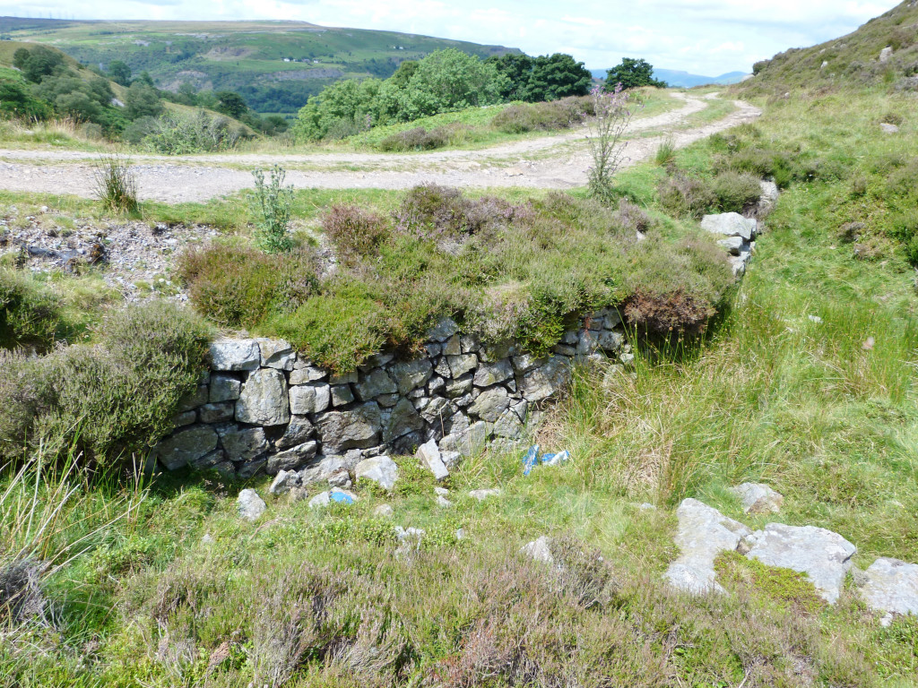
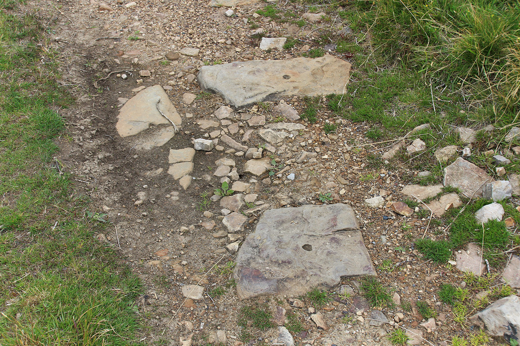
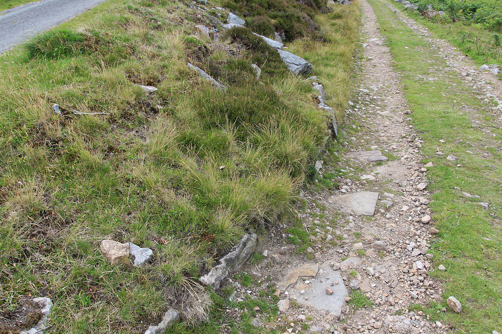
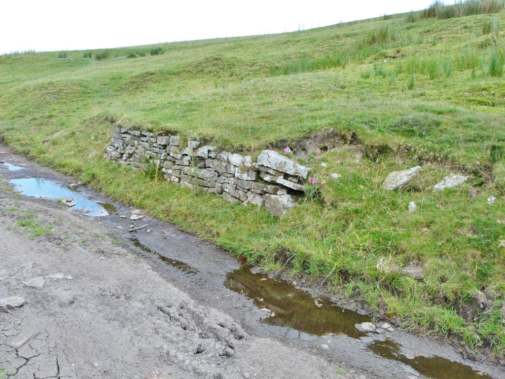 Stone retaining wall |
 Stone Road looking East |
 Stone Road looking West |
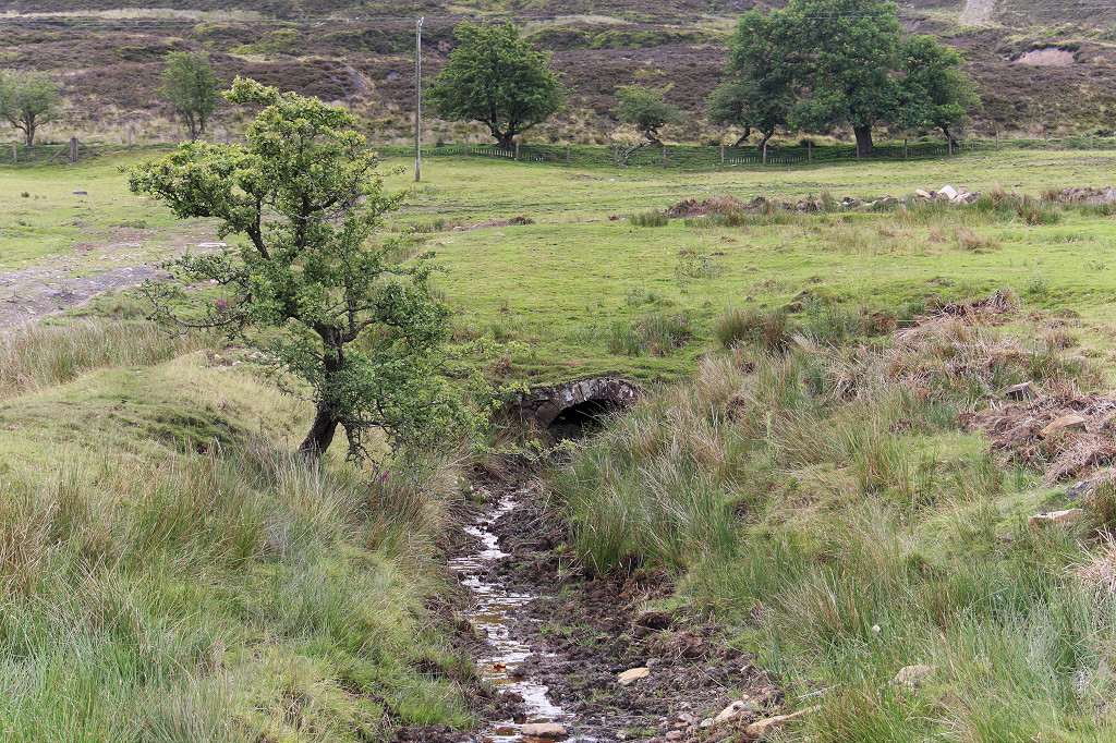
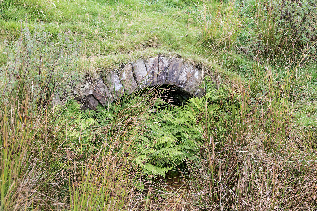
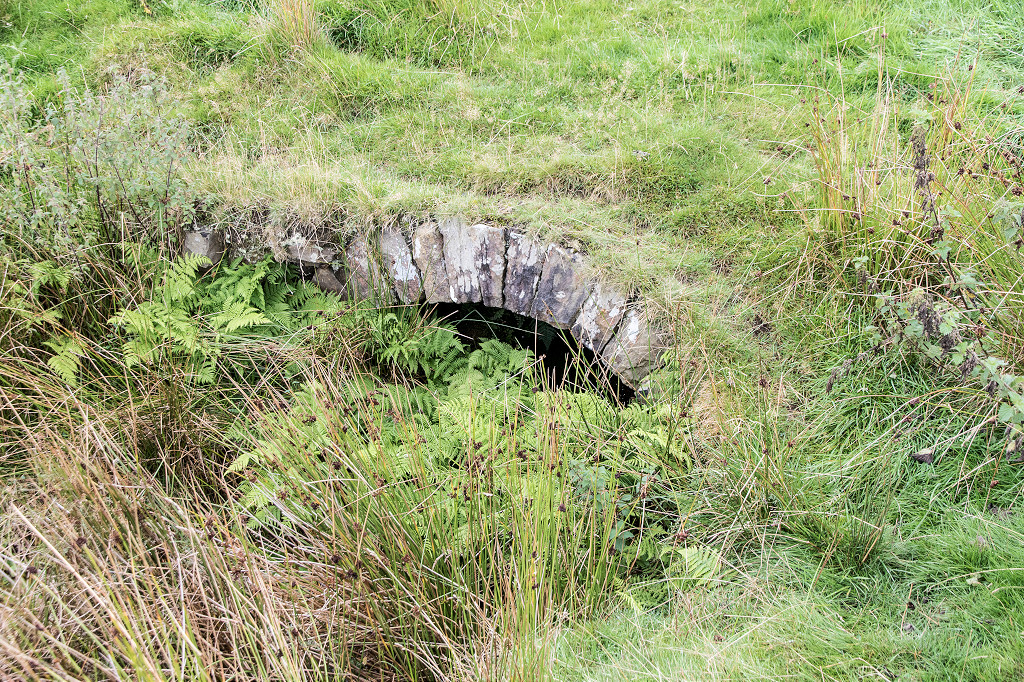
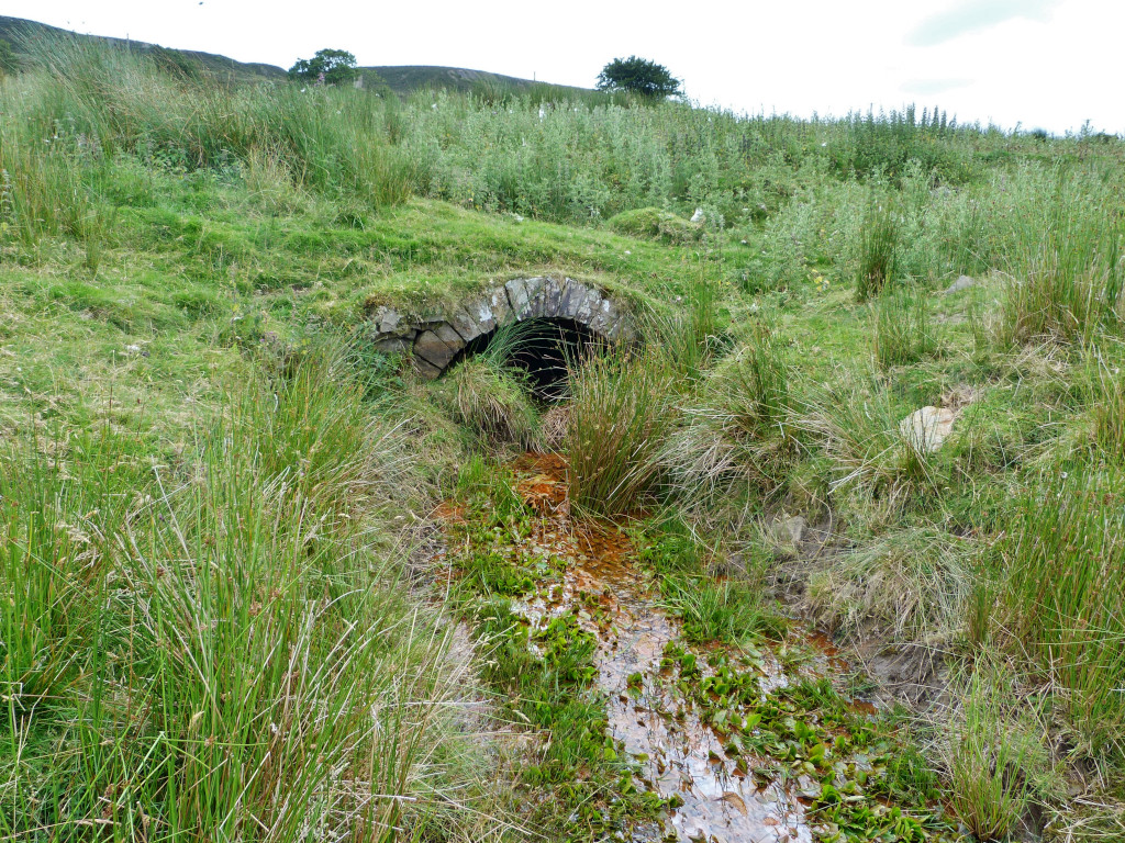
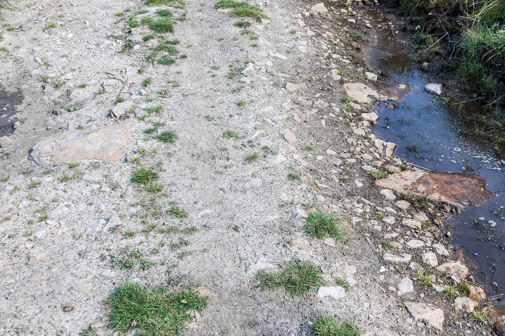
 Stone Road culvert |
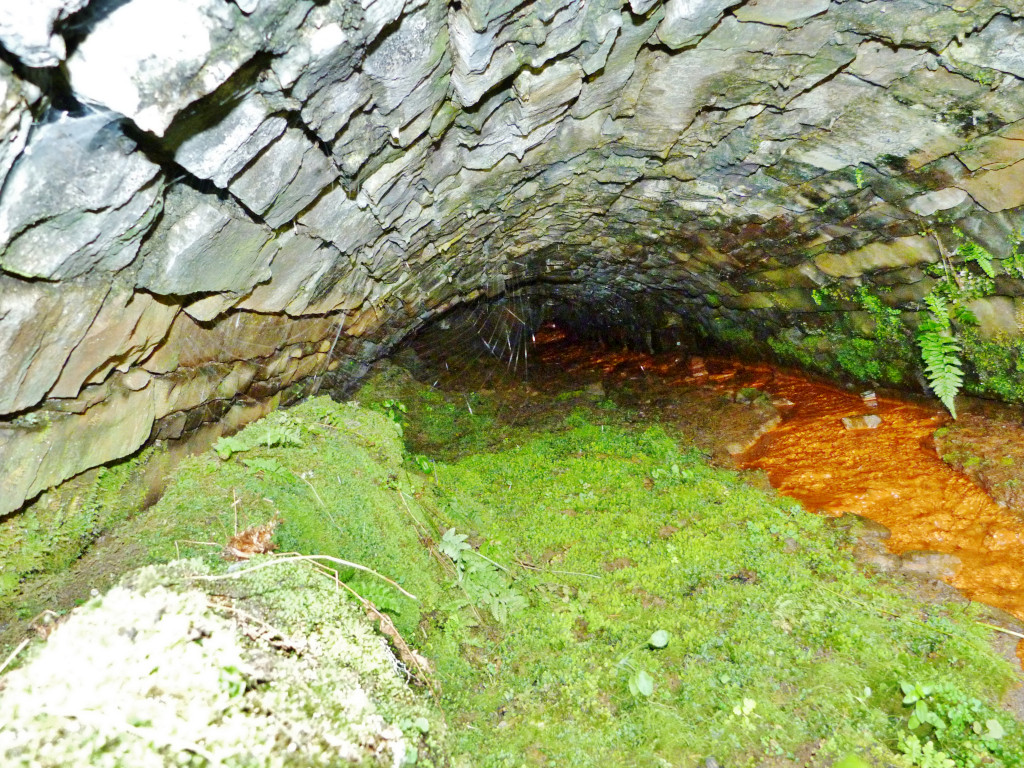
 Culvert near the cottage |
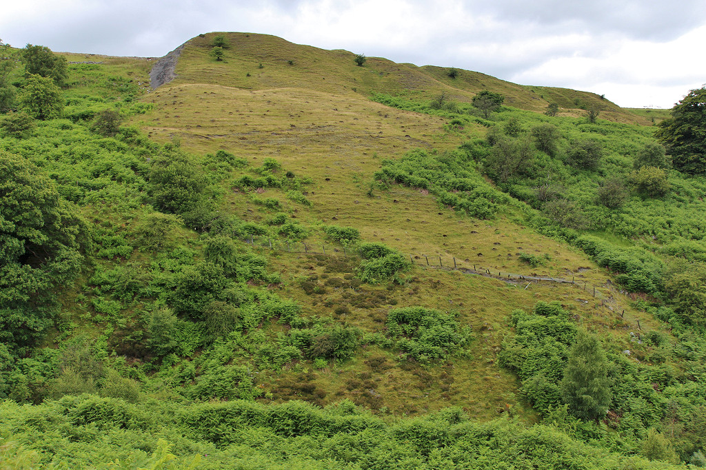
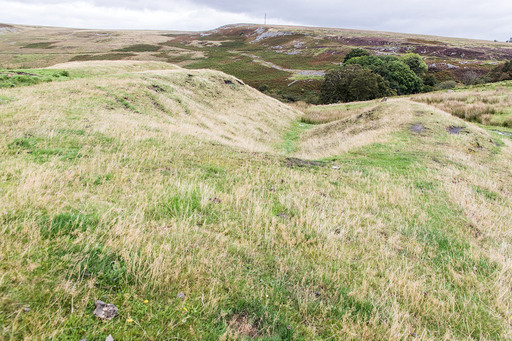
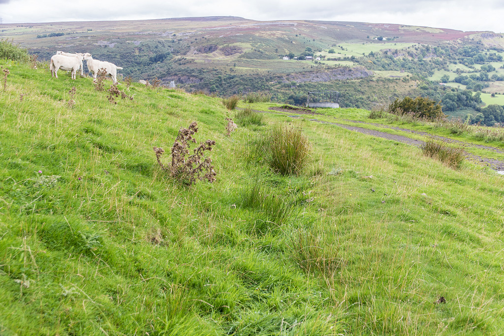
 Jones Colliery tips, Llanelly Hill |
 Jones Colliery tips, Llanelly Hill |
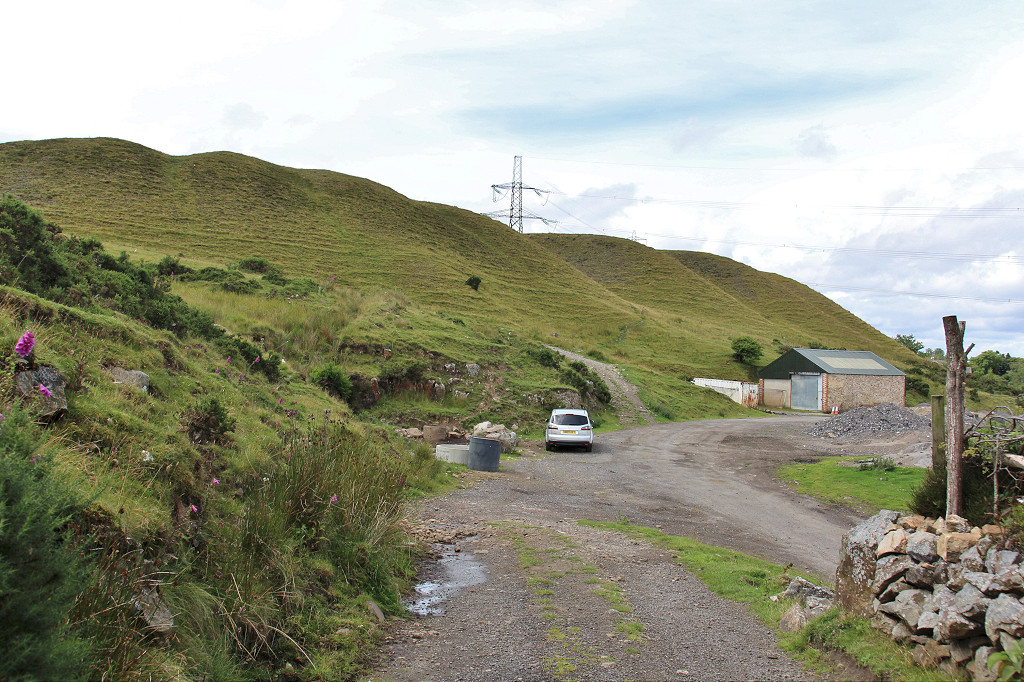 Jones Colliery tips, Llanelly Hill |
 Jones Colliery, Llanelly Hill |
 Jones Colliery, Llanelly Hill |
 Jones Colliery, Llanelly Hill |
 Jones Colliery, Llanelly Hill |
 Reservoir above Jones Colliery |
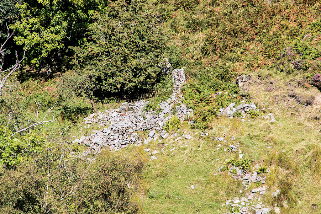
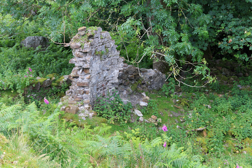
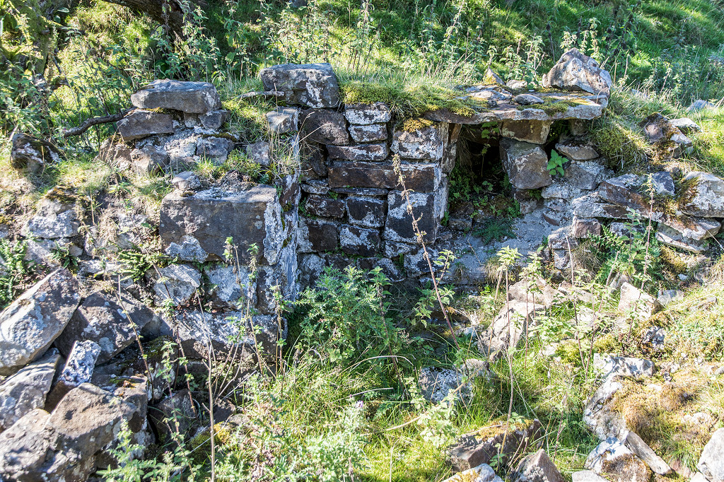
 Ruined cottage near Blaen Dyar |
 Ruined cottage near Blaen Dyar |
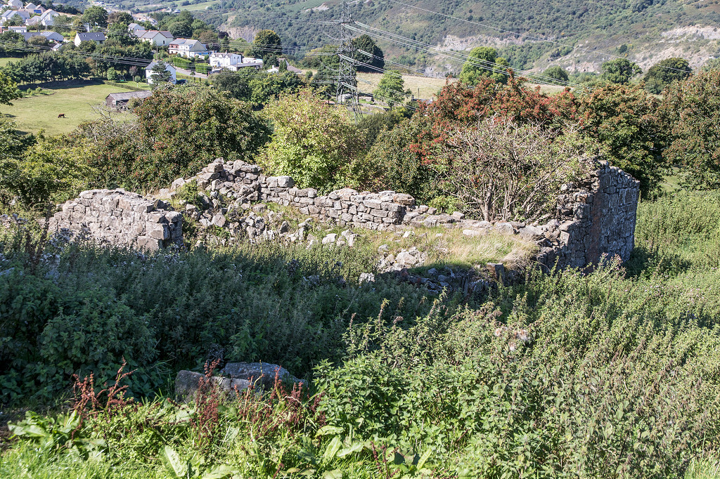 Ruined cottage near Blaen Dyar |
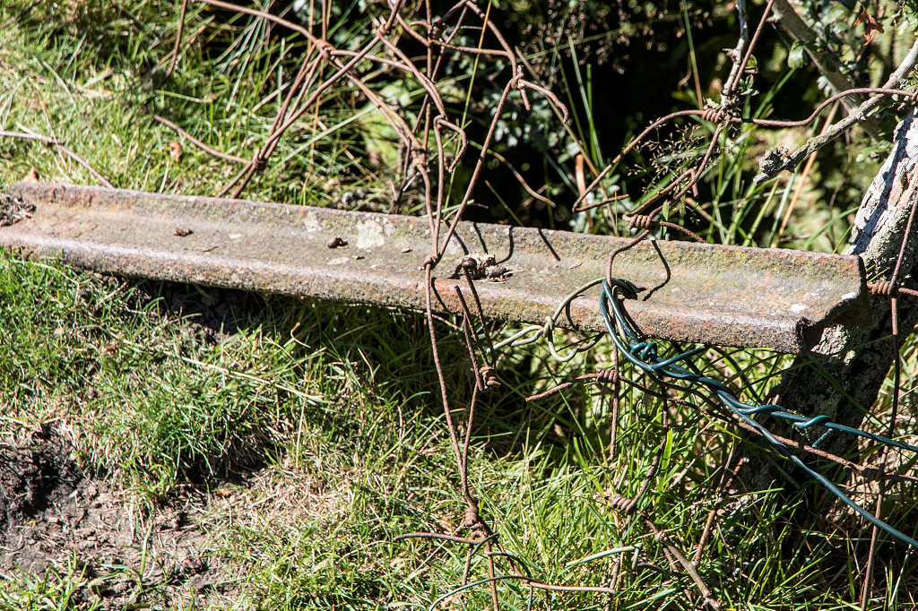 Rail in the cottage wall |
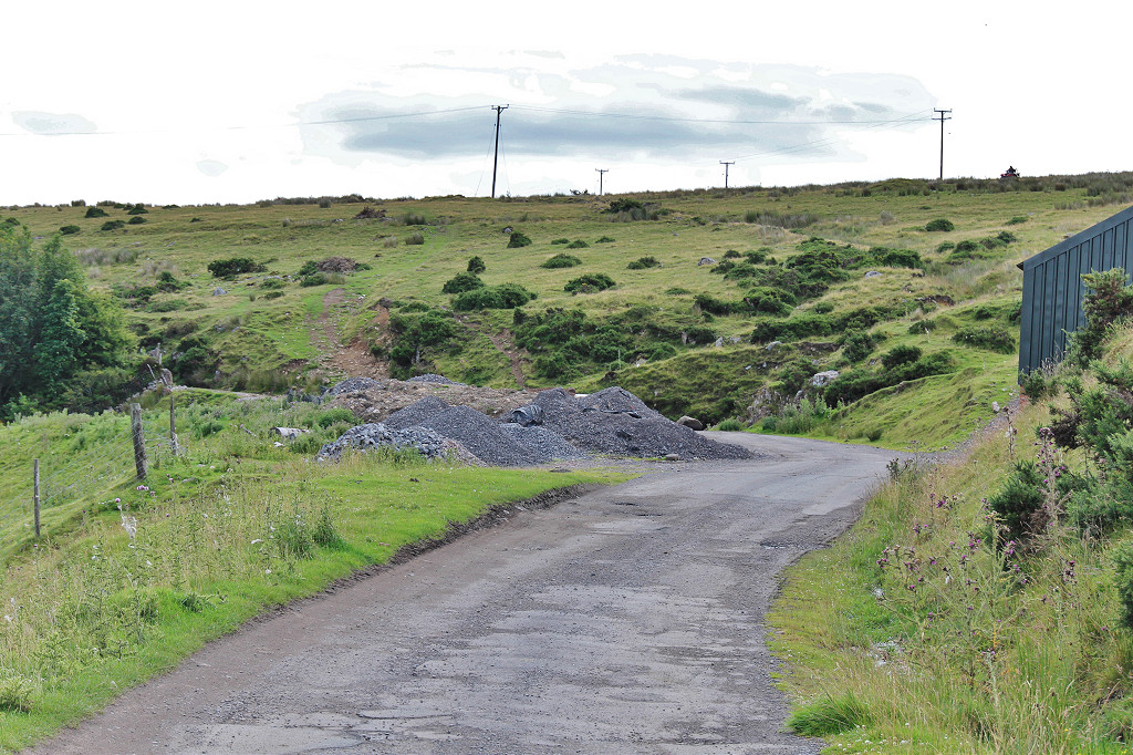
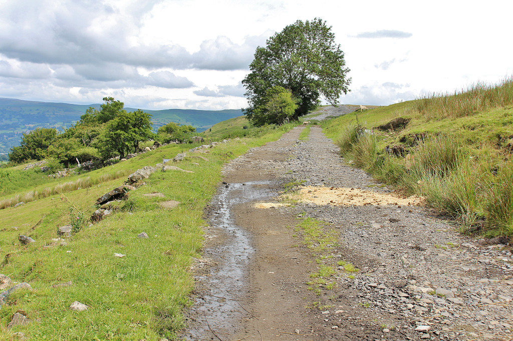
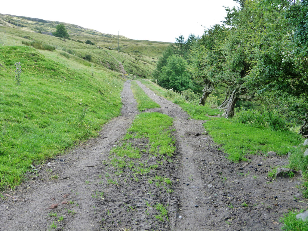
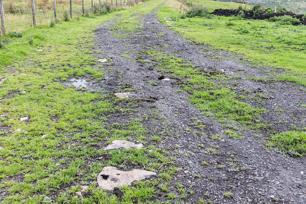
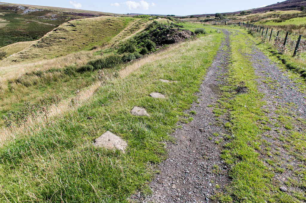
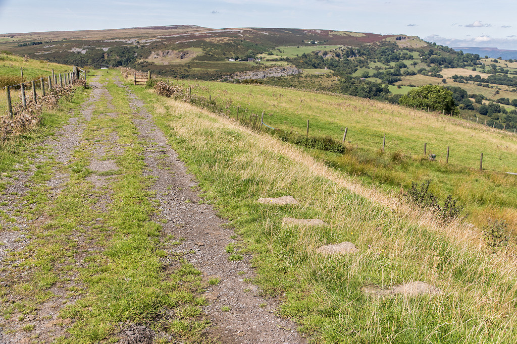
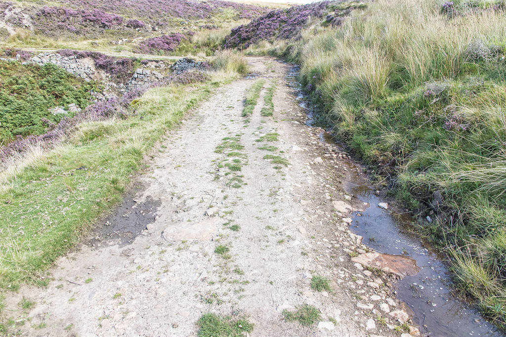
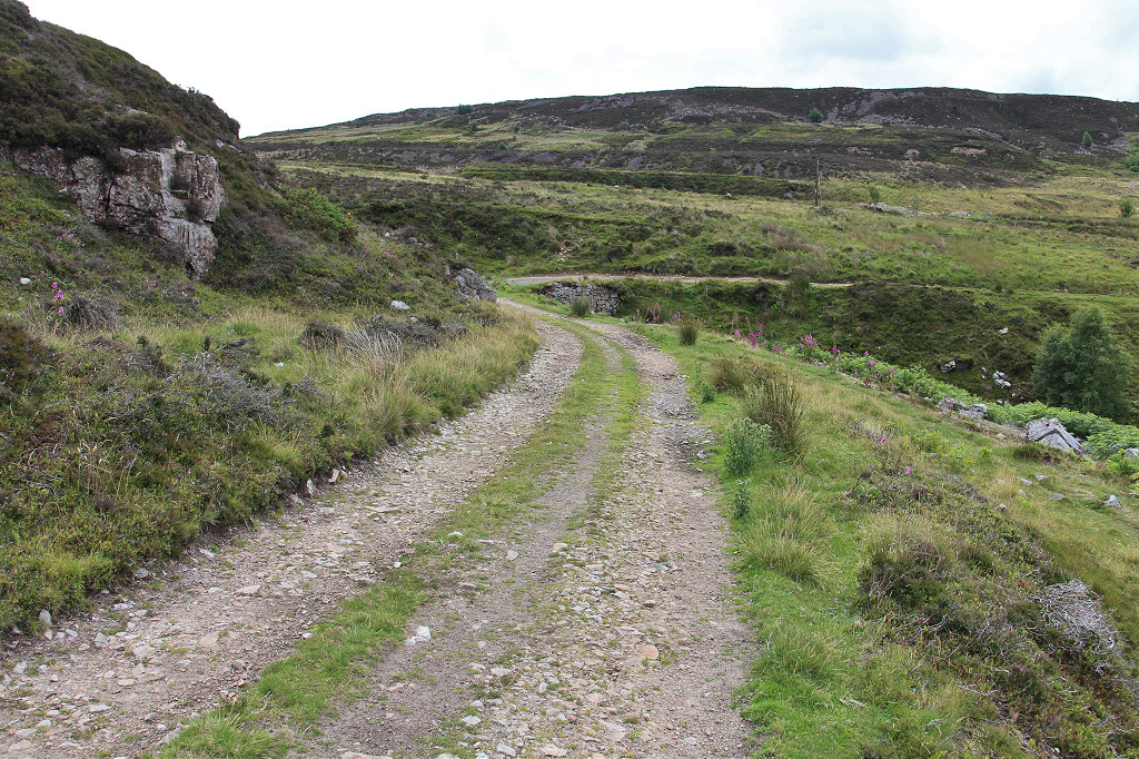
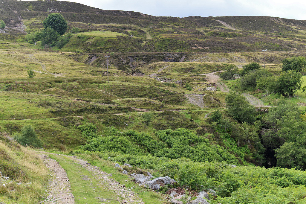
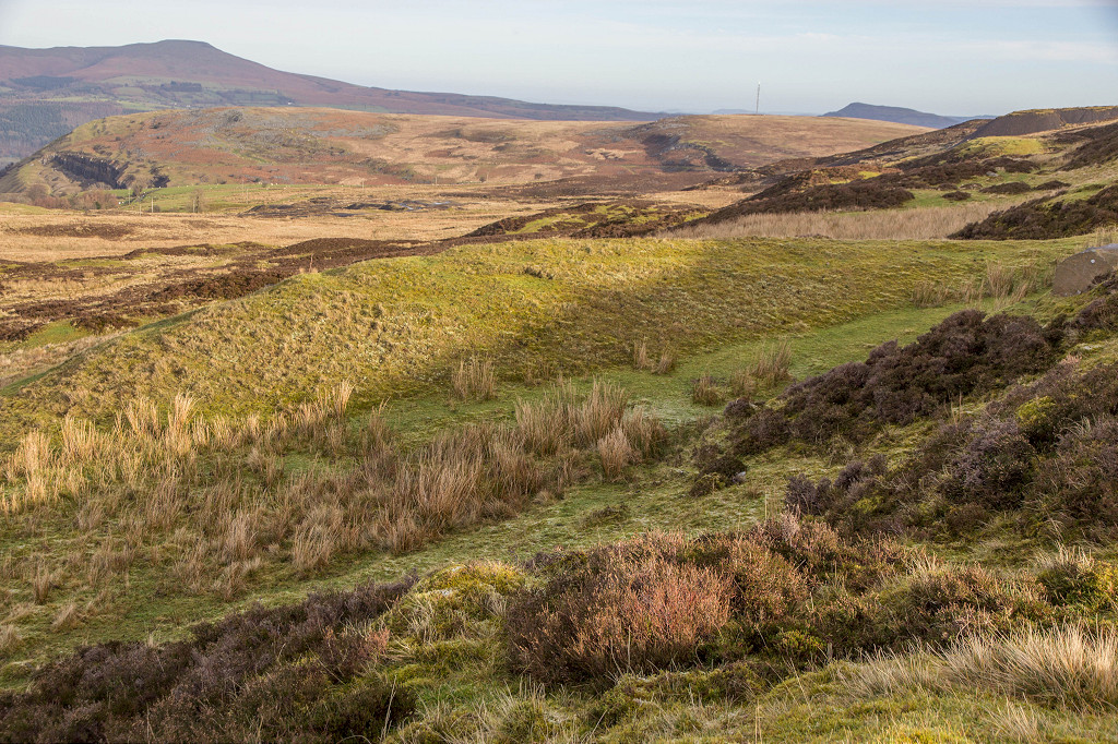
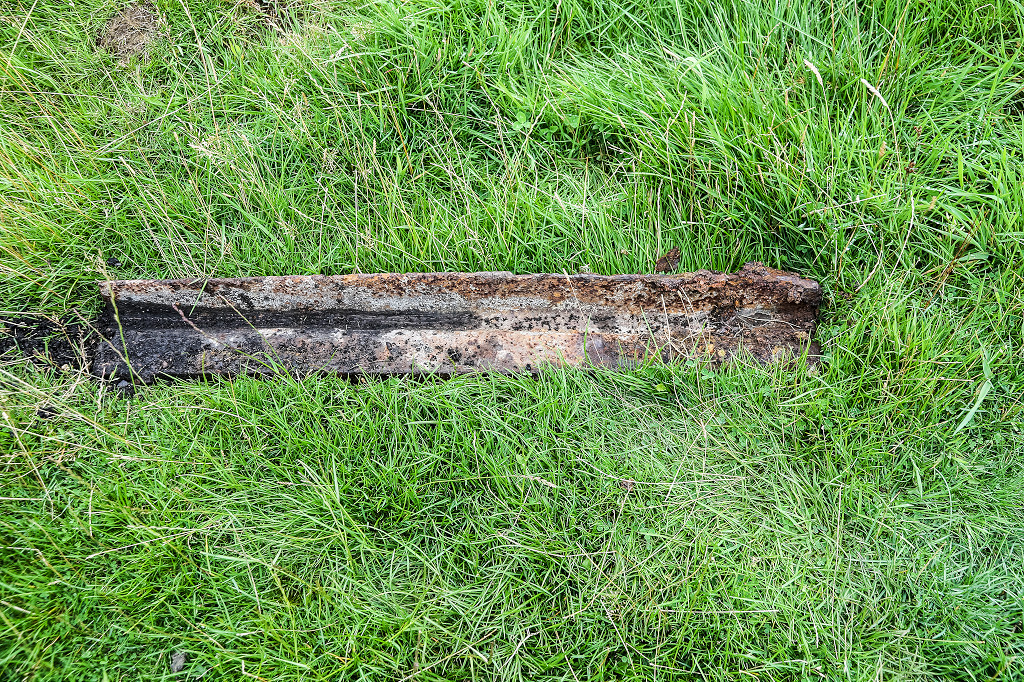
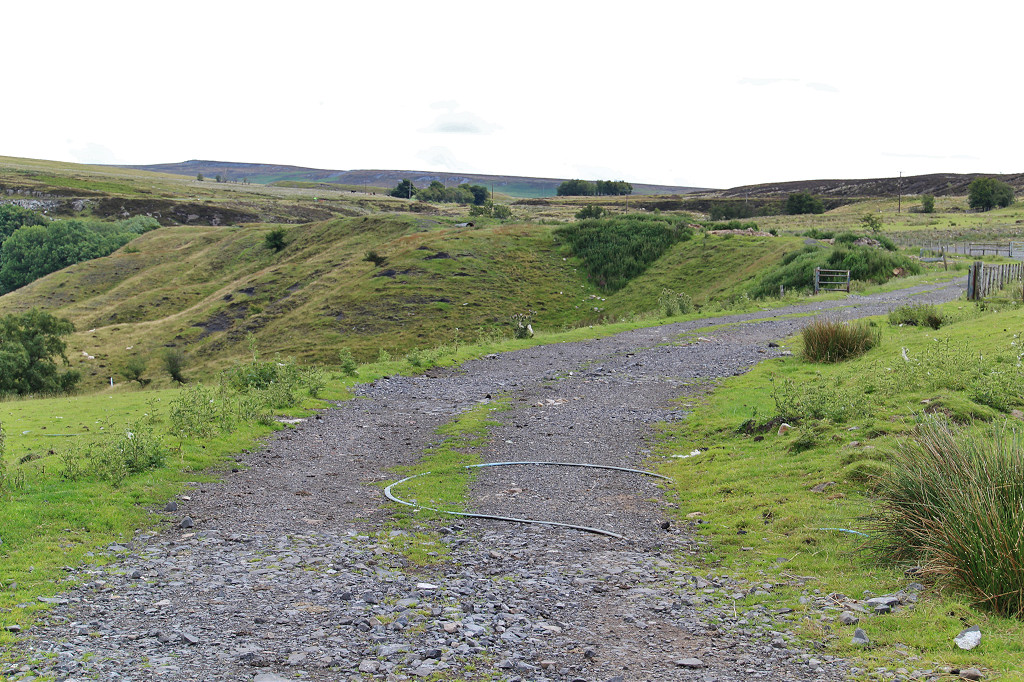 The Stone Road trackbed |
 The Stone Road trackbed |
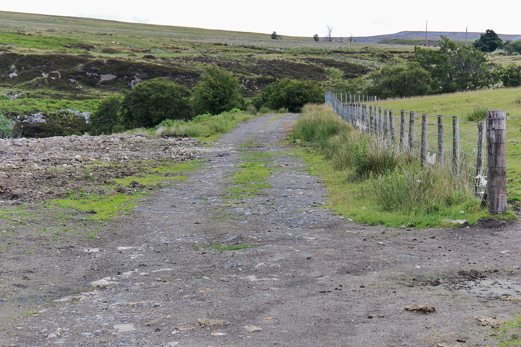 The Stone Road trackbed |
 The Stone Road trackbed |
 The Stone Road trackbed |
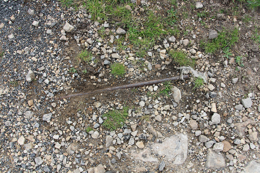
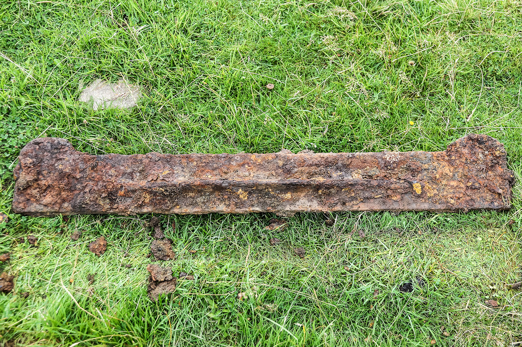
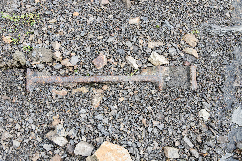
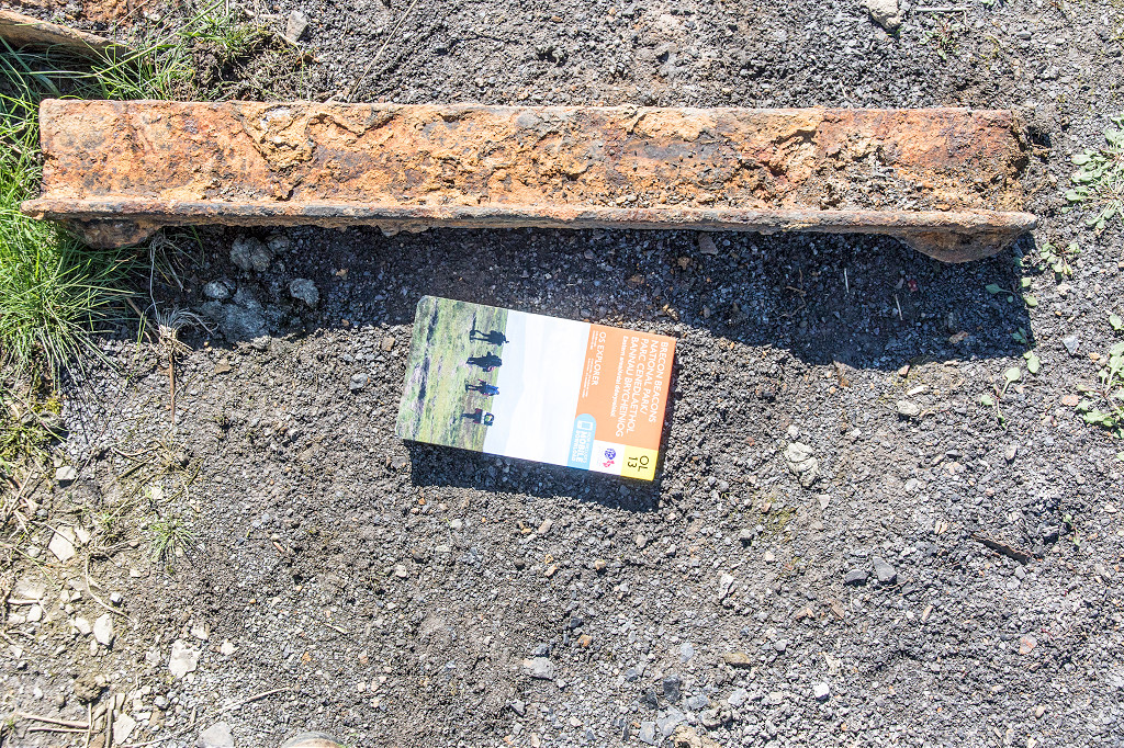
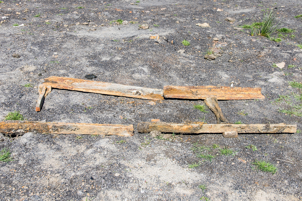
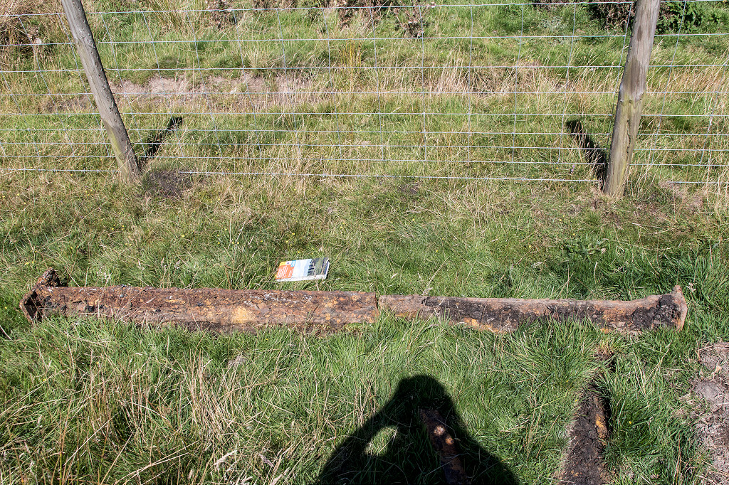
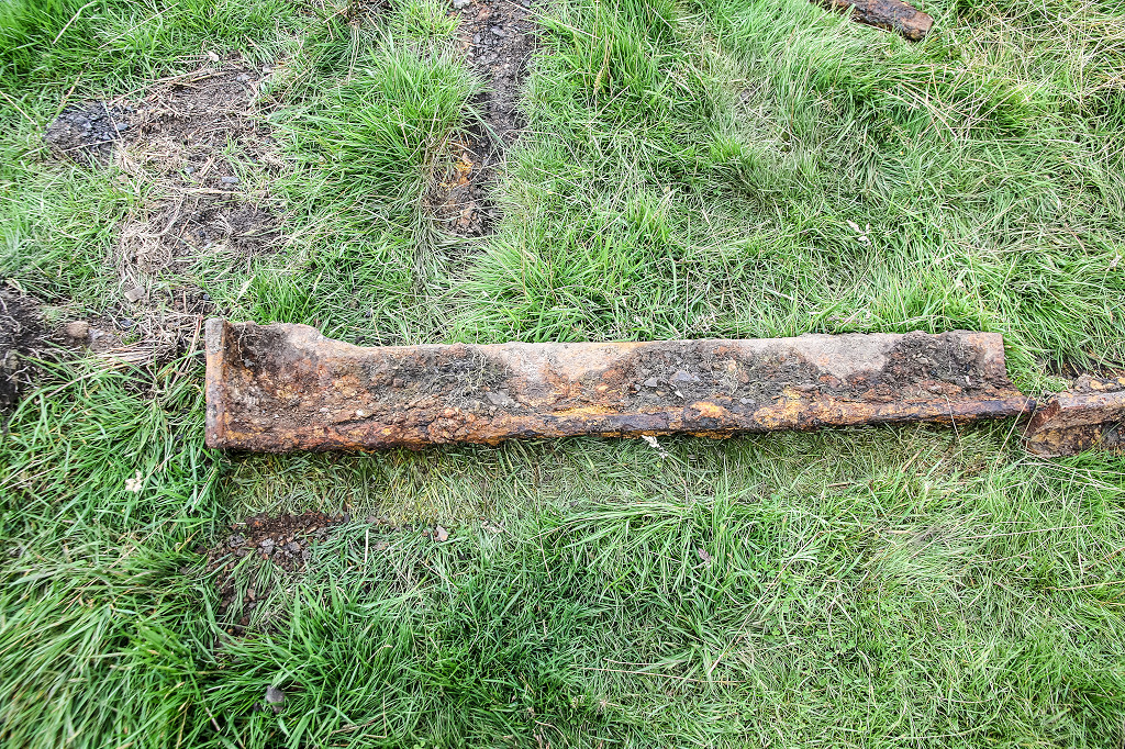
 Tramroad sleepers |
 Tramroad sleepers |
 Tramroad sleepers |
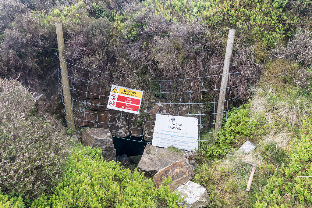
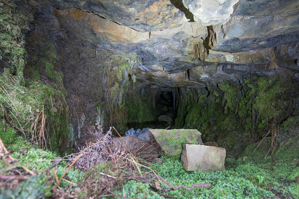
 Blaen Dyar colliery level |
 Blaen Dyar colliery level |
 Blaen Dyar colliery level |
 Blaen Dyar colliery level |
 Blaen Dyar colliery level |
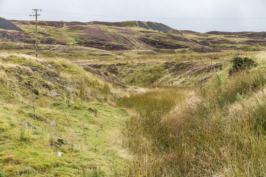
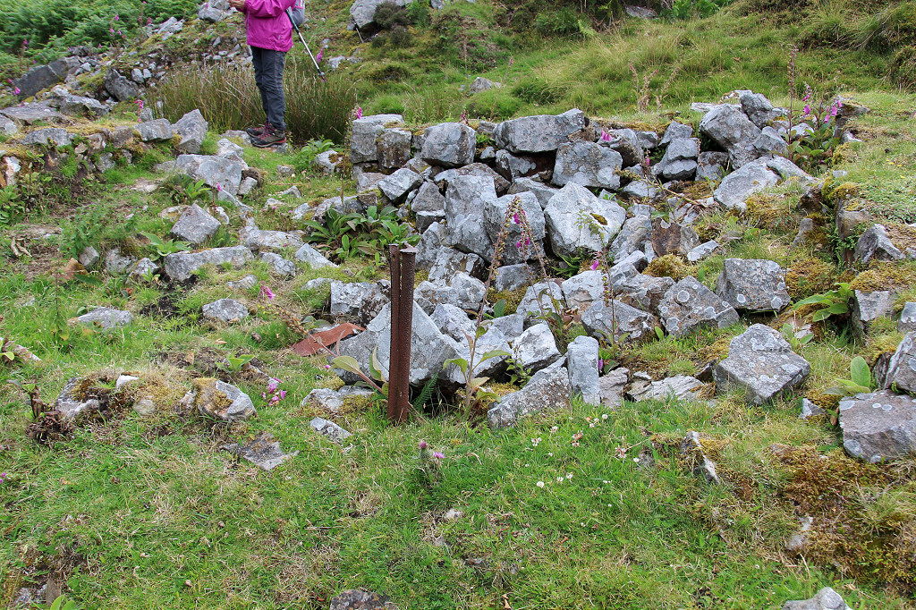
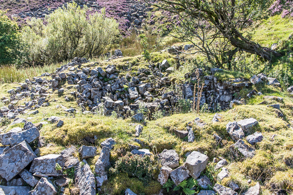
 Blaen Dyar colliery tips |
 Blaen Dyar colliery tips |
 Blaen Dyar colliery tips |
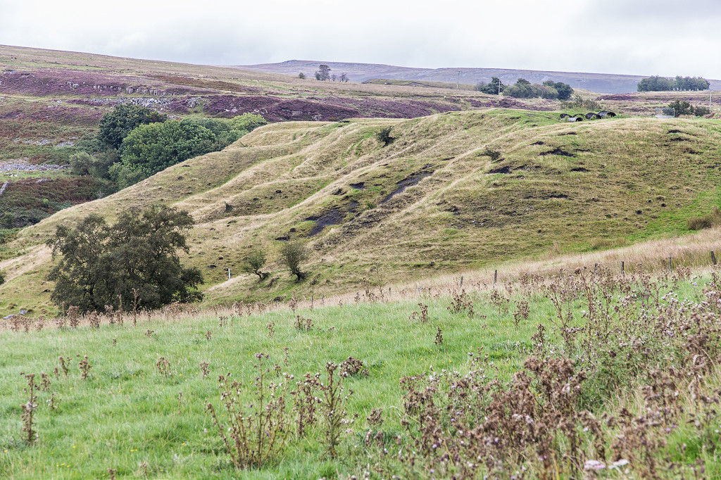 Blaen Dyar colliery tips |
 Blaen Dyar colliery tips |
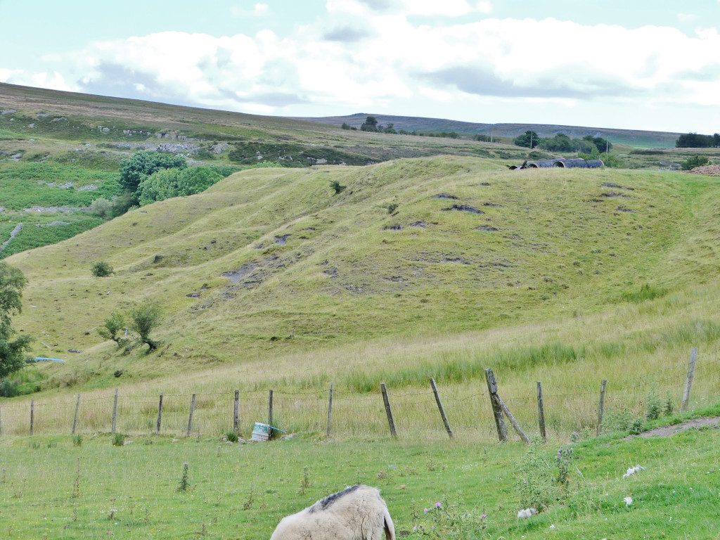 Blaen Dyar colliery tips |
 Blaen Dyar colliery tips |
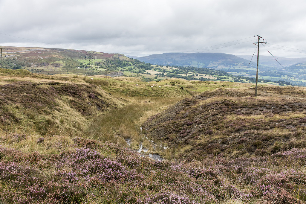
 Looking down on the colliery |
 Blaen Dyar colliery leat |
 Blaen Dyar colliery leat |
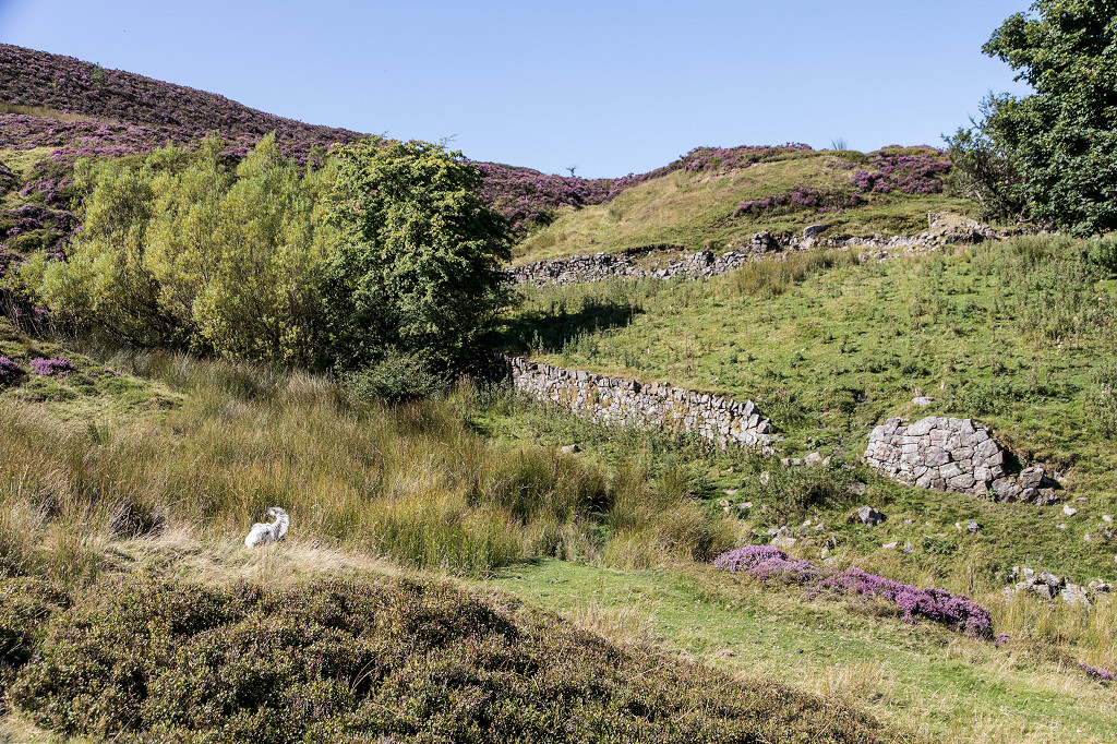
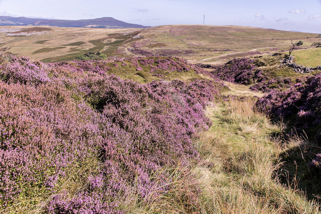
 Approaching the causeway |
 Blaen Dyer causeway |
 Blaen Dyer causeway |
 Blaen Dyer causeway |
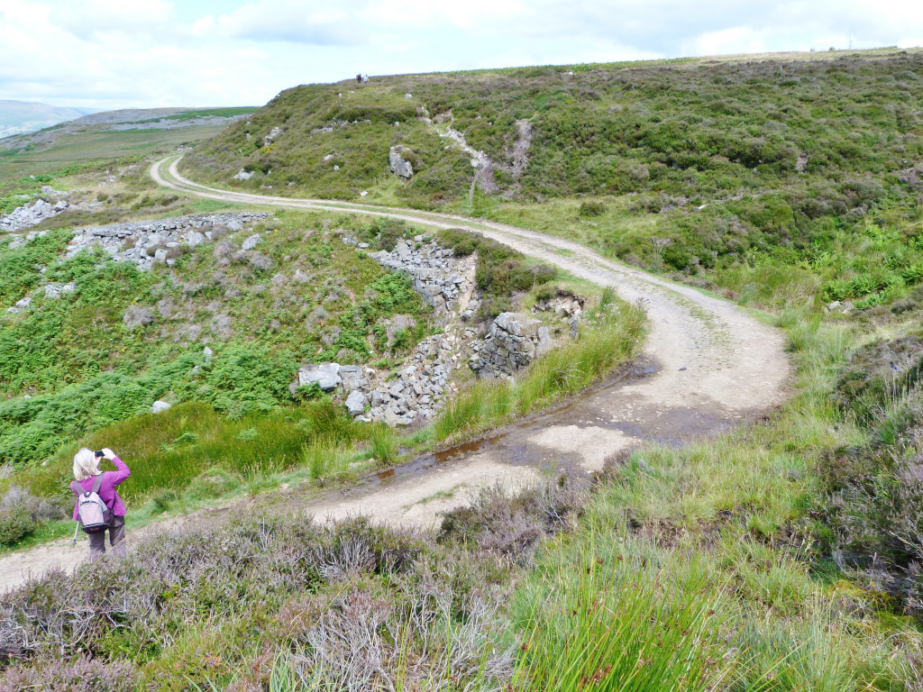 Blaen Dyer causeway |
 The Stone Road trackbed |
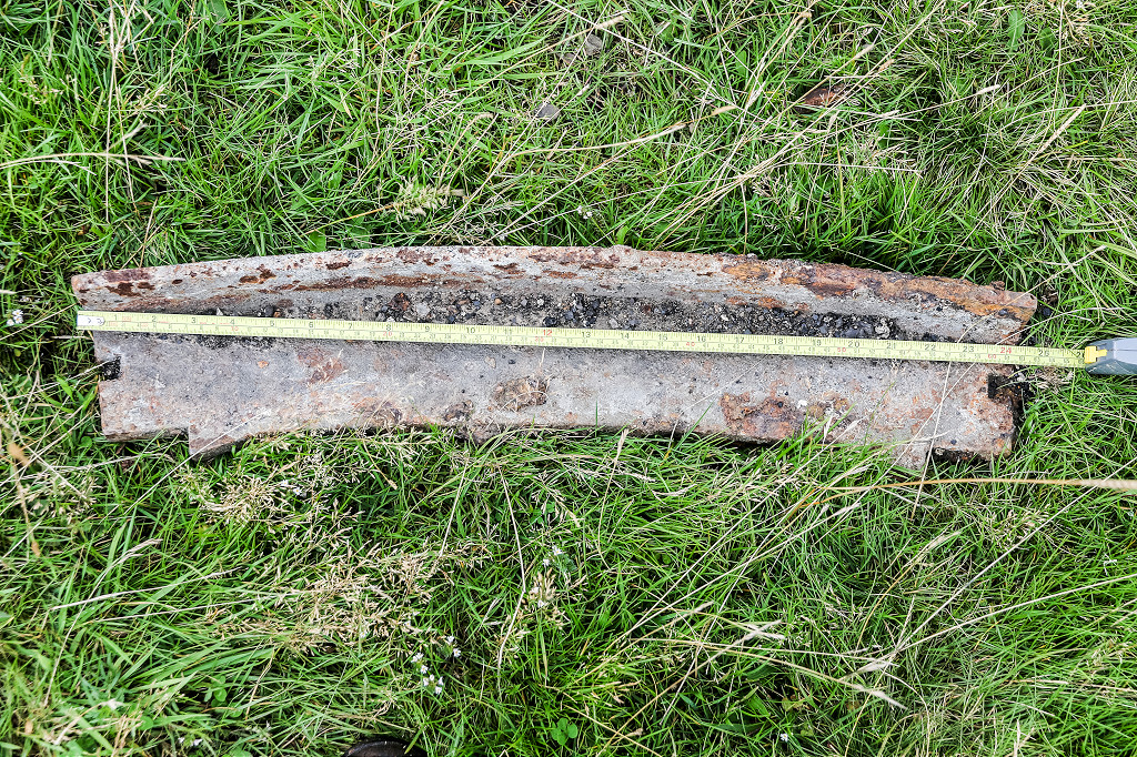
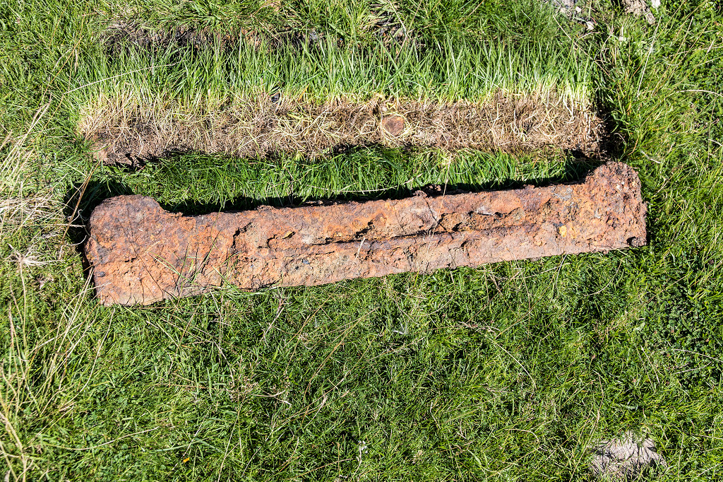
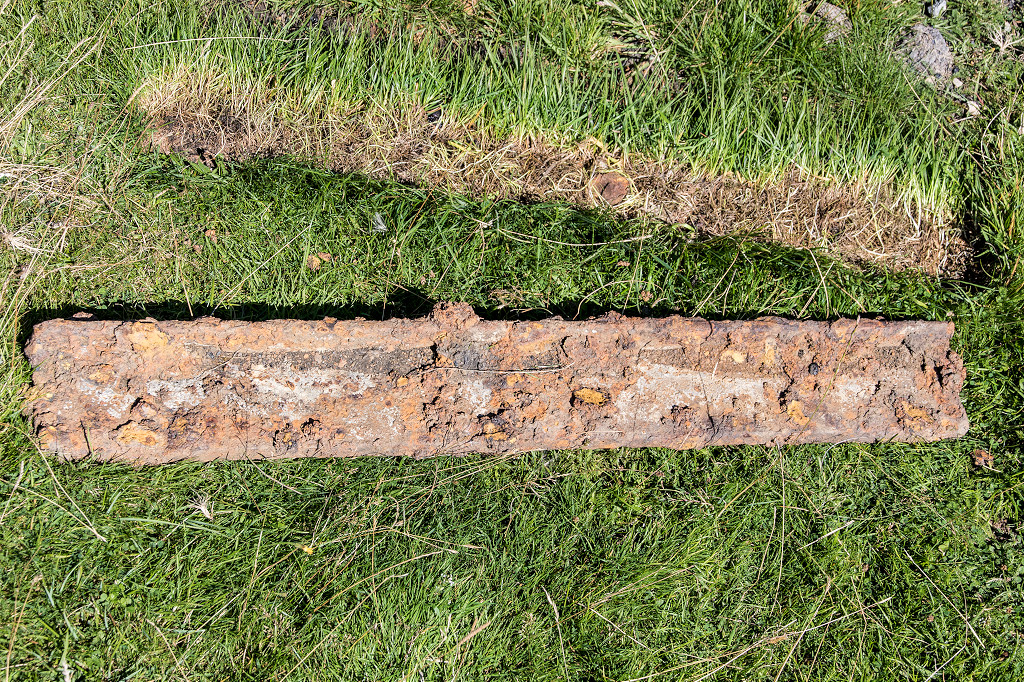
 Tramroad sleepers |
 Tramroad sleepers |
 Tramroad sleepers |
 Blaen Dyer causeway |
 Blaen Dyer causeway |
 Blaen Dyer causeway |
 Blaen Dyer causeway |
 The reversing spur |
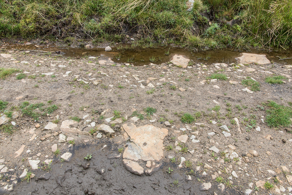
 Blaen Dyer causeway tramplate |
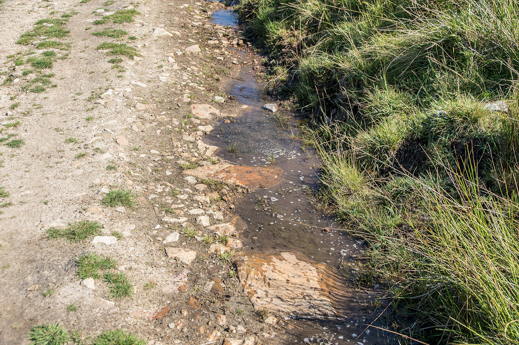
 Looking back across the stream |
 Blaen Dyar Farm |
 Blaen Dyar Farm |
 Blaen Dyar Farm |
 Blaen Dyar Farm |
 Beerhouse at Blaen Pig |
 Beerhouse at Blaen Pig |
 Beerhouse at Blaen Pig |
 Beerhouse at Blaen Pig |
 Possible tramroad at beerhouse |
 Level behind the beerhouse |
 Level behind the beerhouse |
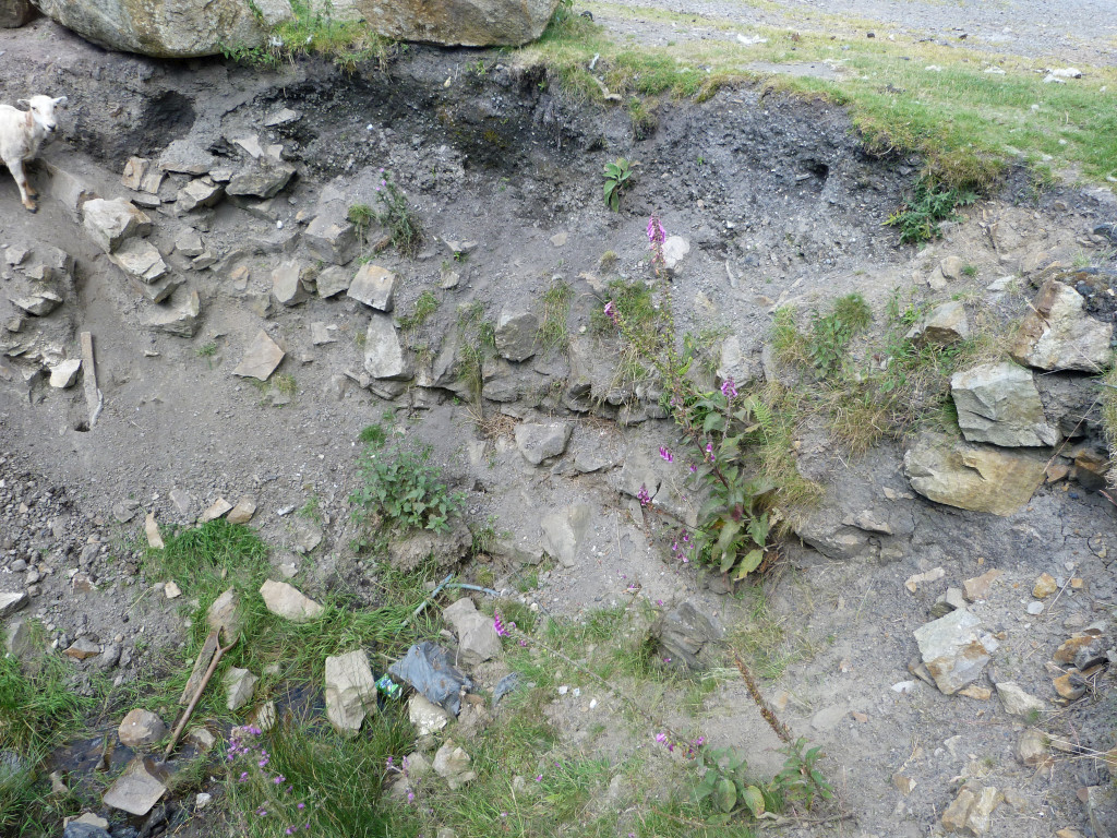
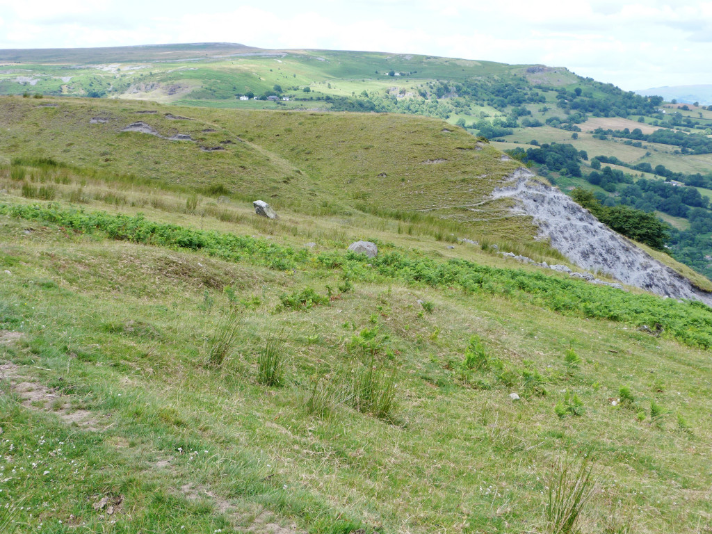
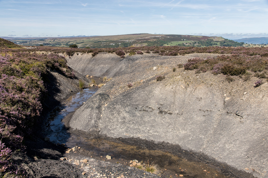 Erosion at Blaen Pig |
 Erosion at Blaen Pig |
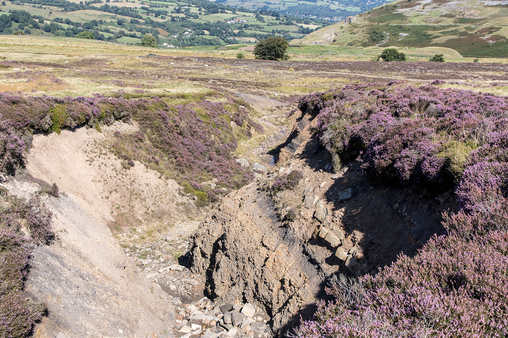 Erosion at Blaen Pig |
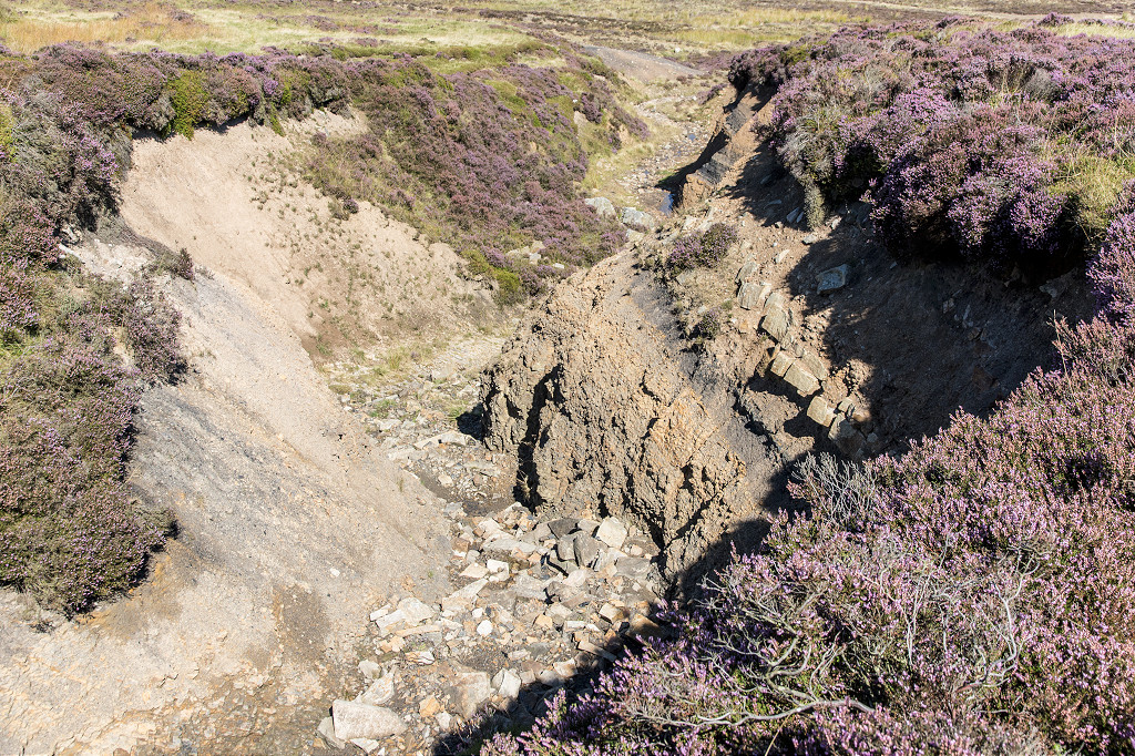 Erosion at Blaen Pig |
 Coal seam at Blaen Pig |
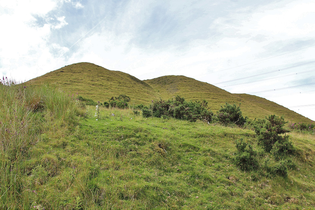
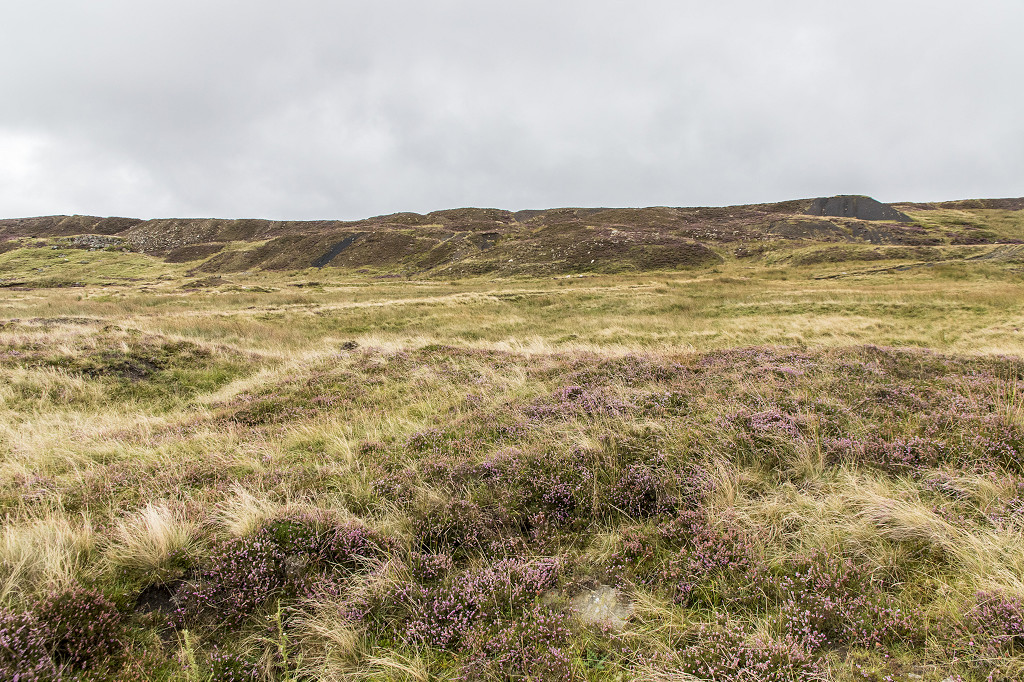
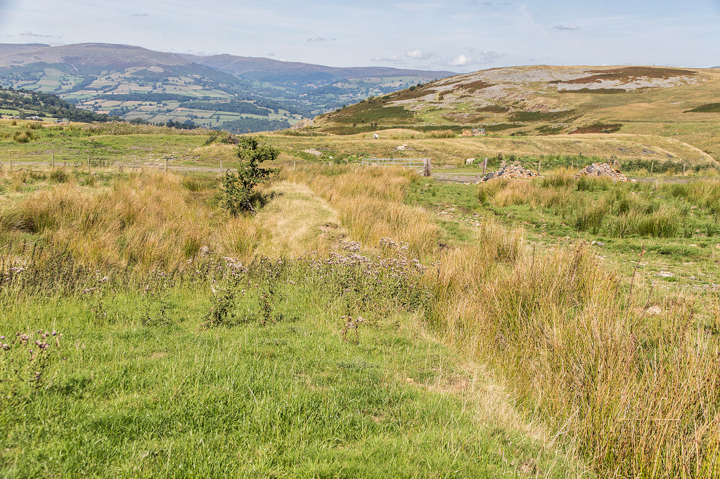
 Tips above Waun Wen Farm |
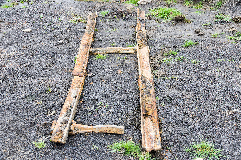
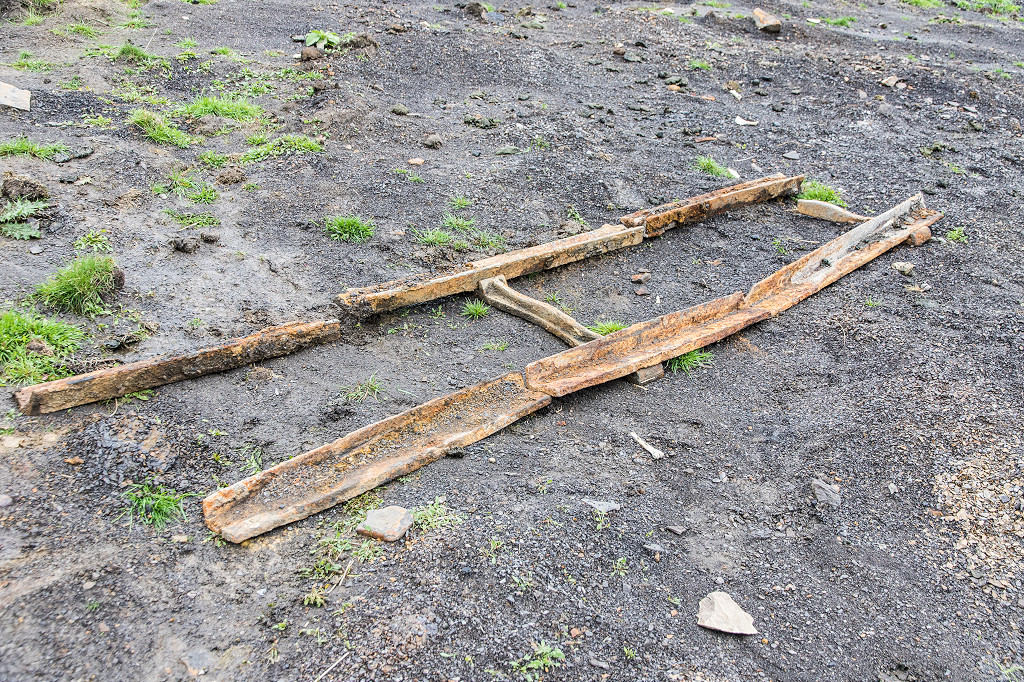
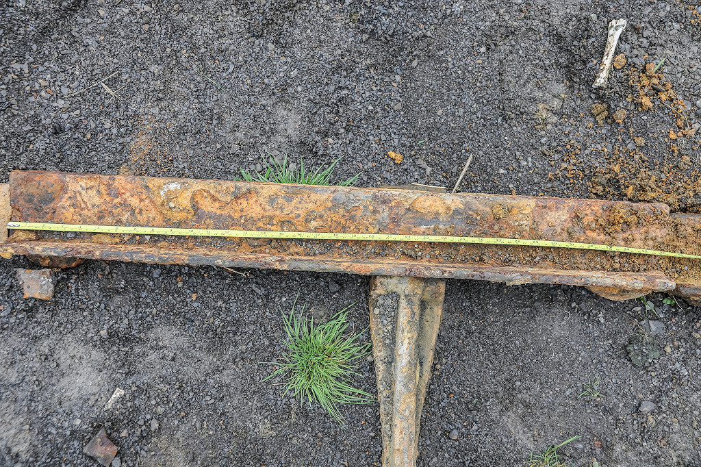
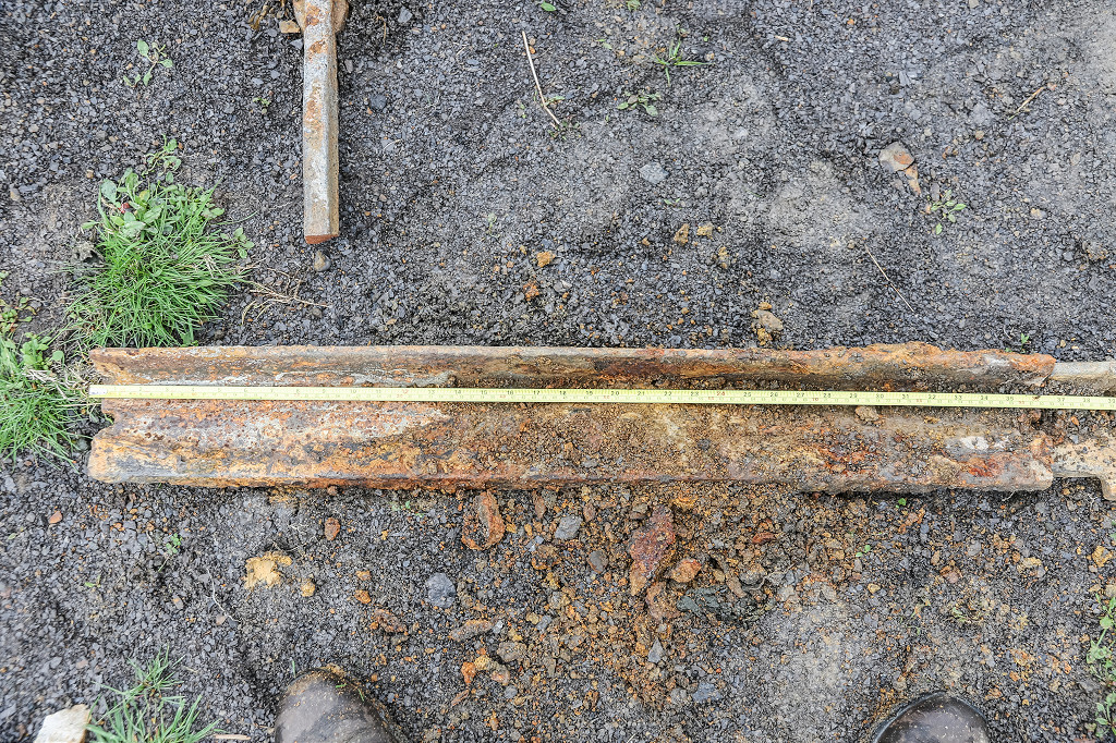
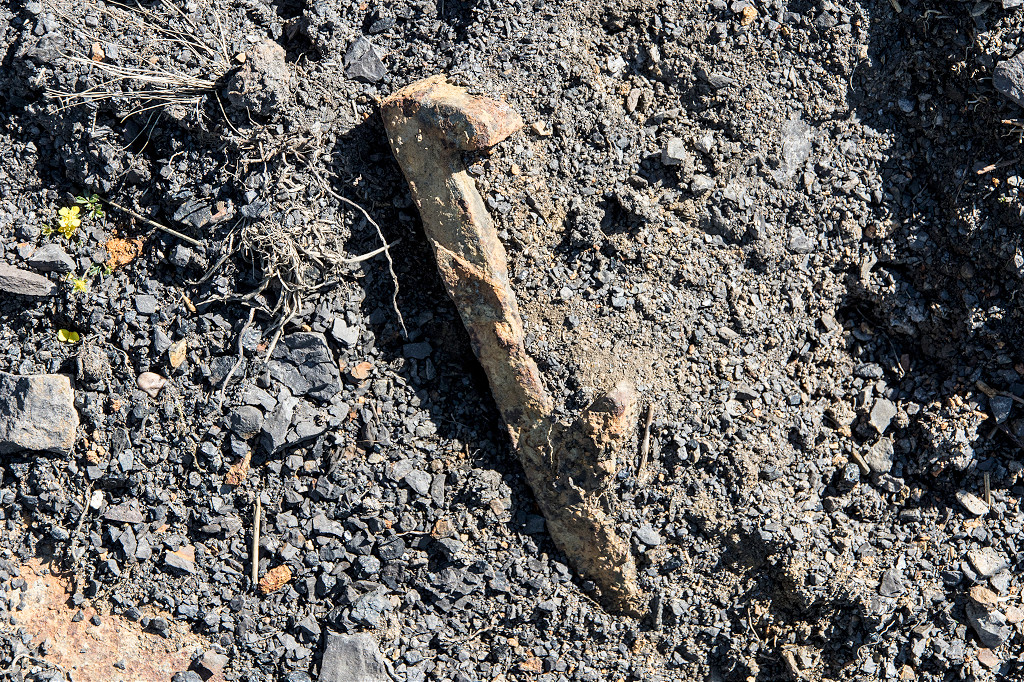
 A wooden dram underframe? |
 A wooden dram underframe? |
 A wooden dram underframe? |
 A wooden dram underframe? |
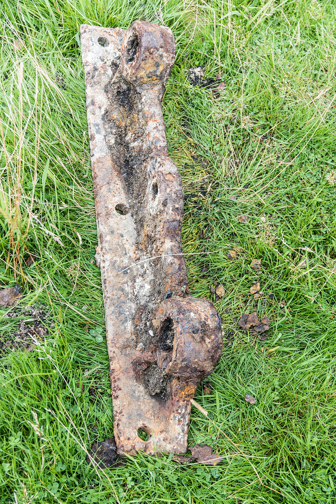
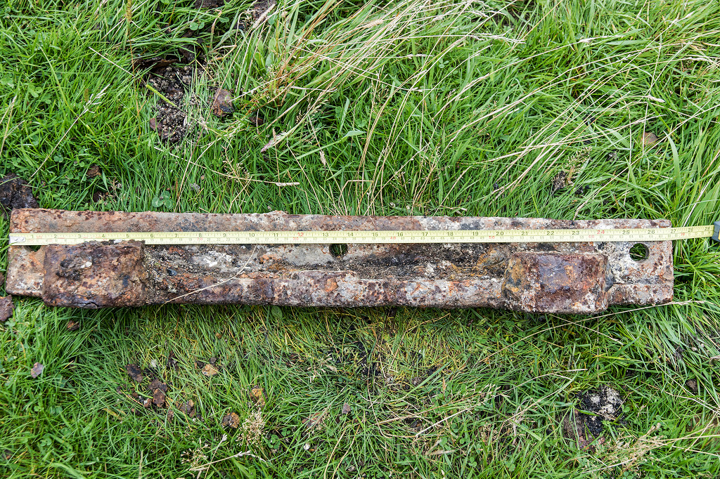
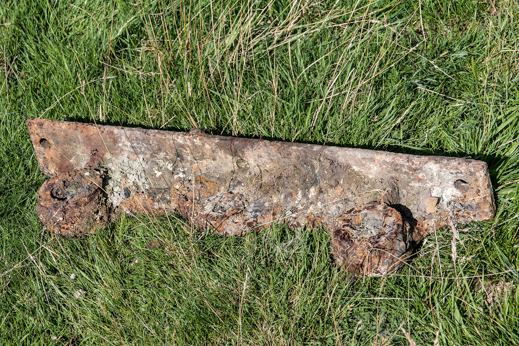
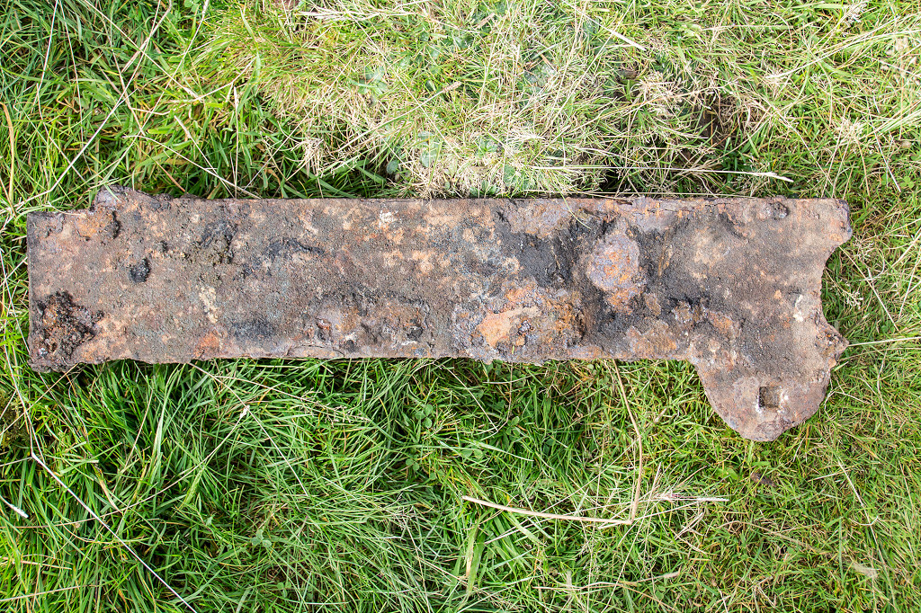
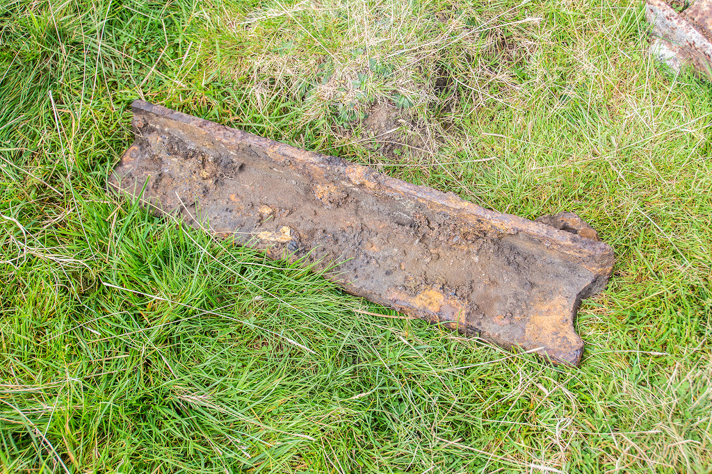
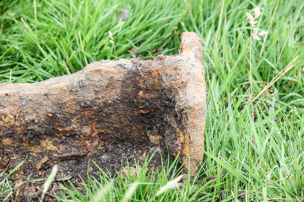
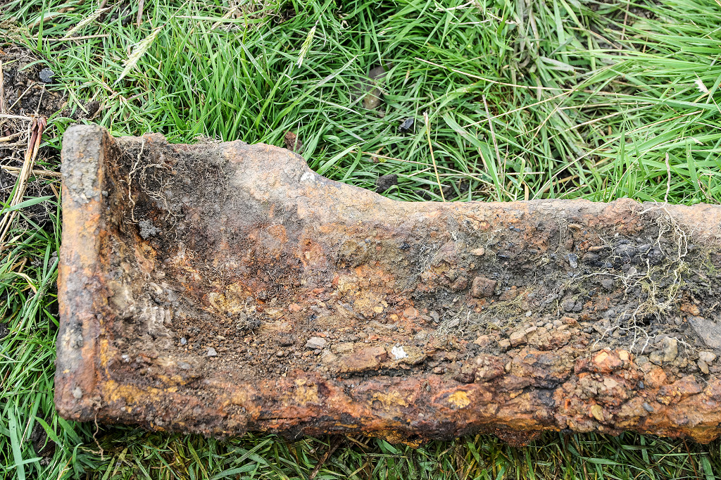
 Tramplates at Blaen Dyar |
 Tramplates at Blaen Dyar |
 Tramplates at Blaen Dyar |
 Tramplates at Blaen Dyar |
 Tramplates at Blaen Dyar |
 Tramplates at Blaen Dyar |
 Tramplates at Blaen Dyar |
 Tramplates at Blaen Dyar |
 Tramplates at Blaen Dyar |
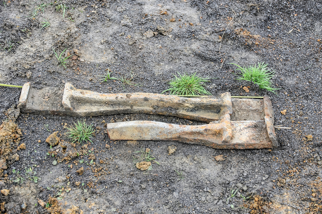 Tramplates at Blaen Dyar |
 Tramplates at Blaen Dyar |
 Tramplates at Blaen Dyar |
 Tramplates at Blaen Dyar |
 Tramplates at Blaen Dyar |
 Tramplates at Blaen Dyar |
 Tramplates at Blaen Dyar |
 Tramplates at Blaen Dyar |
 Tramplates at Blaen Dyar |
 Tramplates at Blaen Dyar |
 Tramplates at Blaen Dyar |
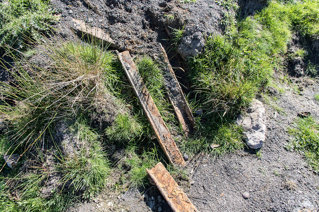 Tramplates at Blaen Dyar |
 Tramplates at Blaen Dyar |
 Tramplates at Blaen Dyar |
 Tramplates at Blaen Dyar |
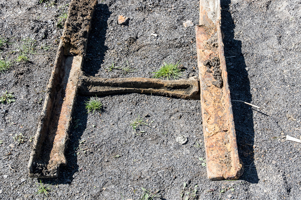 Tramplates at Blaen Dyar |
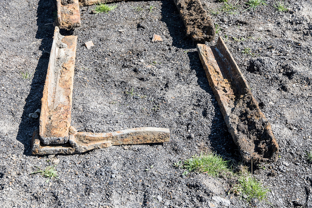 Tramplates at Blaen Dyar |
 Tramplates at Blaen Dyar |
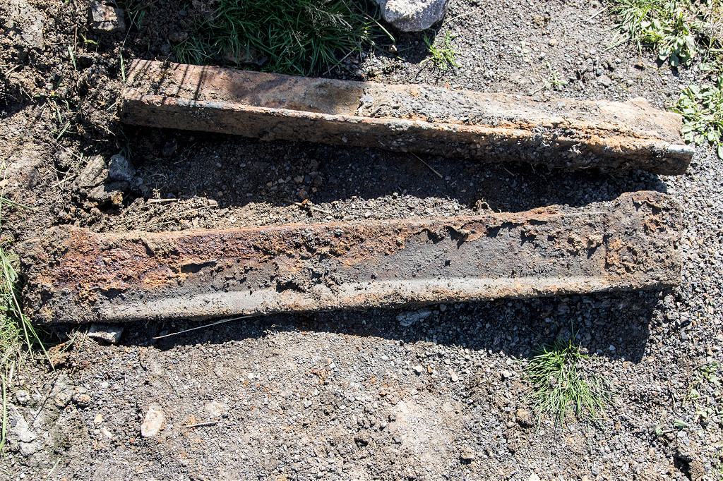 Tramplates at Blaen Dyar |
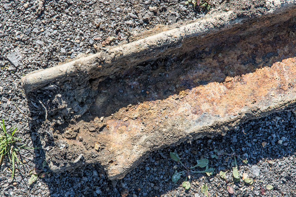 Tramplates at Blaen Dyar |
 Tramplates at Blaen Dyar |
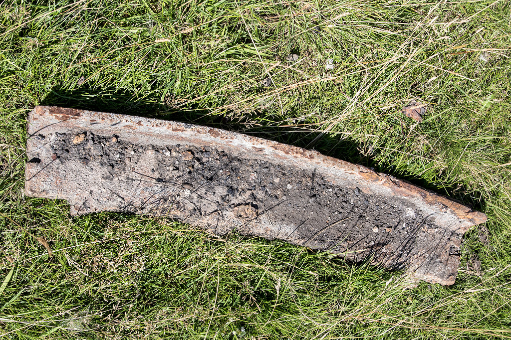 Tramplates at Blaen Dyar |
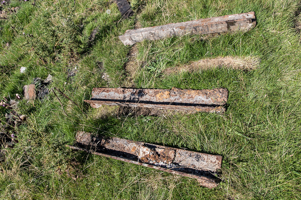 Tramplates at Blaen Dyar |
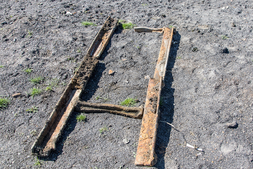
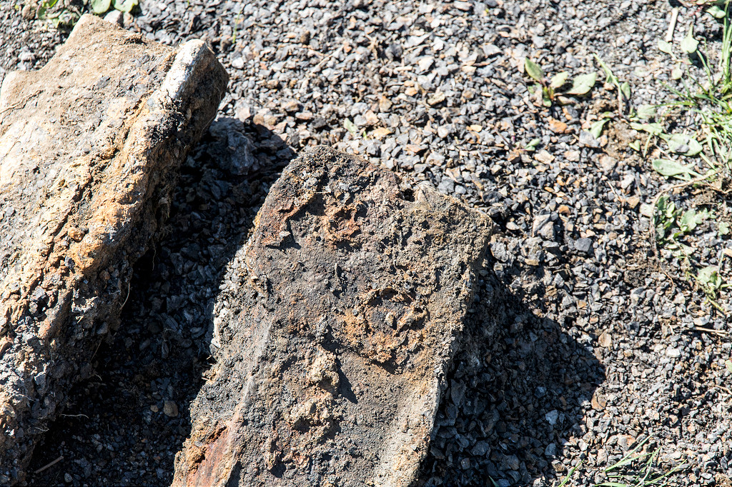
 A rebated tramplate at Blaen Dyar |
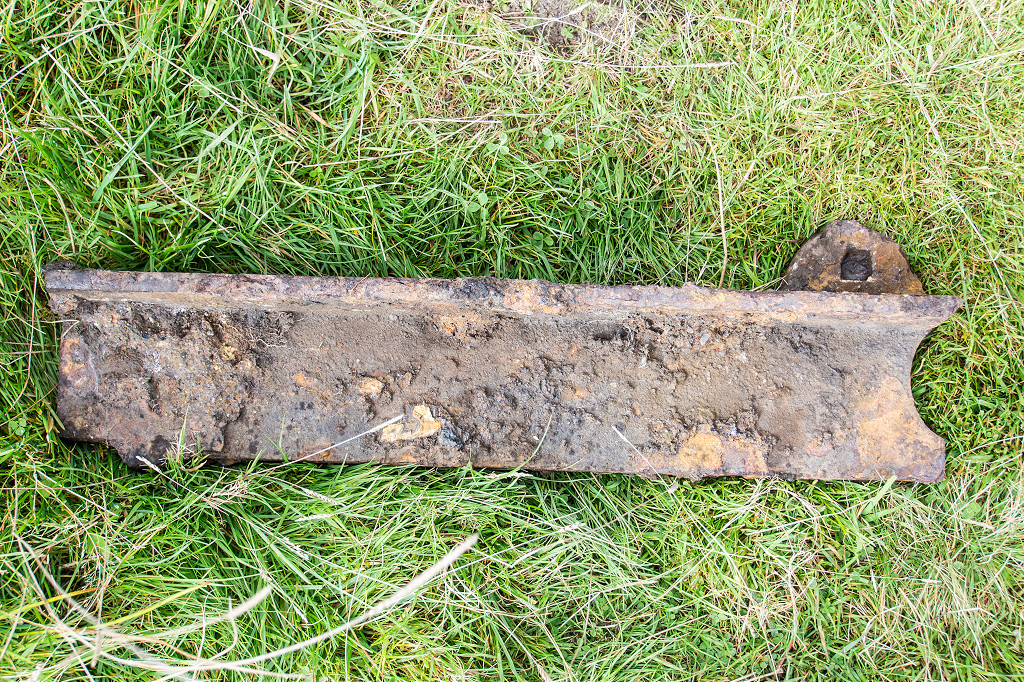 A rebated tramplate at Blaen Dyar |
 A rebated tramplate at Blaen Dyar |
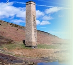
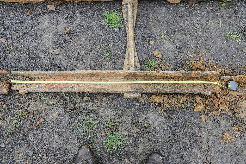
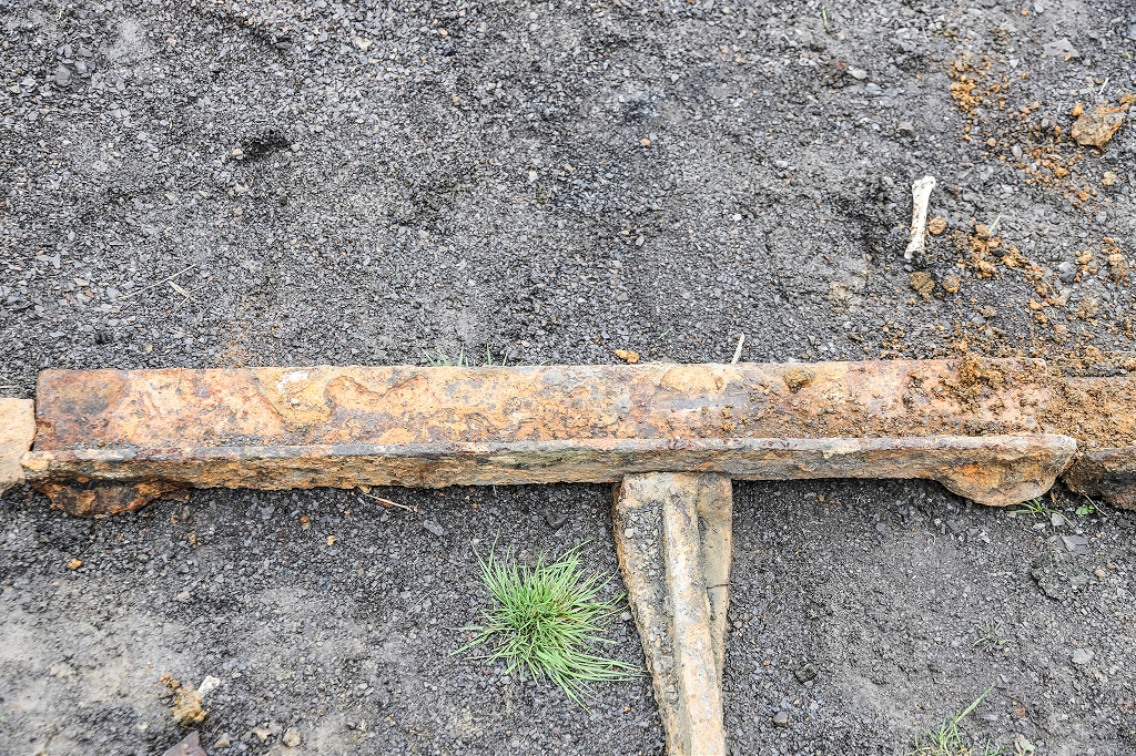
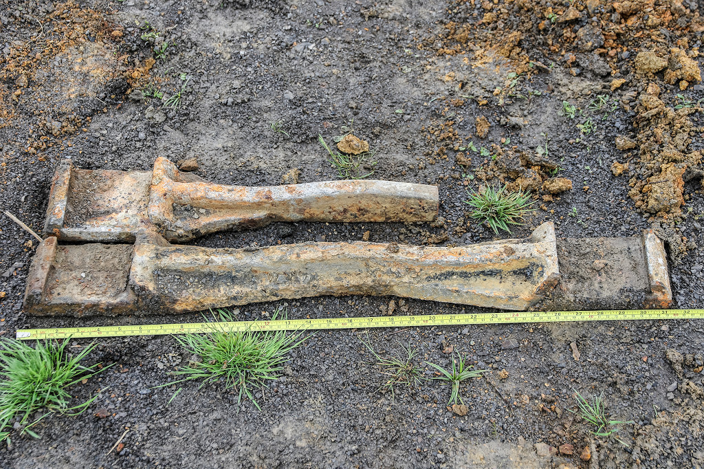
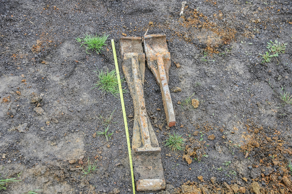
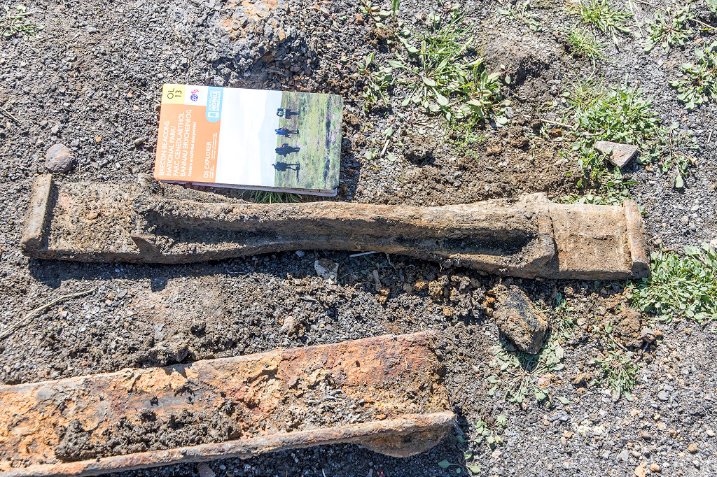
 Iron column at Blaen Dyar |
 Iron column at Blaen Dyar |
 Iron column at Blaen Dyar |
 Iron column at Blaen Dyar |
 Iron column at Blaen Dyar |
 Iron column at Blaen Dyar |
 Iron column at Blaen Dyar |
Industrial WalesCollieries, Ironworks, Quarries, Railways, Canals, Tramroads, Tunnels, Culverts and so much more....
|
Brickworks of WalesBricks are 'History with a label' so here's the story of the Brickworks of Wales - photos, maps and the products themselves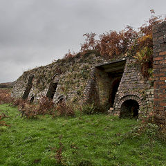
|
Around the WorldMy travels around the UK and the Whole Wide World in search of industries, railways, trams and mines to name a few.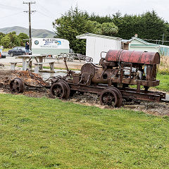
|
Boundary Stones and MilepostsBoundary Stones, Mileposts and other markers in simple alphabetical order of their initials, name or site.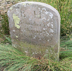
|
Ships and ShippingShips around the World in simple alphabetical order of their name (or apparent area if I can't read the name).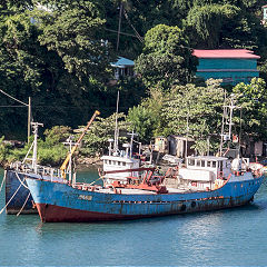
|
The Site Map and IndexA full list of all the pages of the whole website in just one place, so you should find exactly what you are looking for.
|
About the SiteThe background and technical details about the site, plus a contact page and links to other sites - and a warning !!
|
Contact MeSomething to add? A great photo? Something wrong? or need to know more about things? Just drop me a line here.
|
Further ReadingYou can find lots of local and other very helpful websites, books, magazines and Facebook groups all listed here.
|