The Industrial Archaeology and History of the Clydach Gorge
Click on the button to go to :-
Click on the thumbnail to enlarge a photo or map and sometimes read more about it.
Then click 'Full Size' on the toolbar to see it in all its glory.
Brynmawr to Black Rock
The Clydach Railroad from Pont Clydach to Black Rock
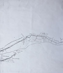
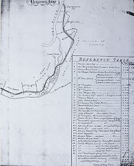
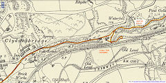
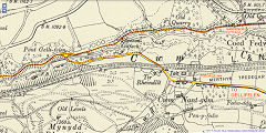
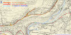
The Clydach Railroad starts its journey down the Clydach Gorge but very little is left following the building and dualling of the A465. Heavy engineering is still in progress in 2020 so I've no idea how little has survived. A short branch went South to the Brecon Boat Co's levels and then a longer branch crossed the river at Pont Harry Isaac and went up to Gellifelen Collieries. The Llammarch Tramroad took most of this traffic so the branch was little used. Another short spur entered Black Rock Quarry passing under the original Turnpike Road. The quarries at Darren Ddu were served by an incline running up from the lime works.
Pont Clydach
|
Pont Nant Gam
|
Black Rock
|
Pont Clydach - SO 1960 1214
The original Pont Clydach is under the Heads of the Valley road roundabout at the entrance to Brynmawr. It carried both the Turnpike and the Railroad until the A465 arrived and I believe it has survived the dualling of the road. Old pre-1880 levels just below the bridge were uncovered during the roadworks, originally just nicks in the banking, like the Hafod Arch example.
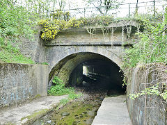
The original Pont Clydach
|
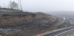
Levels below Pont Clydach
|
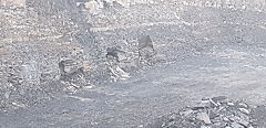
Levels below Pont Clydach
|
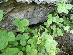
Pre-1880 level near Hafod Arch
|
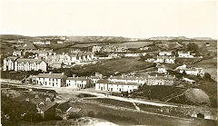
The original Pont Clydach
|
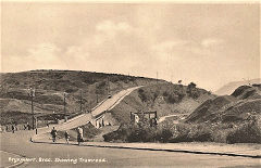
The original Pont Clydach
|
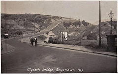
The original Pont Clydach
|
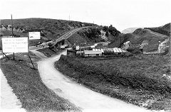
The original Pont Clydach
|
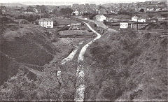
The original Pont Clydach
|
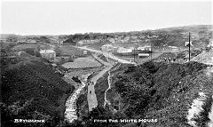
The original Pont Clydach
|
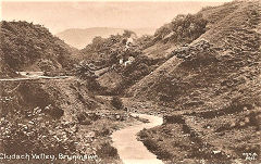
The top of Clydach Gorge
|
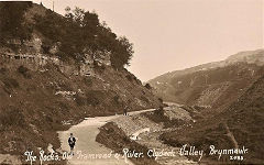
The top of Clydach Gorge
|
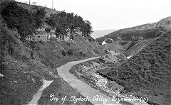
The top of Clydach Gorge
|
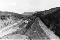
The top of Clydach Gorge
|
|
|
Coal Tar Houses and the Brecon Boat Co levels - SO 1999 1217
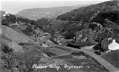
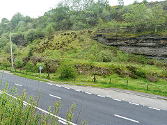
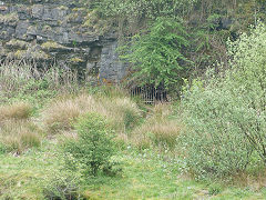
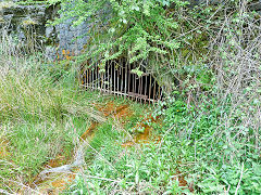
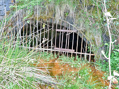
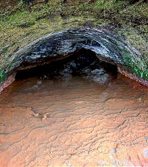
The Brecon Boat Co levels (occasionally known as Clydach Colliery) were served by a short spur off the Railroad and later a siding off the MTAR with Coal Tar Houses next to them.
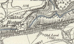
Coal Tar Houses, 1878
|
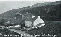
Coal Tar Houses and Railroad
|
Coal Tar Houses and Railroad
|
Brecon Boat Co tramroad
|
Brecon Boat Co drainage level
|
Brecon Boat Co drainage level
|
Brecon Boat Co drainage level
|
Brecon Boat Co drainage level
|
|
Coal Tar Cave
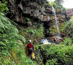
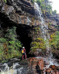
Gwent Caving Club explored Coal Tar Cave in the Summer of 2019. It is a man-made cave to divert the River Clydach away from the coal workings of the Brecon Boat Co, which are above it.
Coal Tar Cave
|
Coal Tar Cave
|
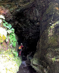
Coal Tar Cave
|
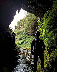
Coal Tar Cave
|
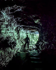
Coal Tar Cave
|
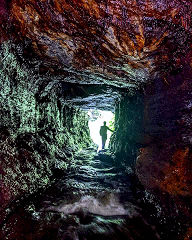
Coal Tar Cave
|
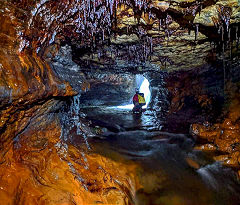
Coal Tar Cave
|
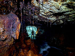
Coal Tar Cave
|
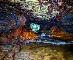
Coal Tar Cave
|
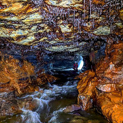
Coal Tar Cave
|
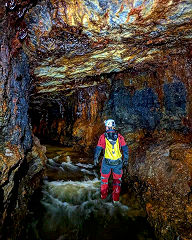
Coal Tar Cave
|
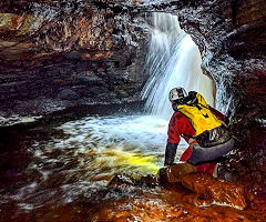
Coal Tar Cave
|
Hafod Arch - SO 2021 1226
The Hafod Arch was rebuilt in 2011 after becoming dangerously unstable. The setting was rather spoilt by the Brynmawr sewerage pipeline running above it but thats been demoished now.
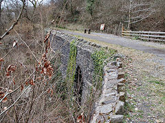
Hafod Arch, Clydach Railroad
|
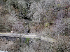
Hafod Arch, Clydach Railroad
|
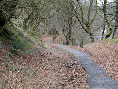
The Clydach Railroad at Hafod Arch
|
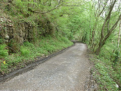
The Clydach Railroad at Hafod Arch
|
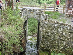
Hafod Arch, Clydach Railroad
|
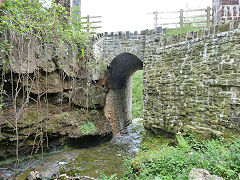
Hafod Arch, Clydach Railroad
|
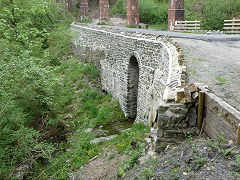
Hafod Arch, Clydach Railroad
|
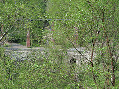
Hafod Arch, Clydach Railroad
|
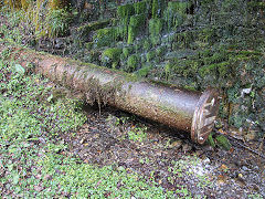
The sewerage pipe, Hafod Arch
|
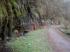
The sewerage pipe, Hafod Arch
|
The sewerage pipe, Hafod Arch
|
The sewerage pipe, Hafod Arch
|
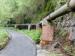
The sewerage pipe, Hafod Arch
|
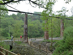
The sewerage pipe, Hafod Arch
|

Pre-1880 level near Hafod Arch
|
|
Hafod Arch, Clydach Gorge
|
Hafod Arch, Clydach Gorge
|
|
|
Cwm Nant Gam and The George Inn - SO 2086 1224
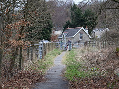
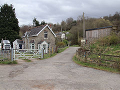
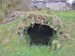
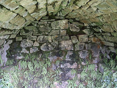
The Gelli-felen branch of the Clydach Railroad crossed Pont Harry Isaac and came up through Cwm Nant Gam, where the George Inn stood up to the 1920s. All that remains of it now are the cellars. The branch ended up at Gellifelen Collieries, which were better served by the Llammarch Tramroad on that side of the gorge.
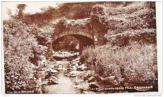
Pont Harry Isaac
|
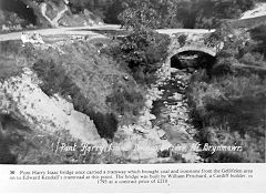
Pont Harry Isaac and the Railroad
|
The Clydach Railroad / MTAR crossing
|
The Clydach Railroad / MTAR crossing
|
The cellars of the George Inn
|
The cellars of the George Inn
|
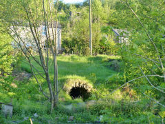
The cellars of the George Inn
|
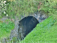
Clydach Railroad bridge
|
Gardeners Cottage - SO 2110 1245
The well-known photo of the Clydach Railroad at Gardeners Cottage was taken by 'Judges' for a commercial picture postcard, probably around 1910. It shows the railroad with conventional rails but it was probably little used by then. The 'Judges' photographer also took another photo looking West. The whole area now lies under the A465 dual carriageway.
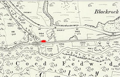
Gardeners Cottage, Black Rock
|
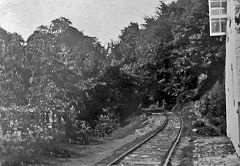
Gardeners Cottage, Black Rock
|
Gardeners Cottage, Black Rock
|
Near Gardeners Cottage
|
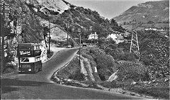
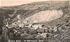
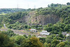
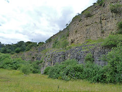
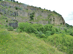
Black Rock Quarry - SO 2135 1255
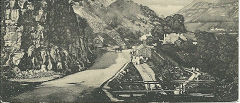
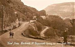
Opened by 1811 and closed after 1944. It was linked to the Clydach Railroad by a steep branch crossing the turnpike road on the level and then a tunnel underneath it.
Black Rock Quarry and branch
|
Black Rock Quarry
|
Black Rock Quarry
|
Black Rock Quarry
|
Black Rock Quarry
|
Black Rock Quarry
|
Black Rock Quarry
|
|
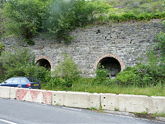
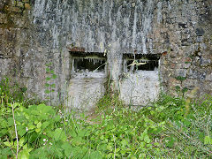
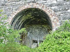
Black Rock Limeworks and Daren Ddu Quarry - SO 2184 1275
Opened in the 1790s, the current kilns date from the end of the 19th century and were connected to the Clydach Railroad by a short incline. A much longer incline leads up to Daren Ddu quarries.
Black Rock Limeworks
|
Black Rock Limeworks
|
Black Rock Limeworks
|
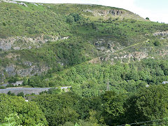
Black Rock Limeworks and incline
|
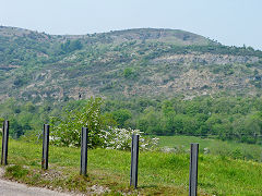
Daren Ddu Quarry
|
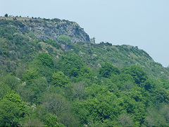
Daren Ddu Quarry
|
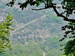
Daren Ddu Quarry and incline
|
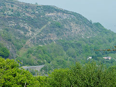
Daren Ddu Quarry and incline
|
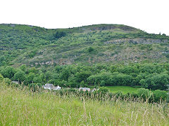
Daren Ddu Quarry and incline
|
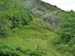
Daren Ddu Quarry and incline
|
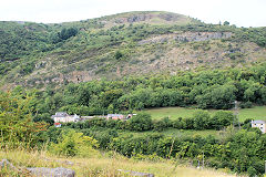
Daren Ddu Quarry
|
|
Craig-y-Ffynnon cave at Daren Ddu Quarry
There's a cave (not a mine, a cave) up on Daren Ddu, all safely locked up, but if you're an experienced caver and you know the man with the key, then you're in. And you're in for a surprise! Inside there's a short length of tramway and a couple of wagons that were used for securing the entrance. Thanks to Jamie Larke of the Gwent Caving Club for sharing this little gem.
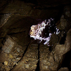
Craig-y-Ffynnon cave tramway
|
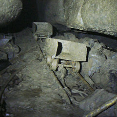
Craig-y-Ffynnon cave tramway
|
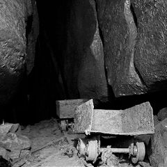
Craig-y-Ffynnon cave tramway
|
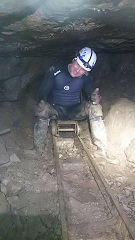
Craig-y-Ffynnon cave tramway
|
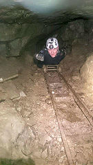
Craig-y-Ffynnon cave tramway
|
|
Black Rock to Gilwern
The Clydach Railroad from Cheltenham to Gilwern
The Clydach Railroad approaches the Abergavenny - Merthyr Turnpike level crossing at Cheltenham from the West, the cellars of the three-storey houses could have been warehouses. The collection of tinplate signs includes an 'Abergavenny - Monmouth Road' station sign at the top - and as for 'Ringer's Shag', the less said, the better. The cast-iron sign is headed 'Roads Act 1920, Section 7 (4)' and the footer lists the exceptions. It continues its journey past the Bellevue Inn, through Maes-y-Gwarthfa, to Gilwern and the Llanelly and Clydach Wharves on the Brecon and Abergavenny Canal.
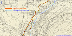
The Railroad at Cheltenham
|
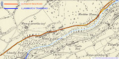
The Railroad at Maes-y-Gwarthfa
|
|
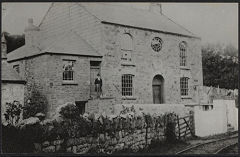
The Railroad at Bethlehem Chapel
|
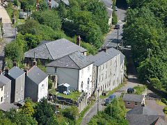
Clydach Railroad and warehouses
|
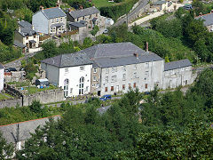
Clydach Railroad and warehouses
|
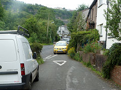
Turnpike crossing looking West
|
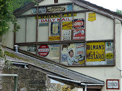
The tinplate signs on the shop
|
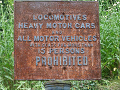
The 1920 roadsign on the Railroad
|
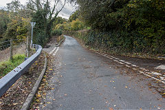
Approaching the Bellevue Inn
|
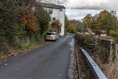
Passing the Bellevue Inn
|
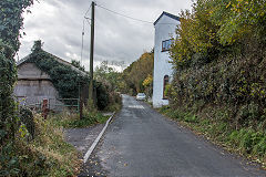
Passing the Bellevue Inn
|
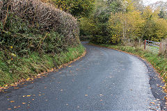
Heading to the Bethlehem Chapel
|
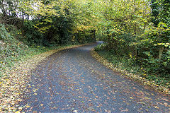
Heading to the Bethlehem Chapel
|
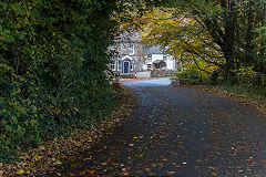
Heading to the Bethlehem Chapel
|
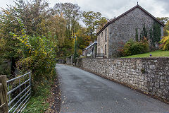
At the Bethlehem Chapel
|
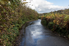
Heading to Maes-y-gwarthfa
|
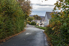
Passing through Maes-y-gwarthfa
|
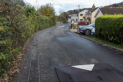
Passing through Maes-y-gwarthfa
|
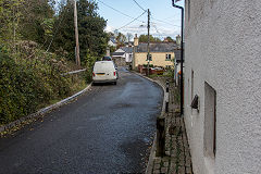
Passing through Maes-y-gwarthfa
|
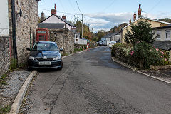
Passing through Maes-y-gwarthfa
|
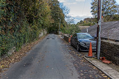
Passing through Maes-y-gwarthfa
|
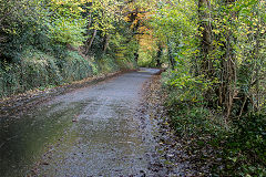
Heading to Machine House
|
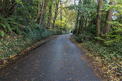
Heading to Machine House
|
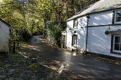
Railroad at Machine House
|
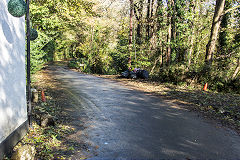
Glangrwyney branch junction
|
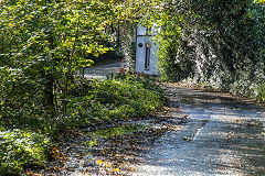
Railroad at Machine House
|
|
Branch from Clydach Ironworks
It is quite probable that there was a branch from Clydach Ironworks up to the Clydach Railroad.
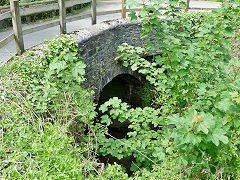
Clydach Railroad bridge, West side
|
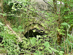
Clydach Railroad bridge, East side
|
|
Incline above Maesygwartha - SO 2346 1433
There appears to be a well-built incline at this location which local opinion states was built as a carriage road from the Rectory in Maesygwartha to Llanelly Church on the hill above. It's very well constructed and a less steep route would seem to have been a better idea, given the effort involved.
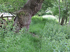
Incline at Maesygwartha. Gilwern
|
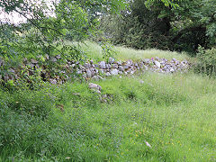
Incline at Maesygwartha. Gilwern
|
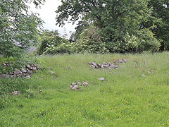
Incline at Maesygwartha. Gilwern
|
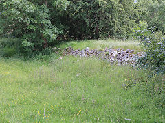
Incline at Maesygwartha. Gilwern
|
Llanelly Wharf - SO 2424 1469
The main line of the Railroad continued along Maes-y-gwartha Road from Machine House to Llanelly Wharf and limekilns. These are heavily overgrown but can be viewed from the towpath, (preferrably in Winter).
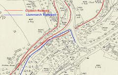
Gilwern Wharf tramroads
|
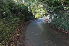
Heading to Llanelly Wharf
|
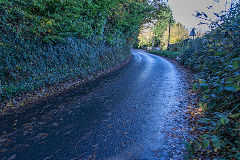
Heading to Llanelly Wharf
|
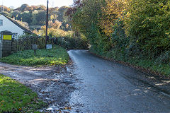
Heading to Llanelly Wharf
|
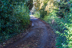
Railroad at Llanelly Wharf
|
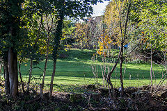
Railroad at Llanelly Wharf
|
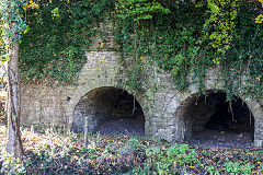
Llanelly Wharf limekilns
|
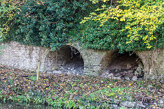
Llanelly Wharf limekilns
|
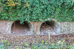
Llanelly Wharf limekilns
|
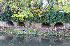
Llanelly Wharf limekilns
|
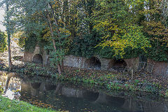
Llanelly Wharf limekilns
|
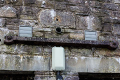
A bar rail from the Railroad
|
