Industrial Wales - Monmouthshire's Eastern Valley
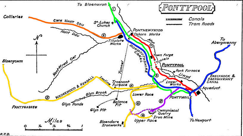
Pontypool's Canals and Tramroads
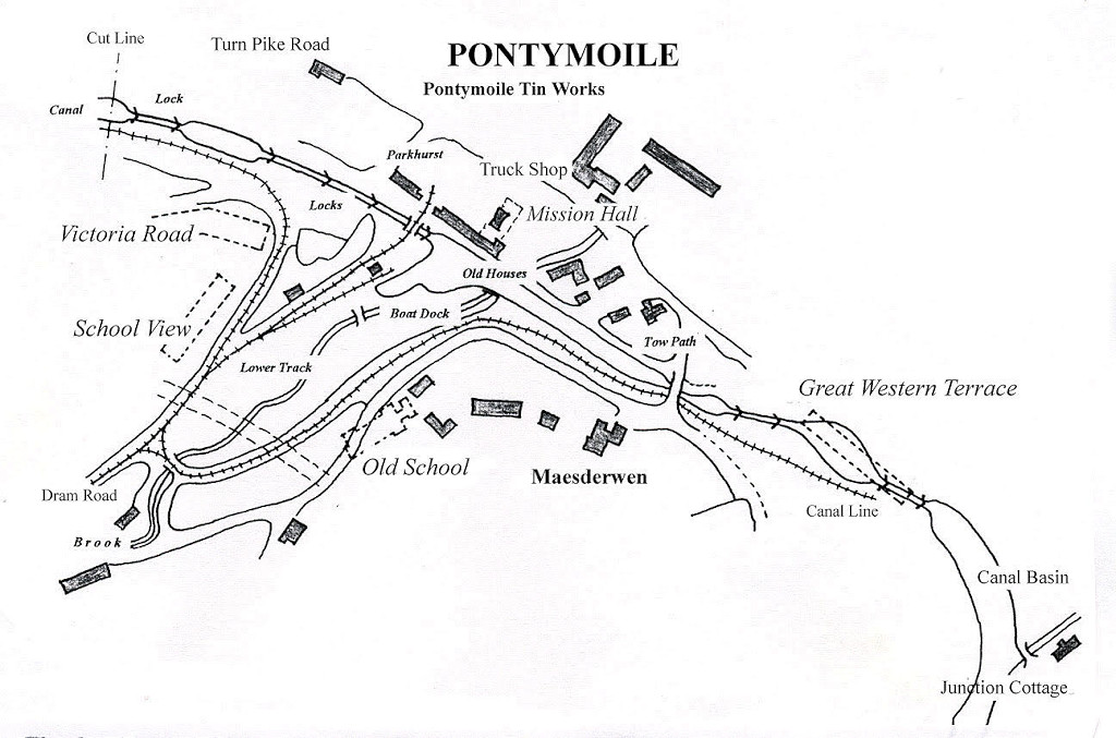
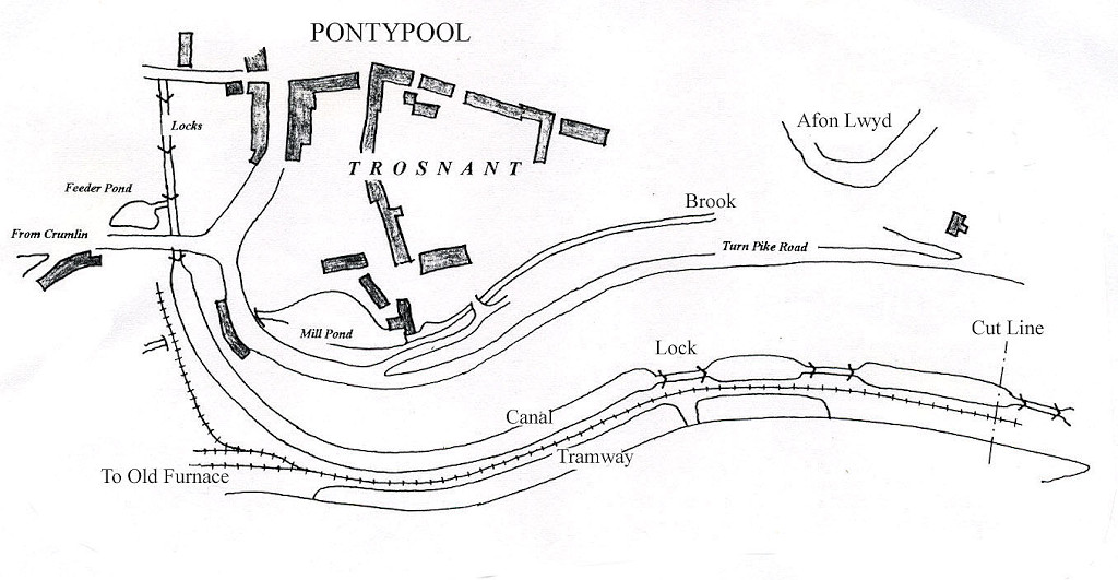
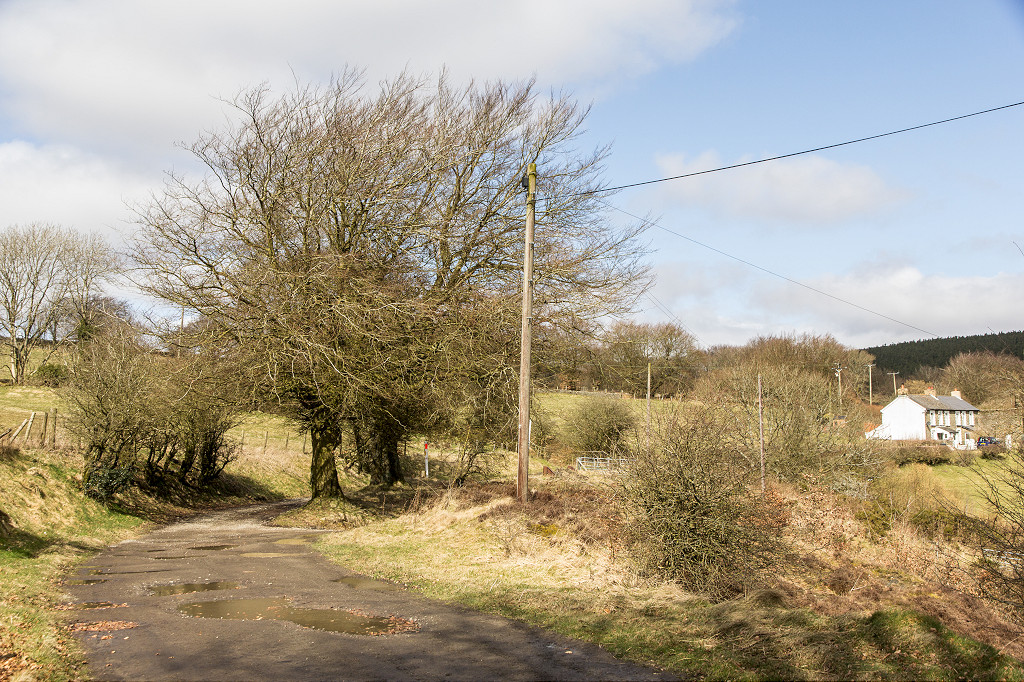
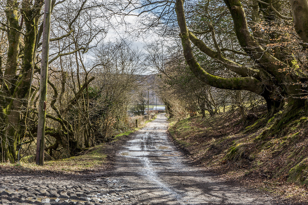
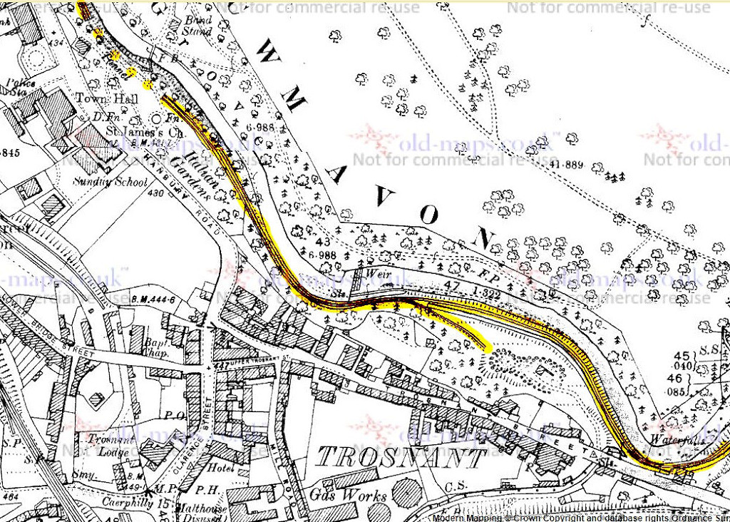
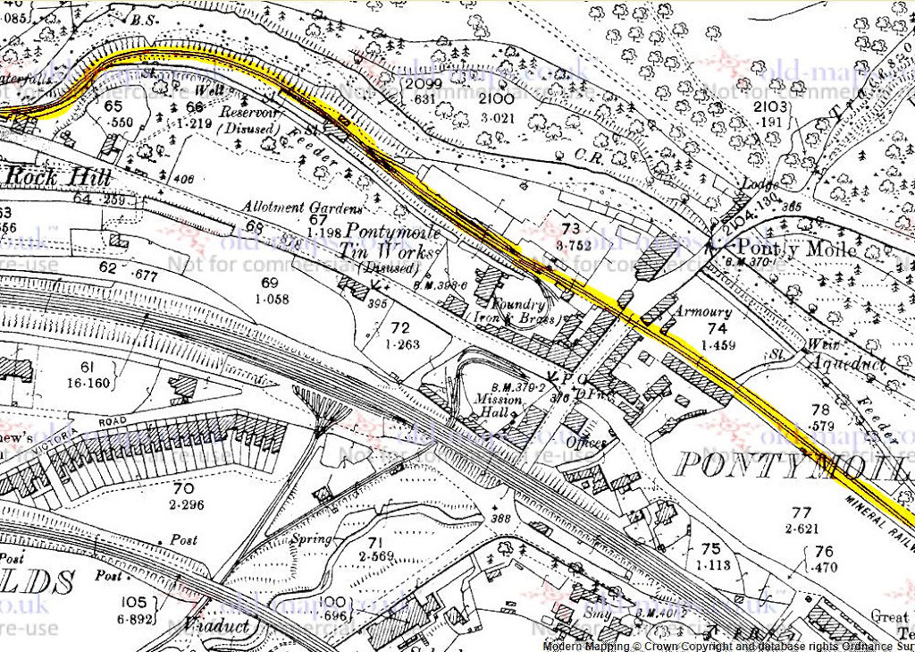
From Pontymoile to Pontnewynydd
Search the site here
|
|
Industrial Wales - Monmouthshire's Eastern Valley
Pontypool's Canals and Tramroads
From Pontymoile to Pontnewynydd
|
Search the site here
|
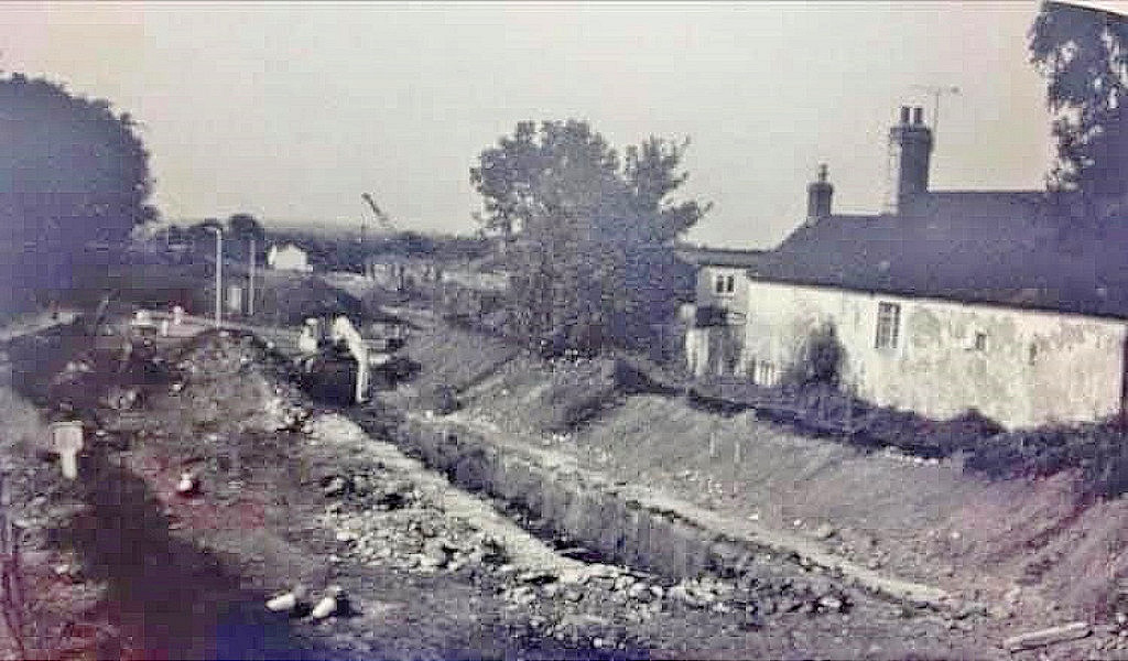
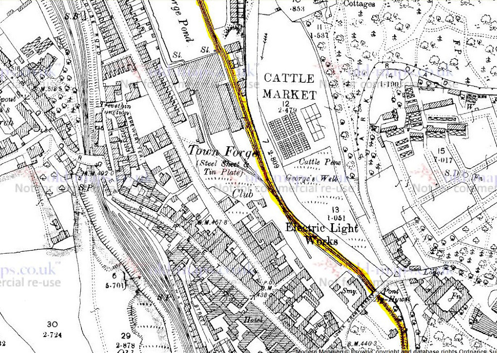
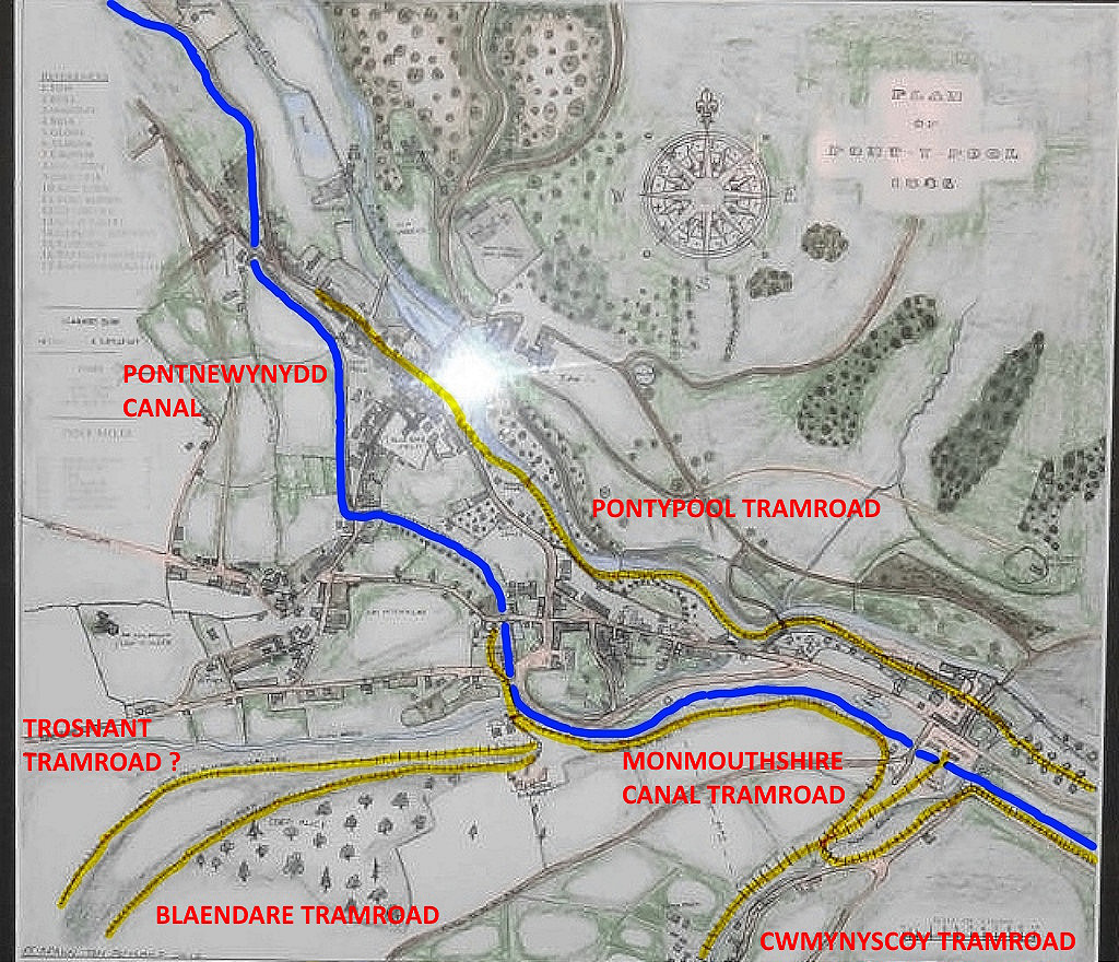 The Monmouthshire Canal to Pontnewynydd |
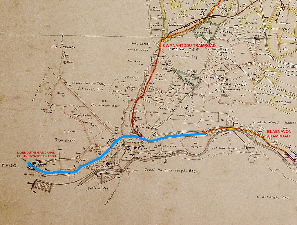 The Monmouthshire Canal at Pontnewynydd |
 The Tramroads of Pontypool and Pontnewyndd |
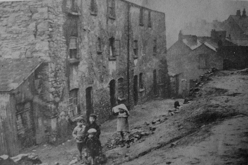
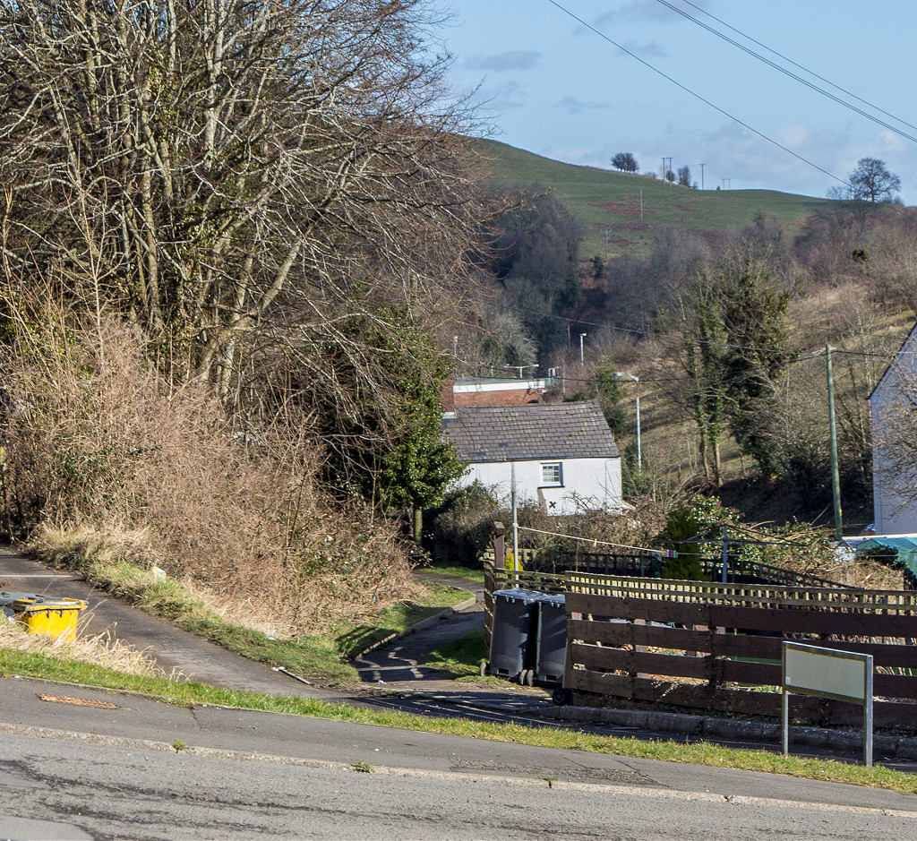
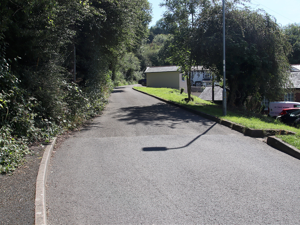
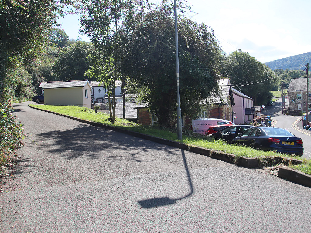
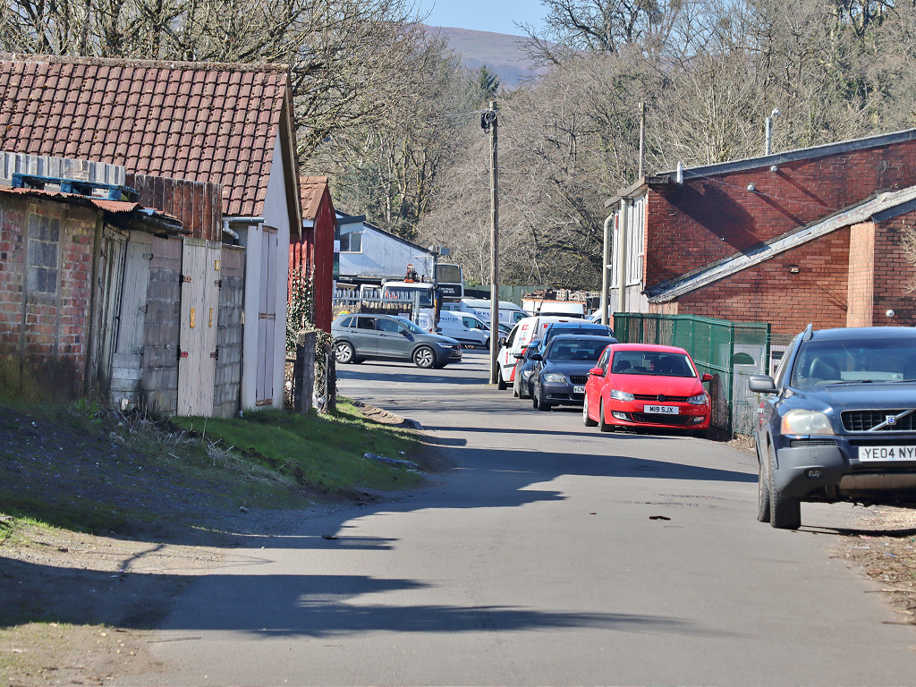
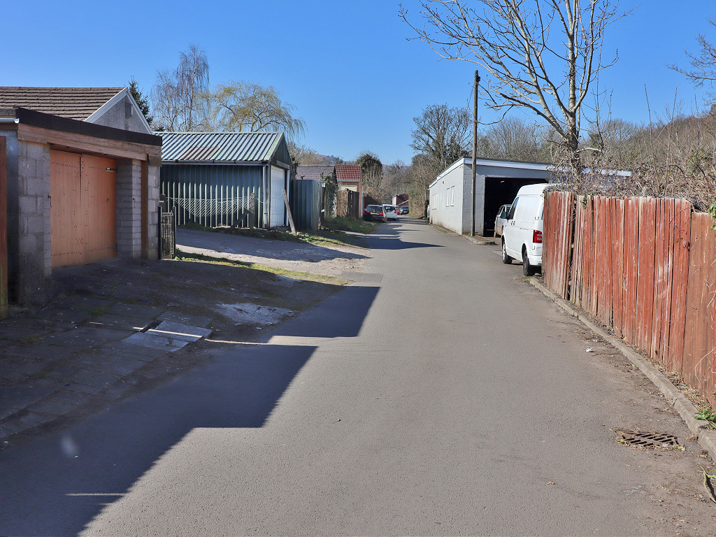
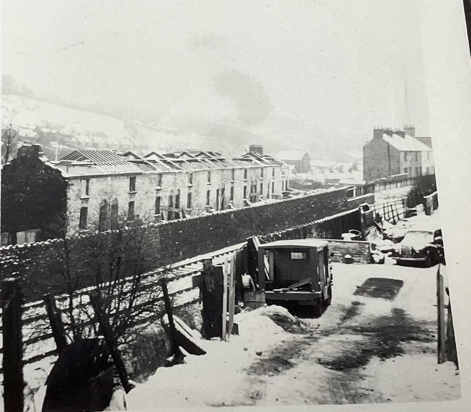 Pontnewynydd, Railway Parade |
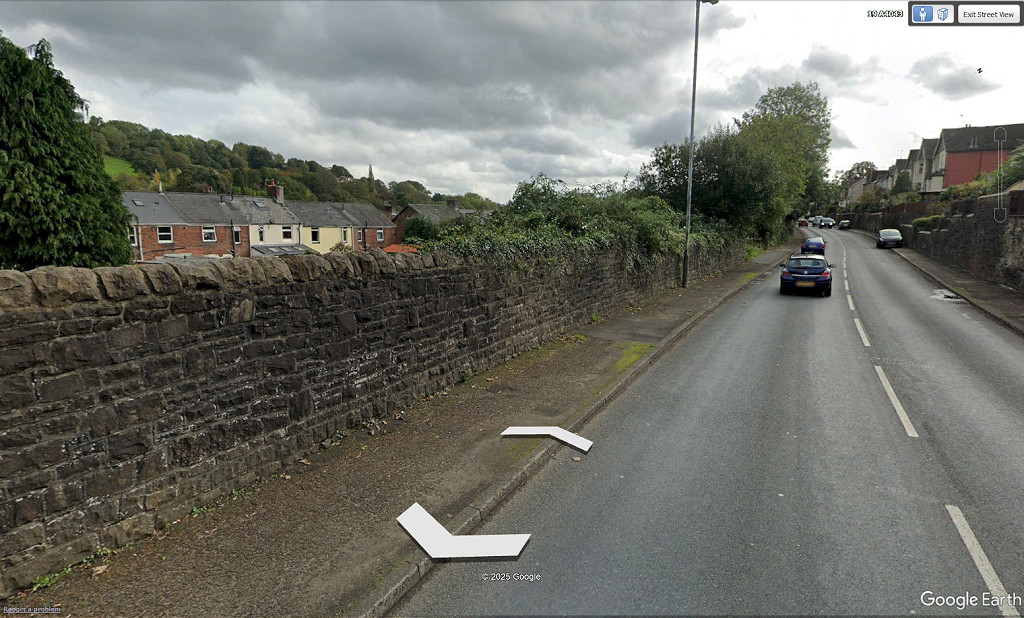 Pontnewynydd, Railway Parade today |
 Pontnewynydd, Railway Parade today |
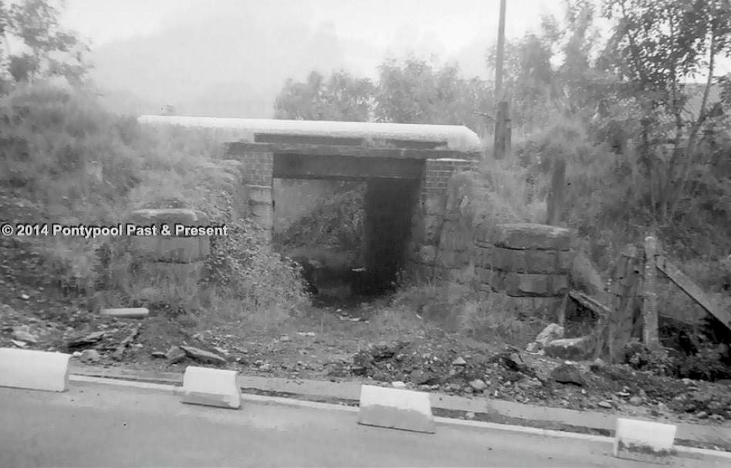
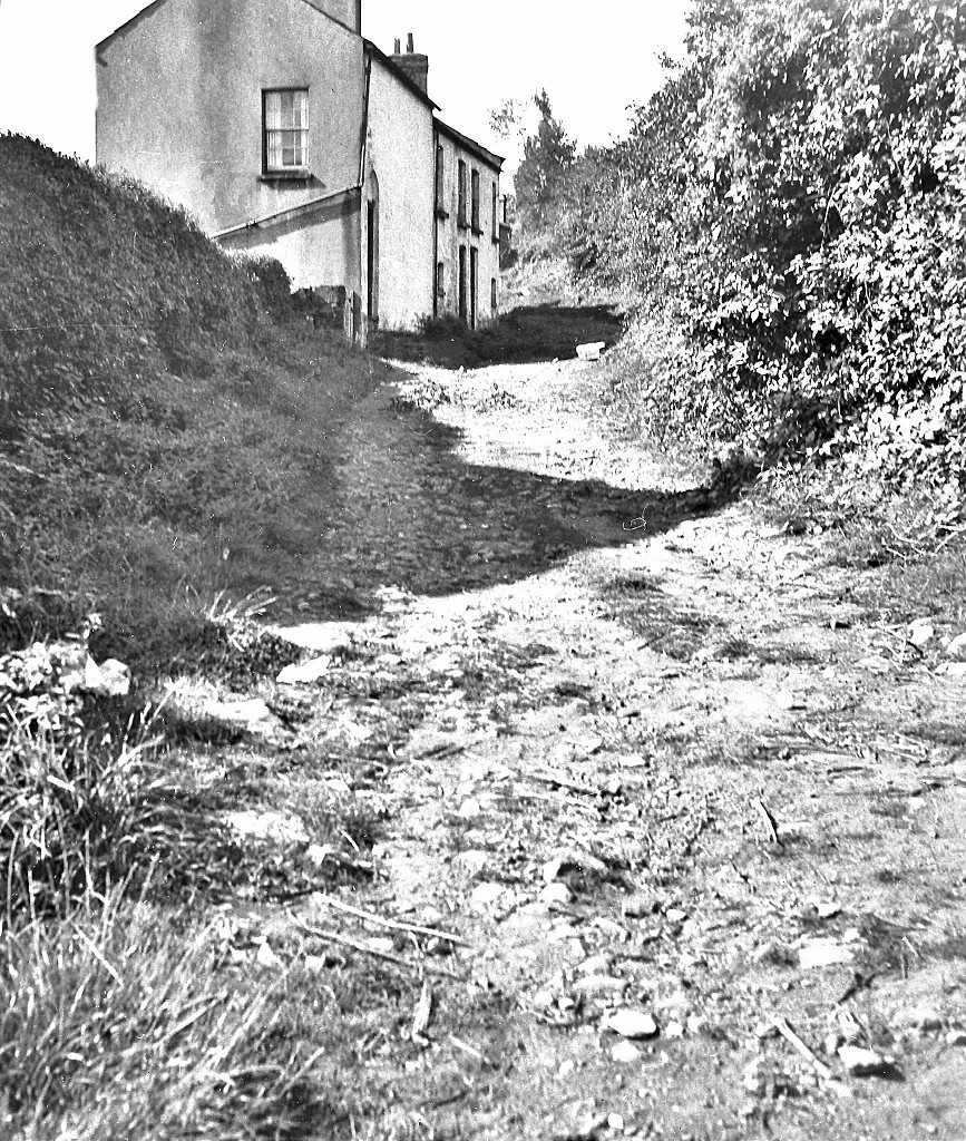
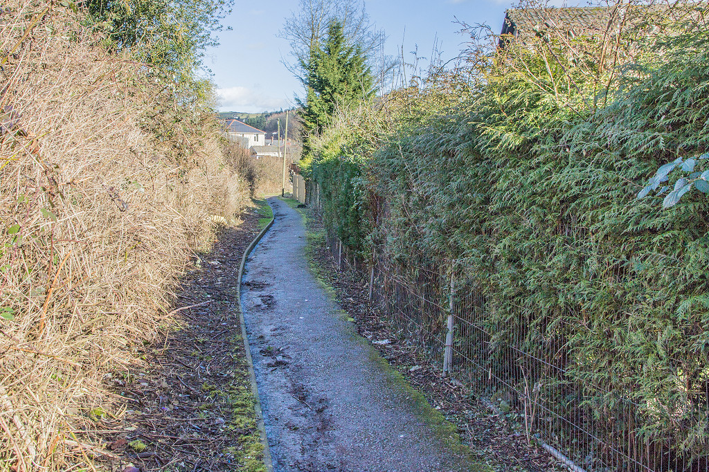
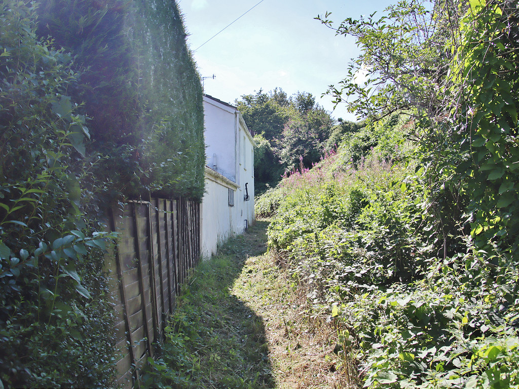
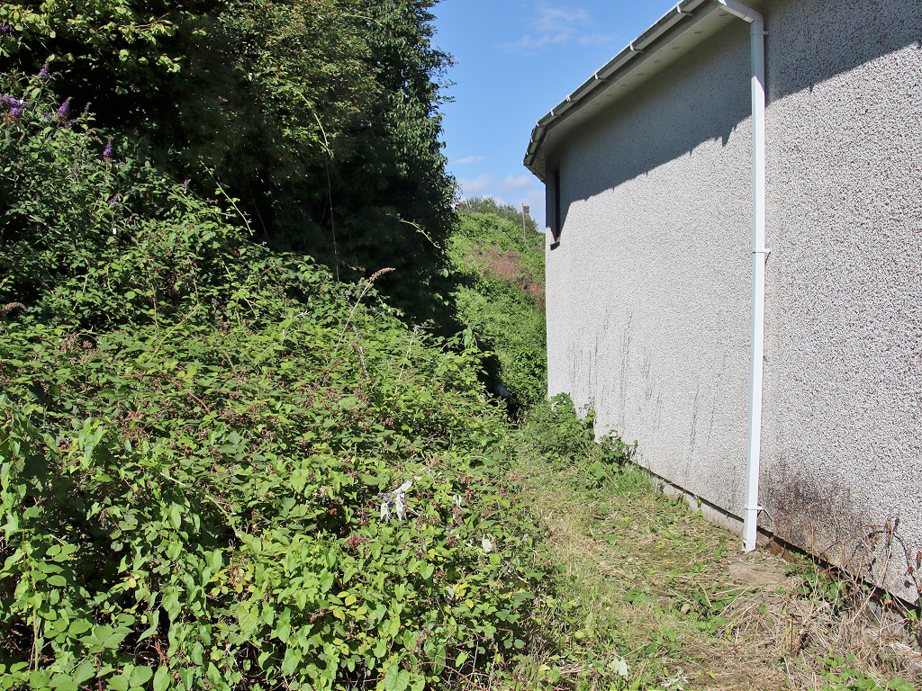
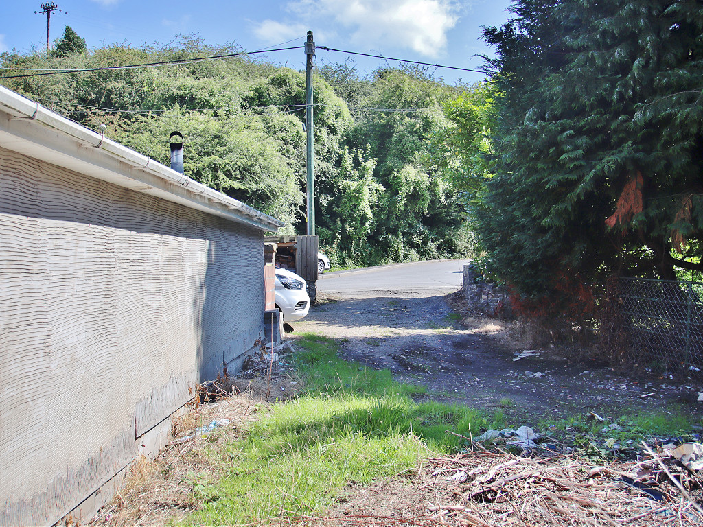
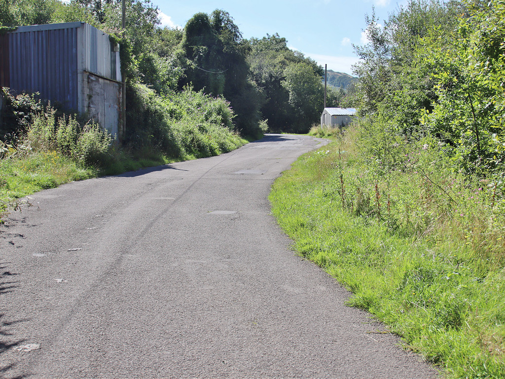
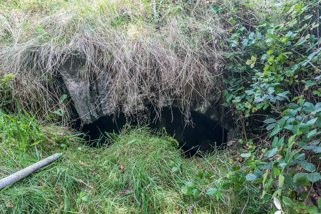
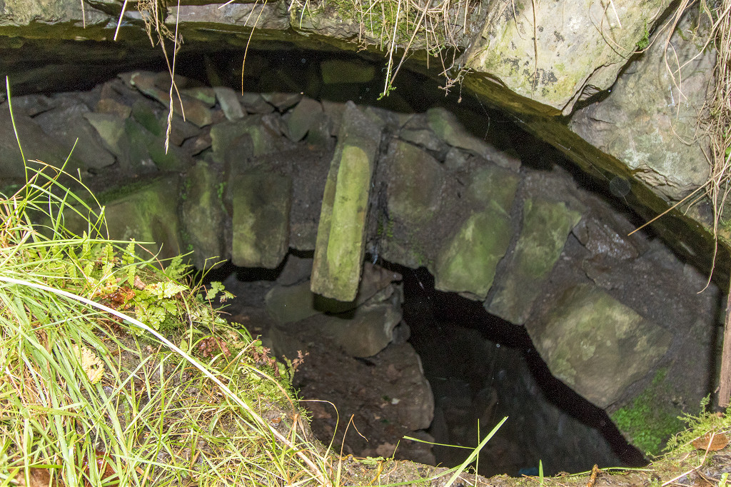
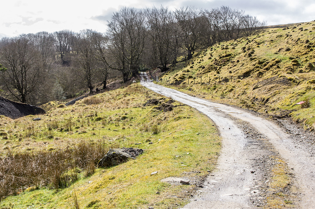
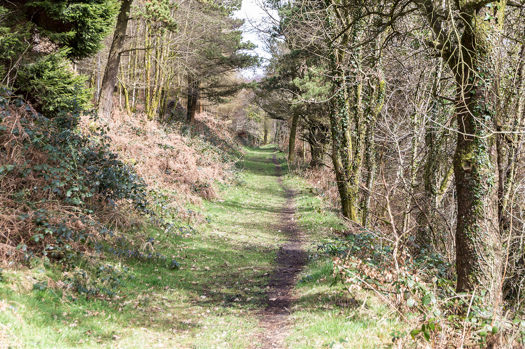
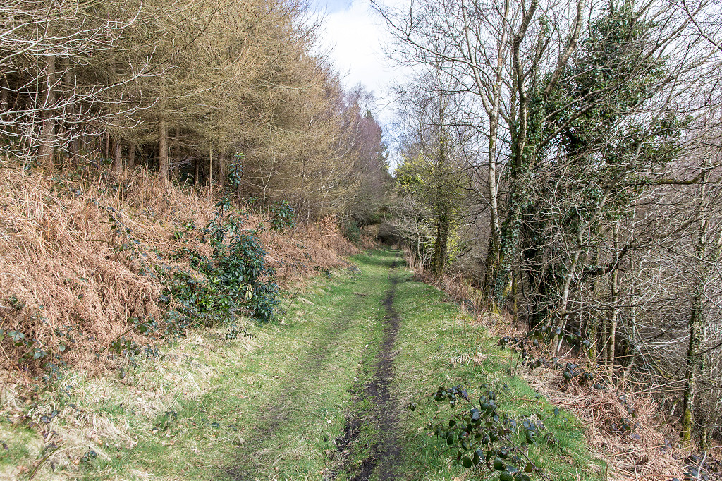
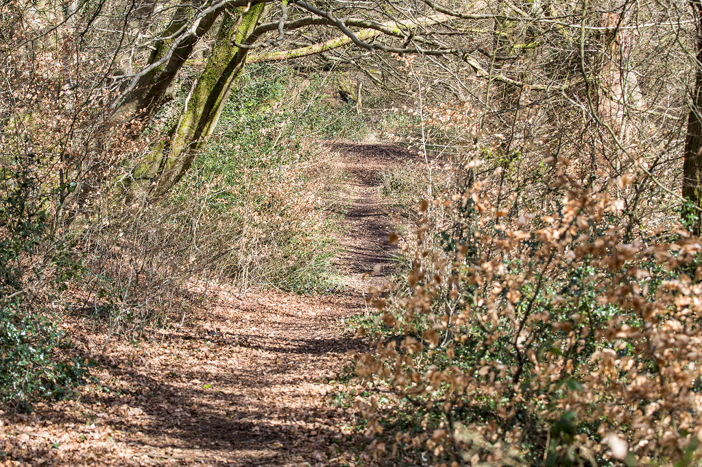
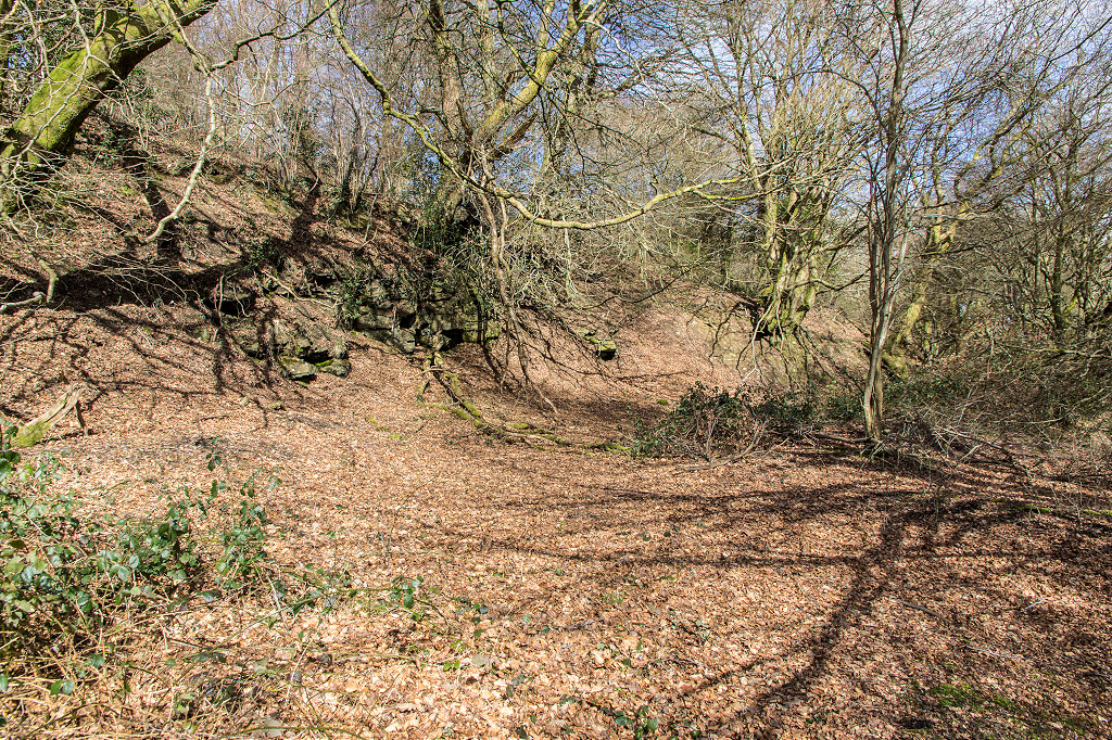
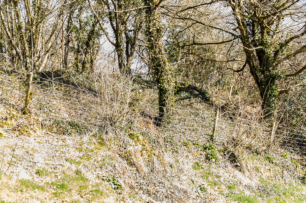
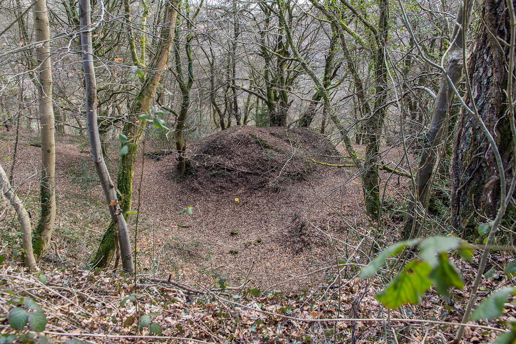
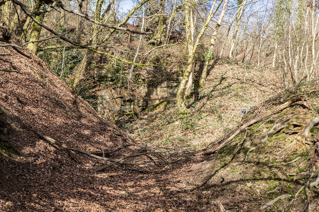
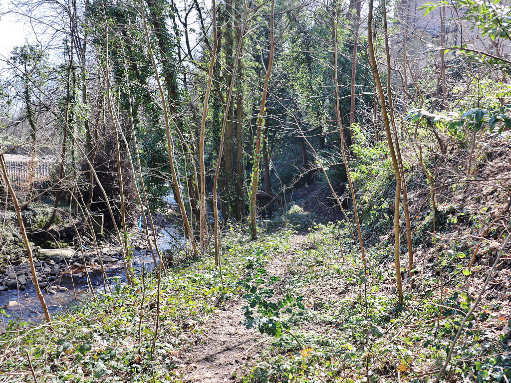
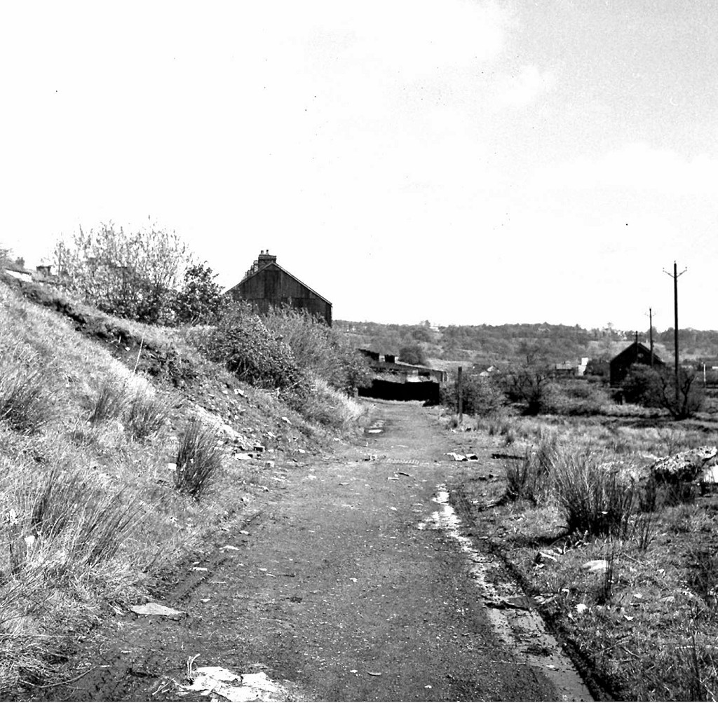
 Remains of the canal, 1981 |
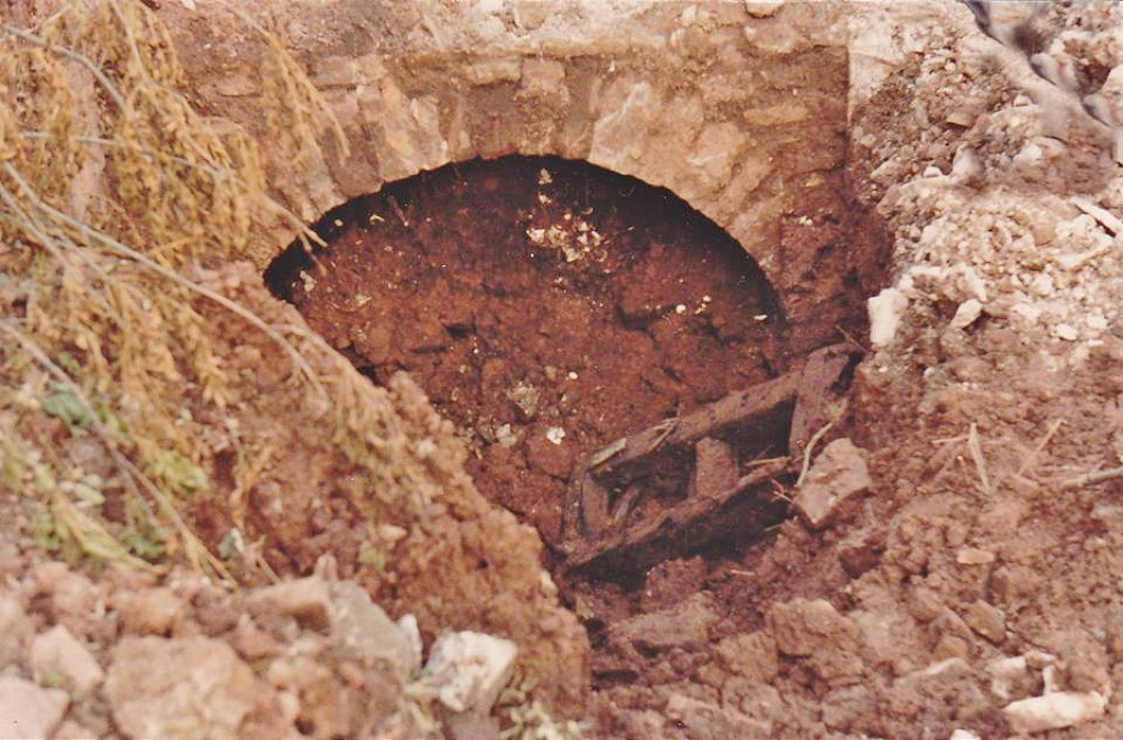 Remains of the canal, 1981 |
 Remains of the canal, 1981 |
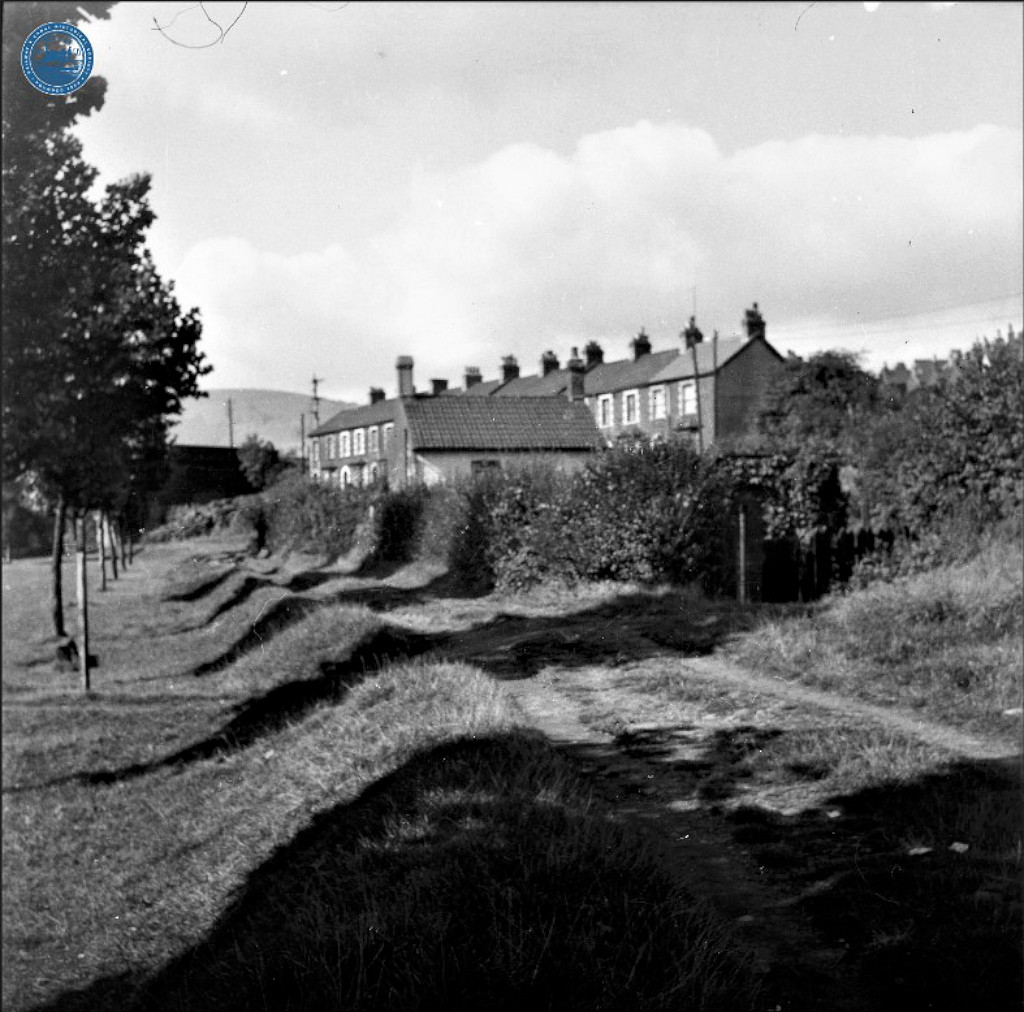
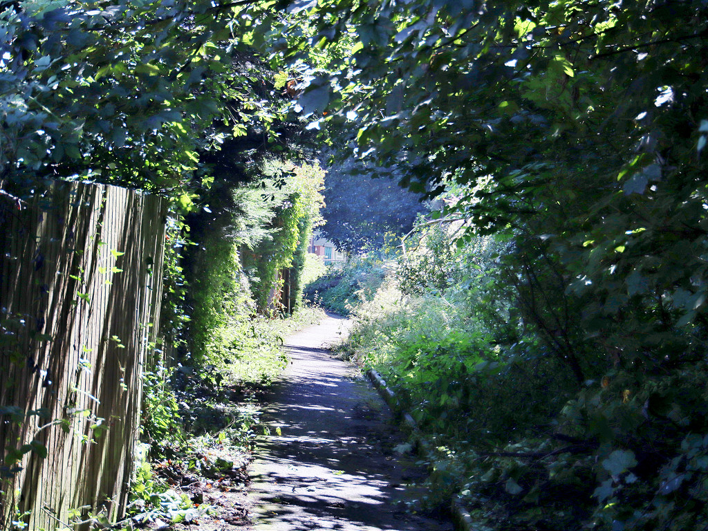
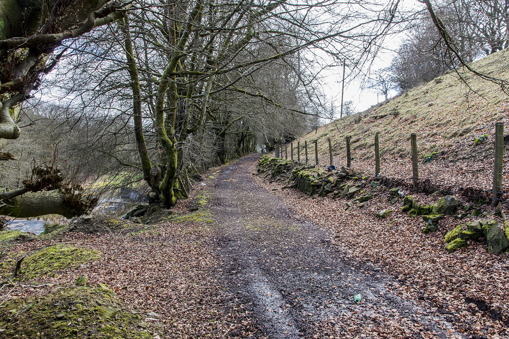
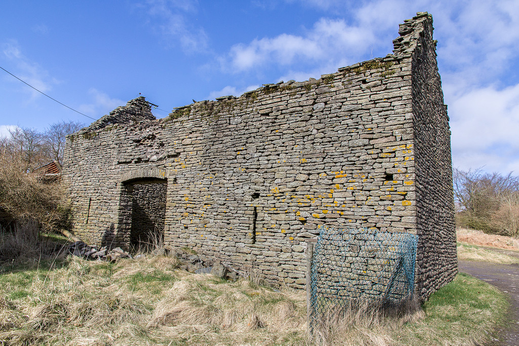
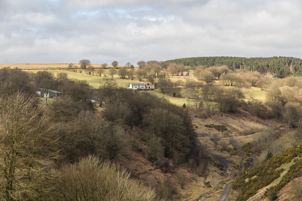
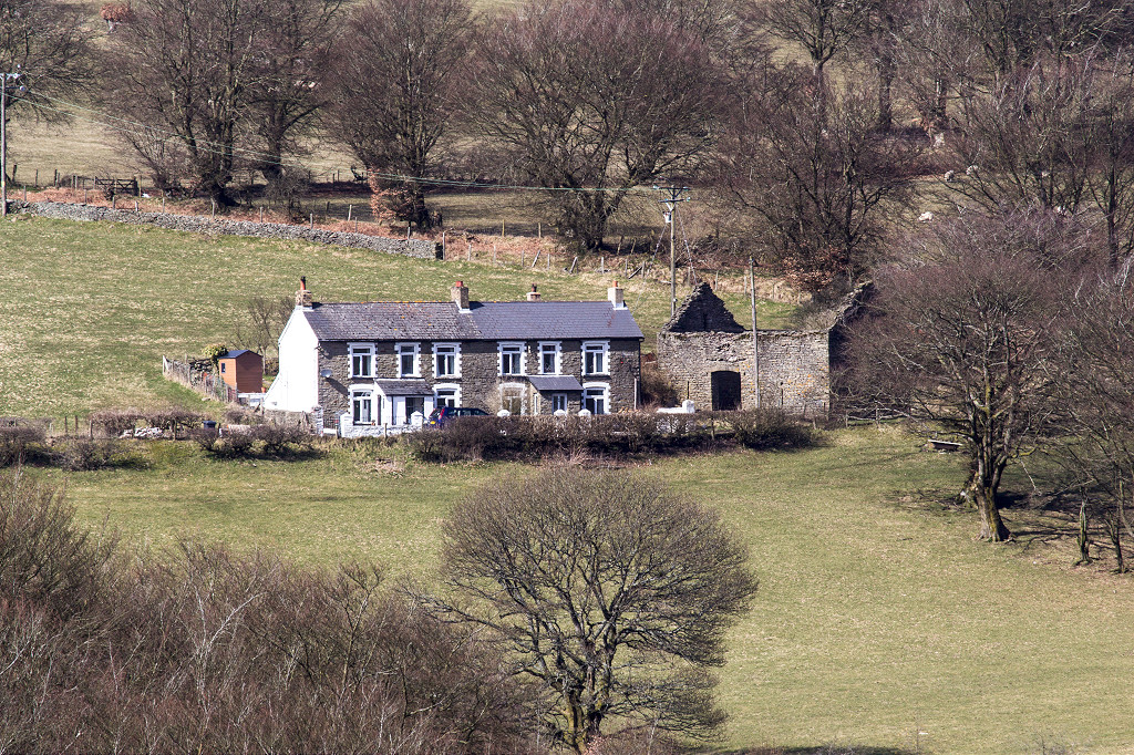
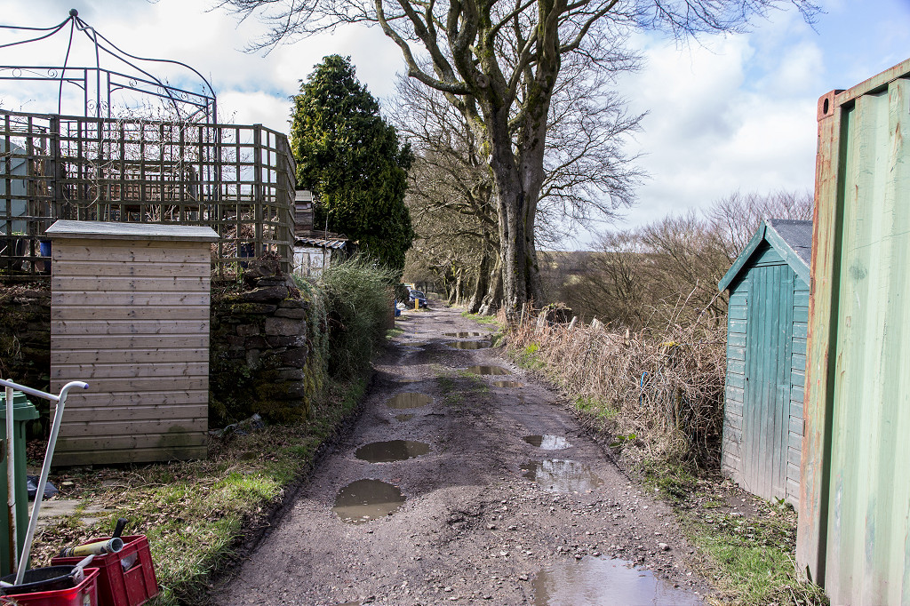
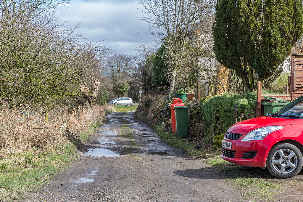
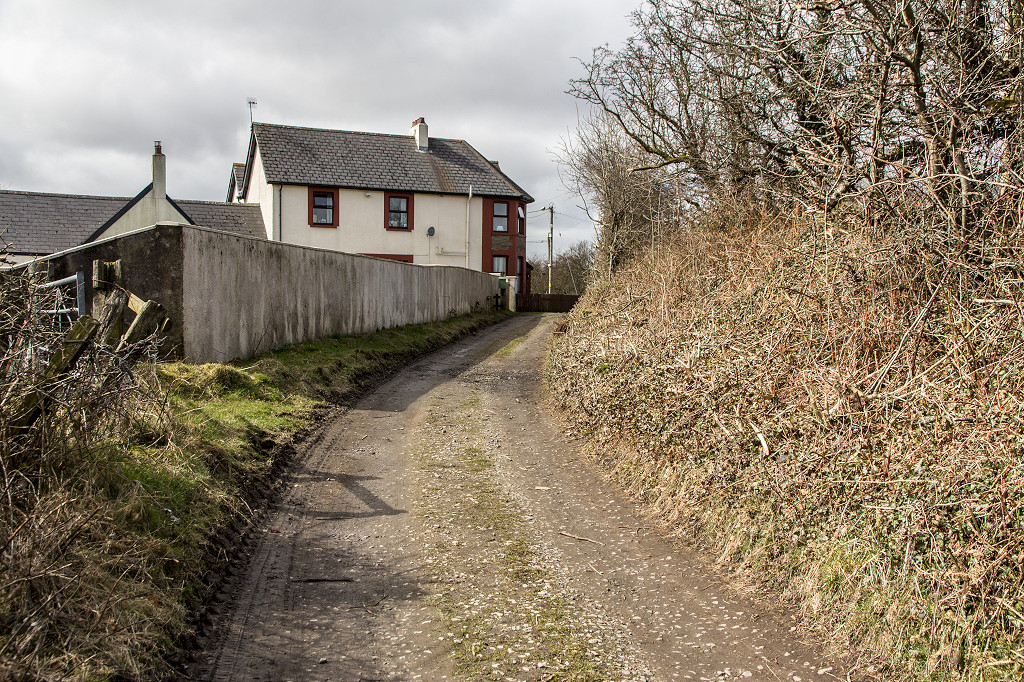
 Canal-bank houses near Pontymoile |
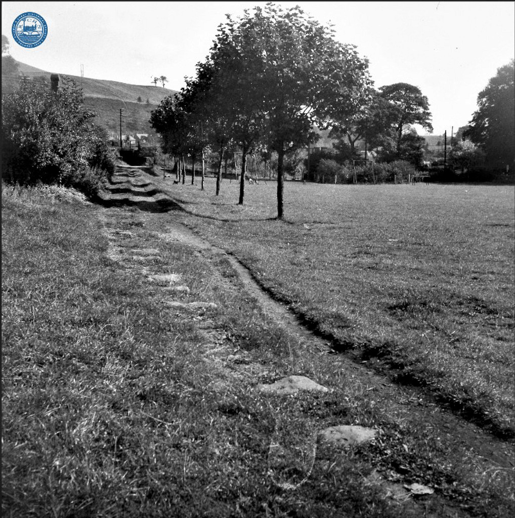
 Pontymoile basin tramroad sleepers |
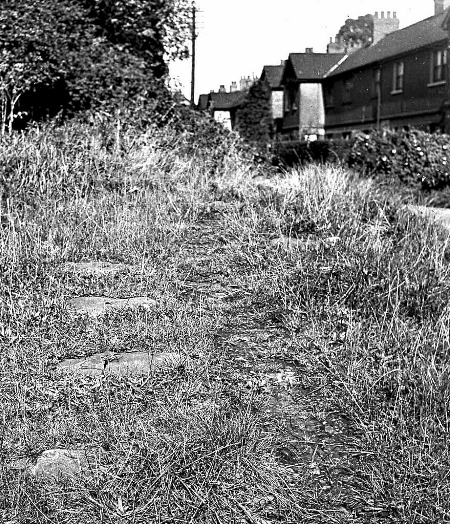 Pontymoile basin tramroad sleepers |
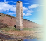
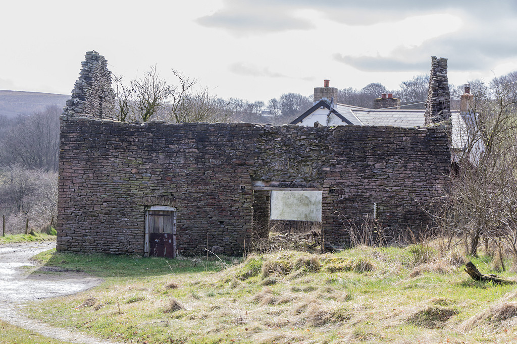
 Canal tollhouse |
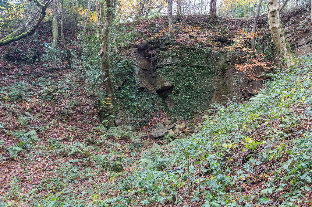
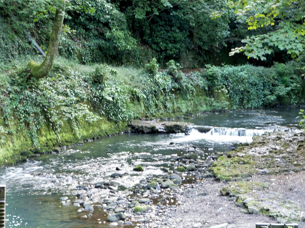
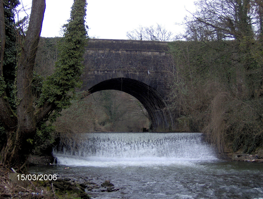 Canal aqueduct over Afon Llwyd |
 Aqueduct over tramway and leat |
 Aqueduct over tramway and leat |
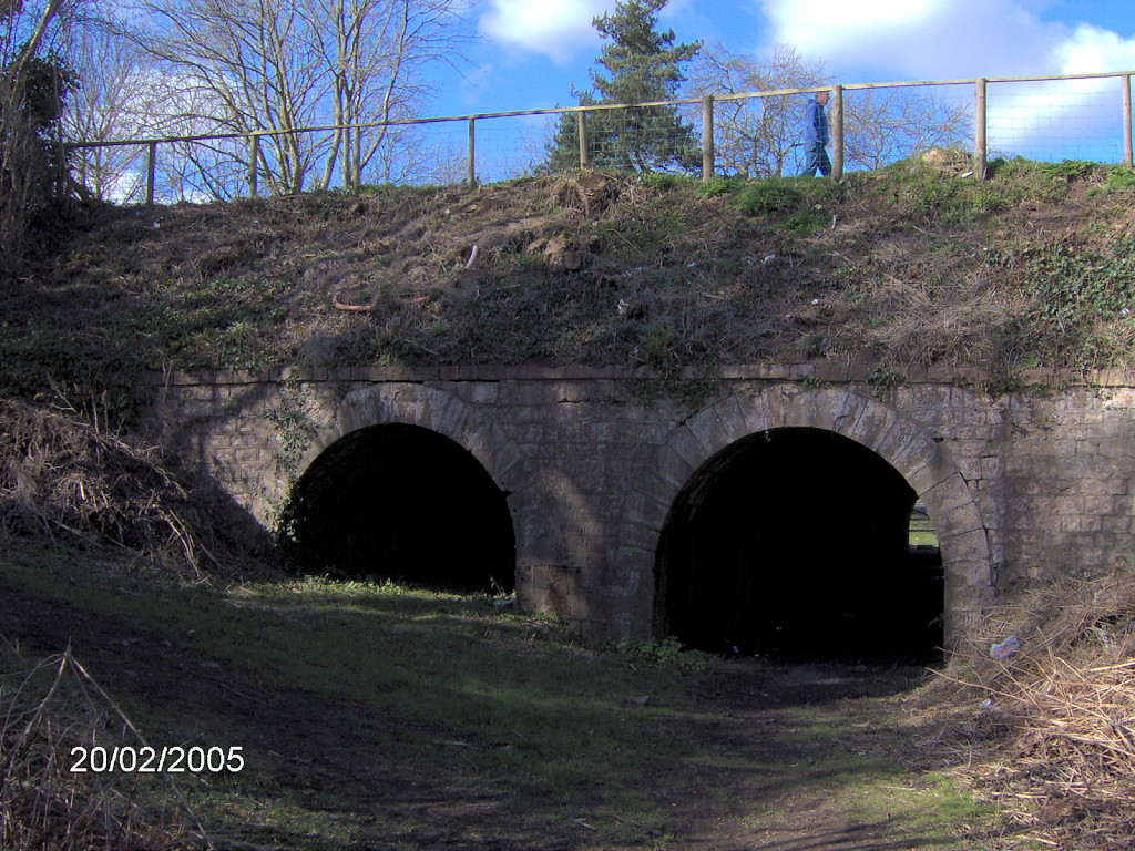
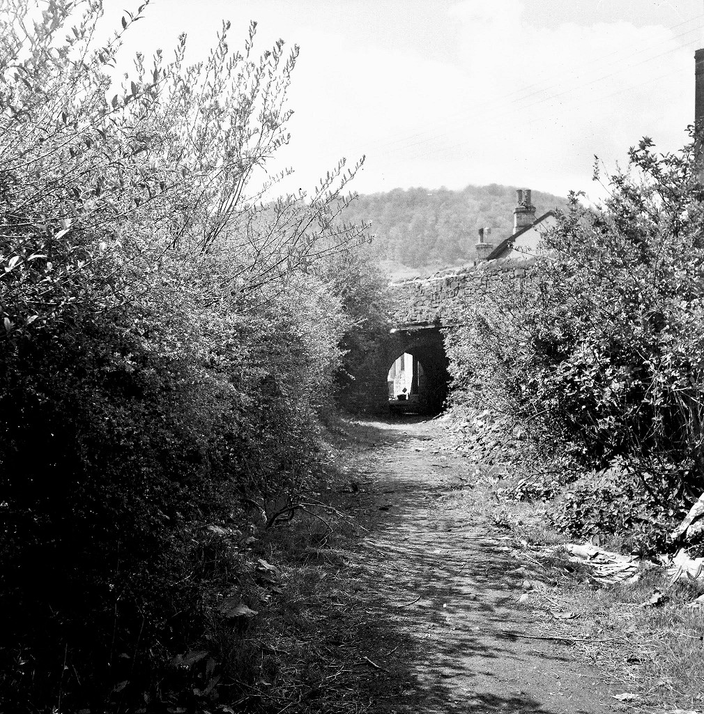
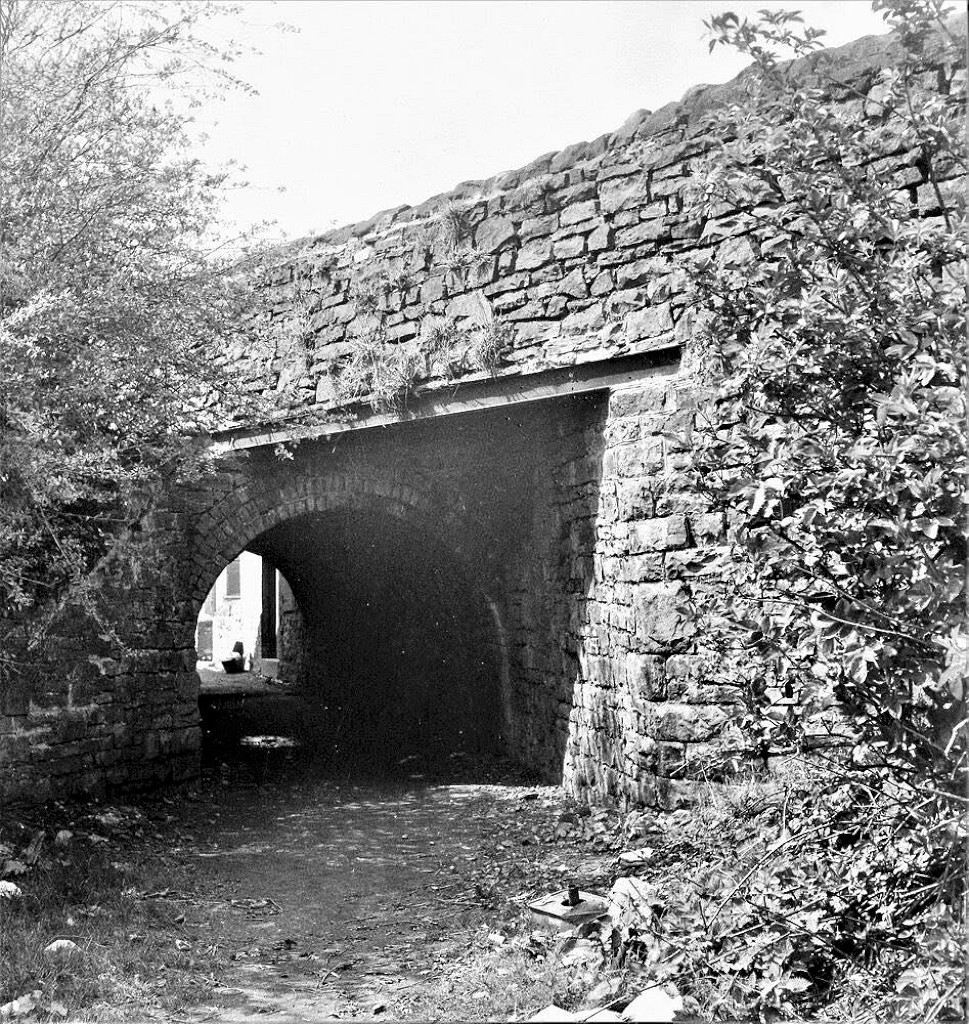
 Canal aqueduct over a footpath |
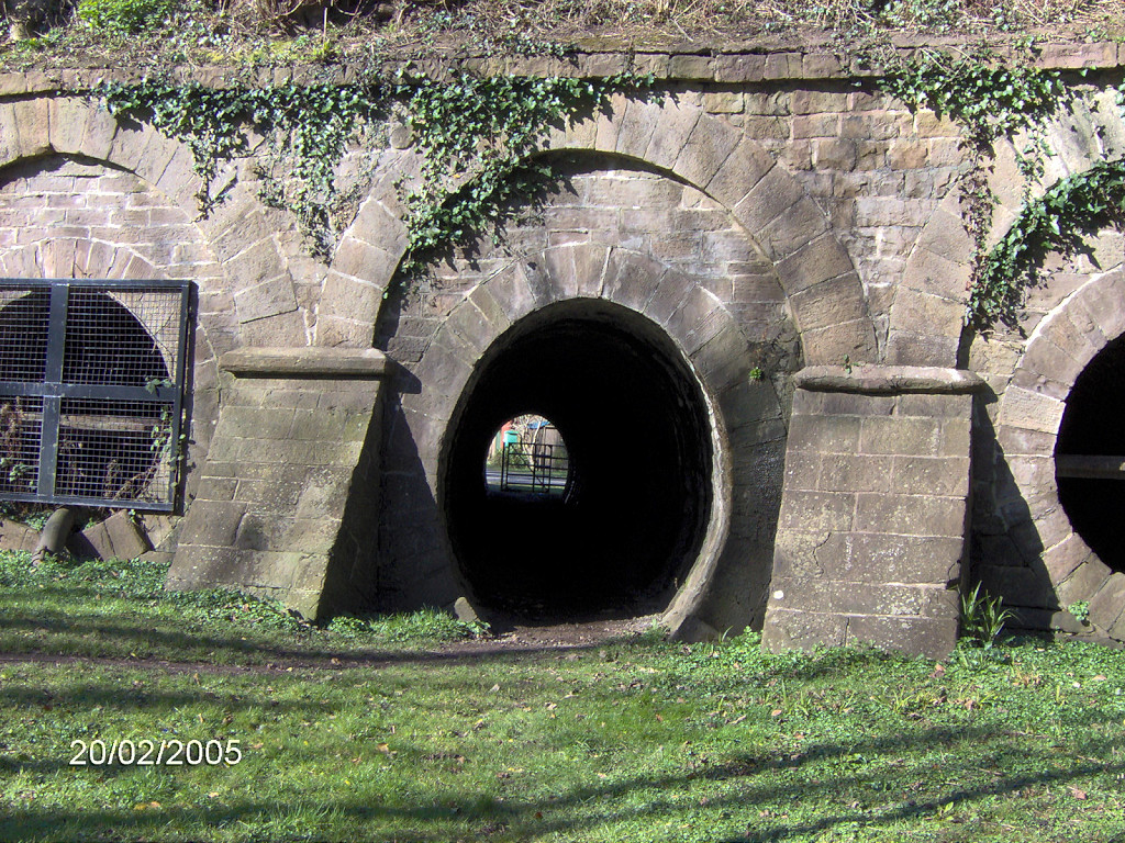 Canal aqueduct over a footpath |
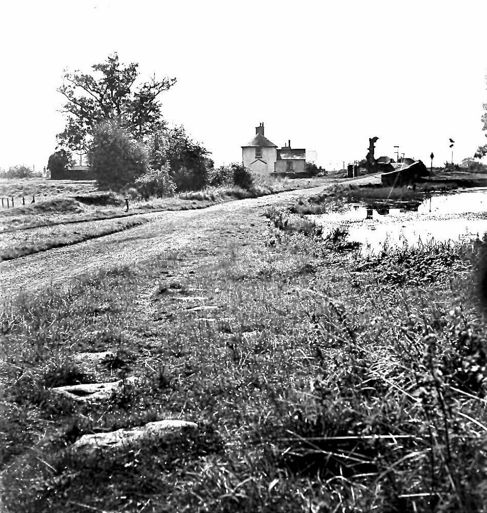
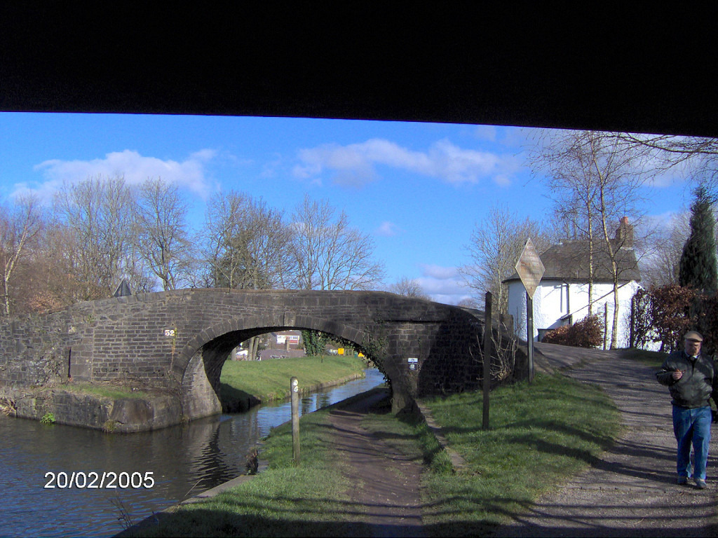
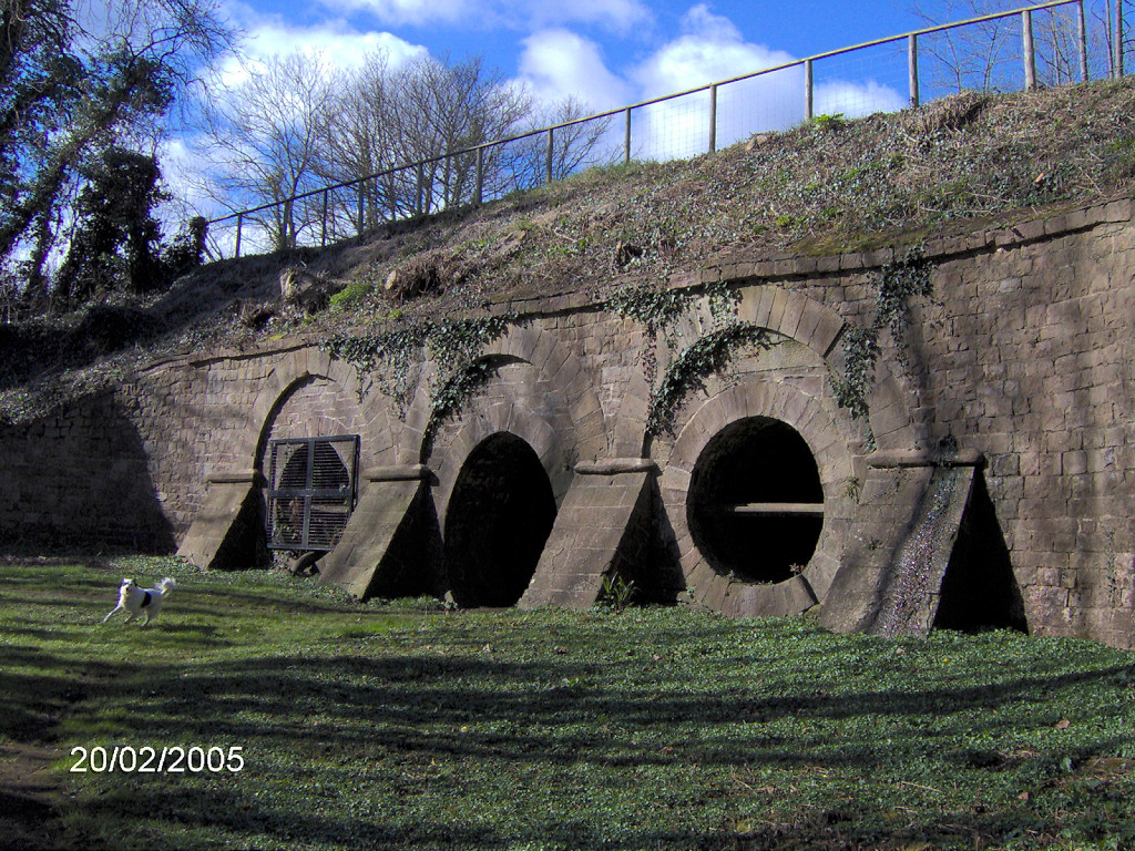
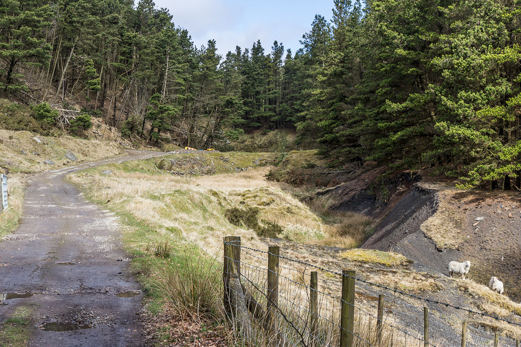
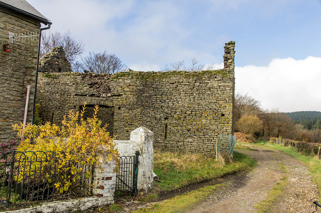
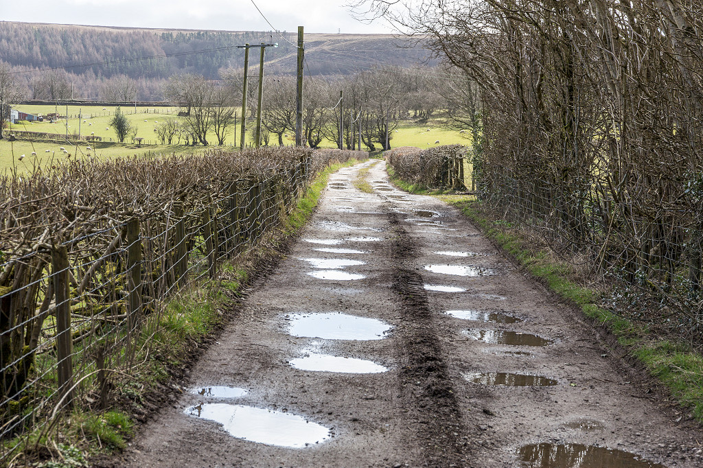
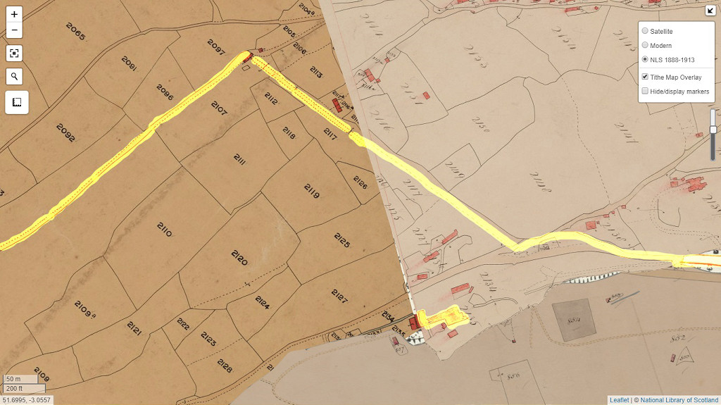
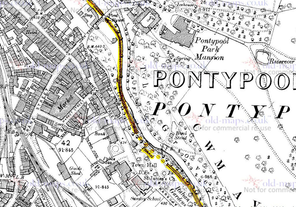
 Pontymoile Basin, Lower section |
 Pontymoile Basin, Upper section |
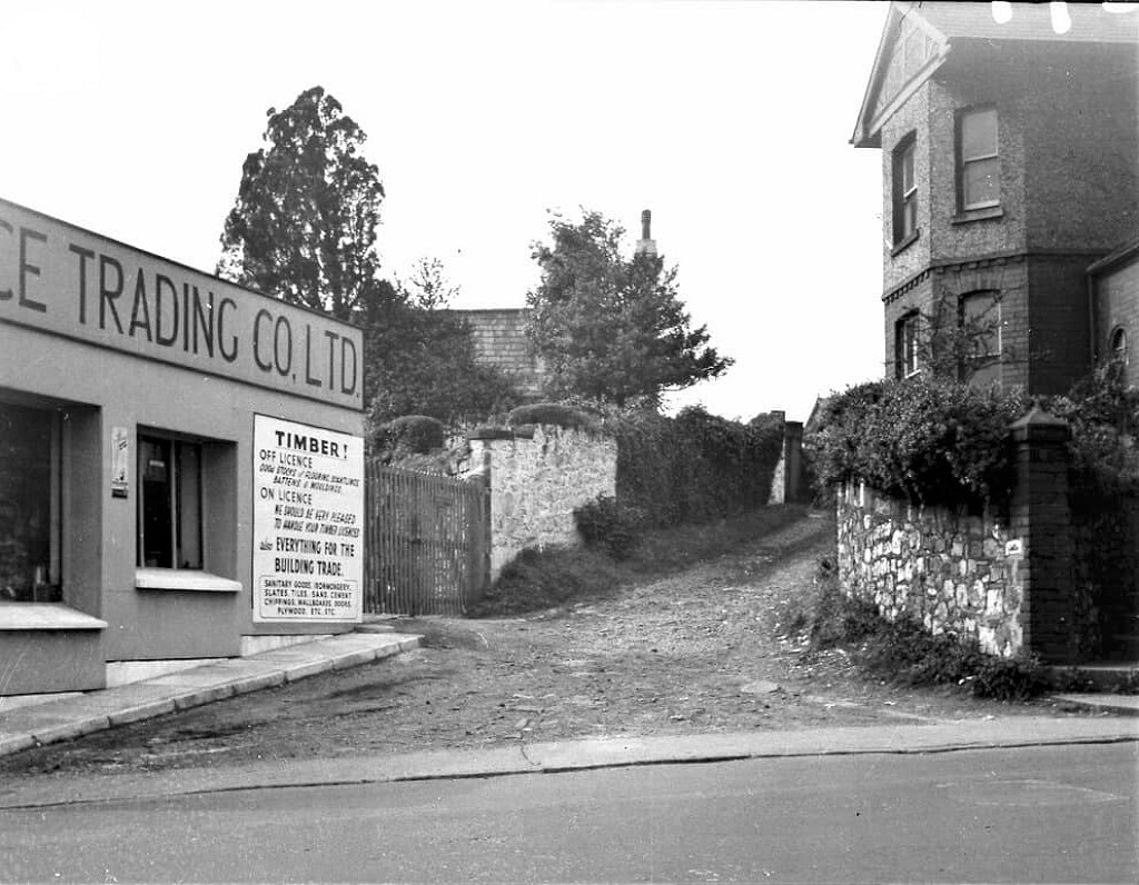
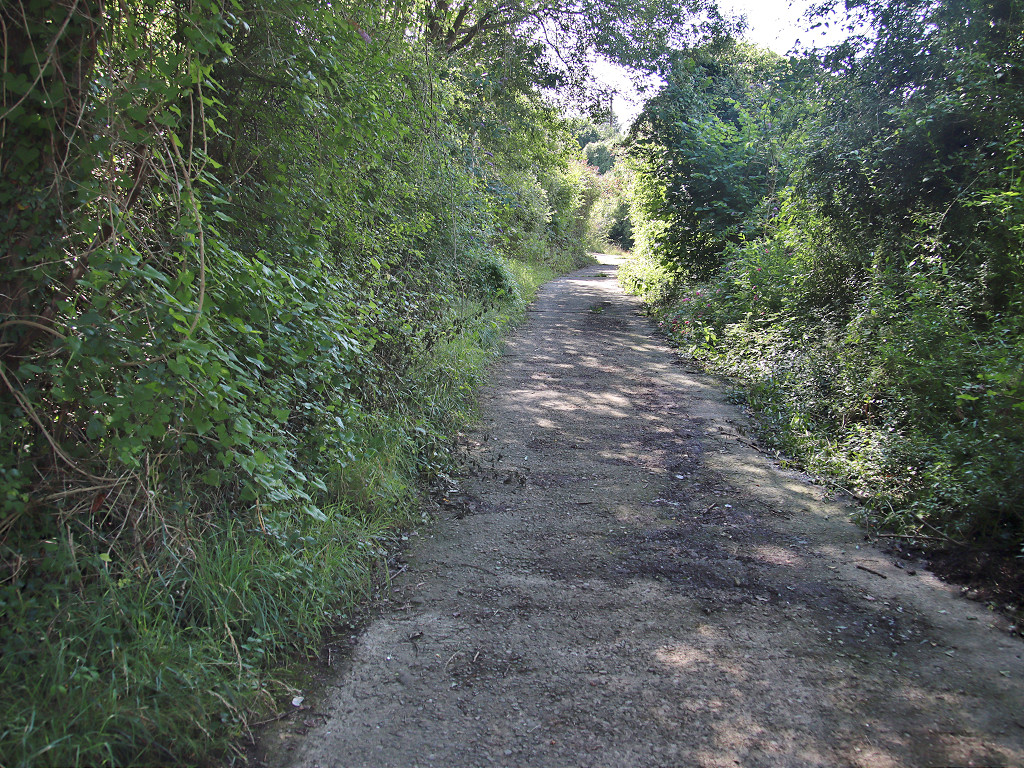
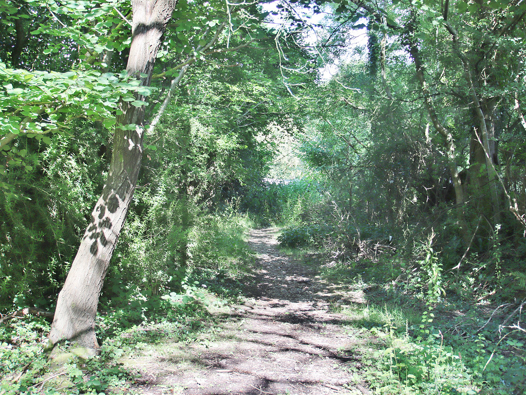
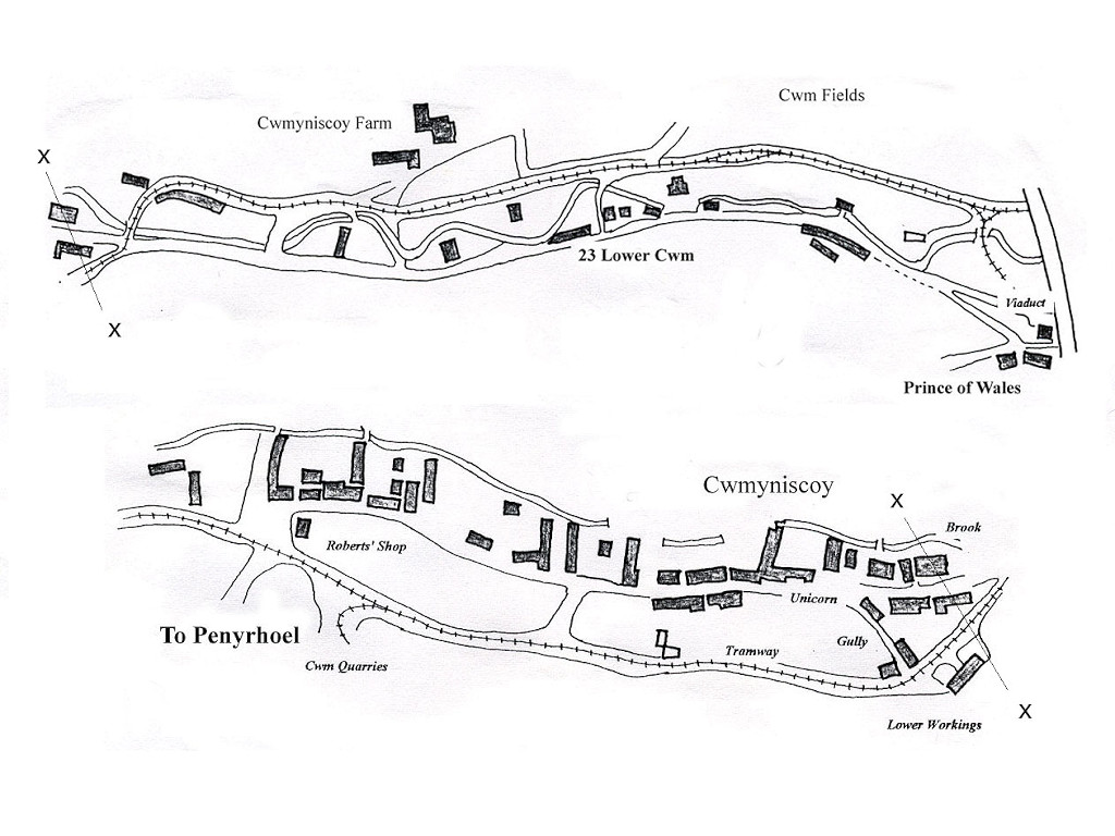 Cwmynyscoy Tramroad |
 Cwmynyscoy Tramroad |
|
Pontymoile basin tramroad sleepers |
Pontymoile basin tramroad sleepers |
|
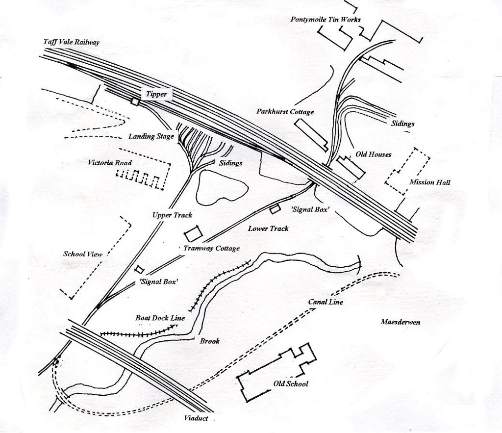
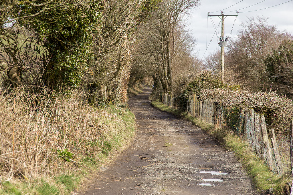
Tramroads around Pontypool |
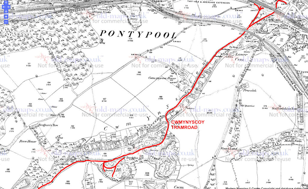 Cwmynyscoy Tramroad |
 Cwmynyscoy Tramroad |
 TVER Tramroad bridge |
 Tramroad Cottage |
 Tramroad Cottage |
 Tramroad at Rock Hill Road |
 Tramroad at Victoria Road |
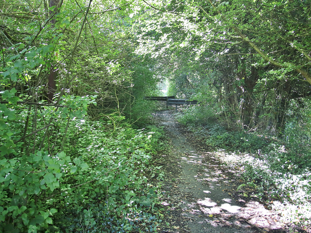
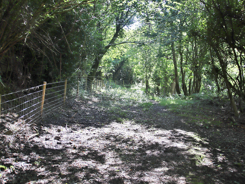
 Cwmynyscoy Tramroad |
 Cwmynyscoy Tramroad |
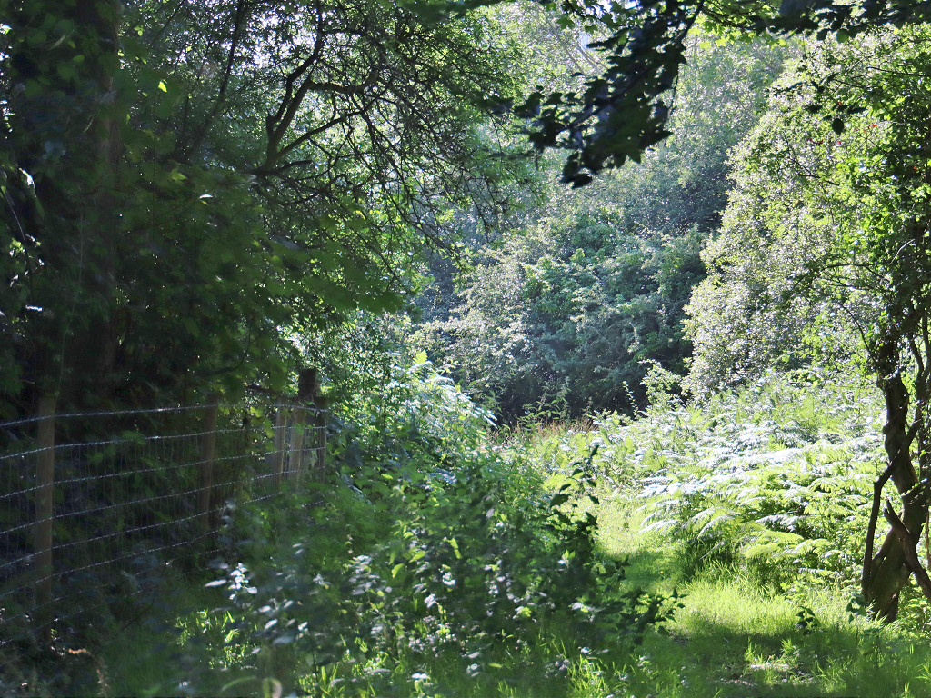
 Cwmynyscoy Tramroad |
 Cwmynyscoy Tramroad |
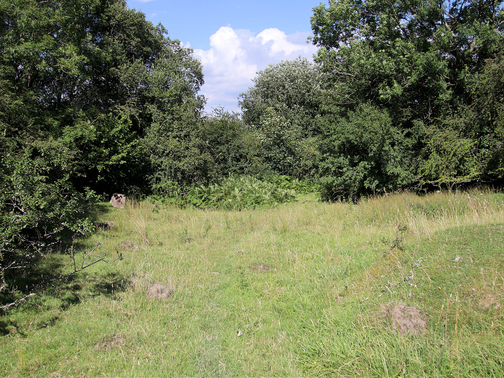
 Cwmynyscoy Tramroad |
 Cwmynyscoy Tramroad |
 Cwmynyscoy Tramroad |
 Cwmynyscoy Tramroad |
 Cwmynyscoy Tramroad |
 Cwmynyscoy Tramroad |
 Cwmynyscoy Tramroad |
 Cwmynyscoy Tramroad |
 Cwmynyscoy Tramroad |
 Cwmynyscoy Tramroad |
 Cwmynyscoy Tramroad |
 Cwmynyscoy Tramroad |
 Cwmynyscoy Tramroad |
 Cwmynyscoy Tramroad |
 Cwmynyscoy Tramroad |
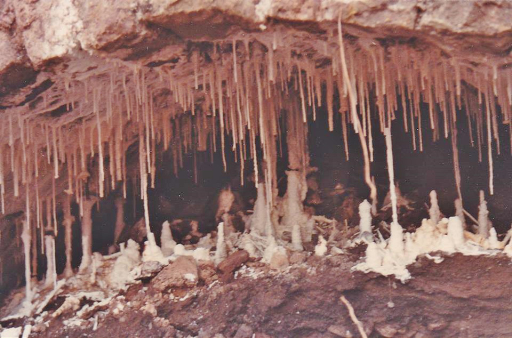
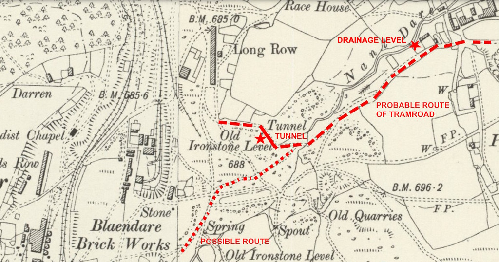
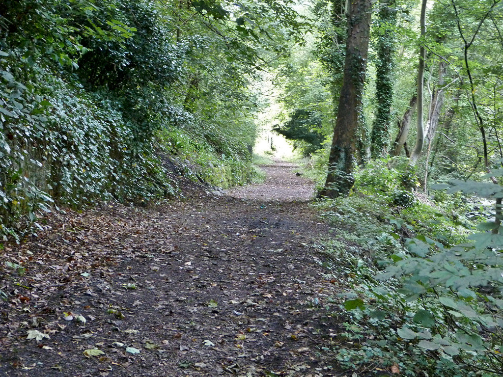
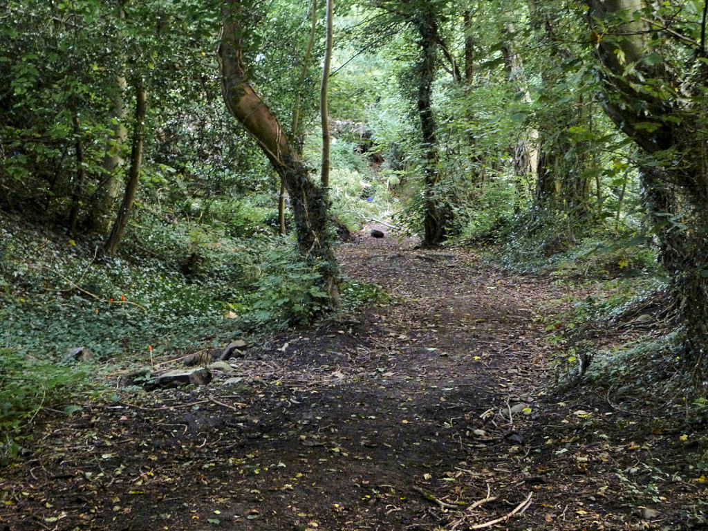
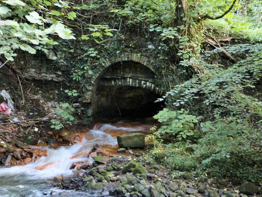
 Tunnel at Upper Race |
 Tunnel at Upper Race |
 Tunnel at Upper Race |
 Tunnel at Upper Race |
 Tunnel at Upper Race |
 Tunnel at Upper Race |
 Tunnel at Upper Race |
 Tunnel at Upper Race |
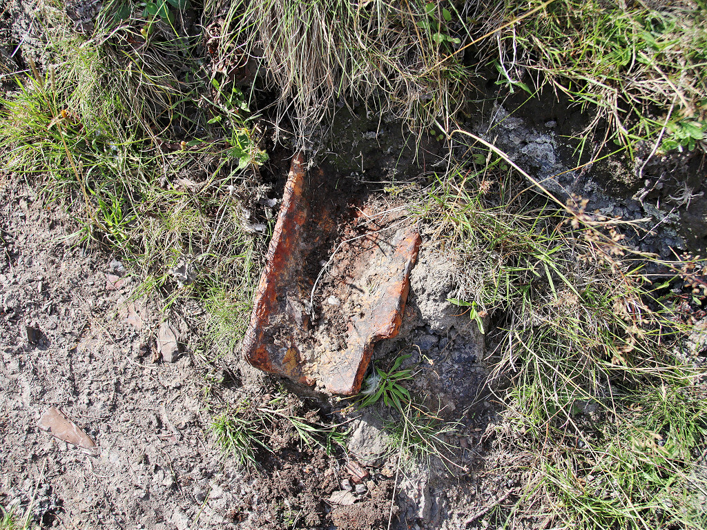 Tramplate at Upper Race |
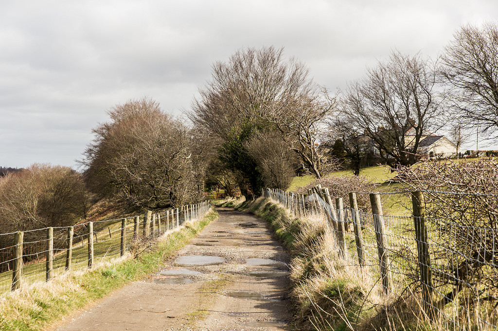
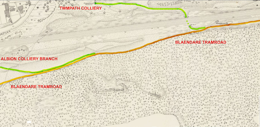 Blaendare Tramroad route up to Lower Race |
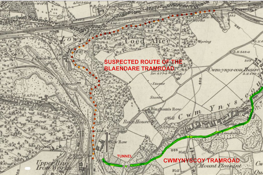 The possible route of the Blaendare Tramroad |
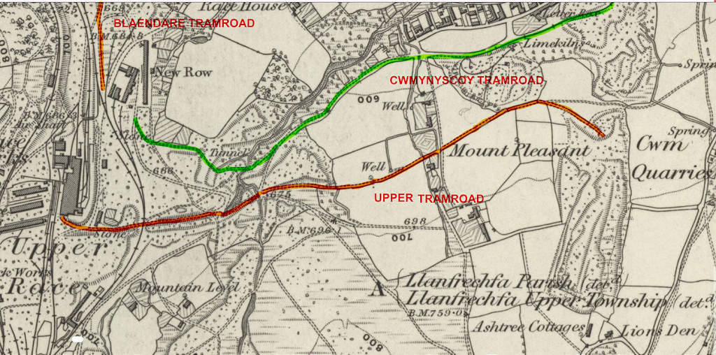 The upper tramroad at Blaendare |
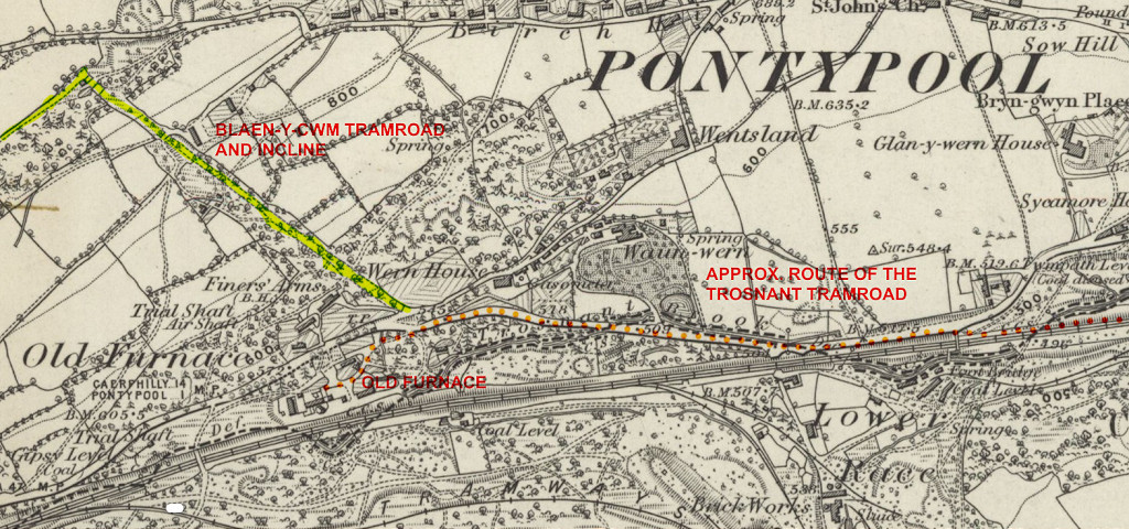 The probable route of the Trosnant Tramroad |
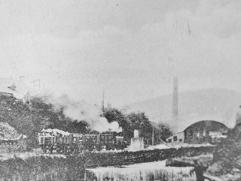
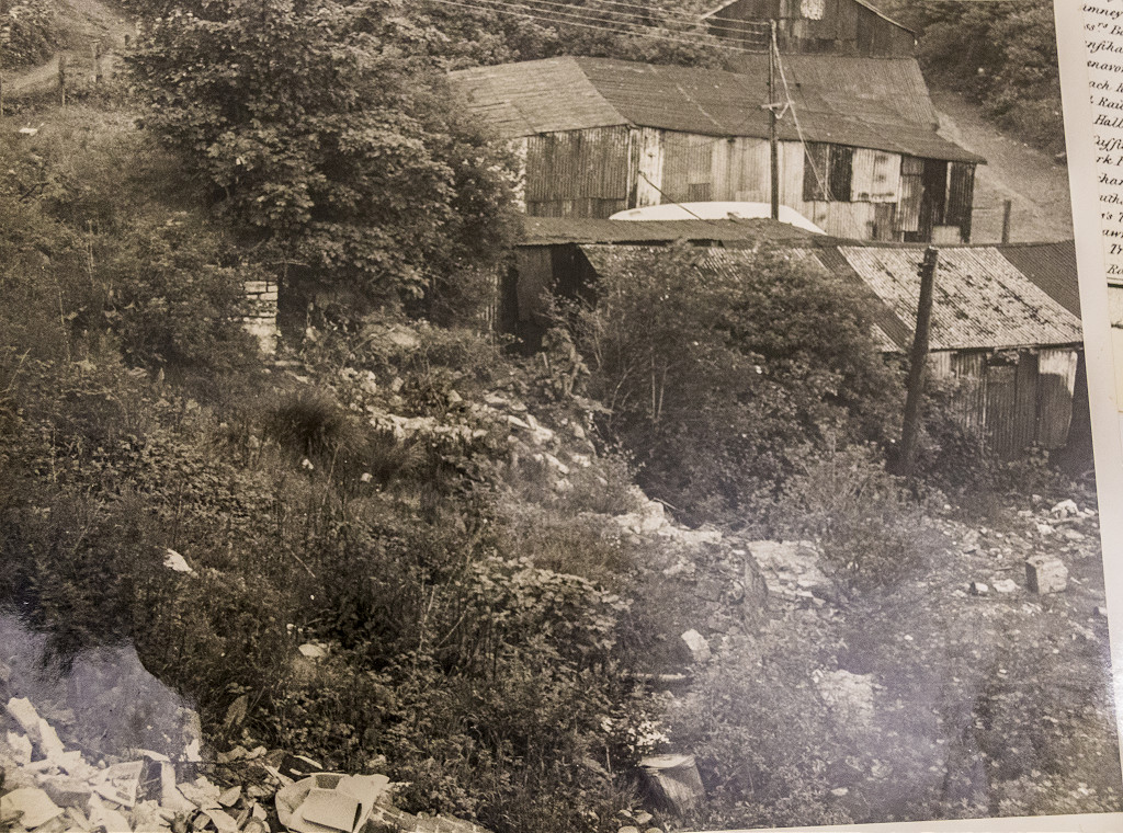 Old Furnace in c1955 |
 Blaen-y-cwm Railroad, 1843 |
 Blaen-y-cwm Railroad, 1843 |
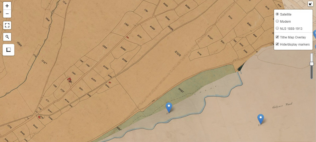 Blaen-y-cwm Railroad, 1843 |
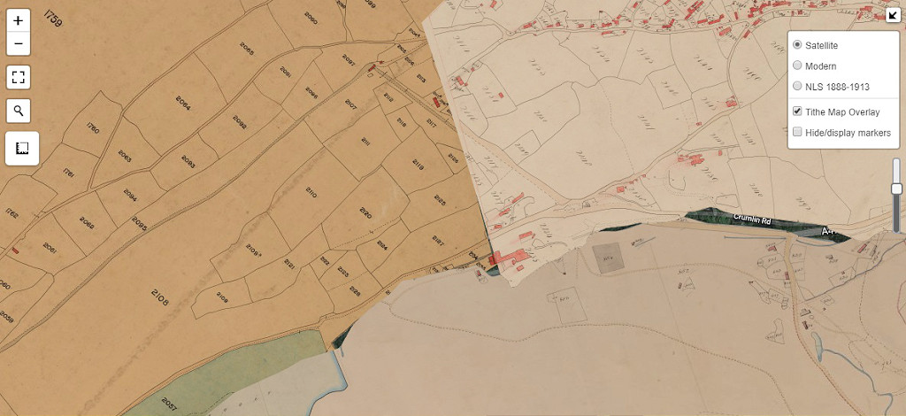 Blaen-y-cwm Railroad, 1843 |
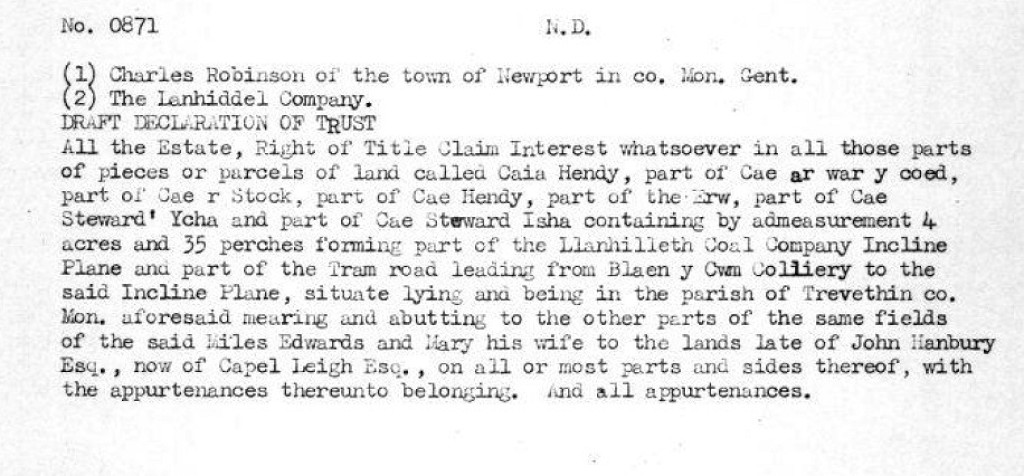 Blaen-y-cwm Railroad trust document |
 The start of the line at the colliery |
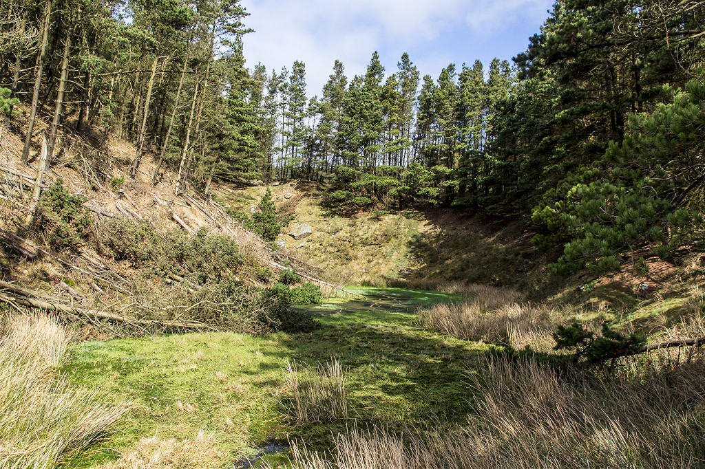
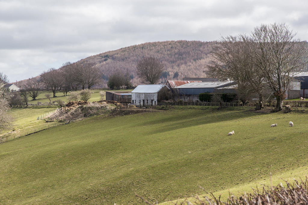
 The site of Blaen-y-Cwm Colliery |
 Approaching Tyr Ysgubor Ddu |
 Passing Black Barn Colliery |
 Nearly at Ty Gwyn |
 Ty Gwyn barn, Pant-y-Gasseg |
 Ty Gwyn barn, Pant-y-Gasseg |
 Ty Gwyn barn, Pant-y-Gasseg |
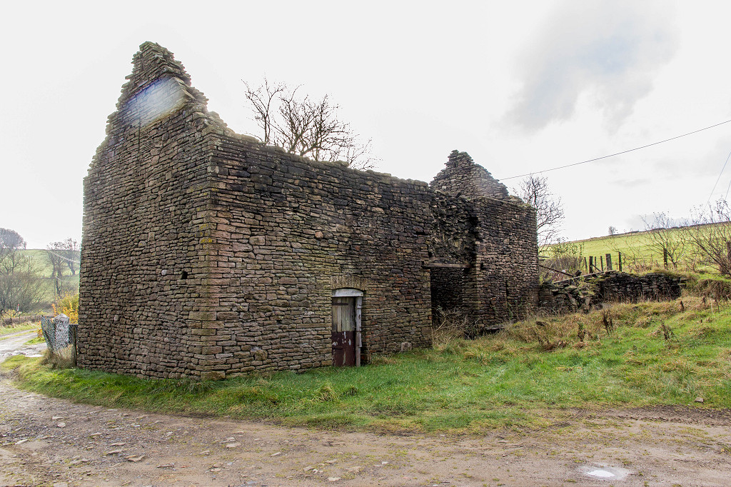 Ty Gwyn barn, Pant-y-Gasseg |
 Ty Gwyn Cottages, Pant-y-Gasseg |
 Ty Gwyn Cottages, Pant-y-Gasseg |
 Ty Gwyn Cottages, Pant-y-Gasseg |
 Passing Ty Gwyn Colliery |
 Passing Ty Mary-Harry |
 Across to Tir Pentwys Farm |
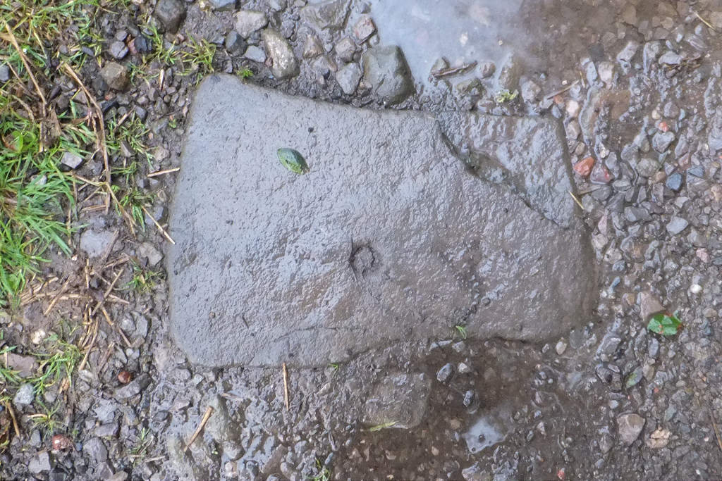 Tir Pentwys Farm sleeper |
 Nearing Pant-y-Gasseg village |
 Looking back at Pant-y-Gasseg |
 Nearing the level crossing |
 Looking back at The Masons Arms |
 On the way to Woodland Cottage |
 In the woods at Coedcae Newydd |
 In the woods at Coedcae Newydd |
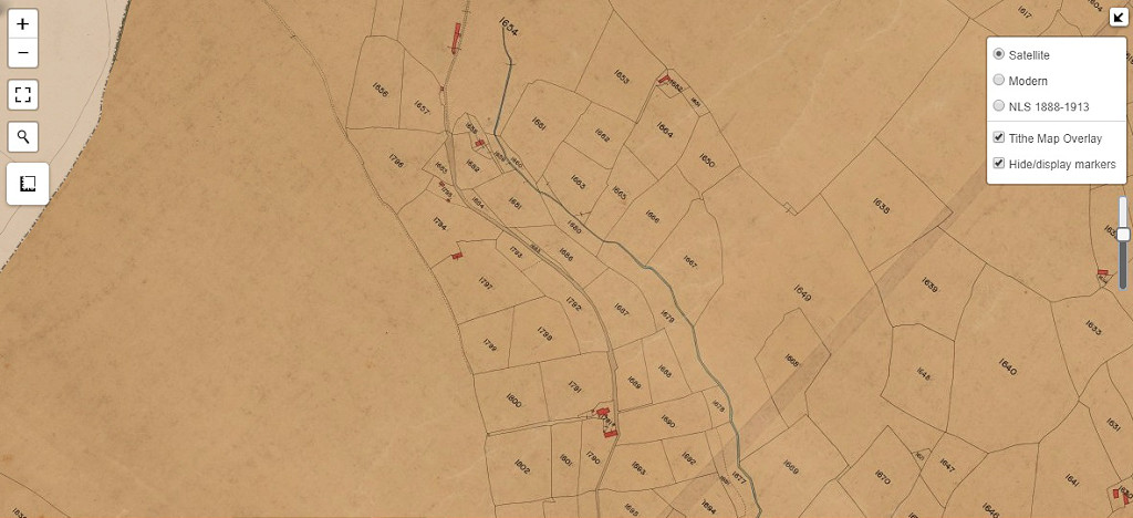
 Old Furnace, 1843 tithe map |
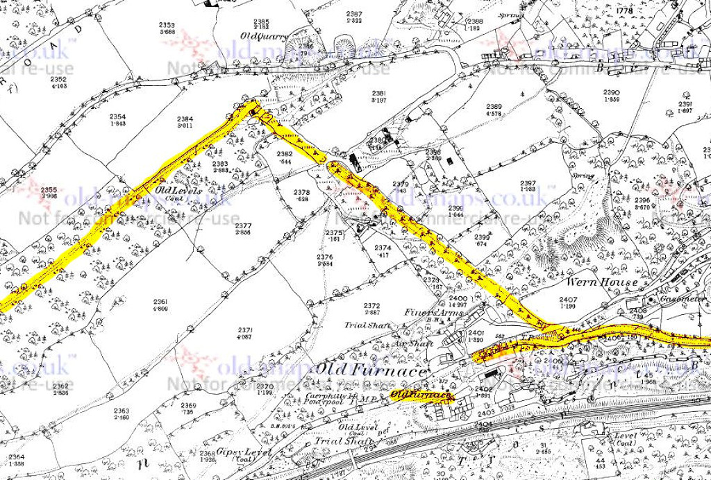 Old Furnace, 1881 |
Old Furnace in c1955 |
 Approaching Incline Top |
 Coch-y-North Incline Top |
 Coch-y-North incline |
 Coch-y-North Lane Quarry |
 Coch-y-North Lane Quarry |
 Coch-y-North Lane Quarry |
 Pontypool Tramway, 1901 |
 Pontypool Tramway, 1901 |
 Pontypool Tramway, 1901 |
 Pontypool Tramway, 1901 |
 A train near Osborne Forge |
 Tramway near Town Bridge |
 Tramway near Town Bridge |
|
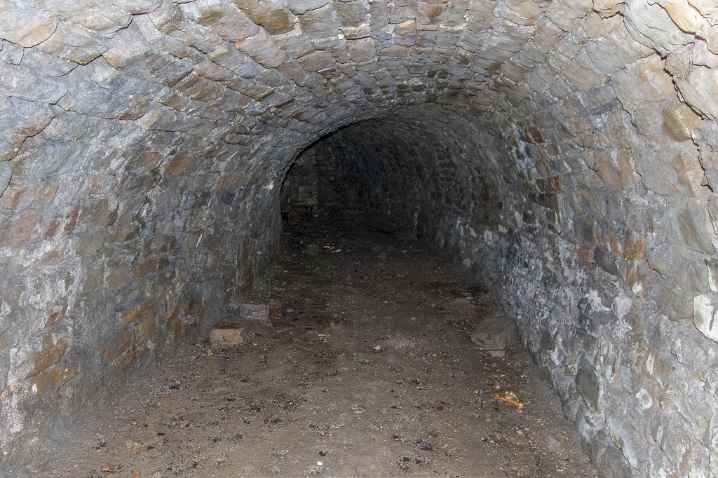
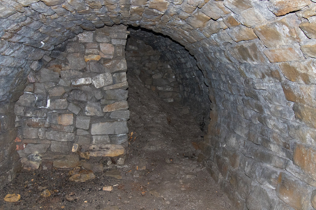
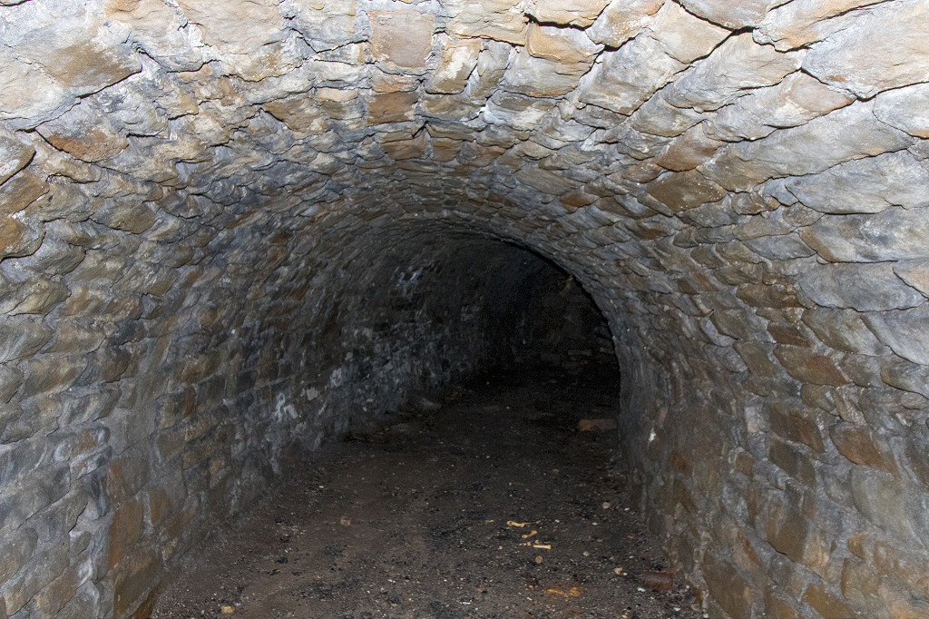
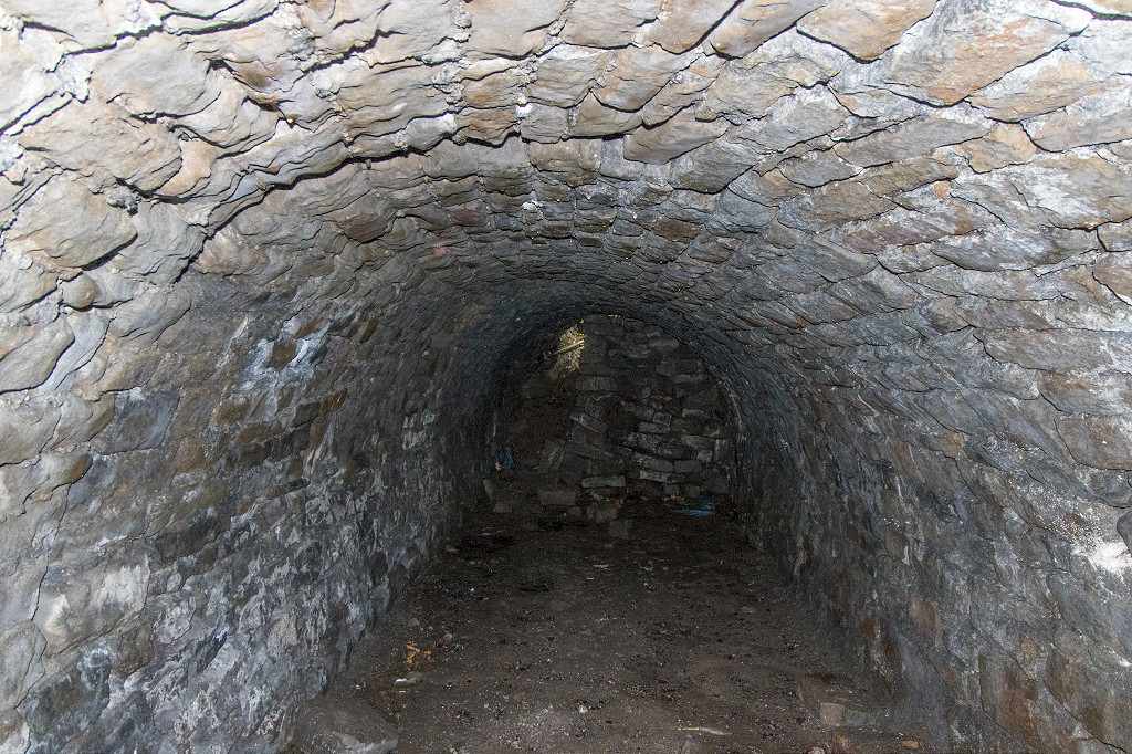
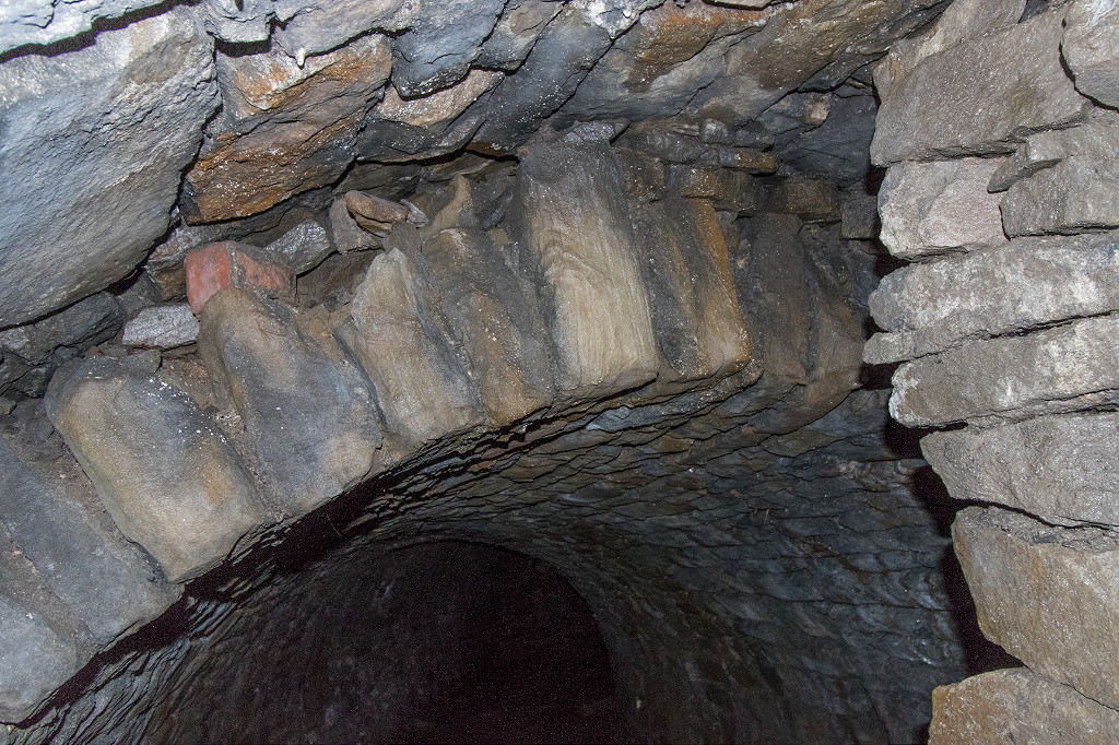
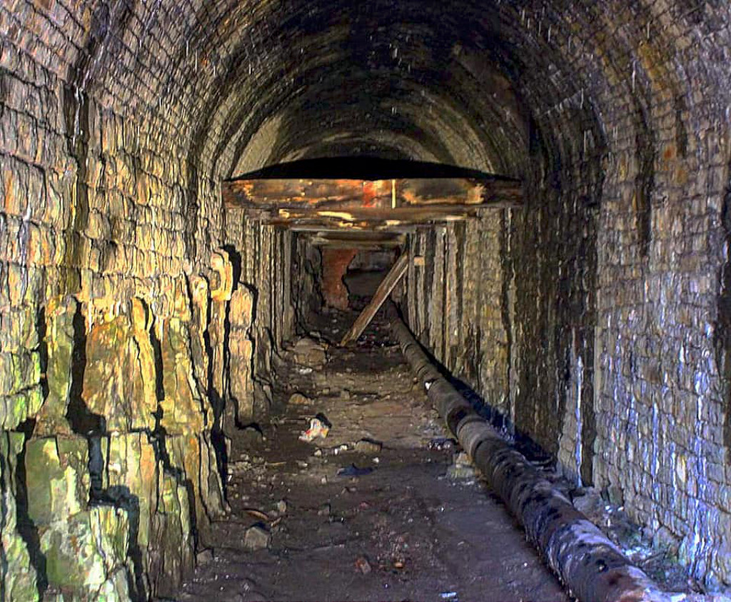 Tramway tunnel interior |
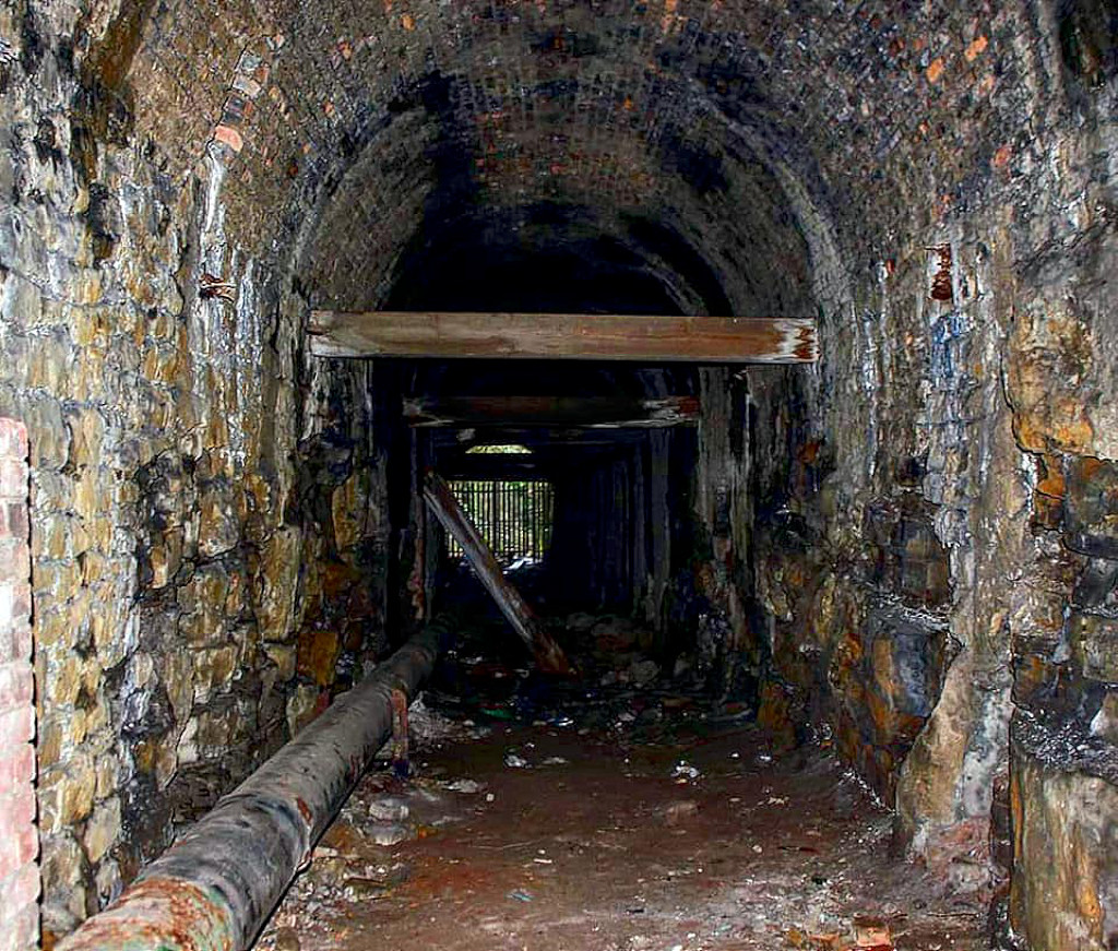 Tramway tunnel interior |
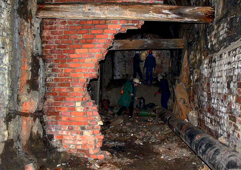 Tramway tunnel interior |
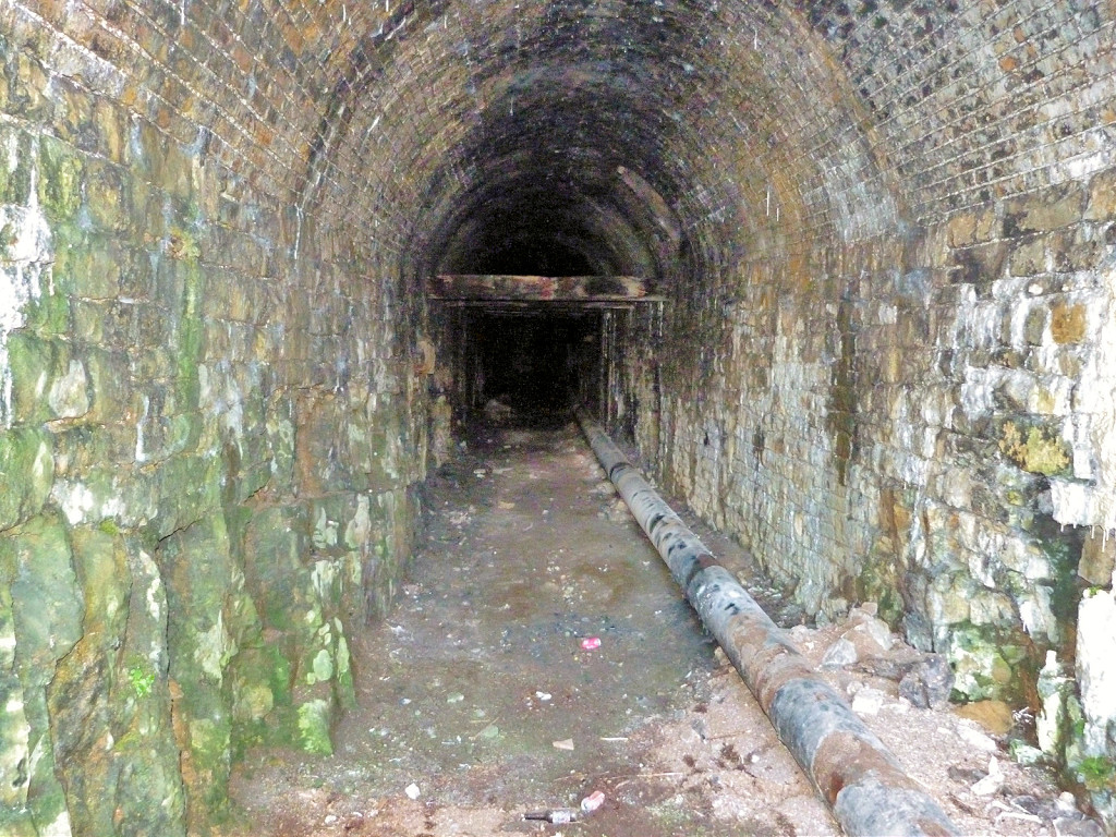 Tramway tunnel interior |
 Tramway tunnel interior |
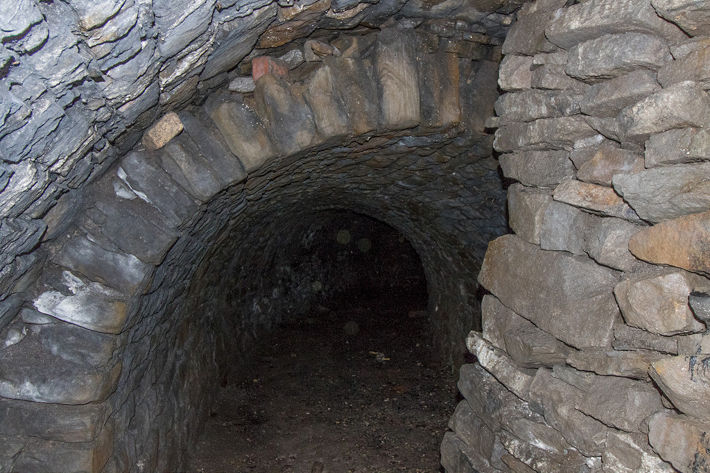
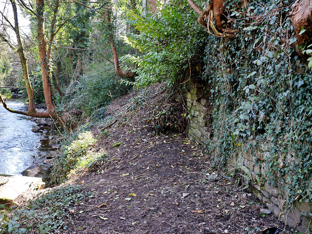
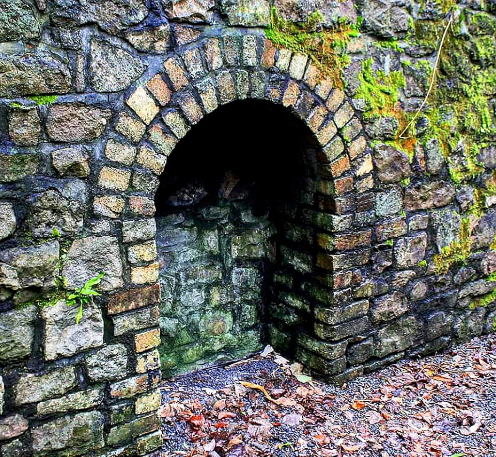
 Tramway tunnel portal |
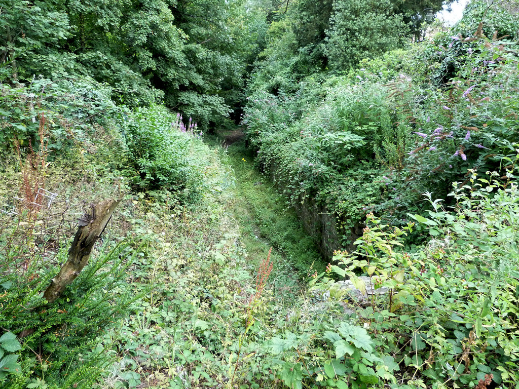 Tramway tunnel approach |
 Tramway tunnel approach |
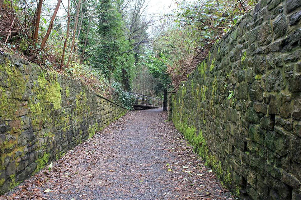
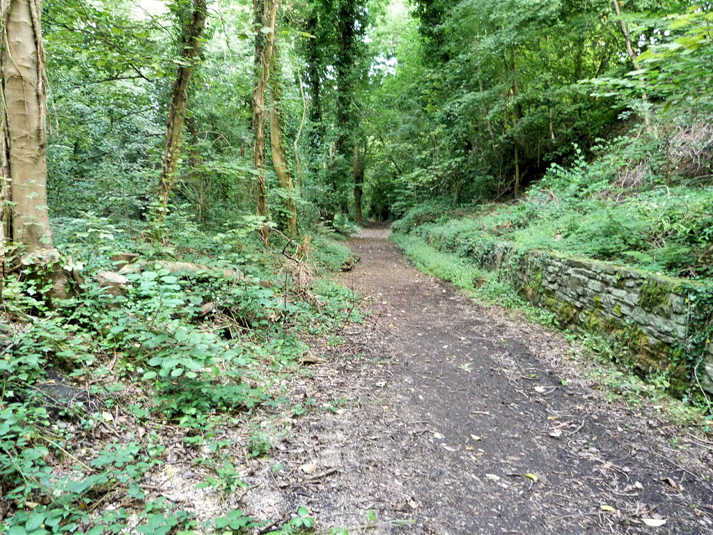 Tramway looking South |
 Tramway looking South |
 Tramway looking South |
 Tramway looking South |
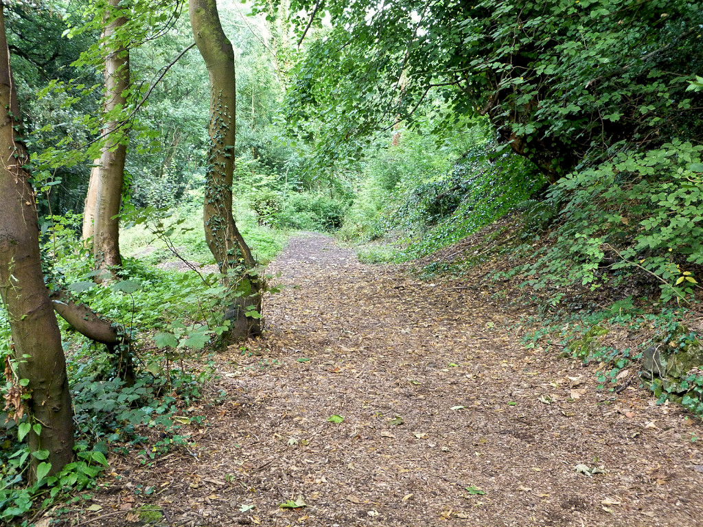
 Tramway looking North |
 Tramway looking North |
 Tramway looking North |
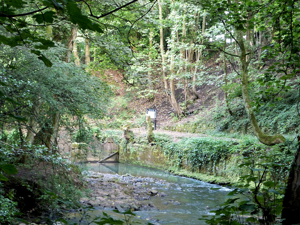
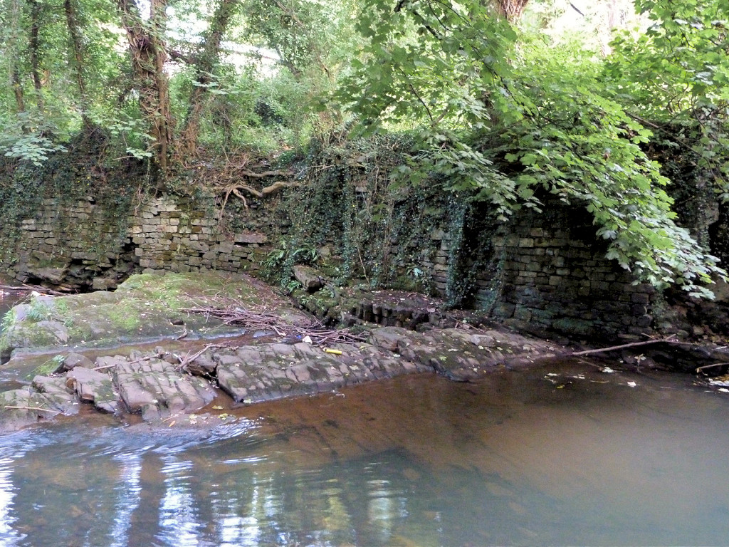
 Trosnant tramway bridge |
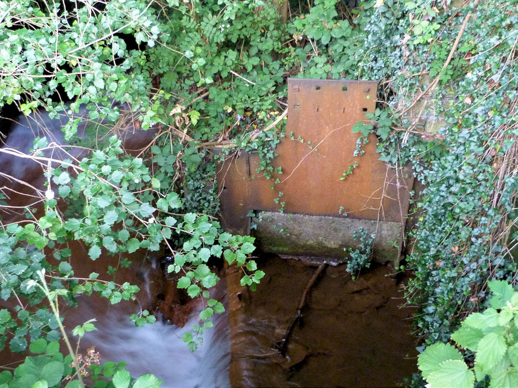 Trosnant stream sluice gate |
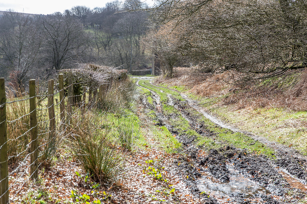
 Tramway to Pontymoile |
 Tramway to Pontymoile |
|
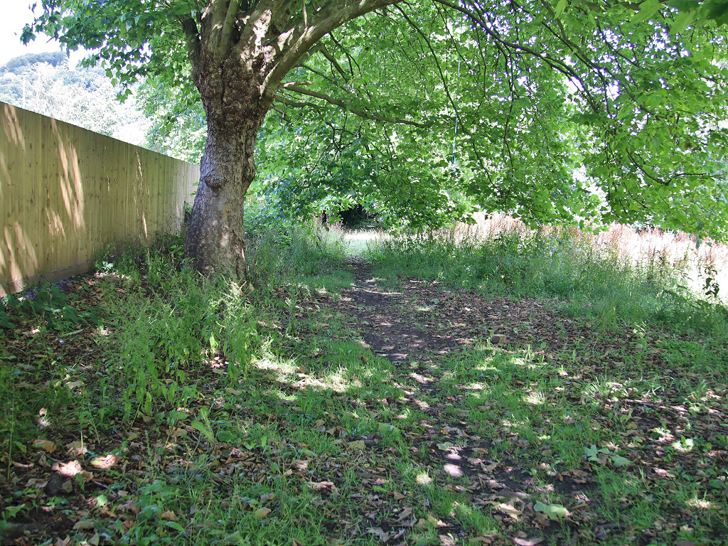
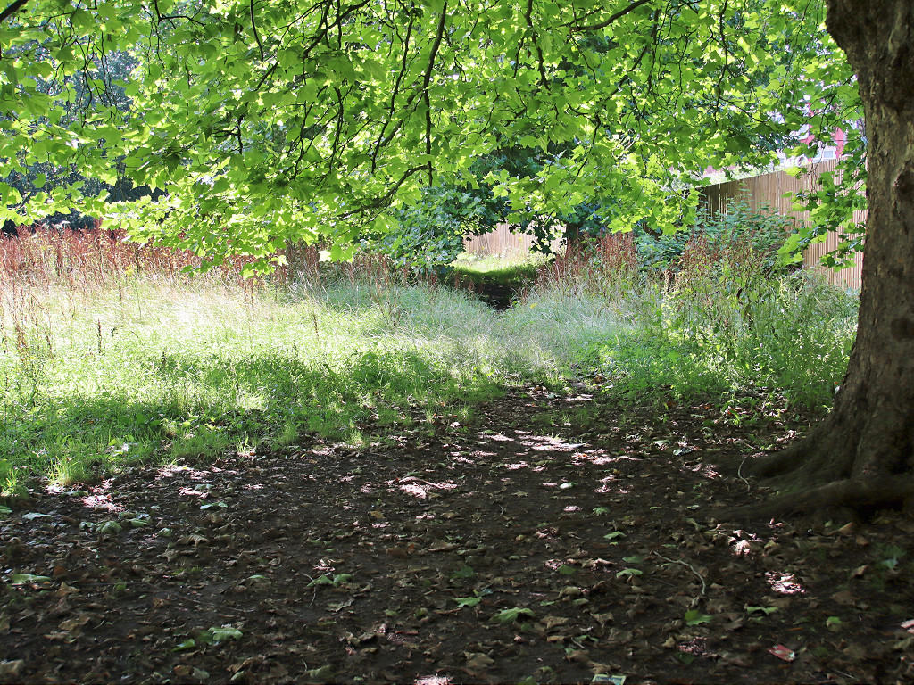
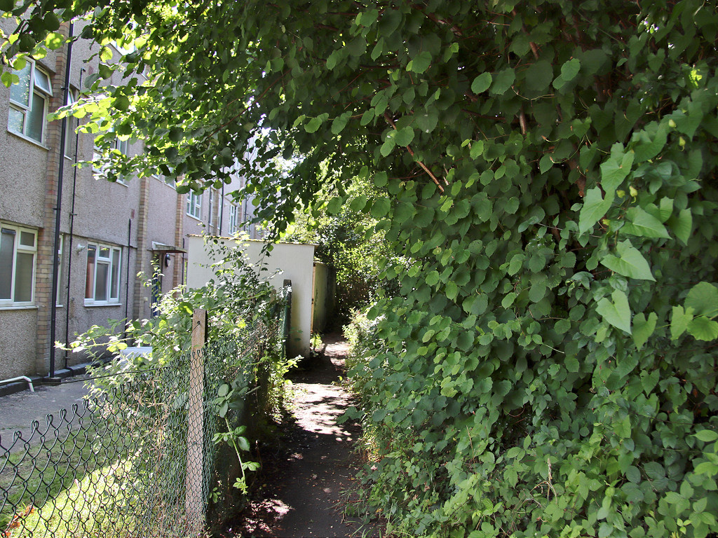
Pontnewynydd, Railway Parade |
Pontnewynydd, Railway Parade today |
Pontnewynydd, Railway Parade today |
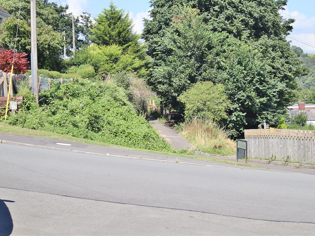
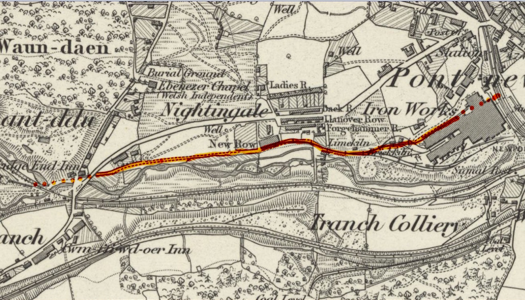 Cwmnantddu Tramroad in Pontnewynydd |
 Cwmnantddu Tramroad at New Row |
 Cwmnantddu Tramroad at the Bridgend Inn |
 Cwmnantddu Tramroad at the Bridgend Inn |
Industrial WalesCollieries, Ironworks, Quarries, Railways, Canals, Tramroads, Tunnels, Culverts and so much more....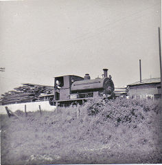
|
Brickworks of WalesBricks are 'History with a label' so here's the story of the Brickworks of Wales - photos, maps and the products themselves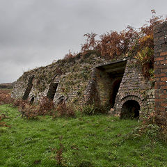
|
Around the WorldMy travels around the UK and the Whole Wide World in search of industries, railways, trams and mines to name a few.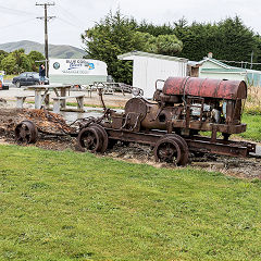
|
Boundary Stones and MilepostsBoundary Stones, Mileposts and other markers in simple alphabetical order of their initials, name or site.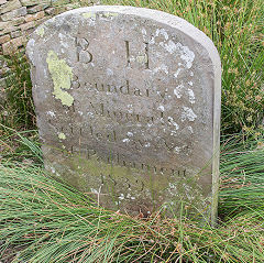
|
Ships and ShippingShips around the World in simple alphabetical order of their name (or apparent area if I can't read the name).
|
The Site Map and IndexA full list of all the pages of the whole website in just one place, so you should find exactly what you are looking for.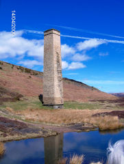
|
About the SiteThe background and technical details about the site, plus a contact page and links to other sites - and a warning !!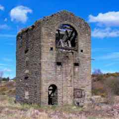
|
Contact MeSomething to add? A great photo? Something wrong? or need to know more about things? Just drop me a line here.
|
Further ReadingYou can find lots of local and other very helpful websites, books, magazines and Facebook groups all listed here.
|