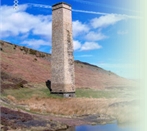
The Industrial Archaeology and History of the Eastern Valley
Or click on the button to go to :-
Click on the thumbnail to enlarge a photo or map and sometimes read more about it.
Then click 'Full Size' on the toolbar to see it in all its glory.
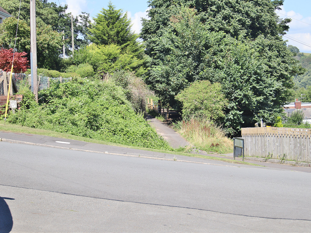
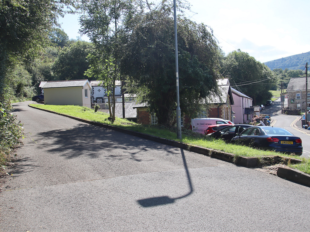
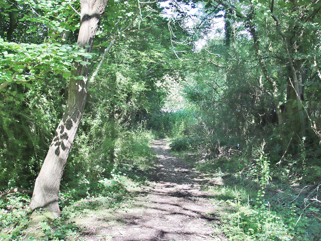
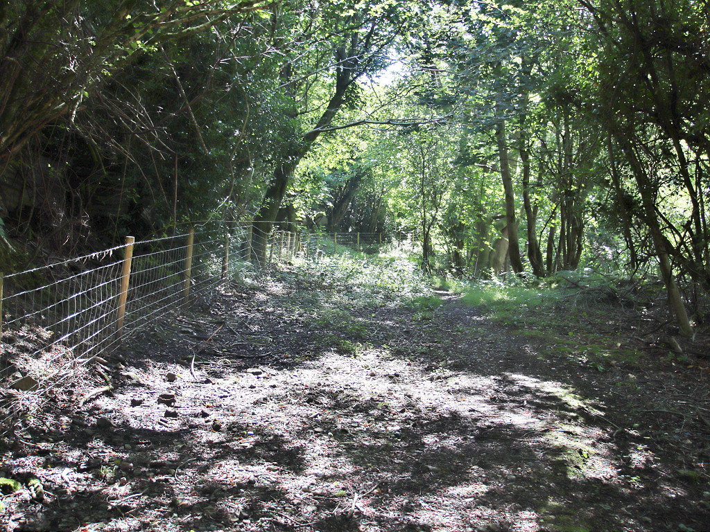
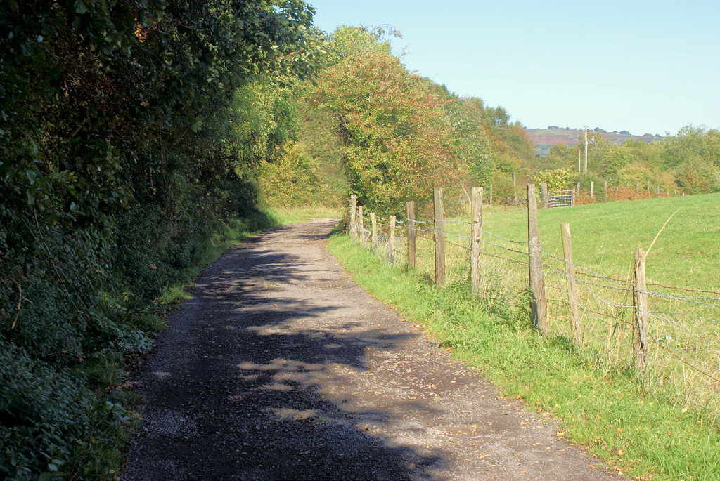
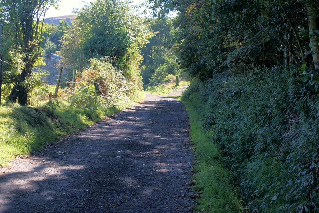
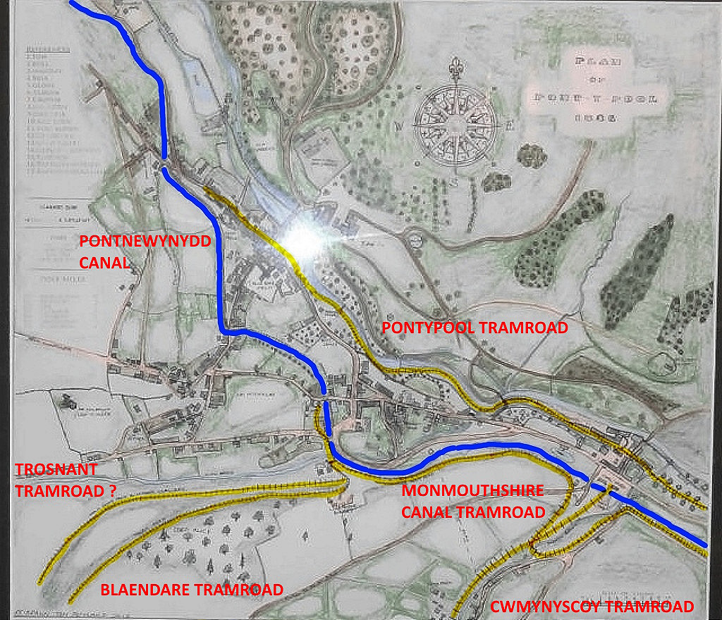
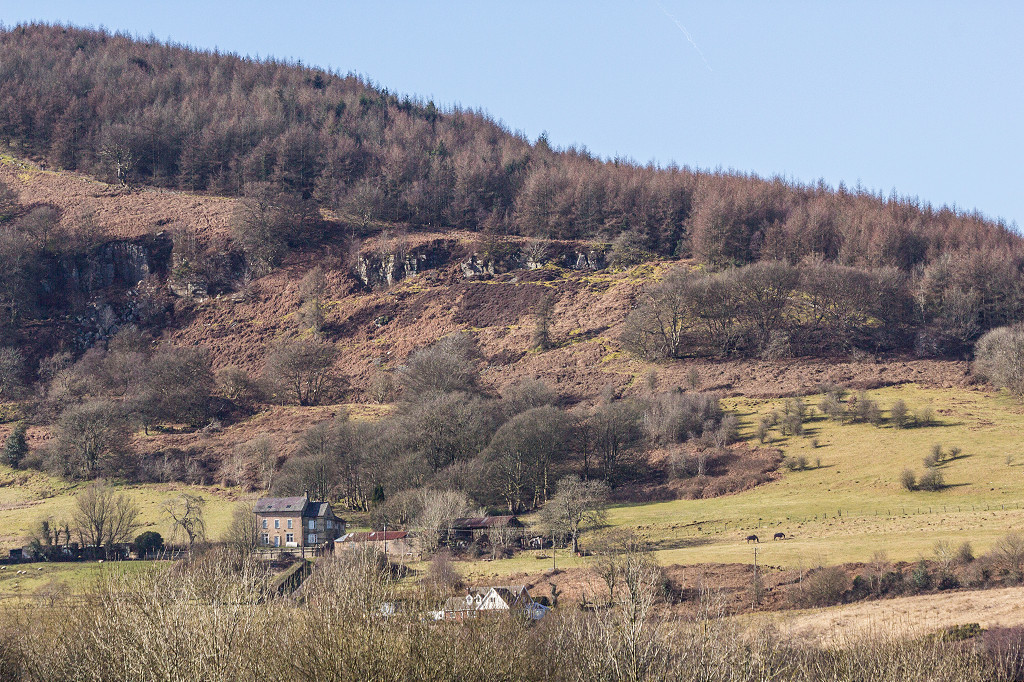
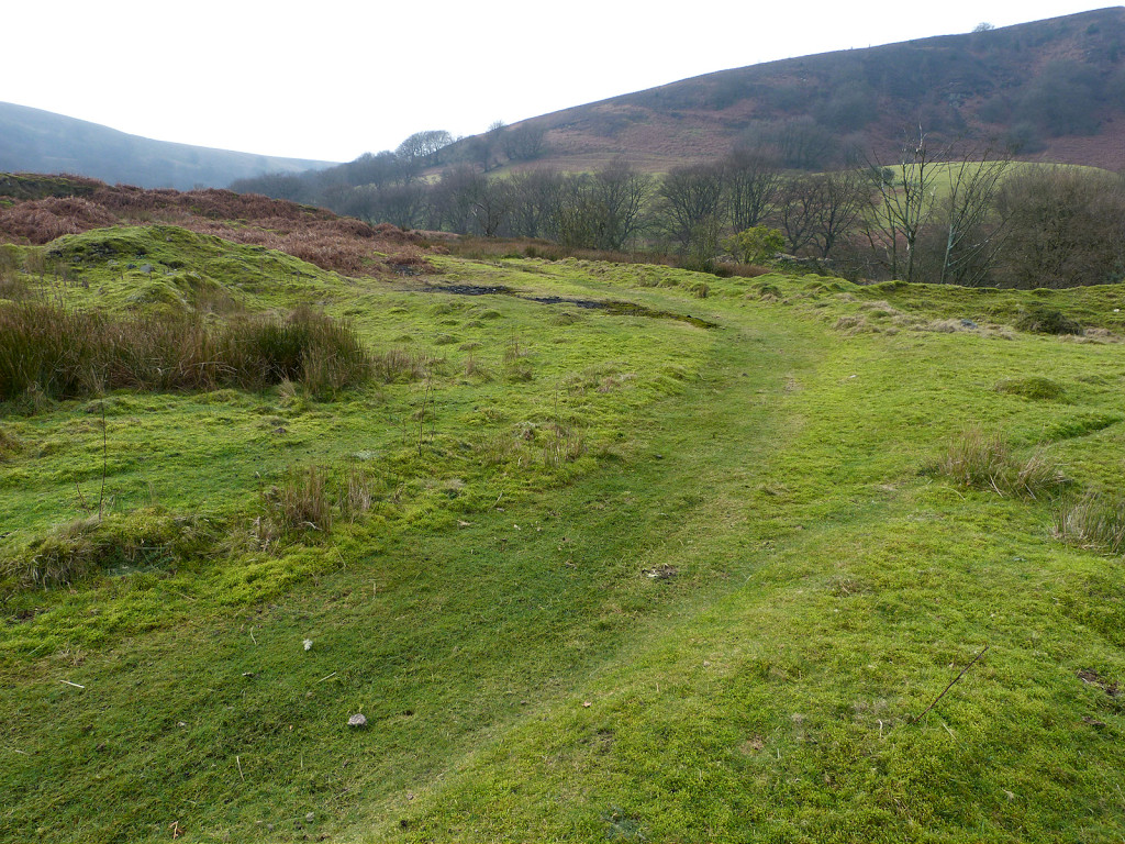
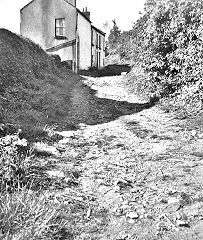
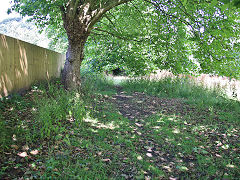
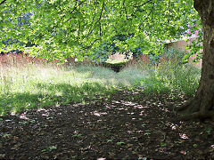
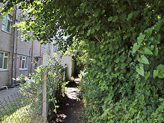
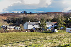
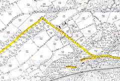
Cwmynyscoy and the tramroad
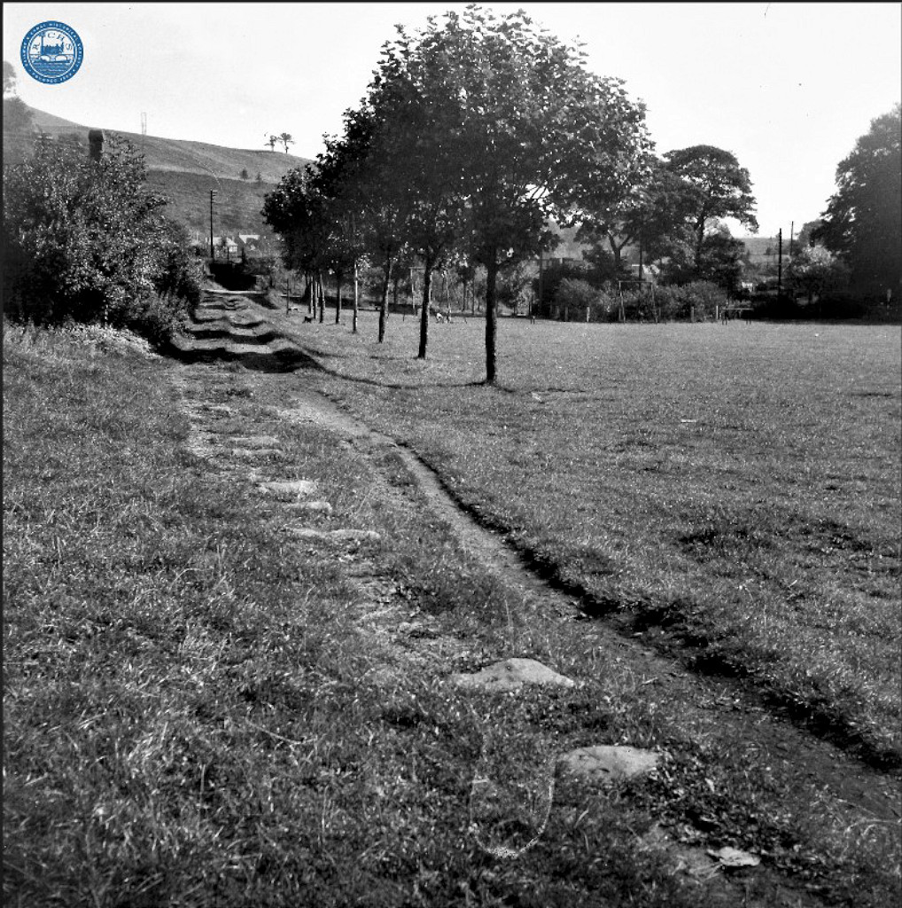
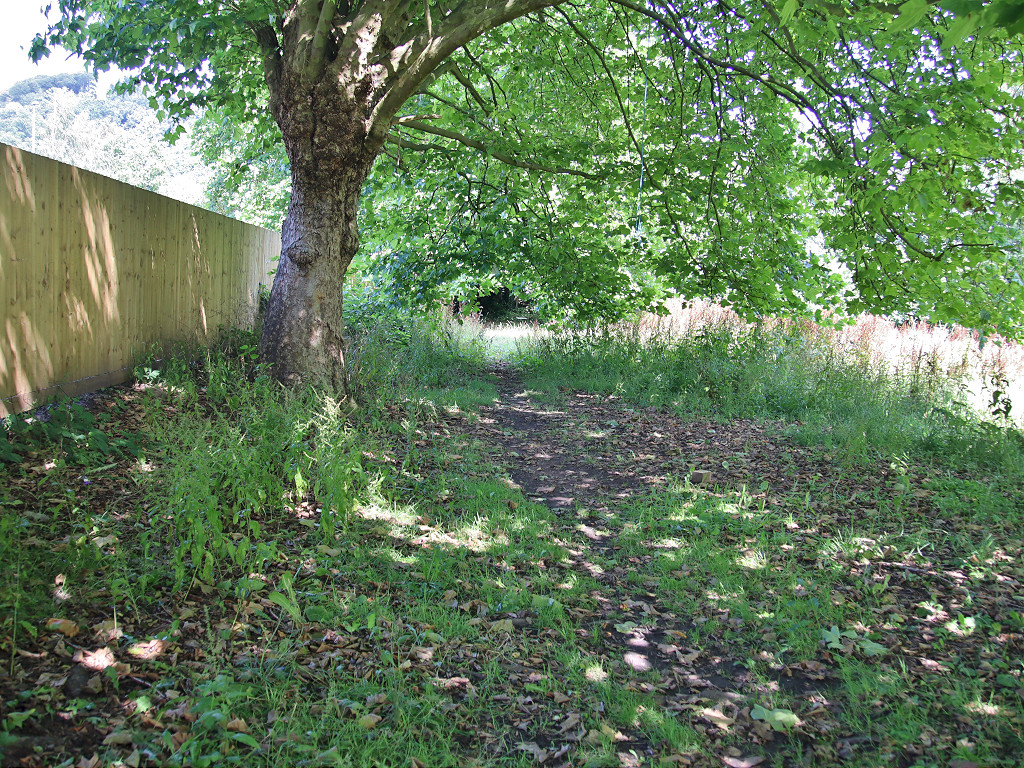
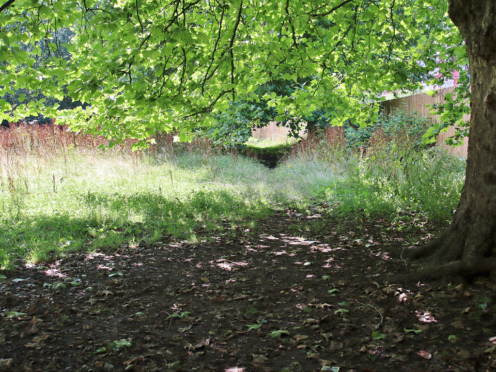
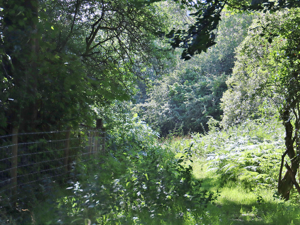
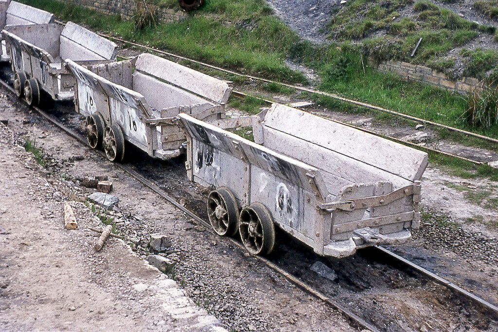
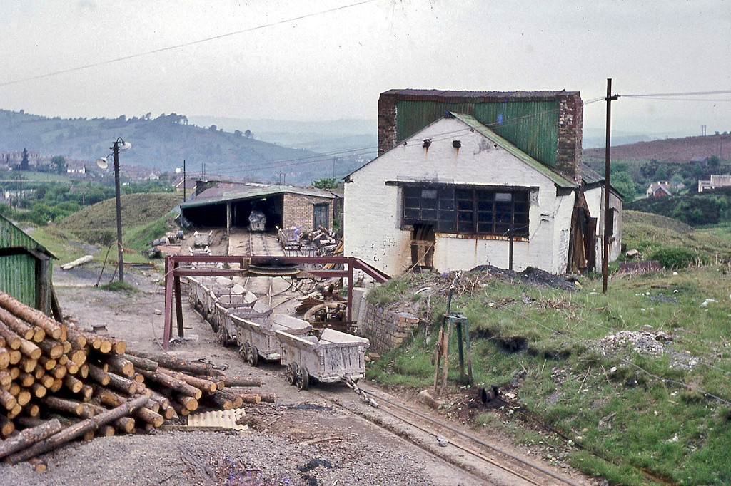
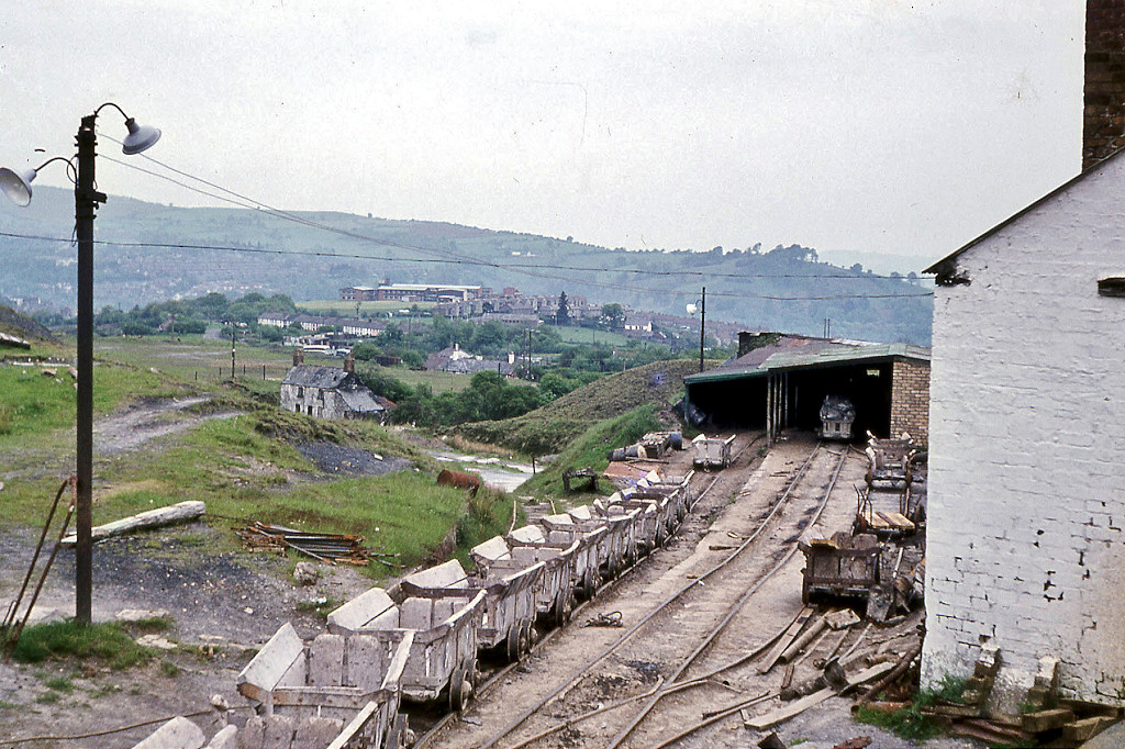
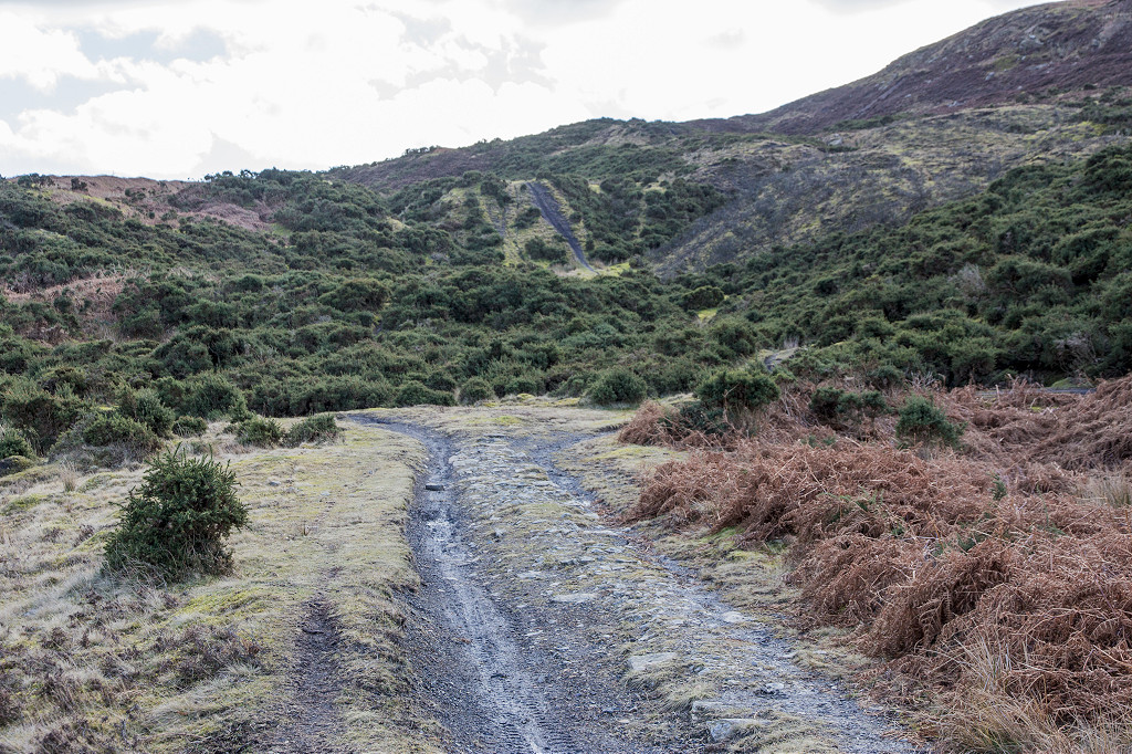
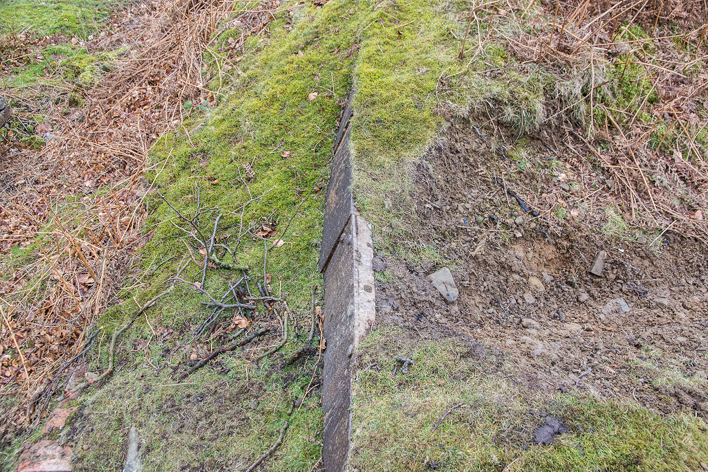
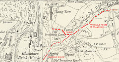
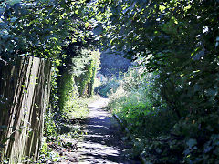
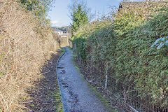
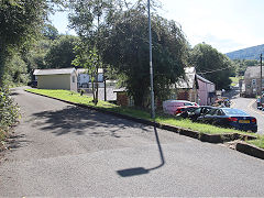
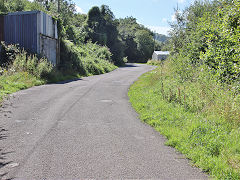
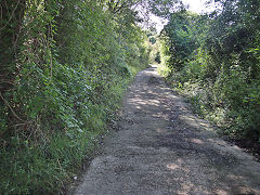
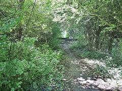
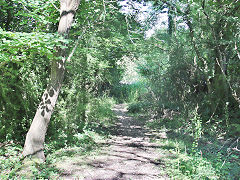
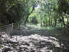
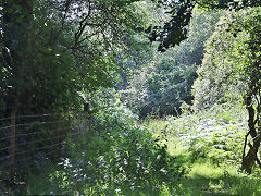
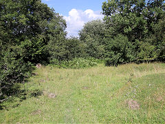
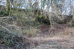
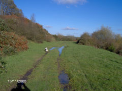
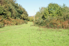
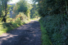
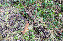
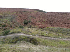
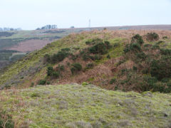
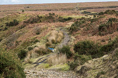
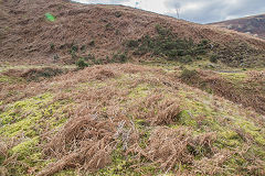
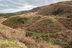
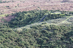
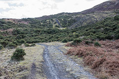
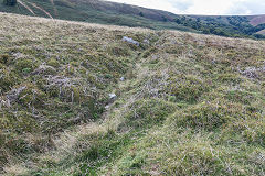
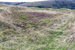
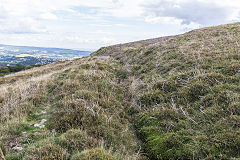
Cwmynyscoy Tramroad
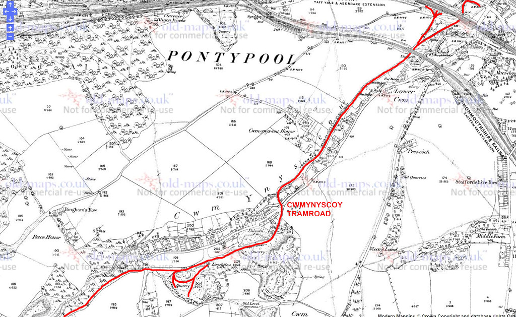
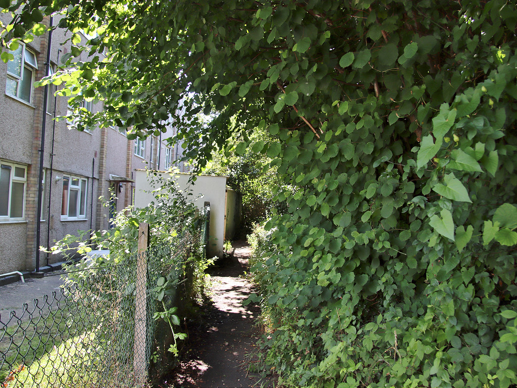
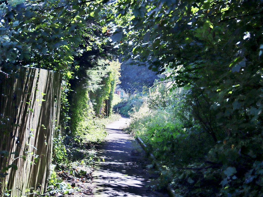
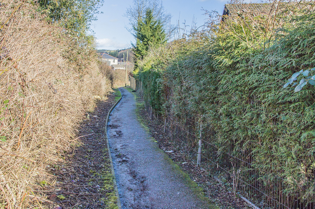
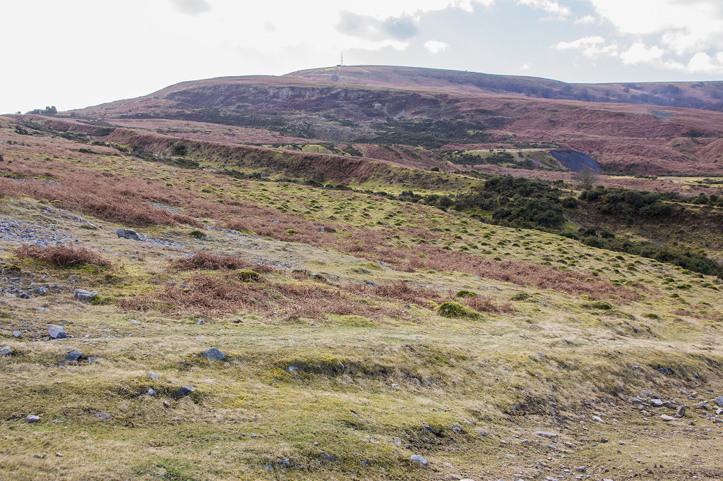
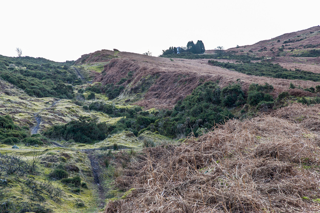
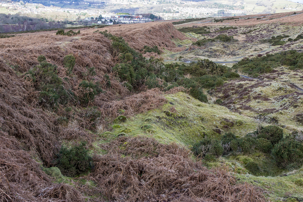
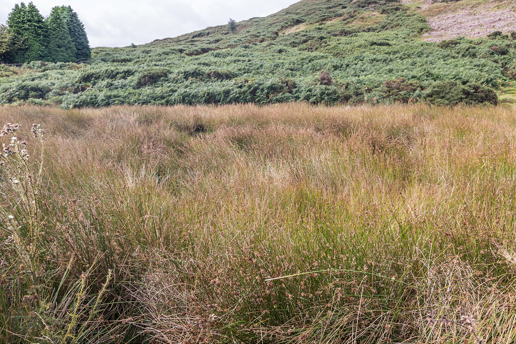
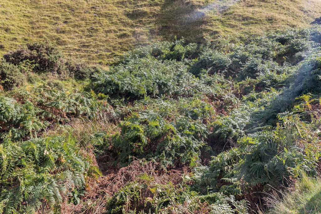
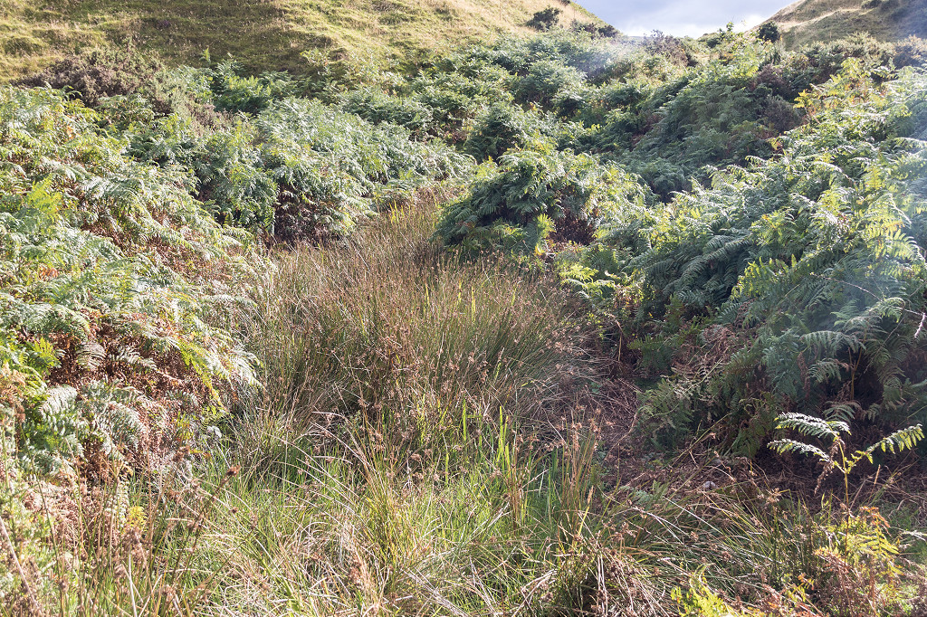
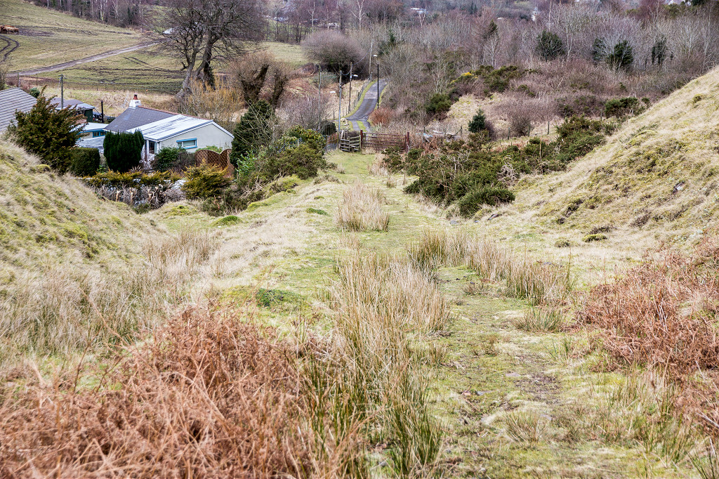
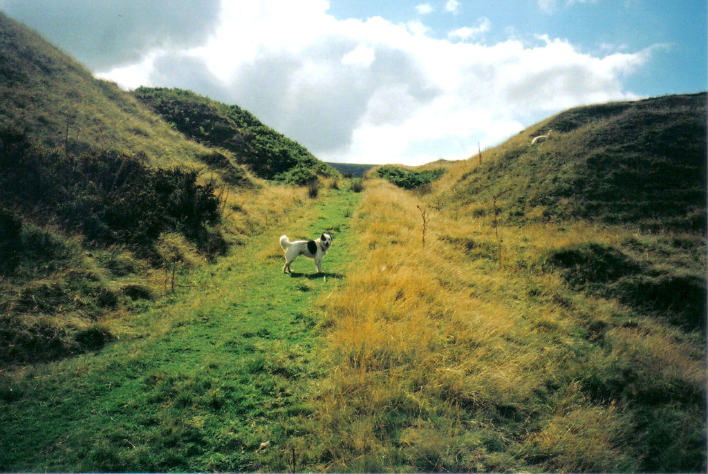
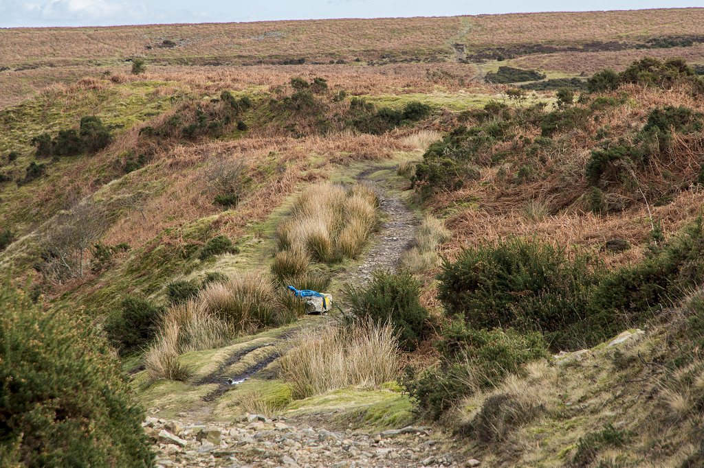
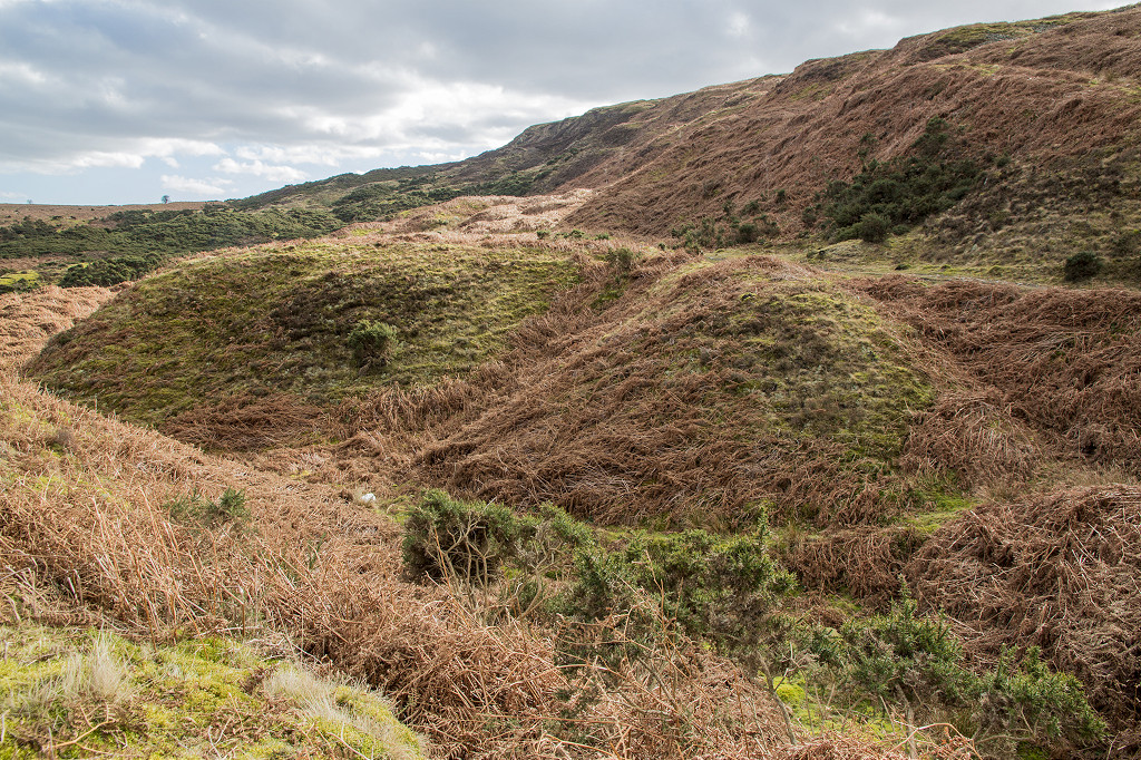
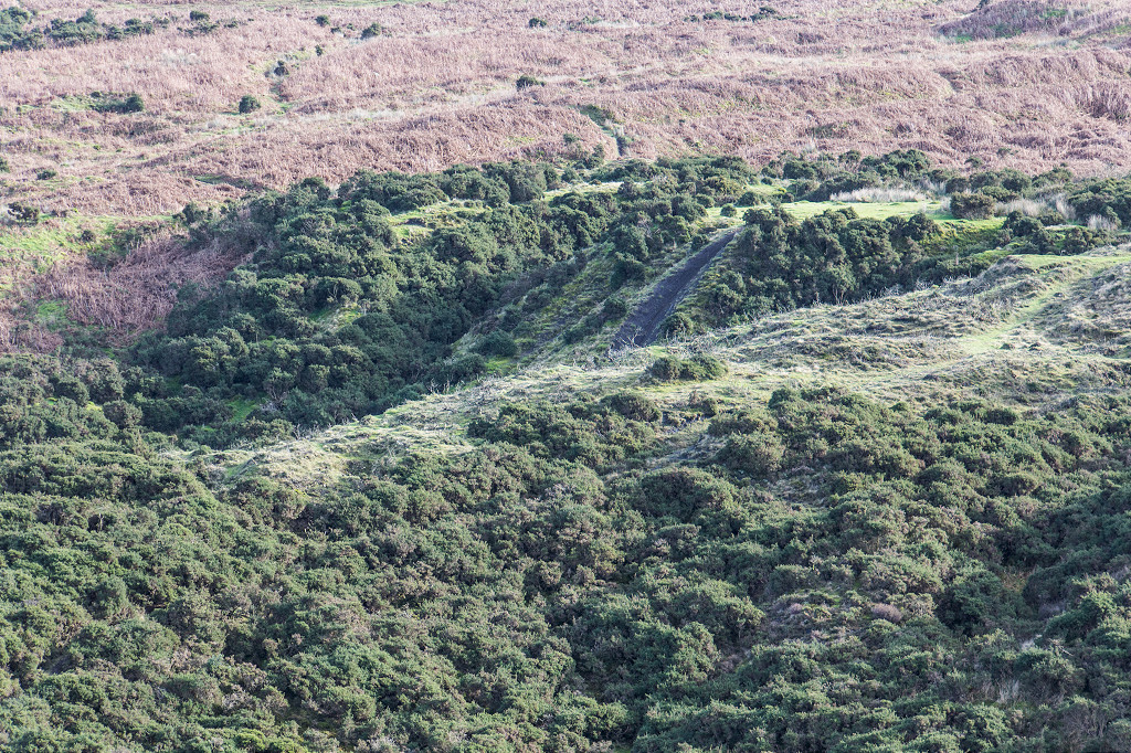
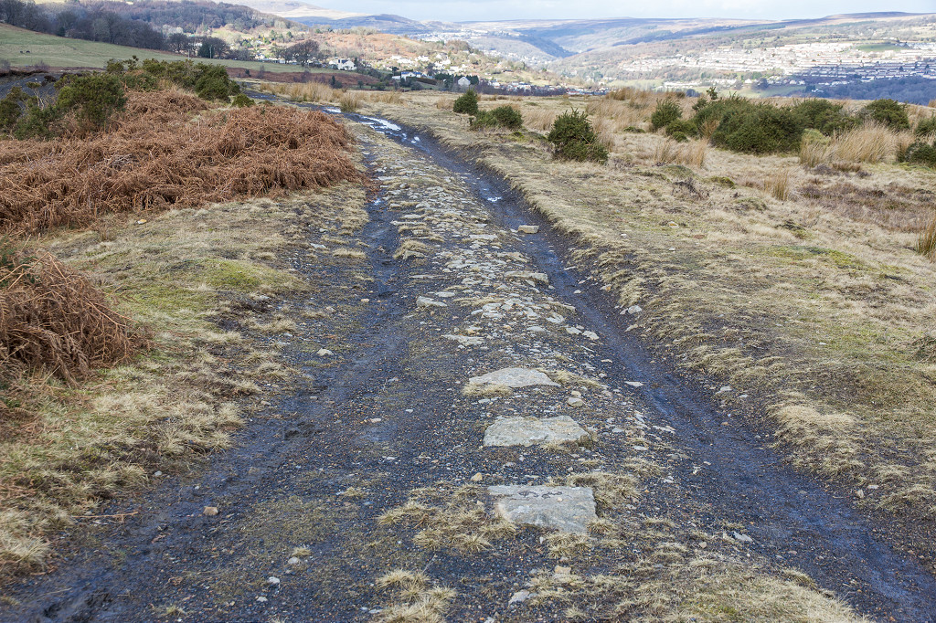
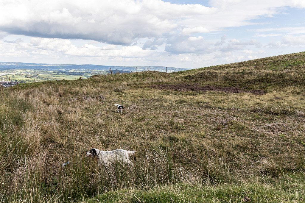
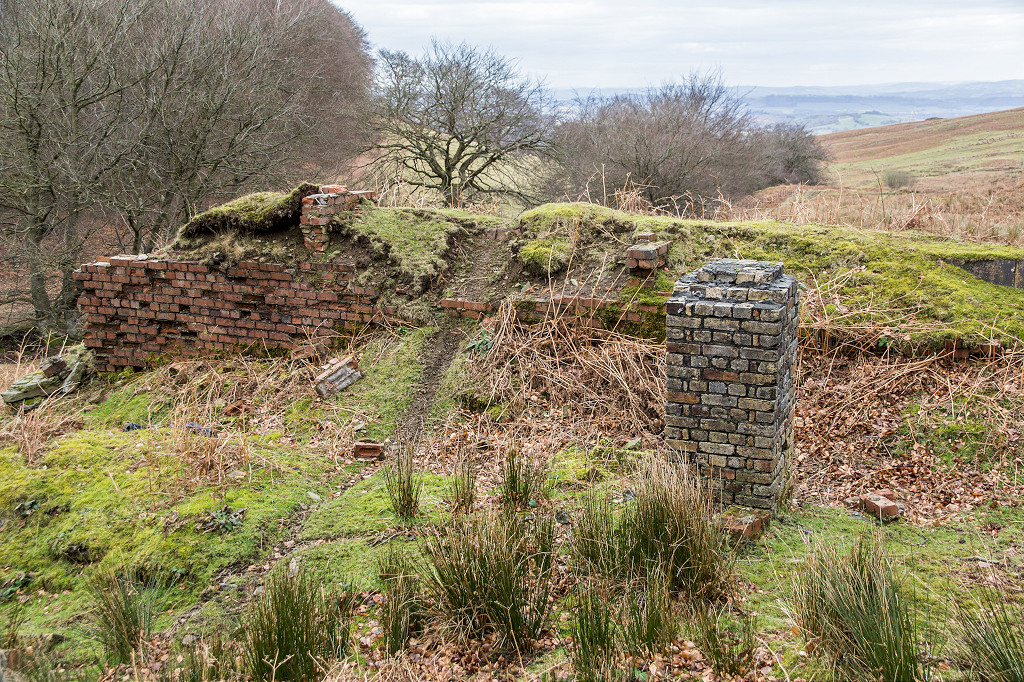
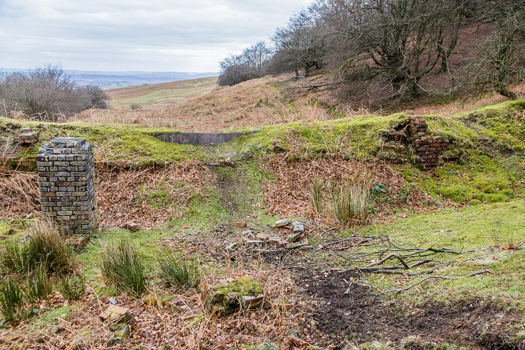
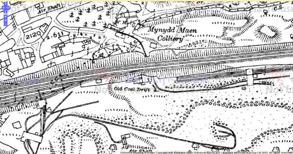
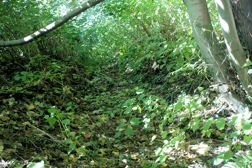
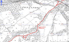
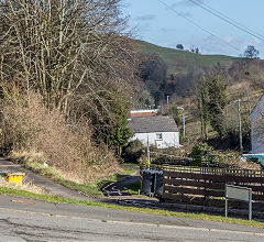
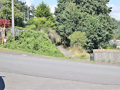
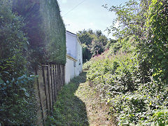
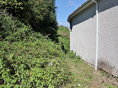
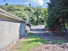
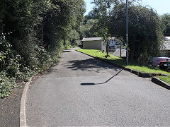
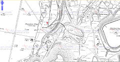
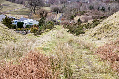
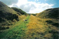
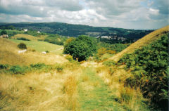
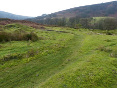
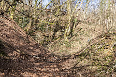
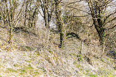
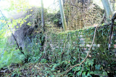
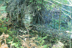
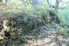
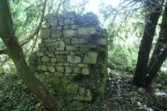
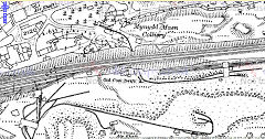
The Cwmynyscoy tramroad operated from c1800 to c1900, possibly to the 1930s as the quarry tramway. It connected the quarries to exchange sidings on the Taff Vale Extension Railway and under it to the Pontymoile Tinplate Works. Most of it can be followed as footpaths or lanes. Baxter calls this the Blaendare Tramroad but it is usually accepted that the 'Blaendare Tramroad' was a connection to the Trosnant Tramroad in the Glyn Valley. The Cwmynyscoy line certainly appears to have reached Blaendare at some time but possibly to the brickworks through the tunnel rather than the ironworks.
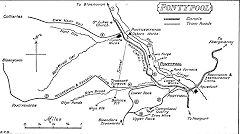
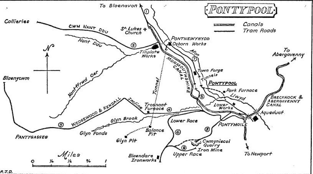
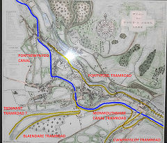
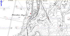
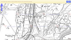
Tramroads around Pontypool
|
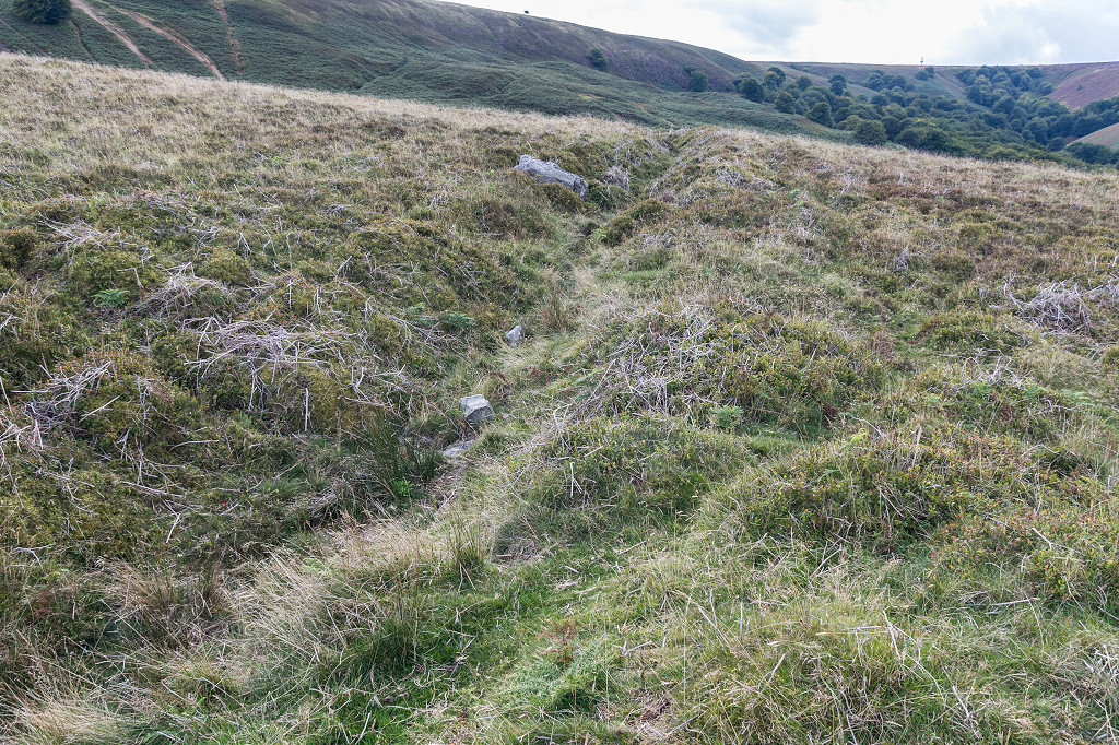
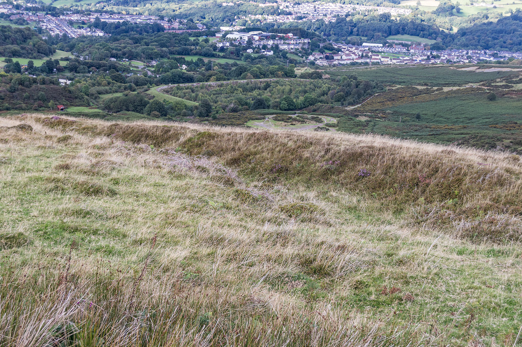
Cwmynyscoy Tramroad
|
Cwmynyscoy Tramroad
|

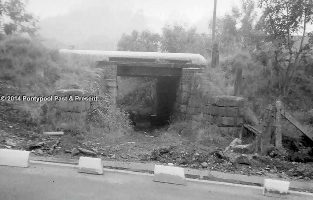
TVER Tramroad bridge
|
Tramroad Cottage
|
Tramroad Cottage
|
Tramroad at Rock Hill Road
|
Tramroad at Victoria Road
|
Cwmynyscoy Tramroad
|
Cwmynyscoy Tramroad
|
Cwmynyscoy Tramroad
|
Cwmynyscoy Tramroad
|
Cwmynyscoy Tramroad
|
Cwmynyscoy Tramroad
|
Cwmynyscoy Tramroad
|
Cwmynyscoy Tramroad
|
Cwmynyscoy Tramroad
|
Cwmynyscoy Tramroad
|
Cwmynyscoy Tramroad
|
Cwmynyscoy Tramroad
|
Cwmynyscoy Tramroad
|
Cwmynyscoy Tramroad
|
Cwmynyscoy Tramroad
|
Cwmynyscoy Tramroad
|
Cwmynyscoy Tramroad
|
Cwmynyscoy Tramroad
|
Cwmynyscoy Tramroad
|
|
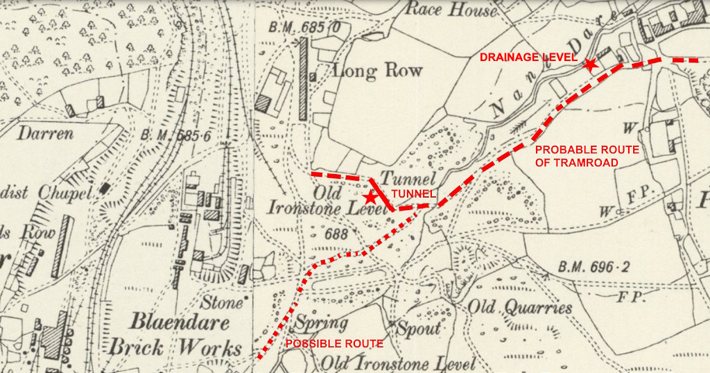
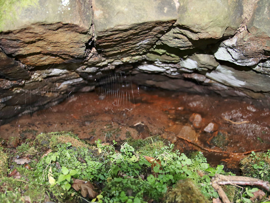
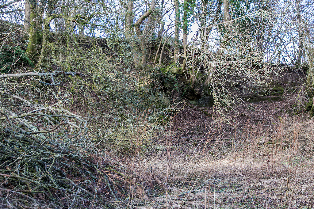
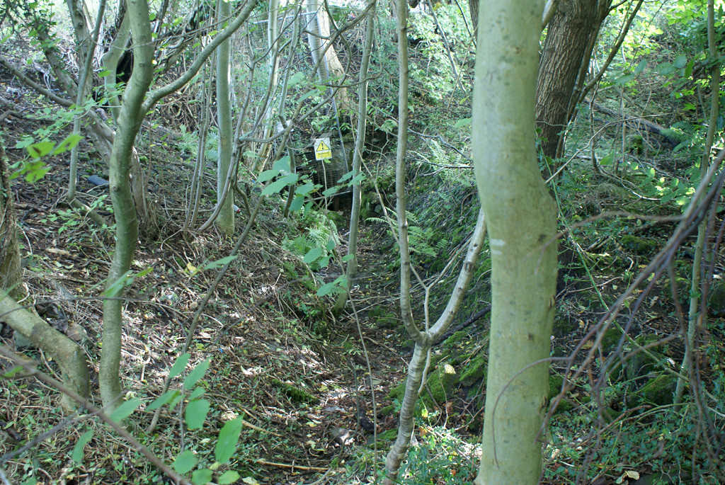
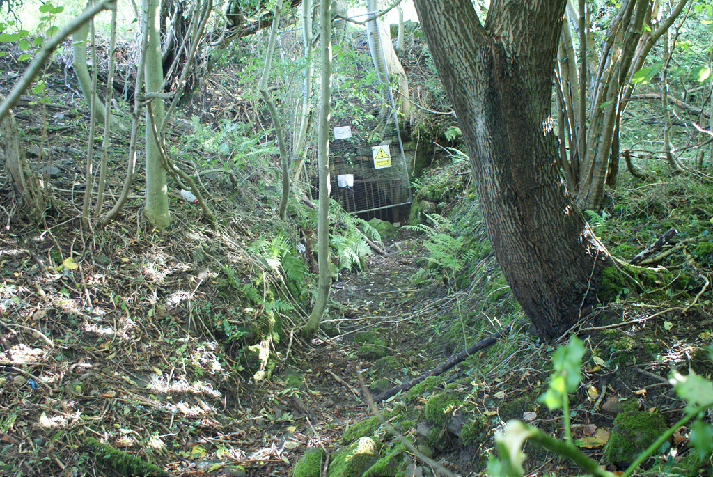
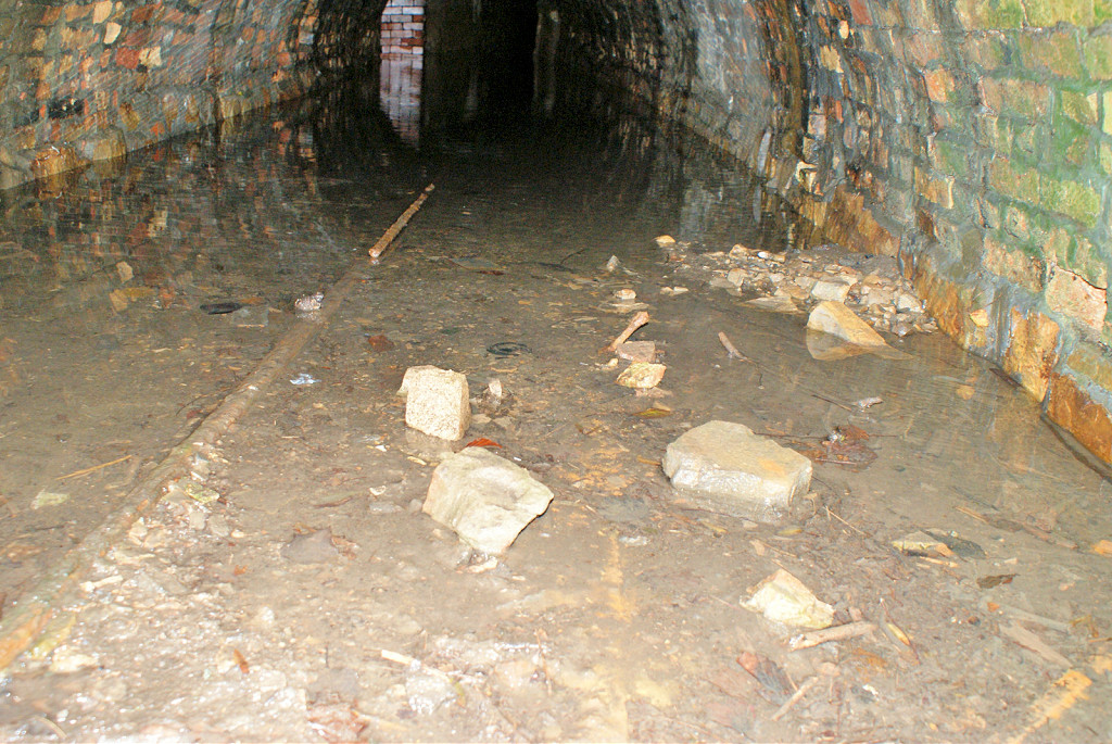
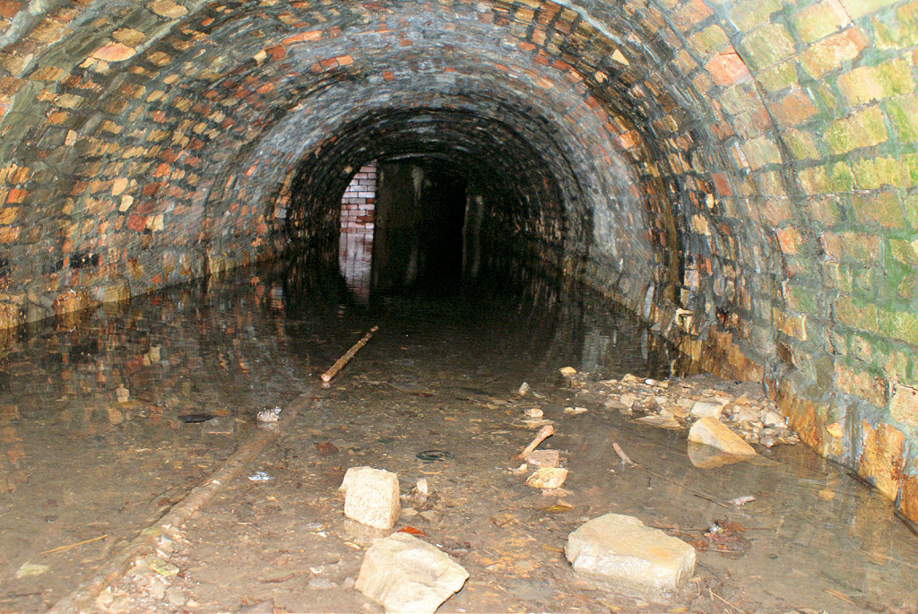
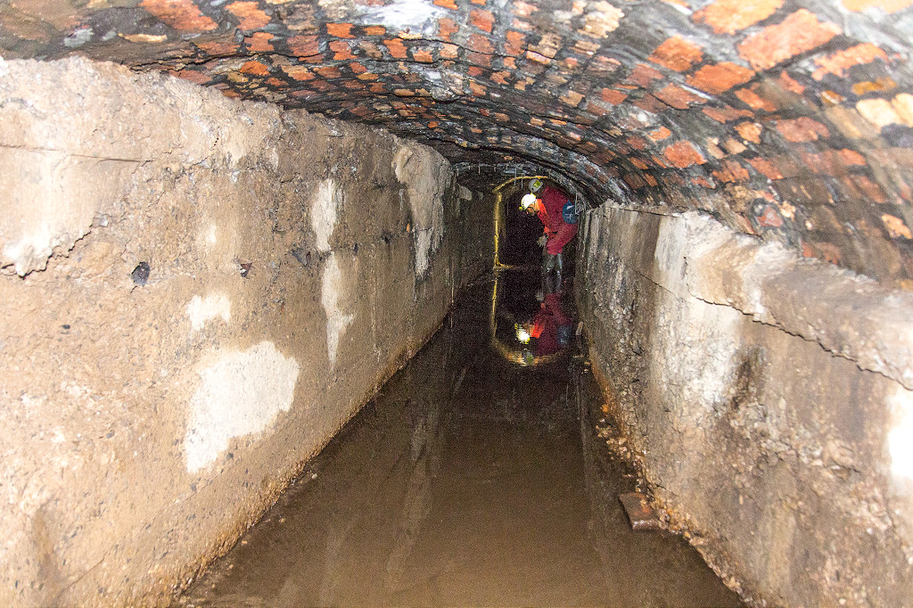
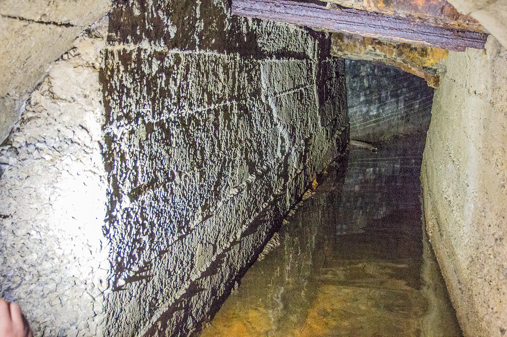
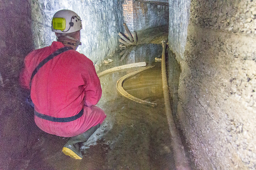
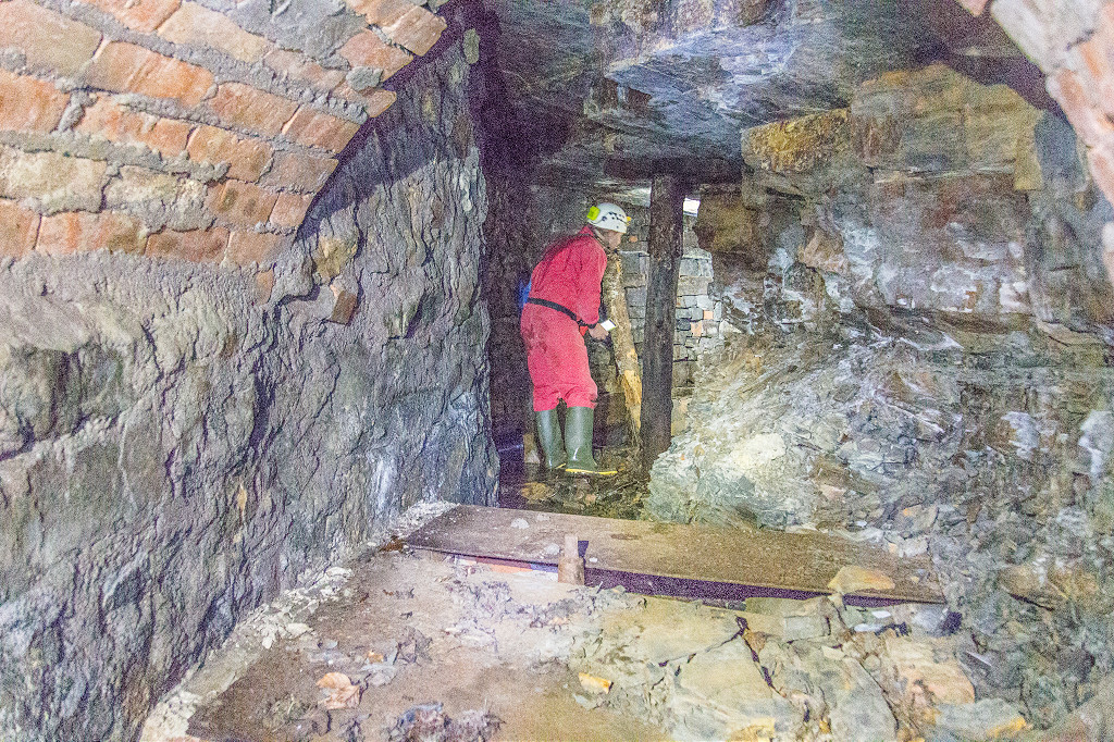
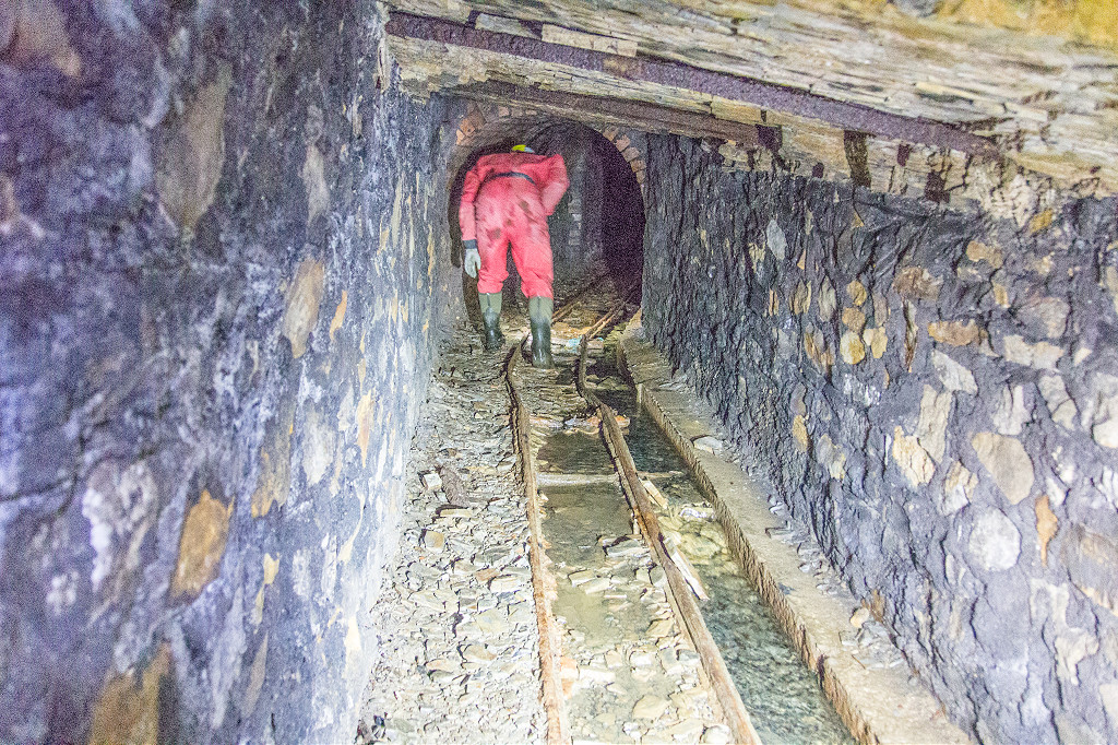
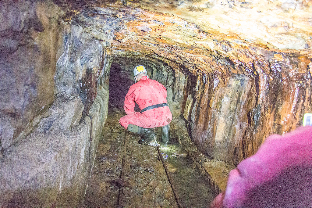
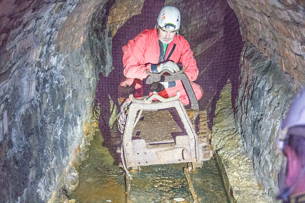
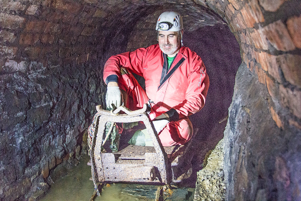
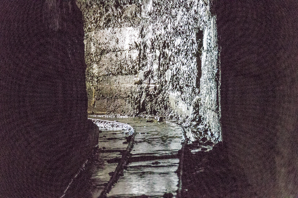
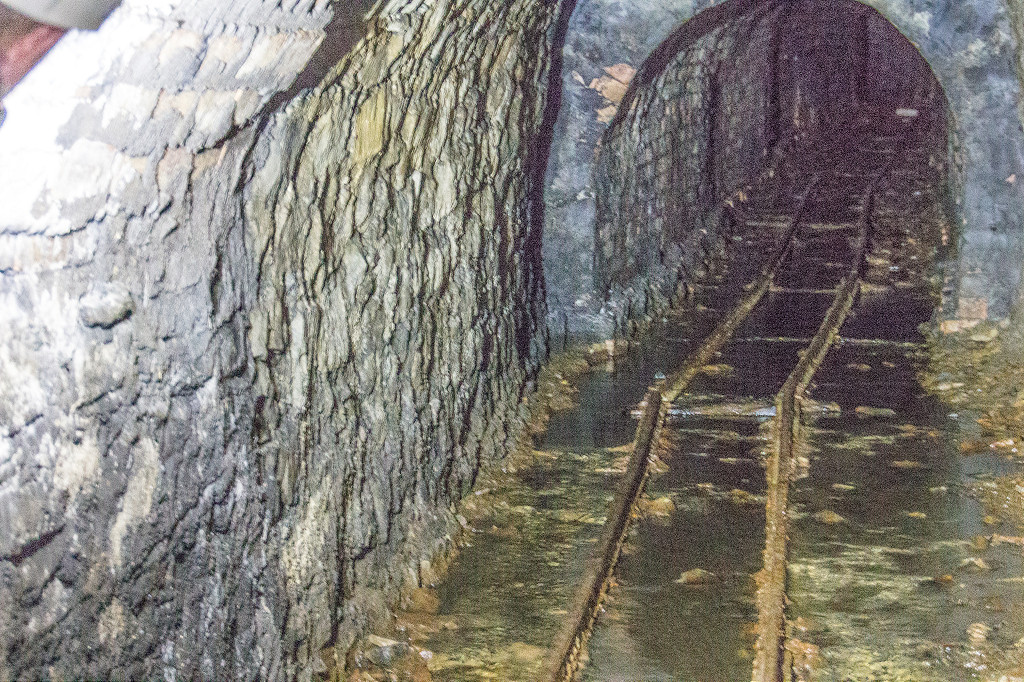
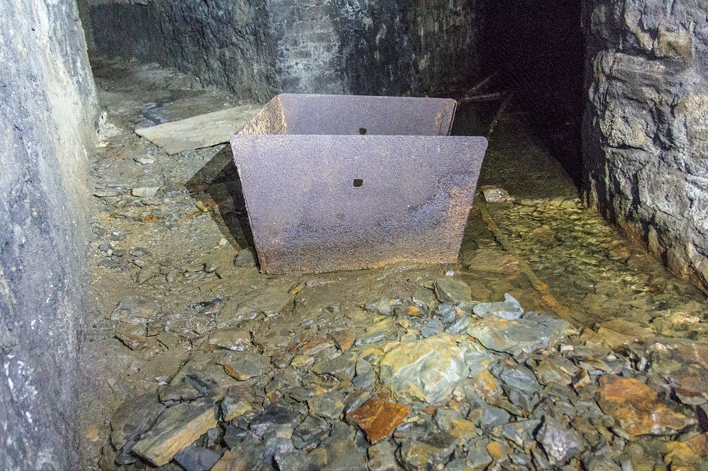
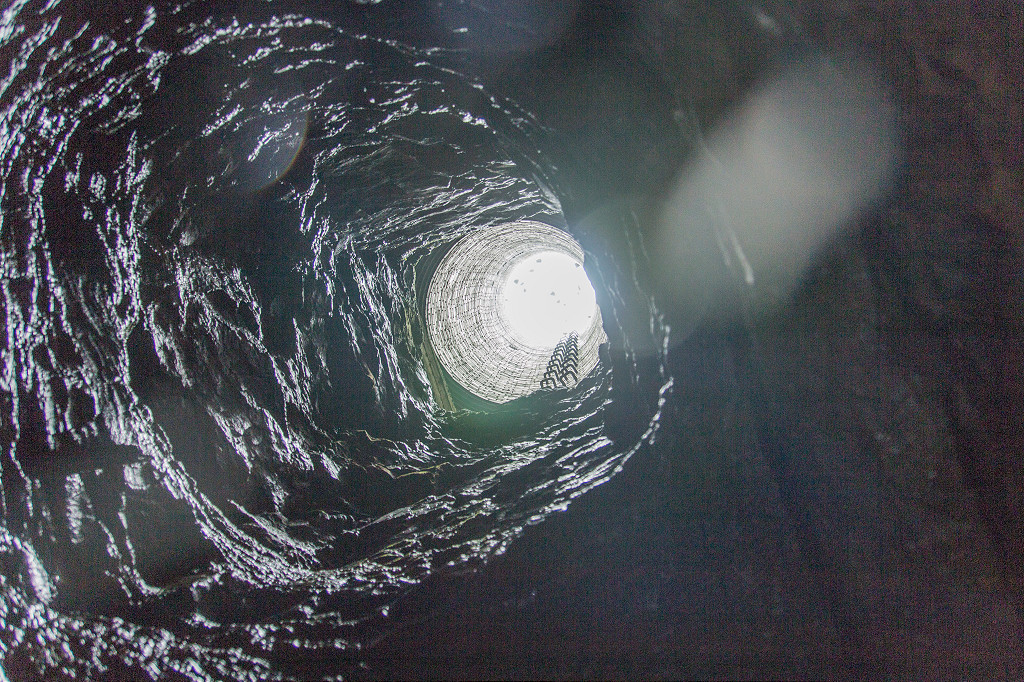
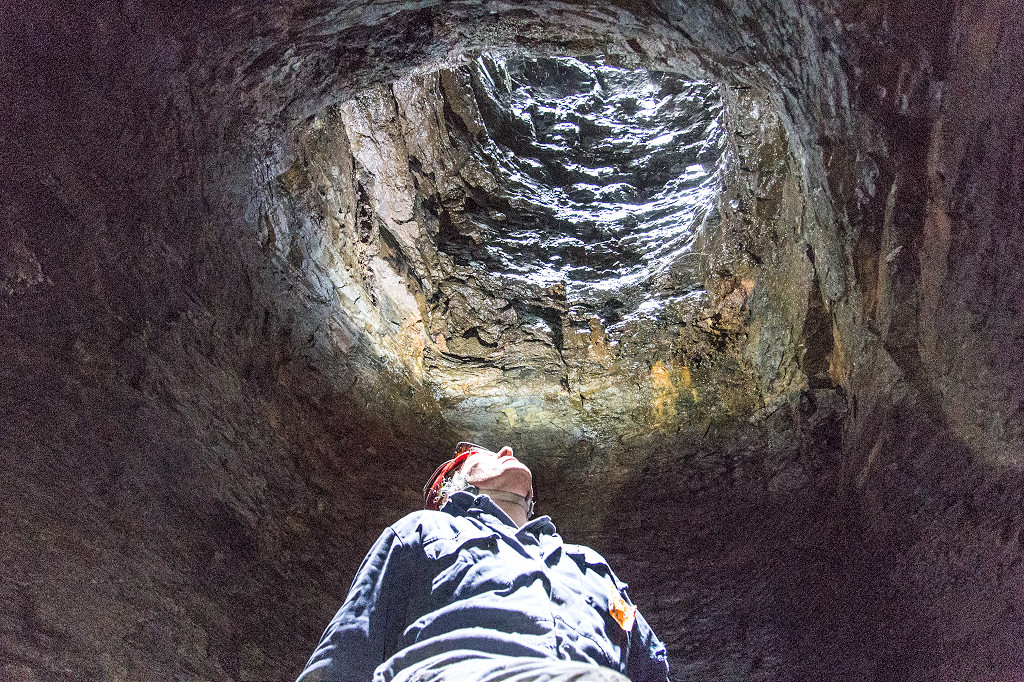
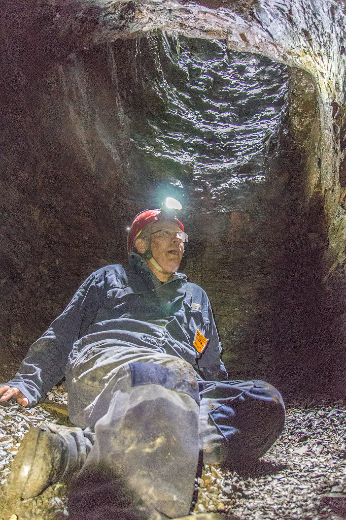
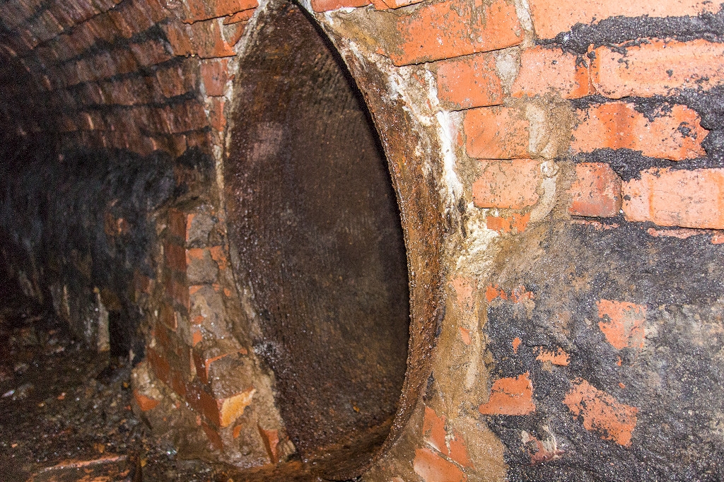
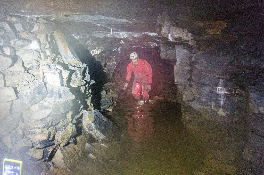
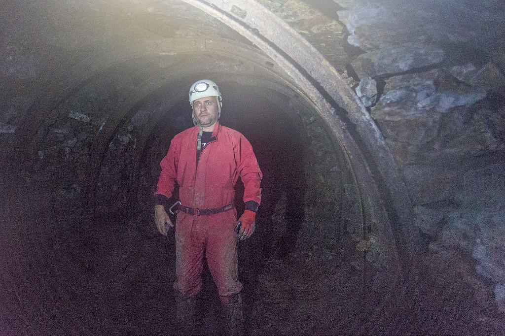
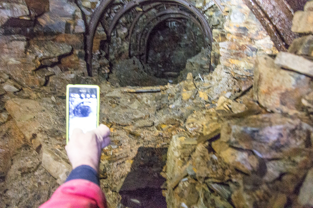
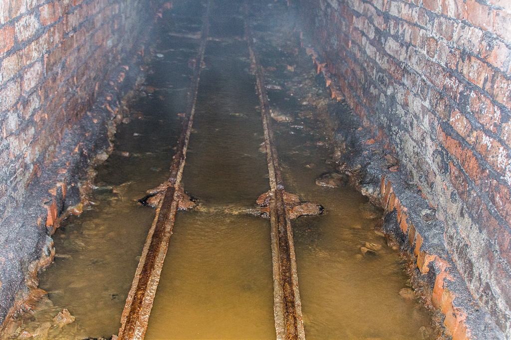
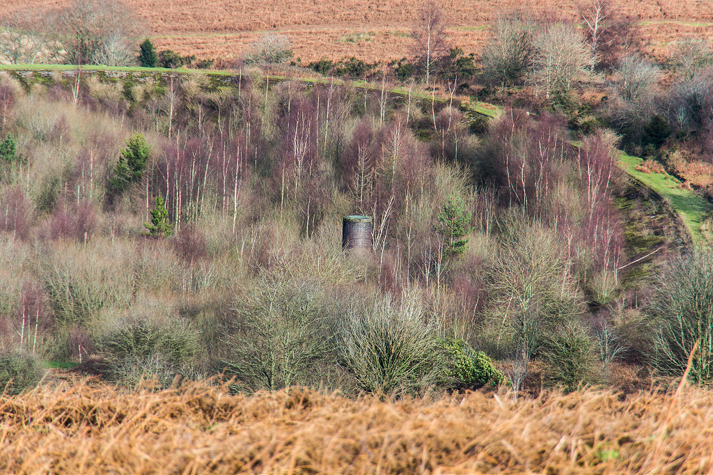
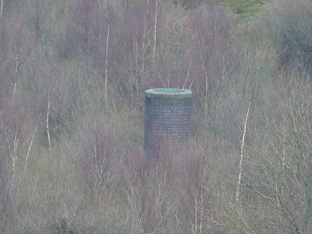
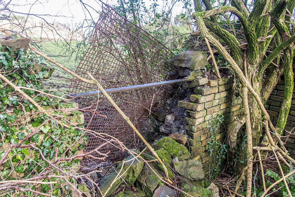
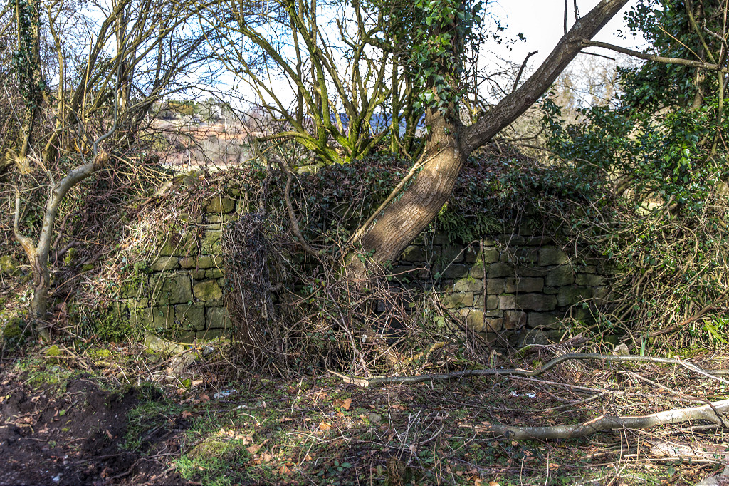
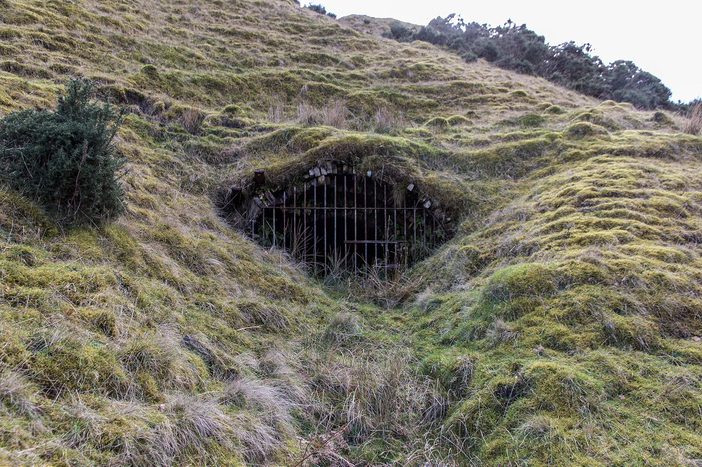
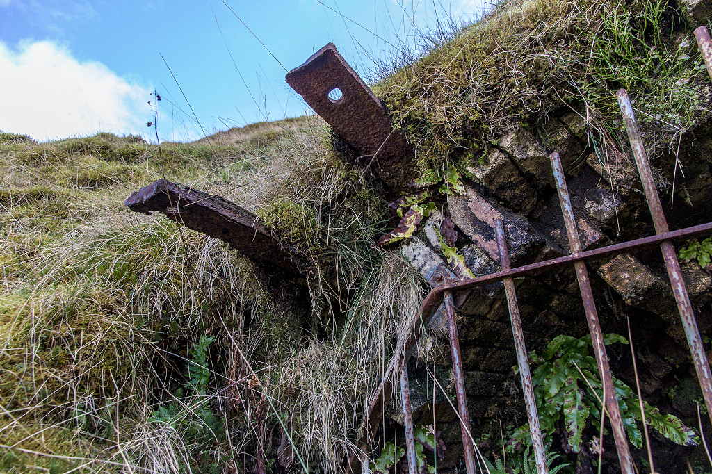
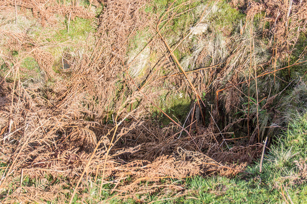
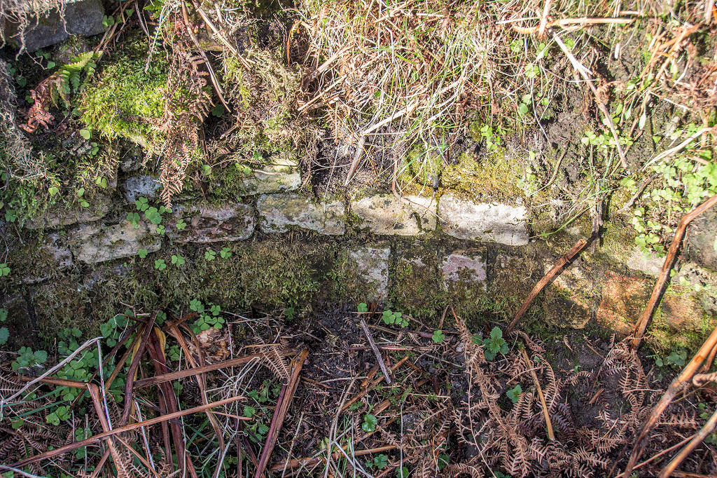
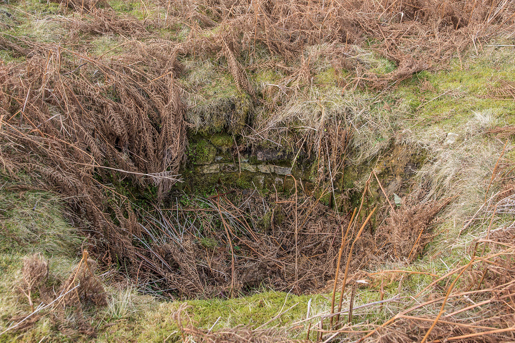
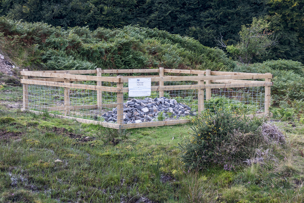
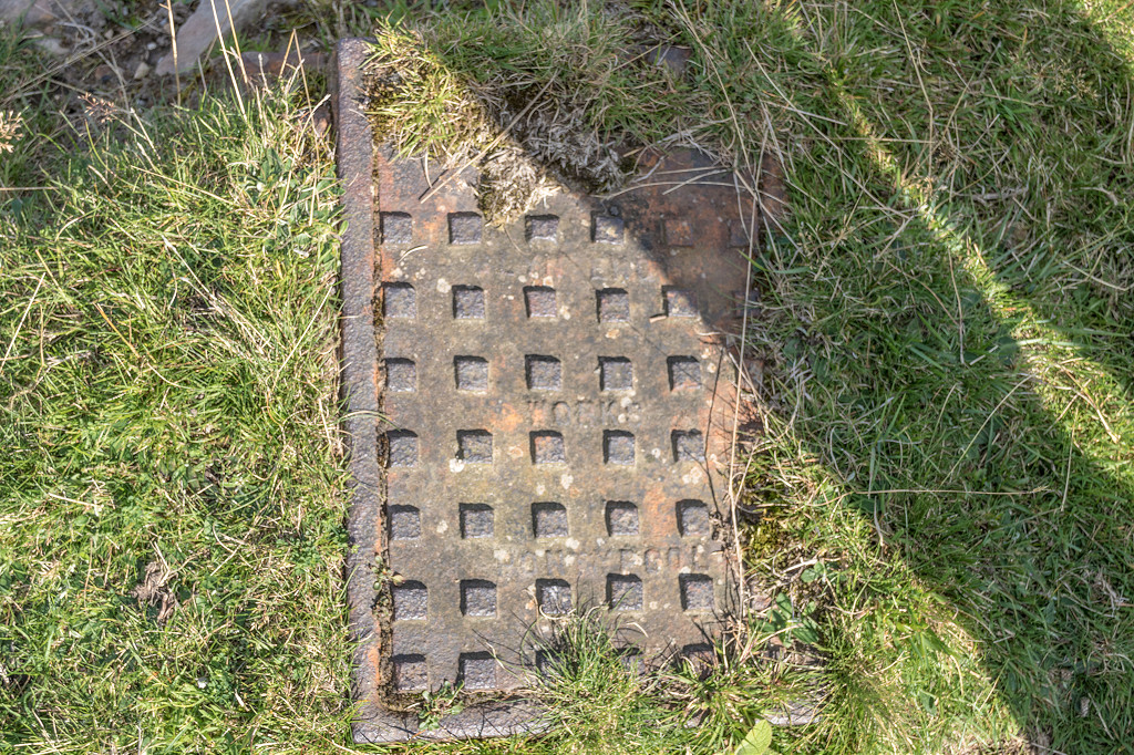
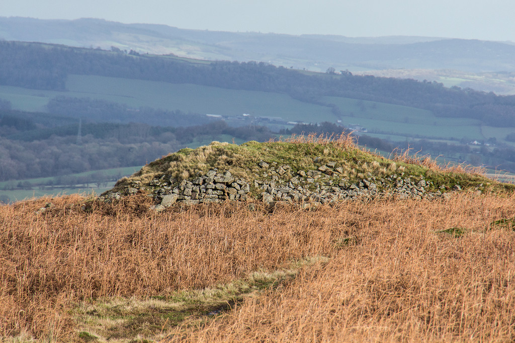
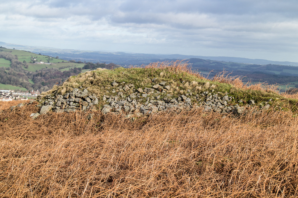
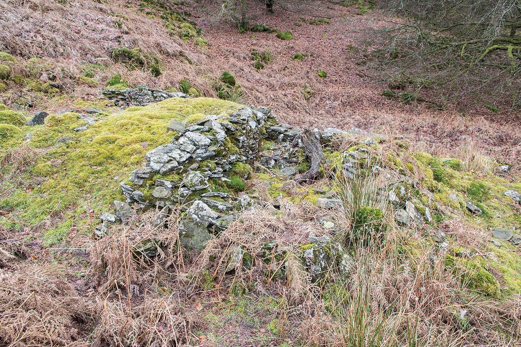
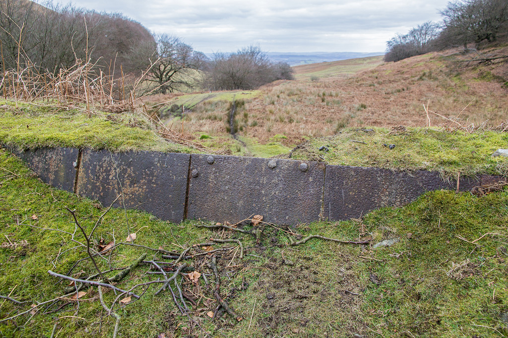
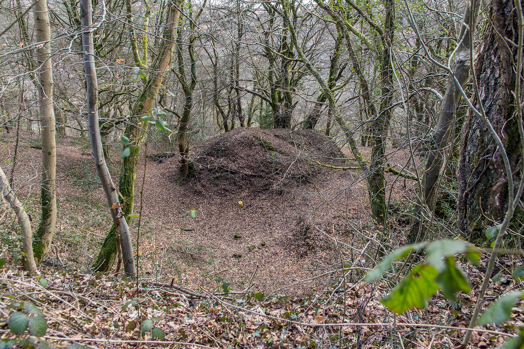
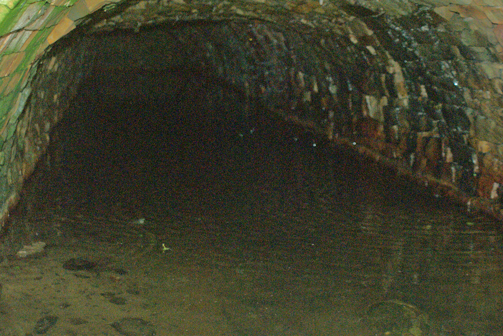
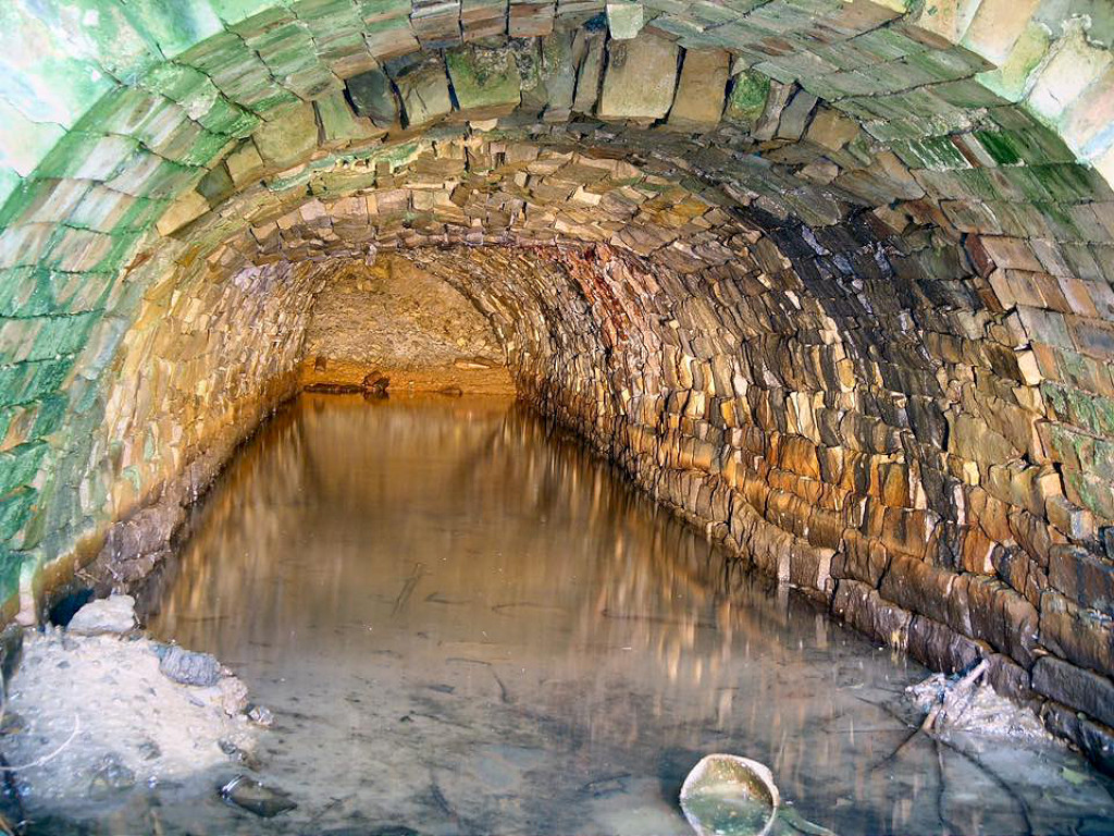
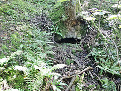
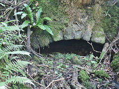
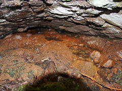
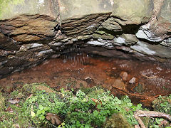
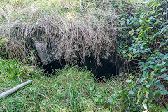
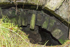
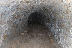
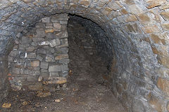
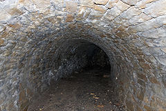
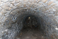
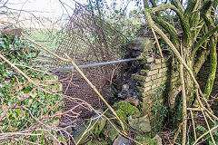
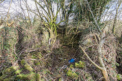
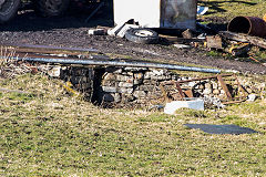
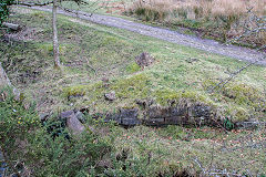
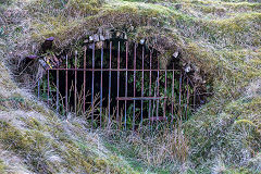
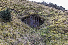
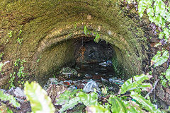
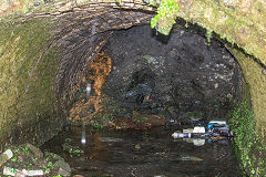
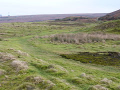
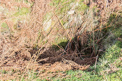
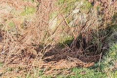
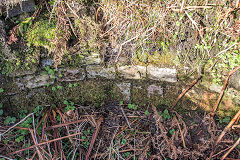
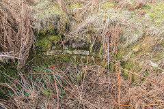
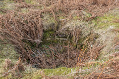
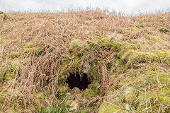
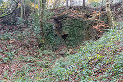
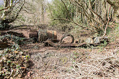
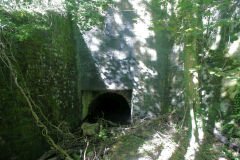
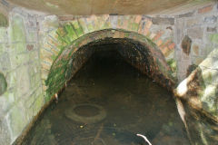
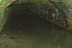
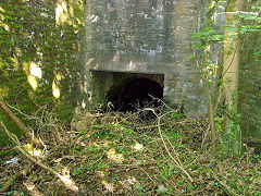
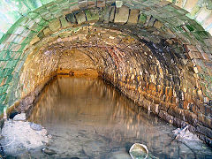
Drainage Level beside the tramroad - ST 2799 9974
This tunnel appears to be a drainage level into Nant Dare for ironstone workings higher up.
Nant Dare drainage tunnel
|
Nant Dare drainage tunnel
|
Nant Dare drainage tunnel
|
Nant Dare drainage tunnel
|
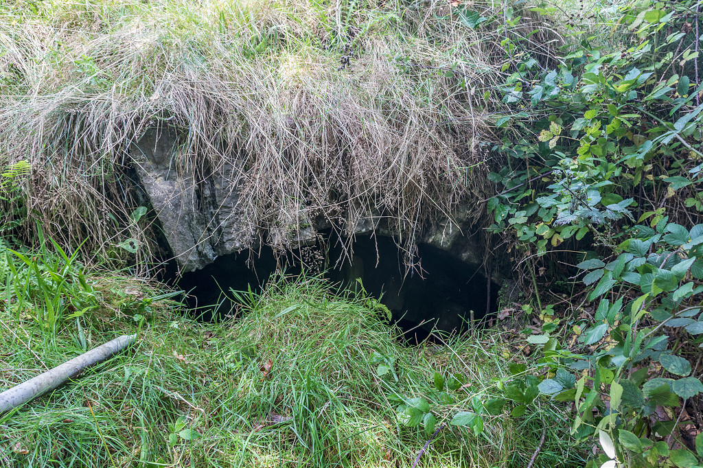
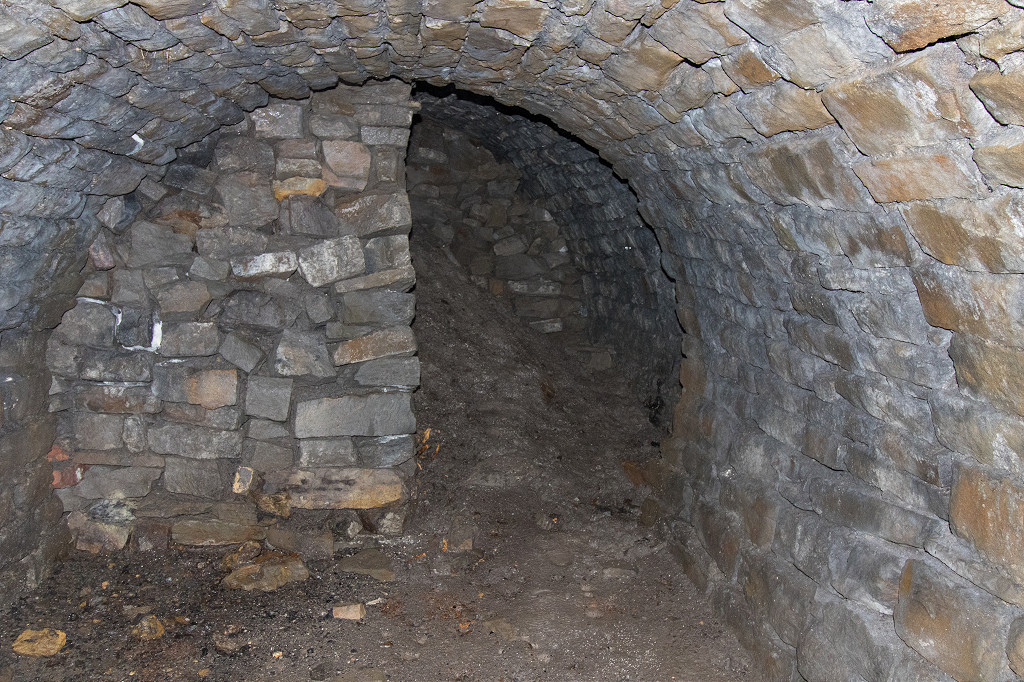
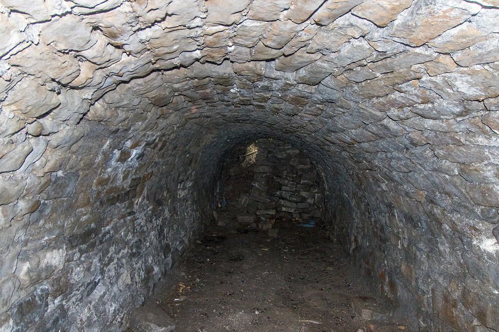
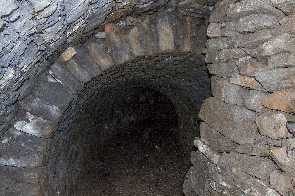
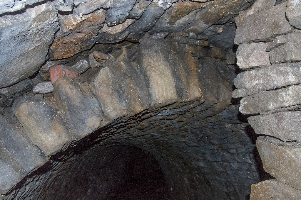
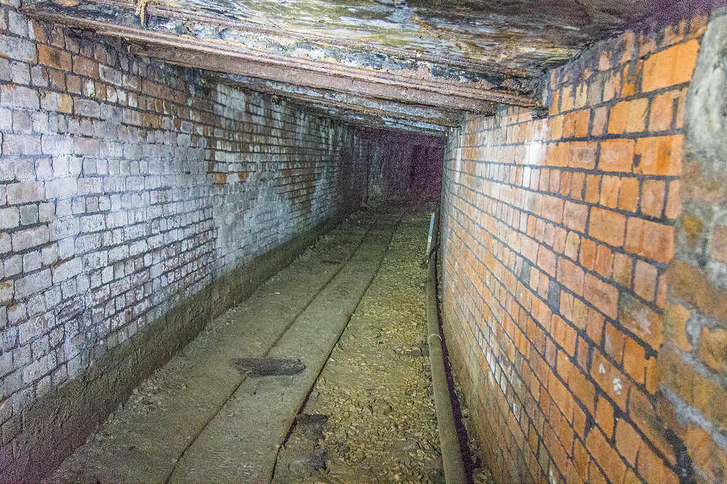
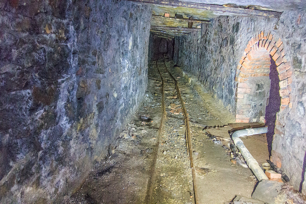
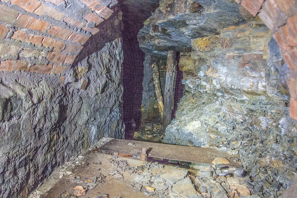
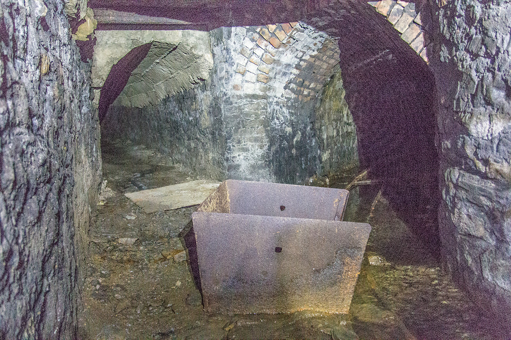
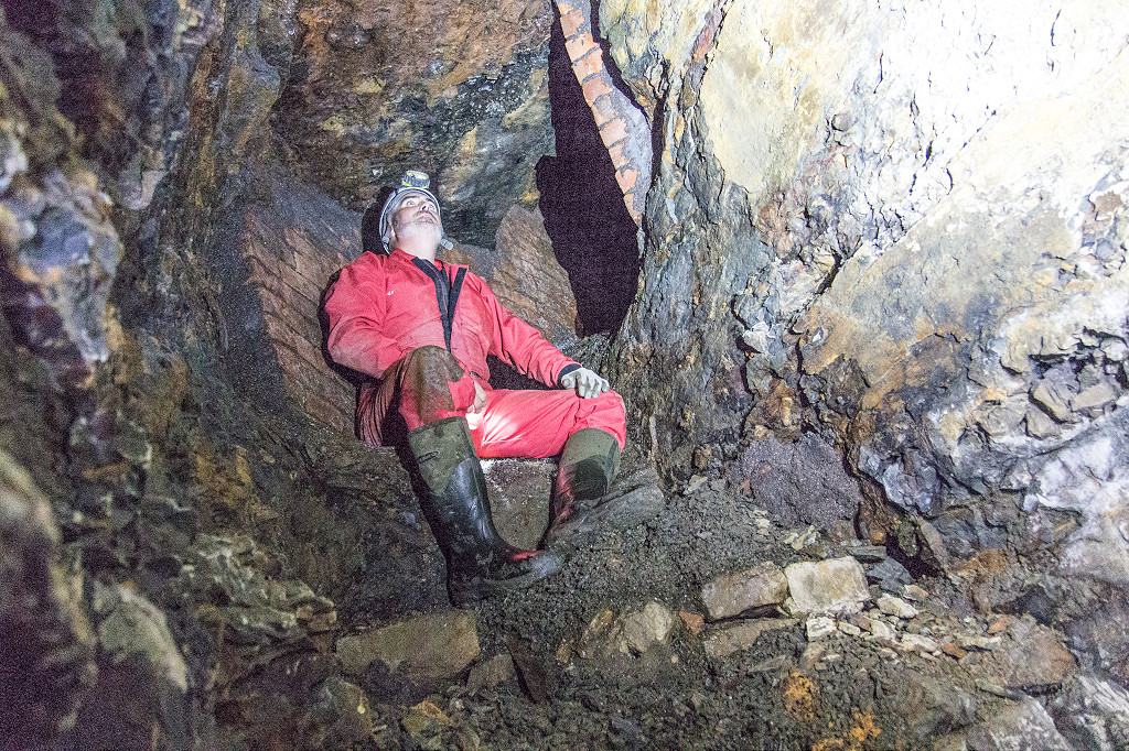
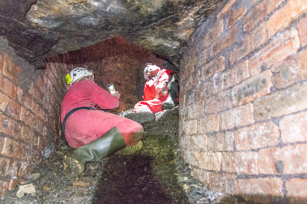
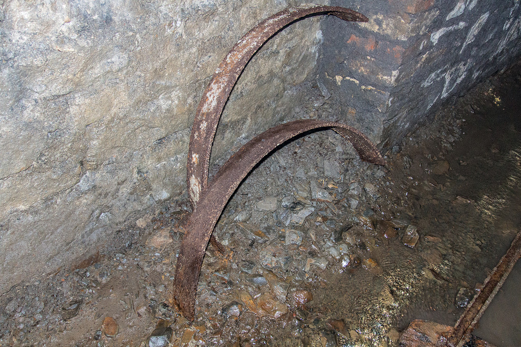
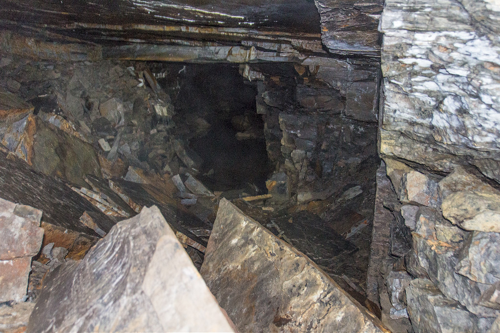
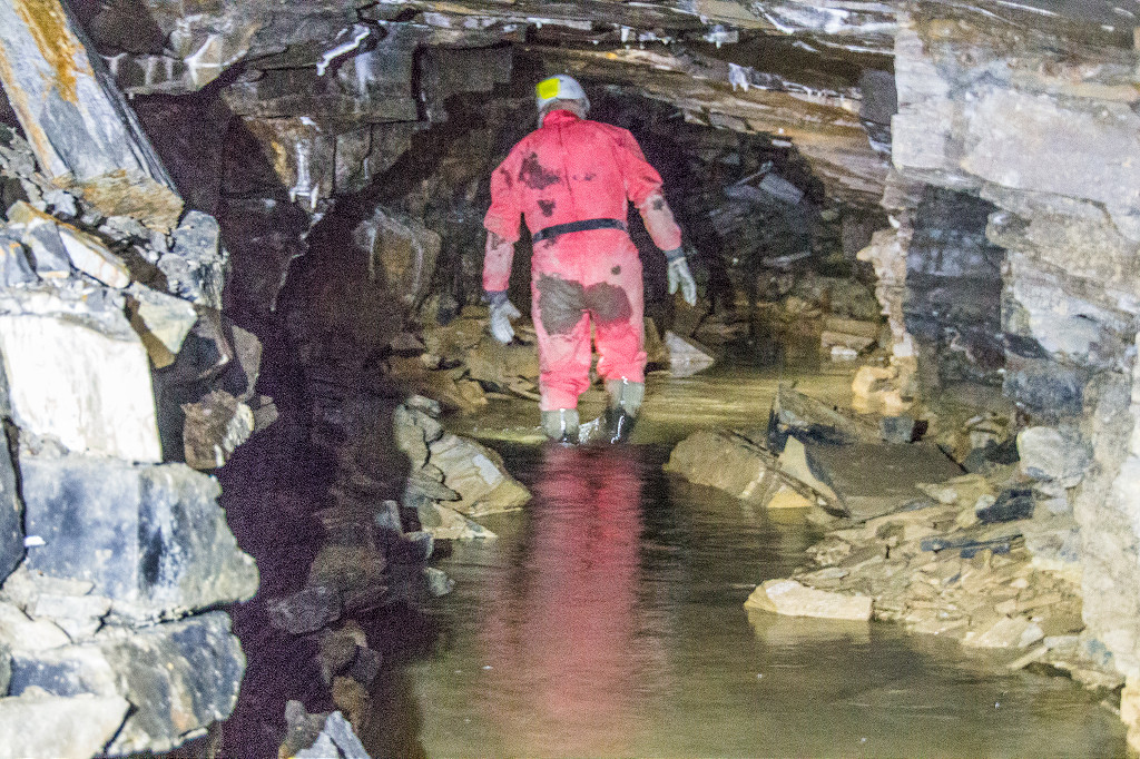
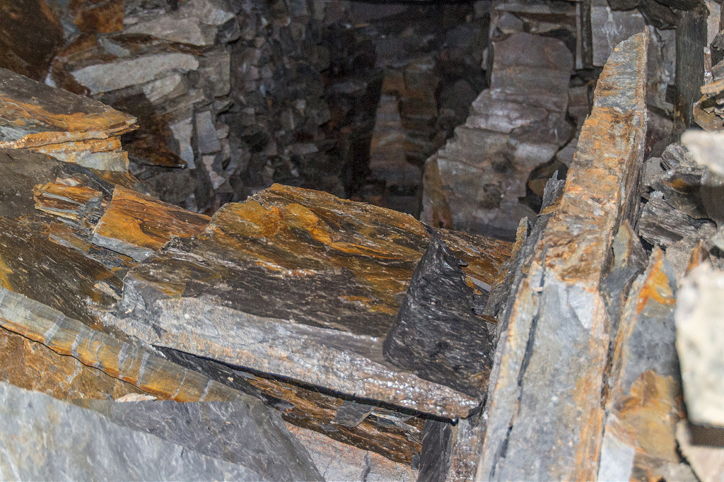
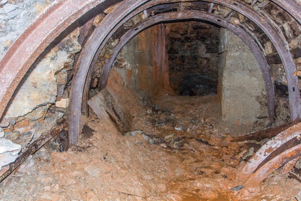
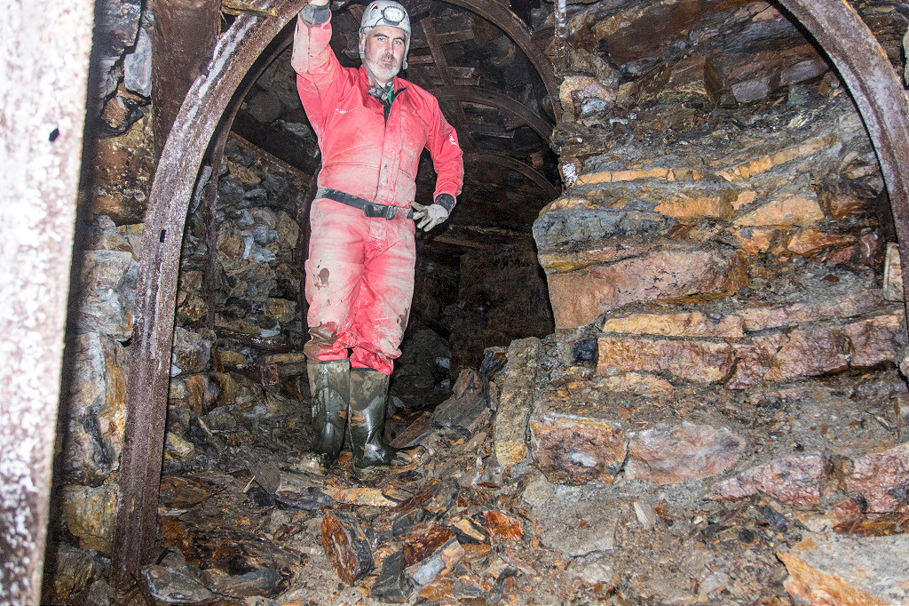
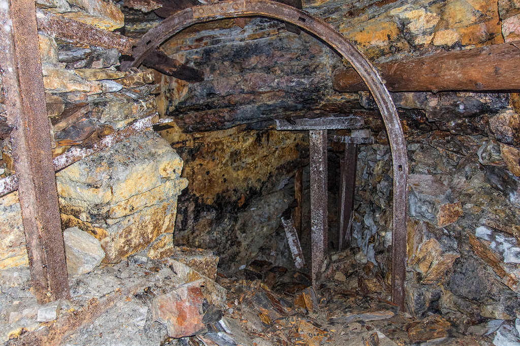
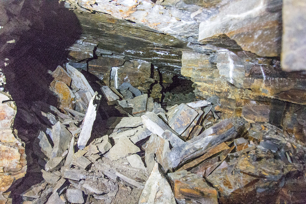
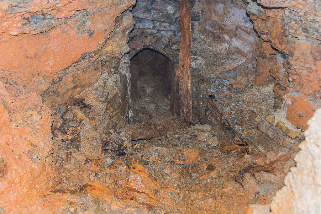
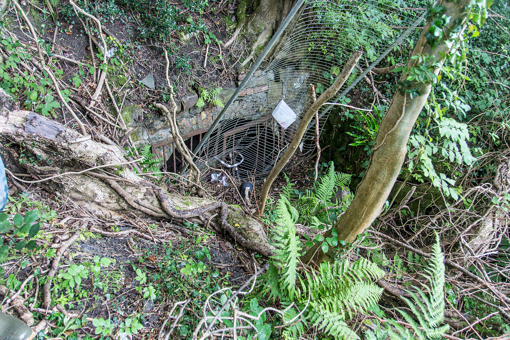
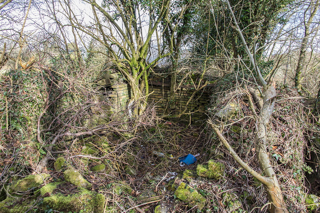
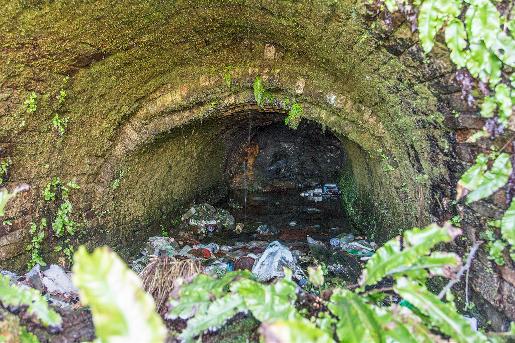
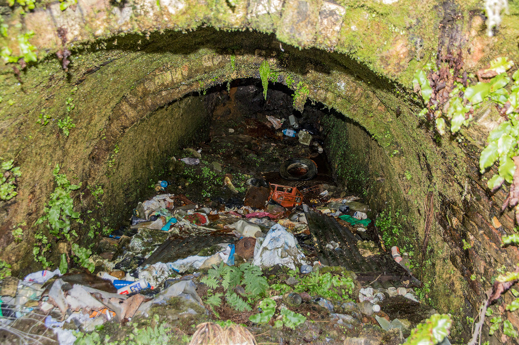
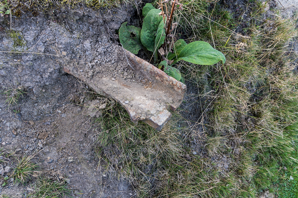
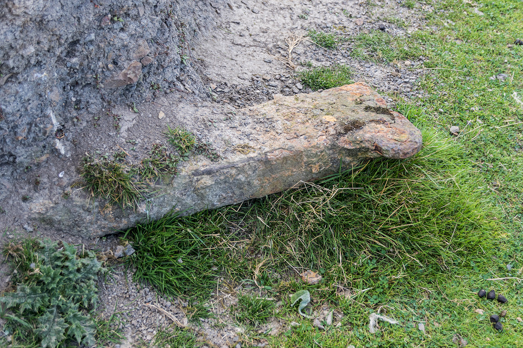
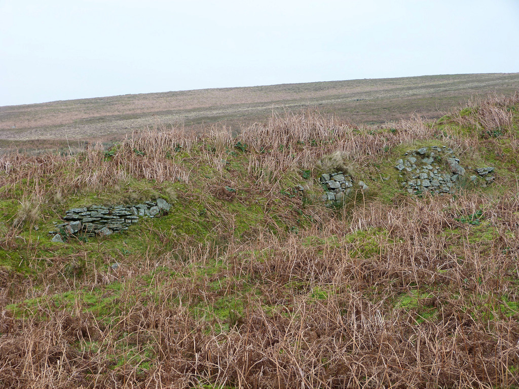
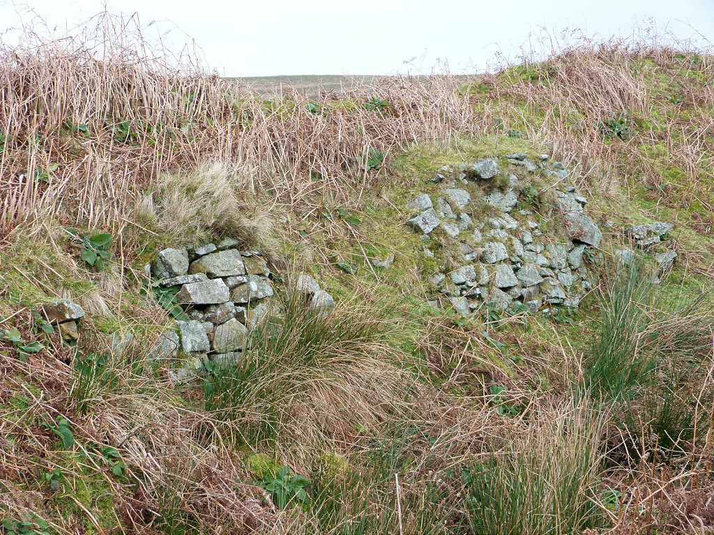
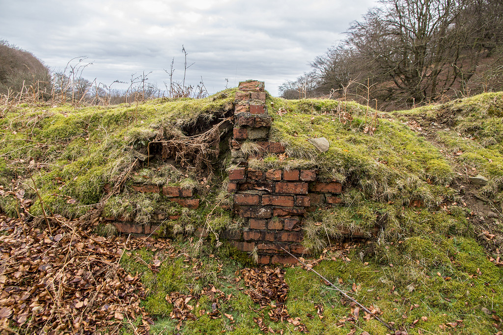
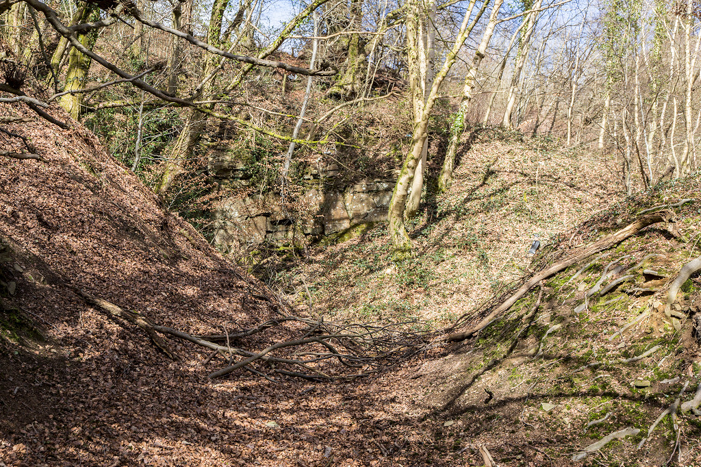
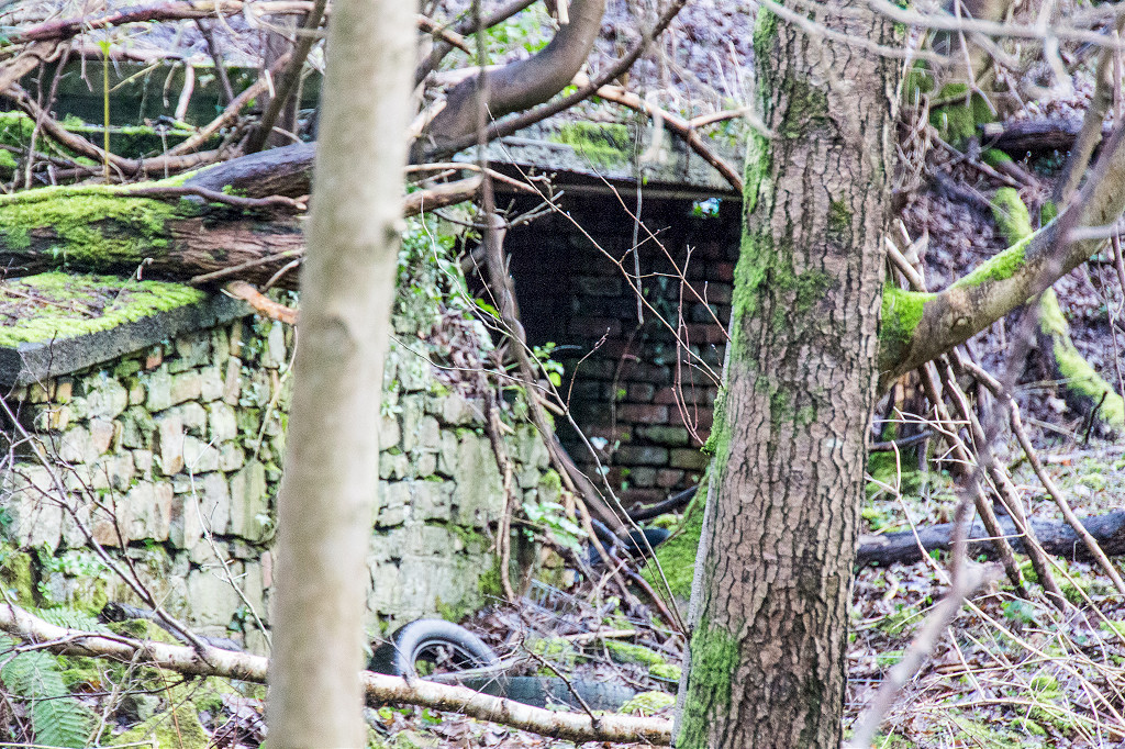
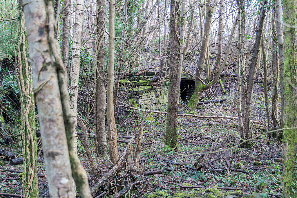
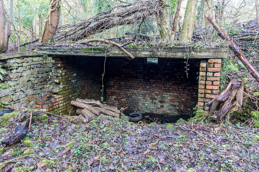
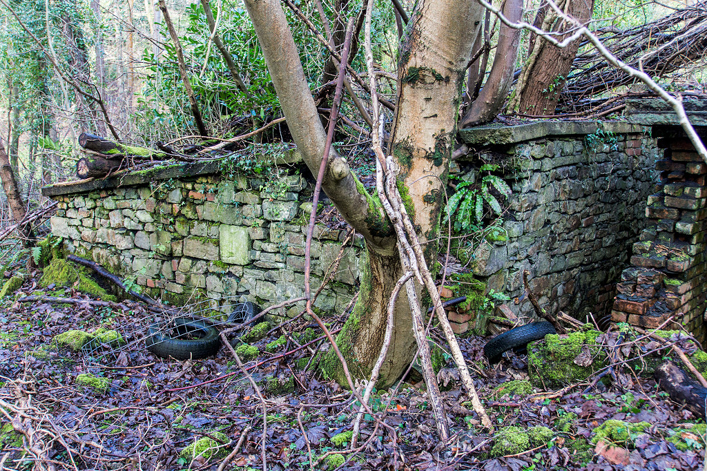
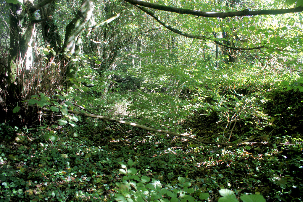
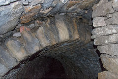
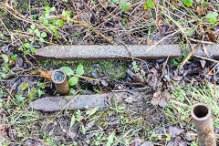
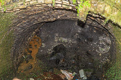
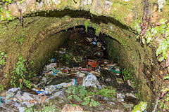
Tunnel to Long Row - ST 2772 9956
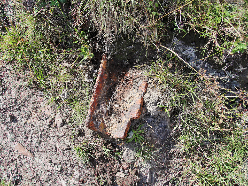
This may be the tunnel described by a visitor from America in 1828 as being on a tramroad to Pontymoile. It doesn't seem to be very deep so maybe a covered route under slagheaps as at Garndyrys Ironworks, Blaenavon. We visited this tunnel in 2017 but in 2021 it appears to have been covered over. However, as consolation, we found a tramplate sticking out of the bank in the same area.
Tunnel at Upper Race
|
Tunnel at Upper Race
|
Tunnel at Upper Race
|
Tunnel at Upper Race
|
Tunnel at Upper Race
|
Tunnel at Upper Race
|

Tunnel at Upper Race
|
Tunnel at Upper Race
|

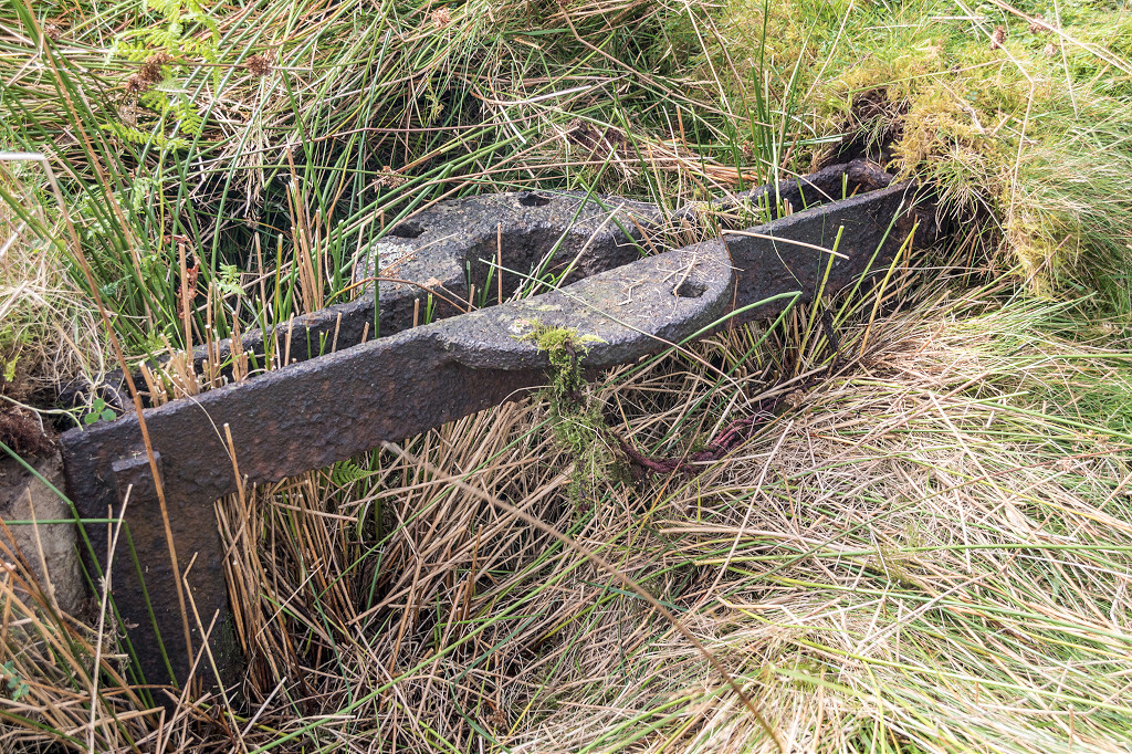
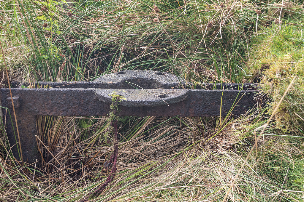
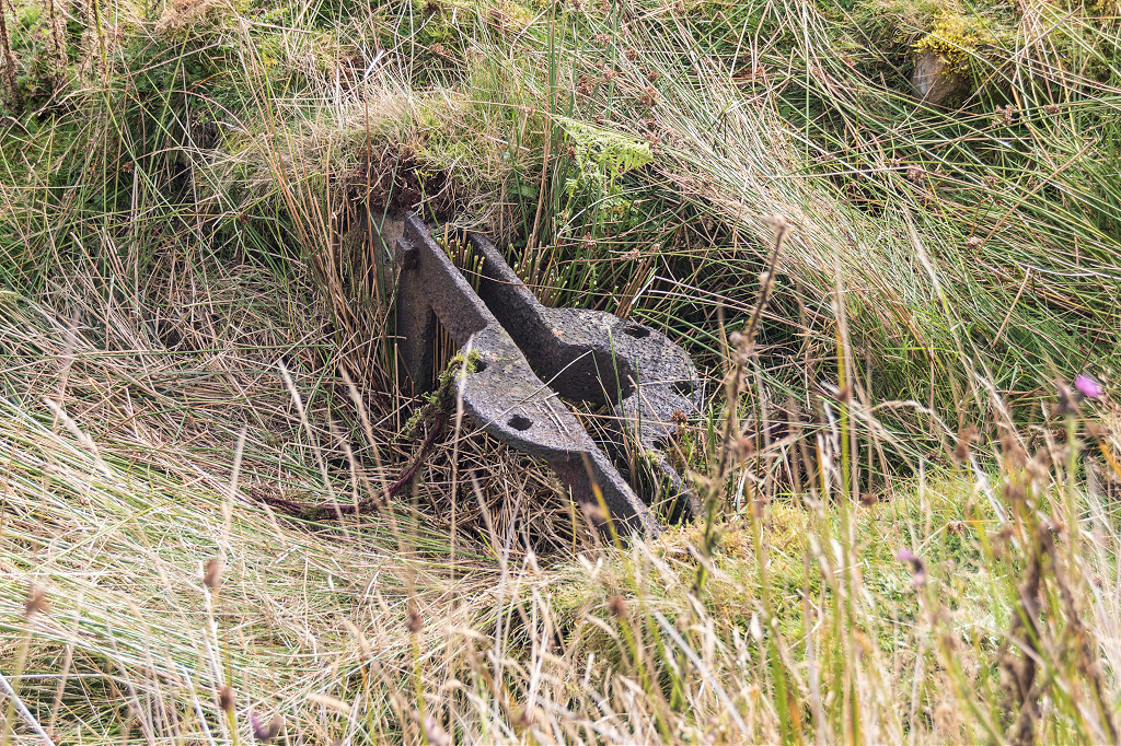
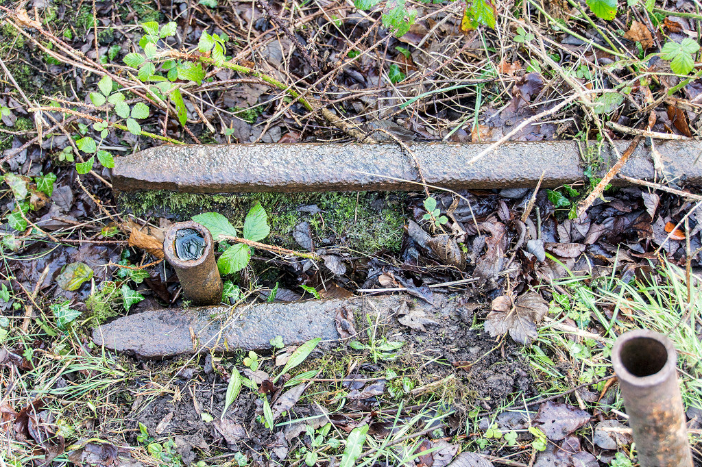
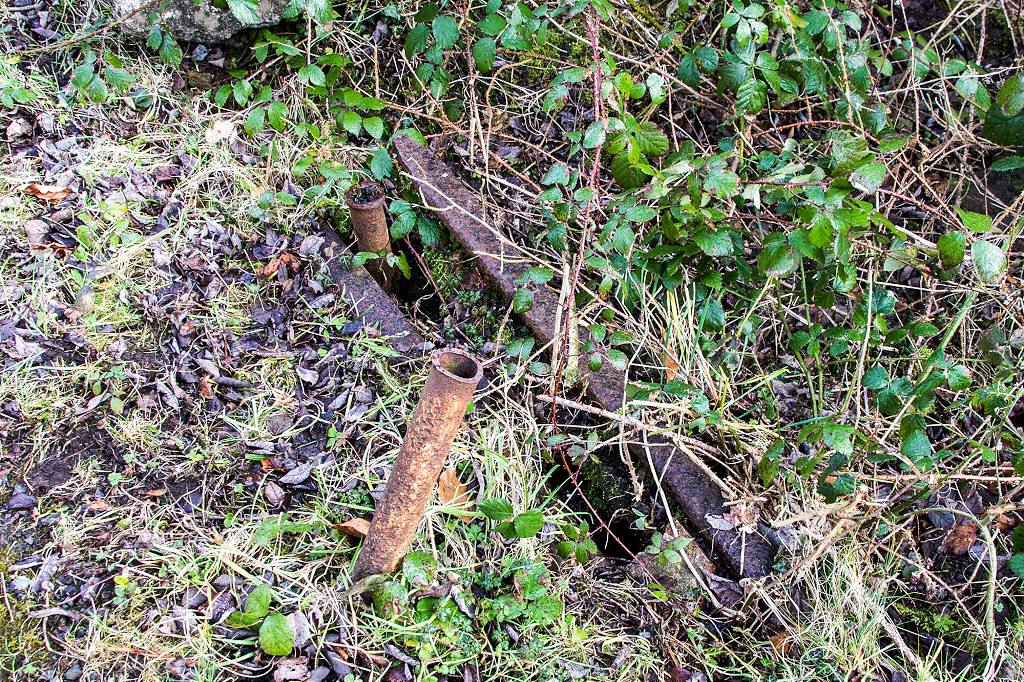
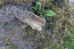
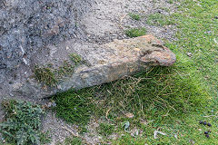
Tramplate at Upper Race
|
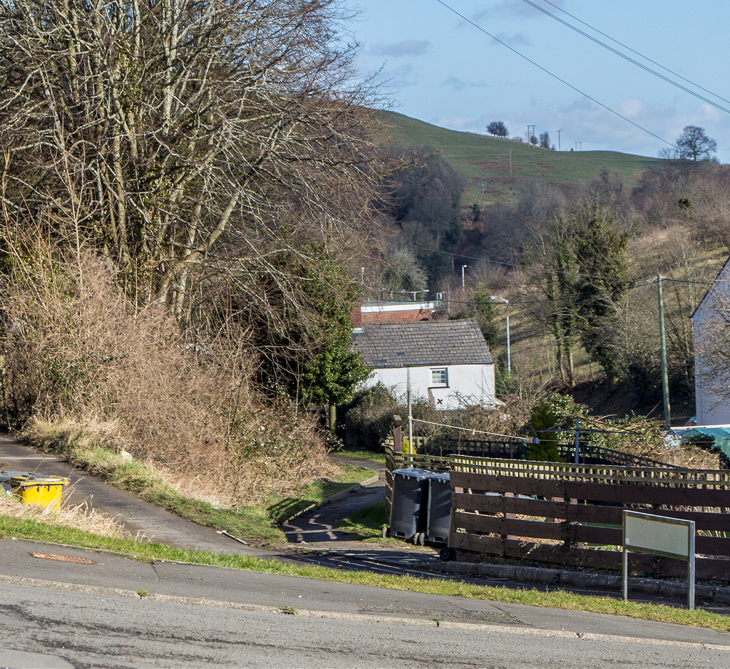
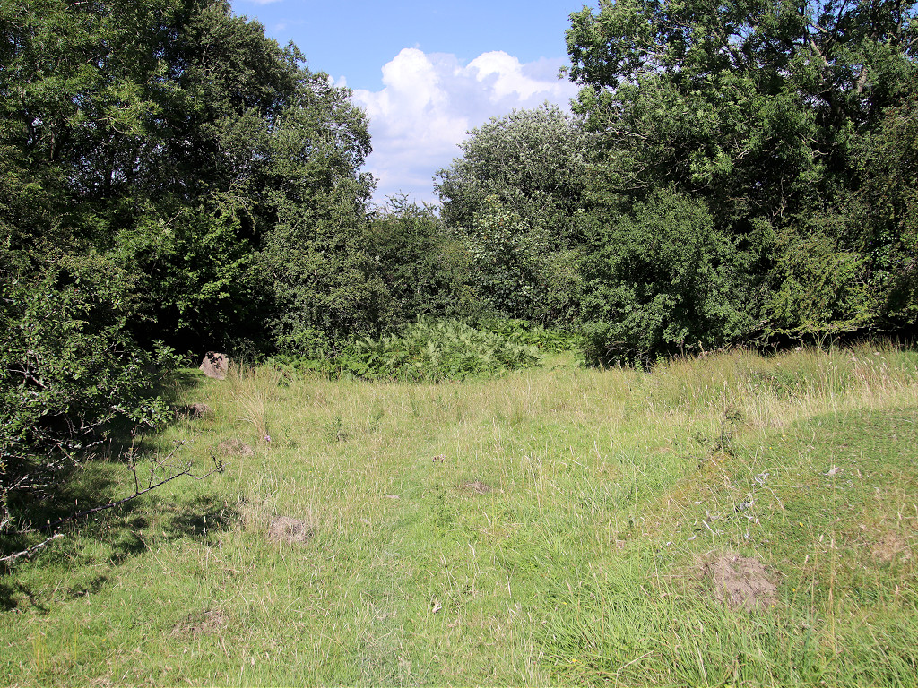
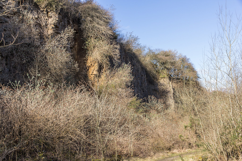
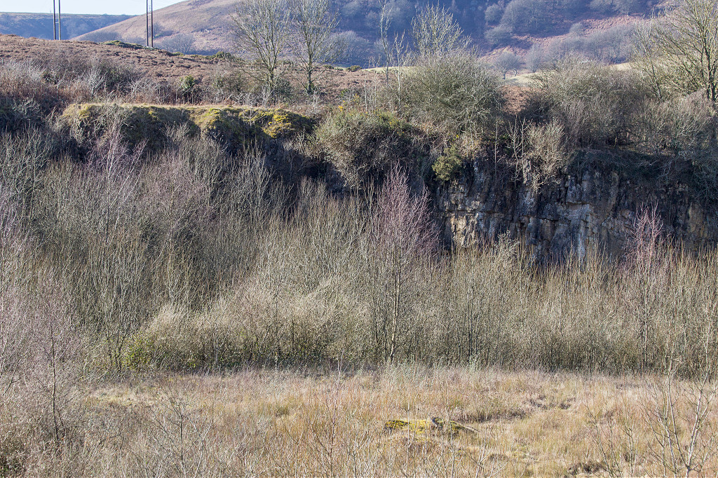
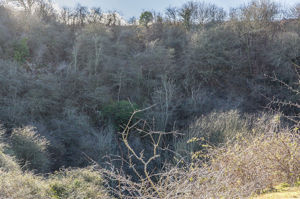
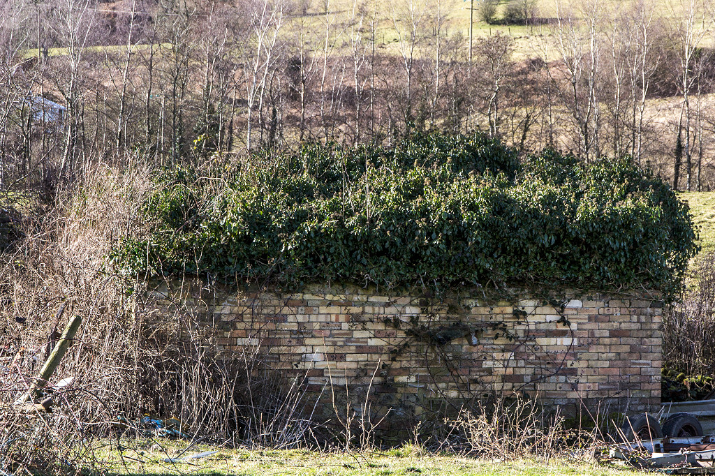
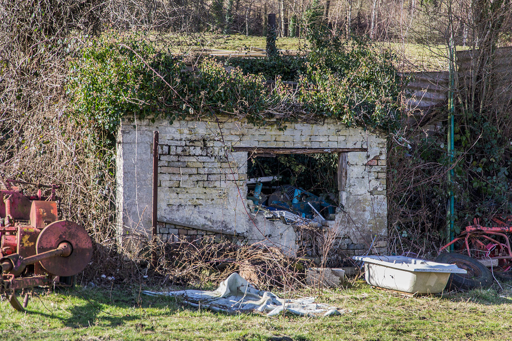
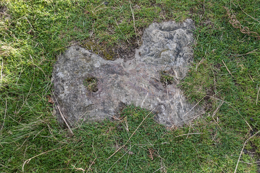
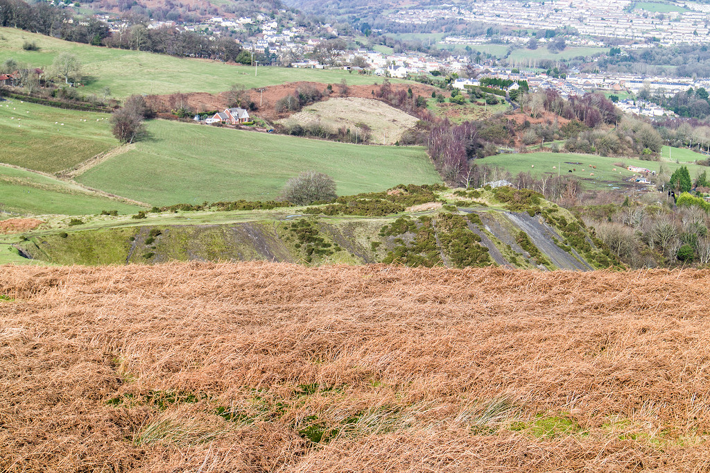
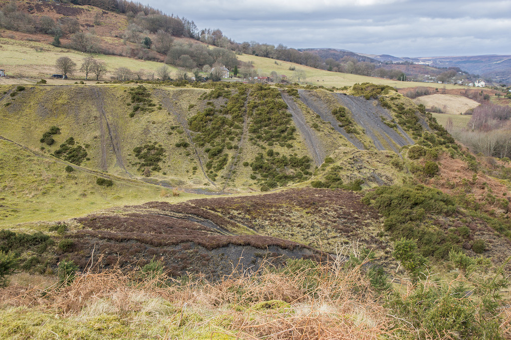
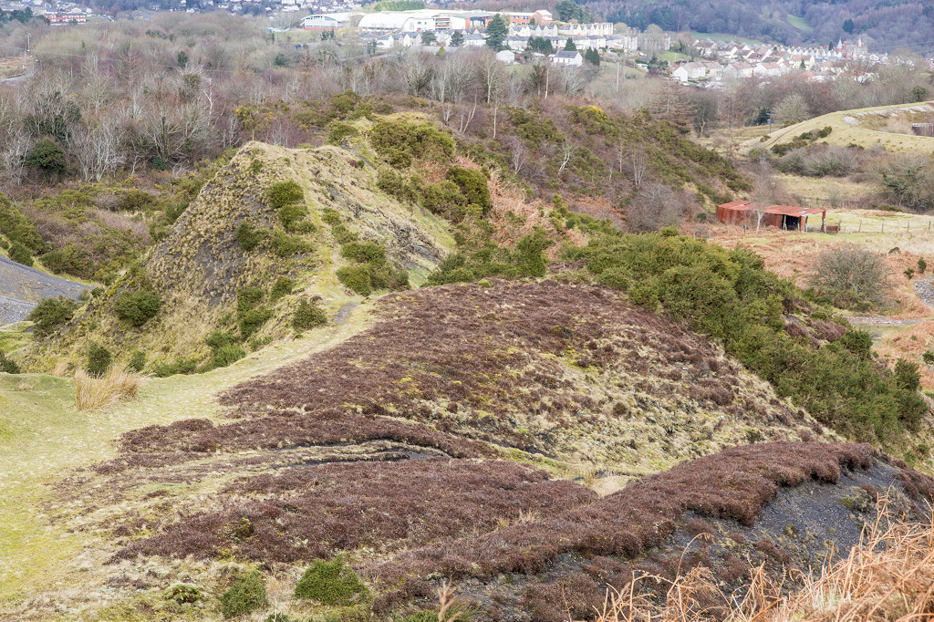
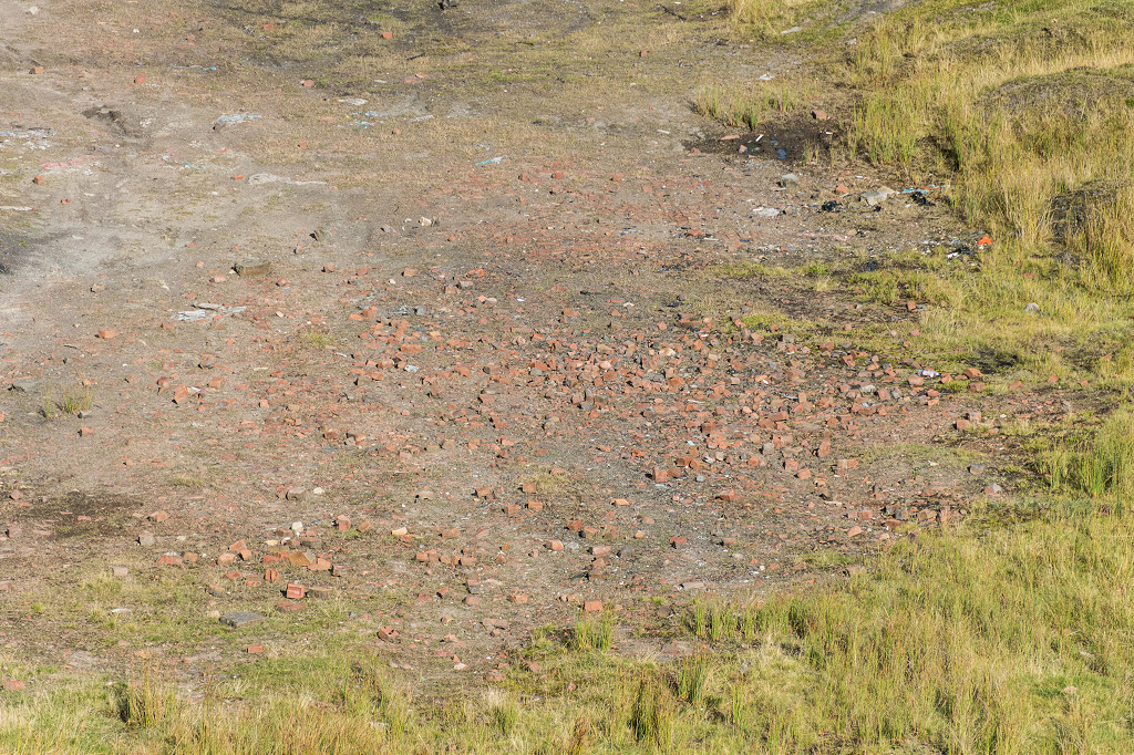
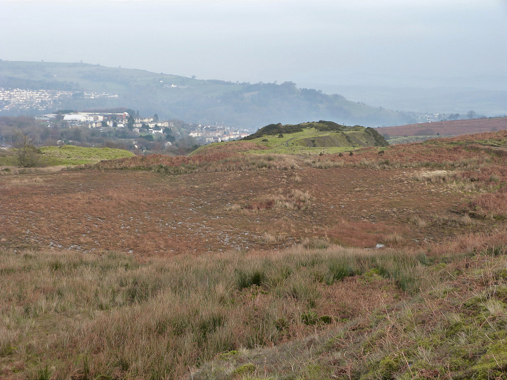
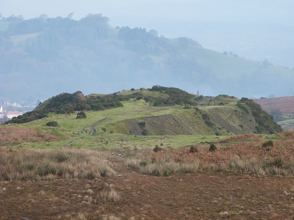
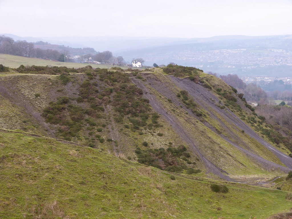
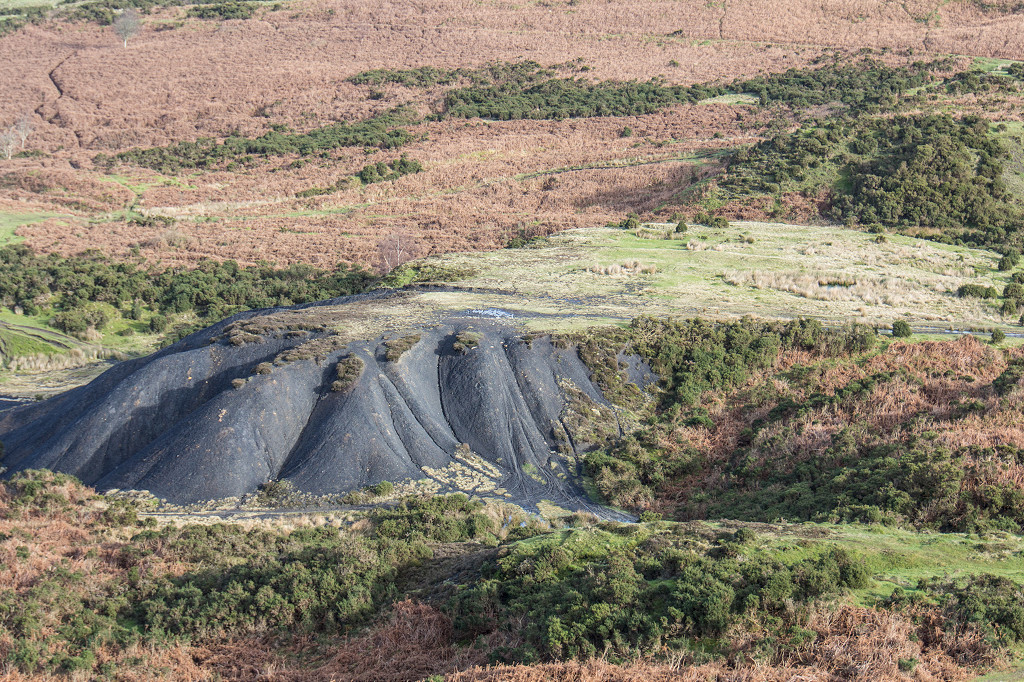
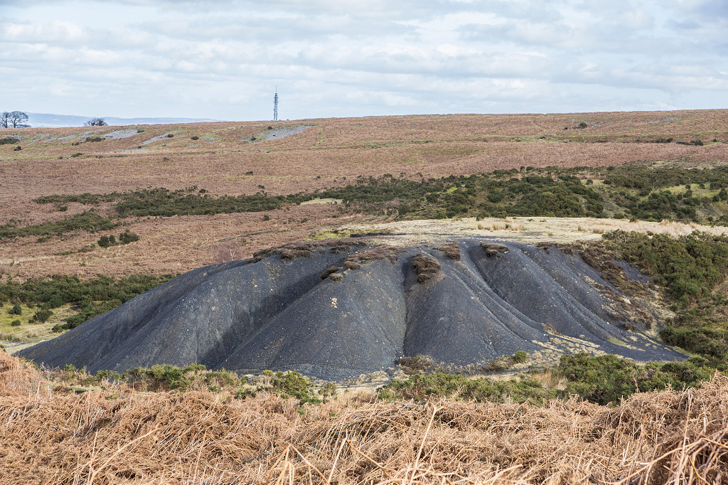
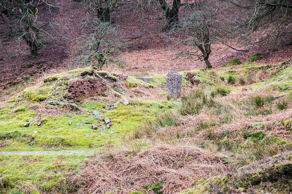
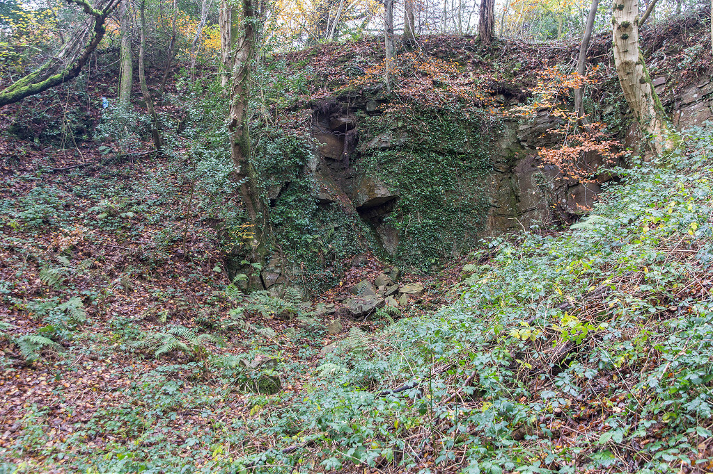
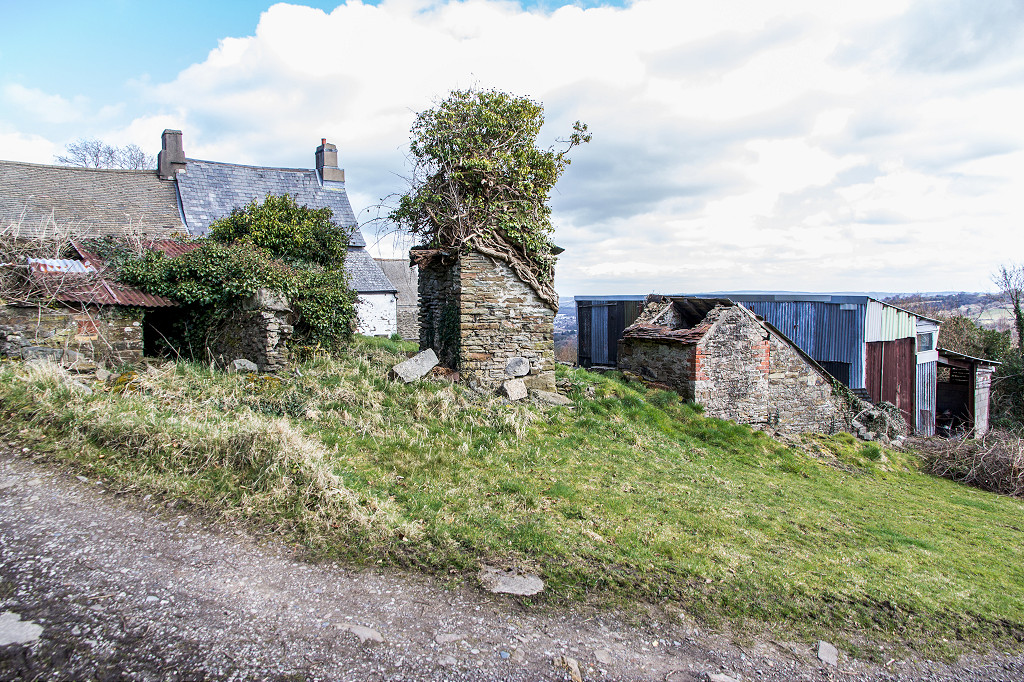
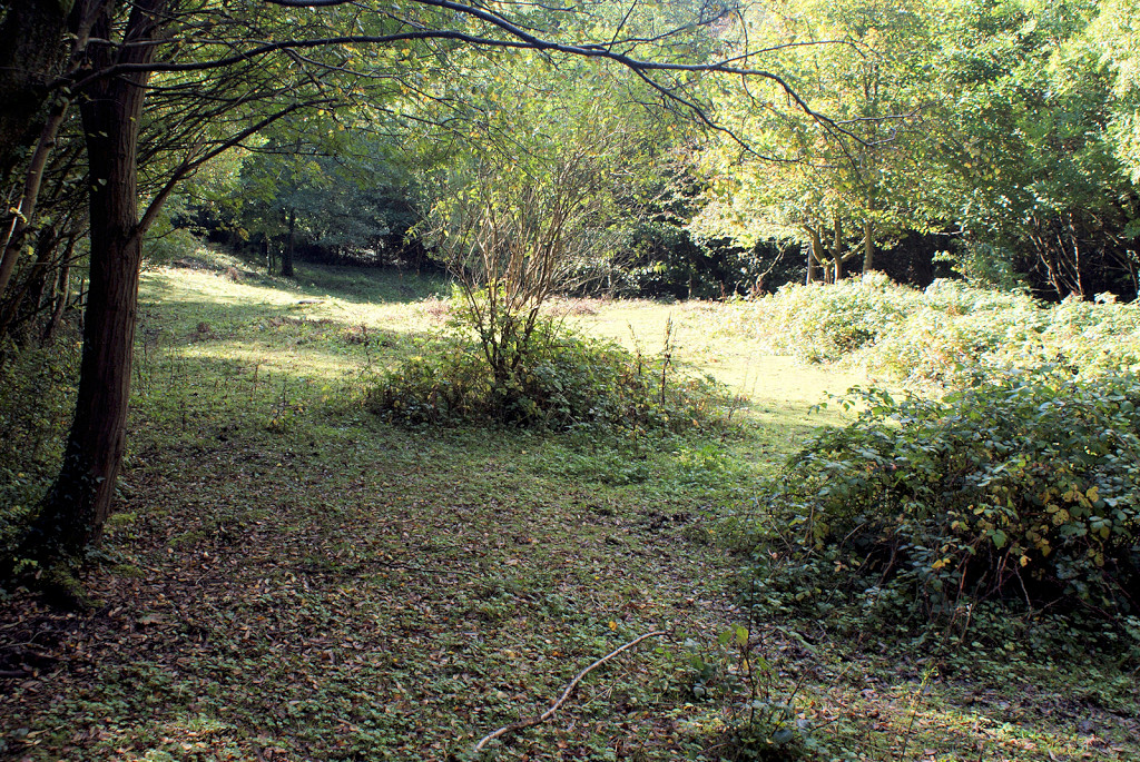
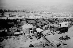
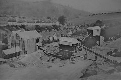
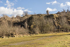
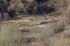
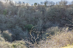
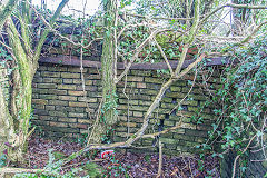
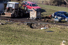
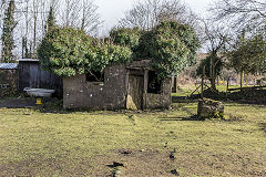
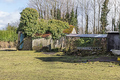
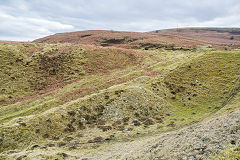
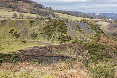
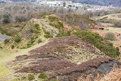
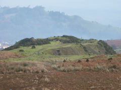
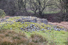
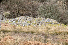
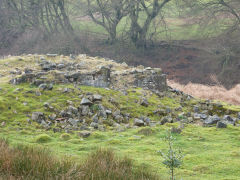
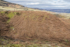
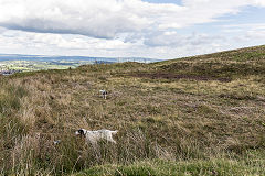
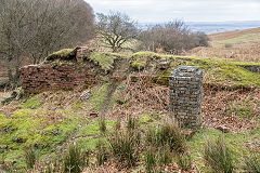
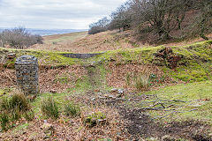
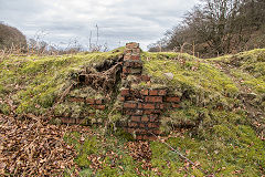
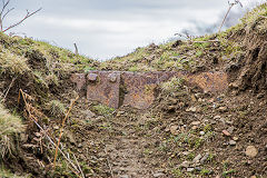
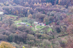
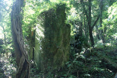
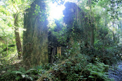
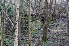
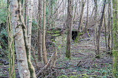
Cwmynyscoy Quarries - ST 282996
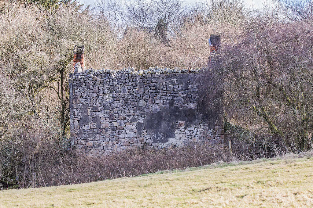
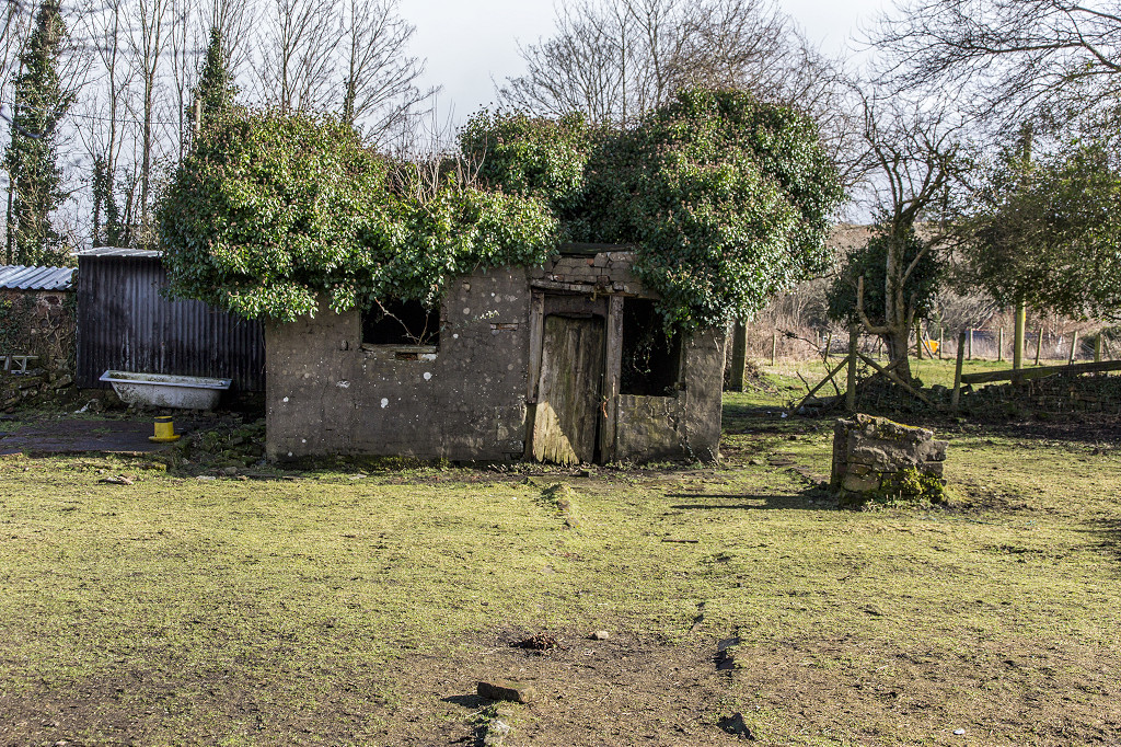
Quarrying first began c1826 and the lower quarry continued to be worked until c1976. The upper quarry, Cwm Quarry also known as Tamplins Quarry, is shown as disused from 1900. It was connected to the lower quarries and the tramroad by a tunnel. The foundations of the 'Lion' pub, known locally as the 'Lions Den', an ancient beerhouse opened before 1845, are at ST 2838 9928, next to the ruins of Ashtree Cottages, built before 1881. The exit of the mine tunnel from Porthmawr, Upper Cwmbran, is reputedly in the quarry, as used by the ladies for shopping trips to Pontypool.

Cwmynyscoy quarry, c1970
|
Cwmynyscoy quarry,
|
Cwmynyscoy quarry,
|
Cwmynyscoy quarry,
|
Cwmynyscoy lower quarry
|

Cwmynyscoy lower quarry
|

Cwmynyscoy lower quarry
|
Cwmynyscoy lower quarry
|

Cwmynyscoy lower quarry
|
Cwm or Tamplins quarry
|
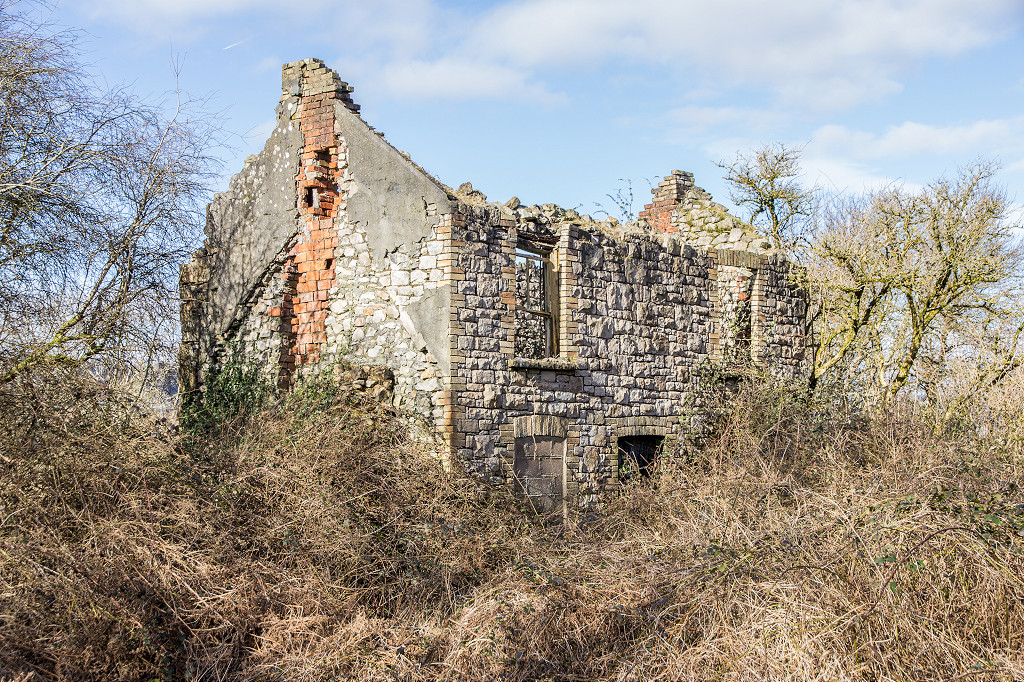
Ashtree Cottages, Penyrheol
|
Ashtree Cottages, Penyrheol
|
The 'Lions Den' beerhouse
|
Quarry below New Farm
|
|
|
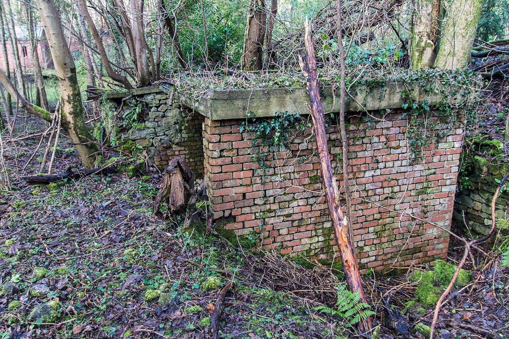
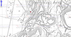
Upper Race and Blaendare
Railway line from Hafodyrynys
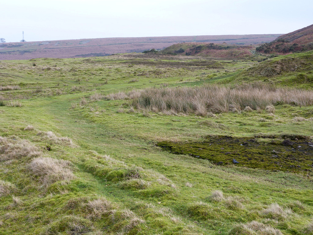
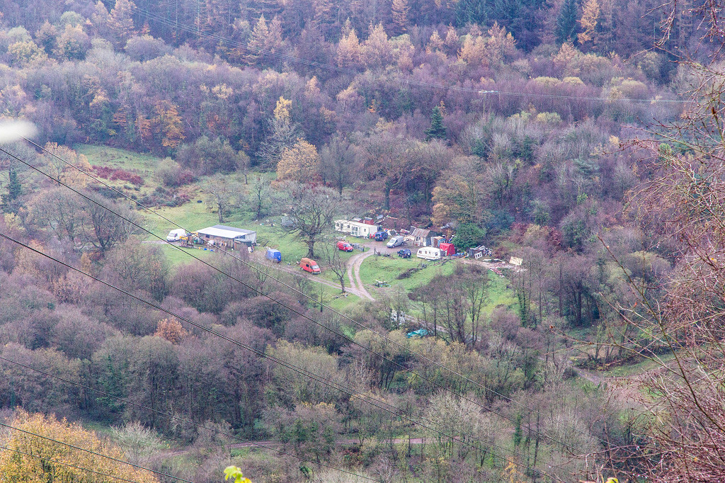
The Blaendare branch either zig-zagged its way up from Old Furnace or took a longer and easier route from Hafodyrynys. It served the ironworks, brickworks, collieries and levelsen route, ending up at the foot of the incline to Cwm lickey. Most of the route to Hafodyrynys is walkable if rather wet in places but the zig-zag has gone under the reclamation works.
Trackbed to Hafodyrynys
|
Trackbed to Hafodyrynys
|

Trackbed to Hafodyrynys
|
Trackbed to Hafodyrynys
|
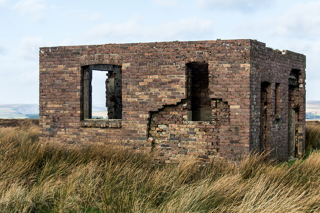
Building on Blaendare branchline
|
Building on Blaendare branchline
|

Building on Blaendare branchline
|
Building on Blaendare branchline
|
Rails at the foot of the incline
|
Rails at end of line
|
Concrete block at end of line
|
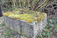
Stone sleeper on the incline
|
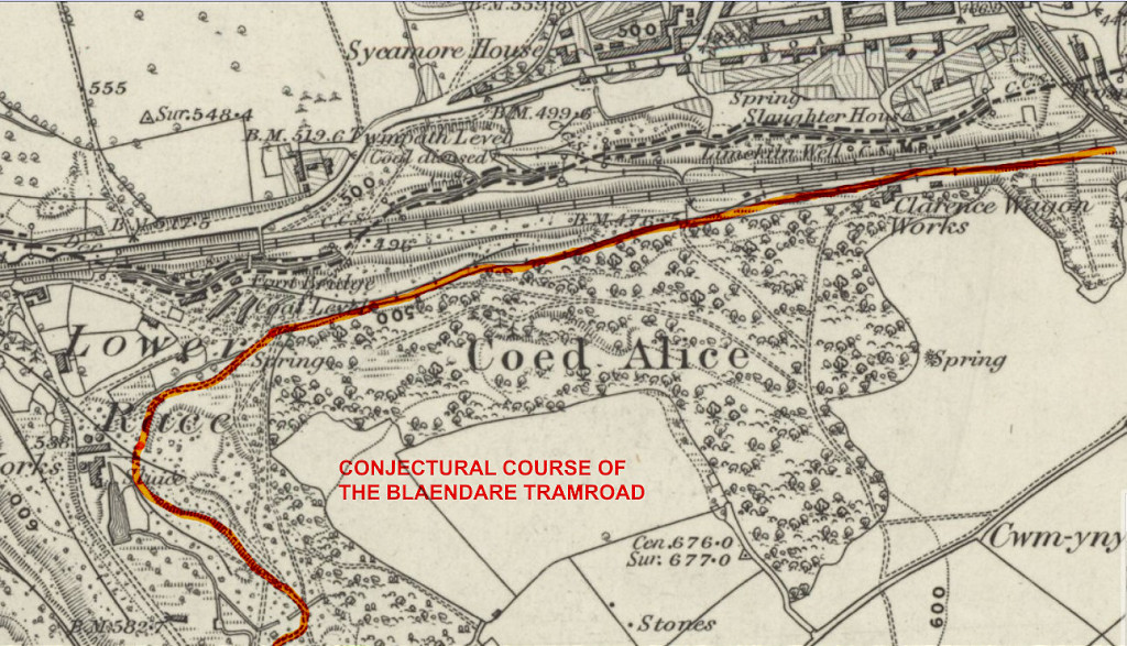
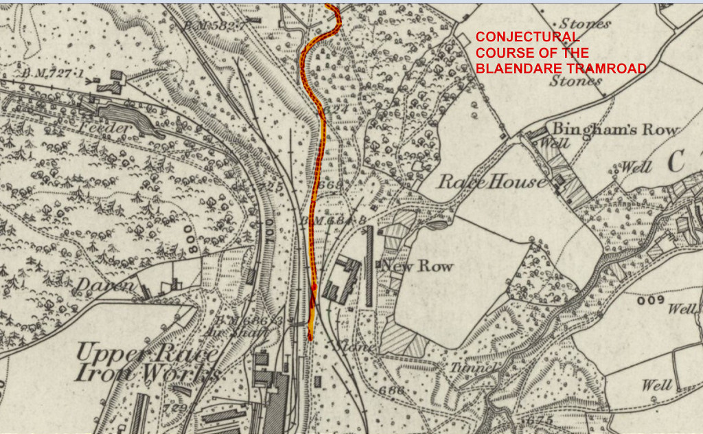
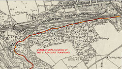
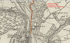
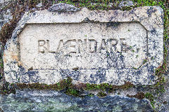
Blaendare Tramroad
The Blaendare Tramroad ran from the ironworks to the Pontnewynydd branch of the Monmouthshire Canal (MCC) in Pontypool possibly connecting with the Trosnant Tramroad.
It was built to 3'4" gauge in c1796 and engineered by Thomas Dadford of the MCC. A letter from John Barneby to Sir Charles Morgan. dated 22 Nov 1801, seeks permission to run the tramroad through a corner of Coed Alice from Blaendare to connect with the MCC's tramroad at Pontypool. Unfortunately the 1845 Tithe maps don't help to locate the route but the 1881 OS map does show a 'Tramroad-like' route. This purely conjectural though. The Blaendare Tramroad is not to be confused with the Cwmynyscoy Tramroad (qv).
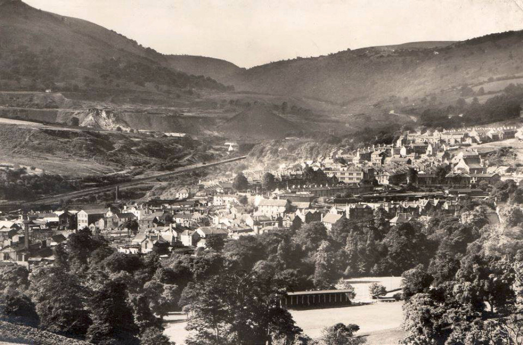
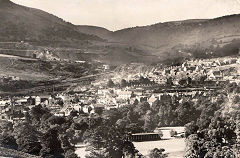
Pontypool, 1836
|
The Blaendare Tramroad
|
The Blaendare Tramroad
|
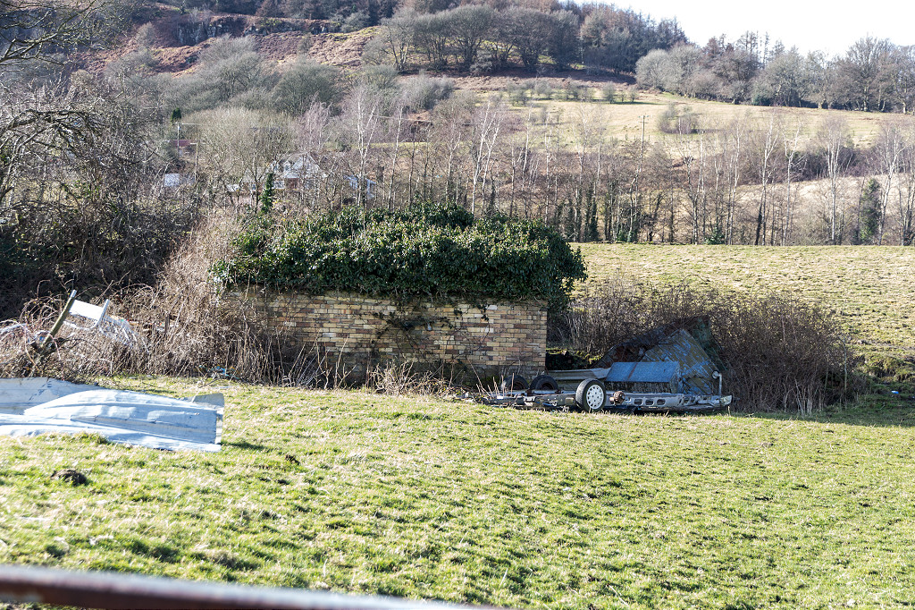
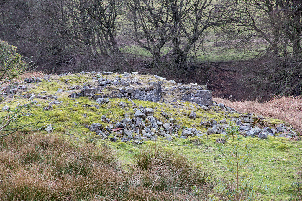
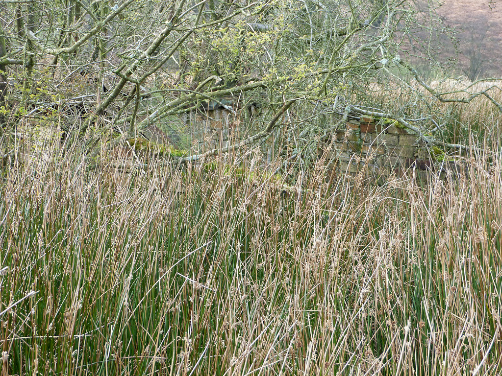
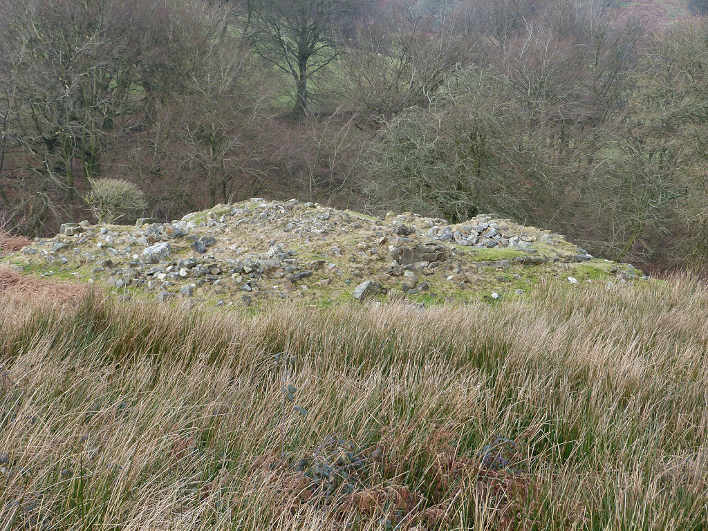
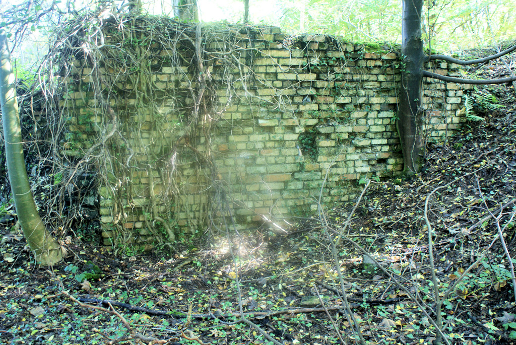
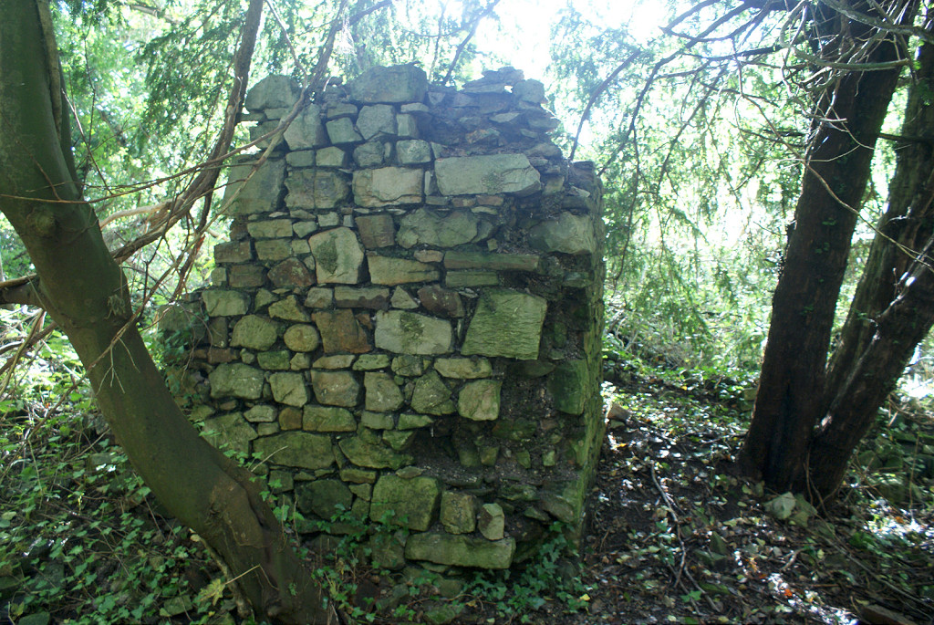
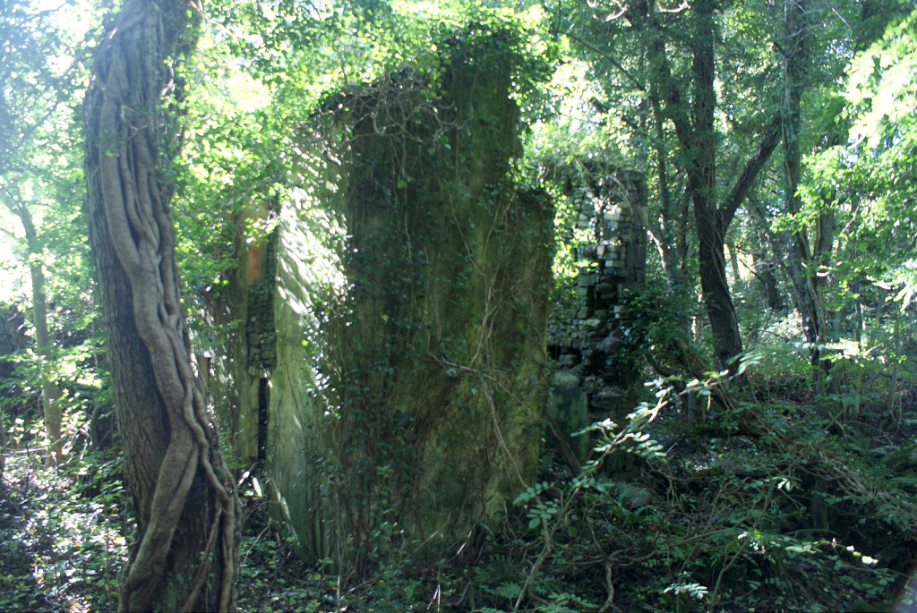
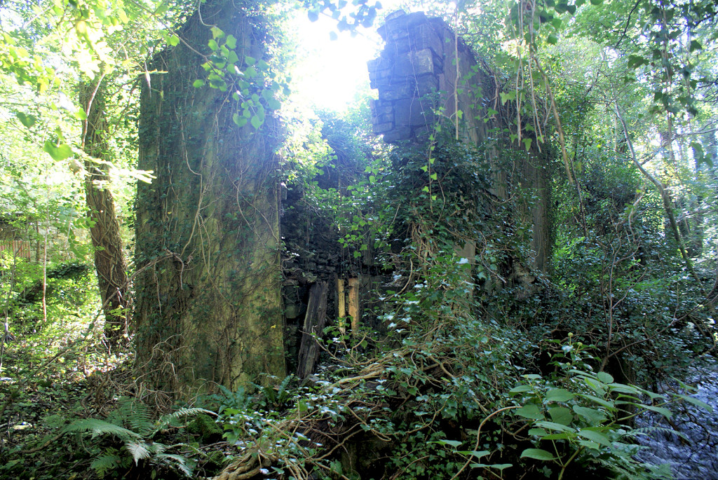
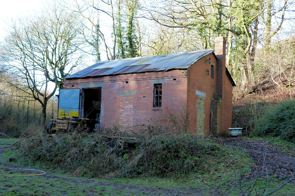
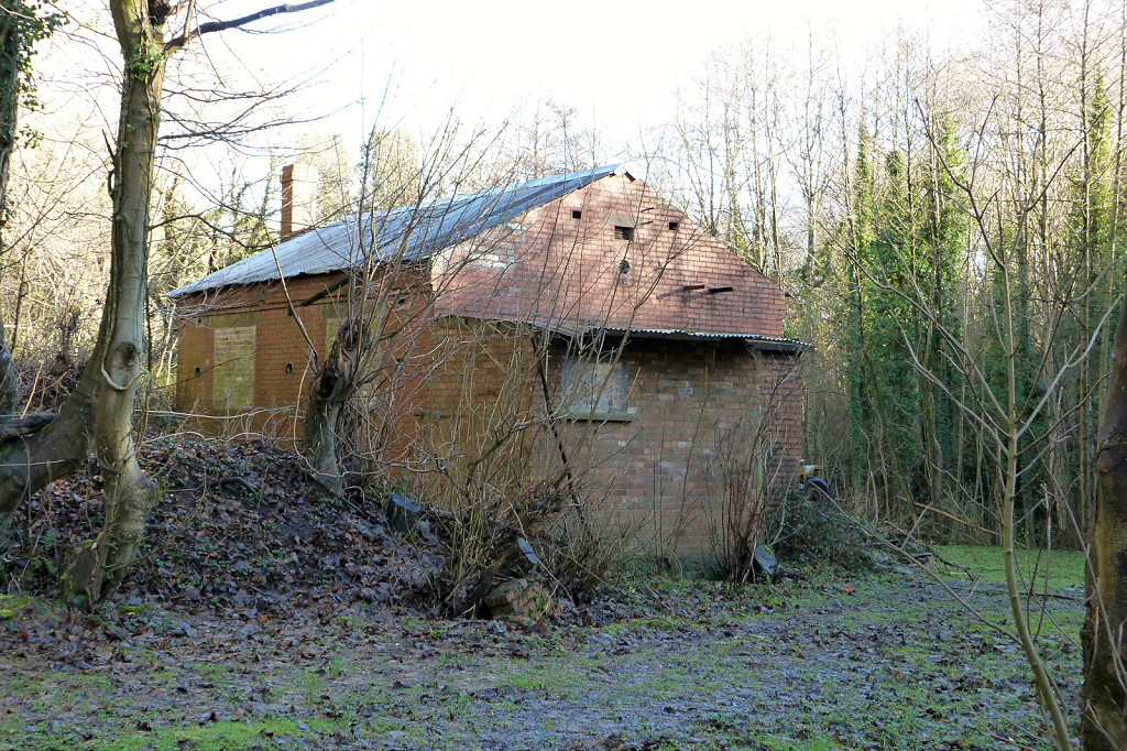
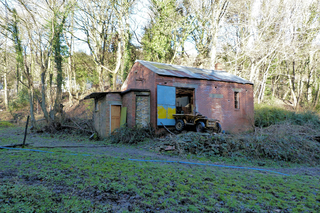
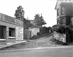
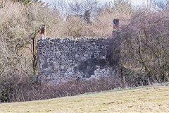
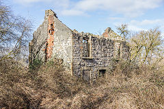
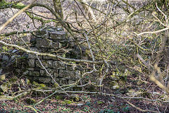
Blaendare Ironworks, Upper Race - ST 2745 9950
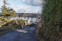
The Blaendare Ironworks and brickworks, Upper Race, was in operation by 1794 becoming part of the Ebbw Vale Iron Co empire in 1864. It appears to have closed C1890 with the brickworks carrying on as a separate company. The row of cottages, 'Five Houses', date from before 1881 and can be used as a reference point when looking at old maps of the area. The 3'4" gauge Blaendare Tramroad connected the ironworks to the MCC Tramroad at Pontypool in the same area as the Trosnant Tramroad.
Blaendare Ironworks
|

Blaendare Ironworks site
|
Blaendare Ironworks site
|
Blaendare Ironworks site
|
Blaendare Ironworks site
|
Blaendare Ironworks site
|
Five Houses
|
Five Houses
|
Building above 'Five Houses'
|
Building above 'Five Houses'
|
Stonework on Mount Pleasant lane
|
|
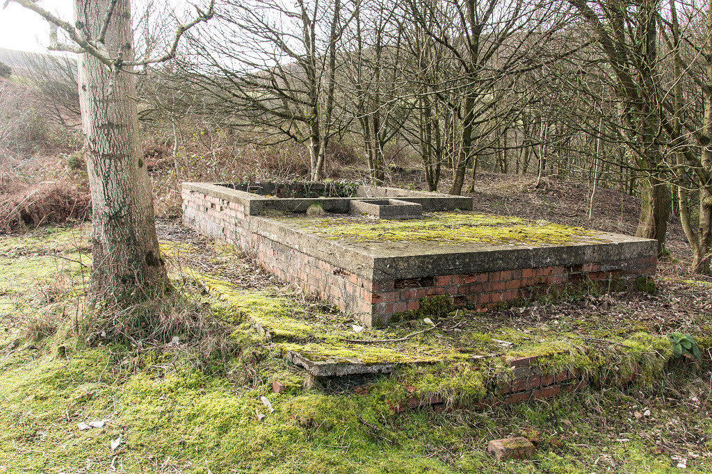
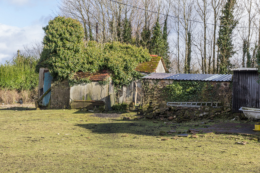
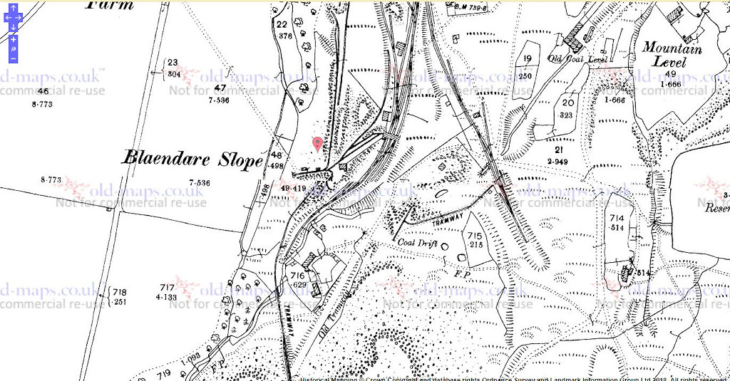
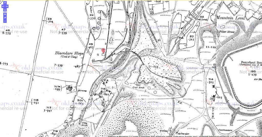
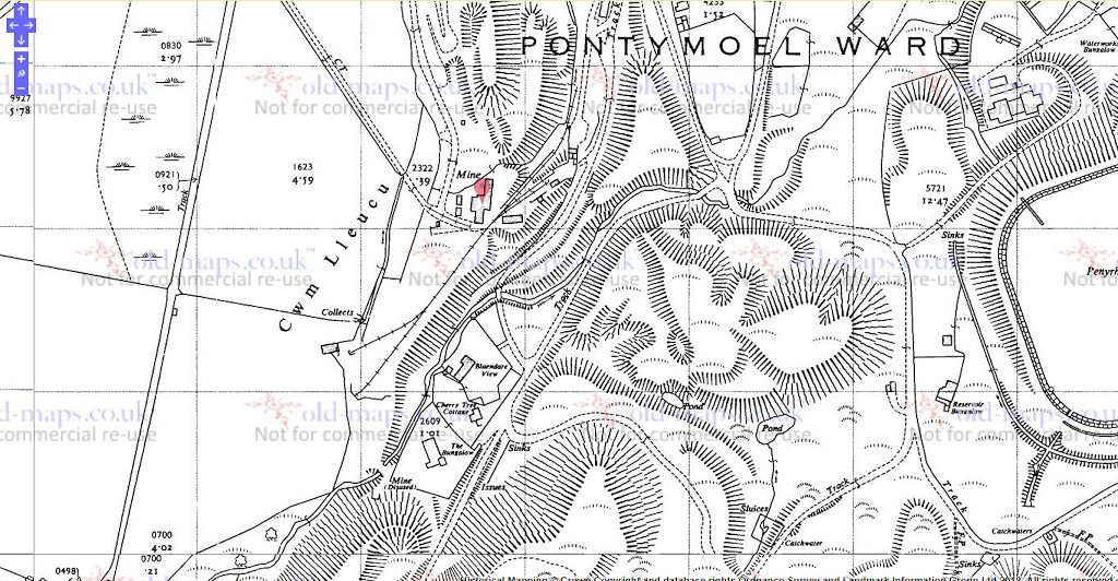
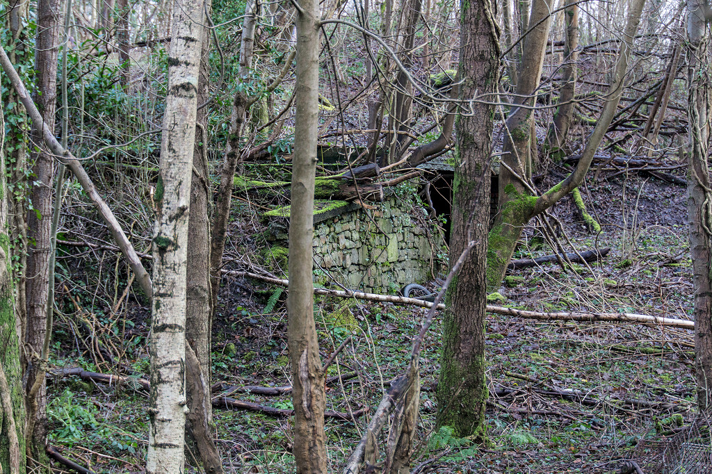
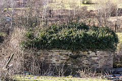
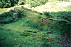
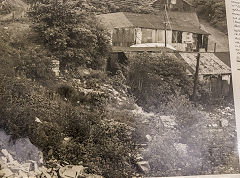
Blaendare Level - ST 2727 9921
Blaendare Level is a later working of Blaendare Slope. The Slope seems to have opened around 1896 though there was a Blaendare Level in 1836 and it's history is muddled up with Quarry Level. It became part of the NCB and closed in 1949. However it re-opened under GKN Ltd in the 1950s mainly for fireclay, finally closing completely around 1979. The site has been landscaped and it's hard to imagine it now.
Blaendare level in 1901
|
Blaendare level in 1920
|
Blaendare level in 1962
|
Blaendare level in the 1970s
|
Blaendare level in the 1970s
|
Blaendare level in the 1970s
|

Blaendare level in the 1970s
|

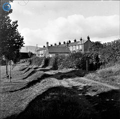
Long Row in the 1970s
|
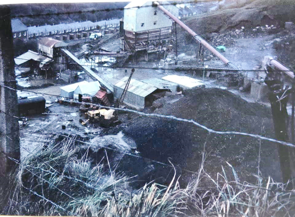
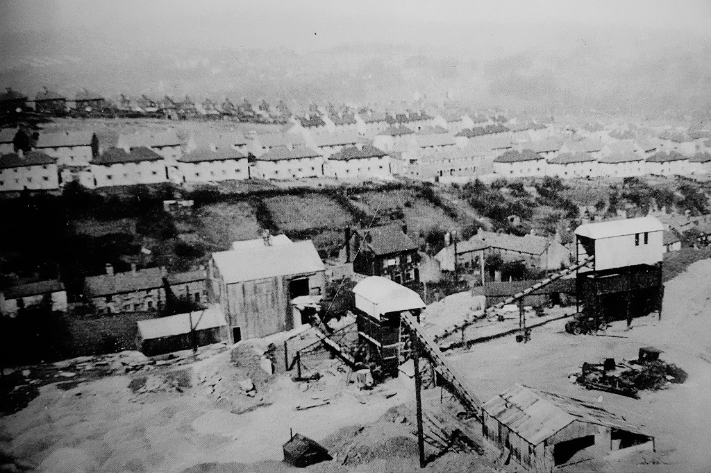
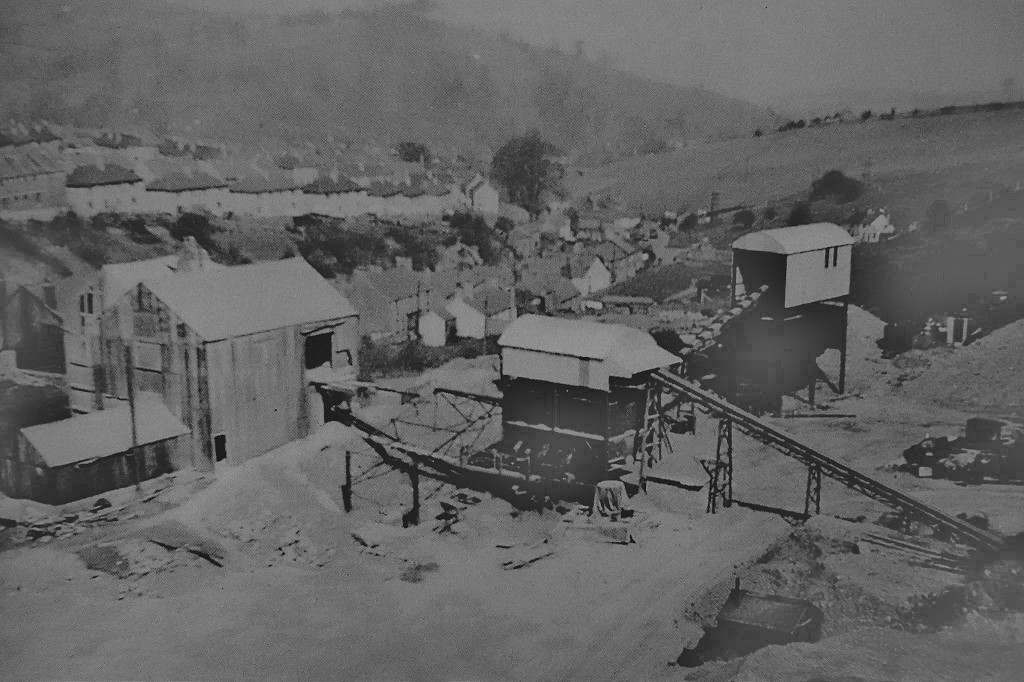
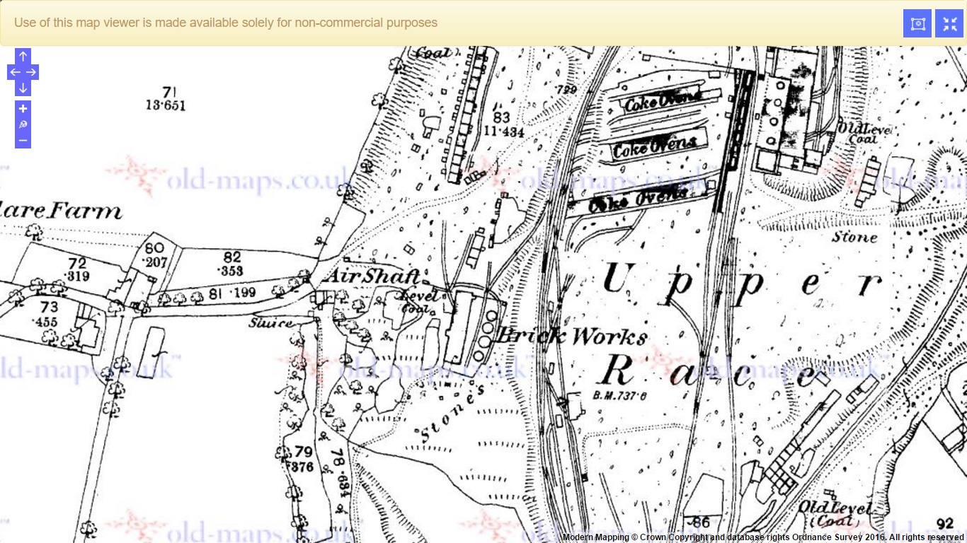
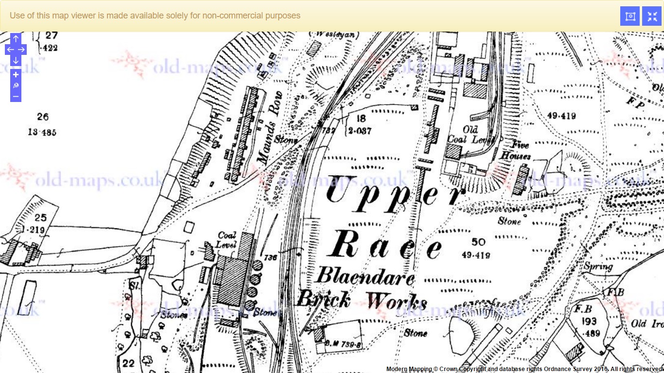
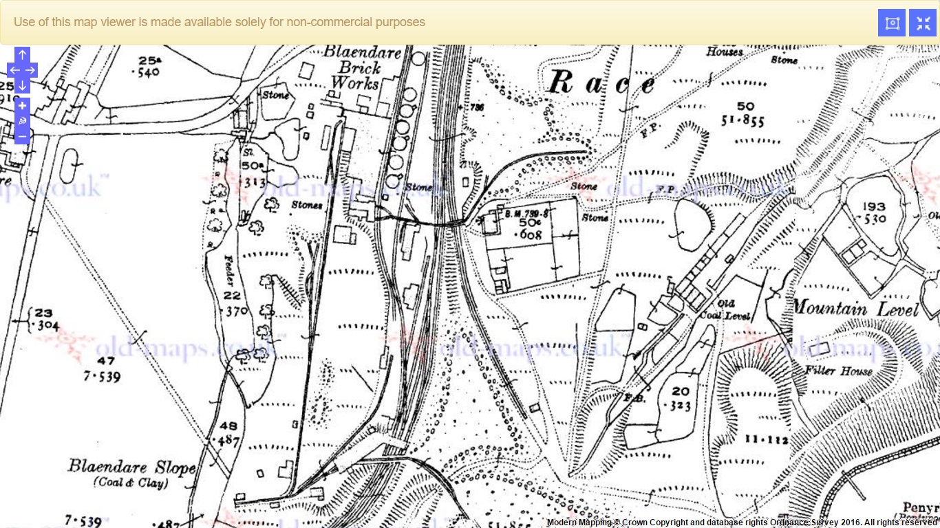
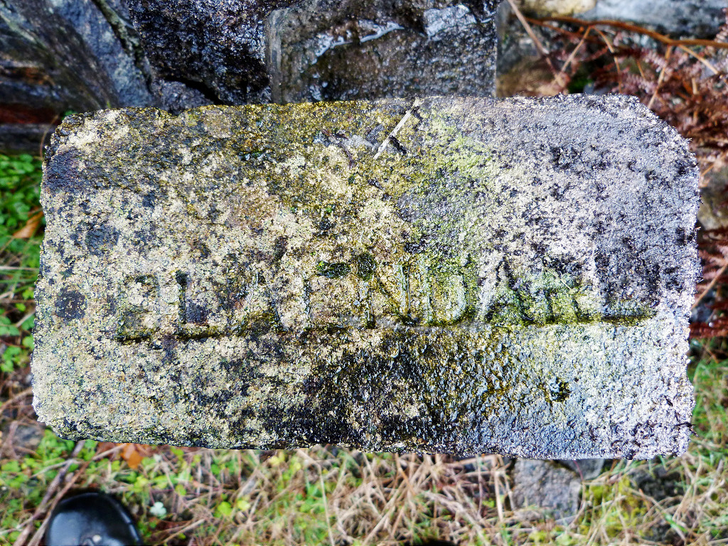
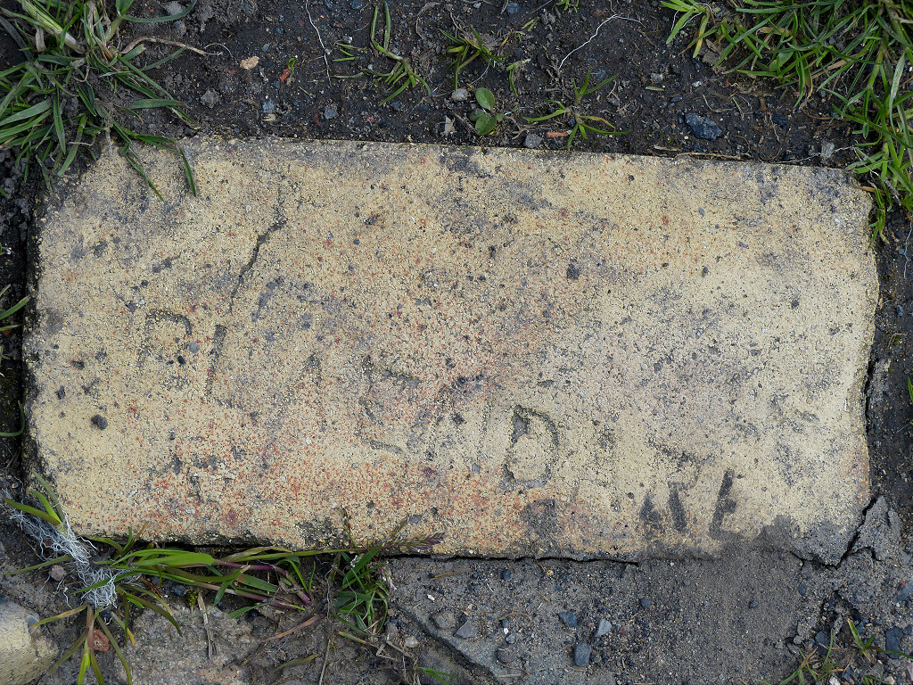
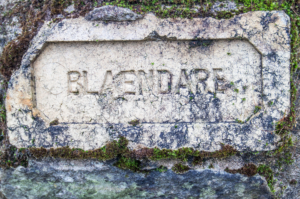
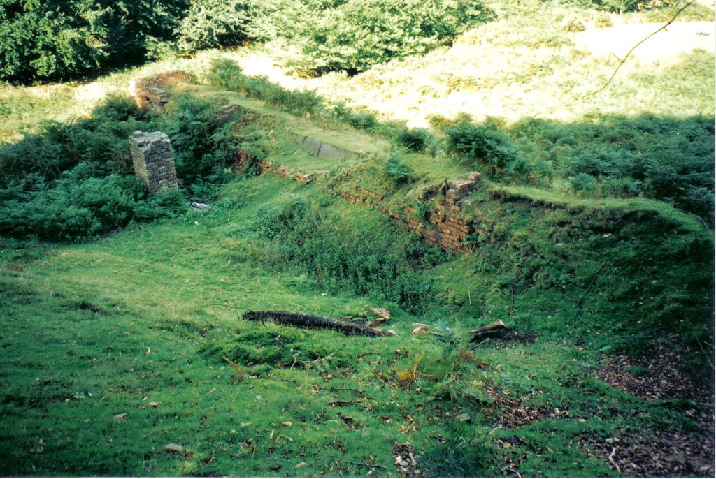
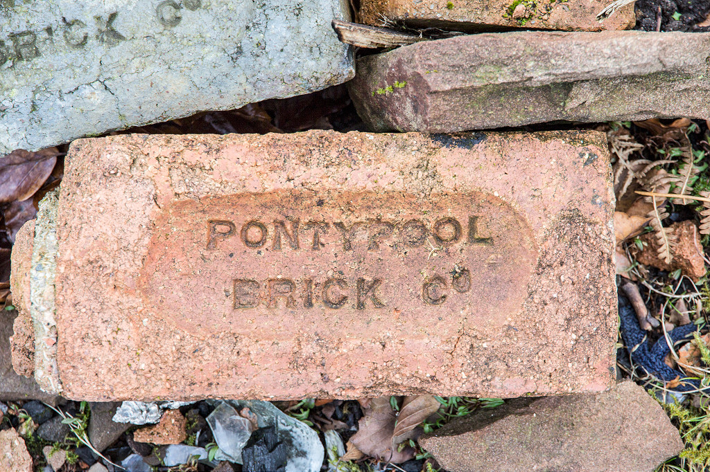
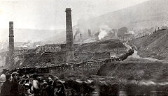
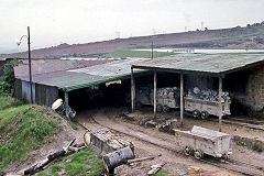
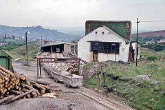
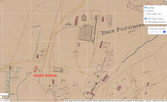
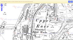
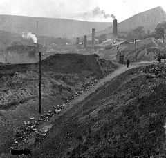
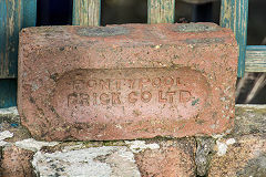
Blaendare Brickworks (Pontypool Brick Co Ltd) - ST 2730 9935
In the first quarter of the 19th century the firm of Robert Farquhar and Company, of Pontypool, acted as coal merchants and owners of a level at Blaendare. The proprietors were Robert Farquhar, Edwin Allies and Andrew Maund (the father of John Maund - see the Boundary Stones page). Maund's share was sold in 1822. The business was also involved in the limekilns at Goytre Wharf on the Brecon & Abergavenny Canal. Robert Farquhar seems to have died in 1832. It appears as if this was the beginnings of the Blaendare brickworks. From c1845 until 1906 it was owned by the Blaendare Co Ltd or Blaendare Colliery Co Ltd when the Pontypool Brick Co Ltd came into being. The works is in trade directories up to 1948, is on OS maps up to 1954 and had disappeared by 1962. Blaendare Farmhouse above the site was built in 1810 using hand-made bricks from Blaendare Brickworks for the Brickworks manager.
Blaendare Brickworks, c1845
|

Blaendare Brickworks, 1880
|
Blaendare Brickworks, 1901
|
Blaendare Brickworks, 1920
|
Blaendare Brickworks
|
Blaendare Brickworks
|
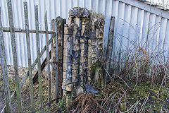
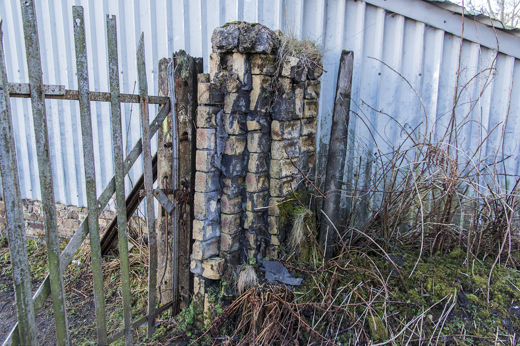
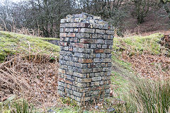
Brickworks gate pillar
|
|
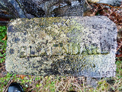
'Blaendare' brick
|
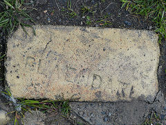
'Blaendare' brick
|
'Blaendare' brick
|
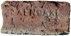
'Blaendare' brick
|
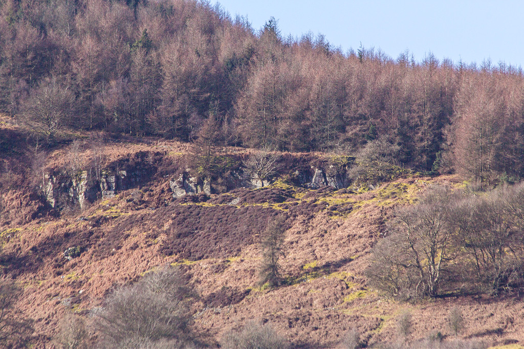
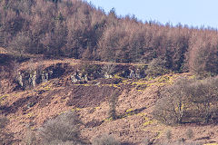
Blaendare Quarry - ST 2690 9935
Blaendare Quarry is shown as disused by 1899. Blaendare Farmhouse below the quarry was built in 1810 using hand-made bricks from Blaendare Brickworks for the Brickworks manager. It was built on the site of the previous farmhouse dating back to 1674.
Blaendare Quarry
|

Blaendare Quarry
|
|
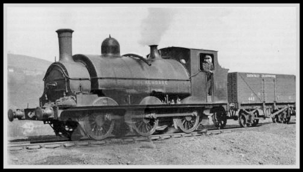
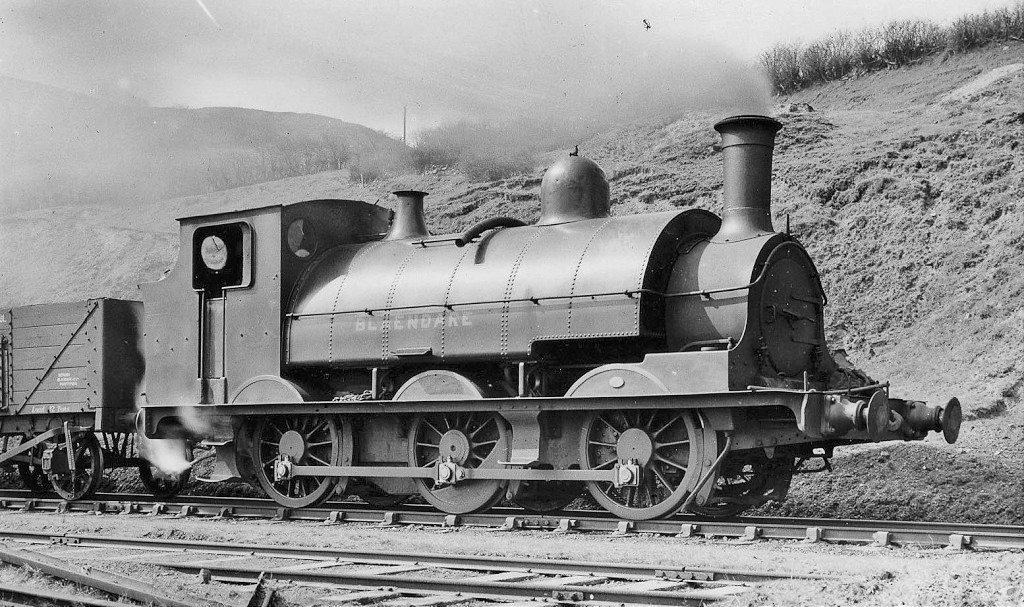
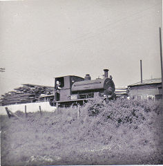
Locomotives named 'Blaendare'
There were at least three locos called 'Blaendare', only one of which is likely to have worked at Blaendare. This was a Kitson 0-6-0ST that came to Blaendare from the GWR in 1930. Originally it was TVR '80', GWR '789' and moved on to Blaenavon in 1947. The other two 'Blaendare's worked at Ebbw Vale Ironworks, the first probably being a rebuild of an 1855 Neilson box tank and the second, a 1903 Peckett 0-4-0ST (no photo).
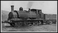
'Blaendare'
|
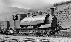
'Blaendare'
|
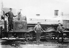
'Blaendare' at Ebbw Vale Ironworks
|
Cwm Lickey and Mynydd Maen
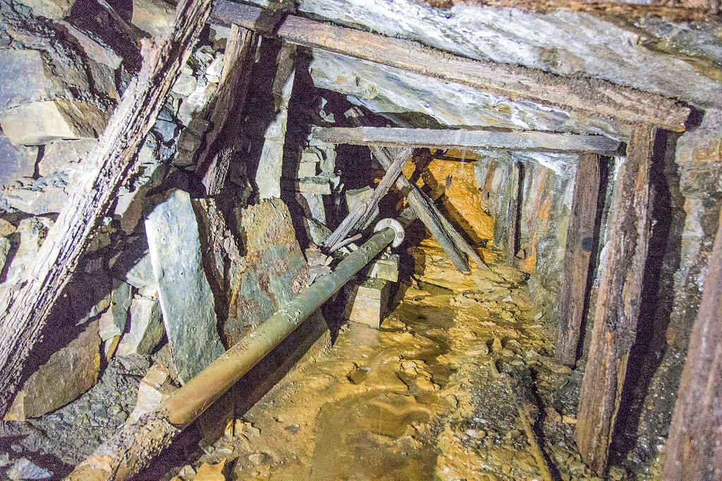
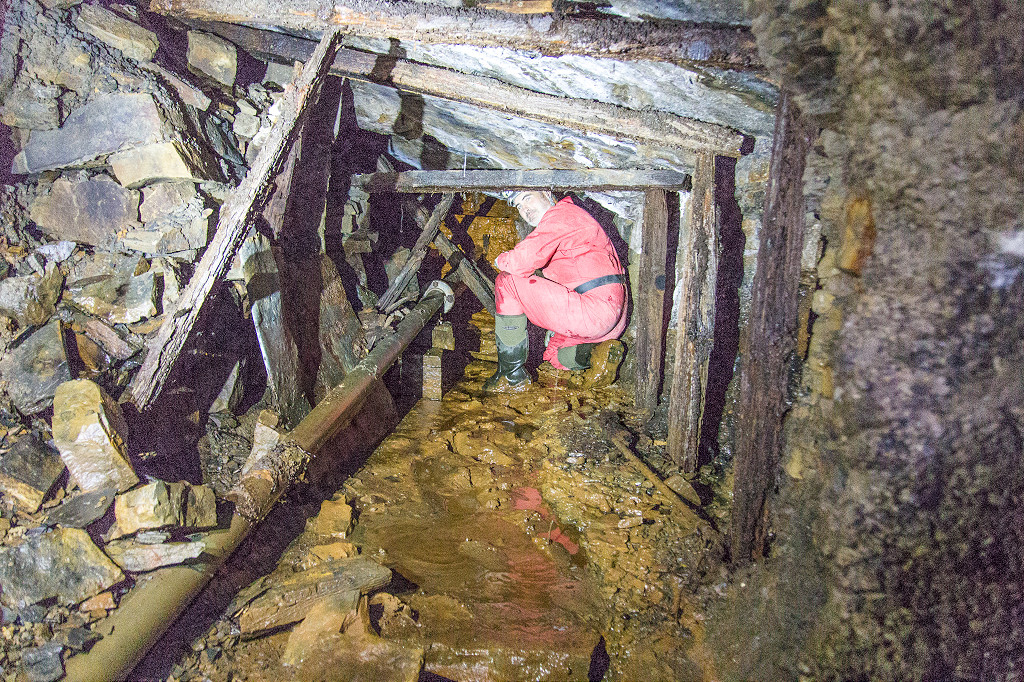
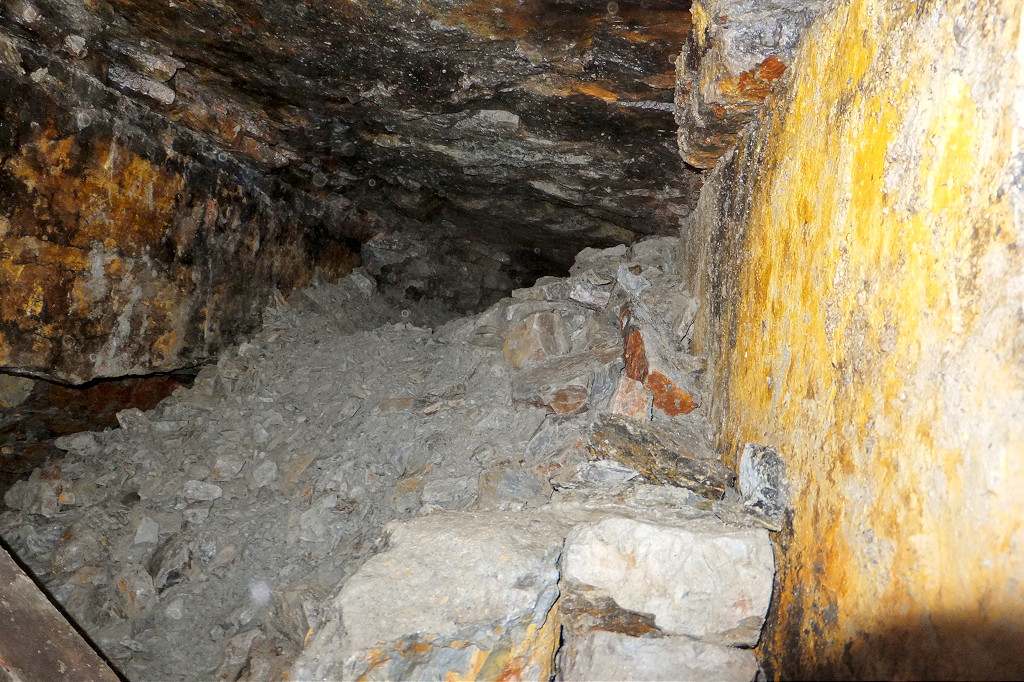
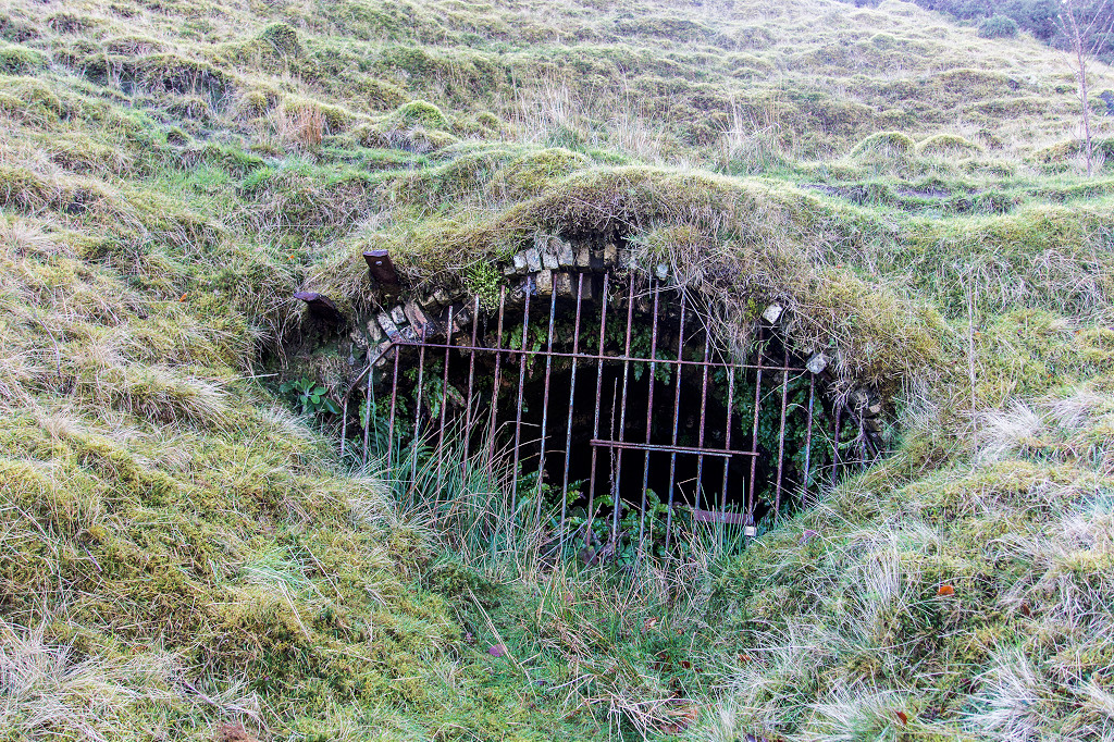
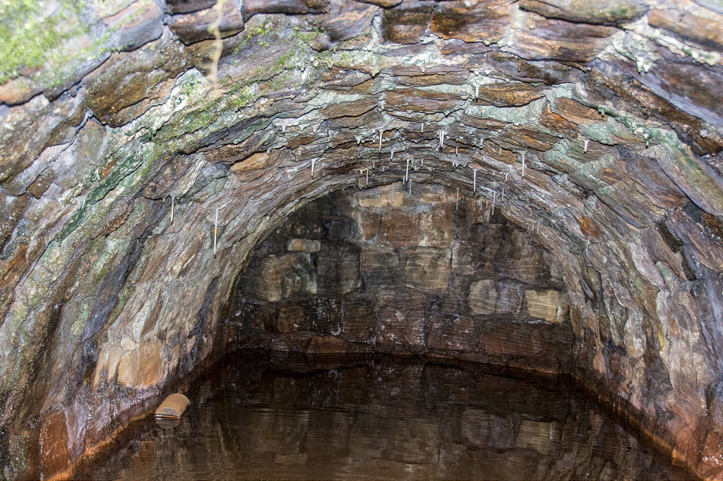
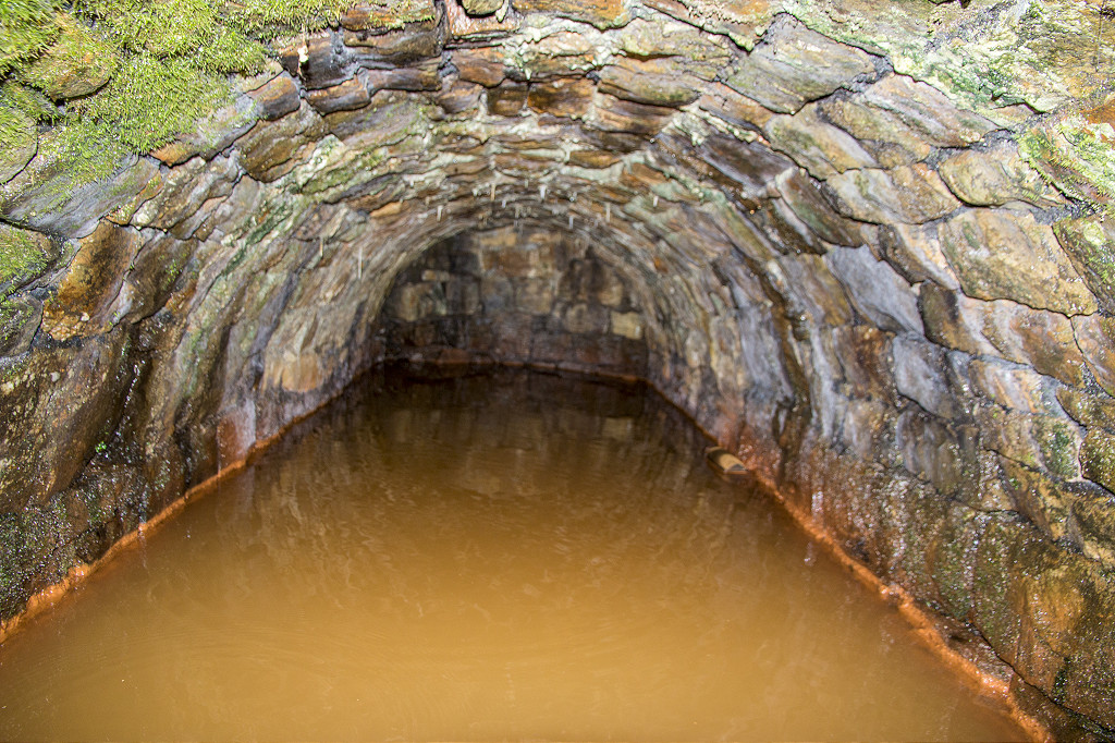
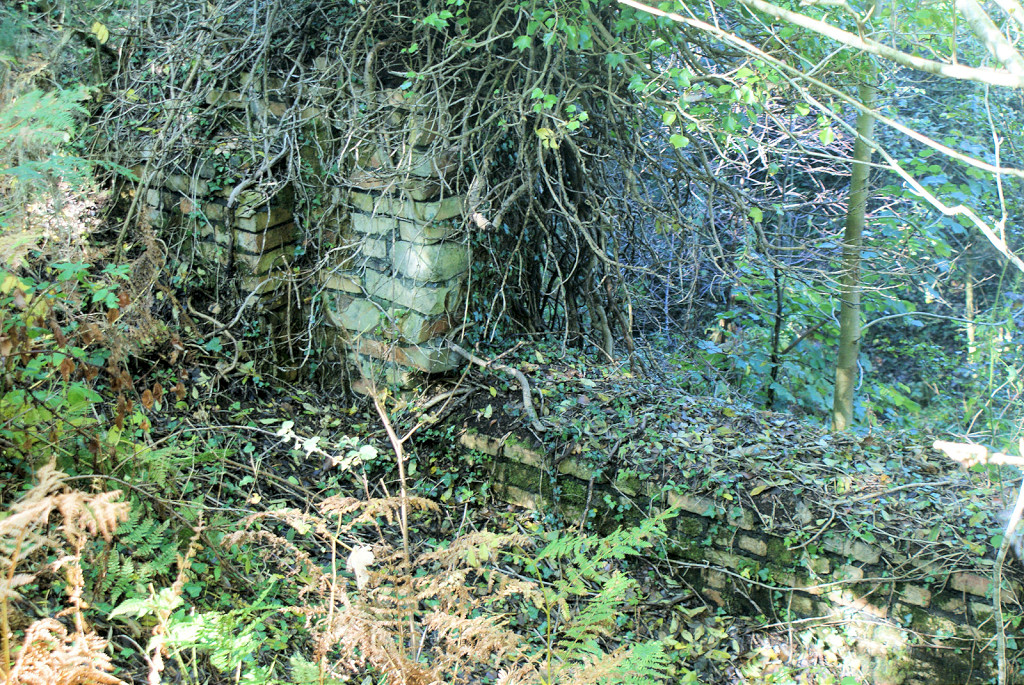
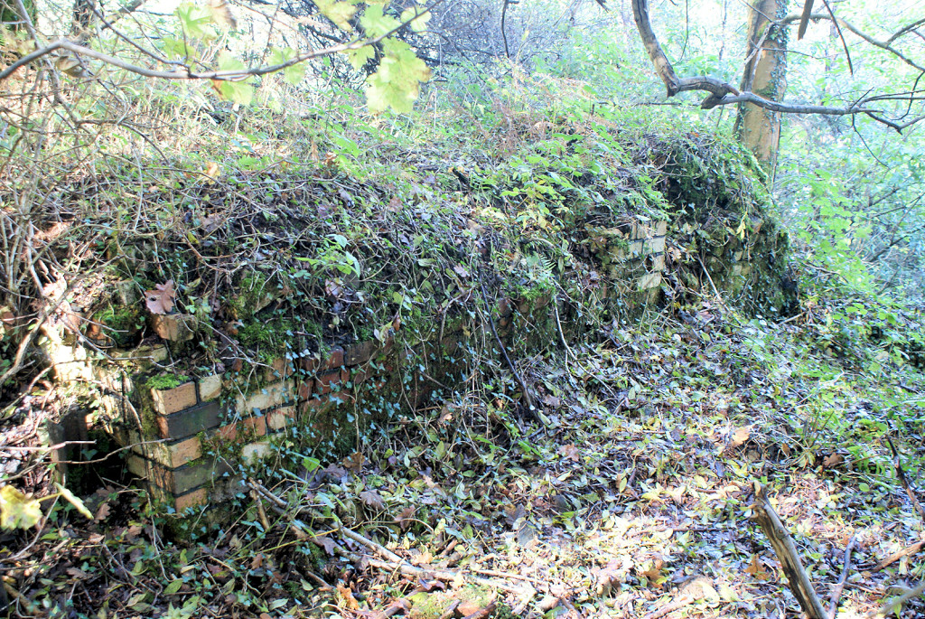
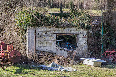
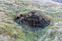
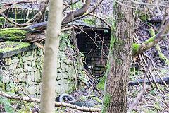
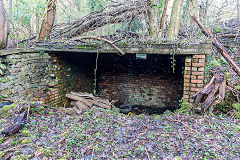
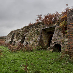
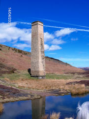
Blaendare Clay Level - ST 2720 9904
Blaendare Clay Level opened in 1810 to supply the brickworks with raw material for its bricks. The roof behing the grille is a fine example of 18th century bricklaying skills
Clay level
|
Clay level
|
Clay level
|

Clay level ironwork
|
Clay level interior
|
Clay level interior
|
Clay level interior
|
Clay level interior
|
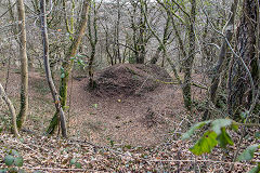
Gorse Level (Gorse Bush Level) - ST 2733 9911
On the Eastern side of the incline, opposite the clay level, a depression is all that remains of Gorse Level. It's recorded in 1888 owned by EVSIC and working the Elled seam who were busy leasing out their mines at that time and nothing more is known.
Gorse Bush level
|
Gorse Bush level
|
|
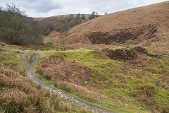
Cwm Lickey incline - ST 2726 9904
The incline connected the higher level collieries and levels with the railway to Blaendare and Hafodyrynys.
Cwm Lickey incline
|
Cwm Lickey incline
|
Cwm Lickey incline
|
Cwm Lickey incline
|

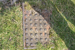
Sleeper on the incline
|
Tramplates in the tips
|
Tramplates in the tips
|
|
The Collieries of Cwm Lickey
Cwm Lickey Colliery - ST 2718 9893
Cwm Lickey Colliery were opened by 1865 and worked by Ebbw Vale Iron Co amongst others until c1907, officially abandoned in 1949 and filled in 1964.
Tramway towards tips
|
Tramway towards pond
|
Air shaft to side of tramway
|
Air shaft to side of tramway
|
Air shaft to side of tramway
|
Air shaft to side of tramway
|
Air shaft to side of tramway
|
Cwm Lickey Colliery shafts
|
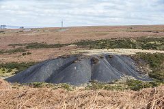
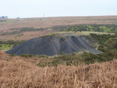
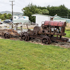
Cwm Lickey Colliery tips - ST 2735 9895
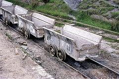
At some time in the 1950s, the 'Star Brick Co' had an idea for making bricks and blocks out of colliery waste. They set up a small operation at the foot of Cwm Lickey Colliery tips which does not seem to have been too successful. This area is littered with 'Star' bricks.
Cwm Lickey Colliery tips
|
Cwm Lickey Colliery tips
|
Cwm Lickey Colliery tips
|
Cwm Lickey Colliery tips
|
'Star Brick Co' workings
|

Cwm Lickey Colliery tips
|
Cwm Lickey Colliery tips
|

Cwm Lickey Colliery tips
|
Rose Cottage - ST 2712 9891
Rose Cottage is shown on the OS maps from 1881 to 1962, next to the surface buildings of the colliery.
Rose Cottage
|
Rose Cottage
|
Rose Cottage
|
Rose Cottage
|

Rose Cottage
|
|
New Vein Level - ST 2740 9879
New Vein Level is shown on the 1881 OS map but is marked as 'disused' by the 1899 edition and not shown afterwards. A tramway wound its way around the hillside to two other old levels.
New Vein Level
|
New Vein Level
|
New Vein Level tips
|
New Vein Level tramway
|
Middle and Eastern levels - ST 2769 9871
Already marked as an 'Old Level' on the 1881 map.
Middle level
|
Middle level
|
Site of the Eastern level
|

Eastern level tramway
|
Eastern level tramway
|

Eastern level tips
|
Eastern level tips
|
Eastern level tips
|
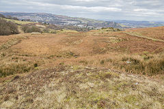
To the head of Cwm Lickey
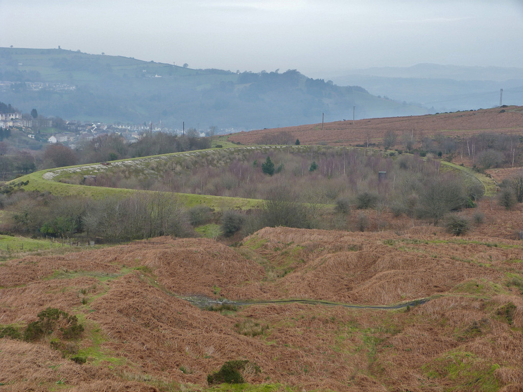
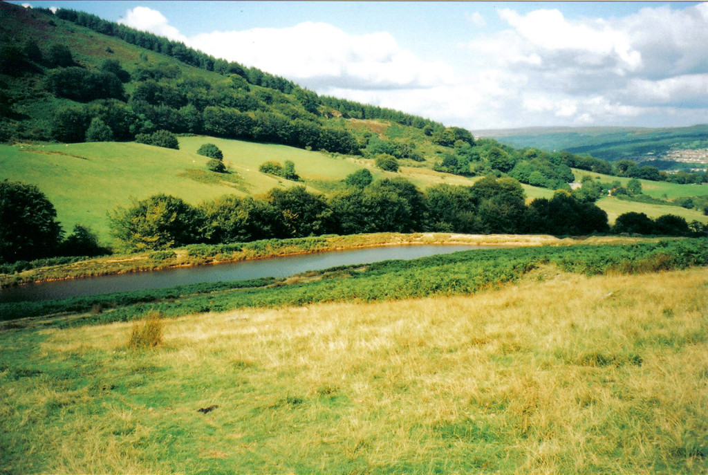
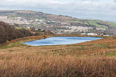
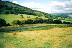
Cwm Lickey pond - ST 2705 9870
Cwm Lickey pond was the middle one of three linked feeder reservoirs created in 1832 to enable water balance machinery in the mines to operate and also to wash out the kilns and supply the brickworks. It is now the only one remaining of the three and is known locally as the middle pond. The remains of the old stone retaining walls and the iron sluice taps can be found. The flattish hollow below the pond is where the third reservoir was situated and is now inpenetrable marsh!
Cwm Lickey lower reservoir
|
'Glyn Eng. Works Pontypool'
|
Cwm Lickey middle reservoir
|
Cwm Lickey middle reservoir
|

Middle reservoir overflow
|
Middle reservoir overflow
|

Middle reservoir overflow
|

Upper reservoir pipeline
|
Upper reservoir
|
The higher scouring reservoir and its leats - ST 2745 9842
This small reservoir is above the main scouring bank and appears to have two leats travelling in different directions.
The higher scouring reservoir
|
The higher scouring reservoir
|

The higher scouring reservoir
|
The higher scouring reservoir
|
The higher scouring reservoir
|
|
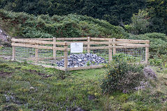
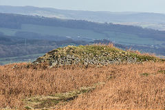
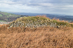
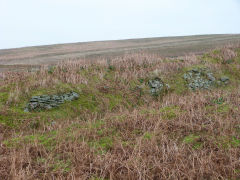
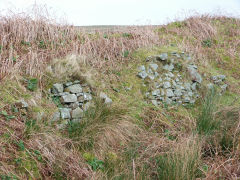
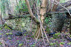
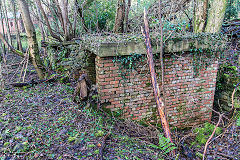
Rifle Range markers hut - ST 2658 9831
The hillside here is littered with remnants of old bullets and empty cases as in the past time the area has been used as a practice firing range. It was first used as a training ground during the 1860’s and also during the 1878 Zulu War, the Boer War and the First and Second World Wars. At the weekends shooting competitions would also be held here.
Rifle range furthest target
|
Rifle range furthest target
|
Rifle range butts
|
Rifle range butts
|

Rifle range targets
|
|
Rifle range markers hut
|
Rifle range markers hut
|

Rifle range markers hut
|
Rifle range markers hut
|

Rifle range markers hut
|
Rifle range markers hut
|
Rifle range markers hut
|

Rifle range markers hut
|
Rifle range markers hut
|
|
Mynydd Maen
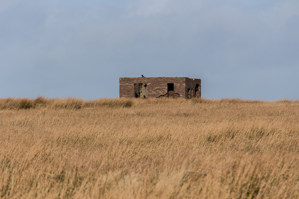
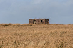
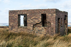
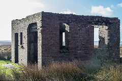
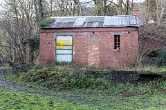
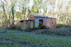
Building on Mynydd Maen - ST 2557 9831
This brick-built building right on top of Mynydd Maen has all the appearance of being of military origin, possibly for an earlier radio aerial, observation post or anti-aircraft battery.
Mynydd Maen building
|
Mynydd Maen building
|
Mynydd Maen building
|
|
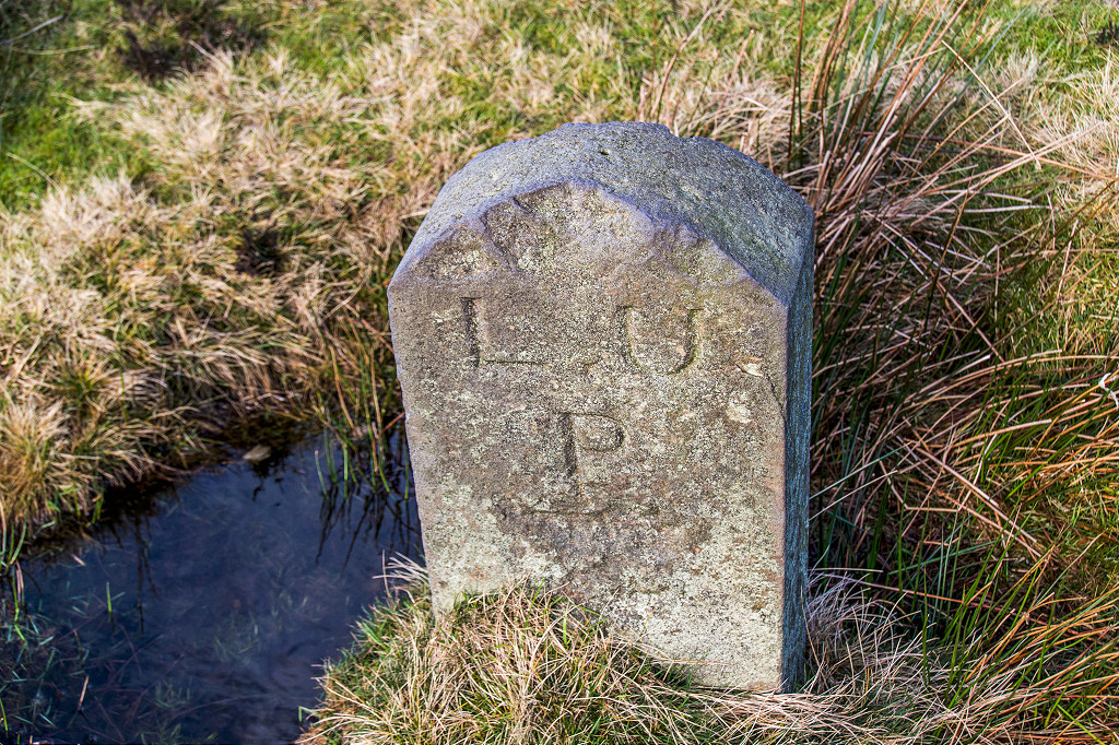
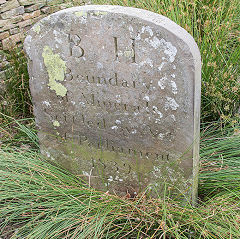
Boundary stones - all over the place
Mynydd Maen is covered with boundary stones. This is one of at least two that mark the boundary between Pontypool and Llanfrecha Upper Parishes.
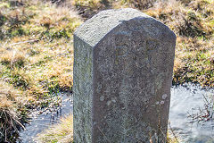
'PP', Pontypool Parish
|
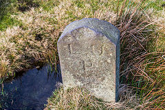
'LUP', Llanfrechfa Upper Parish
|
|
|
Lower Race and Old Furnace
Coch-y-North Lane Quarry - SO 2662 0071
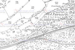
Old Furnace - SO 2685 0030
Coch-y-North Quarry is at the end of the original tramroad from Blaen-y-cwm Colliery and at the head of the incline down to Old Furnace and the Trosnant Tramroad. This is probably the incline that used chains which proved too heavy for successful operation.
Old Furnace, 1843 tithe map
|
Old Furnace, 1881
|
Old Furnace in c1955
|
|
Coch-y-North Lane Quarry
|
Coch-y-North Lane Quarry
|
Coch-y-North Lane Quarry
|
Coch-y-North incline
|

Gelli-Pistyll buildings
|
Gelli-Pistyll machinery
|
|
|
Albion Road Colliery - SO 2687 0021
Albion Slope - SO 2750 0015
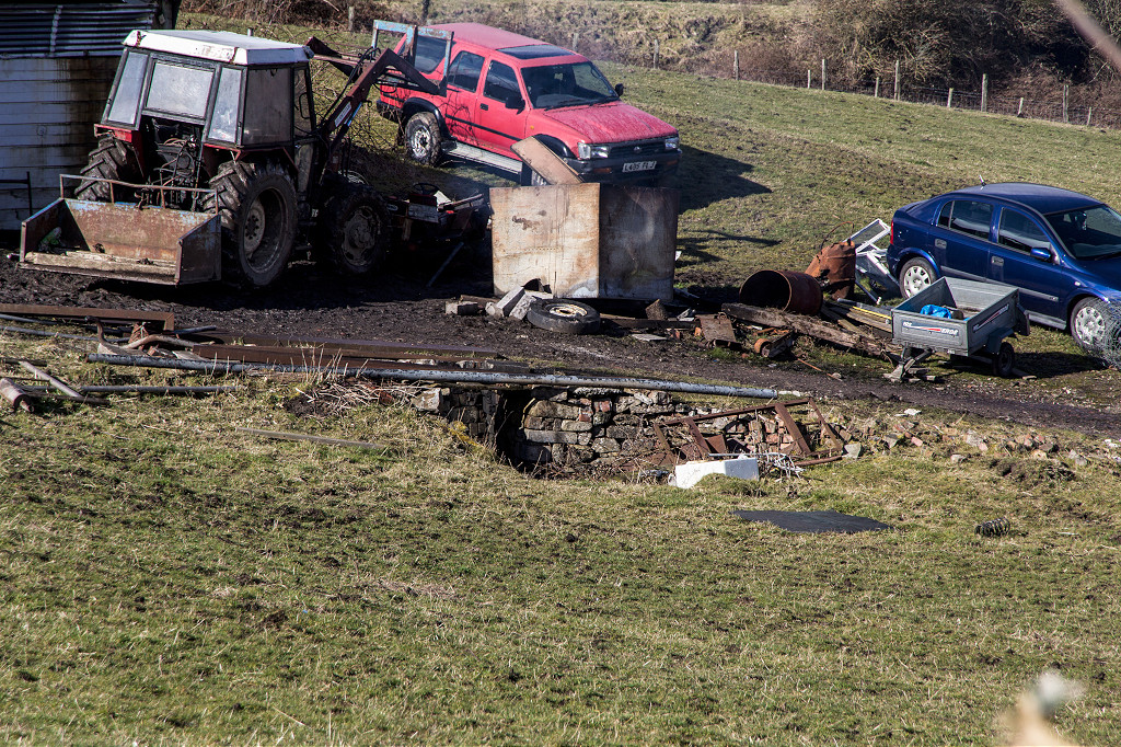
Lower Race has been a hive of industrial activity since before 1881, coal-mining, brick-making, wagon repairs, engineers and foundries, slag crushers, etc. Any attempt to positively identify these ruins is almost impossible.
Site of Albion Road Colliery
|
Site of Albion Road Colliery
|
Site of Albion Road Colliery
|
Site of Albion Road Colliery
|

Site of Albion Road Colliery
|
Albion Slope ruins
|
Albion Slope ruins
|
Albion Slope ruins
|

Albion Slope tips
|
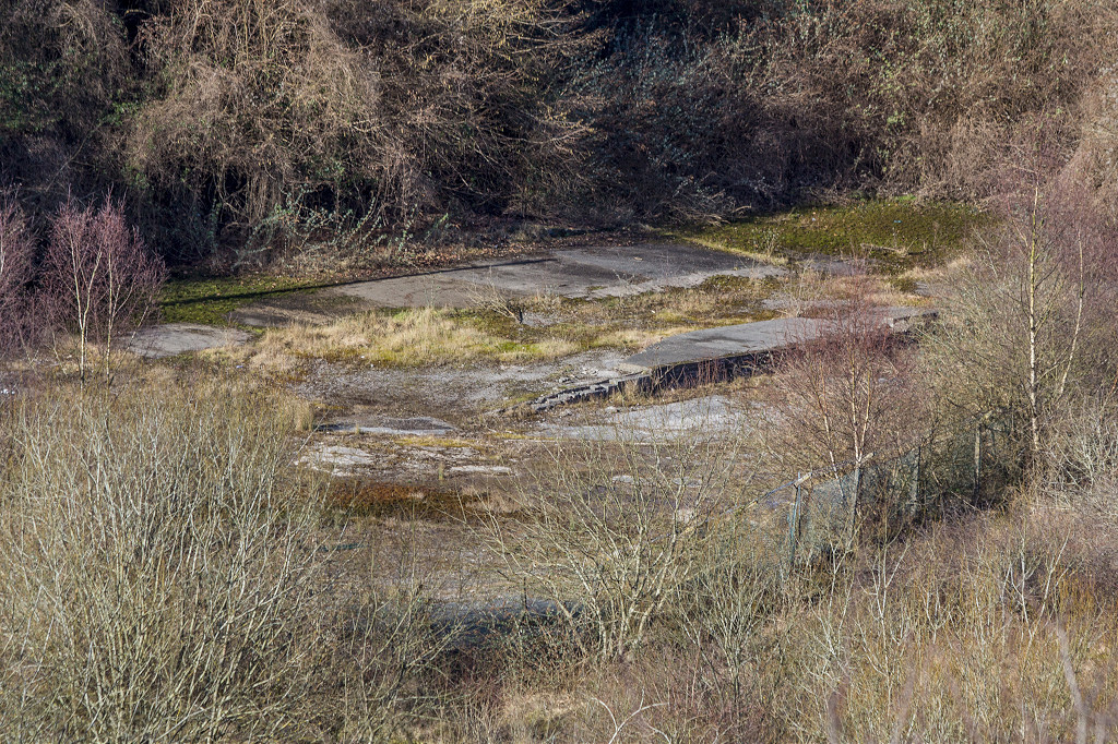
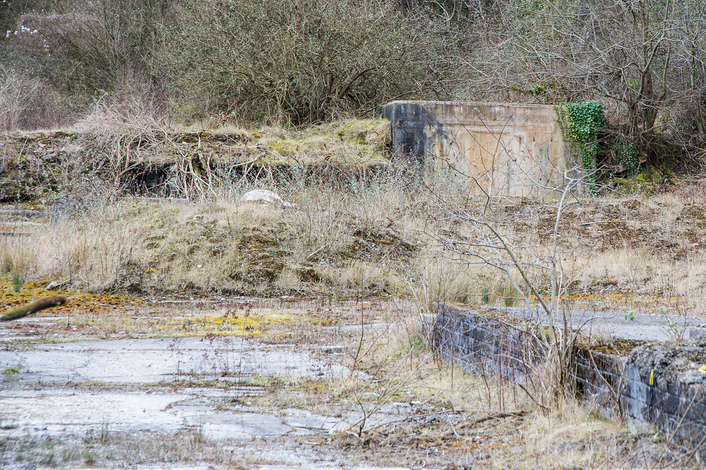
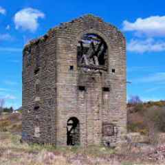
Mynydd Maen Colliery - SO 2698 0035
Mynydd Maen Colliery was opened in 1913 on the site of an 1870s level and was connected underground to Wern Hill level. It was taken over by the NCB and closed in 1955. Since then the canteen building survives as a stable and across the stream the ruins of the engine house and another building hide in the undergrowth.
Mynydd Maen Colliery, 1920
|
Mynydd Maen Colliery tips
|
Mynydd Maen engine house
|
Mynydd Maen engine house
|
Mynydd Maen engine house
|
Mynydd Maen engine house
|
Mynydd Maen engine house
|
Mynydd Maen engine house
|
Mynydd Maen Colliery canteen
|

Mynydd Maen Colliery canteen
|

Mynydd Maen Colliery canteen
|
Mynydd Maen Colliery canteen
|
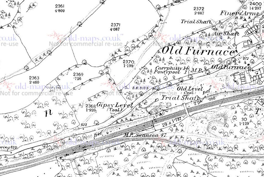
Gypsy level - SO 2660 0024
Gypsy level is working at the time of the 1881 map but marked 'disused' by 1901.
Gypsy Level, 1881
|
Gypsy Level, Old Furnace
|
Gypsy Level, Old Furnace
|
Gypsy Level, Old Furnace
|
Gypsy Level, Old Furnace
|
Gypsy Level, Old Furnace
|
Gypsy Level tramway
|
Gypsy Level tramway
|
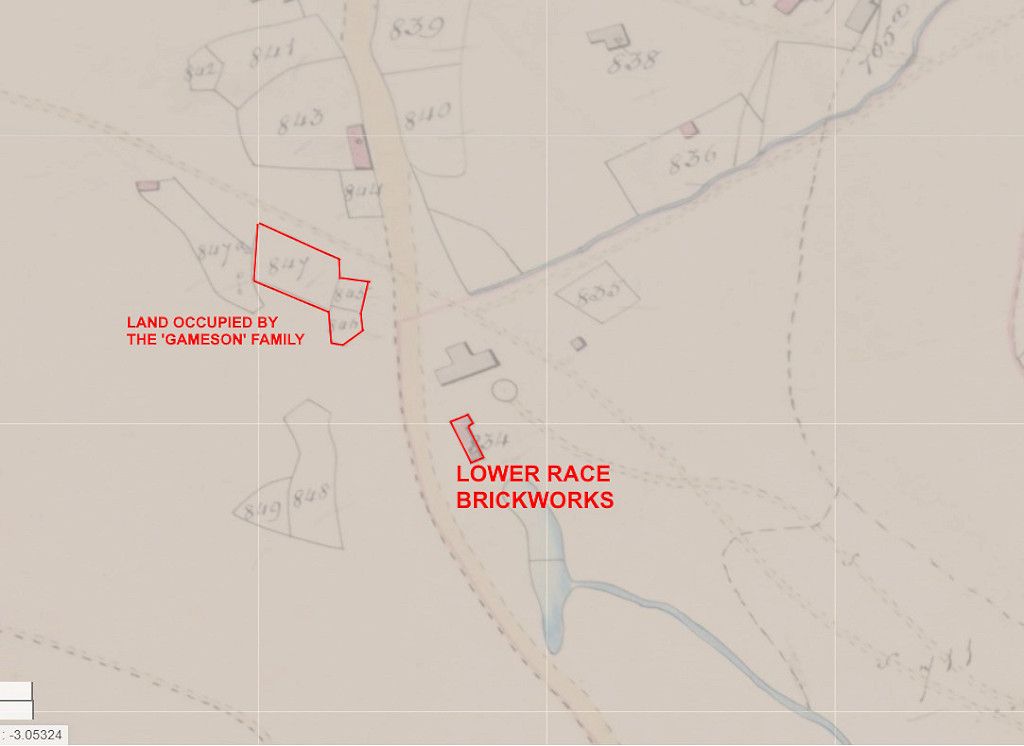
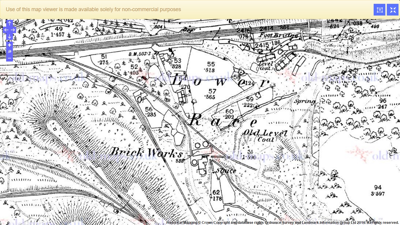
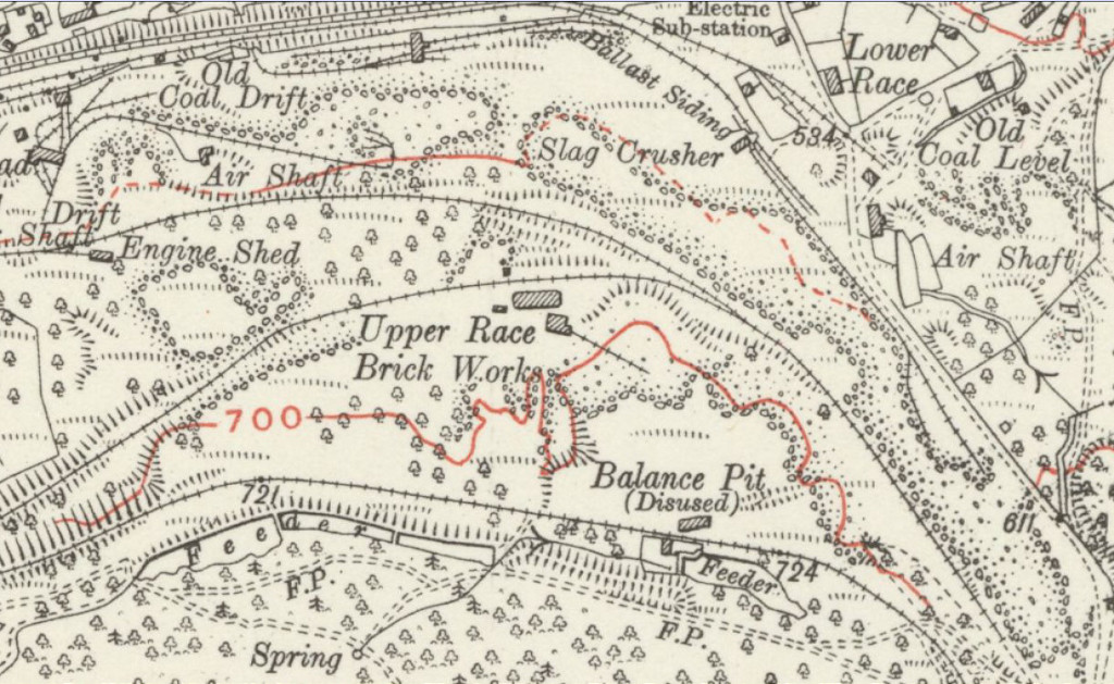
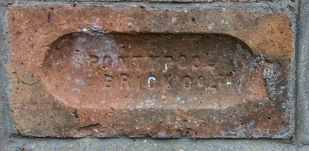
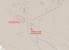
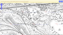
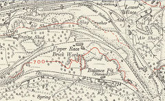
Lower Race Brickworks (Pontypool Brick Co Ltd) - ST 2730 9935
The earlier brickworks at Lower Race seems to date from the 1840s, being shown as a brickyard on the 1840 Tithe Map, occupied by Edward and Abraham Vaughan which also shows adjacent land as being occupied by John and Thomas Gameston but as a 'garden' (see above). In 1891 Henry Bythway managed the Lower Race brickworks of the Blaendare Co and, at the same time, was also the manager of the Cwmffrwdoer Brick Co. The Lower Race Brickworks was disused by 1901 and demolished by 1910.
By c1905 an 'Upper Race Brickworks' but still in Lower Race appears on the other side of the Blaendare road and is shown as disused in 1948. The area had been cleared on the 1962 map. This is probably the brickworks using the 'Pontypool Brick Co' imprints. The Pontypool Brick Co Ltd is first mentioned in Kellys 1906 directory at The Race, Pontypool with the last entry being in the Industrial Directory for Wales & Monmouthshire for 1948.
Lower Race Brickworks, c1845
|
Lower Race Brickworks, 1880
|
Lower Race Brickworks, 1916
|
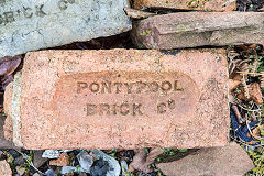
'Pontypool Brick Co'
|

'Pontypool Brick Co Ltd'
|
'Pontypool Brick Co Ltd'
|
Acknowledgments, sources and further reading.
Many thanks for sharing their valuable knowledge to Clive Davies, Ray Lawrence, Stuart Poultney, Lawrence Skuse, Mike Stokes, Neil Waite, Leyton Williams.
'Cwm Lickey Circular Walk' Leaflet by Torfaen Council.
'Down to Pontymoile' by Roy Morgan.
'A local history of the Race' by Neil Waite.
'Tramroads of Pontypool' by Gordon Rattenbury (RCHS).
'The Iron Heart of Gwent' by Clive Davies and Gwyn Tilley.
A Guide to the Website
Industrial Wales
Collieries, Ironworks, Quarries, Railways, Canals, Tramroads, Tunnels, Culverts and so much more....
|
Brickworks of Wales
Bricks are 'History with a label' so here's the story of the Brickworks of Wales - photos, maps and the products themselves
|
Around the World
My travels around the UK and the Whole Wide World in search of industries, railways, trams and mines to name a few.
|
Boundary Stones and Mileposts
Boundary Stones, Mileposts and other markers in simple alphabetical order of their initials, name or site.
|
Ships and Shipping
Ships around the World in simple alphabetical order of their name (or apparent area if I can't read the name).

|
The Site Map and Index
A full list of all the pages of the whole website in just one place, so you should find exactly what you are looking for.
|
About the Site
The background and technical details about the site, plus a contact page and links to other sites - and a warning !!
|
Contact Me
Something to add? A great photo? Something wrong? or need to know more about things? Just drop me a line here.

|
Further Reading
You can find lots of local and other very helpful websites, books, magazines and Facebook groups all listed here.
|
All rights reserved - Phil Jenkins