Industrial Wales - Monmouthshire's Eastern Valley
The Glyn Valley
From Glyn Pits to Hafodyrynys
Search the site here
|
|
Industrial Wales - Monmouthshire's Eastern Valley
The Glyn Valley
From Glyn Pits to Hafodyrynys
|
Search the site here
|
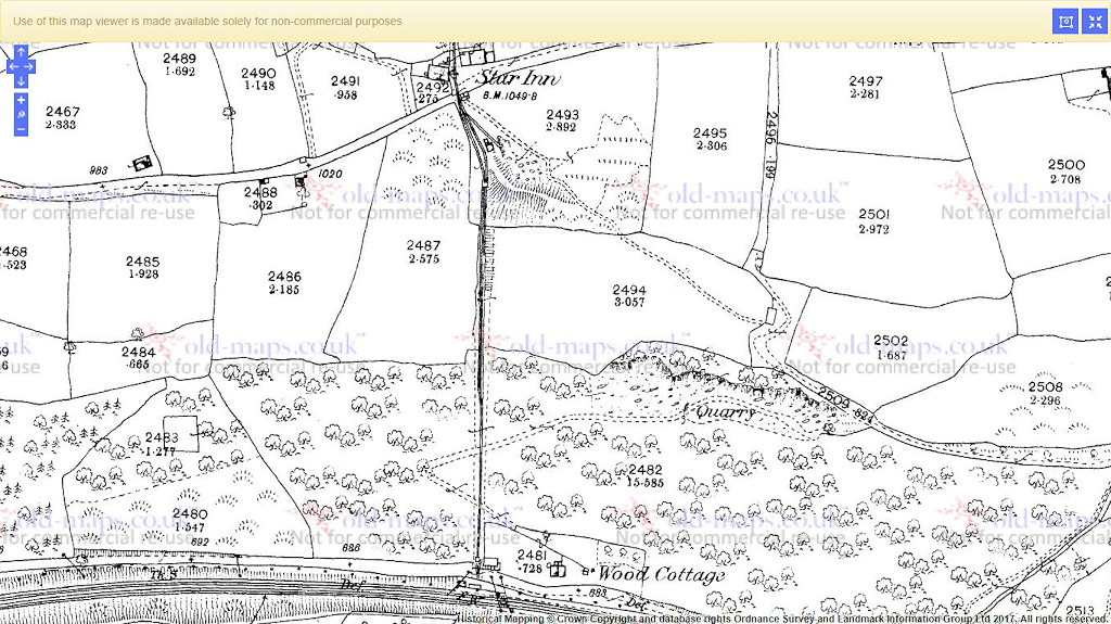
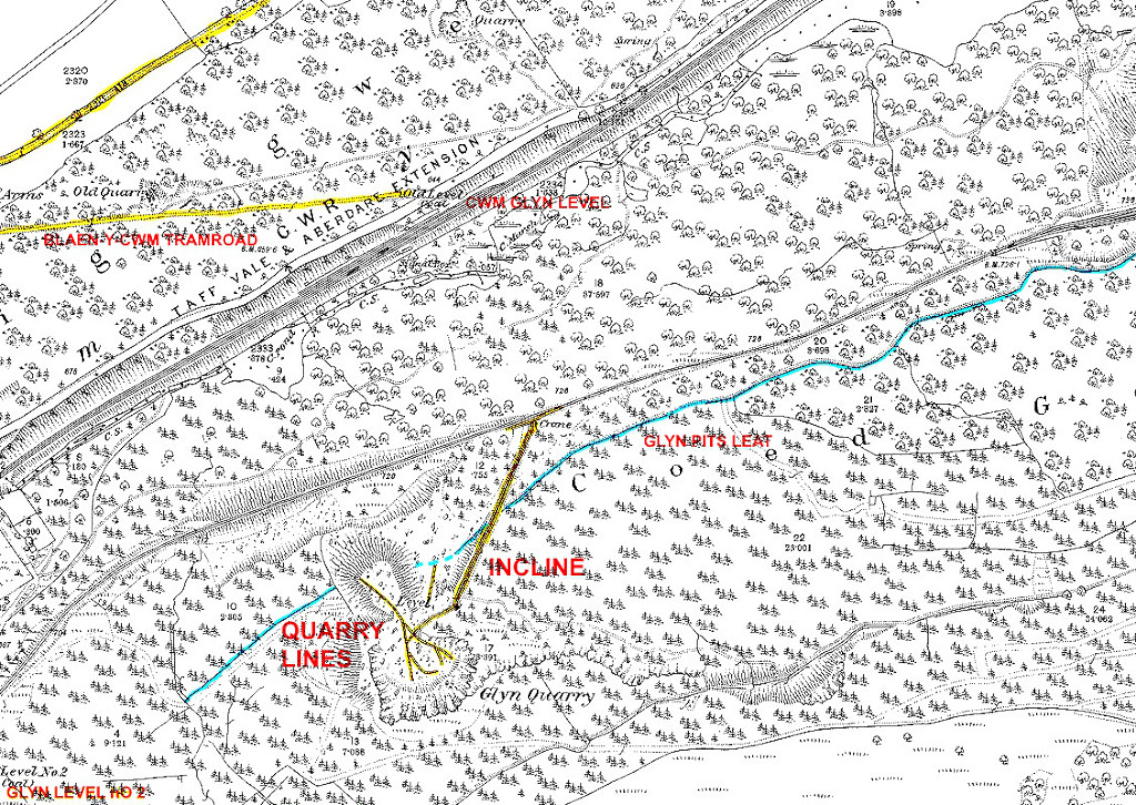 Glyn Quarry and Level, 1880 |
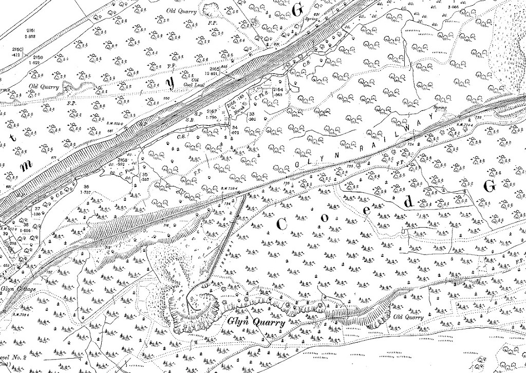 Glyn Quarry and Level, 1901 |
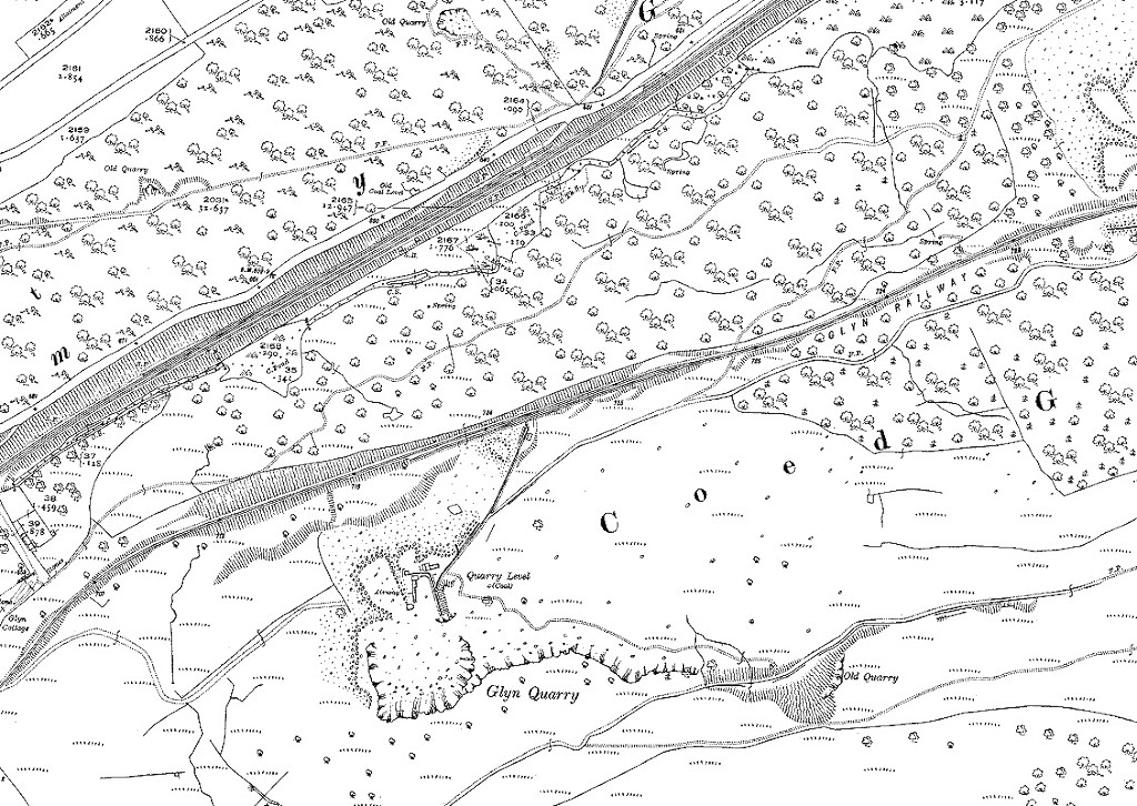 Glyn Quarry and Level, 1920 |
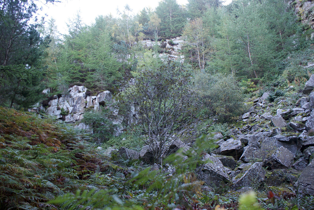 Glyn Quarry left-hand face |
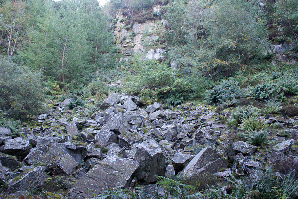 Glyn Quarry centre face |
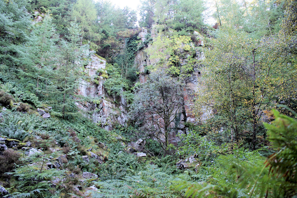 Glyn Quarry right-hand face |
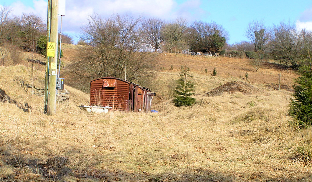
 Loading bank on Blaendare branch |
 Loading bank shelter |
 Siding on Blaendare branch |
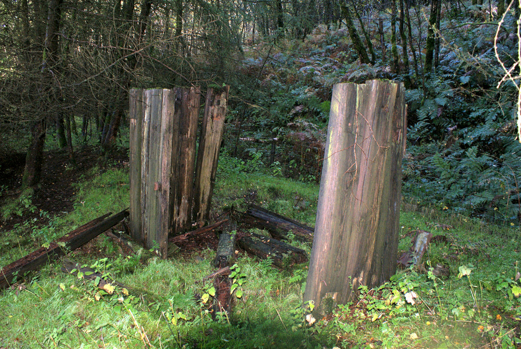 Wooden structure beside siding |
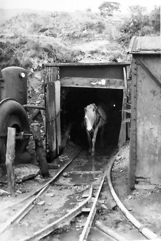
 Stables and blacksmiths shop |
 Stables and blacksmiths shop |
 Stables and blacksmiths shop |
 Water tank |
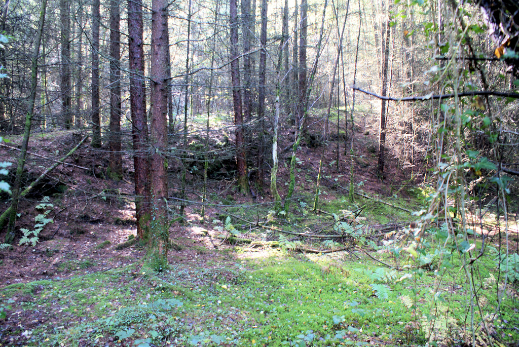
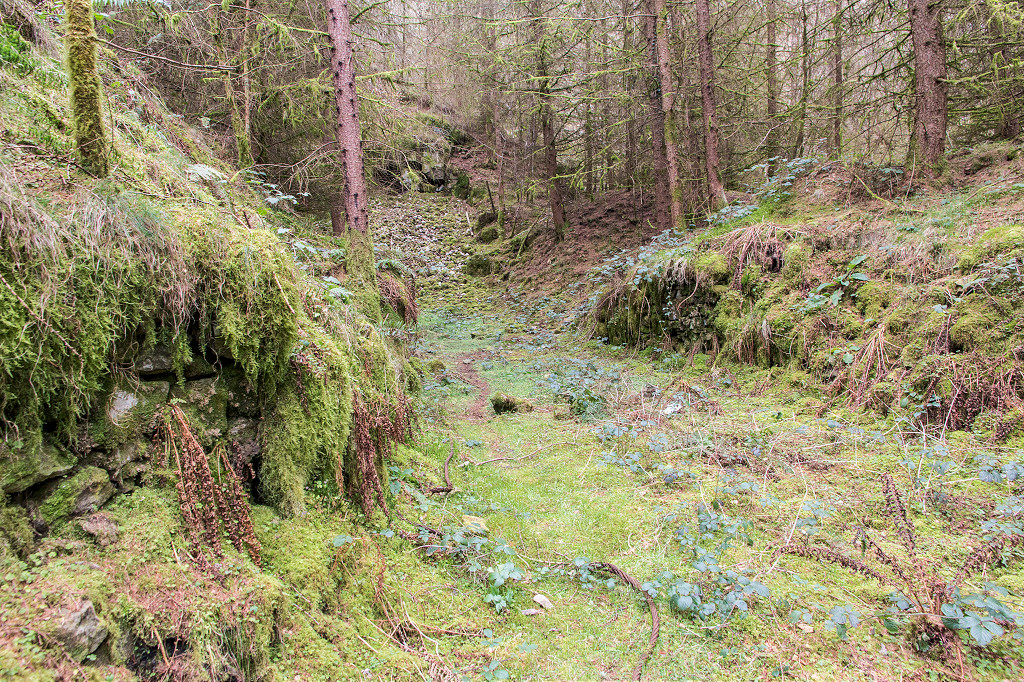
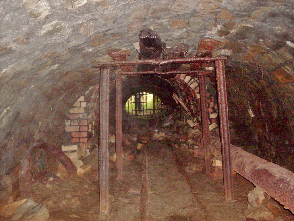
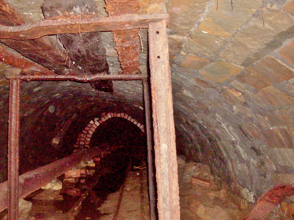
 Quarry Level incline looking up |
 Quarry Level incline looking down |
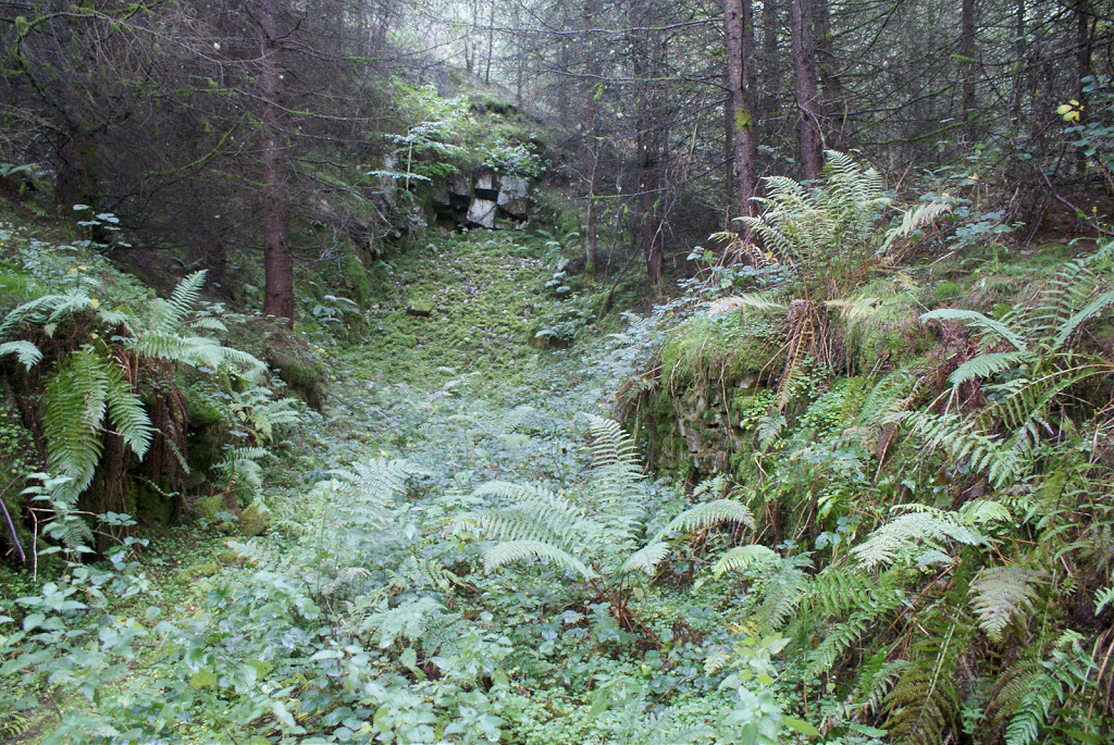
 Incline from stables |
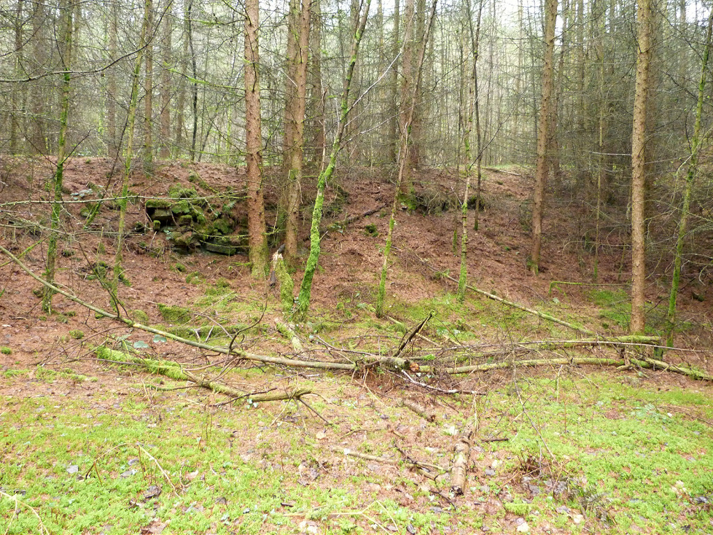 Incline from stables |
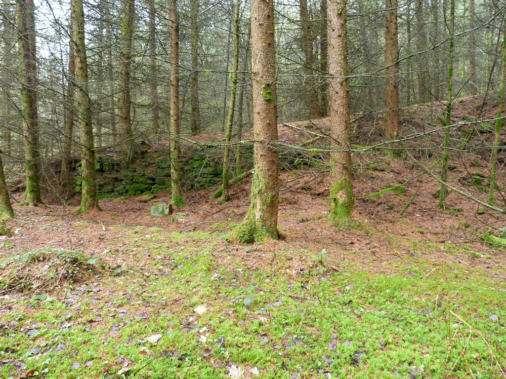 Incline from stables |
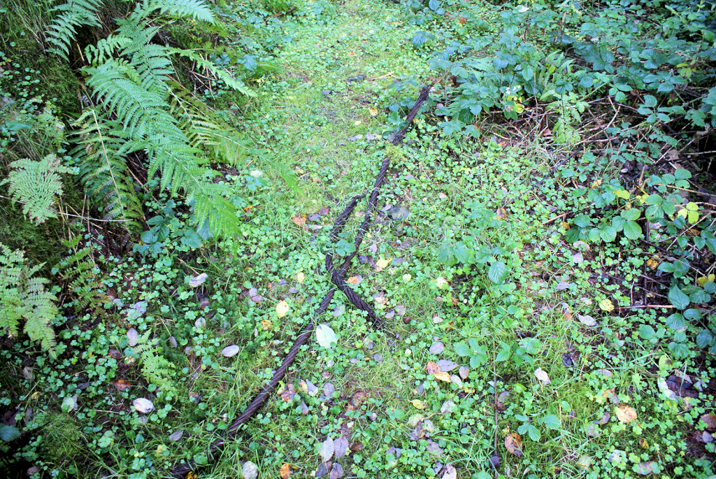
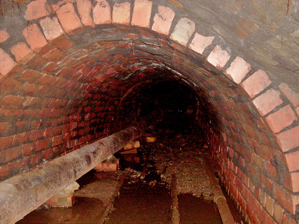
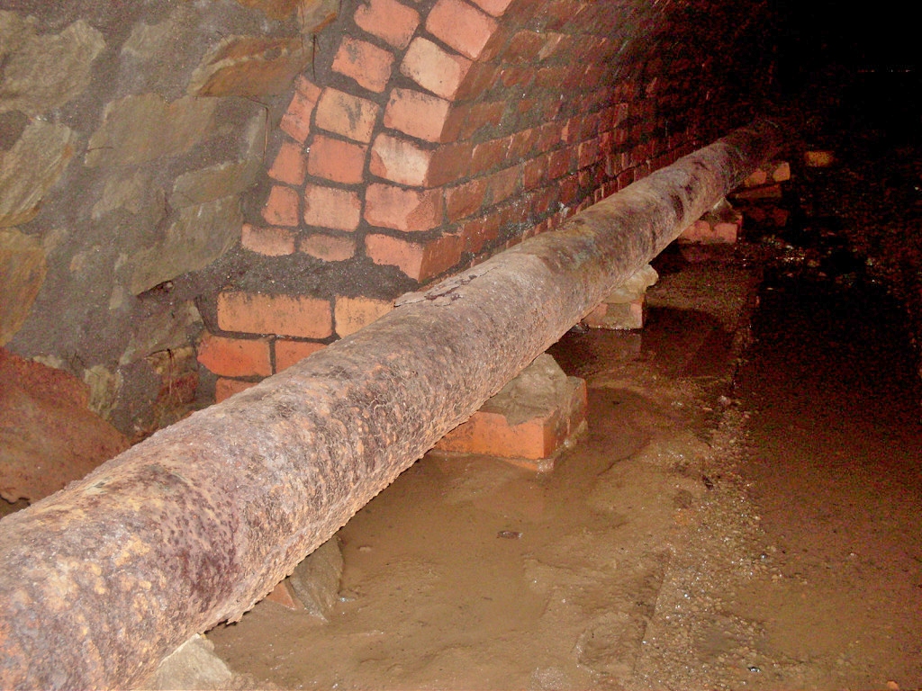
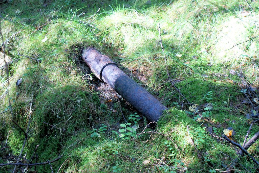 Waterpipe running beside incline |
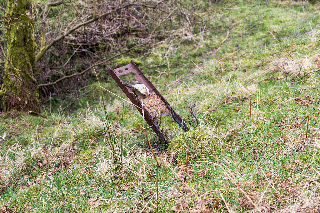
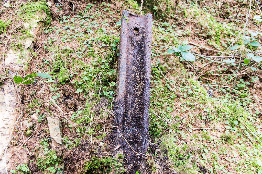
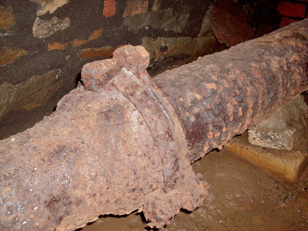
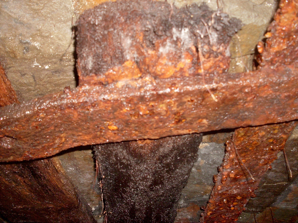
 A metal hanger of some kind |
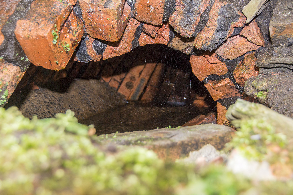
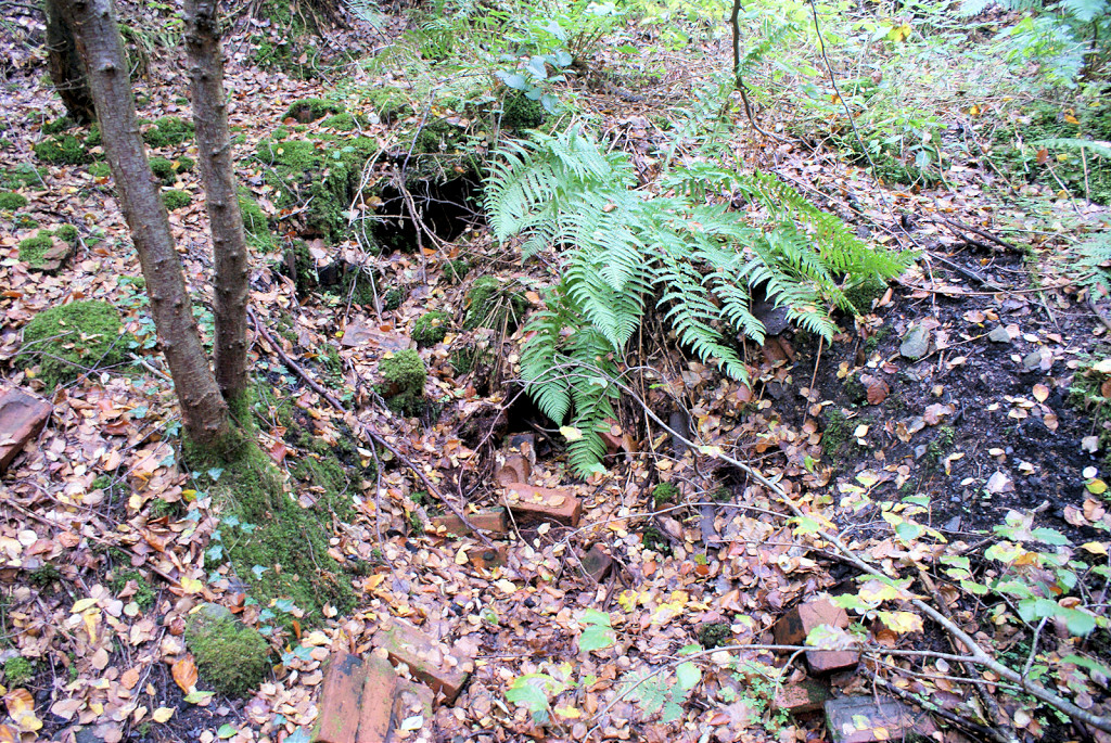
 Quarry Level downcast level |
 Rail at downcast level |
 Quarry Level downcast level |
 Downcast level haulage cable |
 Quarry Level upcast level |
 Quarry Level upcast level |
 Quarry Level upcast level |
 Quarry Level upcast level |
 Quarry Level upcast level |
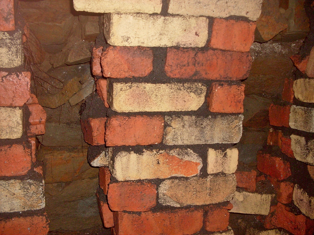
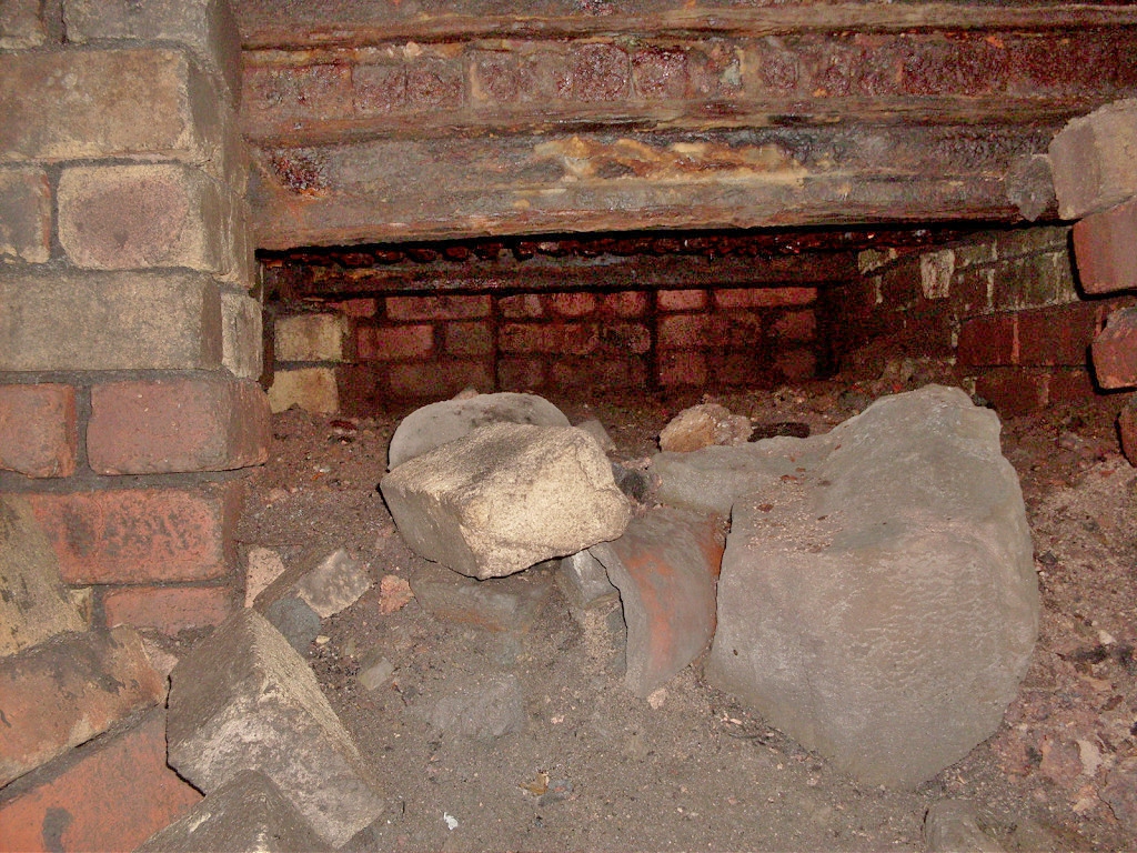
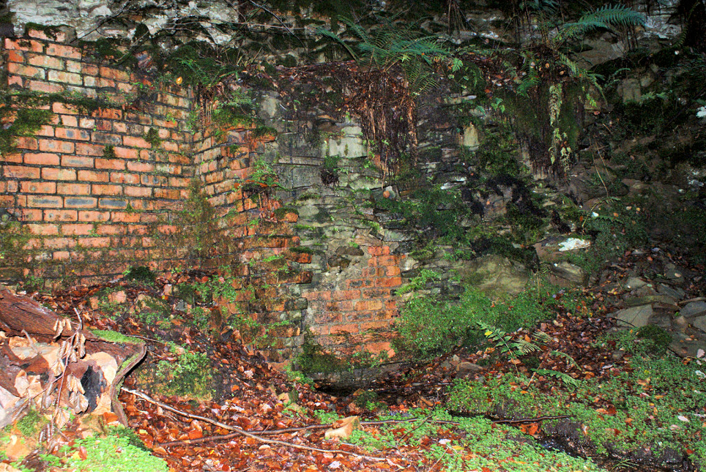
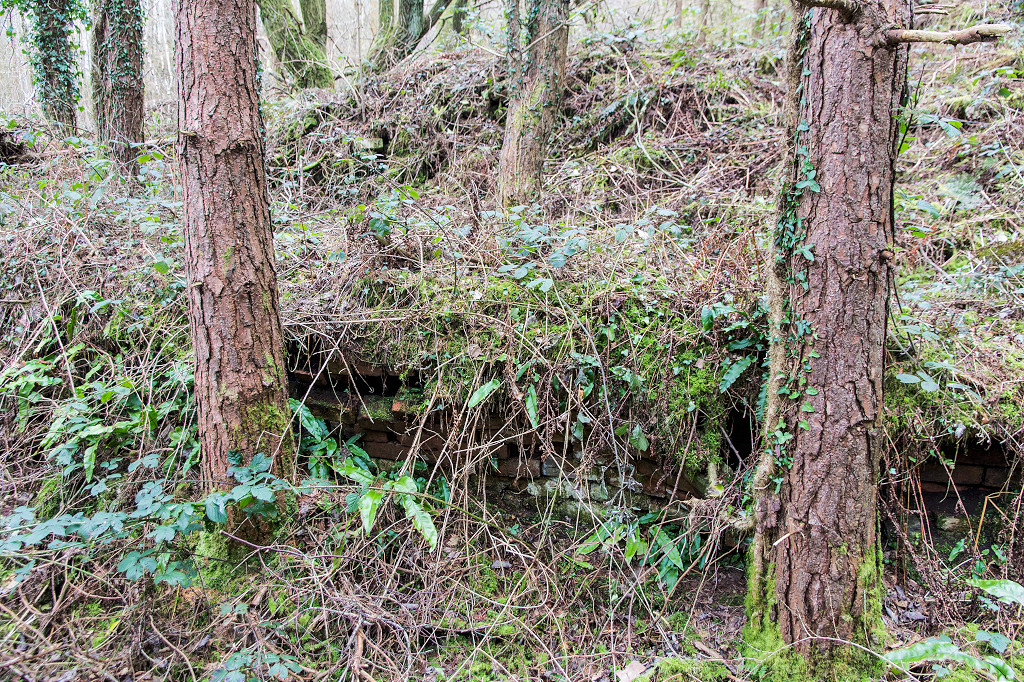 Upcast level brickwork |
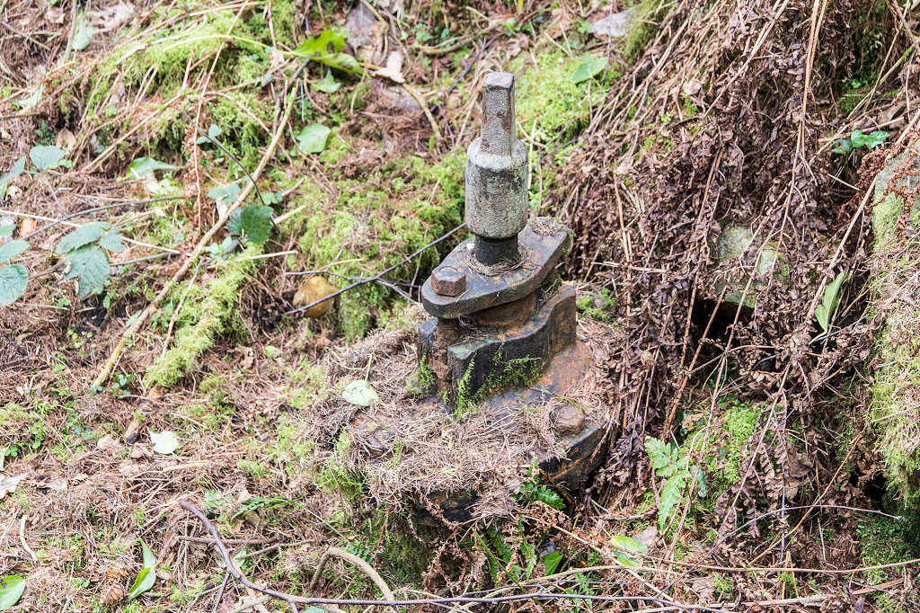 Upcast level valve |
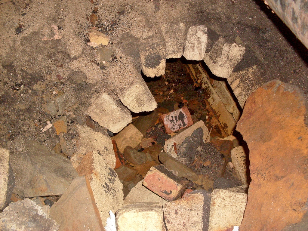
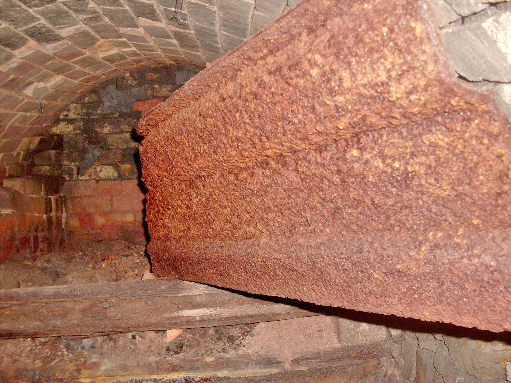
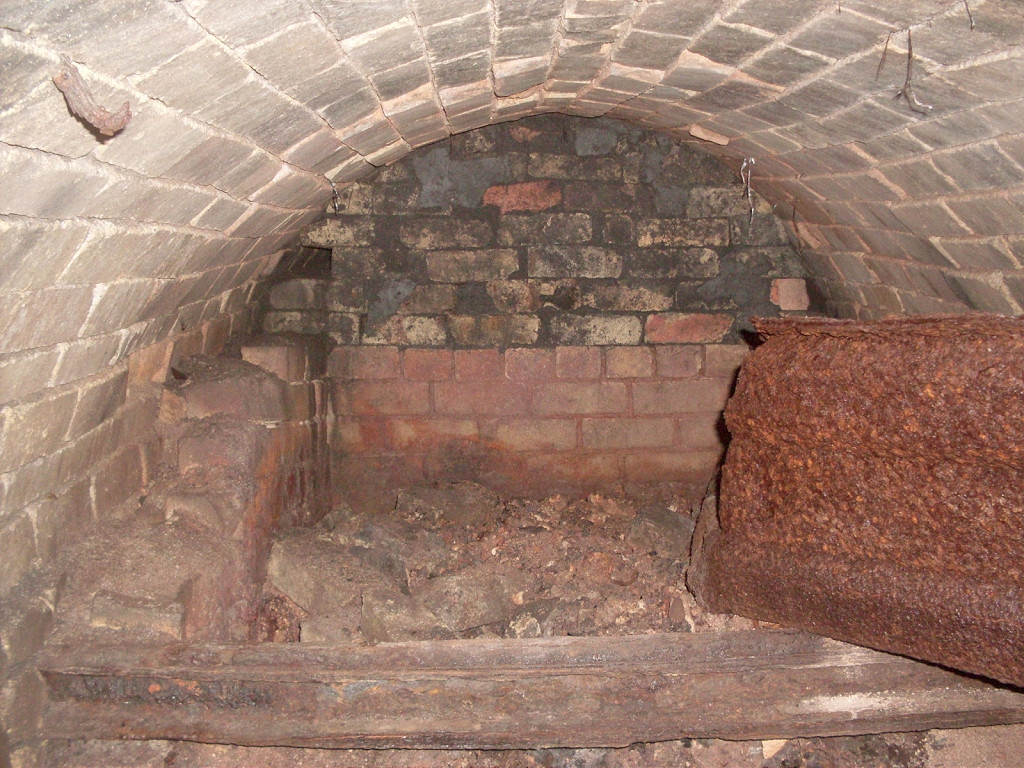
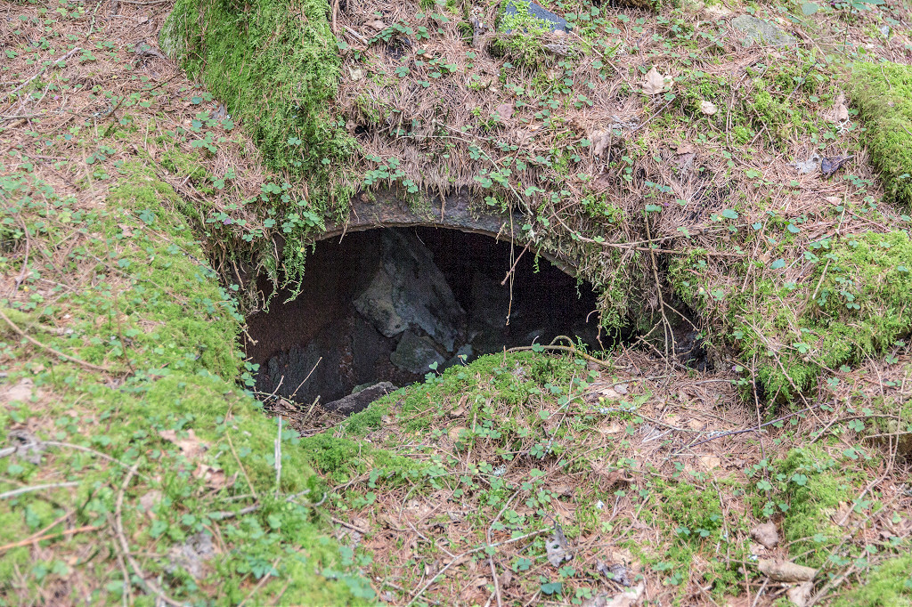 Quarry Level furnace flue |
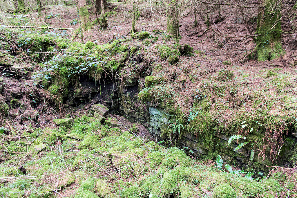 Quarry Level furnace area |
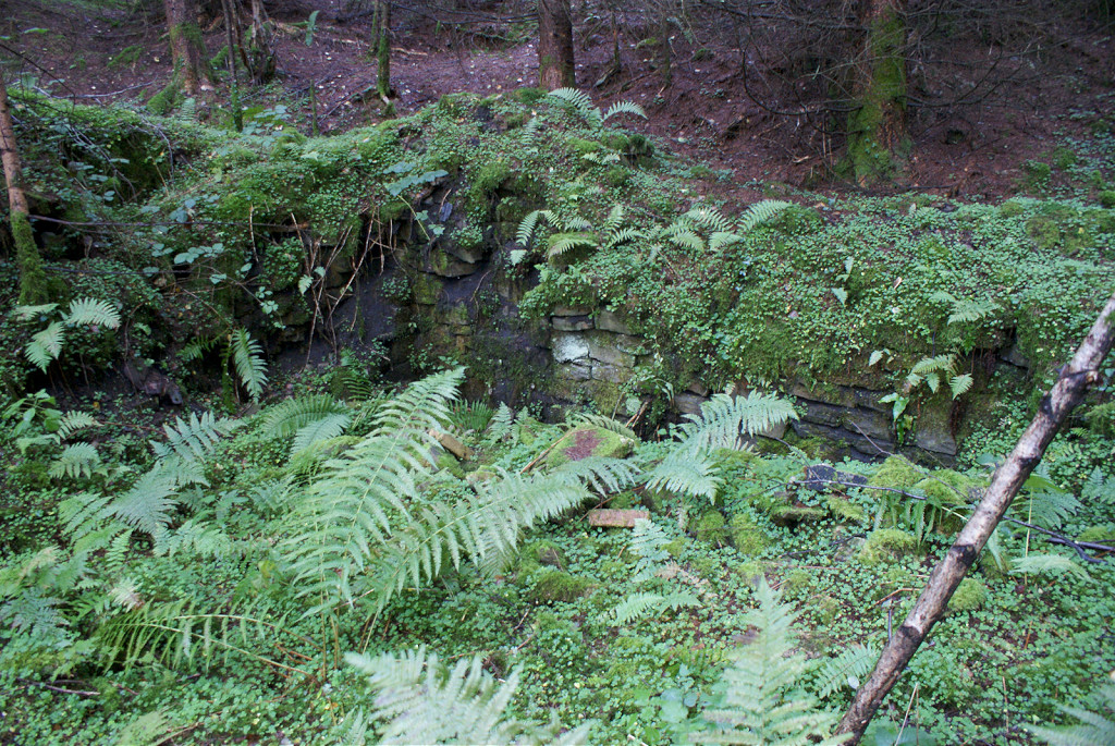 Fanhouse and furnace foundations |
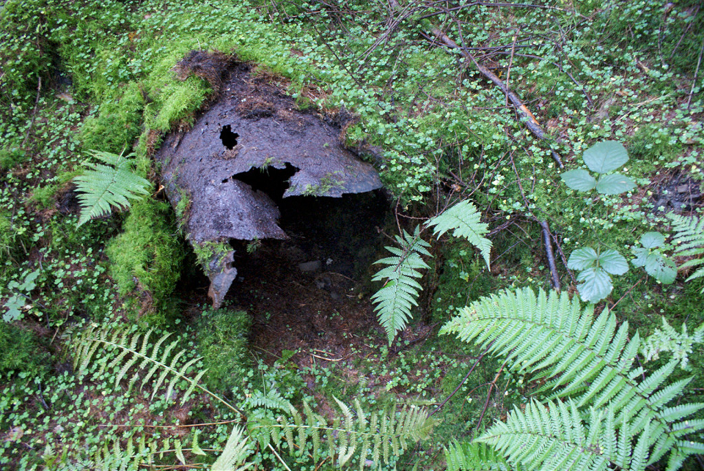 Quarry Level furnace flue |
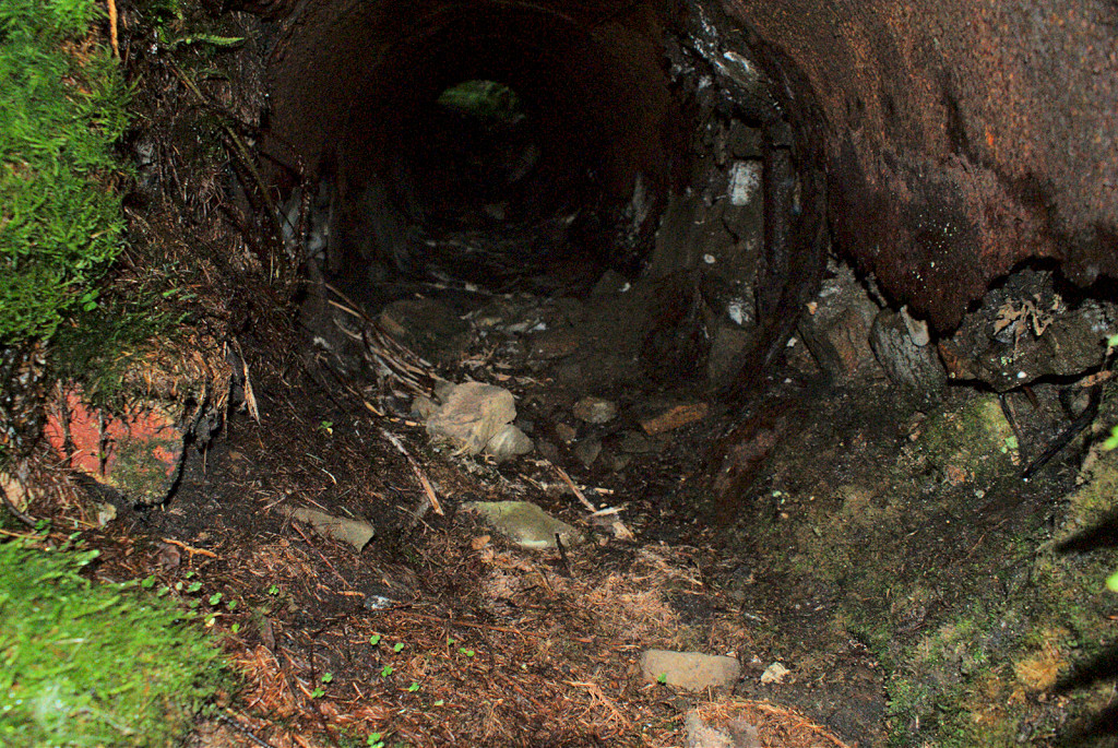 The inside of the furnace flue |
 Quarry Level upcast level |
 Quarry Level |
 Quarry Level |
 Quarry Level |
 Quarry Level downcast level |
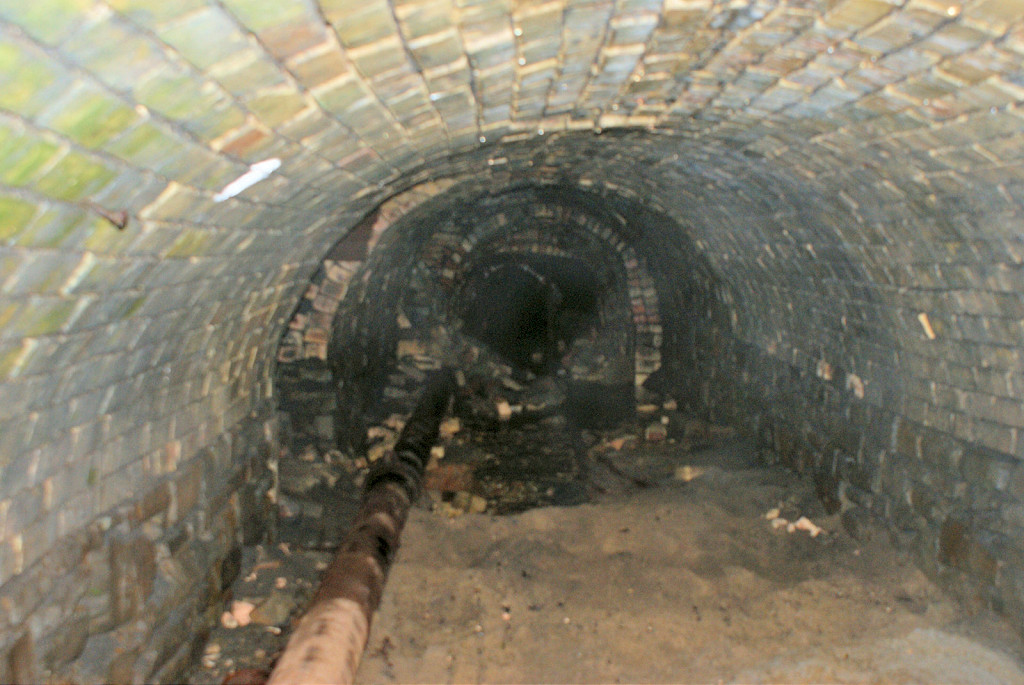
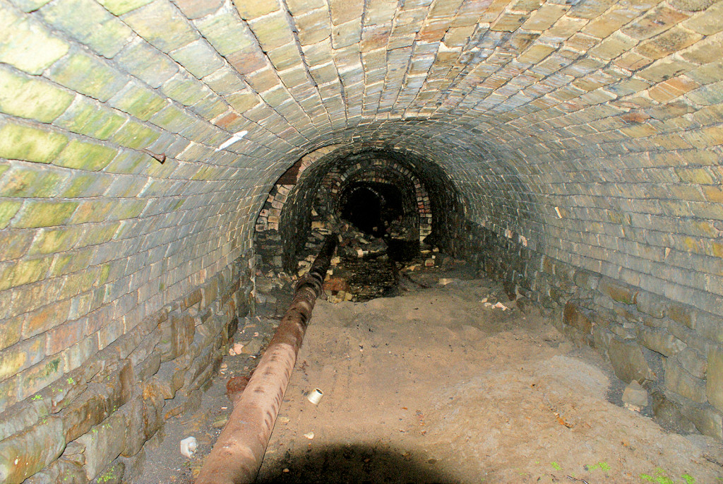
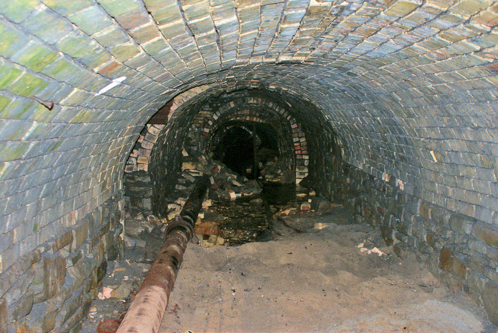
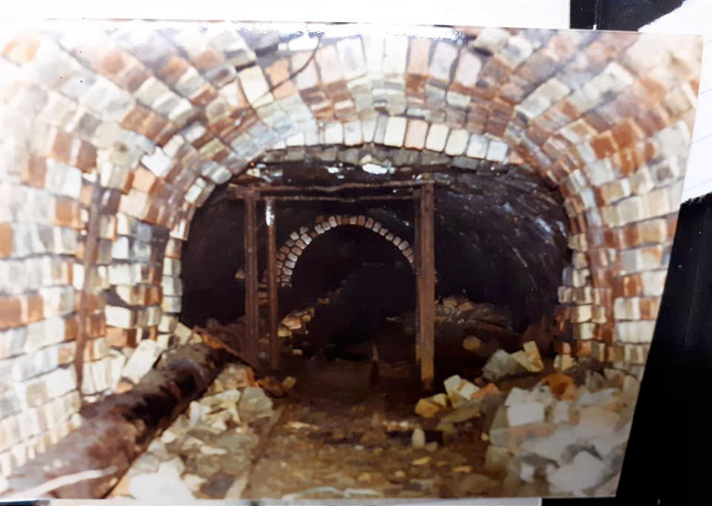
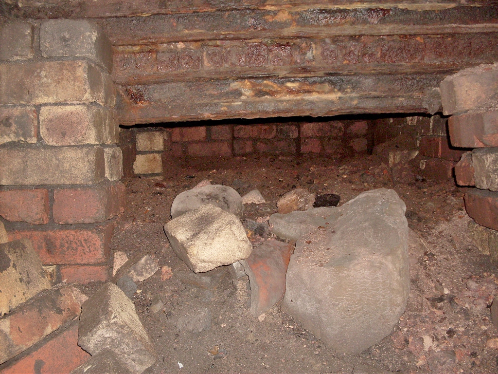
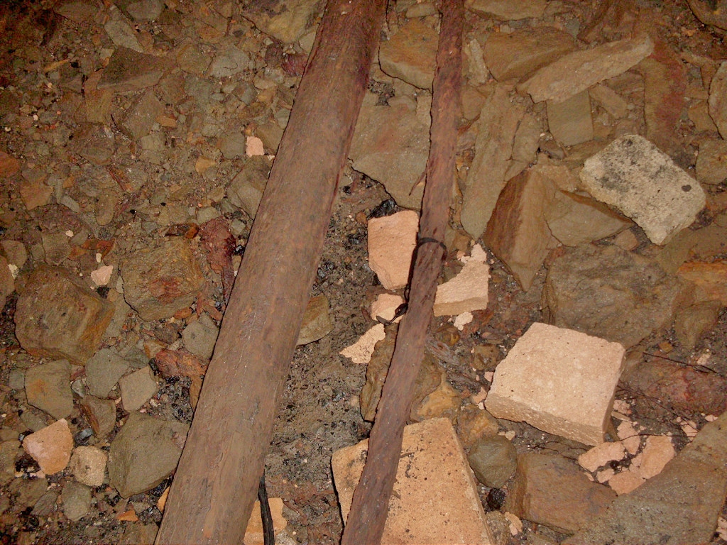
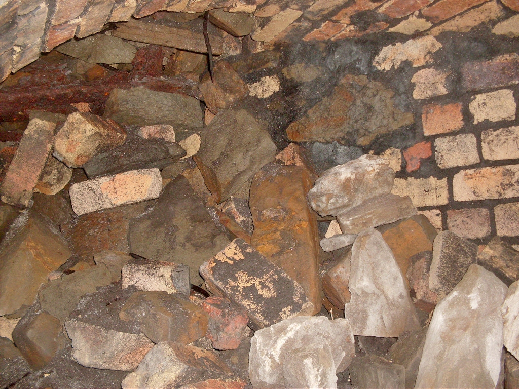
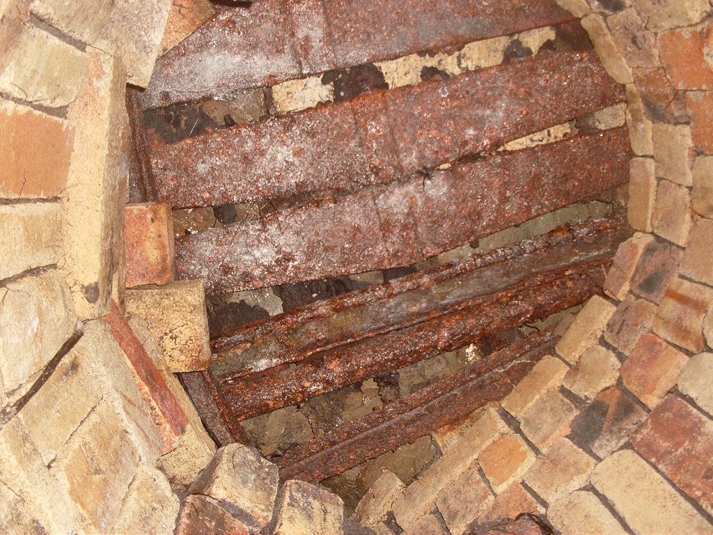
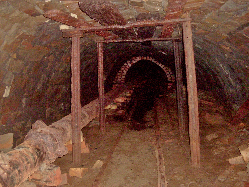
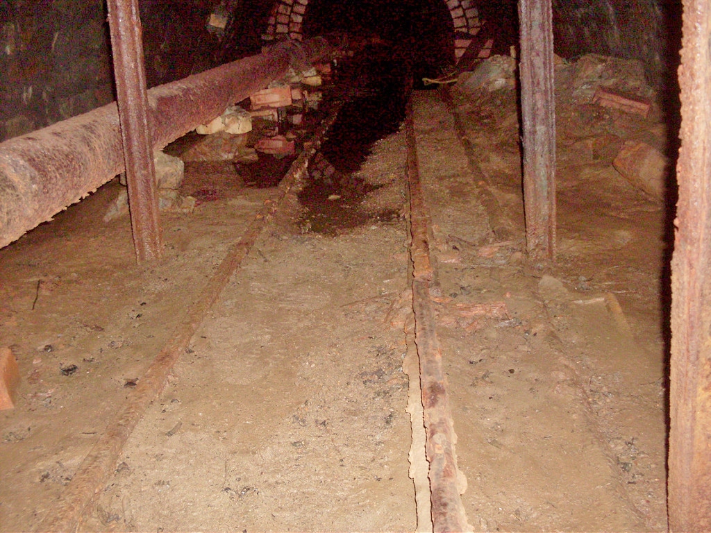
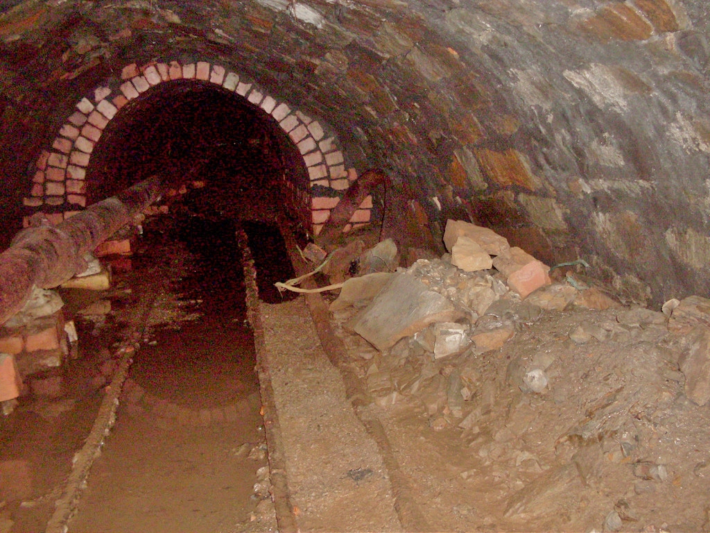
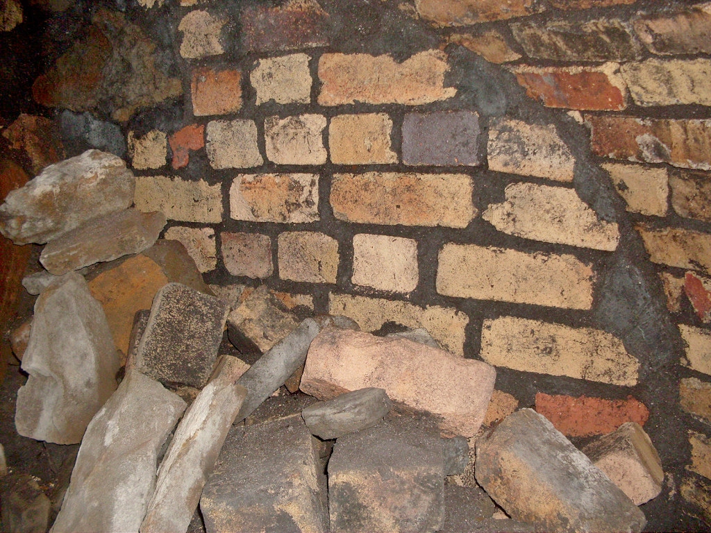
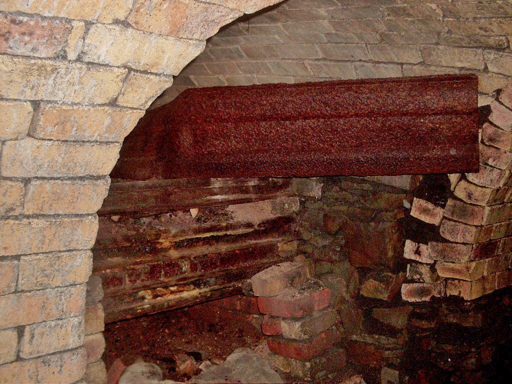
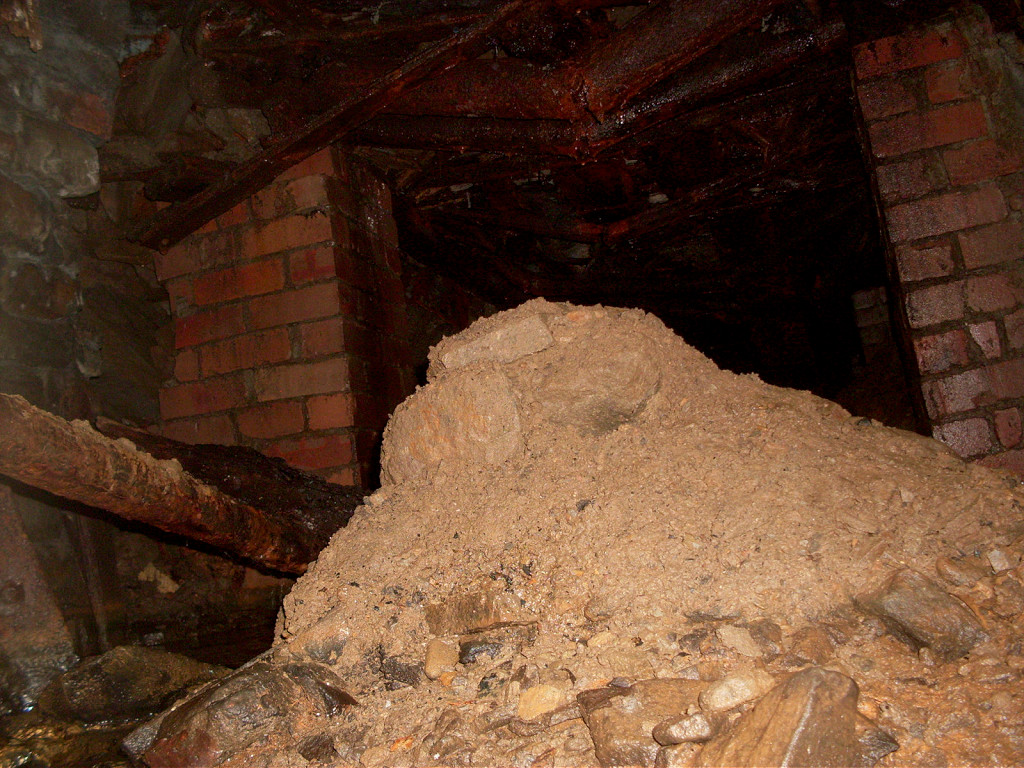
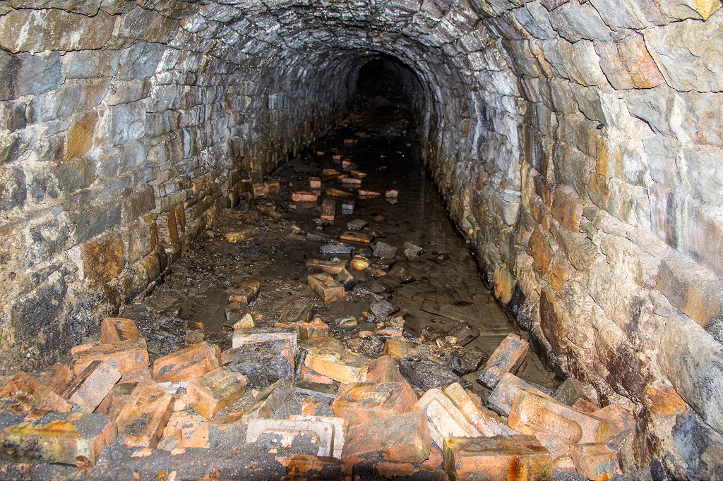
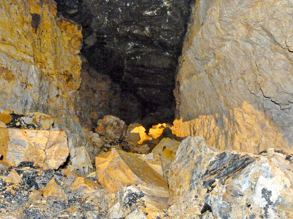
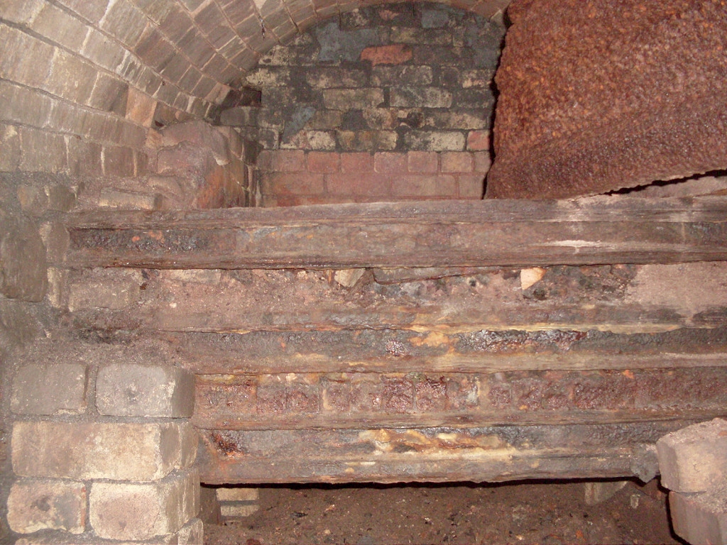 Upcast level interior |
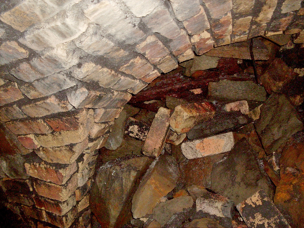
 Upcast level interior |
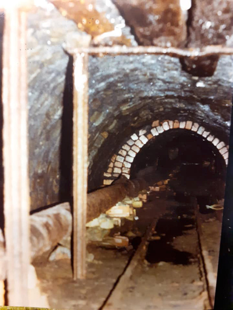
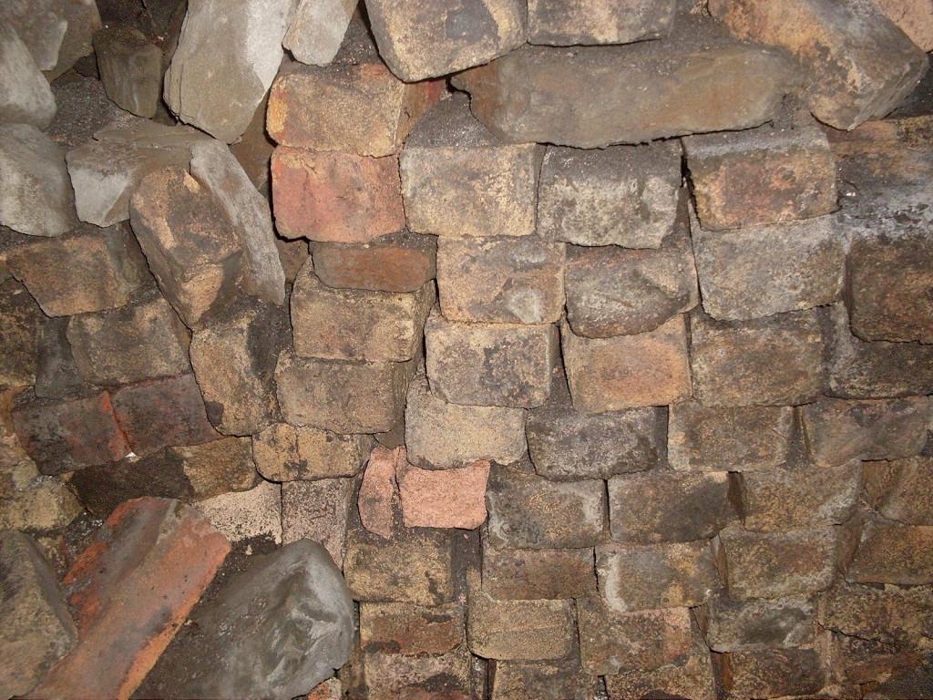
 Upcast level interior |
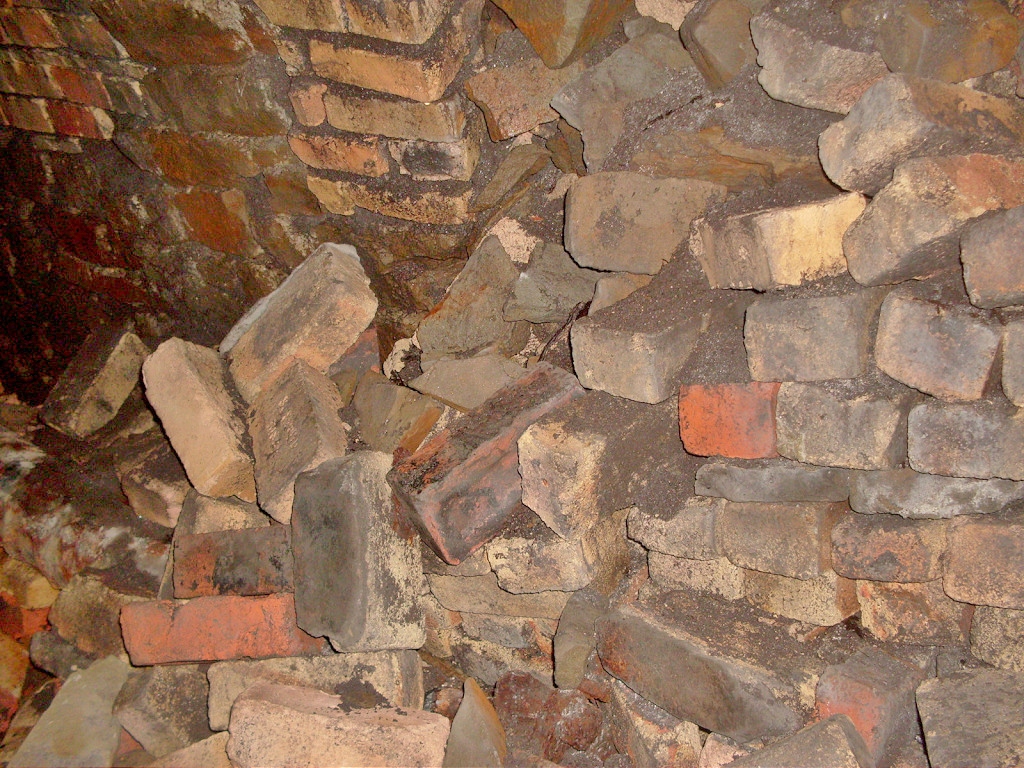
 Upcast level interior |
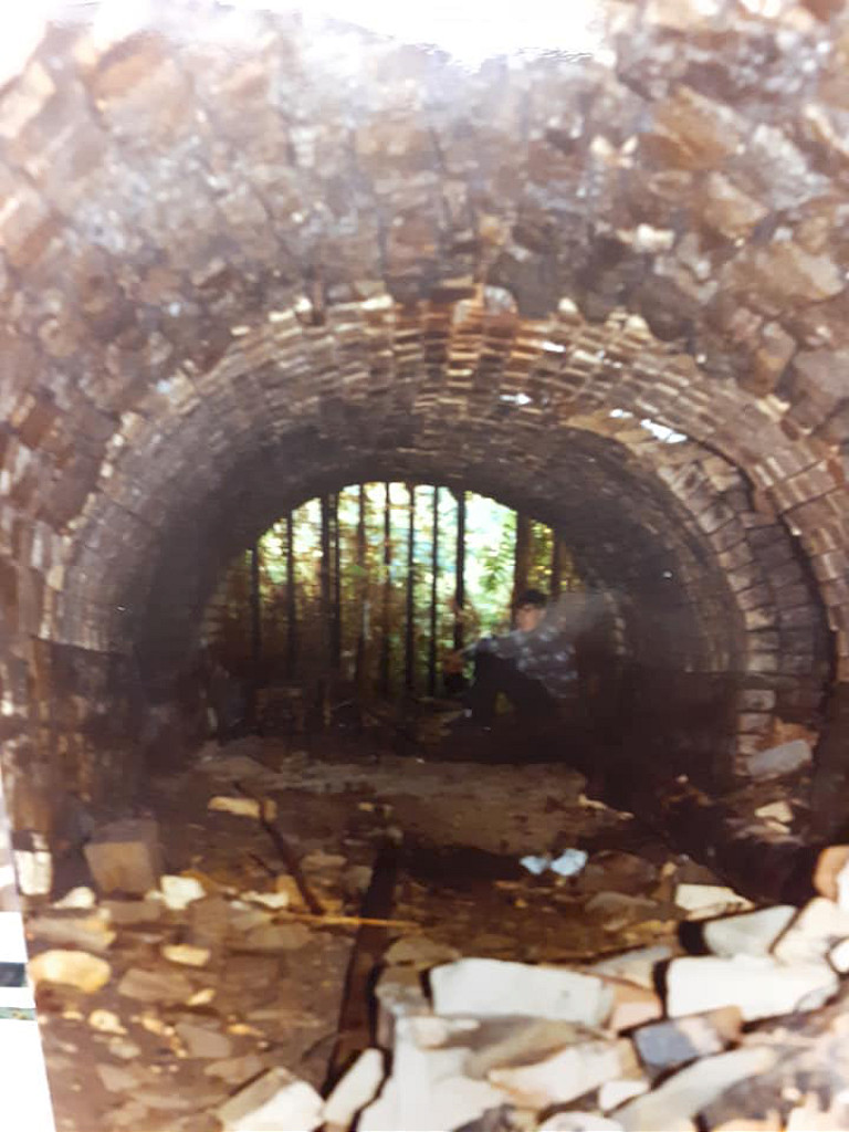
 Upcast level interior |
 Upcast level interior |
 Upcast level interior |
 Upcast level interior |
 Upcast level interior |
 Upcast level interior |
 Upcast level interior |
 Upcast level interior |
 Upcast level interior |
 Upcast level interior |
 Upcast level interior |
 Upcast level interior |
 Upcast level interior |
 Upcast level interior |
 Upcast level interior |
 Upcast level interior |
 Upcast level interior |
 Upcast level interior |
 Upcast level interior |
 Upcast level interior |
 Upcast level interior |
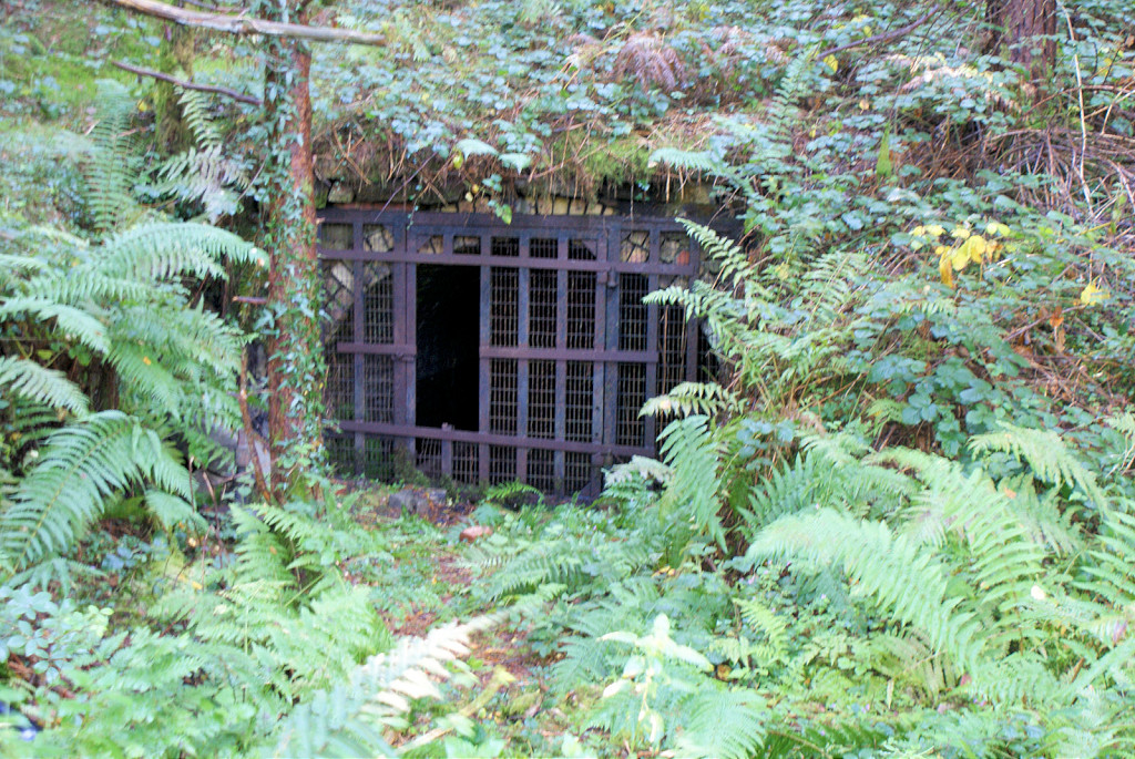
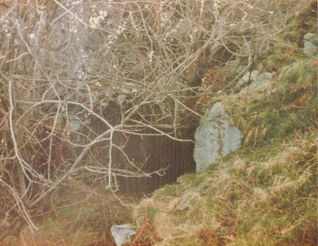
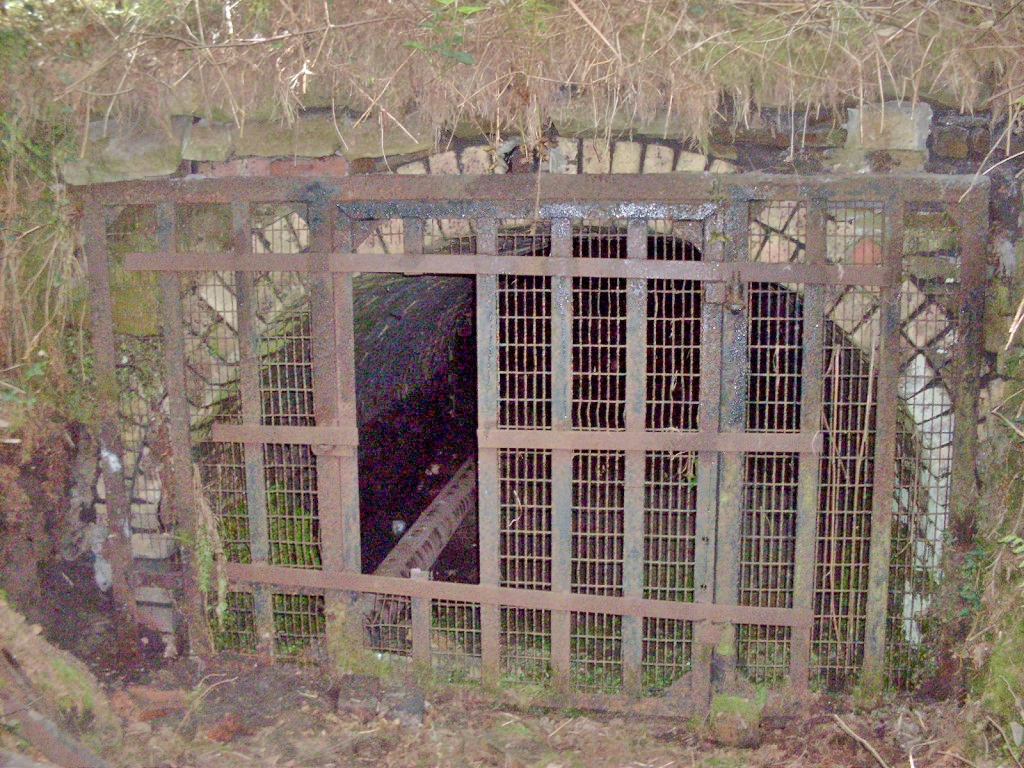 Upcast level's tatty old gate |
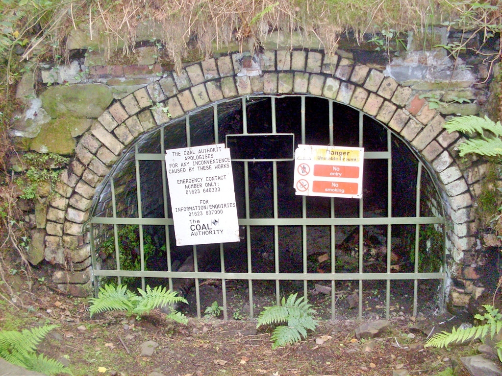 Upcast level's shiny new gate |
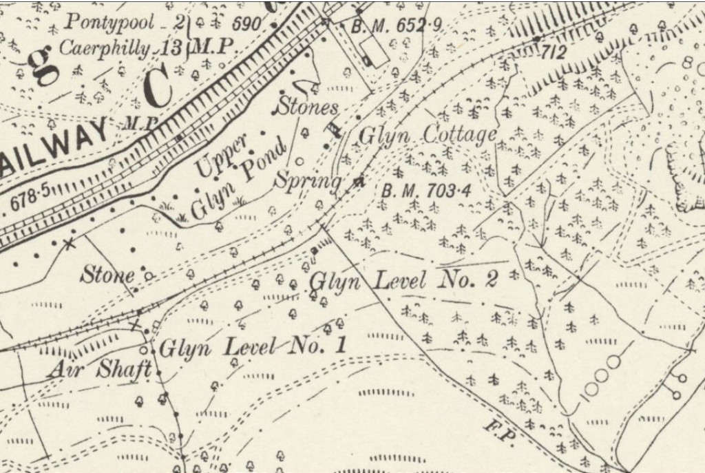 Glyn Levels '1' and '2', 1898 |
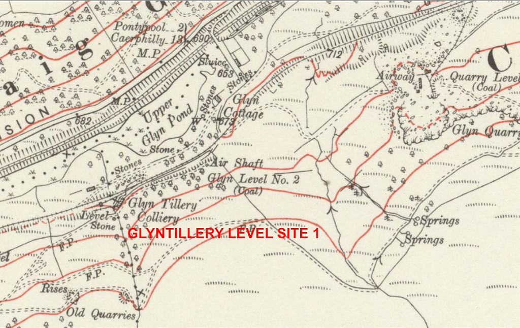 Glyn Levels '1' and '2', 1916 |
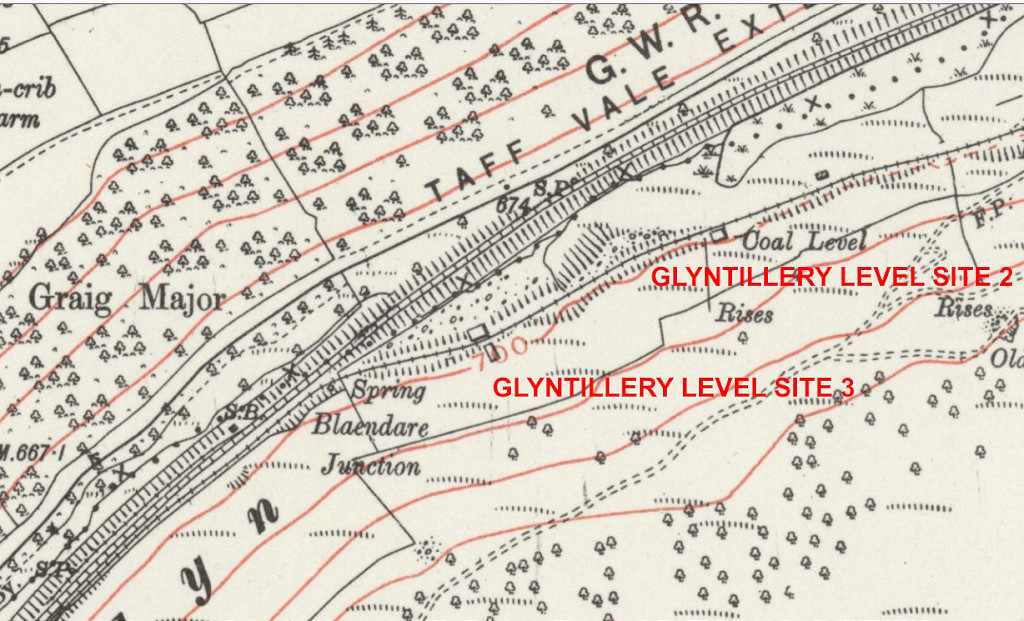 Glyntillery Levels '2' and '3', 1938 |
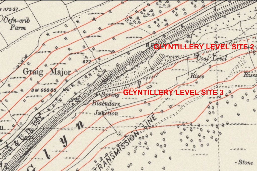 Glyntillery Levels '2' and '3', 1948 |
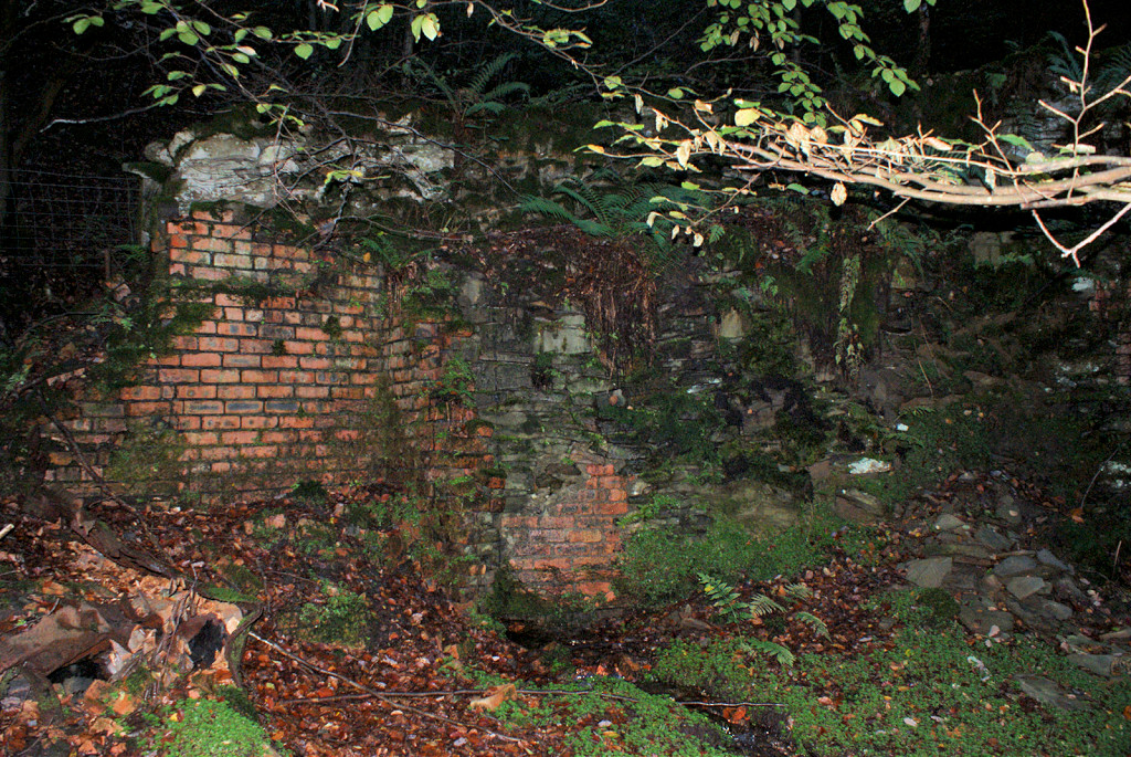
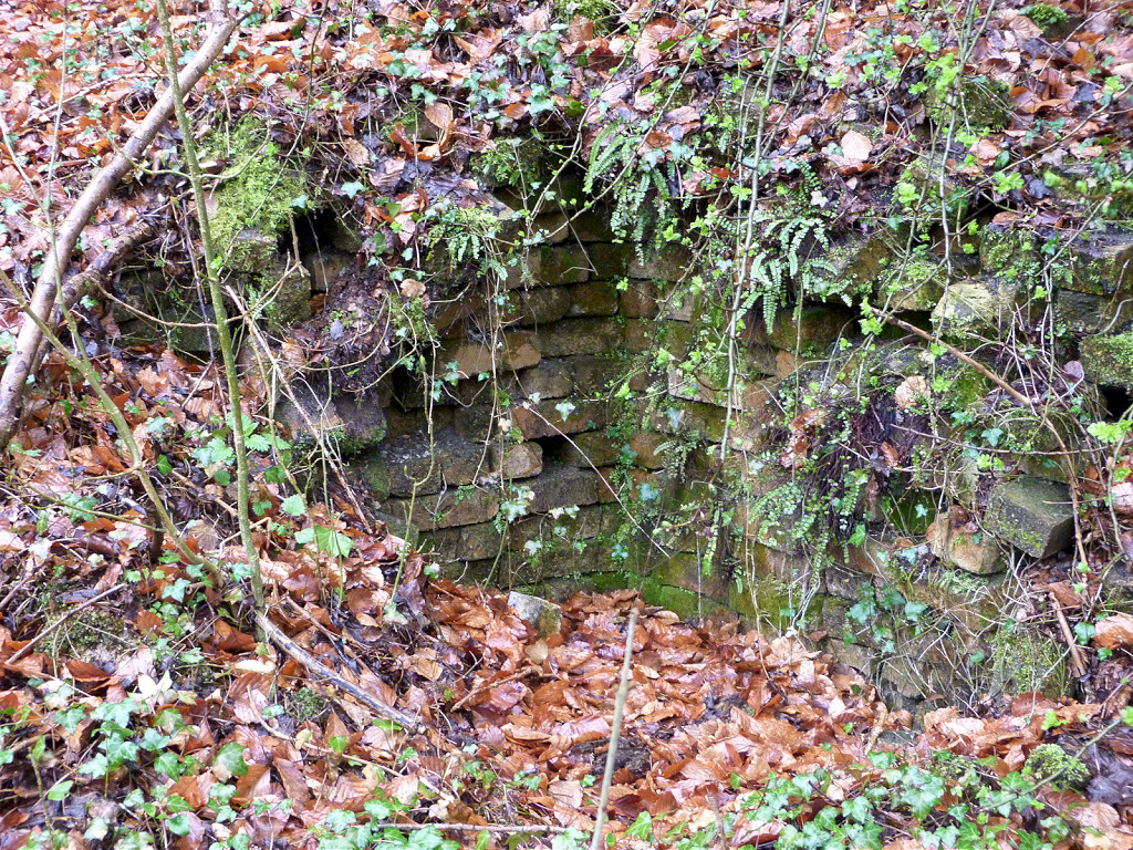
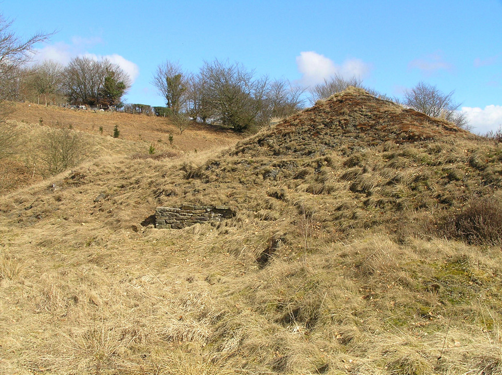
 Glyn Level no 1 |
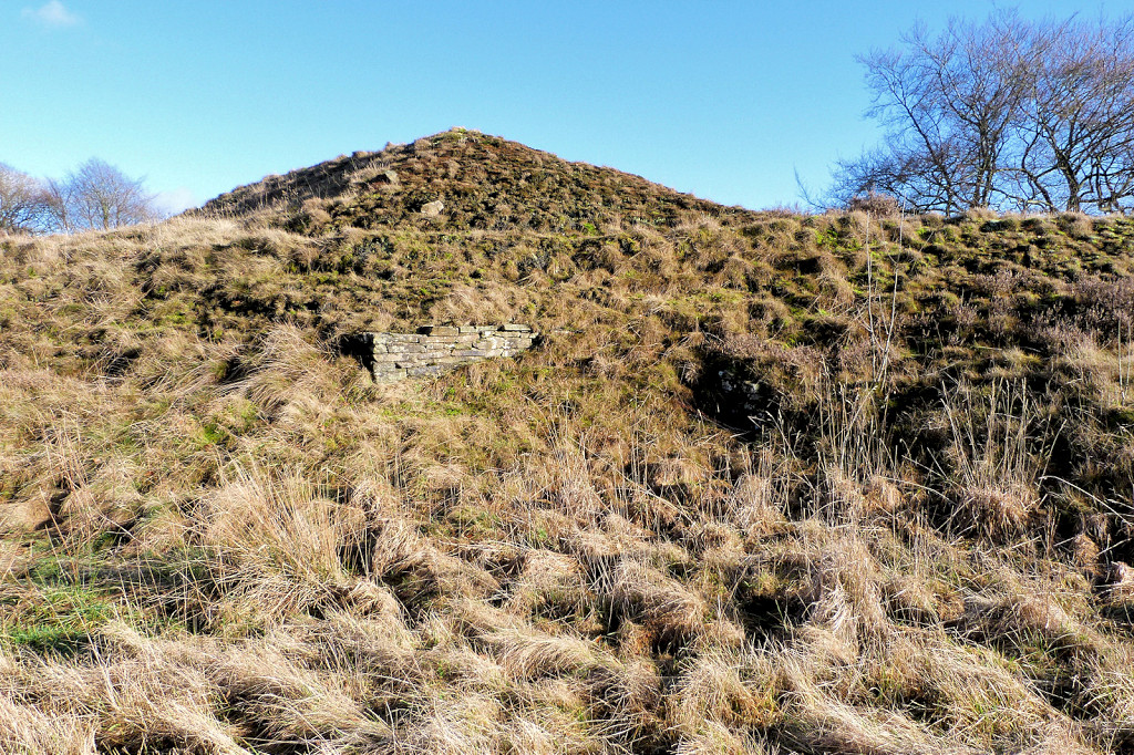
 Glyn Level no 1, upcast level |
 Glyn Level no 1, upcast level |
|
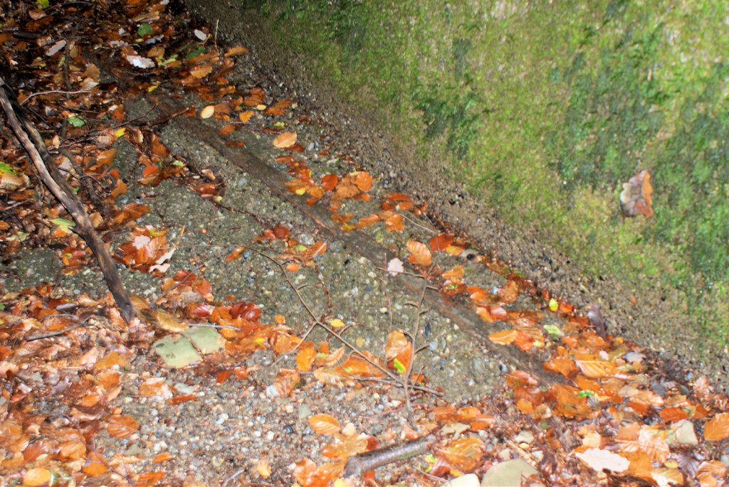
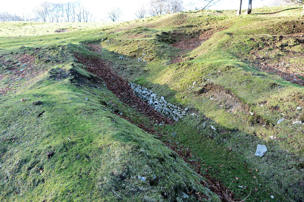
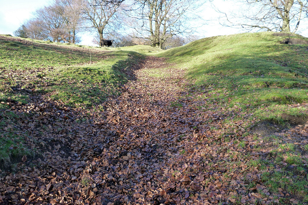
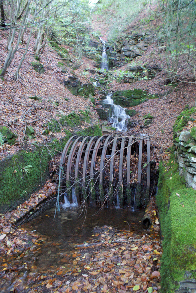 Glyn Level no 1 drainage channel |
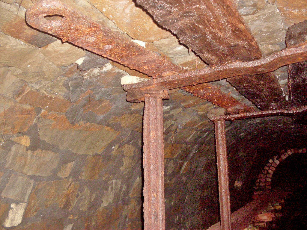
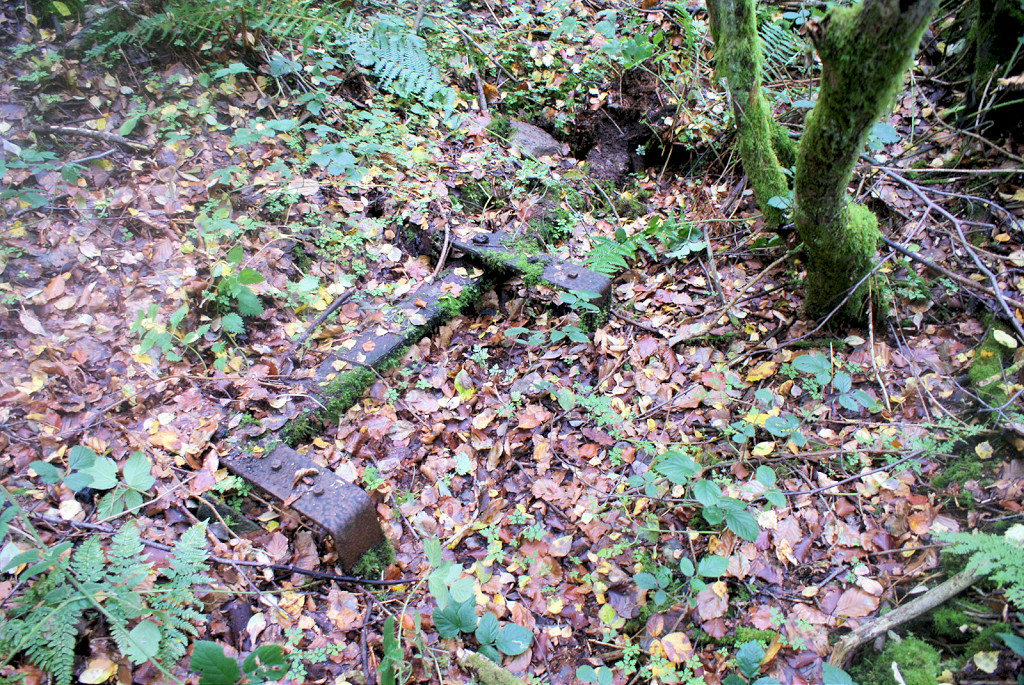 Glyn Level no 1, dram frame |
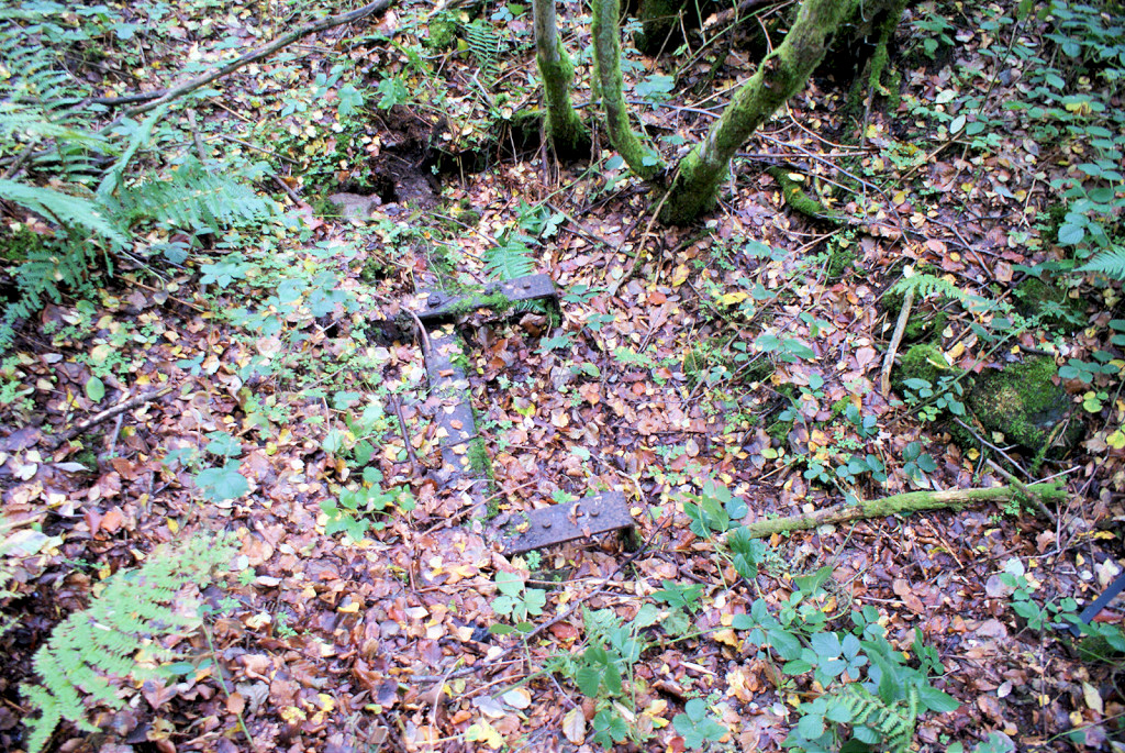 Glyn Level no 1, dram frame |
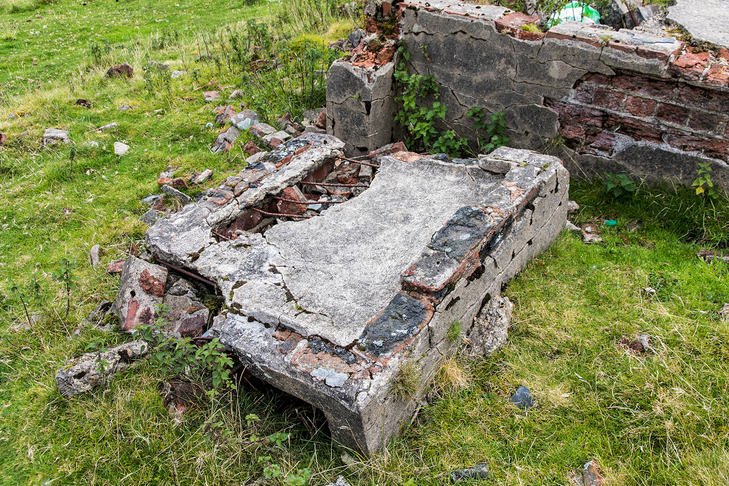
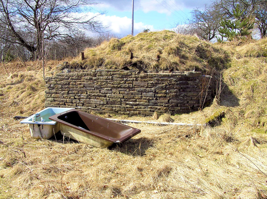
 Foundations (of furnace?) |
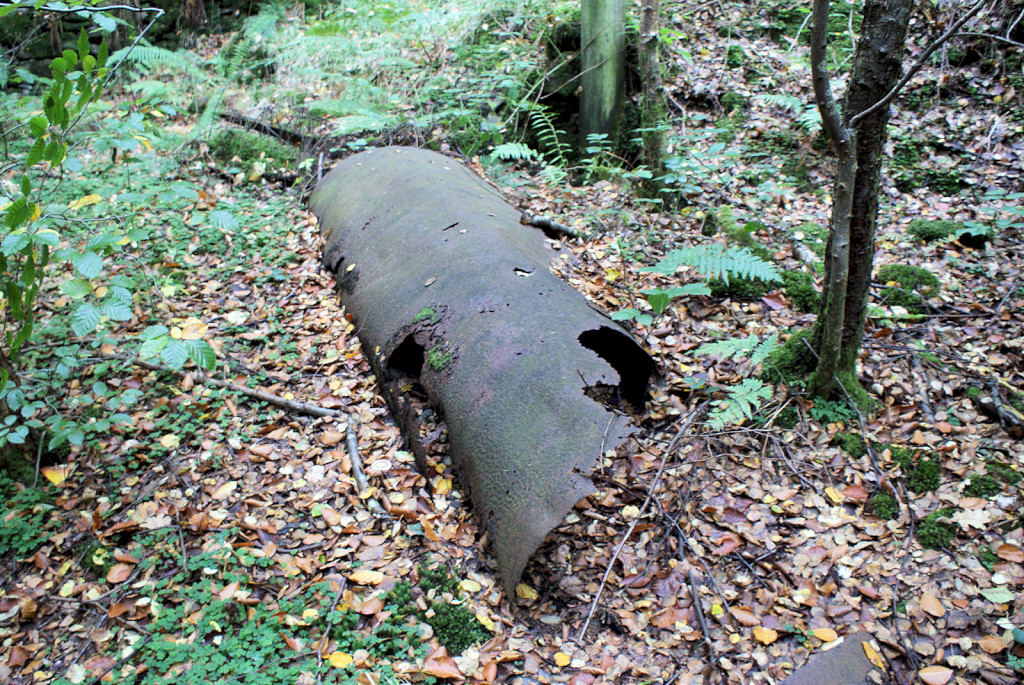 Iron pipe (furnace flue?) |
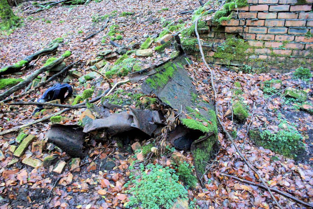 Ironwork (dram body?) |
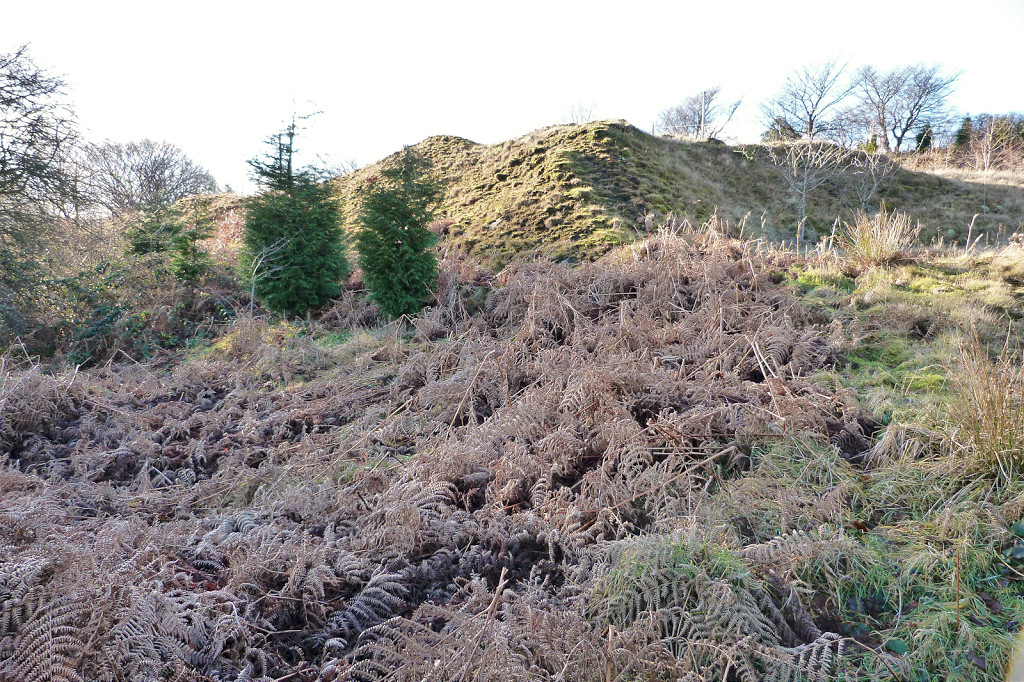
 Glyn Level no 1, Lefthand view |
 Glyn Level no 1, Lefthand view |
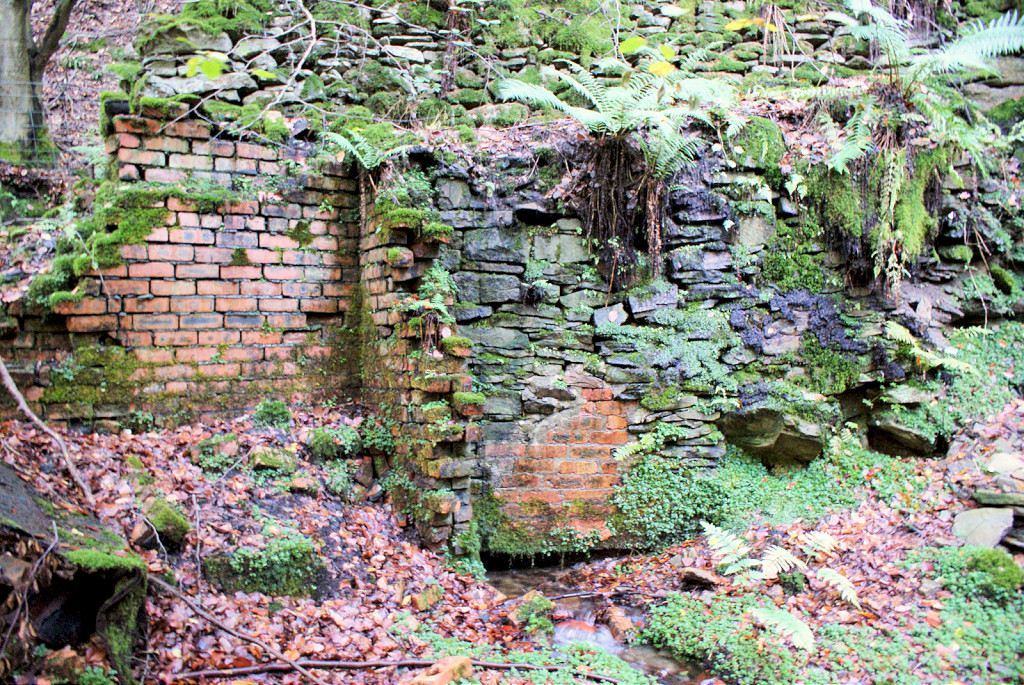 Glyn Level no 1, Lefthand view |
 Glyn Level no 1, Lefthand view |
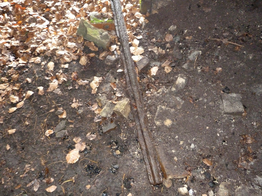
 Rail above level entrance |
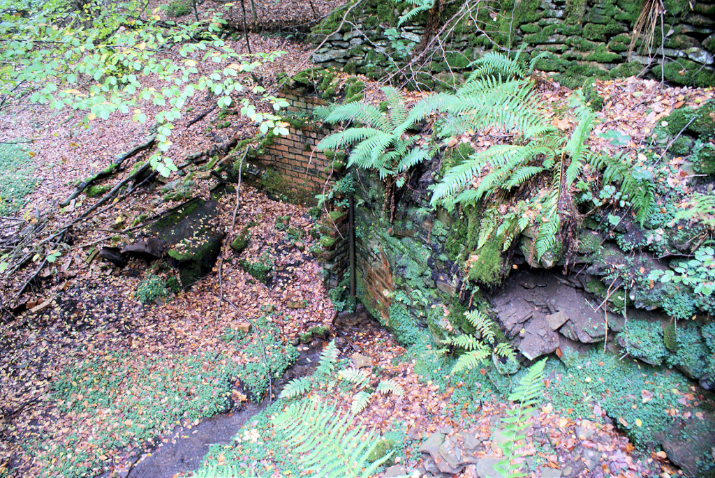
 Glyn Level no 1, Righthand view |
 Glyn Level no 1, Righthand view |
 Glyn Level no 1, Righthand view |
 Glyn Level no 1, Righthand view |
 Glyn Level no 1 interior |
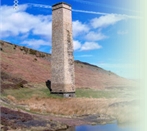
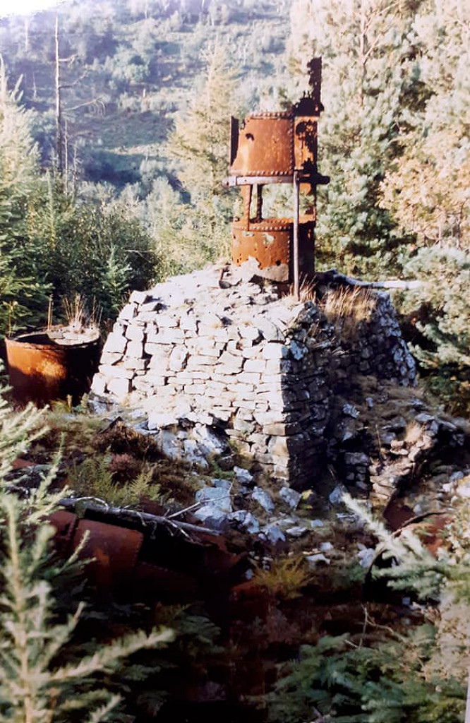
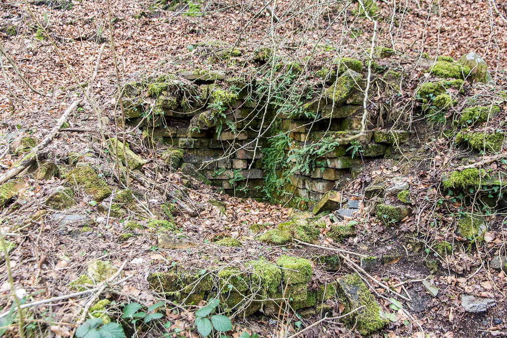 Glyn Level no 2 chimney |
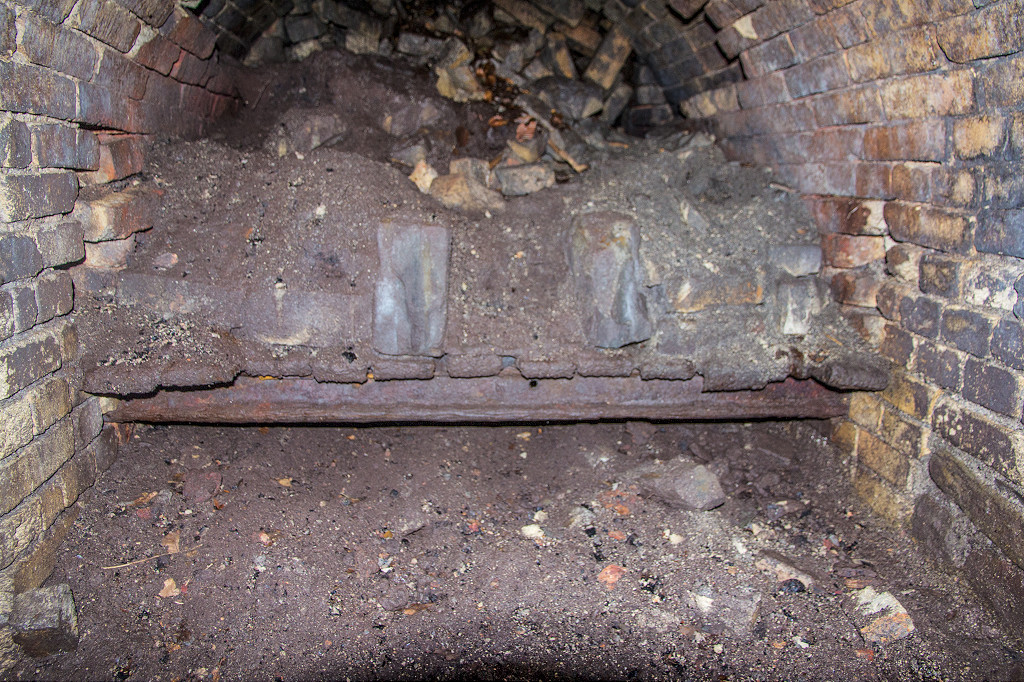 Glyn Level no 2 furnace |
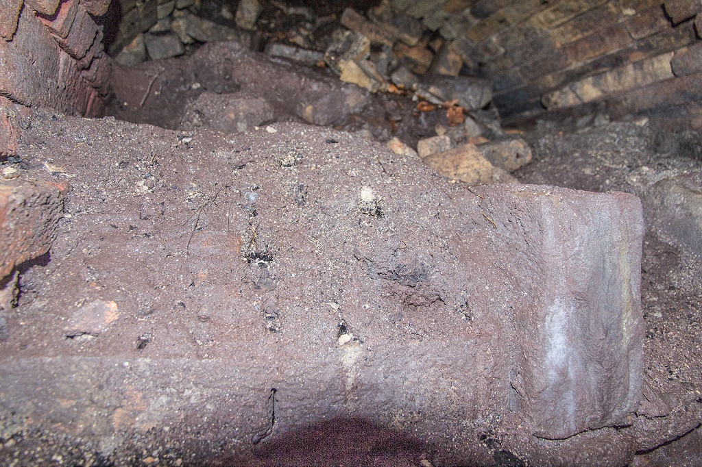 Glyn Level no 2 furnace |
 Glyn Level no 2 furnace |
 Glyn Level No 2 |
 Glyn Level No 2 |
 Glyn Level No 2 |
 Glyn Level No 2 furnace flue |
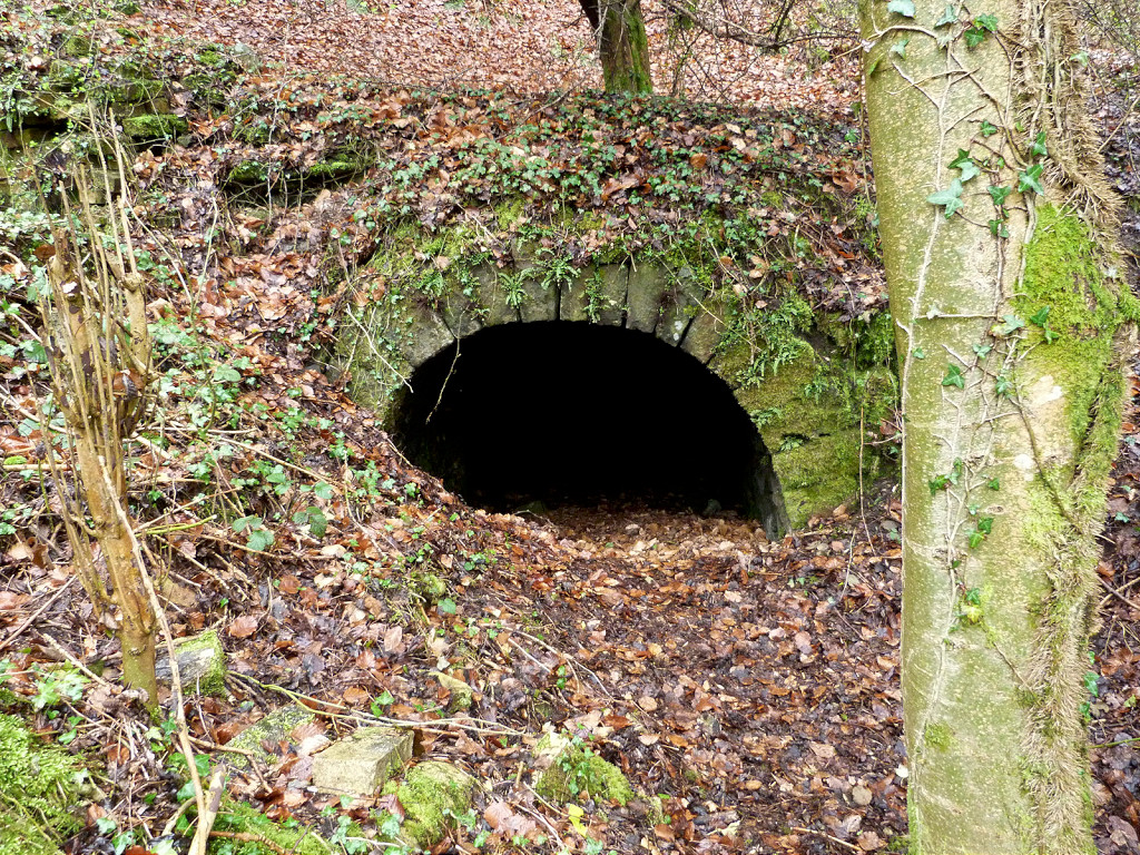
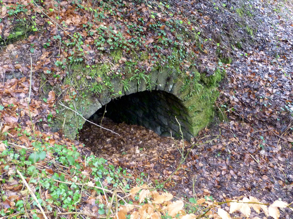
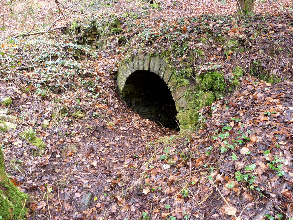
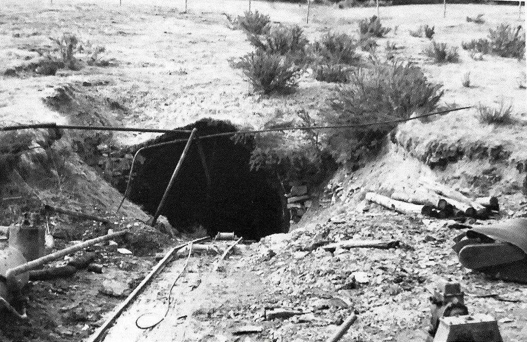
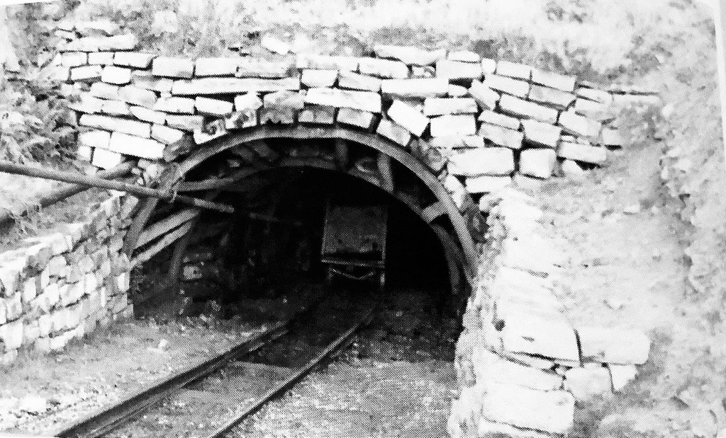
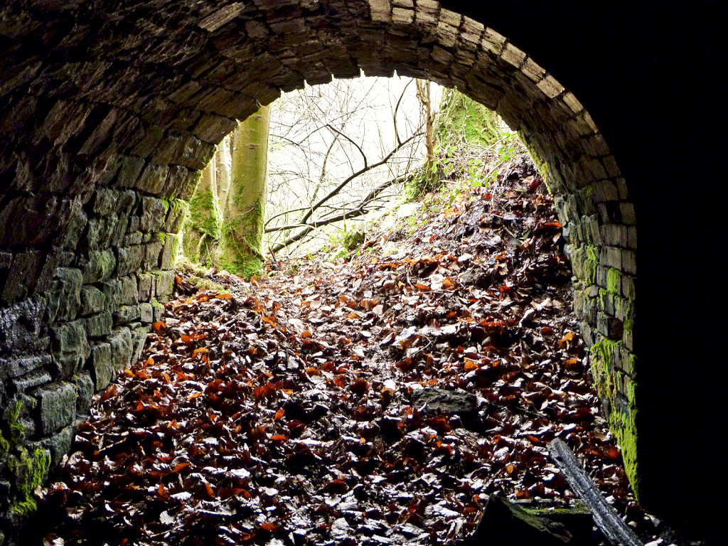 Glyn Level No 2 entrance |
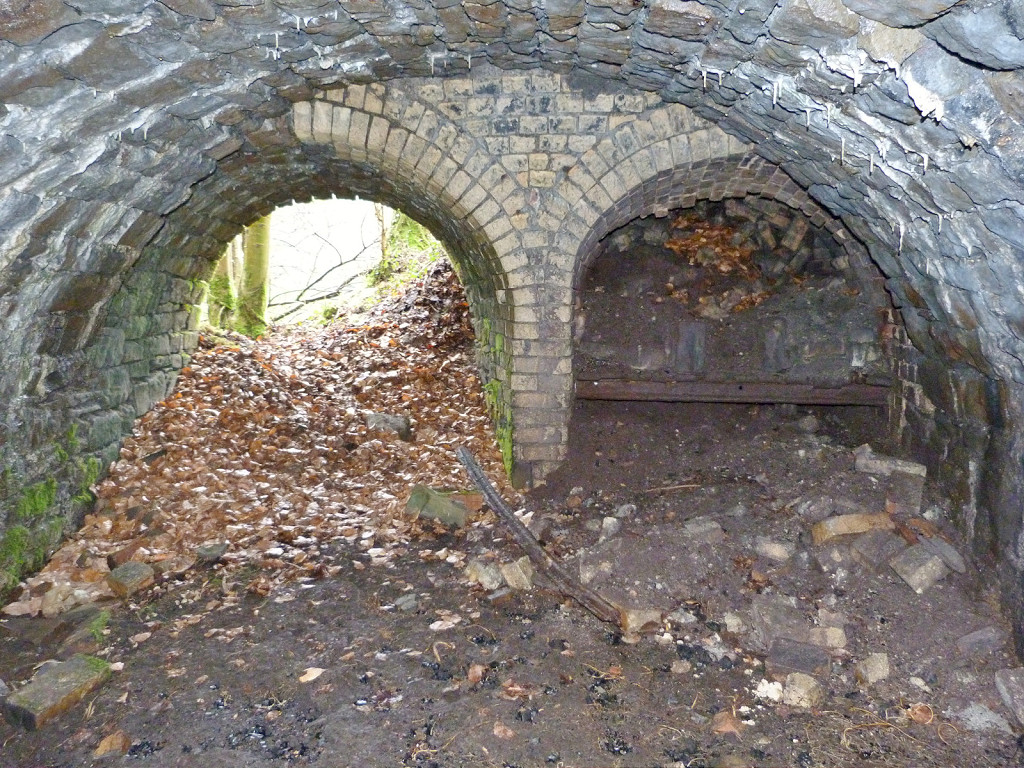 Glyn No 2 entrance and furnace |
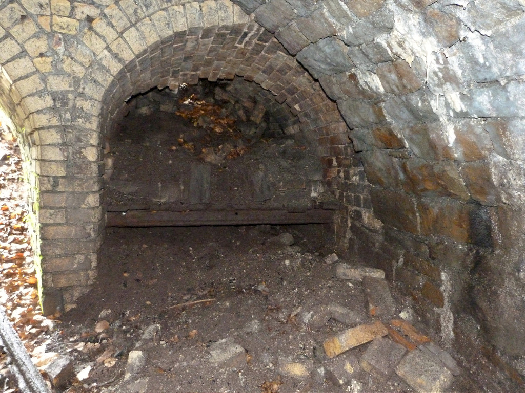 Glyn Level No 2 furnace |
 Glyn Level No 2 interior |
 Glyn Level No 2 interior |
 Glyn Level No 2 rail |
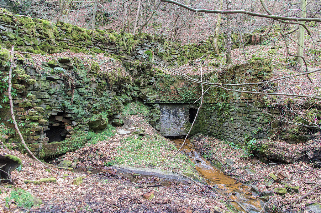
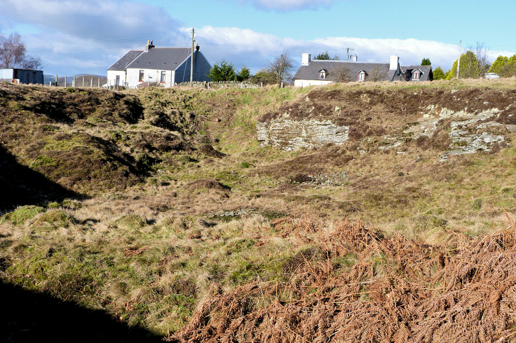
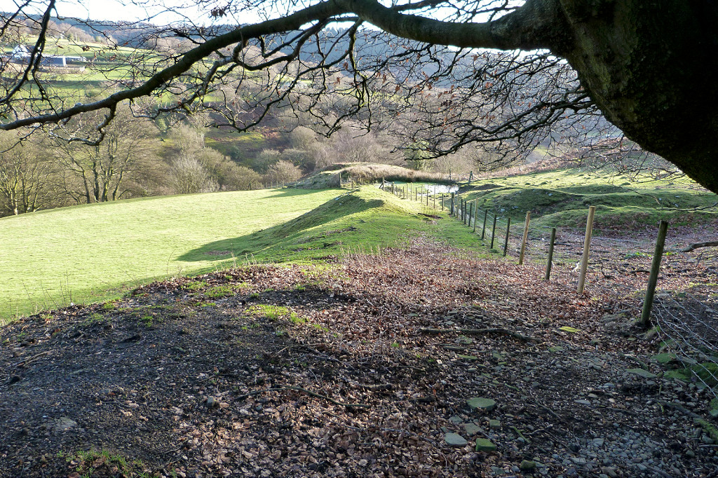
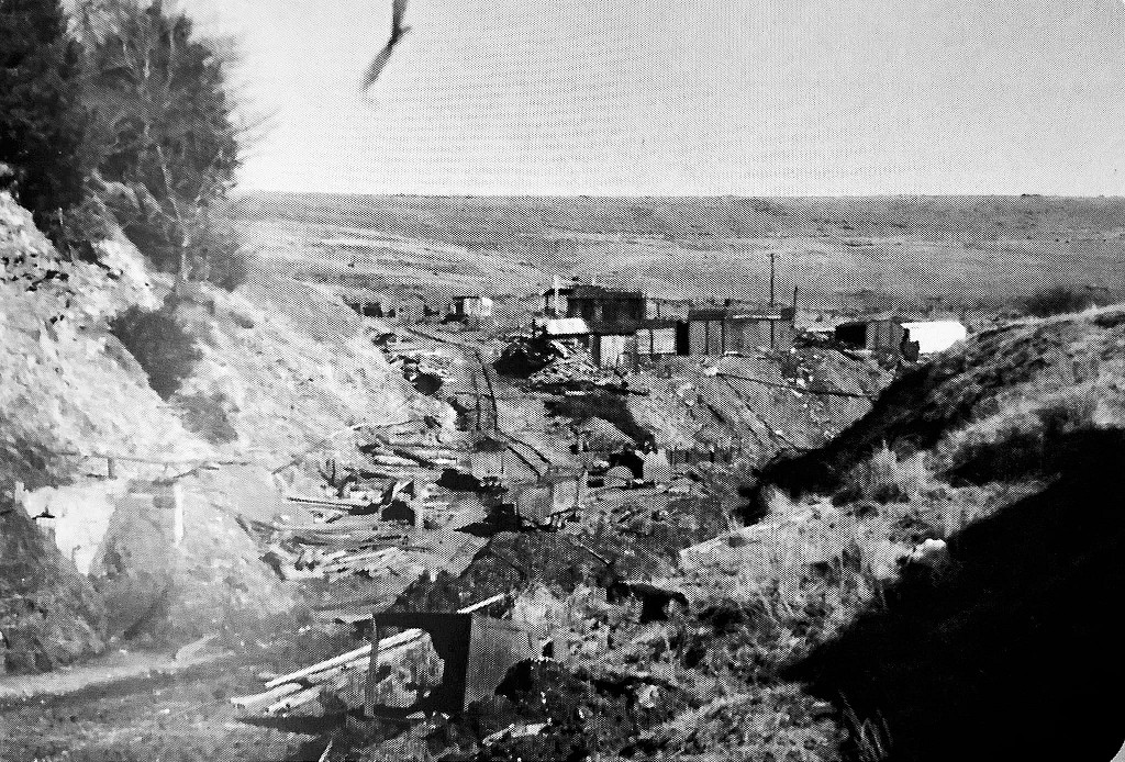
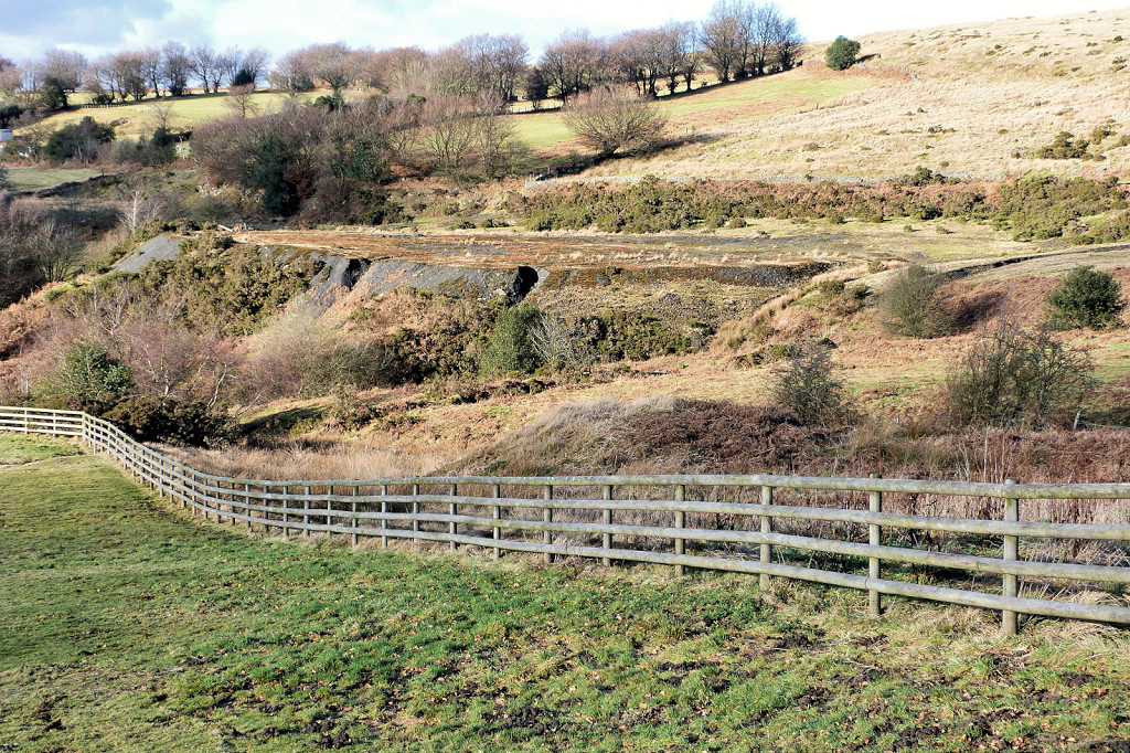
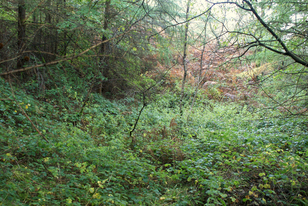 Glyntillery Level, 2nd site |
 Glyntillery Level, 2nd site |
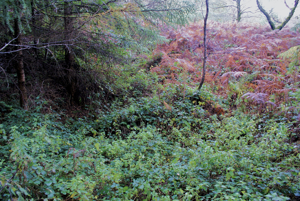
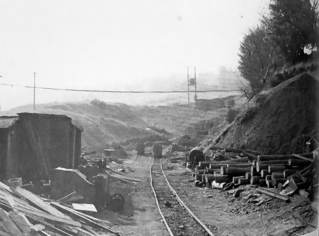
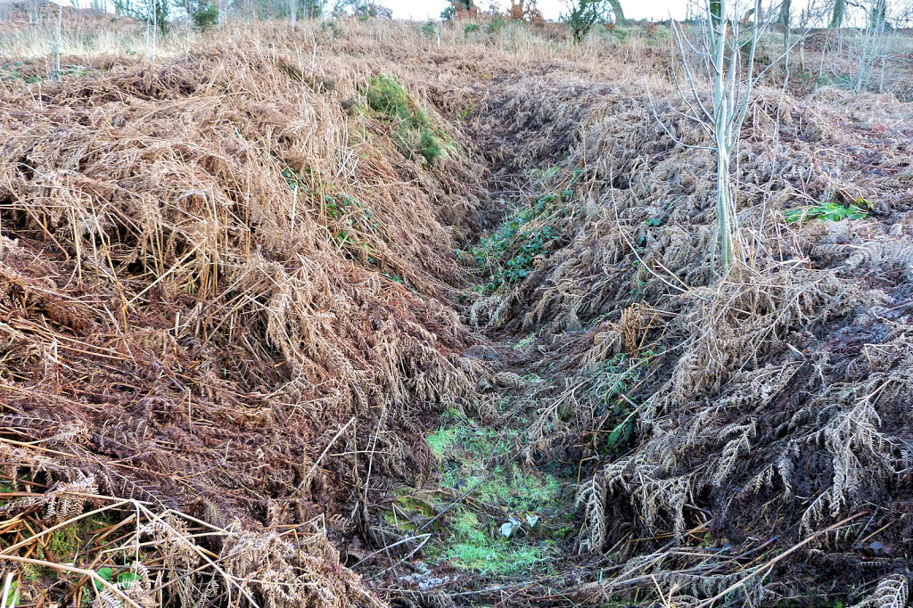
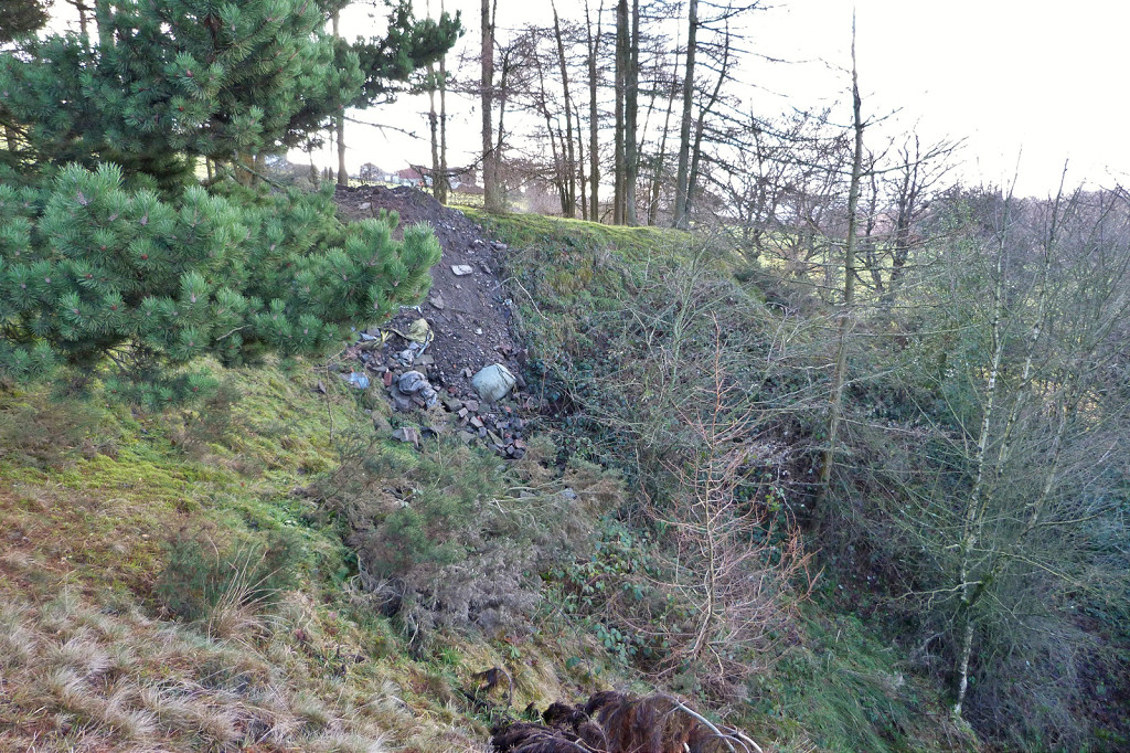
 Glyntillery Level, 2nd site tips |
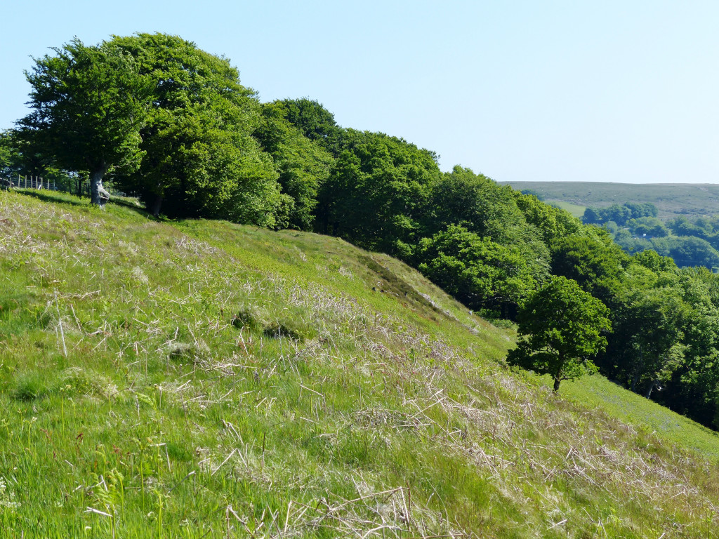
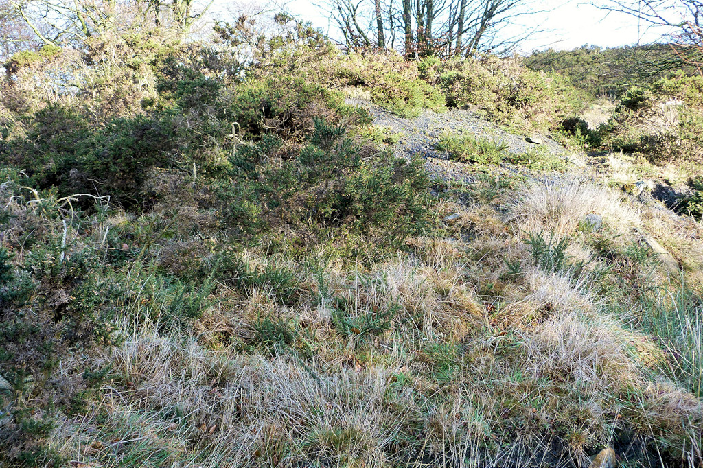
 Glyntillery Level, 3rd site |
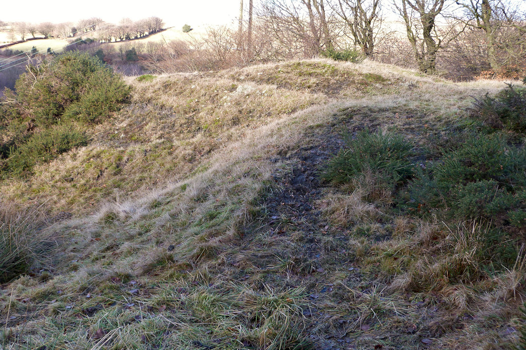
 Glyntillery Level, 3rd site and 'Glendower' |
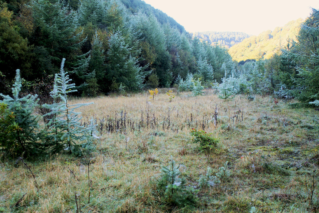
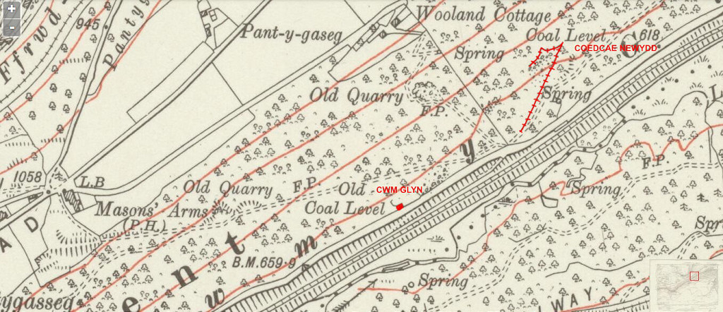 Cwm Glyn and Coedcae Newydd |
 Coedcae Newydd Colliery |
 Coedcae Newydd Colliery |
 London Gazette entry, April 1904 |
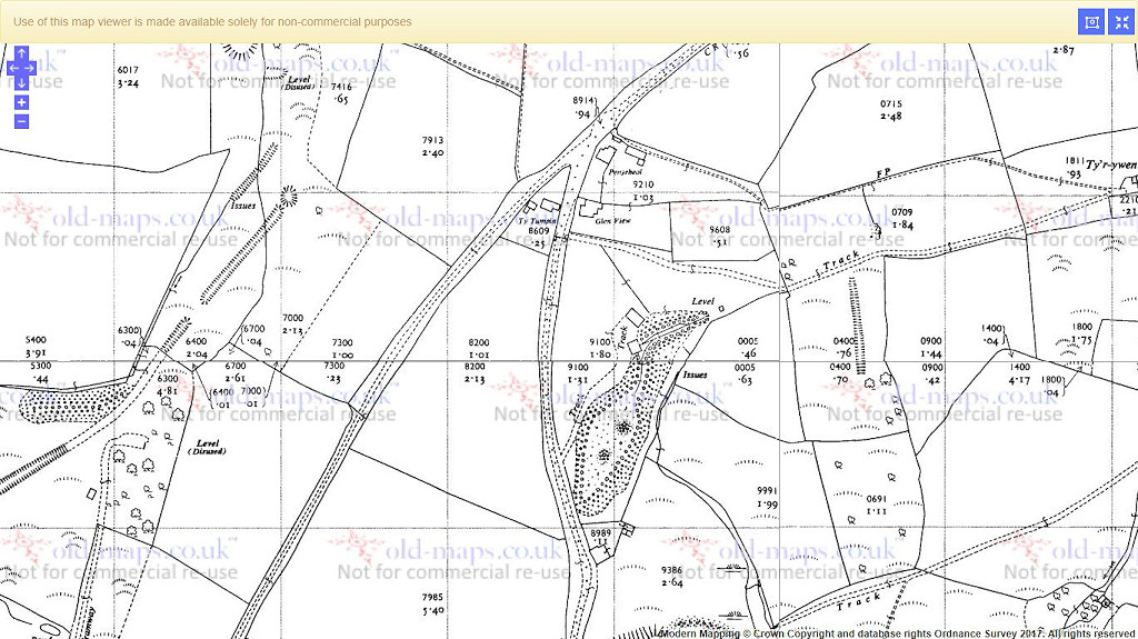
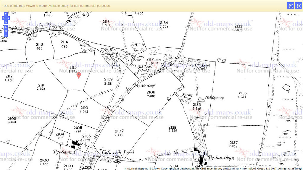
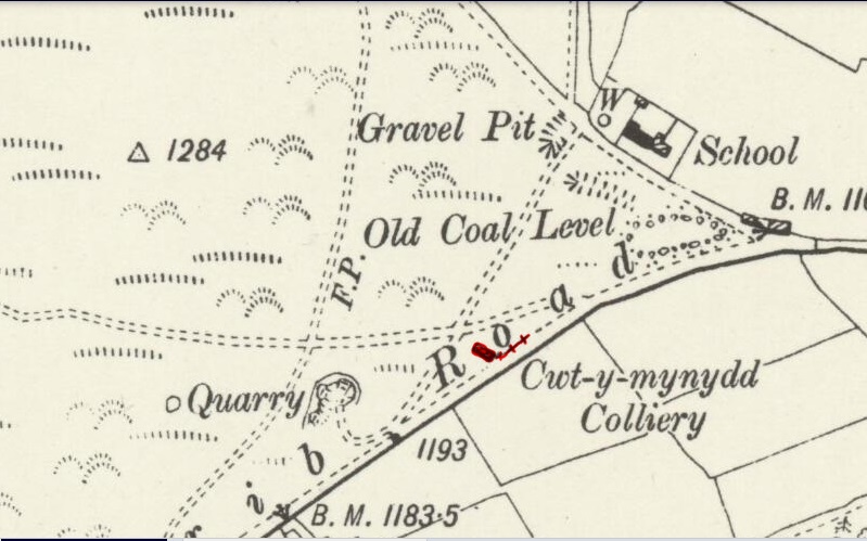 Cwt-y-mynydd Colliery, 1901 |
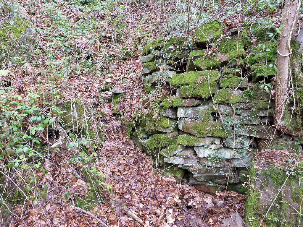
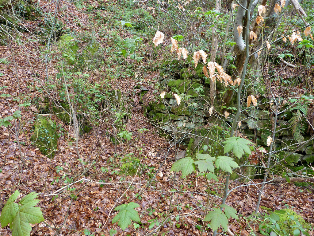
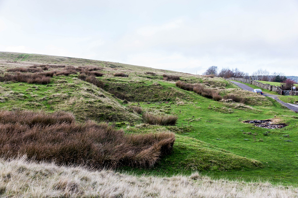 Cwt-y-Mynydd Colliery |
 Cwt-y-Mynydd Colliery |
 Cwt-y-Mynydd Colliery |
 Cwt-y-Mynydd Colliery |
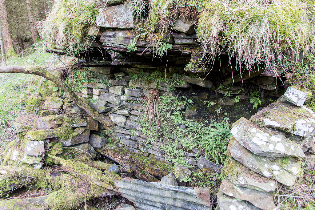
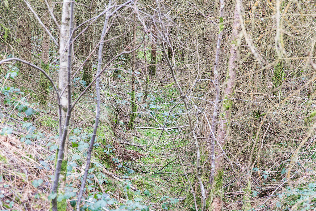
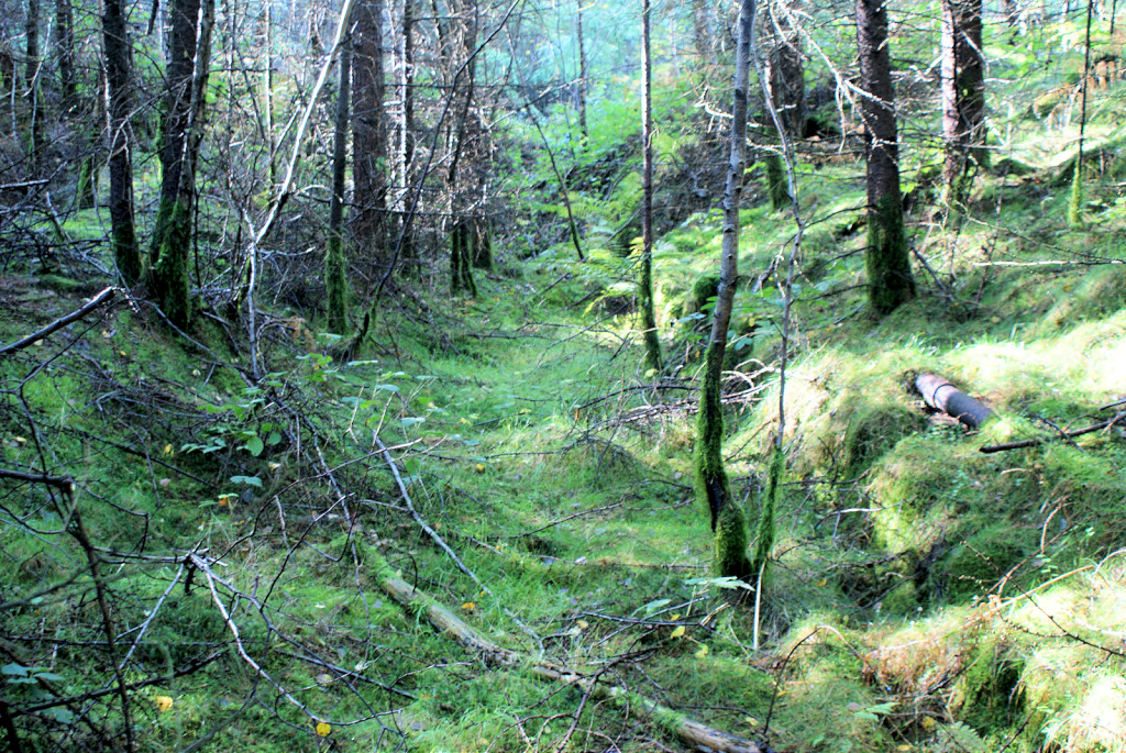
 Tir Shon Shenkin level |
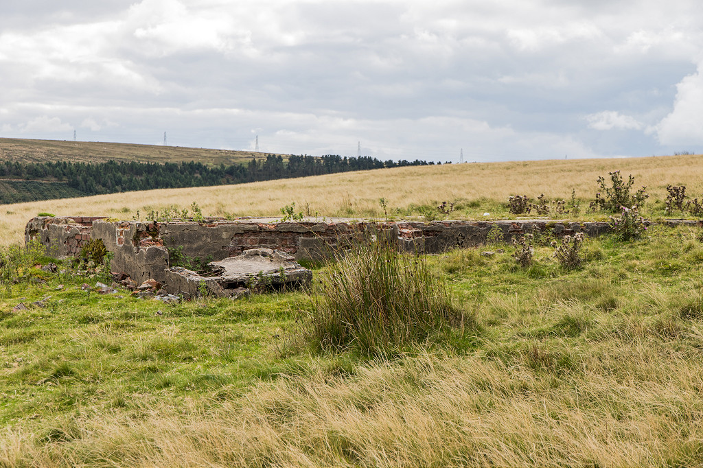
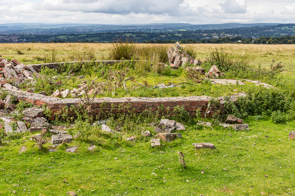 The octagonal building |
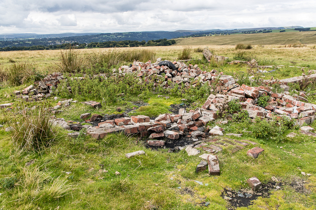 The octagonal building |
 The octagonal building |
 The octagonal building |
 The octagonal building |
 The octagonal building |
||
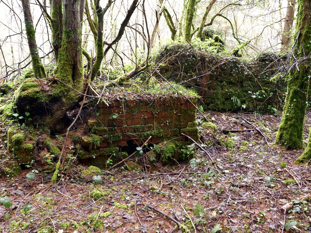
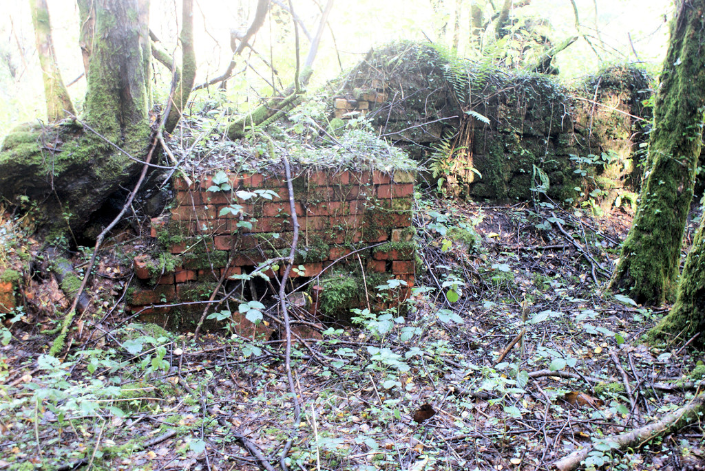
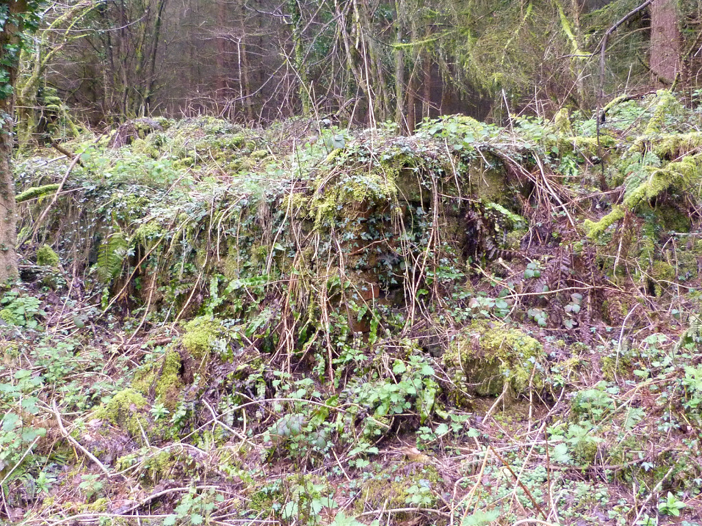
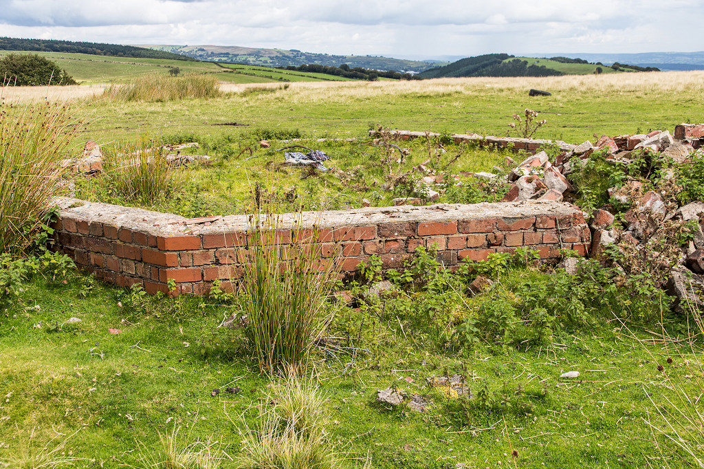
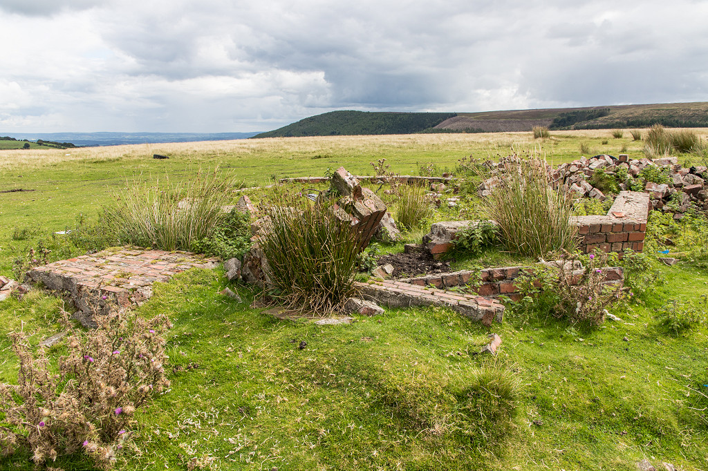
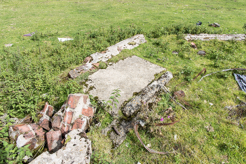
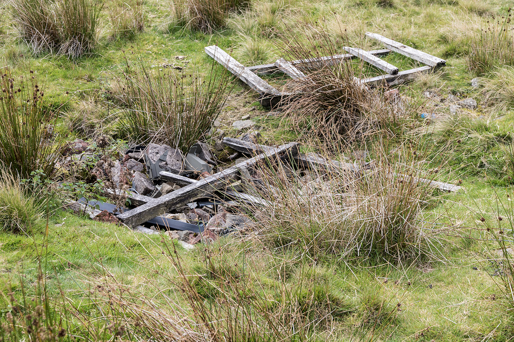
 The rectangular building |
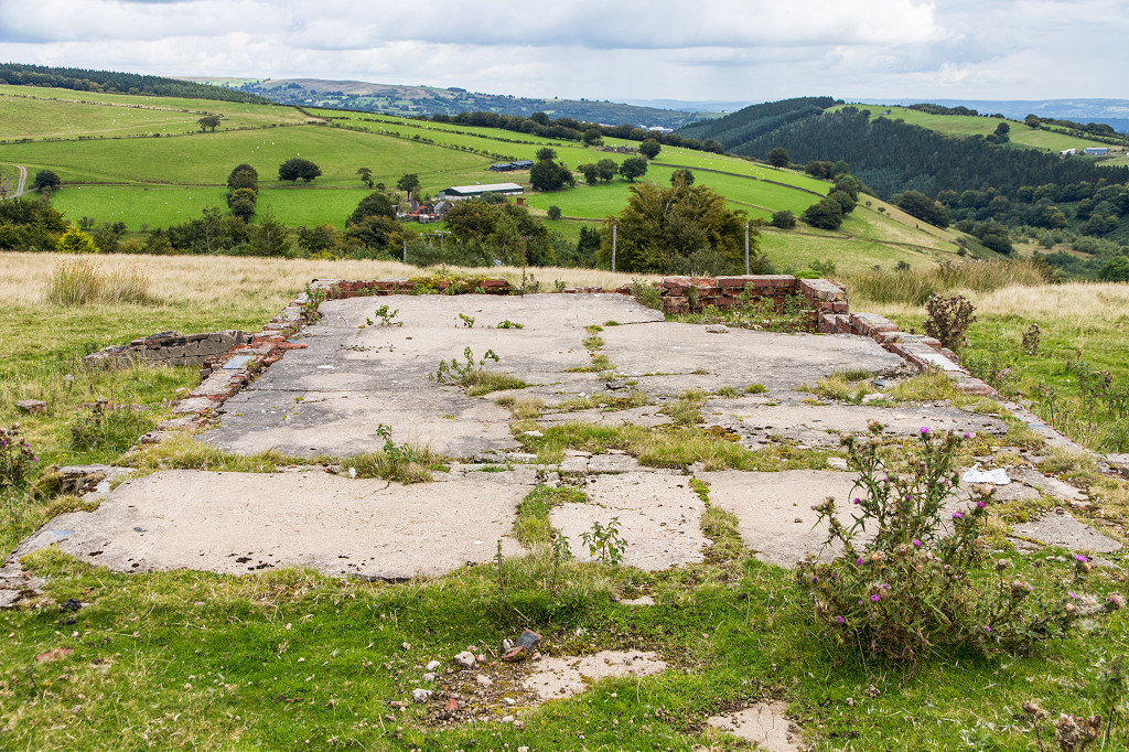 The rectangular building |
 The rectangular building |
 Cefn Crib Colliery, North, 1880 |
 Cefn Crib Colliery, South, 1880 |
 Cefn Crib Colliery incline |
 Cefn Crib Colliery incline top |
 Cefn Crib Colliery incline top |
 Cefn Crib Colliery incline top |
 Cefn Crib Colliery incline top |
 Cefn Crib Colliery tramway |
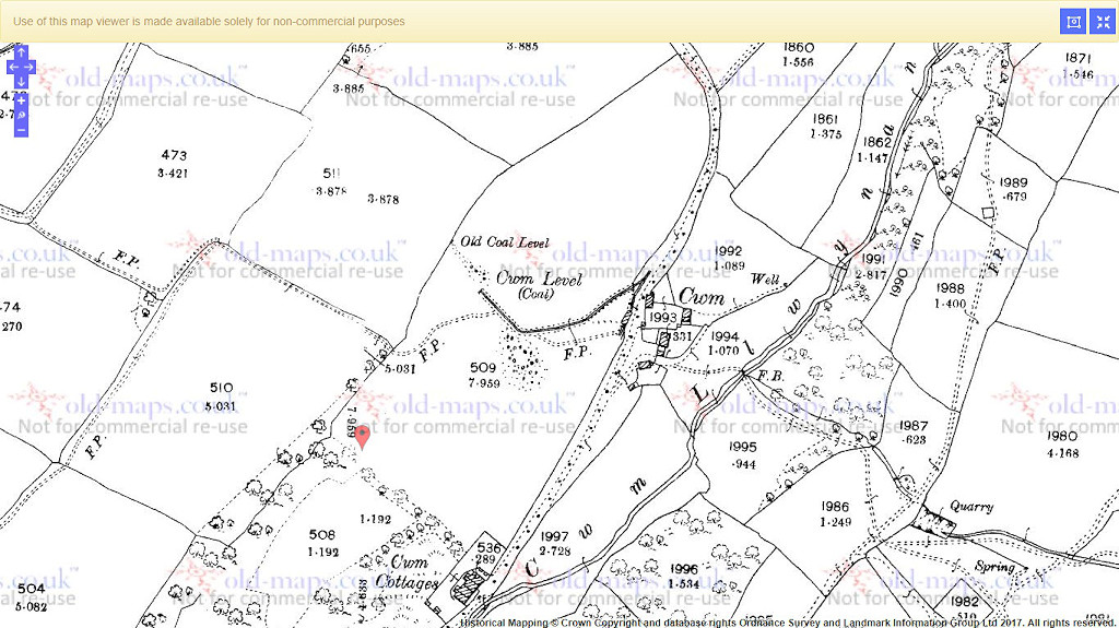 Cwm Level, 1901 |
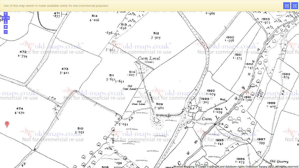 Cwm Level, 1920 |
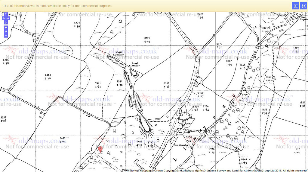 Cwm Level, 1962 |
|
 Cwm Level lower level |
 Cwm Level middle level |
 Cwm Level middle level |
 Cwm Level top level |
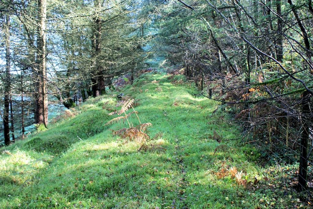
 Tramway from lower levels |
 Tramway from top level |
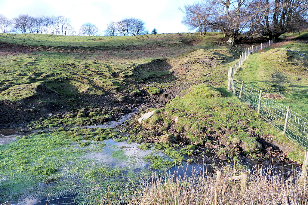
 Cwm Level tips |
 Penyrheol Colliery, 1962 |
 Penyrheol Colliery c1970-80 |
 Penyrheol Colliery c1970-80 |
 Penyrheol Colliery c1970-80 |
 Penyrheol Colliery c1970-80 |
 Penyrheol Colliery c1970-80 |
 Penyrheol Colliery c1970-80 |
 Penyrheol Colliery c1970-80 |
 Penyrheol Colliery |
 Penyrheol Colliery |
 Penyrheol Colliery |
 Penyrheol Colliery |
 Penyrheol Colliery |
 Penyrheol Colliery |
 Penyrheol Colliery |
 Penyrheol Colliery |
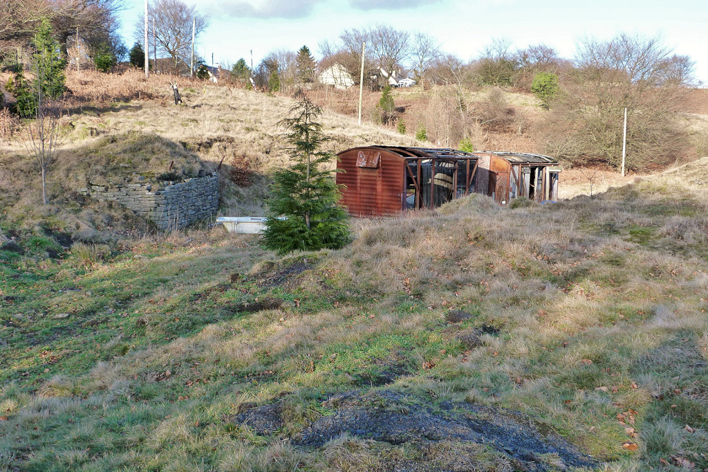
 Lower level, Heol Cochwydd |
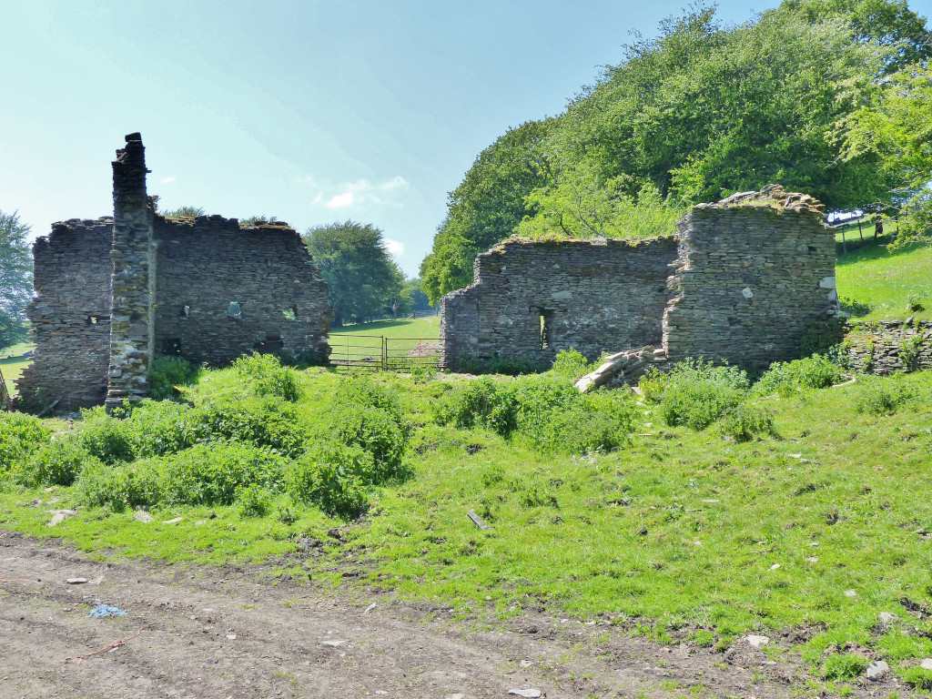 Barn below Heol Cochwydd |
 Barn below Heol Cochwydd |
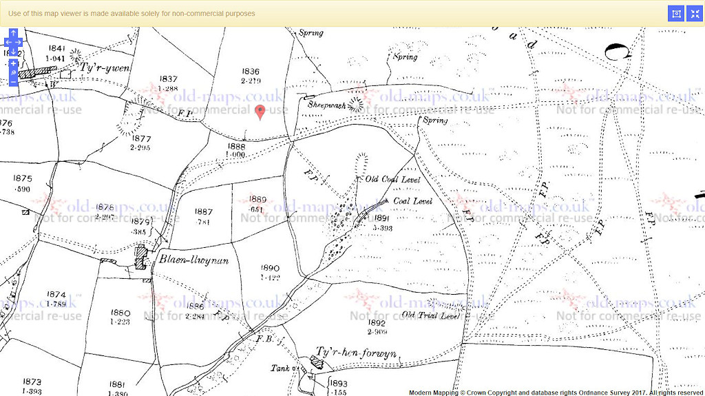 North of Tyr Hen Forwen, 1901 |
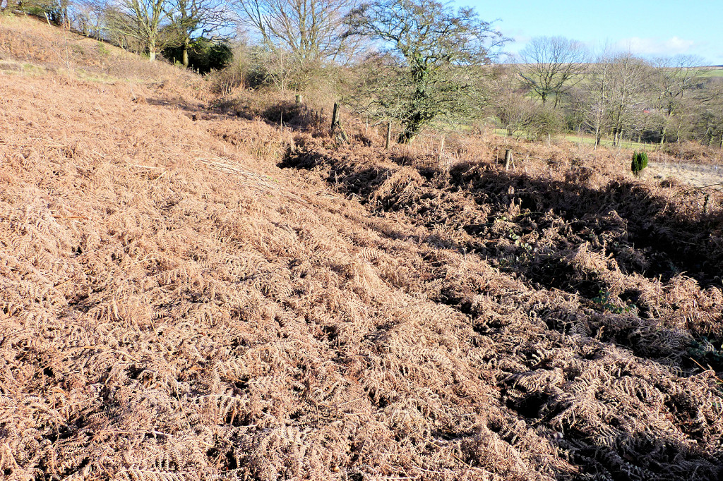
 Level North of Tyr Hen Forwen |
 South of Tyr Hen Forwen, 1880 |
 South of Tyr Hen Forwen, 1962 |
 Tyr Hen Forwen lower level |
 Tyr Hen Forwen lower level tips |
 Tyr Hen Forwen middle level tips |
 Tyr Hen Forwen upper level tips |
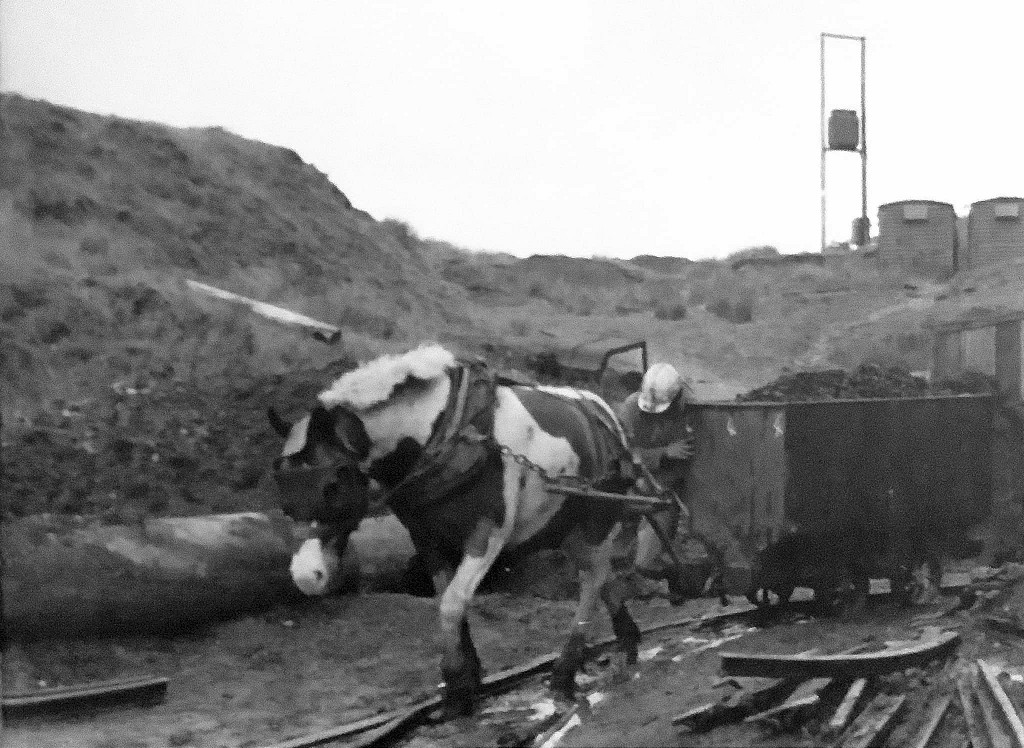
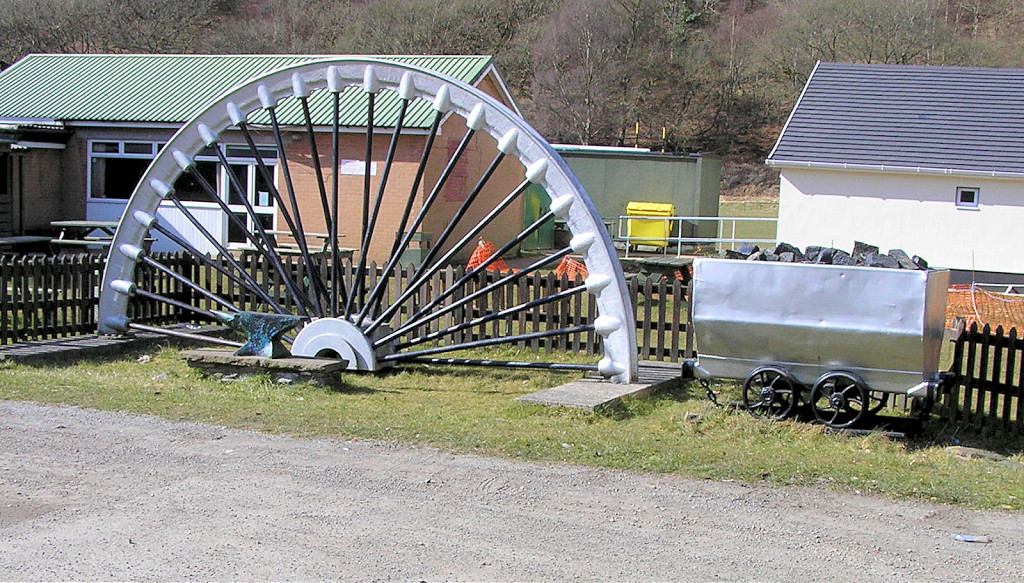 RFC winding wheel and dram |
 Northern level entrance |
 Northern level entrance |
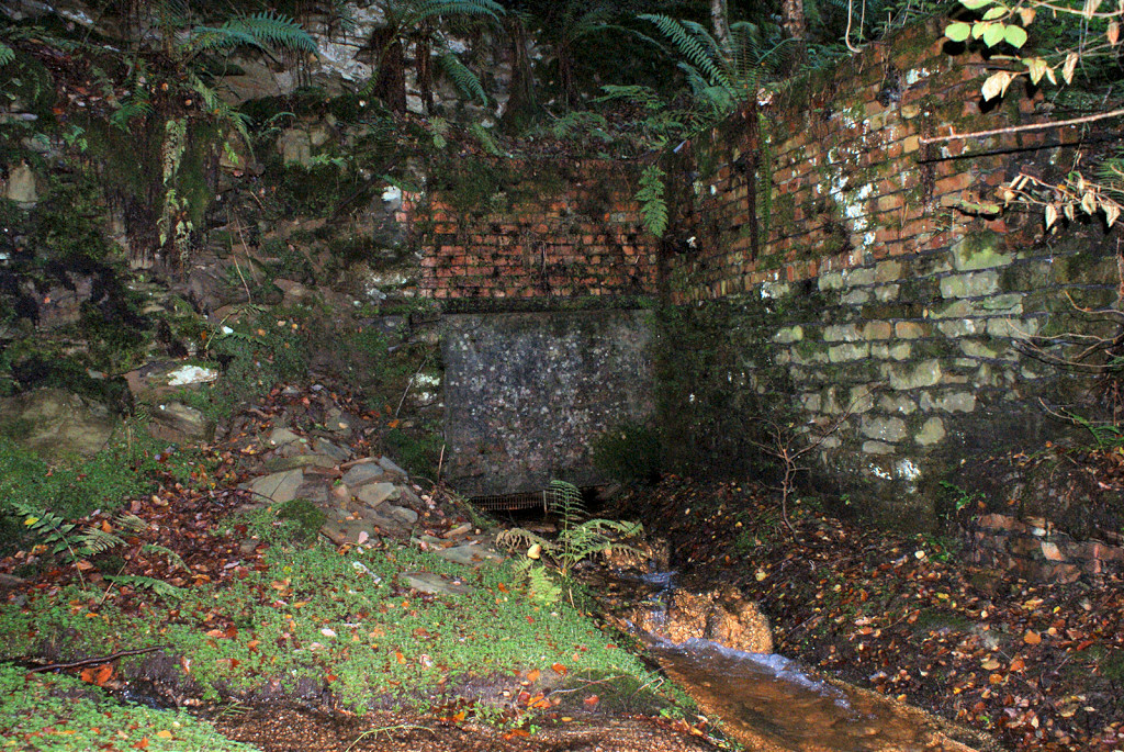
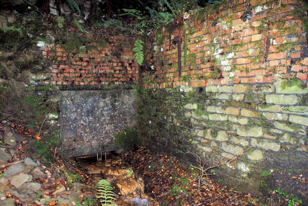
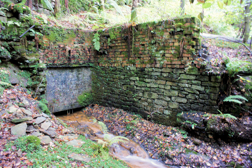
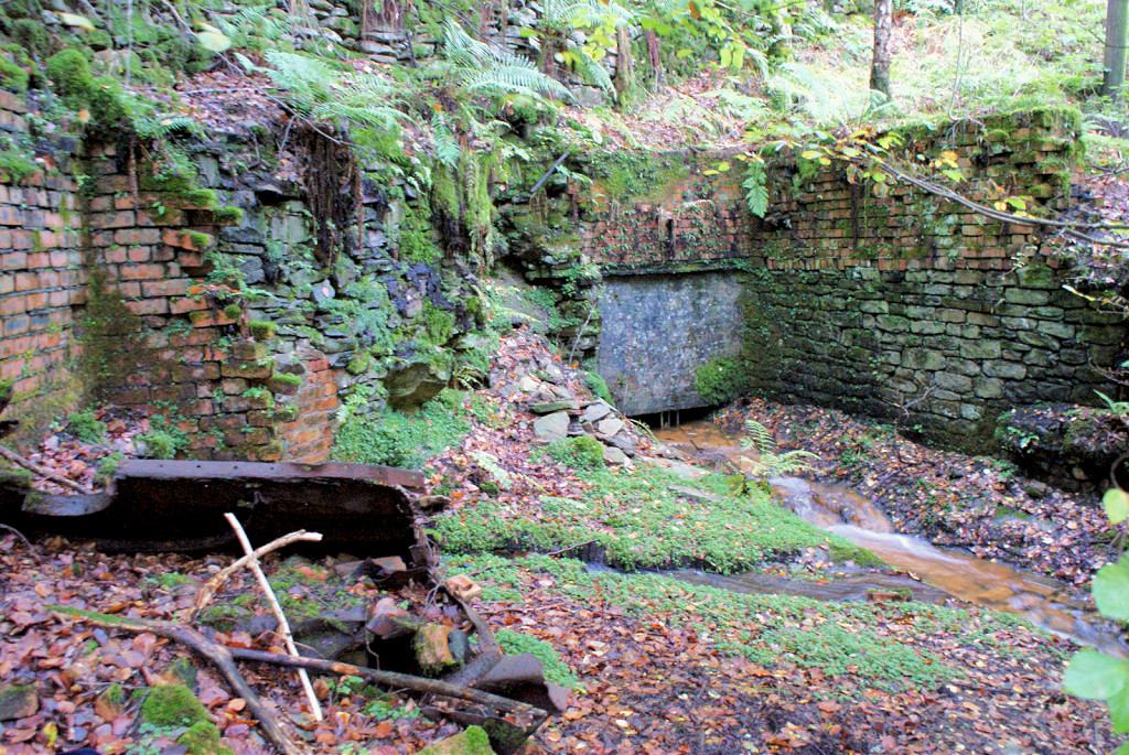
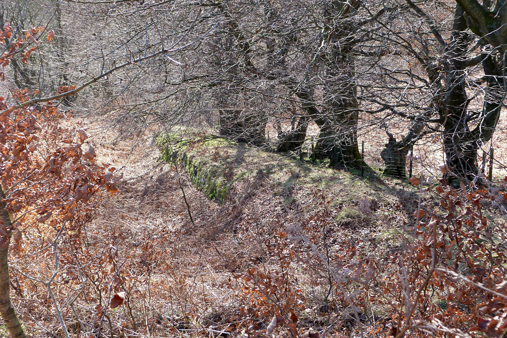
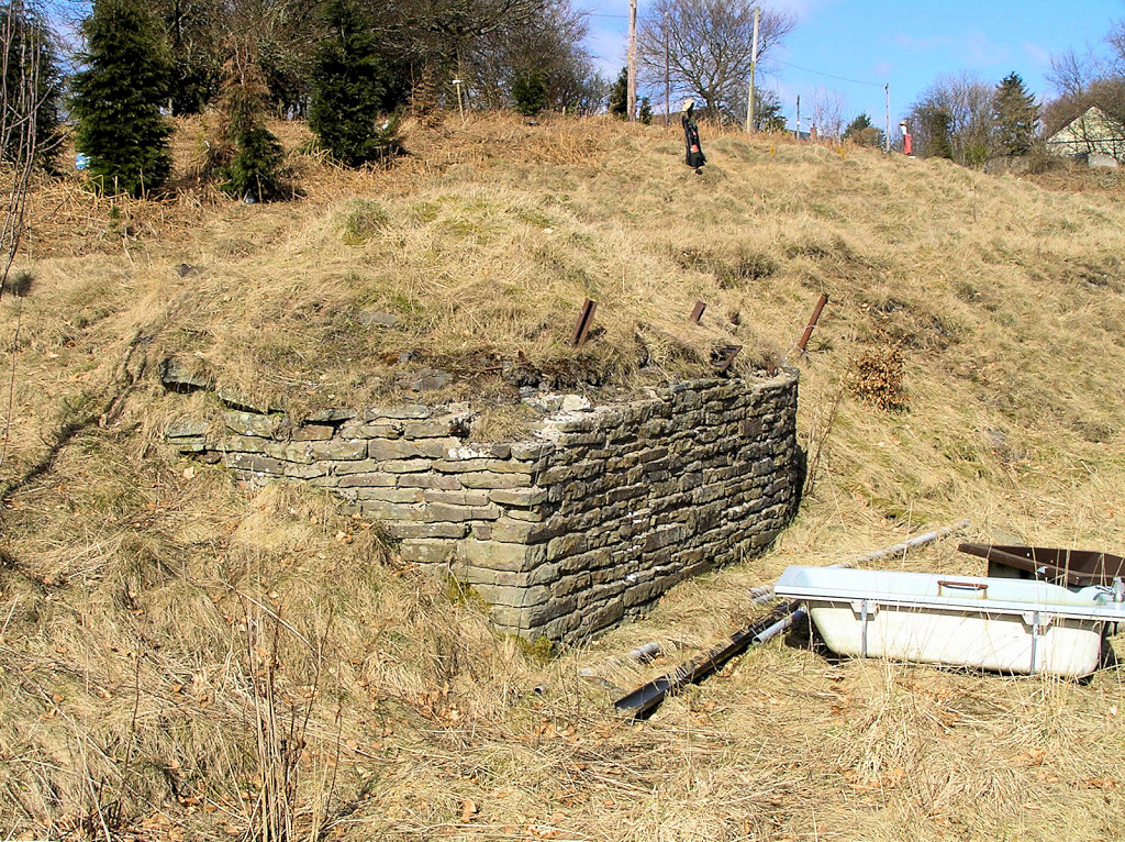
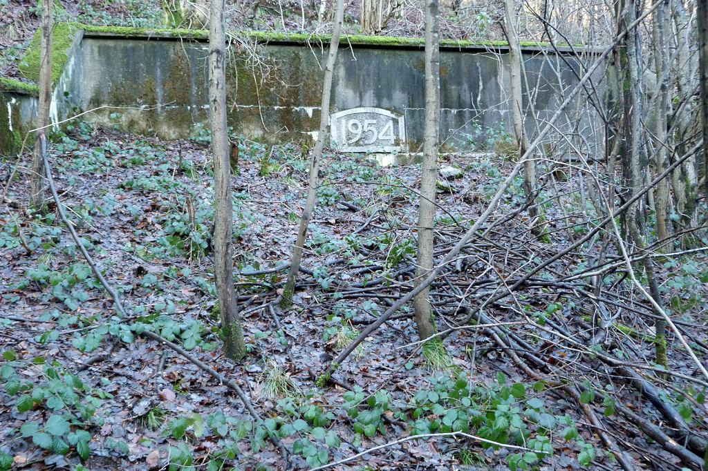
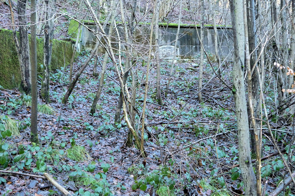
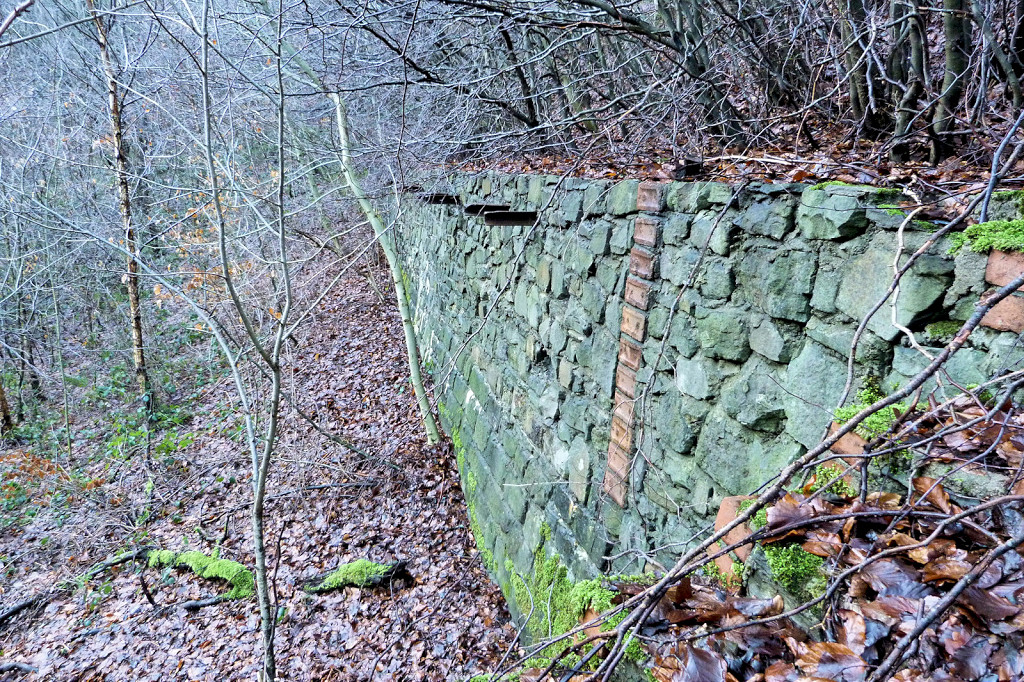 Retaining wall below level |
 'Gwent' at Hafodyrynys Colliery |
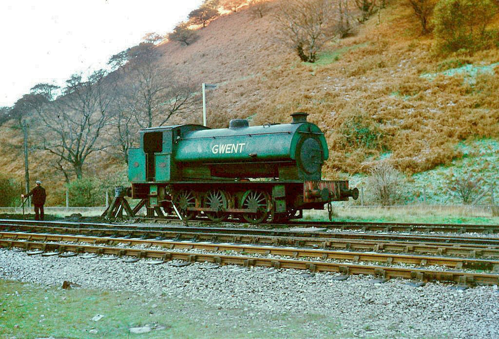 'Gwent' at Hafodyrynys Colliery |
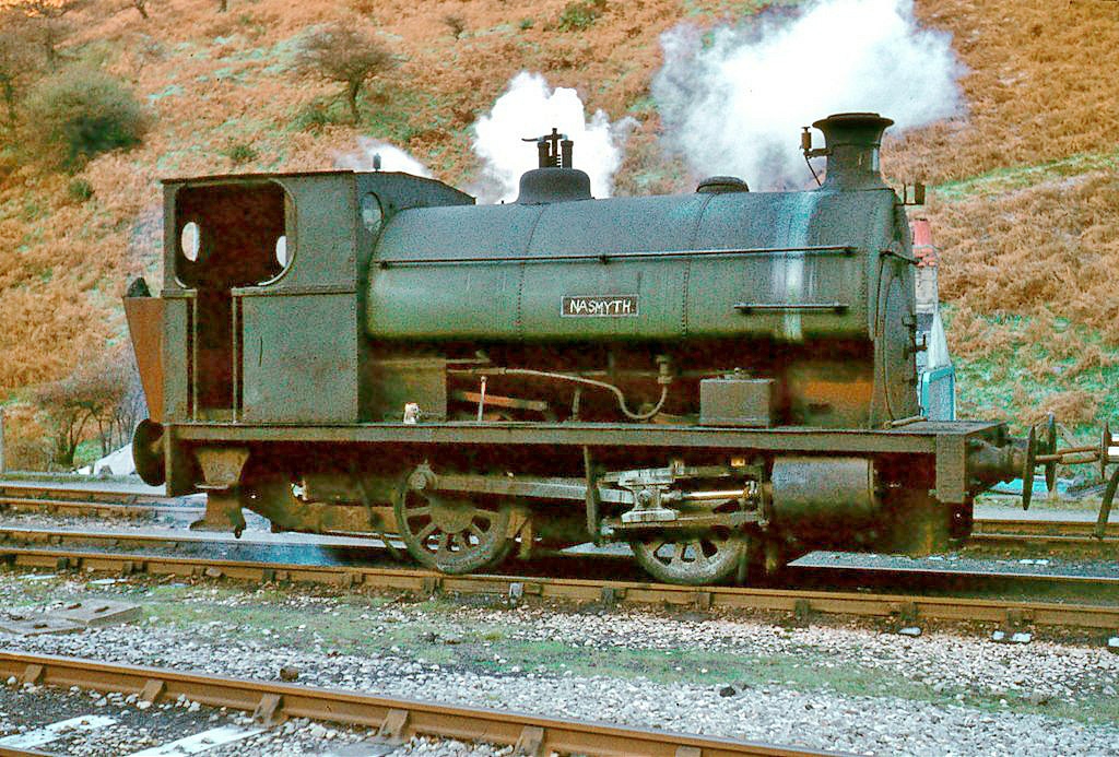 'Nasmyth' at Hafodyrynys Colliery |
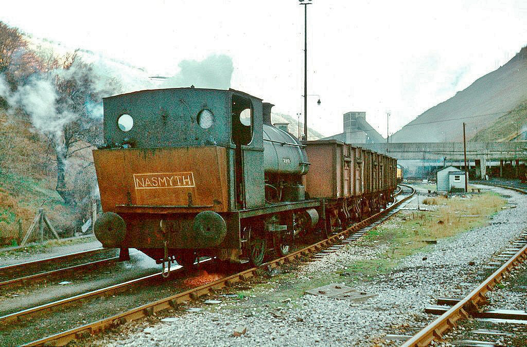 'Nasmyth' at Hafodyrynys Colliery |
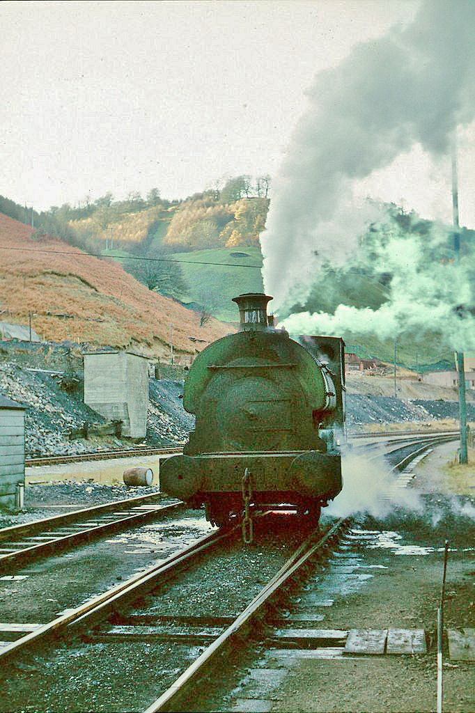 'Nasmyth' at Hafodyrynys Colliery |
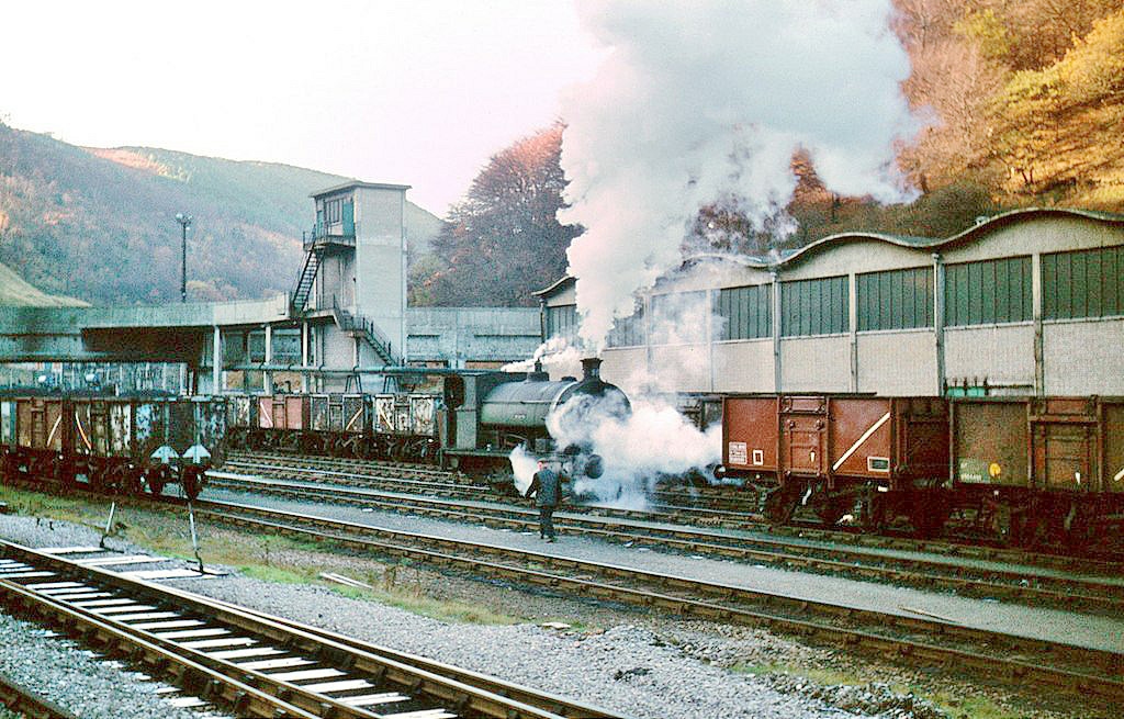 'Nasmyth' at Hafodyrynys Colliery |
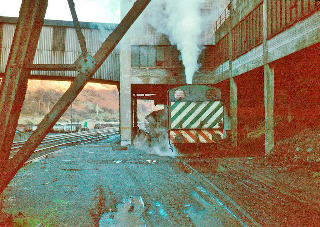 'Glendower' at Hafodyrynys Colliery |
Industrial WalesCollieries, Ironworks, Quarries, Railways, Canals, Tramroads, Tunnels, Culverts and so much more....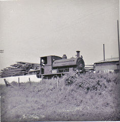
|
Brickworks of WalesBricks are 'History with a label' so here's the story of the Brickworks of Wales - photos, maps and the products themselves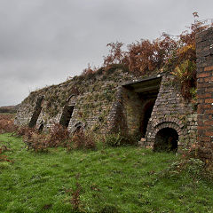
|
Around the WorldMy travels around the UK and the Whole Wide World in search of industries, railways, trams and mines to name a few.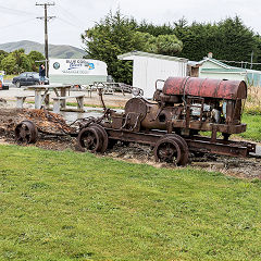
|
Boundary Stones and MilepostsBoundary Stones, Mileposts and other markers in simple alphabetical order of their initials, name or site.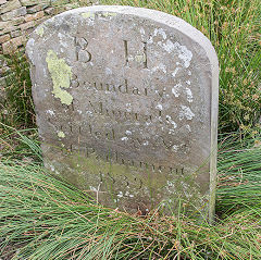
|
Ships and ShippingShips around the World in simple alphabetical order of their name (or apparent area if I can't read the name).
|
The Site Map and IndexA full list of all the pages of the whole website in just one place, so you should find exactly what you are looking for.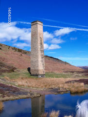
|
About the SiteThe background and technical details about the site, plus a contact page and links to other sites - and a warning !!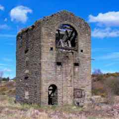
|
Contact MeSomething to add? A great photo? Something wrong? or need to know more about things? Just drop me a line here.
|
Further ReadingYou can find lots of local and other very helpful websites, books, magazines and Facebook groups all listed here.
|