Industrial Wales - Monmouthshire's Eastern Valley
North and West Abersychan
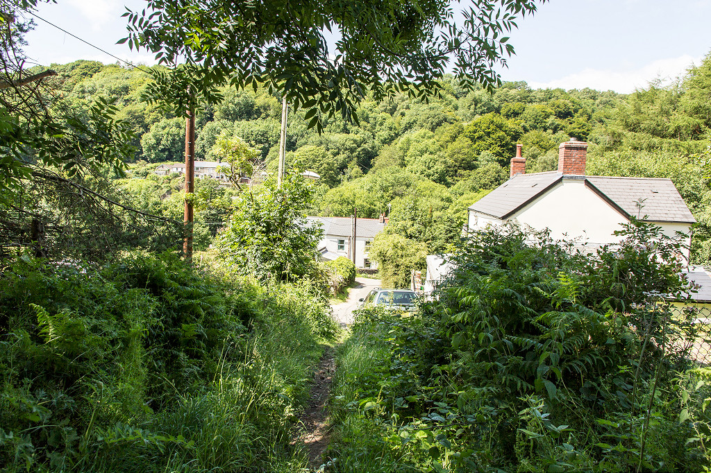
Talywain, Garndiffaith, Cwm Ffrwd, Varteg and Cwmavon
Search the site here
|
|
Industrial Wales - Monmouthshire's Eastern Valley
North and West Abersychan
Talywain, Garndiffaith, Cwm Ffrwd, Varteg and Cwmavon
|
Search the site here
|
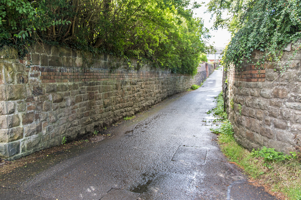
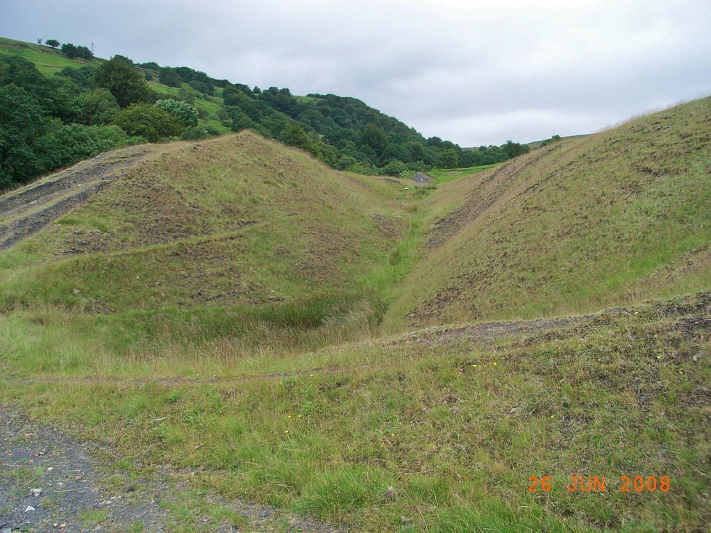
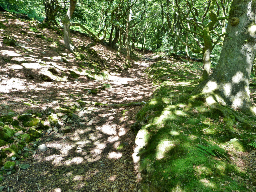
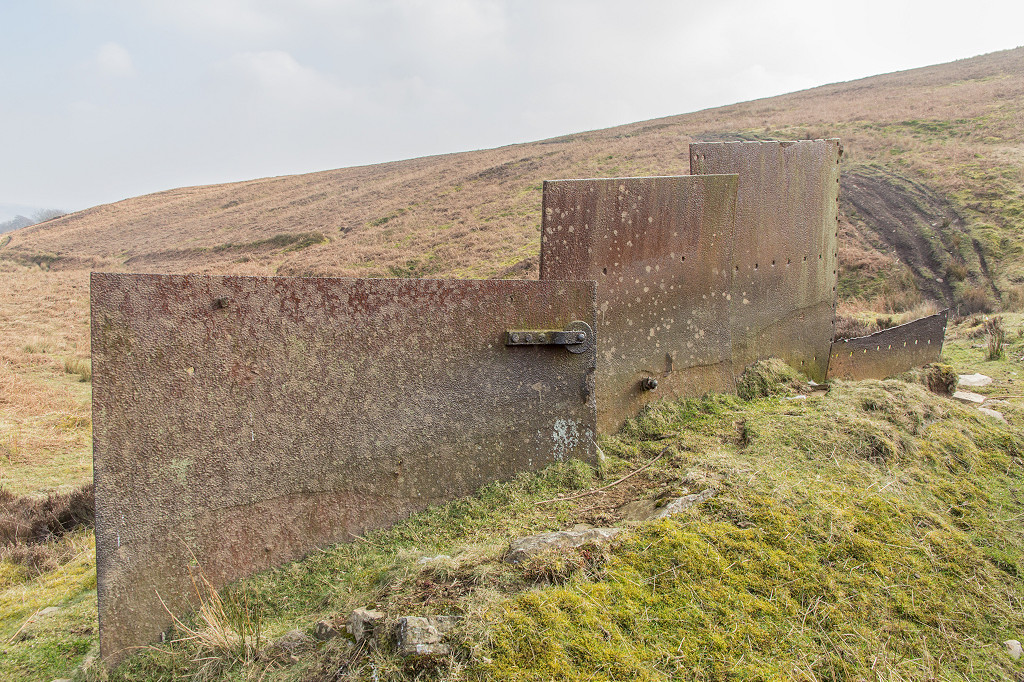
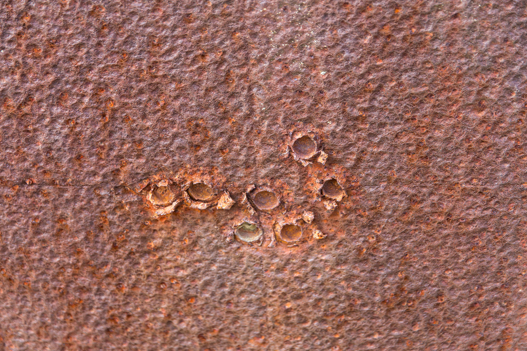
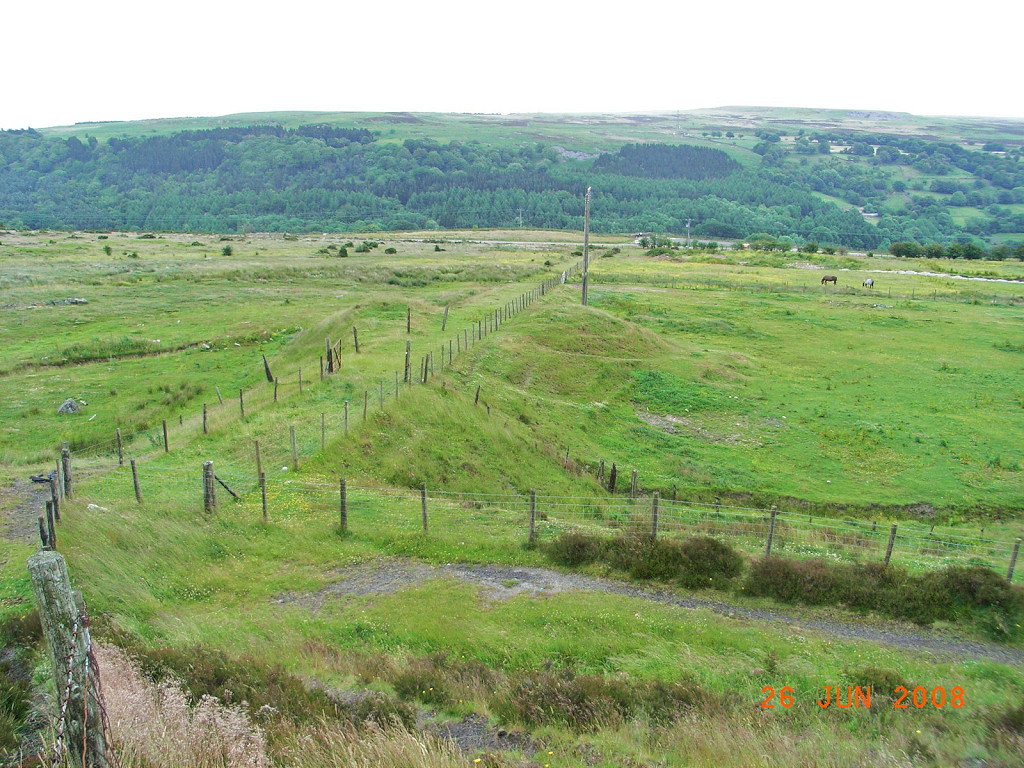
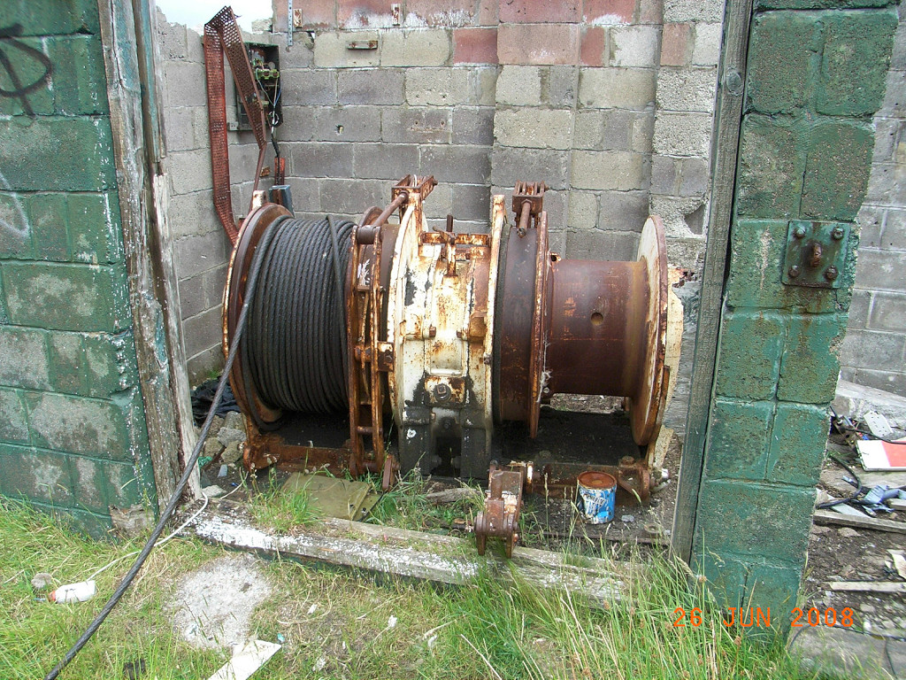
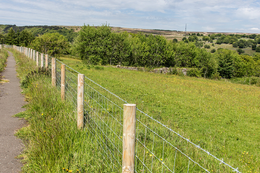
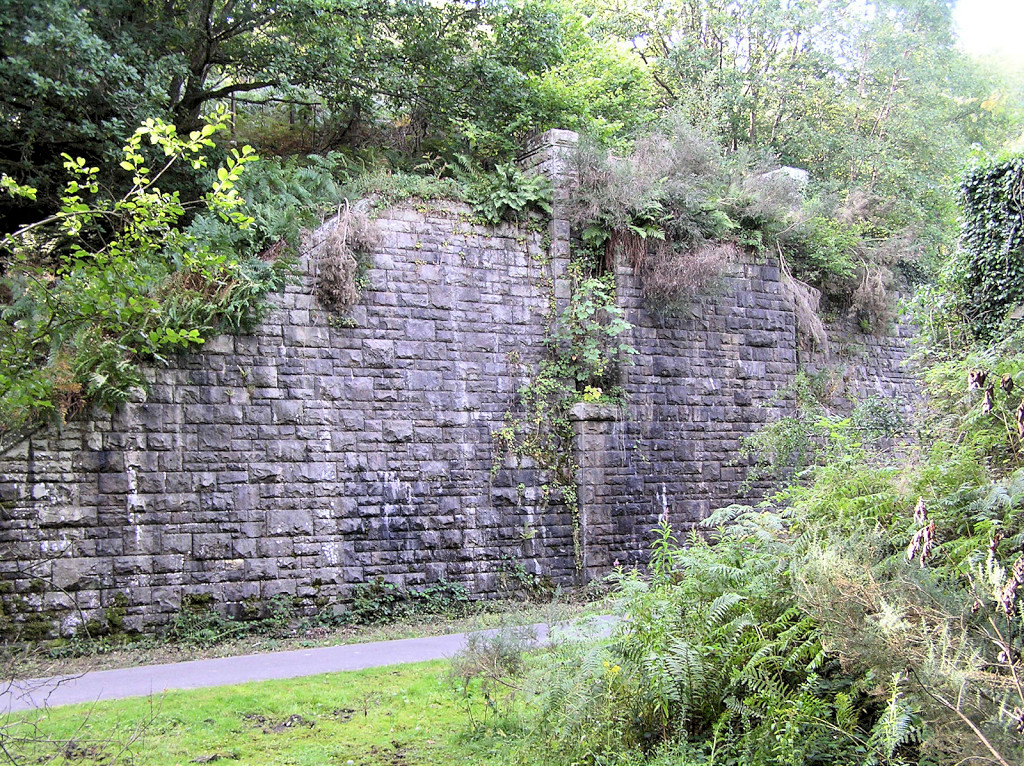
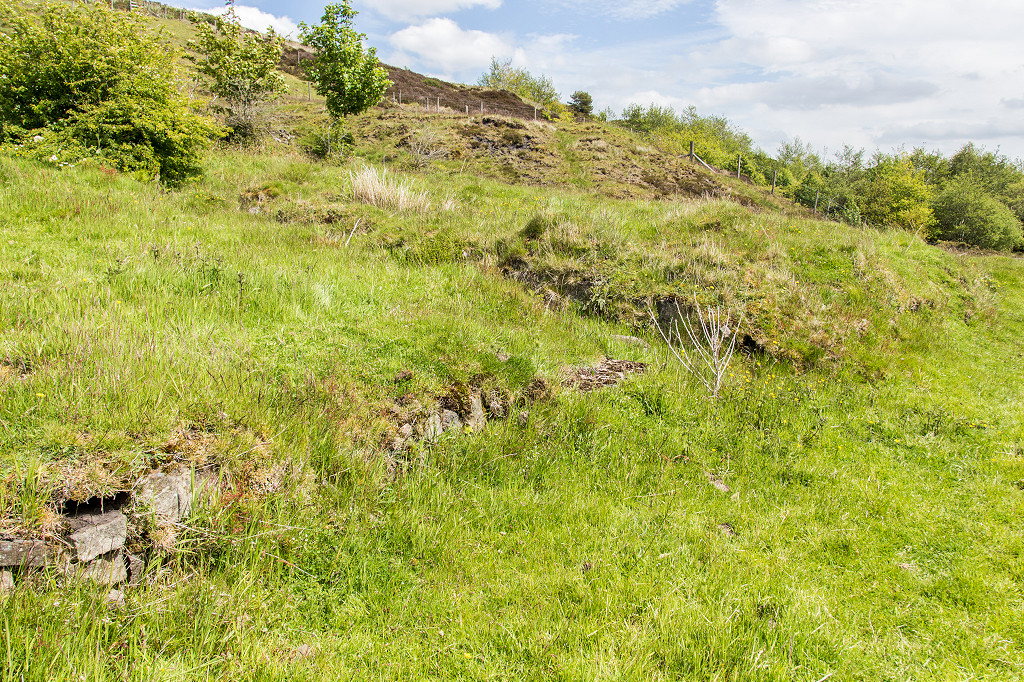
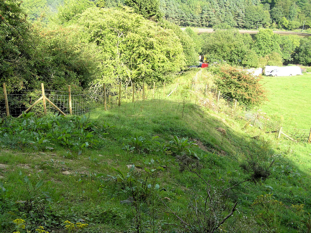
 Abersychan incline, lower section |
 Abersychan incline, lower section |
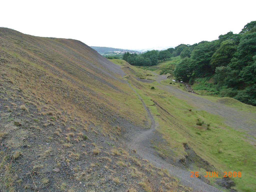
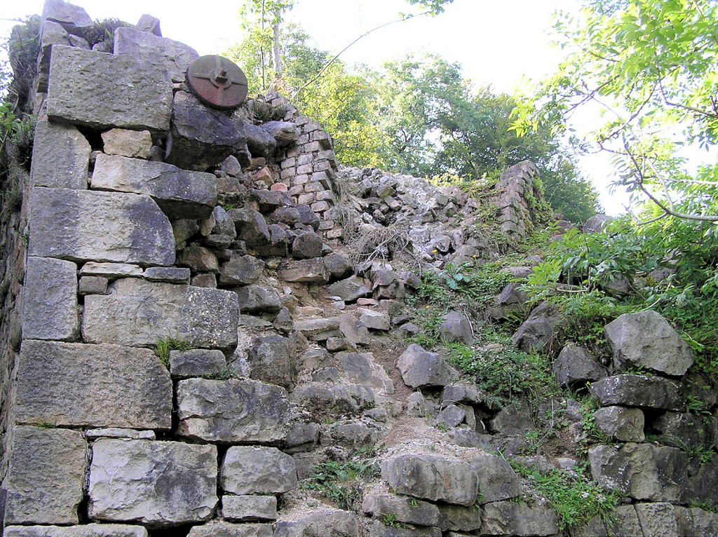
 Abersychan incline top |
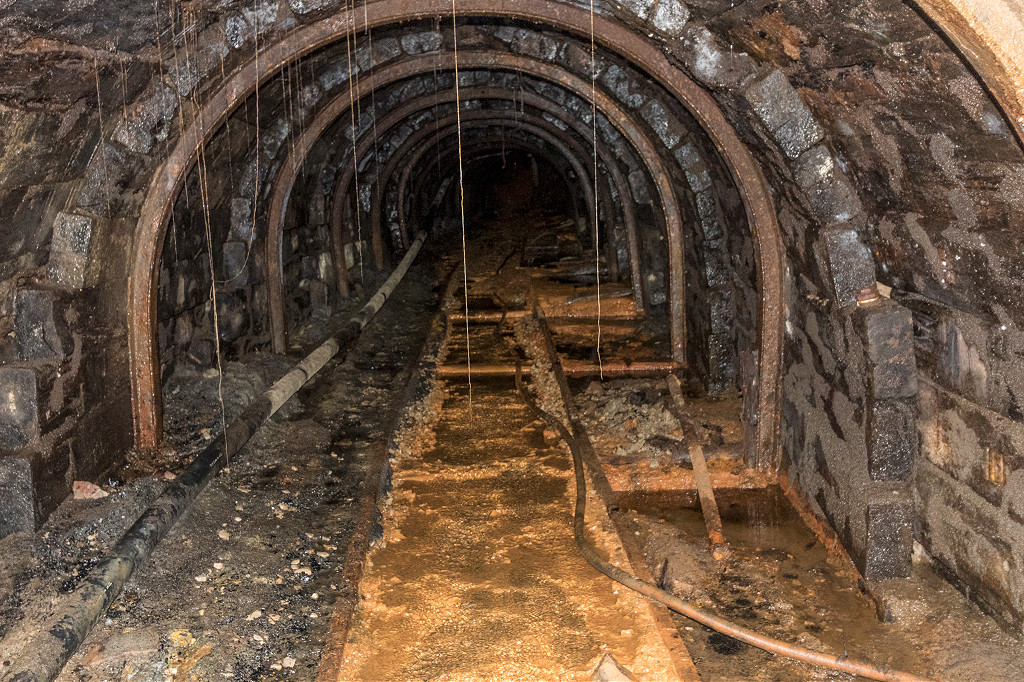
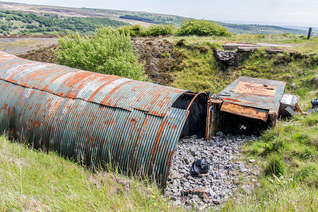
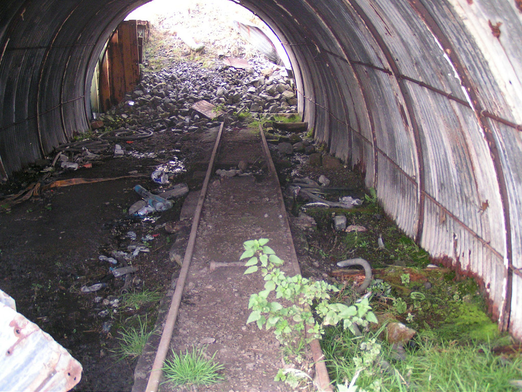
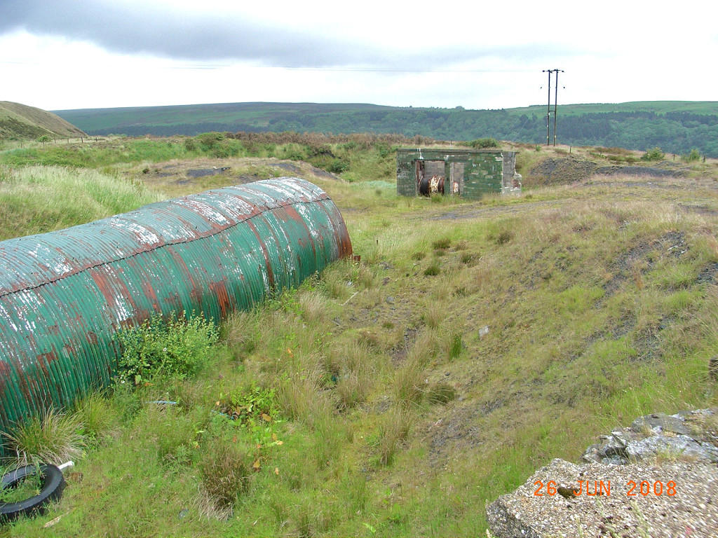
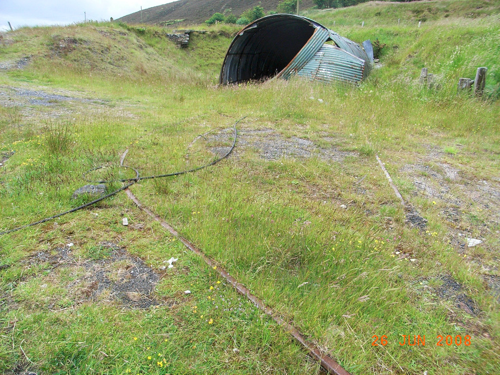
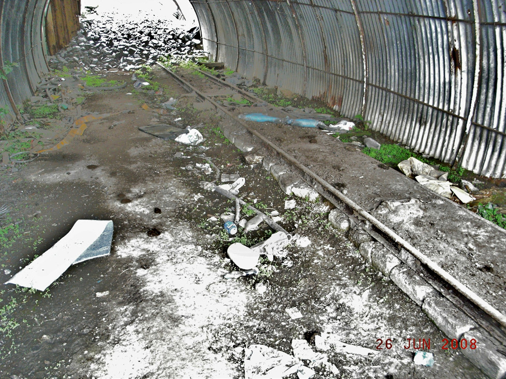
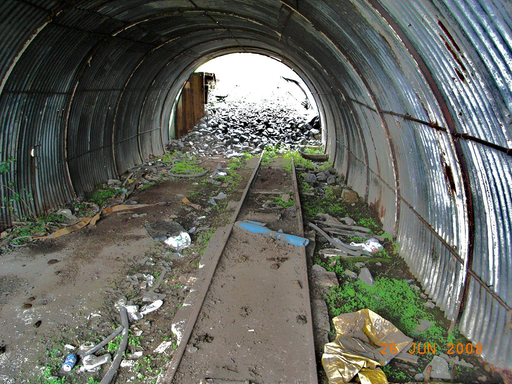
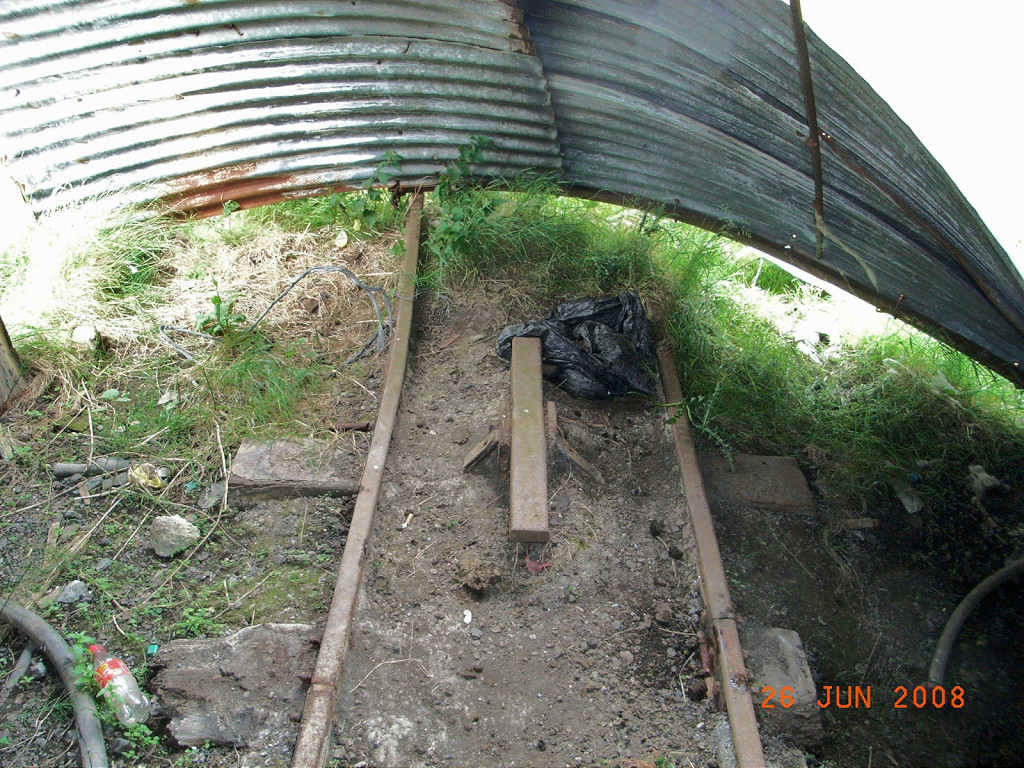
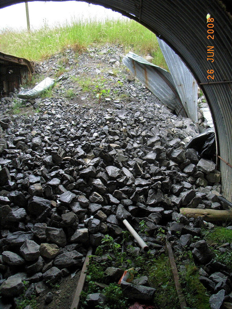
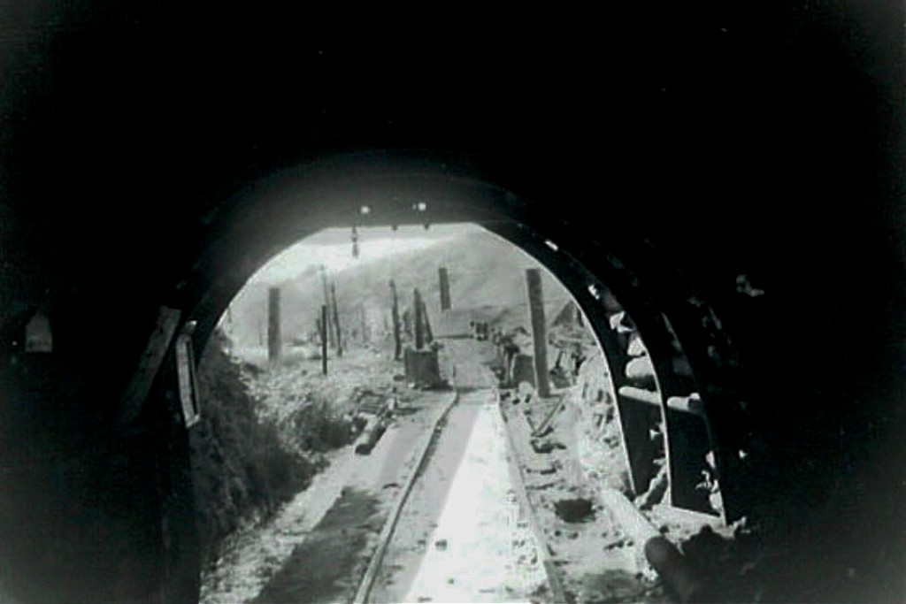
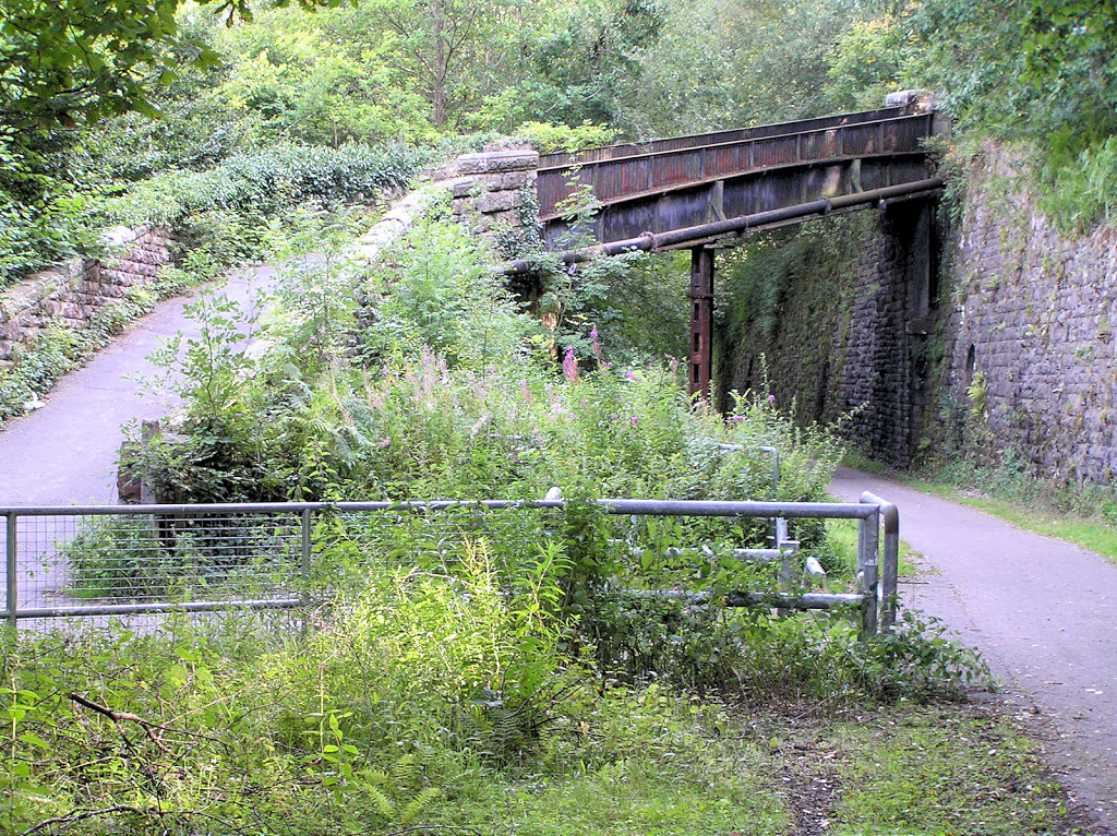
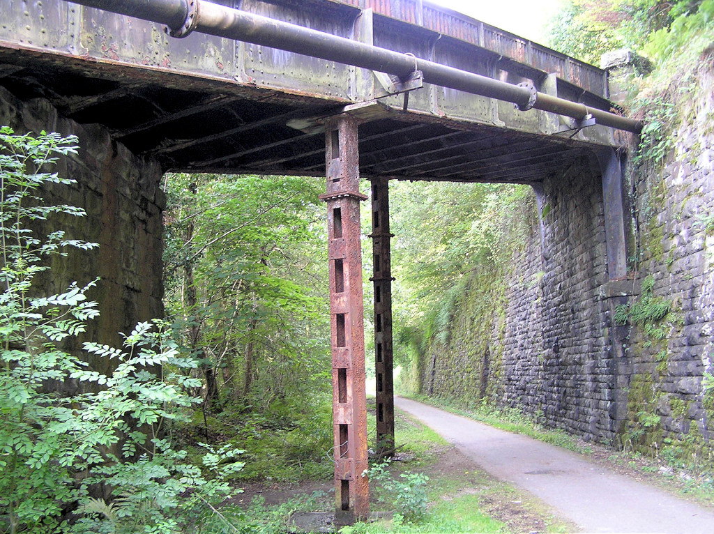
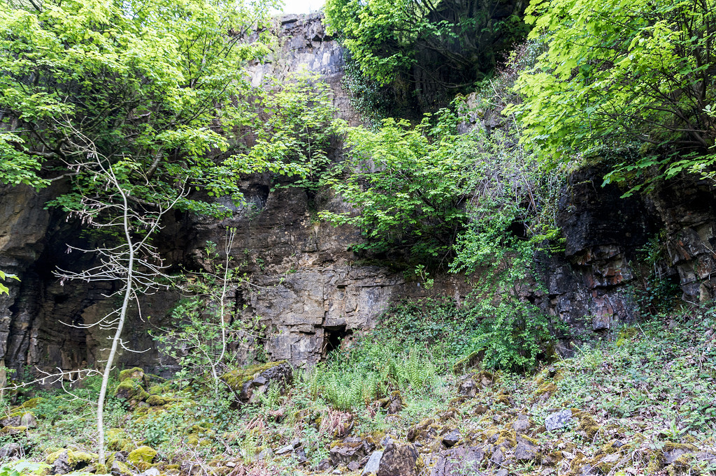
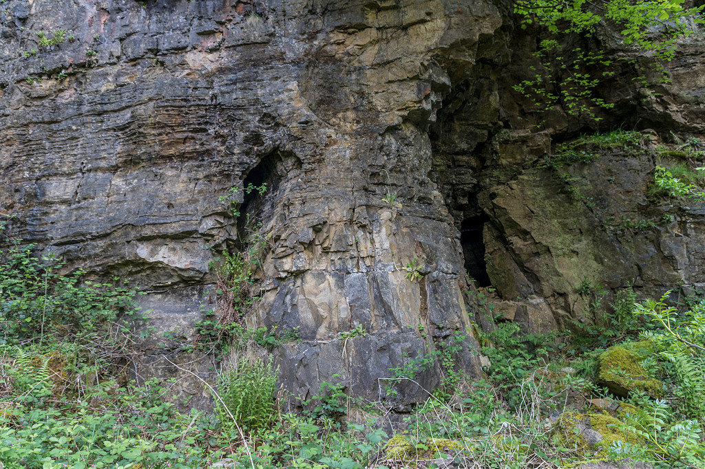
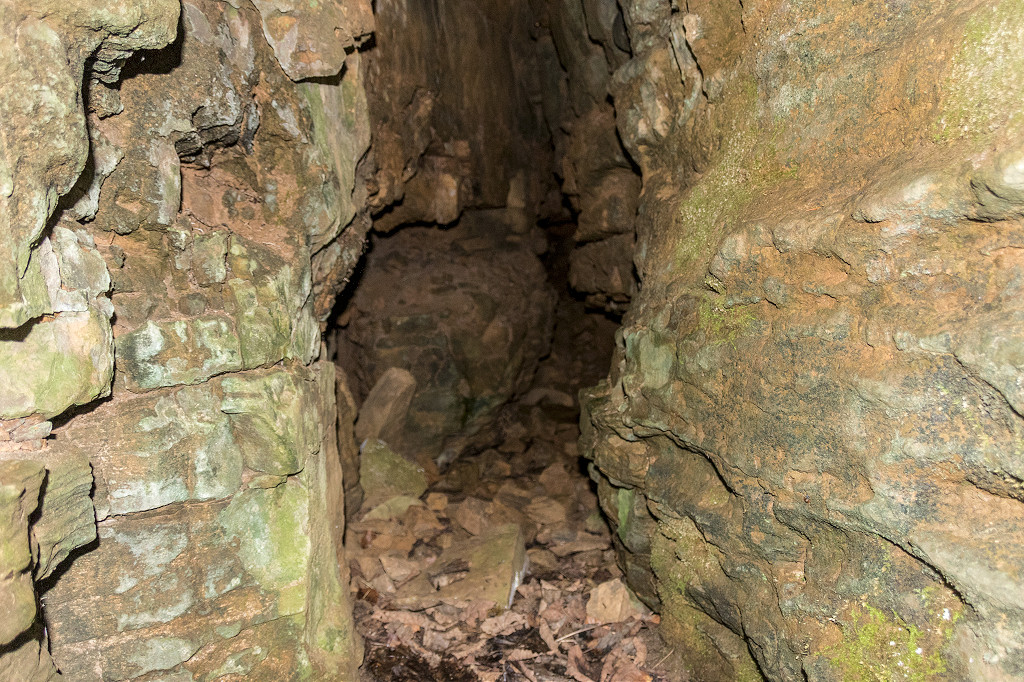
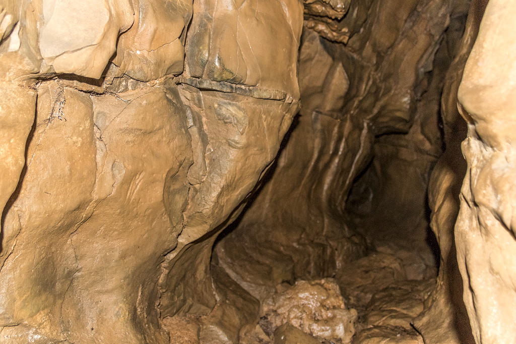
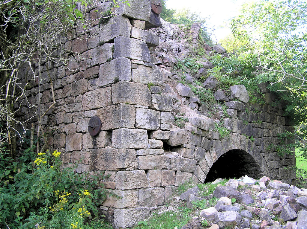
 Incline sidings tunnel |
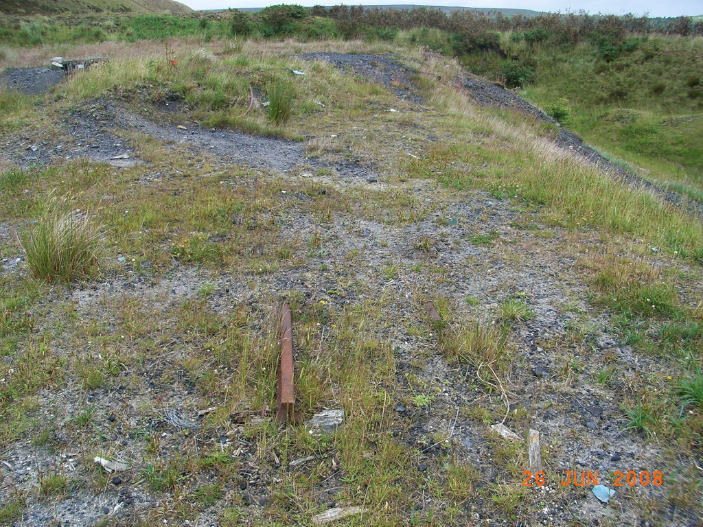
 Abersychan incline looking down |
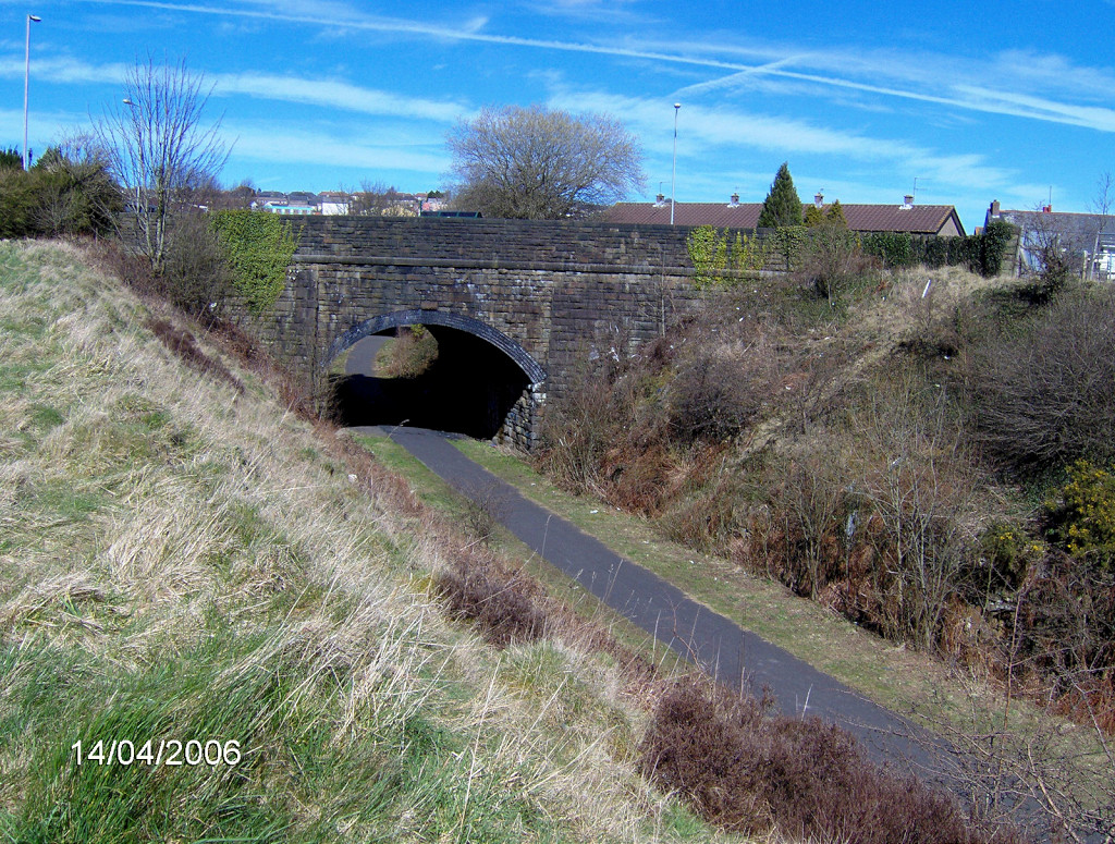
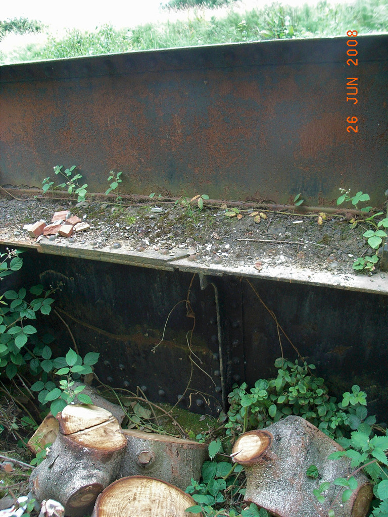
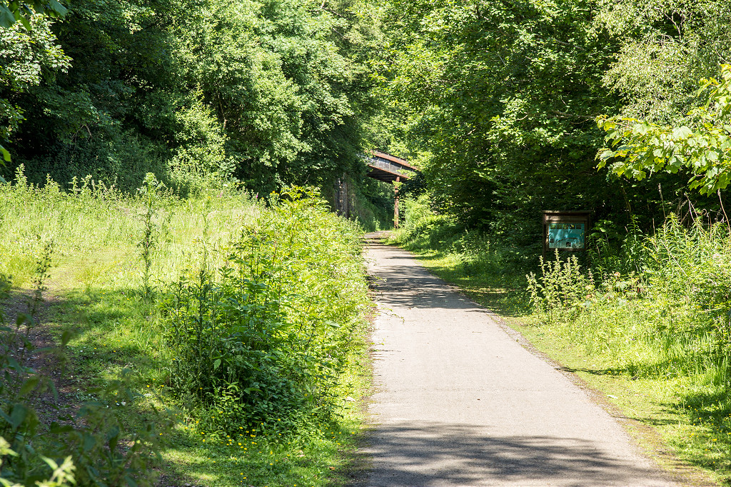
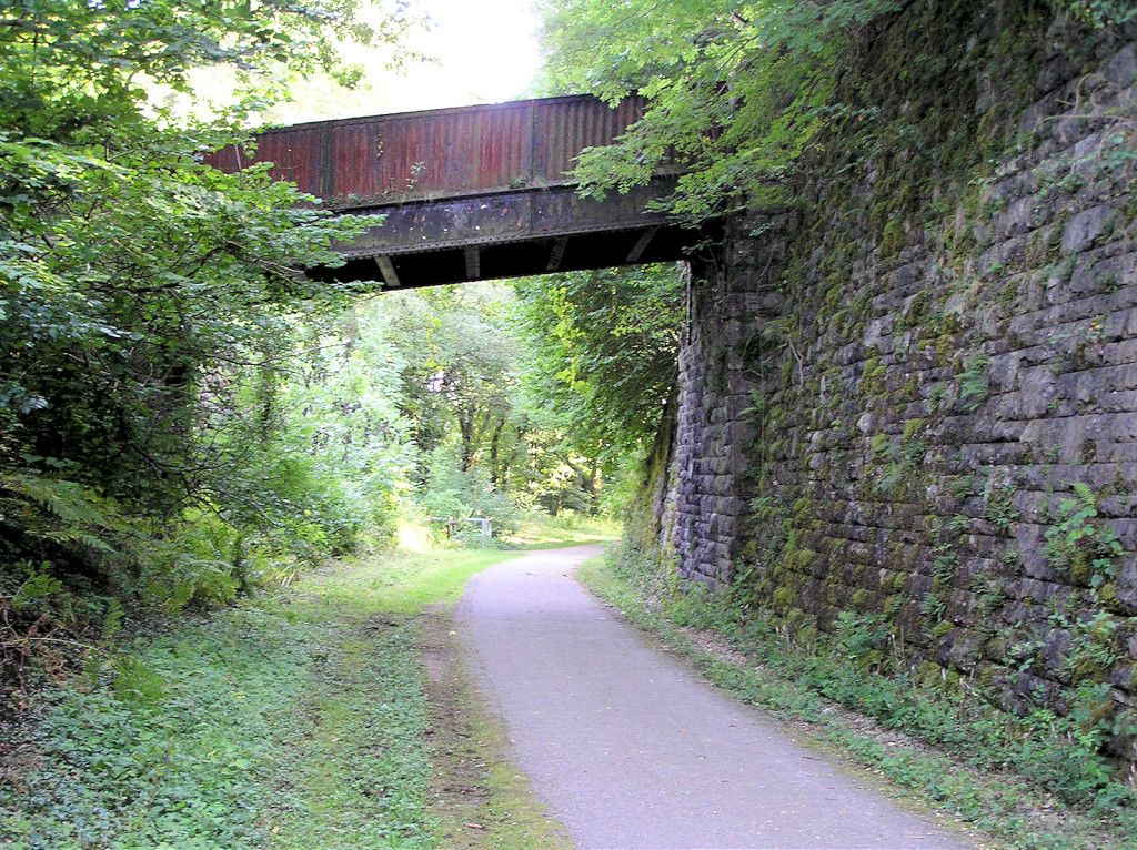
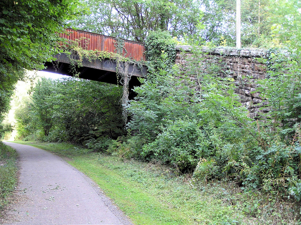
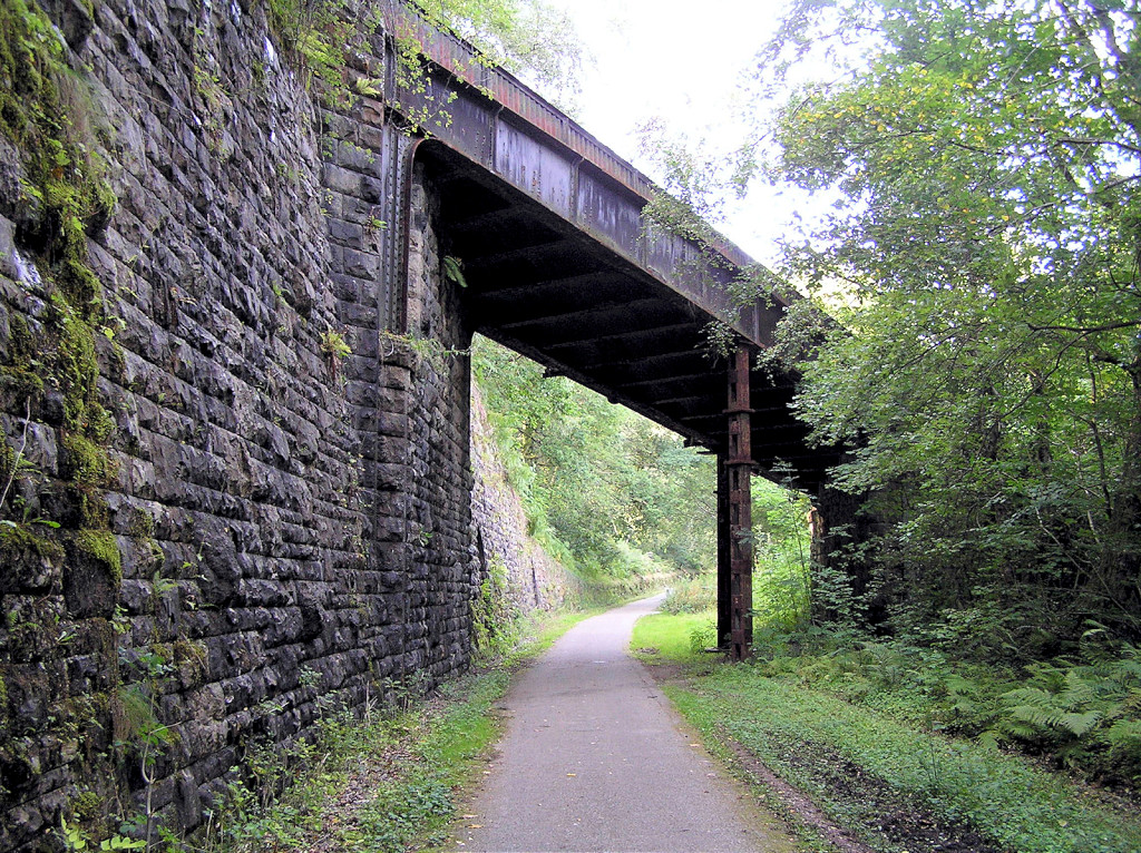
 Incline top, bridge over LNWR |
 Incline top, bridge over LNWR |
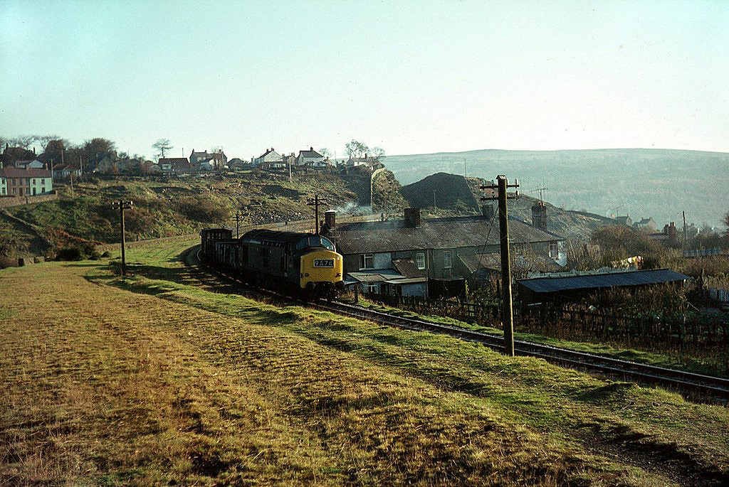
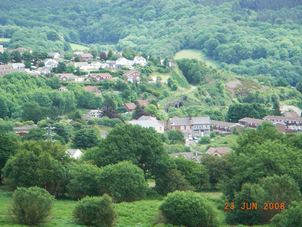
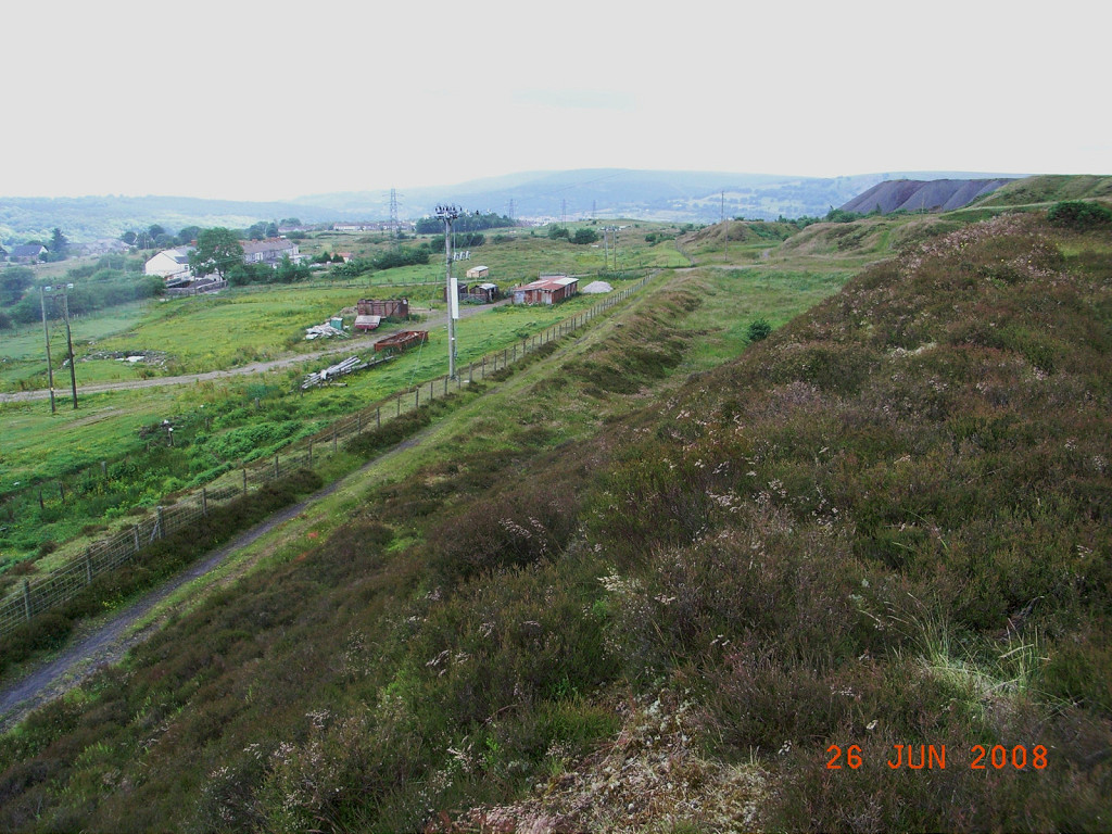
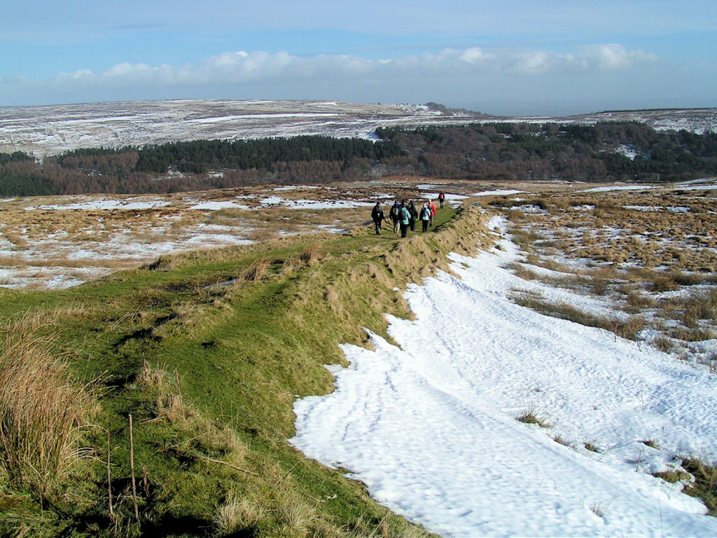
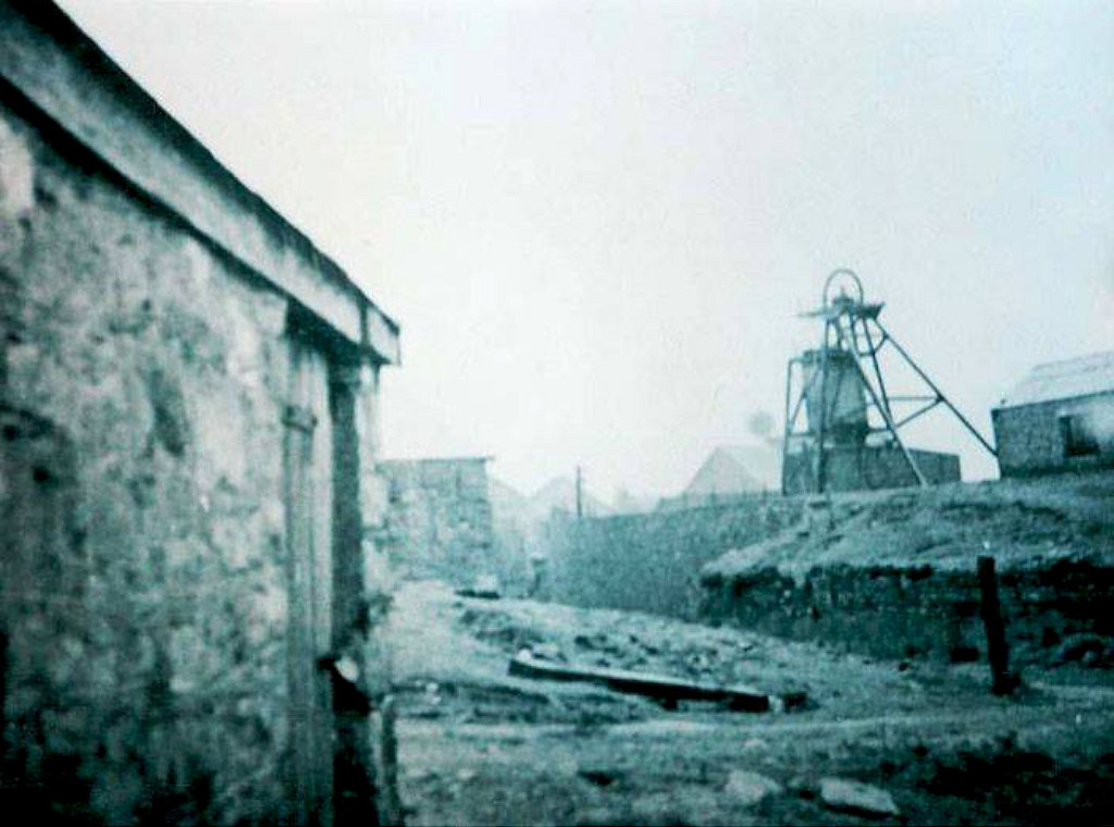
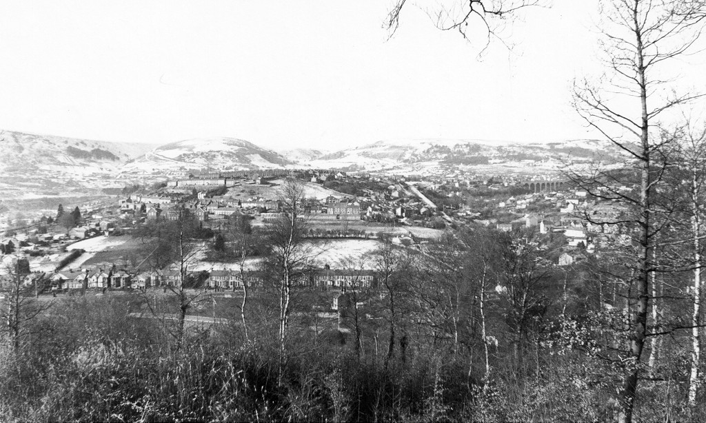 Viaduct and Incline, c1981 |
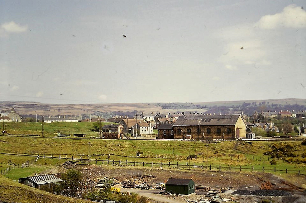
 Garndiffaith Junction, 1969 |
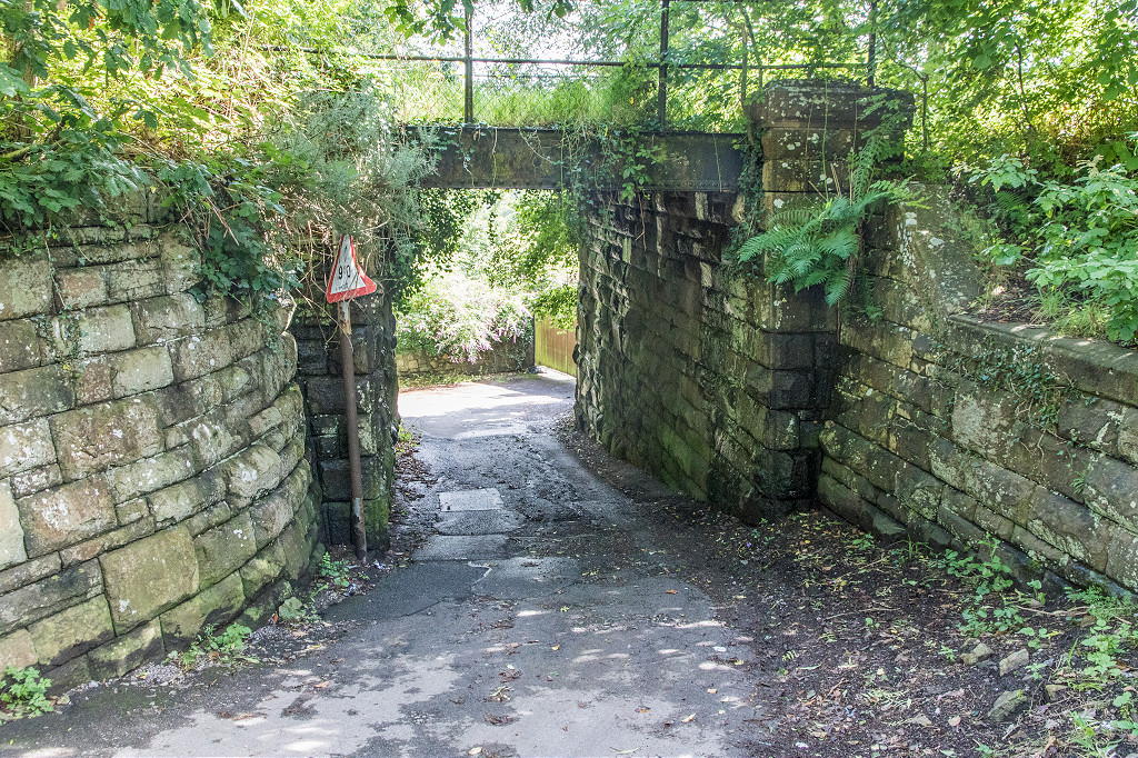
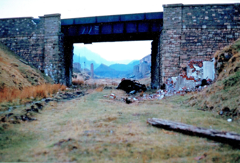
 LNWR Commercial Road bridge |
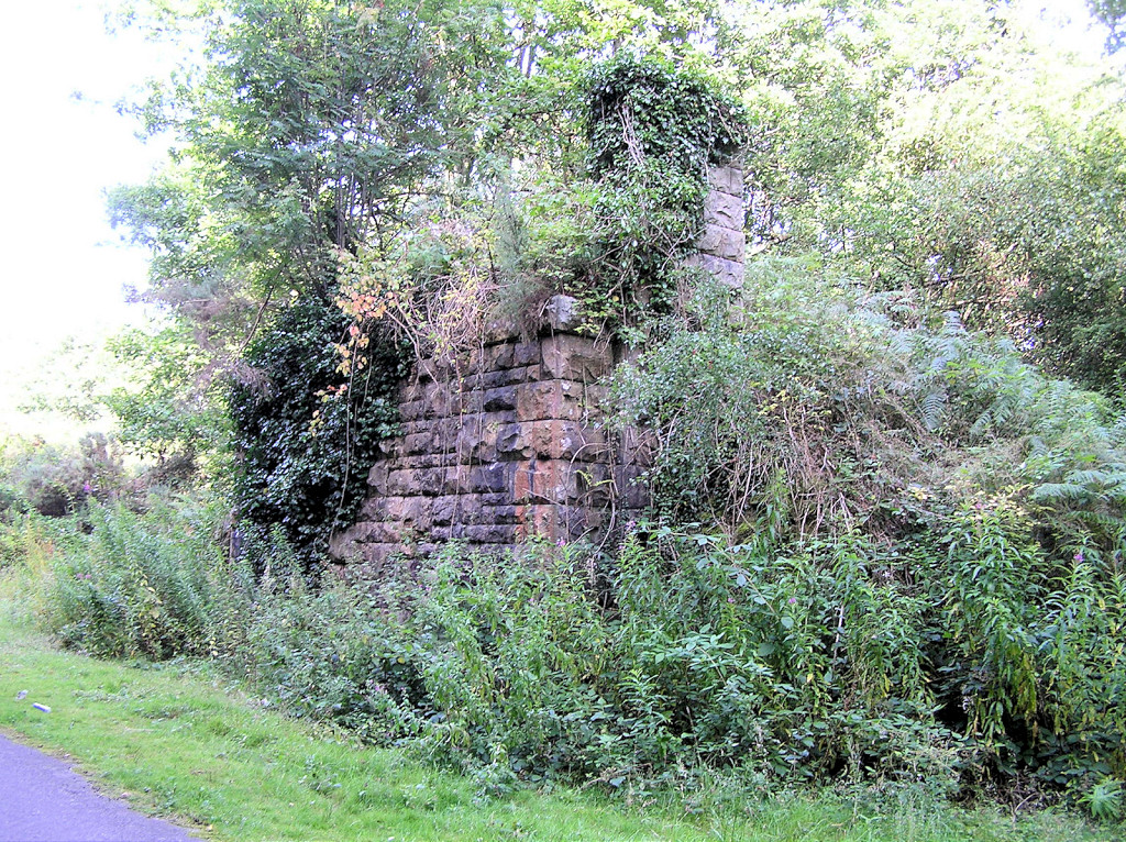
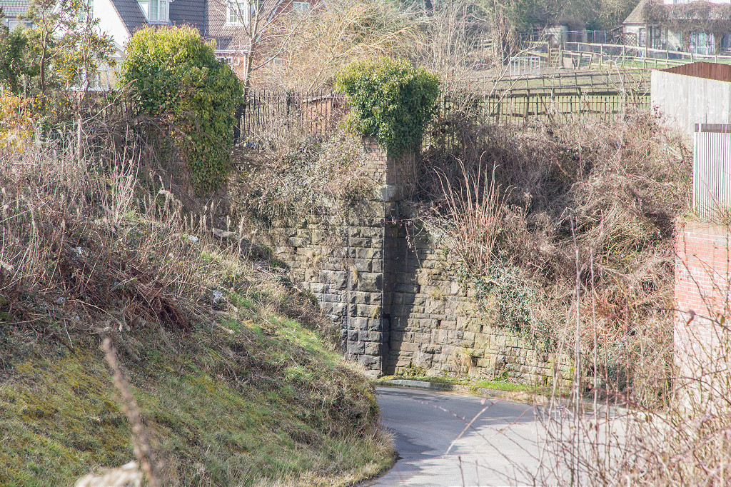 Farm Road bridge abutments |
 Harpers Road lane LNWR bridge |
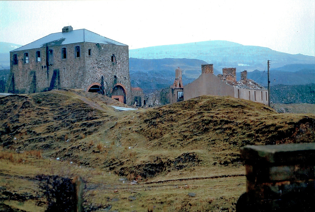
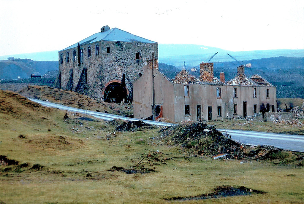
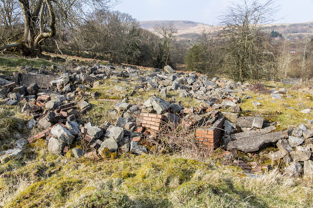
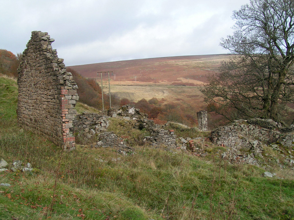
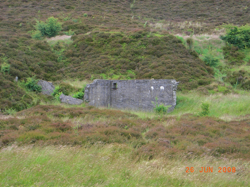
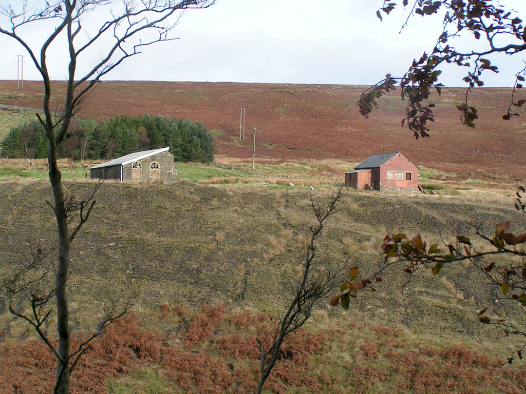
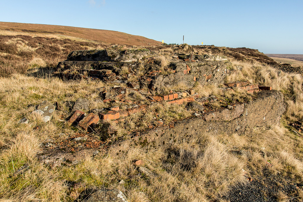
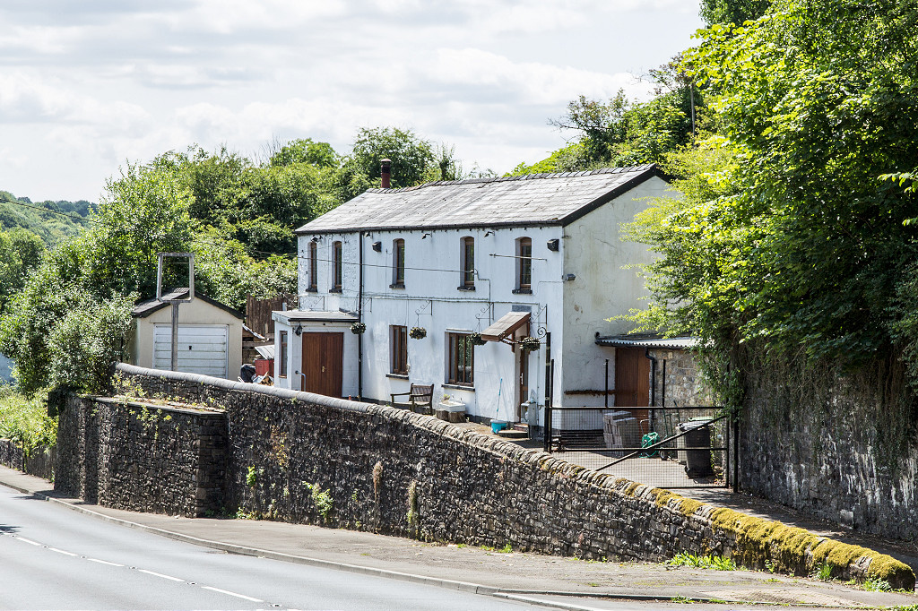
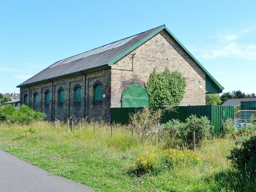 LNWR goods shed, Talywain |
 LNWR goods shed, Talywain |
 LNWR goods shed, Talywain |
|
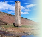
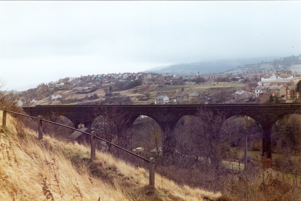
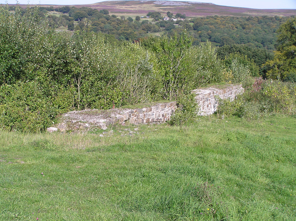
 Talywain Viaduct |
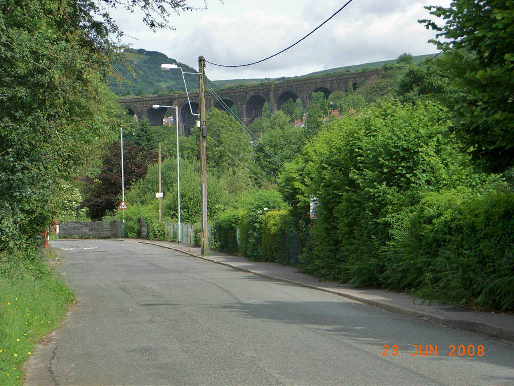 Talywain Viaduct from the incline |
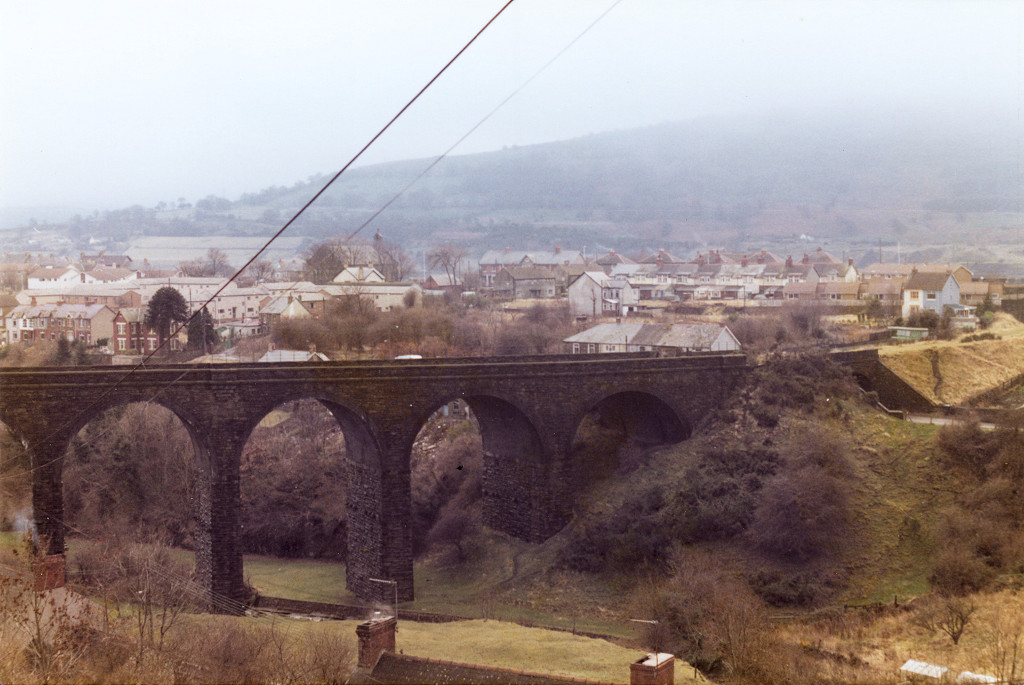
 Talywain Viaduct from Cwmsychan |
 Talywain Viaduct, c1981 |
 Talywain Viaduct, c1981 |
 Talywain Viaduct, c1981 |
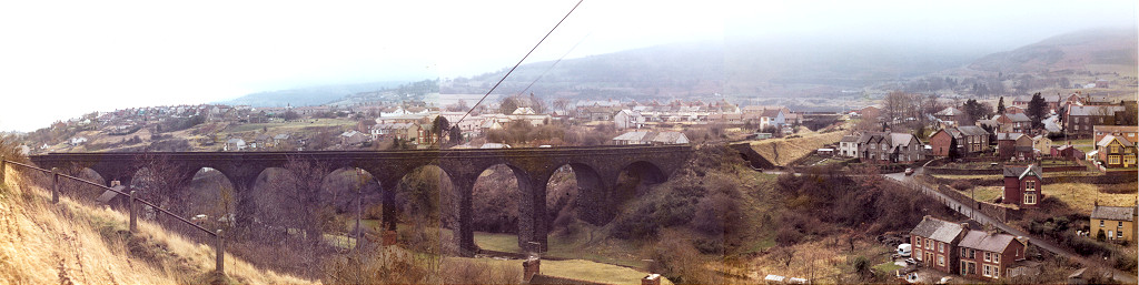 Talywain Viaduct, c1981 |
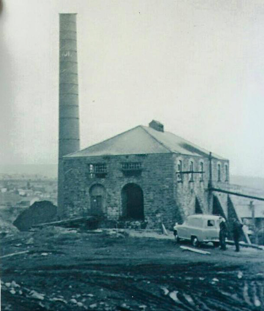
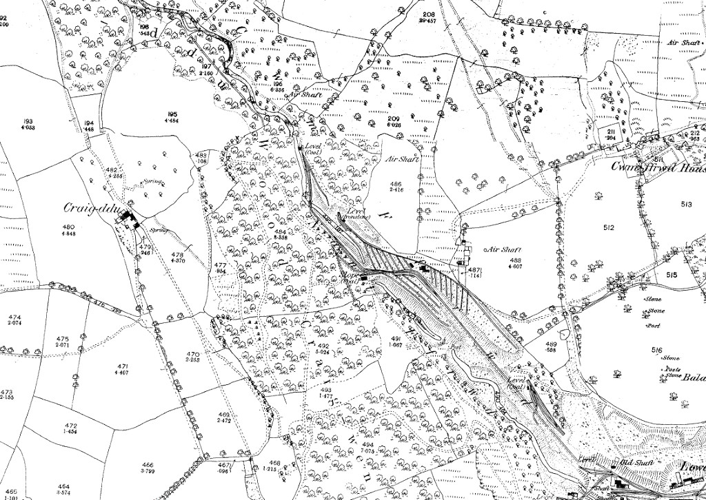
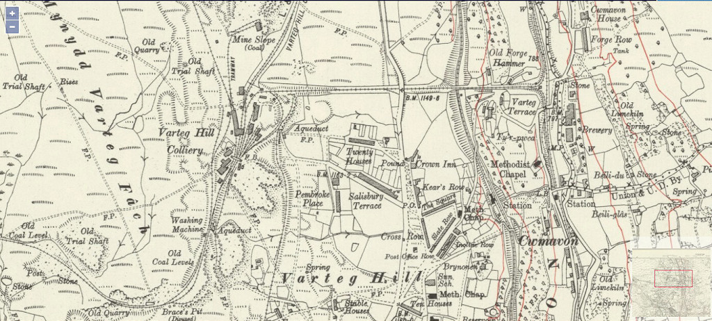
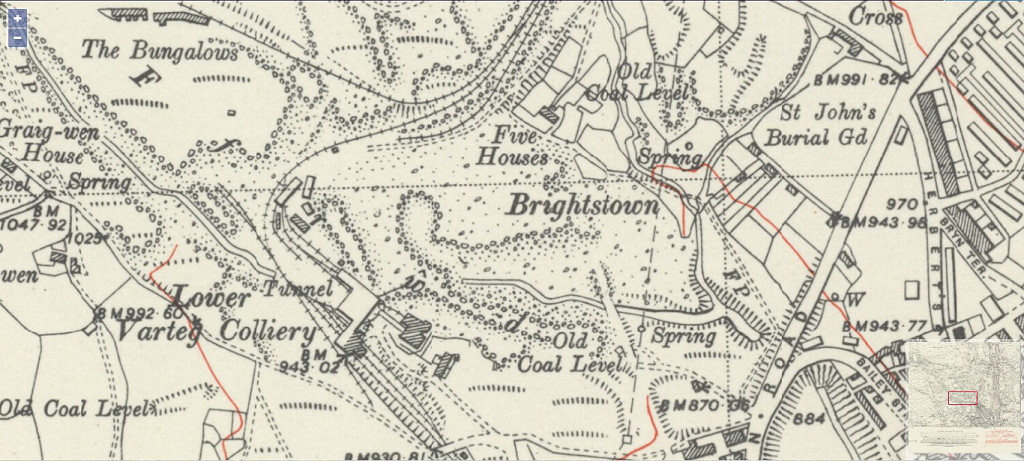
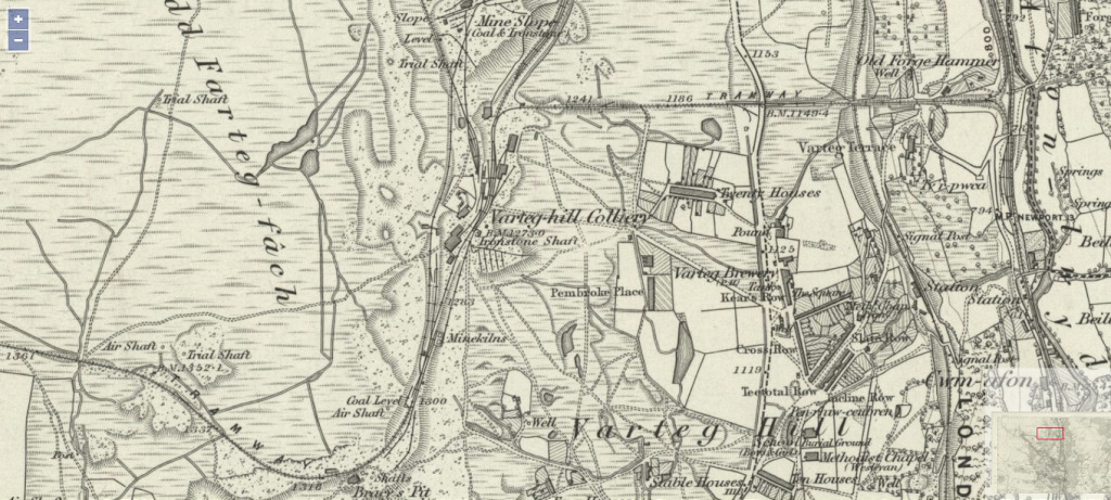
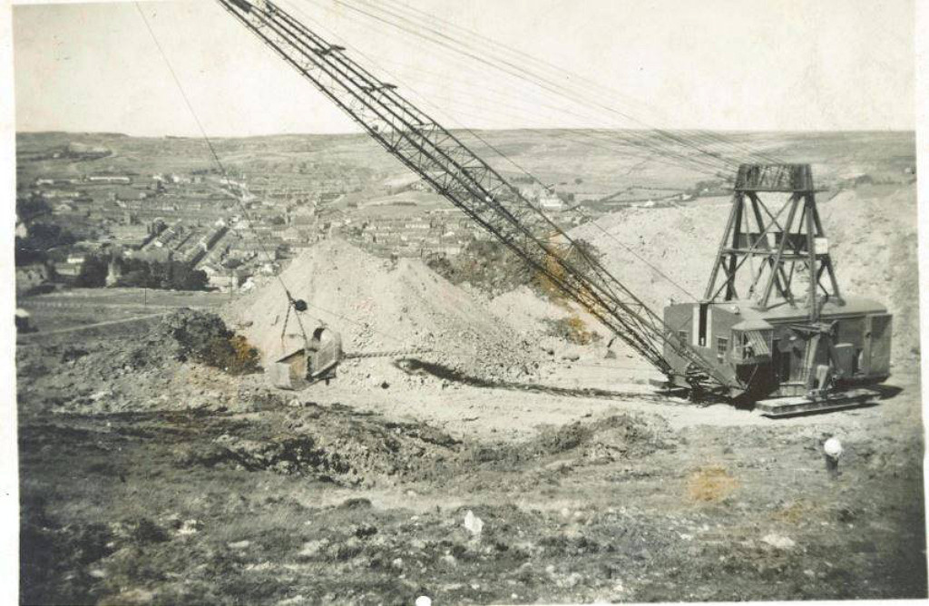
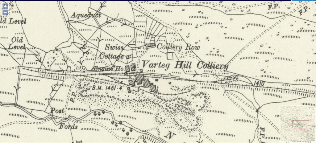
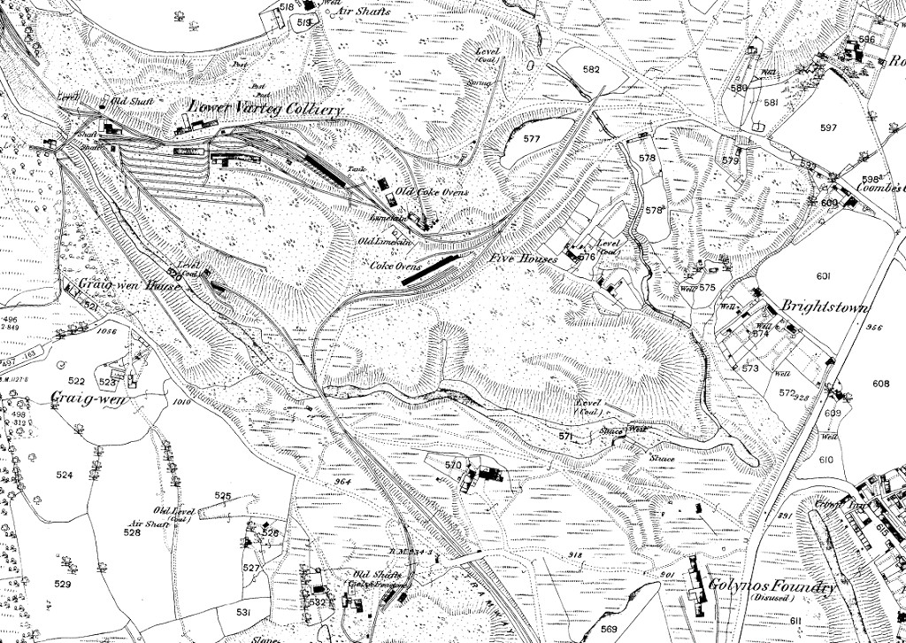 Lower Varteg Colliery, 1880 |
 Lower Varteg Colliery, 1901 |
 Lower Varteg Colliery, 1920 |
|
 Golynos and Garndiffaith |
 Lower Varteg GWR branch bridge |
 Lower Varteg GWR branch bridge |
 Lower Varteg GWR branch bridge |
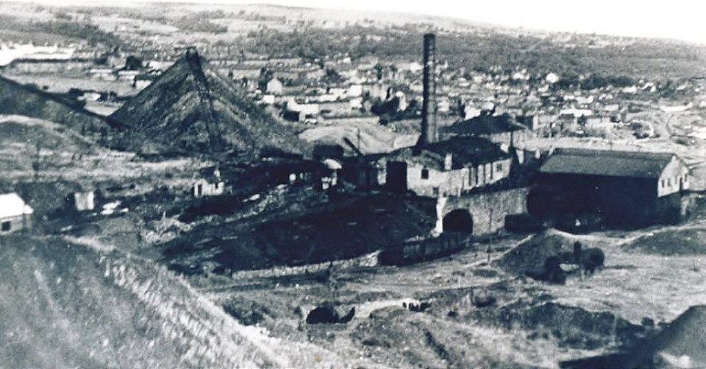
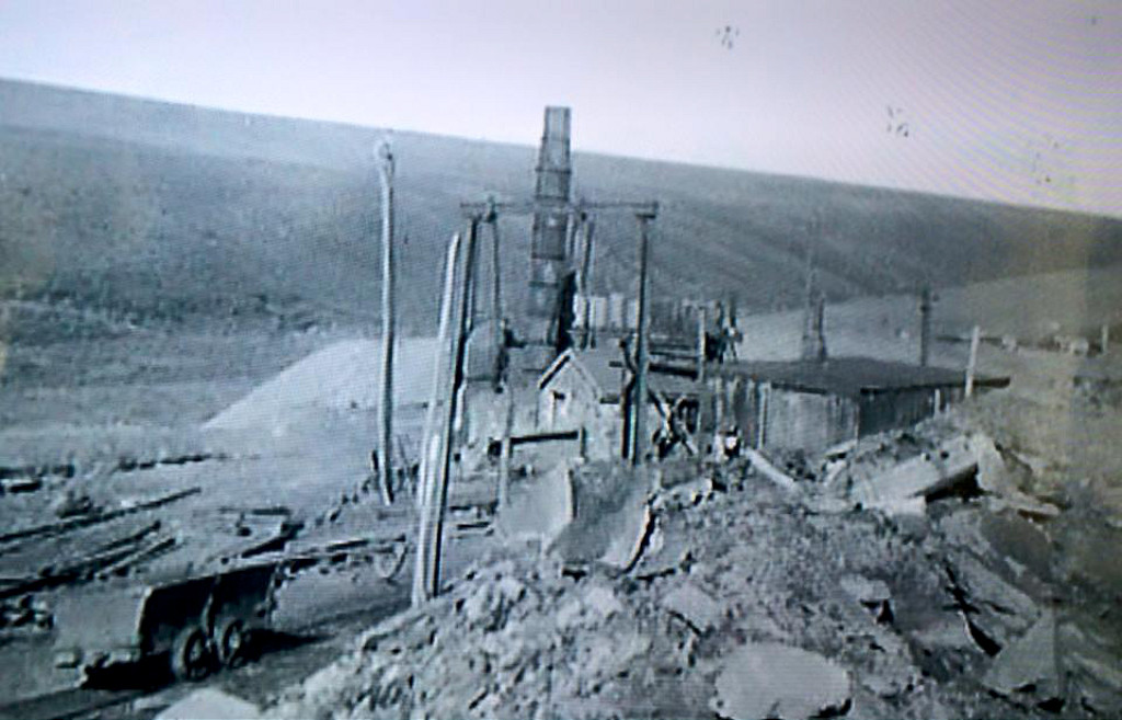
 Lower Varteg Colliery c1968 |
 Lower Varteg Colliery c1968 |
 Lower Varteg Colliery c1968 |
 Lower Varteg Colliery c1968 |
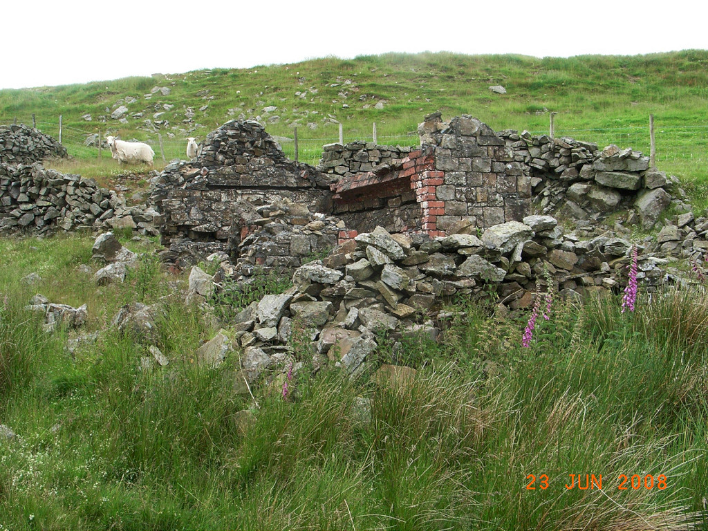
 Lower Varteg Colliery |
 Lower Varteg Colliery |
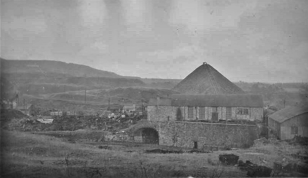 Lower Varteg Colliery |
 Lower Varteg Colliery |
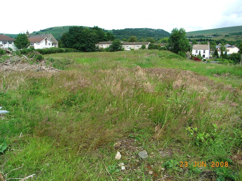
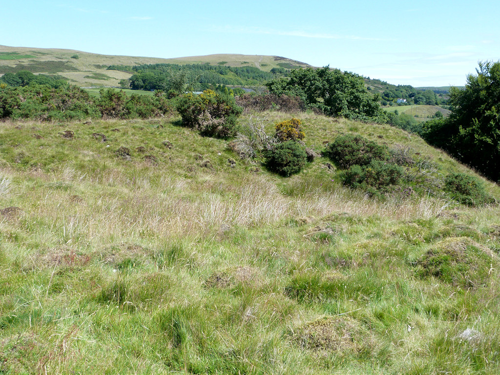
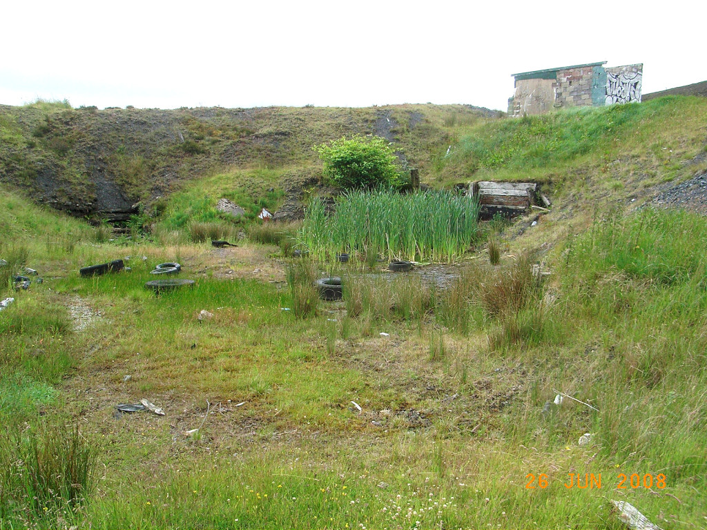
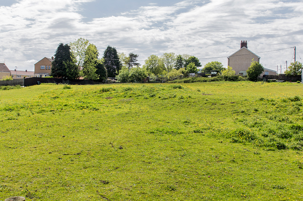
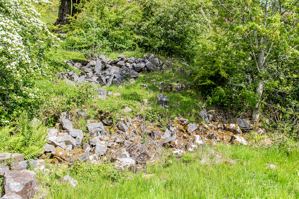
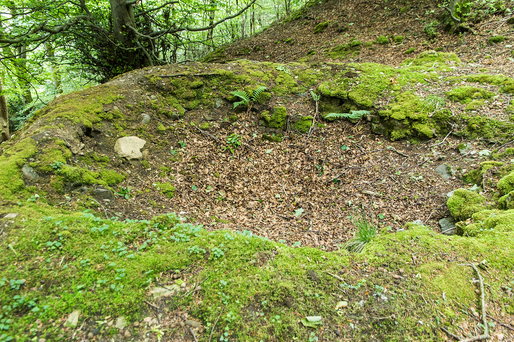
 Lower Varteg Colliery site |
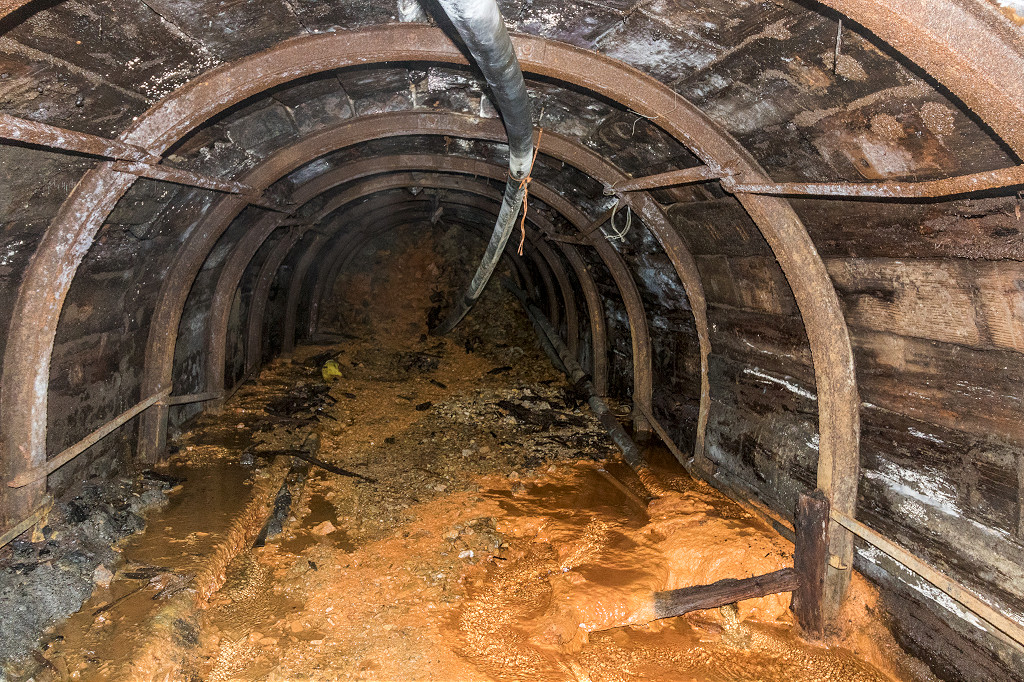
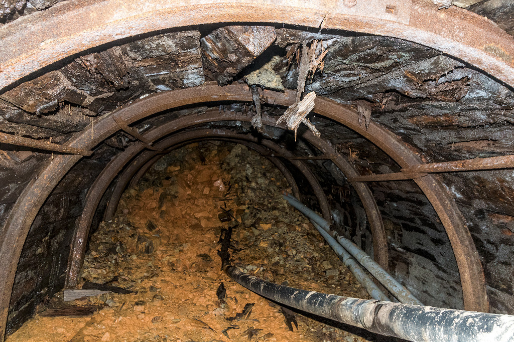
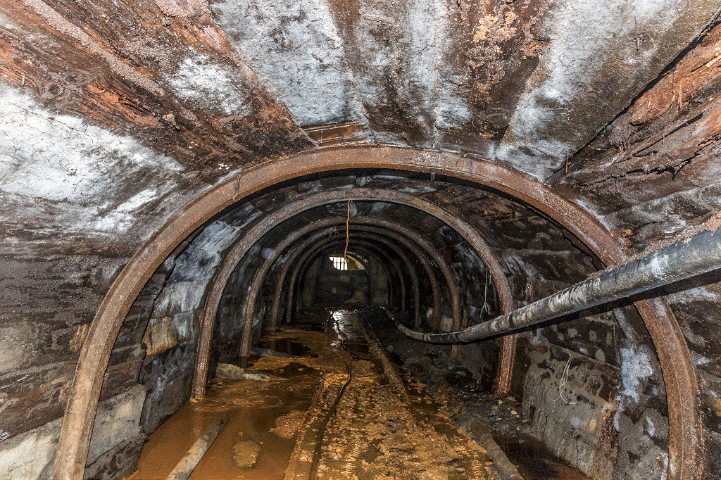
 Lower Varteg Colliery level |
 Lower Varteg Colliery level |
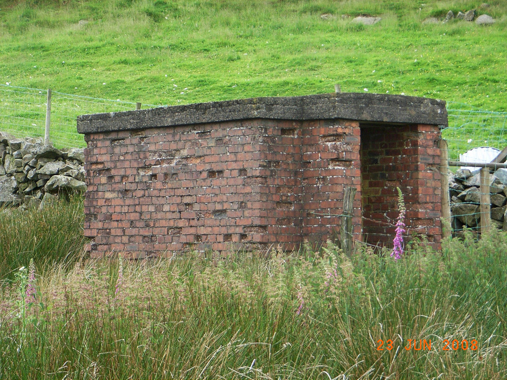
 Lower Varteg Colliery stables |
 The air shaft of Deakins Slope |
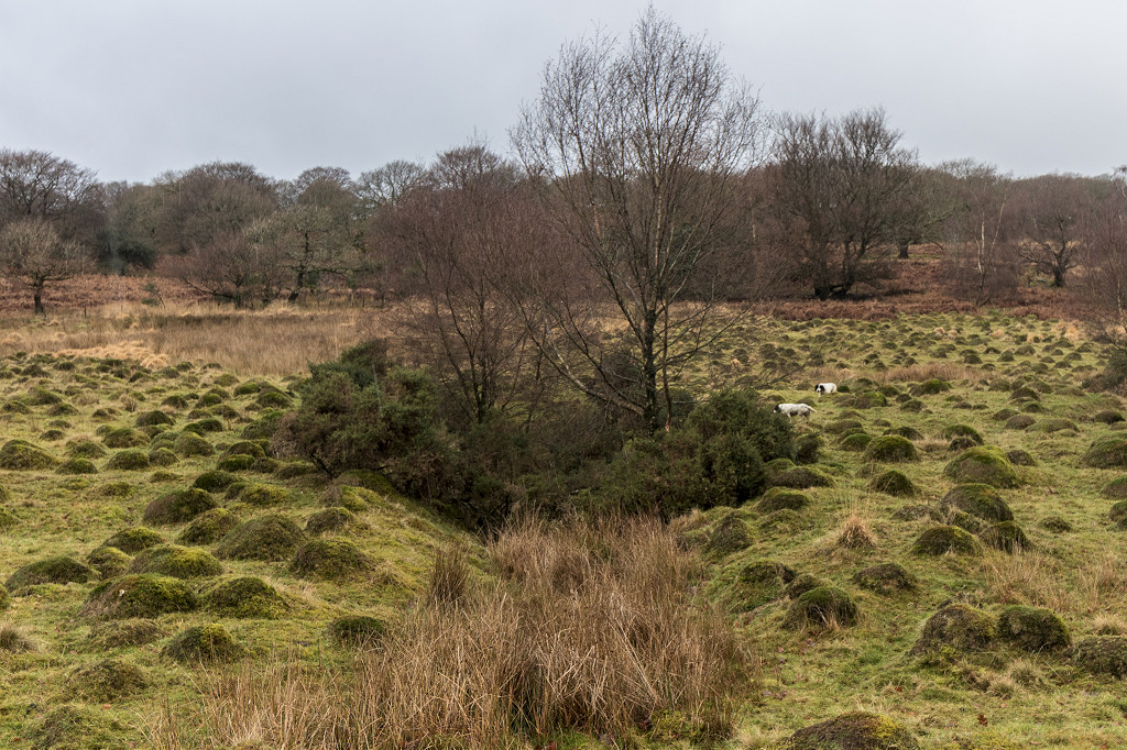
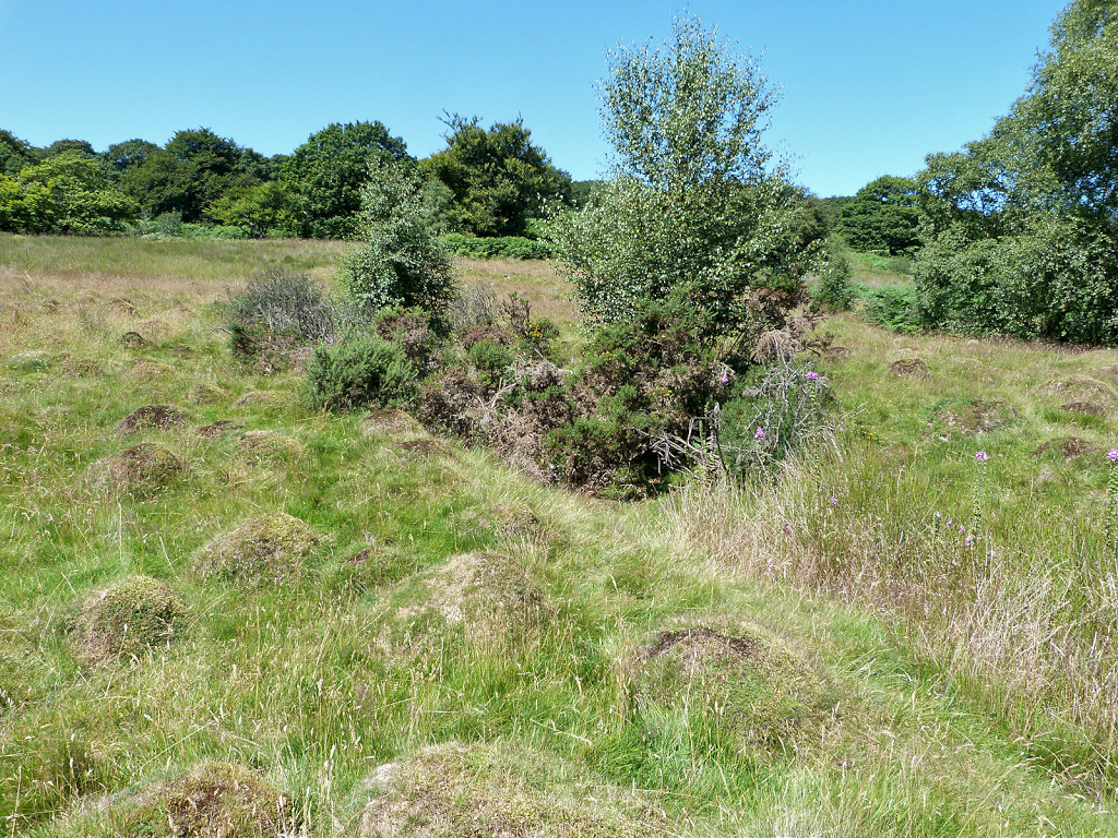
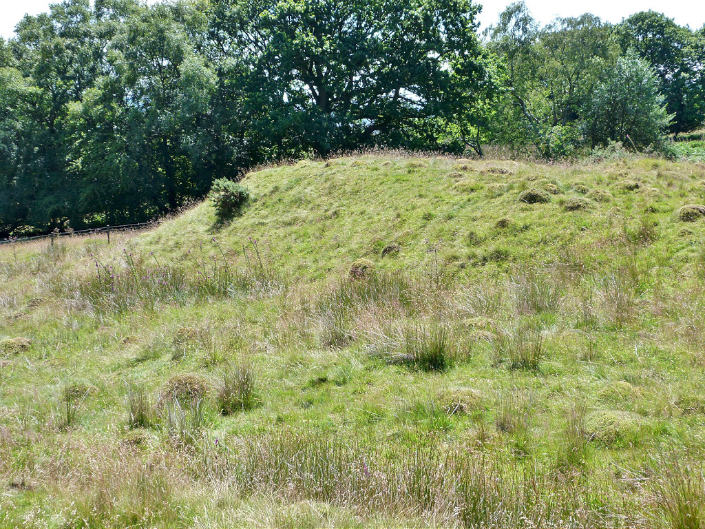
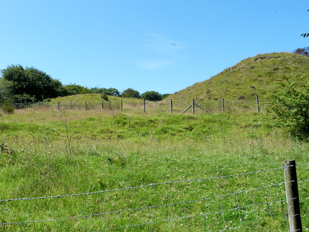
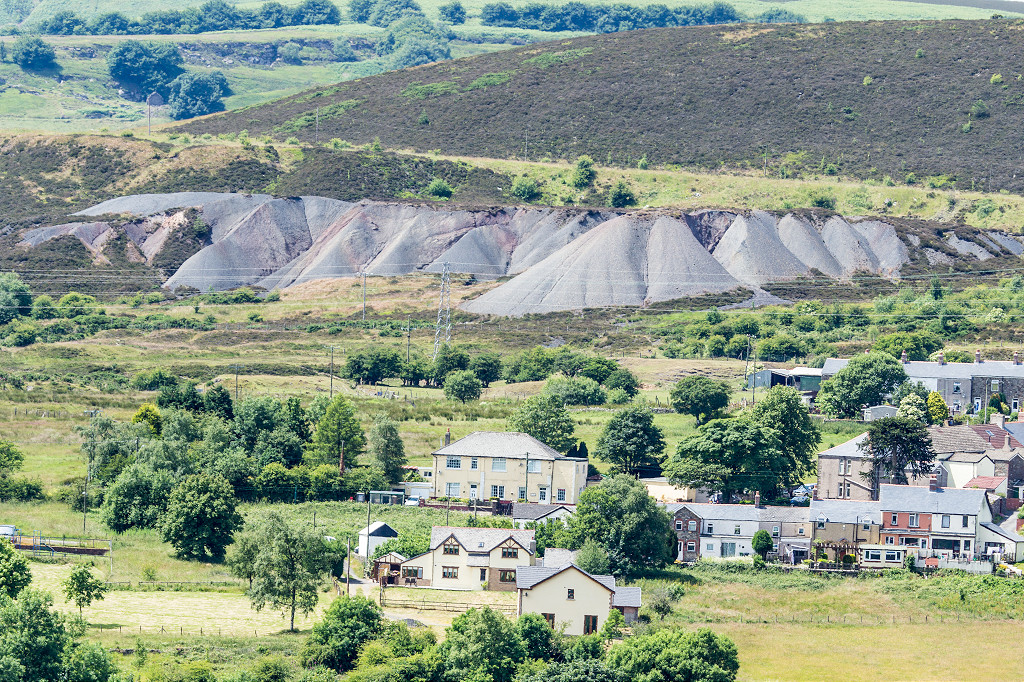
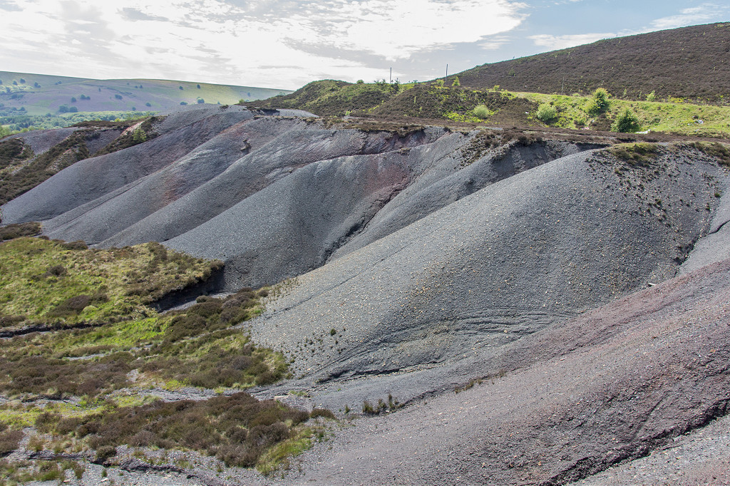
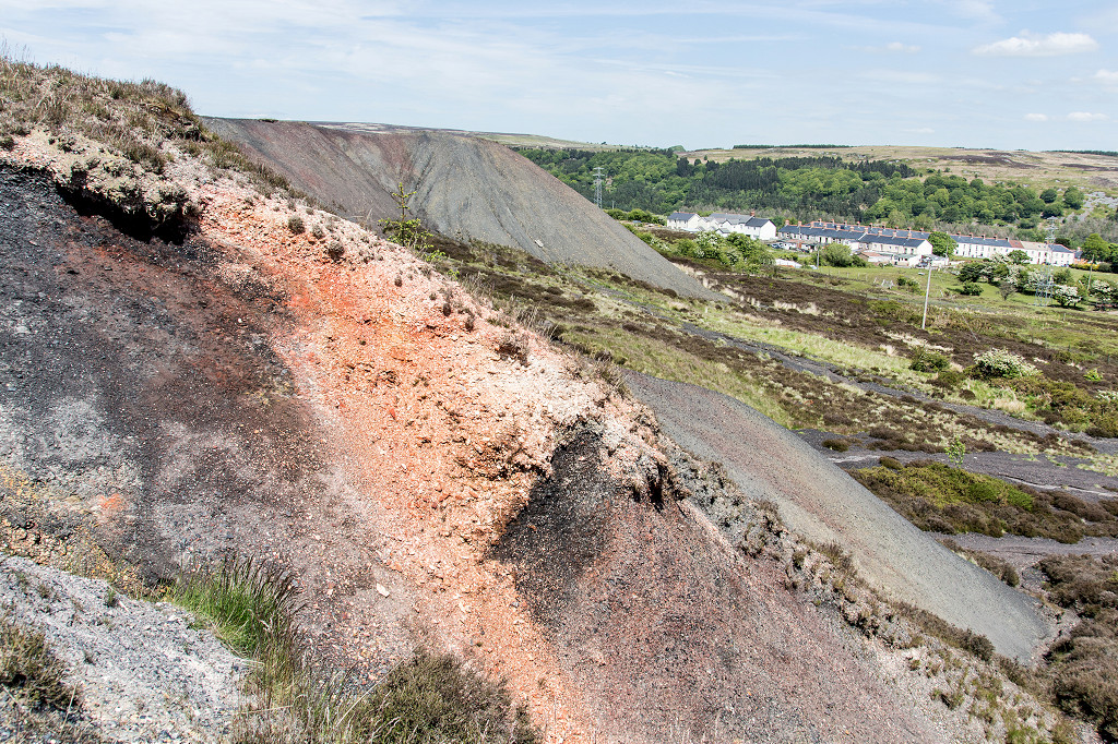
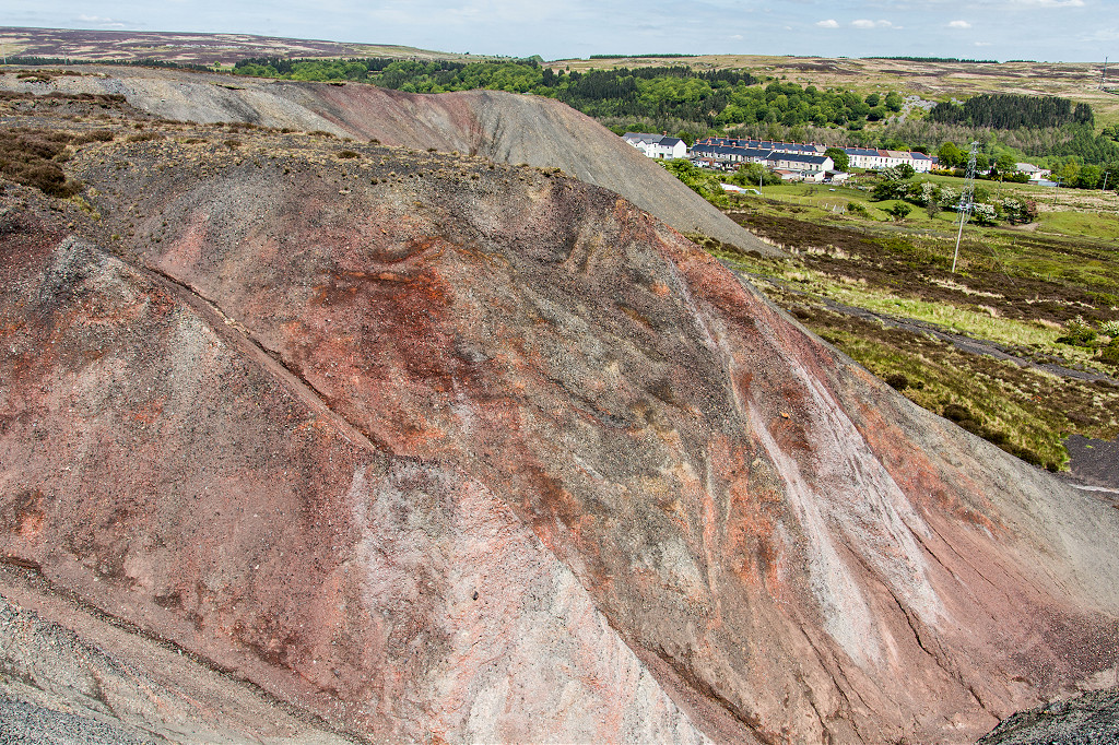
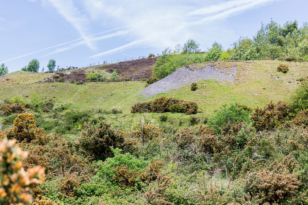
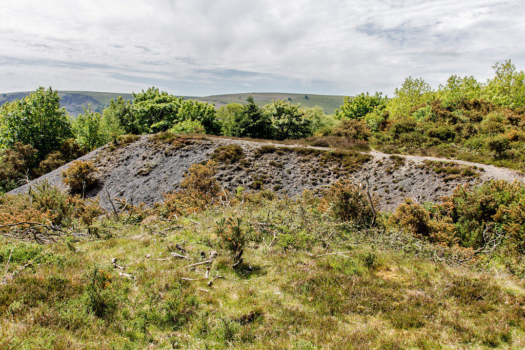
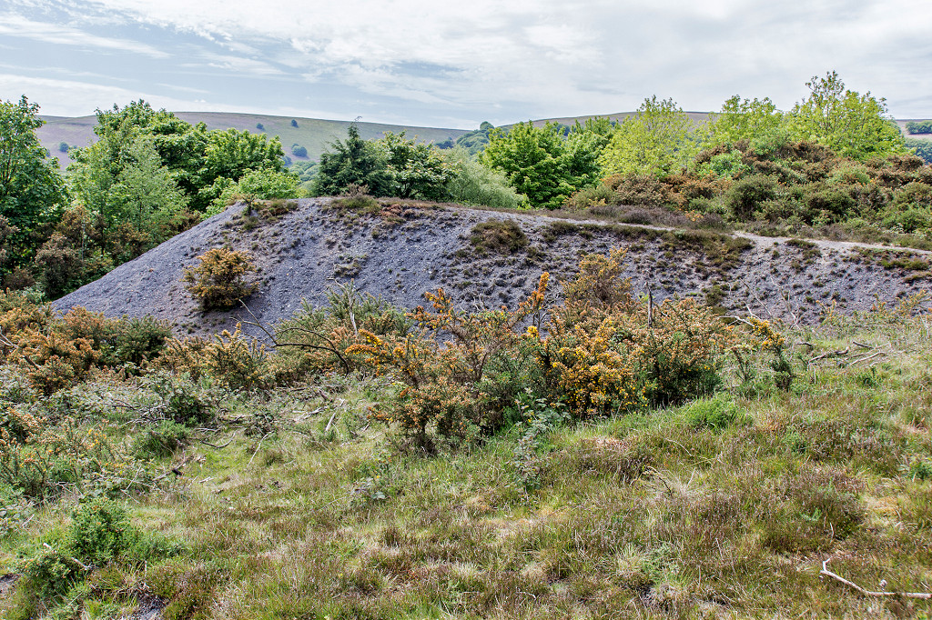
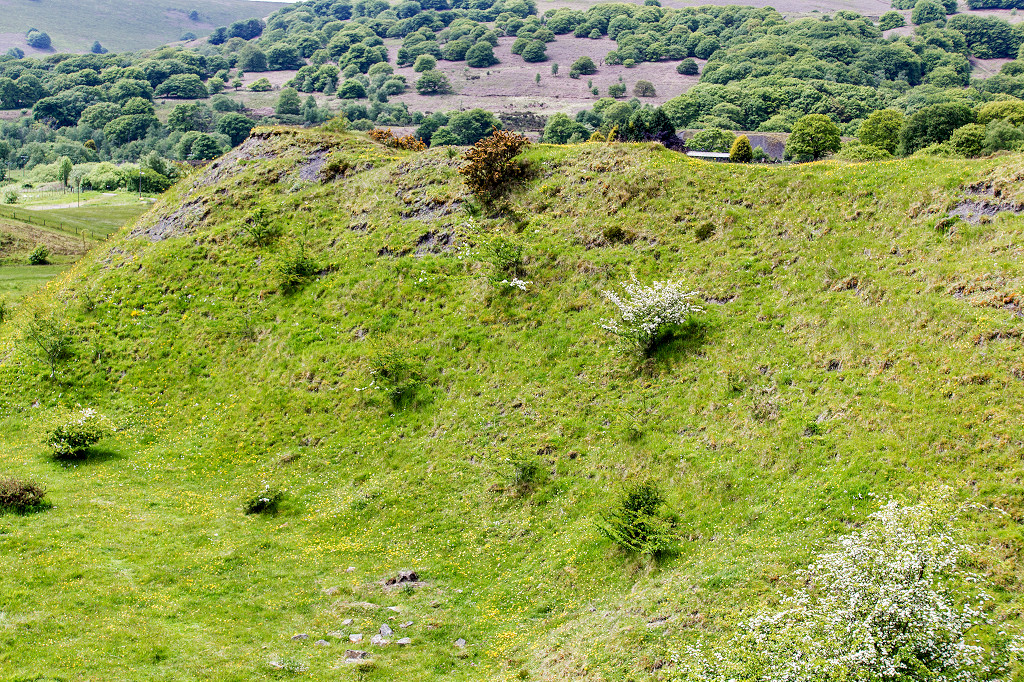
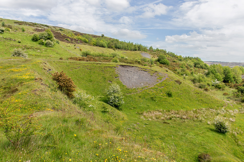
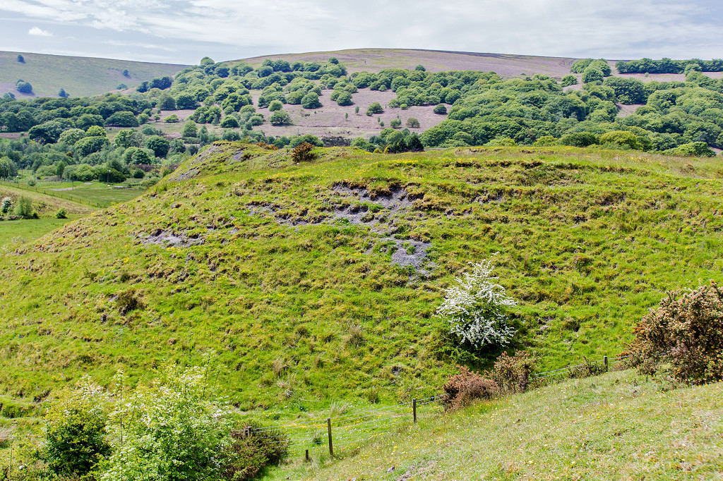
 Lower Varteg Colliery tips |
 Lower Varteg Colliery tips |
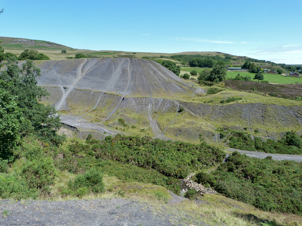 Lower Varteg Colliery tips |
 Lower Varteg Colliery tips |
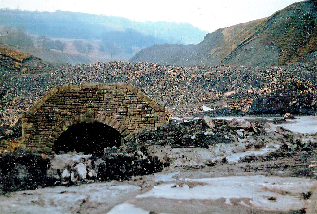
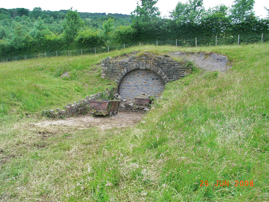
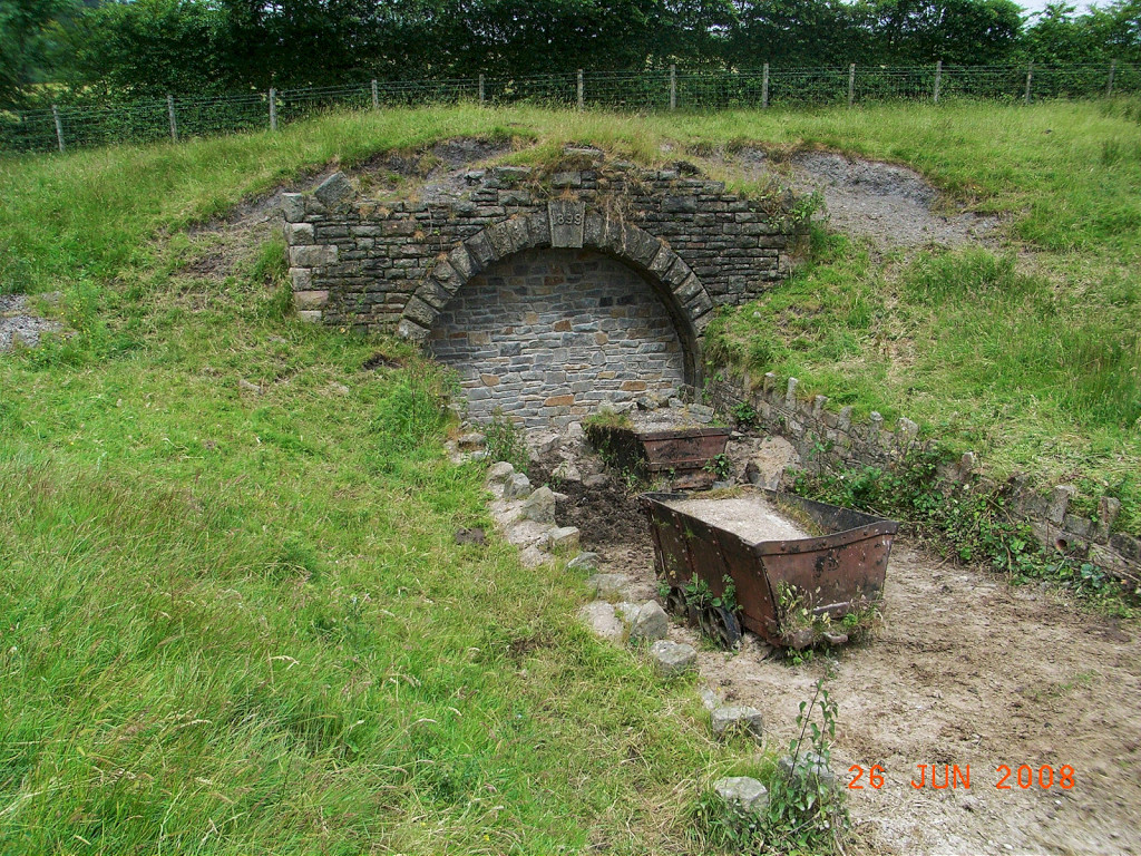
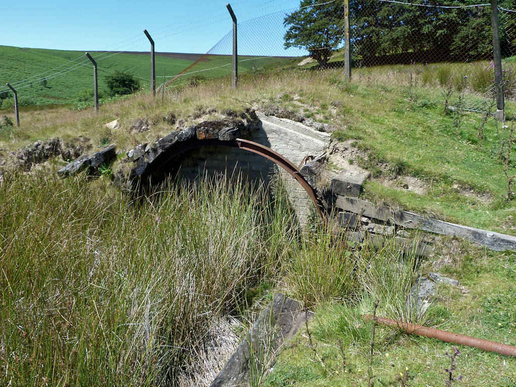
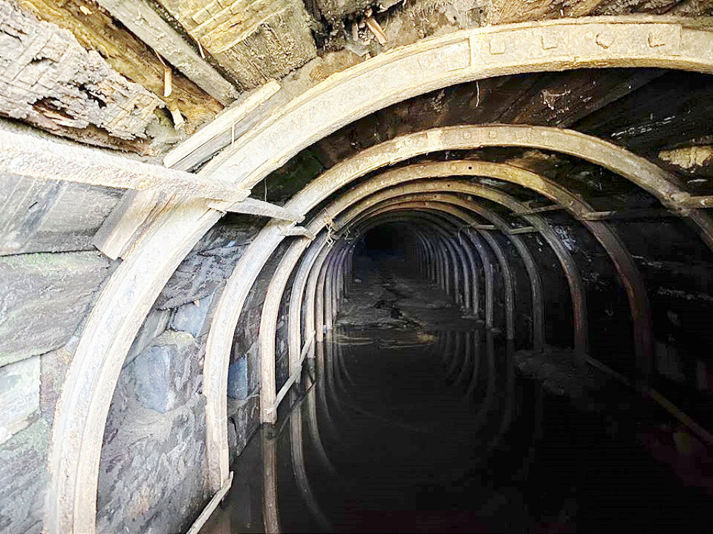
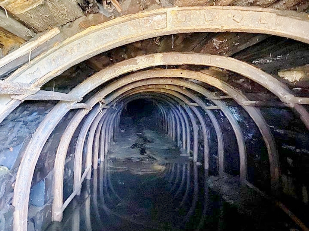
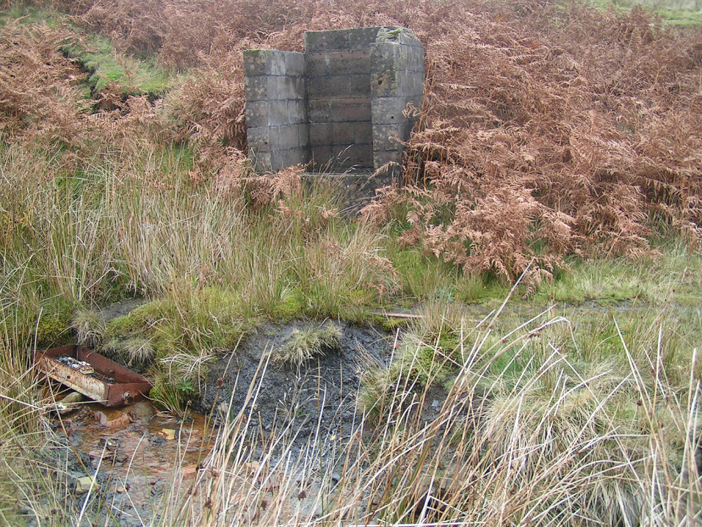
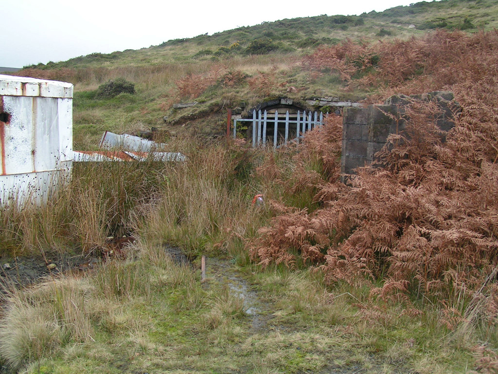
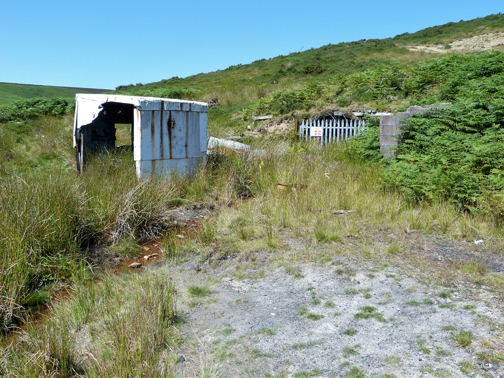
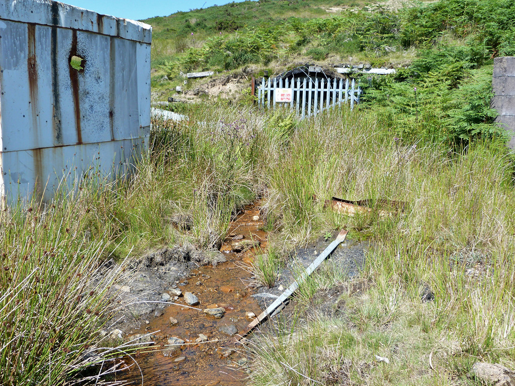
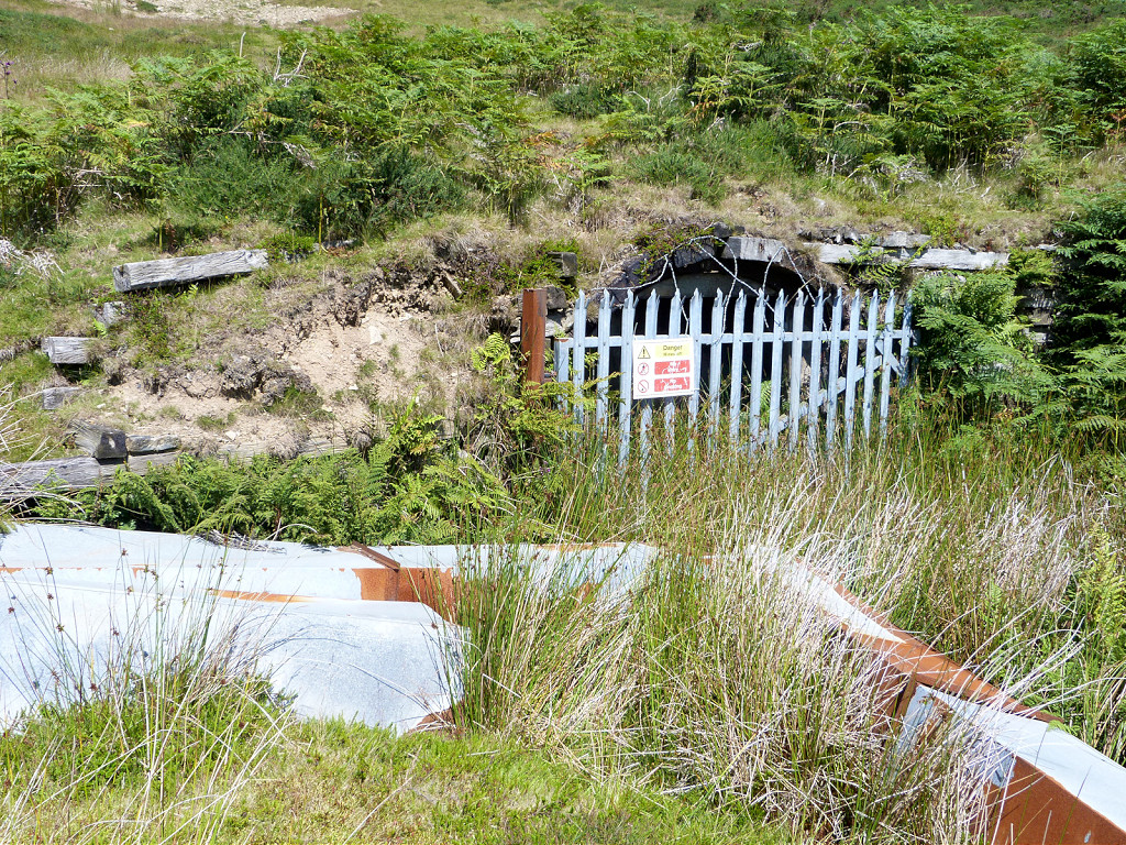
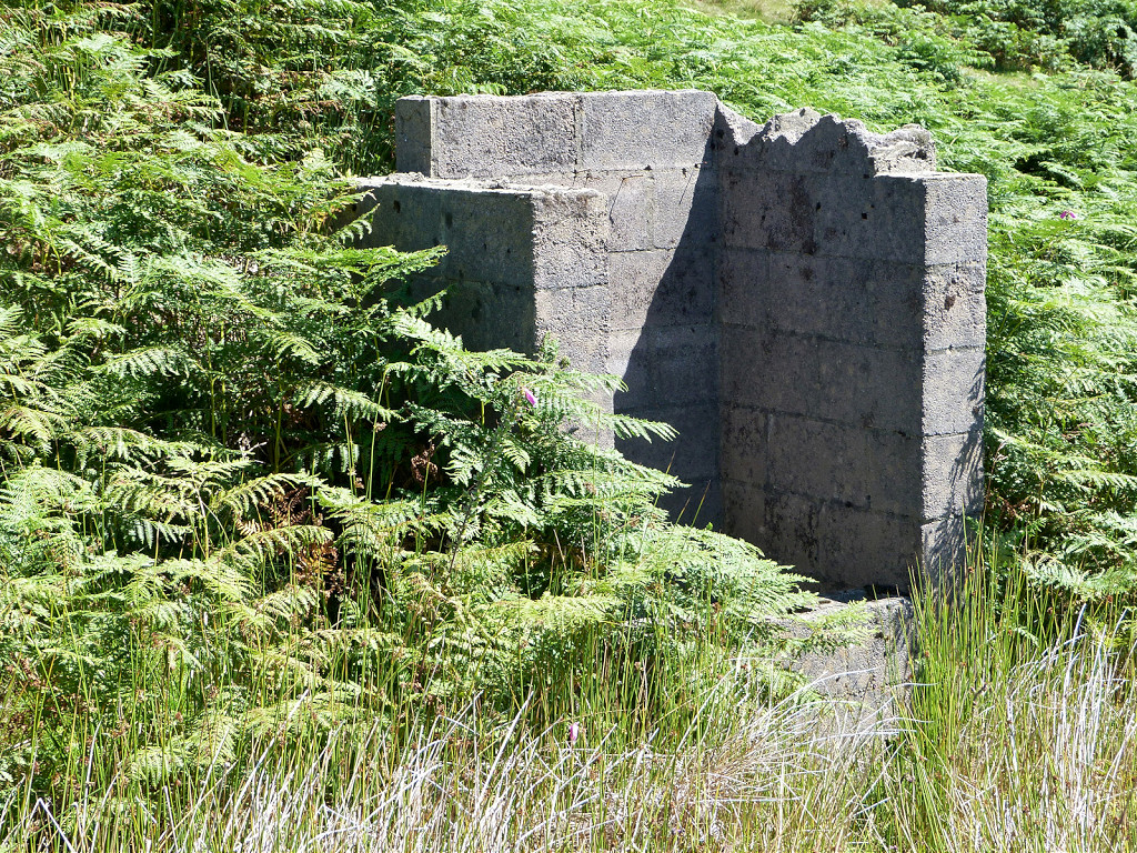
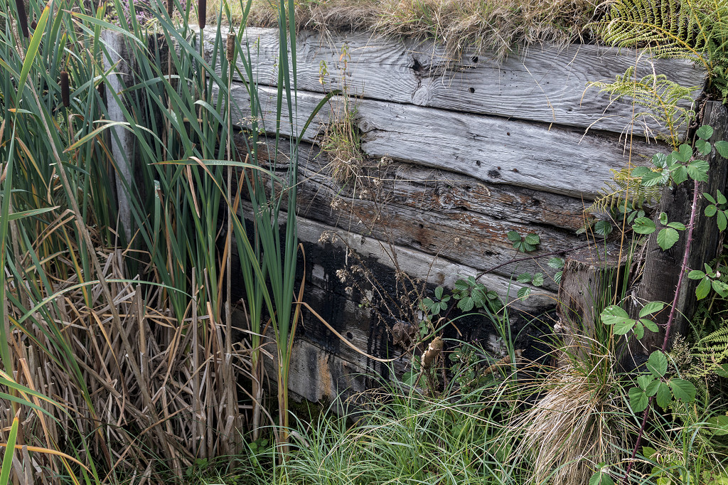
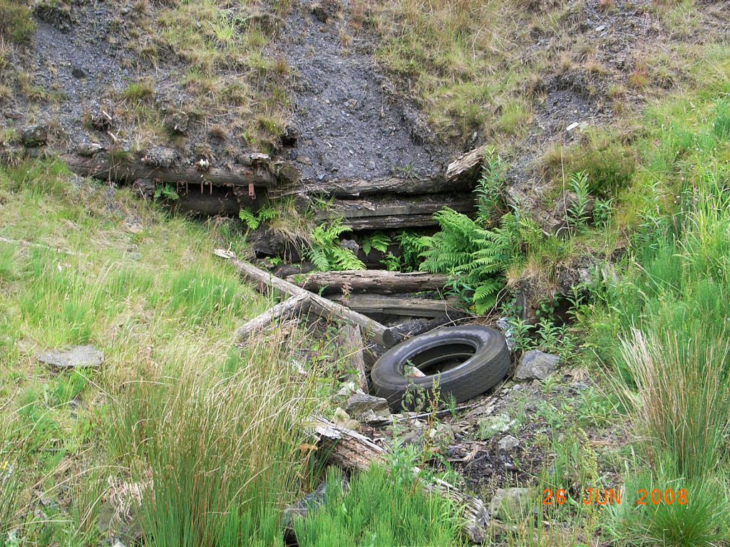
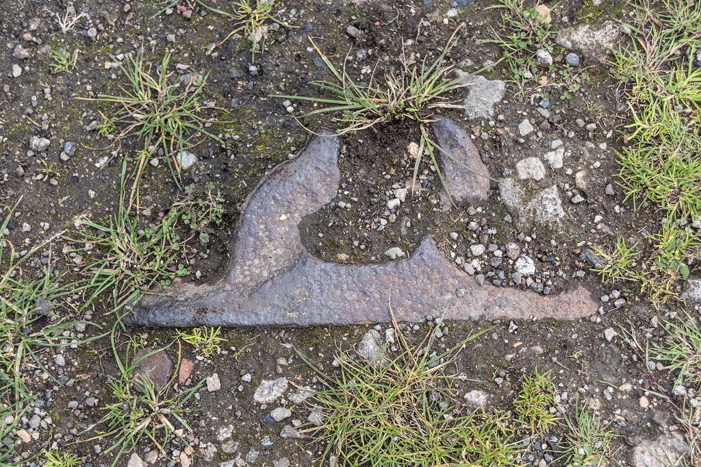
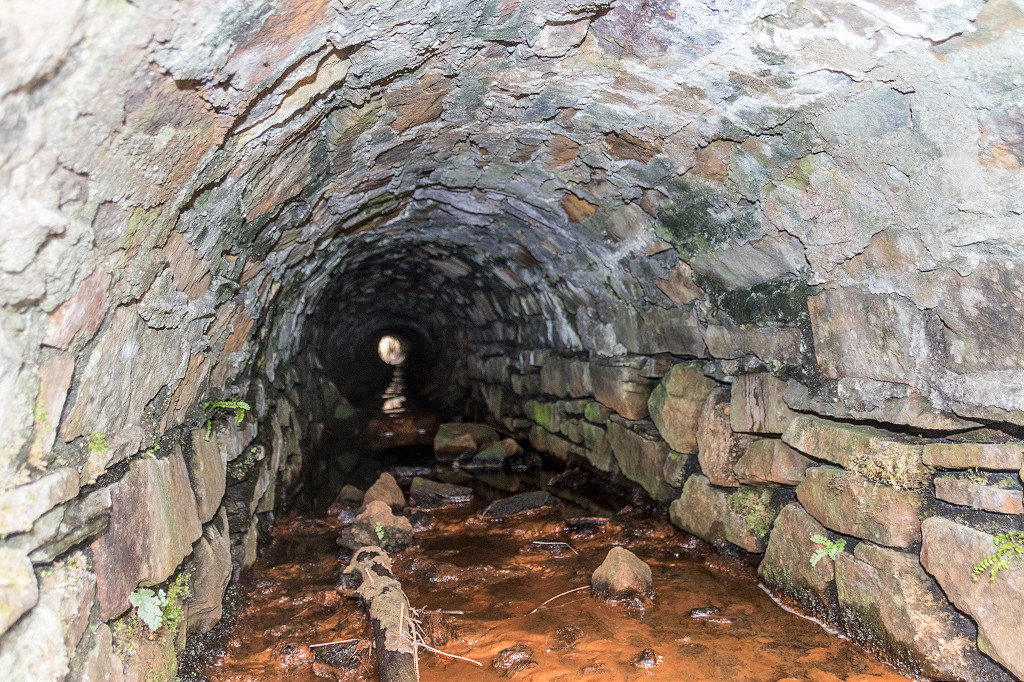
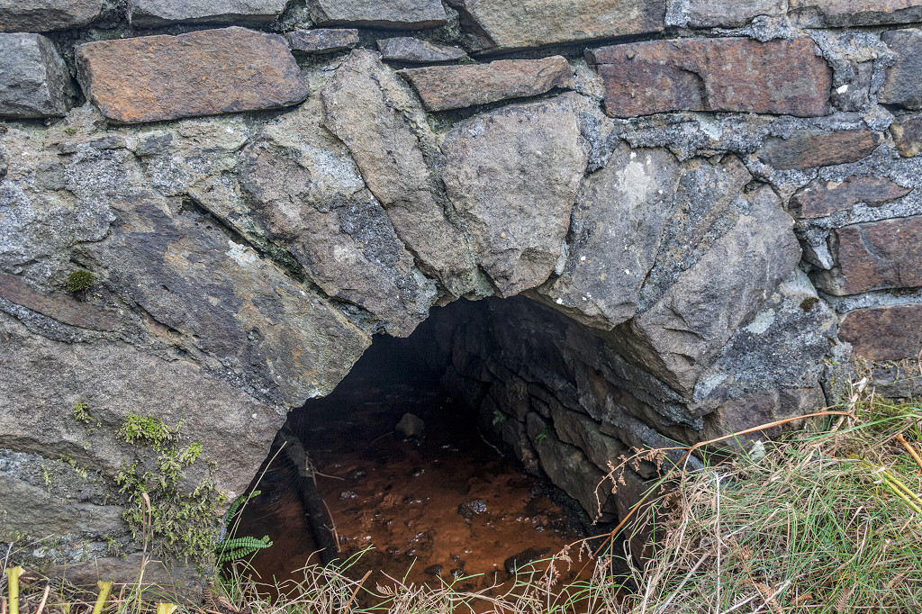
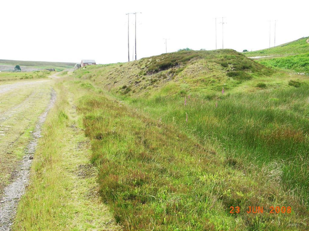
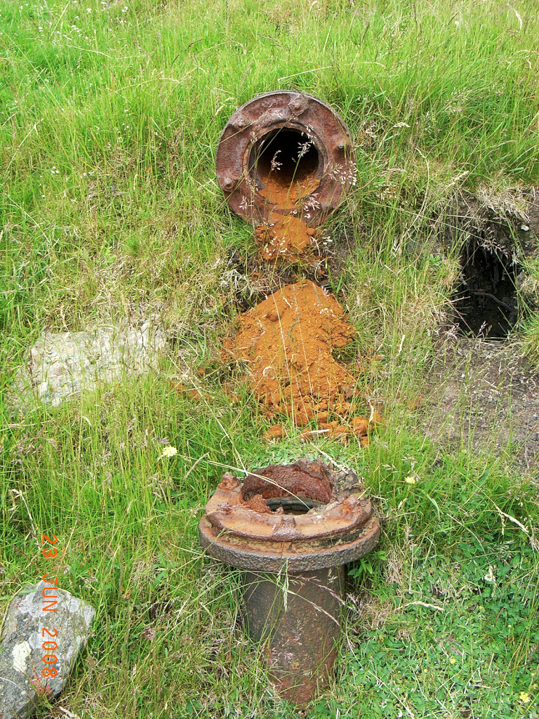
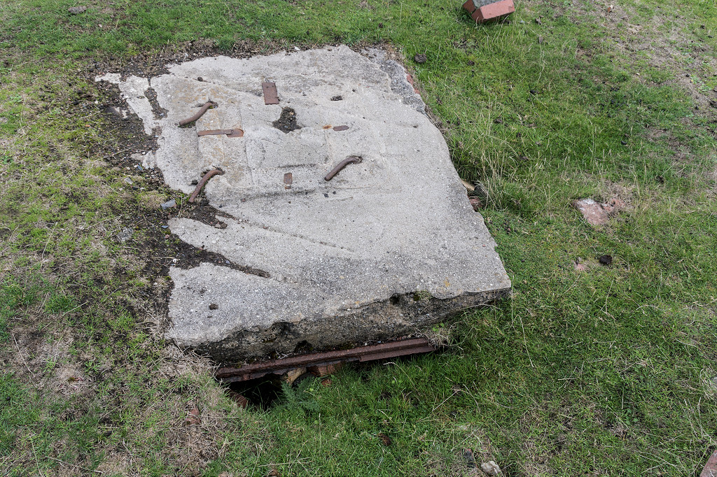
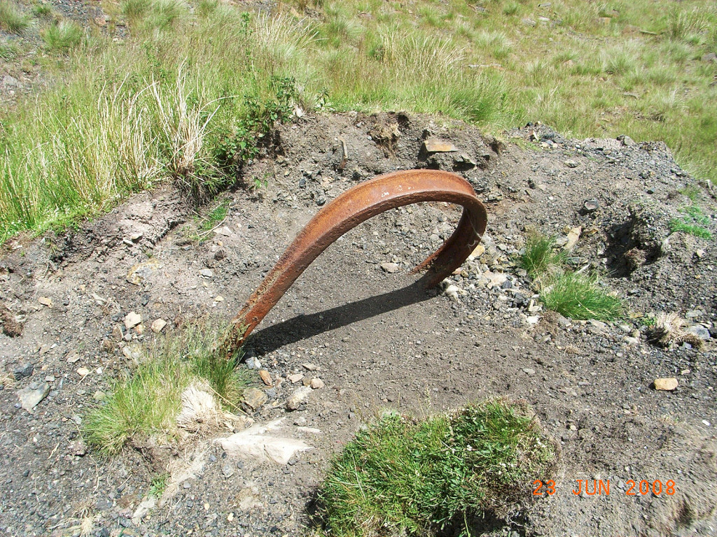
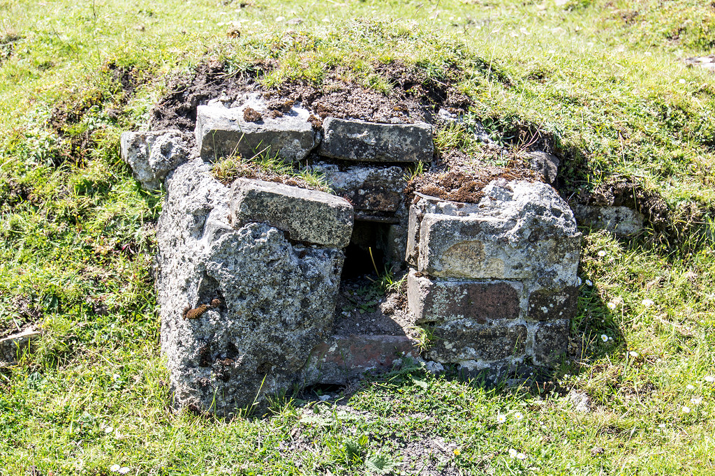
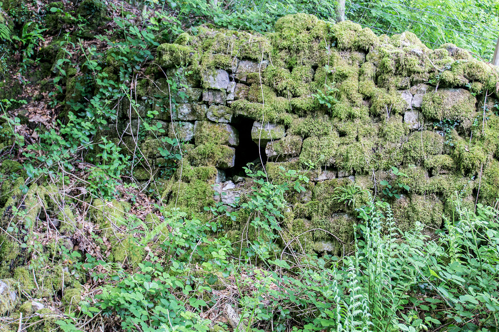
 Culvert at Lower Varteg Colliery |
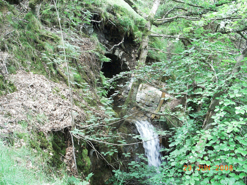 Culvert at Lower Varteg Colliery |
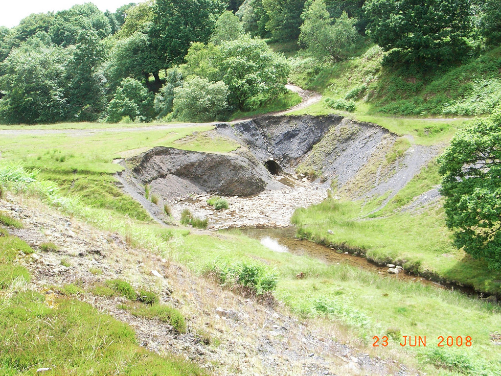 Culvert at Lower Varteg Colliery |
 Cwm Ffrwd and Graig Wen, 1880 |
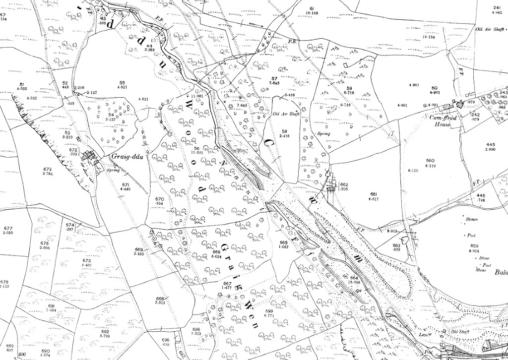 Cwm Ffrwd and Graig Wen, 1901 |
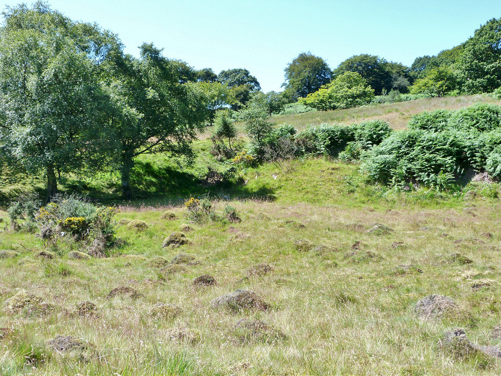
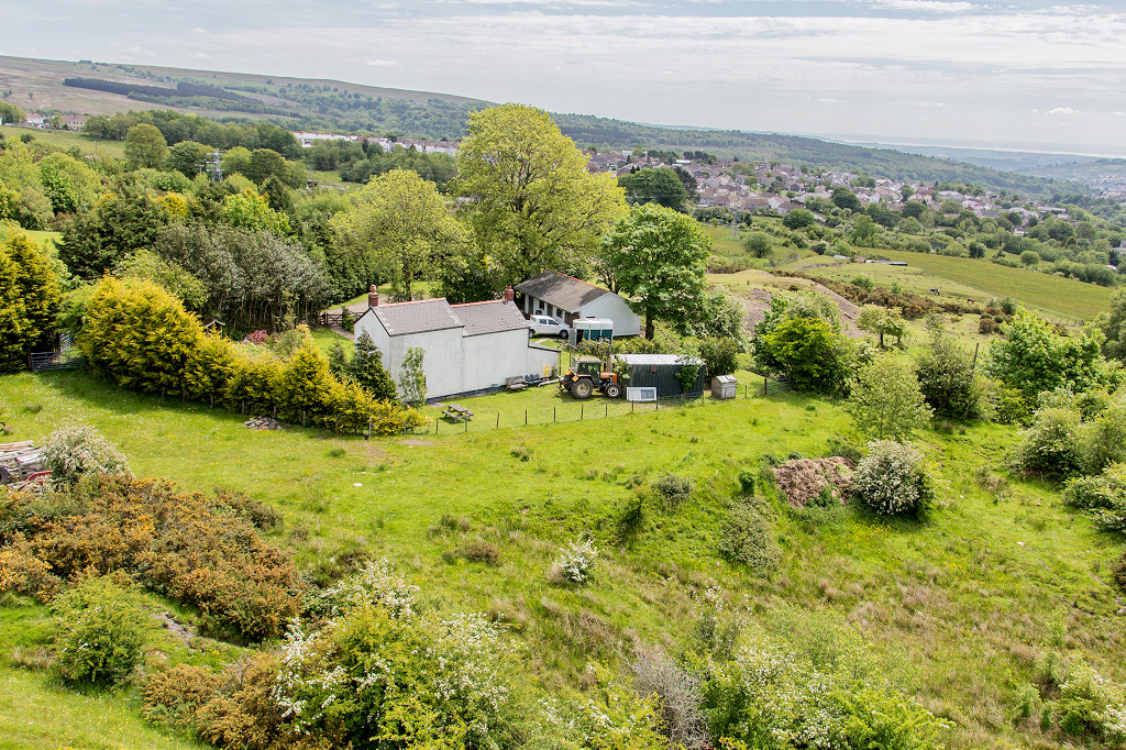
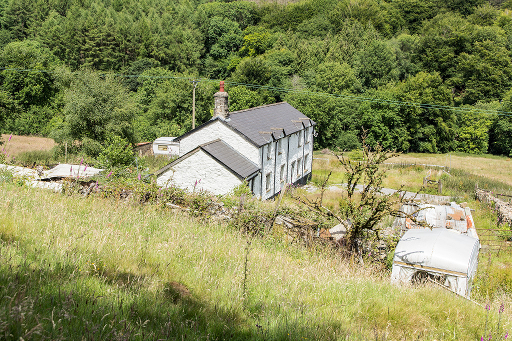
 Graig Wen Farm |
 Graig Wen House level 1 |
 Graig Wen House level 1 |
 Graig Wen House level 1 tips |
 Graig Wen House level 2 tips |
 Graig Wen House levels tips |
 Access lane to Graig Wen levels |
 Graig Wen House quarry area |
 Graig Wen House quarry area |
 Graig Wen quarry level |
 Graig Wen quarry level |
 Reservoir or water course |
 Reservoir or water course |
 Graig Ddu Farm |
 Graig Wen Colliery, view over site |
 Graig Wen Colliery, view over site |
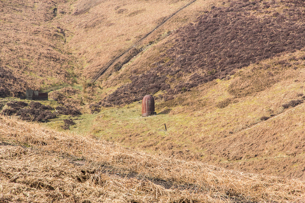
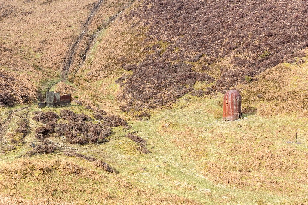
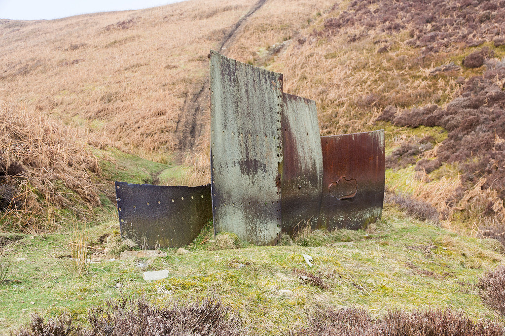
 Graig Wen Colliery, metal box |
 Graig Wen Colliery, metal box |
 Graig Wen Colliery, Eastern level |
 Graig Wen Colliery, Eastern level |
 Graig Wen Colliery, Eastern level |
 Graig Wen Colliery, Eastern level |
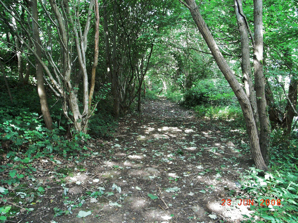
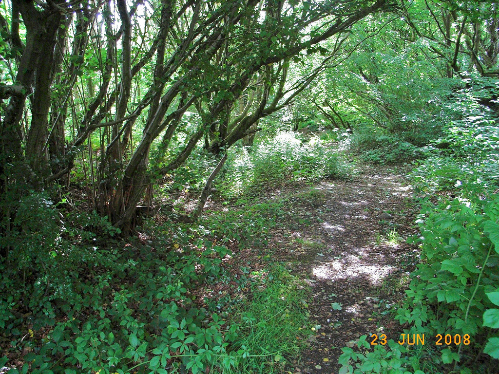
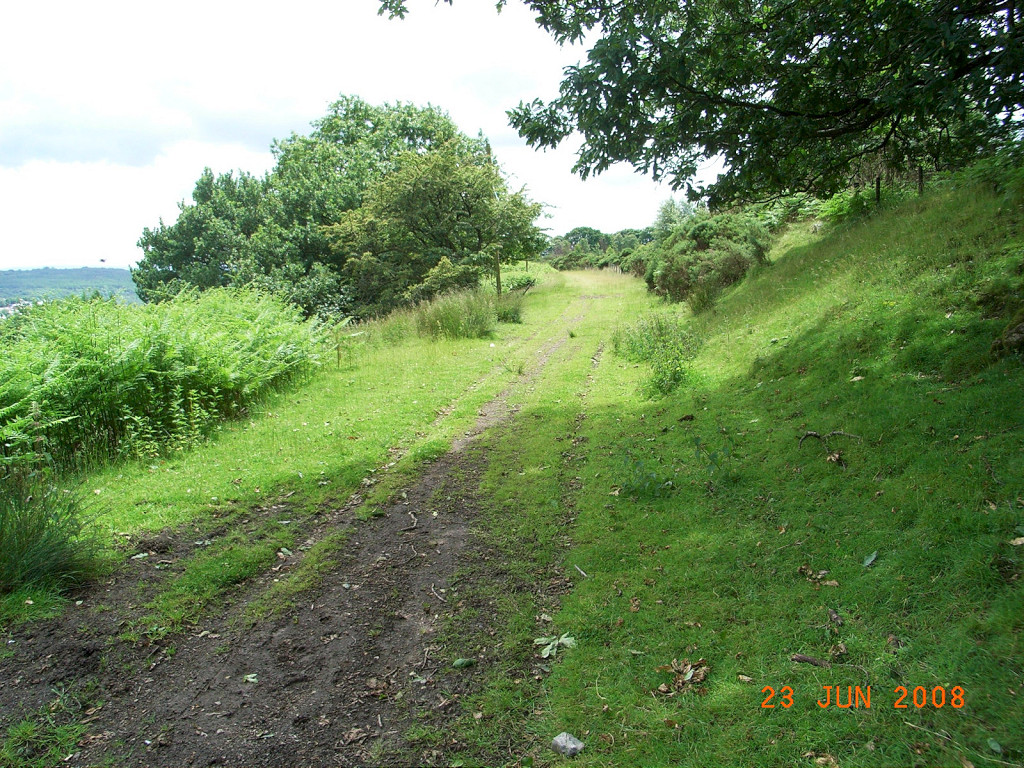
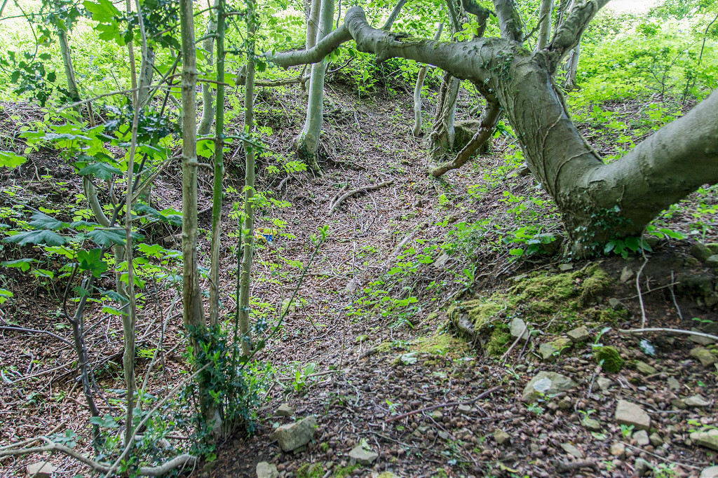
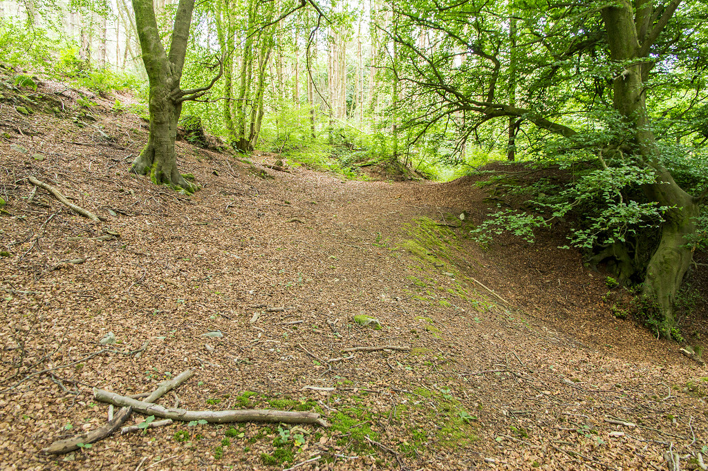
 Colliery trackbed between levels |
 Colliery trackbed between levels |
 Colliery trackbed between levels |
 Colliery trackbed between levels |
 Graig Wen Colliery, Western level |
 Graig Wen Colliery, Western level |
 Graig Wen Colliery, Western level |
 Graig Wen Colliery, Western level |
 Graig Wen Colliery, Western level |
 Graig Wen Colliery, Western level |
 Graig Wen Colliery, Western level |
 Graig Wen Colliery, Western level |
 Graig Wen Colliery, Western level |
 Graig Wen Colliery, Western level |
 Graig Wen Colliery, Western level |
 Graig Wen Colliery, Western level |
 Blaengaefog rifle range |
 Blaengaefog rifle range |
 Blaengaefog rifle range |
 Blaengaefog rifle range |
 Blaengaefog rifle range |
 Blaengaefog rifle range |
 Blaengaefog rifle range |
 Blaengaefog rifle range |
 Blaengaefog rifle range |
 Blaengaefog rifle range |
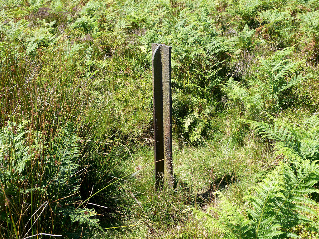
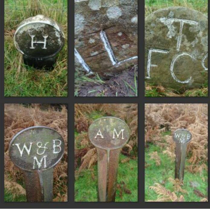
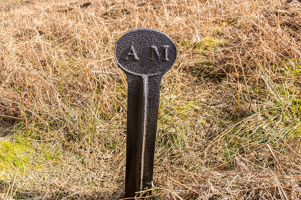 Boundary marker, 'AM' |
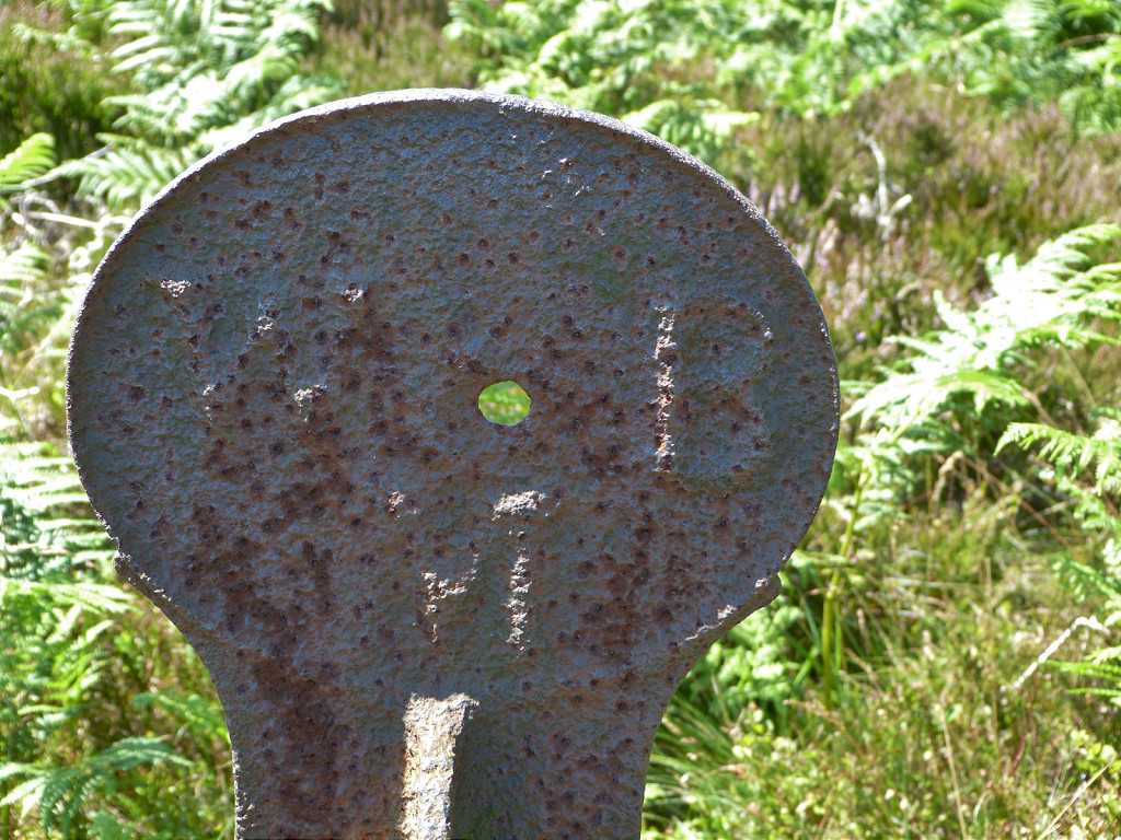
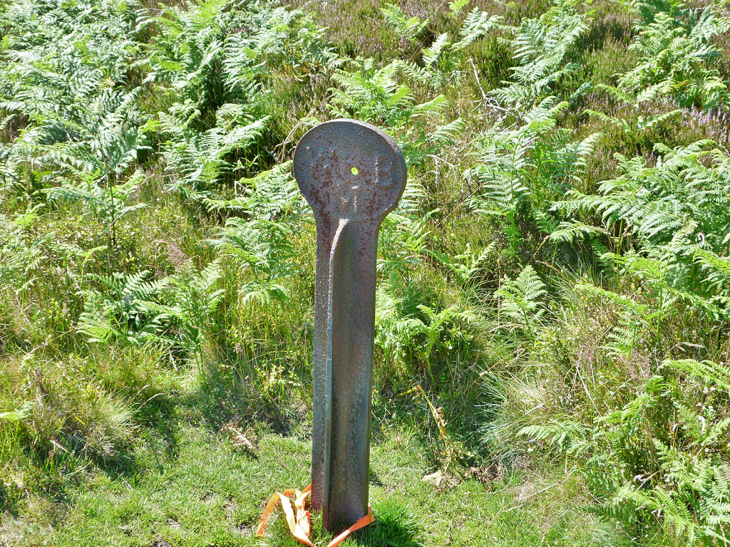
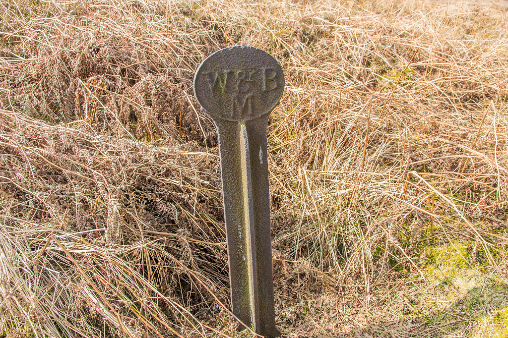 Boundary marker, 'W&BM' |
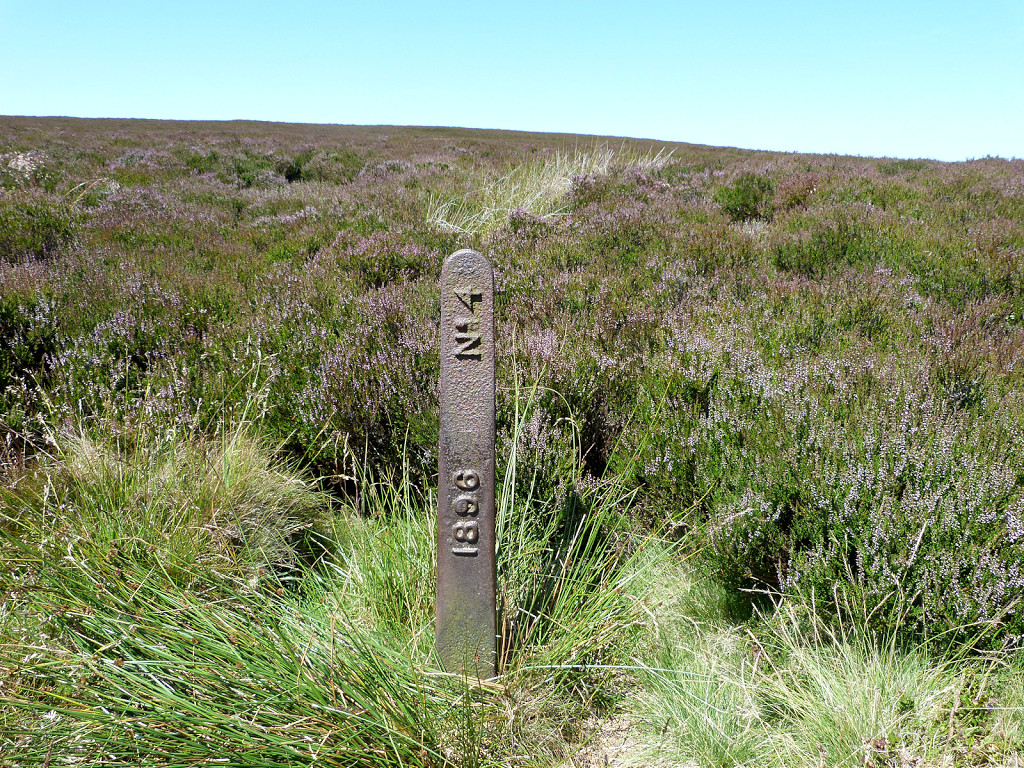 Boundary marker, '1896 No 4' |
 A headless 'W&BM', Waun Wen |
 'W&BM', Waun Wen |
 'W&BM', Waun Wen |
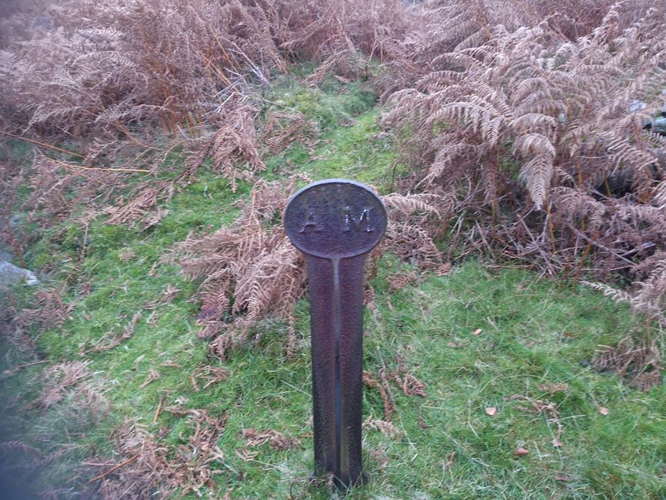 Boundary marker, 'AM' |
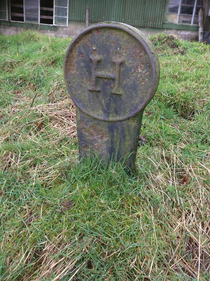 Boundary marker, 'H' |
 Boundary markers, Waun Wen |
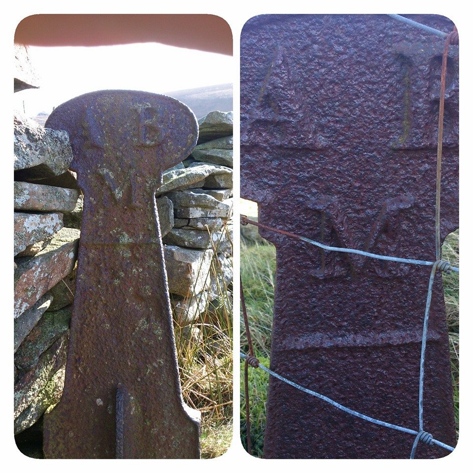 Boundary marker, 'ABM' |
 Zigzag upper route in 1917 |
 Zigzag upper route 1948 |
 Zigzag middle route 1948 |
 Zigzag lower route 1948 |
 Varteg Zigzag Railway, Top level 0 |
 Varteg Zigzag Railway, Top level 1 |
 Varteg Zigzag Railway, Top level 1 |
 Varteg Zigzag Railway, Top level 1 |
 Varteg Zigzag Railway, Top level 1 |
 Varteg Zigzag Railway, Top level 1 |
 Level 1 down to level 2 on left |
 Level 2 sleeper |
 Level 2 down to level 3 on right |
 Level 3 towards level 2 |
 Level 3 on left, level 2 on right |
 Level 3 towards level 4 |
 Varteg Incline looking down |
 Varteg Incline looking down |
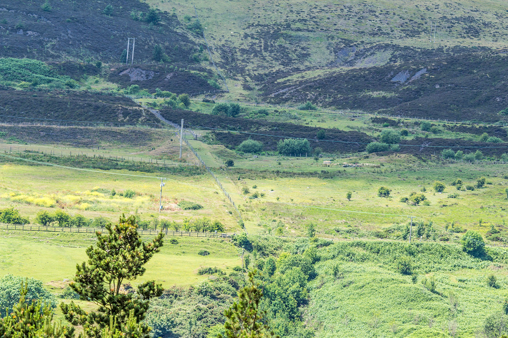 Varteg Incline from Lasgarn |
 Varteg Incline from Lasgarn |
 Cwm Glo Colliery switchgear |
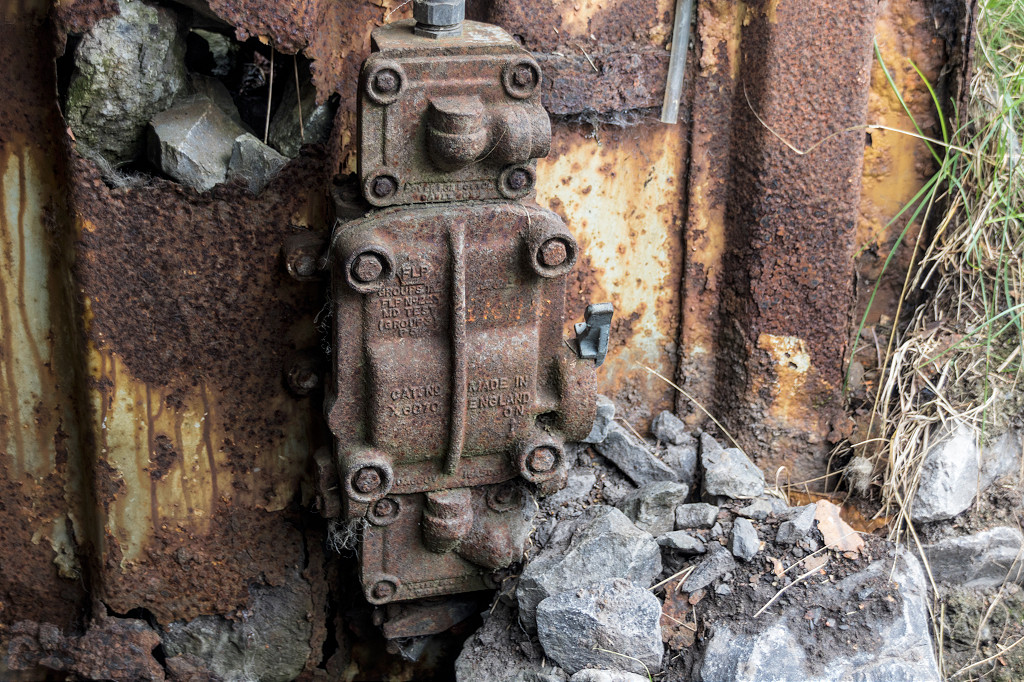 Cwm Glo Colliery switchgear |
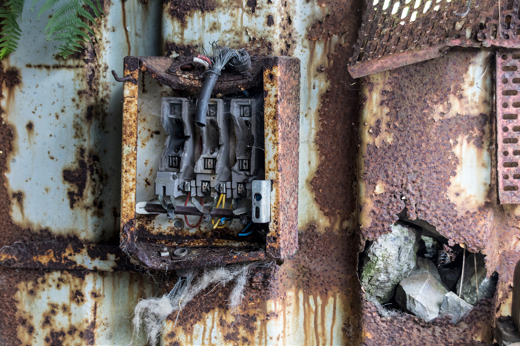 Cwm Glo Colliery switchgear |
 Cwm Glo Colliery, Varteg Hill |
 Cwm Glo Colliery safety brake |
 Cwm Glo Colliery, Varteg Hill |
 Cwm Glo Colliery, Varteg Hill |
 Cwm Glo Colliery, Varteg Hill |
 Cwm Glo Colliery, Varteg Hill |
 Cwm Glo Colliery, Varteg Hill |
 Cwm Glo Colliery, Varteg Hill |
 Cwm Glo Colliery, Varteg Hill |
 Cwm Glo Colliery, Varteg Hill |
 Cwm Glo Colliery, Varteg Hill |
 Cwm Glo Colliery, Varteg Hill |
 Cwm Glo Colliery, Varteg Hill |
 Cwm Glo Colliery, Varteg Hill |
 Cwm Glo Colliery lower level |
 Cwm Glo Colliery lower level |
 Cwm Glo Colliery lower level |
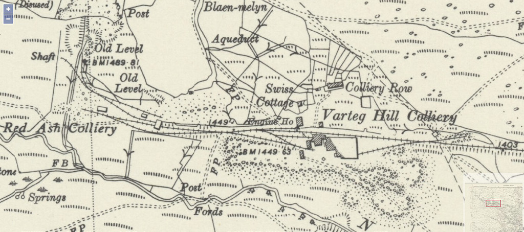
 Varteg Hill Colliery in 1880 |
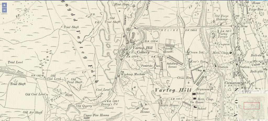 Varteg Hill Colliery in 1899 |
Varteg Hill Colliery in 1917 |
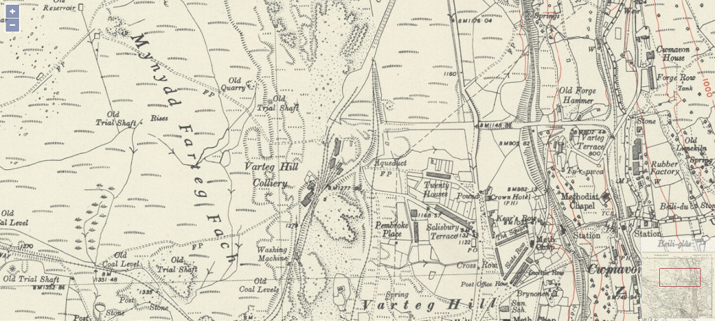 Varteg Hill Colliery in 1948 |
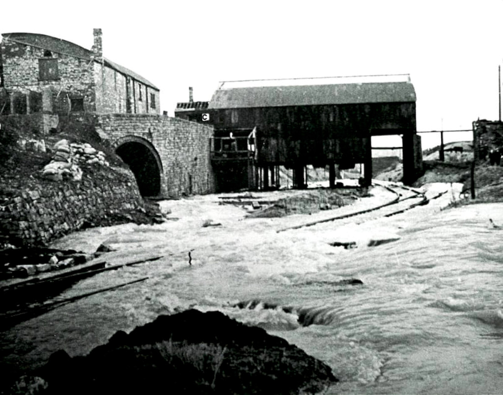
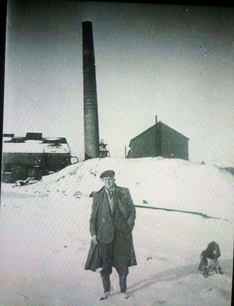
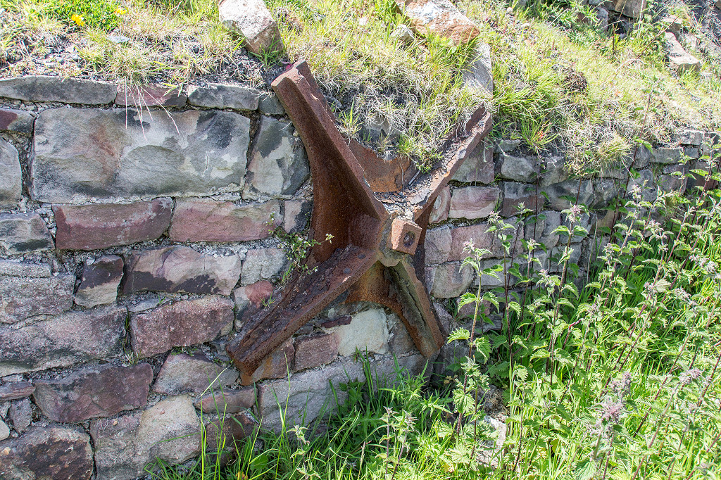
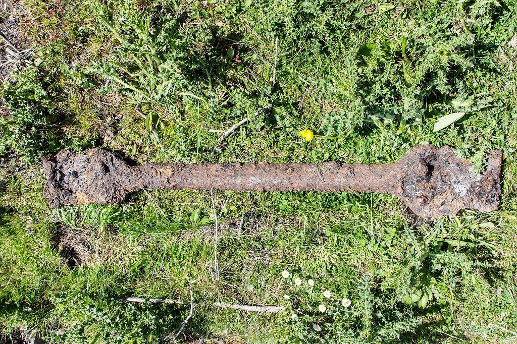
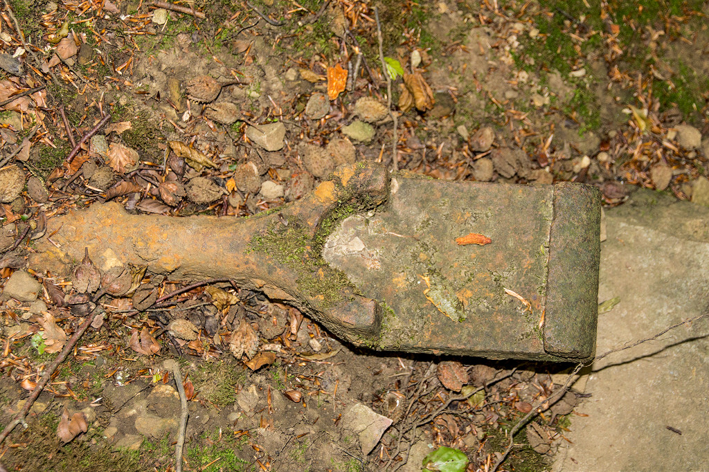
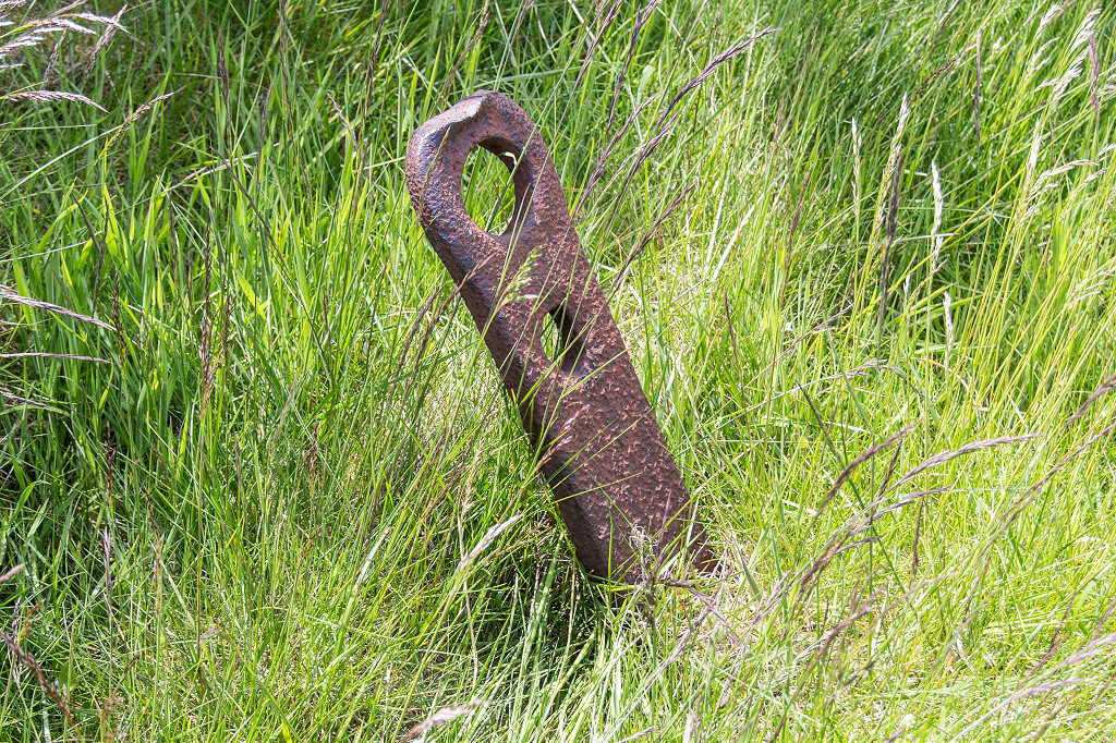 Varteg Colliery ironmongery |
 Varteg Colliery shaft |
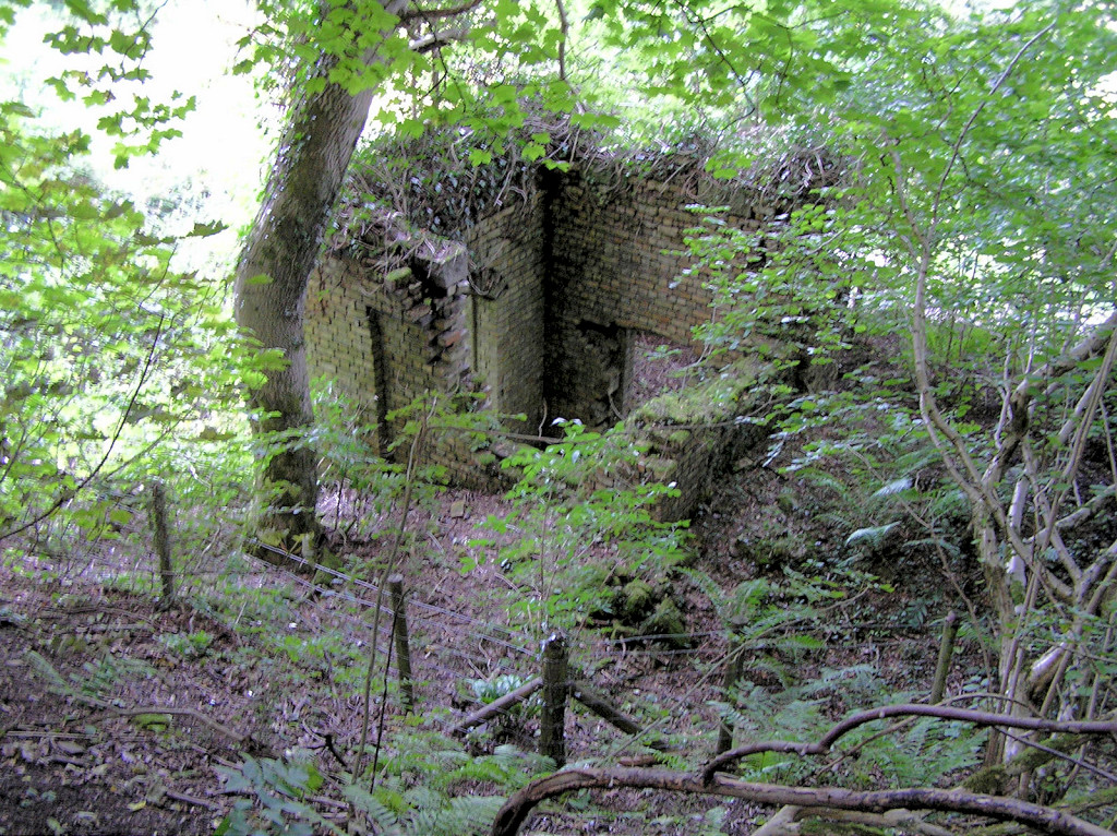
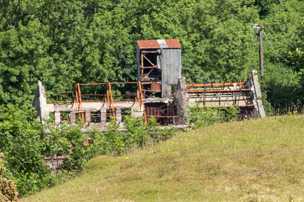
 Unknown building |
 Varteg Arch under the railway |
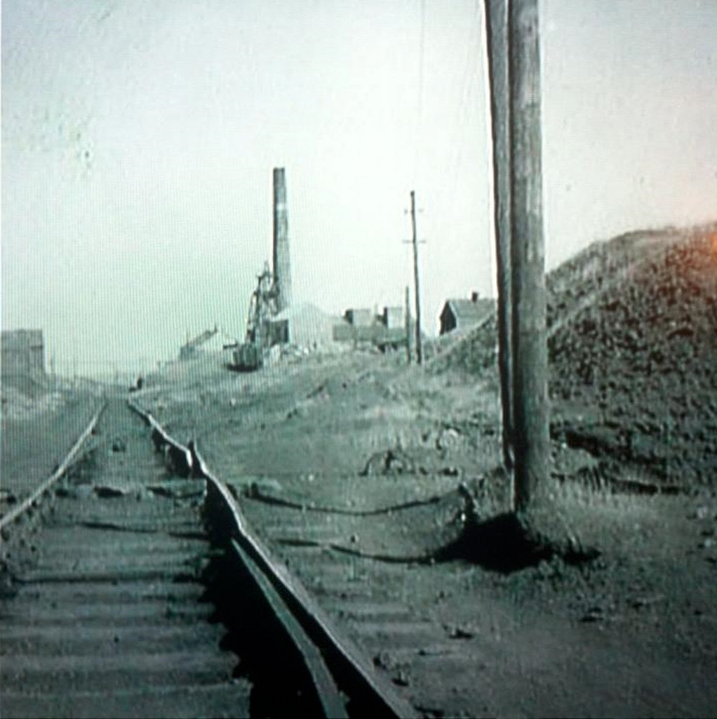
 Varteg Colliery tips |
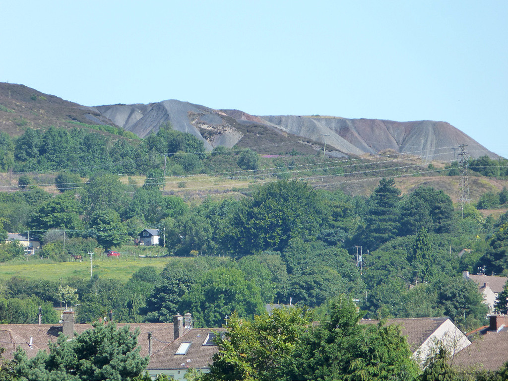 Colliery tips from Talywain |
 Varteg Colliery tips |
|
 Varteg Colliery tips |
 Varteg Colliery tips |
 Varteg Colliery tips |
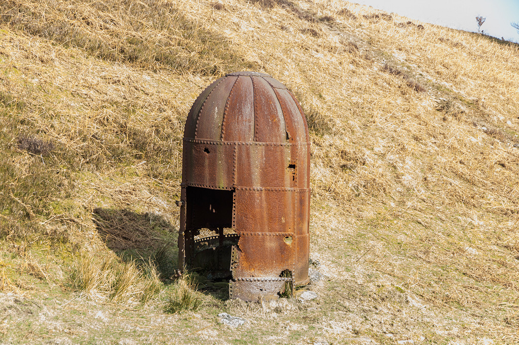
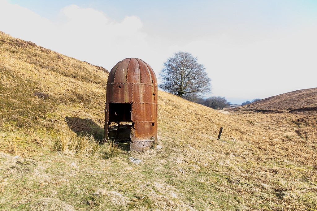
 Ventilating fan shaft incline |
 Ventilating fan shaft site |
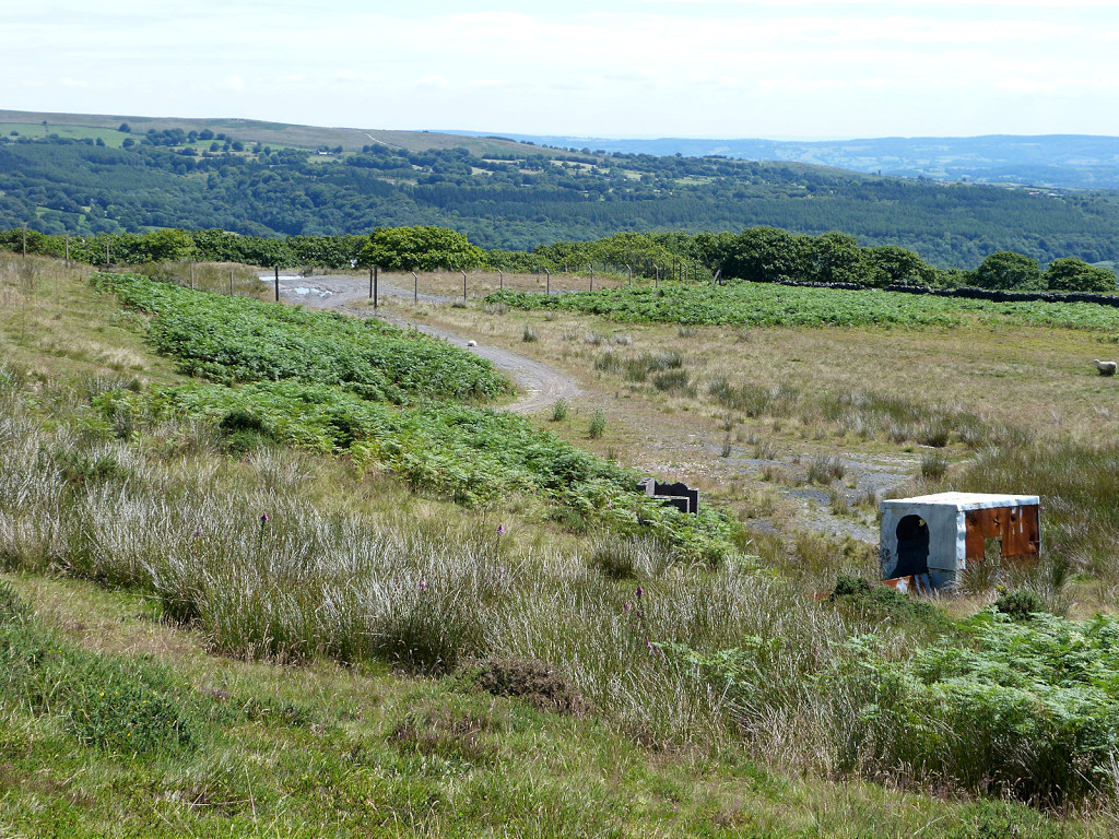
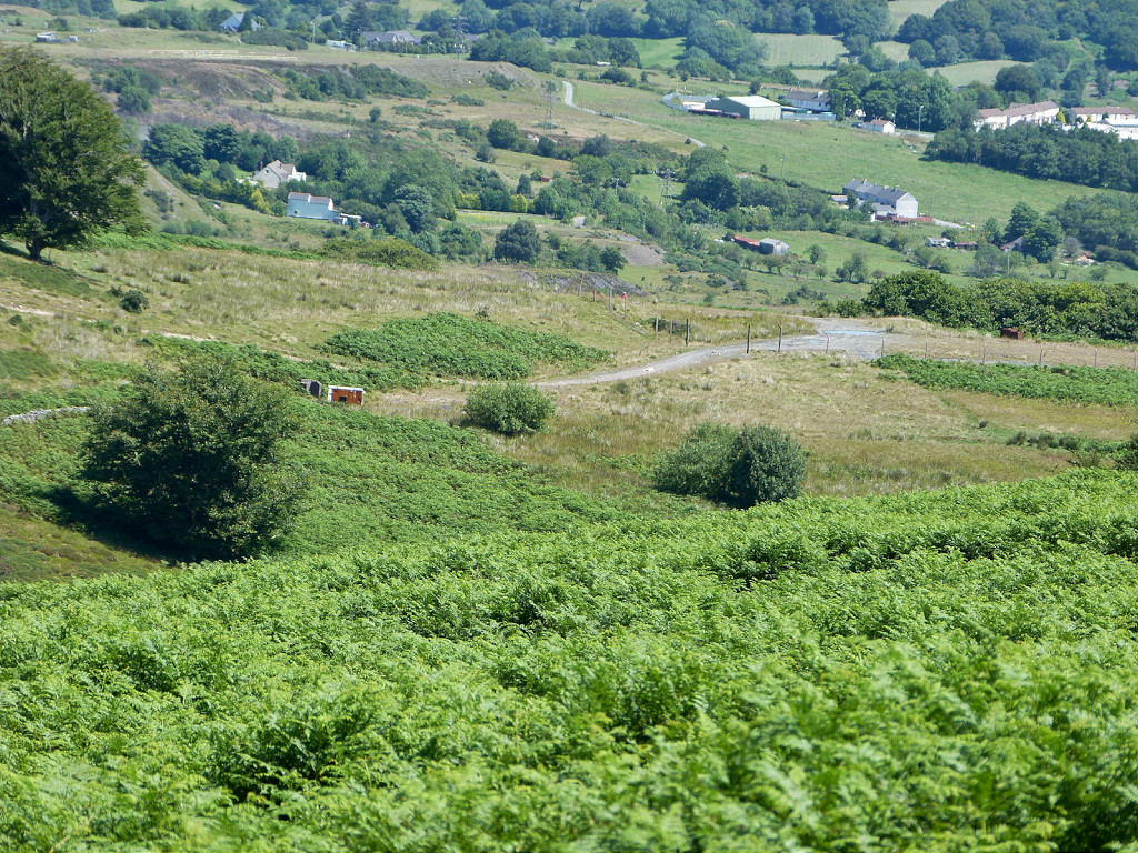
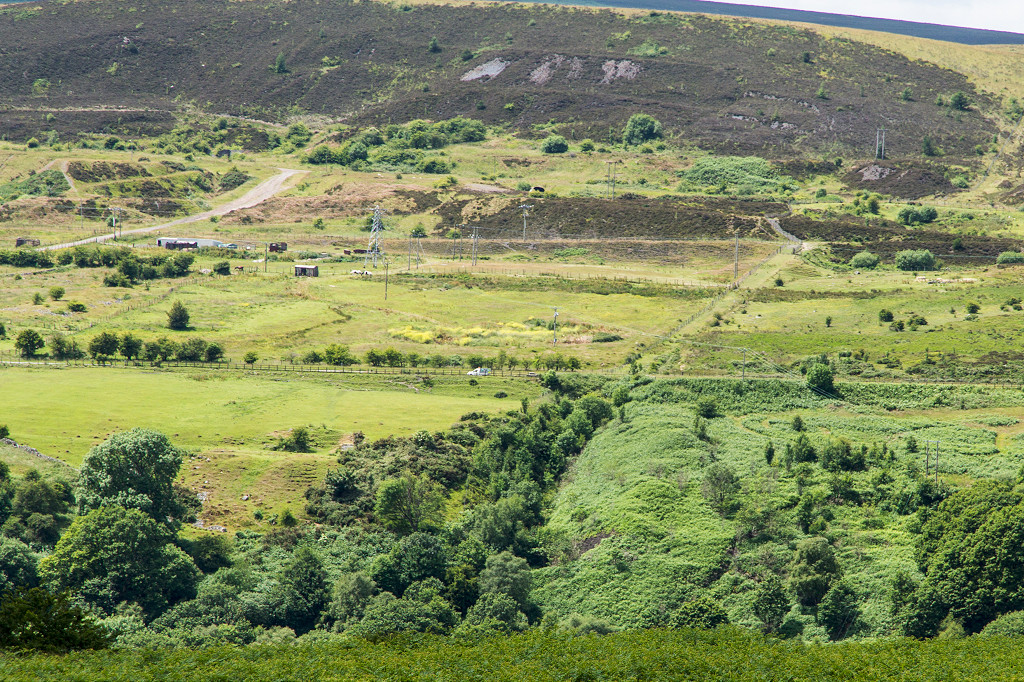
 Opencast operations on Varteg Hill |
 Opencast operations on Varteg Hill |
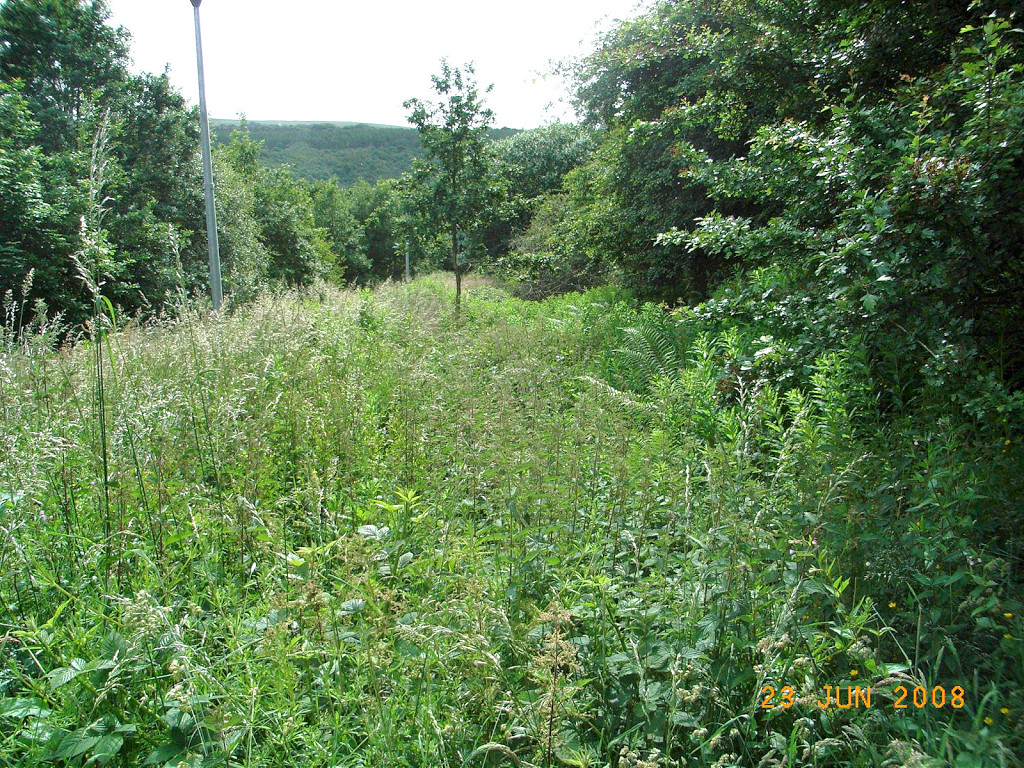
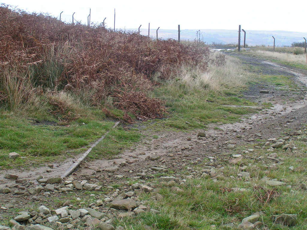
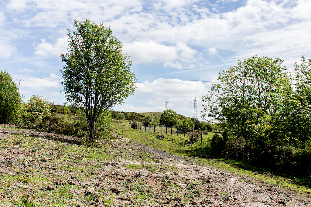
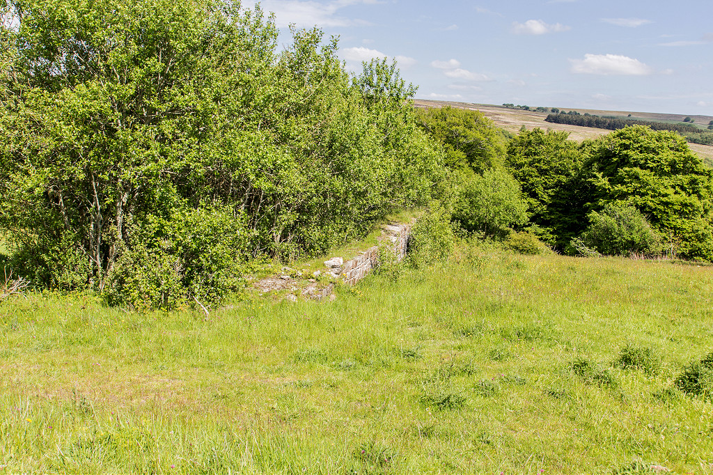
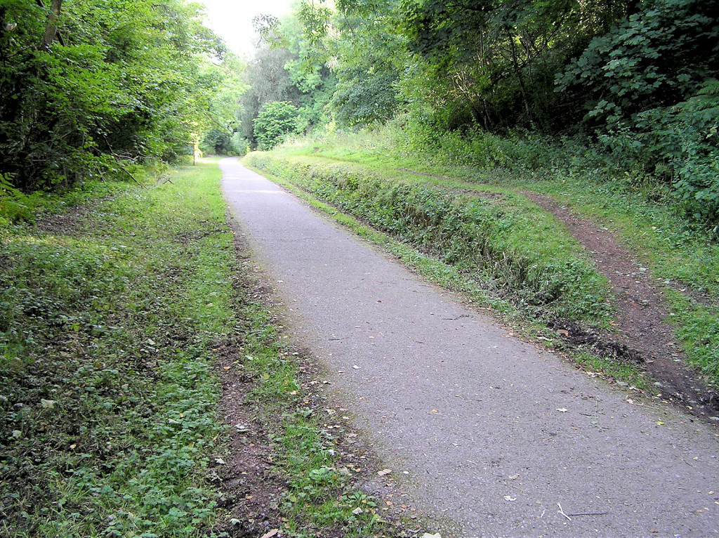
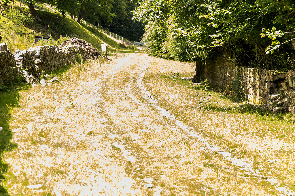
 Trackbed below Blaenavon road |
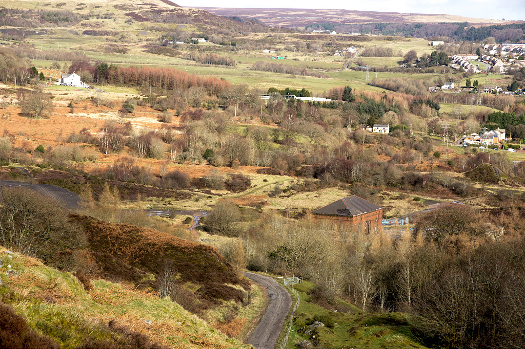
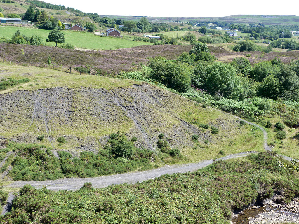
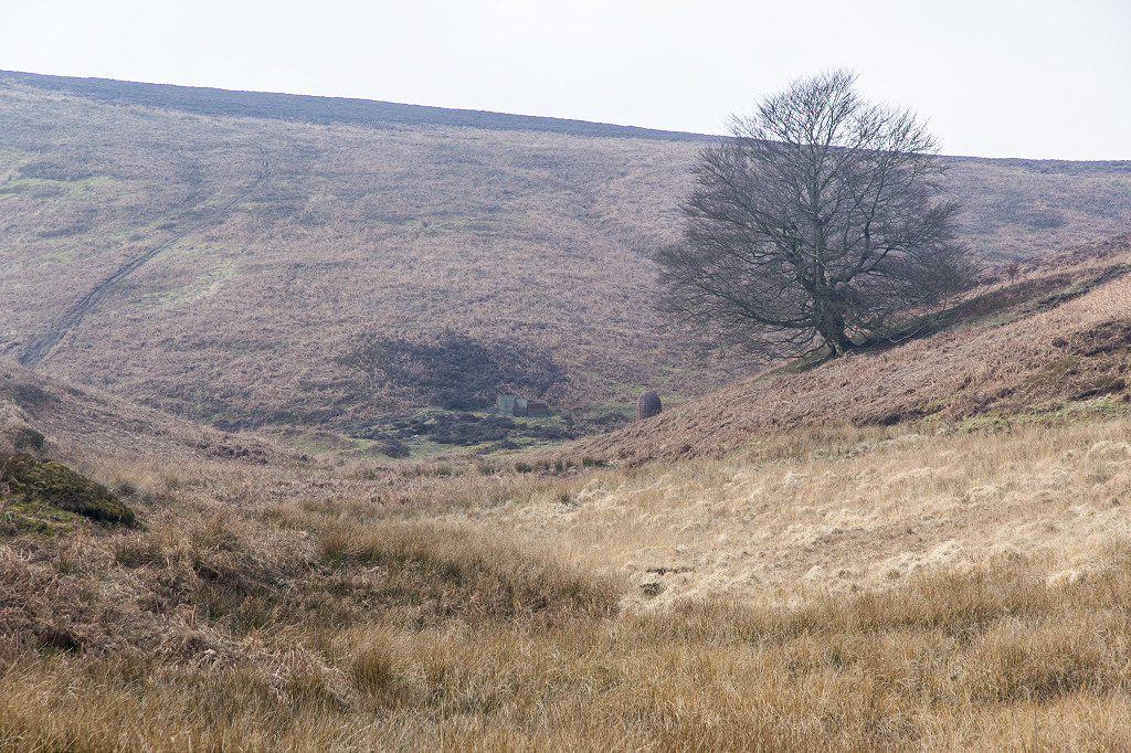
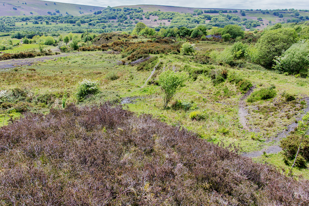
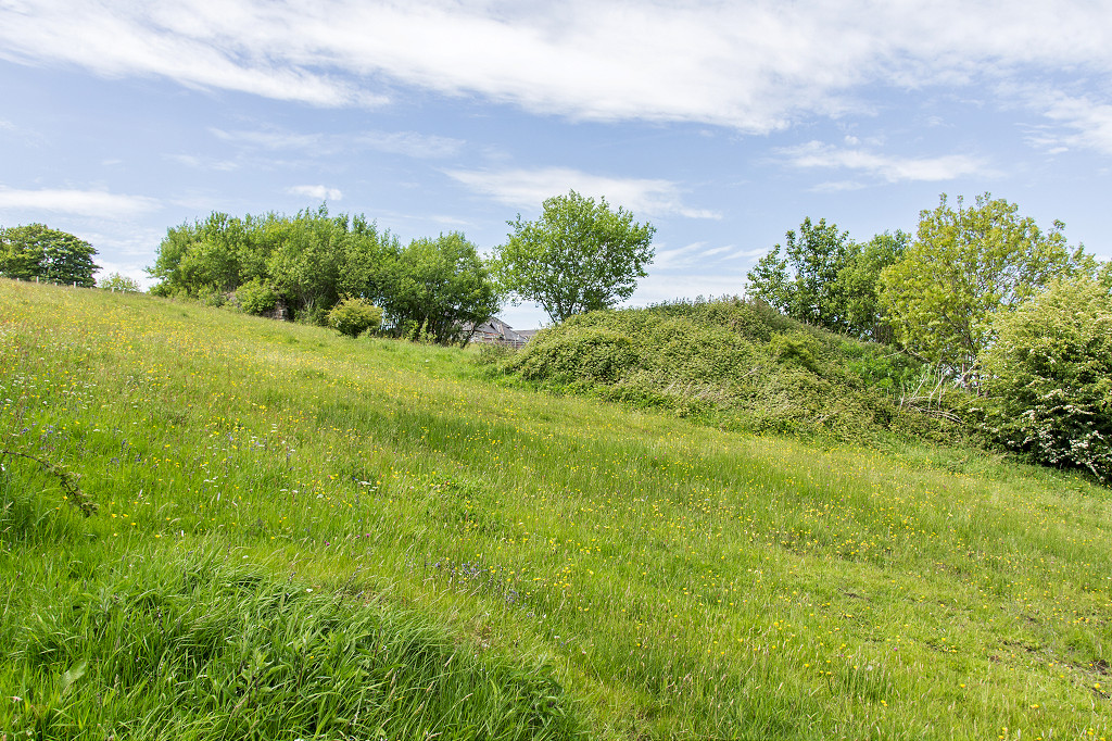
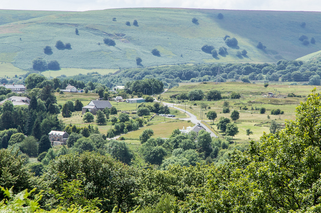
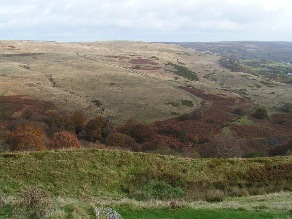 View from Graig Wen |
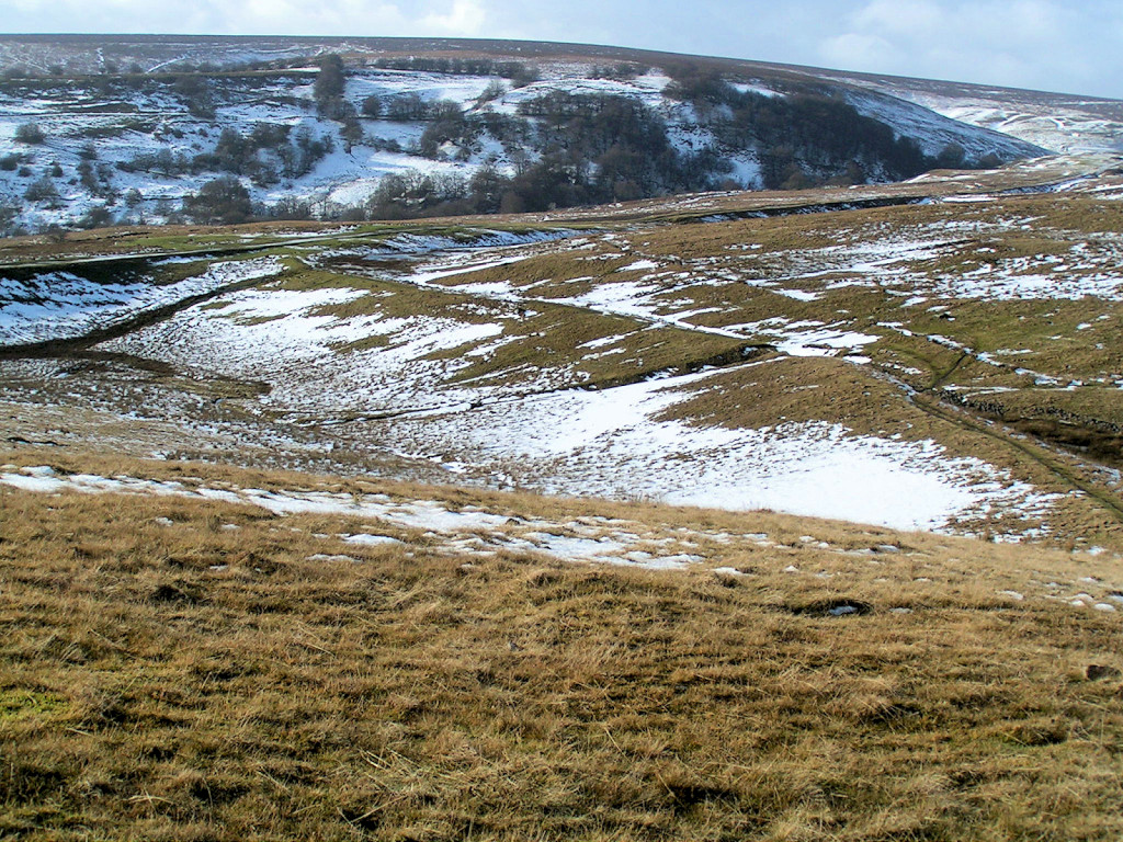 Embankment near halfway point |
 Trackbed near Colliery |
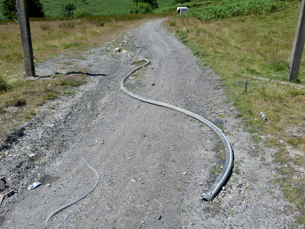
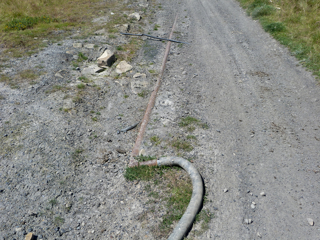
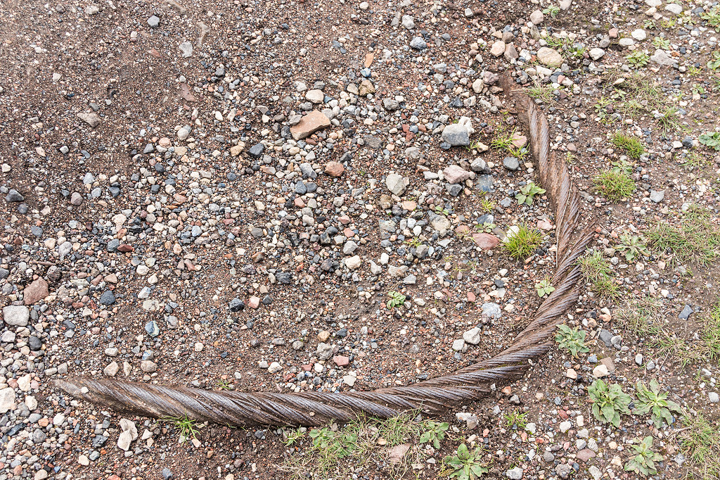 Wire hawser in the trackbed |
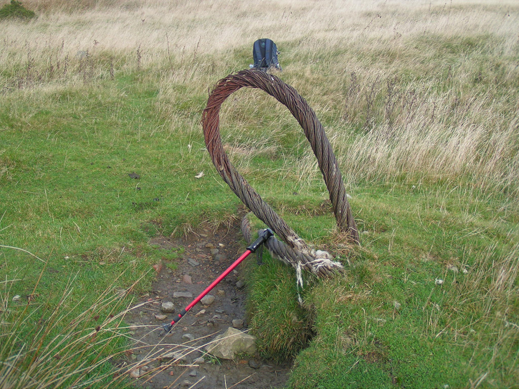 Wire hawser near the trackbed |
 Wire hawser near the trackbed |
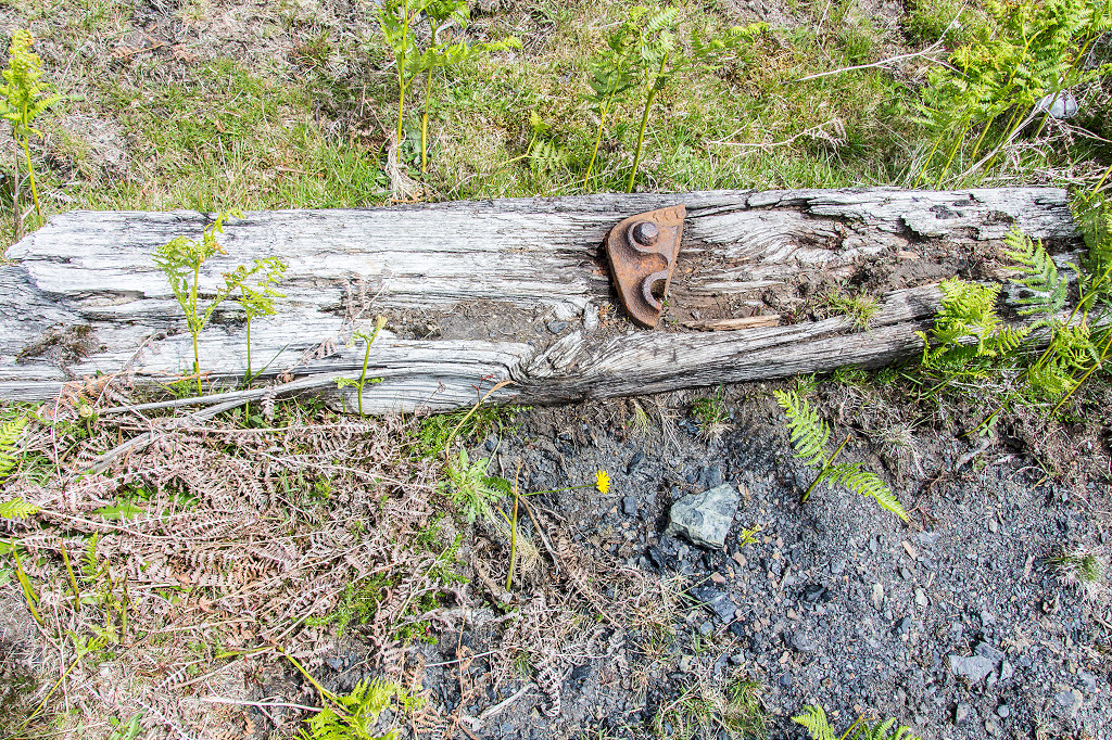
 Railway chair near the colliery |
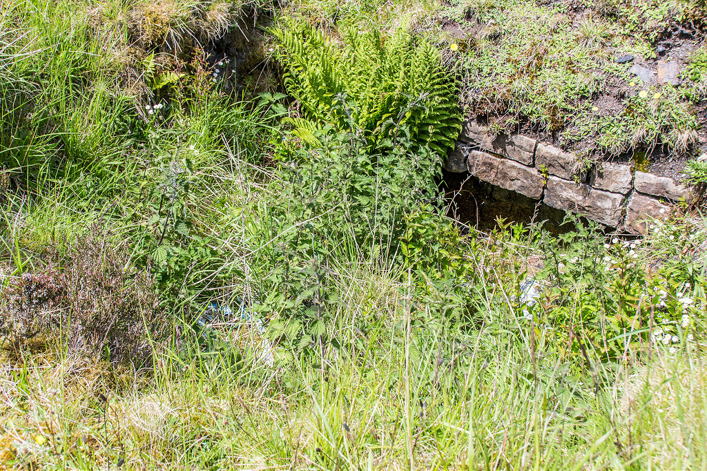
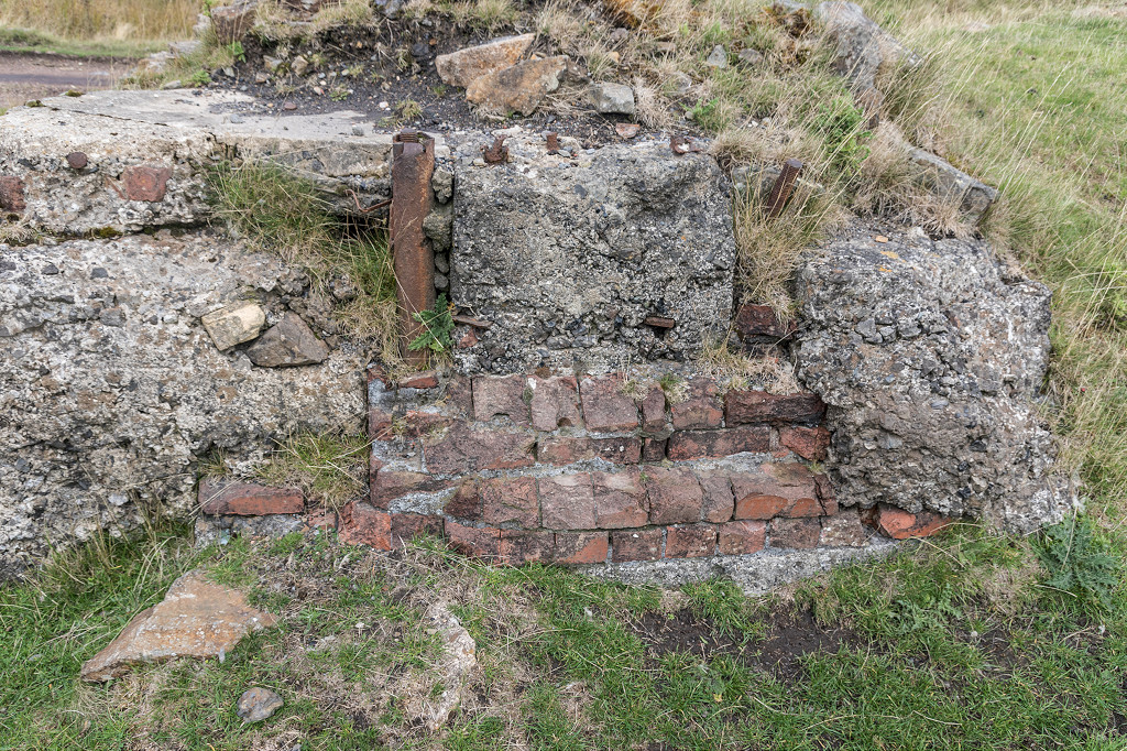
 Culvert under the trackbed |
 Culvert under the trackbed |
 Varteg Top Pits in 1899 |
 Varteg Top Pits in 1917 |
 Varteg Top Pits in 1948 |
|
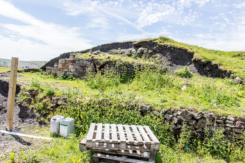
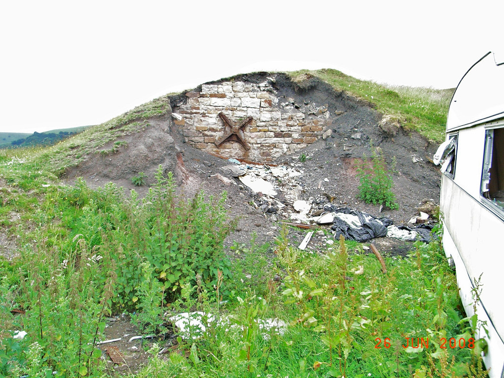
 Varteg Top Pits |
 Varteg Top Pits |
 Varteg Top Pits |
 Varteg Top Pits |
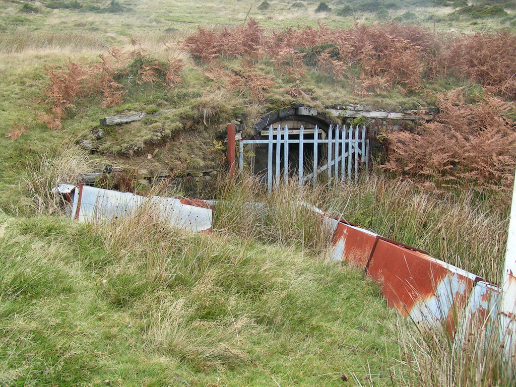
 Varteg Red Ash Level |
 Varteg Red Ash Level |
 Varteg Red Ash Level |
|
 Sleepers near Top Pits |
 Varteg Top Pits headshunt |
 Iron pipe in embankment |
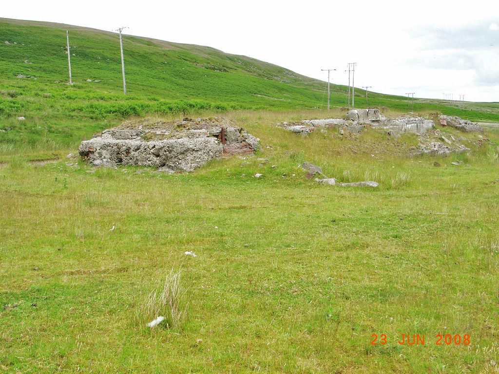 Foundations of compressor house |
 Foundations of compressor house |
 Foundations of compressor house |
 Foundations of compressor house |
 Varteg Top Pits filled-in shaft |
 Varteg Top Pits canteen |
 Varteg Top Pits canteen |
 Varteg Top Pits stables |
 Varteg Top Pits stables |
 Varteg Top Pits buildings |
 Varteg Hill Colliery buildings |
 Modern powder store |
 Older, stone-built powder store |
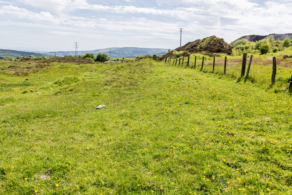
 Level pit prop on waste tip |
 Varteg Top Pits tip |
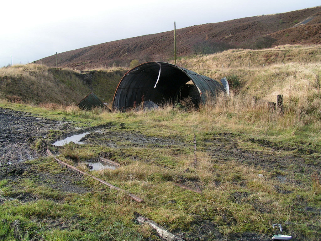
 Cwm Ffrwd inclines |
 Tramroad to 1st incline |
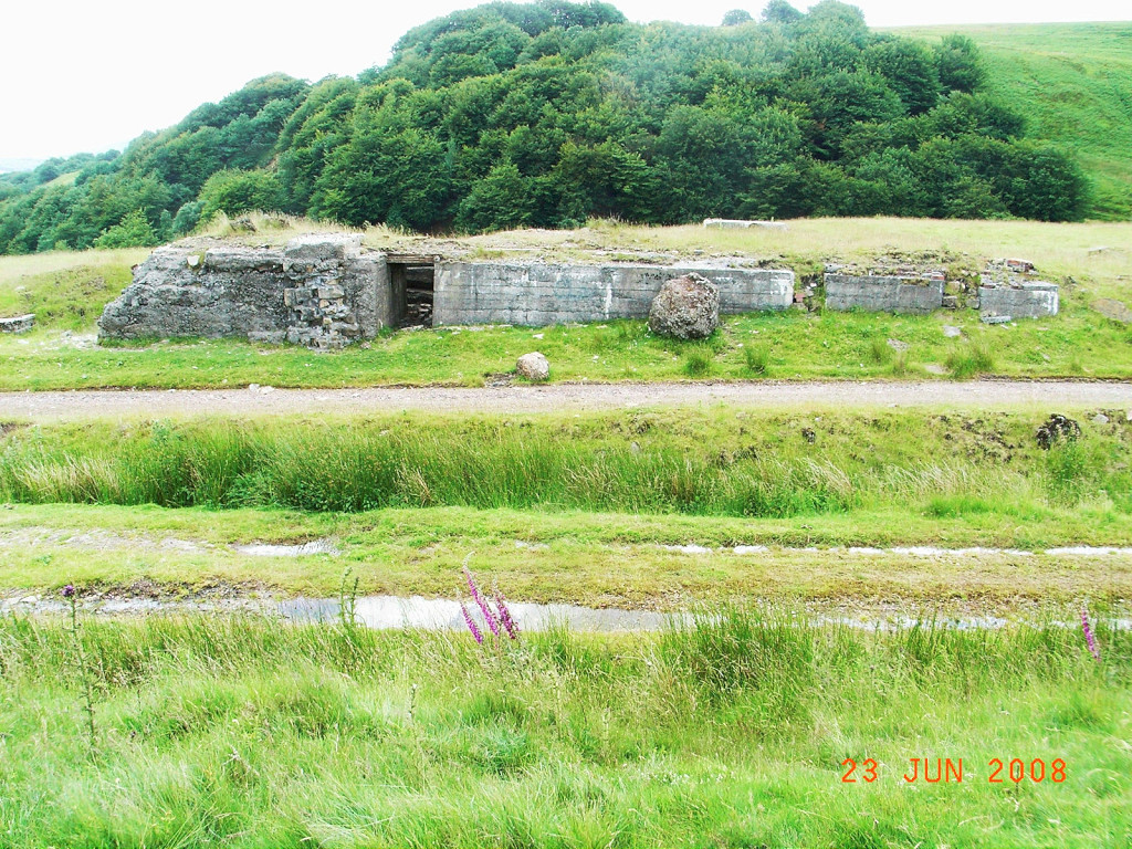
 Incline engine house |
 Incline engine house |
 Incline engine house |
 Incline engine house |
 Cwm Ffrwd incline top |
 Incline below engine house |
 Stench pipe next to tramroad |
 Course of tramroad to 2nd incline |
 Cwm Ffrwd second incline top |
 Cwm Ffrwd second incline |
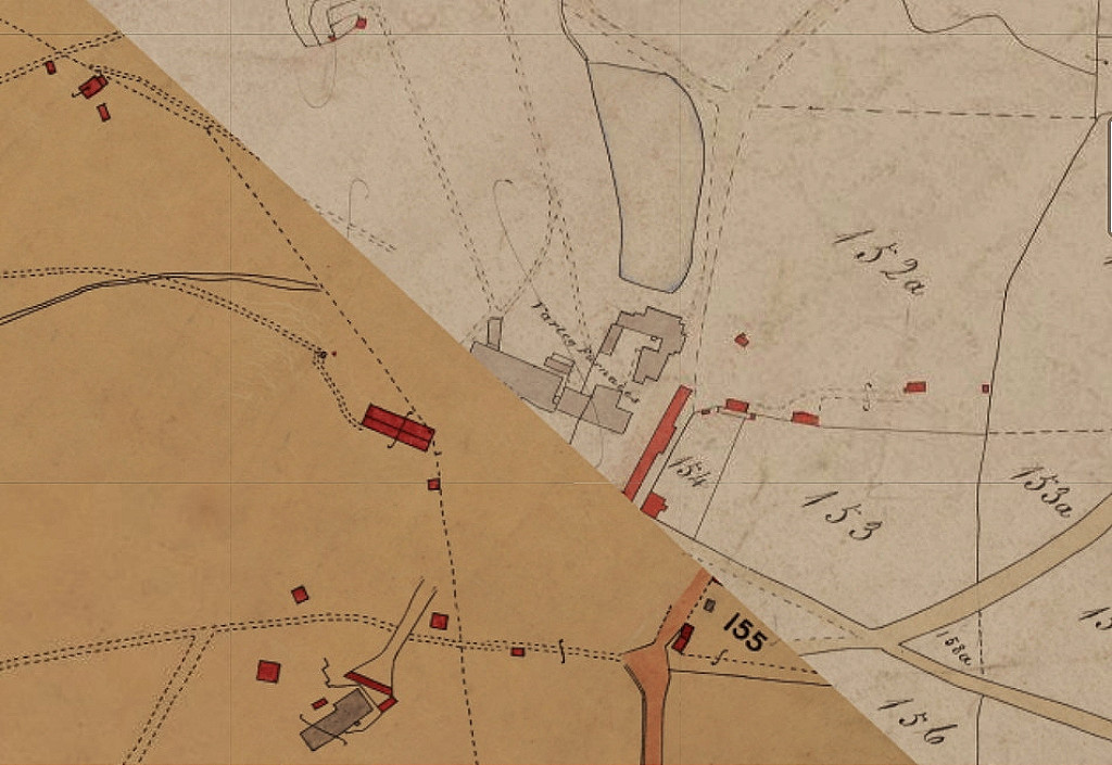 Varteg Ironworks in 1843 |
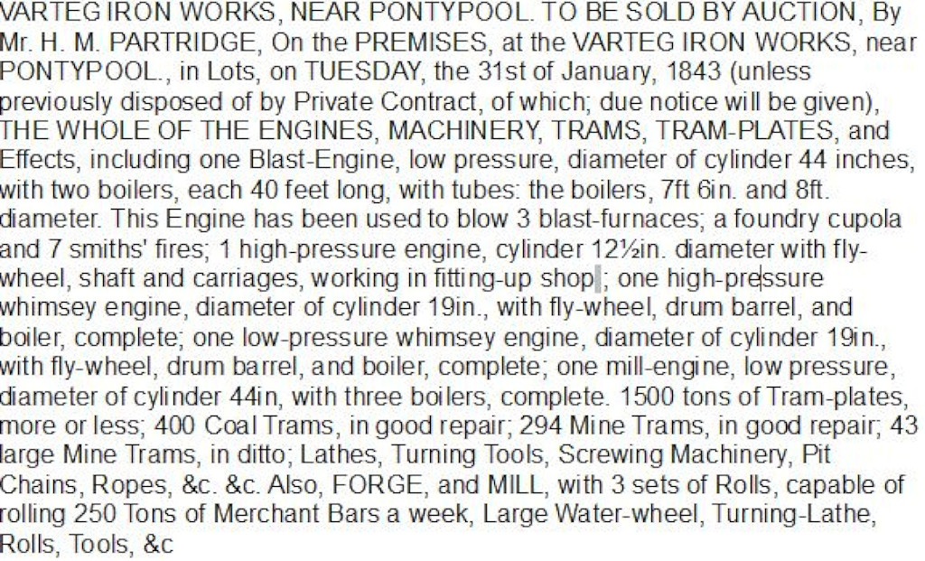 Varteg Ironworks auction, 1843 |
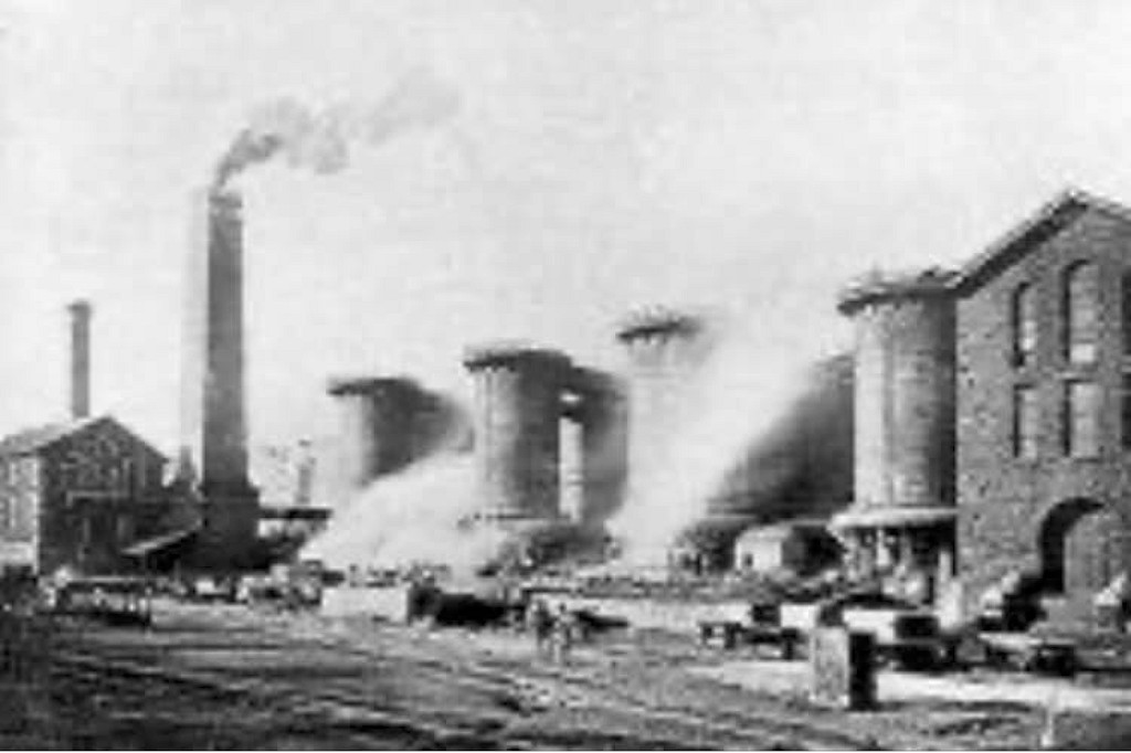 Varteg Ironworks c1870s |
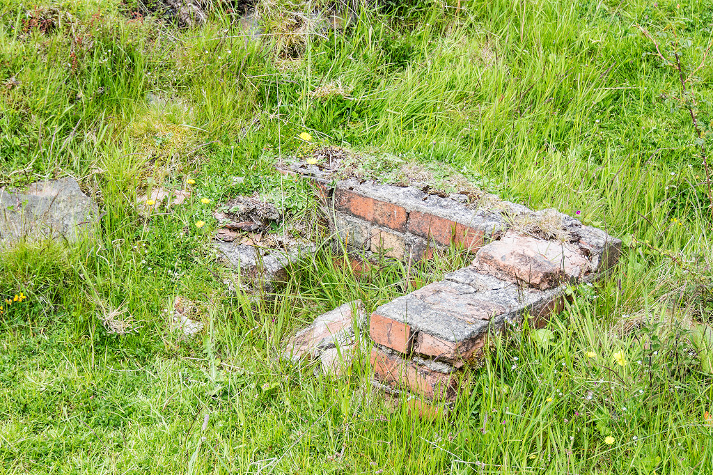
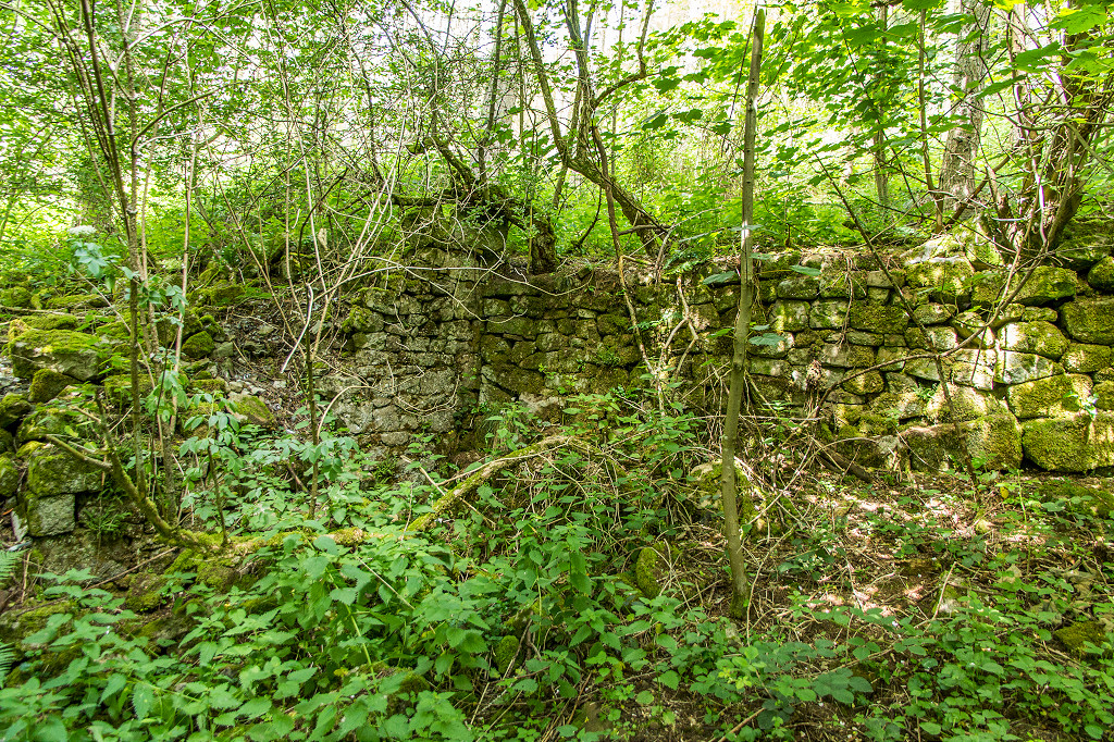
 Foundations of Four Houses |
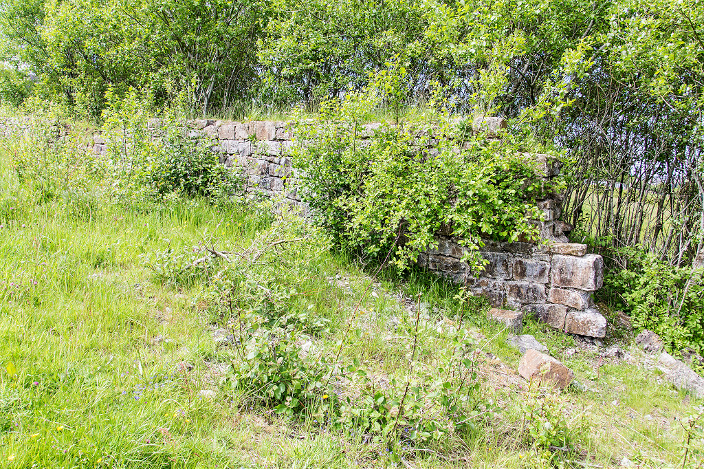
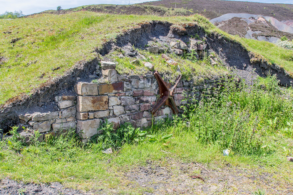 Stonework from Varteg Furnaces |
 Stonework from Varteg Furnaces |
 Stonework from Varteg Furnaces |
 Stonework from Varteg Furnaces |
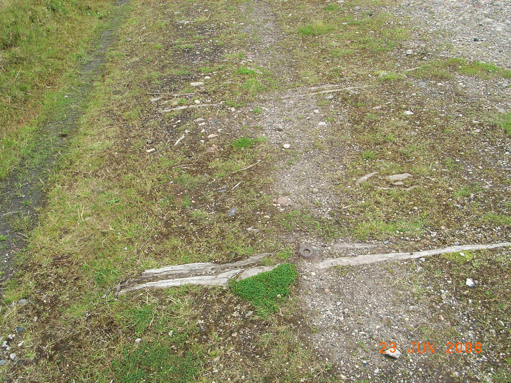
 Tramroad sill, approx 2'6" gauge |
 Tips to South West |
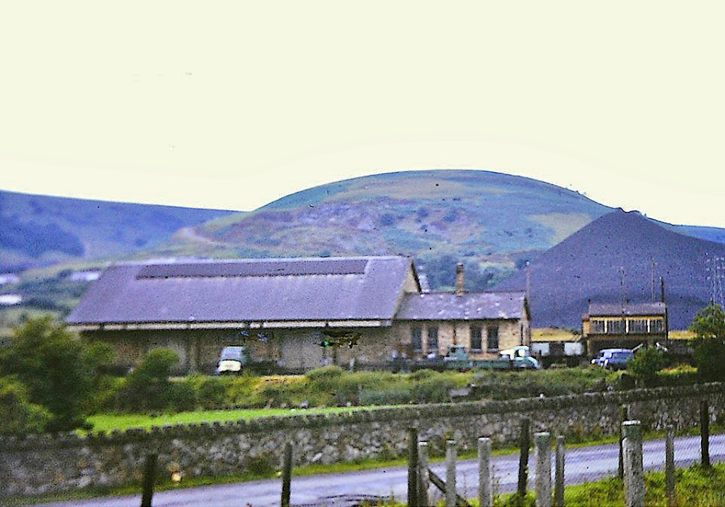
 Varteg LNWR station |
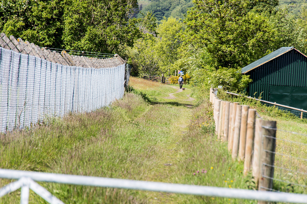
 Varteg LNWR Station footpath |
 Varteg LNWR Station |
 Varteg LNWR Station building |
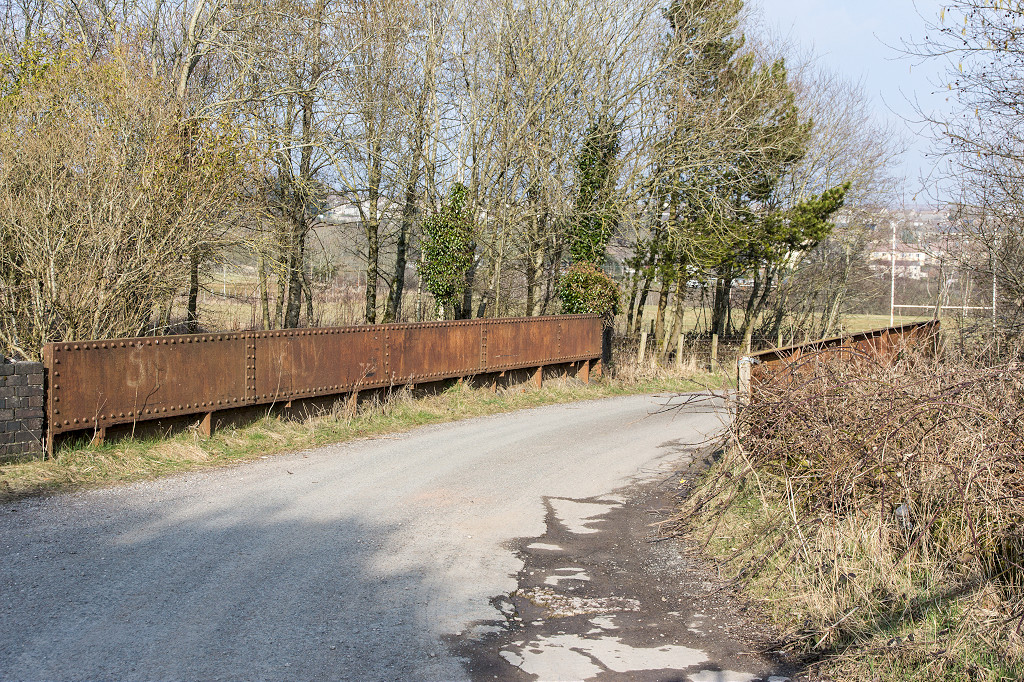
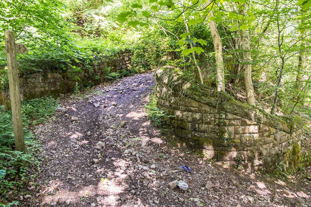 Snail Creep bridge, Varteg |
 Snail Creep bridge, Varteg |
 Snail Creep bridge, Varteg |
|
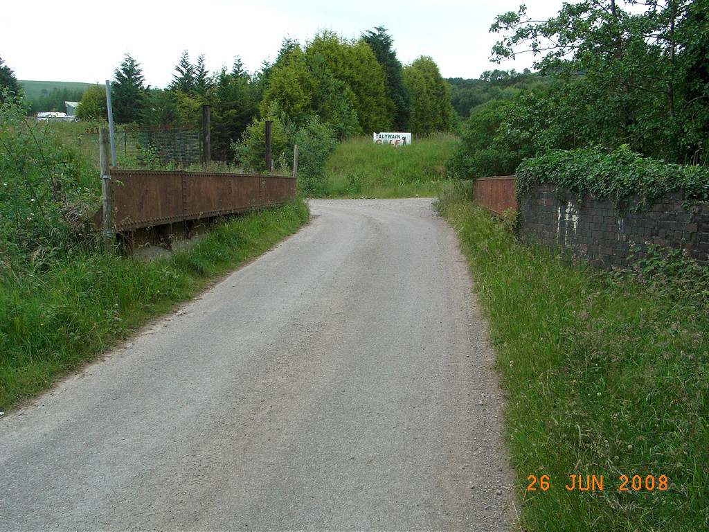
 Shop Road bridge, Varteg |
 Shop Road bridge, Varteg |
 Shop Road bridge, Varteg |
|
 Varteg incline abutments |
 Varteg incline abutments |
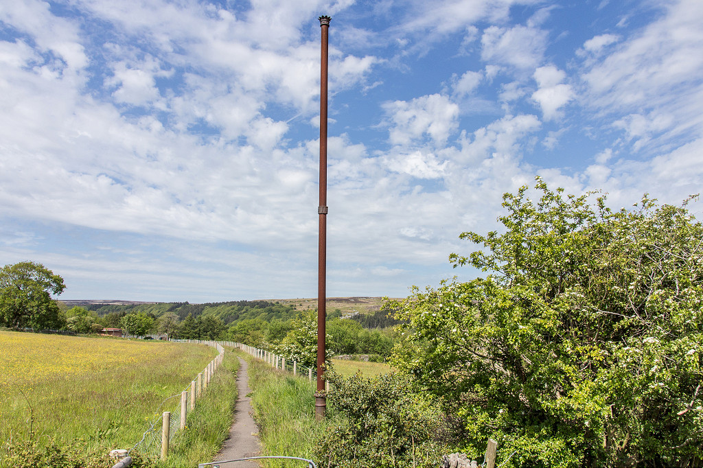
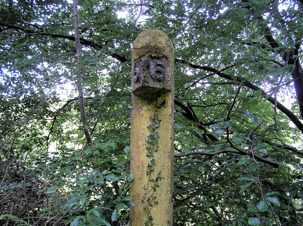 Varteg Incline milepost |
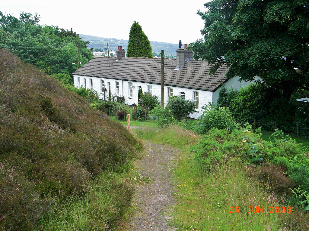
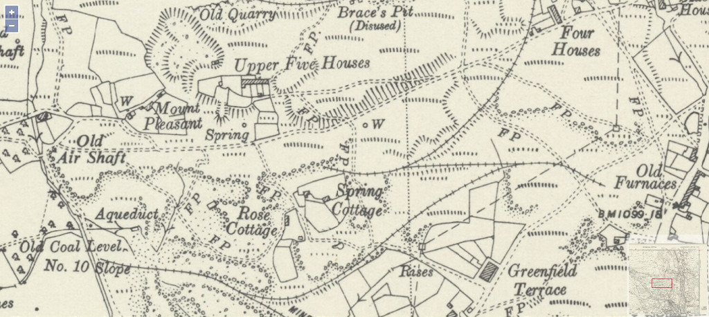
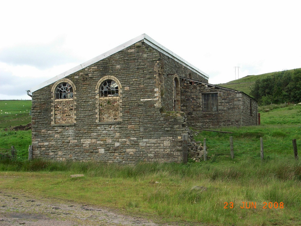
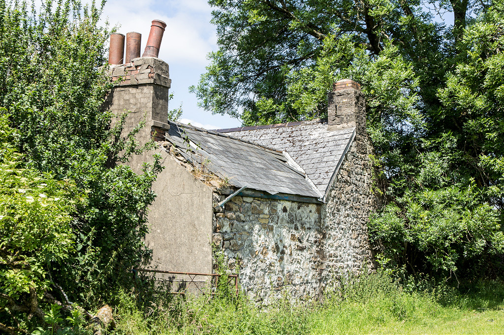
 Upper Five Houses, Varteg |
 Upper Five Houses, Varteg |
 Upper Five Houses, Varteg |
 Upper Five Houses, Varteg |
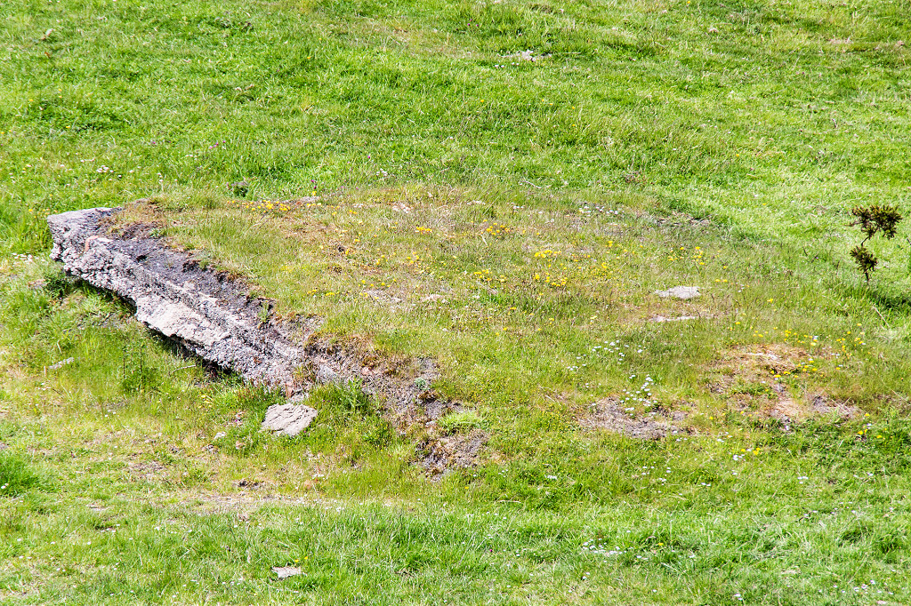 Foundations at Upper Five Houses |
 Stonework at Upper Five Houses |
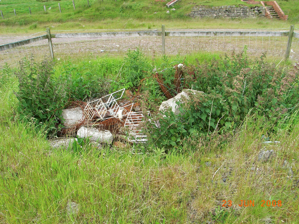
 Tips at Upper Five Houses |
 Tips at Upper Five Houses |
 Tips at Upper Five Houses |
 Tips at Upper Five Houses |
 Tips at Upper Five Houses |
 Tips at Upper Five Houses |
 Spring Cottage from tips |
 Varteg from the Lasgarn tramway |
 Stonework near Pembroke Terrace |
 The Westgate Arms or Railway Inn |
 Beili Glas ironworkers cottages |
 The Westgate brewery |
 Forge Cottages |
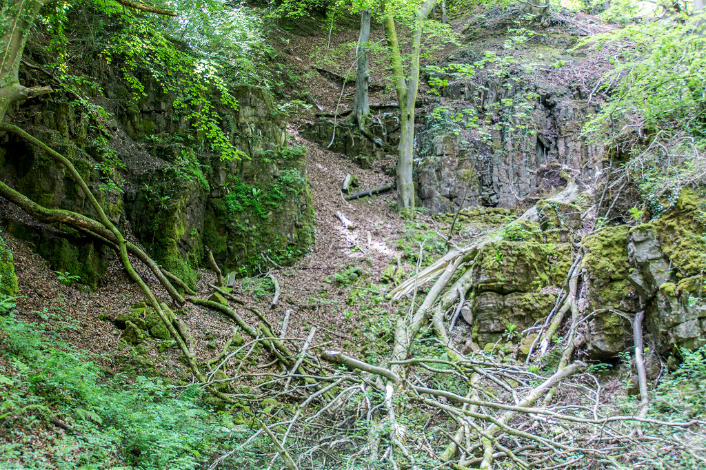 Quarry behind The Westlake Arms |
 Quarry behind The Westlake Arms |
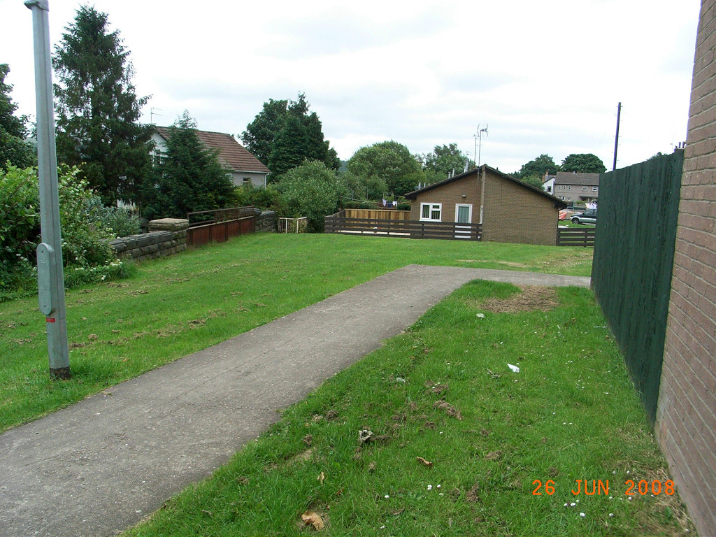
 MRCC trackbed at Glebelands |
|
 Pen-yr-heol Farm, Cwmavon |
 Pen-yr-heol Farm, Cwmavon |
 Capel Newydd Farm, Cwmavon |
 Glebelands Farm, Cwmavon |
 Graig Quarry limekiln |
 Graig Quarry limekiln |
 Graig Quarry tramroad |
 Graig Quarry tramroad tiebar |
 Graig Quarry |
 Graig Quarry |
 Graig Quarry |
 Graig Quarry |
 Graig Quarry |
 Graig Quarry |
 Gallowsgreen Quarry bridge |
 Gomers Castle incline bridge |
 Gomers Castle incline |
 Gomers Castle limekiln |
 Gomers Castle limekiln |
Industrial WalesCollieries, Ironworks, Quarries, Railways, Canals, Tramroads, Tunnels, Culverts and so much more....
|
Brickworks of WalesBricks are 'History with a label' so here's the story of the Brickworks of Wales - photos, maps and the products themselves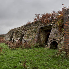
|
Around the WorldMy travels around the UK and the Whole Wide World in search of industries, railways, trams and mines to name a few.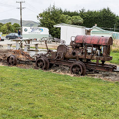
|
Boundary Stones and MilepostsBoundary Stones, Mileposts and other markers in simple alphabetical order of their initials, name or site.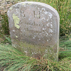
|
Ships and ShippingShips around the World in simple alphabetical order of their name (or apparent area if I can't read the name).
|
The Site Map and IndexA full list of all the pages of the whole website in just one place, so you should find exactly what you are looking for.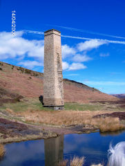
|
About the SiteThe background and technical details about the site, plus a contact page and links to other sites - and a warning !!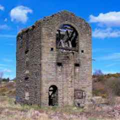
|
Contact MeSomething to add? A great photo? Something wrong? or need to know more about things? Just drop me a line here.
|
Further ReadingYou can find lots of local and other very helpful websites, books, magazines and Facebook groups all listed here.
|