Industrial Wales - Monmouthshire's Eastern Valley
South and East Abersychan
Snatchwood, Lasgarn, Pentwyn, Cwmbyrgwm and Cwmsychan
Search the site here
|
|
Industrial Wales - Monmouthshire's Eastern Valley
South and East Abersychan
Snatchwood, Lasgarn, Pentwyn, Cwmbyrgwm and Cwmsychan
|
Search the site here
|
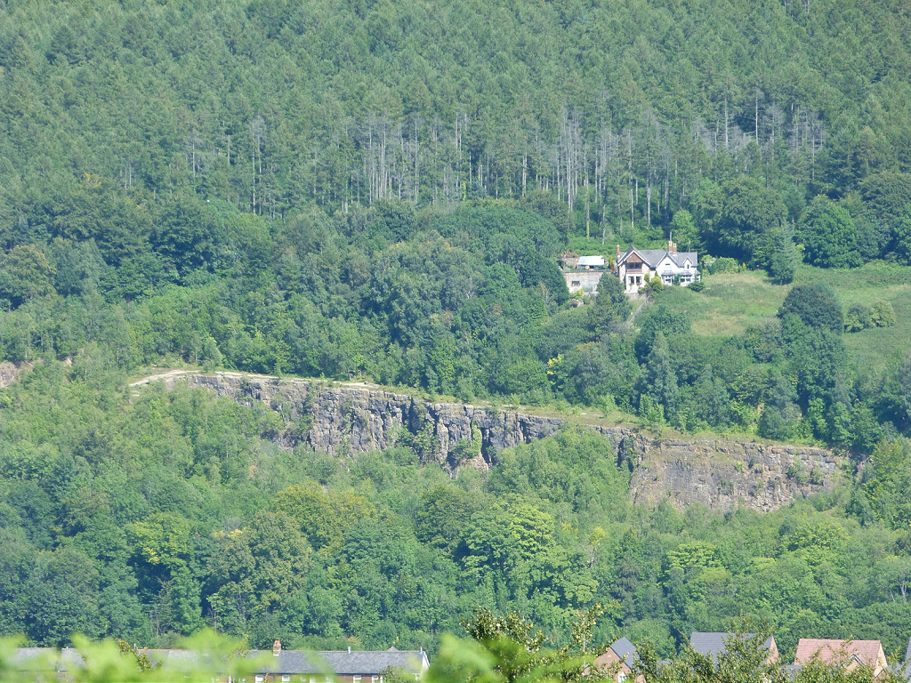 Abersychan Quarry and limeworks |
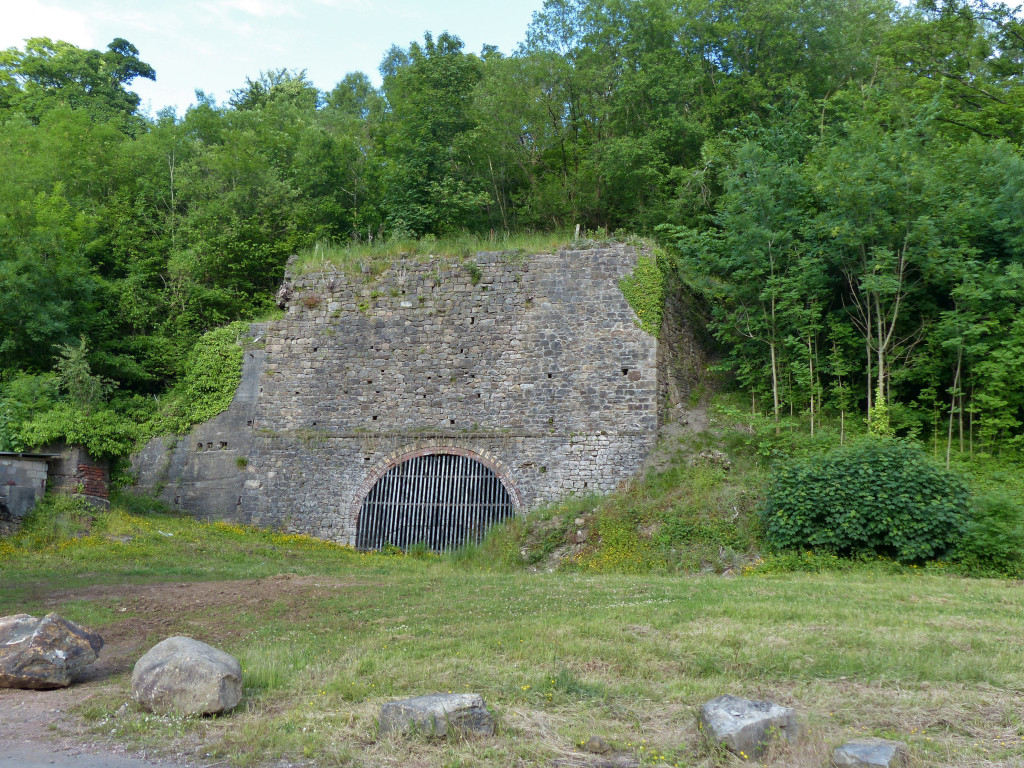 The exterior of the limekilns |
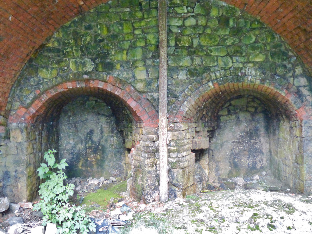 The interior of the limekilns |
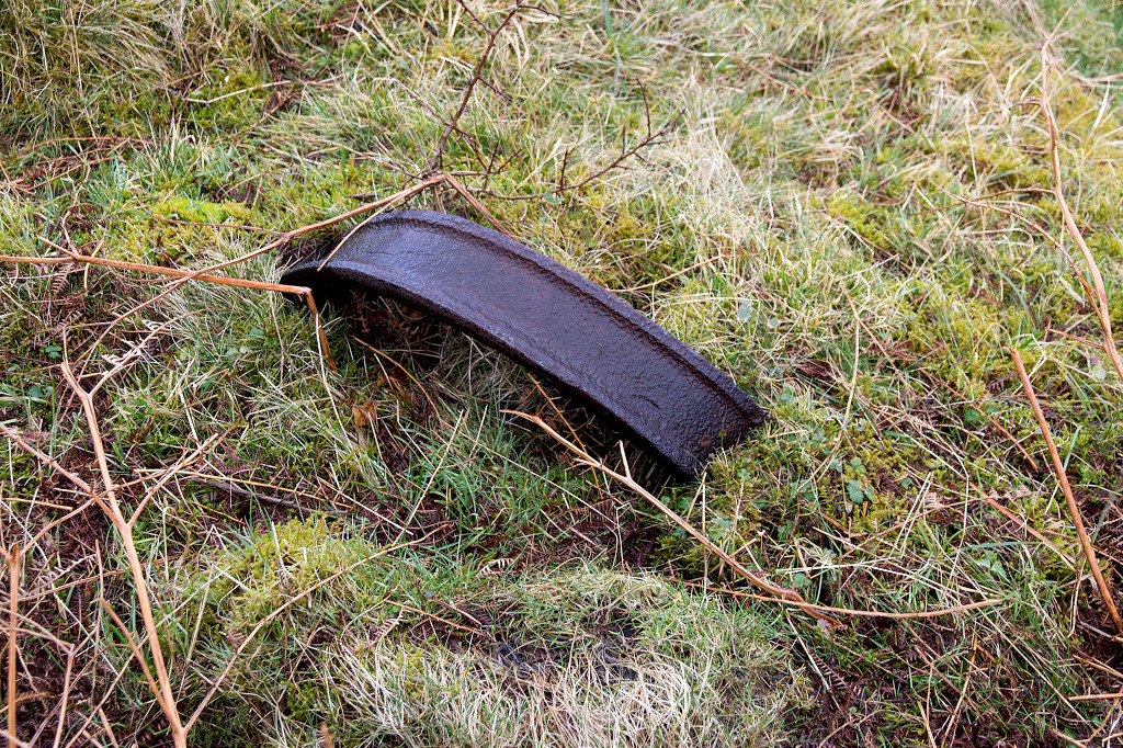
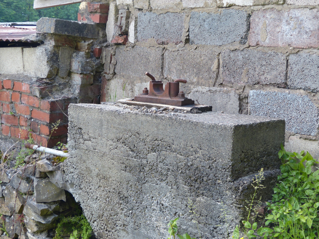 An axle shaft bearing |
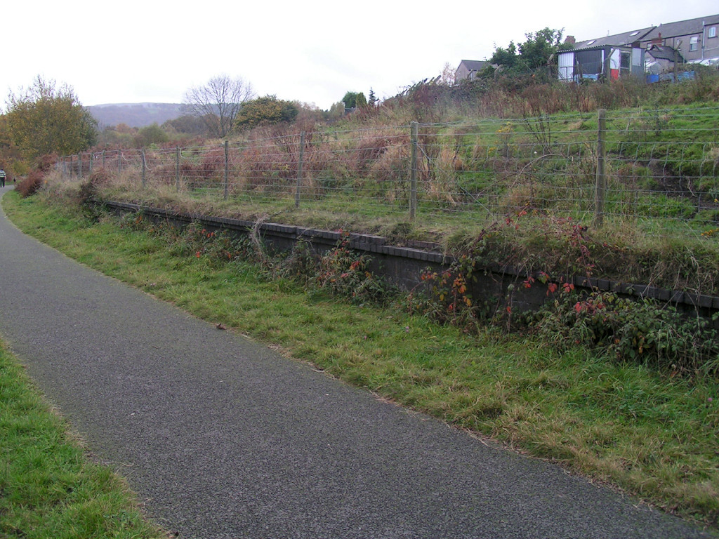 LNWR Pentwyn Halt, Abersychan |
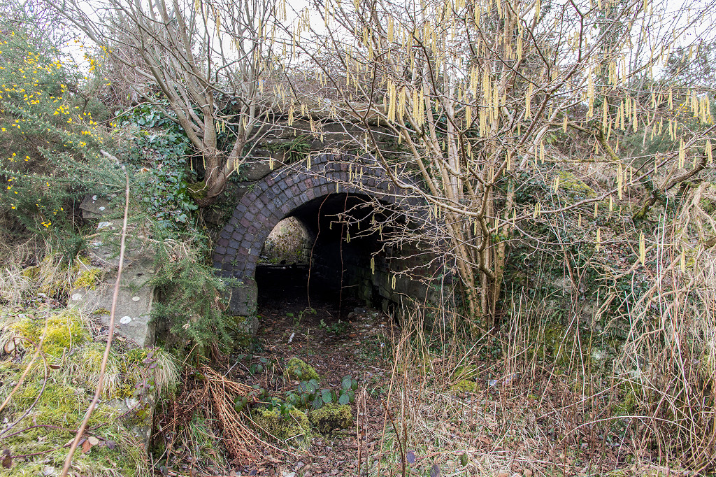
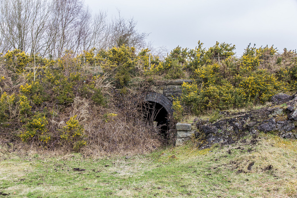
 LNWR Pentwyn subway |
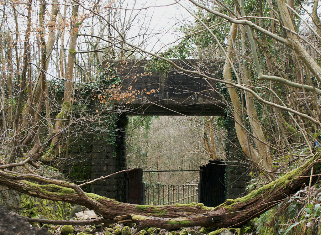
 LNWR Pentwyn underbridge |
 LNWR Pentwyn underbridge |
 LNWR Pentwyn underbridge |
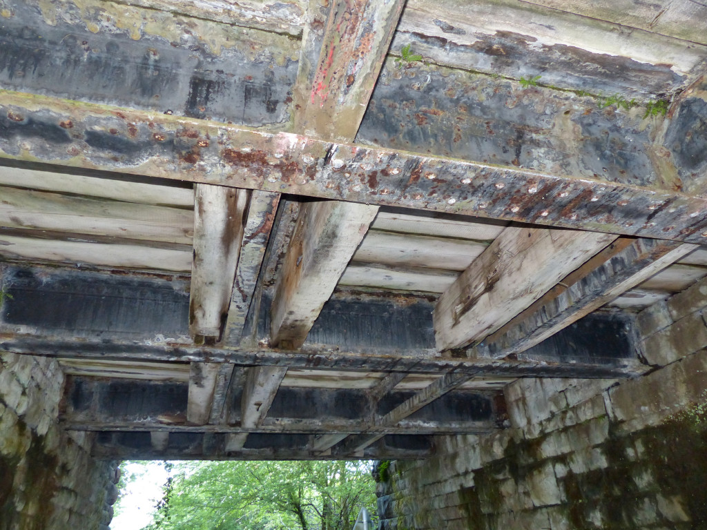 Underside of Pentwyn underbridge |
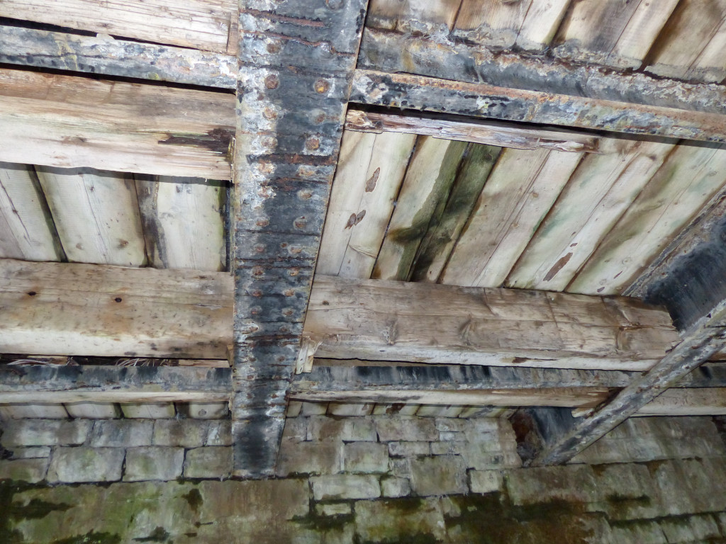 Underside of Pentwyn underbridge |
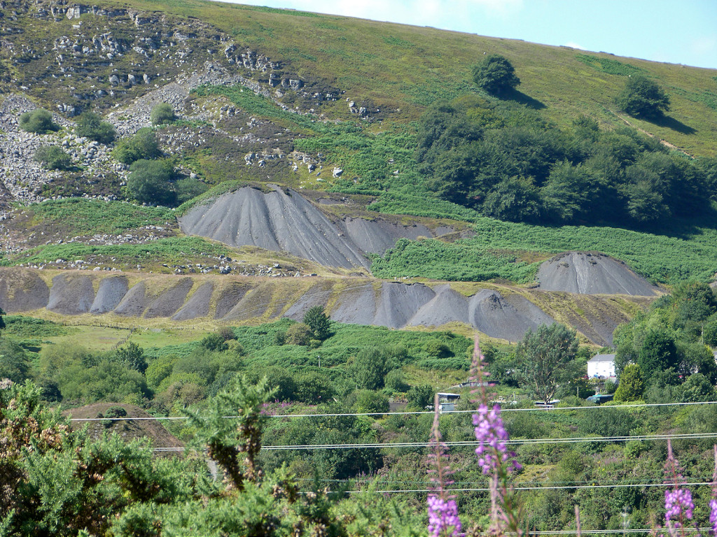
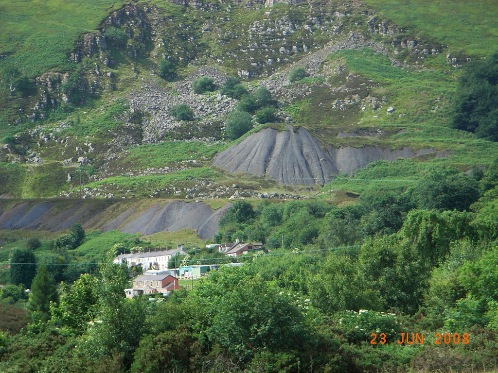
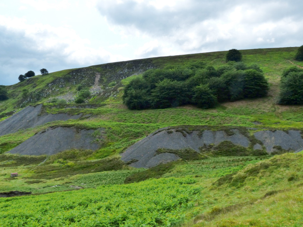
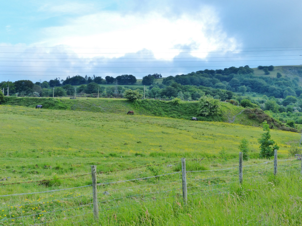 British Ironworks tips |
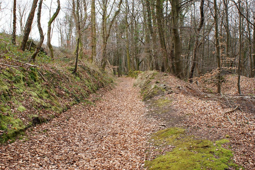
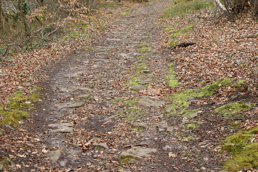
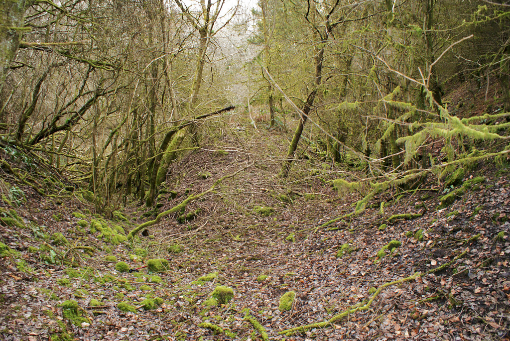
| The road to the right was the route of the line from Big Arch to the LNWR line past the slag crusher, which was on the right, the tramroad to Lasgarn followed the road to the left. |
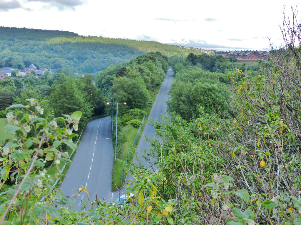 Big Arch to LNWR line |
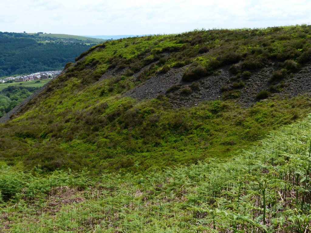
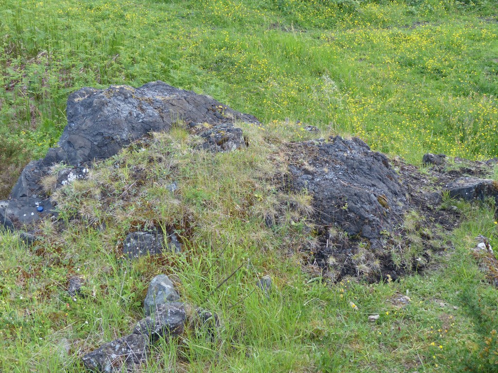 British Ironworks slag |
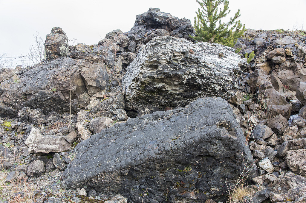 British Ironworks slag |
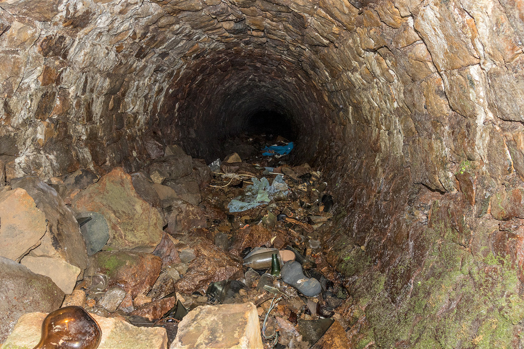
 Pentwyn slag crusher tunnel |
 Pentwyn slag crusher tunnel |
 Pentwyn slag crusher tunnel |
 Pentwyn slag crusher tunnel |
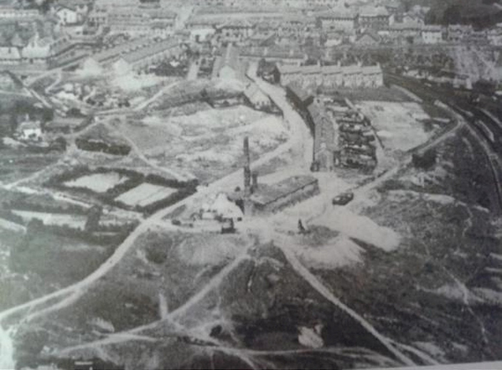
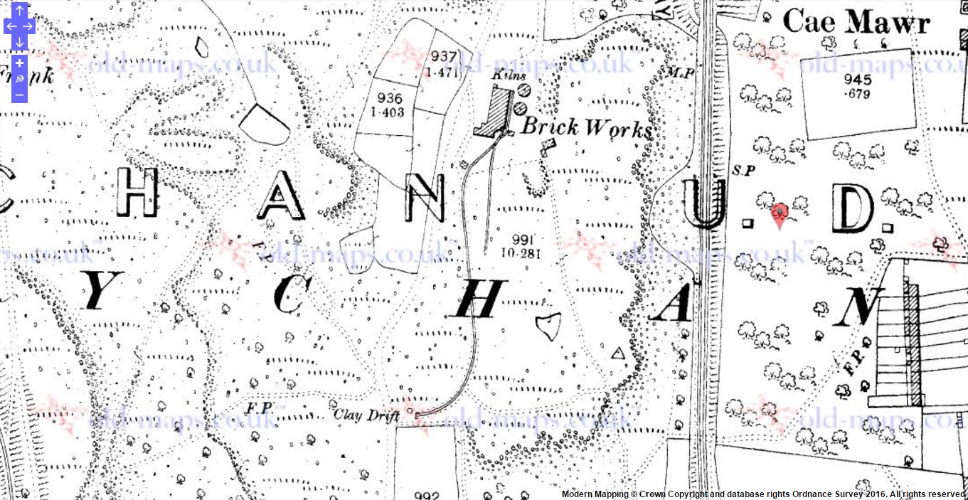 Abersychan Brickworks in 1901 |
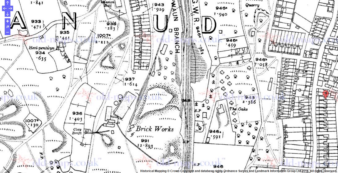 Abersychan Brickworks in 1920 |
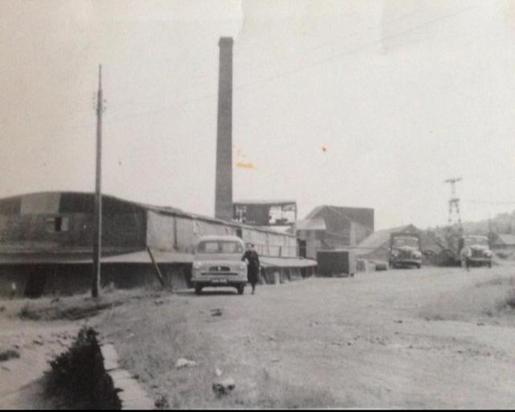 Abersychan Brickworks c1950s |
 Abersychan Brickworks c1950s |
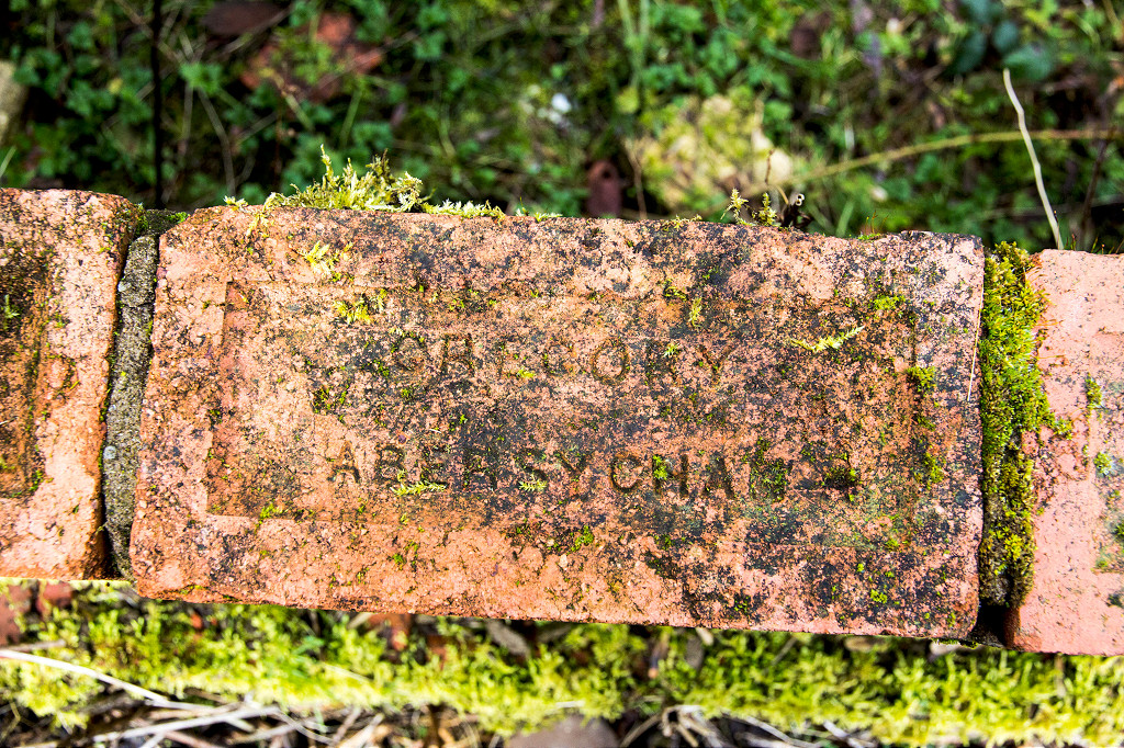 'Gregory Abersychan' |
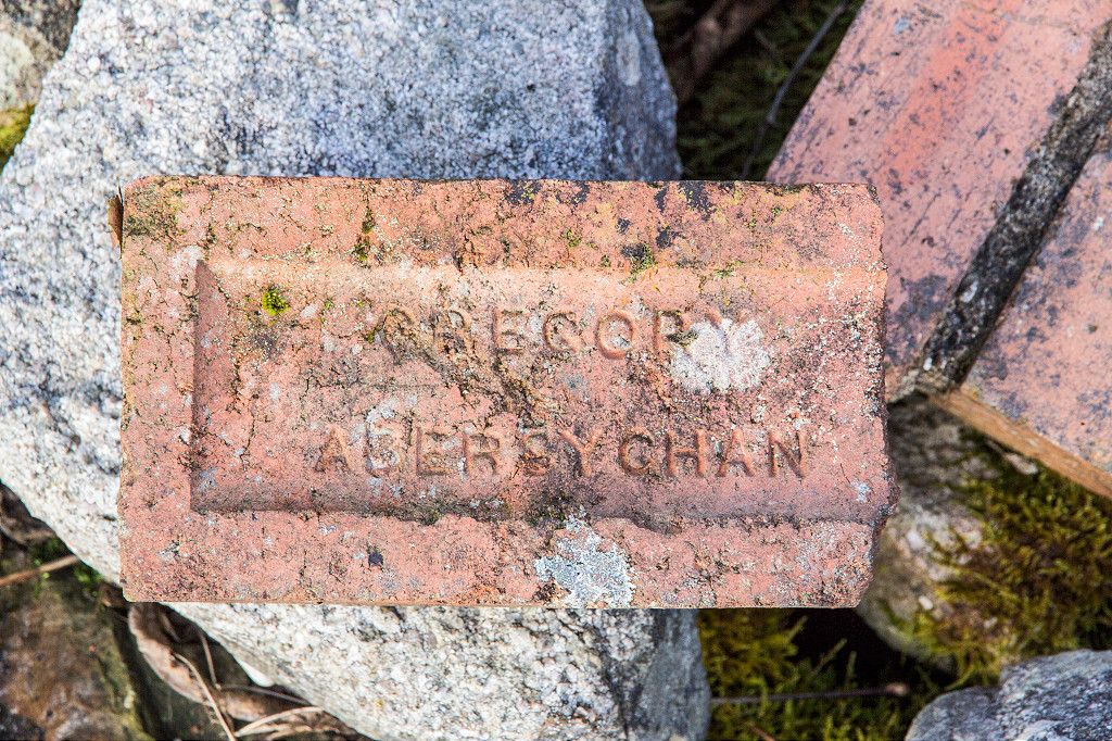 'Gregory Abersychan' |
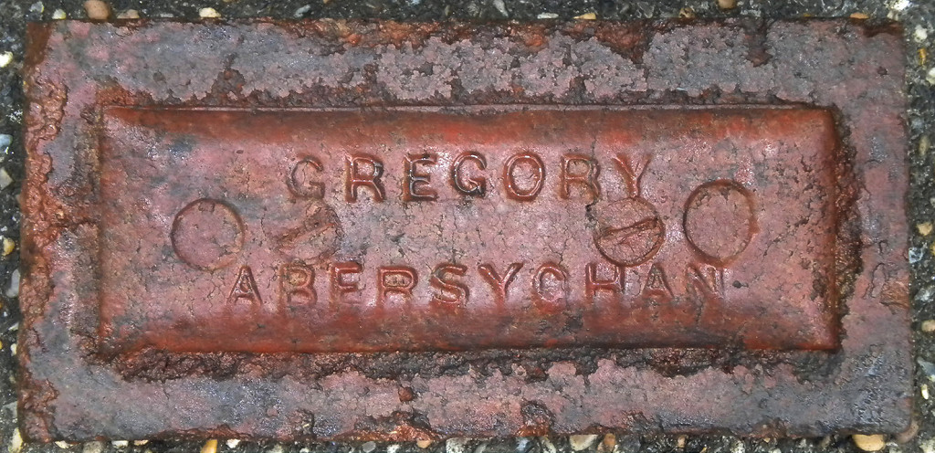 'Gregory Abersychan' |
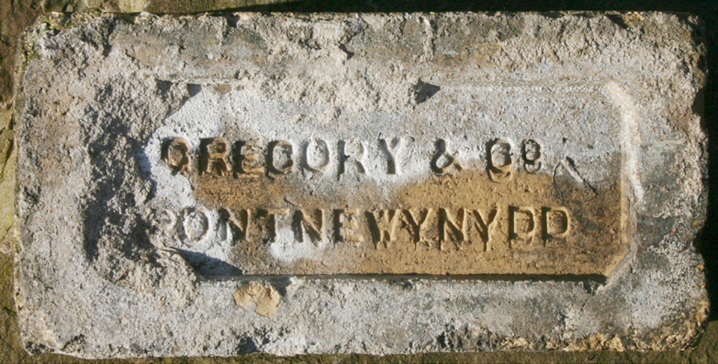 'Gregory & Co Pontnewynydd' |
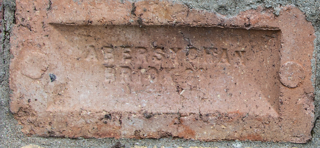
 'Abersychan' |
 'Abersychan' |
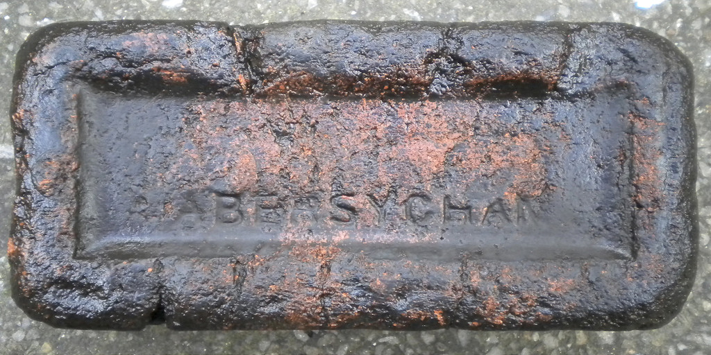 'Abersychan' |
|
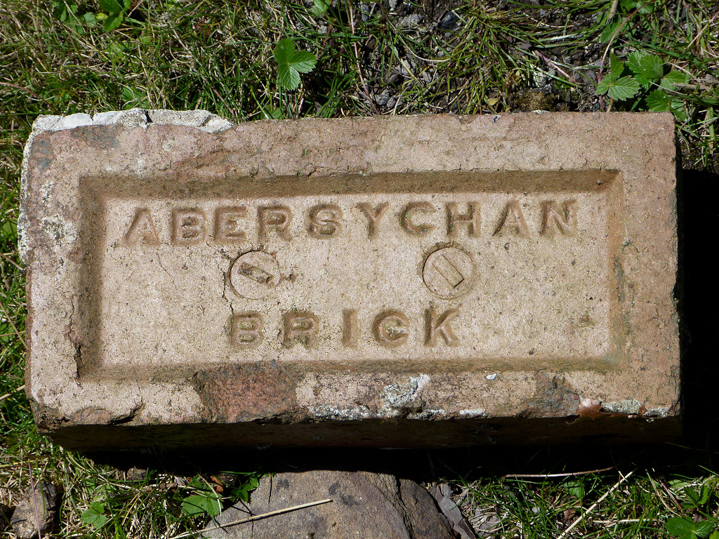 'Abersychan Brick' |
 'Abersychan Brick Co'. |
 Pen Rhiw Frank house |
 Pen Rhiw Frank quarry |
 Rhiw Frank quarry |
 Rhiw Frank quarry |
 The MRCC line in Abersychan |
 The MRCC line in Abersychan |
 The MRCC line in Abersychan |
 The MRCC line looking South |
 Victoria Road tramroad course |
 Victoria Road tramroad bridge |
 MRCC bridge at Denbridge Road |
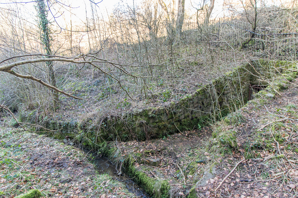
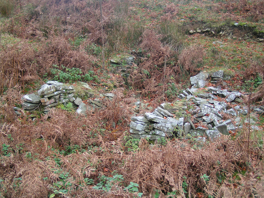
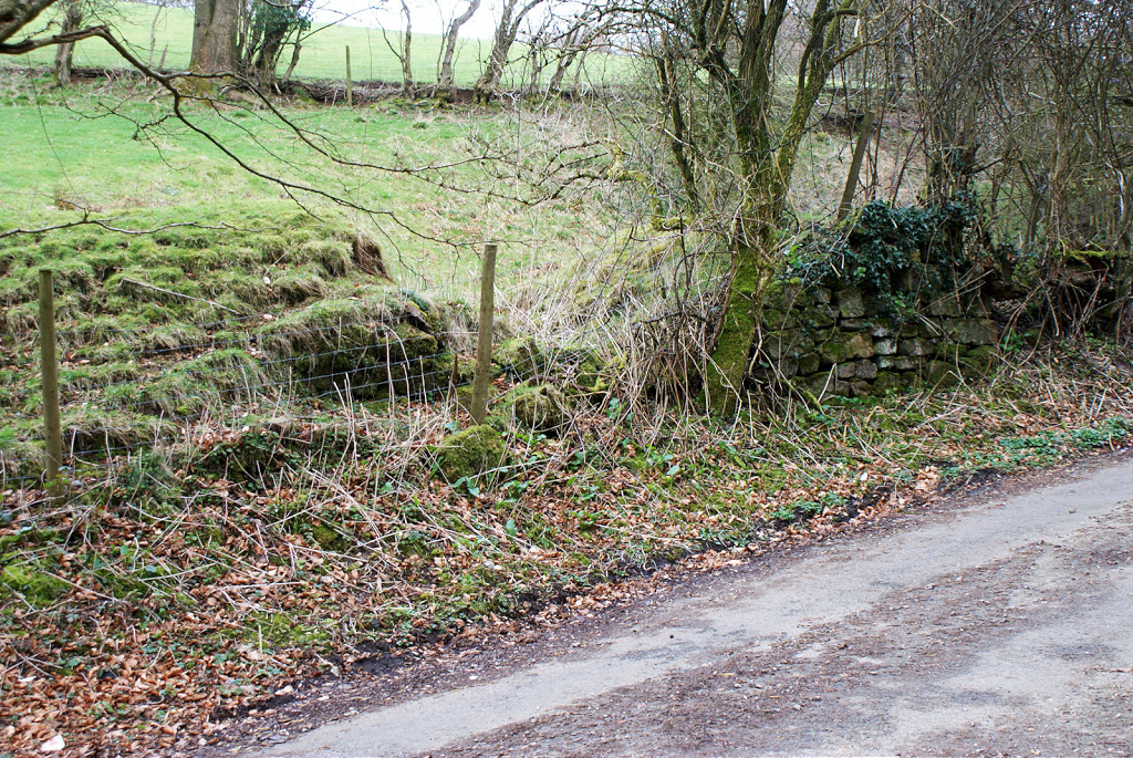 Buttresses at Nant-y-Meilor |
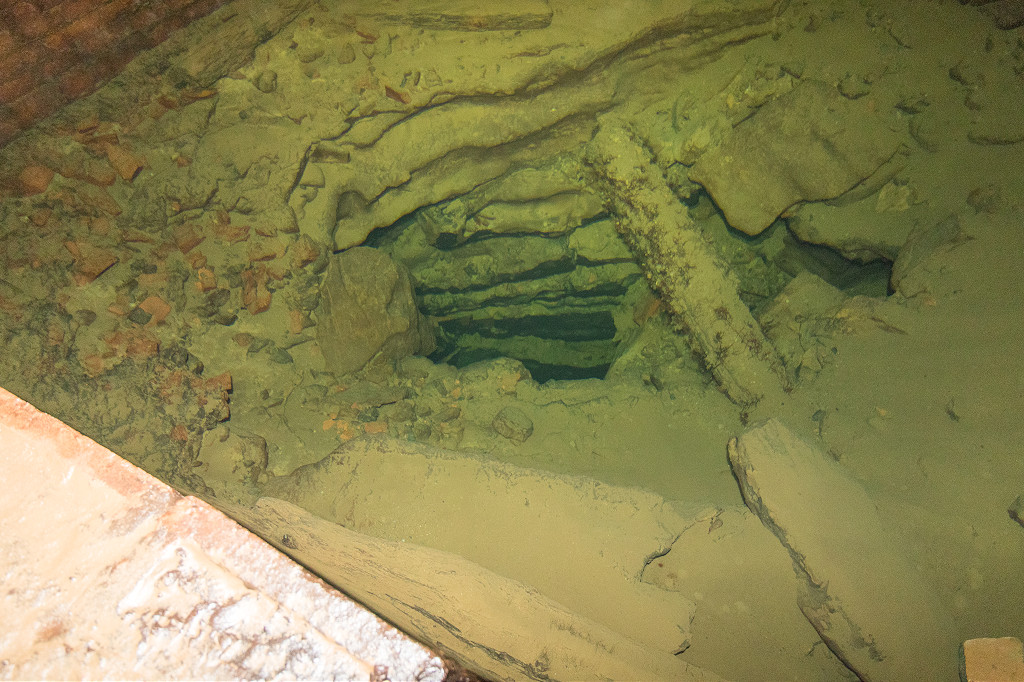
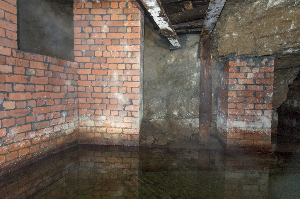
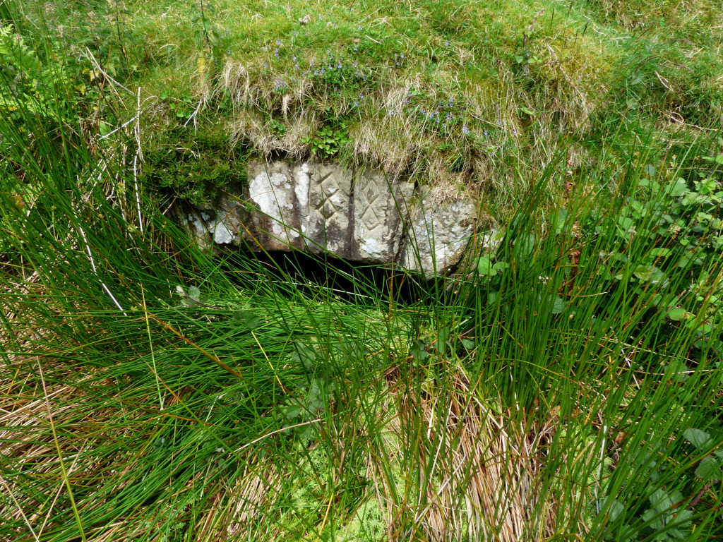
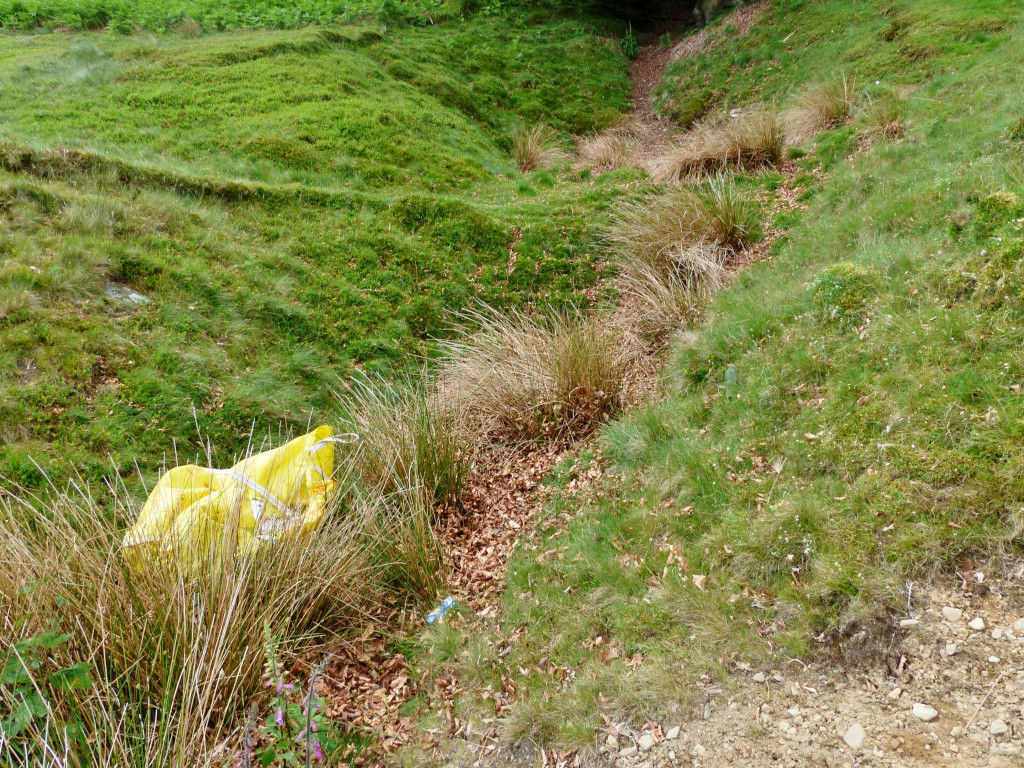
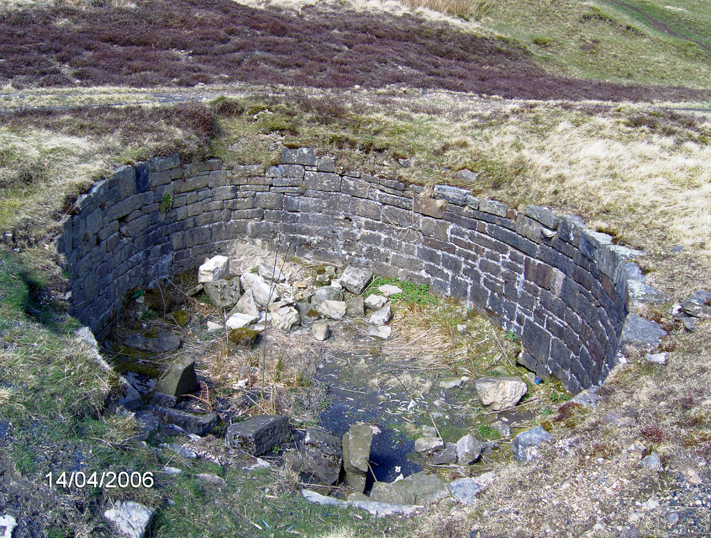
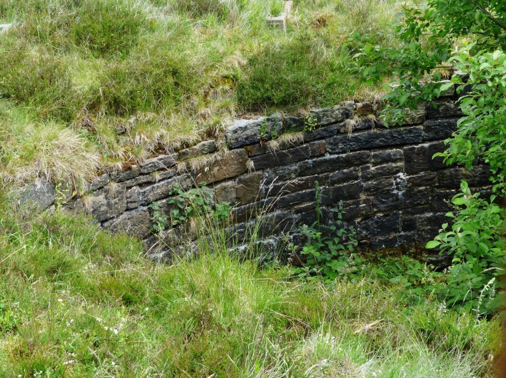
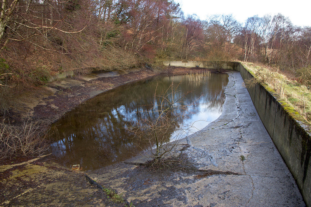
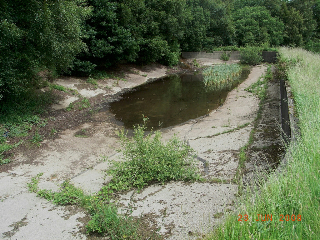
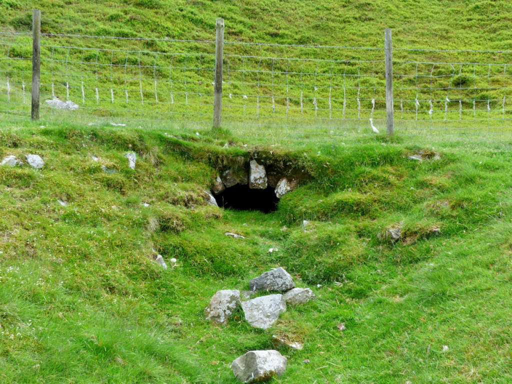
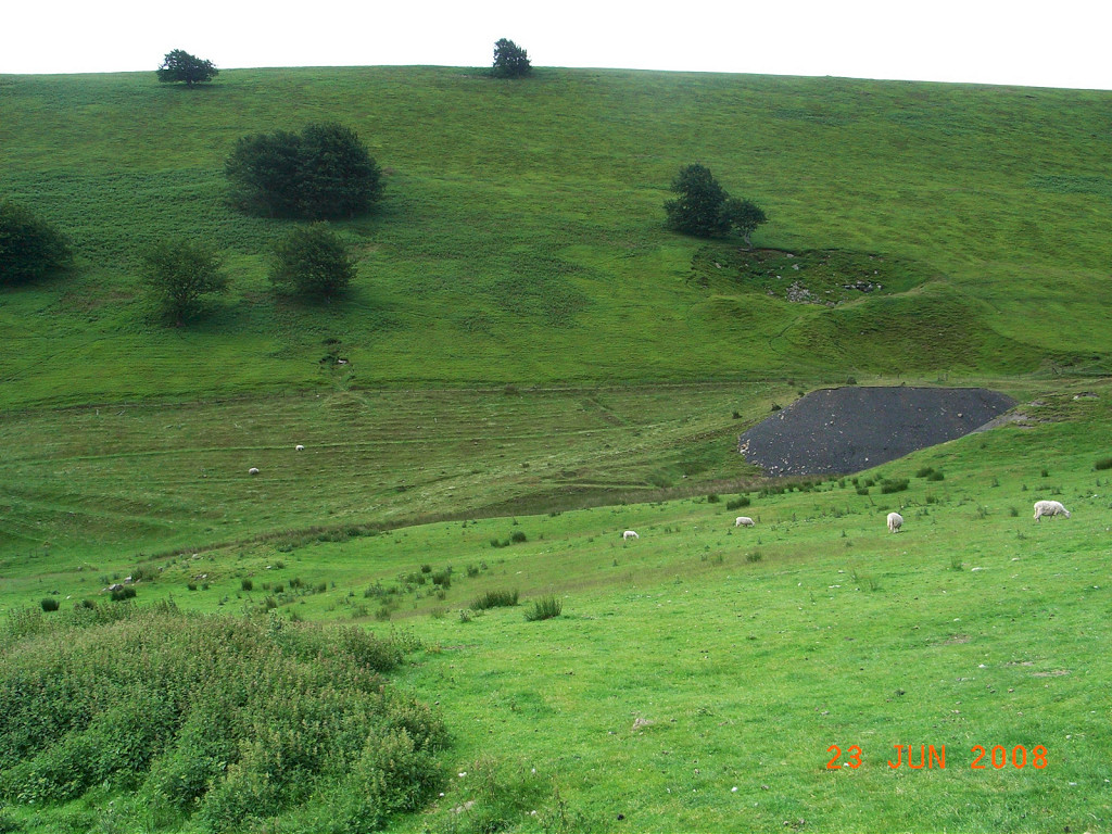
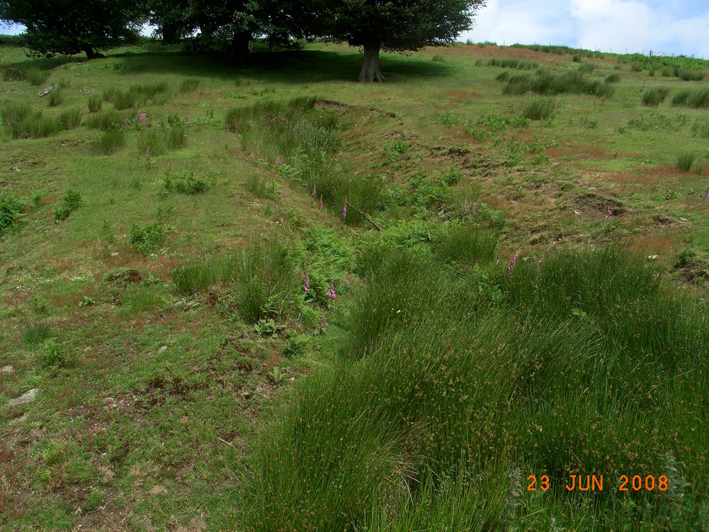
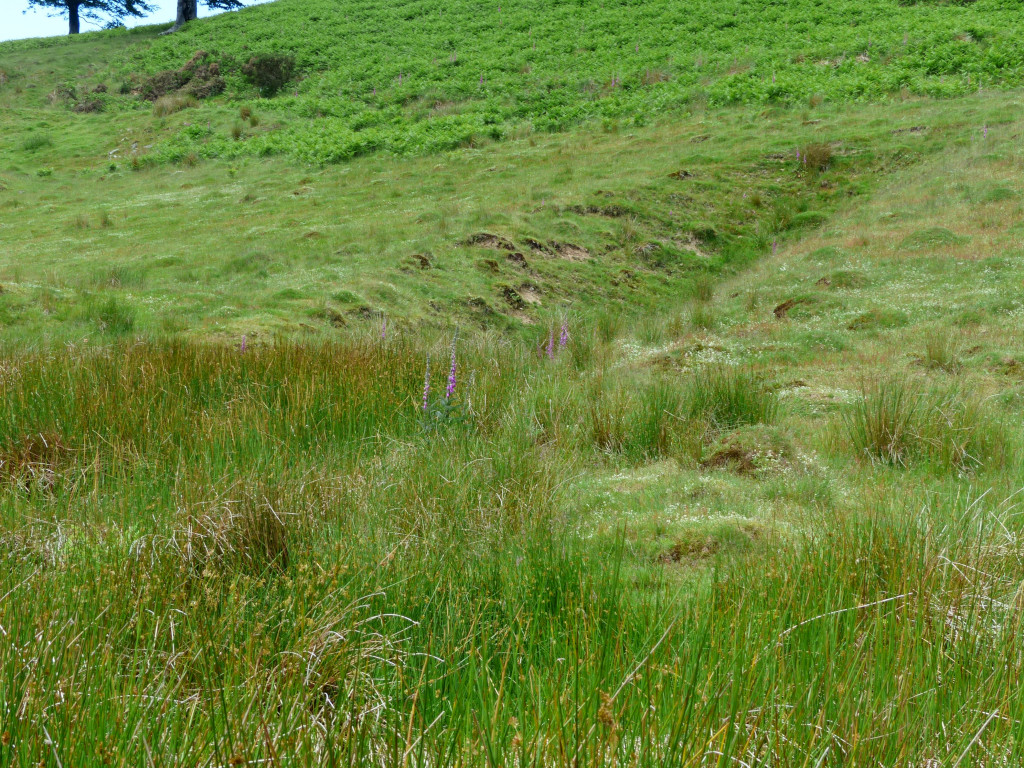
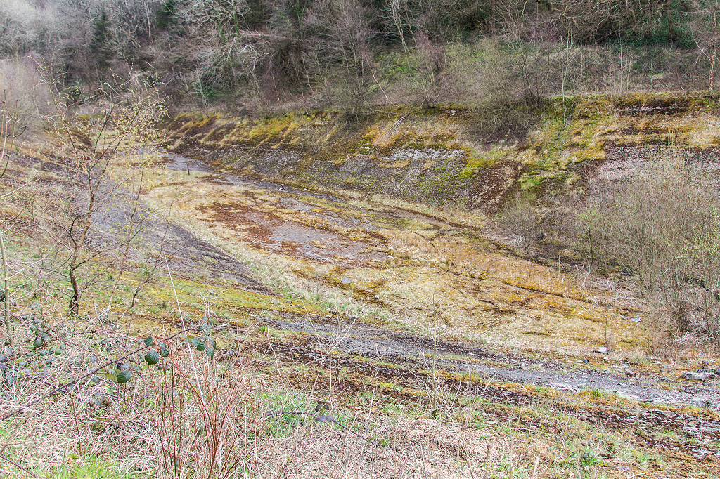 Nant-y-Maelor reservoir |
 Nant-y-Maelor reservoir |
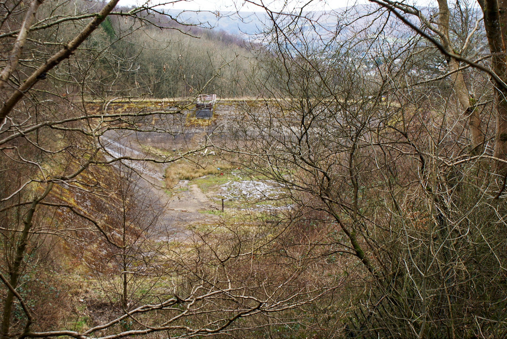 Nant-y-Meilor reservoir |
 Nant-y-Maelor reservoir |
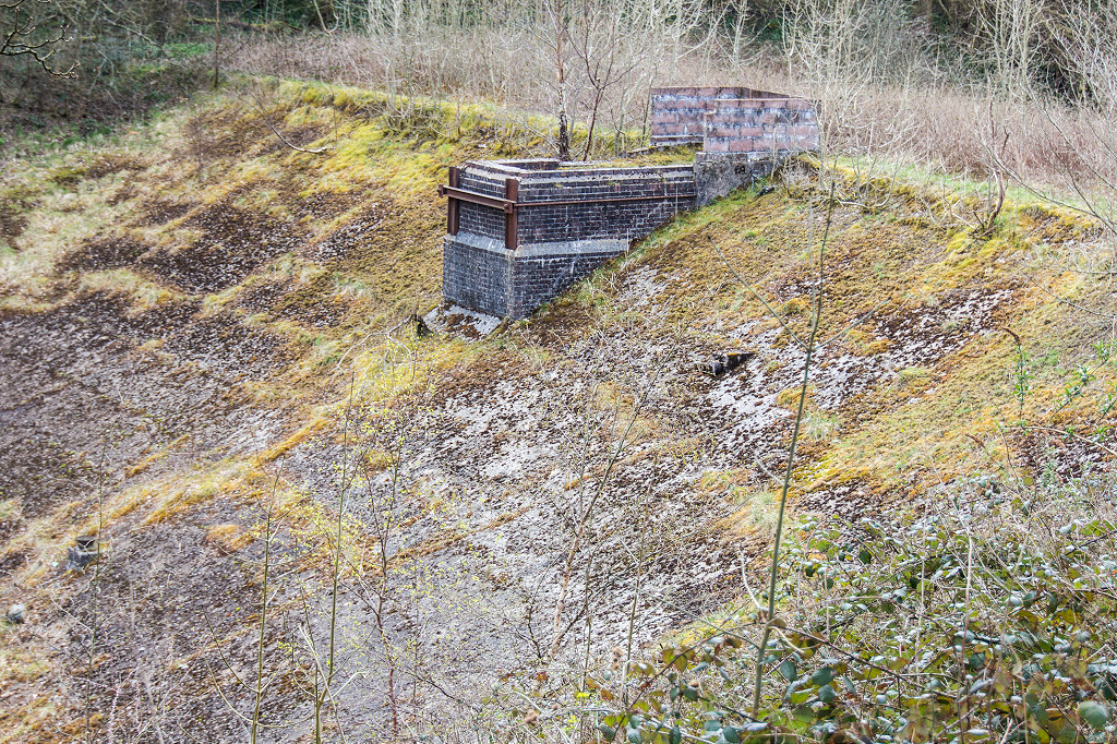
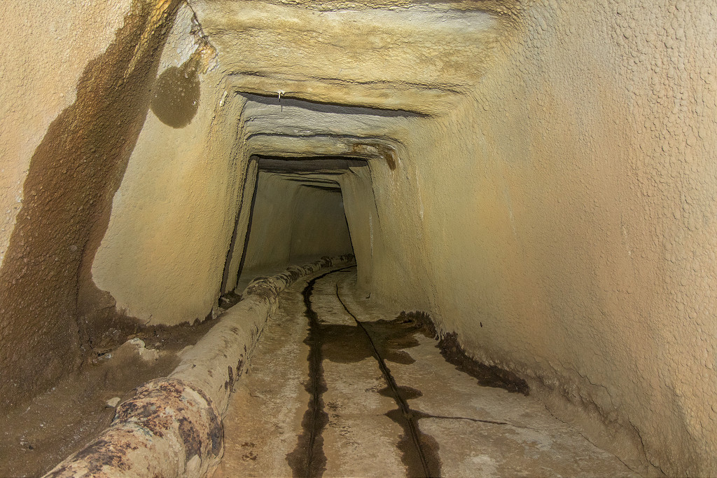
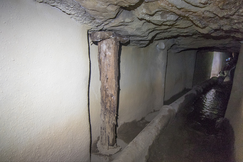
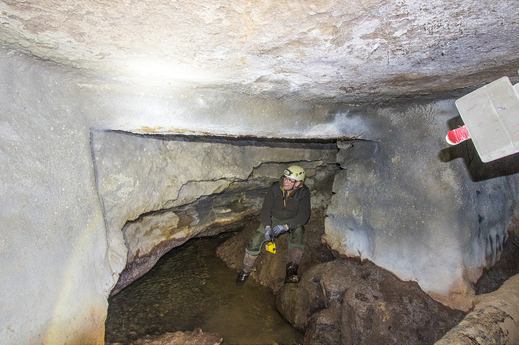
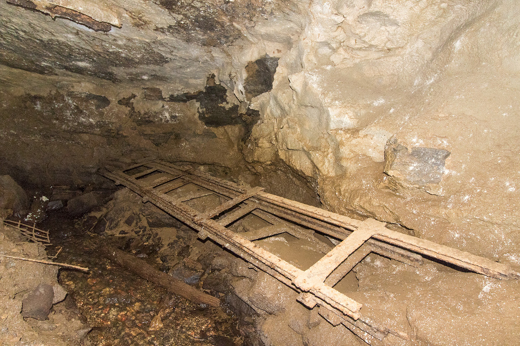
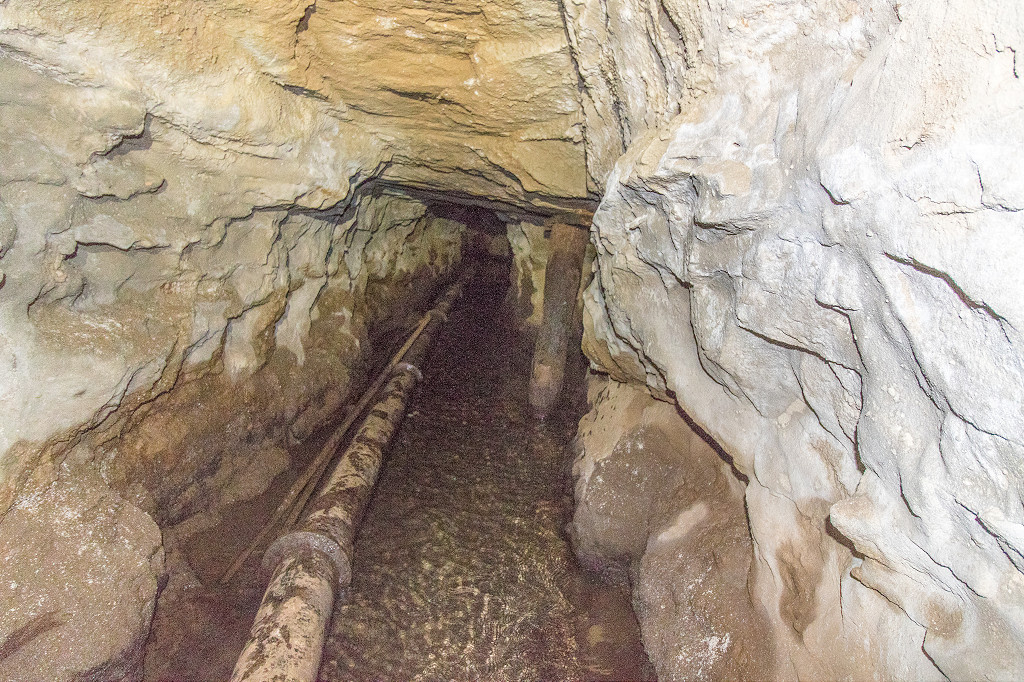
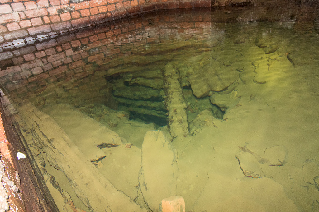
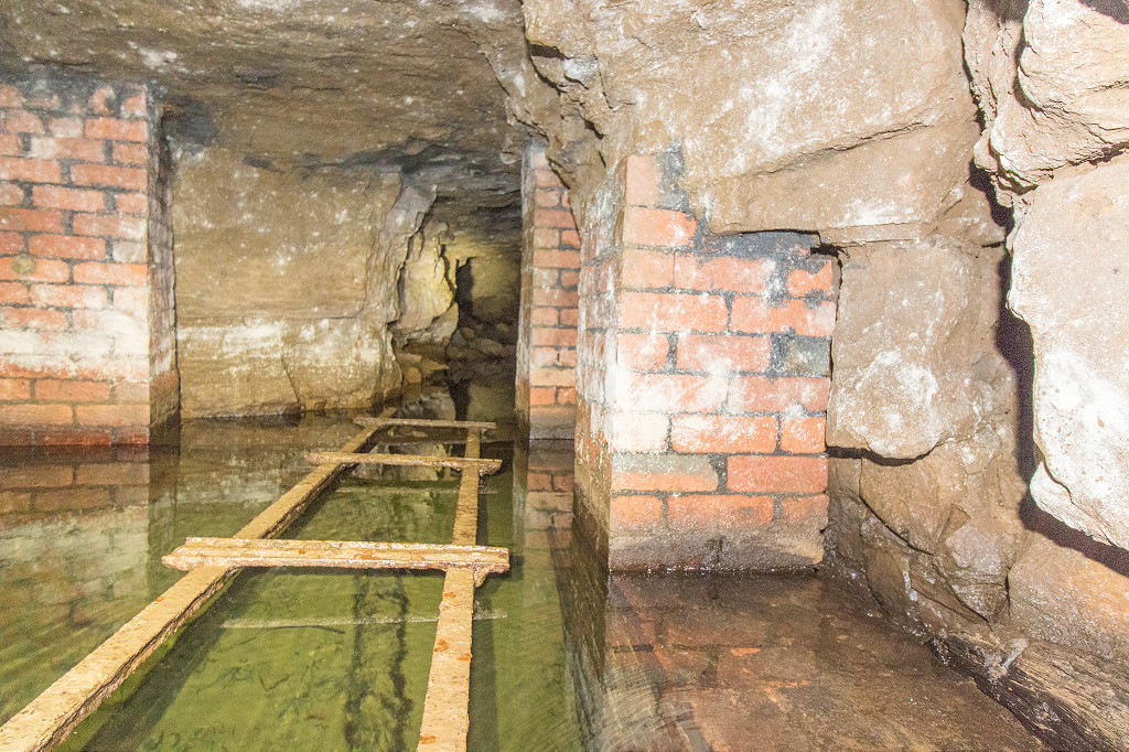
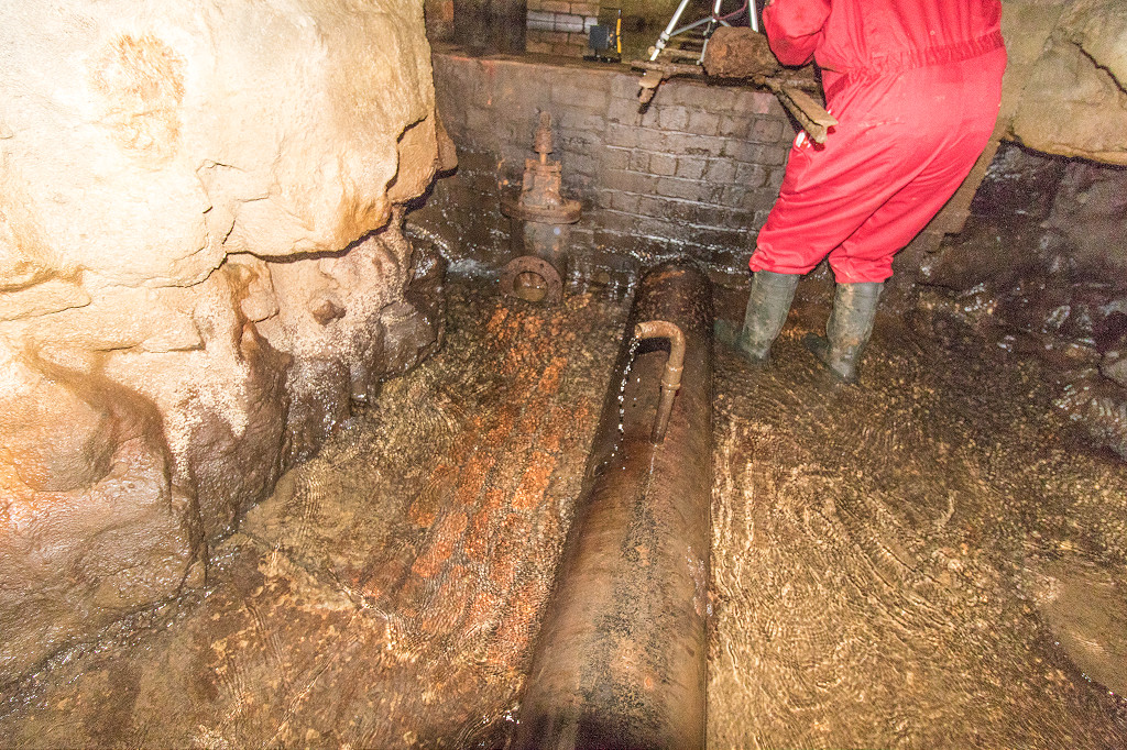
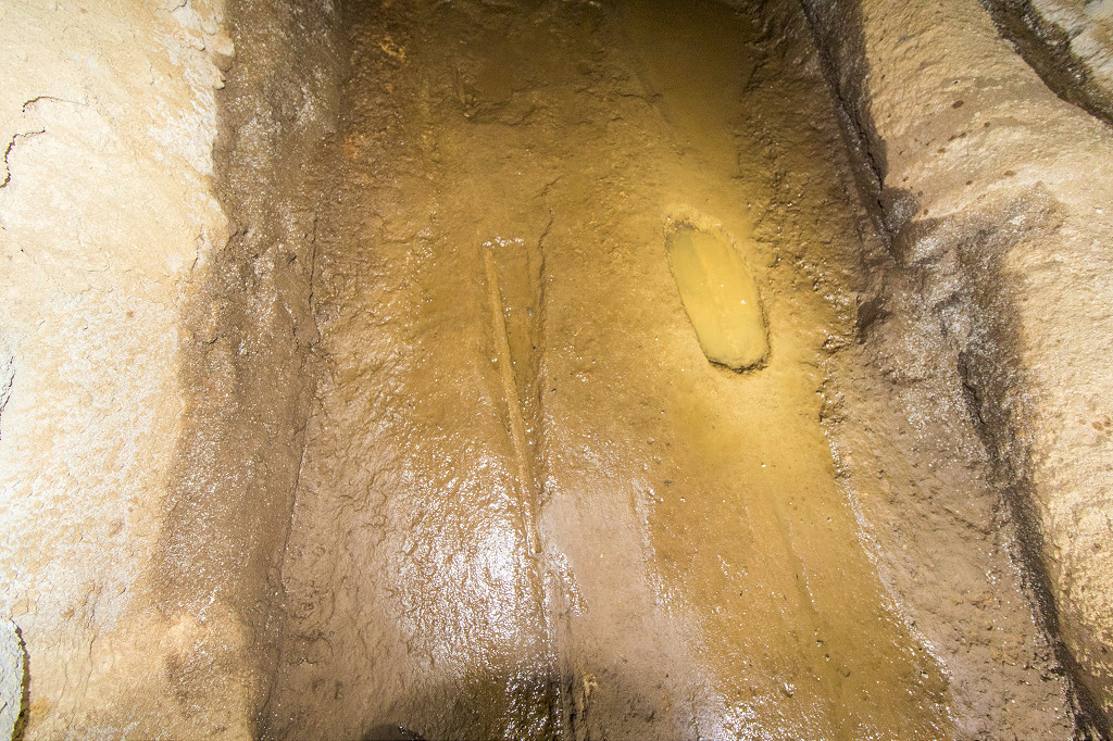
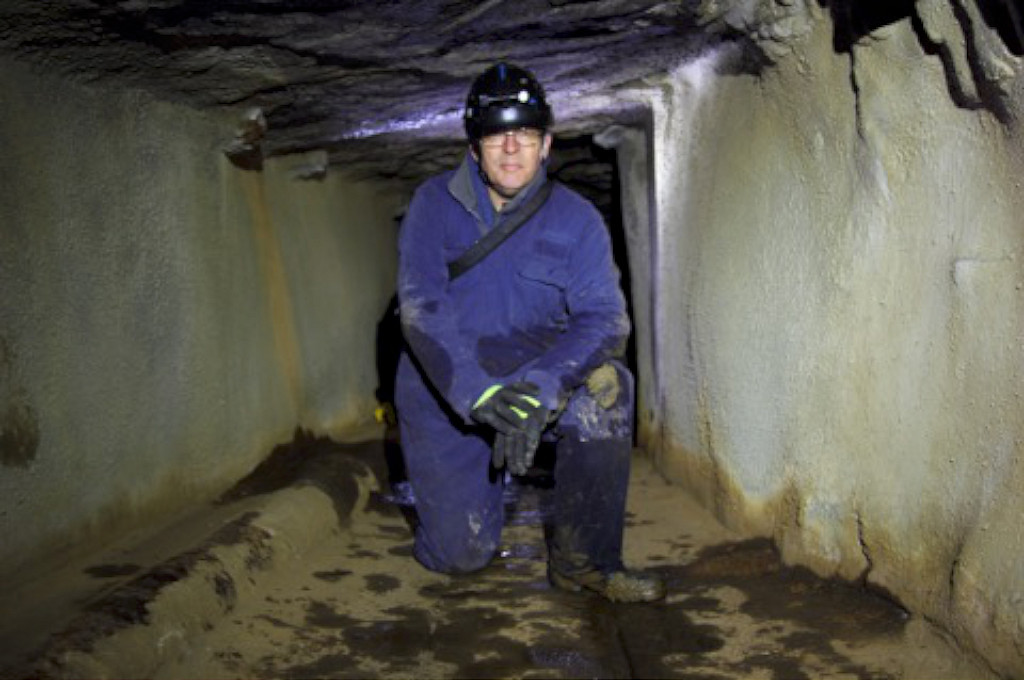
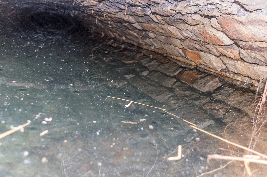
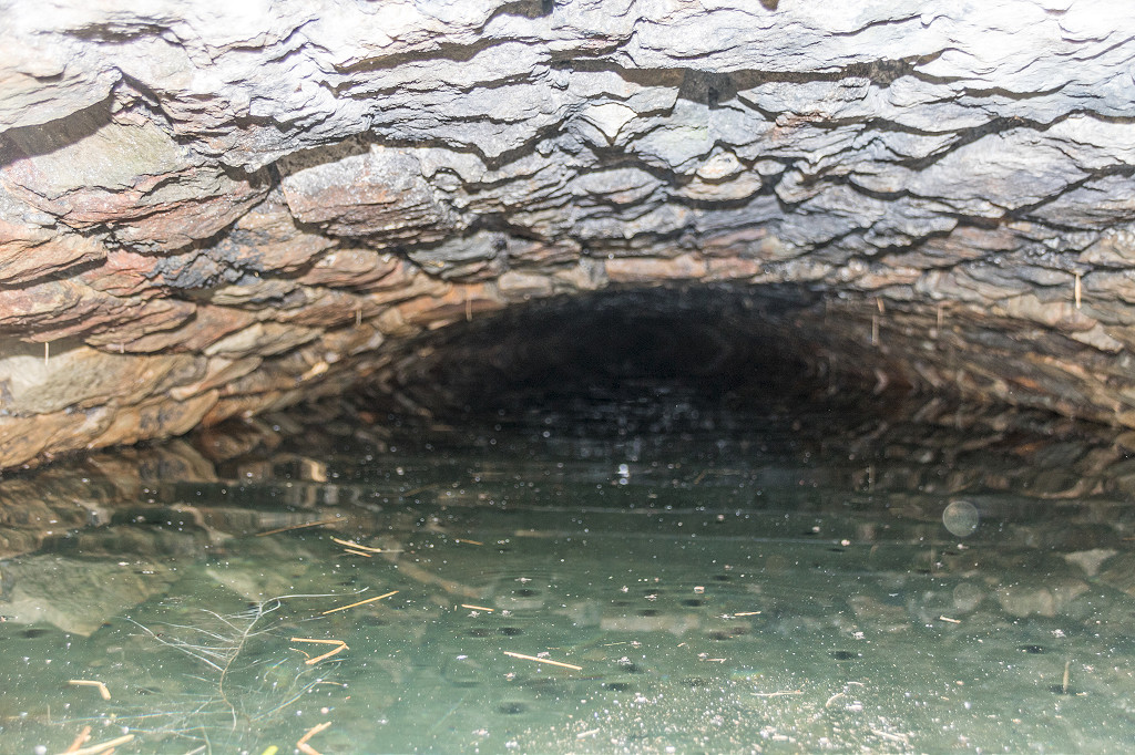
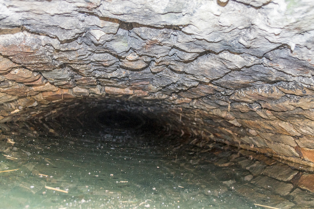
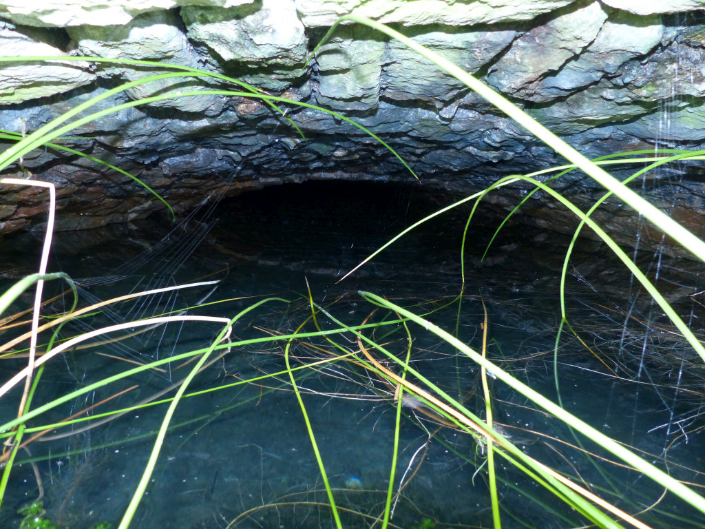
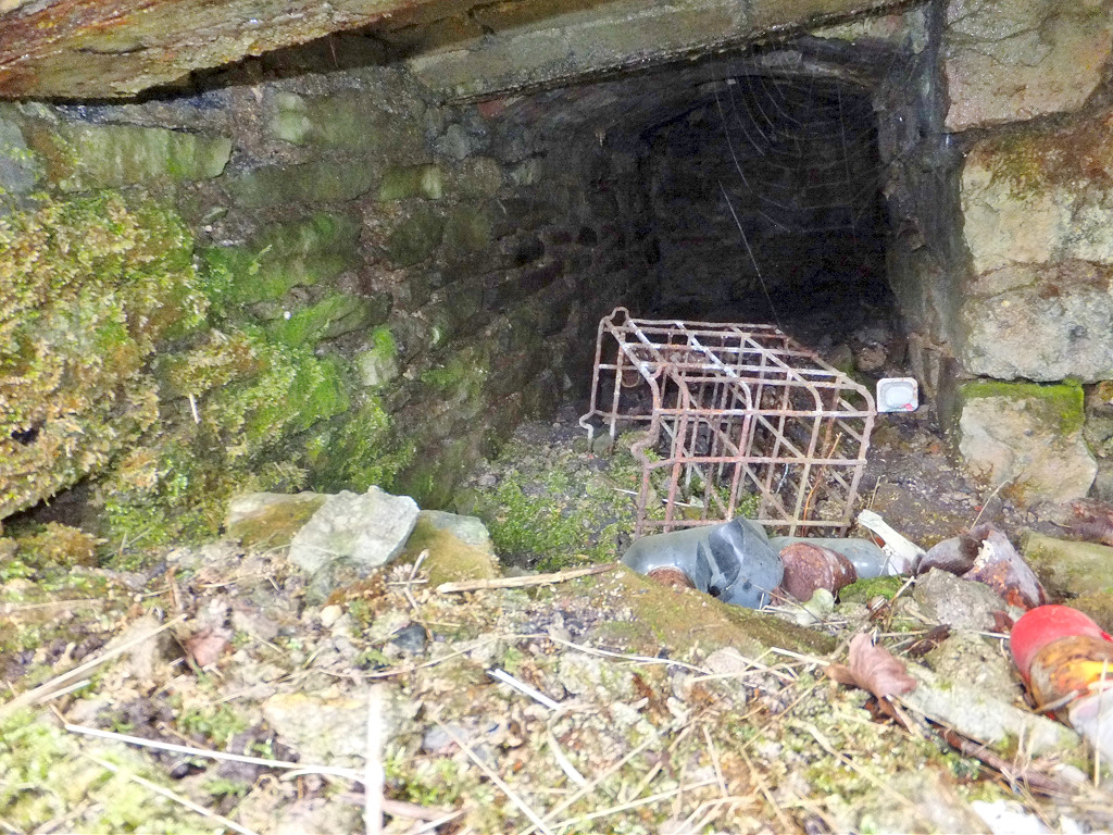
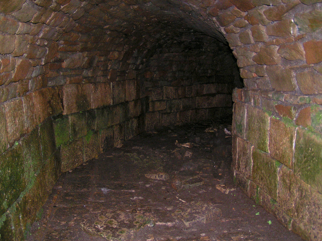
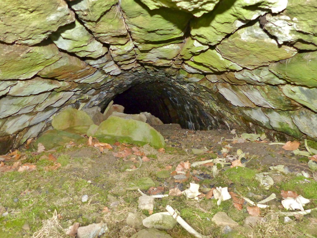
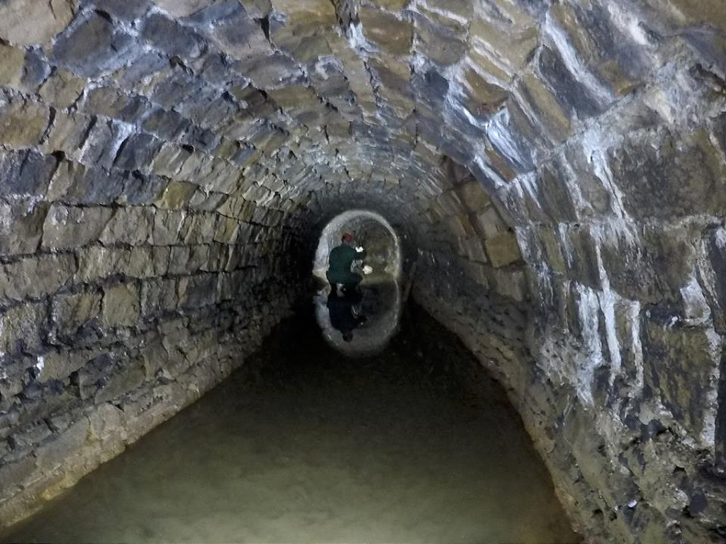
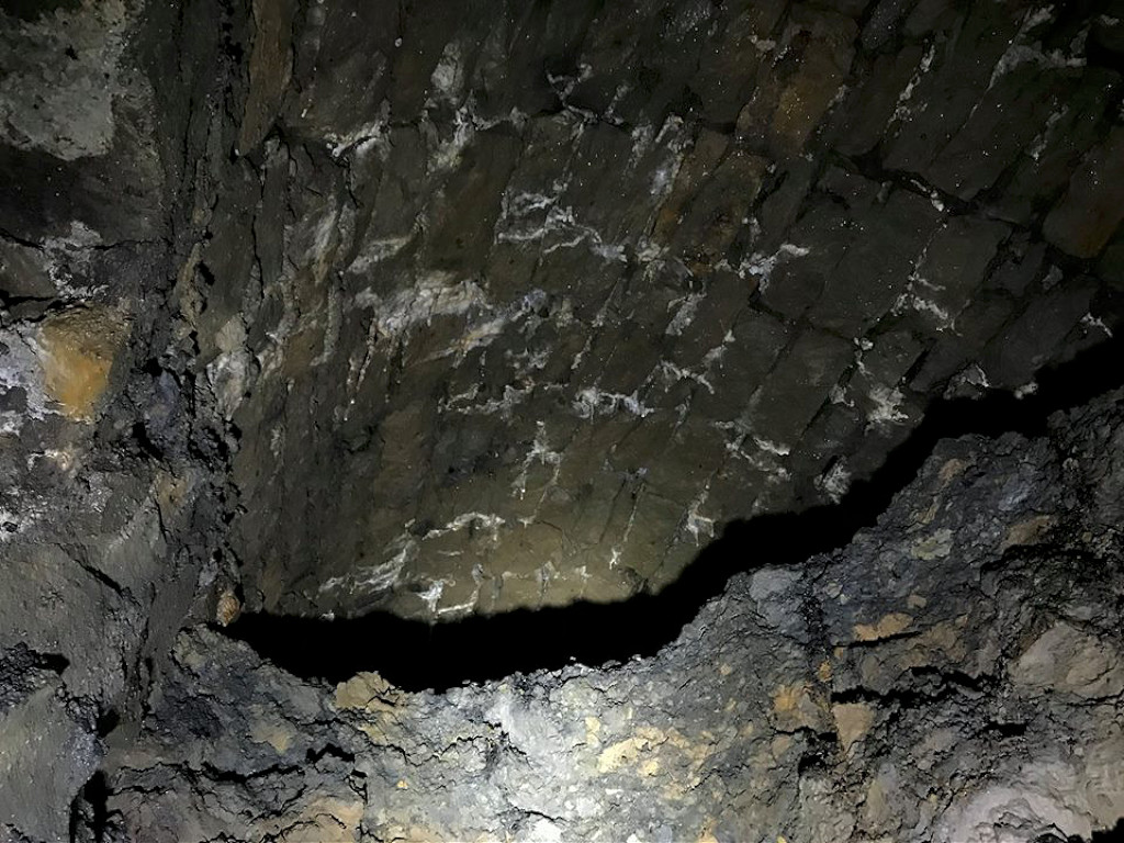
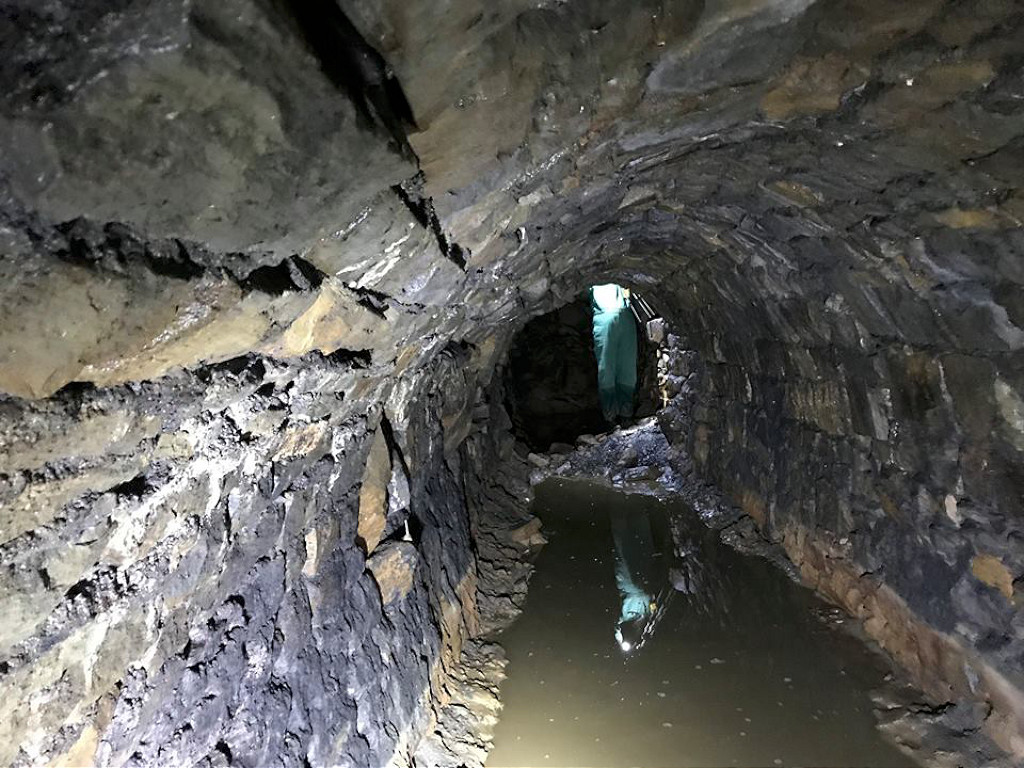
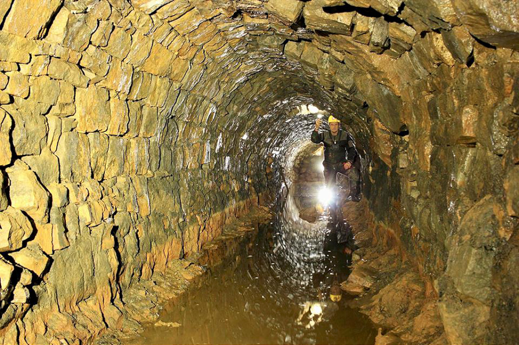
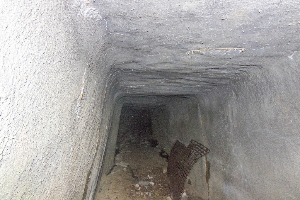 Nant-y-Maelor reservoir tunnel |
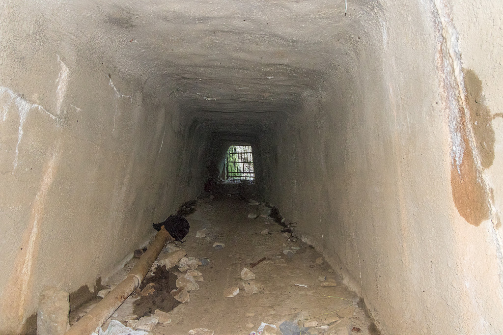 Nant-y-Maelor reservoir tunnel |
 Nant-y-Maelor reservoir tunnel |
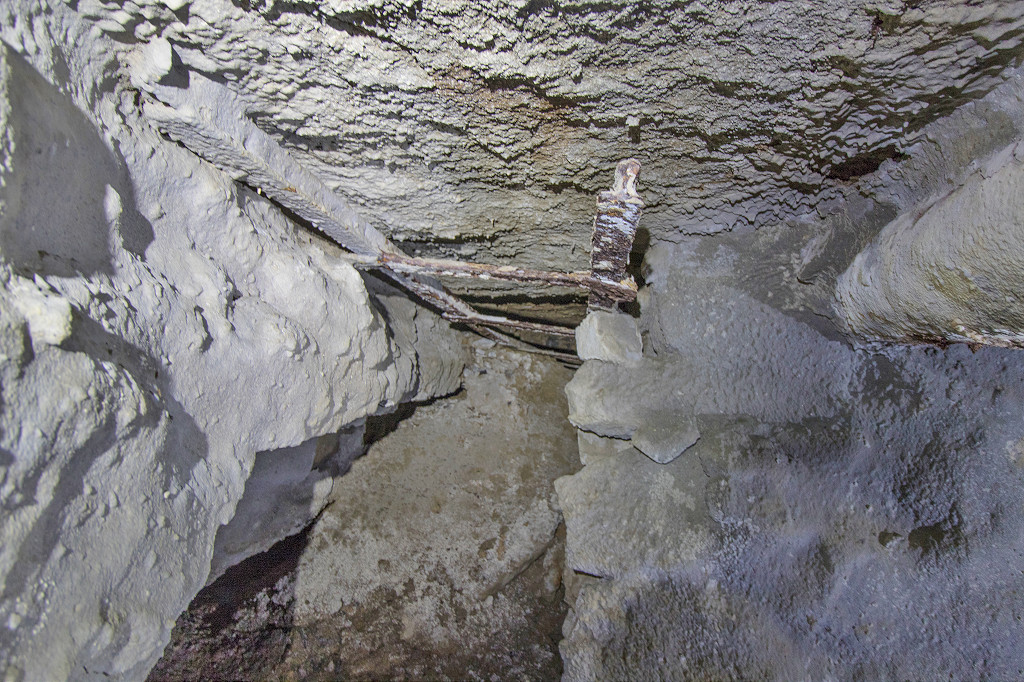
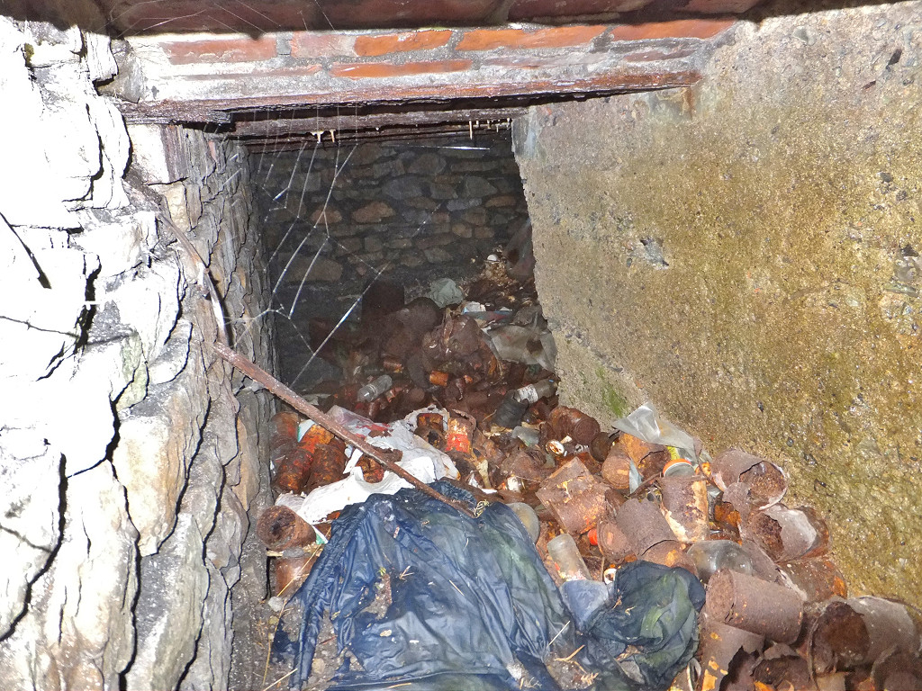
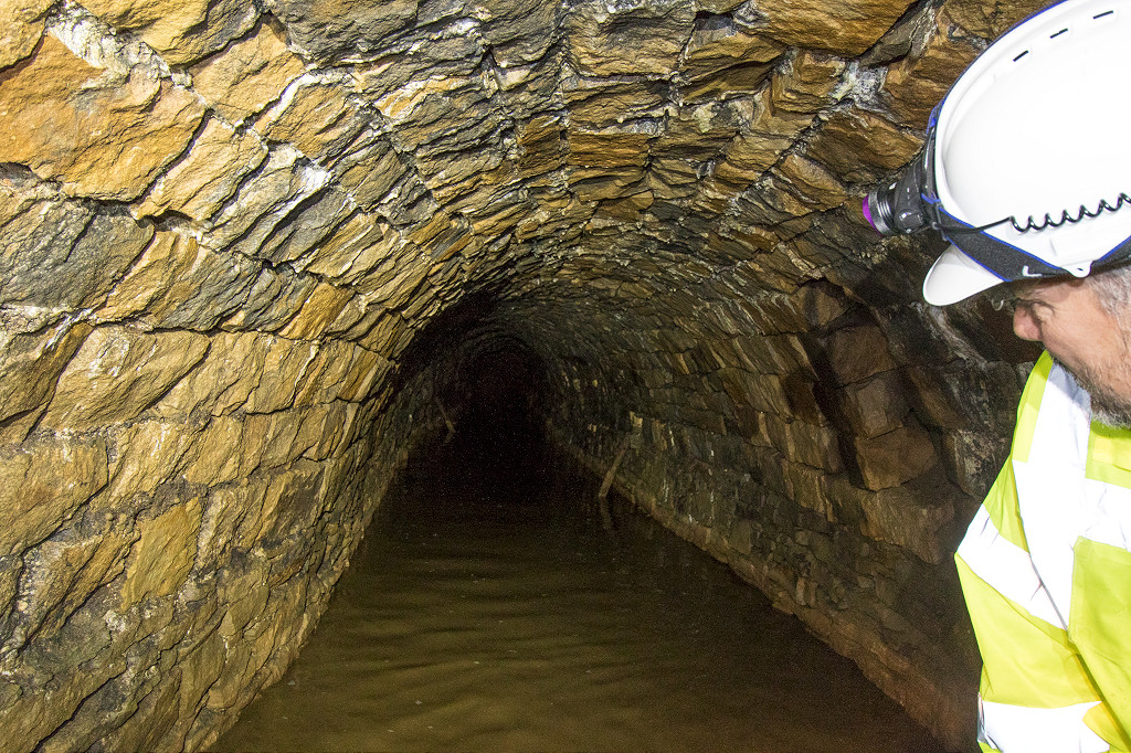
 Nant-y-Maelor reservoir tunnel |
 Nant-y-Maelor reservoir tunnel |
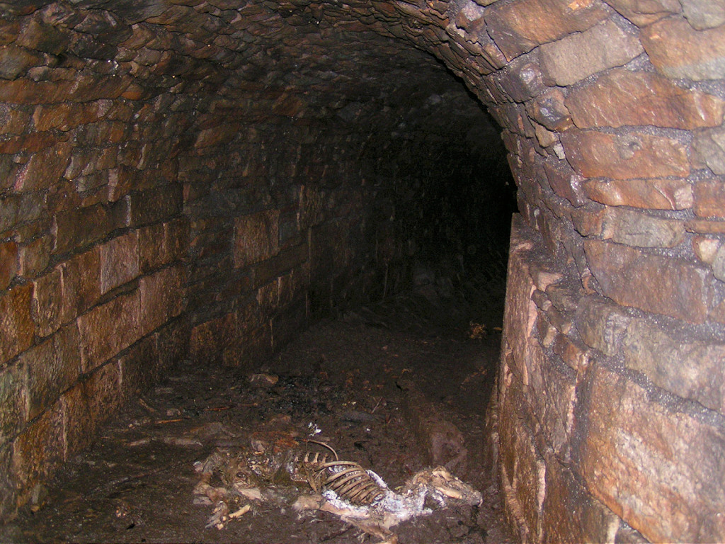
 Nant-y-Maelor reservoir tunnel |
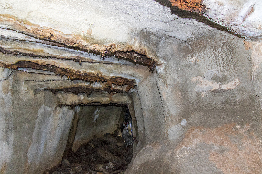
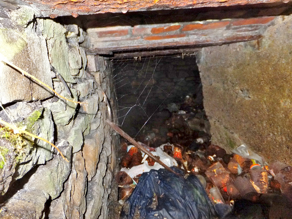
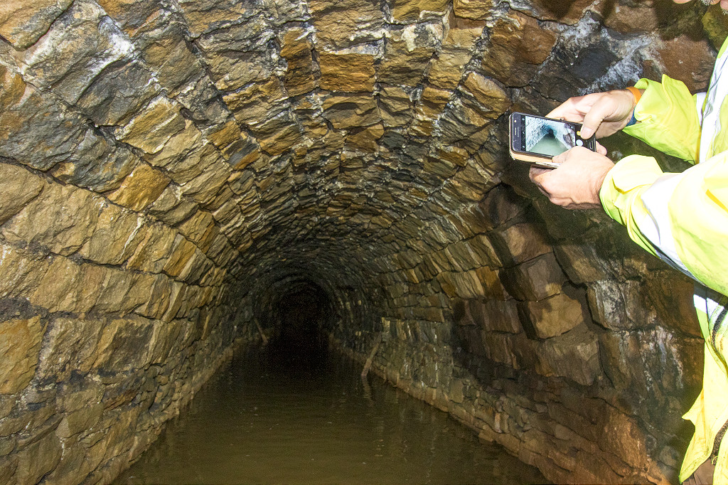
 Nant-y-Maelor reservoir tunnel |
 Nant-y-Maelor reservoir tunnel |
 Nant-y-Maelor reservoir tunnel |
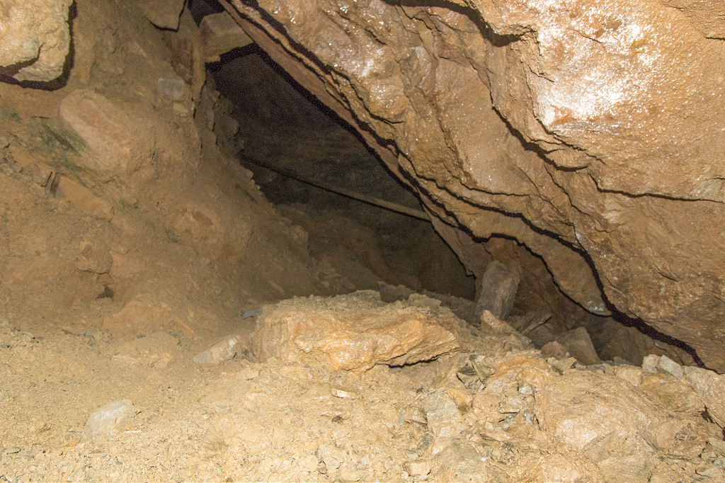
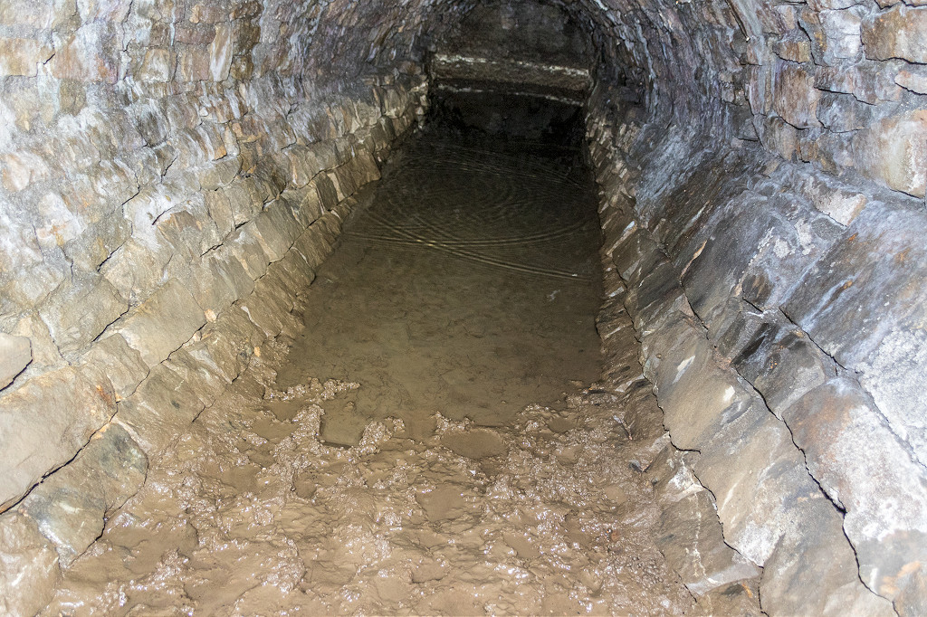
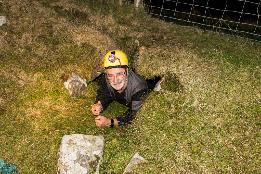
 Nant-y-Maelor reservoir tunnel |
 Nant-y-Maelor reservoir tunnel |
 Nant-y-Maelor reservoir tunnel |
 Nant-y-Maelor reservoir tunnel |
 Nant-y-Maelor reservoir tunnel |
 Nant-y-Maelor reservoir tunnel |
 Nant-y-Maelor reservoir tunnel |
 Nant-y-Maelor reservoir tunnel |
 Nant-y-Maelor reservoir tunnel |
 Nant-y-Maelor reservoir tunnel |
 Nant-y-Maelor reservoir tunnel |
 Nant-y-Maelor reservoir tunnel |
 Nant-y-Maelor reservoir tunnel |
 Nant-y-Maelor reservoir tunnel |
 Nant-y-Maelor reservoir tunnel |
 Nant-y-Maelor reservoir tunnel |
 Nant-y-Maelor reservoir tunnel |
 Nant-y-Maelor reservoir tunnel |
 Nant-y-Maelor reservoir tunnel |
 Nant-y-Maelor reservoir tunnel |
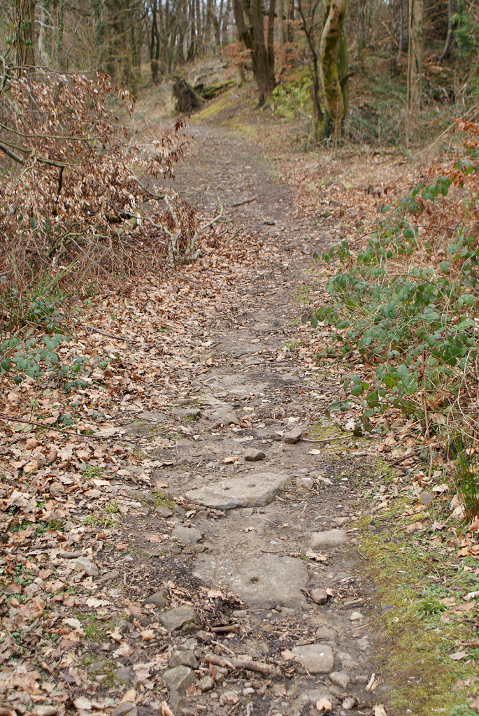
 Lasgarn Railroad South, 1880 |
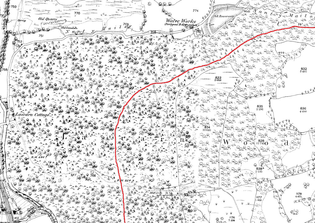 Lasgarn Railroad North, 1880 |
 Lasgarn Quarry, 1880 |
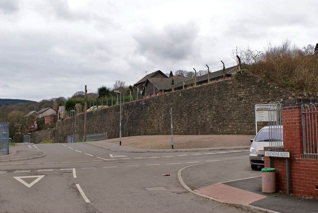
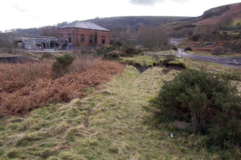
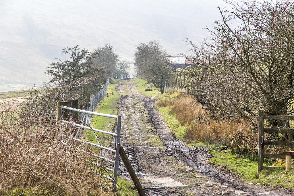
 The railroad at Valentine Road |
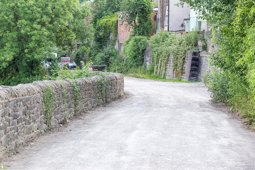
 Lasgarn Railroad to MRCC |
 Lasgarn Railroad to MRCC |
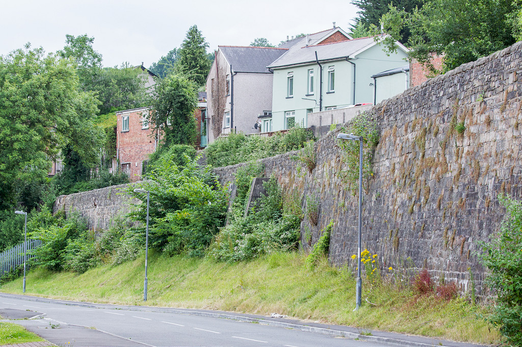
 Railroad bridge foundations |
 Lasgarn Railroad Incline Top |
 Lasgarn Railroad Incline Top |
 Railroad branch near incline |
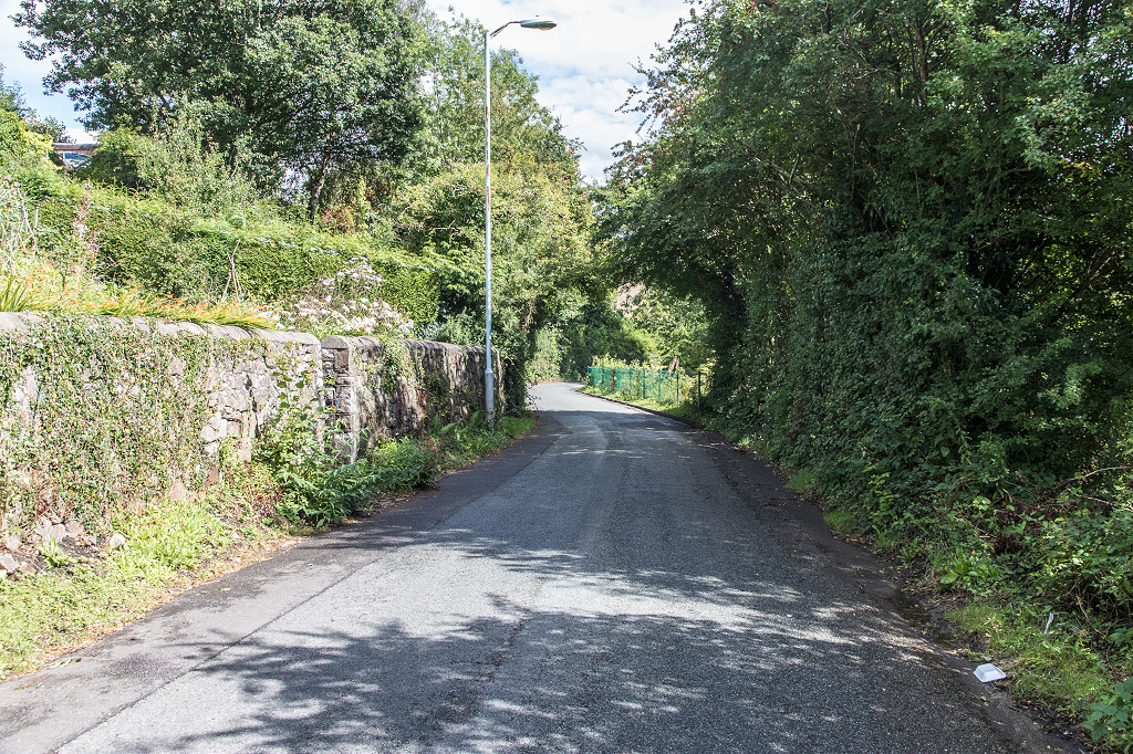
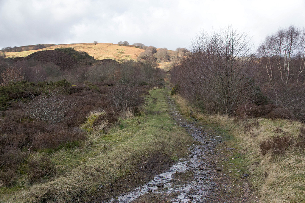
 Lasgarn Railroad trackbed |
 Lasgarn Railroad trackbed |
 Lasgarn Railroad branch trackbed |
 Lasgarn Railroad branch to quarry |
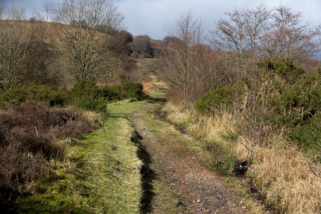
 Lasgarn Railroad embankment |
 Lasgarn Railroad embankment |
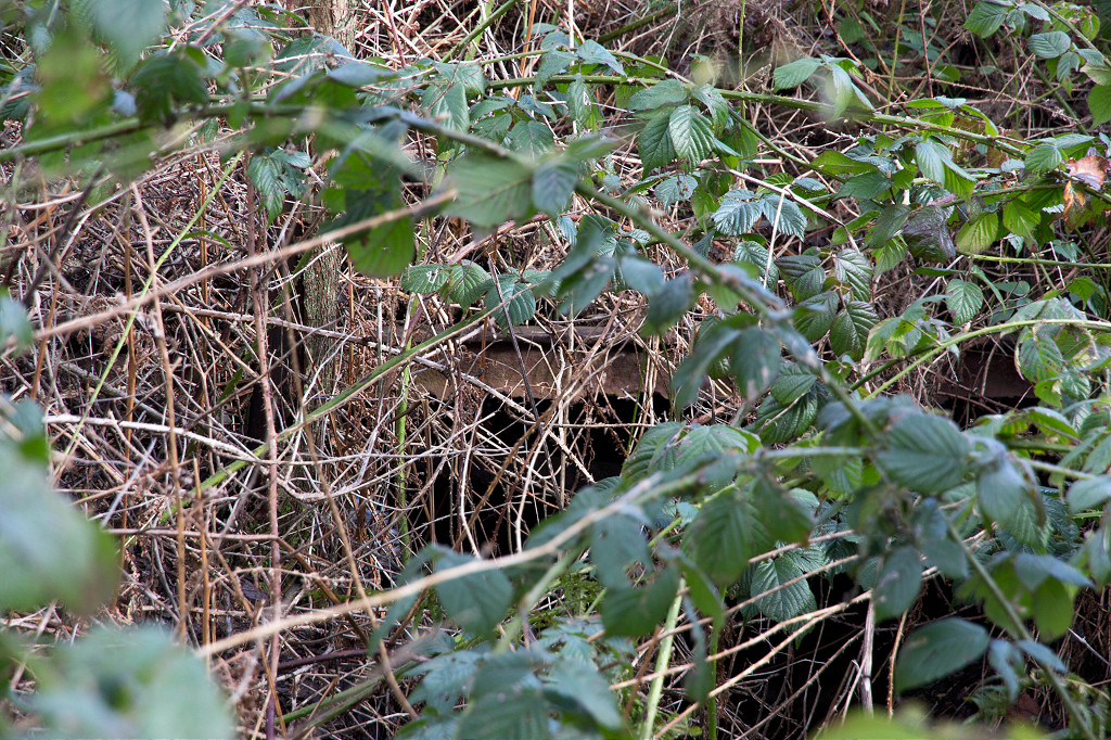
 Lasgarn Railroad sleepers |
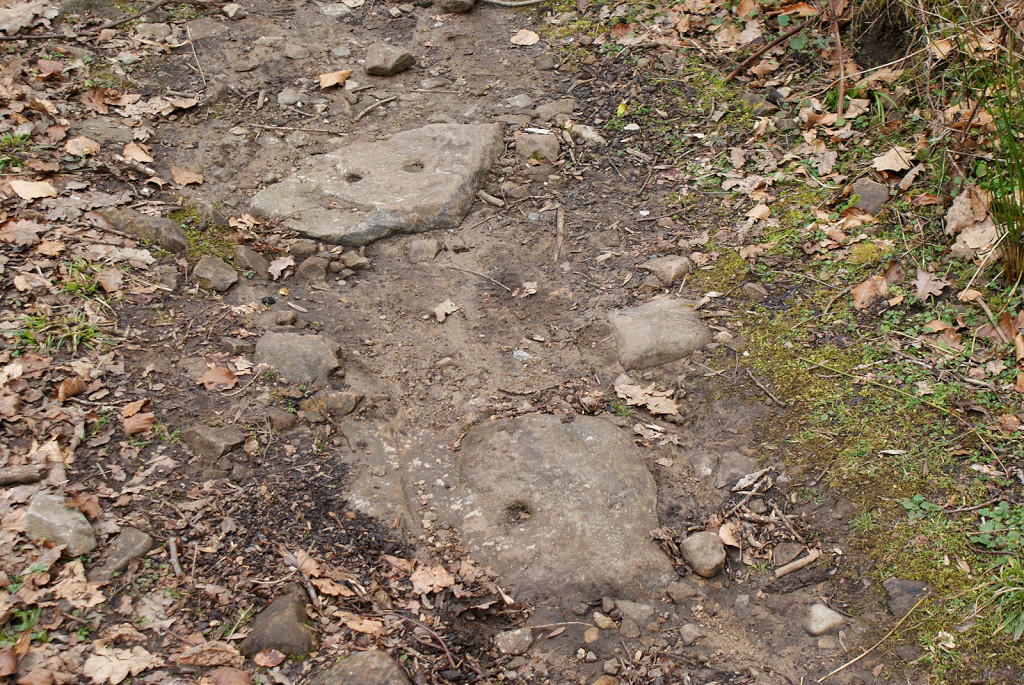 Lasgarn Railroad sleepers |
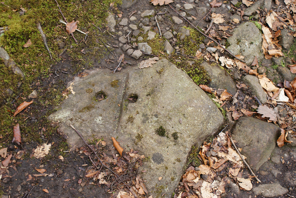 Lasgarn Railroad sleepers |
 Lasgarn Railroad sleepers |
 Lascarn Quarry Southern tunnel |
 Lascarn Quarry Southern tunnel |
 Lascarn Quarry Southern tunnel |
|
 Lascarn Quarry Northern tunnel |
 Lascarn Quarry Northern tunnel |
 Lascarn Quarry Northern tunnel |
 Lascarn Quarry Northern tunnel |
 Lascarn Quarry Northern tunnel |
 Lascarn Quarry Northern tramroad |
 Lascarn Quarry Northern tramroad |
 Lascarn Quarry Northern tramroad |
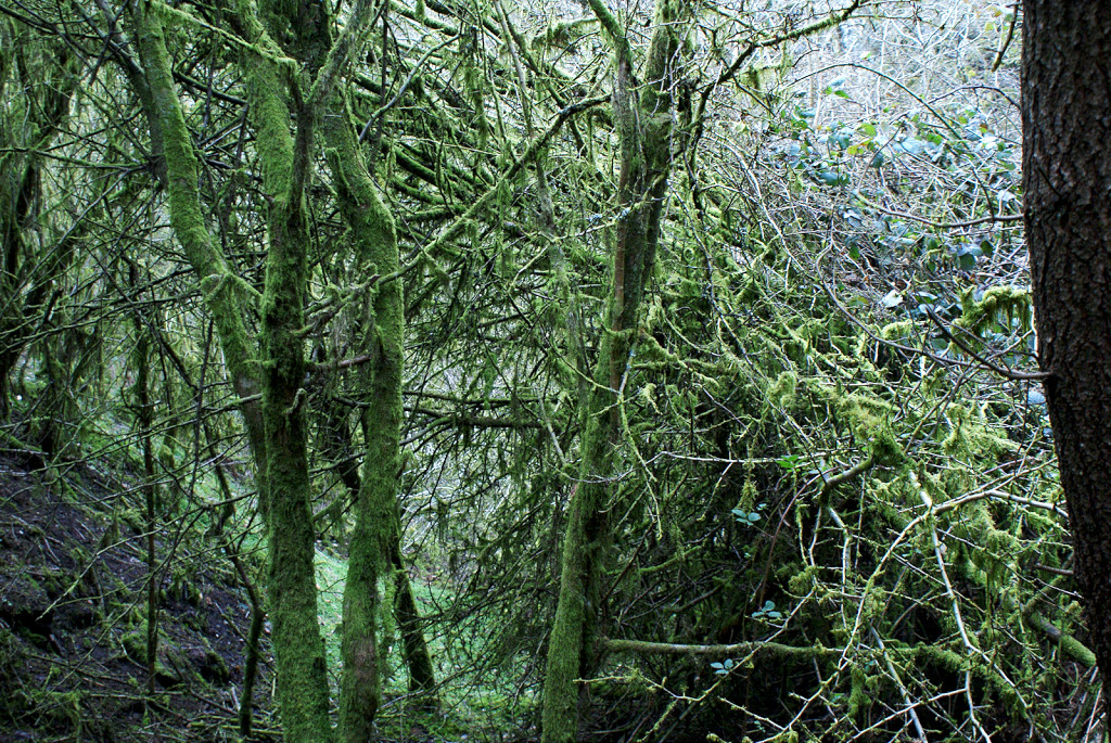
 Small quarry in Lasgarn woods |
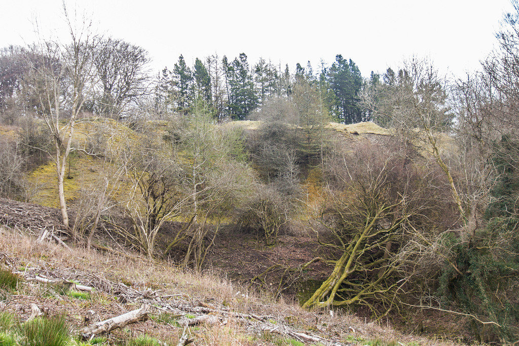 Lasgarn Quarry |
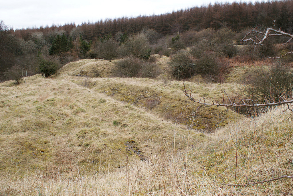 Lascarn Quarry tips |
|
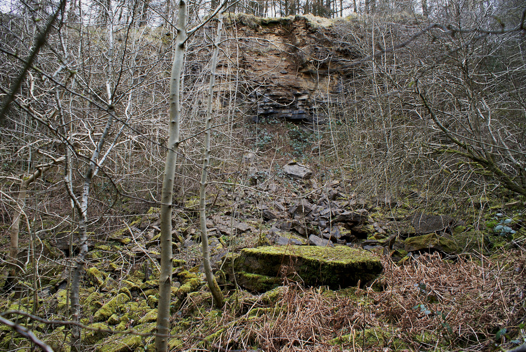 Lascarn Quarry Northern face |
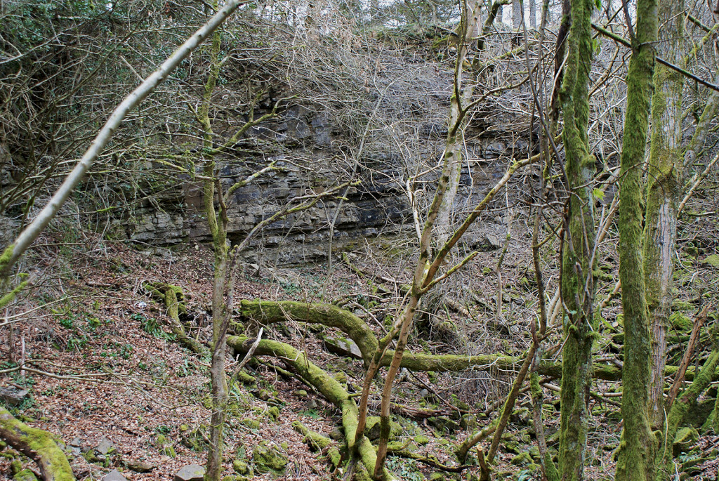 Lascarn Quarry Northern face |
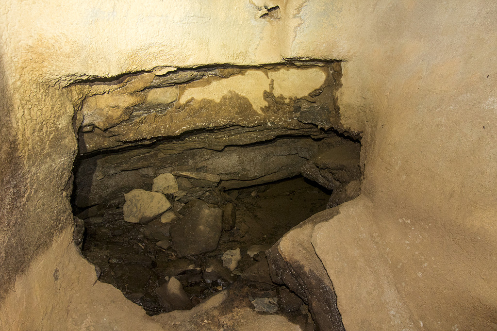
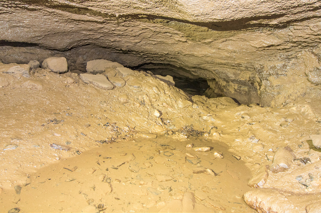
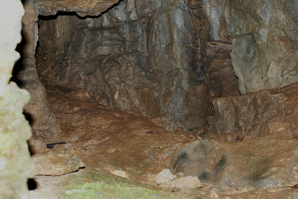 Lascarn Quarry Northern cave |
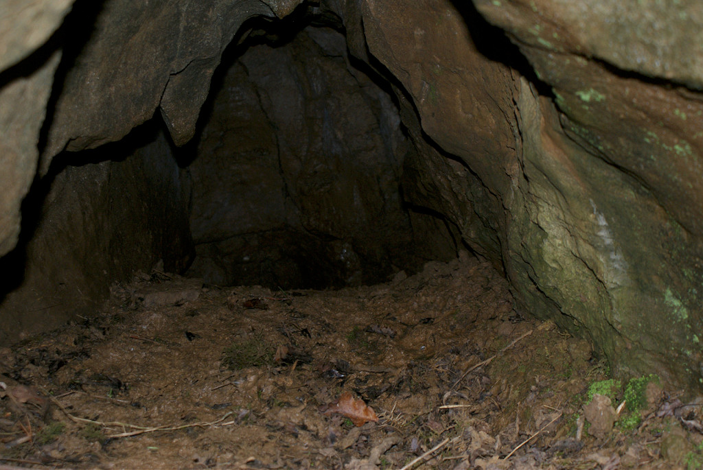 Lascarn Quarry Northern cave |
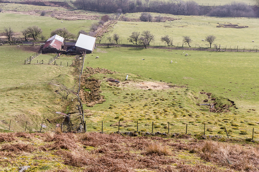
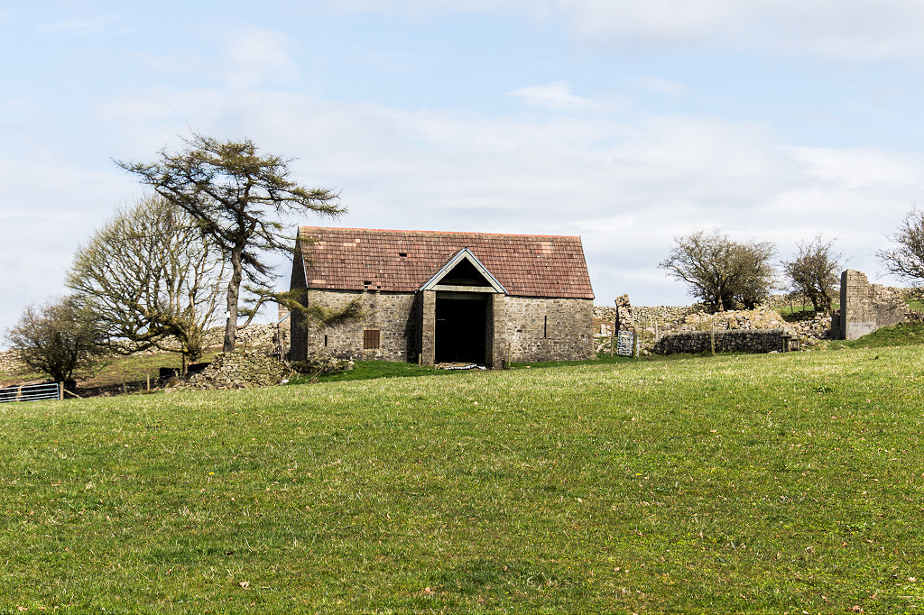 Pen-y-Ddoyga Farm |
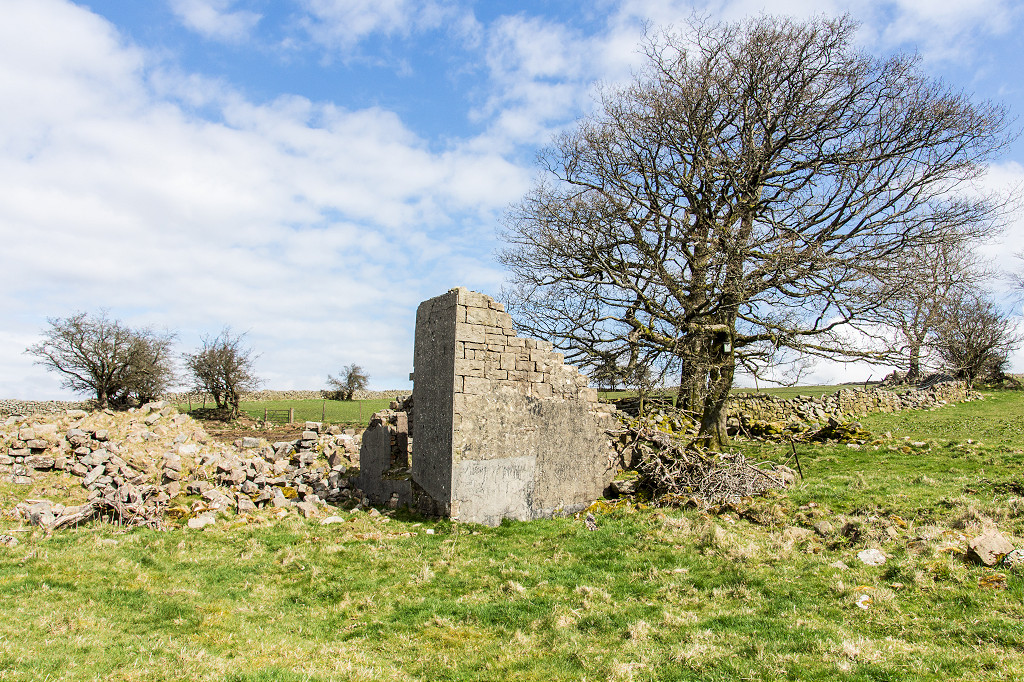 Pen-y-Ddoyga Farm |
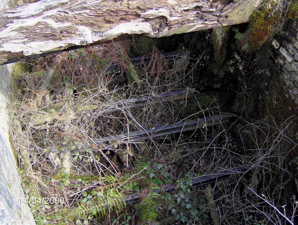
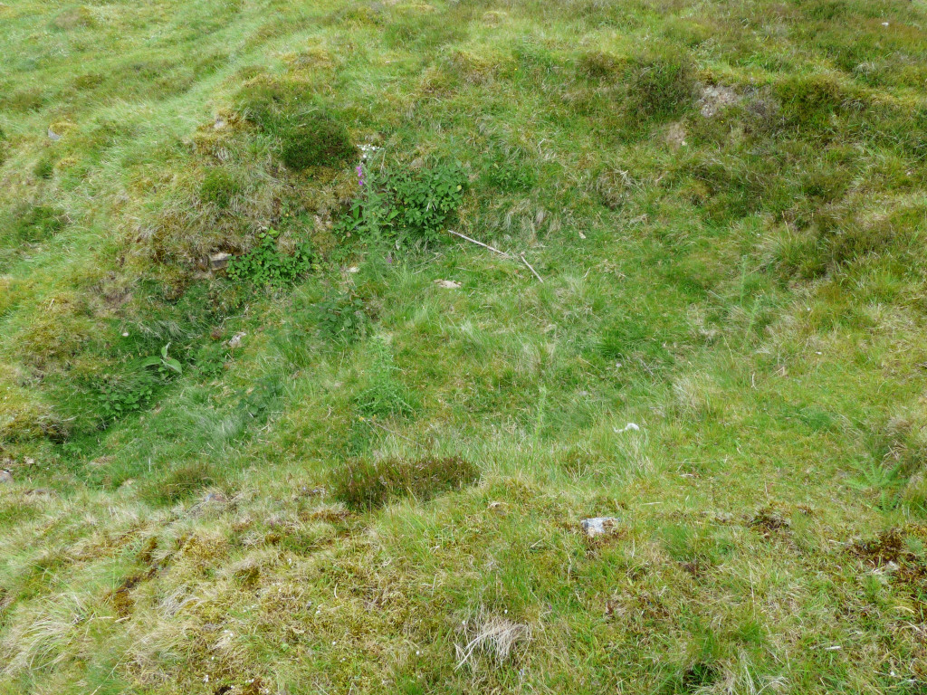
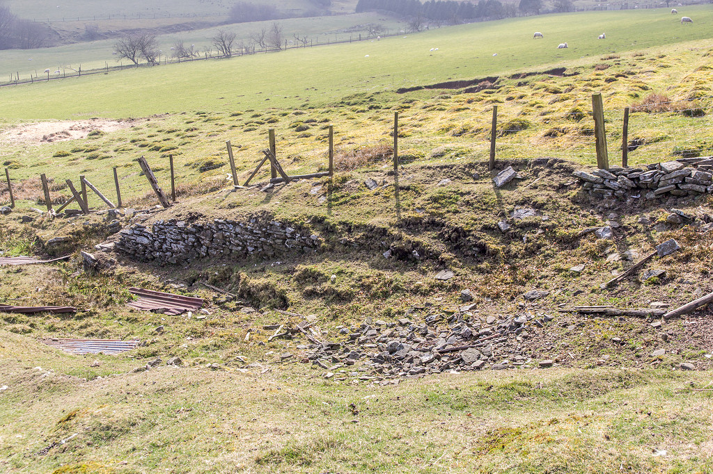
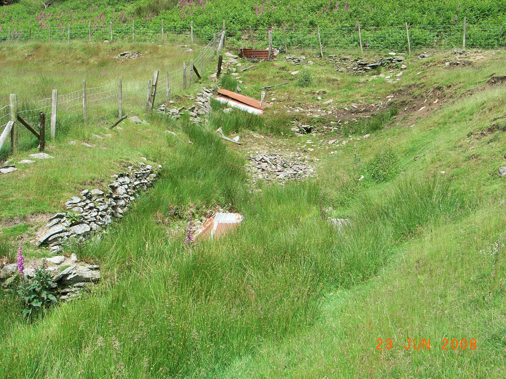
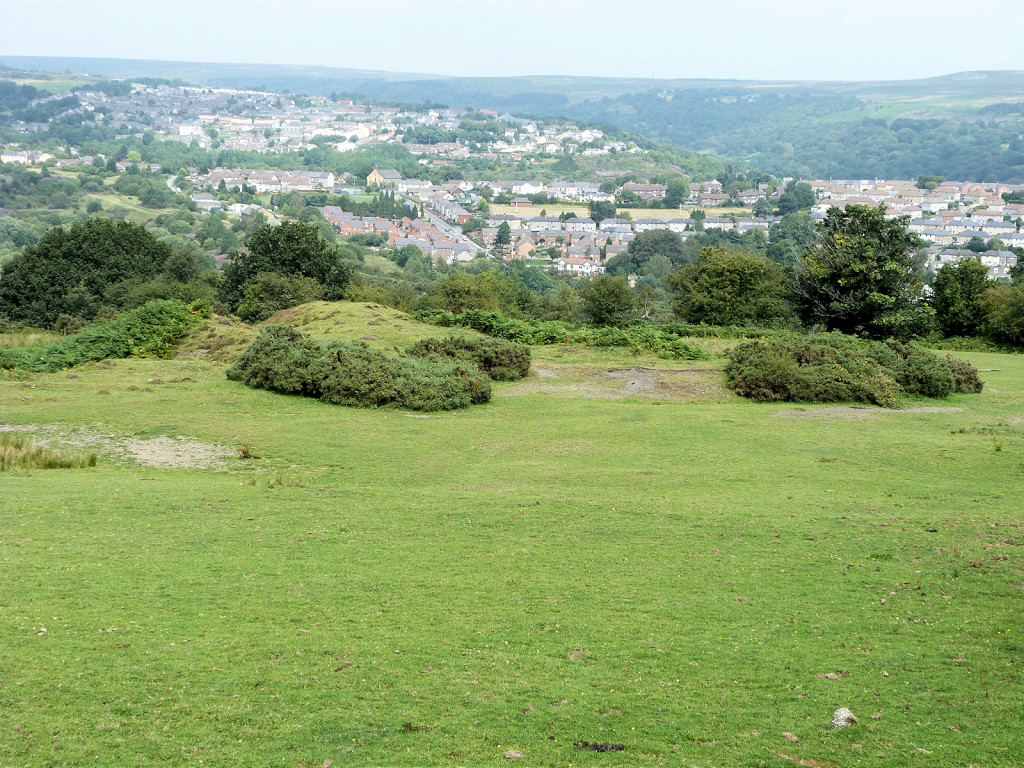 Pant Glas trial shaft |
 Pant Glas trial shaft |
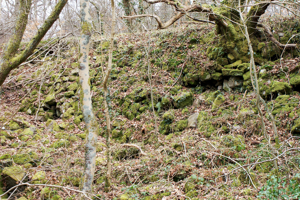
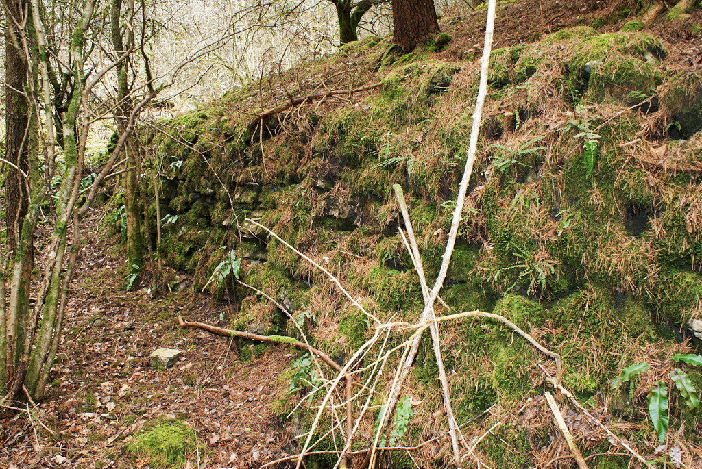
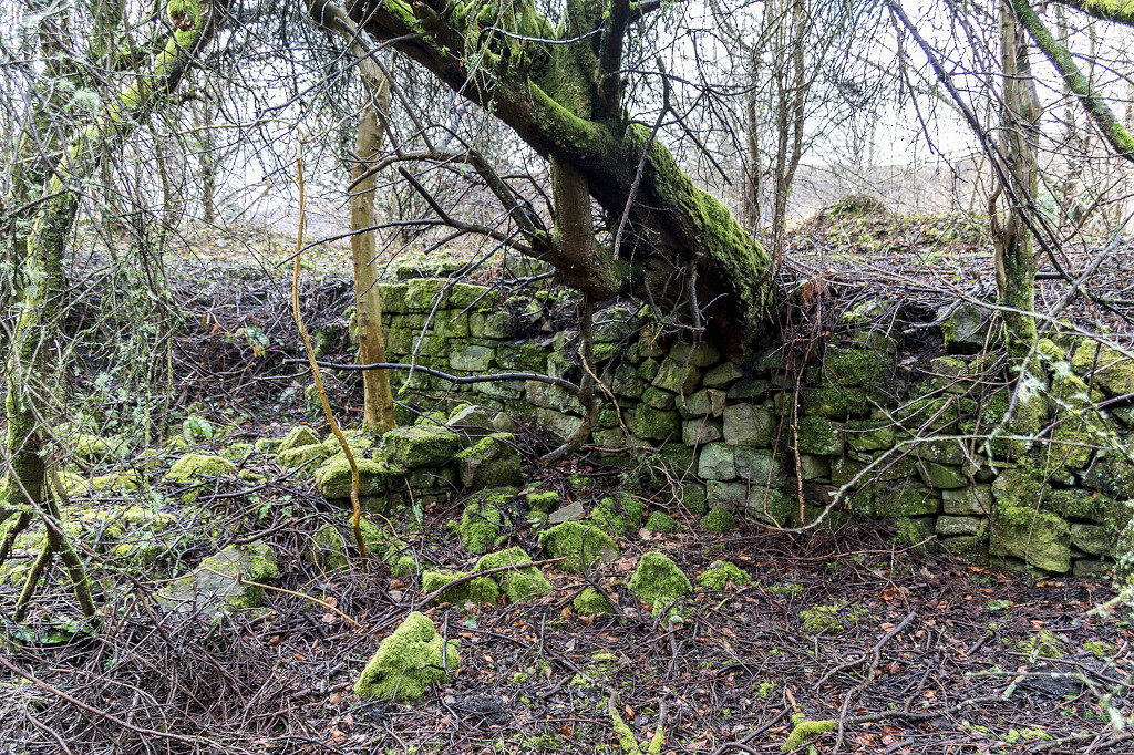
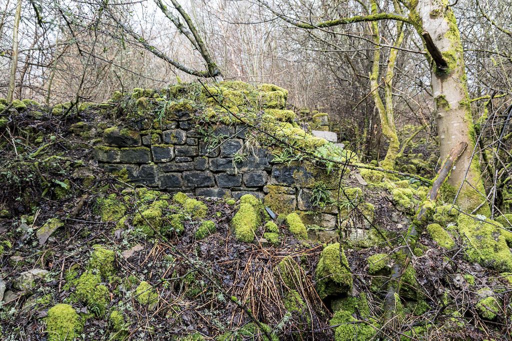
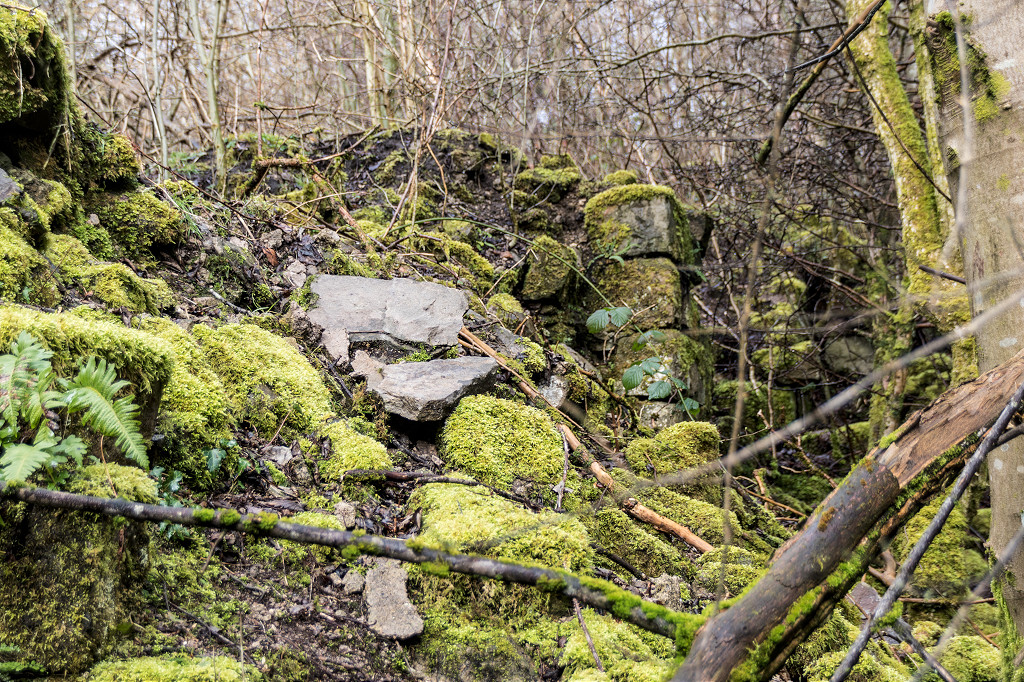
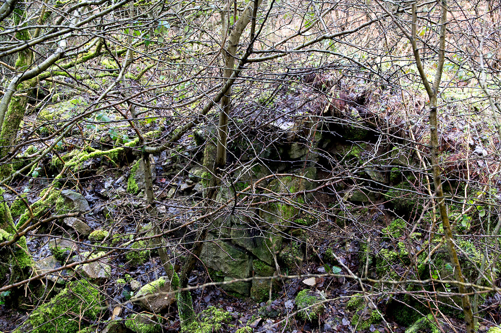
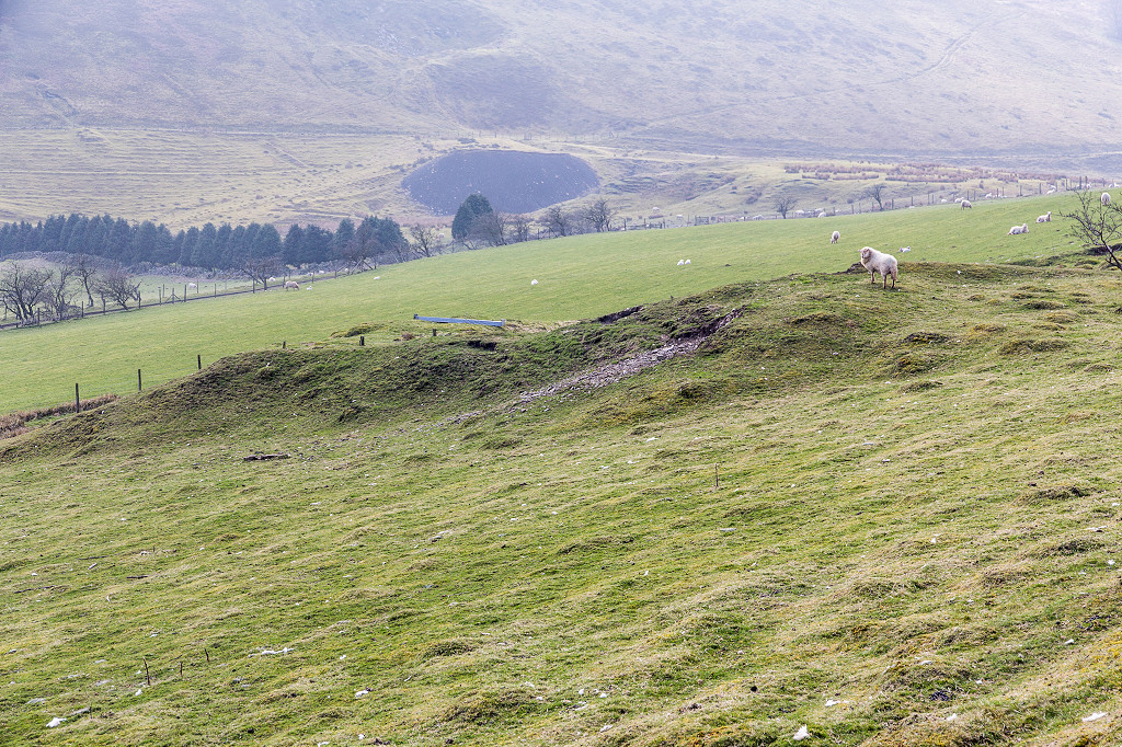
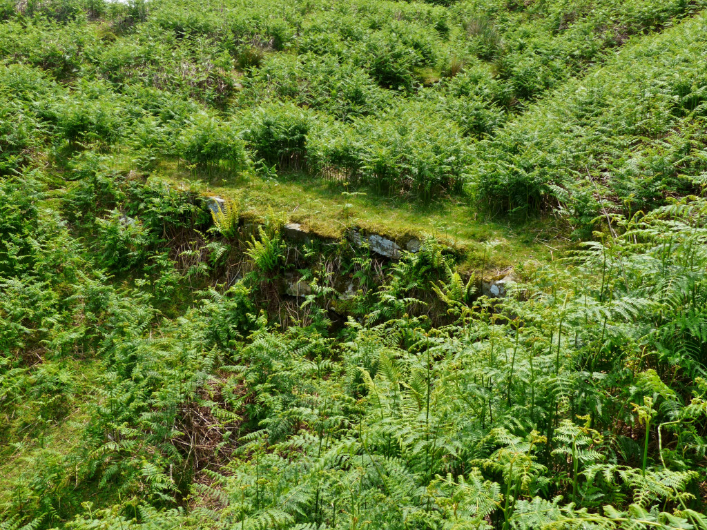 Stone embankment, Pant Glas |
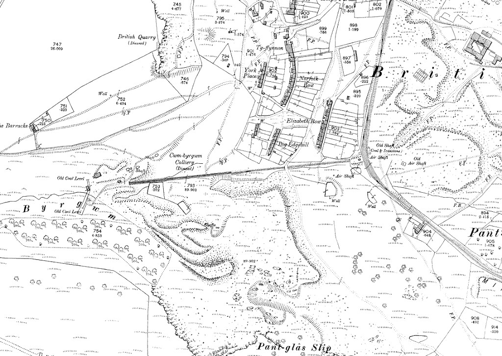 Cwmbyrgwm Colliery, 1901 |
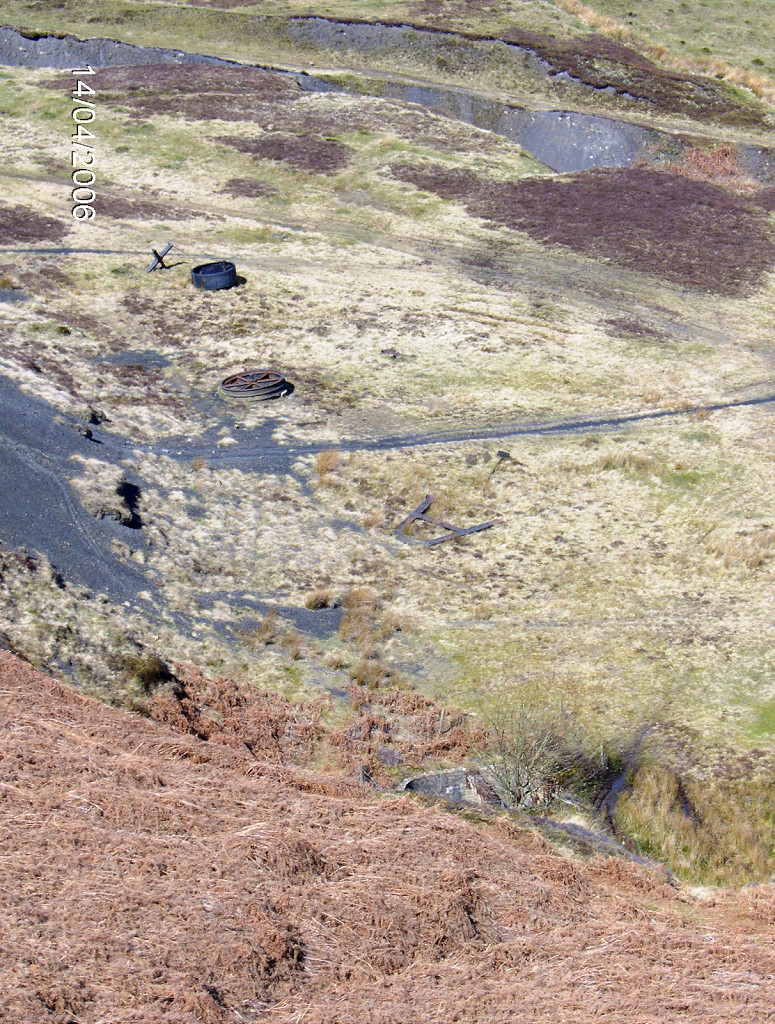
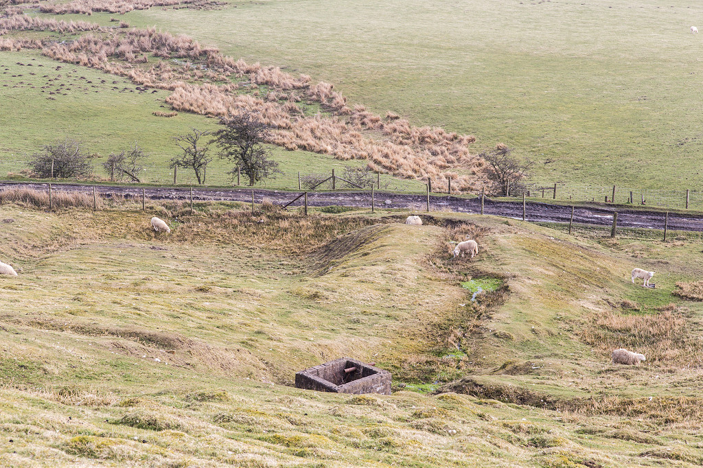
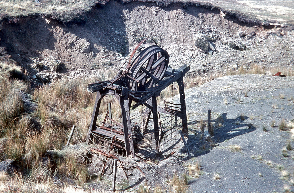 Cwmbyrgwm water balance |
 Cwmbyrgwm water balance shaft |
|
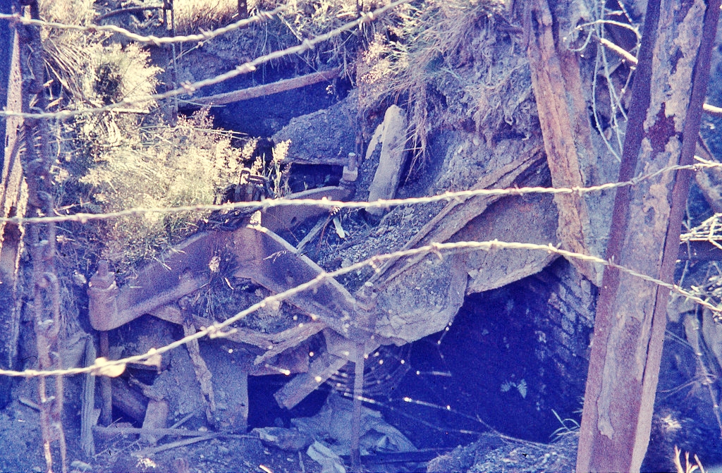
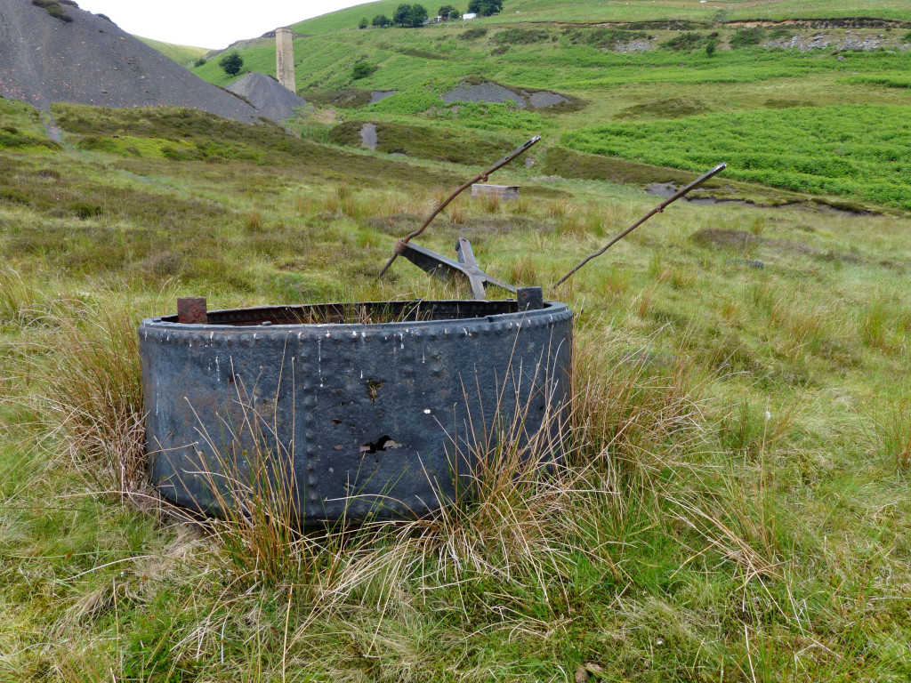
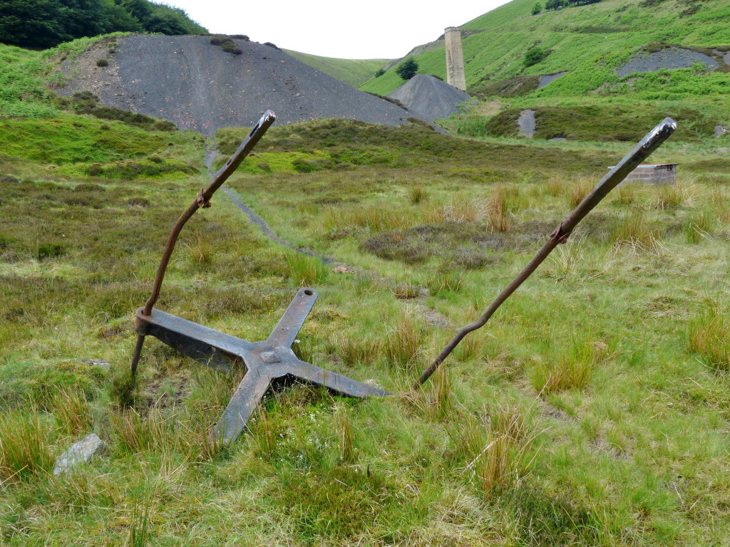
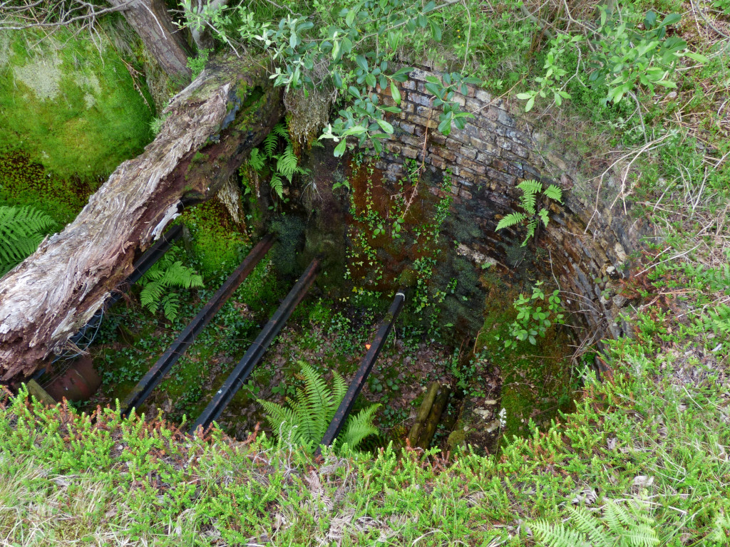 The Water Balance shaft |
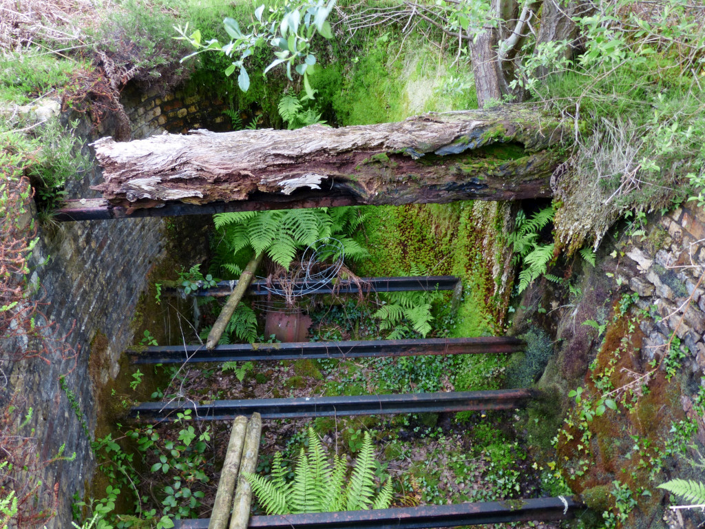 The Water Balance shaft |
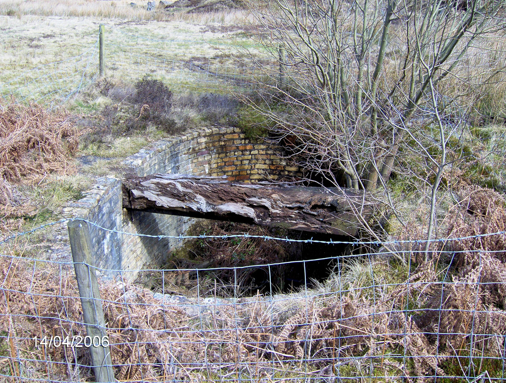 The Water Balance shaft |
 The Water Balance shaft |
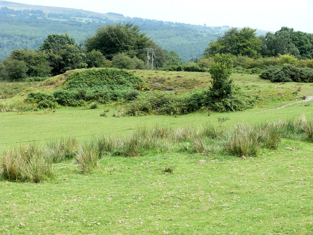
 Cwmbyrgwm Colliery |
 Cwmbyrgwm Colliery |
 Cwmbyrgwm Colliery |
 Cwmbyrgwm Colliery |
 Cwmbyrgwm Colliery |
 Cwmbyrgwm Colliery |
 Cwmbyrgwm Colliery |
|
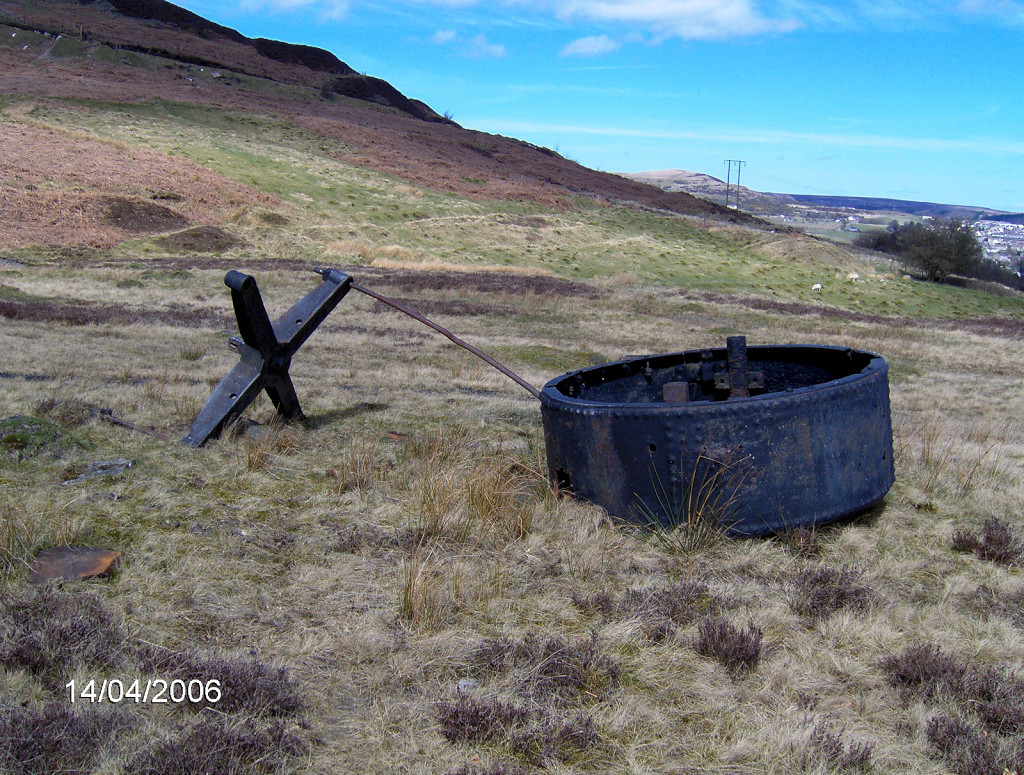 Parts of the Water Balance |
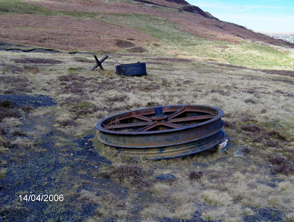 Parts of the Water Balance |
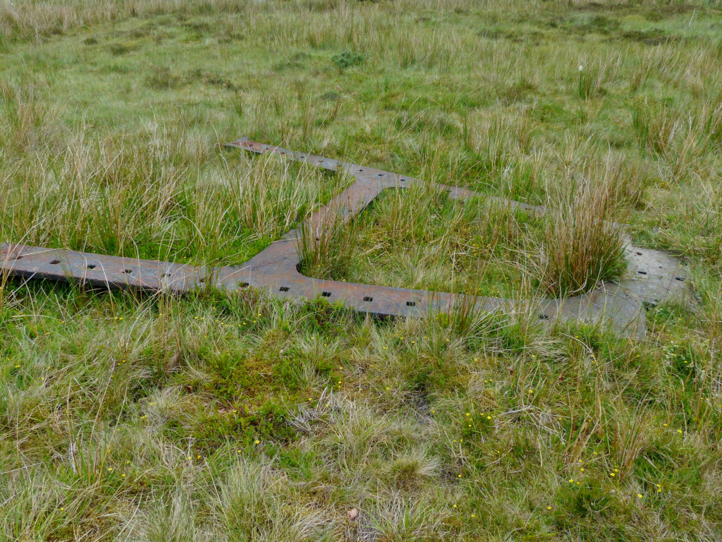 Parts of the Water Balance |
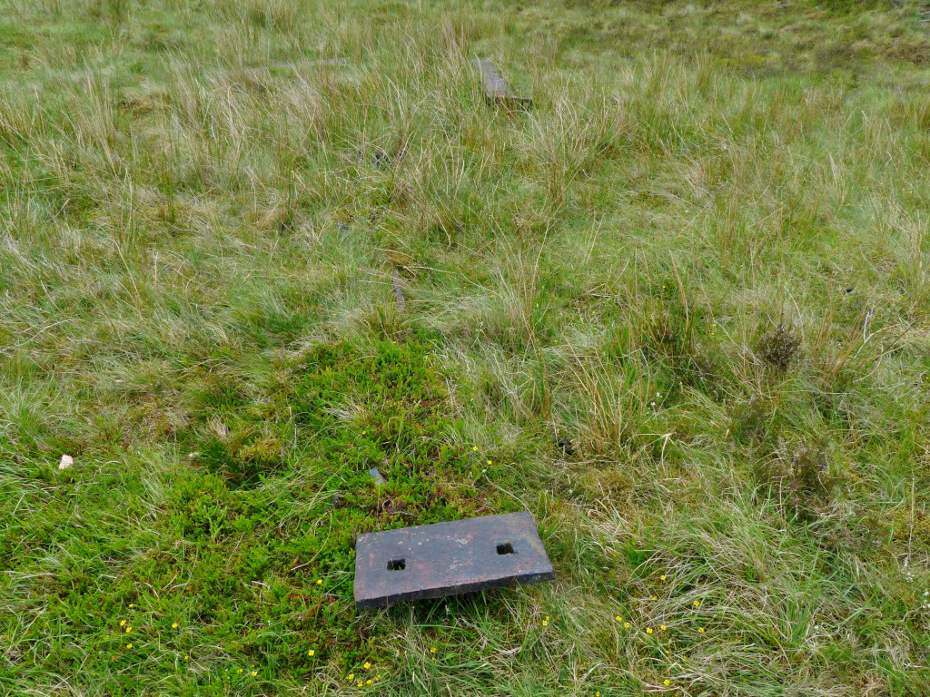 Parts of the Water Balance |
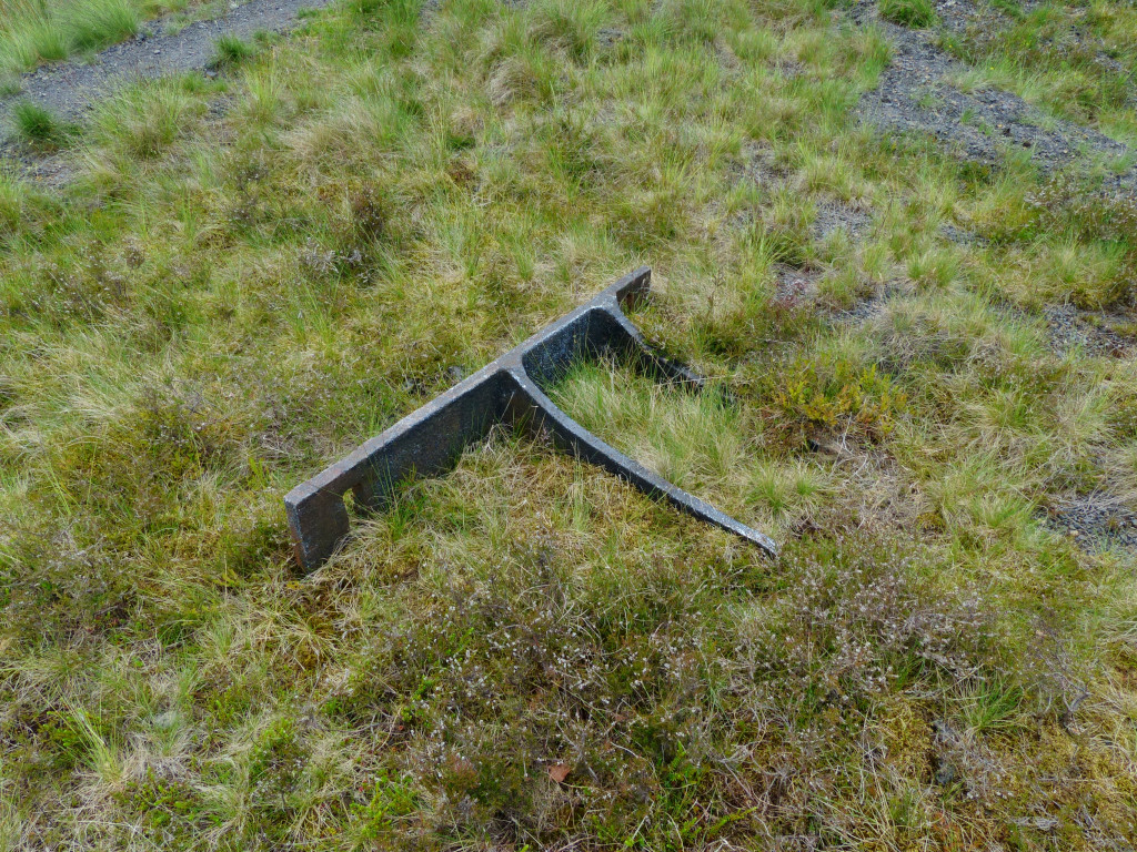 Parts of the Water Balance |
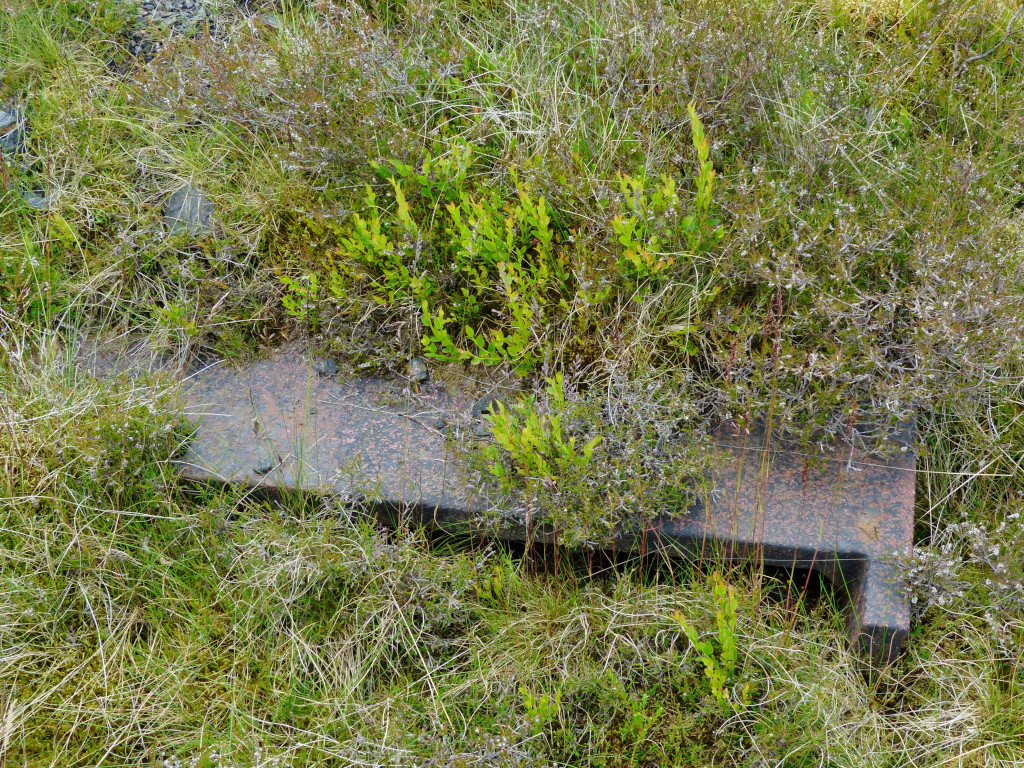 Parts of the Water Balance |
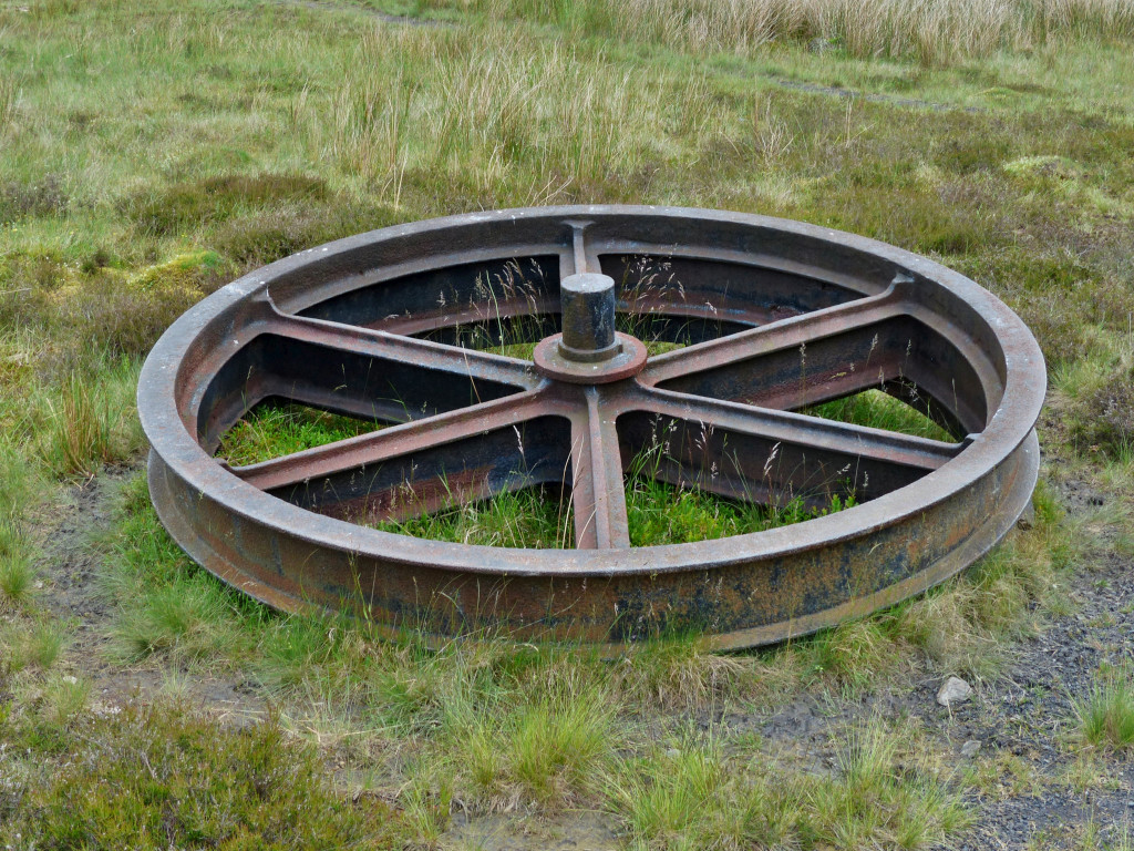 Parts of the Water Balance |
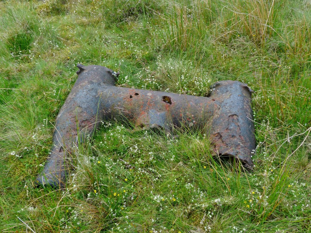 Parts of the Water Balance |
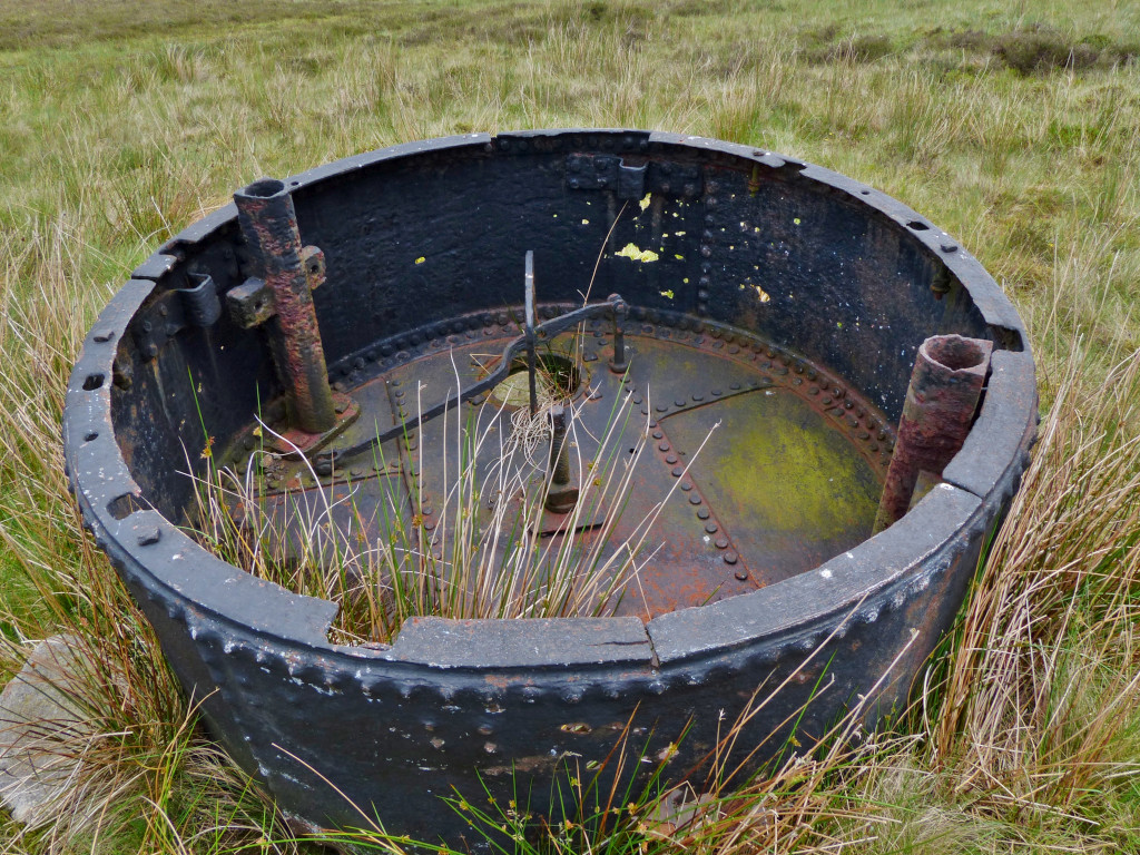 Parts of the Water Balance |
 Parts of the Water Balance |
 Parts of the Water Balance |
 Cwmbyrgwm Colliery |
 Cwmbyrgwm Colliery |
 Cwmbyrgwm Colliery |
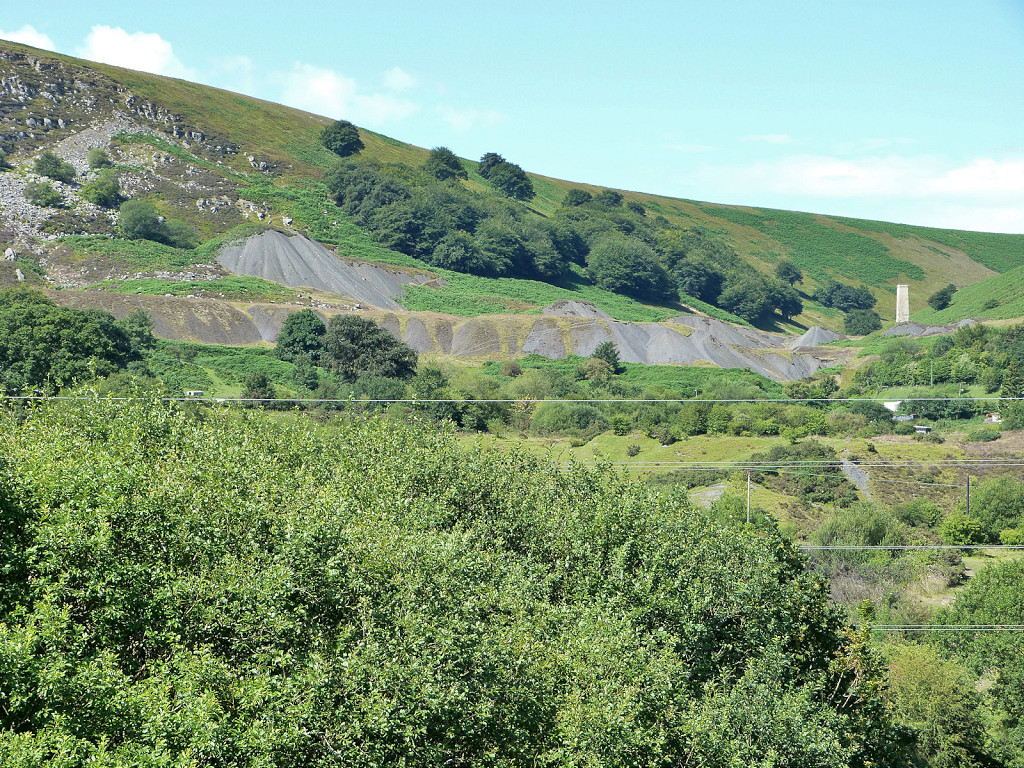
Cwmbyrgwm from The British |
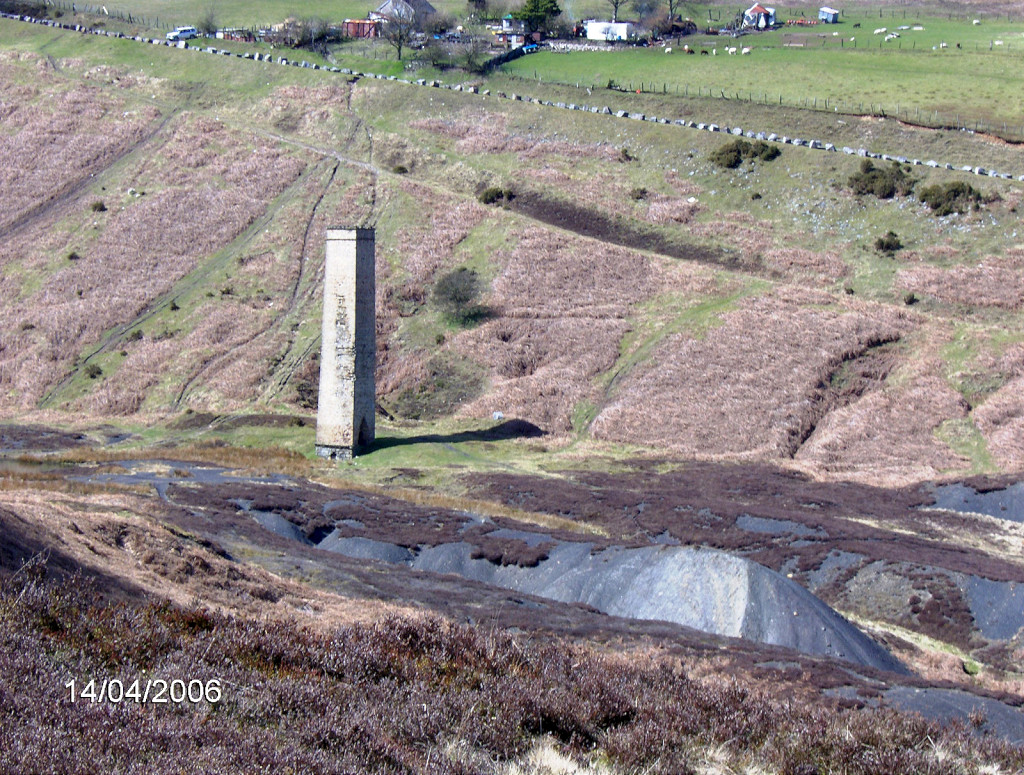
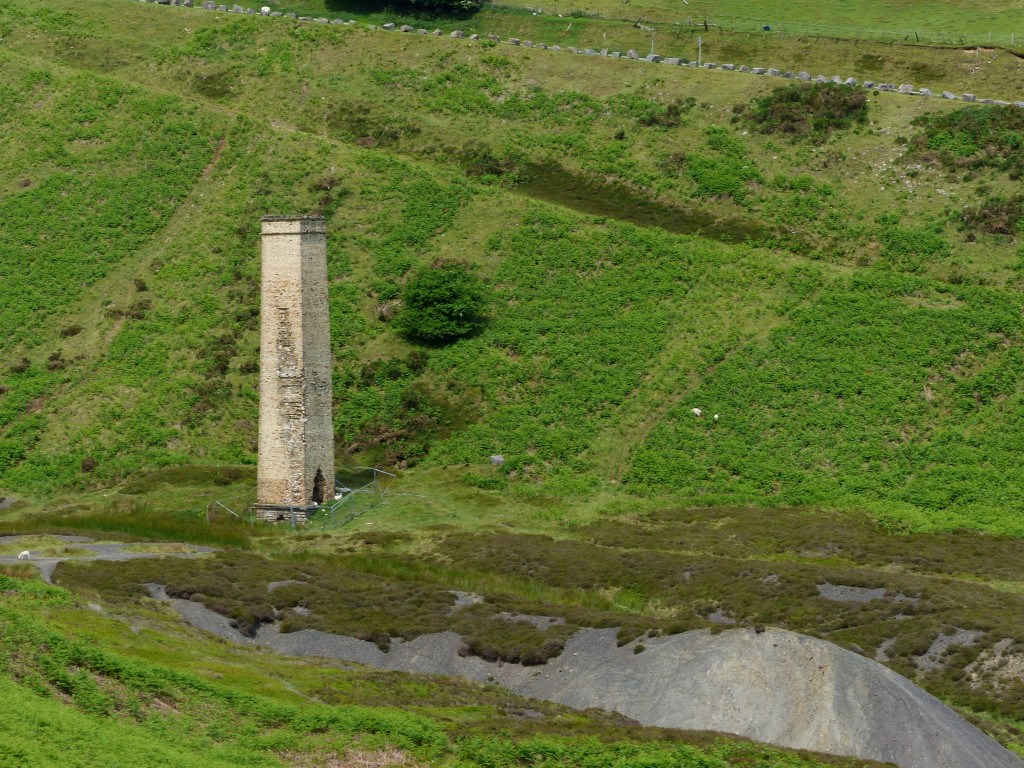
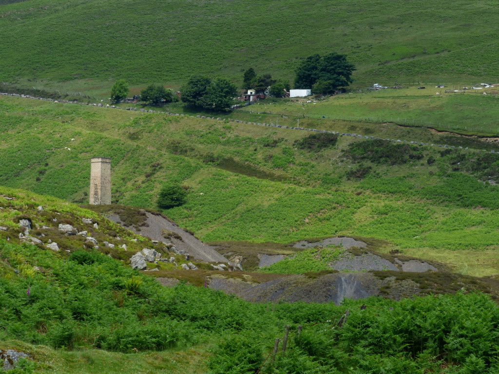
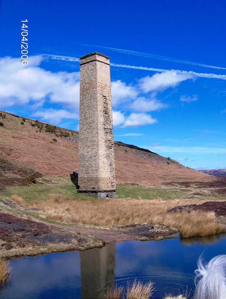 Cwmbyrgwm Colliery chimney |
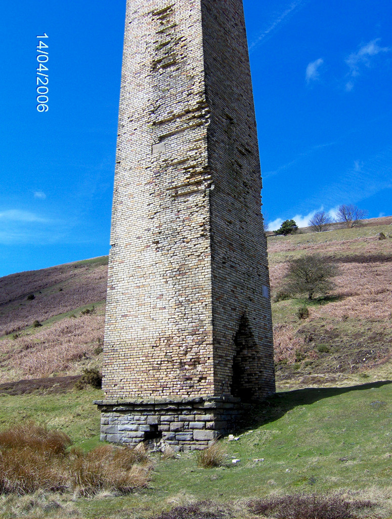 Cwmbyrgwm Colliery chimney |
 Cwmbyrgwm chimney flue |
 Cwmbyrgwm chimney flue |
 Cwmbyrgwm chimney flue |
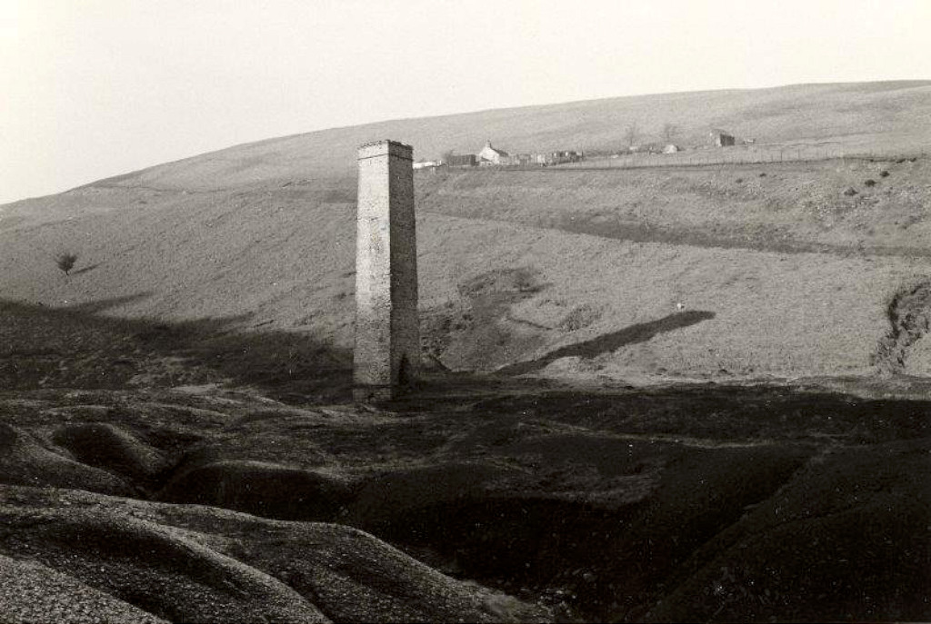 Cwmbyrgwm chimney, 1977 |
 Cwmbyrgwm '1881' level |
|
 Cwmbyrgwm '1881' level |
 Cwmbyrgwm '1881' level |
 Cwmbyrgwm '1881' level |
 Cwmbyrgwm '1881' level |
 Cwmbyrgwm '1881' level |
 Cwmbyrgwm '1881' level |
 Cwmbyrgwm '1881' level |
 Cwmbyrgwm '1881' level |
 Cwmbyrgwm Colliery South level |
 Cwmbyrgwm Colliery West shaft |
 Cwmbyrgwm Colliery West shaft |
 Cwmbyrgwm Colliery East shaft |
 Inclines to the tips |
 Cwmbyrgwm Colliery Upper tips |
||
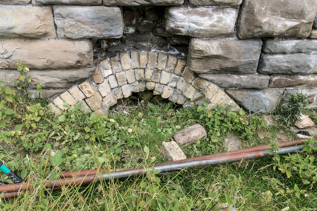
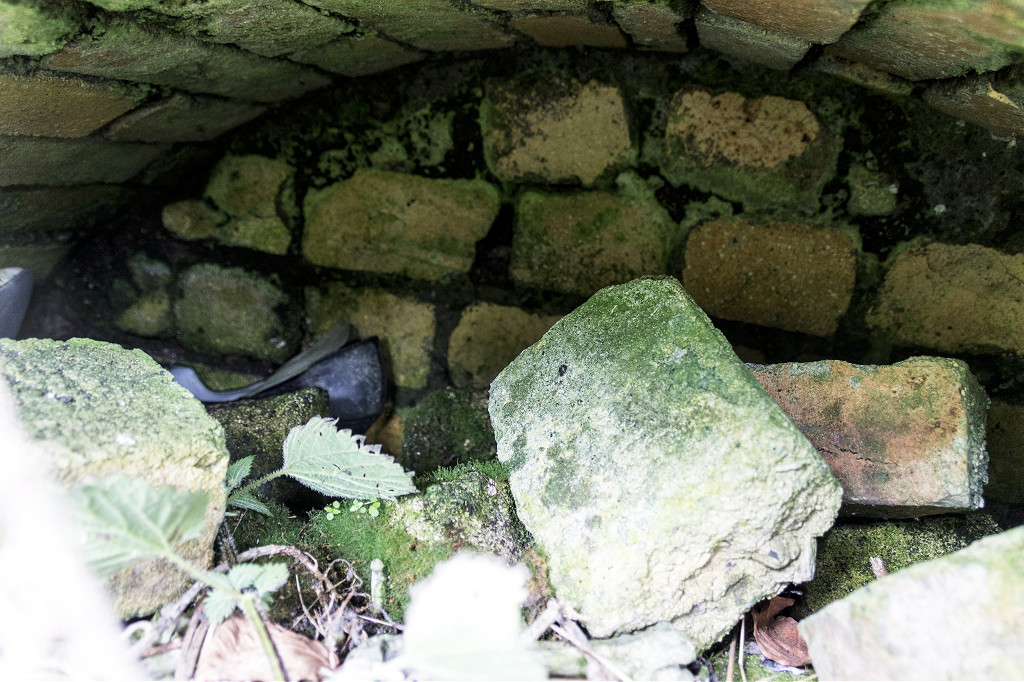
 Cwmbergwm culvert |
 Cwmbergwm culvert |
 Cwmbergwm culvert |
 Cwmbergwm culvert |
 Cwmbergwm culvert |
 Incline bridge under Elizabeth Row |
||
 Tramway to York Place level |
 Tramway to York Place level |
 York Place level tips |
 York Place level tips |
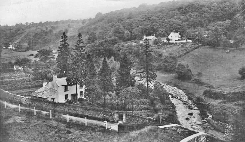
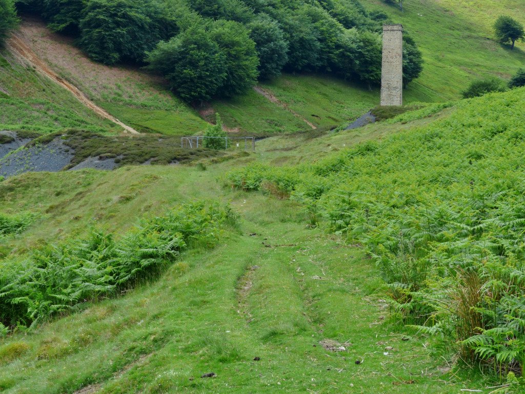
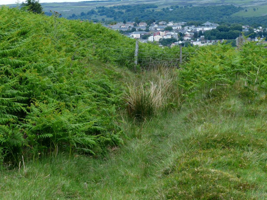
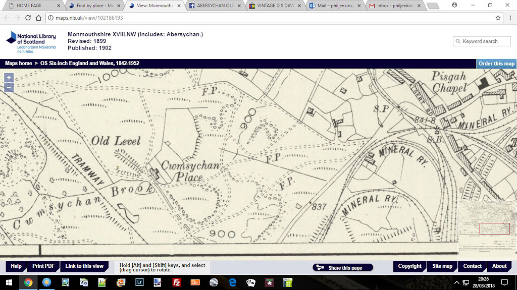 Cwmsychan Place, 1899 |
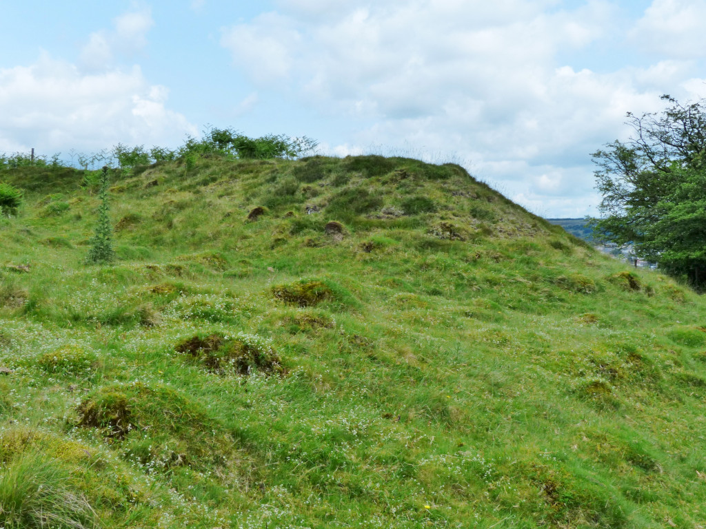
 Cwmsychan Place, Abersychan |
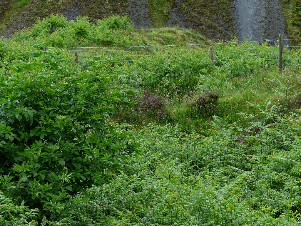
 Cwmsychan Place, Abersychan |
 Cwmsychan Place, Abersychan |
 Cwmsychan Place, Abersychan |
 Cwmsychan Place, Abersychan |
 Cwmsychan Place, Abersychan |
|
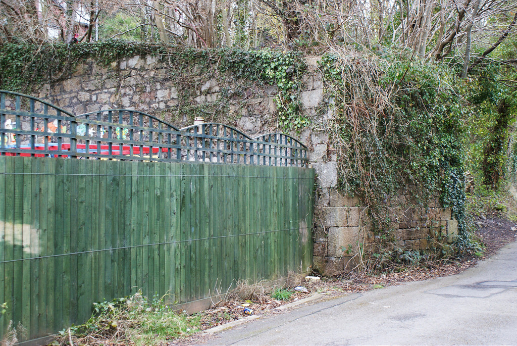
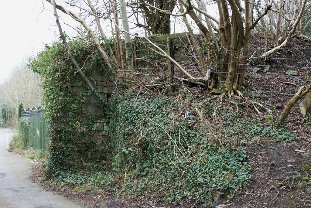
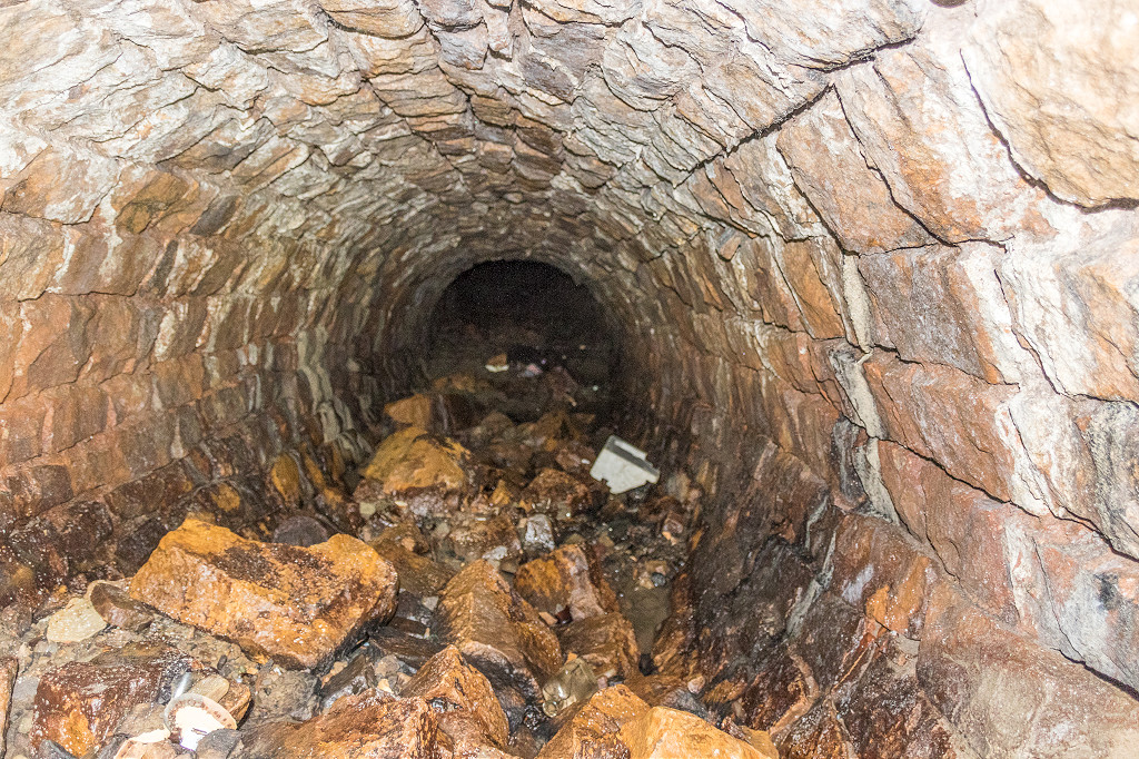
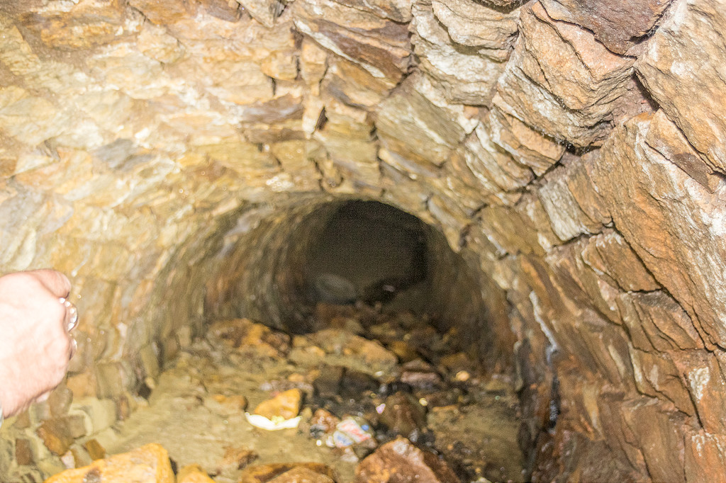
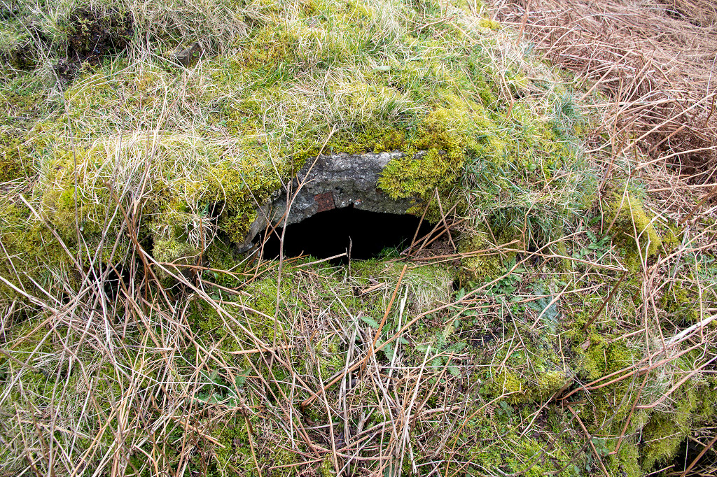
 Cwmsychan Place upper culvert |
 Cwmsychan Place upper culvert |
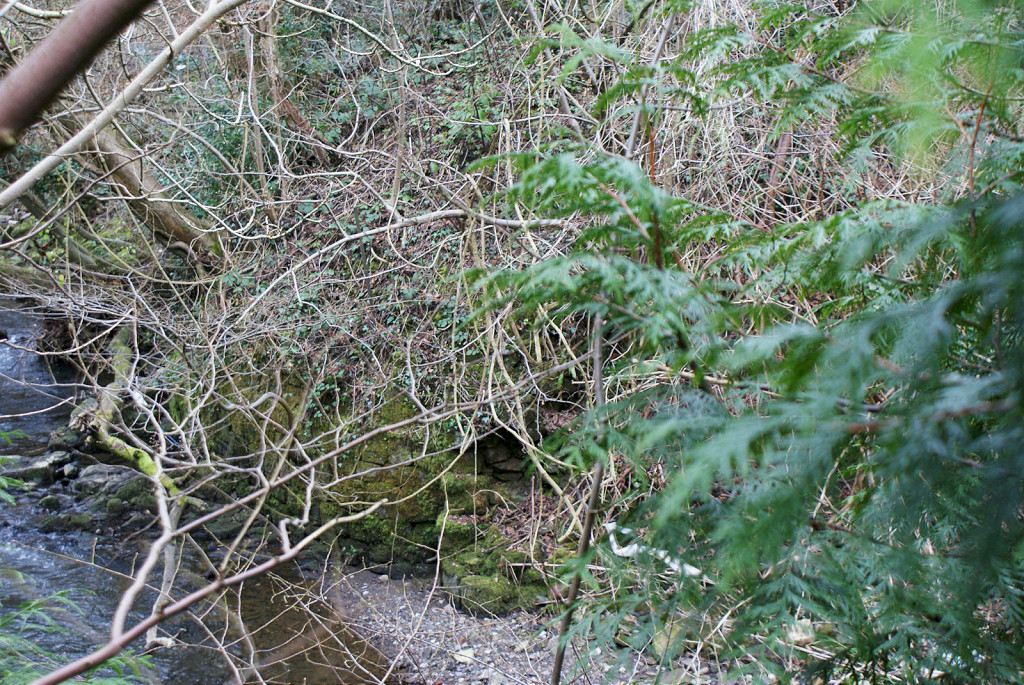
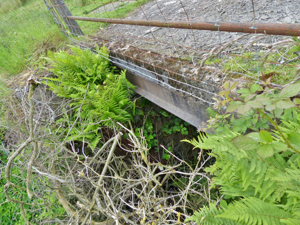
 Cwmsychan Place lower culvert |
 Colliery tramway, 1917 |
 Colliery tramway c1960 |
 Cwmsychan Colliery tramway |
 Cwmsychan Colliery tramway |
|
Cwmsychan Colliery tramway |
 Cwmsychan Colliery tramway |
 Cwmsychan Colliery tramway |
 Colliery tramway culvert |
 Colliery tramway culvert |
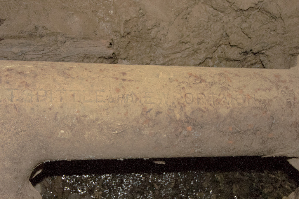
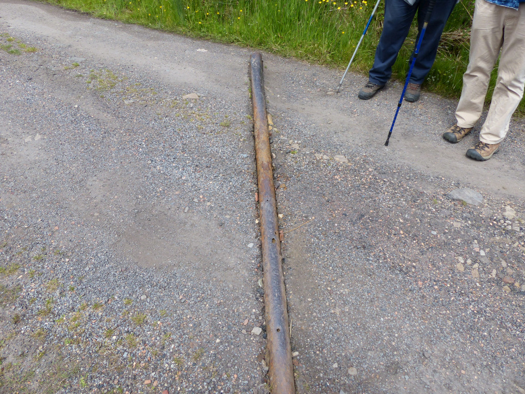 Cast iron pipe on access lane |
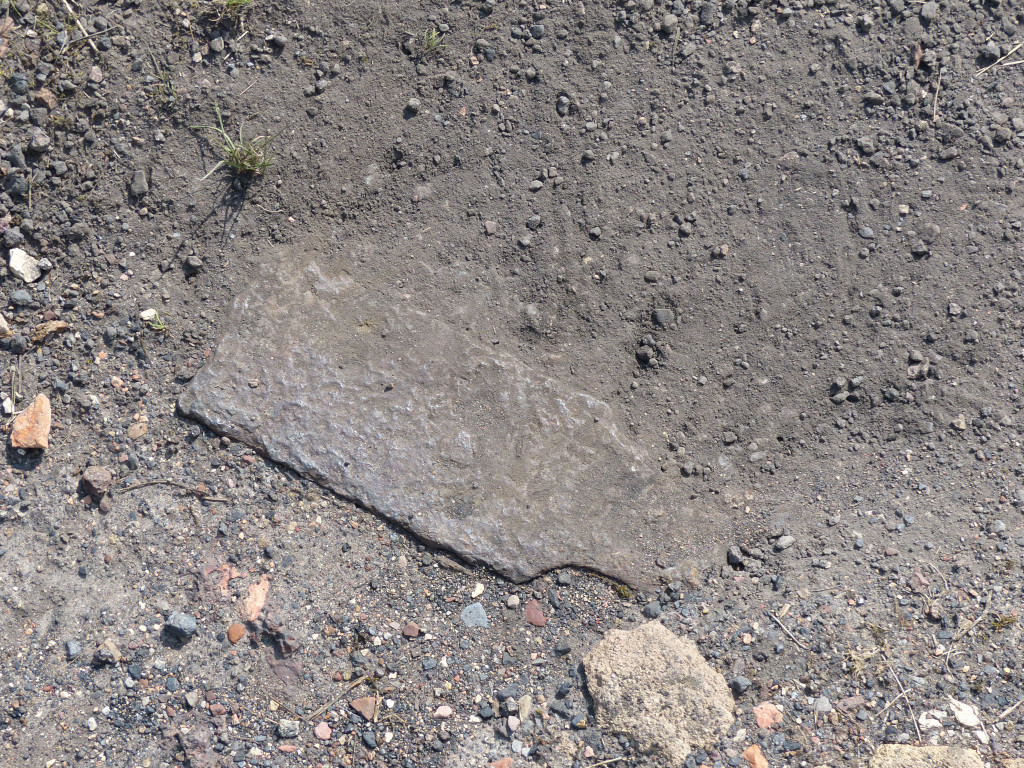
 Cwmsychan Colliery tramplate |
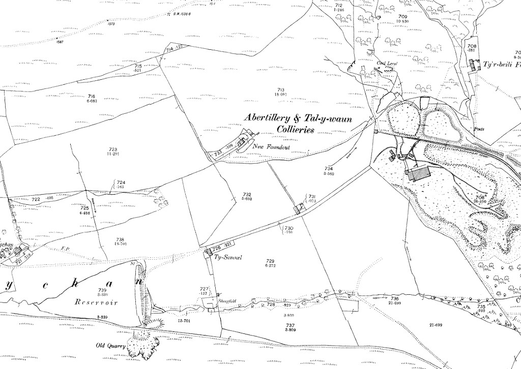
 Cwmsychan Colliery, 1880 |
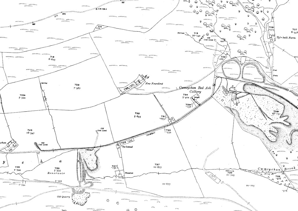
 Cwmsychan Colliery, 1901 |
 Cwmsychan Colliery, 1920 |
|
 Cwmsychan Red Ash Colliery |
 Cwmsychan Red Ash Colliery |
 Cwmsychan Red Ash Colliery |
 Cwmsychan Red Ash Colliery |
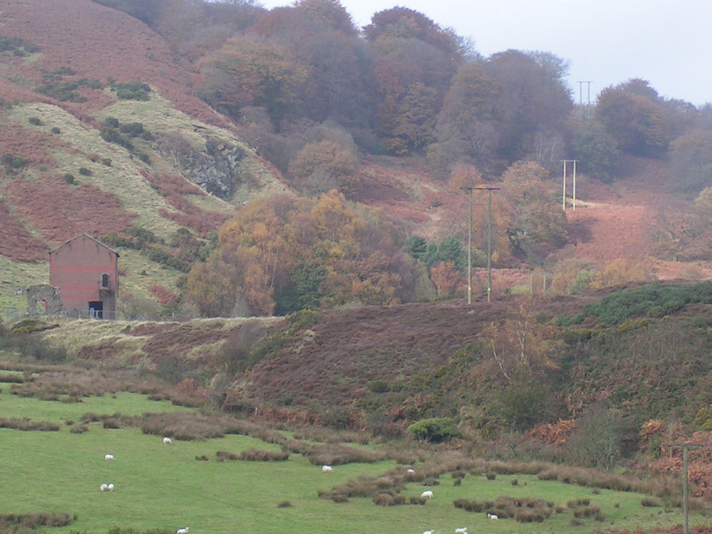
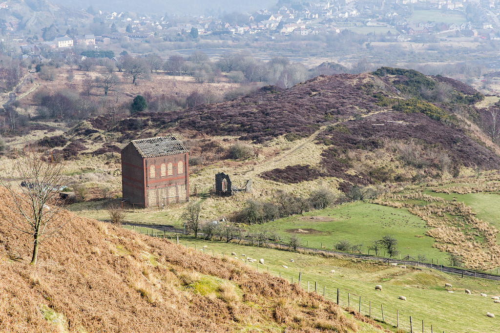
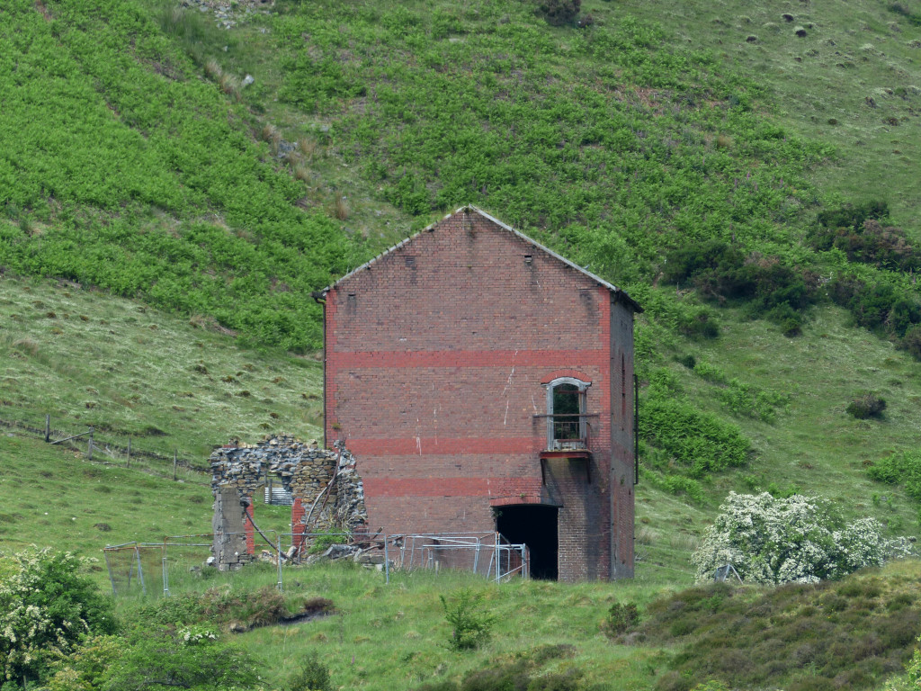
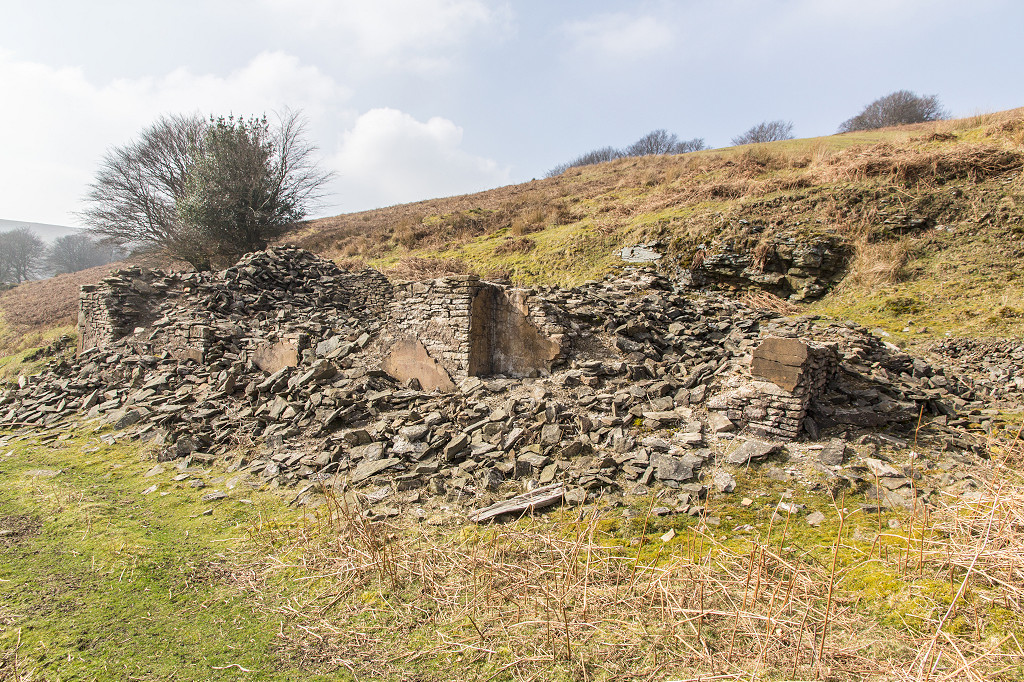
 Cwmsychan Colliery engine house |
 Cwmsychan Colliery engine house |
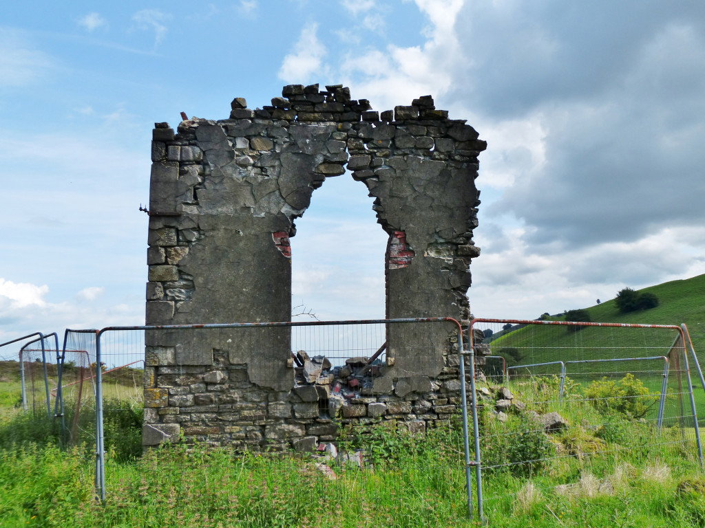
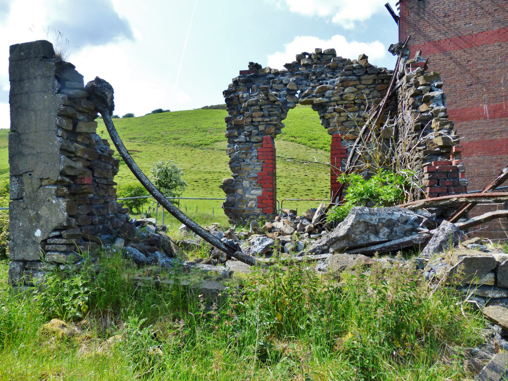
 Cwmsychan Colliery engine house |
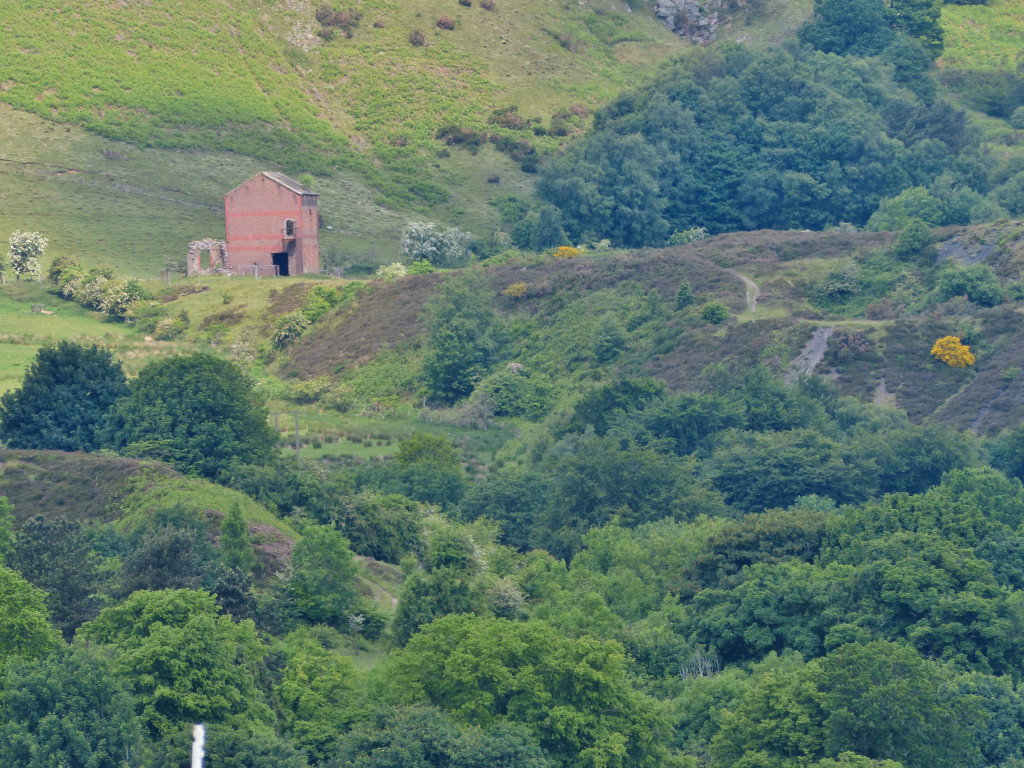
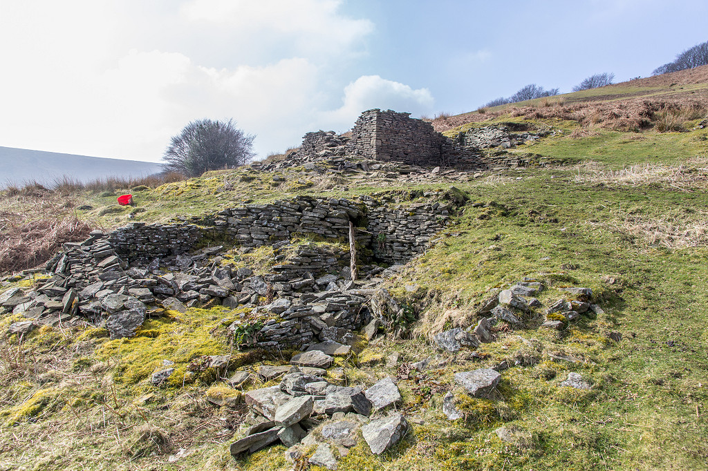
 Cwmsychan Colliery engine house |
 Cwmsychan Colliery engine house |
 Cwmsychan Colliery engine house |
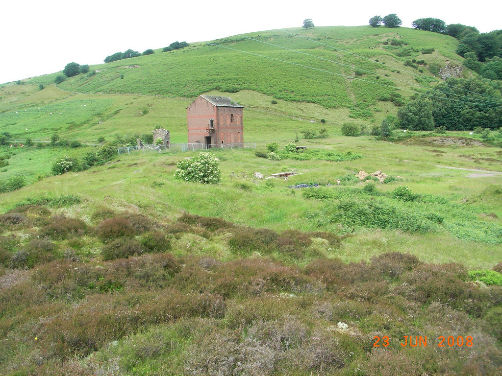
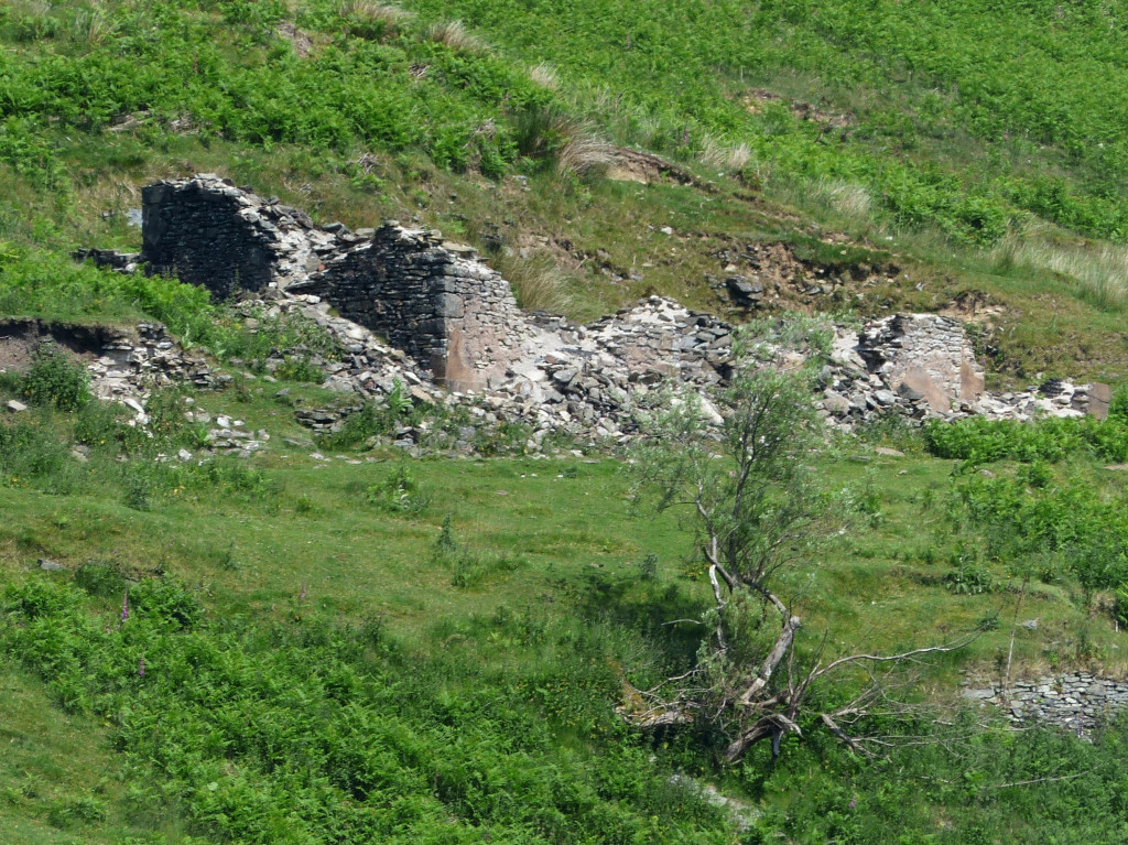
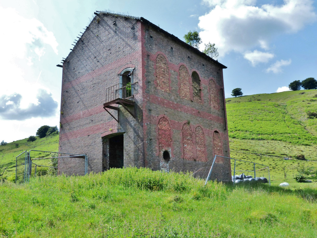 Cwmsychan Colliery engine house |
 Cwmsychan Colliery engine house |
 Cwmsychan Colliery engine house |
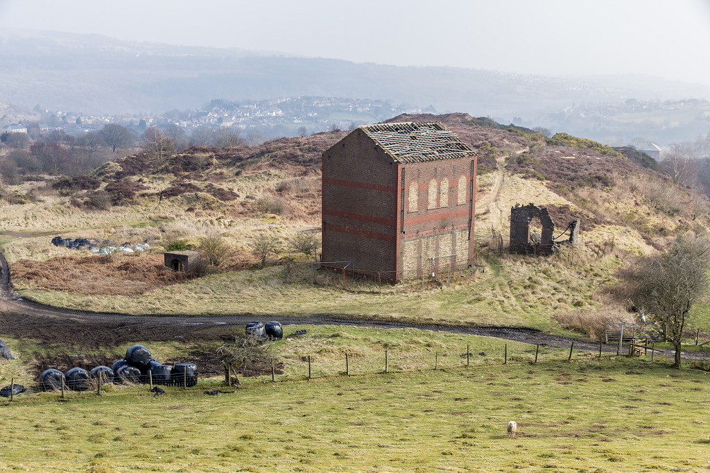
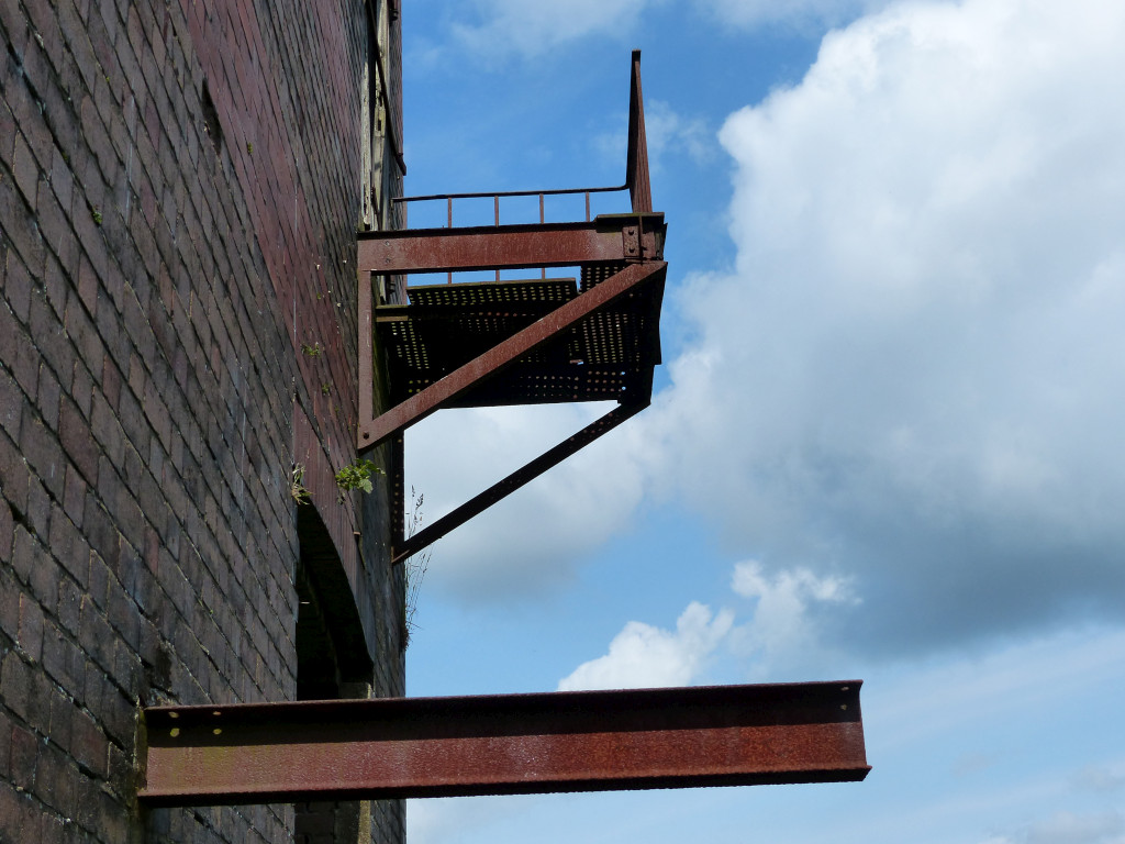 Cwmsychan Colliery engine house |
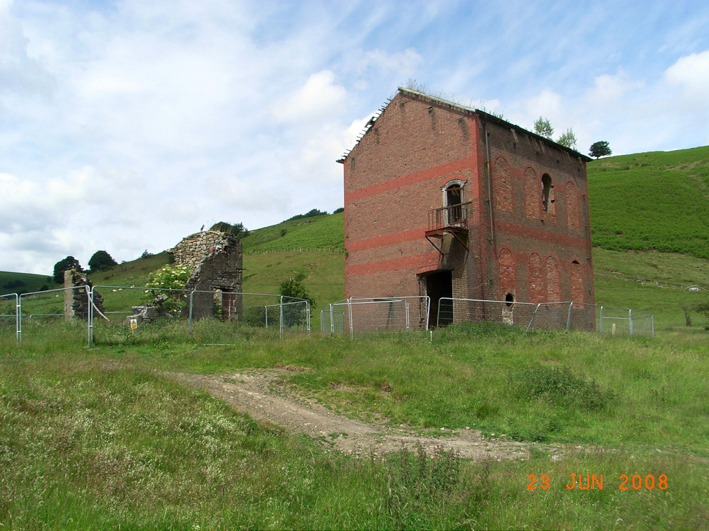 Cwmsychan Colliery engine house |
 Upcast shaft fanhouse |
 Upcast shaft fanhouse |
 Upcast shaft fanhouse |
 Cwmsychan Colliery upcast shaft |
 Cwmsychan Colliery upcast shaft |
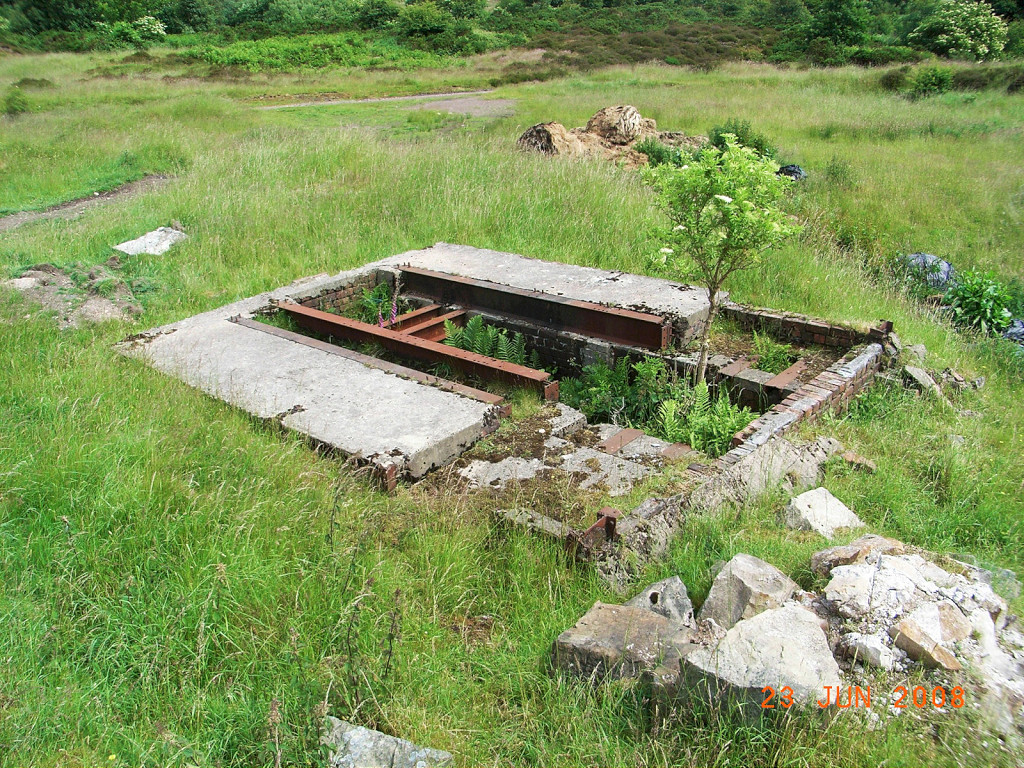
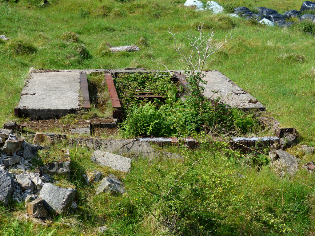
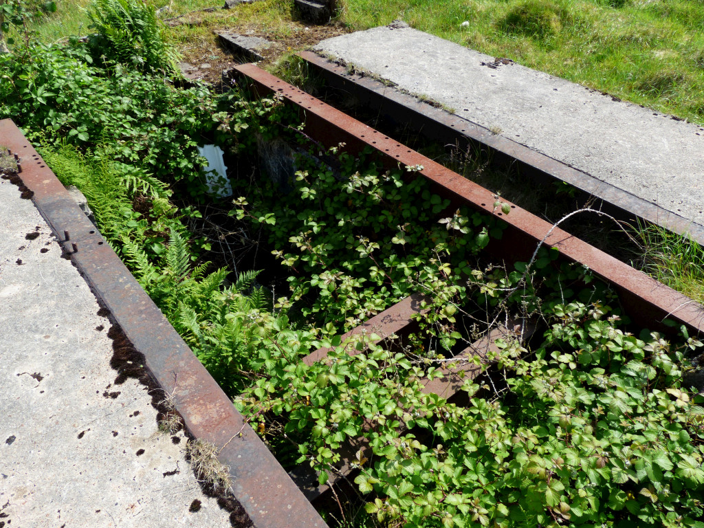
 Upcast shaft engine base |
 Upcast shaft engine base |
 Fan housing possibly |
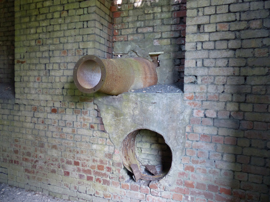
 Cwmsychan Colliery ironmongery |
 Cwmsychan Colliery ironmongery |
 Cwmsychan Colliery ironmongery |
 Cwmsychan Colliery ironmongery |
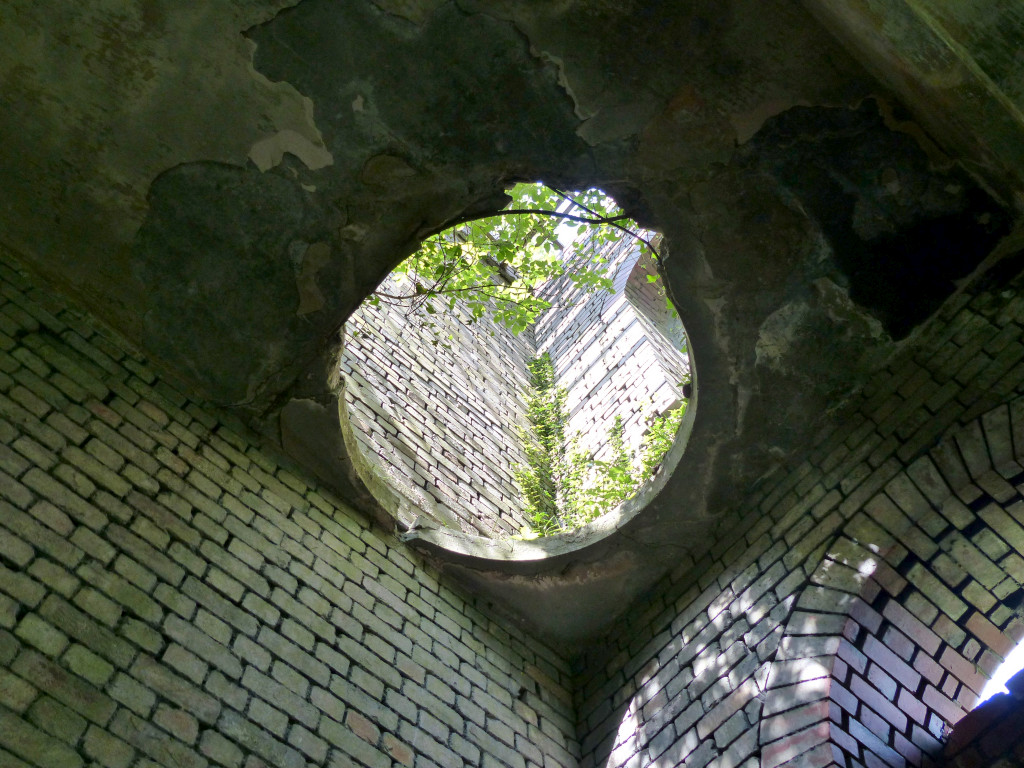
 Colliery ventilation ducts |
 Colliery ventilation ducts |
 Colliery ventilation ducts |
 Colliery ventilation ducts |
 Colliery ventilation ducts |
 Colliery ventilation ducts |
 Colliery ventilation ducts |
 Colliery ventilation ducts |
 Cwmsychan Colliery reservoir |
 Cwmsychan Colliery reservoir inlet |
 Cwmsychan Colliery reservoir |
 Tramway towards the dam |
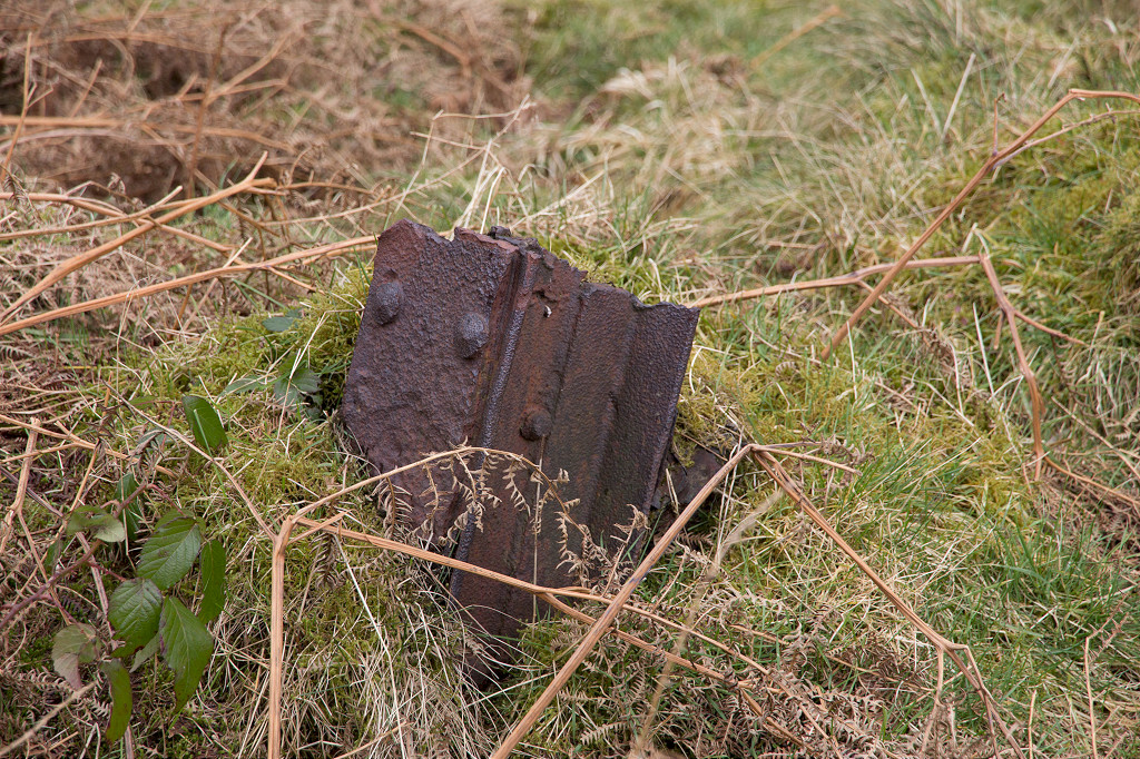
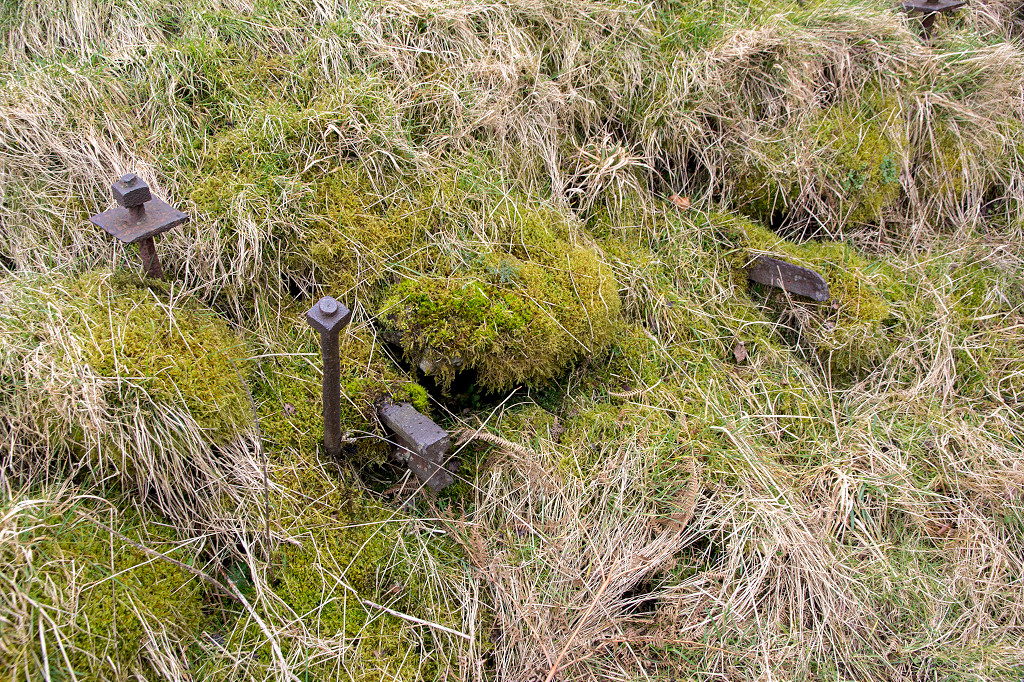
 Dam tramroad sleeper |
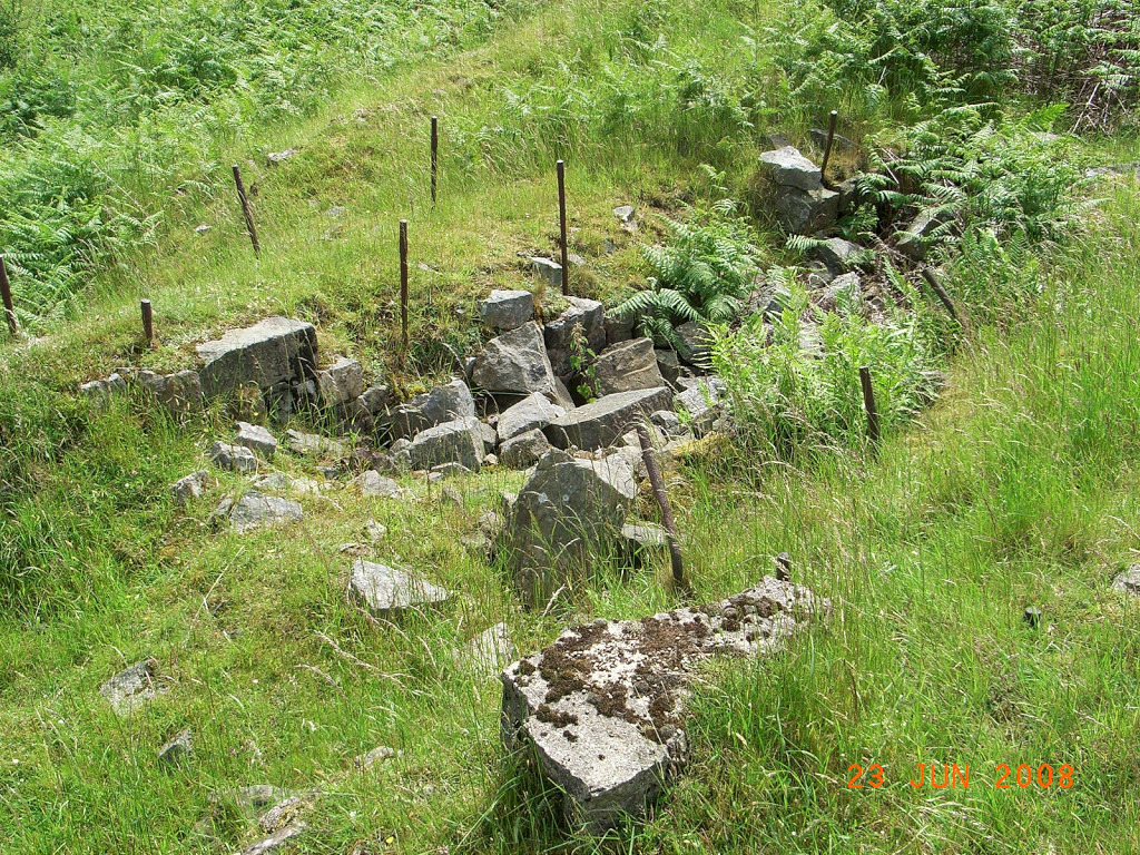
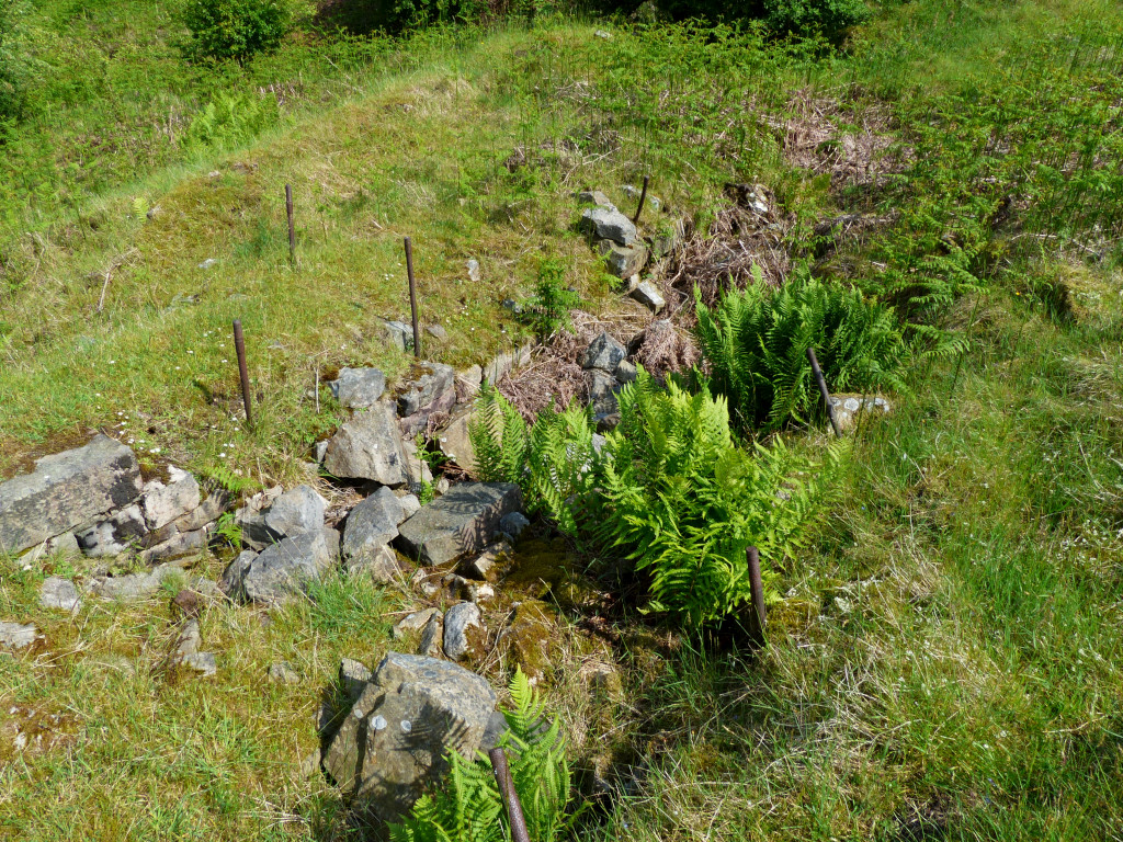
 Level 1 between colliery and dam |
|
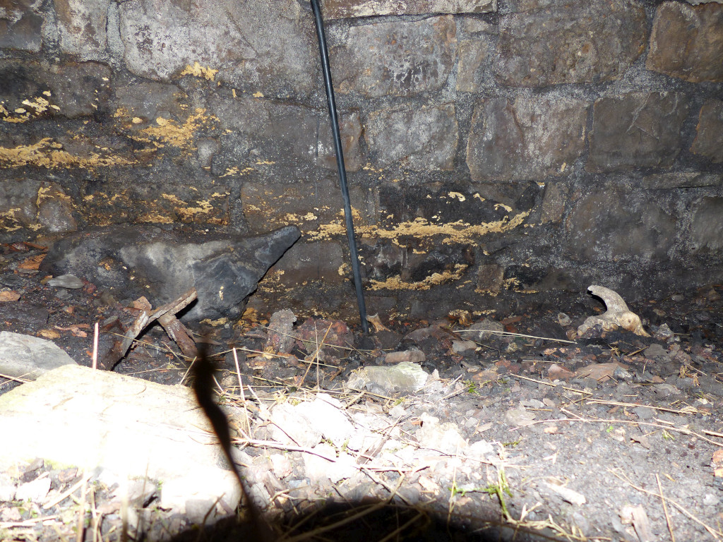
 Level 2 between colliery and dam |
 Level 2 between colliery and dam, March 2015 |
 Level 2 between colliery and dam |
 Level 2 between colliery and dam |
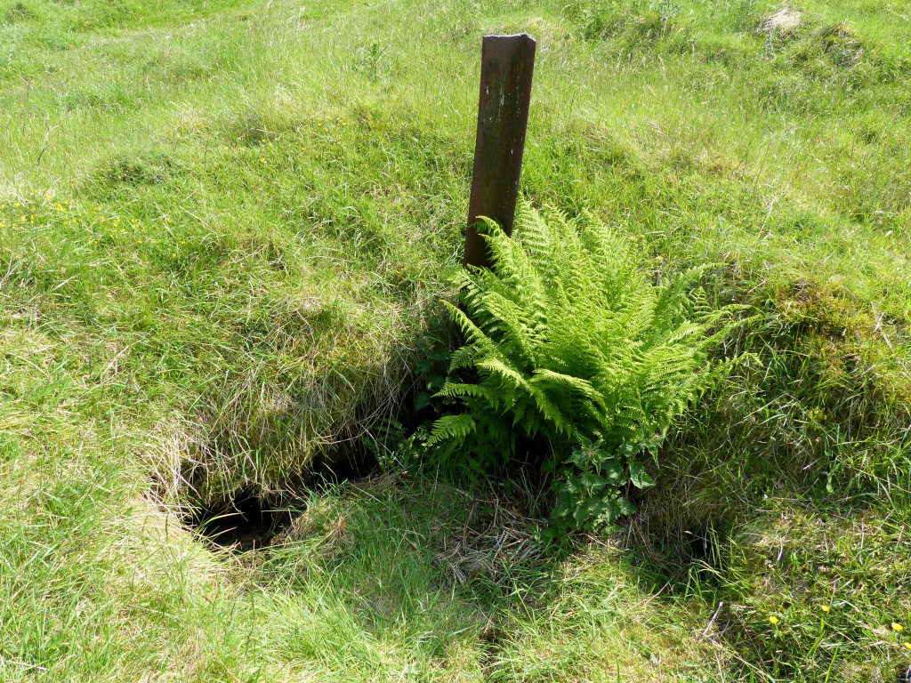
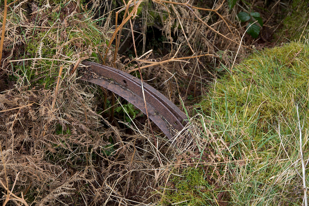
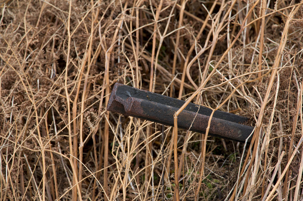
 Old rail fencepost beside leat |
 Quarry opposite Colliery |
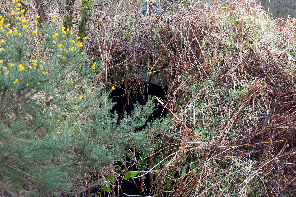
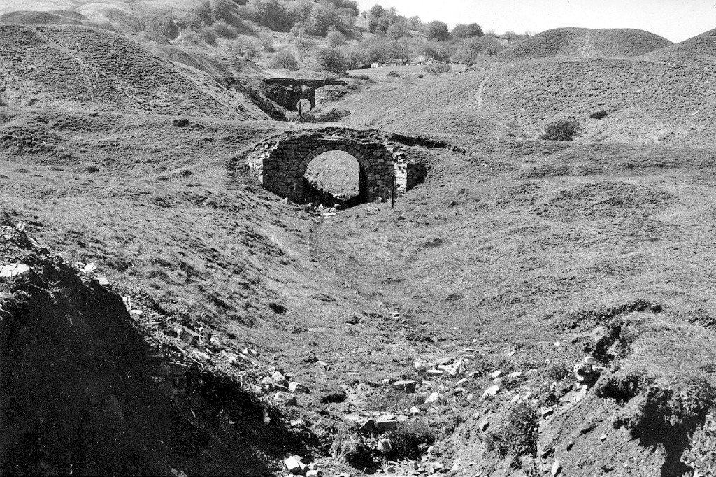
 The British Ironworks dam |
 The British Ironworks dam |
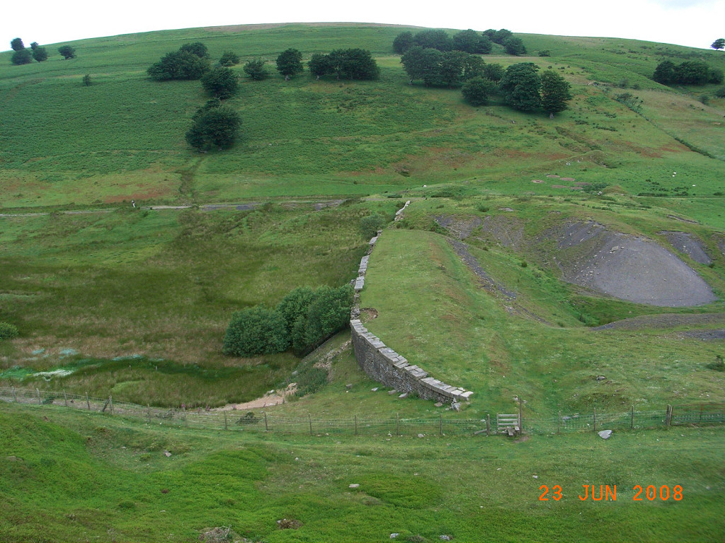 The British Ironworks dam |
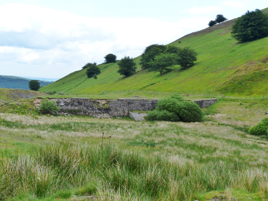 The British Ironworks dam |
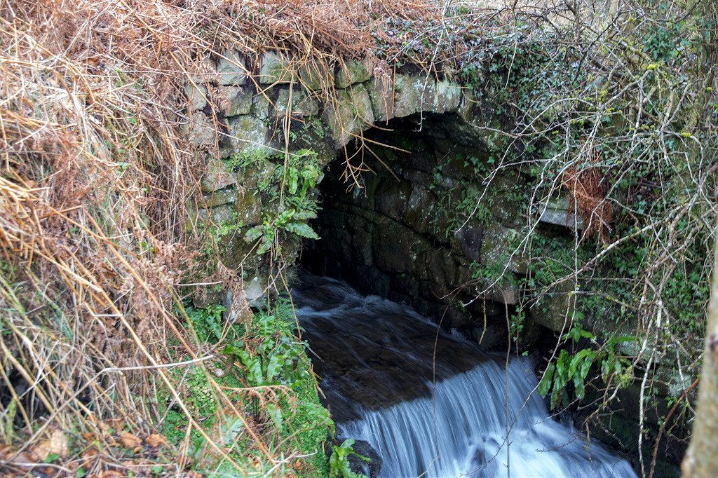
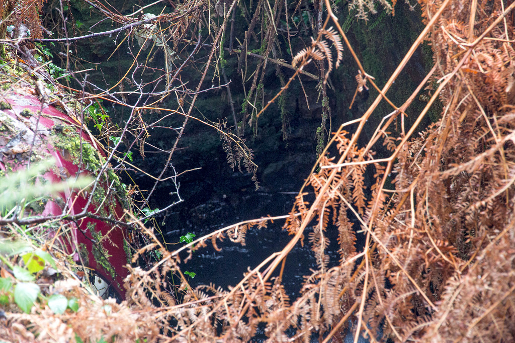
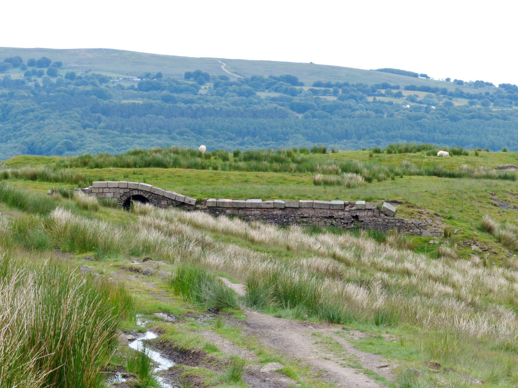 The British Ironworks dam outlet |
 The British Ironworks dam outlet |
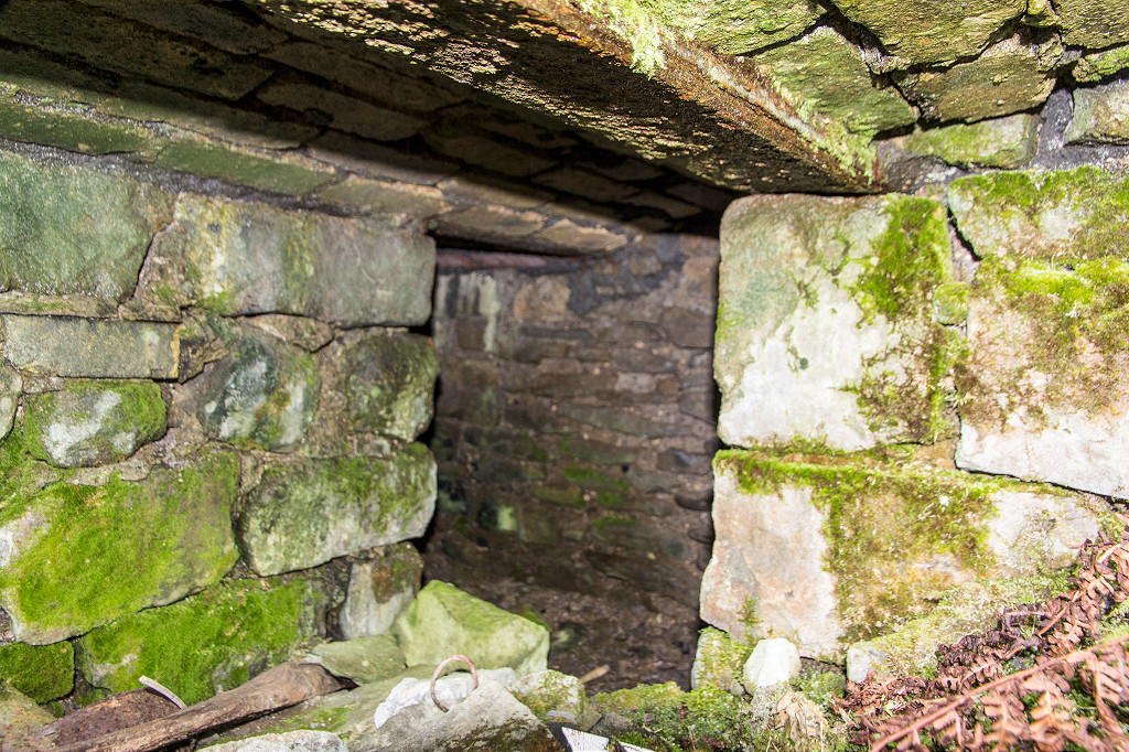
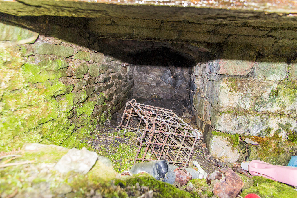
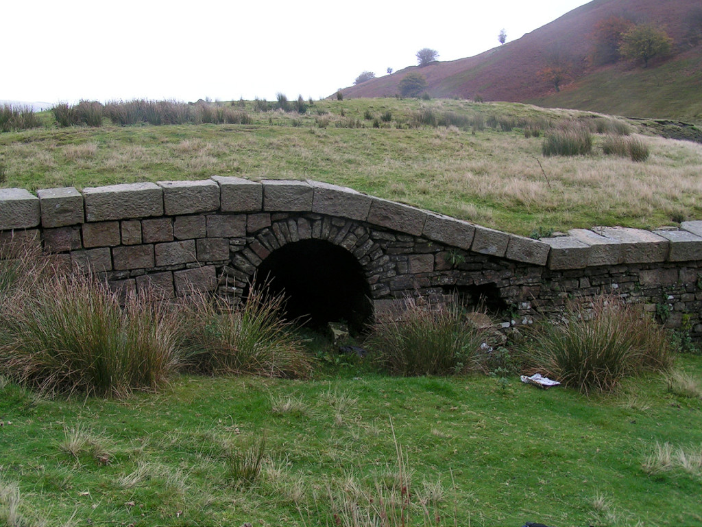
 The British dam outlet interior |
 The British dam outlet interior |
 The British dam outlet interior |
 The British dam outlet interior |
 Level South of ironworks dam |
 Level South of ironworks dam |
 Level South of ironworks dam |
 Level South of ironworks dam |
 Level South of ironworks dam |
 Level South of ironworks dam |
 Level South of ironworks dam |
 Level South of ironworks dam |
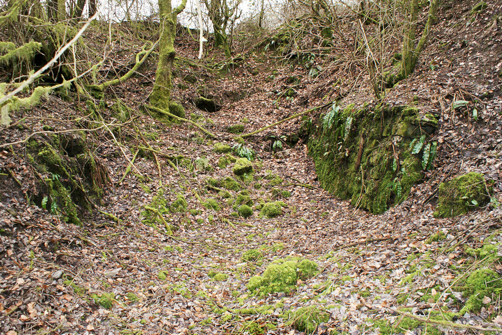
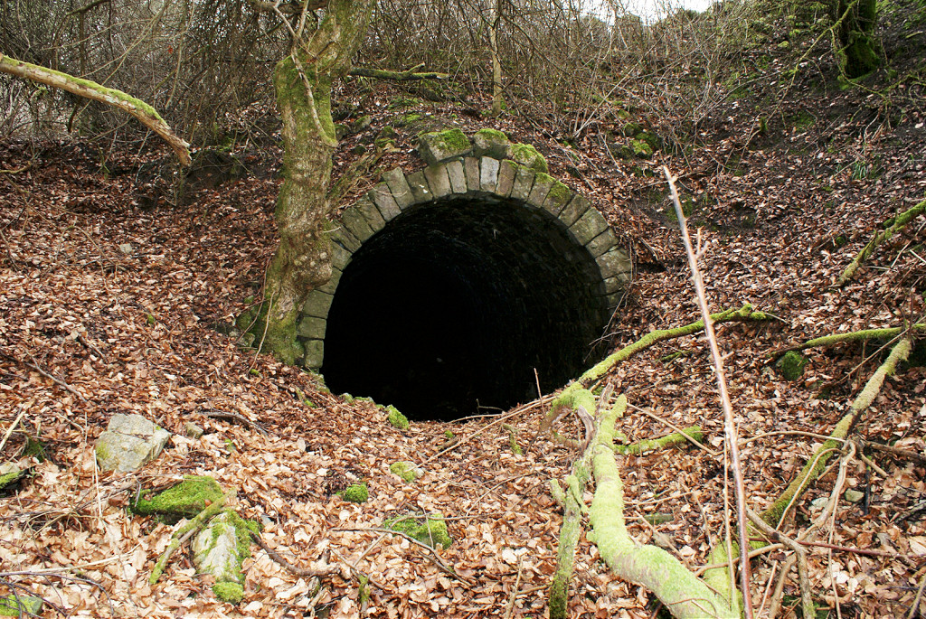
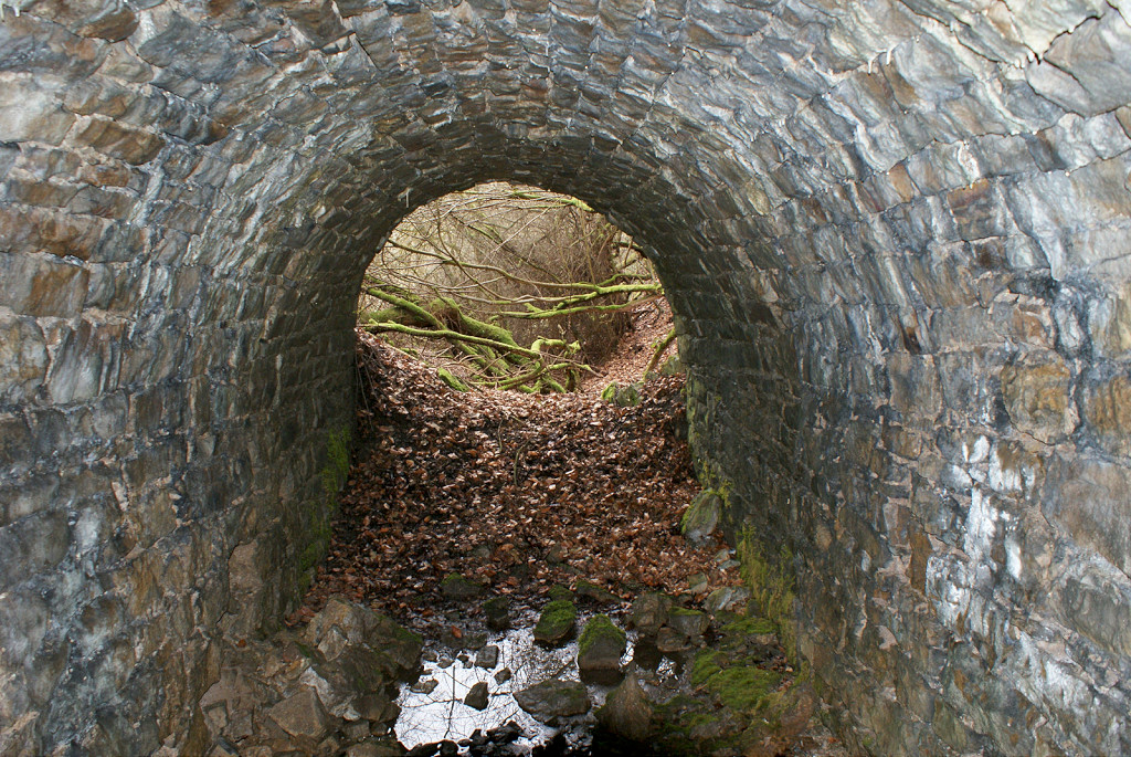
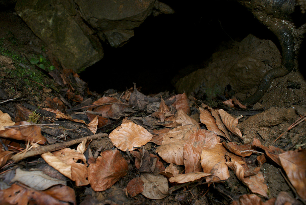
 Cwmsychan culvert |
 Level South of ironworks dam |
 Level South of ironworks dam |
 Quarry South of ironworks dam |
 Level North of ironworks dam |
 Level East of Ty Cwmsychan |
 Possible level at Ty Cwmsychan |
 Level or quarry beyond reservoir |
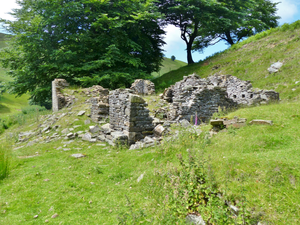 Ty Cwmsychan Farm |
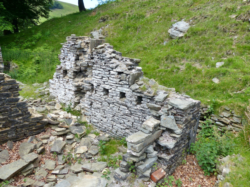 Ty Cwmsychan Farm |
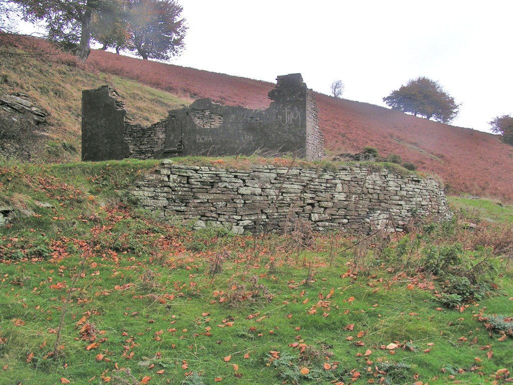 Ty Cwmsychan Farm |
|
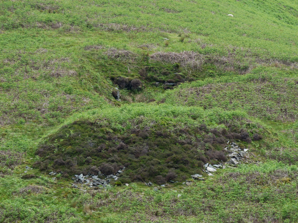
 New Found Out Farm |
 New Found Out Farm |
 New Found Out Farm |
 New Found Out Farm |
Industrial WalesCollieries, Ironworks, Quarries, Railways, Canals, Tramroads, Tunnels, Culverts and so much more....
|
Brickworks of WalesBricks are 'History with a label' so here's the story of the Brickworks of Wales - photos, maps and the products themselves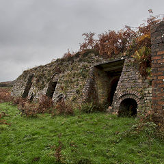
|
Around the WorldMy travels around the UK and the Whole Wide World in search of industries, railways, trams and mines to name a few.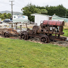
|
Boundary Stones and MilepostsBoundary Stones, Mileposts and other markers in simple alphabetical order of their initials, name or site.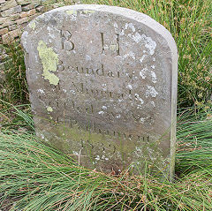
|
Ships and ShippingShips around the World in simple alphabetical order of their name (or apparent area if I can't read the name).
|
The Site Map and IndexA full list of all the pages of the whole website in just one place, so you should find exactly what you are looking for.
|
About the SiteThe background and technical details about the site, plus a contact page and links to other sites - and a warning !!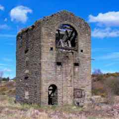
|
Contact MeSomething to add? A great photo? Something wrong? or need to know more about things? Just drop me a line here.
|
Further ReadingYou can find lots of local and other very helpful websites, books, magazines and Facebook groups all listed here.
|