The Industrial Archaeology and History of the Eastern Valley
Or click on the button to go to :-
Click on the thumbnail to enlarge a photo or map and sometimes read more about it.
Then click 'Full Size' on the toolbar to see it in all its glory.
Blaenavon Town
Engine Pit shaft - SO 2441 0896
Engine Pit level - SO 2475 0894
Engine Pit was the first shaft mine in Blaenavon, probably sunk around 1806. By 1819 it had become the key to the water-balance operated drainage system throughout the area. A single unlined shaft was drained by a waterwheel and pump rods to a beam below the ground. A second offset shaft at the bottom acted as a sump. Later, beam engines were installed both on the surface and at the top of the lower shaft, I've heard that the lower one is still down there somewhere. Photographs taken in 1976 show that the shaft was still in good condition. The level comes out on the Forgeside Road and was one of the emergency exits from Big Pit.
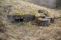
Engine Pit, Blaenavon
|
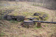
Engine Pit, Blaenavon
|
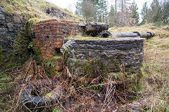
Engine Pit, Blaenavon
|
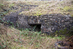
Engine Pit, Blaenavon
|
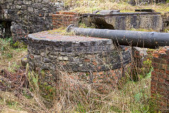
Engine Pit, Blaenavon
|
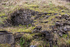
Engine Pit, Blaenavon
|
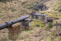
Engine Pit, Blaenavon
|
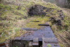
Engine Pit, Blaenavon
|
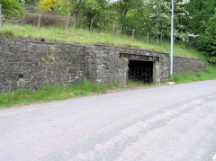
Engine Pit level, Blaenavon
|
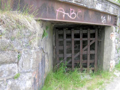
Engine Pit level, Blaenavon
|
|
|
River Arch Level - SO 2442 0895
River Arch Level is the current emergency exit from Big Pit. It is an extension of the older Forge Level which was covered by tipping.
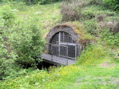
River Arch Level, Blaenavon
|
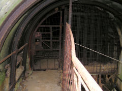
River Arch Level, Blaenavon
|
|
The Blaenavon Tramroad - SO 2518 0869
The Blaenavon Tramroad ran from the Monmouthshire Canal spur at Pontnewynydd to Blaenavon Ironworks, built along with the canal in the 1790s. It was originally 3' 4" gauge but converted to 4' 2" gauge in c1829. Both canal spur and tramroad closed in 1851 to become the Blaenavon branch of the Monmouthshire Railway. In 1952 some stone sleepers were found in Prince Street, Blaenavon, on the route to the ironworks.
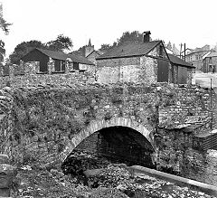
Blaenavon Tramroad, 1952
|
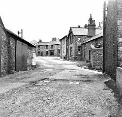
Blaenavon Tramroad, 1952
|
|
Blaenavon Ironworks
Amongst many other explorations of the area, this one stands out :-
From 15 May 2012 to 18 May 2012 Blaenavon World Heritage centre organised a series of events, one of which was an exploration of Blaenavon Ironworks and Hill's Tramroad. These, as they say, are the photos to prove it. Under the excellent tutelage of John Van Laun and Frank Olding, aided and abetted by Elaine Knight, we thoroughly investigated Blaenavon Ironworks before moving on to Pen-fford-goch where John demonstrated the difference betwen ironstone and coal tips (ironstone tips are covered with grass, coal tips with bracken). We moved on to explore Pwlldu and Tyla quarry, followed by a walk from Keepers Pond down to Garnddyrys, past a leat that I certainly hadn't noticed before.
Blaenavon Ironworks - SO 2496 0928
Blaenavon Ironworks before restoration
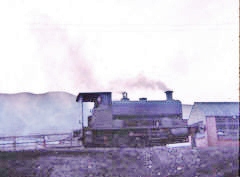
'No 6 Toto' at the engine shed, 1967
|
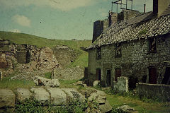
Blaenavon Ironworks in 1974
|
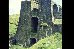
Blaenavon Ironworks in 1974
|
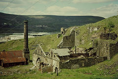
Blaenavon Ironworks in 1974
|
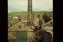
Blaenavon Ironworks in 1974
|
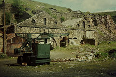
Blaenavon Ironworks in 1974
|
Blaenavon Ironworks - SO 2496 0928
The Ironworks after restoration and conservation
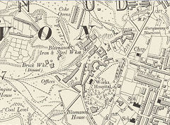
Blaenavon Ironworks in 1899
|
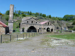
Ironworks casting sheds
|
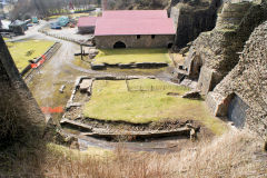
Furnaces from balance tower
|
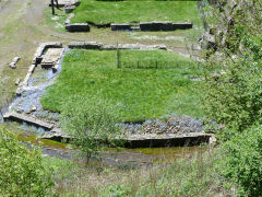
Ironworks casting sheds site
|
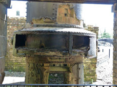
Ironworks blowing engine machine
|
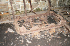
Ironworks jubilee wagon frame
|
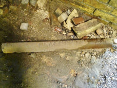
'Blaenavon' iron ingot mould
|
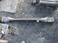
Ironworks tramroad sill
|
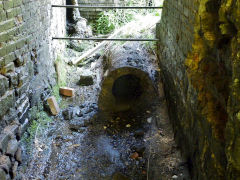
Ironworks rear of furnace No 2
|
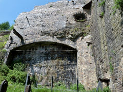
Ironworks side of furnace No 2
|
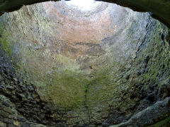
Ironworks interior of furnace No 2
|
|
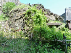
Ironworks furnace No 3
|
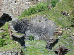
Ironworks furnace No 3
|
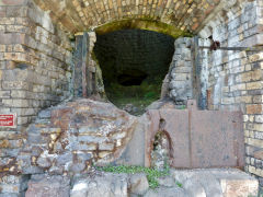
Ironworks furnace No 4
|
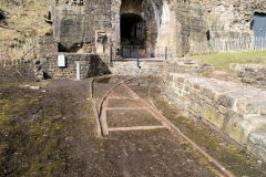
Ironworks furnace No 4
|
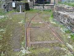
Ironworks furnace No 4
|
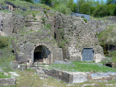
Ironworks furnace Nos 4 and 5
|
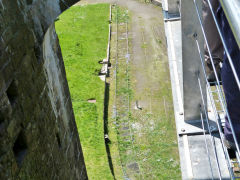
Trackwork in Ironworks yard
|
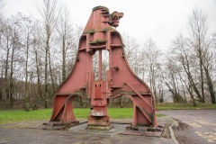
Ironworks forgehammer
|
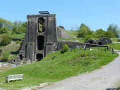
Ironworks balance tower
|
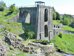
Ironworks balance tower
|
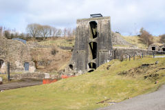
Ironworks balance tower
|
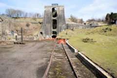
Ironworks railway to balance tower
|
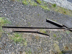
Plateway on the balance tower
|
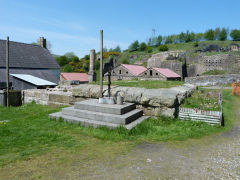
Ironworks, base of stack chimney
|
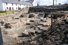
Ironworks blowing engine
|
|
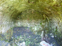
Lower calcinating kilns interior
|
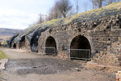
Upper calcinating kilns
|
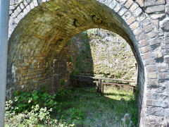
Upper calcinating kilns interior
|
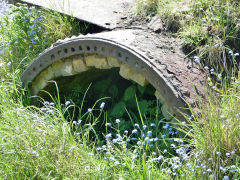
End of upper calcinating kilns
|
Bunkers Hill, Garn Road and Pwlldu Tunnel
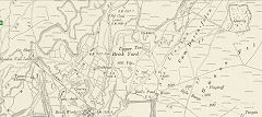
Bunkers Hill area, Blaenavon, 1899
|
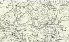
Bunkers Hill area, Blaenavon, 1916
|
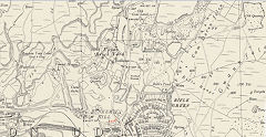
Bunkers Hill area, Blaenavon, 1948
|
Old Coal Pits, Garn Road - SO 2439 0955
These two shafts were probably dug in the 1790s but became ventilating shafts for Cinder Pit in 1863. As there are two circular shafts, the winding gear was probably powered by a waterwheel, rather than as a balance pit. There's a dry reservoir on the other side of the road to the north-west. The shafts are lined in stone, with the last few feet being brick. Mike Doyle recalls "Inside the walls which could easily be climbed were 4m open shafts, 80m to water and 100+m to the bottom! There was quite a collection of footballs in the space between the shaft linings and the walls. We filled the shafts in c2005"
Powder Magazine - SO 2466 0962
This stone-built magazine to the North of Garn Road dates from the 1850s, possibly when the shafts were actively used.
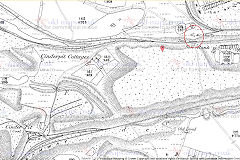
Cinder Pit and air shafts, 1880
|
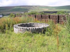
Cinder Pit ventilation shafts
|
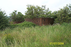
Cinder Pit ventilation shafts
|
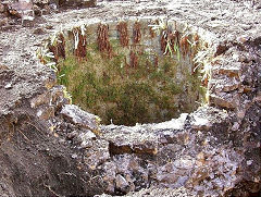
Cinder Pit ventilation shafts
|
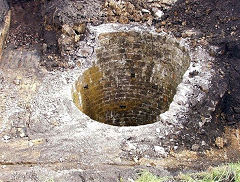
Cinder Pit ventilation shafts
|
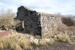
Garn Road magazine, Blaenavon
|
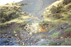
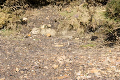
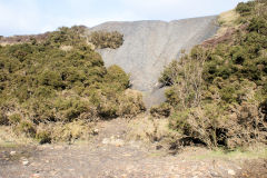
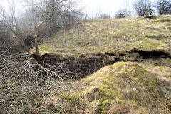
Pwlldu Tunnel , Southern portal - SO 2485 0983
When I finally found the Southern entrance in 2010, it was buried to the top of the arch and is marked by a line of breeze blocks just showing above ground, at a slight angle to the approach. The course of the approach is clearly defined as are the foundations of various buildings around it. During 2011, 'The Forgotton Landscapes' project has cleared the entrance down to the trackbed and rebuilt the entrance arch so now there are some 'after' photos to go with the 'before'.
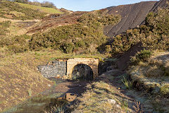
Hills Tramroad, Pwlldu tunnel
|
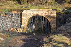
Hills Tramroad, Pwlldu tunnel
|
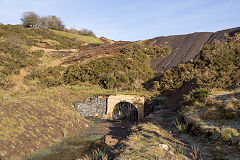
Hills Tramroad, Pwlldu tunnel
|
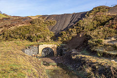
Hills Tramroad, Pwlldu tunnel
|
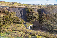
Hills Tramroad, Pwlldu tunnel
|
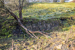
Pwlldu tunnel cottages
|
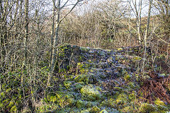
Pwlldu tunnel cottages
|
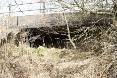
Tramroad under Brynmawr Road
|
Pwlldu tunnel south portal
|
Pwlldu tunnel south portal
|
Pwlldu tunnel south portal
|
Pwlldu tunnel south portal cottage
|
Meadow Vein Level or Peggi's Level - SO 2480 0990
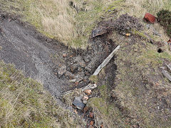
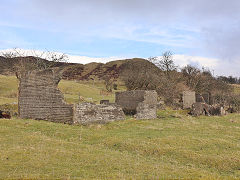
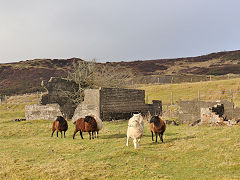
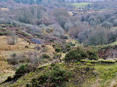
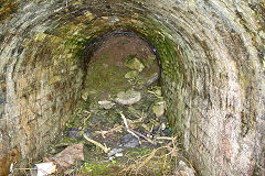
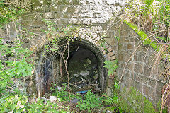
Behind the tunnel entrance are the spoil tips and sites of coal, clay and ironstone levels. From them the course of two tramways head back towards the brickworks and ironworks. The tunnel under Garn Road at SO 2502 0953 is one remaining feature.
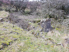
Ruins at Meadow Vein Level
|
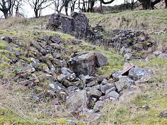
Ruins at Meadow Vein Level
|
|
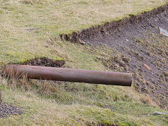
Workings at Meadow Vein Level
|
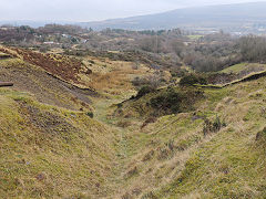
Workings at Meadow Vein Level
|
Workings at Meadow Vein Level
|
Buildings at Meadow Vein Level
|
Buildings at Meadow Vein Level
|
Pwlldu tunnel approach from Meadow Vein Level
|
Peggi's Level tramroad bridge
|
Peggi's Level tramroad bridge
|
|
Tuyeres at Cwm Dwfn - SO 2498 0970
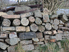
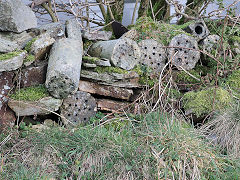
These tuyeres at Cwm Dwfn are the nozzles used to get the blast gases into Blaenavon's blast furnaces. These were made at the Upper Brickworks at Bunker Hill and the nearby area is scattered with them.
Tuyeres at Cwm Dwfn
|
Tuyeres at Cwm Dwfn
|
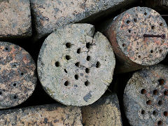
Tuyeres at Cwm Dwfn
|
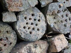
Tuyeres at Cwm Dwfn
|
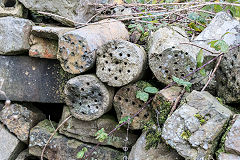
Tuyeres near the Upper Brick Yard
|
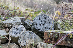
Tuyeres near the Upper Brick Yard
|
Osborne Cottage - SO 2522 1007
Osborne Cottage is just above the Upper Brickworks
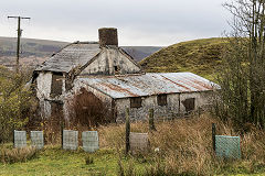
Osborne Cottage
|
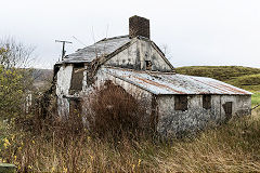
Osborne Cottage
|
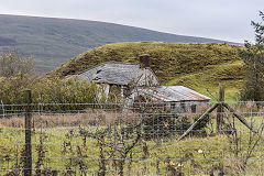
Osborne Cottage
|
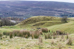
Tips behind Osborne Cottage
|
The 1790s Viaduct - SO 2483 0955
Buried beneath about 50 feet of rubble is the viaduct illustrated by Sir Richard Colt-Hoare and re-discovered by the Channel 4 'Time Team' in 2001. It was built in c1790 and disappeared from maps in c1815, having been covered in ironworks and mine waste.
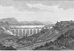
The 1790 viaduct, Blaenavon
|
|
|
Hill Pit tramroad and incline
Hill Pit tramroad incline and brake house - SO 2428 0990
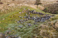
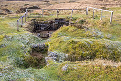
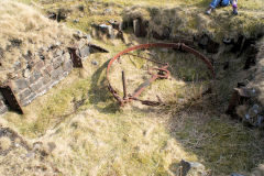
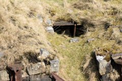
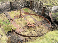
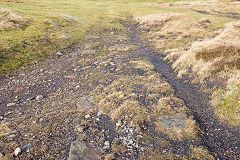
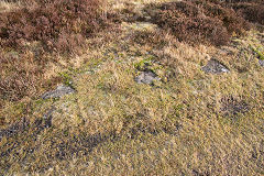
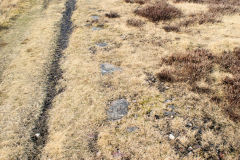
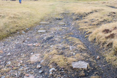
The Incline begins at the cottages at SO 2435 0966 and leads up to the brake house. This contains the remains of the brake band mechanism and the brakesman's shelter. In 2010 the site was being cleared of undergrowth and rubbish. The tramway from the top has many stone sleepers on the way to the Pit.
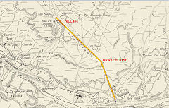
Hill Pit in 1899, Blaenavon
|
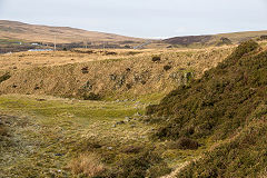
Hill Pit incline, Blaenavon
|
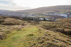
Hill Pit incline, Blaenavon
|
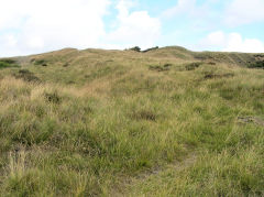
Hill Pit incline, Blaenavon
|
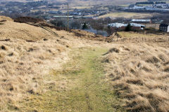
Hill Pit incline, Blaenavon
|
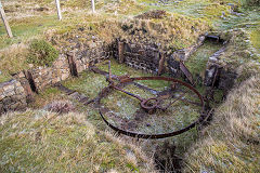
Hill Pit incline brakewheel
|
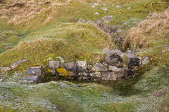
Hill Pit incline brakewheel
|
Hill Pit incline brakewheel
|
Hill Pit incline brakewheel
|
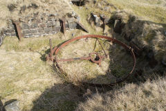
Hill Pit incline brakewheel
|
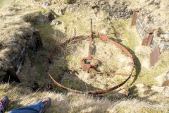
Hill Pit incline brakewheel
|
Hill Pit incline brakewheel
|
Hill Pit incline brakewheel
|
Hill Pit incline brakewheel
|
|
|
Hill Pit tramroad
|
Hill Pit tramroad
|
Hill Pit tramroad
|
Hill Pit tramroad
|
Hill Pit - SO 2390 1027
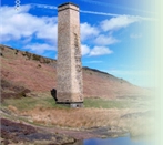
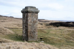
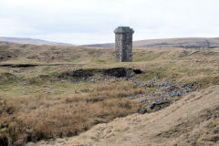
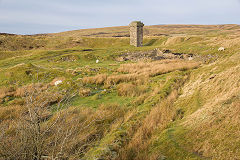
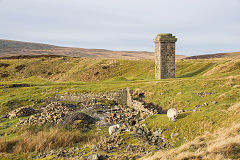
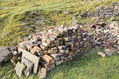
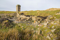
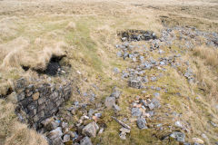
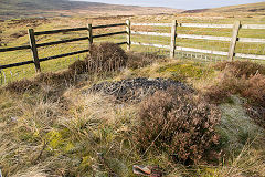
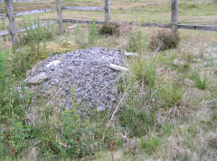
The stone-built engine house chimney is the centrepiece of the area, the engine house being adjacent on the West and the shafts to the North. The foundationsto the East are of a row of 4 houses called 'Hillpit Cottages', last occupied around 1962. The pits were sunk in the 1830s, closing in 1894. Two reservoirs are either side of the site. Another shaft is poorly covered and fenced to the North-East. The tramway continues Northwards to New Pit.
Dennis Hopkins writes :- "We've been doing some work on the site as part of the Forgotten Landscapes project in Blaenavon over the last year. We believe the wall visible [to the East of the chimney] is a part of a retaining wall at the back and sides of extensions added to a row of four houses (probably post 1880) [Hillpit Cottages]".
Hill Pit chimney
|
Hill Pit chimney and cottages
|
Hill Pit chimney and cottages
|
Hill Pit chimney and cottages
|
Hill Pit cottages, Blaenavon
|
Hill Pit cottages, Blaenavon
|
Hill Pit cottages, Blaenavon
|
|
Hill Pit shaft, Blaenavon
|
Hill Pit shaft, Blaenavon
|
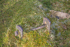
Hill Pit headgear support
|
|
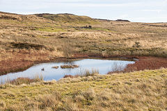
Hill Pit reservoir, Blaenavon
|
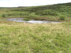
Hill Pit reservoir, Blaenavon
|
Hill Pit reservoir dam
|
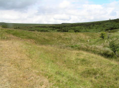
Hill Pit reservoir dam
|
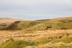
Hill Pit tips, Blaenavon
|
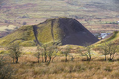
Hill Pit tips, Blaenavon
|
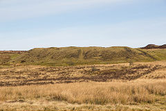
Hill Pit, tips above the site
|
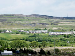
Hill Pit tips from Milfraen
|
Ty Abraham Harry - SO 2411 1028
Just to the North-East off the tramway are the ruins of a farmhouse, occupied until the mid 1960s. There are remains of many coal, clay and ironstone levels and tips around the farmhouse.
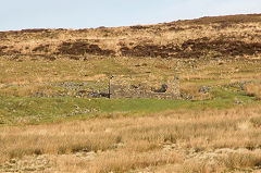
Tir Abraham Harry, Blaenavon
|
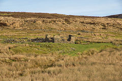
Tir Abraham Harry, Blaenavon
|
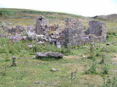
Tir Abraham Harry, Blaenavon
|
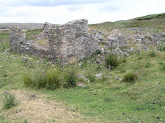
Tir Abraham Harry, Blaenavon
|
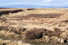
Reservoir near Tir Abraham Harry
|
|
|
|
New Pit and the Dyne-Steel incline
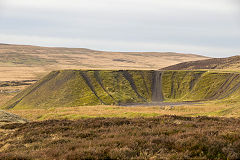
New Pit - SO 2307 1061
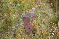
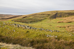
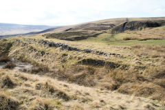
The filled shafts and remains of the headgear are at the foot of the Dyne-Steel incline. There is a small reservoir with a concrete dam just before you reach the site, A little further North is what I first thought to be a large earth-banked reservoir but, looking at the original OS maps, it was a tramroad embankment that gets lost in the opencast workings.
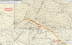
New Pit in 1899, Blaenavon
|
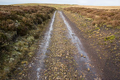
Tramroad approaching New Pit
|
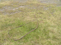
Haulage cable on route to New Pit
|
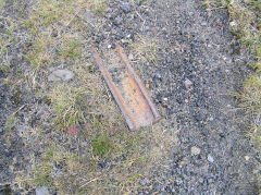
Rail on route to New Pit
|
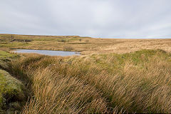
New Pit reservoir, Blaenavon
|
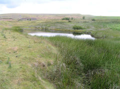
New Pit reservoir, Blaenavon
|
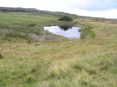
New Pit reservoir, Blaenavon
|
|
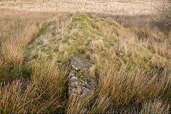
New Pit reservoir dam, Blaenavon
|
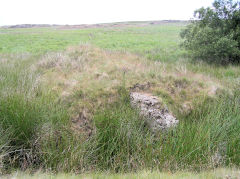
New Pit reservoir dam, Blaenavon
|
|
|
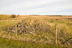
New Pit shaft, Blaenavon
|
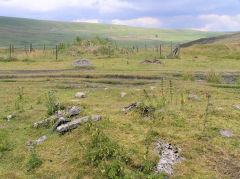
New Pit shaft, Blaenavon
|
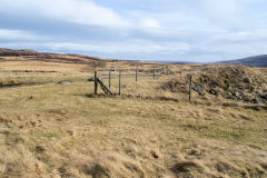
New Pit shaft, Blaenavon
|
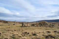
New Pit shaft, Blaenavon
|
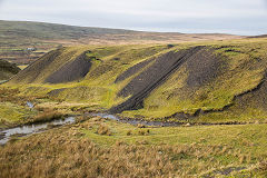
New Pit tips, Blaenavon
|
|
|
|
Ironmongery beside tramroad
|
Northern tramroad looking North
|
Northern tramroad looking North
|
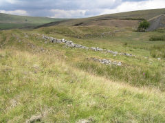
Northern tramroad looking North
|
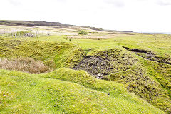
Northern tramroad at New Pit
|
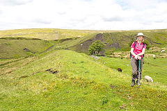
Northern tramroad looking North
|
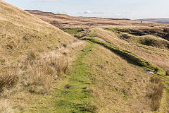
Northern tramroad looking South
|
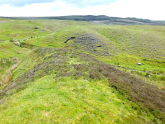
End of the Northern tramroad
|
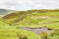
End of the Northern tramroad
|
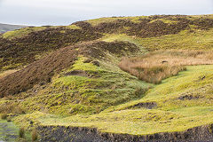
End of the Northern tramroad
|
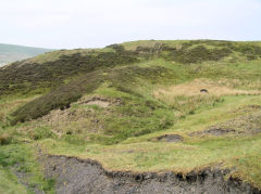
End of the Northern tramroad
|
|
Dyne-Steel Incline - SO 2395 1094
The Dyne-Steel Incline was built to avoid the Pwll-Du tramroad tunnel and was a double track, standard gauge incline. The route is very clear as it crests the ridge. Towards the top the remains of the engine and brake houses can be seen.
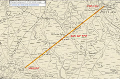
The Dyne-Steel incline in 1899
|
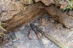
Summit of the Dyne-Steel incline
|
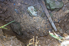
Summit of the Dyne-Steel incline
|
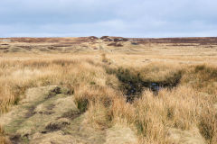
Dyne Steel incline
|
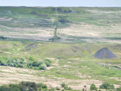
Dyne Steel incline
|
|
Dyne-Steel Eastern quarry - SO 2424 1108
This ironstone quarry or level is not shown on the 1879 map but does not seem to be working on the 1899 map
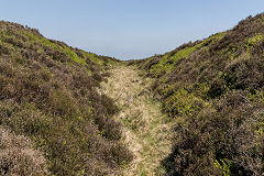
Dyne-Steel Eastern quarry
|
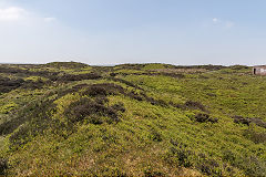
Dyne-Steel Eastern quarry
|
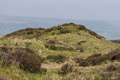
Dyne-Steel Eastern quarry
|
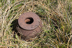
Dyne-Steel Eastern quarry
|
Dyne-Steel Western level - SO 2397 1094
This old level or possibly a drainage ditch runs parallel with the incline does not appear to be active in 1879.
Carreg Maen Taro - SO 2382 1133
This is an ancient standing stone erected (according to tradition) in early British times to commemorate a battle which was fought here between two kings or chiefs, one of whom was named Ifor. It is inscribed "M", facing Monmouthshire and "B", facing Brecknocks.
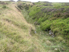
Dyne-Steel Western level
|
|
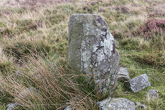
Boundary stone near Canada Tips
|
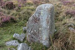
Boundary stone near Canada Tips
|
Acknowledgments, sources and further reading.
Thanks to Mike Doyle, Dennis Hopkins and Huw Wakefield for the use of their photographs
A Guide to the Website
Industrial Wales
Collieries, Ironworks, Quarries, Railways, Canals, Tramroads, Tunnels, Culverts and so much more....
|
Brickworks of Wales
Bricks are 'History with a label' so here's the story of the Brickworks of Wales - photos, maps and the products themselves
|
Around the World
My travels around the UK and the Whole Wide World in search of industries, railways, trams and mines to name a few.
|
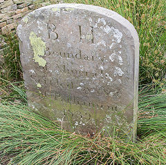
Boundary Stones and Mileposts
Boundary Stones, Mileposts and other markers in simple alphabetical order of their initials, name or site.
|
Ships and Shipping
Ships around the World in simple alphabetical order of their name (or apparent area if I can't read the name).
|
The Site Map and Index
A full list of all the pages of the whole website in just one place, so you should find exactly what you are looking for.
|
About the Site
The background and technical details about the site, plus a contact page and links to other sites - and a warning !!
|
Contact Me
Something to add? A great photo? Something wrong? or need to know more about things? Just drop me a line here.

|
Further Reading
You can find lots of local and other very helpful websites, books, magazines and Facebook groups all listed here.
|
All rights reserved - Phil Jenkins
