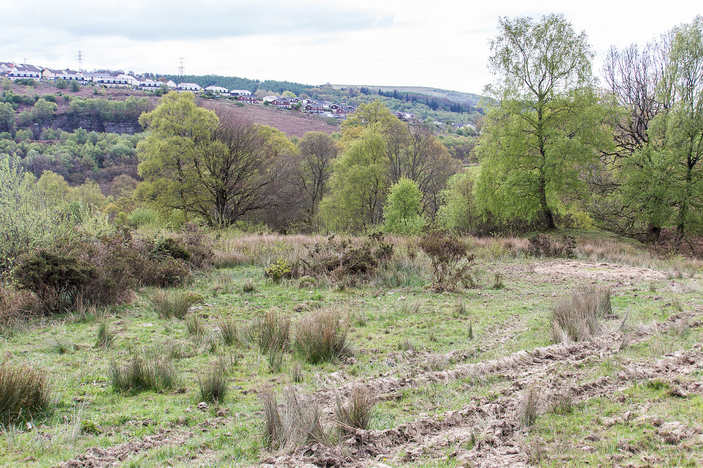
Industrial Wales - Monmouthshire's Western Valley
Abertillery
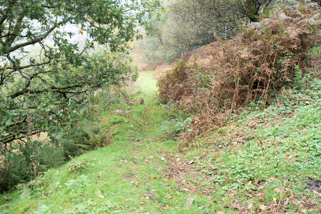
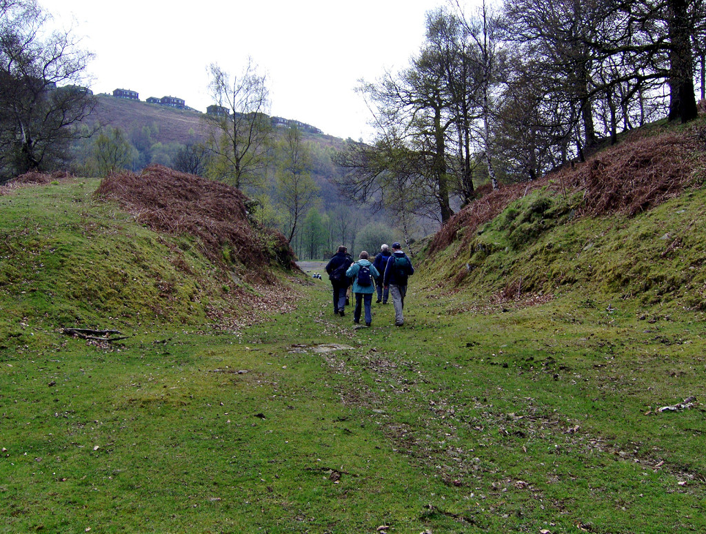
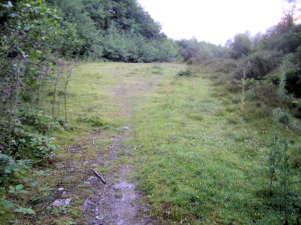
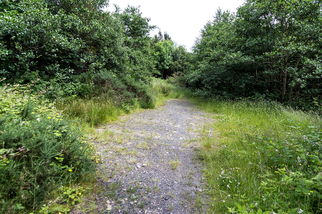
From Trinant to Cwmtillery via Aberbeeg and Six Bells along the West bank
Search the site here
|
|
Industrial Wales - Monmouthshire's Western Valley
Abertillery
From Trinant to Cwmtillery via Aberbeeg and Six Bells along the West bank
|
Search the site here
|
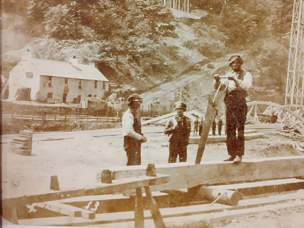
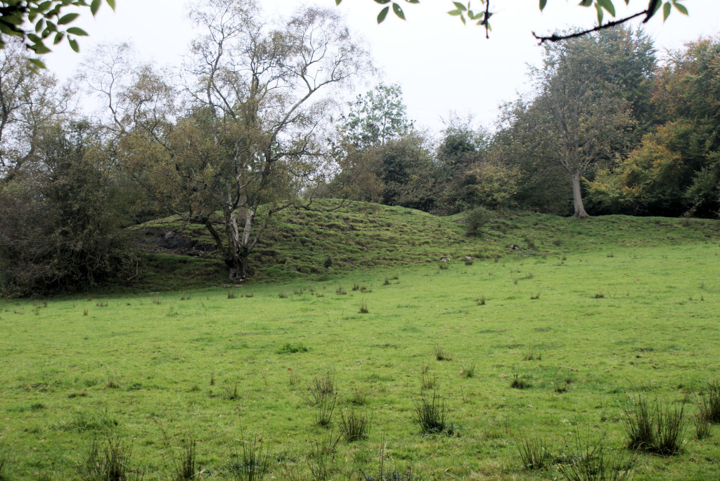
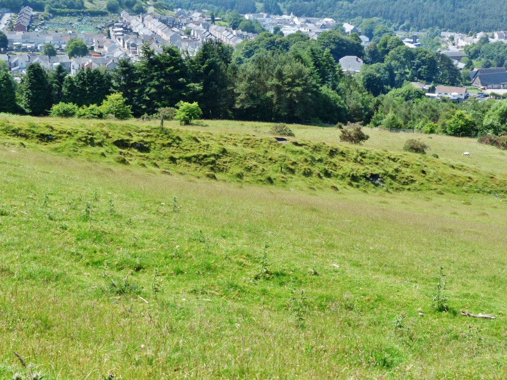
 The incline or Ginny to Crumlin, 1880 |
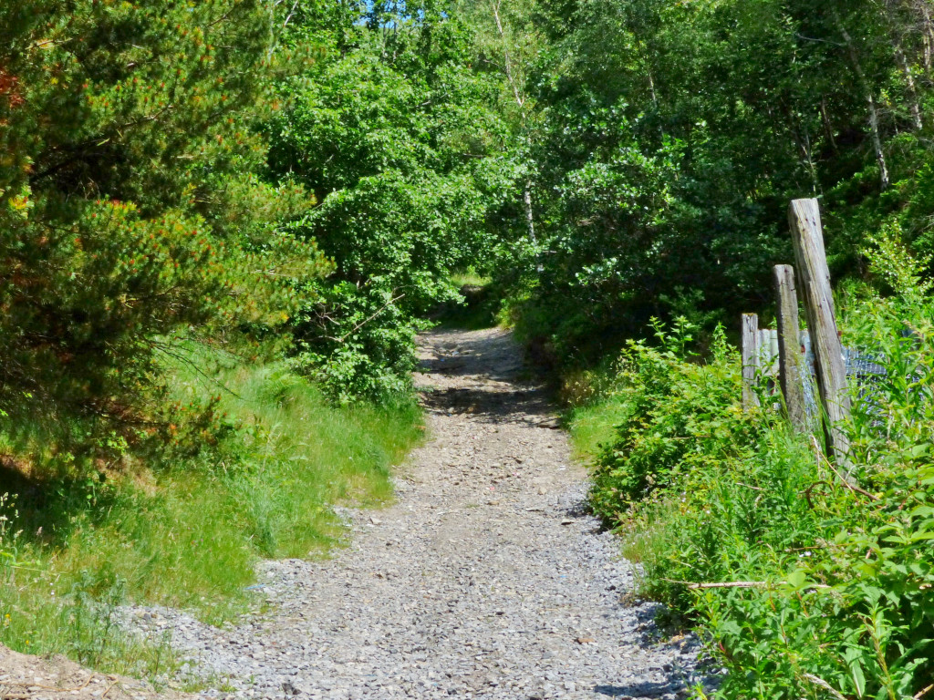
 Mark Phillips Tramroad to Trinant |
 Mark Phillips Tramroad to Trinant |
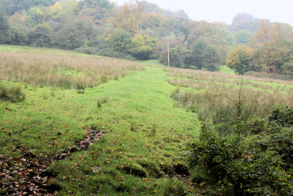
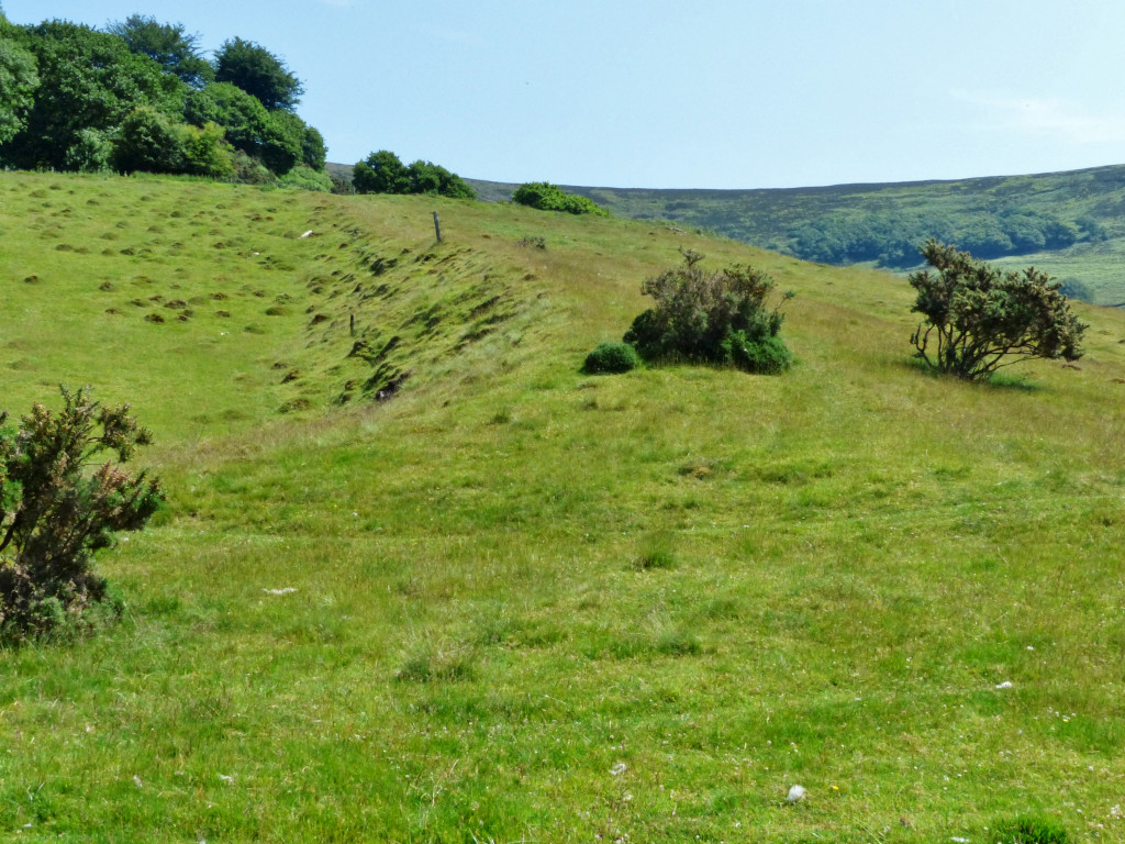
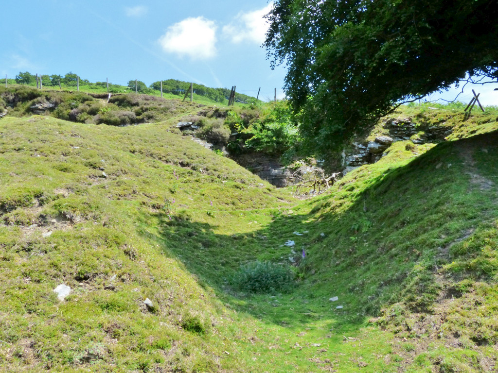
 An old rail on Trinant incline |
 Tramway incline to Crumlin |
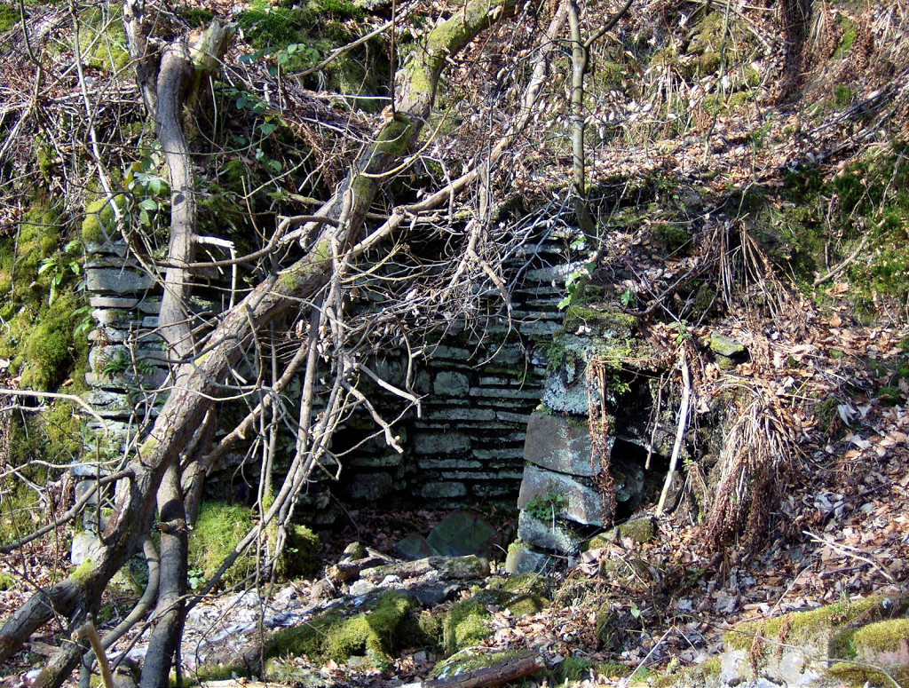
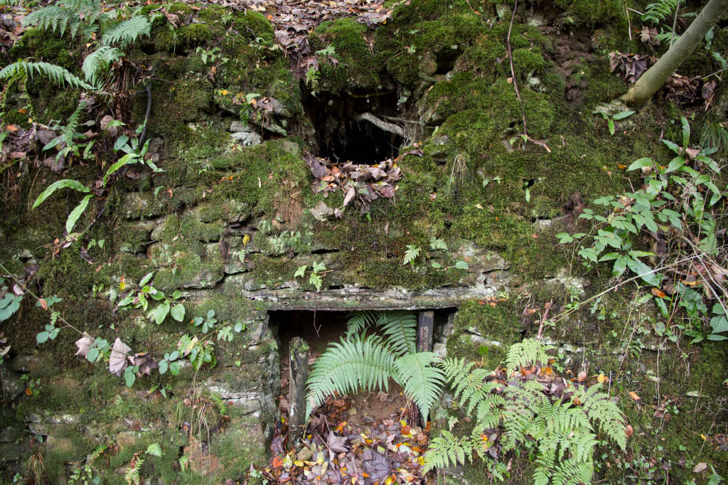
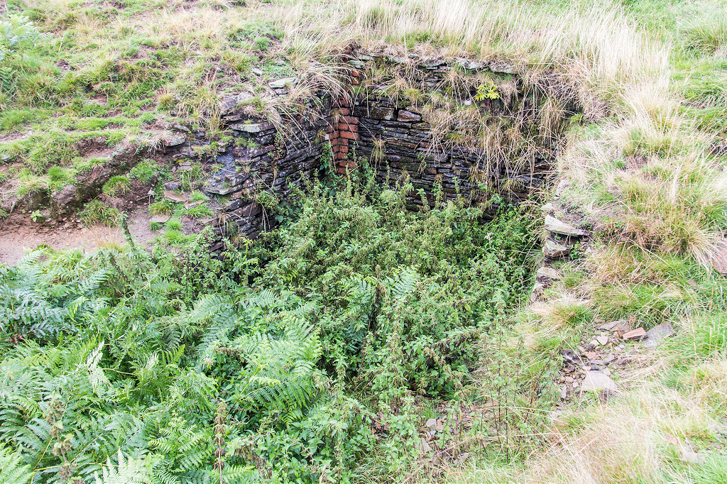
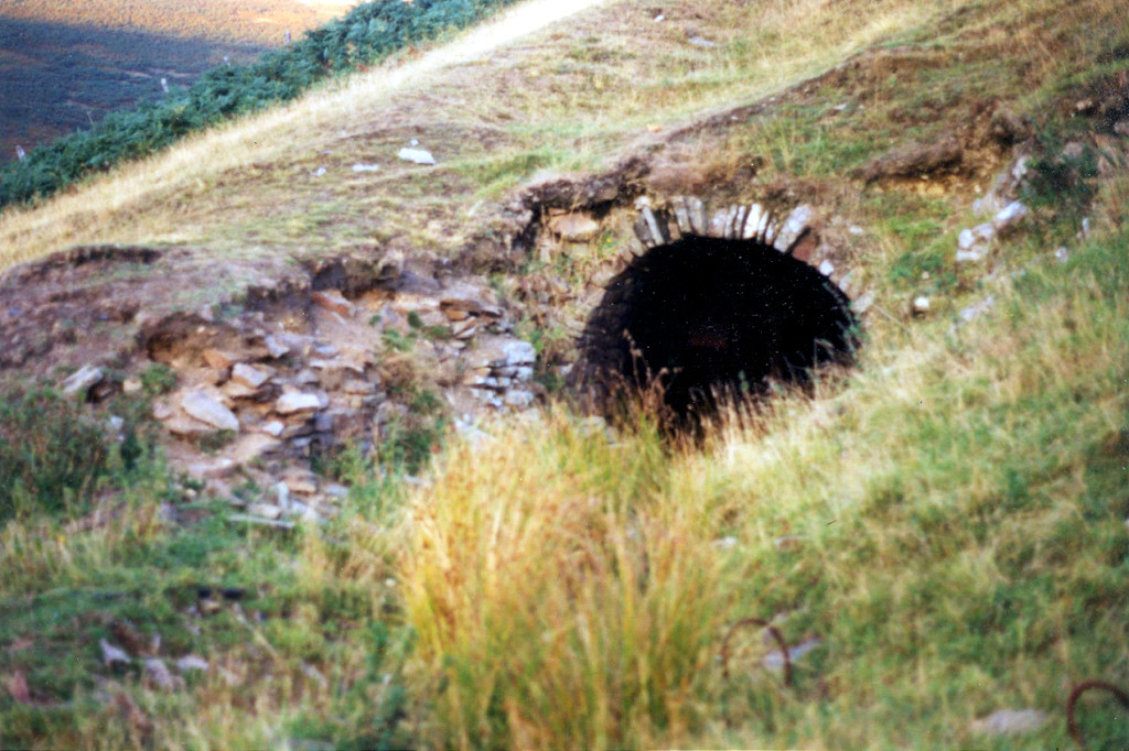
 Trinant incline brakehouse |
 Lower end of Phillips incline |
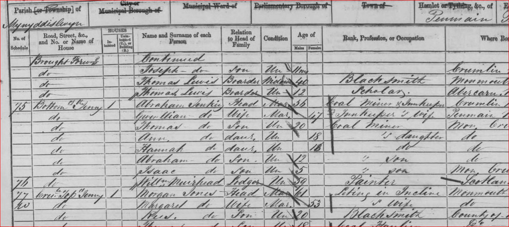 1861 Census of the incline houses |
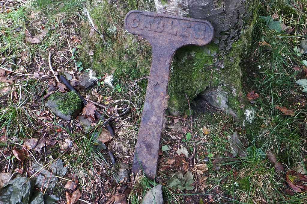 'Cables' post near Trinant |
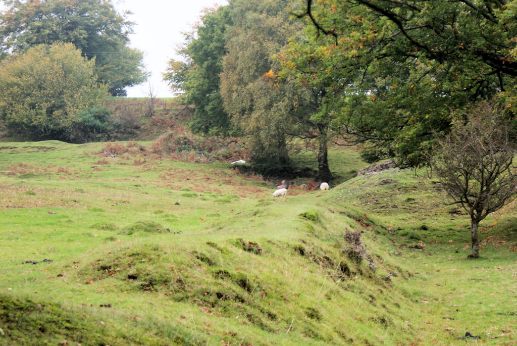
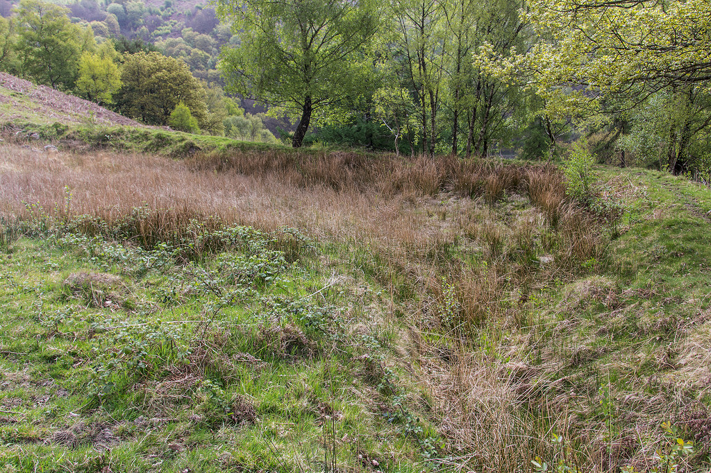
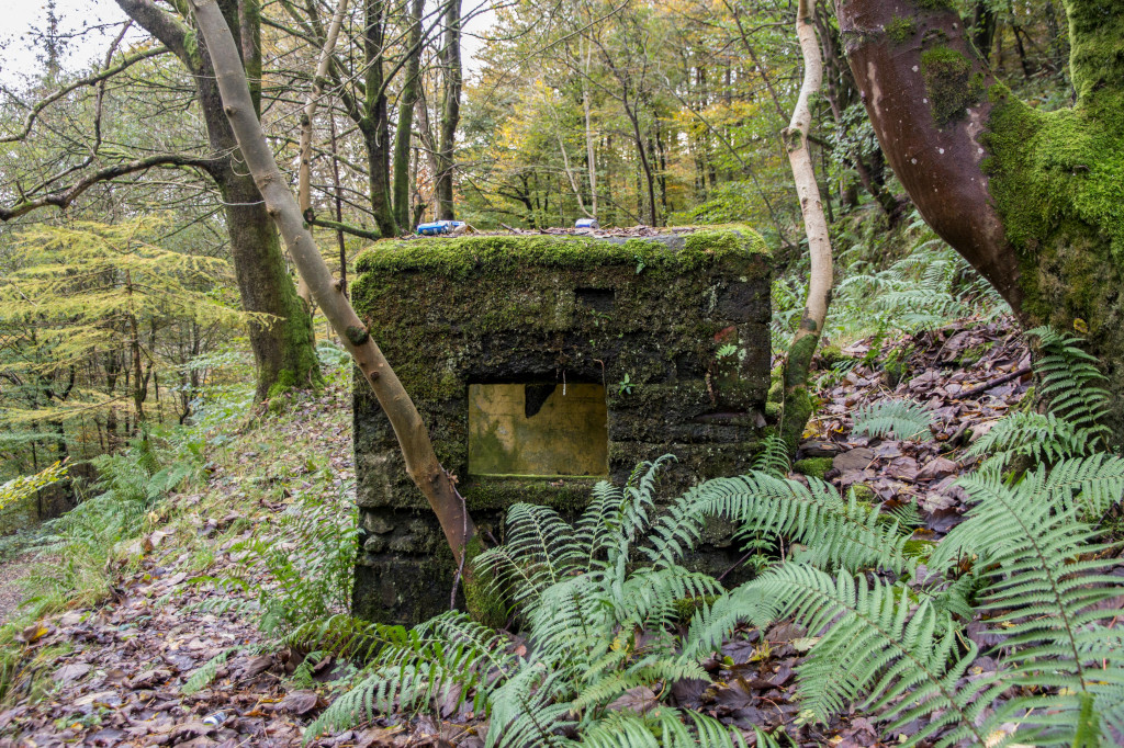
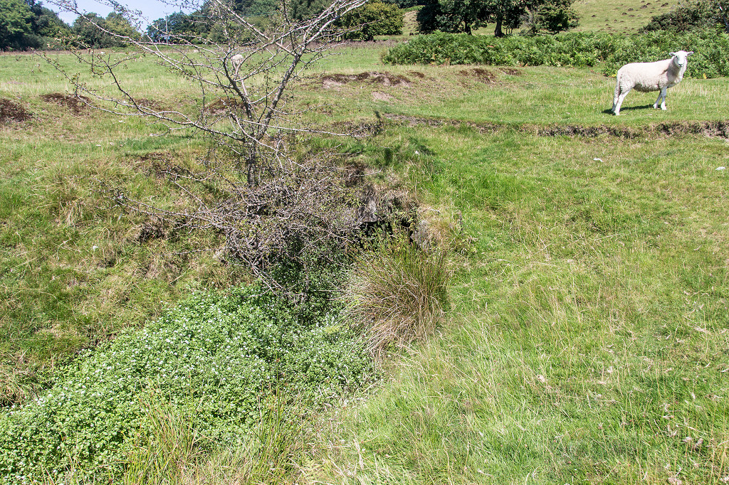
 Llanerch-Isaf Southern level |
 Llanerch-Isaf Southern level |
 Llanerch-Isaf Southern level |
 Llanerch-Isaf Southern level |
 Llanerch-Isaf Southern level |
 Llanerch-Isaf Southern level |
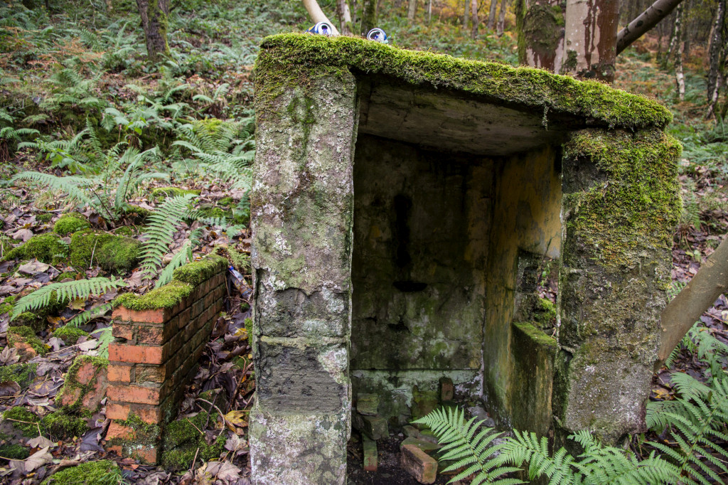
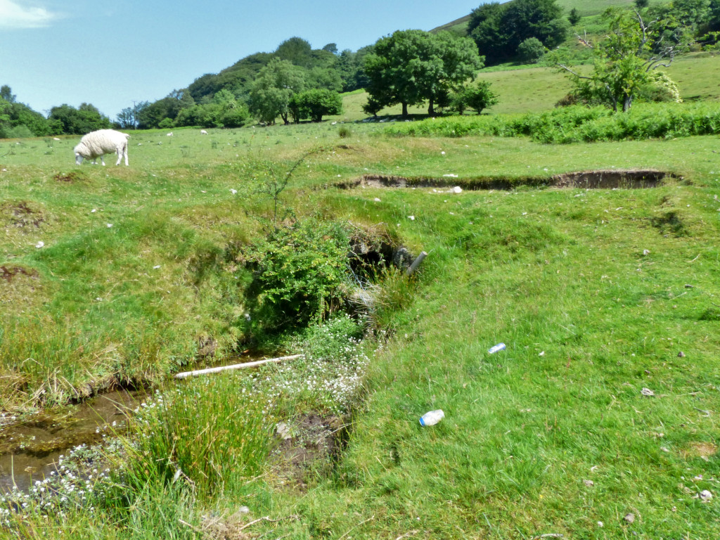
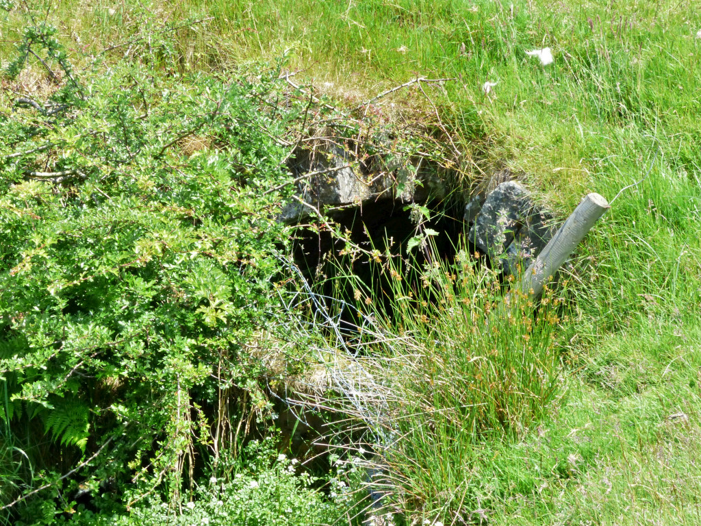
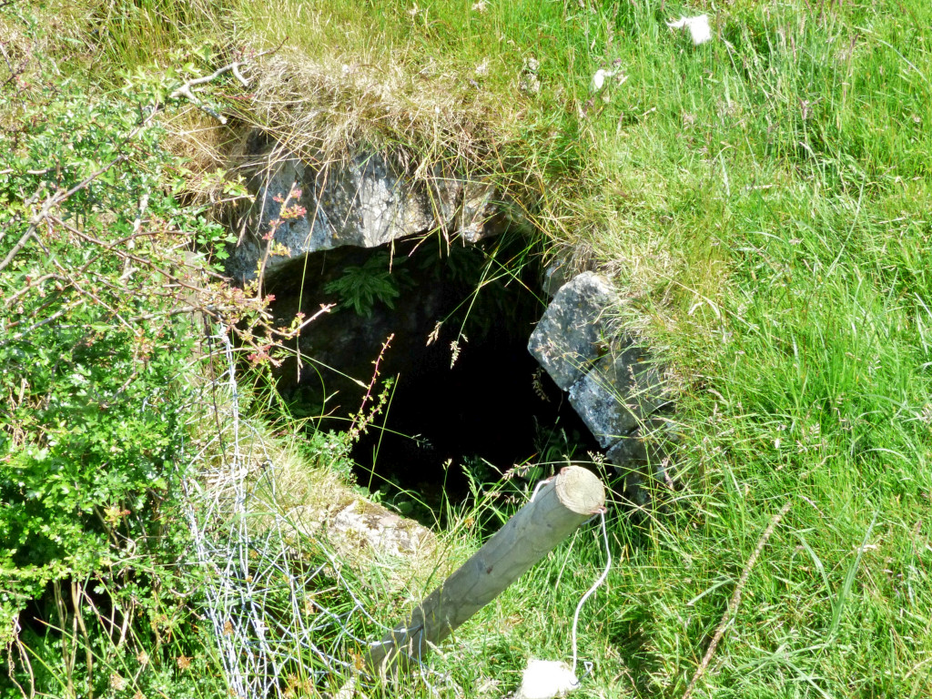
 Llanerch-Isaf Northern level |
 Llanerch-Isaf Northern level |
 Llanerch-Isaf Northern level |
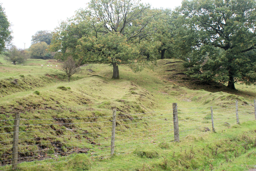 Llanerch-Isaf Northern level |
 Llanerch-Isaf Northern level |
 Llanerch-Isaf Northern level |
 Llanerch-Isaf Northern level |
 Llanerch-Isaf Northern level |
 Llanerch-Isaf Northern level |
 Llanerch-Isaf Northern level |
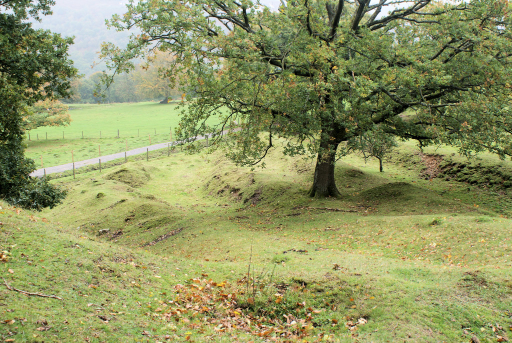
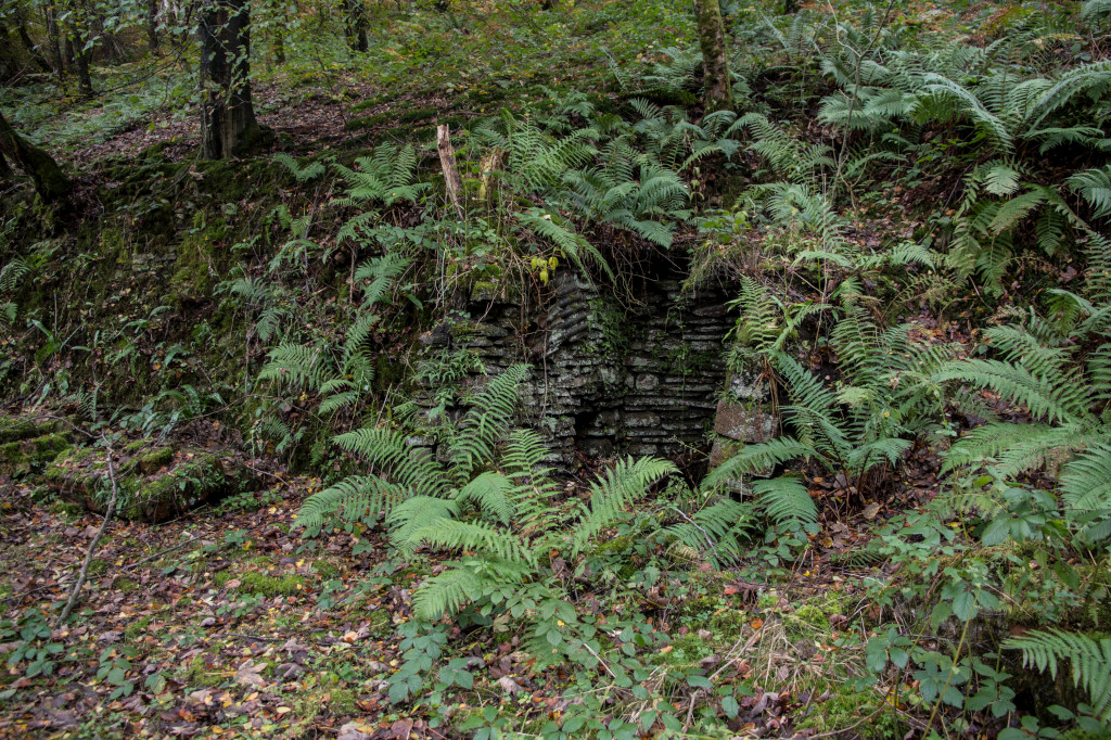
 Main level, Trinant Colliery |
 Main level, Trinant Colliery |
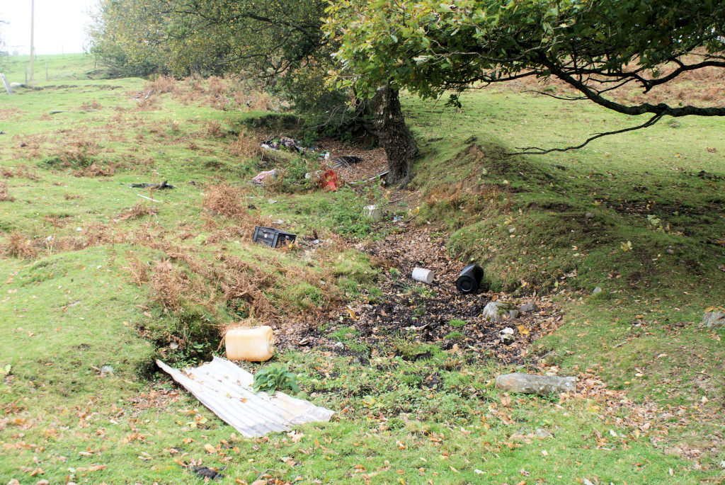
 Ton-tyr-bel shaft |
 Ton-tyr-bel shaft |
 Level below Ton-tyr-bel shaft |
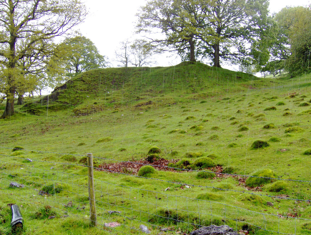
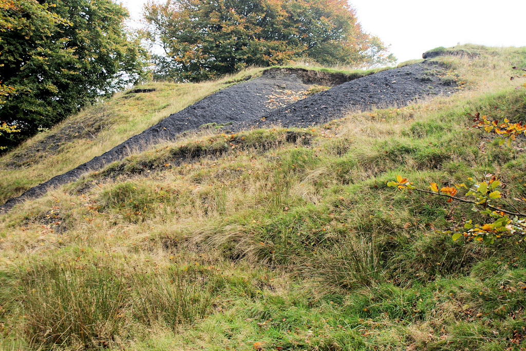
 Tips at Ton-tyr-bel shaft |
 Tips at Ton-tyr-bel shaft |
 Tramway to Ton-tyr-bel shaft |
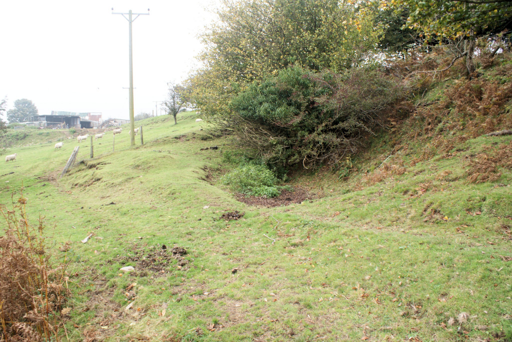
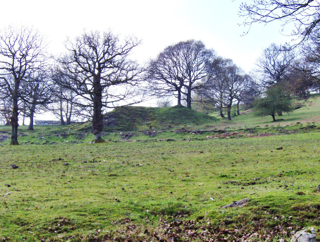
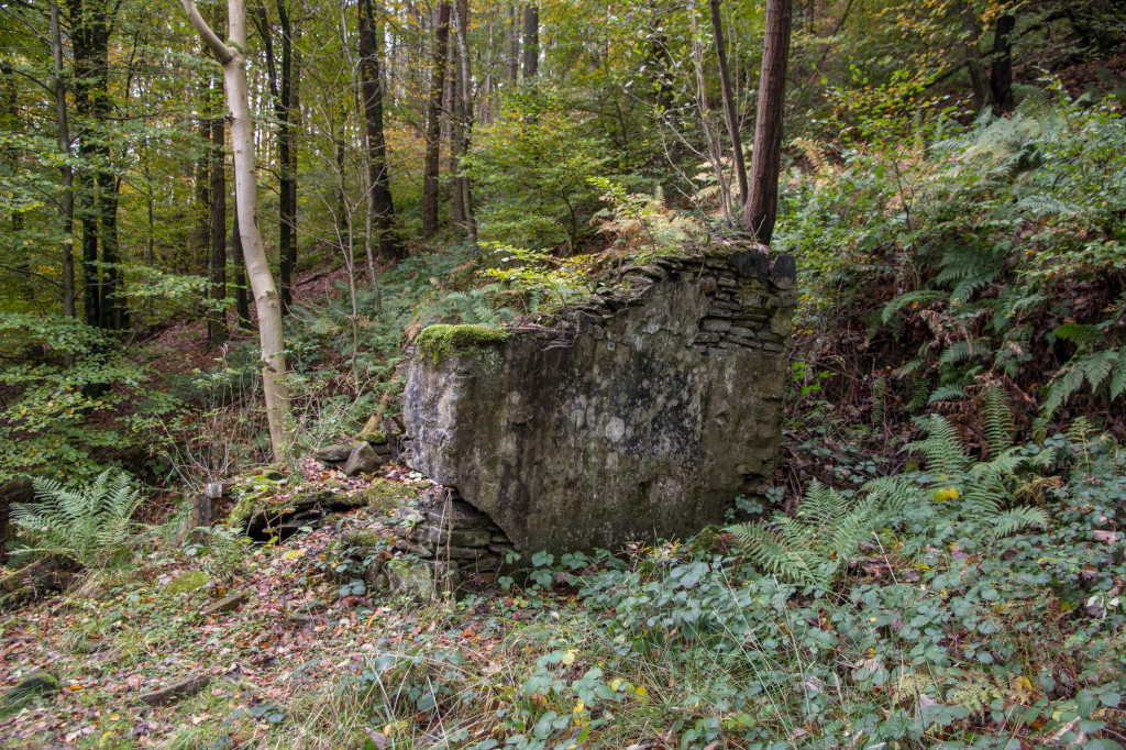
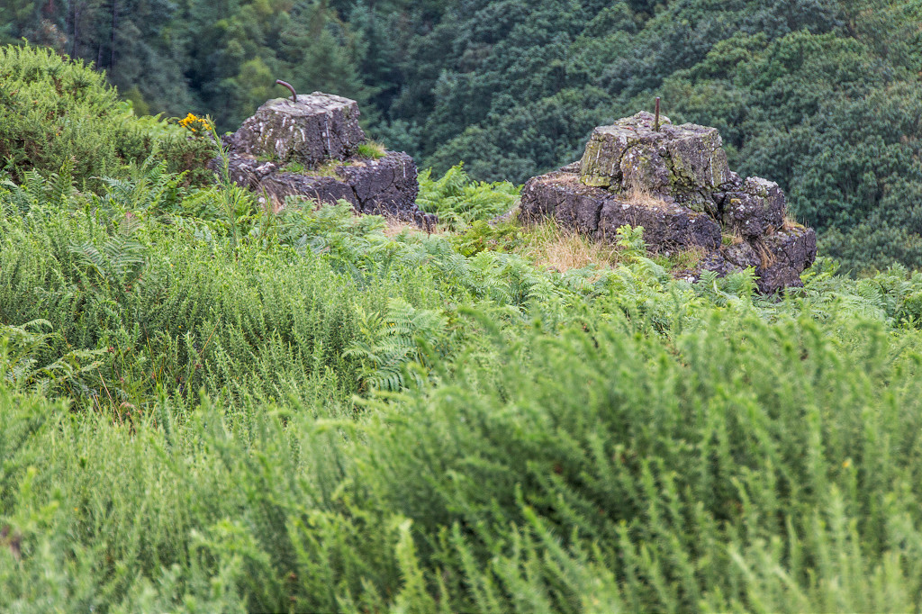
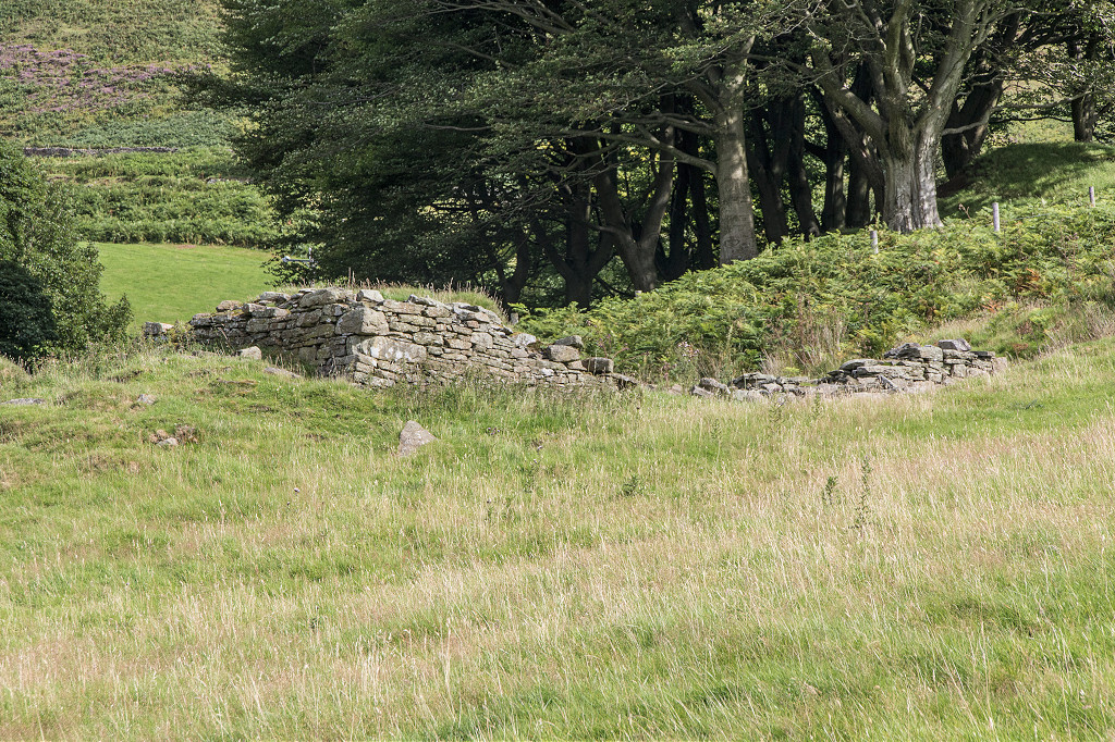
 The site of Ton-tyr-bel Colliery |
 The site of Ton-tyr-bel Colliery |
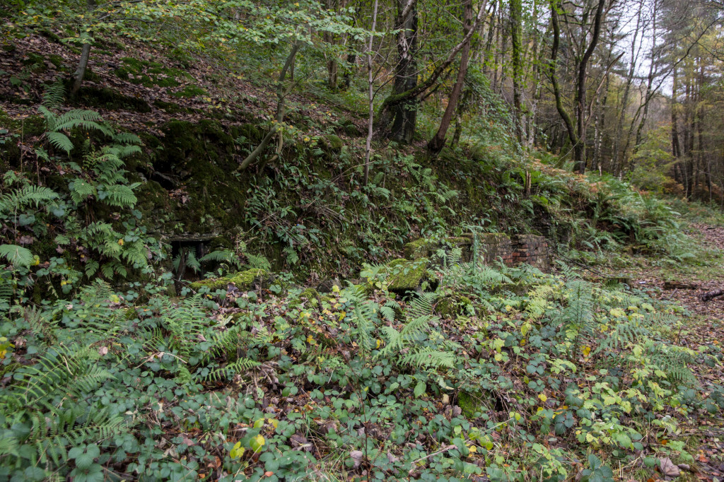
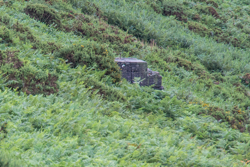
 Cefn Coch No 3 level, Trinant |
 Cefn Coch No 3 level, Trinant |
 Tip near Cefn Coed No 3 Level |
 Reservoir near Cefn Coch No 3 |
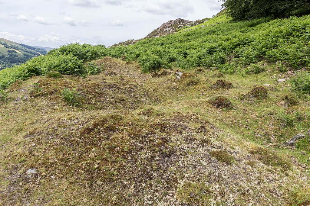
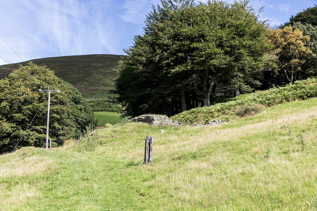
 Pentwyn Colliery site |
 Pentwyn Colliery site |
 Pentwyn Colliery site |
|
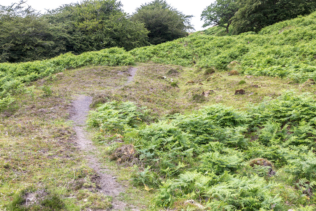
 Pentwyn tramway |
 Pentwyn tramway |
 Pentwyn tramway |
 Pentwyn workings |
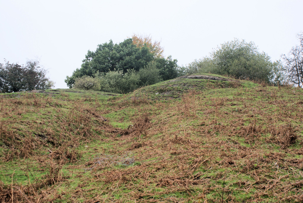
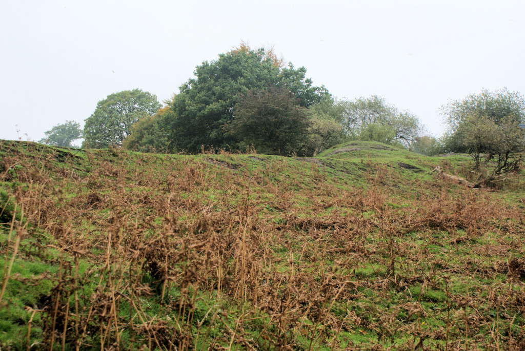
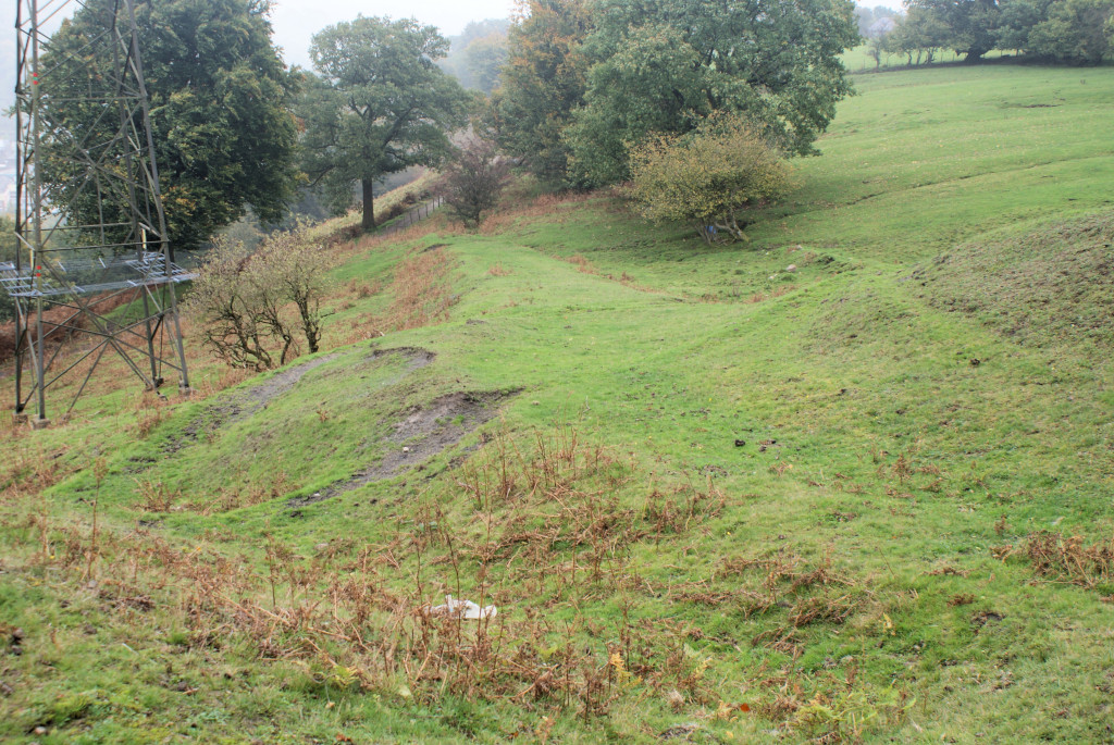
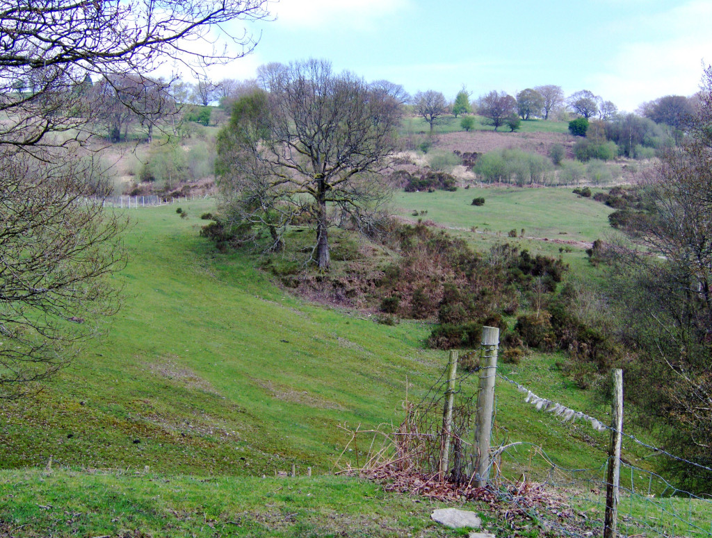
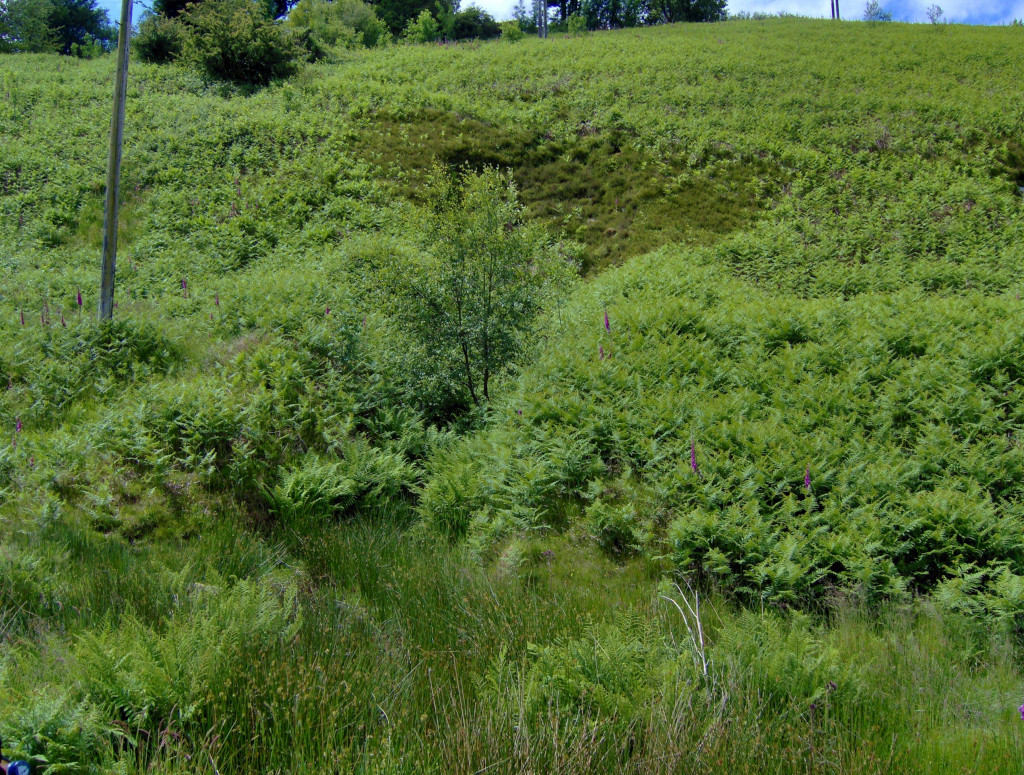
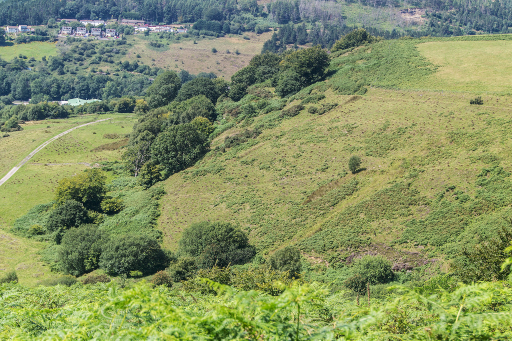
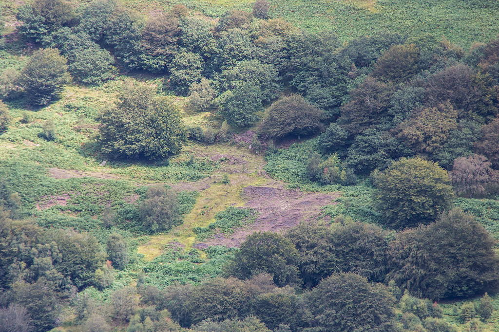
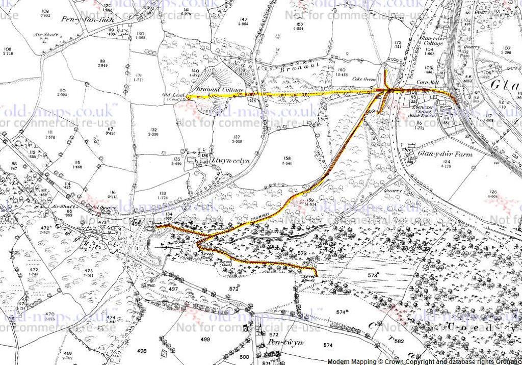 Brunant and Cwm-Nant-Gwint |
 Brunant incline, June 2009 |
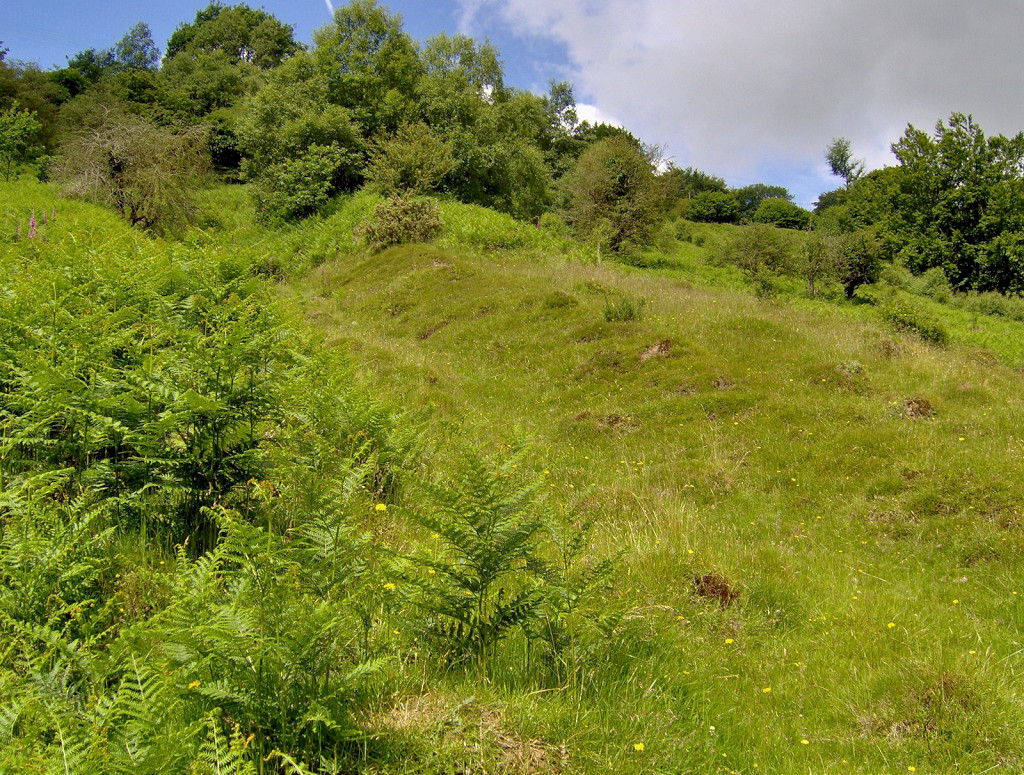
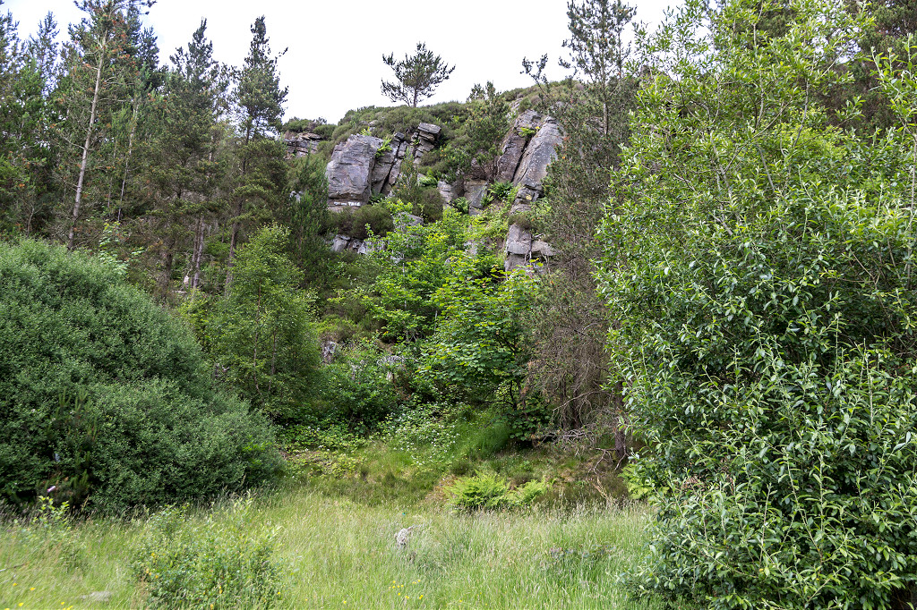
 Coed Trinant quarry, June 2009 |
 The 1769 packhorse bridge |
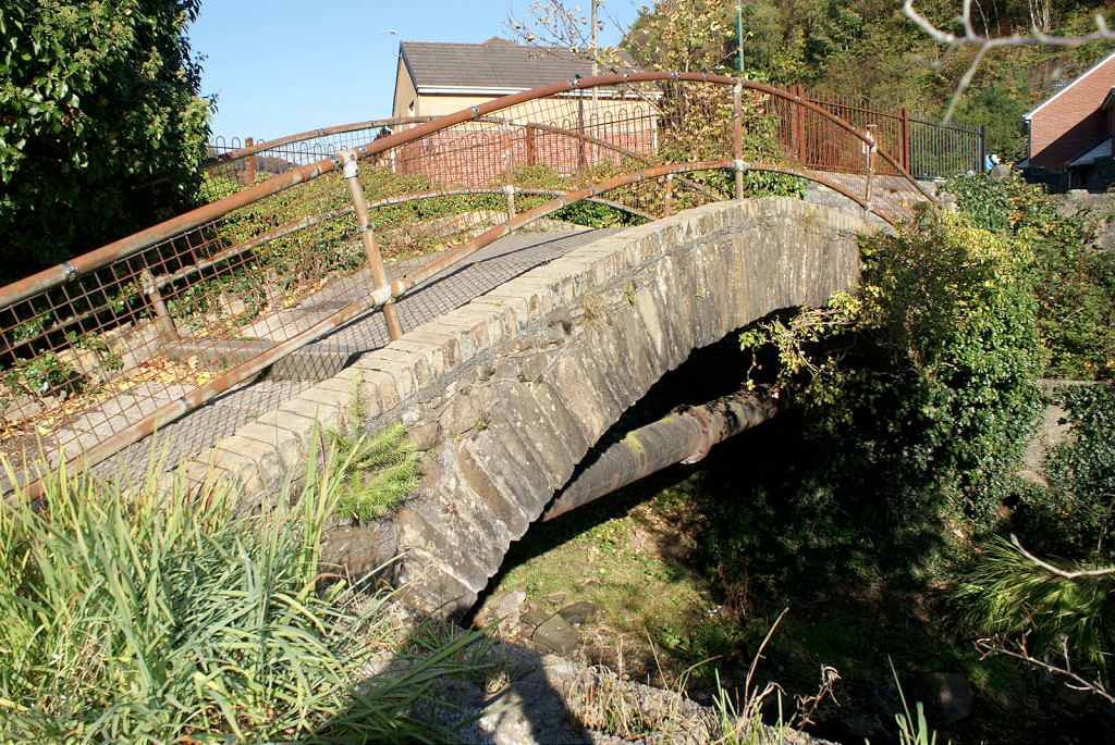 The 1769 packhorse bridge |
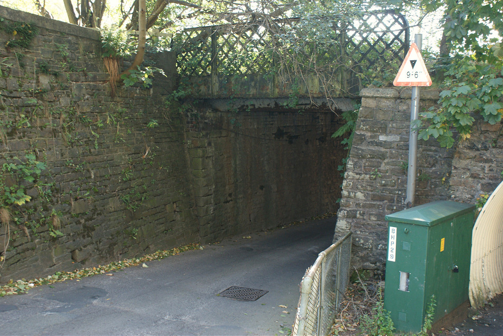
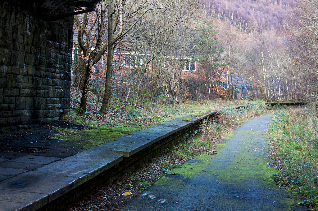 Aberbeeg Station, for Brynmawr |
 Aberbeeg Station, for Brynmawr |
 Aberbeeg Station, for Brynmawr |
 Aberbeeg North Colliery |
 Aberbeeg North Colliery |
 Aberbeeg North Colliery |
 Aberbeeg North Colliery |
 Aberbeeg North Colliery |
 Aberbeeg North Colliery |
 Aberbeeg North Colliery |
 Aberbeeg North Colliery |
 Aberbeeg North Colliery |
 Aberbeeg North Colliery |
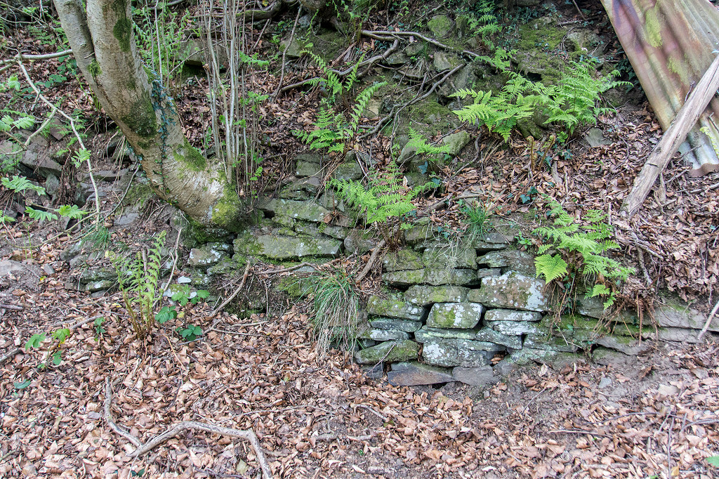
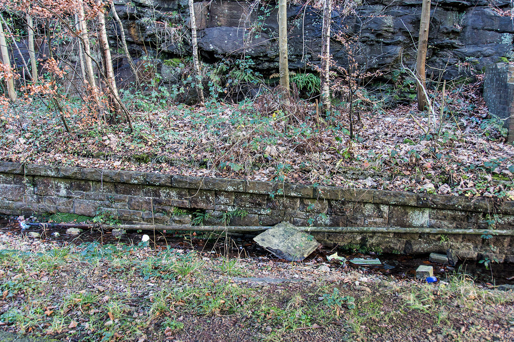
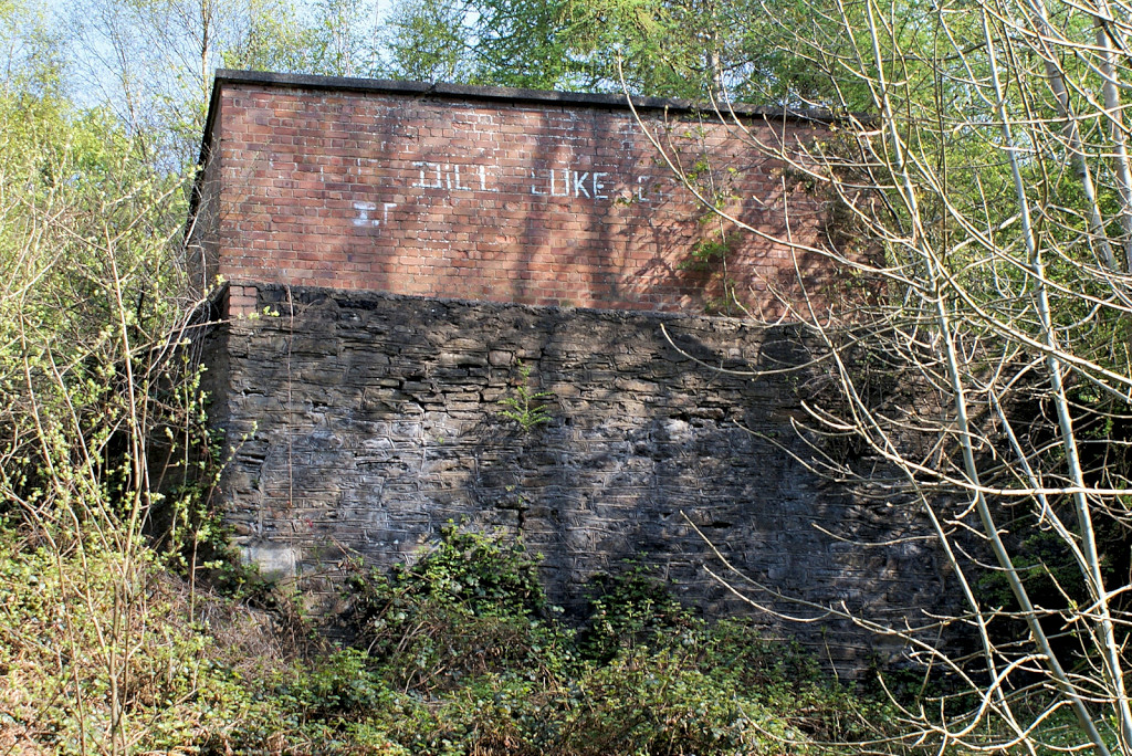
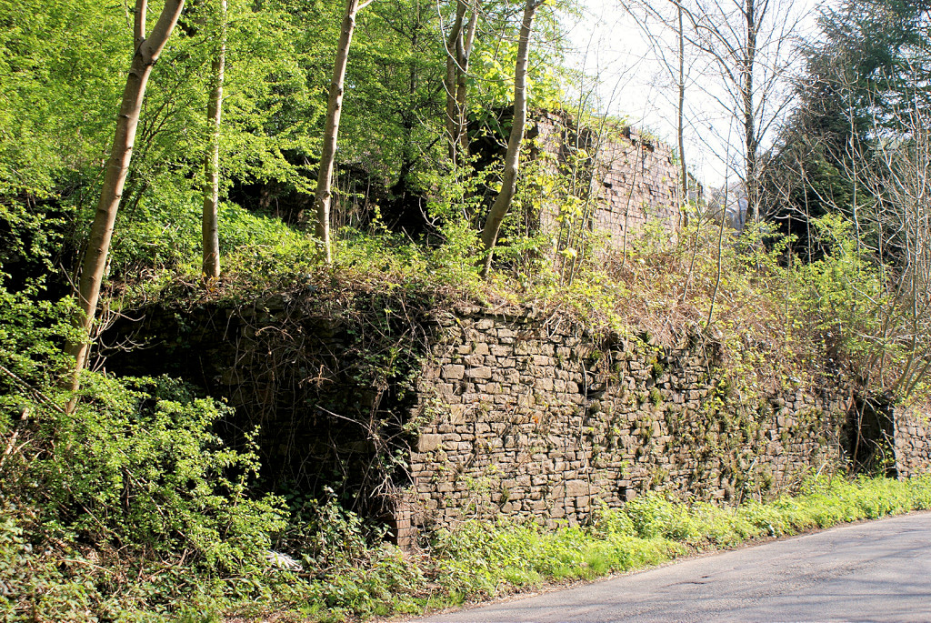
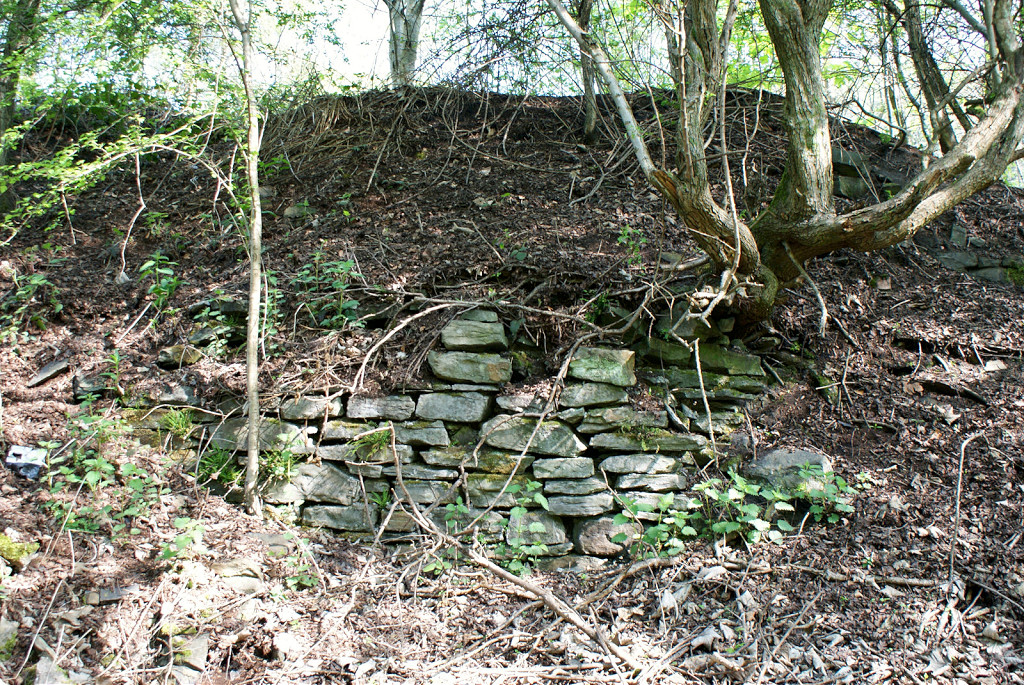
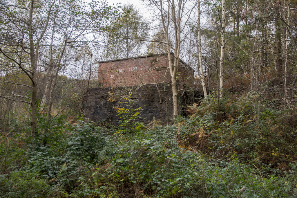
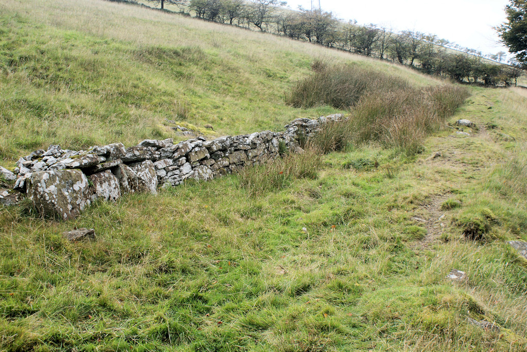
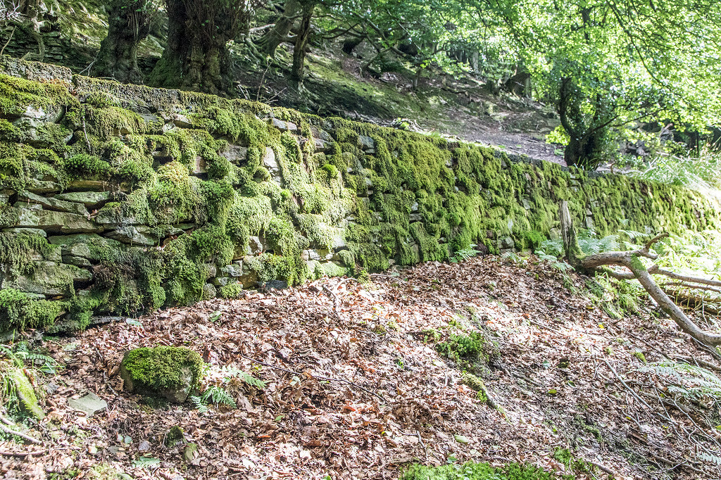
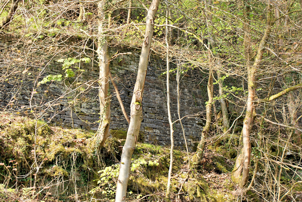 Quarry and retaining wall |
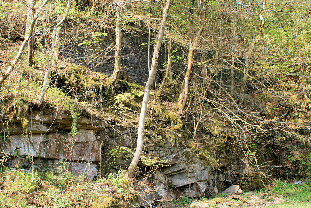 Quarry and retaining wall |
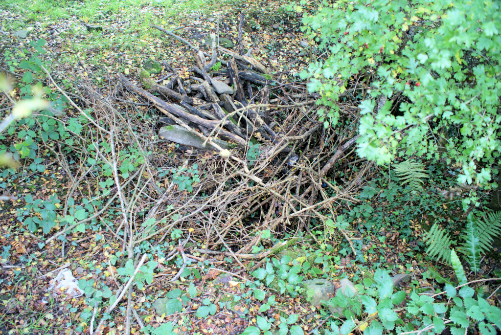
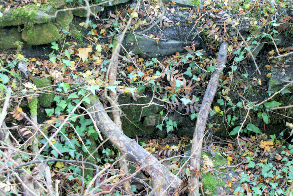
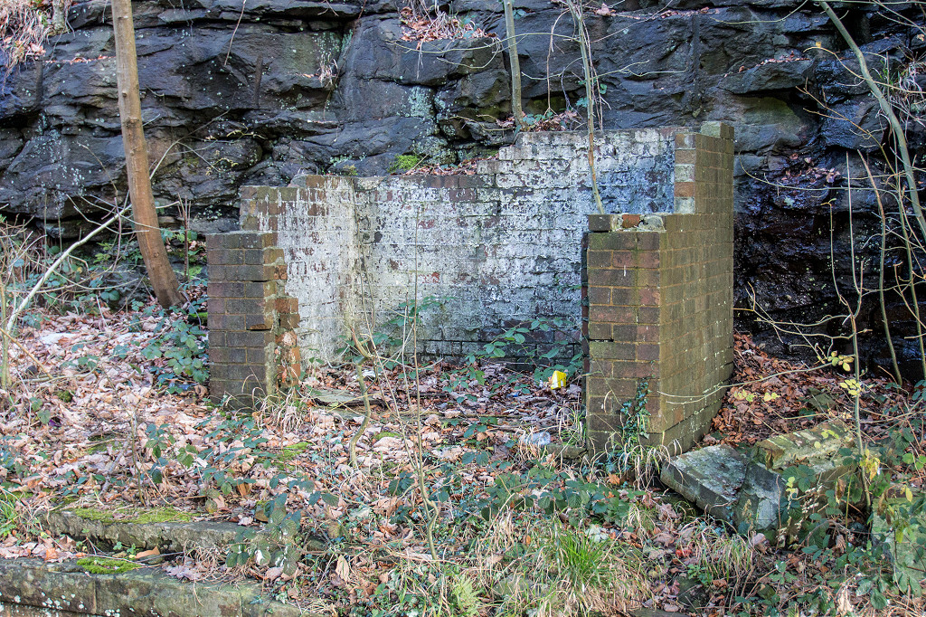
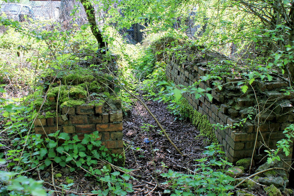
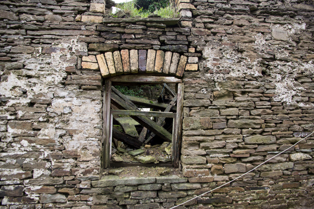
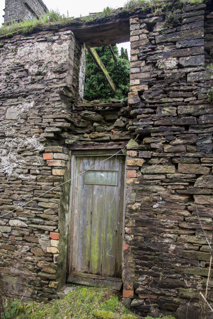
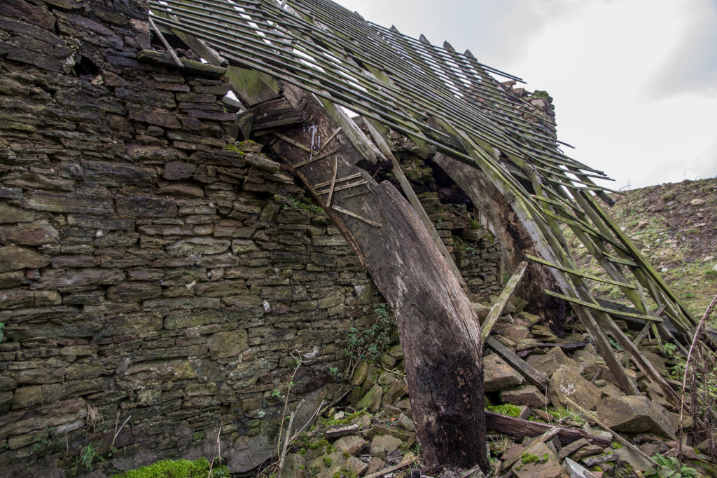
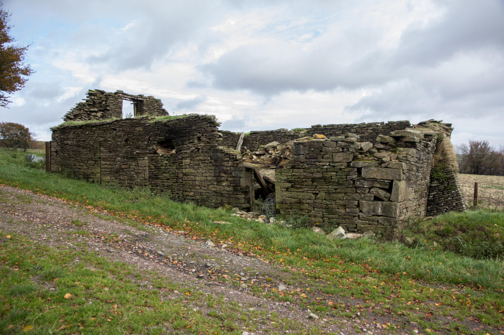
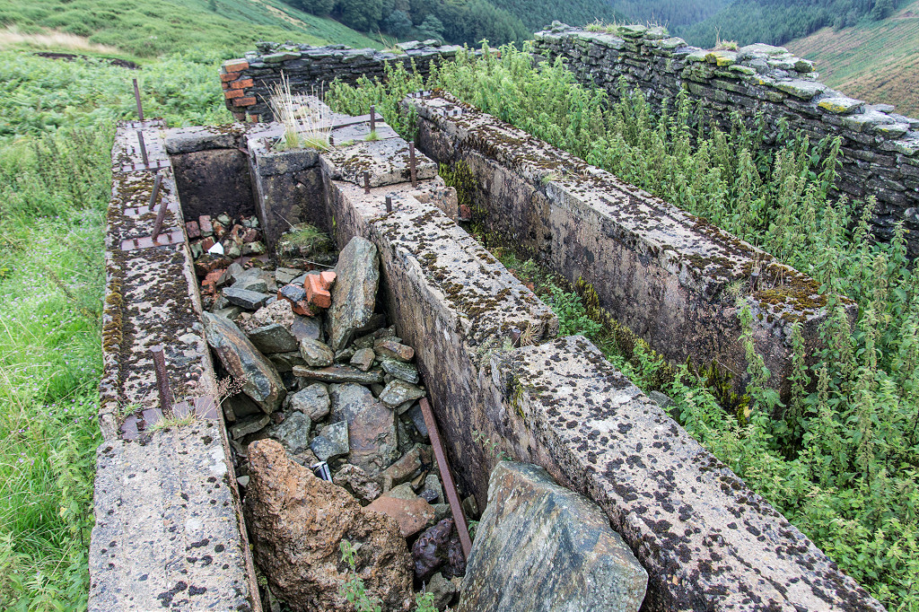
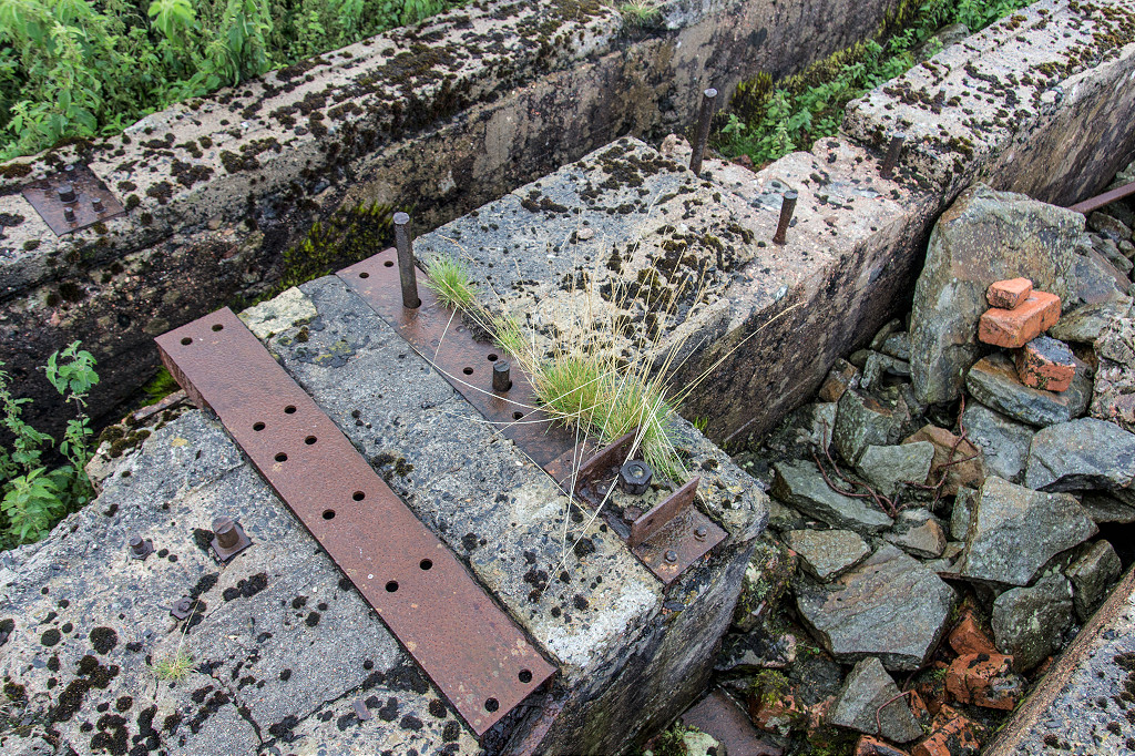
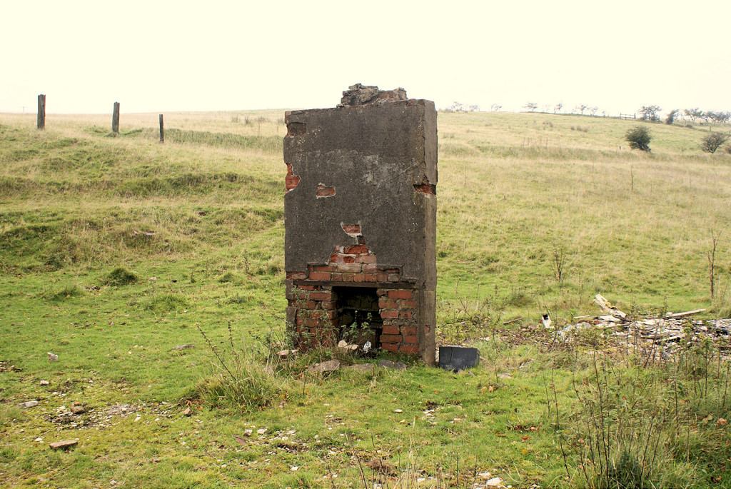
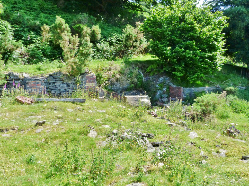
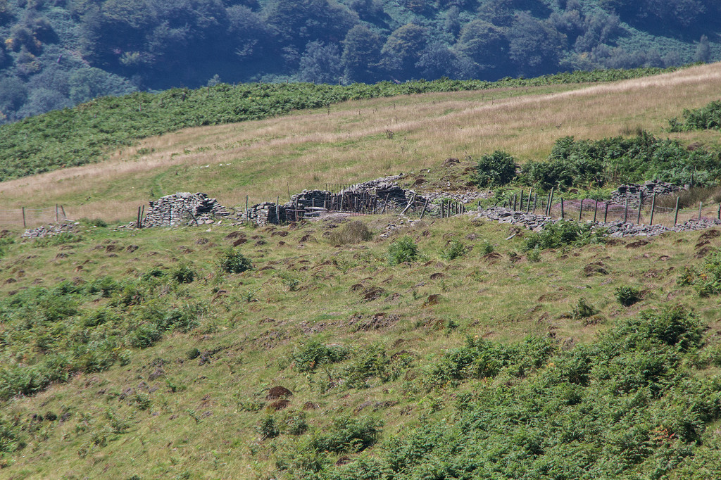
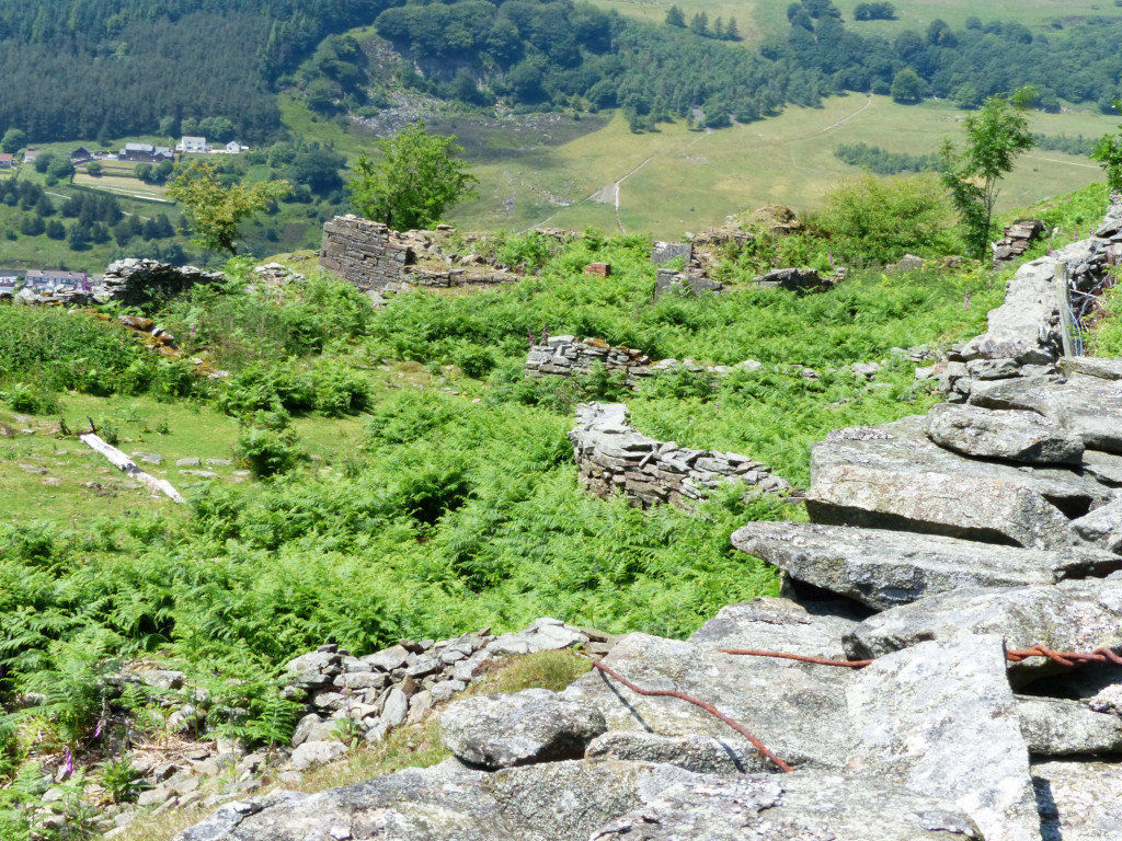
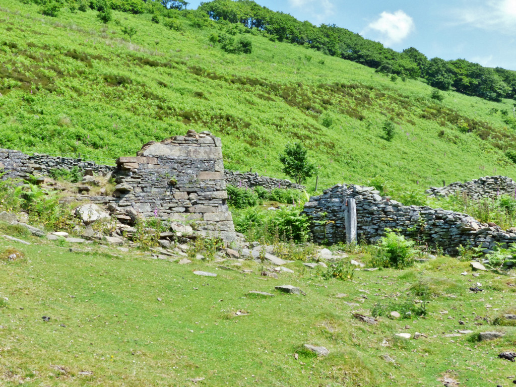
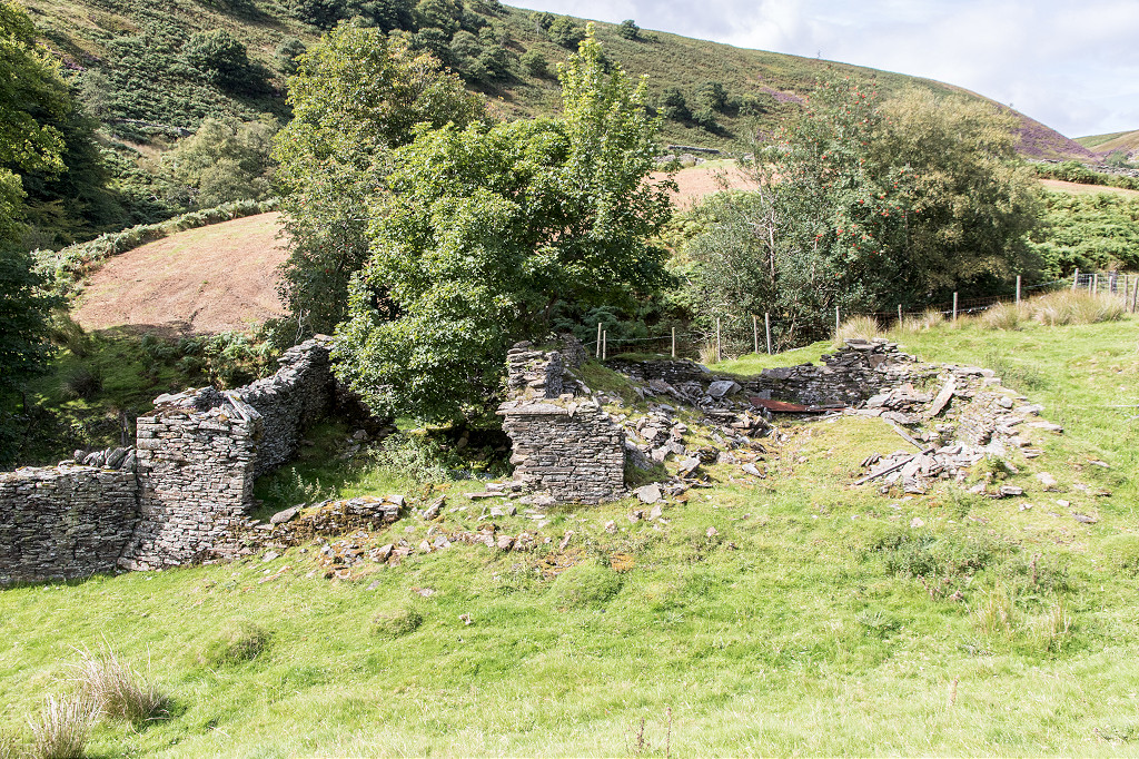
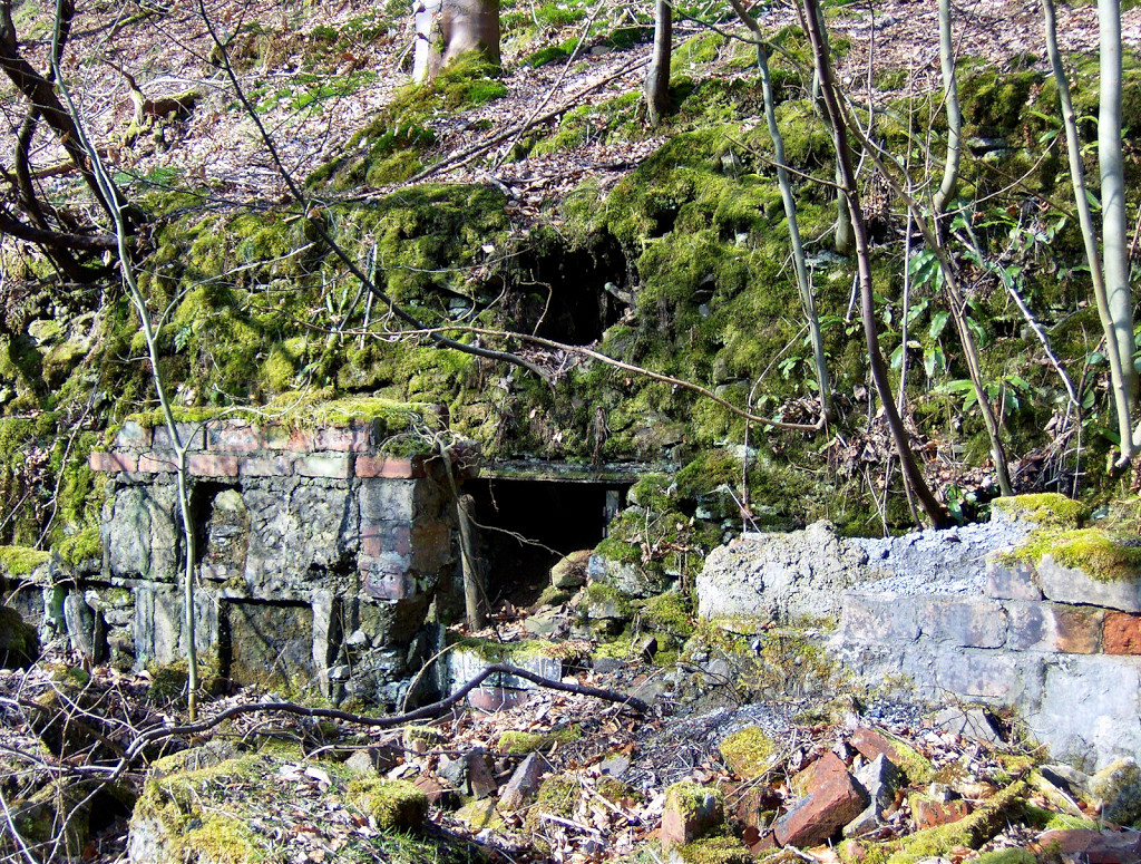 Ruins near the Ivorites |
 Ruins near the Ivorites |
 Ruins near the Ivorites |
 Ruins near the Ivorites |
 Ruins near the Ivorites |
 Ruins near the Ivorites |
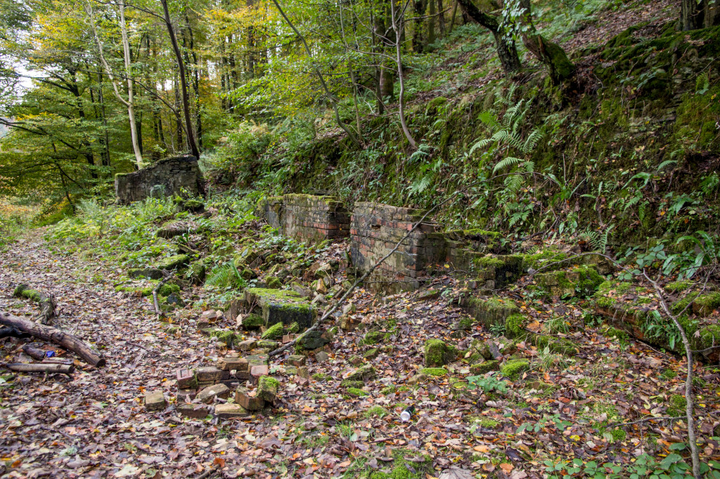 Ruins near the Ivorites |
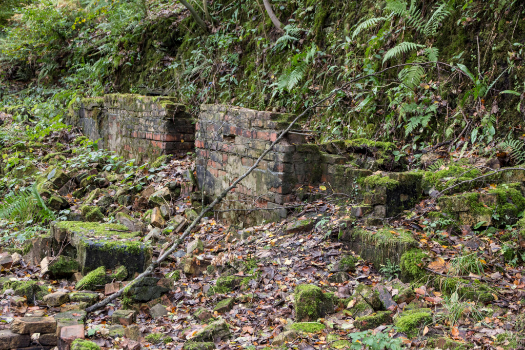 Ruins near the Ivorites |
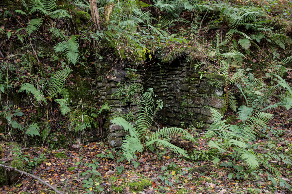 Ruins near the Ivorites |
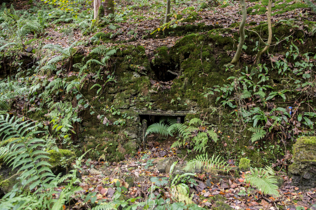 Ruins near the Ivorites |
 Ruins near the Ivorites |
 Ruins near the Ivorites |
 Ruins near the Ivorites |
 Ruins near the Ivorites |
 Ruins near the Ivorites |
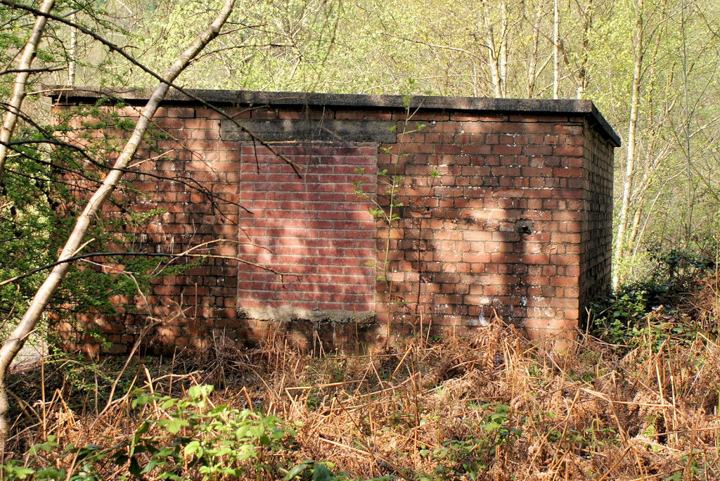
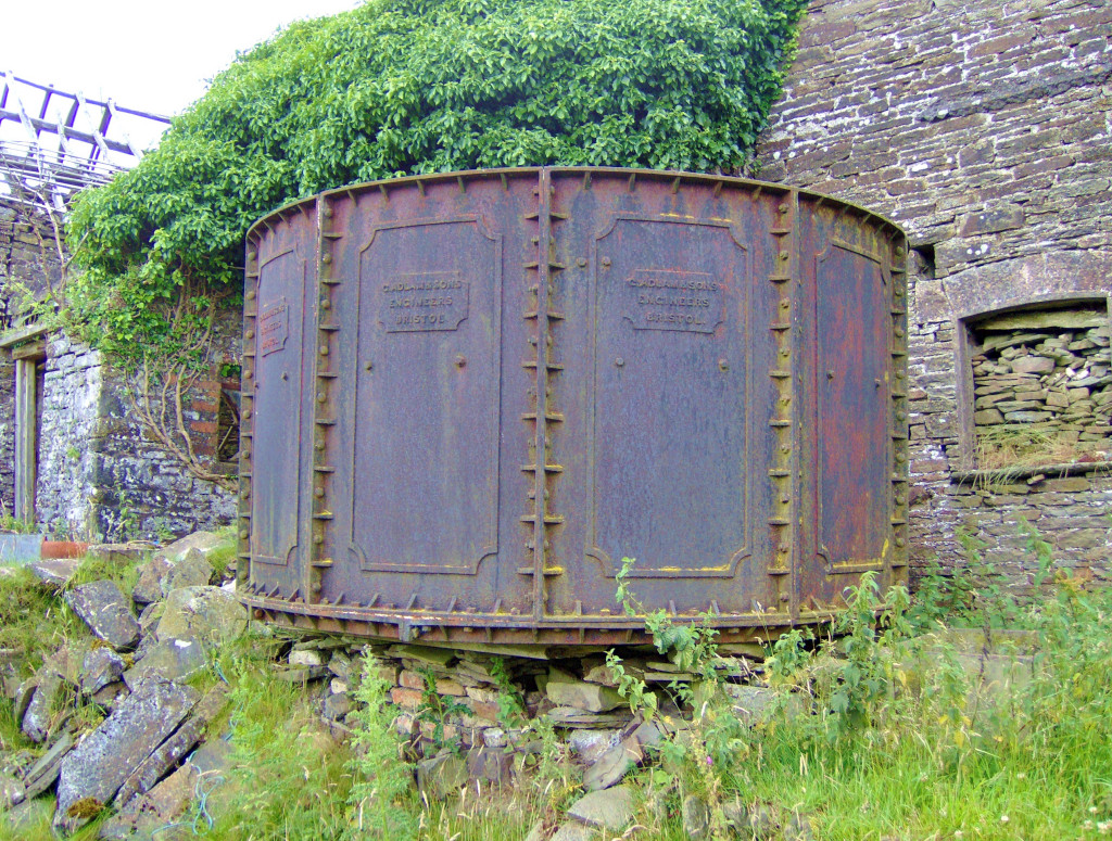
 Webbs Brewery water tank |
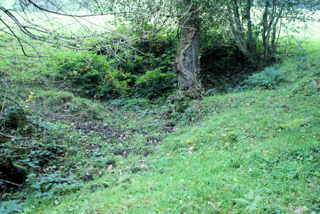
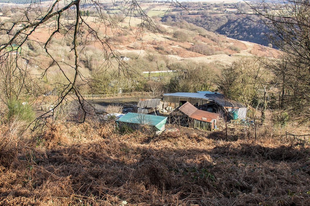
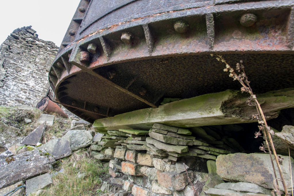
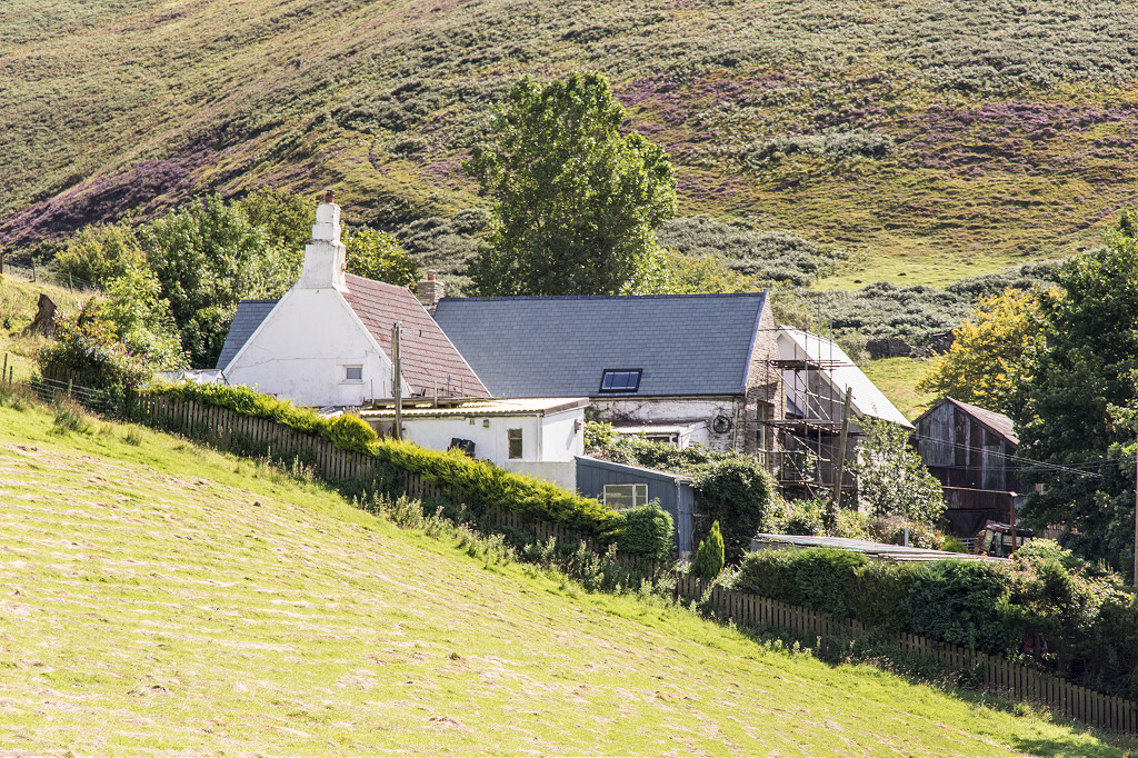
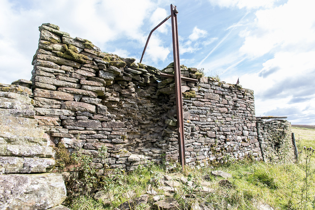
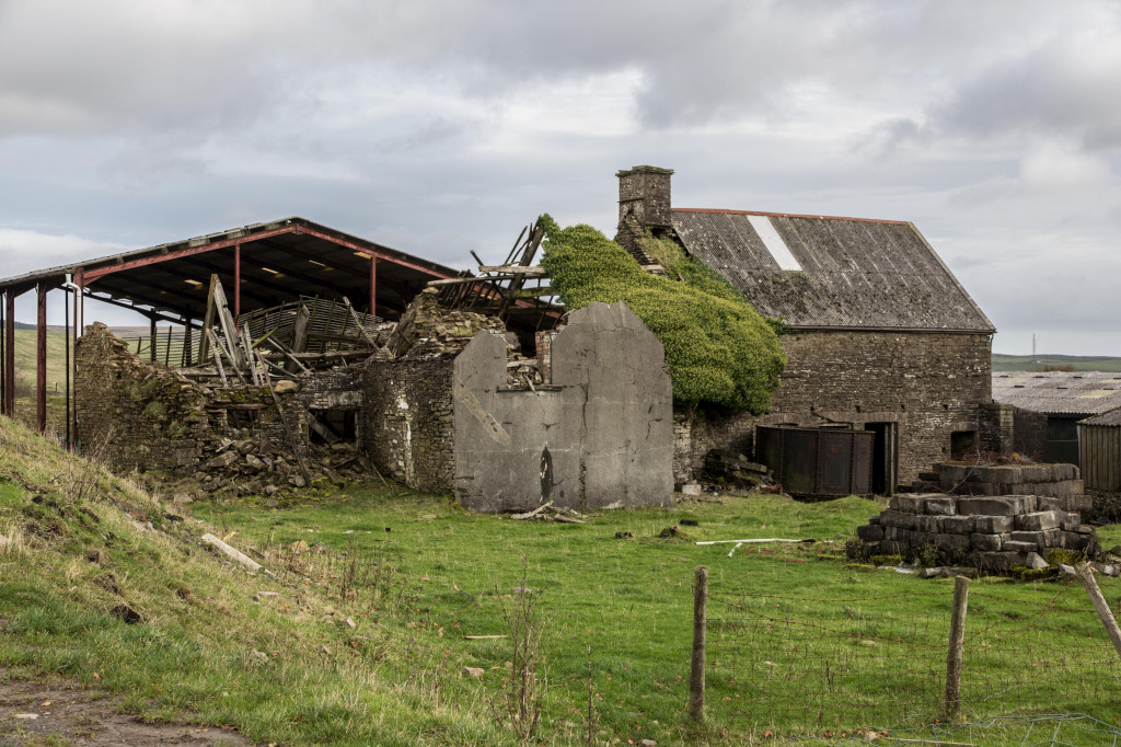 Hafod-y-dafal Farm |
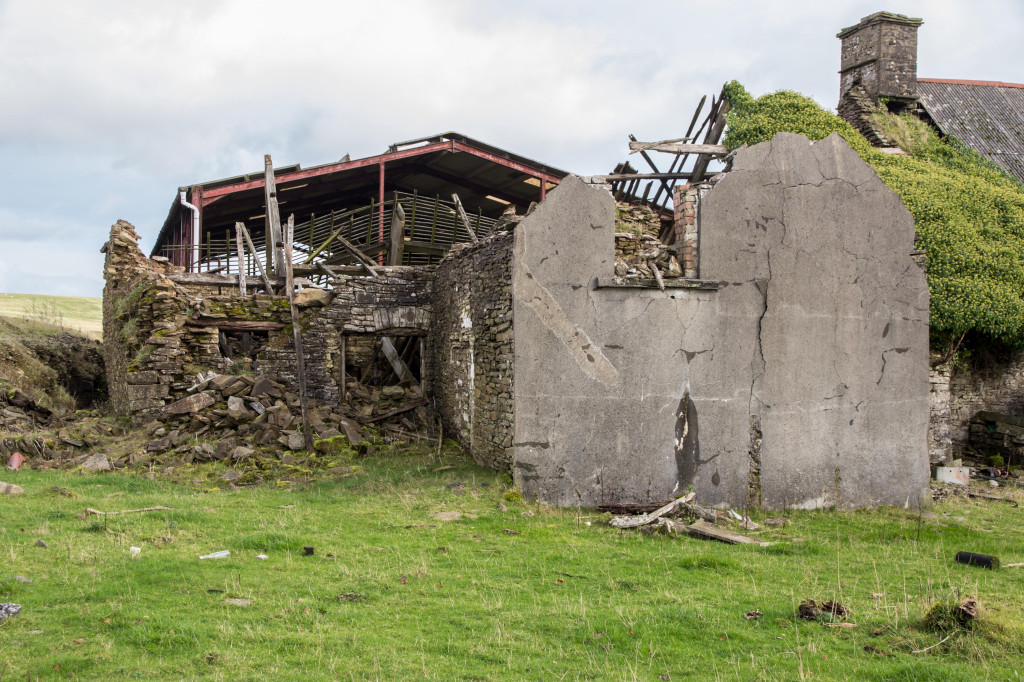 Hafod-y-dafal Farm |
 Hafod-y-dafal Farm |
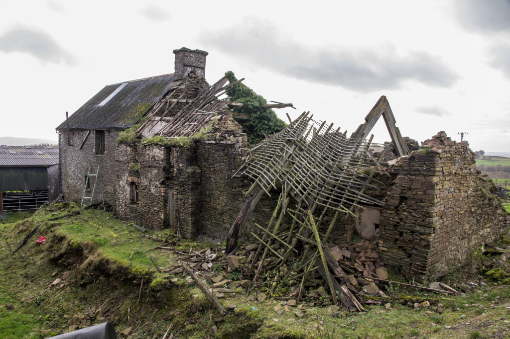 Hafod-y-dafal Farm |
 Hafod-y-dafal Farm |
 Hafod-y-dafal Farm |
 Hafod-y-dafal Farm |
 Hafod-y-dafal Farm |
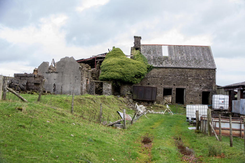 Hafod-y-dafal Farm |
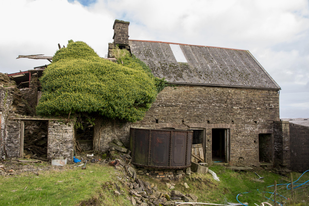
 Hafod-y-dafal brewers vat |
 Hafod-y-dafal brewers vat |
 Hafod-y-dafal brewers vat |
 Hafod-y-dafal brewers vat |
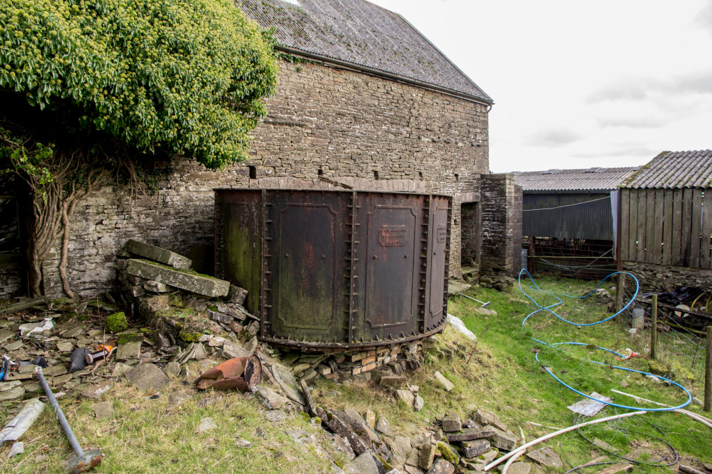 Hafod-y-dafal brewers vat |
 Hafod-y-dafal brewers vat |
|
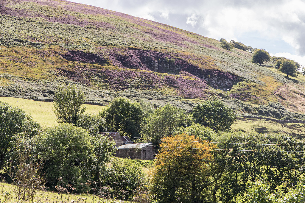
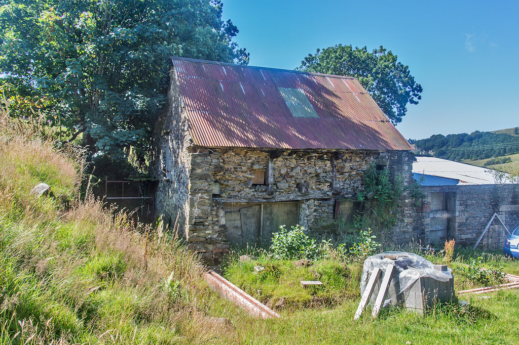
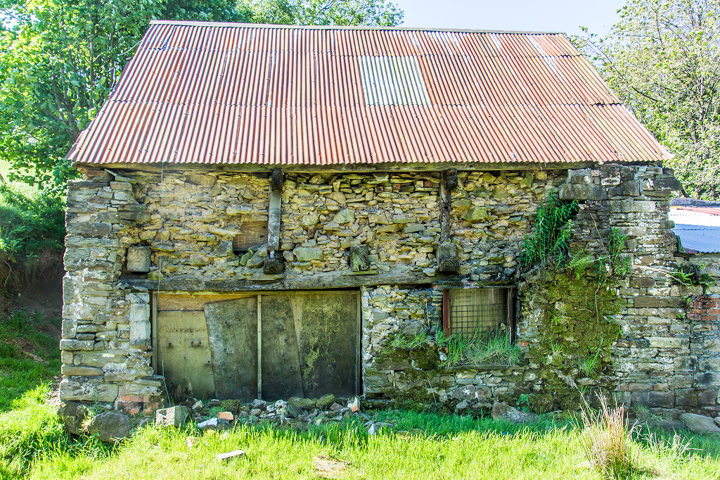
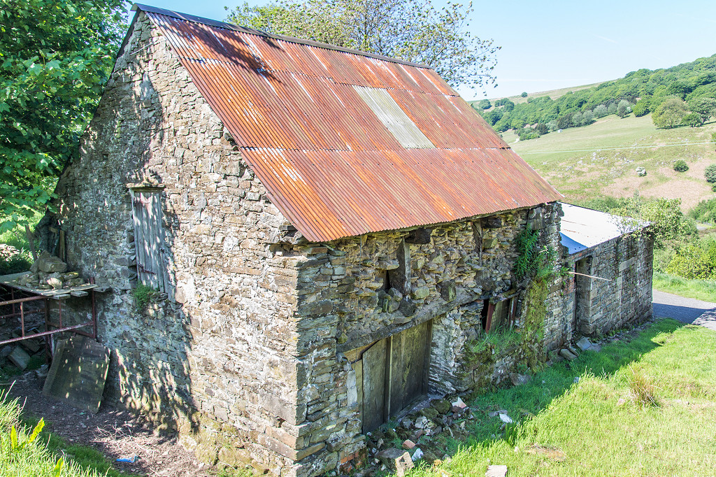
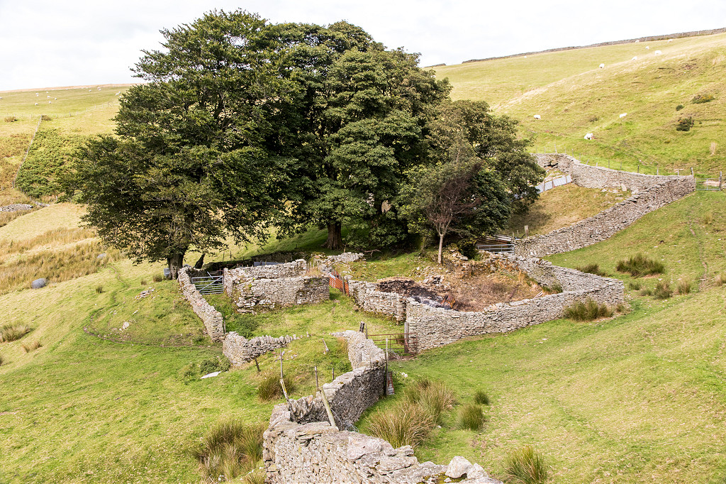
 Pen-rhiw-lech barn |
 Pen-rhiw-lech barn |
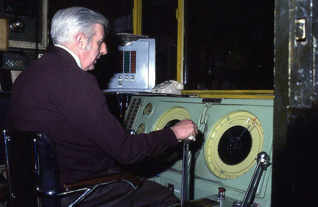
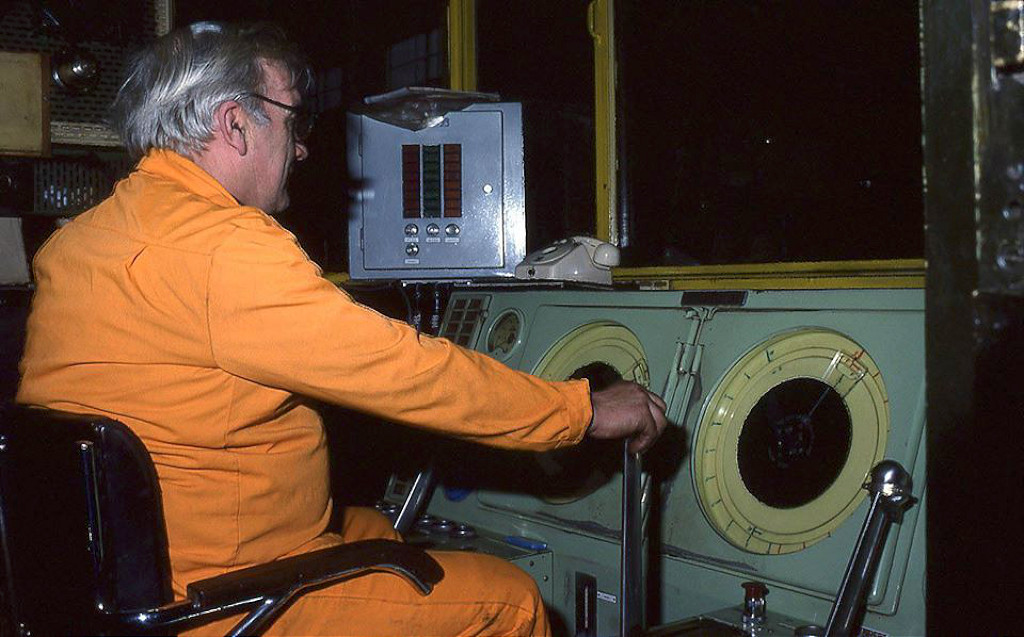
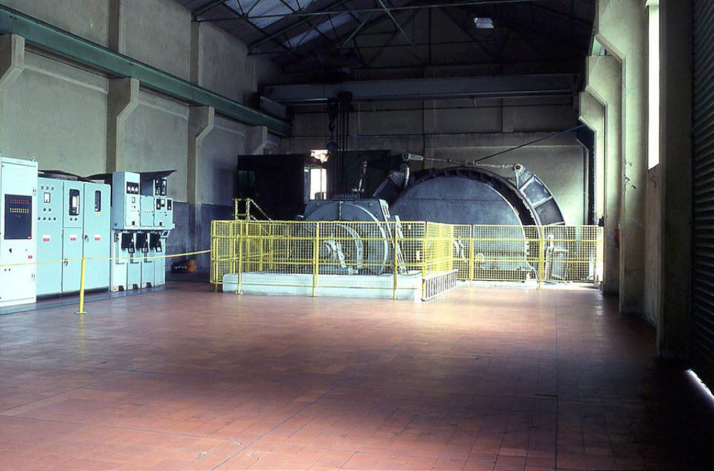
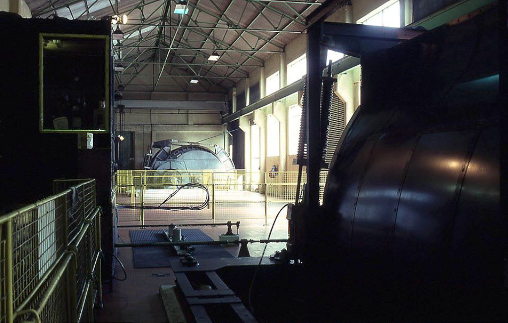
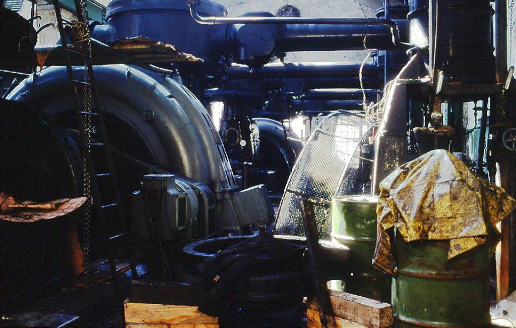
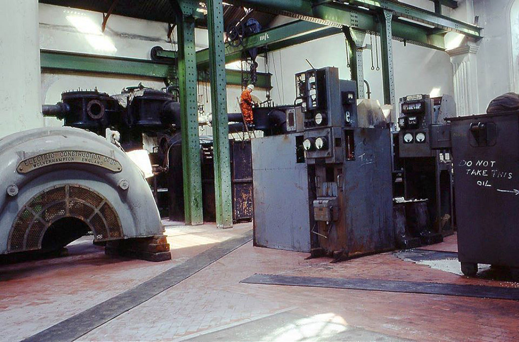
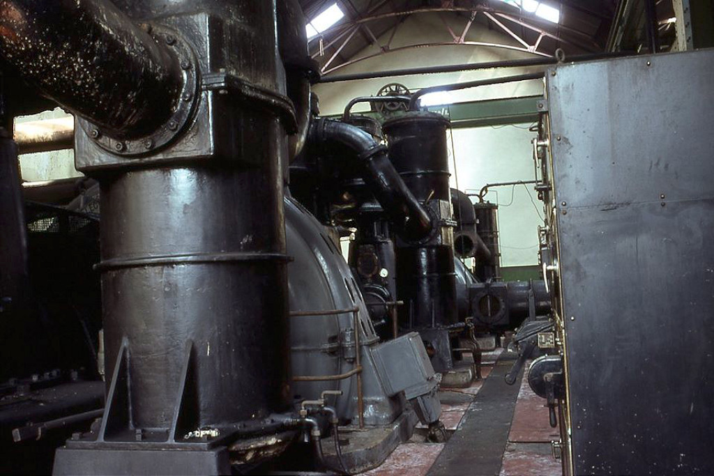
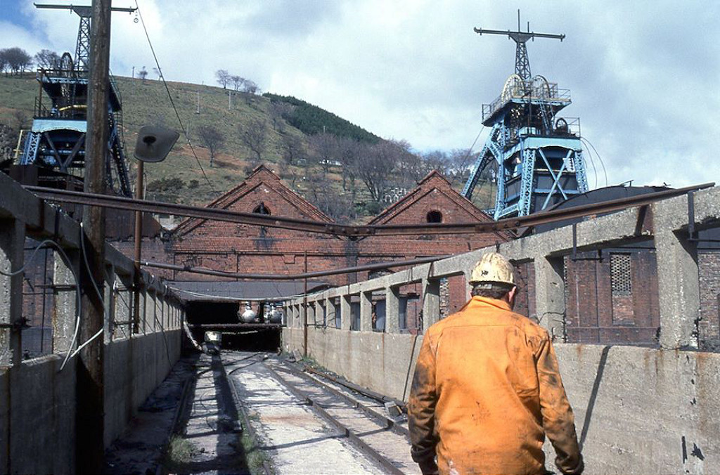
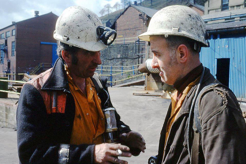
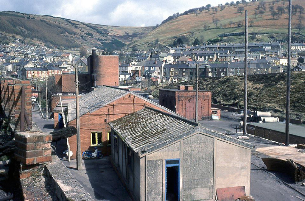
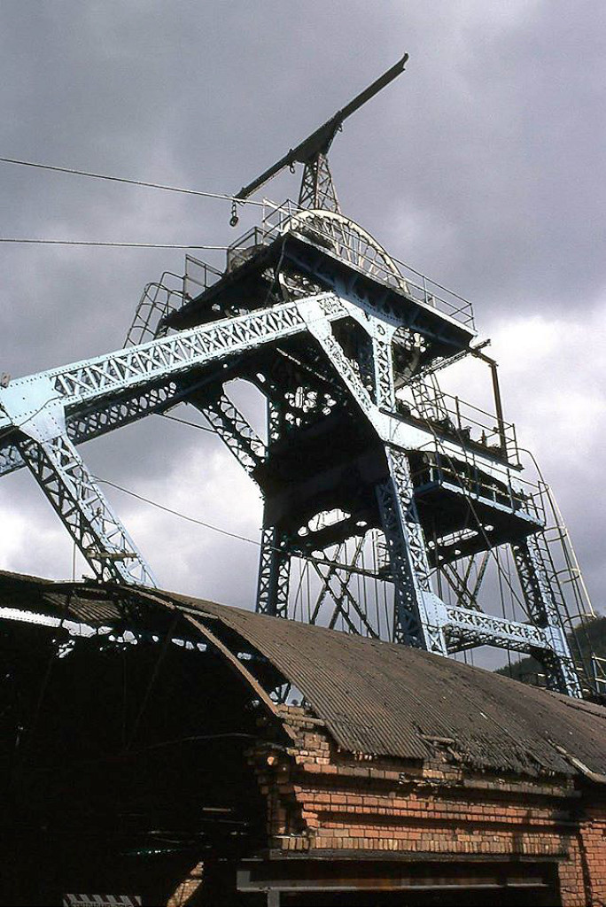
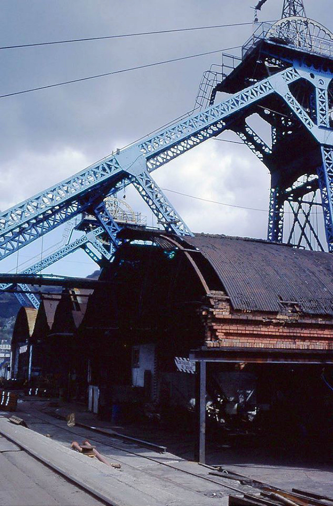
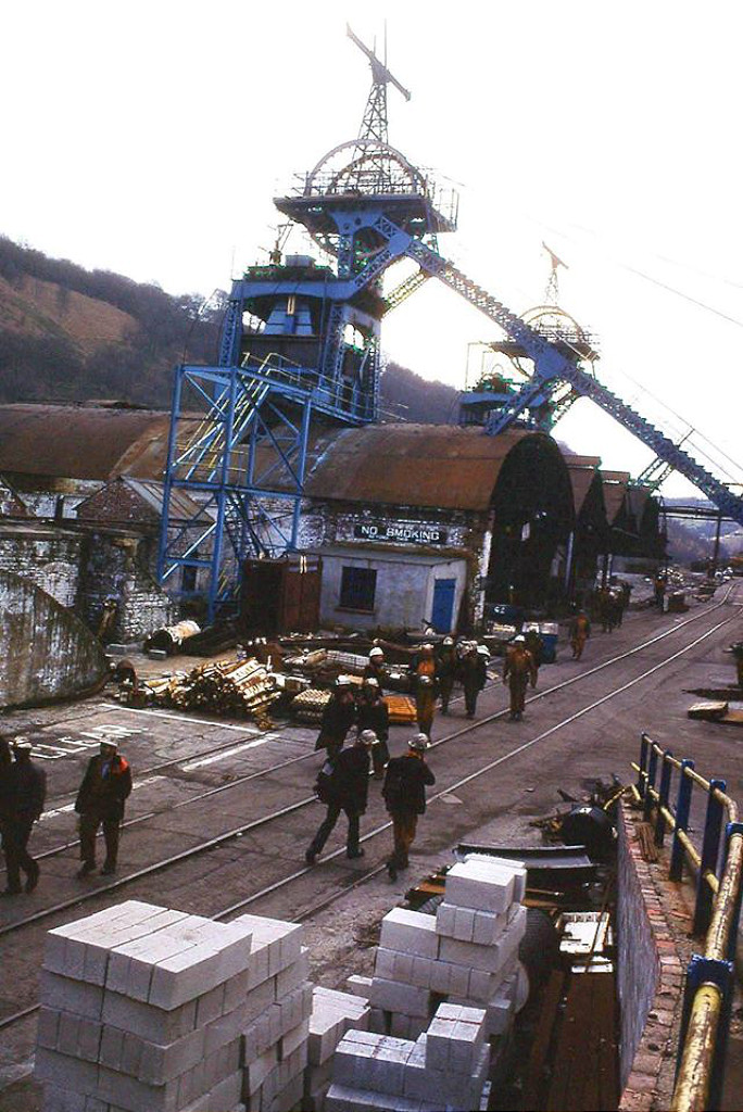
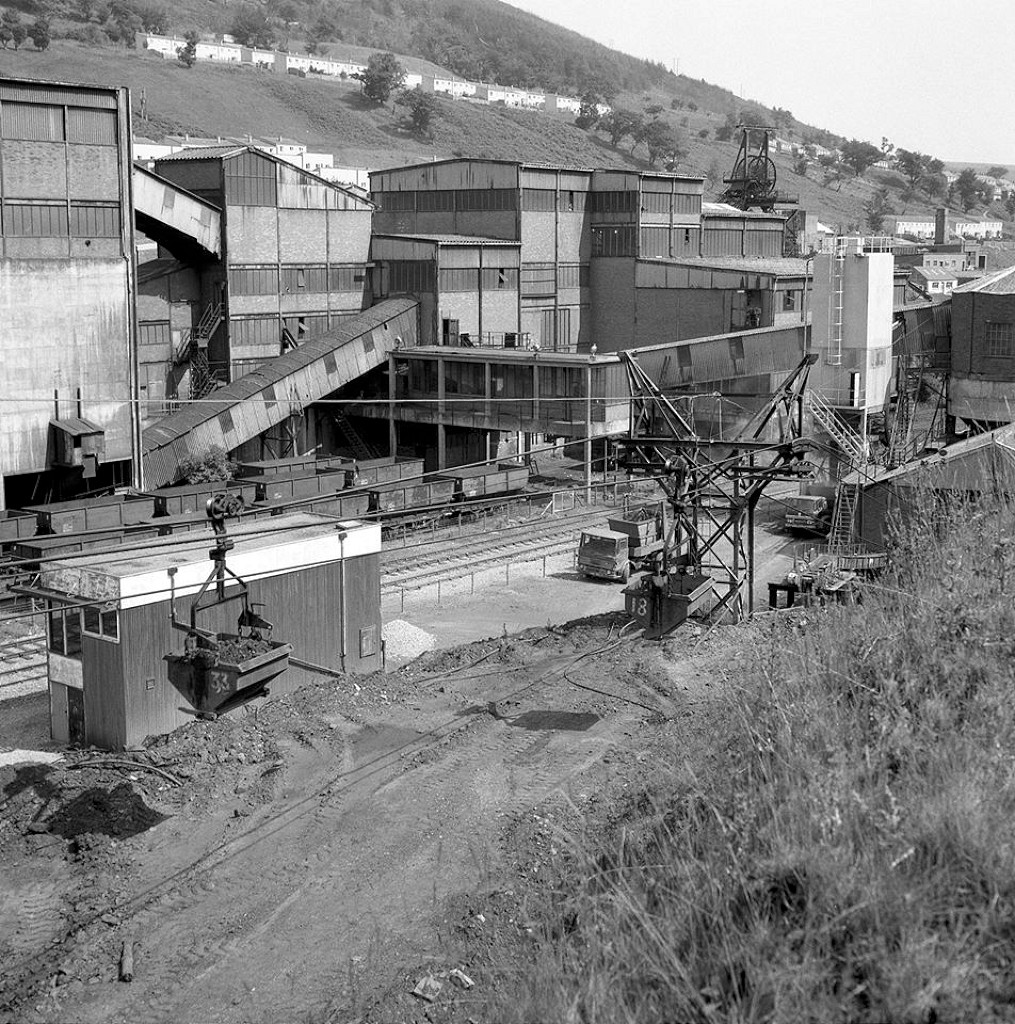
 Six Bells Colliery in 1980 |
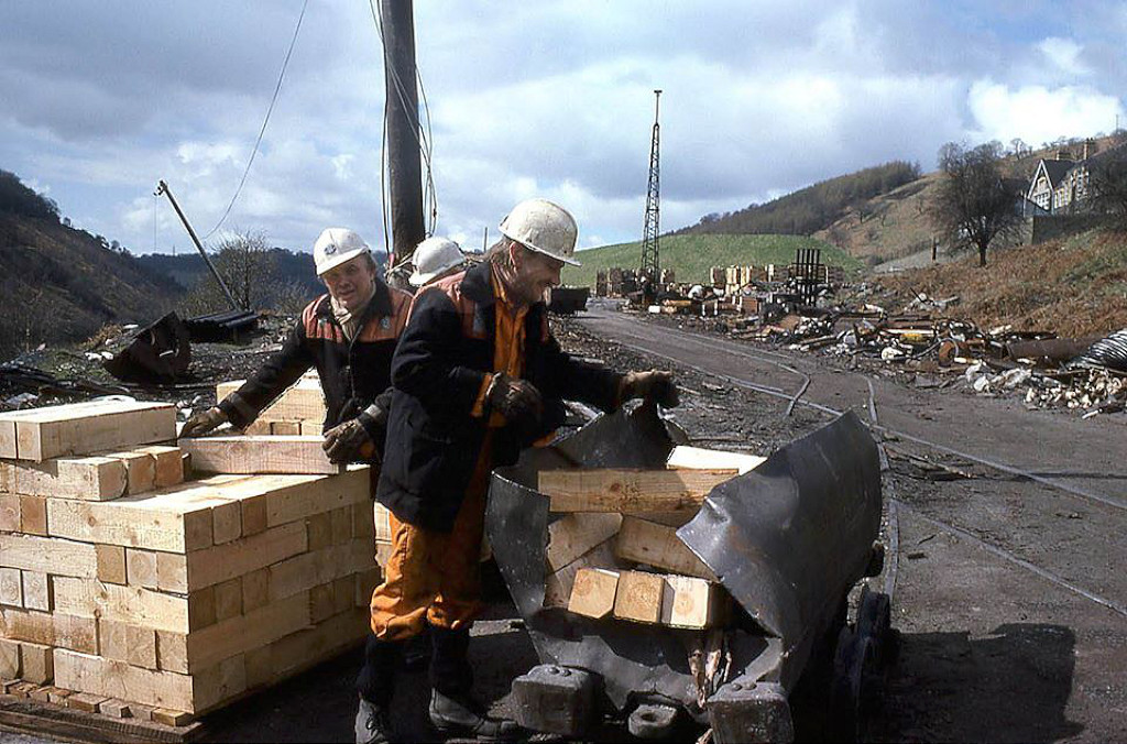 Six Bells Colliery in 1980 |
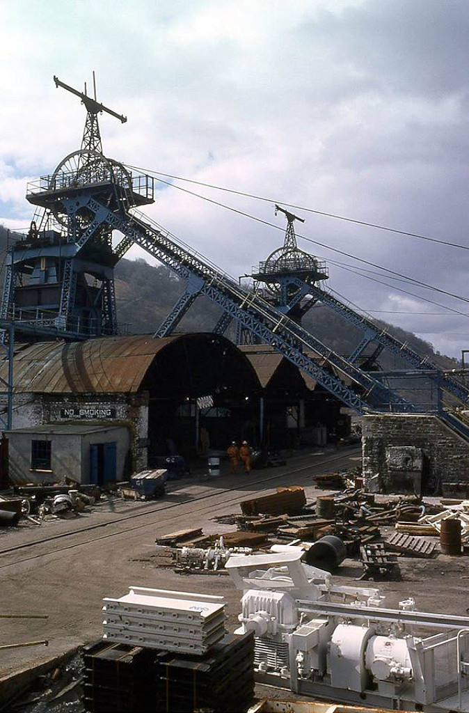 Six Bells Colliery in 1980 |
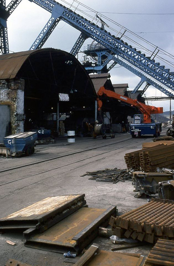 Six Bells Colliery in 1980 |
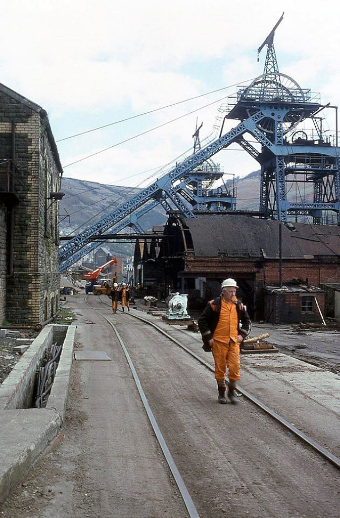 Six Bells Colliery in 1980 |
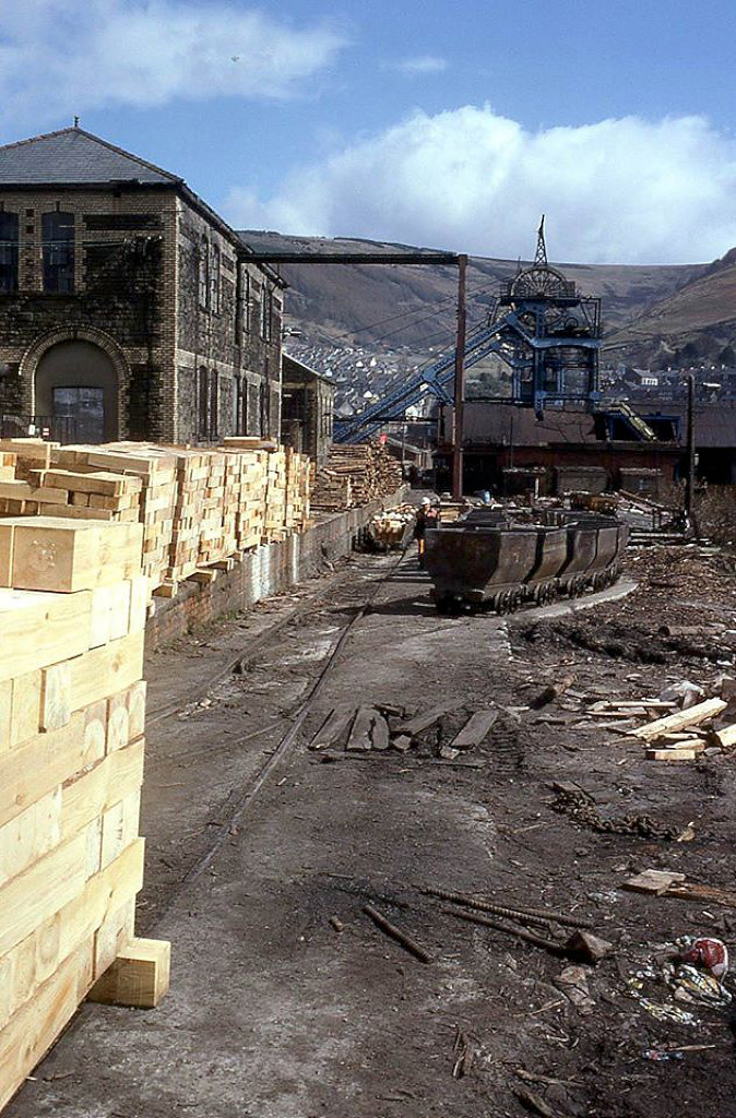 Six Bells Colliery in 1980 |
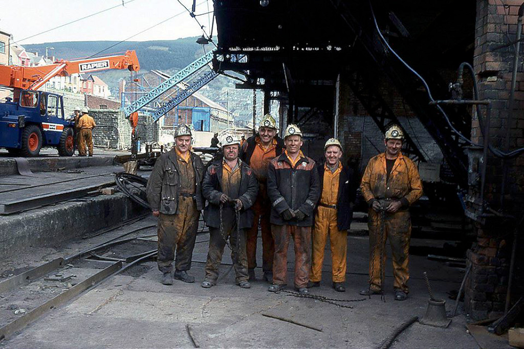 Six Bells Colliery in 1980 |
 Six Bells Colliery in 1980 |
 Six Bells Colliery in 1980 |
 Six Bells Colliery in 1980 |
 Six Bells Colliery in 1980 |
 Six Bells Colliery in 1980 |
 Six Bells Colliery in 1980 |
 Six Bells Colliery in 1980 |
 Six Bells Colliery in 1980 |
 Six Bells Colliery in 1980 |
 Six Bells Colliery in 1980 |
 Six Bells Colliery in 1980 |
 Six Bells Colliery in 1980 |
 Six Bells Colliery in 1980 |
 Six Bells Colliery in 1980 |
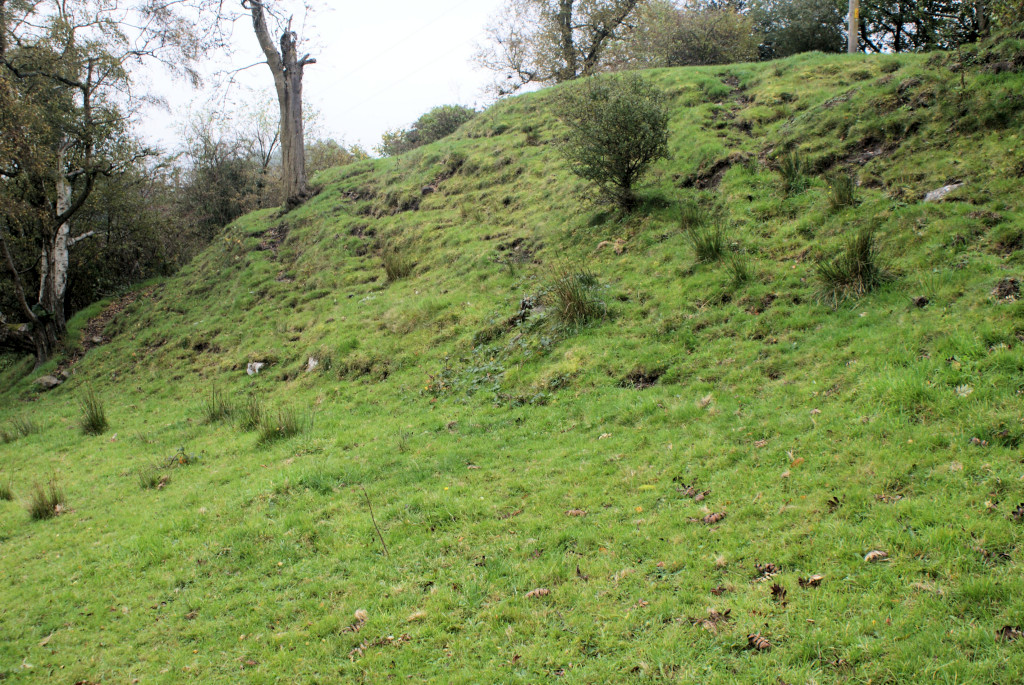
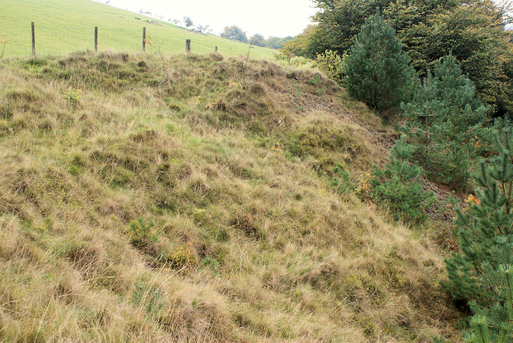
 Arail tip reclamation |
 Arail tip reclamation |
 Arail tip reclamation |
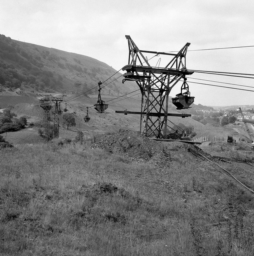
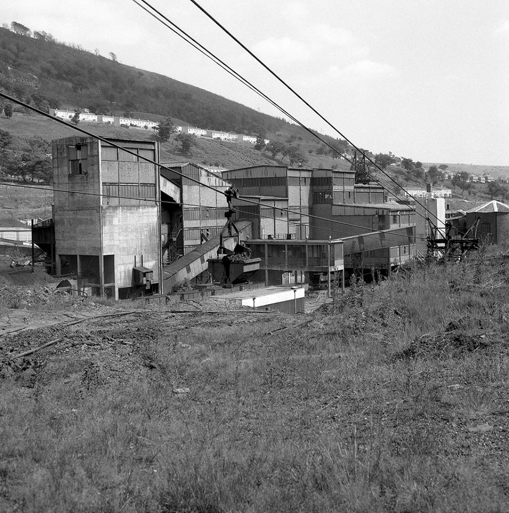
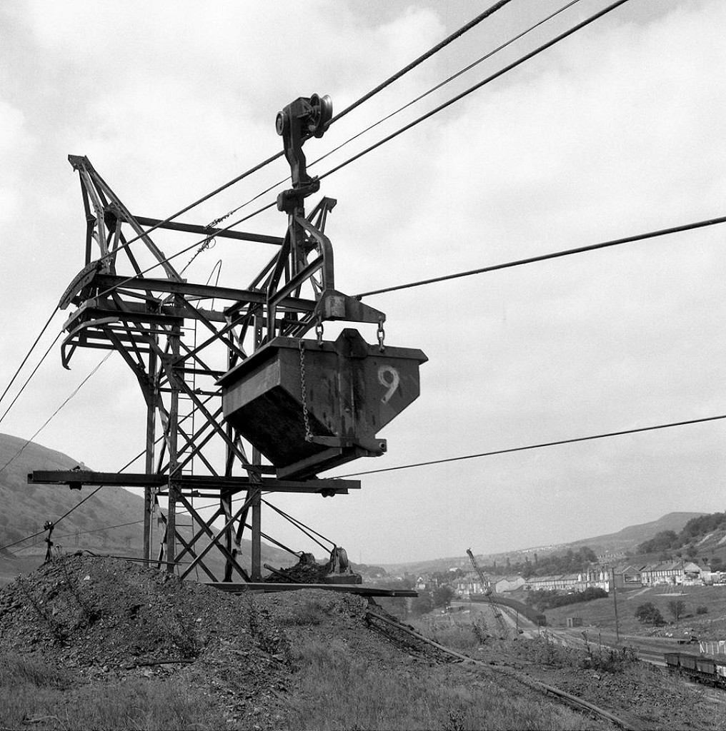
 Aerial ropeway to the Arail tips |
 Aerial ropeway to the Arail tips |
 Aerial ropeway to the Arail tips |
 Aerial ropeway to the Arail tips |
 Aerial ropeway to the Arail tips |
 Aerial ropeway to the Arail tips |
 Aerial ropeway to the Arail tips |
 Aerial ropeway to the Arail tips |
 Aerial ropeway to the Arail tips |
 Chapel Road bridge |
 Chapel Road bridge |
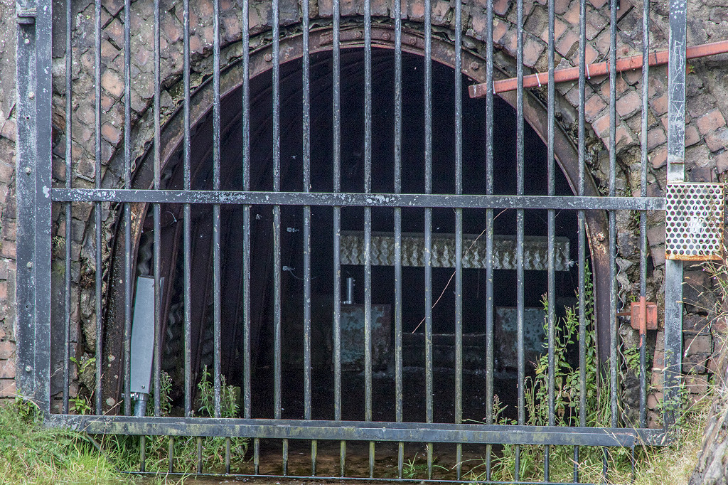
 Six Bells Colliery sidings gate |
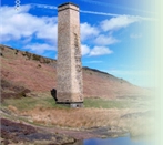
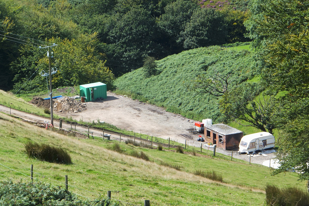
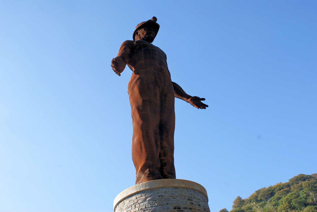 The Guardian of the Valleys |
 The Guardian of the Valleys |
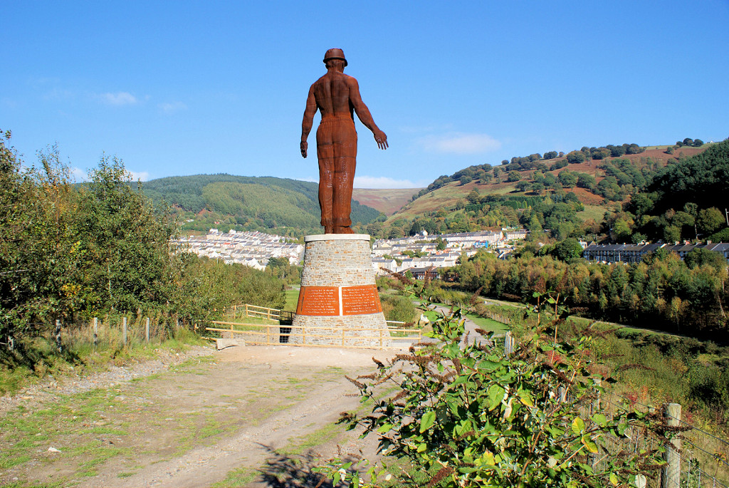 The Guardian of the Valleys |
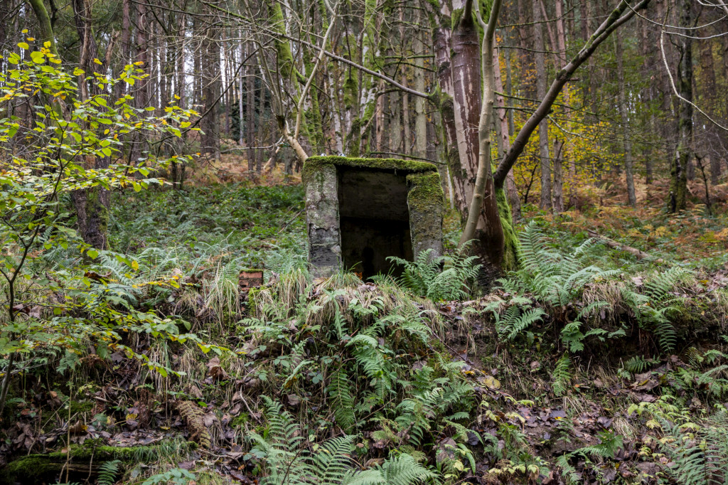
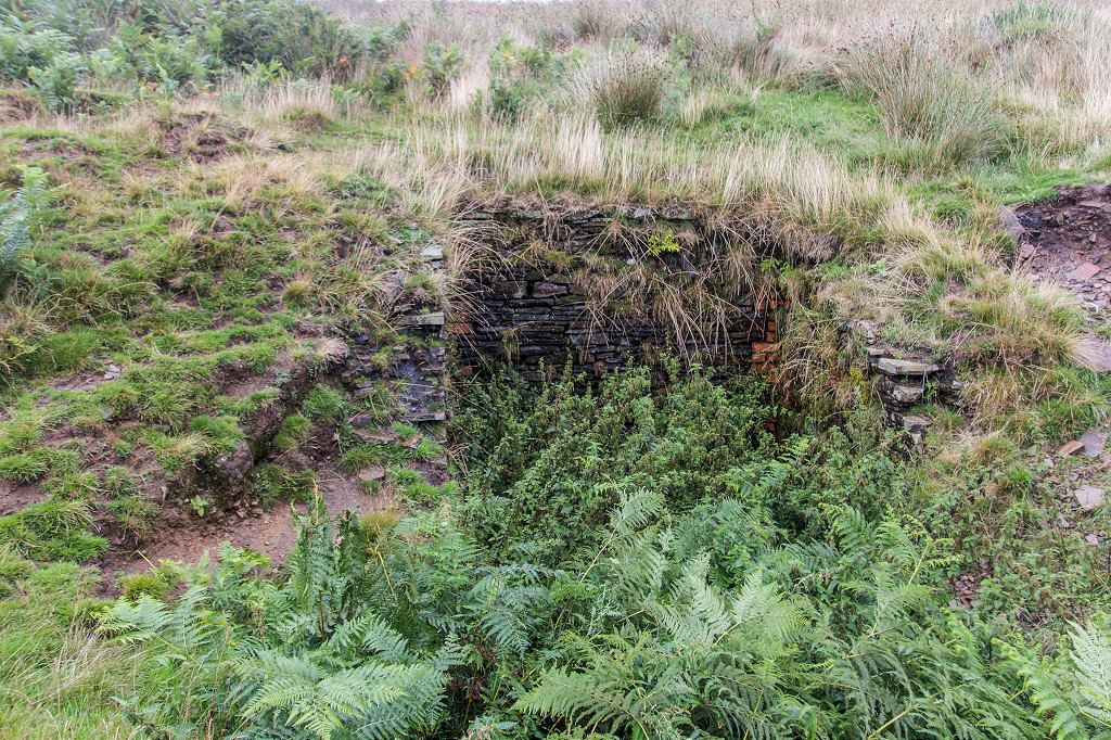
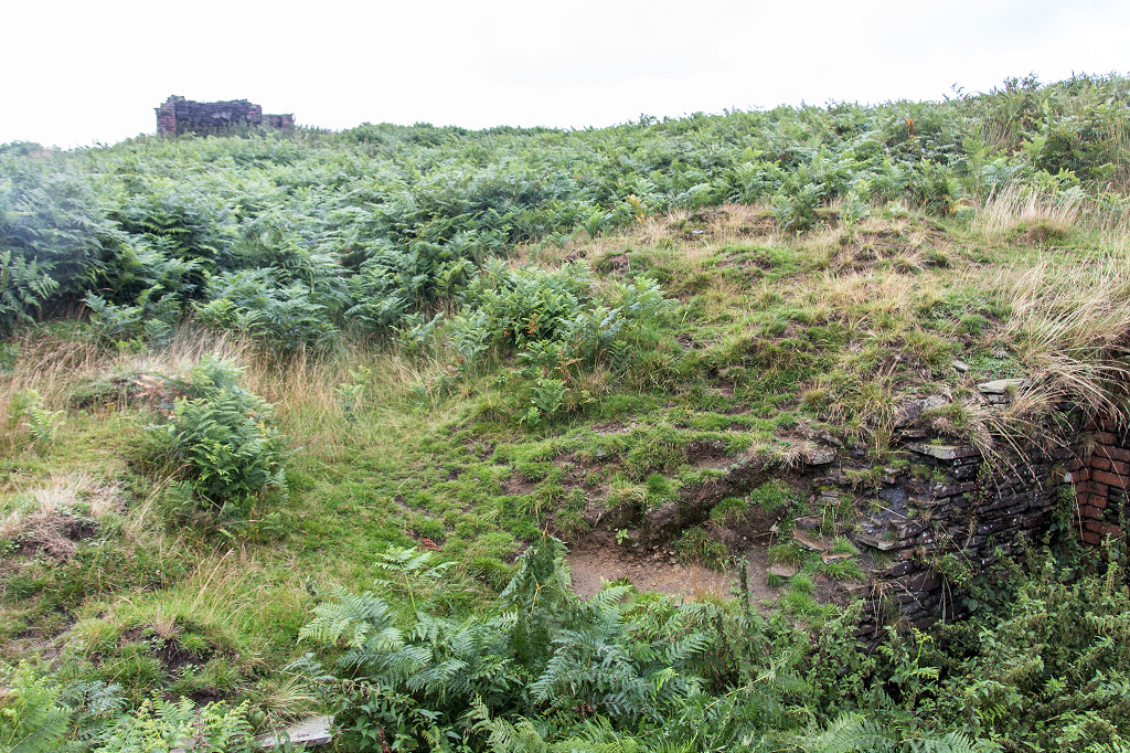
 Hafod Fan Colliery level |
 Hafod Fan Colliery level |
 Hafod Fan Colliery level |
 Track below Blaenllan Bungalow |
 Blaenllan Bungalow ruins |
 Blaenllan Bungalow ruins |
 Blaenllan Bungalow ruins |
 Ty Dafydd level tips, open c1920 |
 Ty Dafydd level tips, open c1920 |
 Gilfach Wen barn |
 Gilfach Wen barn |
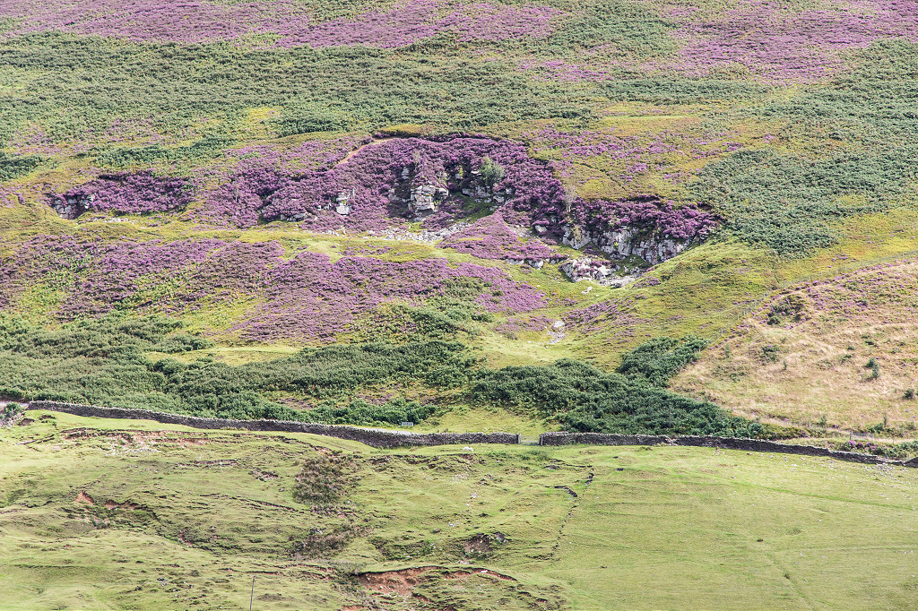
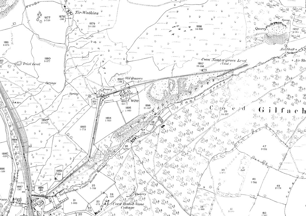 Cwm Nant-y-groes Level, 1880 |
 Cwm Nant-y-groes waterworks |
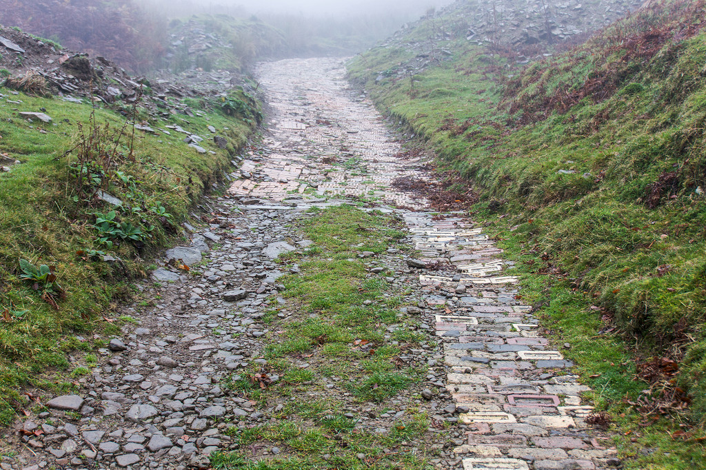 Cwm Nant-y-groes brick lane |
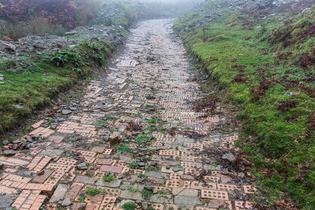 Cwm Nant-y-groes brick lane |
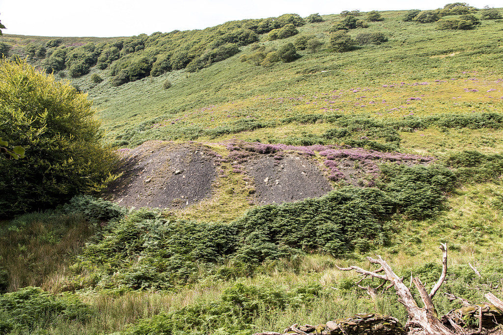
 Rhiw Colbren Colliery tips |
 Rhiw Colbren Colliery tips |
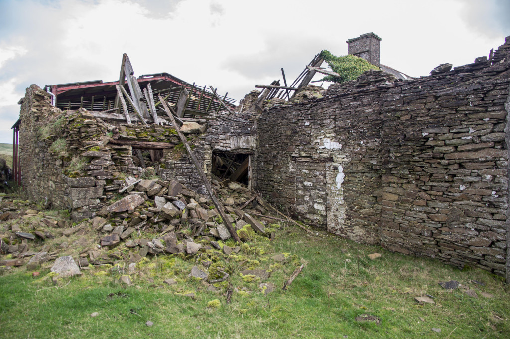
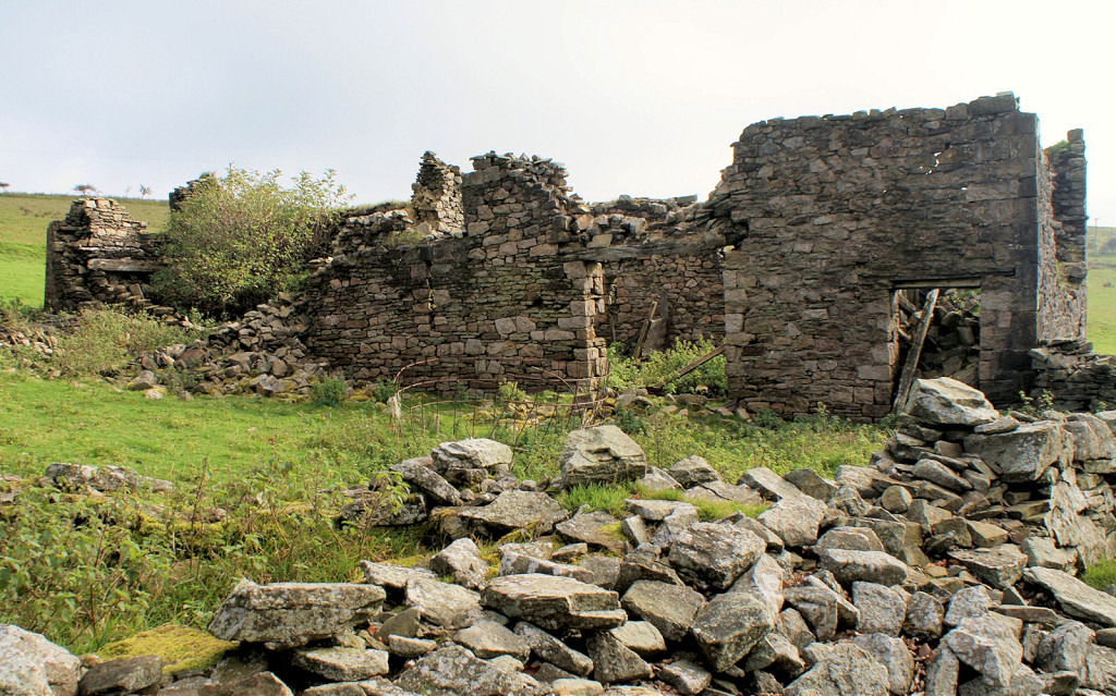
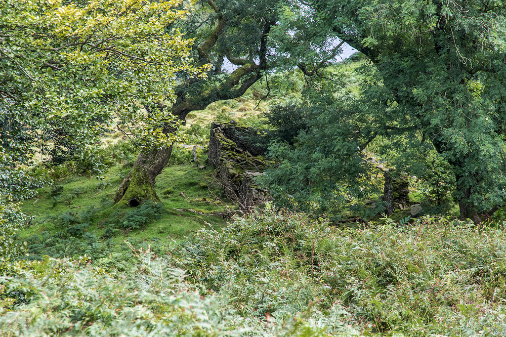
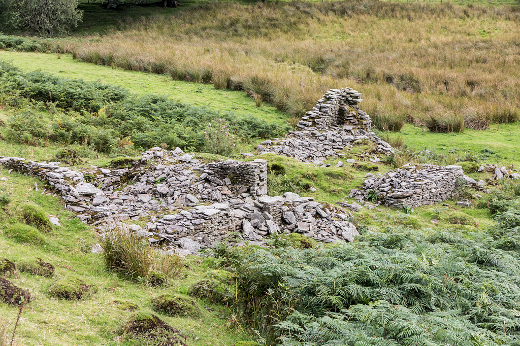
 The ruins of Greenmeadow Farm |
 The ruins of Greenmeadow Farm |
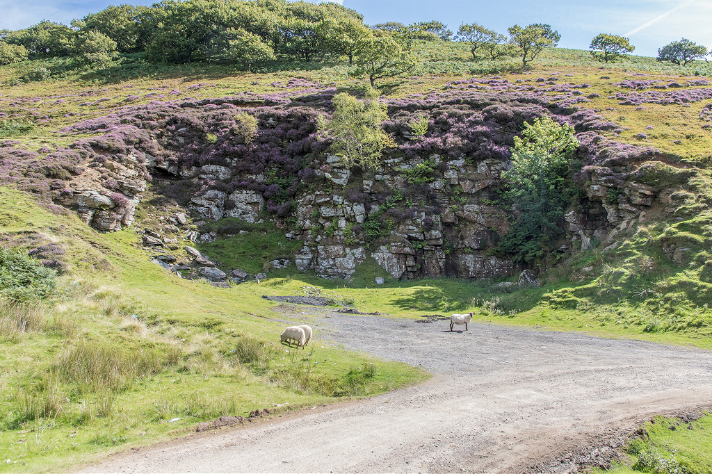
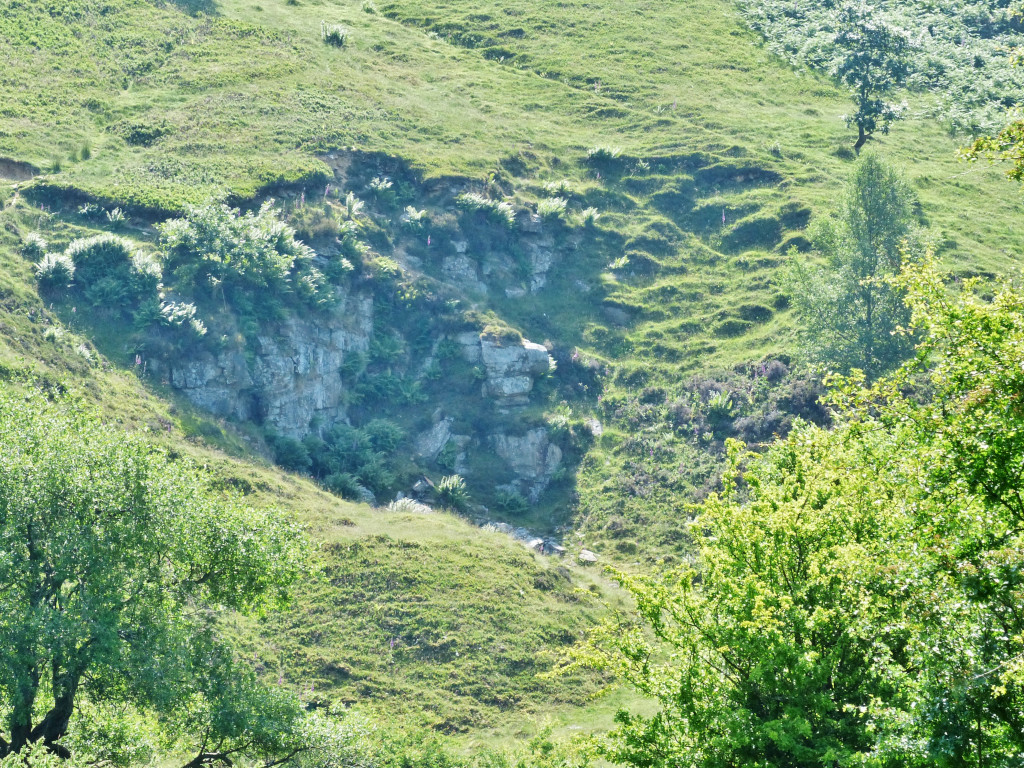 Coedcae-du Quarry |
 Coedcae-du Quarry |
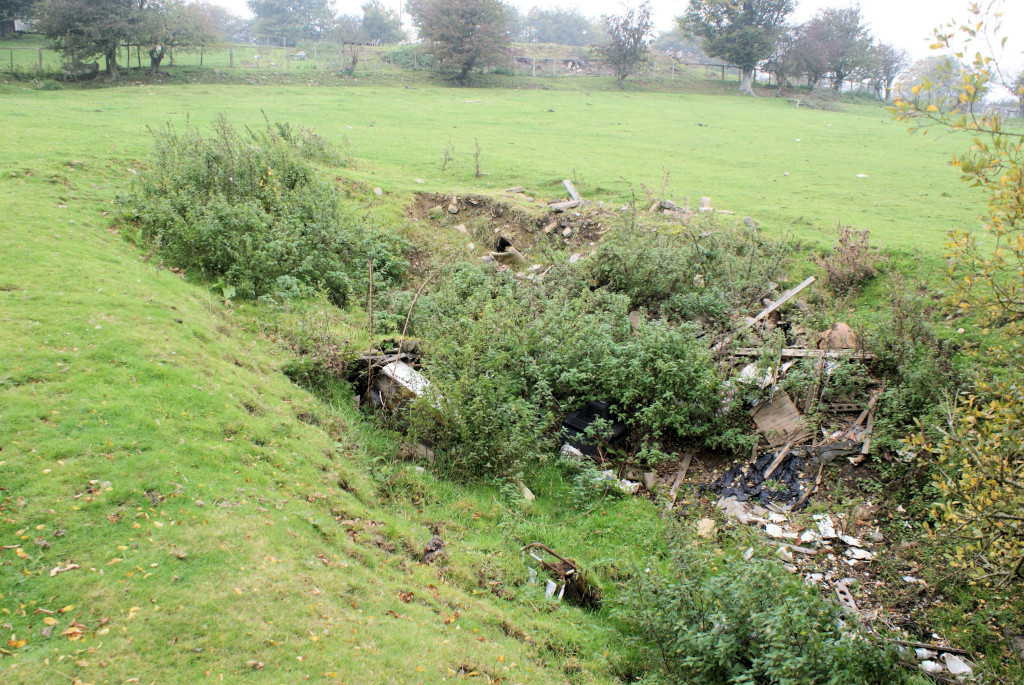
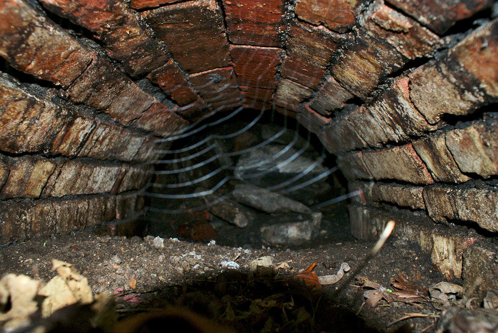
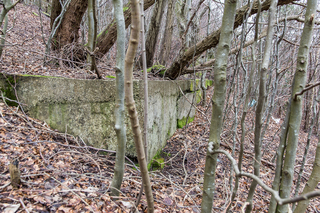
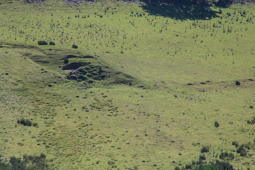
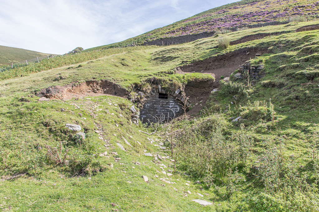
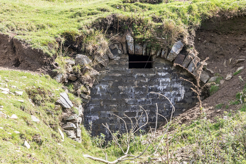
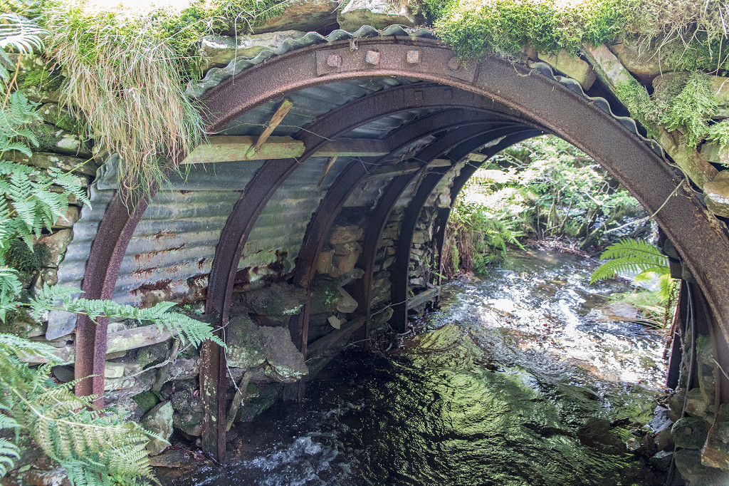
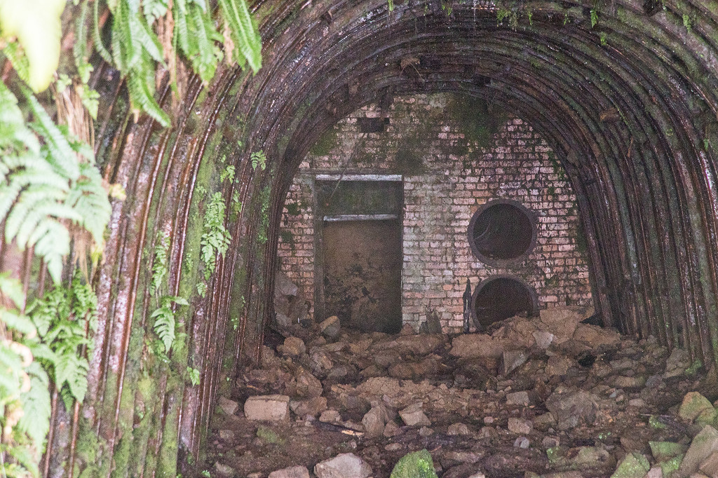
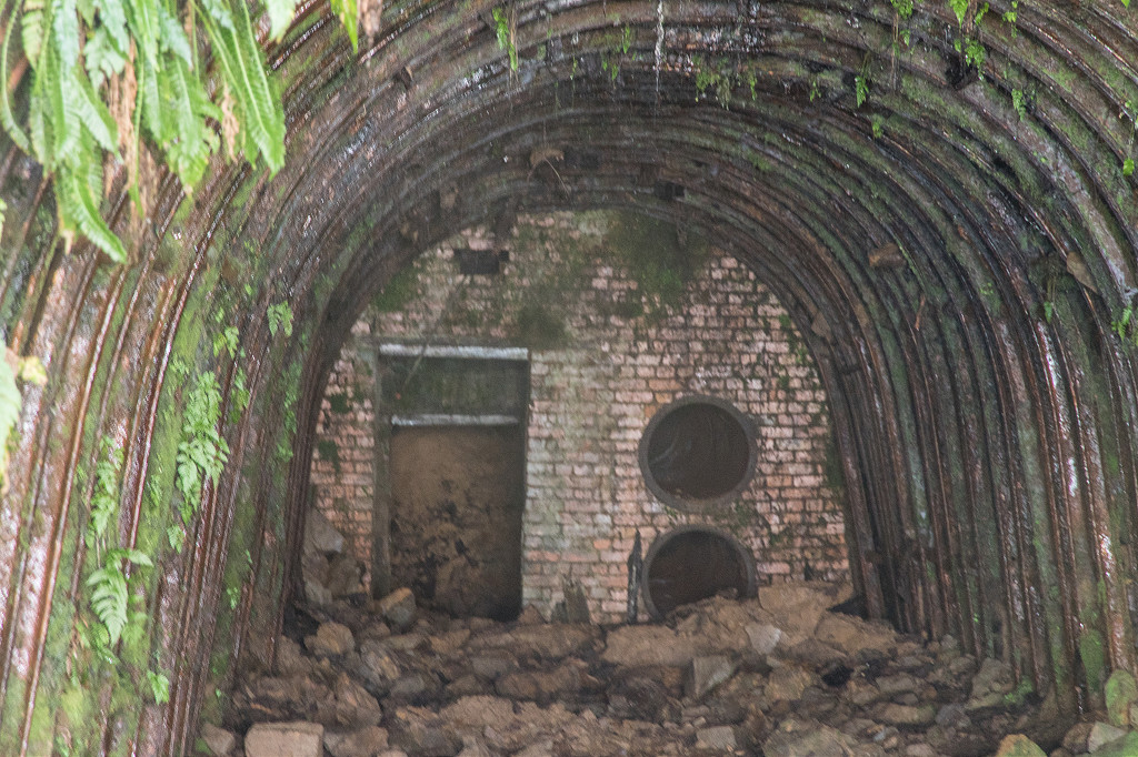
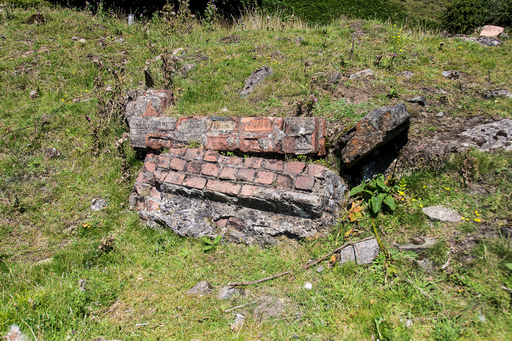 Tillery Level brickwork |
 Tillery Level brickwork |
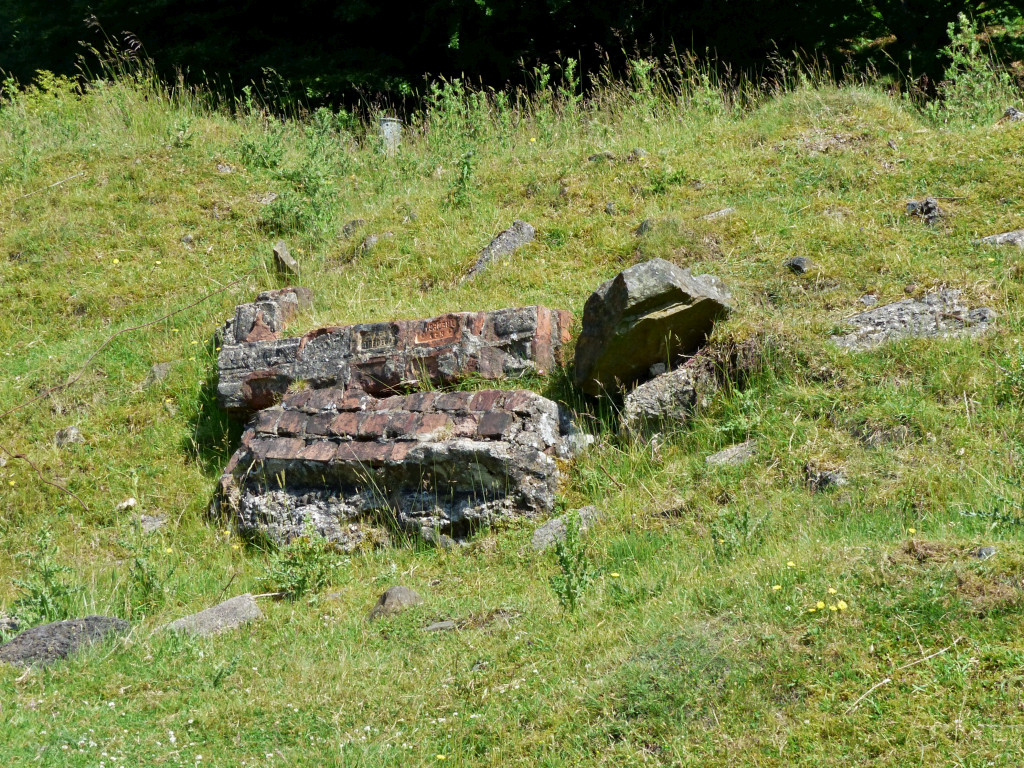
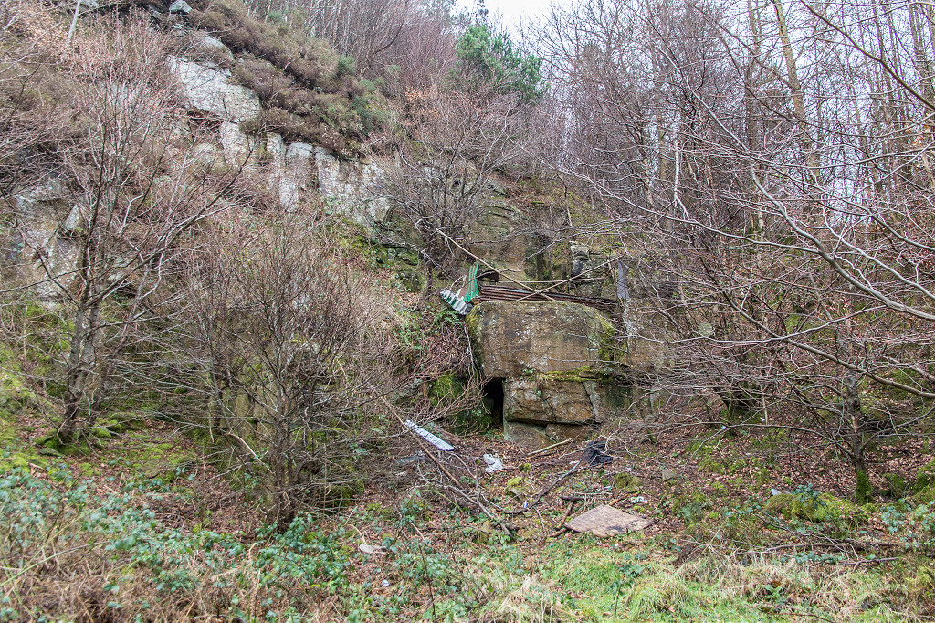
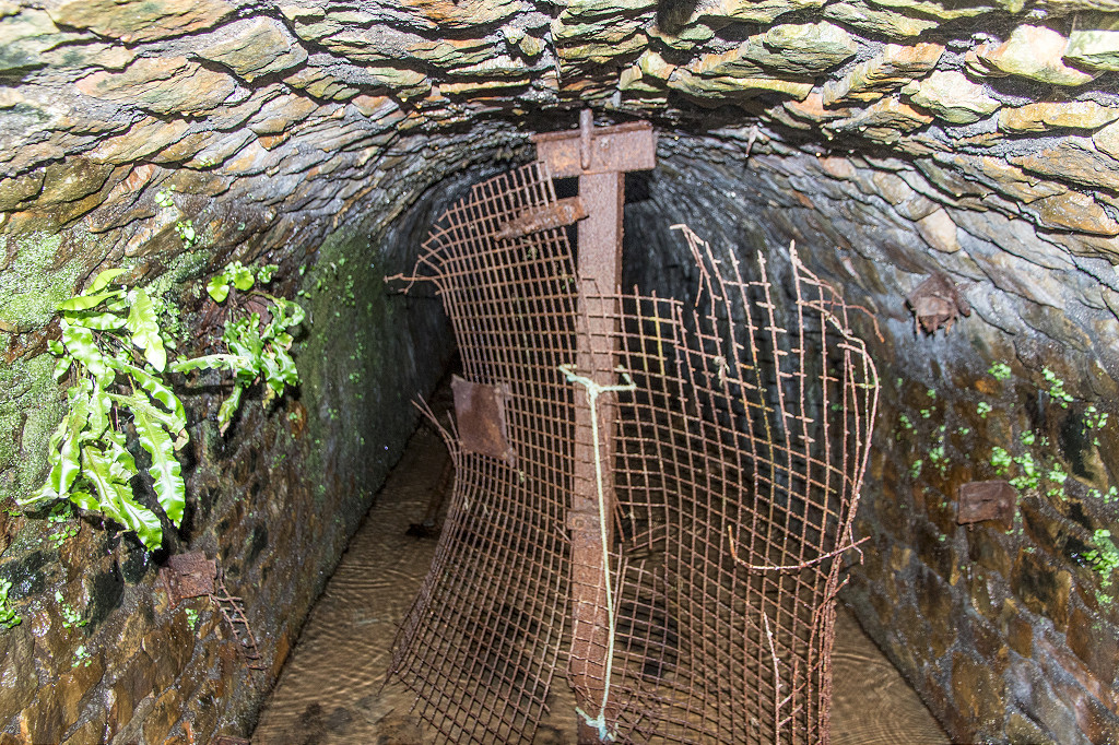
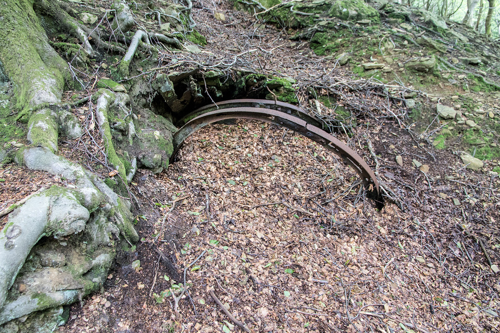
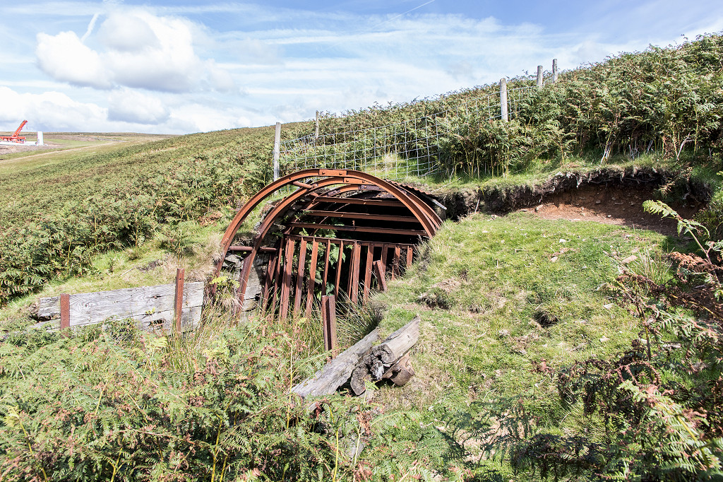
 Tillery Level |
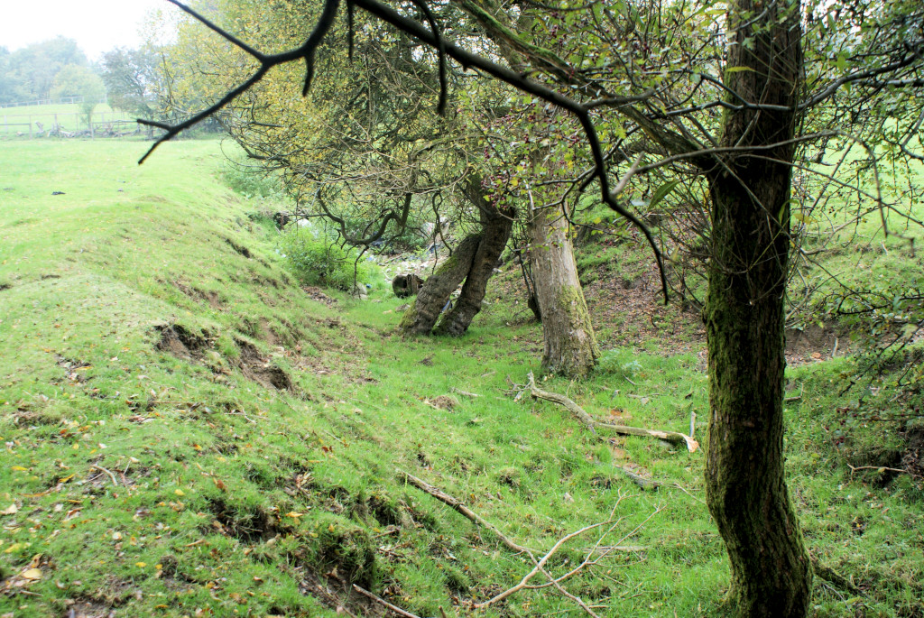
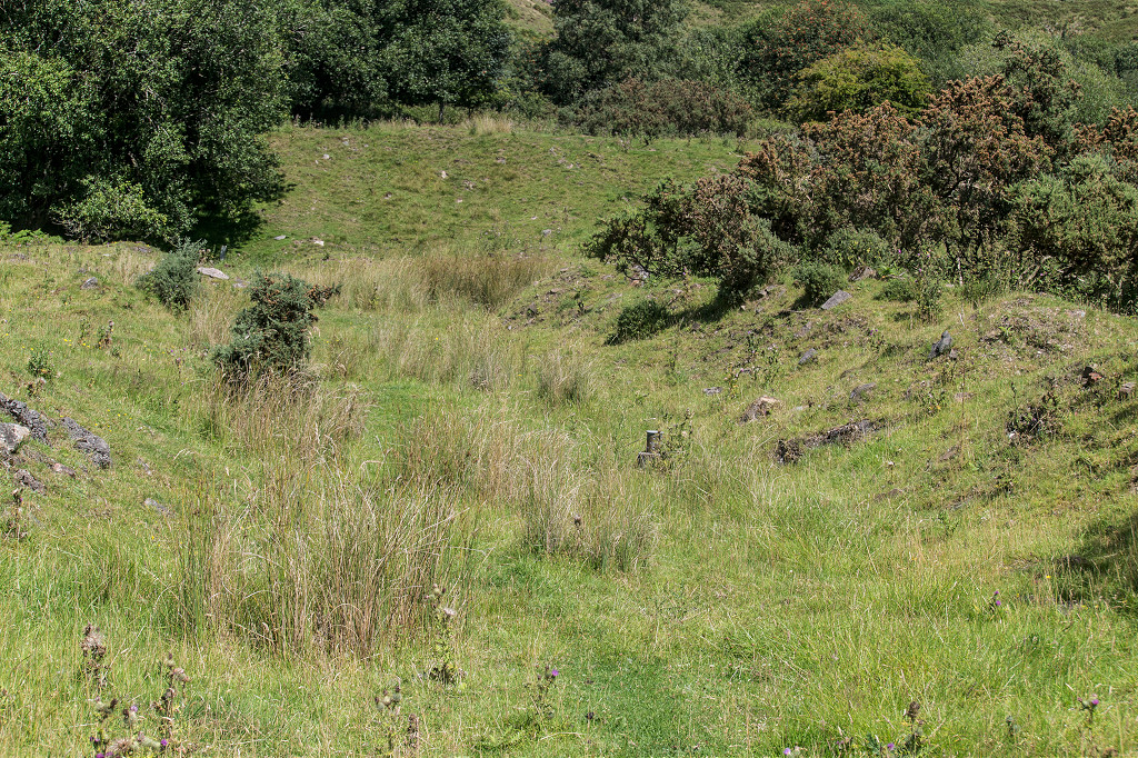
 Stonework above Tillery Level |
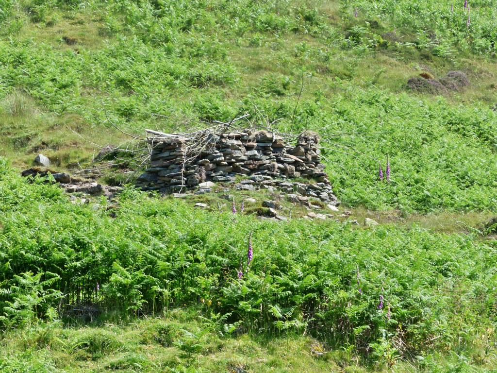
 'Five Houses' above Tillery Level |
|
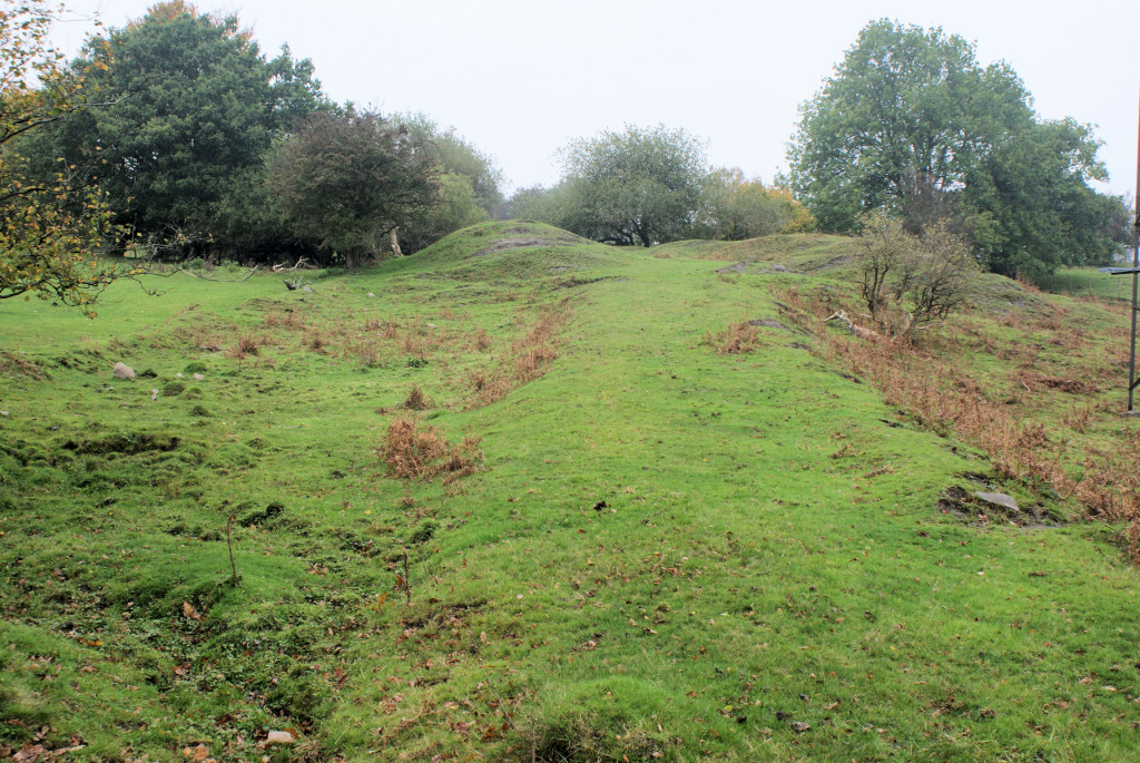
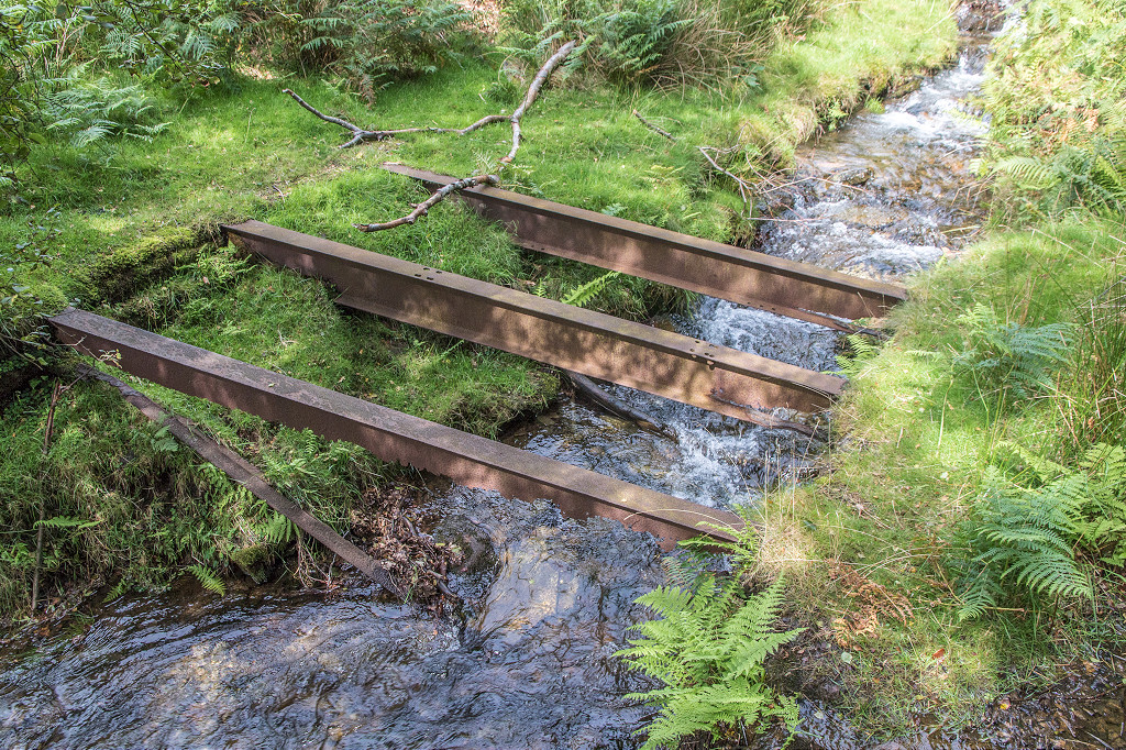
 Greenmeadow Inclines |
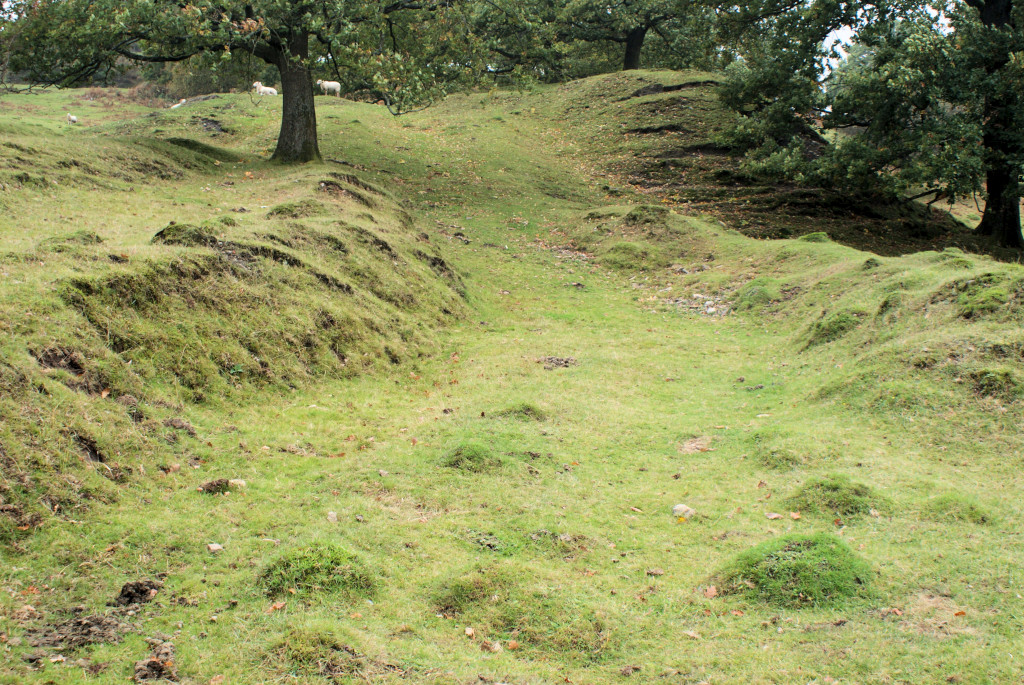
 Incline next to Pullingers Level |
 Incline next to Pullingers Level |
 Incline next to Pullingers Level |
 Incline next to Pullingers Level |
 Incline next to Pullingers Level |
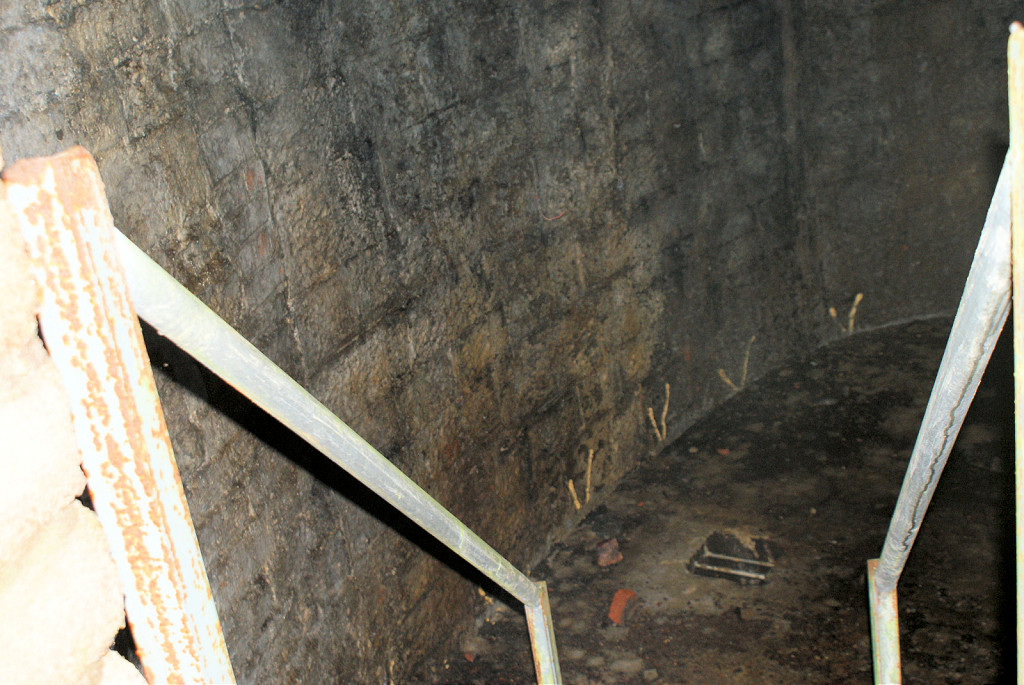
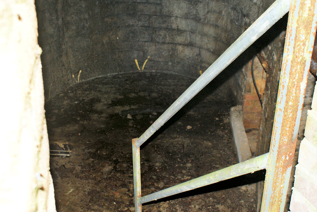
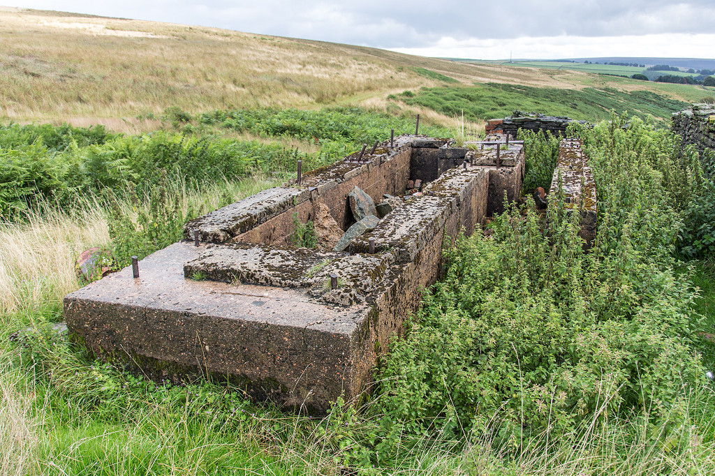
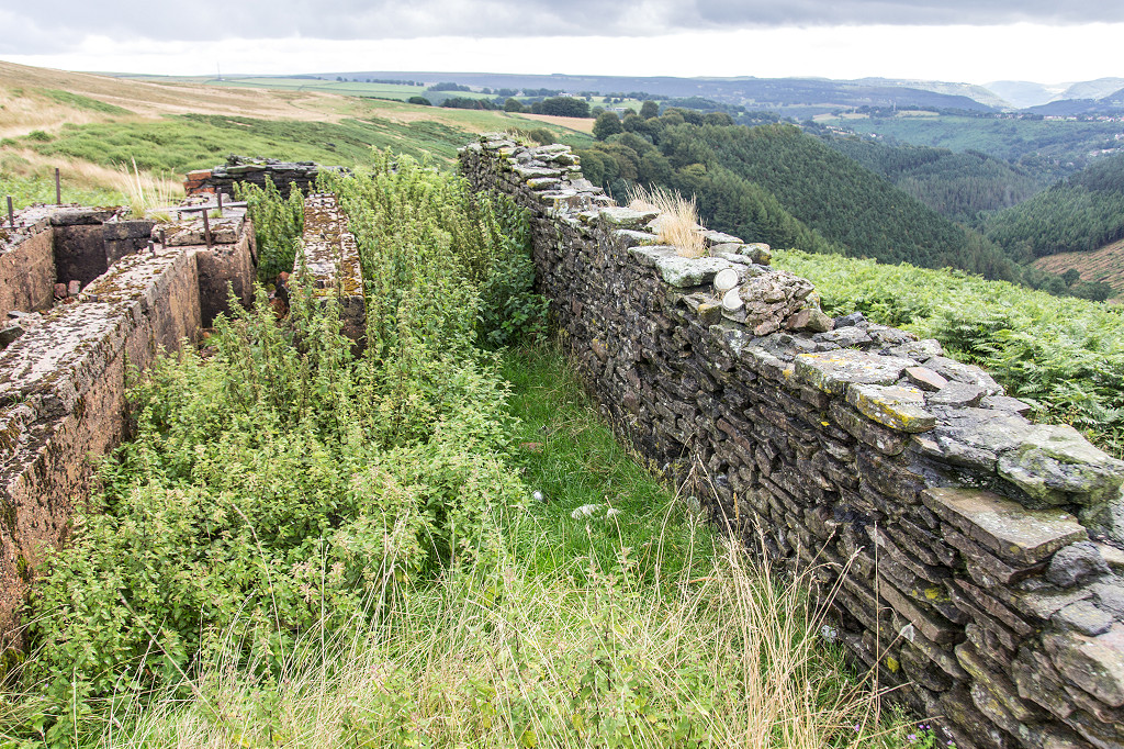
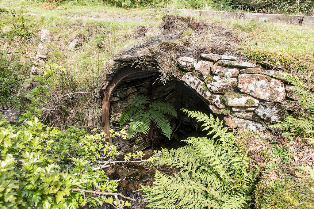
 Pullingers Level |
 Pullingers Level |
 Pullingers Level |
 Pullingers Level |
 Pullingers Level |
 Pullingers Level |
 Gwasted Ffynnonau Farm |
 Gwasted Ffynnonau Farm |
 Gwasted Ffynnonau quarry |
 Gwasted Ffynnonau quarry |
 Incline to Woodland Brickworks |
 Tramplate on Woodland incline |
 Tramplate on Woodland incline |
 Level at the very end |
 No 1 level Coedcae Tillery Colliery |
 No 2 level Coedcae Tillery Colliery |
 No 2 level Coedcae Tillery Colliery |
 No 2 level Coedcae Tillery Colliery |
 Tramway from No 2 level |
 No 3 level Coedcae Tillery Colliery |
 No 3 level Coedcae Tillery Colliery |
 No 3 level Dram wheel |
 No 3 level rail or tramplate |
 No 3 level rail or tramplate |
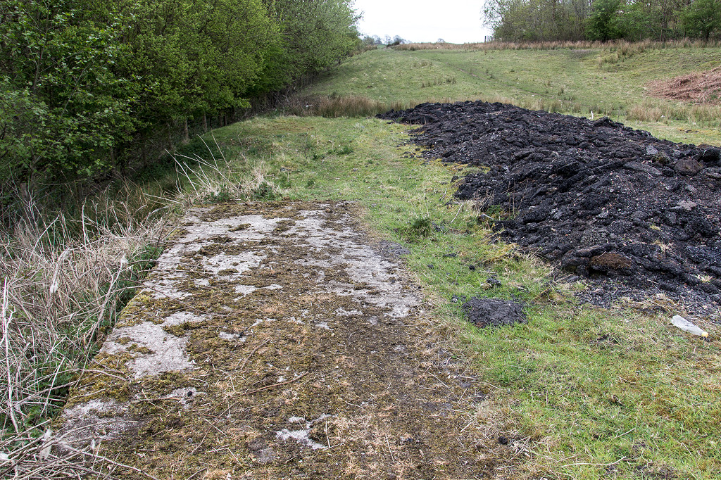
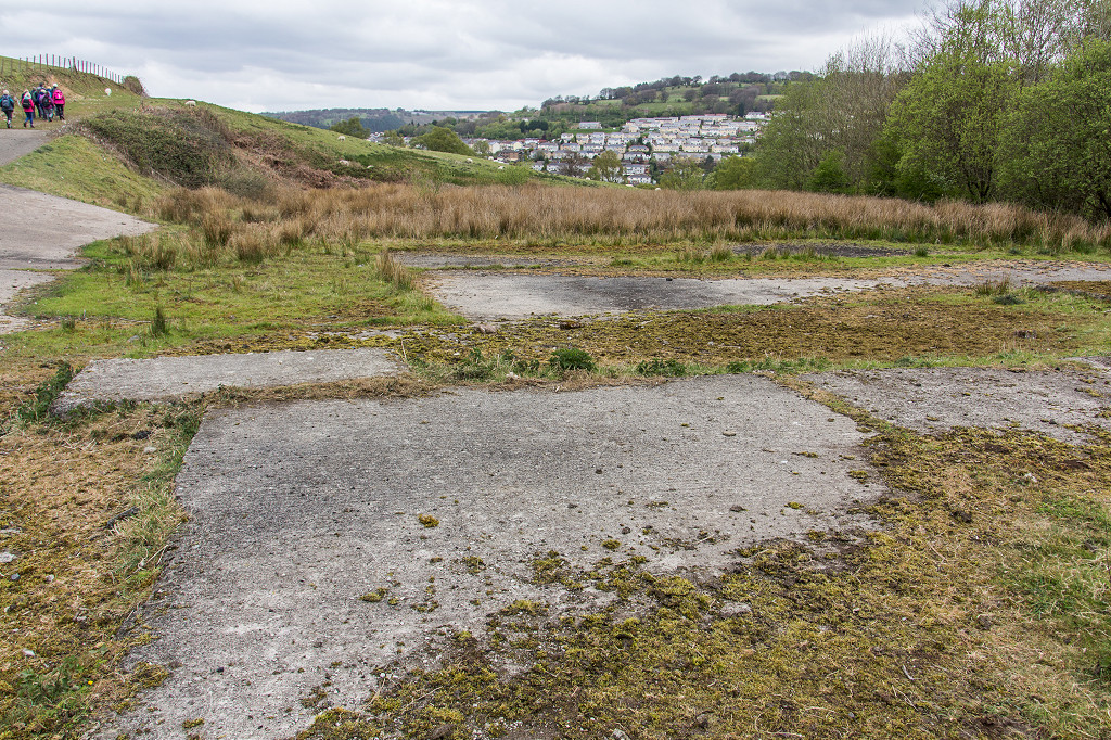
 No 3 level foundations |
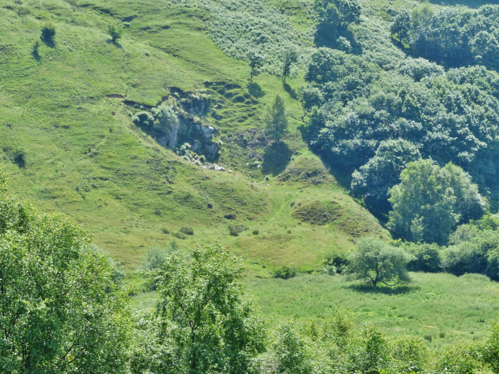
 Quarry at Coedcae Tillery Colliery |
 Quarry at Coedcae Tillery Colliery |
 Rosemont or Clynmawr Colliery |
 Rosemont or Clynmawr Colliery |
 Rhiw Park quarry |
 Rhiw Park quarry |
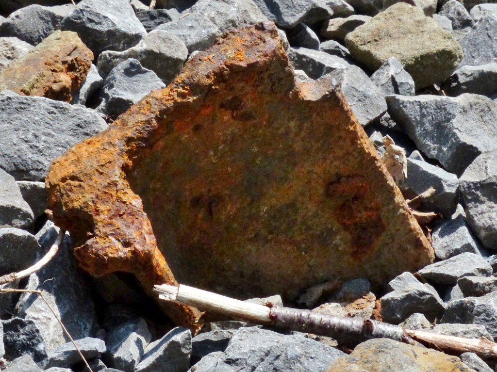
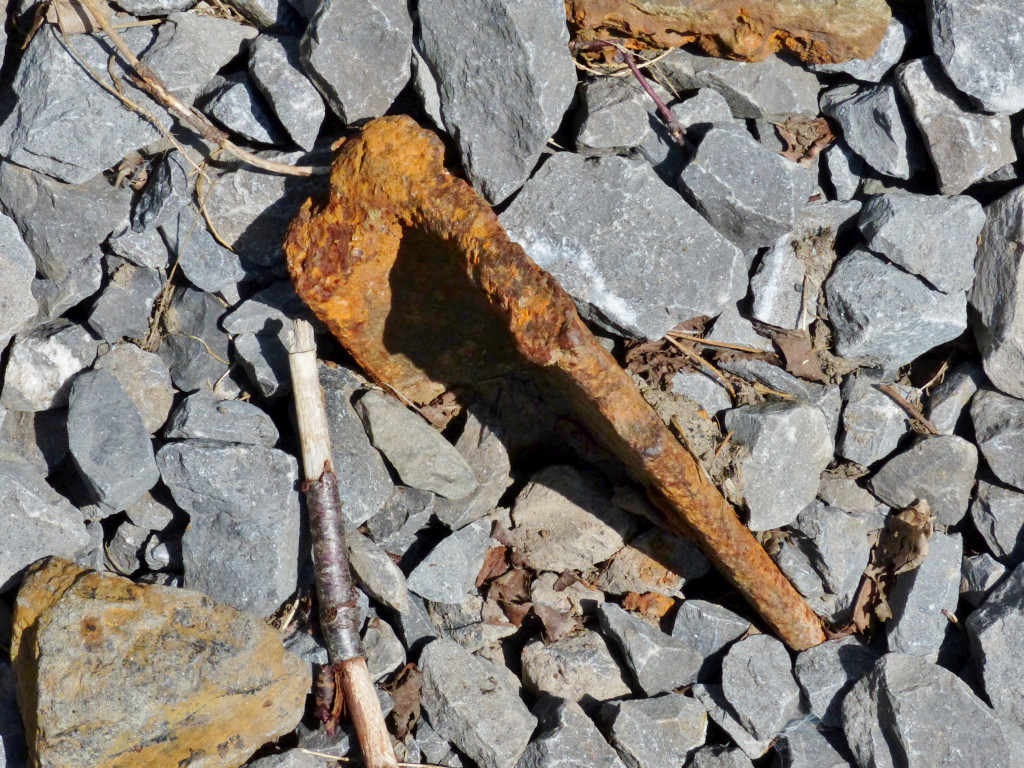
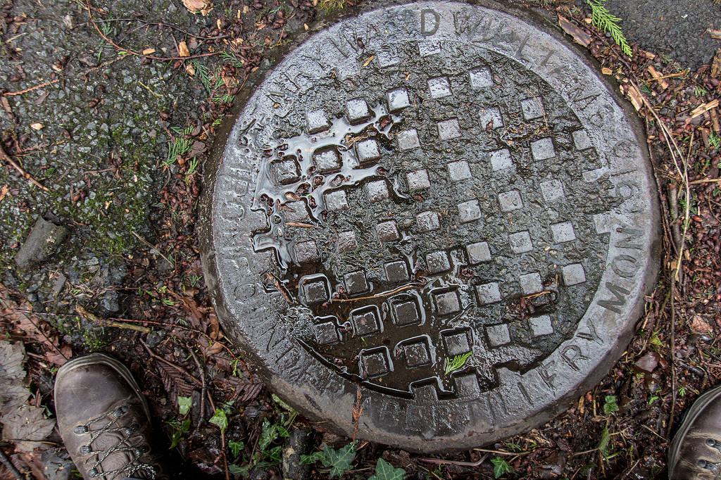 Ward Williams 1913 drain cover |
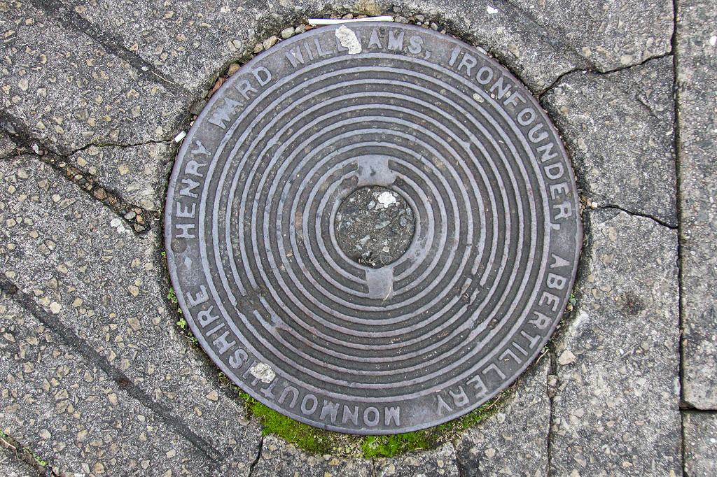 Ward Williams drain cover |
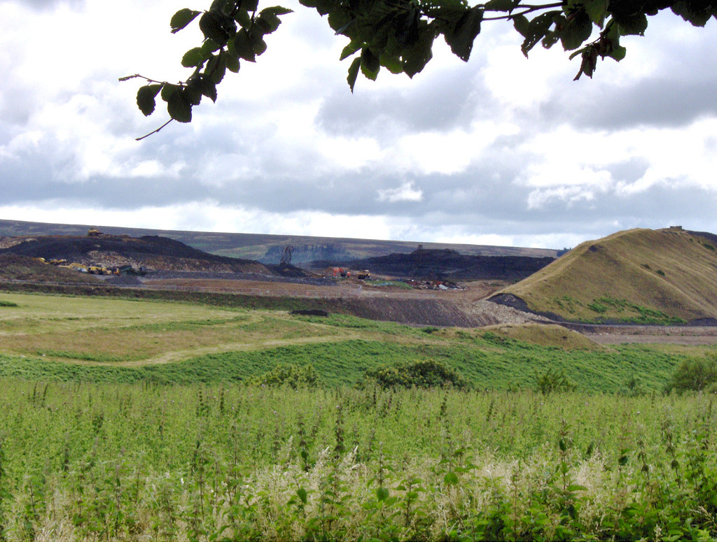
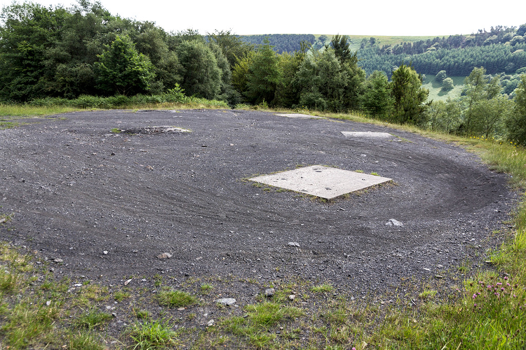
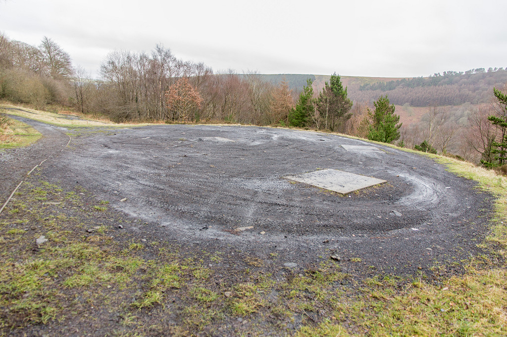
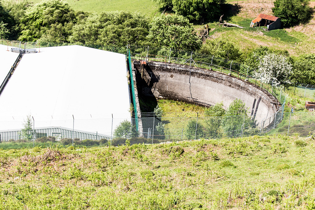
 Rose Heyworth Colliery, 1962 |
 Rose Heyworth Colliery, 1980 |
 Rose Heyworth Colliery, 1980 |
 Rose Heyworth Colliery, 1980 |
 Rose Heyworth Colliery, 1980 |
 Rose Heyworth Colliery, 1980 |
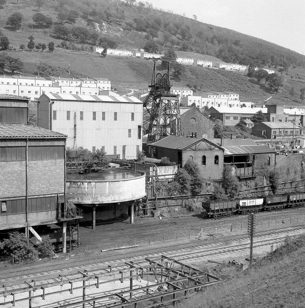 Rose Heyworth Colliery, 1980 |
 Cwmtillery Colliery memorial |
 Cwmtillery Colliery headsone |
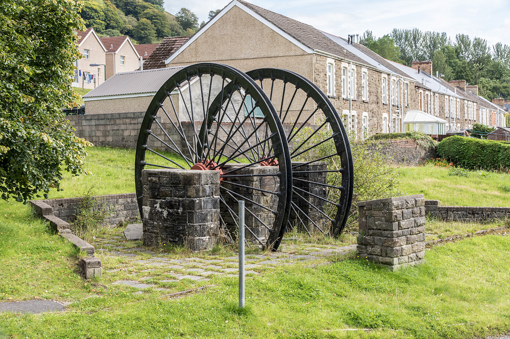 Cwmtillery Colliery memorial |
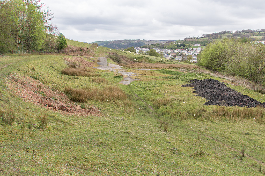
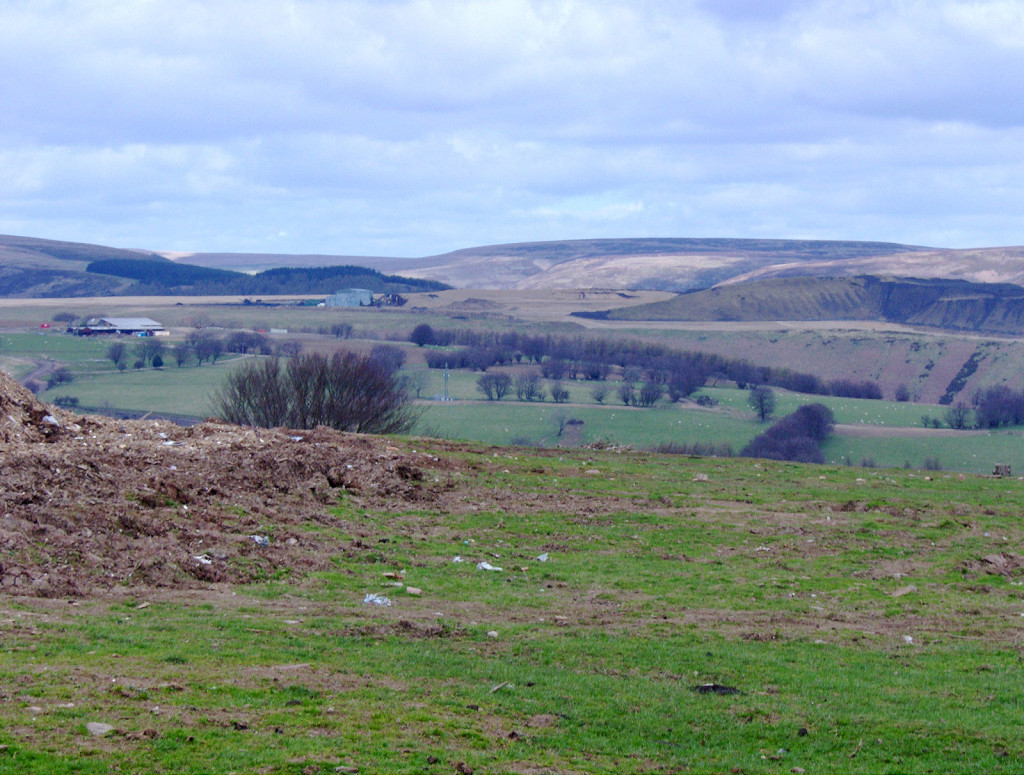
 Site of Cwmtillery Colliery |
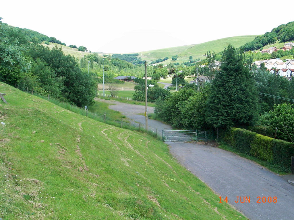
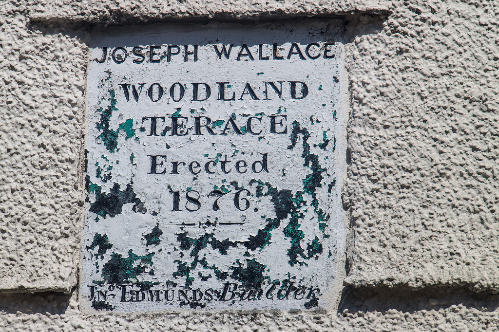 Woodland terrace, Cwmtillery |
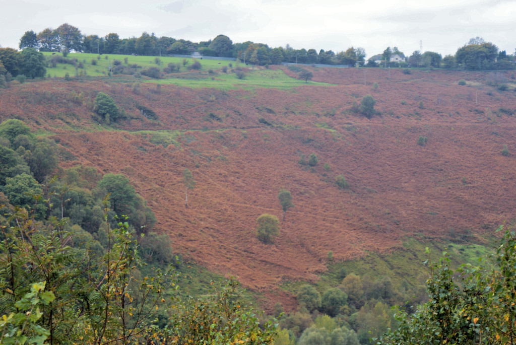
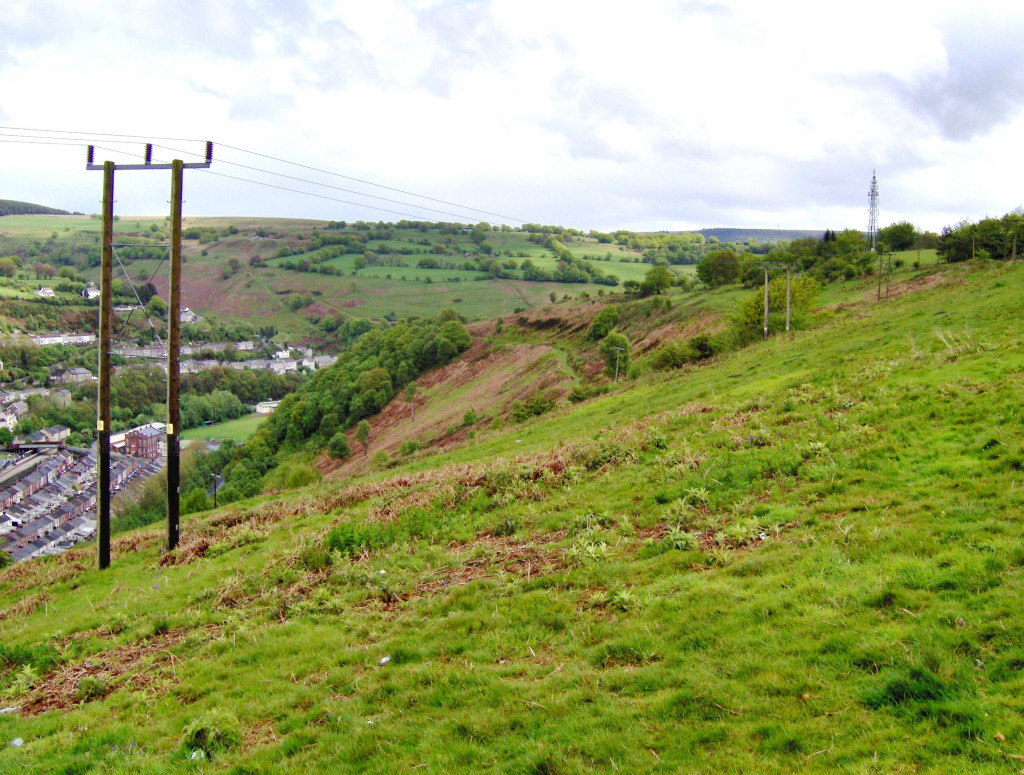
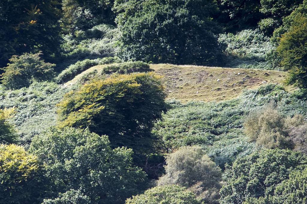
 Cwmtillery West quarry or landslip |
 Aber Gwrhyd level |
 Llanerch Padarn level |
 Llanerch Padarn level |
 Llanerch Padarn level |
 Llanerch Padarn level |
 Ty Nest Llewellyn |
 Ty Nest Llewellyn |
 Panteg Farmhouse, Pant Ddu |
 Panteg Farmhouse, Pant Ddu |
 Cwmtillery East quarry and incline |
 Cwmtillery East quarry |
 Cwmtillery East quarry and incline |
 Gwrhyd Longhouse barn |
 Gwrhyd Longhouse barn |
 Gwrhyd Longhouse barn |
 Gwrhyd Farmhouse |
 Hendre Gwyndir level tramway |
 Hendre Gwyndir level tramway |
 Hendre Gwyndir level |
 Hendre Gwyndir level |
 Hendre Gwyndir level |
 Hendre Gwyndir level |
 Hendre Gwyndir level |
 Hendre Gwyndir Farmhouse |
 Hendre Gwyndir Farmhouse |
 Hendre Gwyndir Farmhouse |
 Hendre Gwyndir quarry |
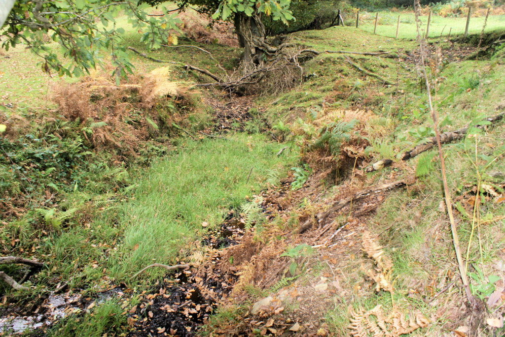
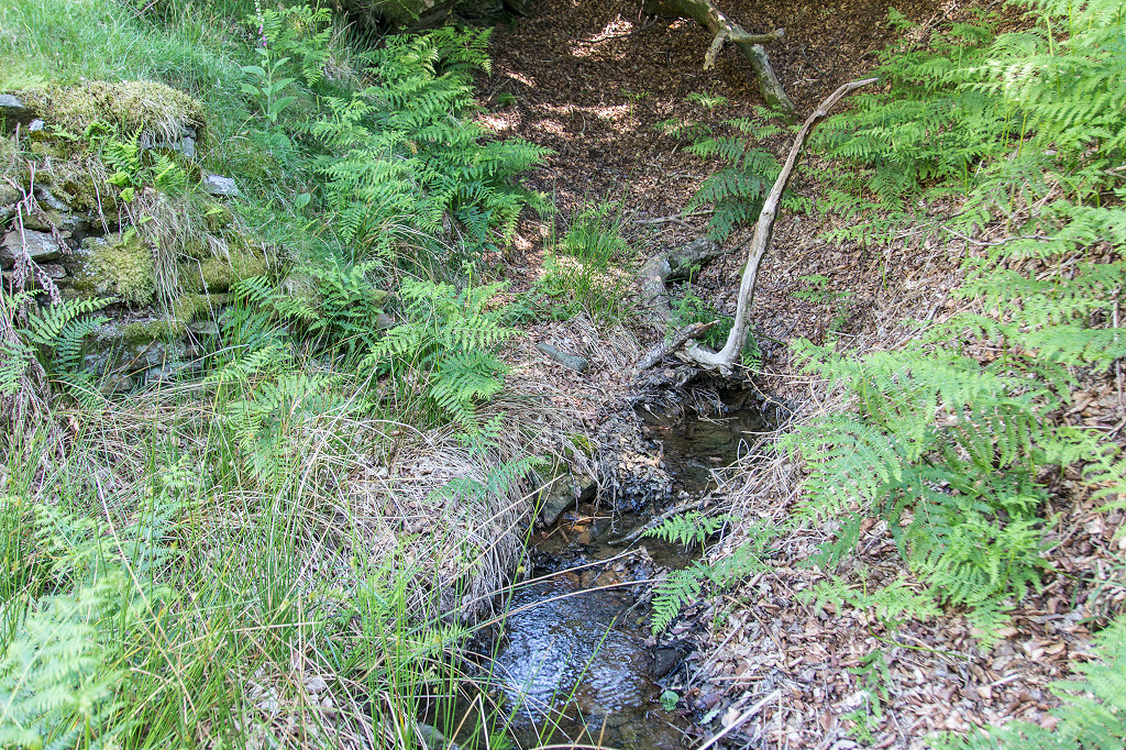
 Hendre Gwyndir rusty stream |
 Hendre Gwyndir reservoir |
 Gilfach Green barn |
 Gilfach Green pipeline bridge |
 Gilfach Green pipeline bridge |
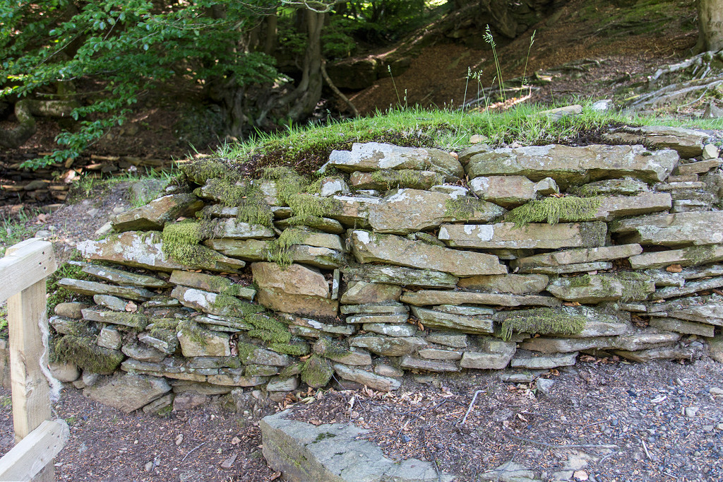 Gilfach Green retaining wall |
 Pipeline retaining wall |
 Lower level, Gilfach Green |
 Lower level, Gilfach Green |
 Gilfach Green spoil tips |
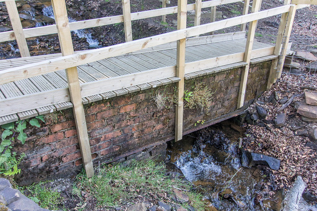
 Gilfach Green bridge |
 Gilfach Green bridge |
 Gilfach Green bridge |
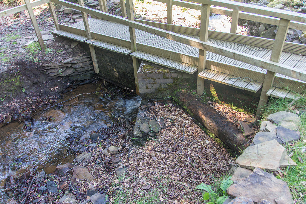
 Upper level bridge |
 Upper level, Gilfach Green |
 Upper level, Gilfach Green |
 Watercourse level, Cwmtillery |
 ADWB Blaenavon tunnel yard |
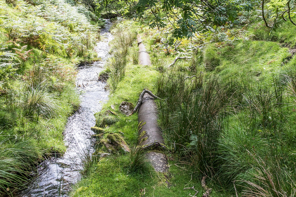 Nant Tillery pipeline |
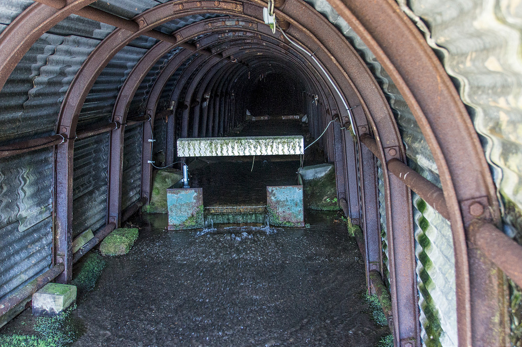
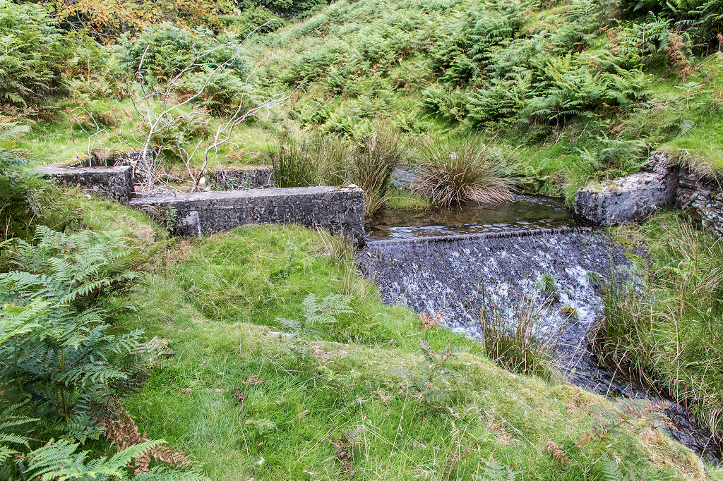 Nant Tillery weir |
 Nant Tillery weir |
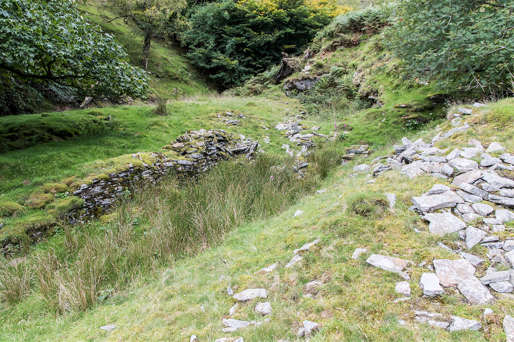 Blaentillery workings |
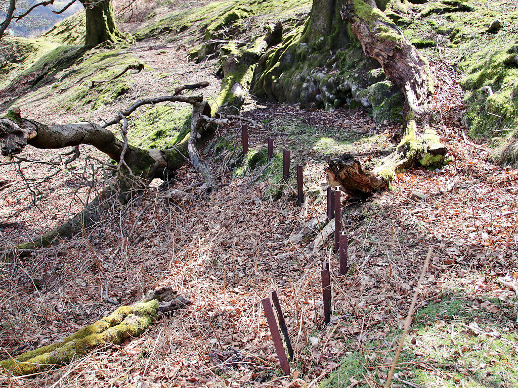
 Blaentillery barn |
 Blaentillery cable or pipe run |
 Blaentillery cable or pipe run |
 Blaentillery old farm |
 Blaentillery old farm |
 Blaentillery top level |
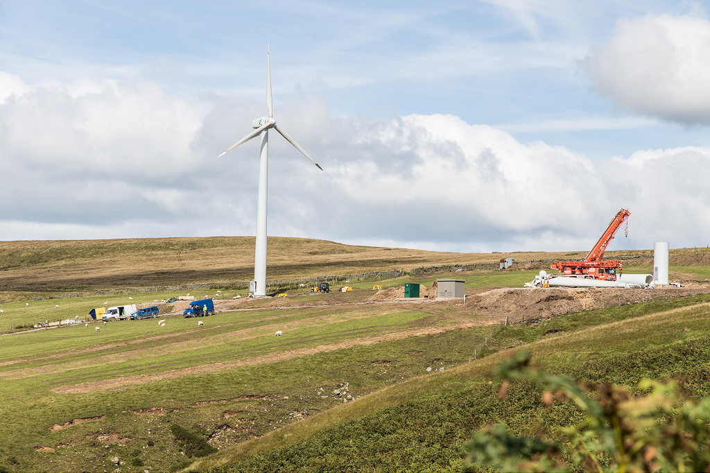 Wind turbines being installed |
 Robens Folly |
 Robens Folly |
 Robens Folly |
 Robens Folly |
 Robens Folly |
 Robens Folly |
 Robens Folly |
Industrial WalesCollieries, Ironworks, Quarries, Railways, Canals, Tramroads, Tunnels, Culverts and so much more....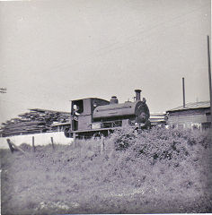
|
Brickworks of WalesBricks are 'History with a label' so here's the story of the Brickworks of Wales - photos, maps and the products themselves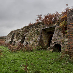
|
Around the WorldMy travels around the UK and the Whole Wide World in search of industries, railways, trams and mines to name a few.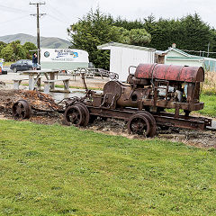
|
Iron and StoneBoundary Stones, Mileposts and any kind of ironmongery from drain covers to builders plates.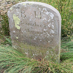
|
Ships and ShippingShips around the World in simple alphabetical order of their name (or apparent area if I can't read the name).
|
The Site Map and IndexA full list of all the pages of the whole website in just one place, so you should find exactly what you are looking for.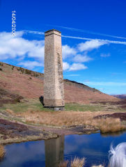
|
About the SiteThe background and technical details about the site, plus a contact page and links to other sites - and a warning !!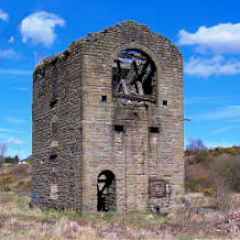
|
Contact MeSomething to add? A great photo? Something wrong? or need to know more about things? Just drop me a line here.
|
Further ReadingYou can find lots of local and other very helpful websites, books, magazines and Facebook groups all listed here.
|