Industrial Wales - Monmouthshire's Western Valley
Nantyglo and Brynmawr
Including Winchestown, Clydach Dingle and Llangattock Mountain
Search the site here
|
|
Industrial Wales - Monmouthshire's Western Valley
Nantyglo and Brynmawr
Including Winchestown, Clydach Dingle and Llangattock Mountain
|
Search the site here
|
| Click on the thumbnail to enlarge it and click 'Full Size' on the toolbar to see the maps full-size. They take a few seconds to load as they are quite large files. |
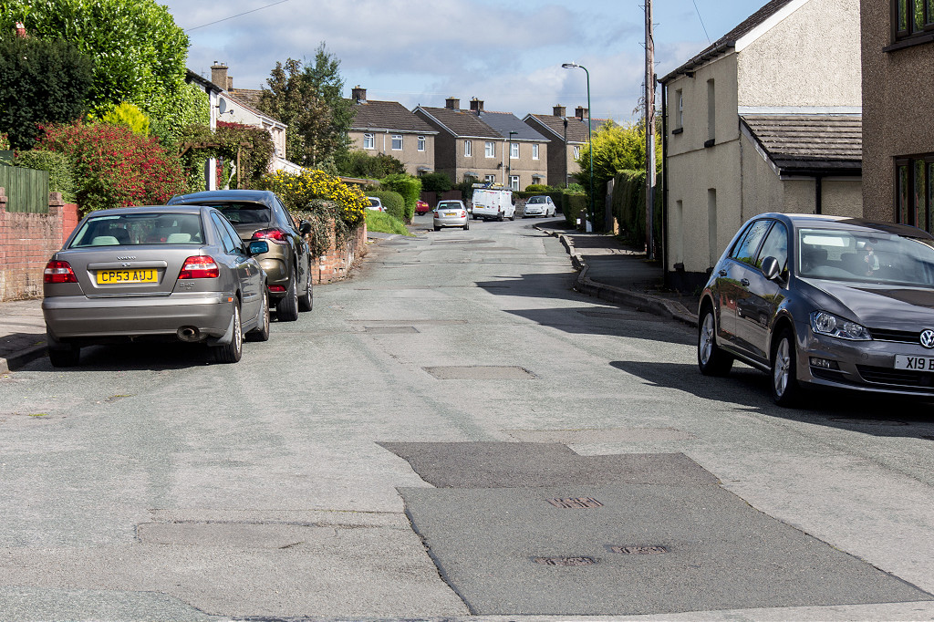
 Brynmawr and Nantyglo |
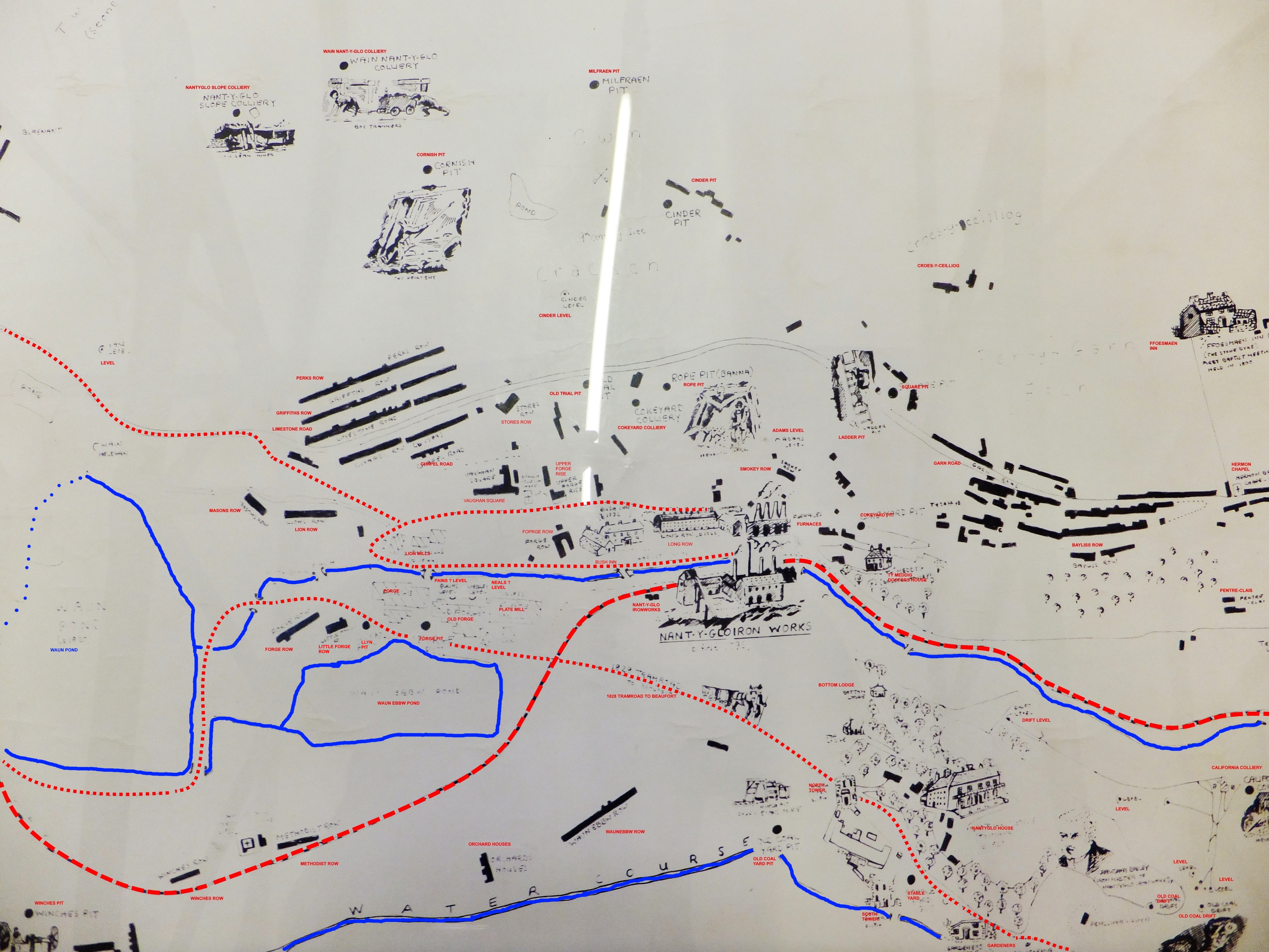 Nantyglo |
 Nantyglo and Blaina |
 Blaina |
 Blaina and Cwmcelyn |
 Brynmawr from the air |
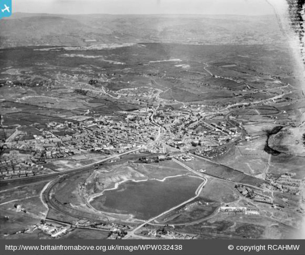 Brynmawr from the air |
 Tramway past Ty Mawr, Nantyglo |
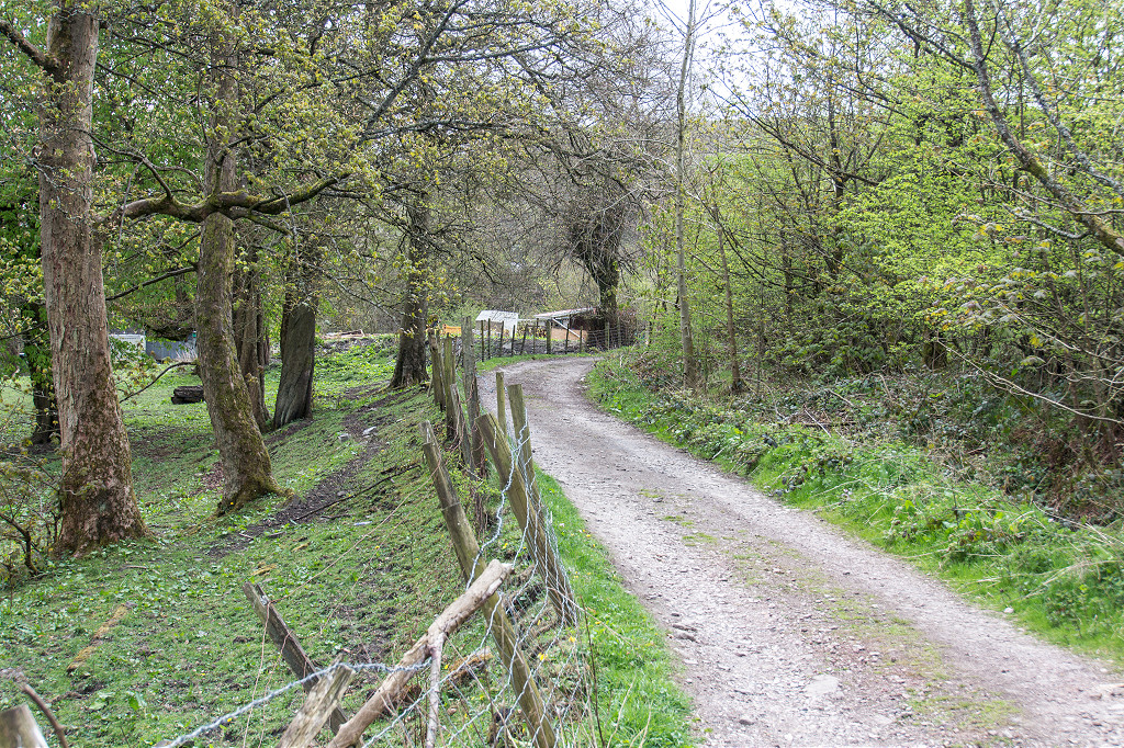 Tramway past Ty Mawr, Nantyglo |
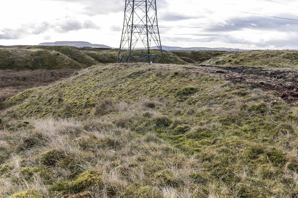
 Penllywn tips below Ty Mawr |
|
 Ty Mawr or Nantyglo House |
 Ty Mawr or Nantyglo House |
 Ty Mawr or Nantyglo House |
 Ty Mawr or Nantyglo House |
 Ty Mawr or Nantyglo House |
 Ty Mawr or Nantyglo House |
 Ty Mawr or Nantyglo House |
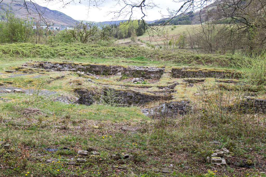
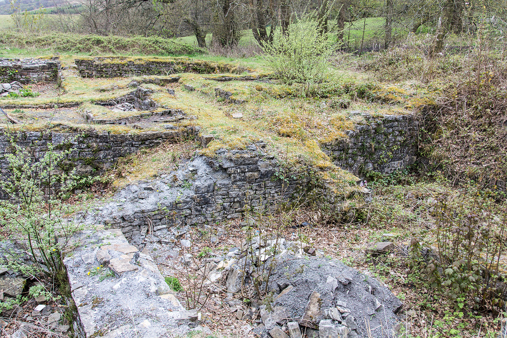
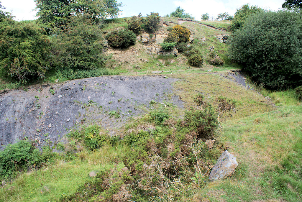
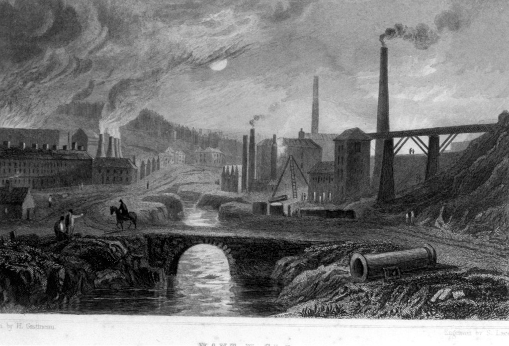 Nantyglo Ironworks |
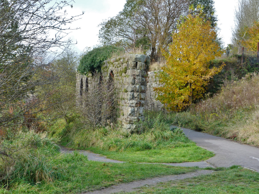
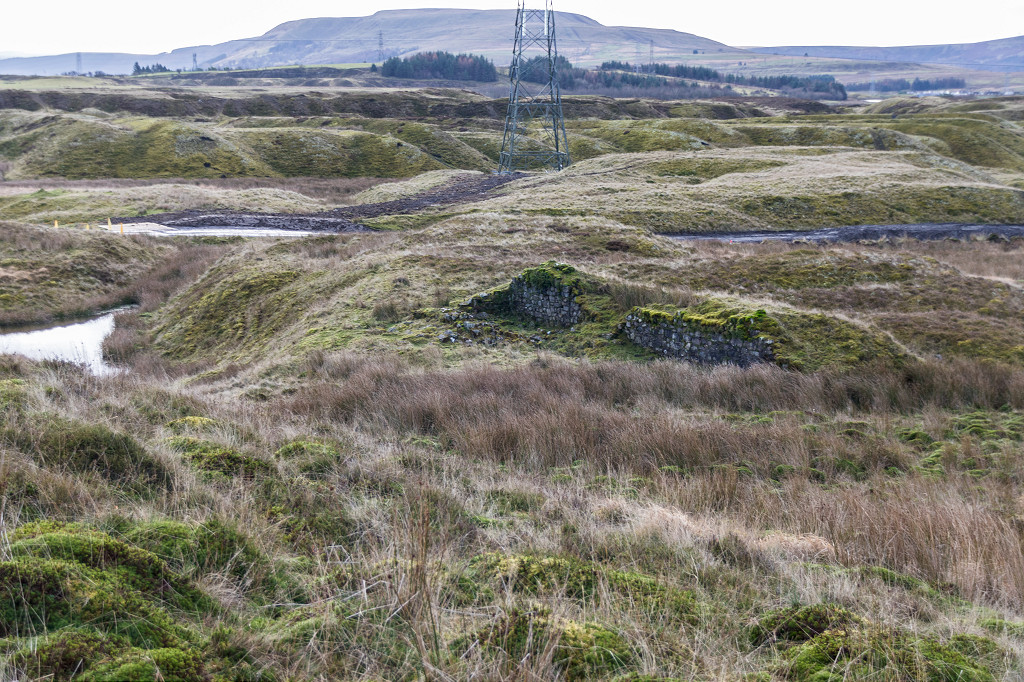
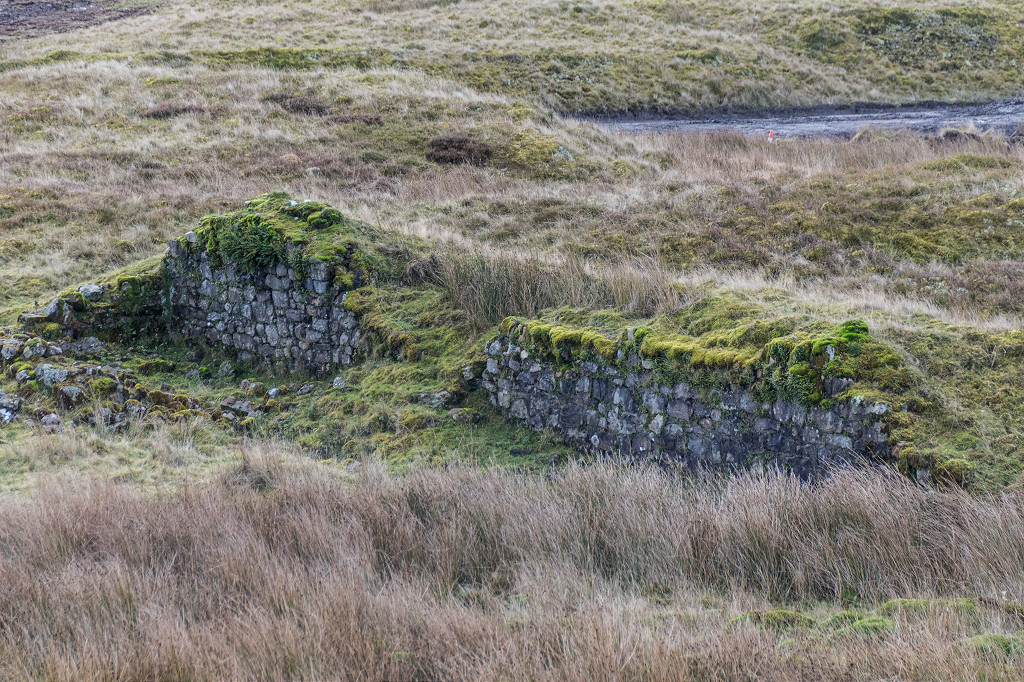
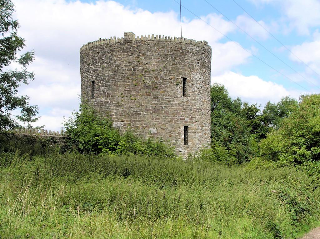 The Northern Round Tower |
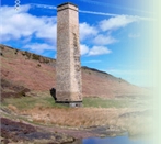
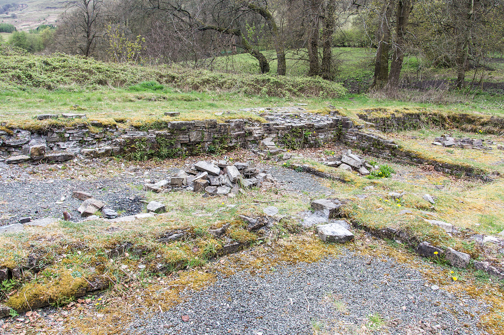
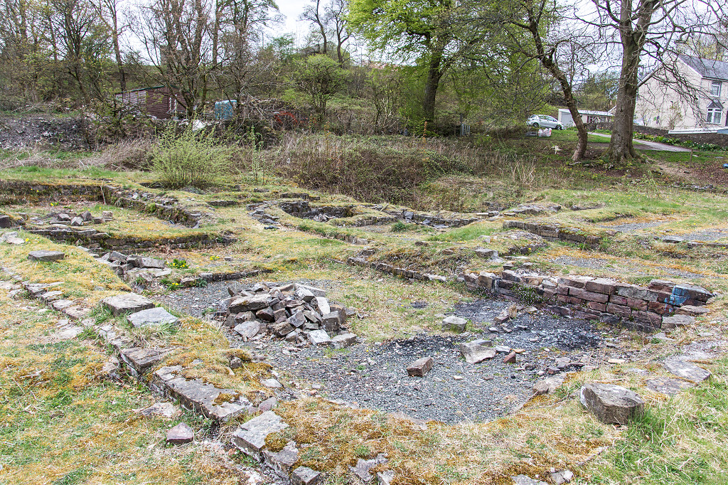
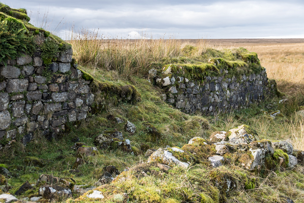
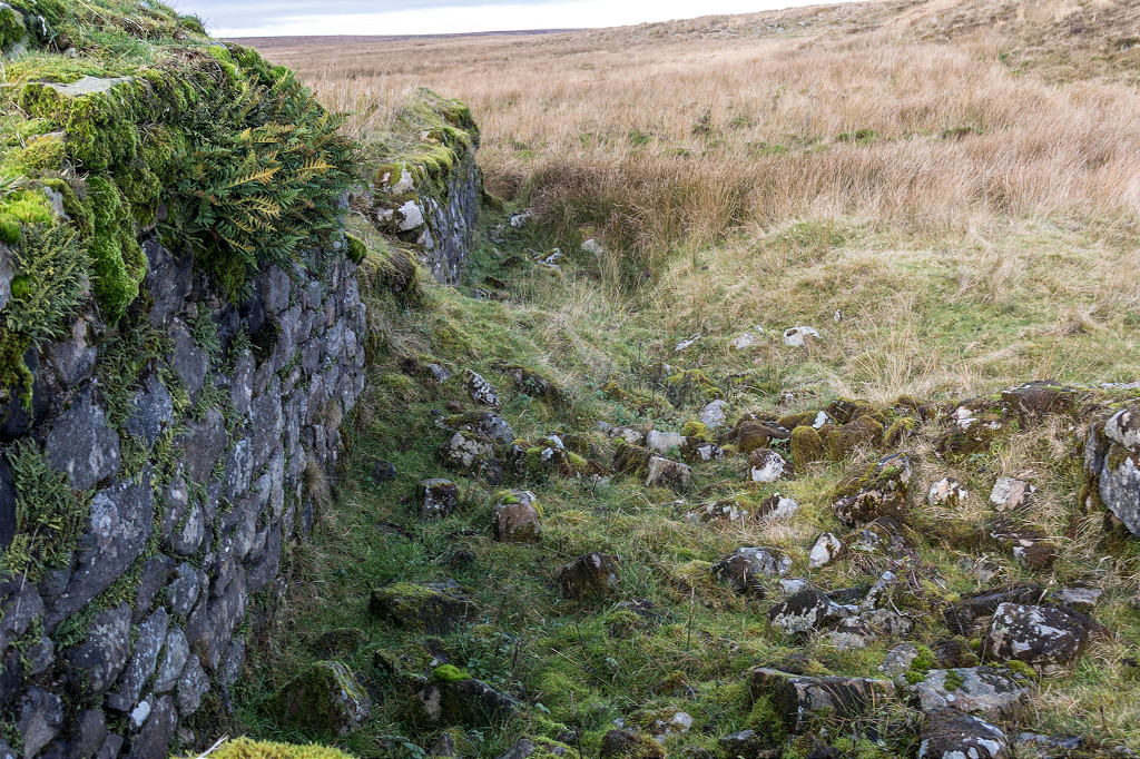
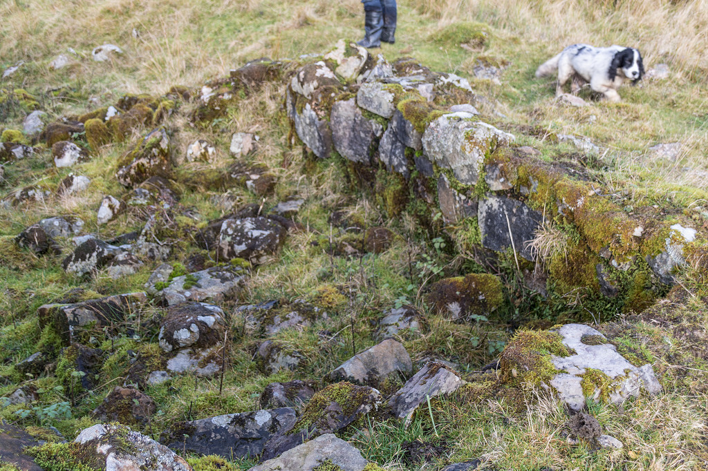
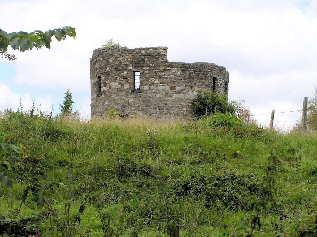 The ruined Southern Round Tower |
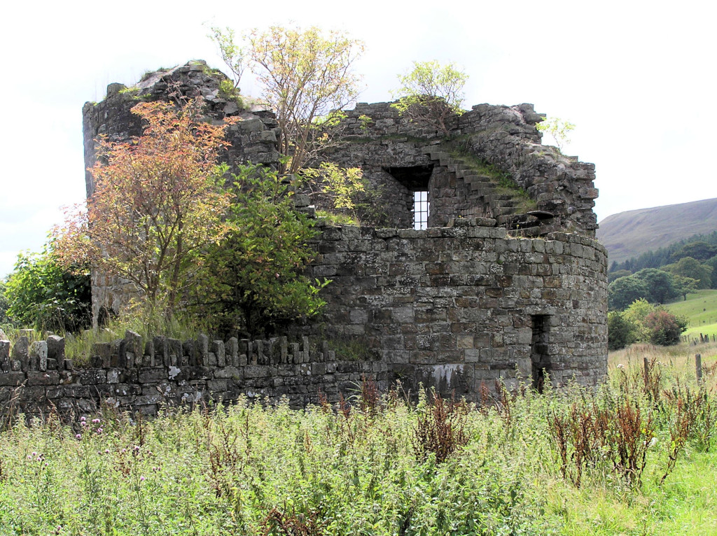 The ruined Southern Round Tower |
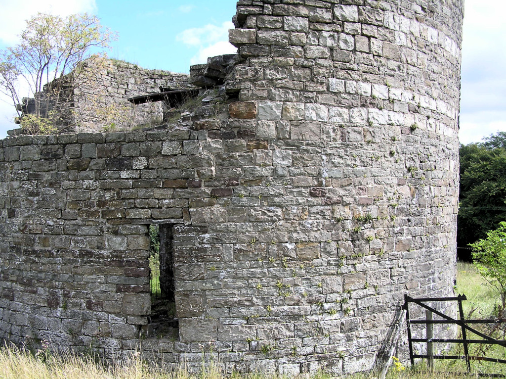 The ruined Southern Round Tower |
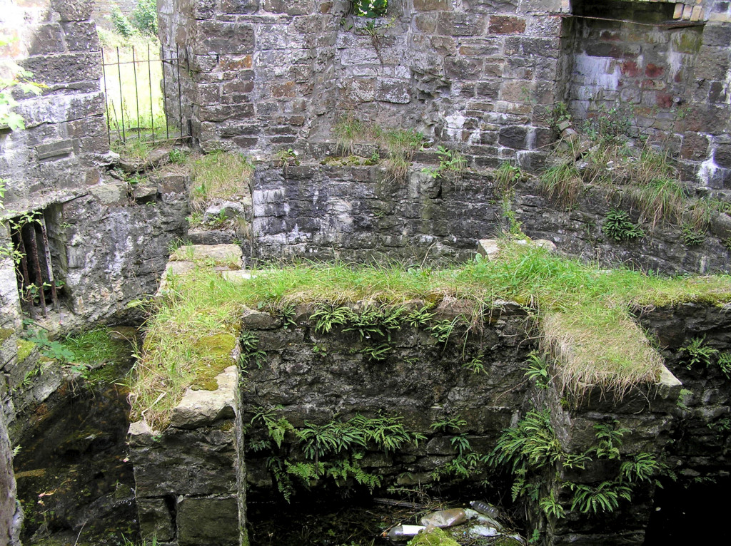 The ruined Southern Round Tower |
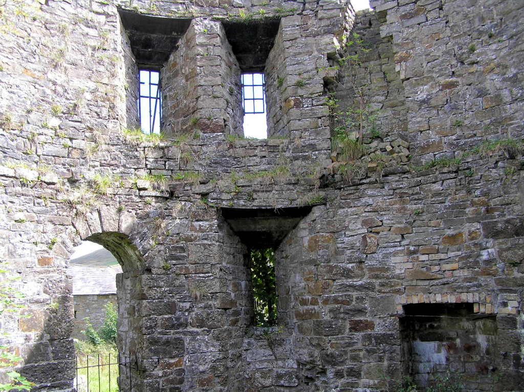 The ruined Southern Round Tower |
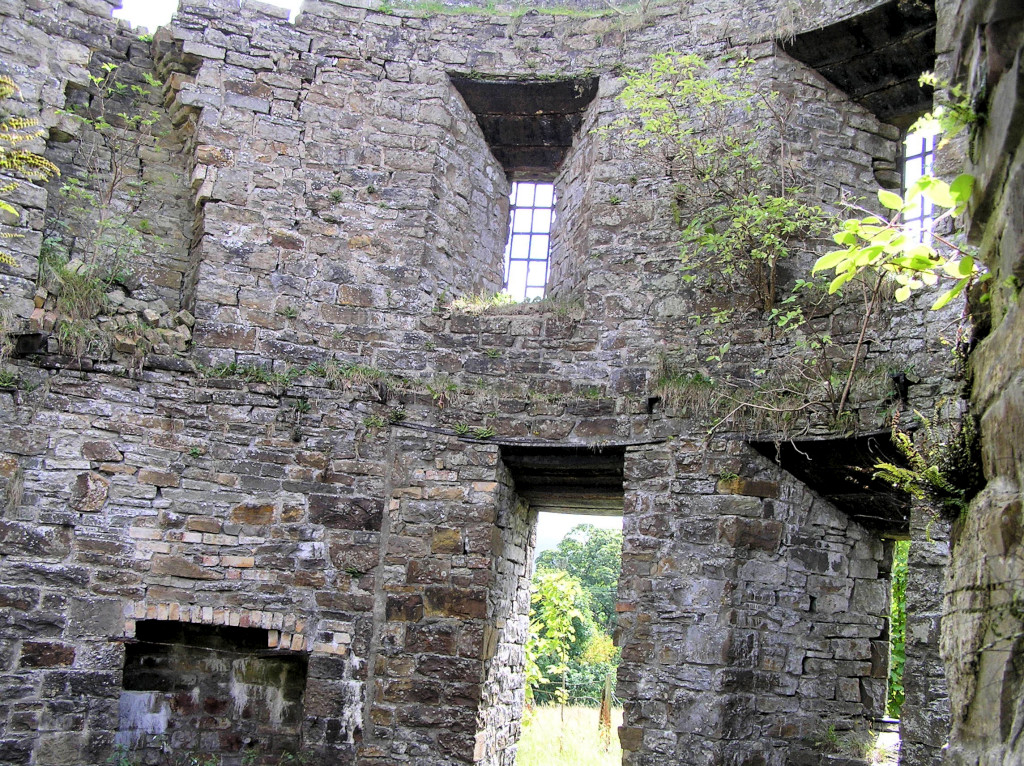 The ruined Southern Round Tower |
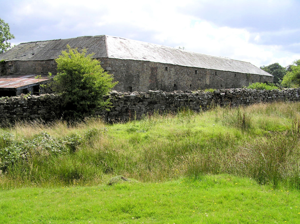 Roundhouse Farm, Nantyglo |
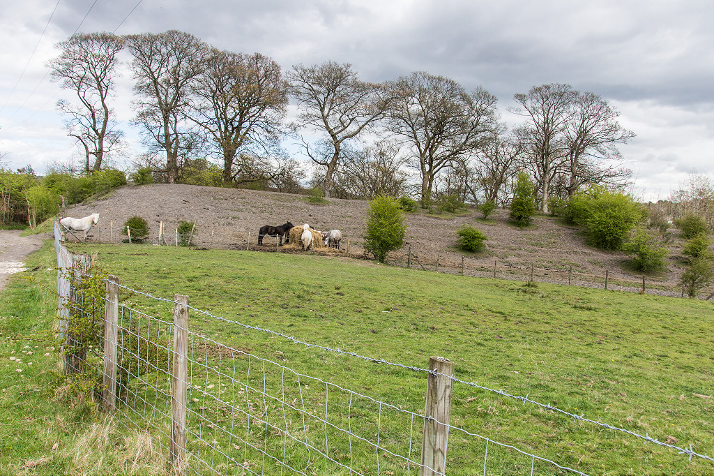
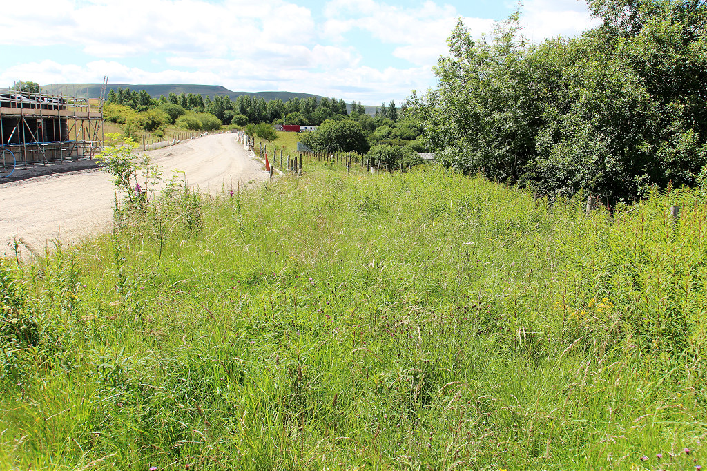
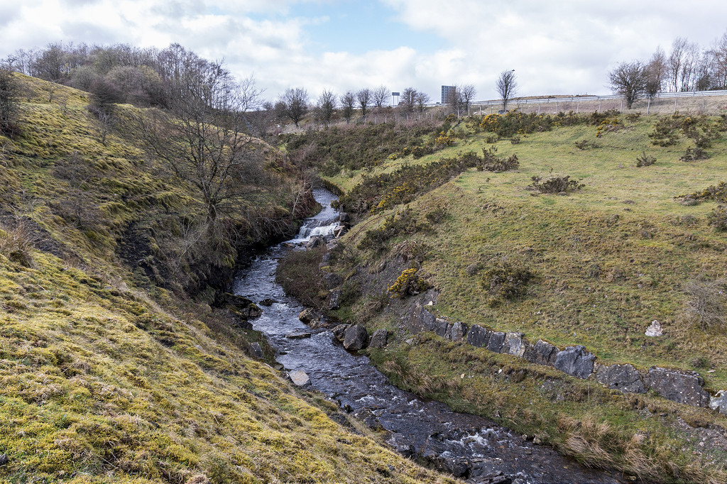
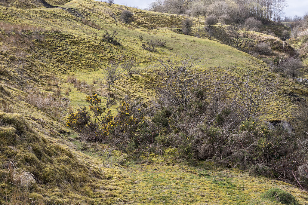
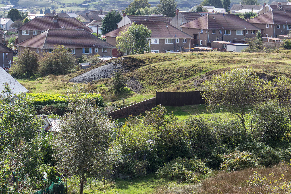
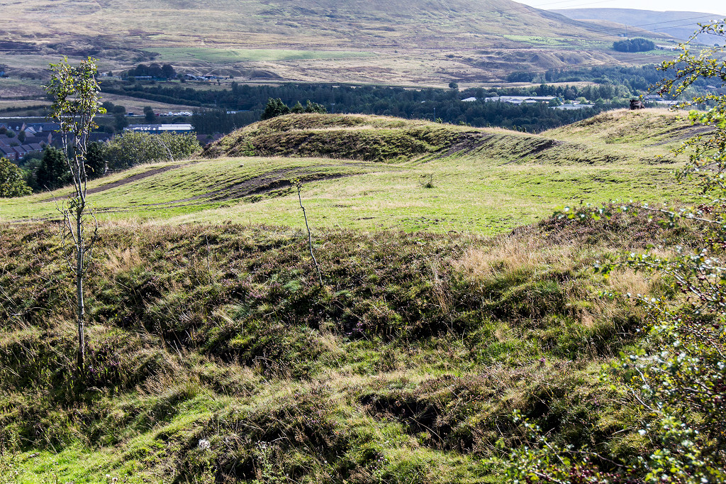
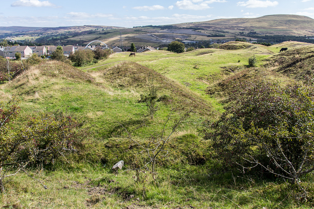
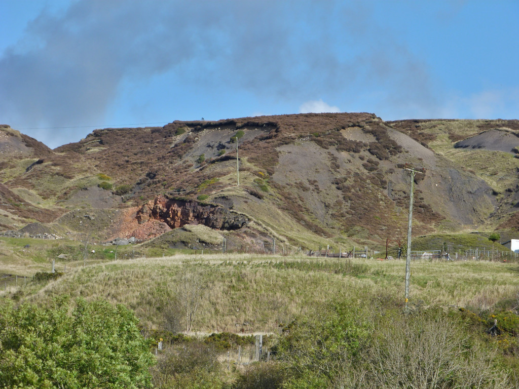
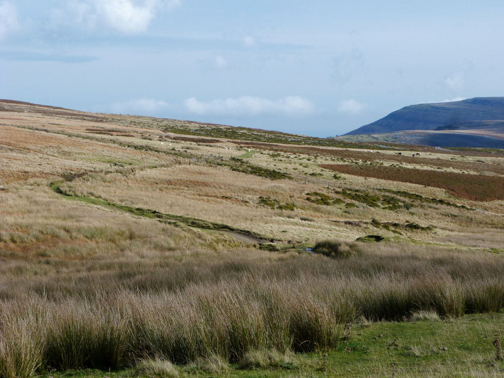
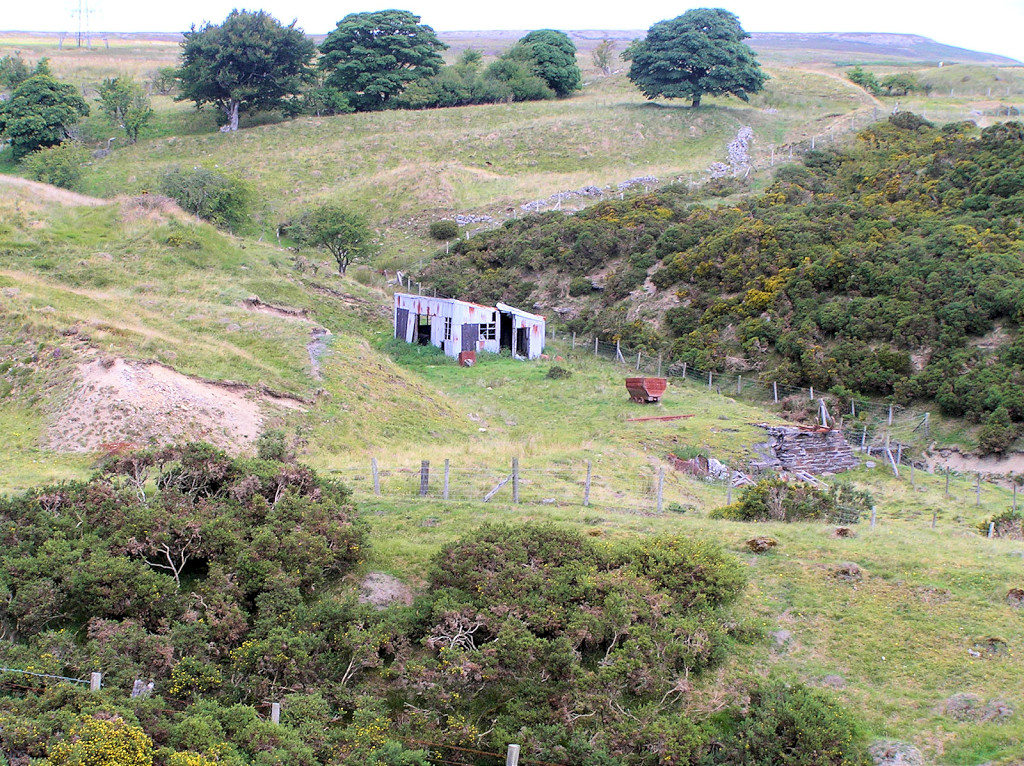
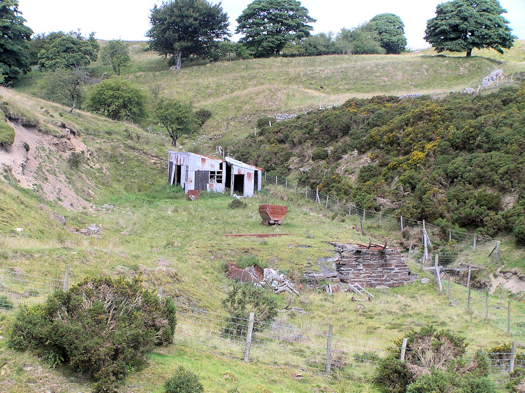
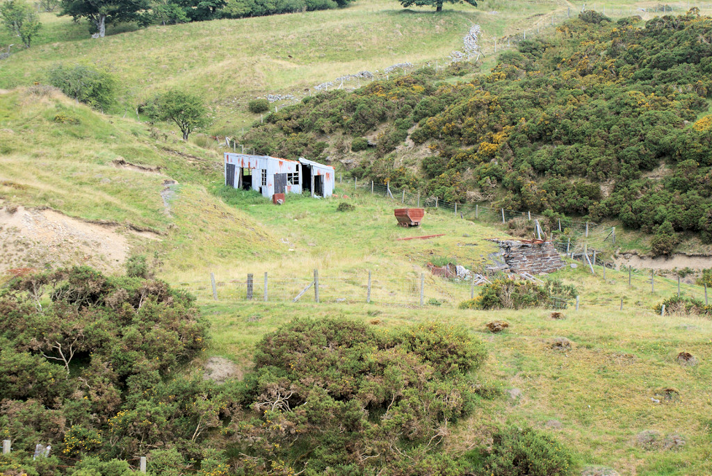
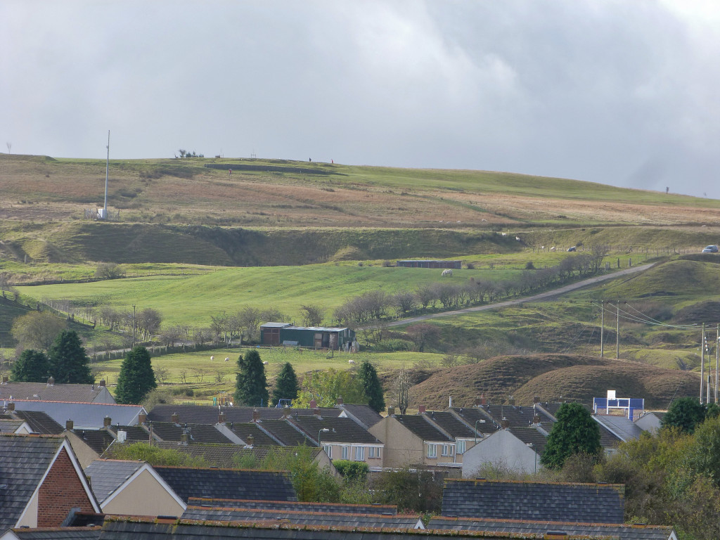 Panorama of Winchestown tips |
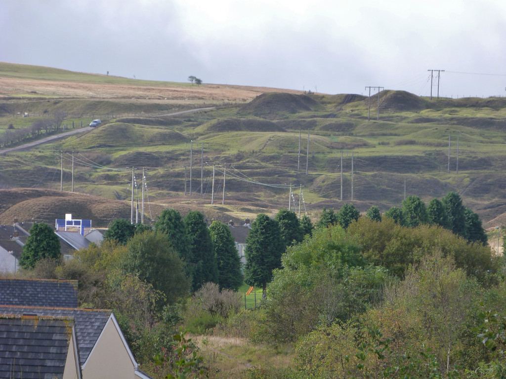 Panorama of Winchestown tips |
 Panorama of Winchestown tips |
 Panorama of Winchestown tips |
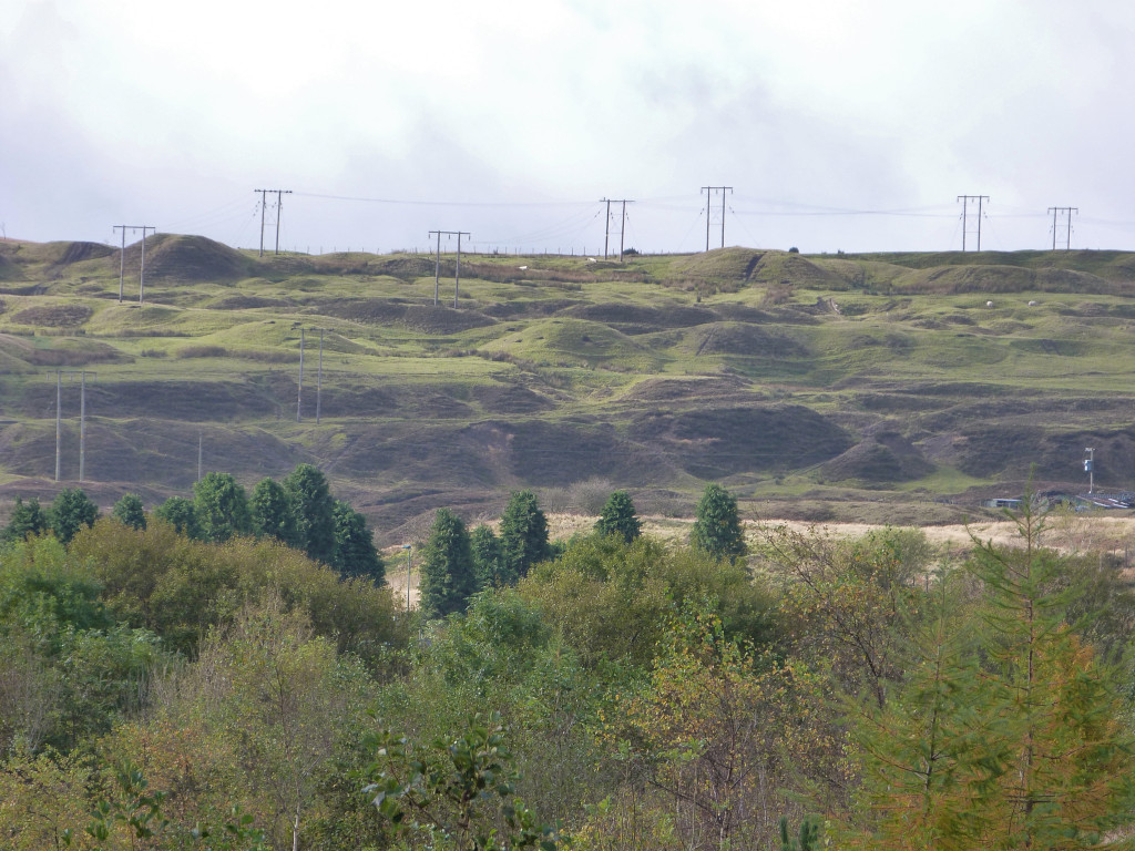
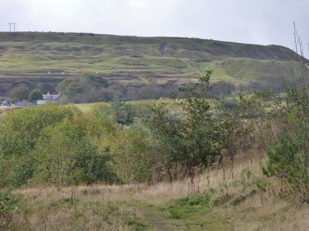
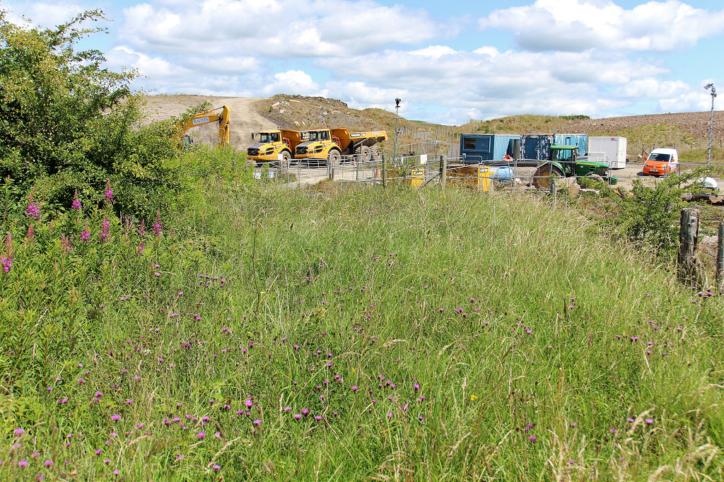
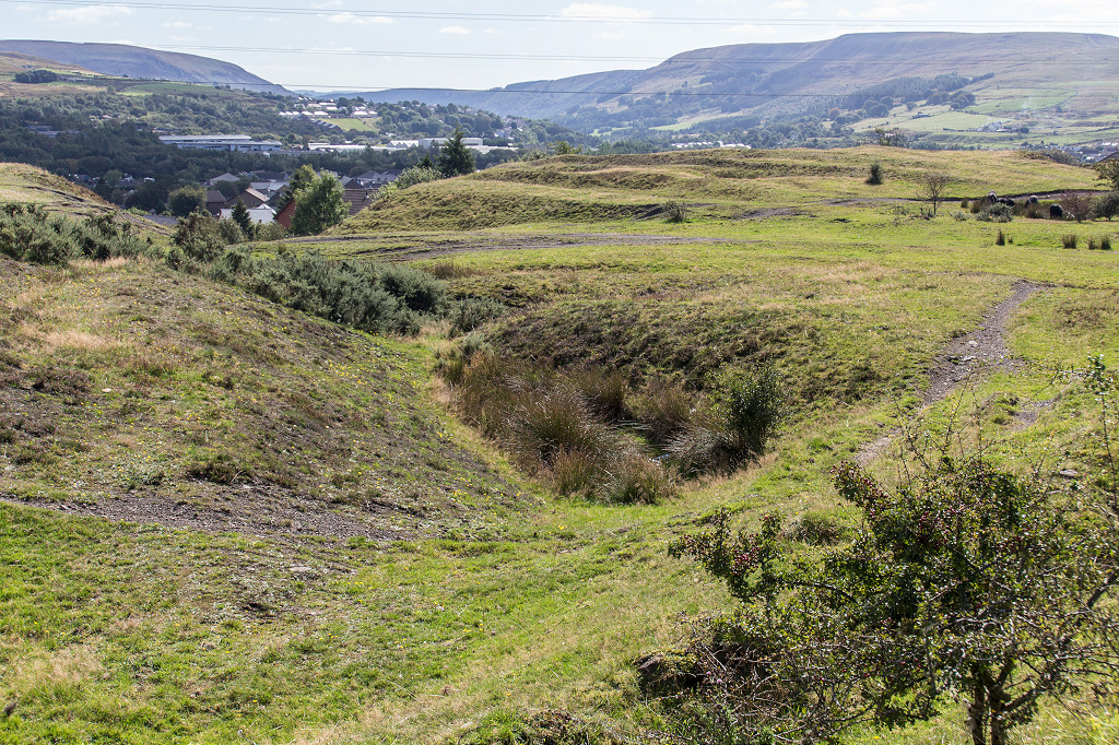
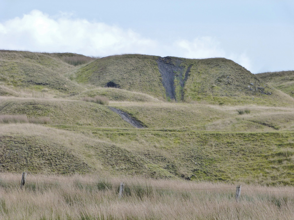
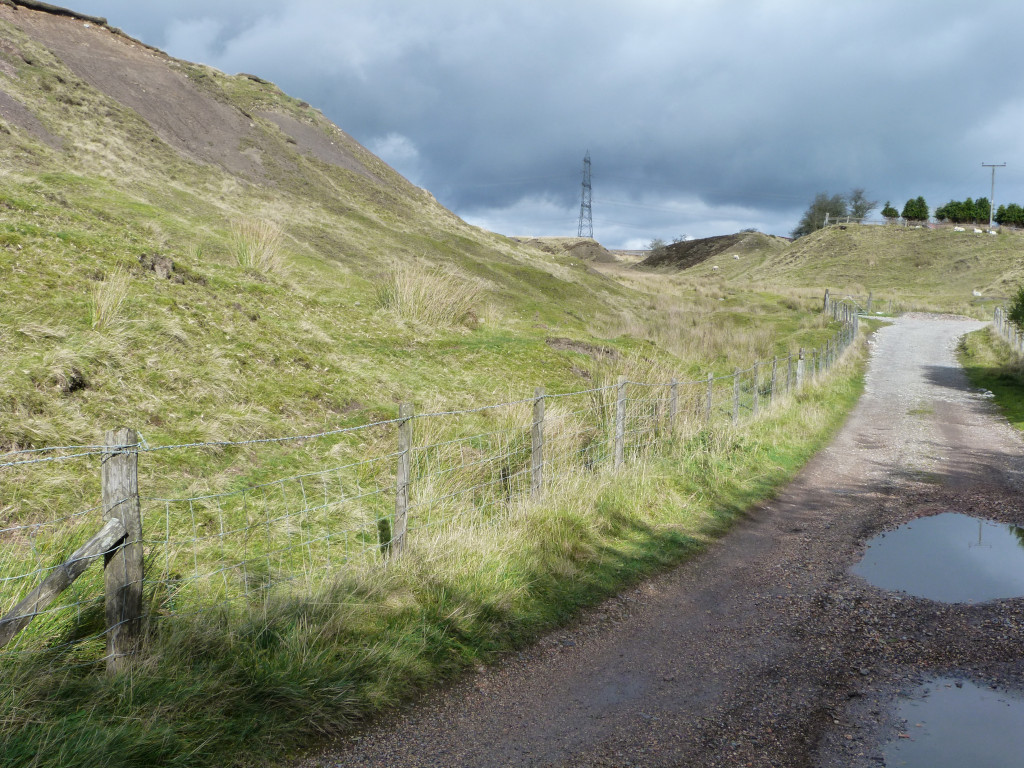
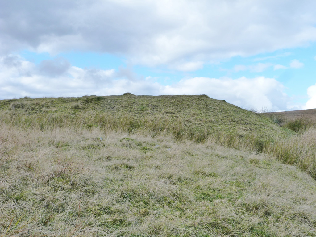
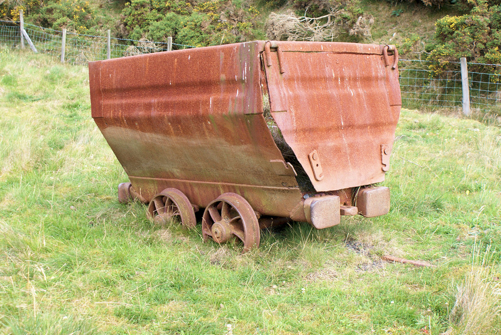
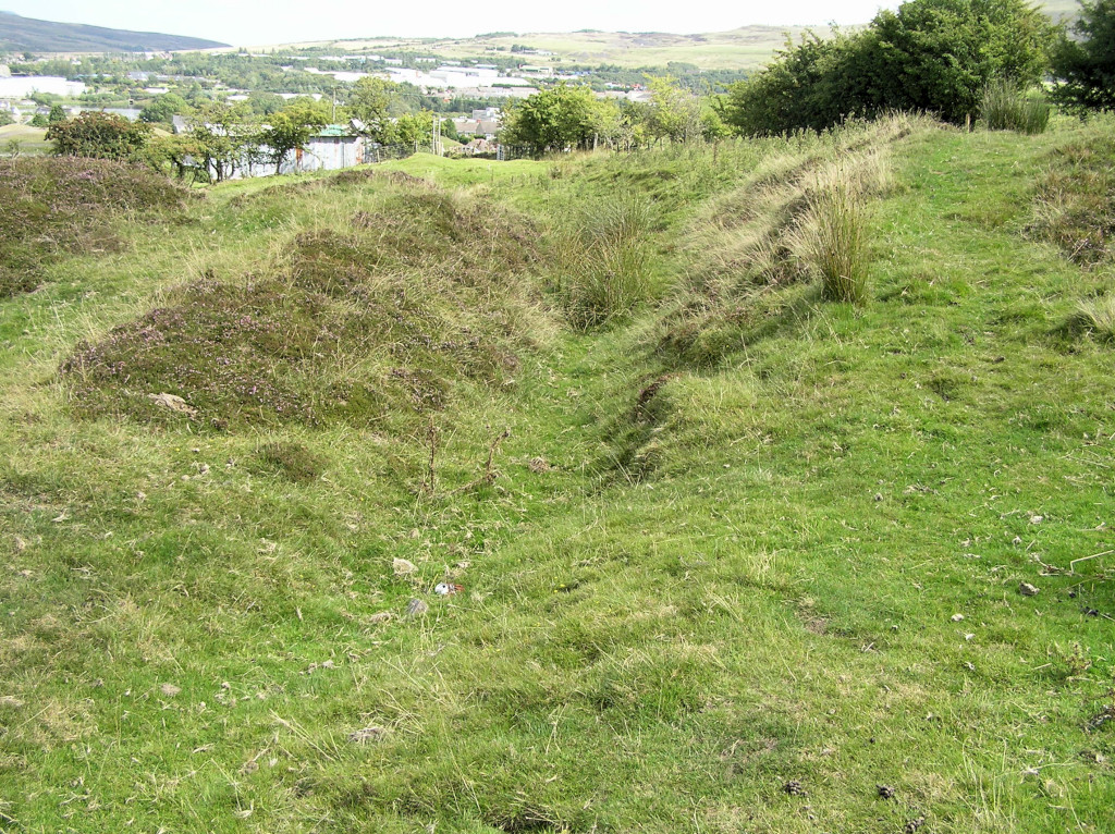 Winchestown tips |
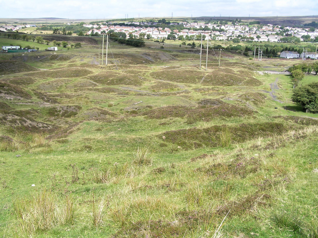 Winchestown tips |
Cokeyard Colliery - SO 1935 1065In March 2022 the shaft of Cokeyard Colliery collapsed under Nantyglo RFC's pitch. |
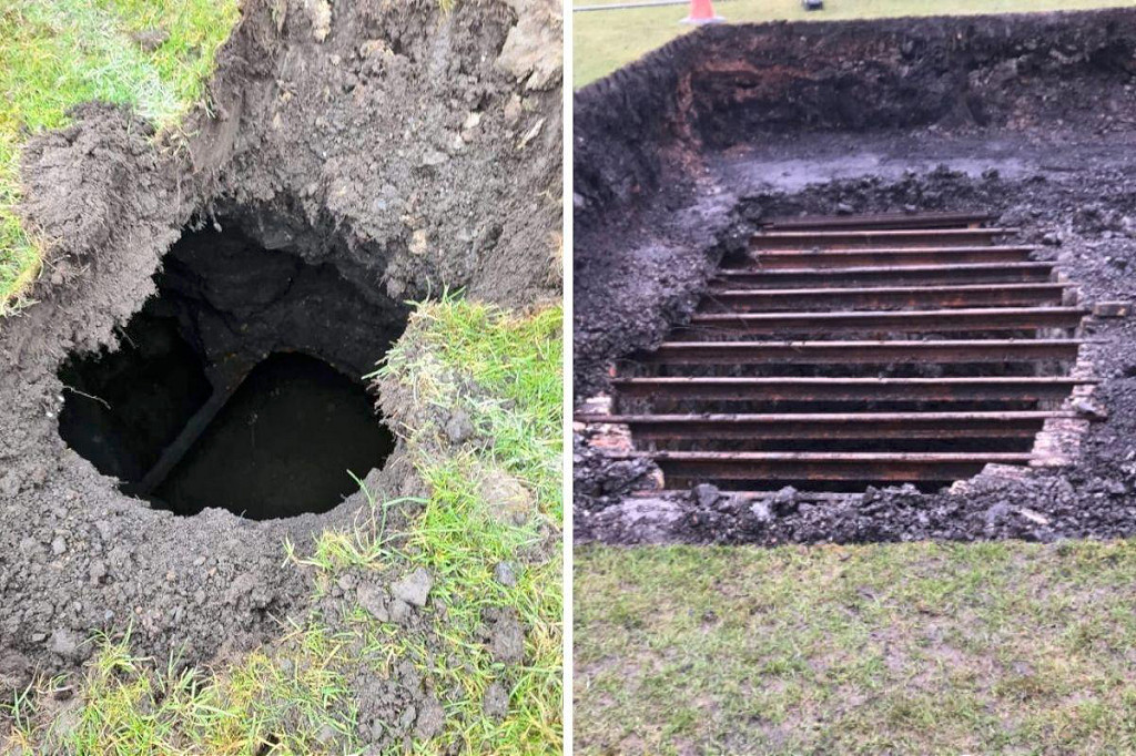 Cokeyard Colliery shaft |
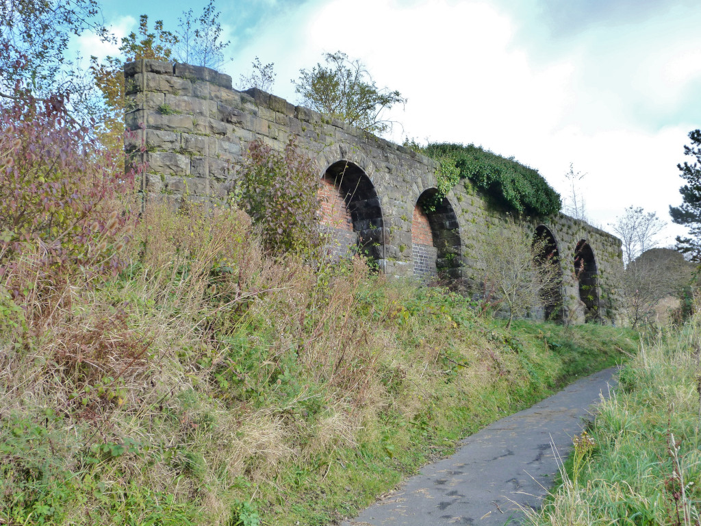
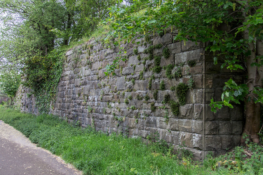
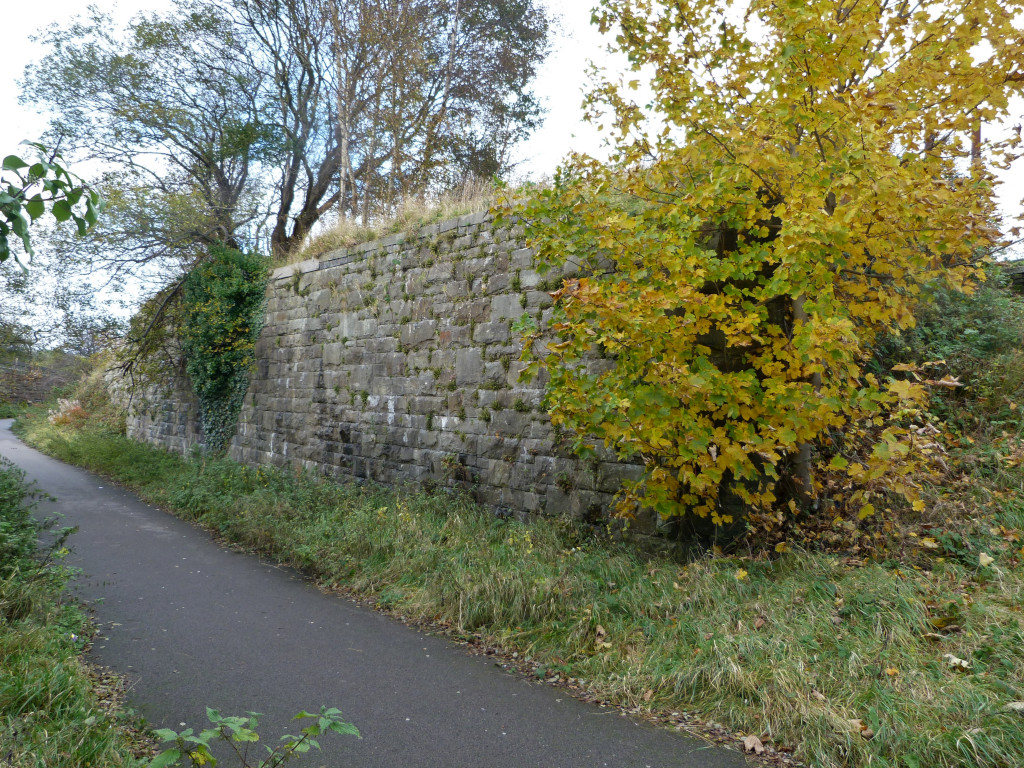
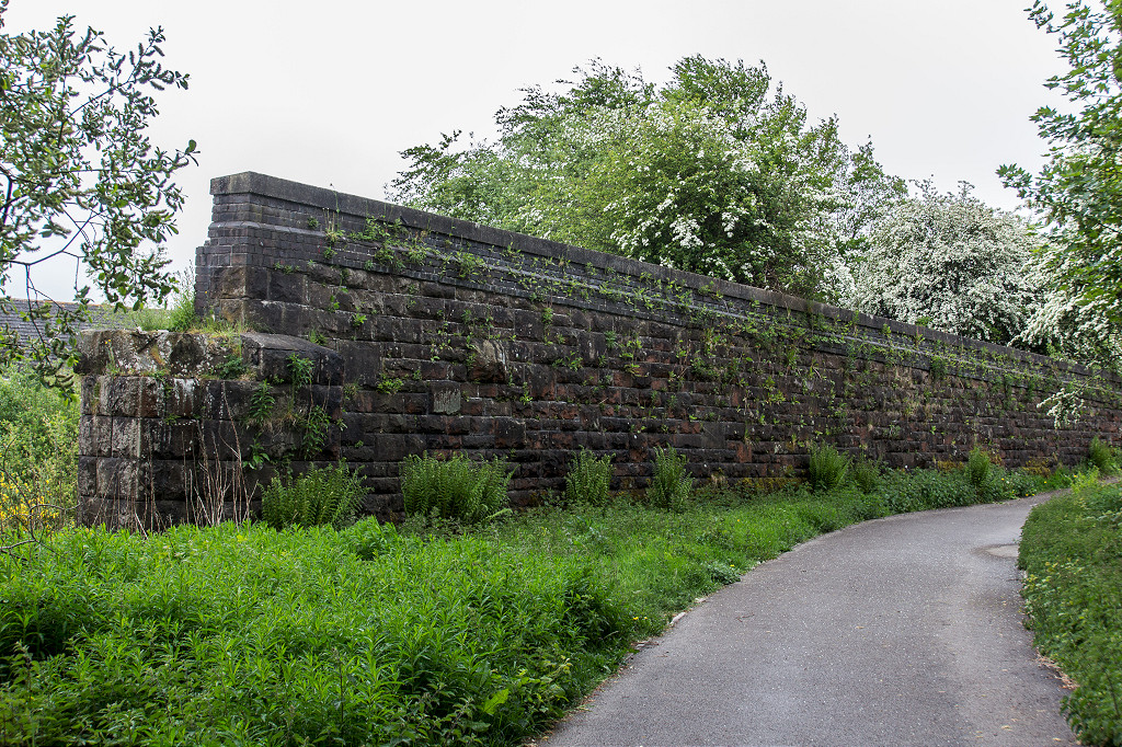
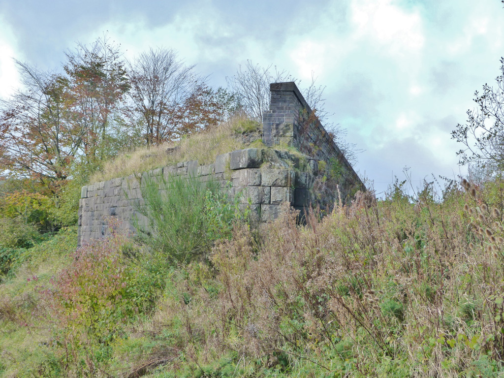
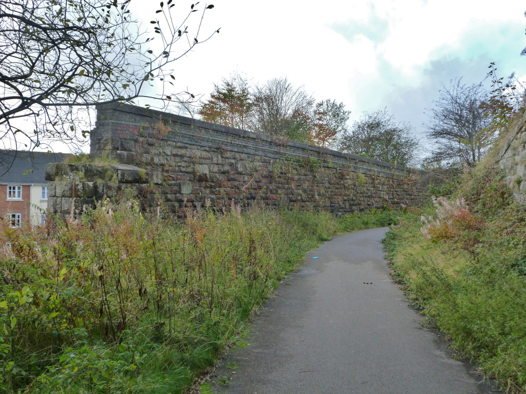
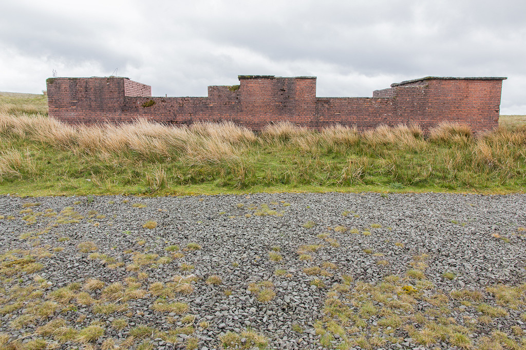
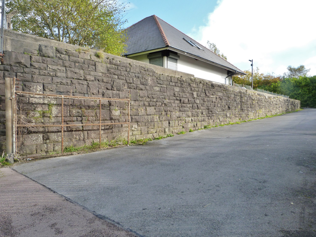 Retaining wall under Platform 4 |
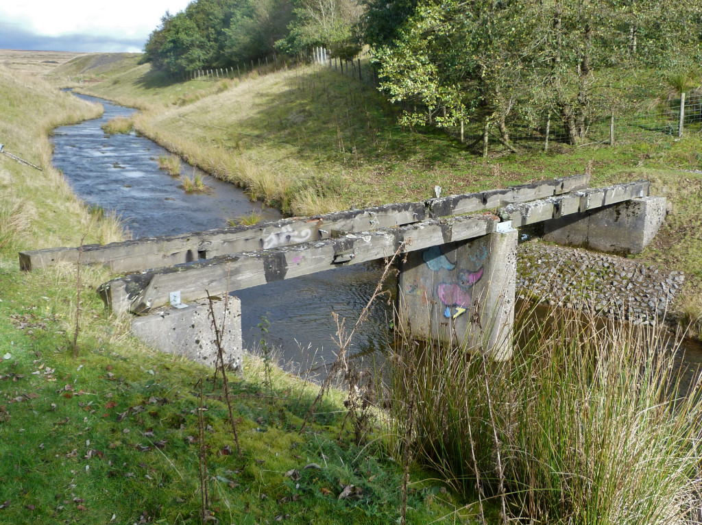
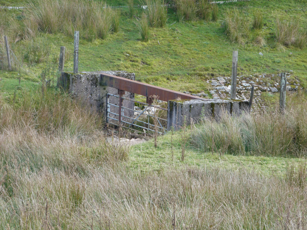
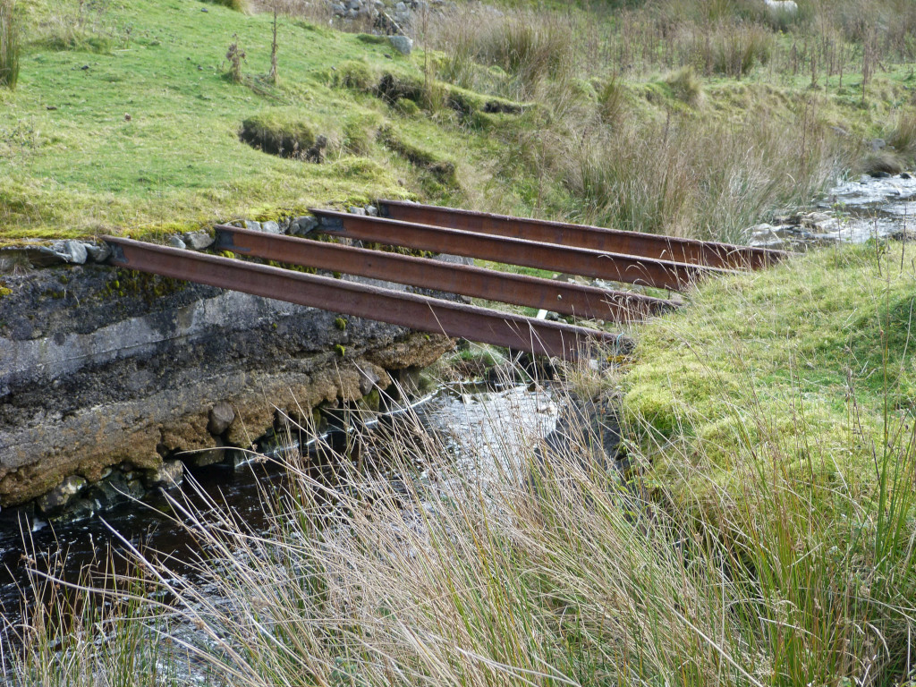
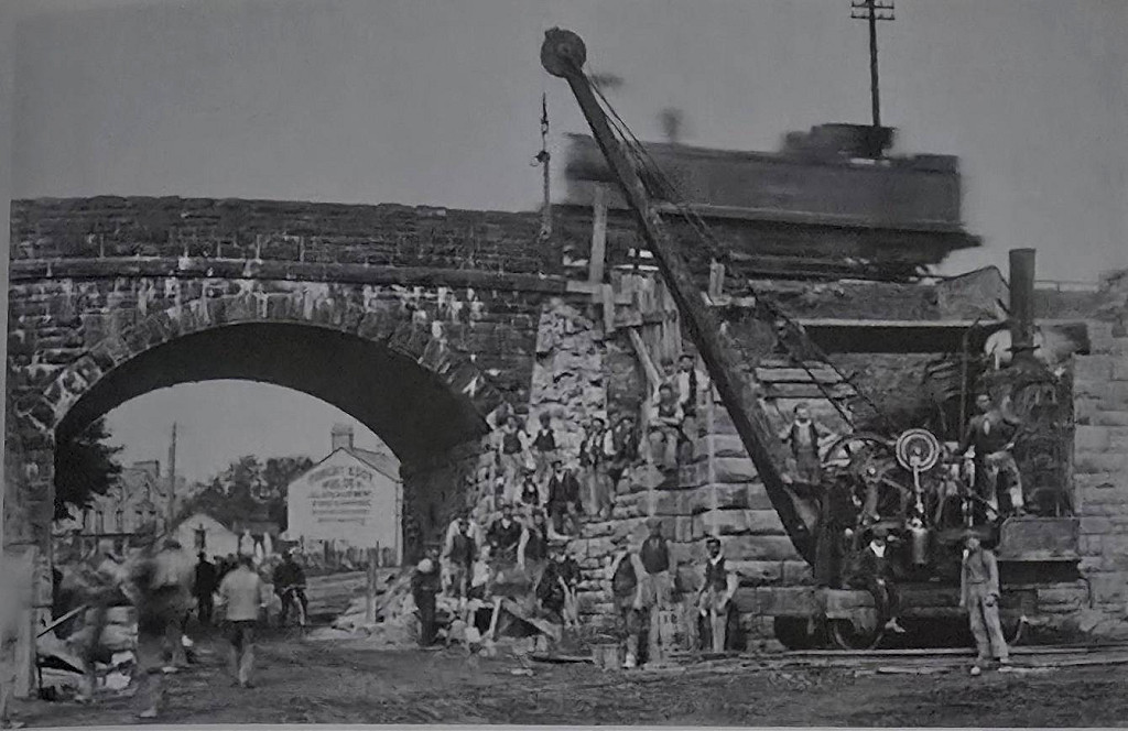 Bridge over Blaina Road |
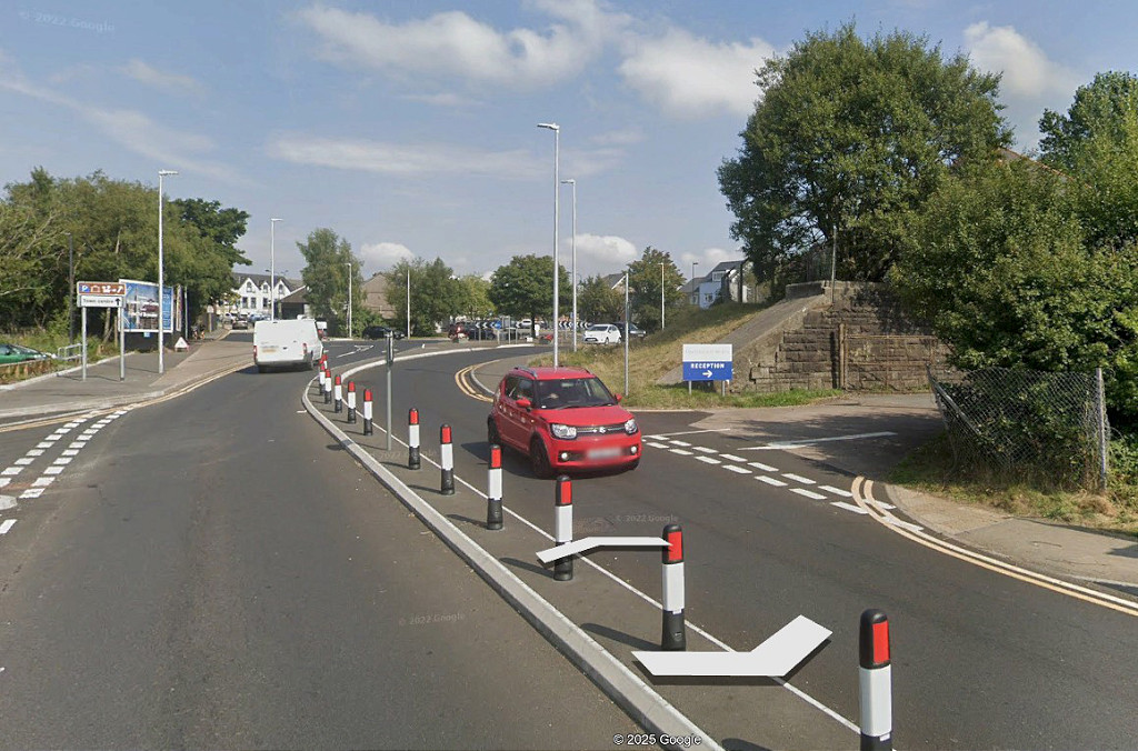 Bridge over Blaina Road |
|
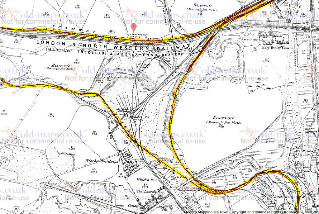
 Western Valley Junction, MTAR |
 Western Valley Junction, MTAR |
 Western Valley Junction, MTAR |
 Western Valley Junction, MTAR |
 Western Valley Junction, MTAR |
 Western Valley Junction, MTAR |
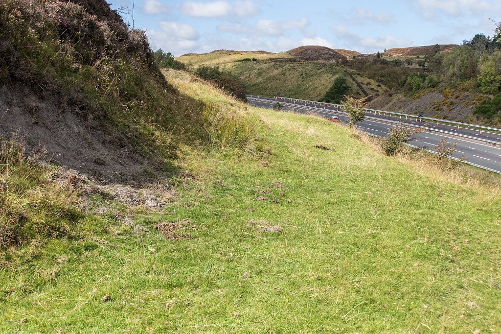
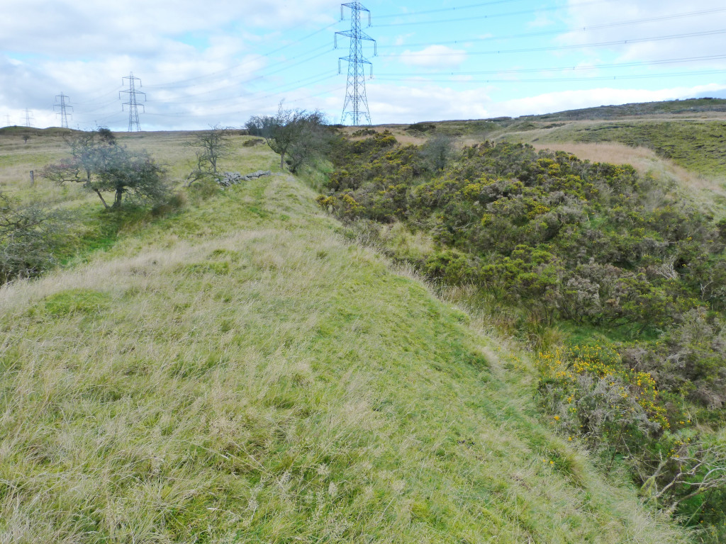
 The MTAR towards Brynmawr |
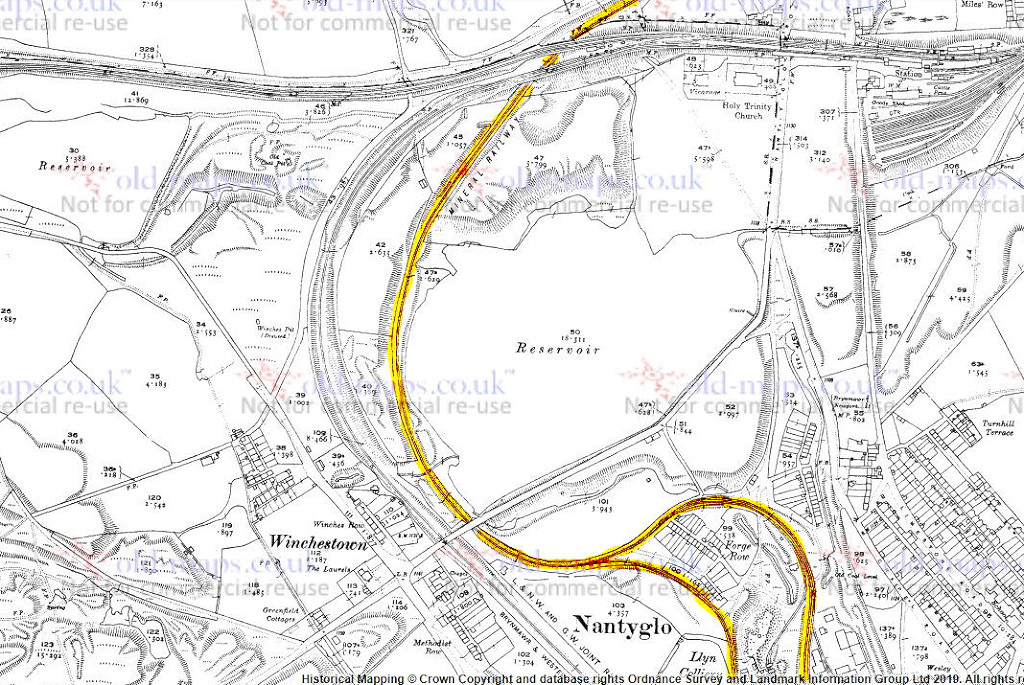
 Western Valley Junction, GWR |
 Western Valley Junction, GWR |
 Western Valley Junction, GWR |
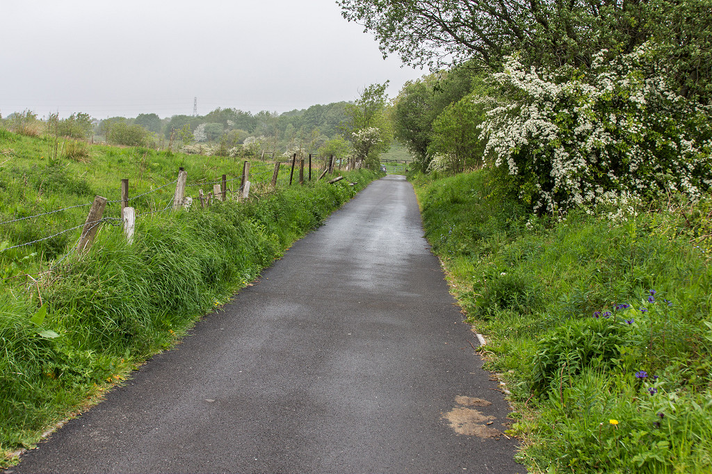
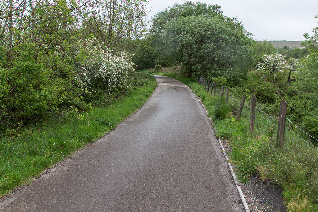
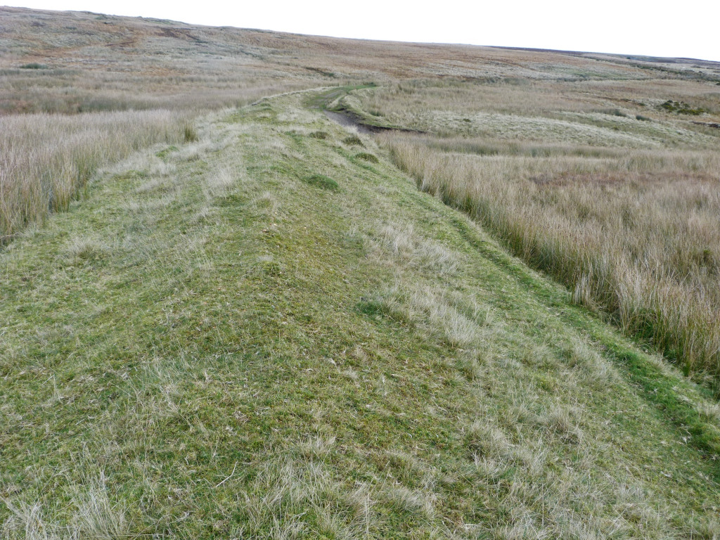
 The GWR trackbed to Nantyglo |
 The GWR trackbed to Nantyglo |
 The GWR trackbed to Nantyglo |
 The GWR trackbed to Nantyglo |
 The GWR trackbed to Nantyglo |
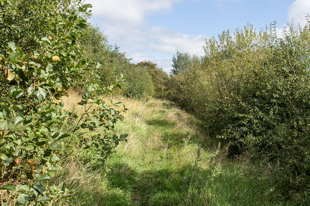
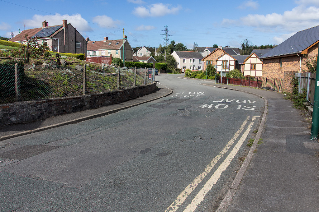
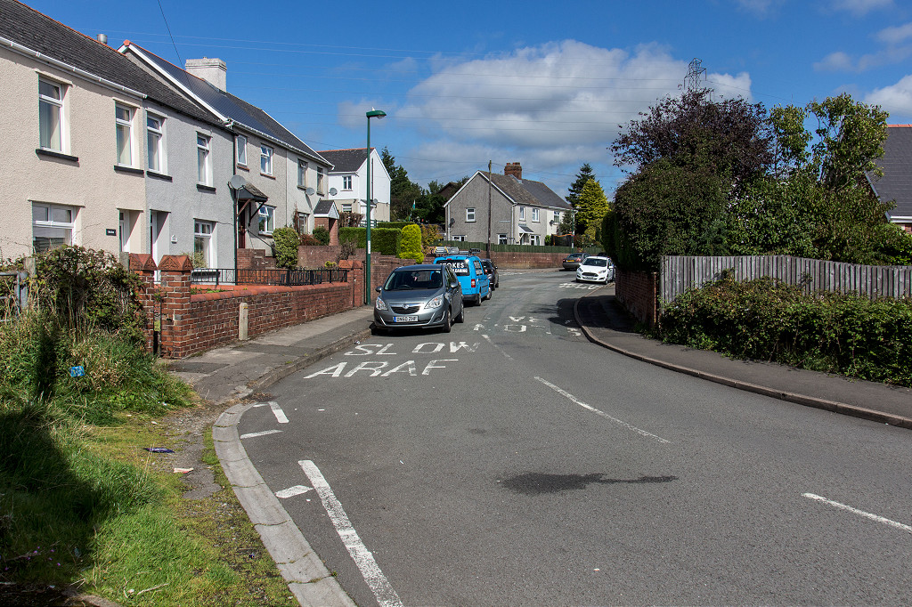
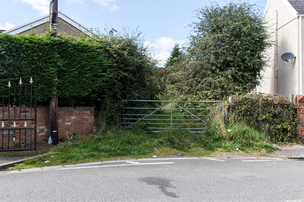
 Tramroad at Welfare Park |
 Tramroad at Park Crescent |
 Tramroad at Windsor Road |
 Tramroad at Windsor Road |
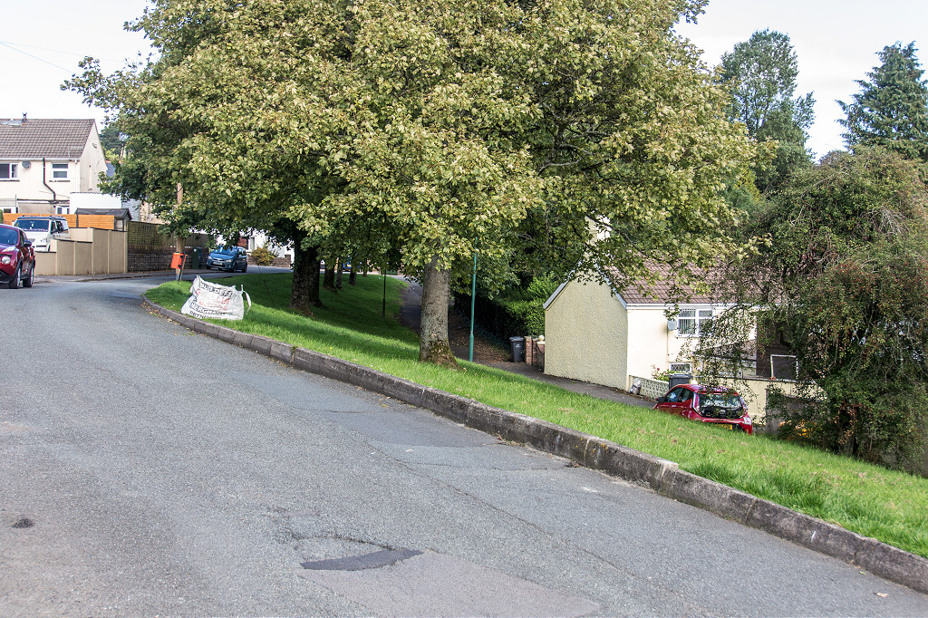
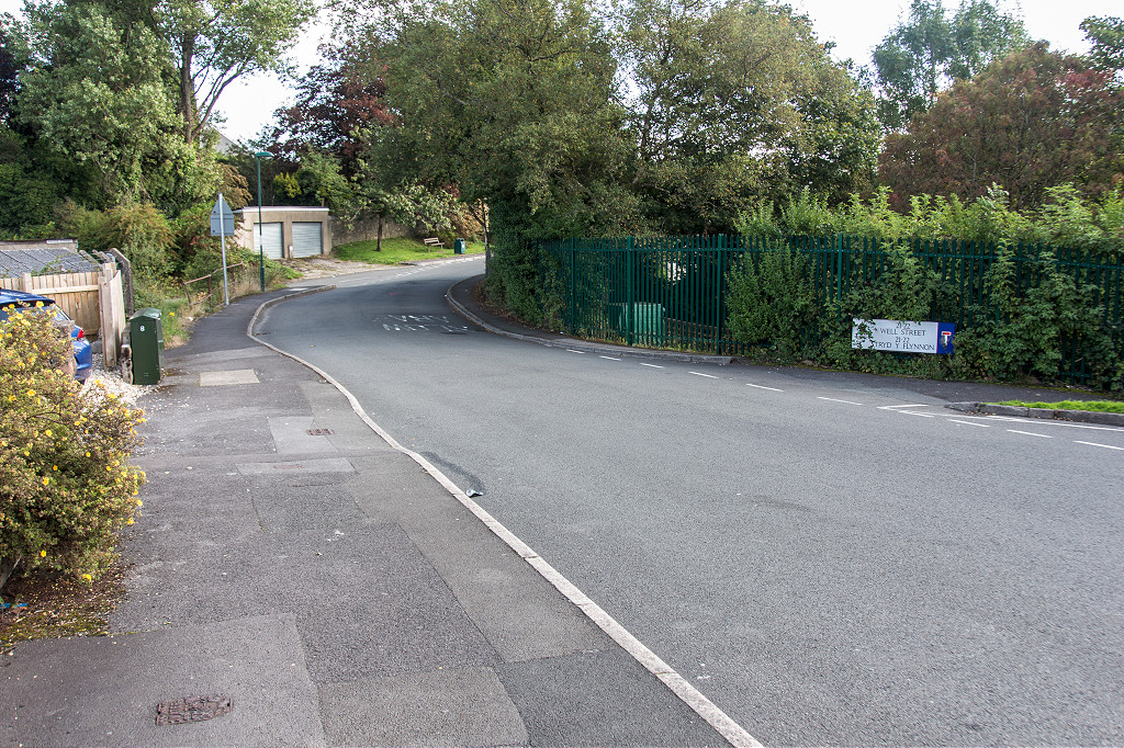
 Tramroad at Well Street |
 Tramroad at Well Street |
 Tramroad at Well Street |
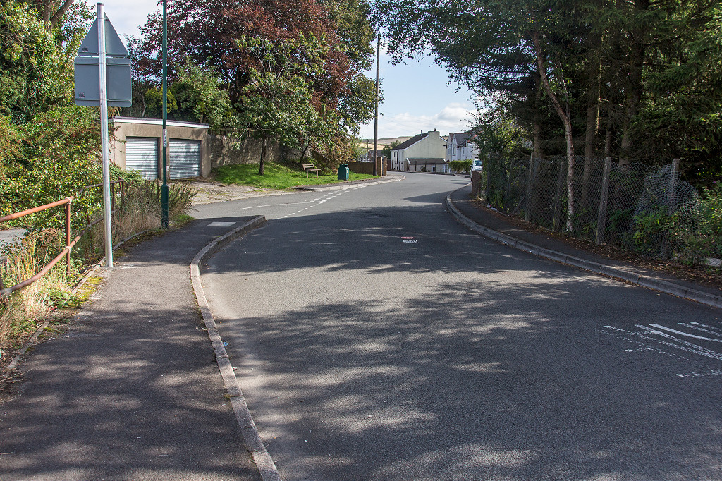
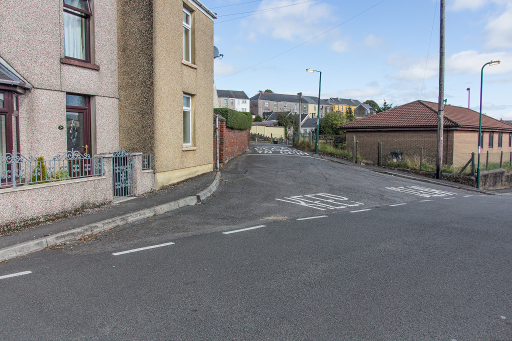
 Tramroad crossing King Street |
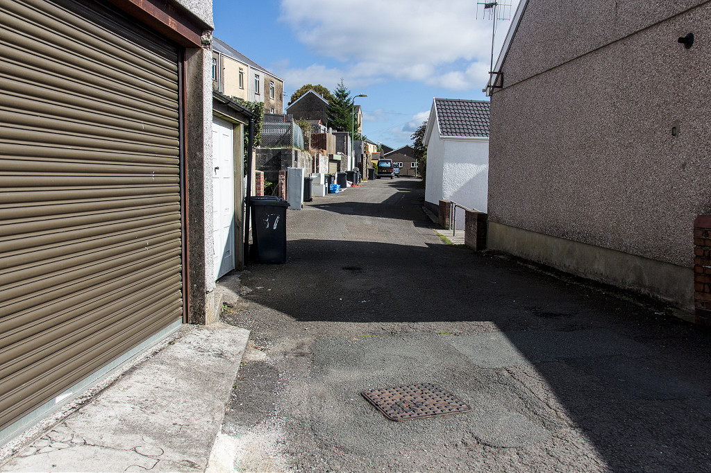
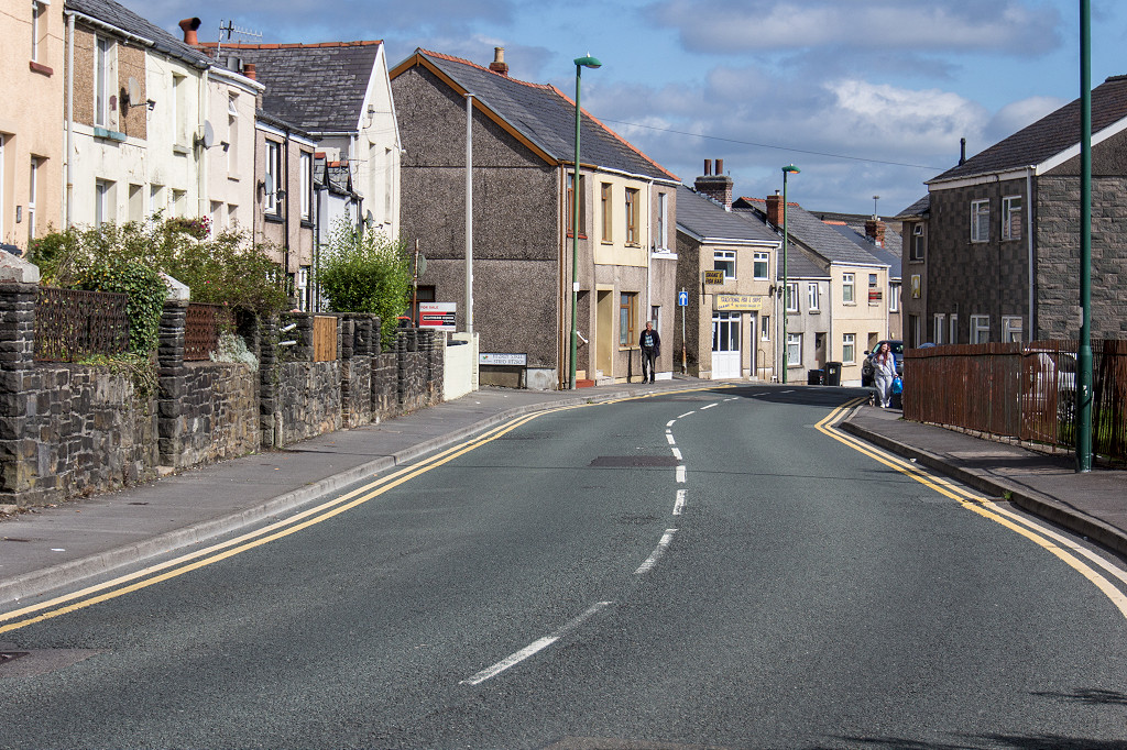
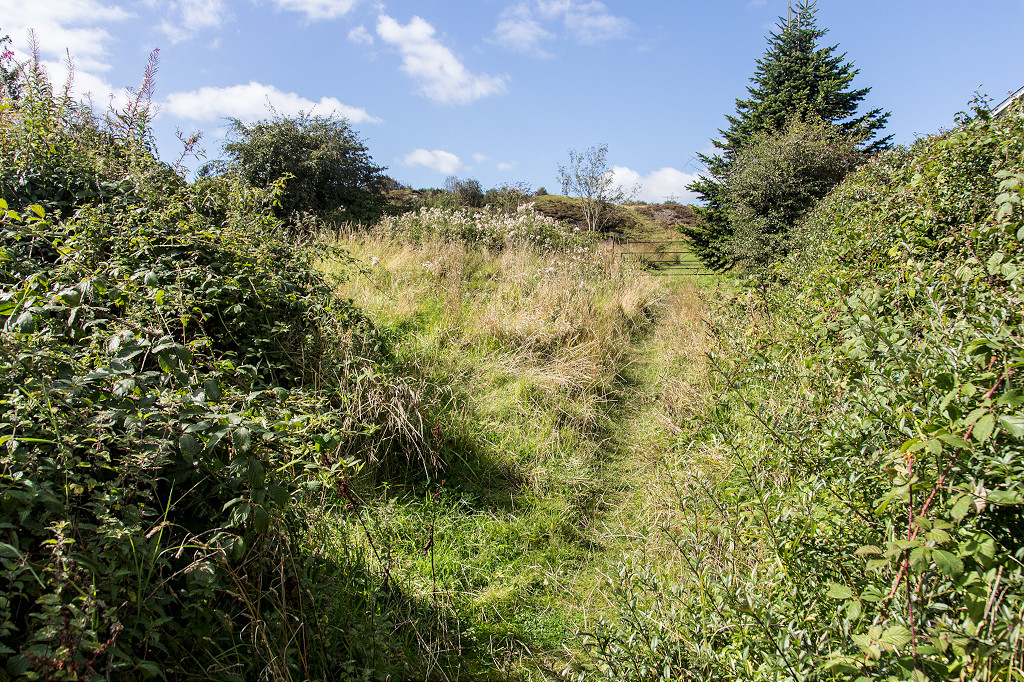
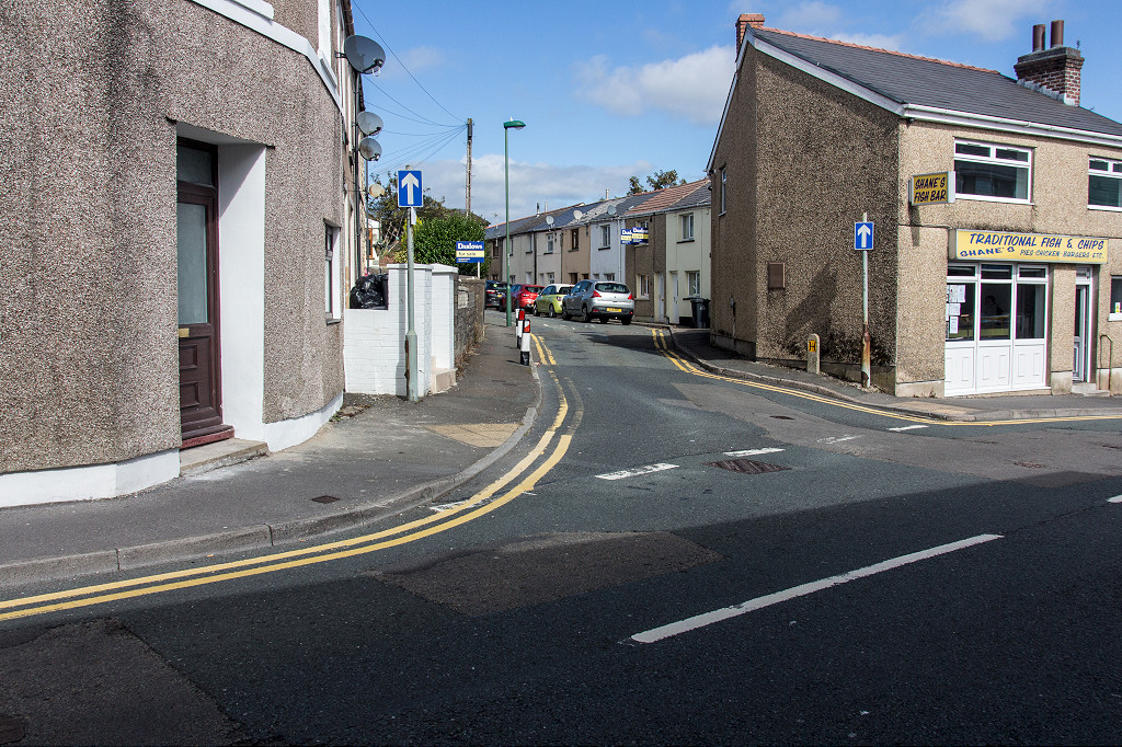 Tramroad along Clydach Street |
 Tramroad along Clydach Street |
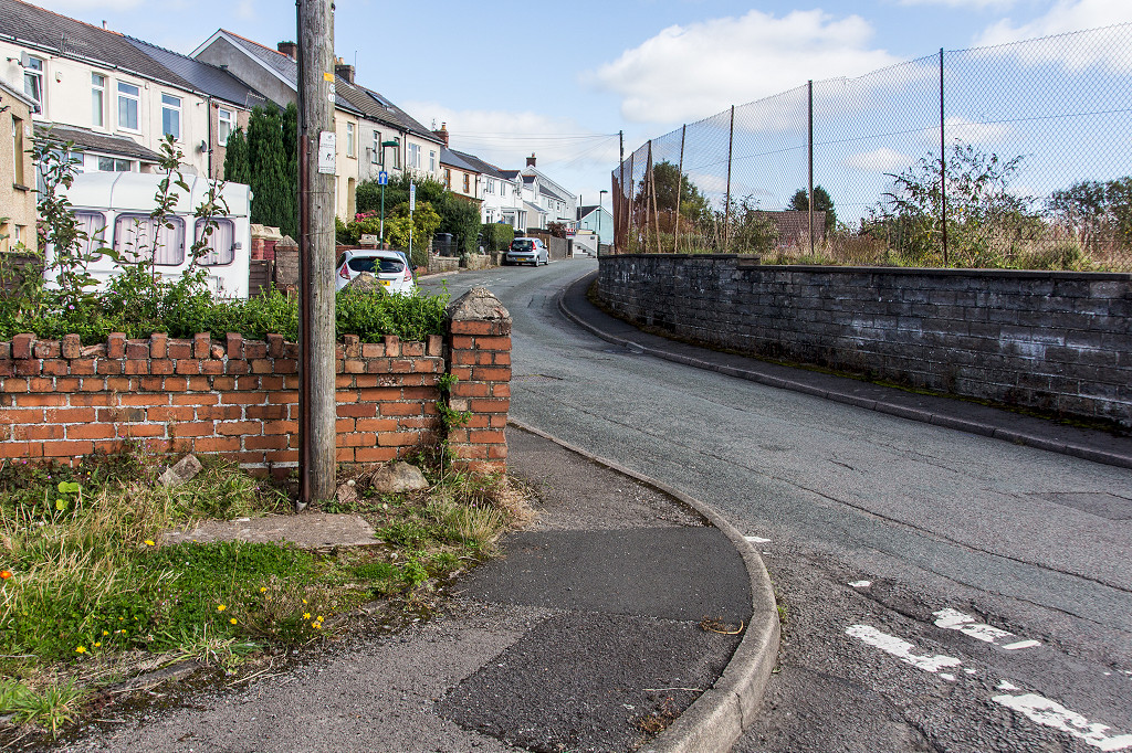 Tramroad along Clydach Street |
 Tramroad along Clydach Street |
 Tramroad along Clydach Street |
 Tramroad along Clydach Street |
 Tramroad along Clydach Street |
 Tramroad along Clydach Street |
 Tramroad along Clydach Street |
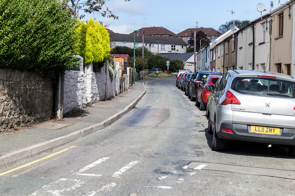
 Tramroad to the Clydach bridge |
 Tramroad to the Clydach bridge |
 Tramroad to the Clydach bridge |
 Tramroad to the Clydach bridge |
 Tramroad to the Clydach bridge |
 Tramroad to the Clydach bridge |
 Tramroad to the Clydach bridge |
 Tramroad to the Clydach bridge |
 Tramroad to the Clydach bridge |
||
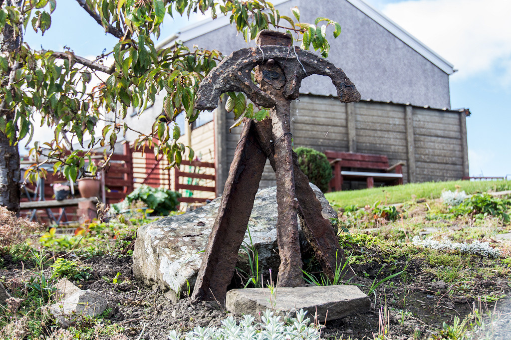 Disgwylfa Tramroad garden |
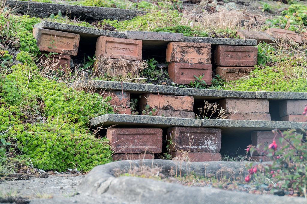 Disgwylfa Tramroad garden |
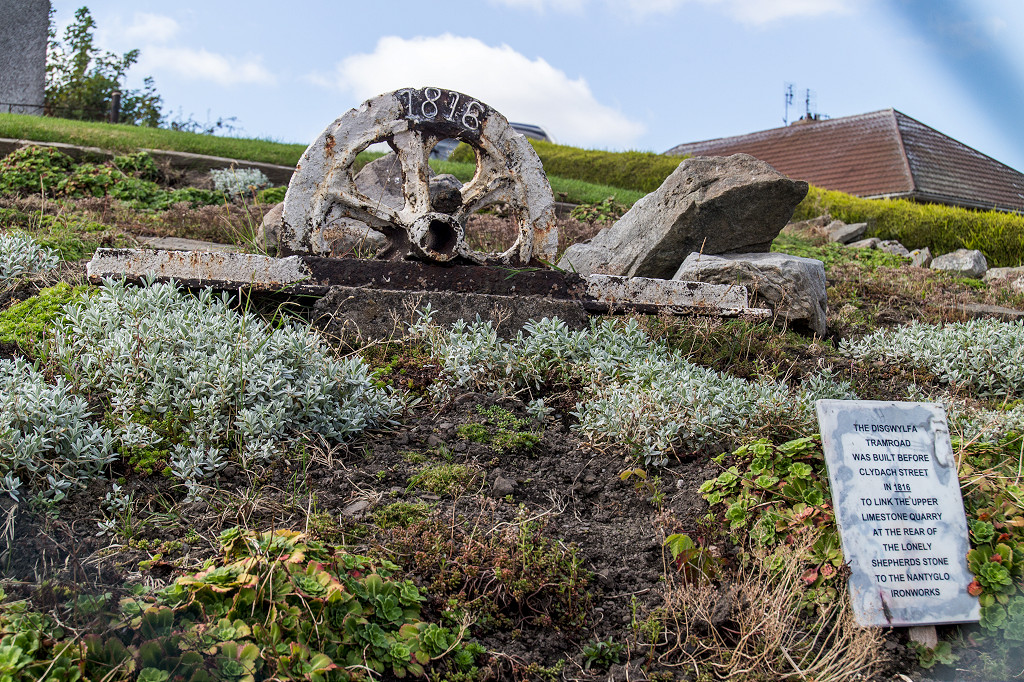 Disgwylfa Tramroad garden |
 Tramroad at Lower Bailey Street |
 Tramroad at Lower Bailey Street |
 Tramroad at Lower Bailey Street |
 Tramroad at Lower Bailey Street |
 Tramroad at Lower Bailey Street |
 Tramroad at Intermediate Road |
 Baileys tramroad sidings |
 Baileys tramroad sidings |
 Baileys tramroad sidings |
 Baileys tramroad sidings |
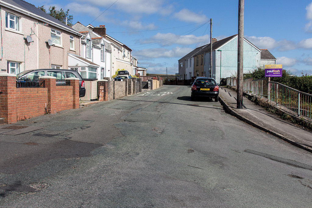
 The Railroad along Alma Street |
 The Railroad along Alma Street |
 The Railroad along Alma Street |
 The Railroad along Alma Street |
 West Brynmawr tramroads, 1880 |
 West Brynmawr tramroads, 1920 |
 Nantyglo to Beaufort link |
 Disgwylfa Tramroad at Winches Pit |
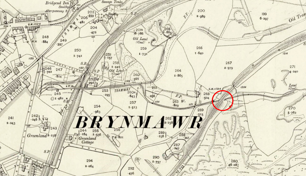 Tramway under the Blaenavon Branch |
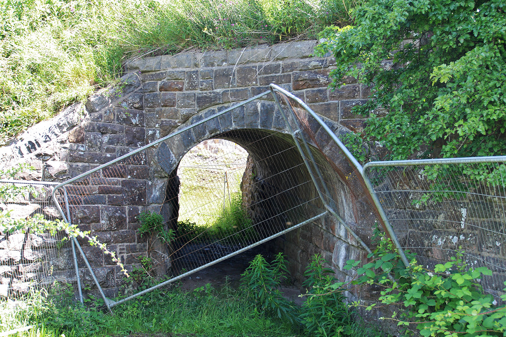 Tramway under the Blaenavon Branch |
 Tramway under the Blaenavon Branch |
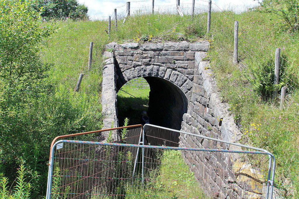 Tramway under the Blaenavon Branch |
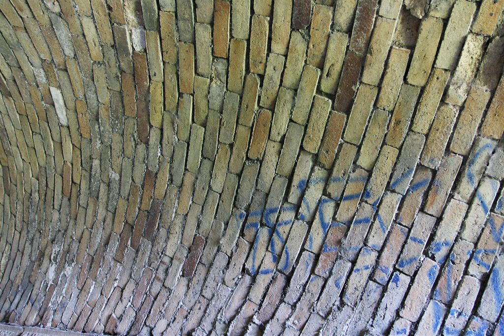 Tramway under the Blaenavon Branch |
 Blaenavon Branch above the tunnel |
 Blaenavon Branch above the tunnel |
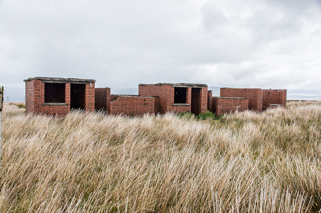
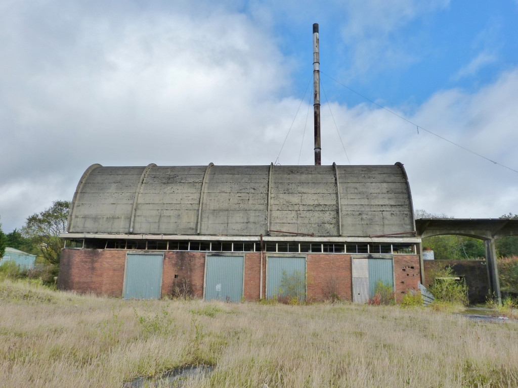 Dunlop Semtex boiler house |
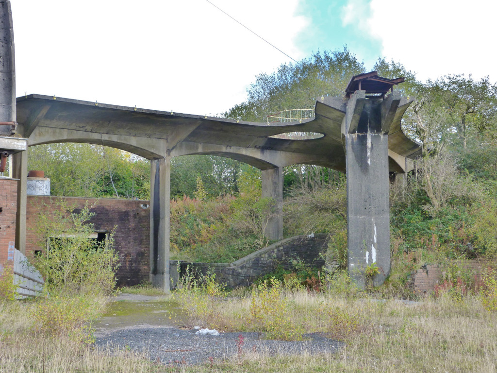 Dunlop Semtex boiler house |
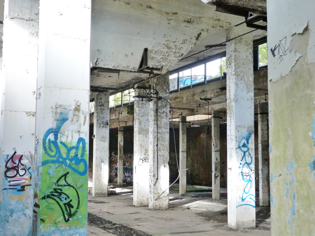 Dunlop Semtex boiler house |
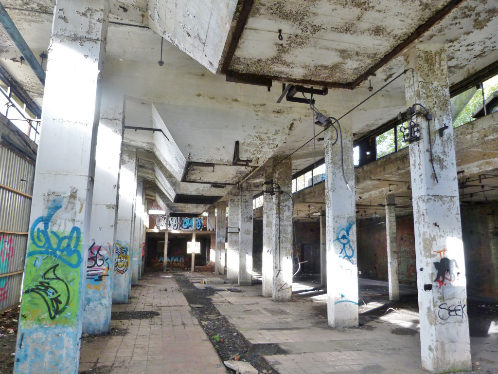 Dunlop Semtex boiler house |
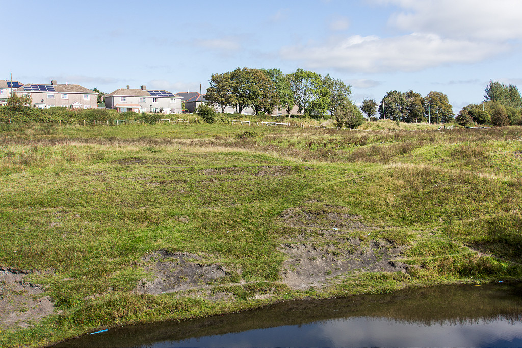
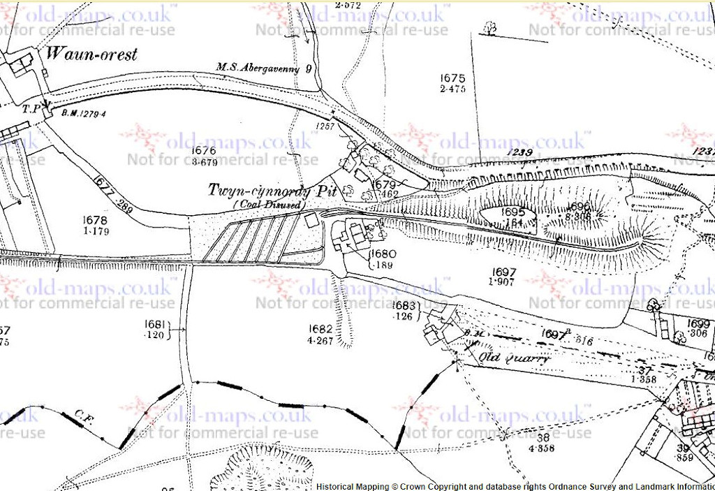 Twyn Cynnordy Pit, Brynmawr |
 Twyn Cynnordy Pit, Brynmawr |
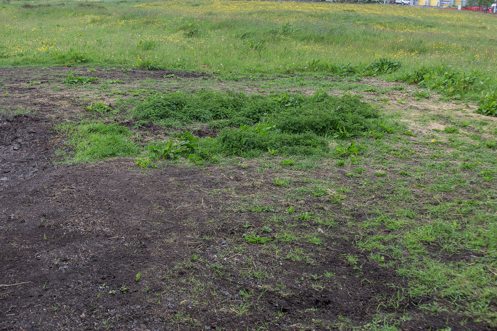 Twyn Cynnordy Pit, Brynmawr |
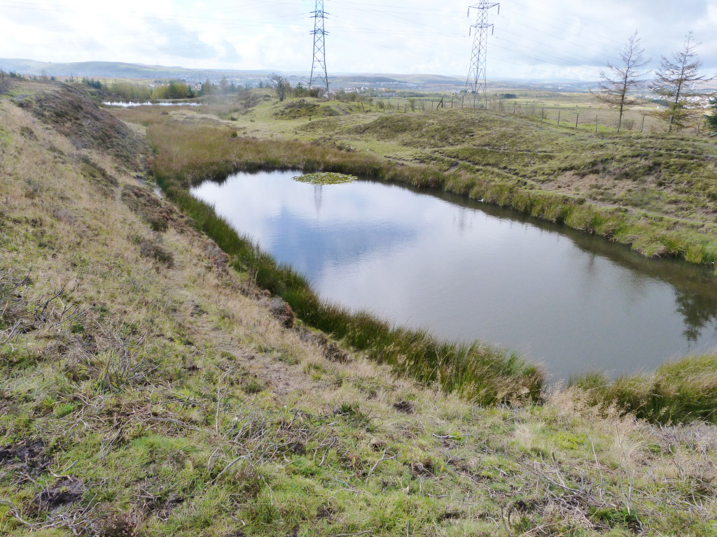
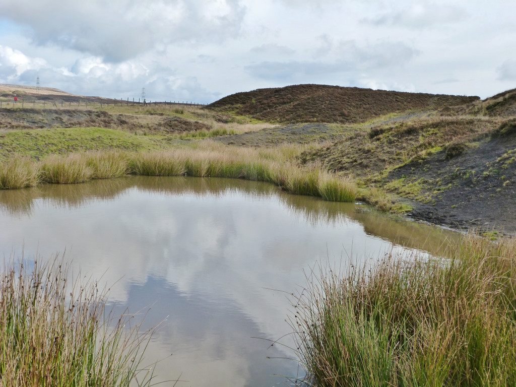
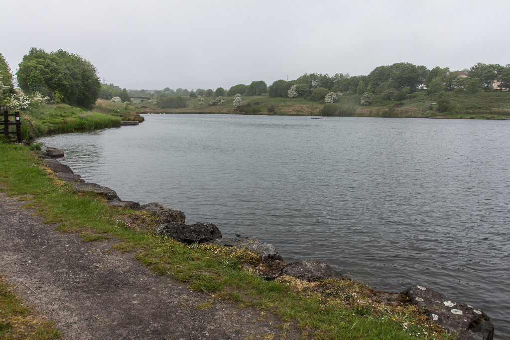 Machine Pond, Brynmawr |
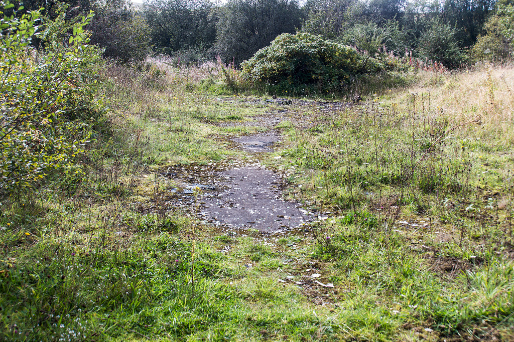 Winches Pit, Brynmawr |
 Winches Pit, Brynmawr |
 Winches Pit, Brynmawr |
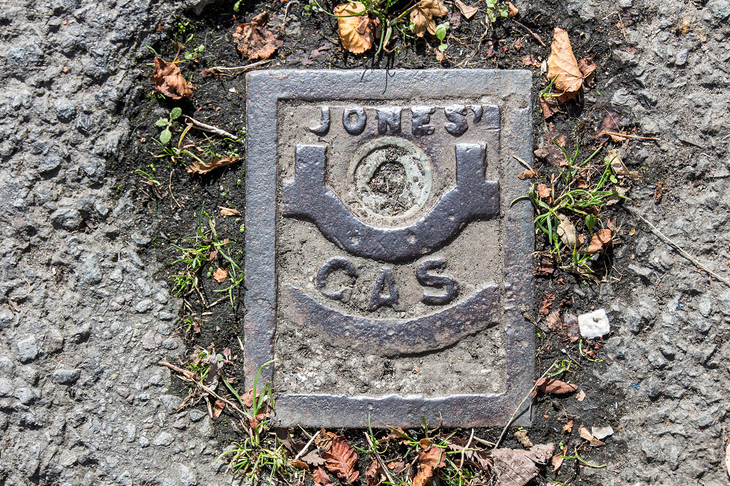 'Jones Gas Patent' inspecton cover |
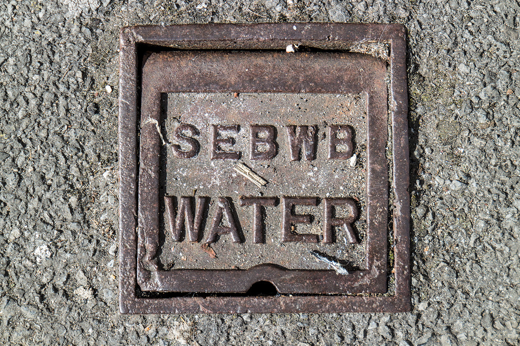 'SEBWB Water' inspecton cover |
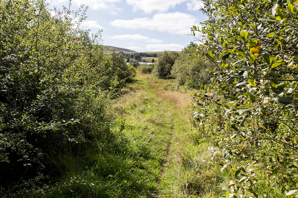
 Disgwylfa Tramroad, Brynmawr |
 Disgwylfa Tramroad, Brynmawr |
 Disgwylfa Tramroad, Brynmawr |
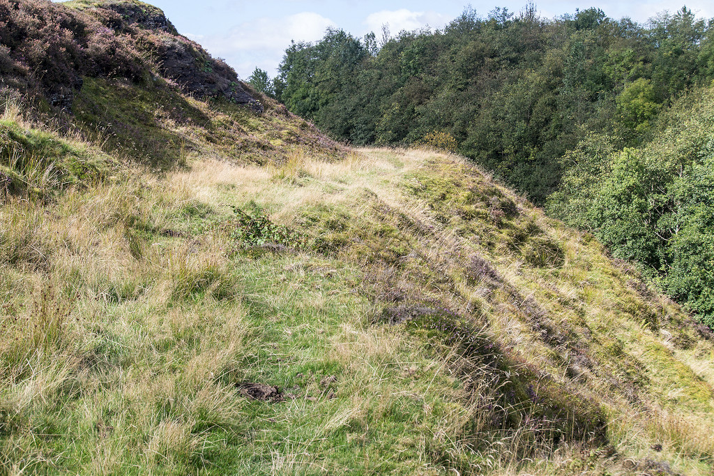
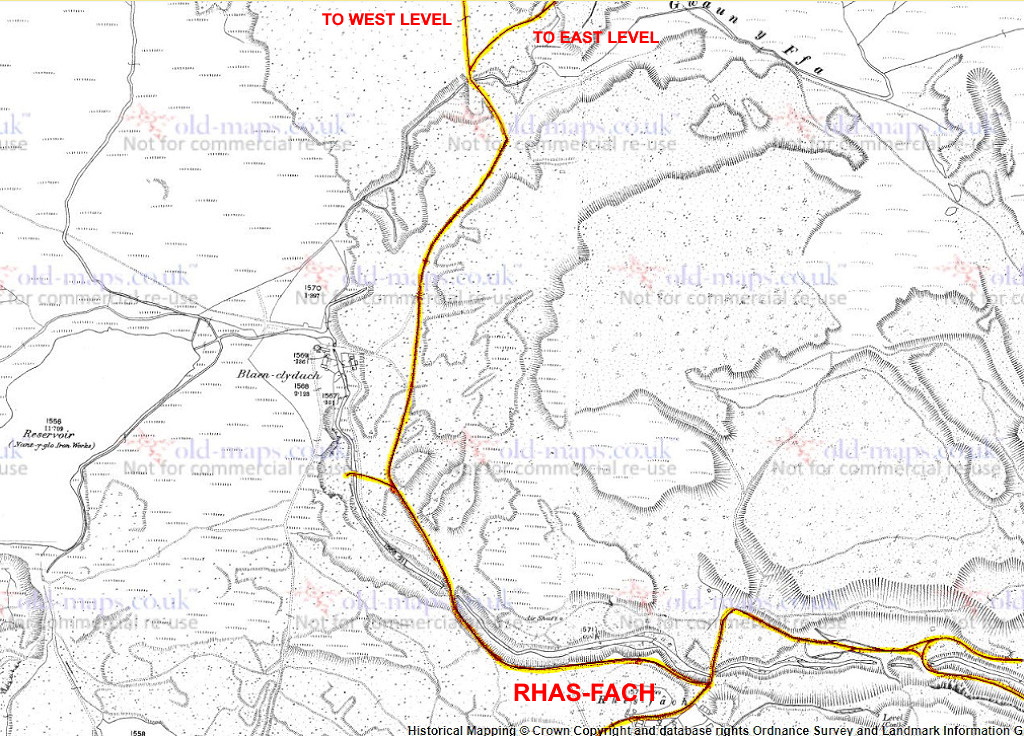
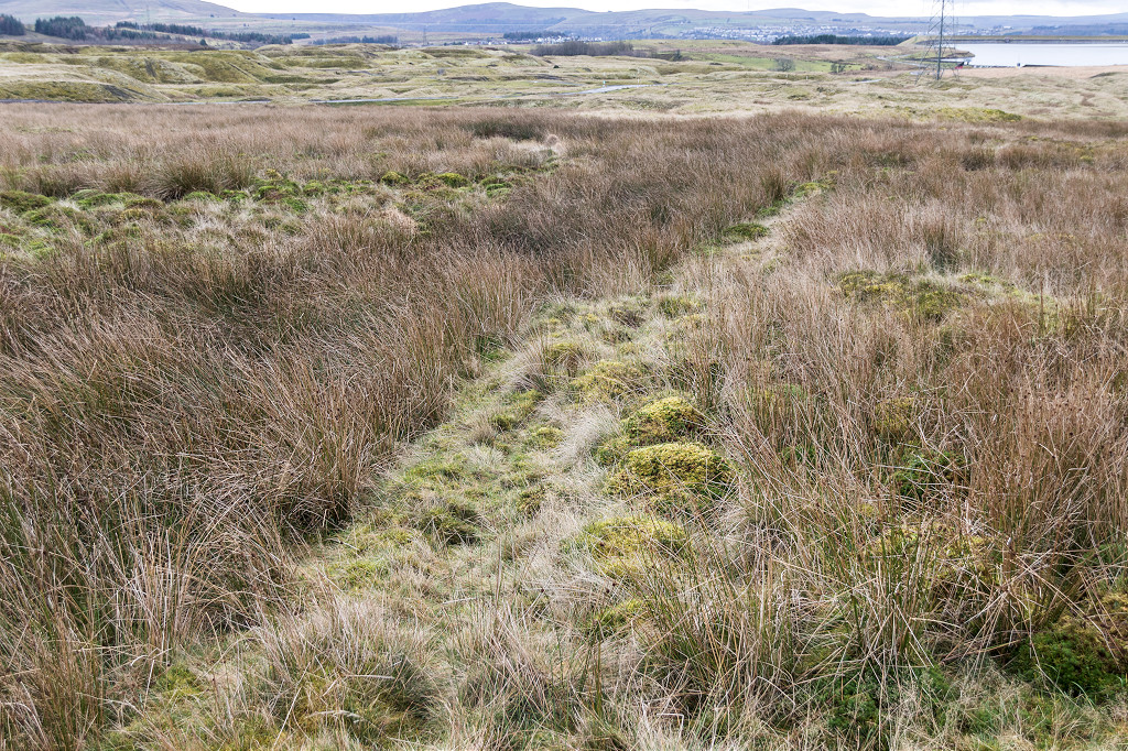
 Tramroad near Rhas Fach |
 Tramroad near Rhas Fach |
 Tramroad near Rhas Fach |
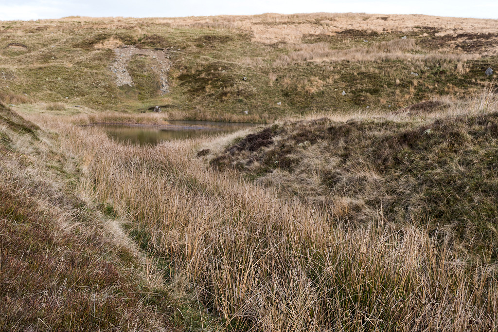
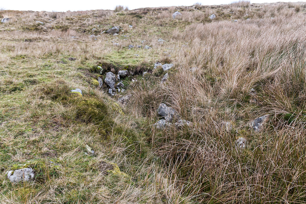
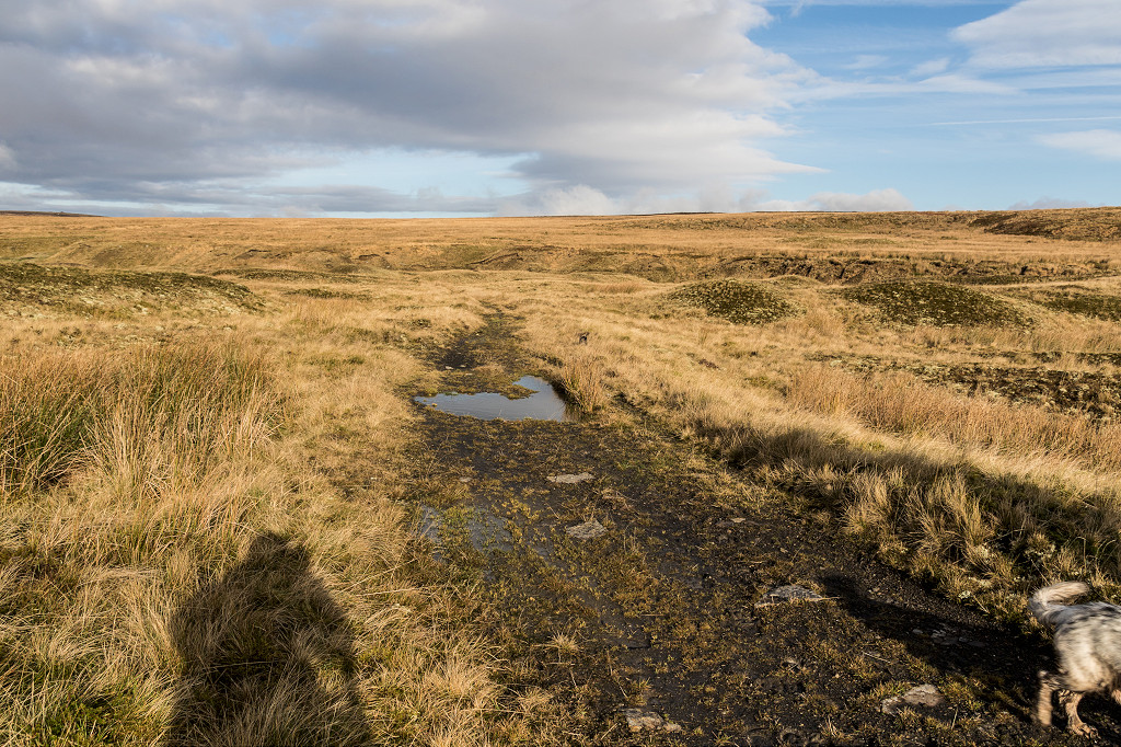
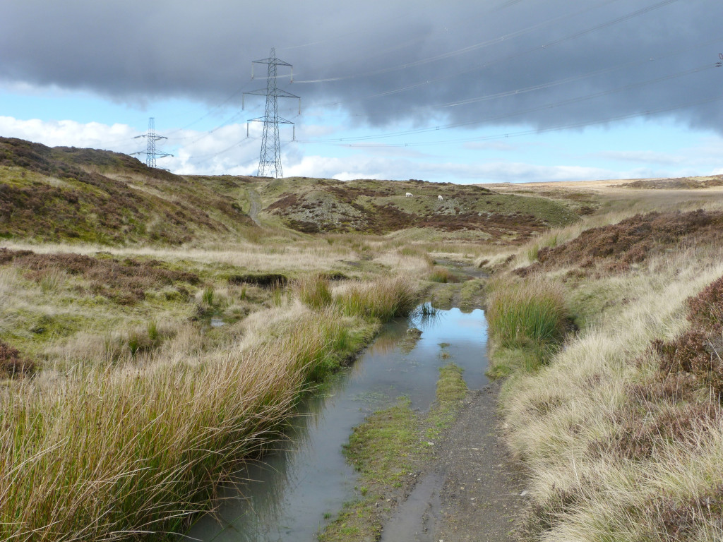
 Rhas Fach ponds |
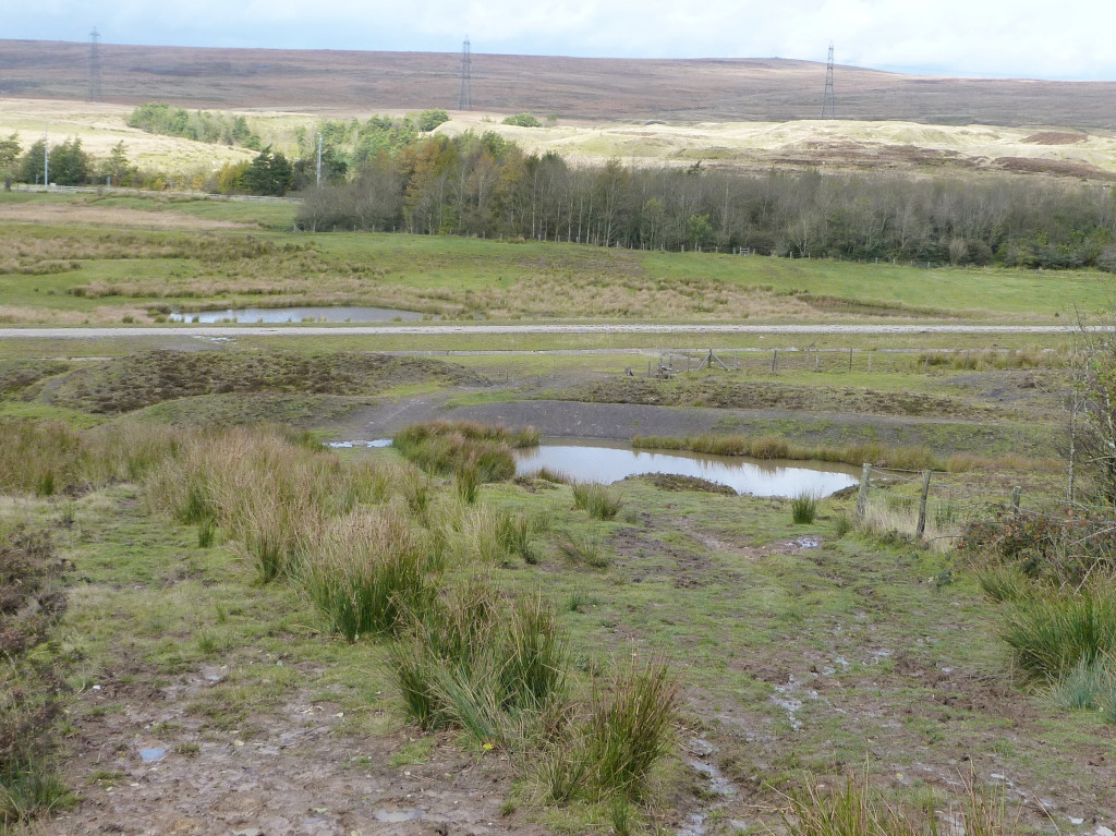 Rhas Fach ponds |
 Rhas Fach ponds |
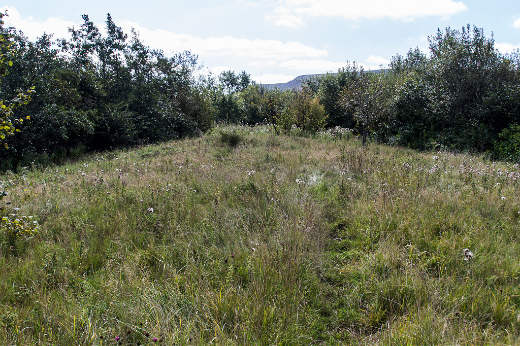
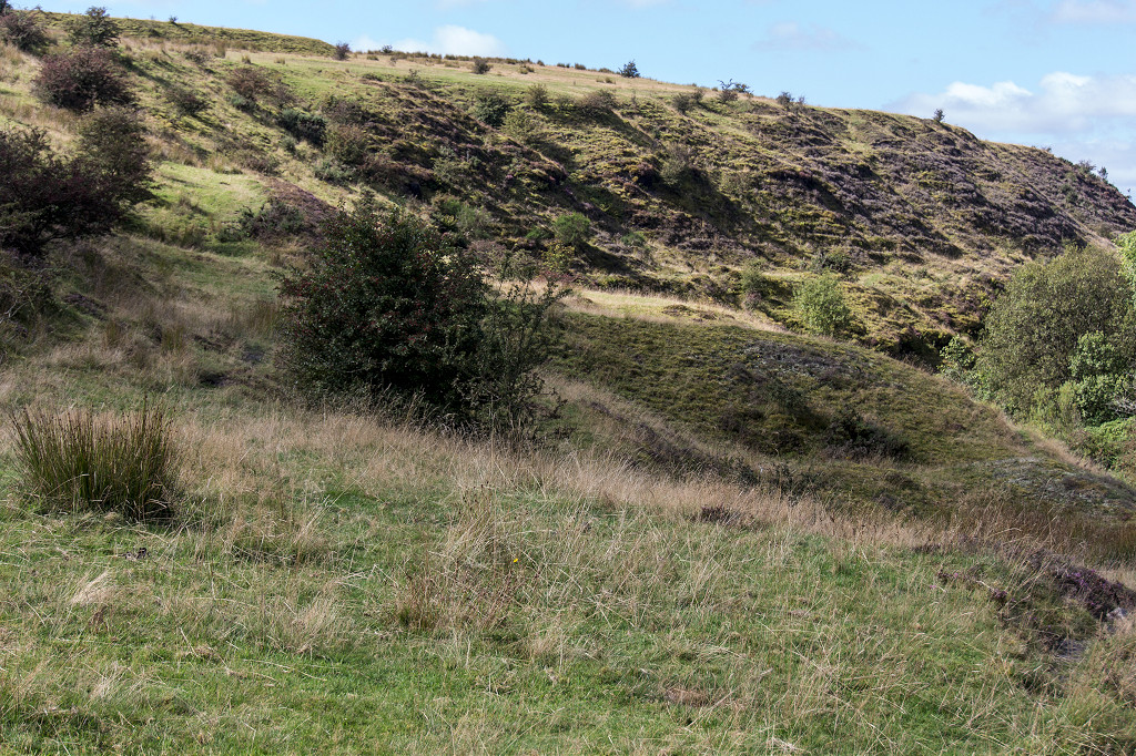
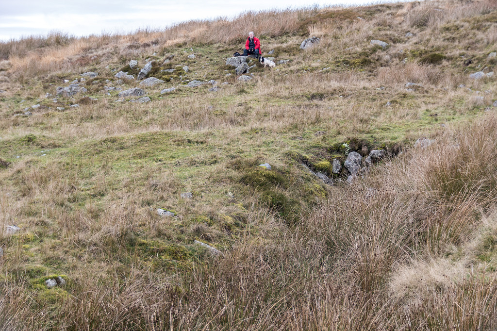
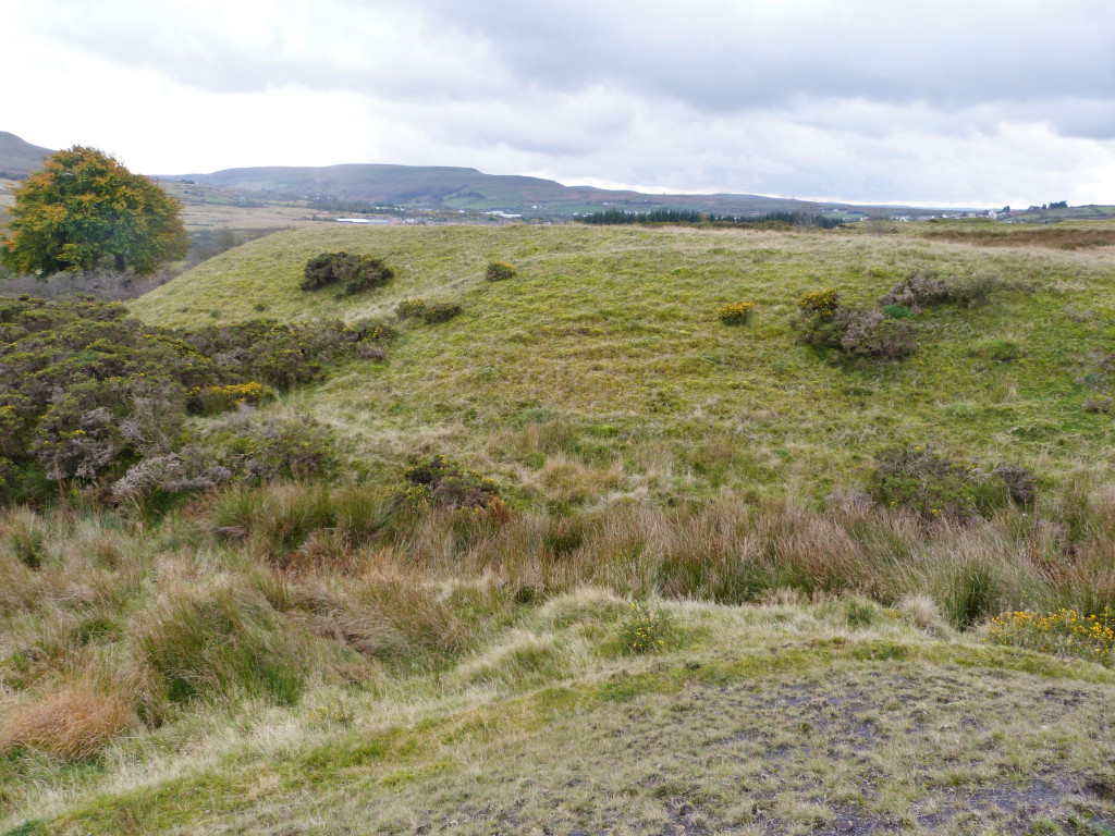
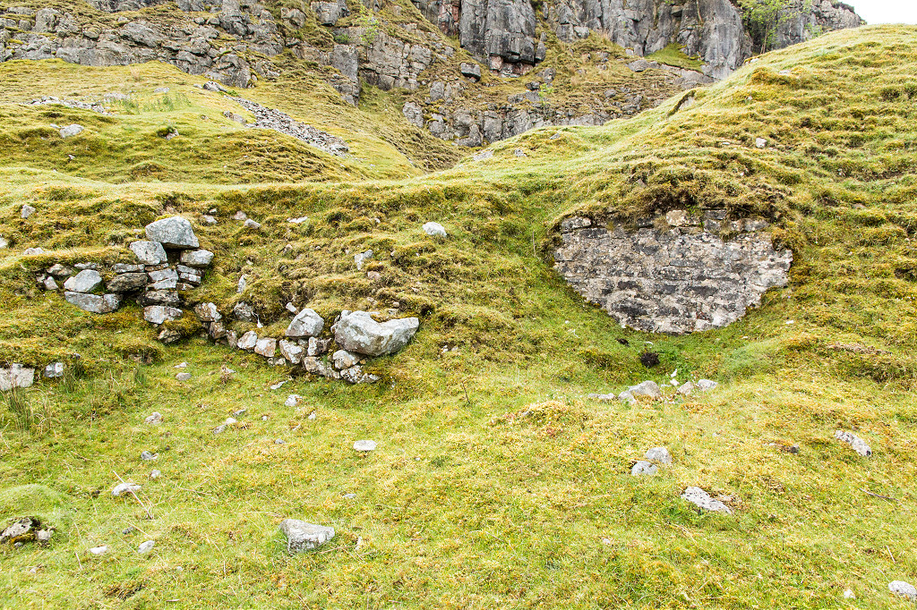
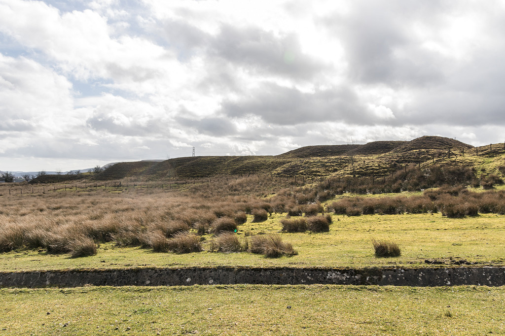 Rhas Fach Patches |
 Rhas Fach Patches |
 Rhas Fach Patches |
 Rhas Fach Patches |
 Rhas Fach Patches |
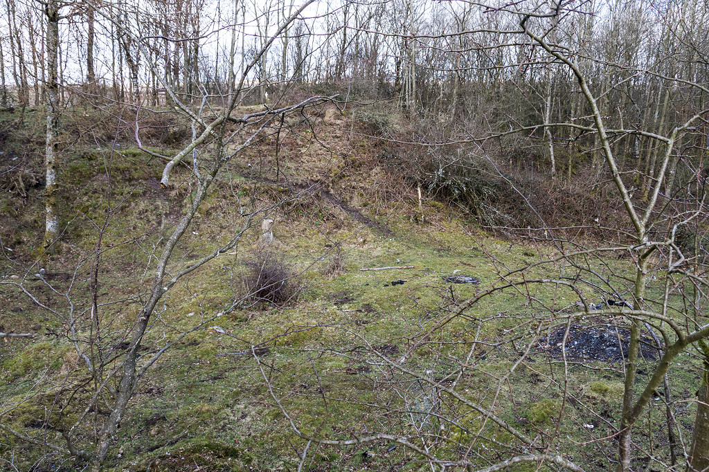 Site of Rhas Fach cottages |
|
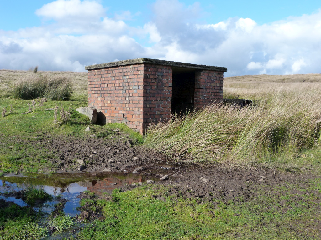
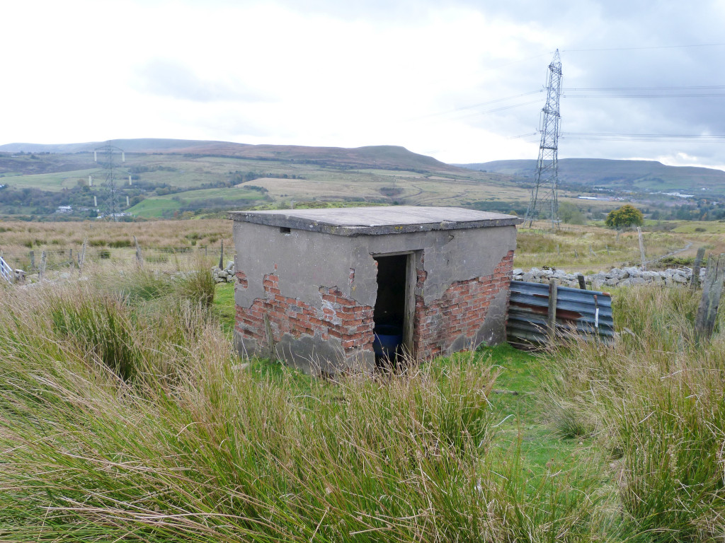
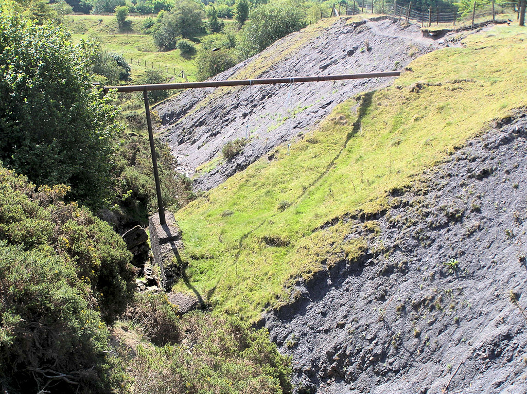
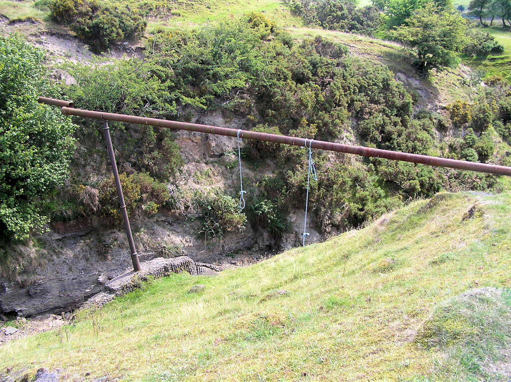
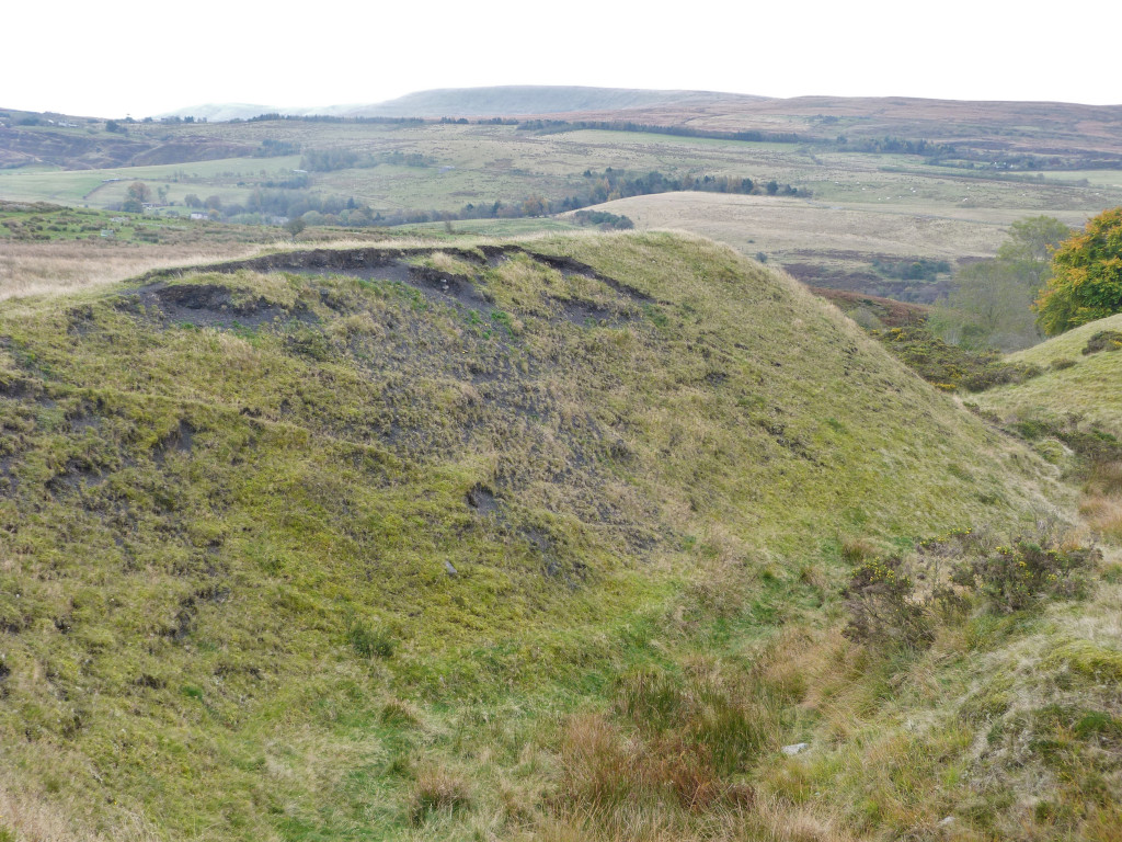
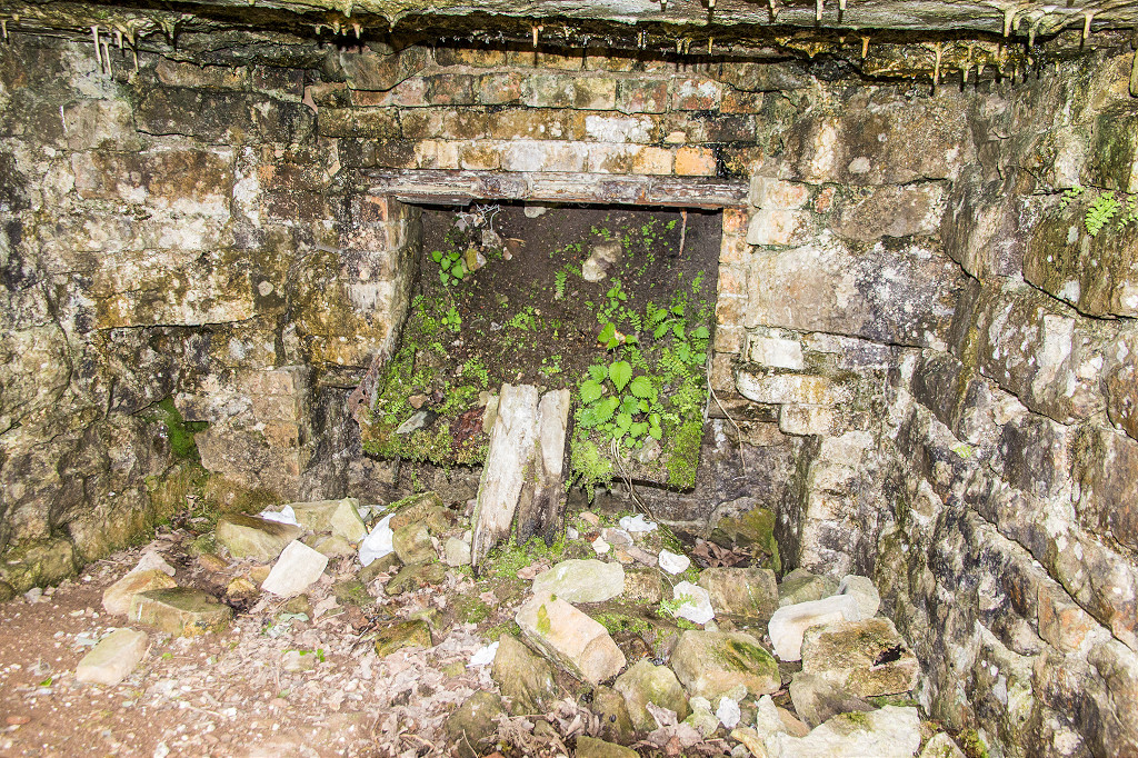
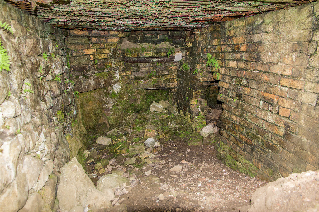
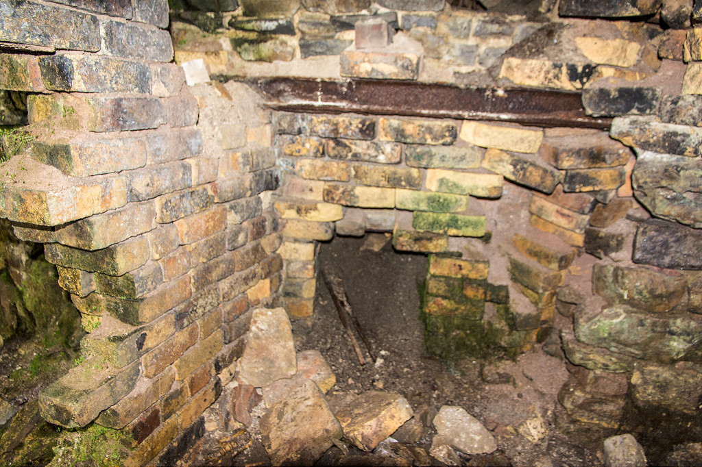
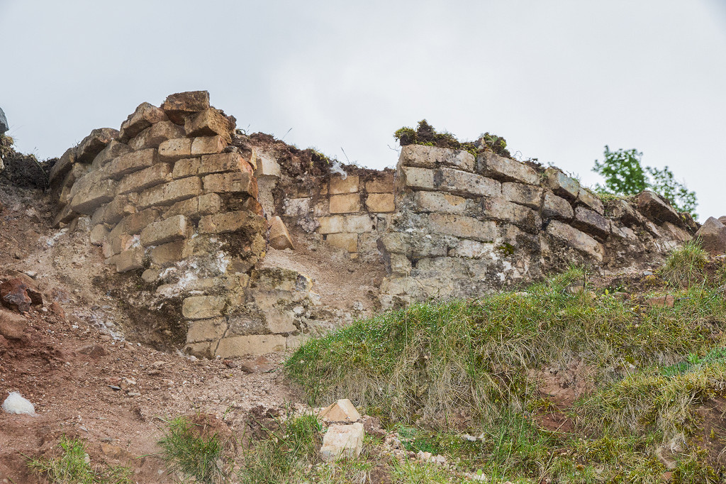
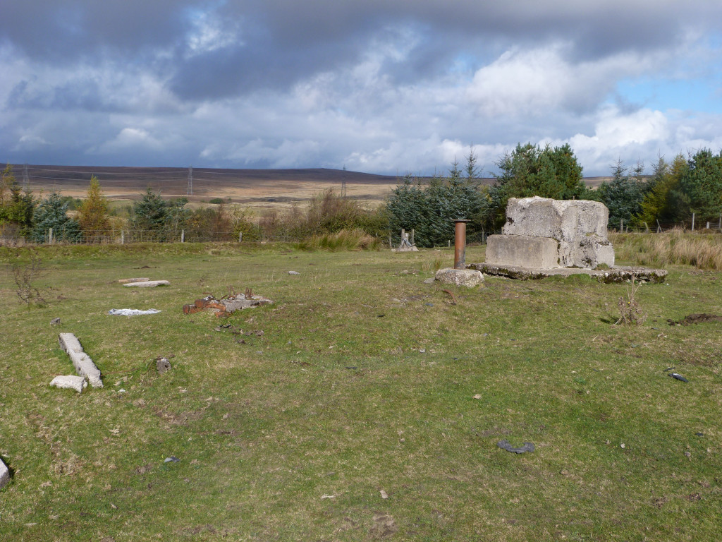 ROC underground bunker |
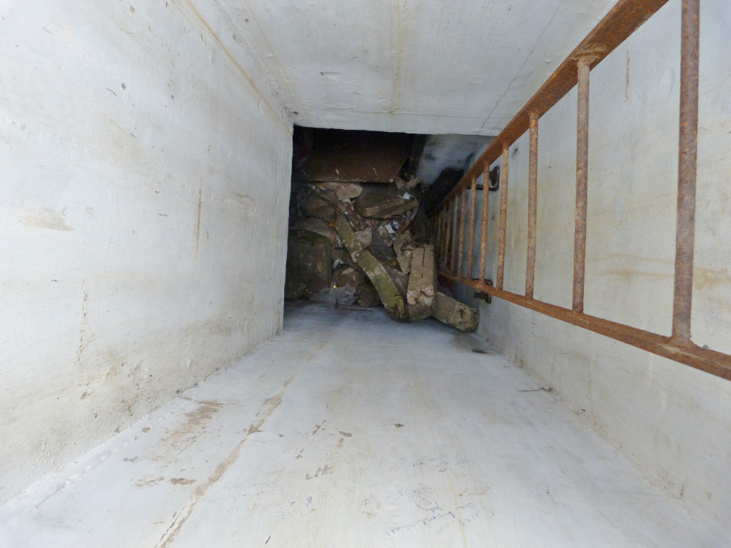 ROC underground bunker |
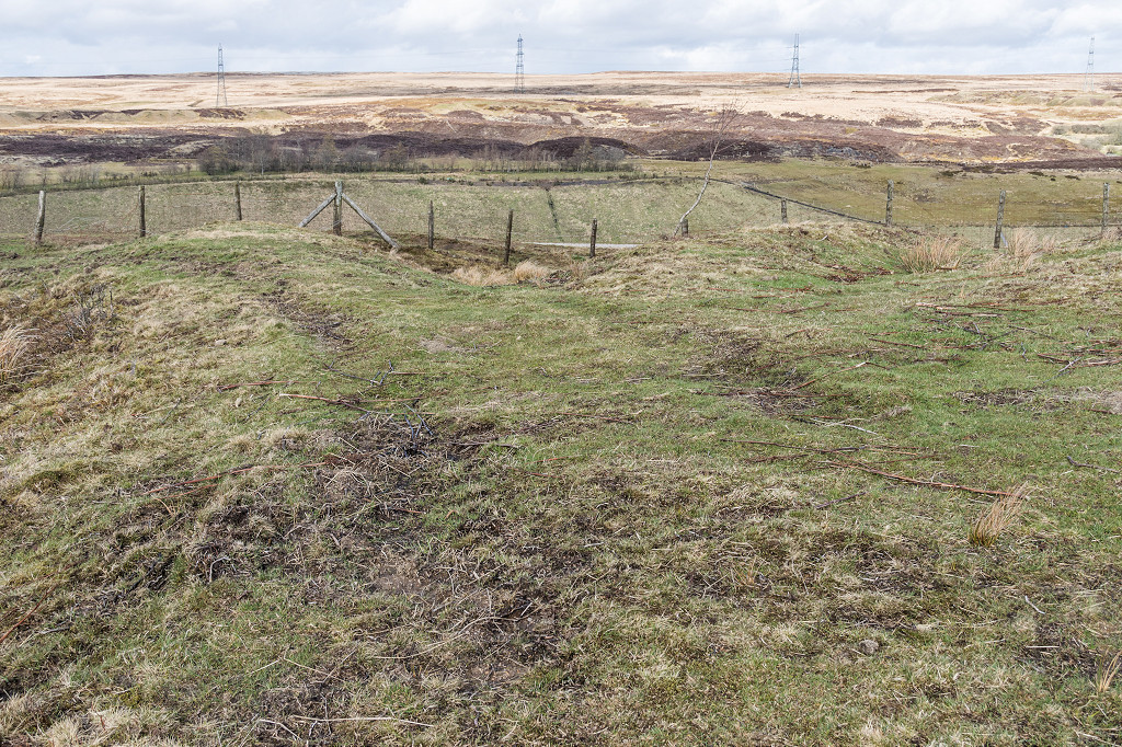
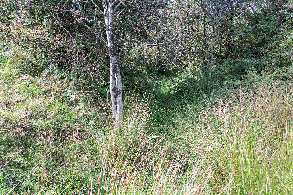
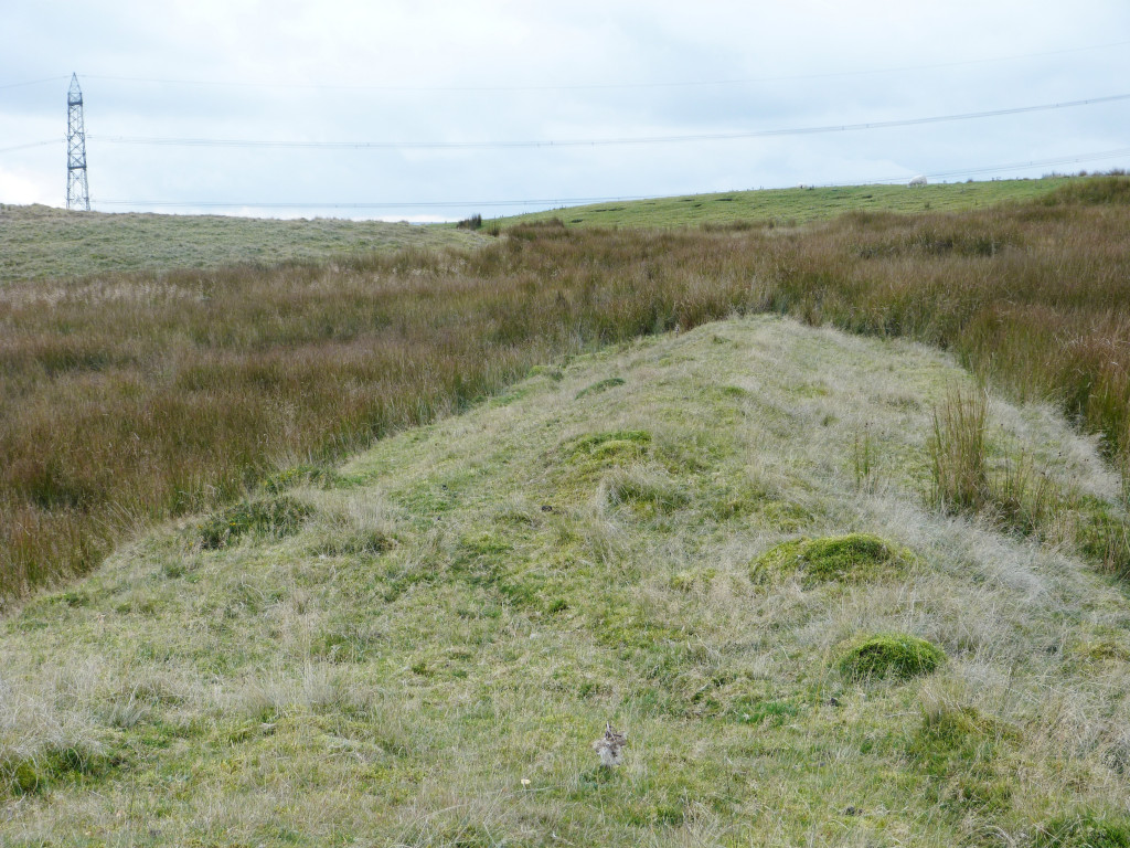
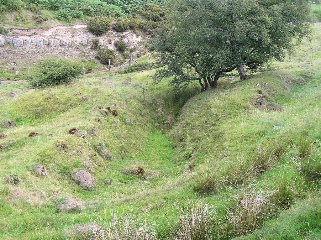
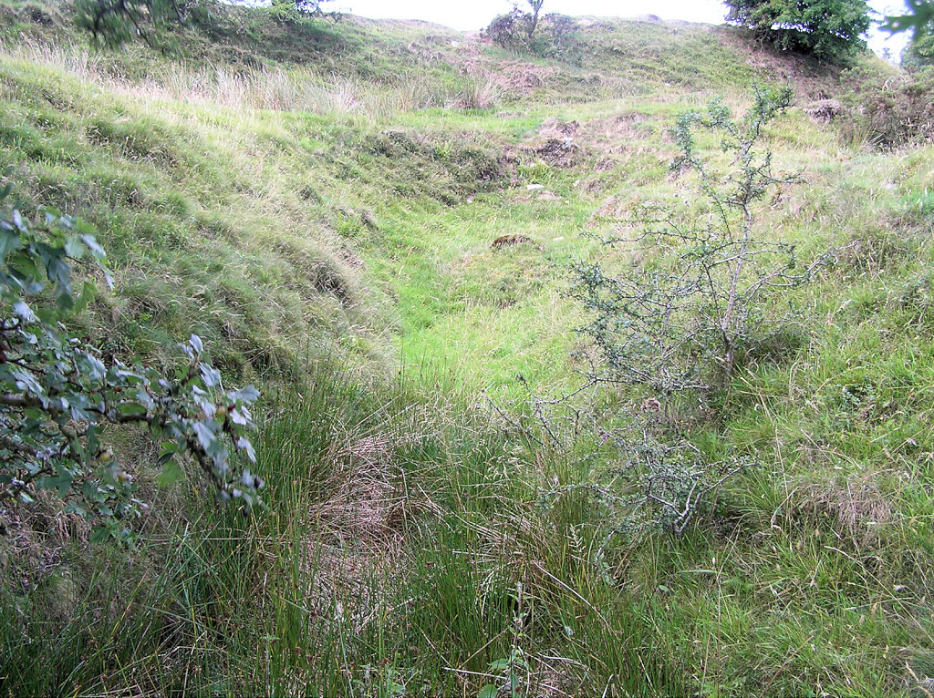
 Tramroad to the lower workings |
 Tramroad to the lower workings |
 Workings off Clydach Street |
 Workings off Clydach Street |
 Workings off Clydach Street |
 Workings off Clydach Street |
 Workings off Clydach Street |
 Workings off Clydach Street |
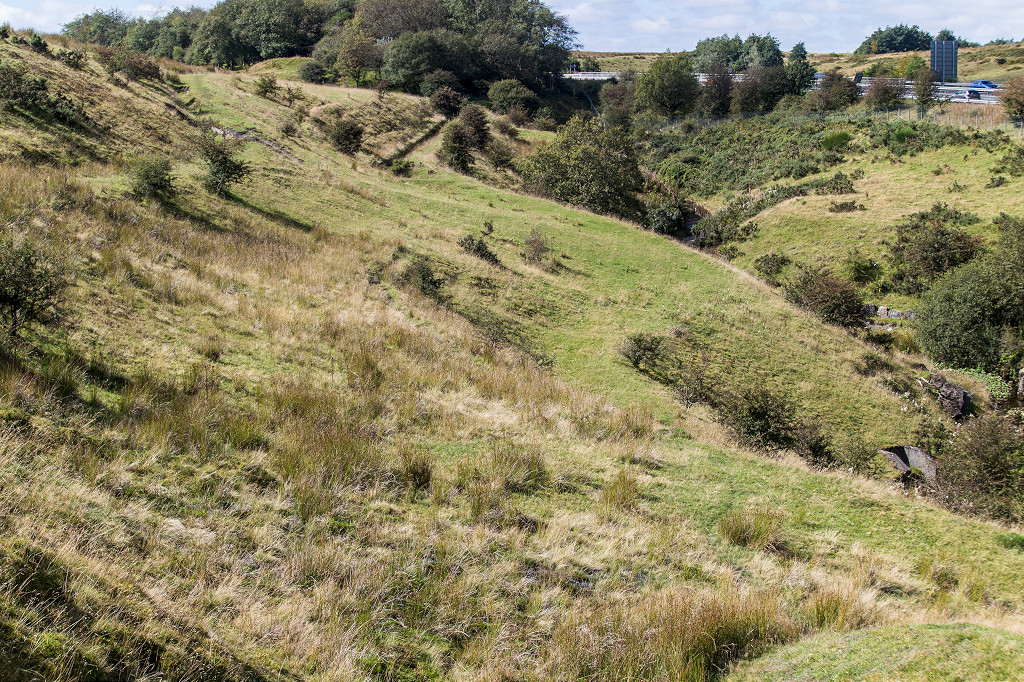
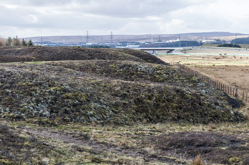
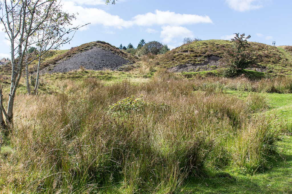
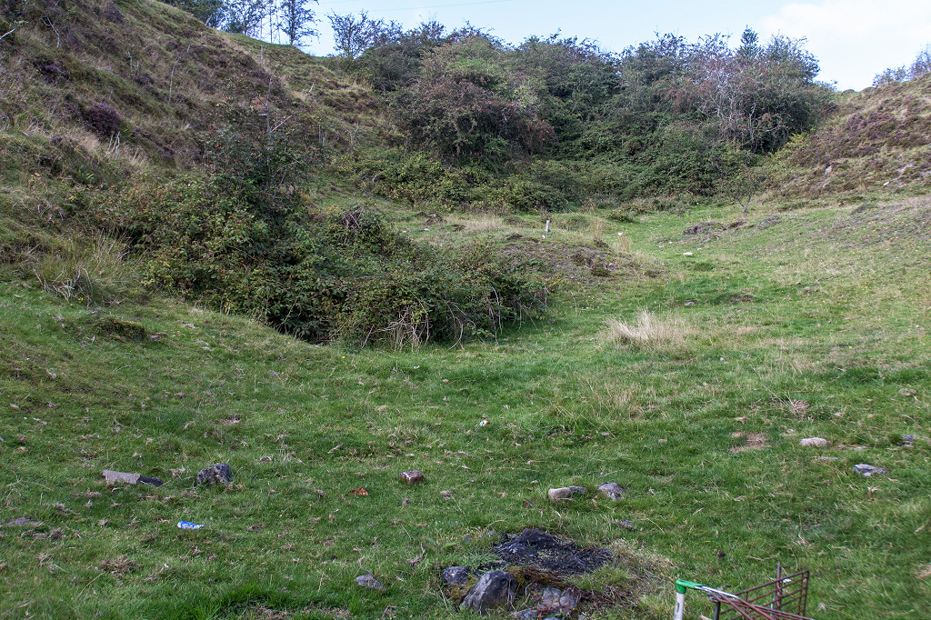
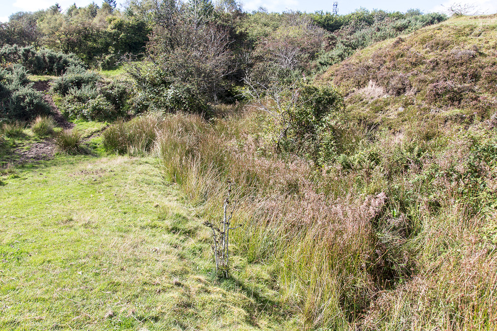
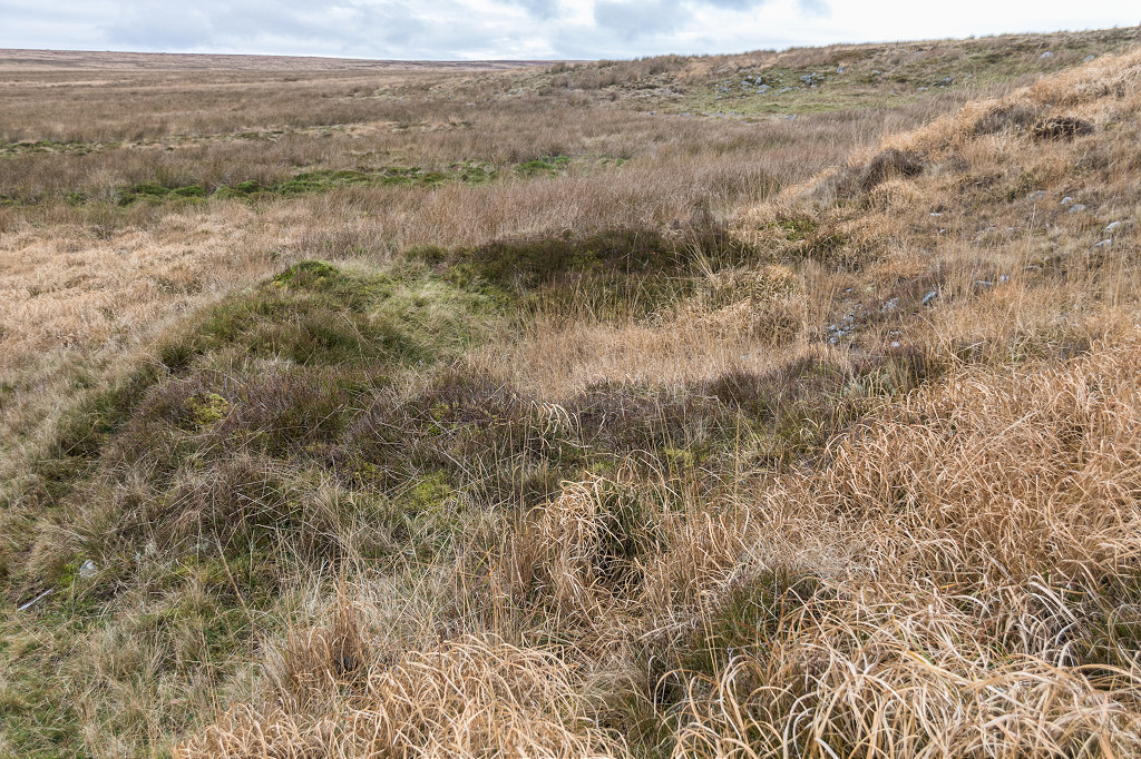
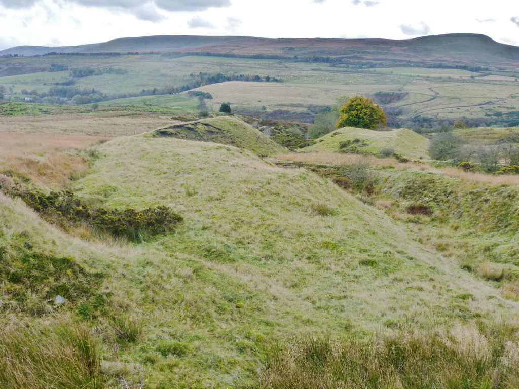
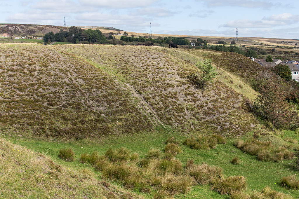 Lower level tips |
 Middle level tips |
 Middle level tips |
 Middle level tips |
 Middle level tips |
 High level tips |
 High level tips |
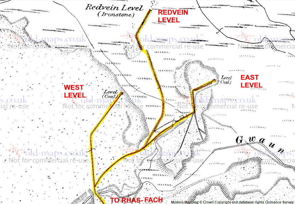 Blaen Clydach levels, 1880 |
 Blaen Clydach tramway, 1880 |
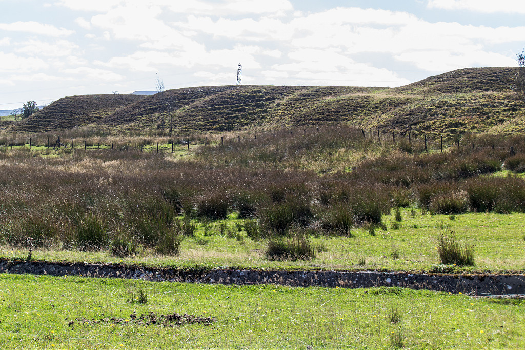
 Blaen Clydach Eastern level |
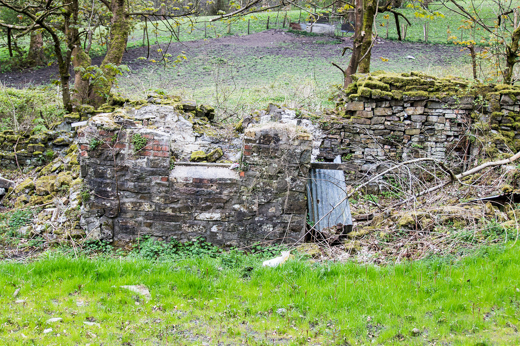
 Eastern level building |
 Eastern level building |
 Eastern level building |
 Eastern level building |
 Eastern level building |
 Eastern level building |
 Eastern level foundations |
 Blaen Clydach Redvein Level |
 Blaen Clydach Redvein Level |
 Blaen Clydach Redvein Level |
 Blaen Clydach Redvein Level |
 Redvein Level tramway |
 Western level tramway |
 Western level tramway |
 Western level |
 Western level tips |
 Western level tips |
 Below Blaen-y-Cwm Reservoir |
 Below Blaen-y-Cwm Reservoir |
 Below Blaen-y-Cwm Reservoir |
 Patches near Blaen-y-Cwm Reservoir |
 Around Clydach Terrace |
 Around Clydach Terrace |
 Around Clydach Terrace |
 Around Clydach Terrace |
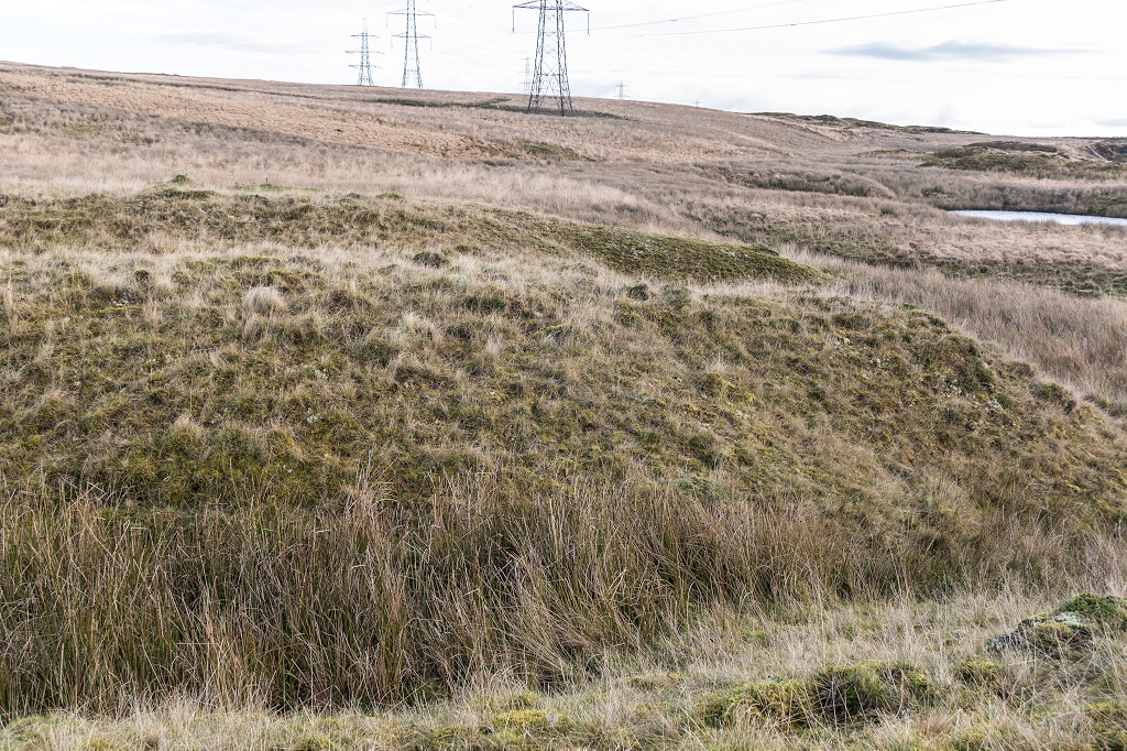
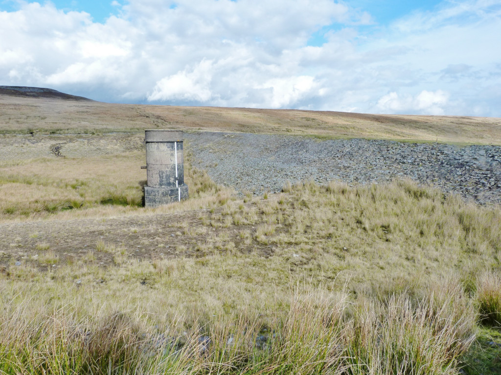 Cairn Mound Reservoir |
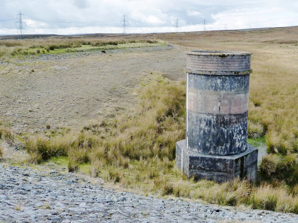 Cairn Mound Reservoir |
 Cairn Mound Reservoir |
 Cairn Mound Reservoir |
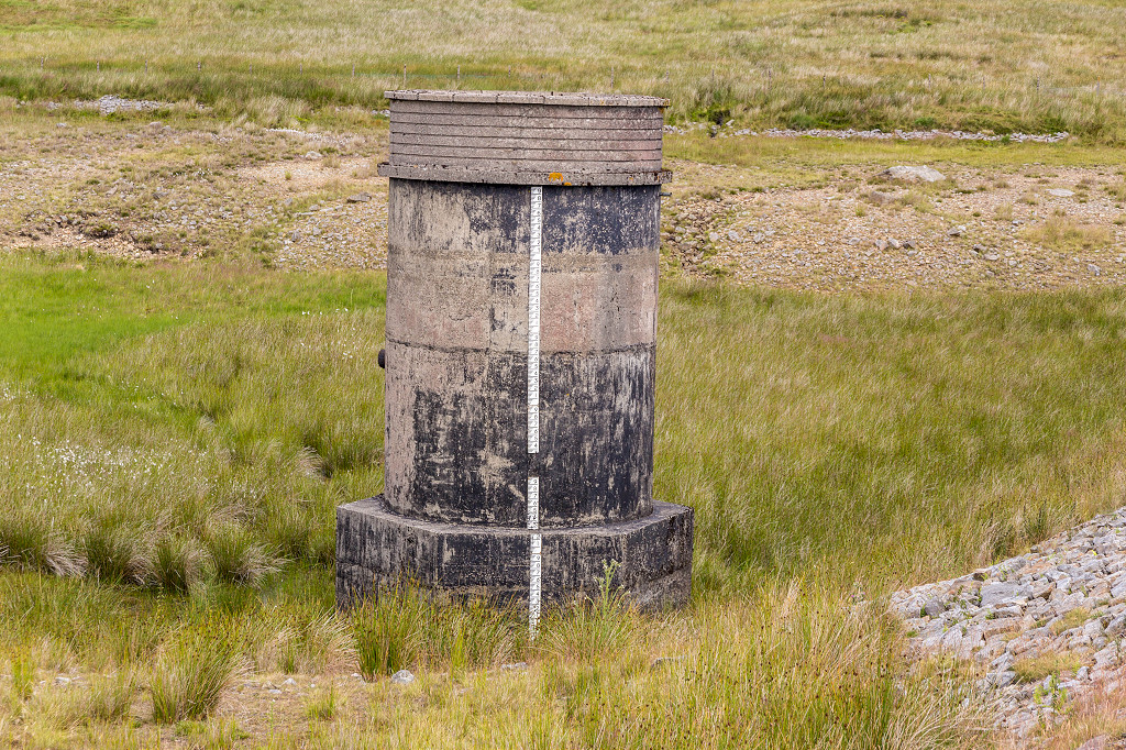 Cairn Mound Reservoir |
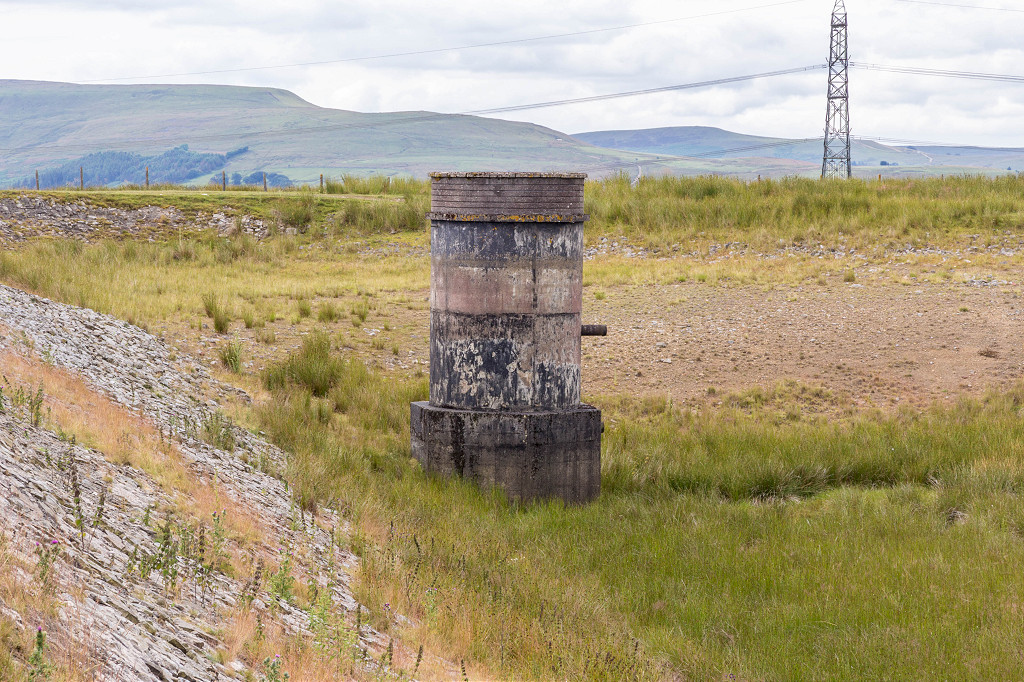 Cairn Mound Reservoir |
 Cairn Mound Reservoir dam |
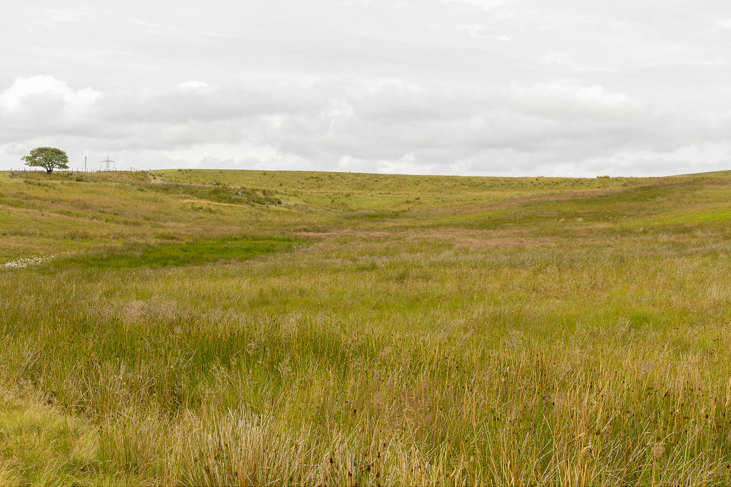
 Crossing Nant-yr-Hafod |
 Crossing Nant-yr-Hafod |
 Crossing Nant-yr-Hafod |
 Crossing Nant-yr-Hafod |
 Looking back from Nant-yr-Hafod |
 Coed Cae Mawr level |
 Coed Cae Mawr level |
 Coed Cae Mawr level |
 Coed Cae Mawr level |
 Coed Cae Mawr level dram |
 Coed Cae Mawr level dram |
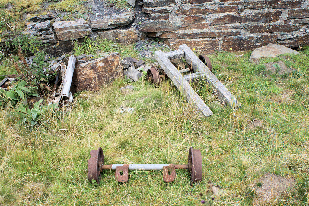 Coed Cae Mawr level flat wagon |
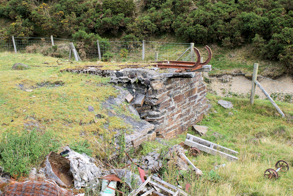
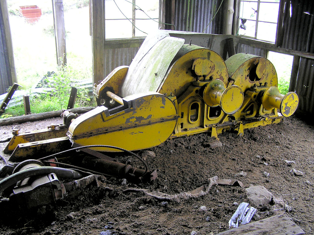 Coed Cae Mawr haulage engine |
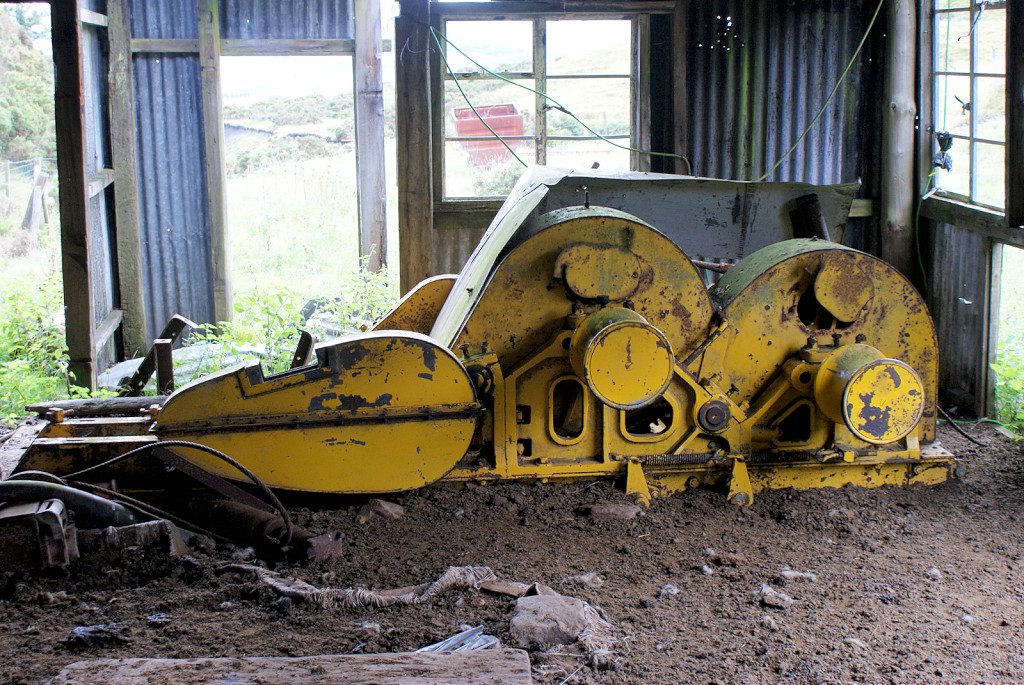 Coed Cae Mawr haulage engine |
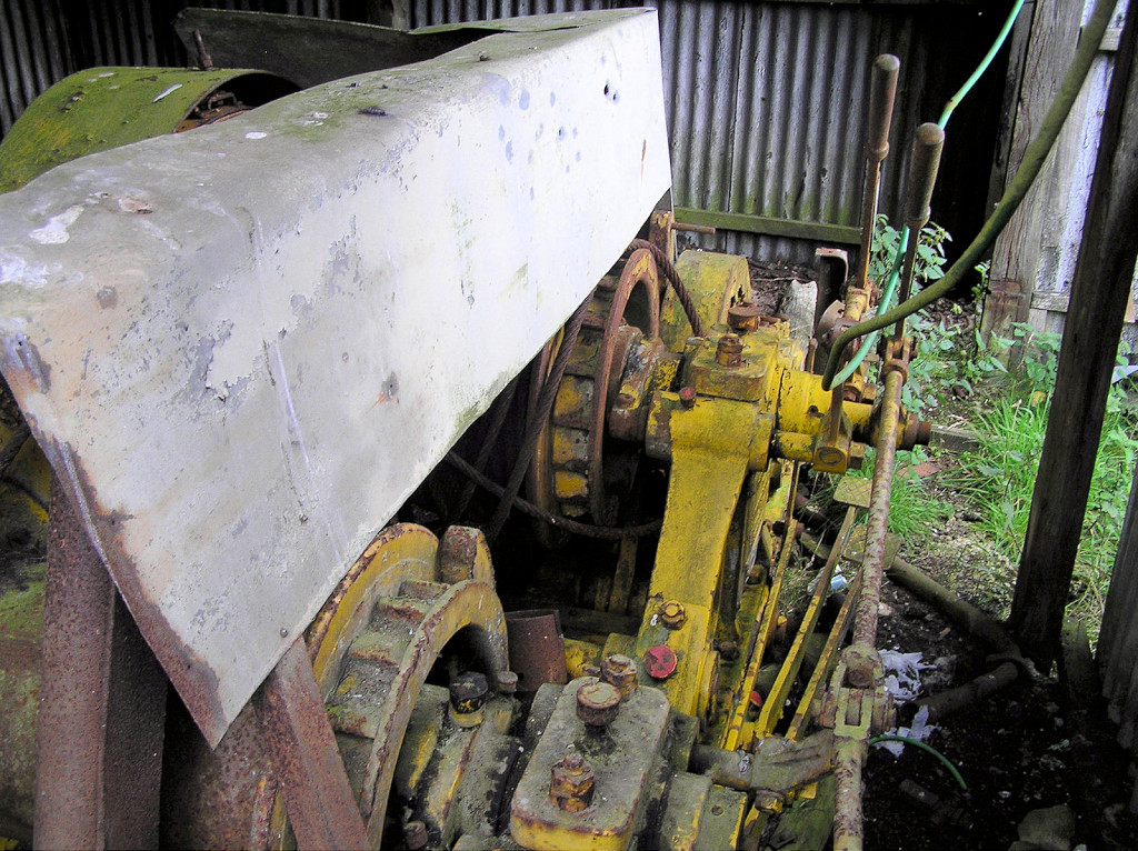 Coed Cae Mawr haulage engine |
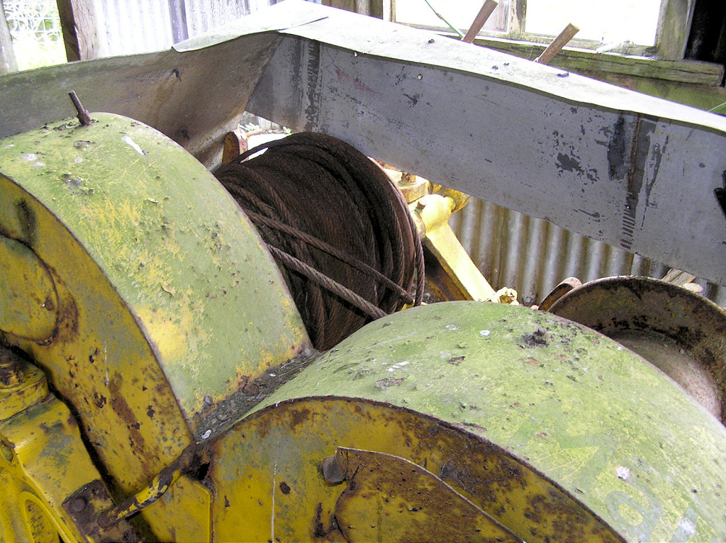 Coed Cae Mawr haulage engine |
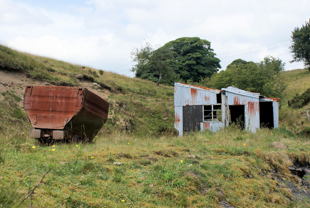
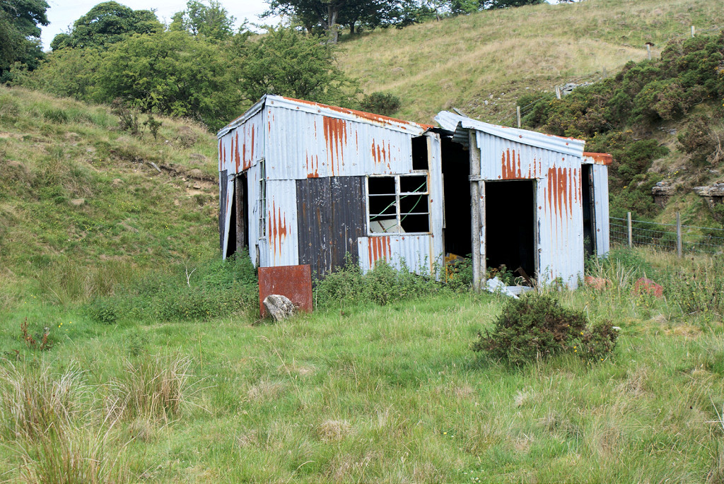 Coed Cae Mawr haulage shed |
 Coed Cae Mawr level screens |
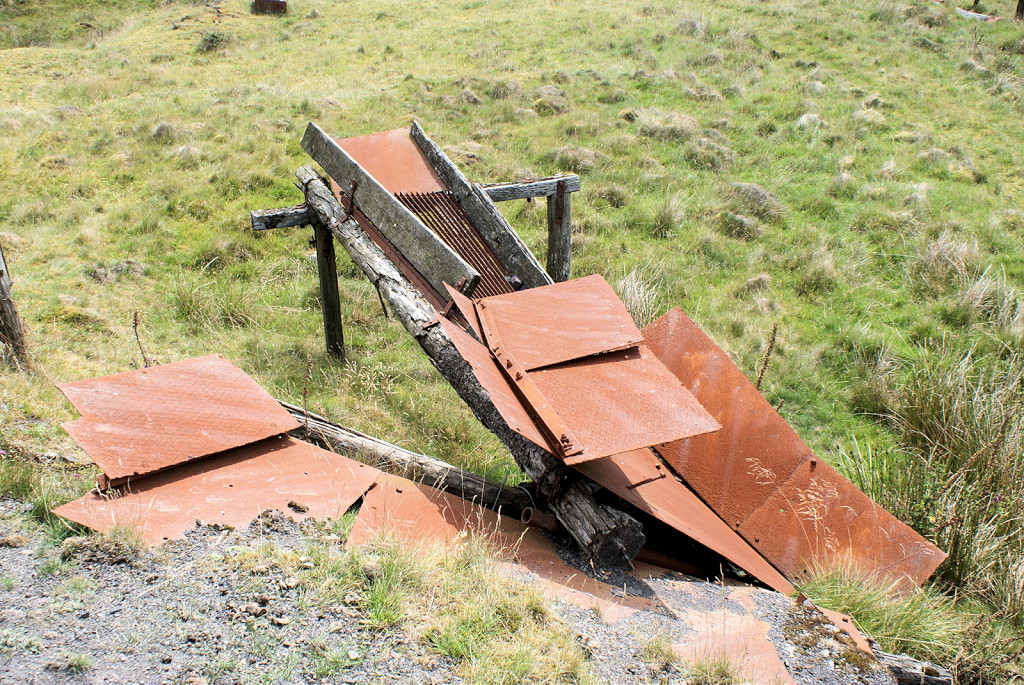 Coed Cae Mawr level screens |
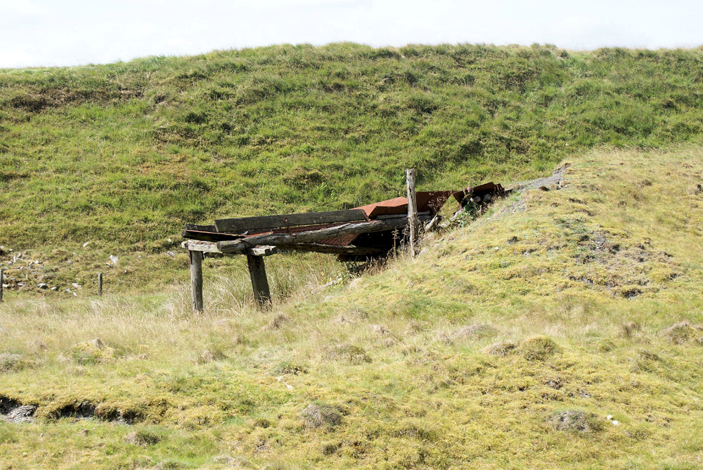 Coed Cae Mawr level screens |
 Coed Cae Mawr level tippler |
 Coed Cae Mawr level tippler |
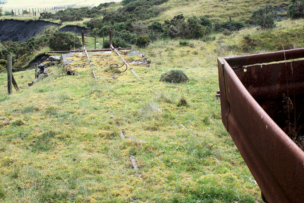
 Coed Cae Mawr level tramway |
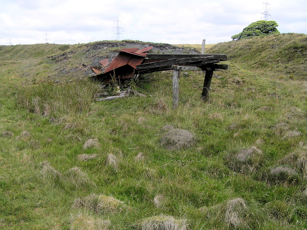
 Cwm Nant Mawr upper level |
 Cwm Nant Mawr lower level |
 Cwm Nant Melyn aqueduct |
 Cwm Nant Melyn aqueduct |
 Cwm Nant Melyn tips |
|
 Eastern Cwm Nant Melin |
 Eastern Cwm Nant Melin |
 Eastern Cwm Nant Melin |
 Eastern Cwm Nant Melin |
 Grenade firing range |
 Grenade firing range |
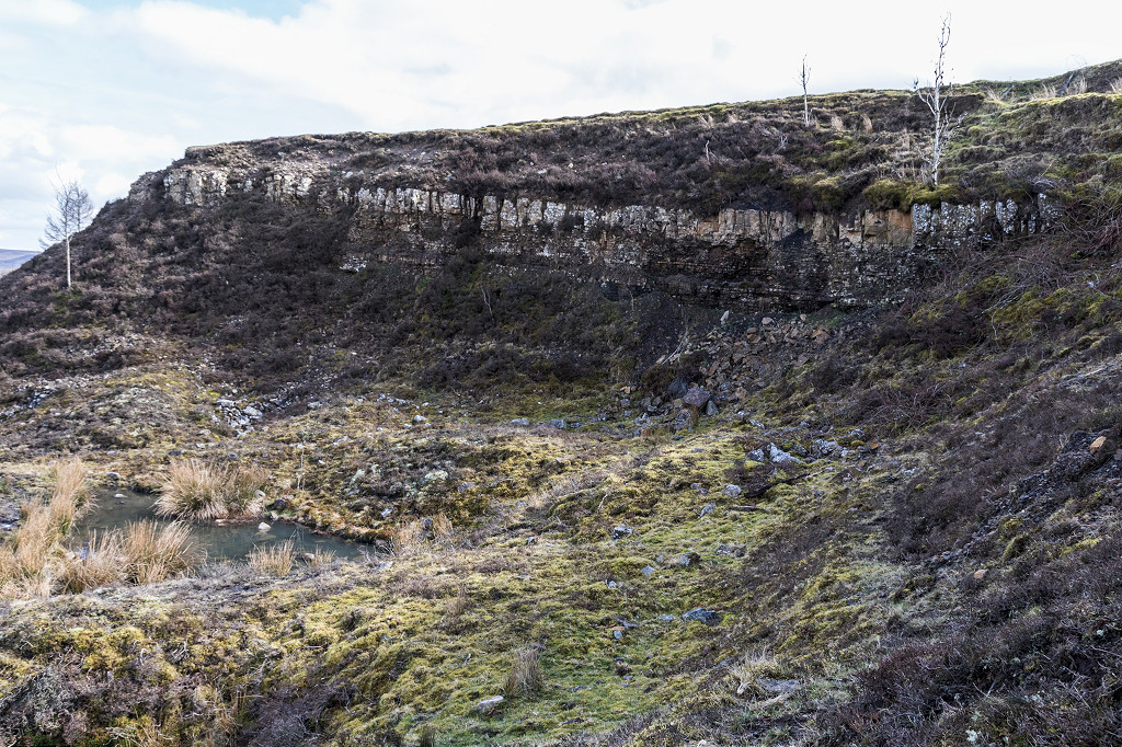
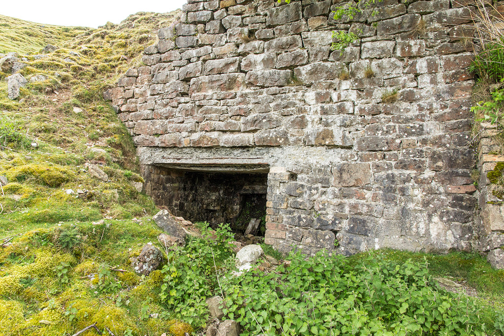 Craig y Castell limekilns |
 Craig y Castell limekilns |
 Craig y Castell limekilns |
 Craig y Castell limekilns |
 Craig y Castell limekilns |
 Craig y Castell limekilns |
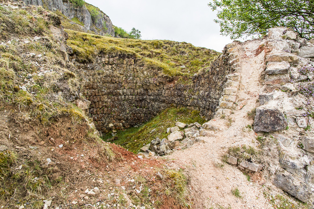 Craig y Castell limekilns |
 Craig y Castell limekilns |
 Craig y Castell quarry |
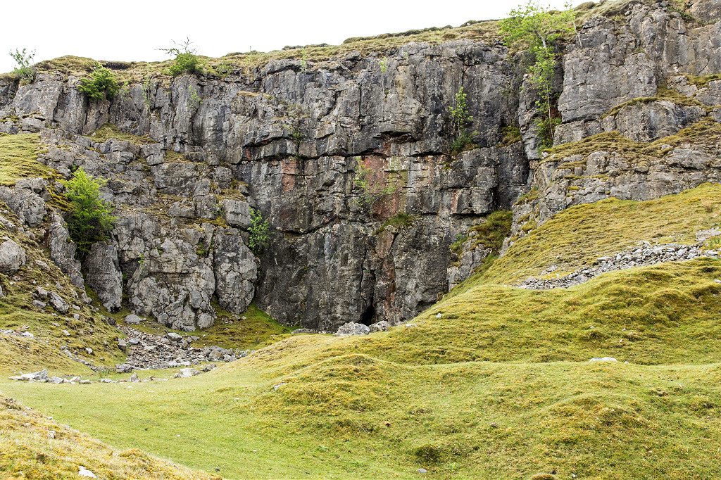 Craig y Castell quarry |
Industrial WalesCollieries, Ironworks, Quarries, Railways, Canals, Tramroads, Tunnels, Culverts and so much more....
|
Brickworks of WalesBricks are 'History with a label' so here's the story of the Brickworks of Wales - photos, maps and the products themselves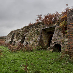
|
Around the WorldMy travels around the UK and the Whole Wide World in search of industries, railways, trams and mines to name a few.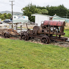
|
Boundary Stones and MilepostsBoundary Stones, Mileposts and other markers in simple alphabetical order of their initials, name or site.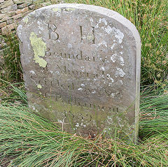
|
Ships and ShippingShips around the World in simple alphabetical order of their name (or apparent area if I can't read the name).
|
The Site Map and IndexA full list of all the pages of the whole website in just one place, so you should find exactly what you are looking for.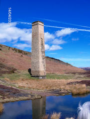
|
About the SiteThe background and technical details about the site, plus a contact page and links to other sites - and a warning !!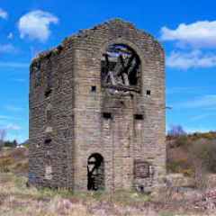
|
Contact MeSomething to add? A great photo? Something wrong? or need to know more about things? Just drop me a line here.
|
Further ReadingYou can find lots of local and other very helpful websites, books, magazines and Facebook groups all listed here.
|