Industrial Wales - Monmouthshire's Western Valley
Crosskeys, Waun-fawr and North Risca
including Waun-fawr, North Risca Colliery and Cox's Quarry
Search the site here
|
|
Industrial Wales - Monmouthshire's Western Valley
Crosskeys, Waun-fawr and North Risca
including Waun-fawr, North Risca Colliery and Cox's Quarry
|
Search the site here
|
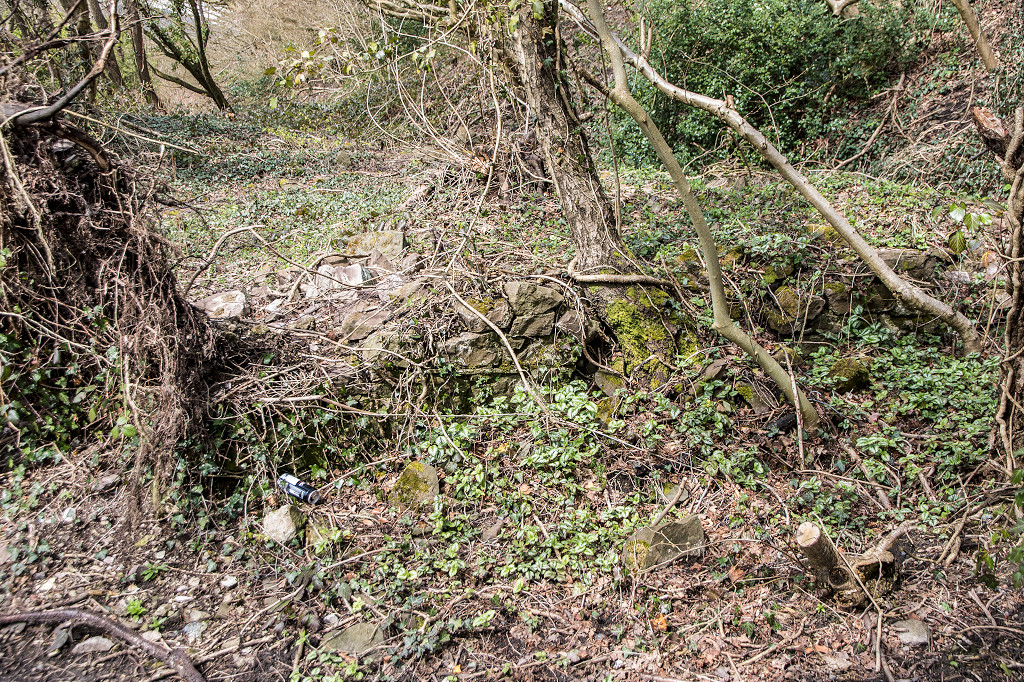
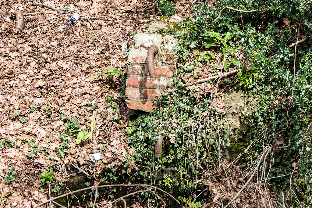
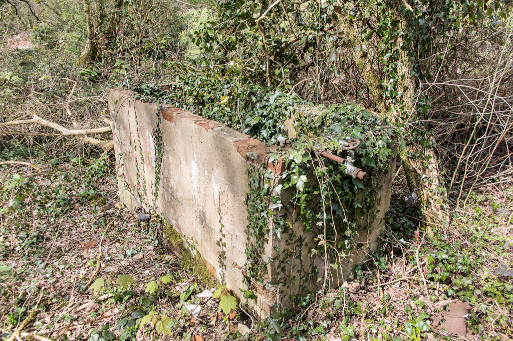
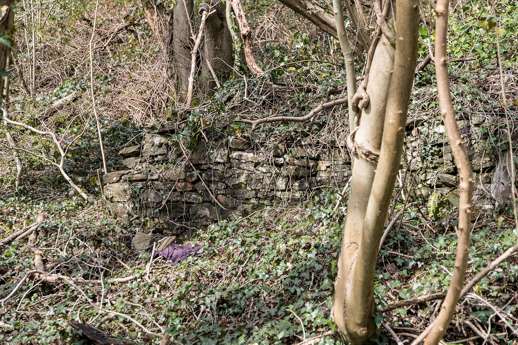
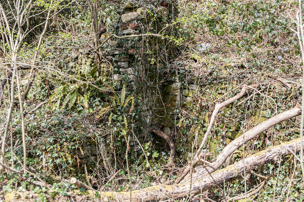
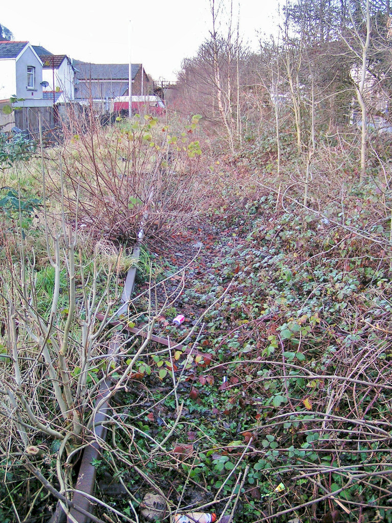
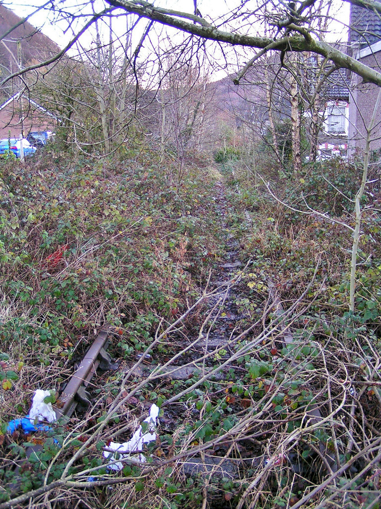
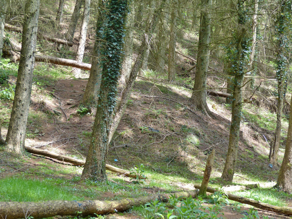
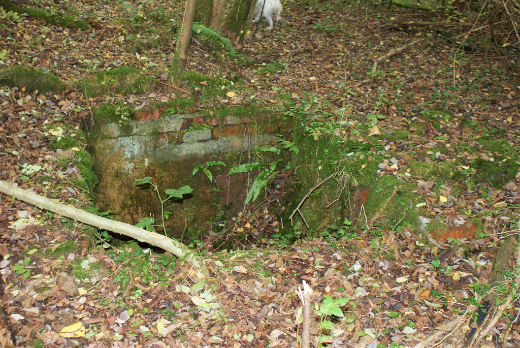
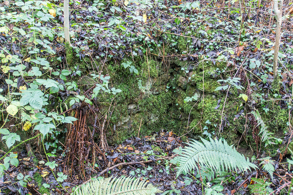
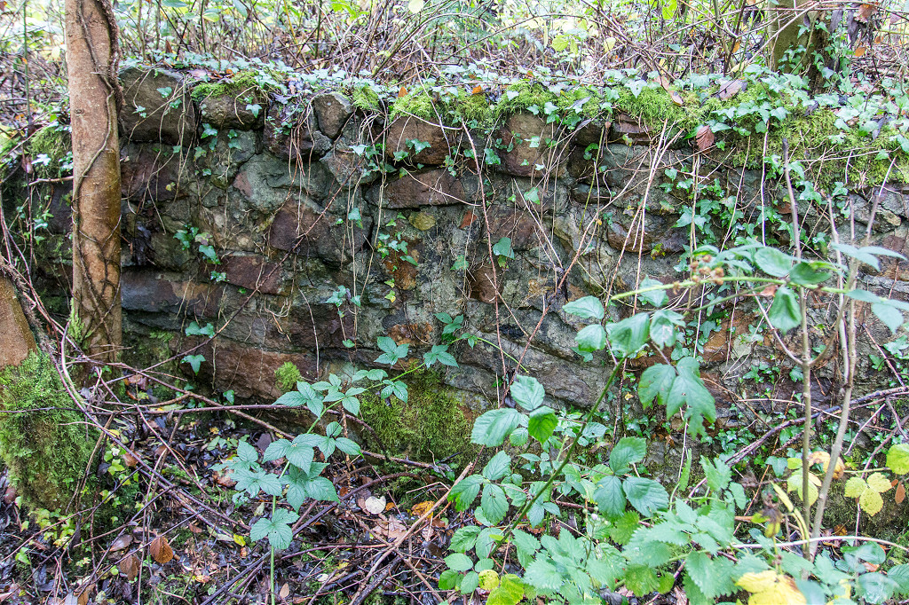
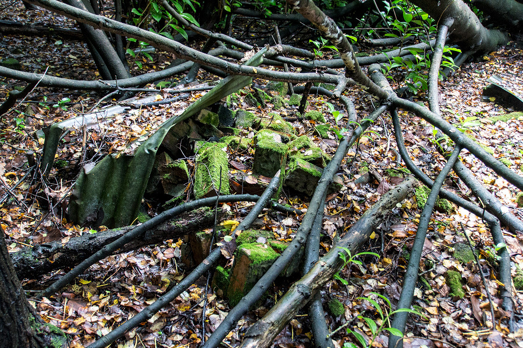
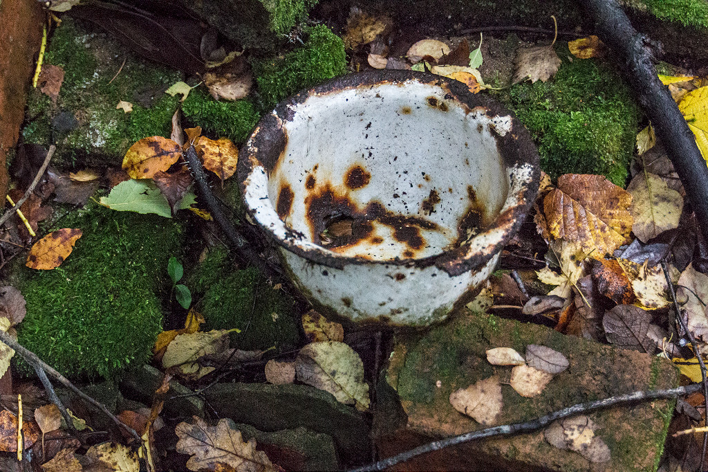
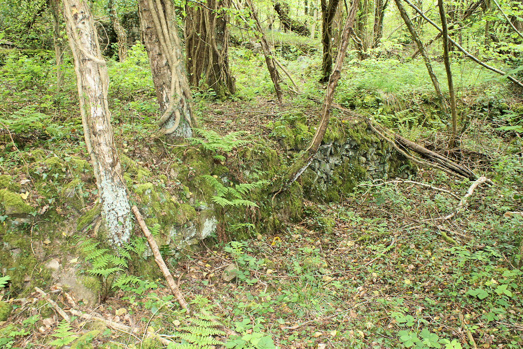
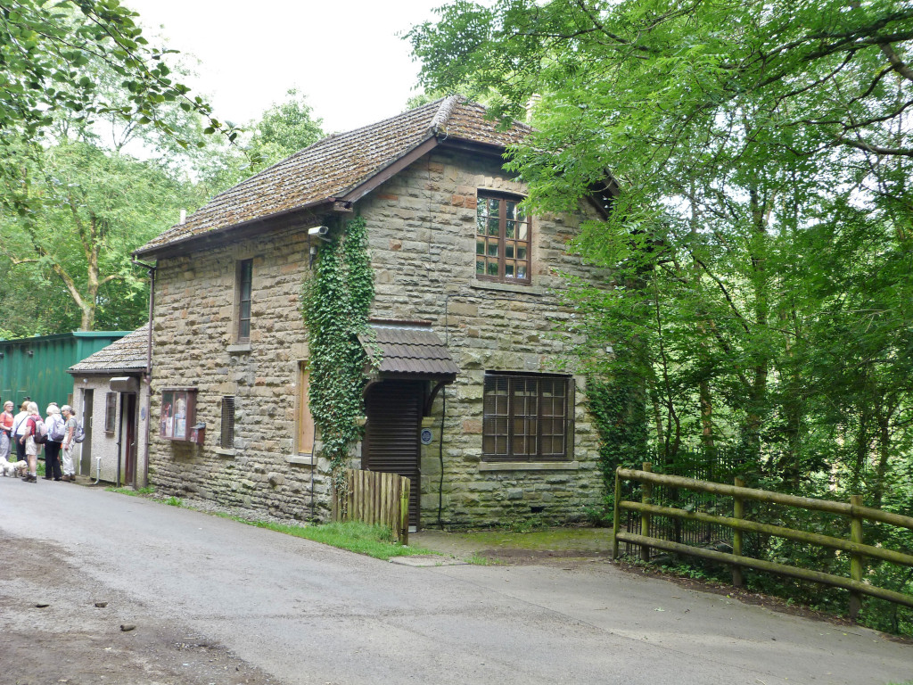
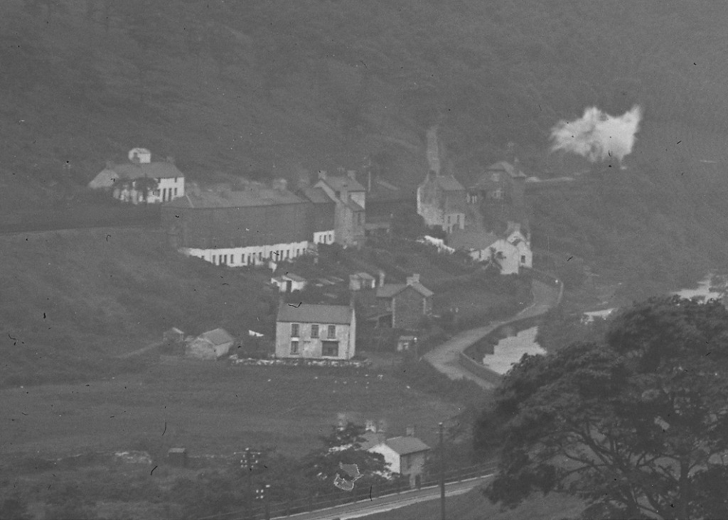
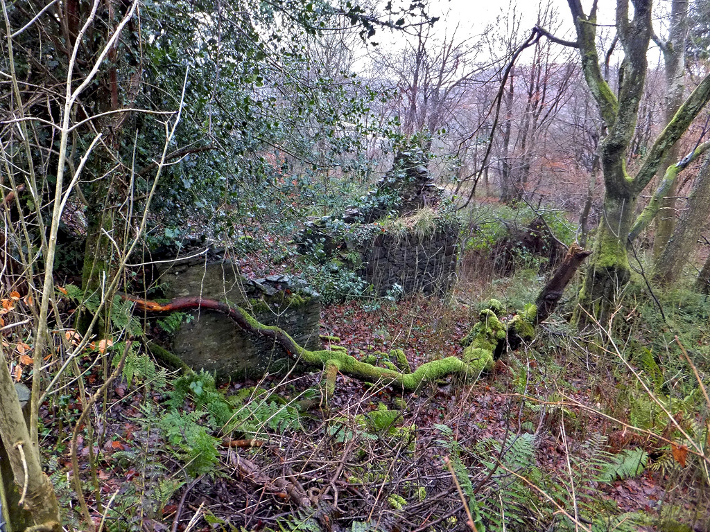
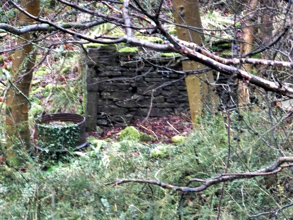
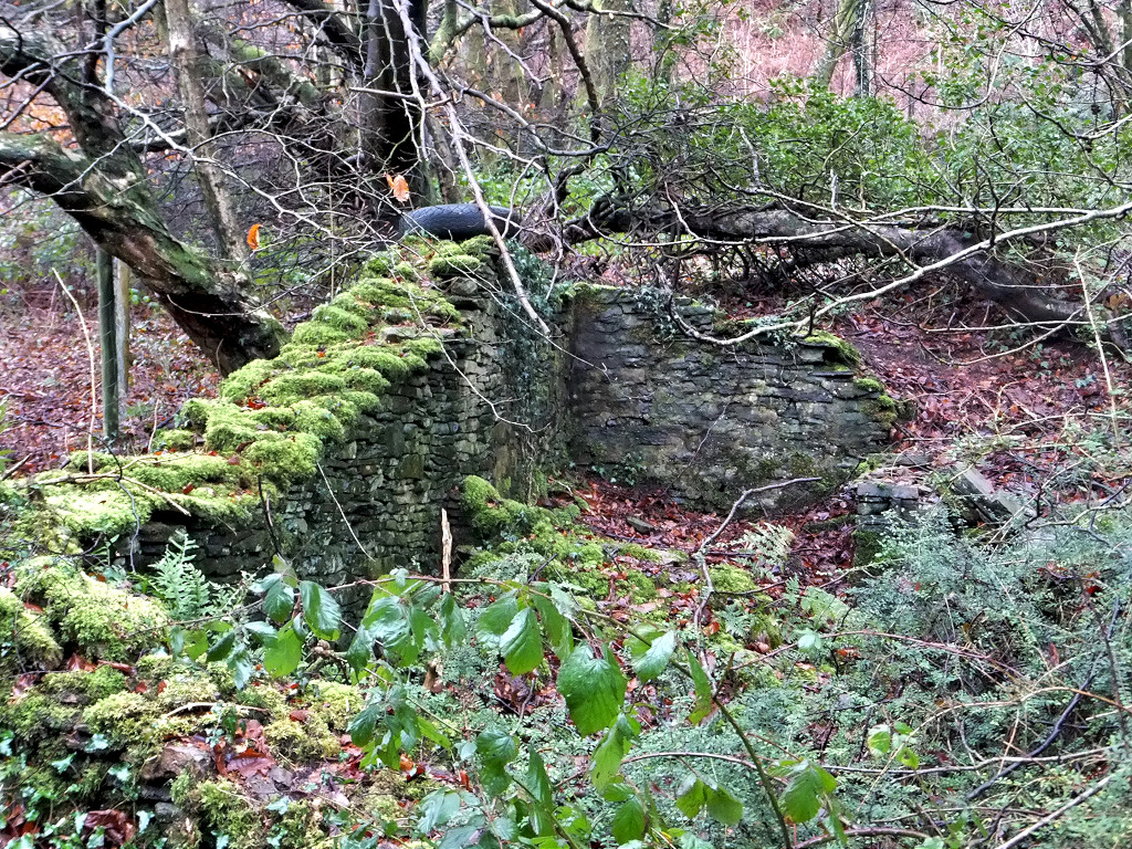
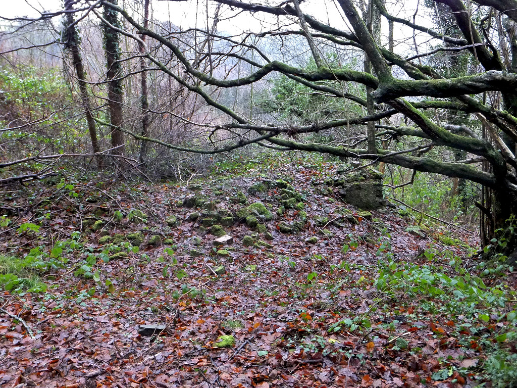
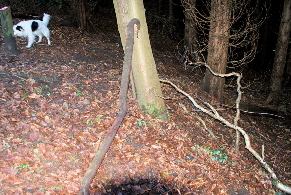
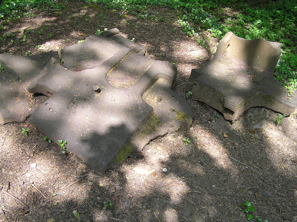
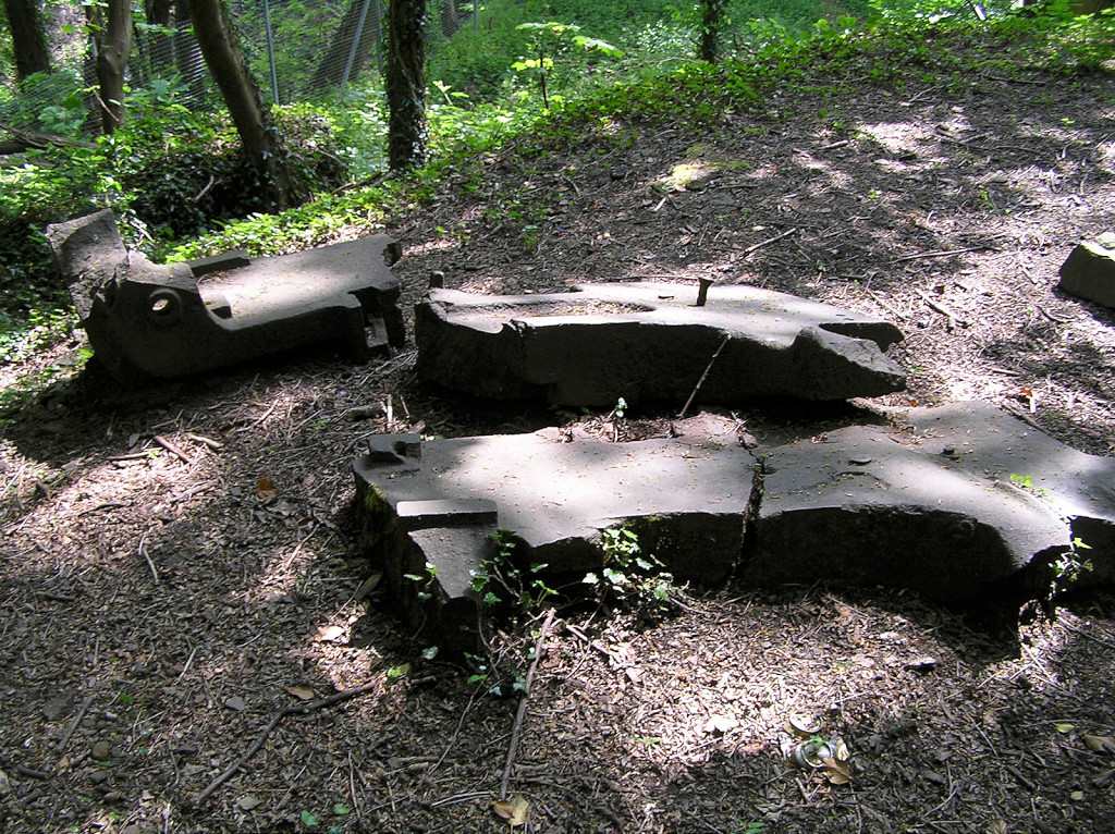
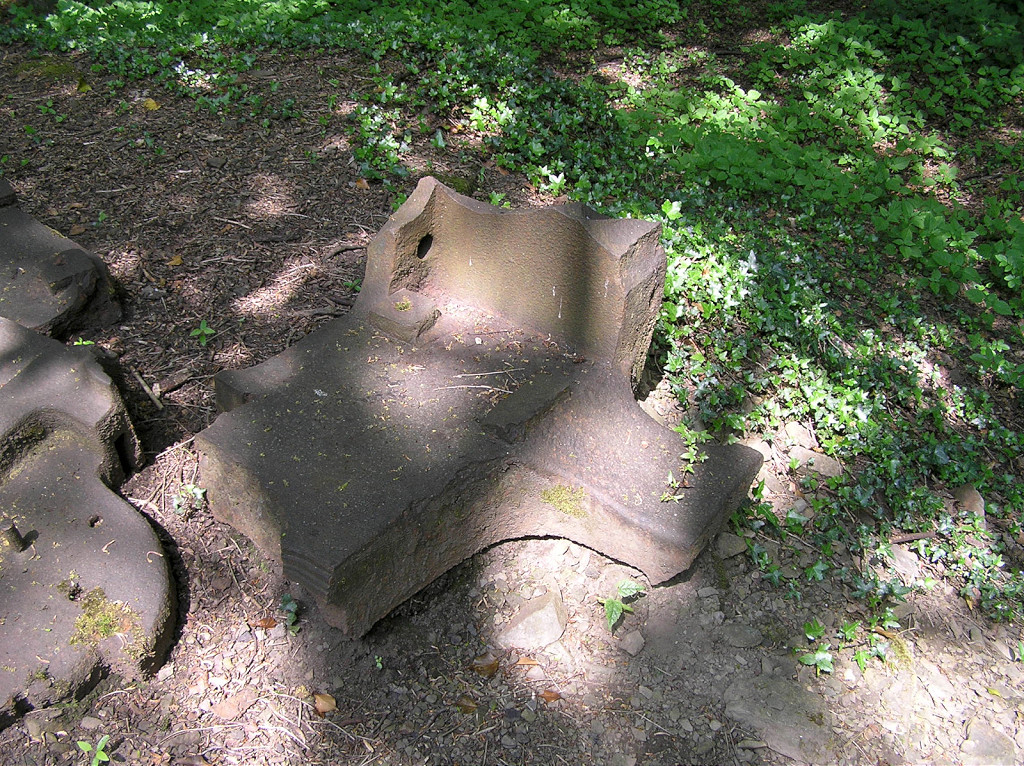
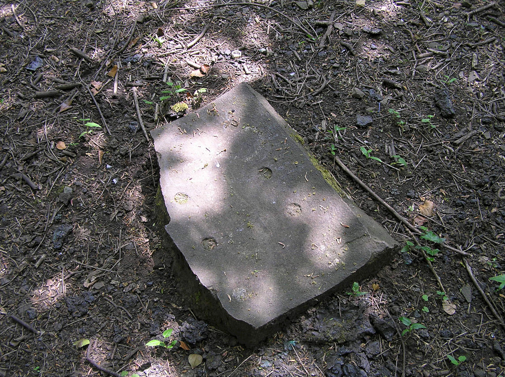
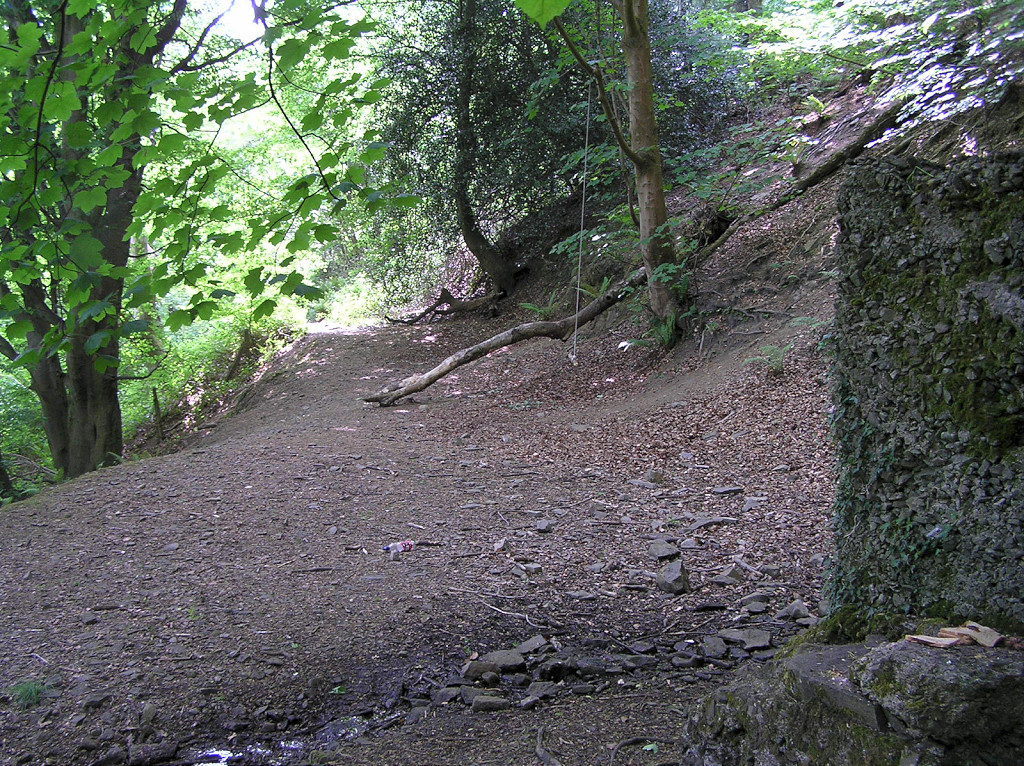
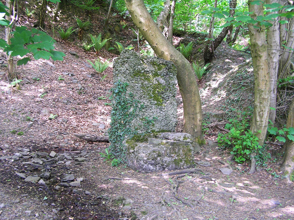
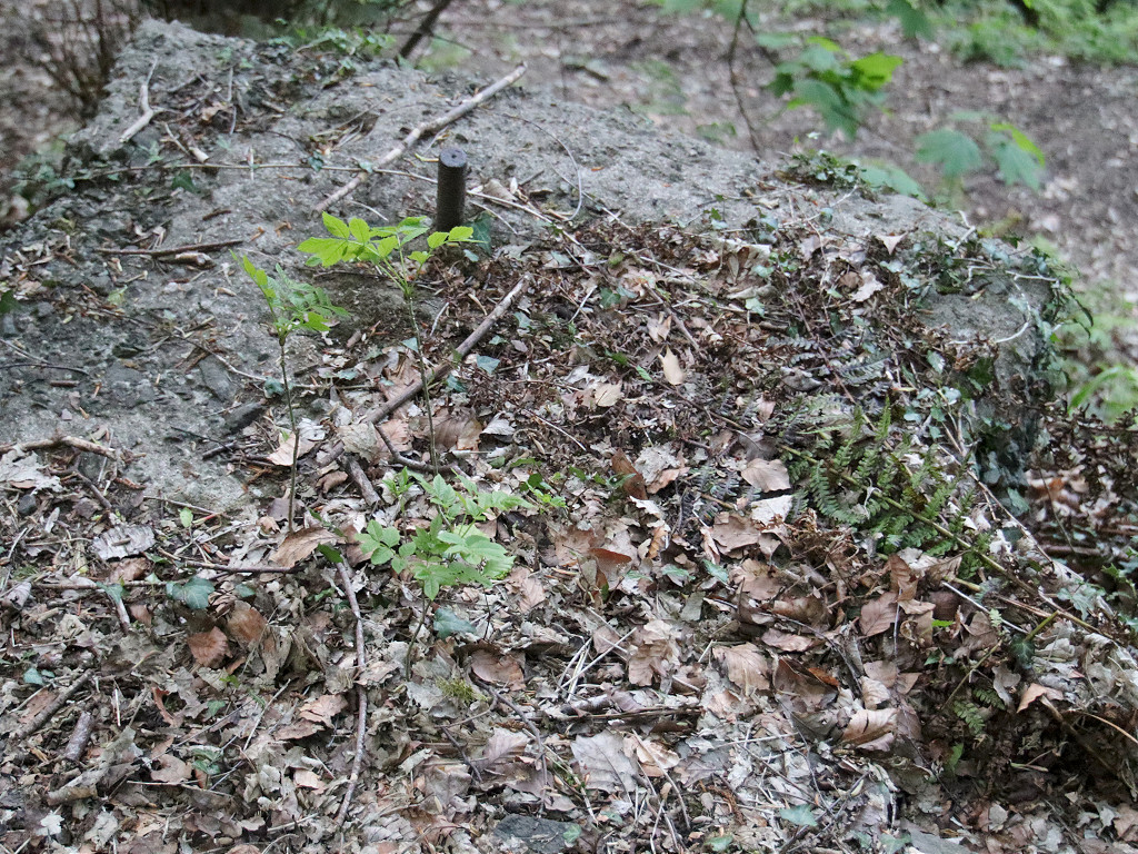
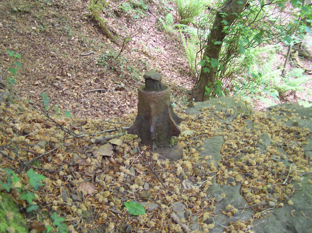
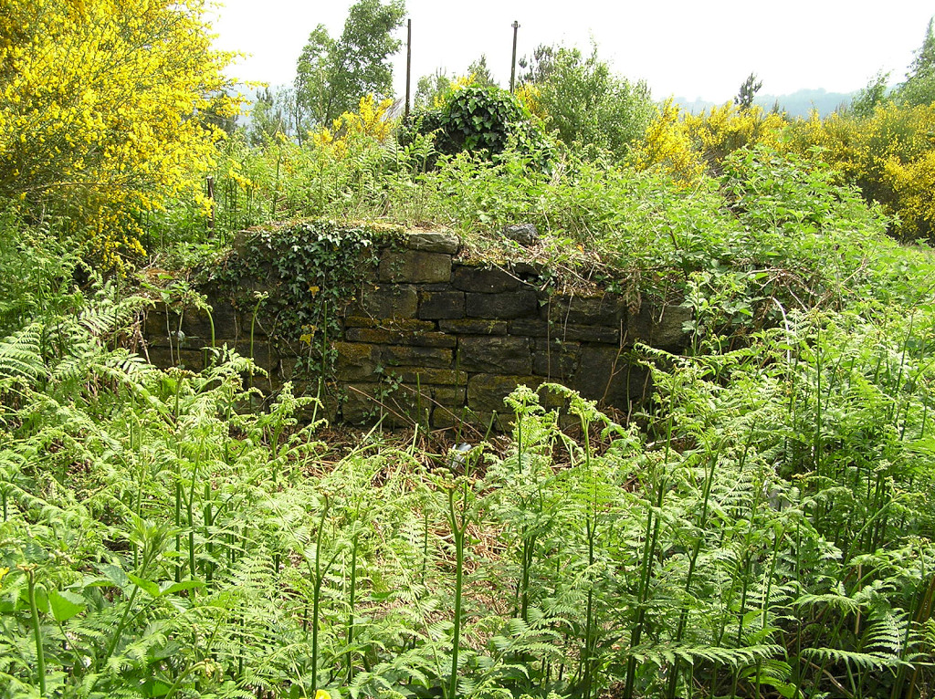
 Cwm-byr-isaf farm |
 Cwm-byr-isaf farm |
 Cwm-byr-isaf farm |
 Cwm-byr-isaf farm |
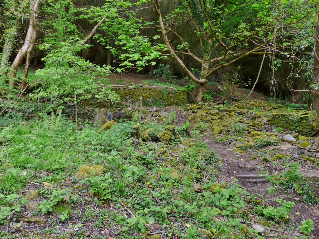 Cwm-byr-isaf farm |
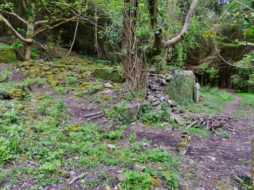 Cwm-byr-isaf farm |
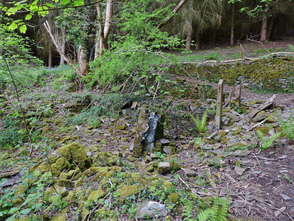 Cwm-byr-isaf farm |
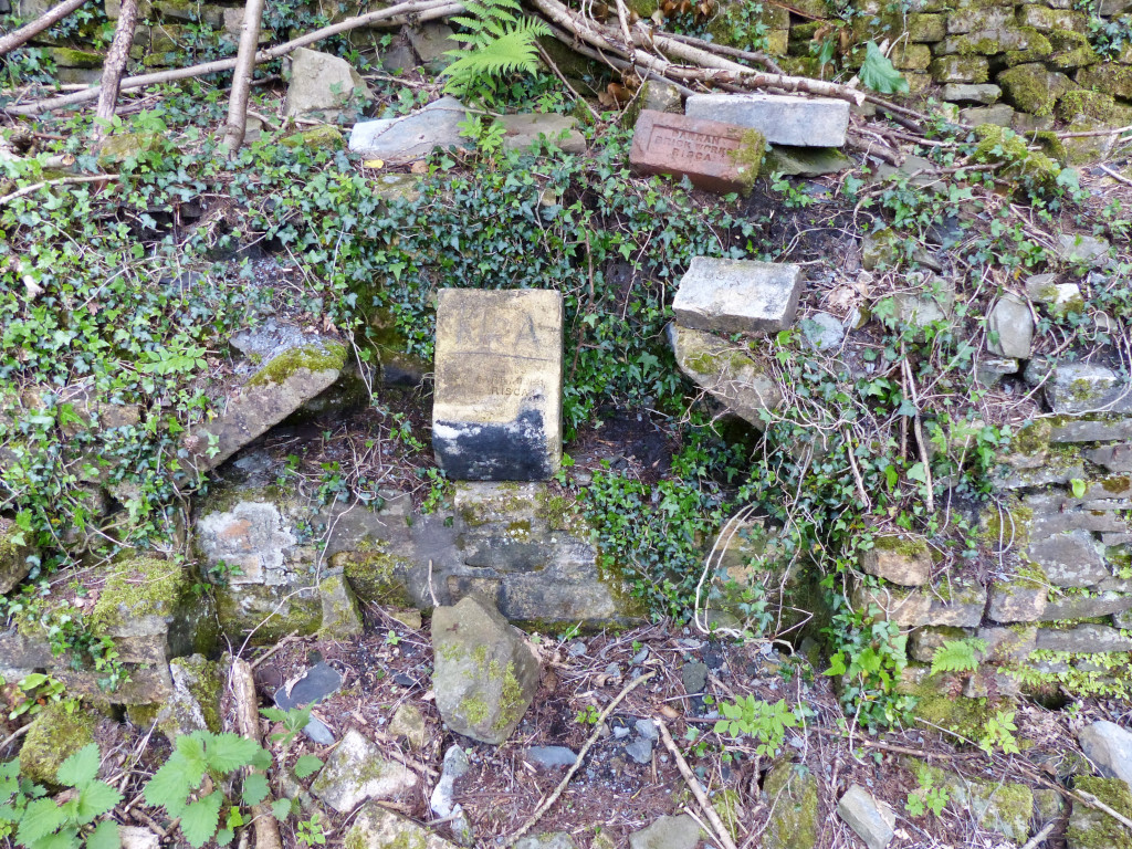 Cwm-byr-isaf farm |
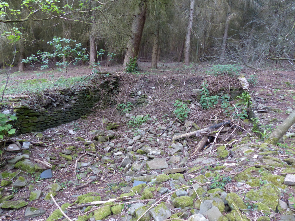 Cwm-byr-isaf farm |
 Cwm-byr-isaf farm |
 Cwm-byr-isaf farm |
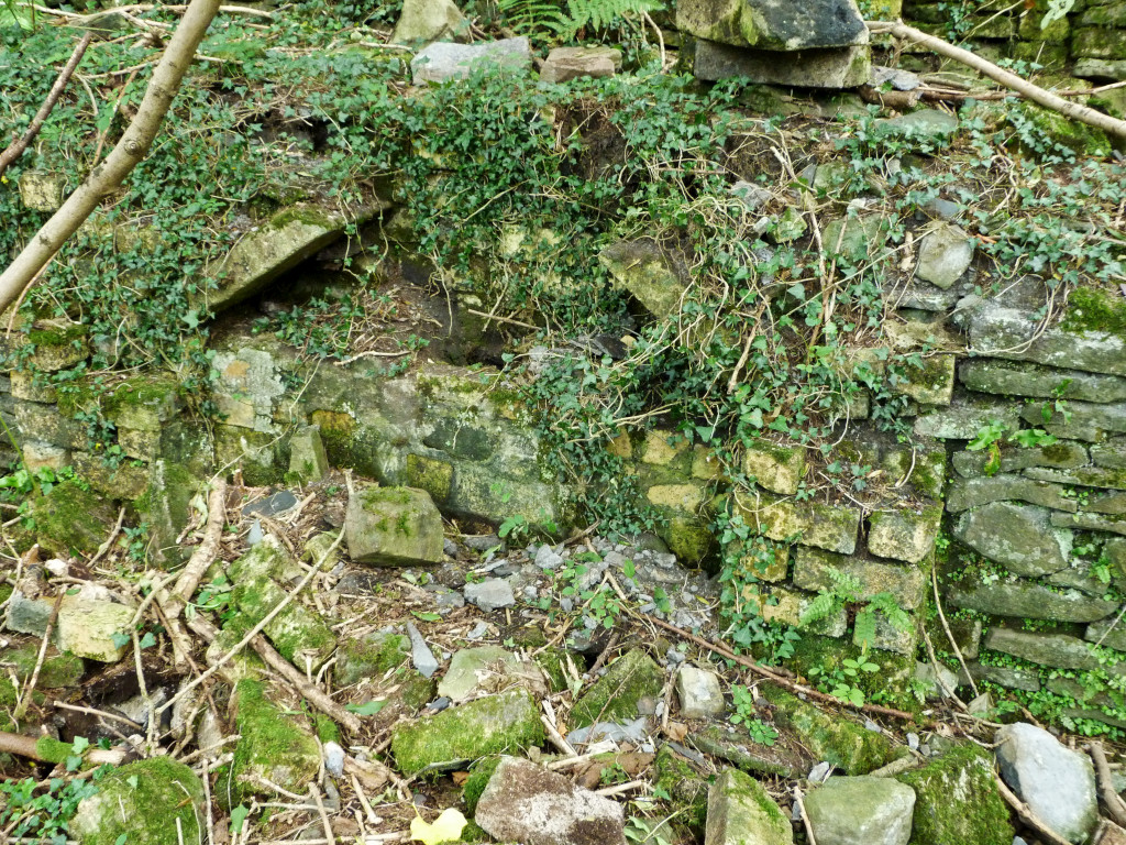 Cwm-byr-isaf farm |
 Cwm-byr-isaf farm |
 Cwm-byr-isaf farm |
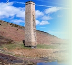
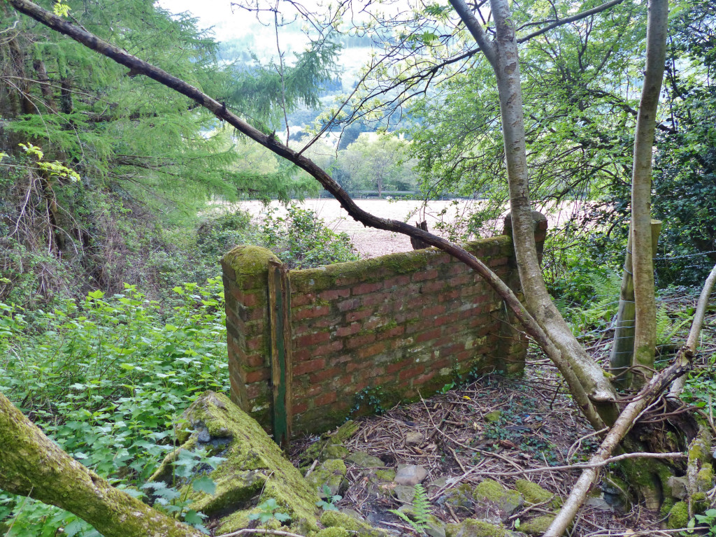
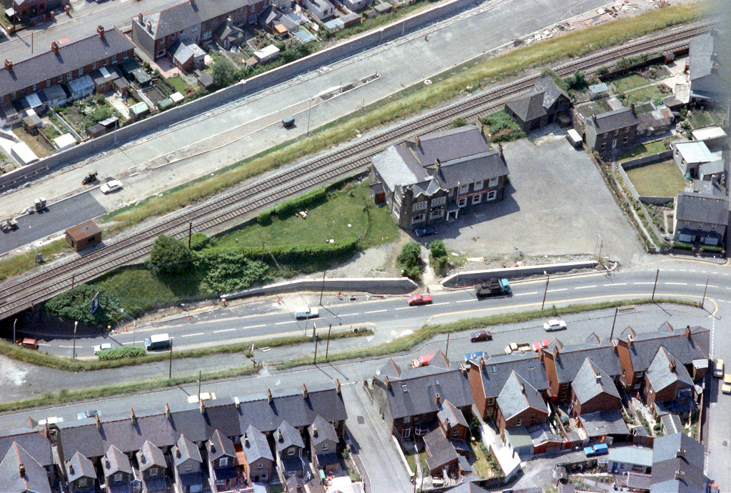
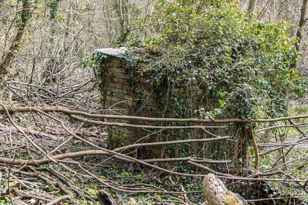
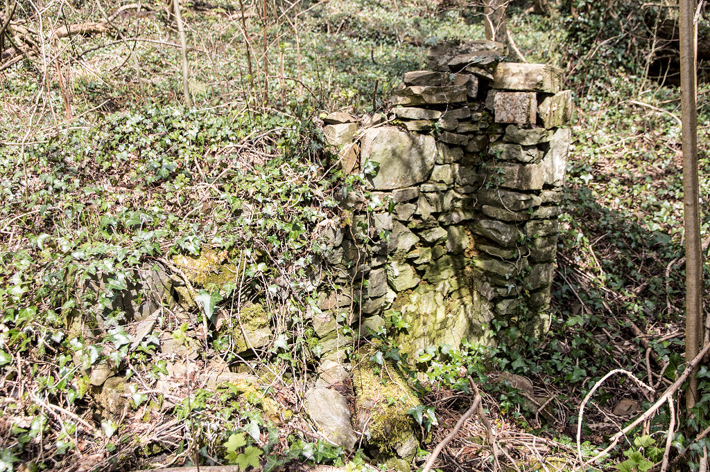
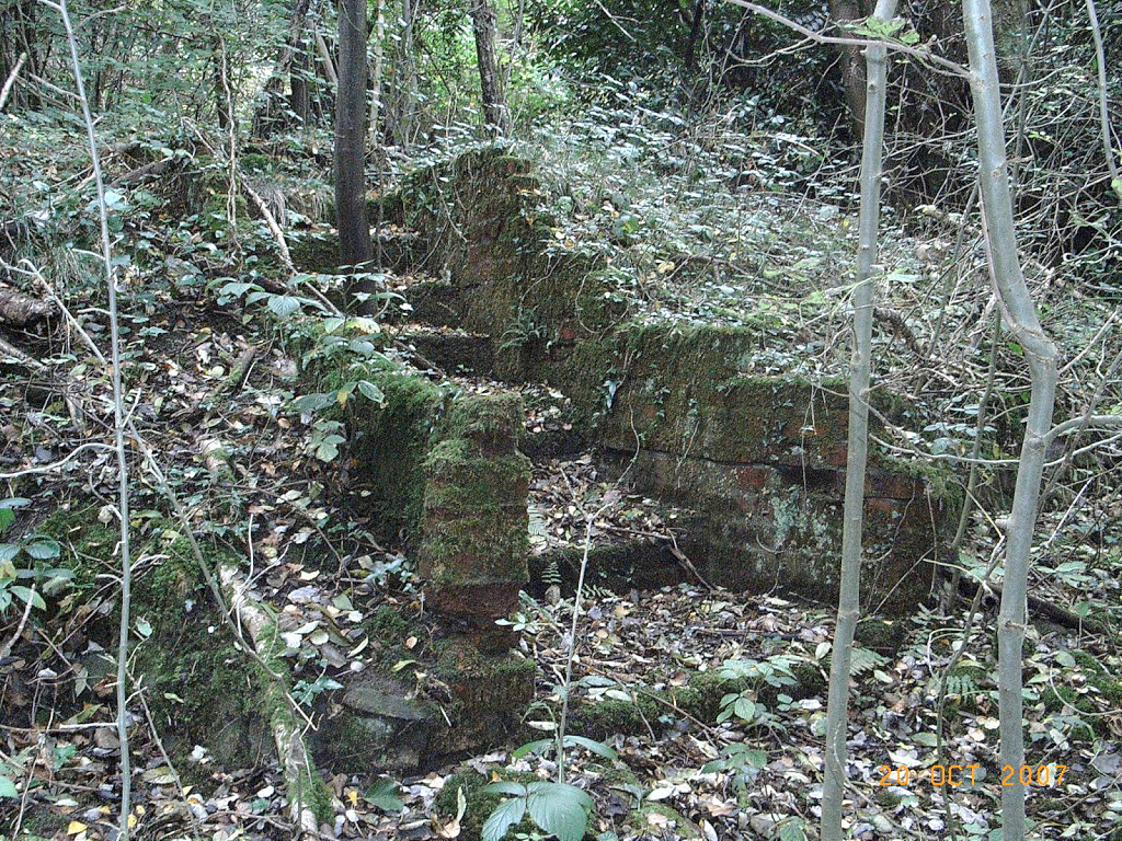
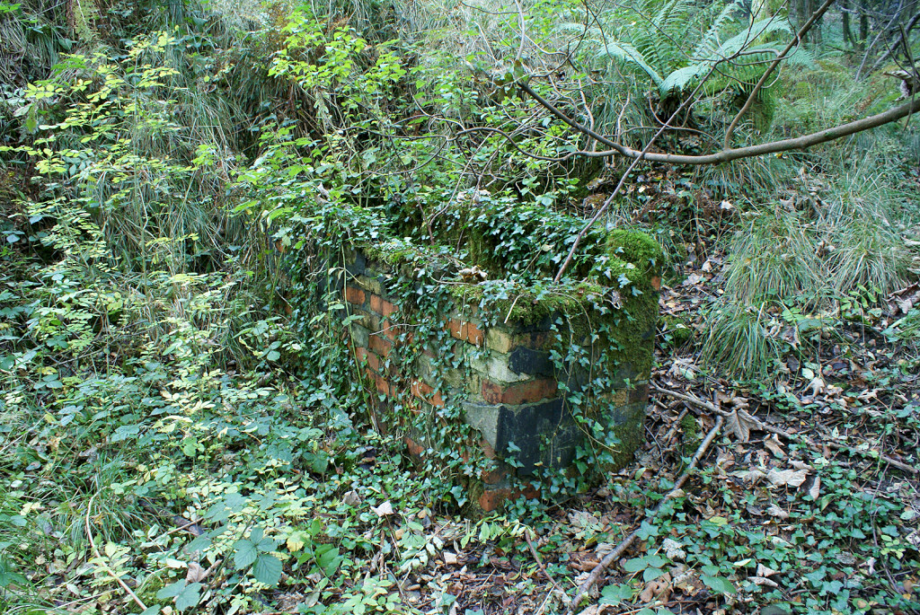
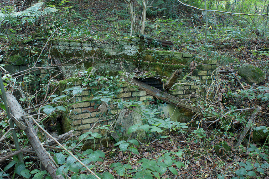
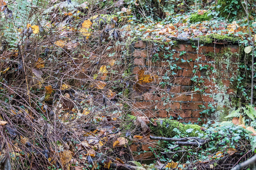
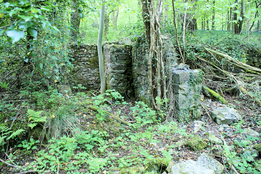
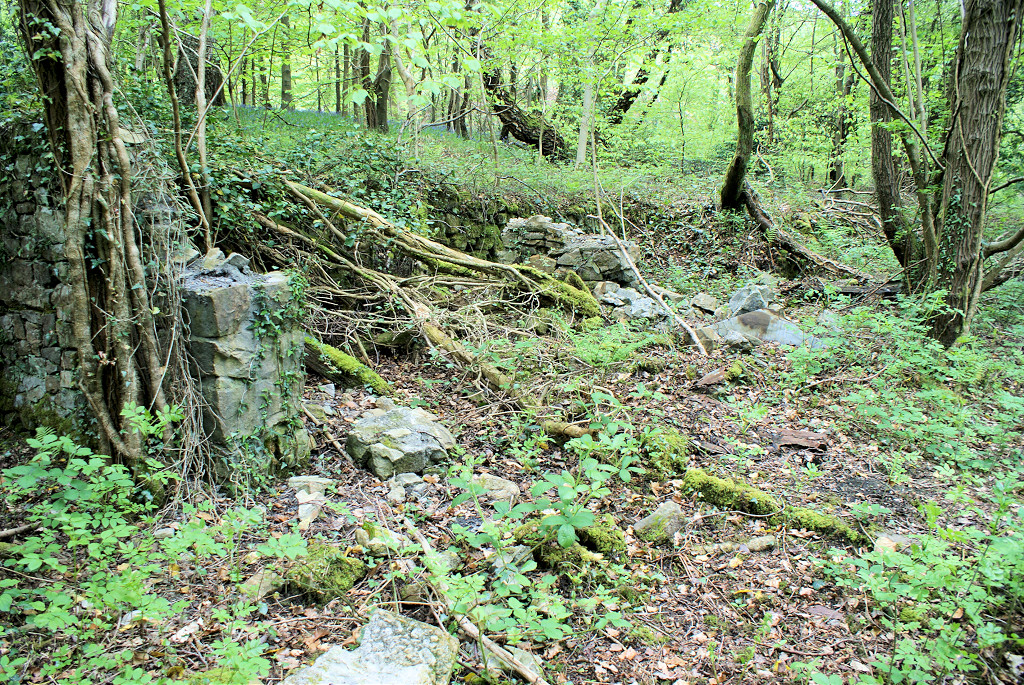
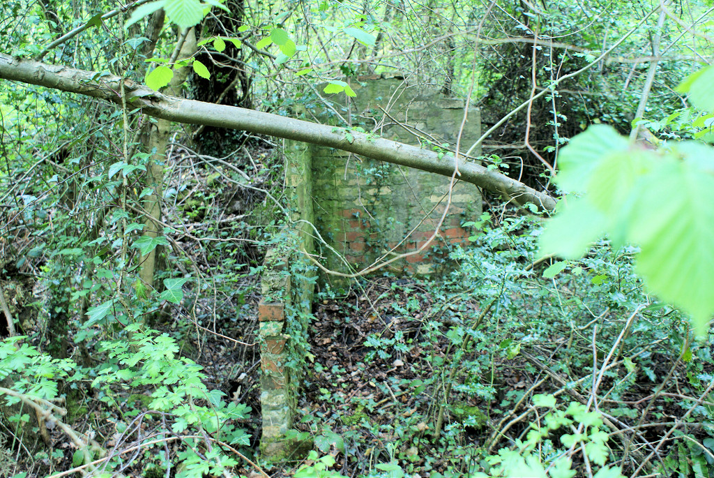
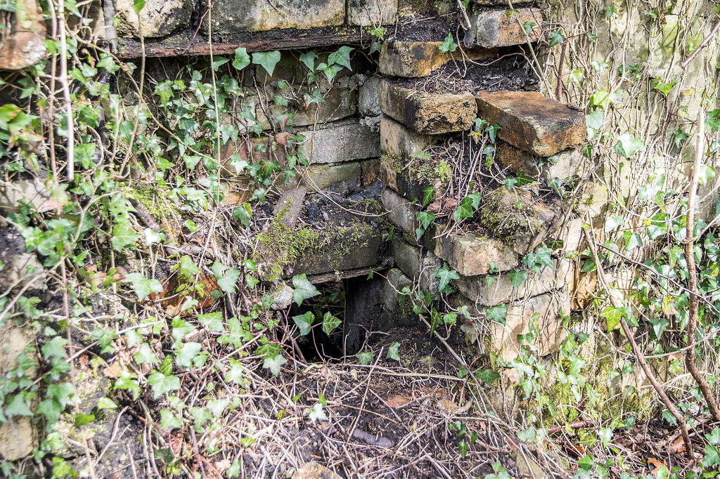
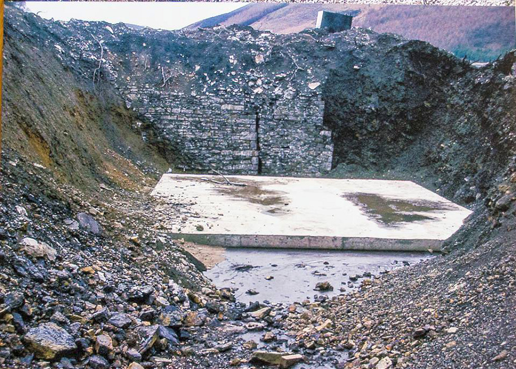
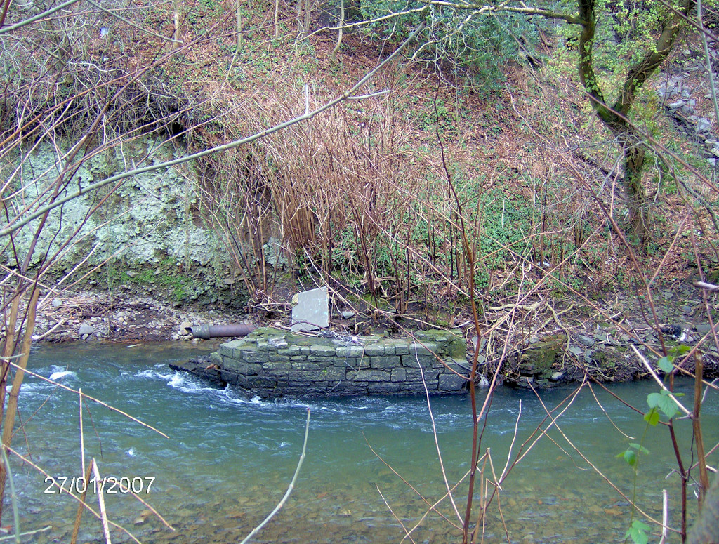
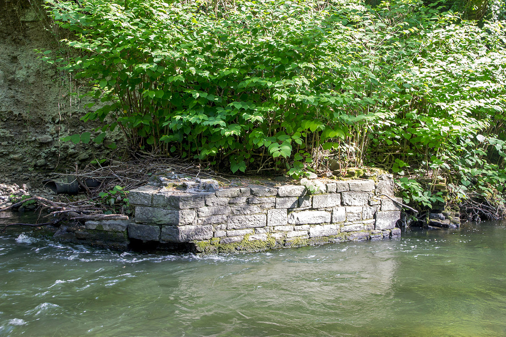
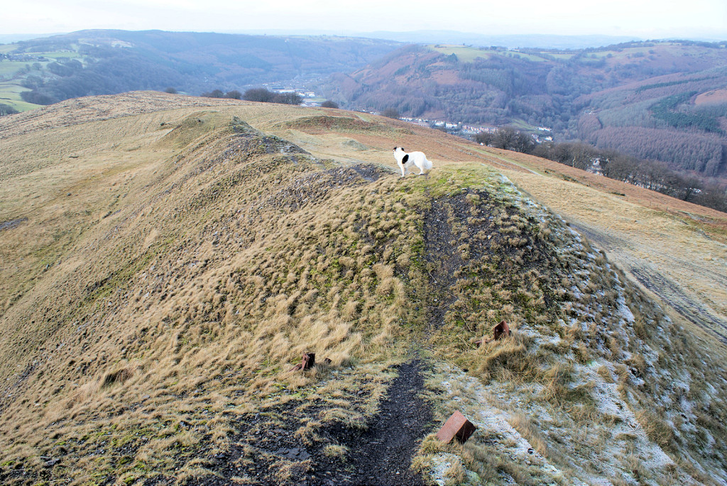
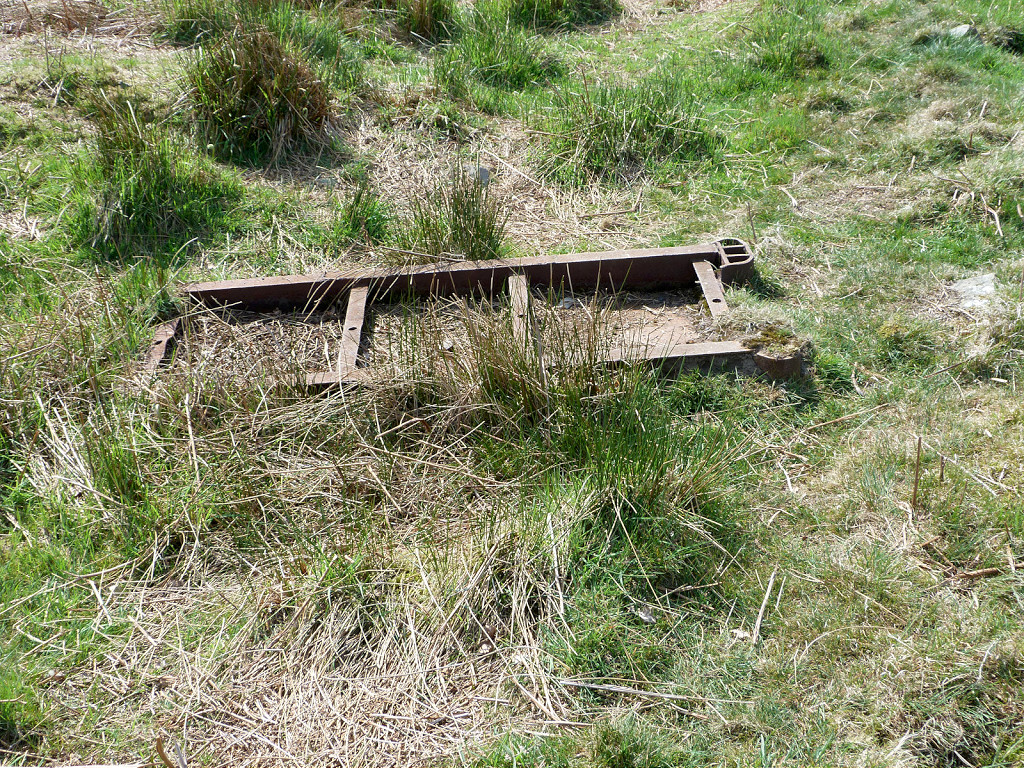
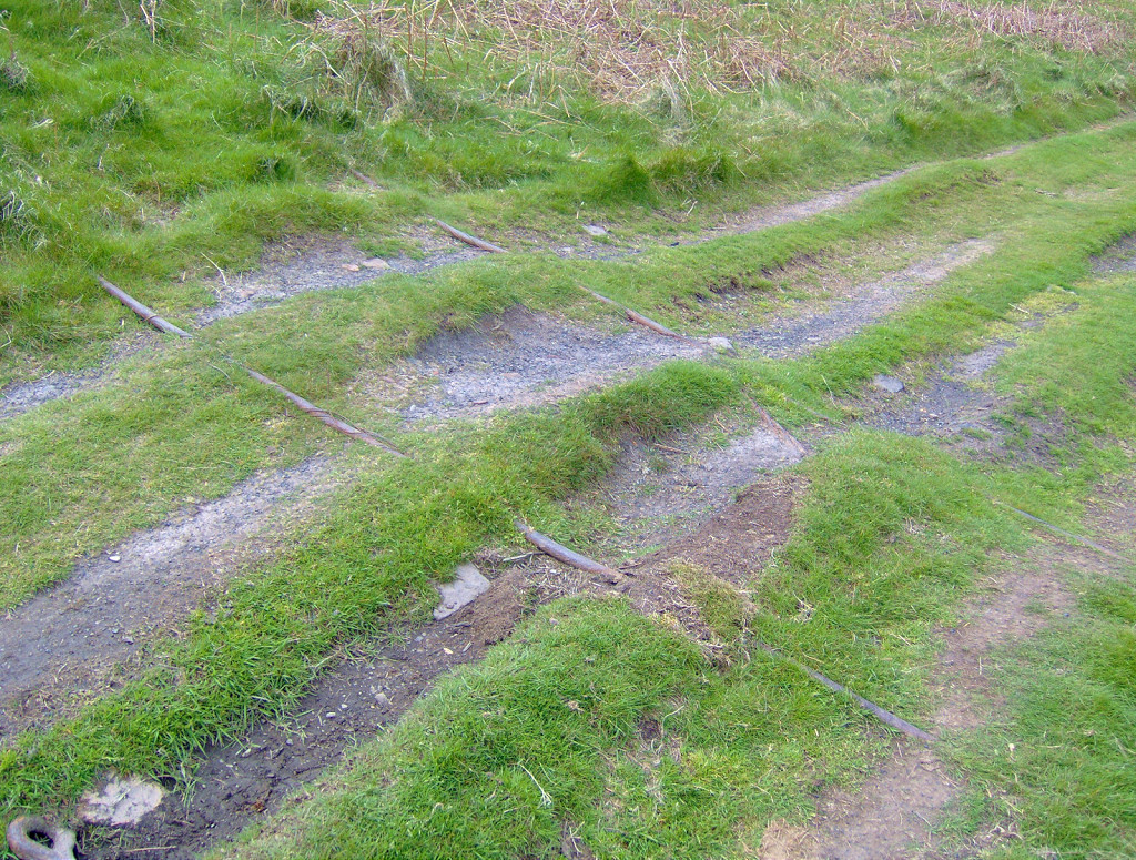
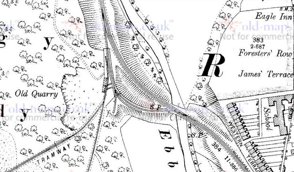
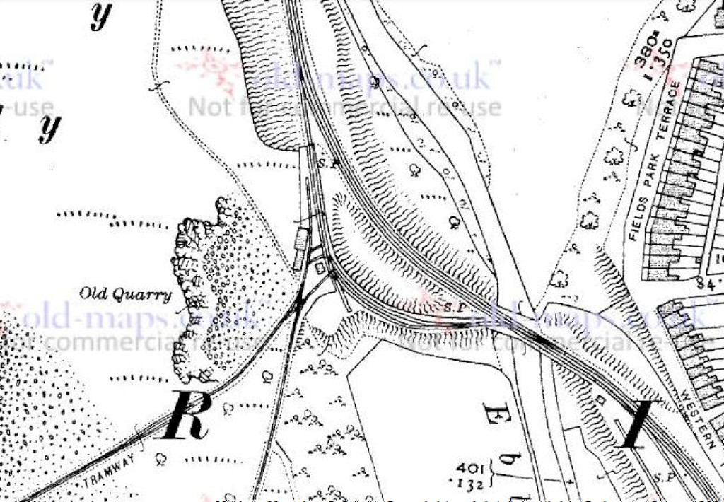
 Blackvein Road bridge foundations |
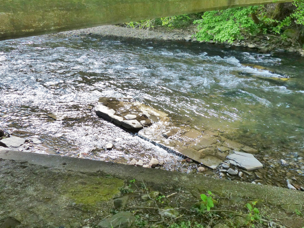 Blackvein Road bridge foundations |
 Blackvein Road bridge foundations |
|
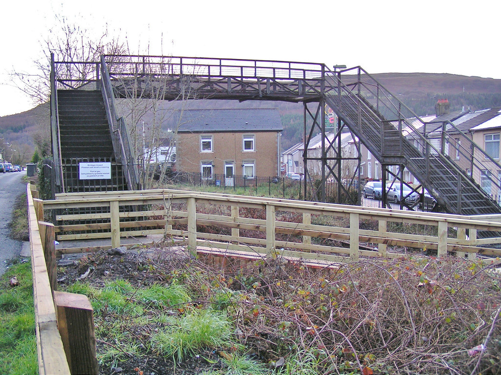
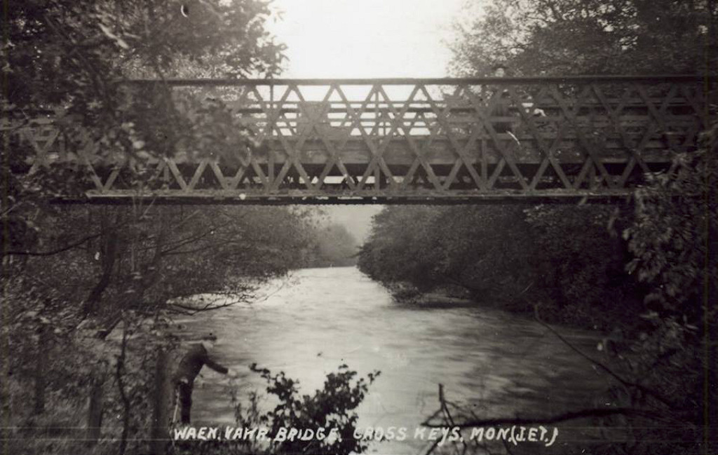
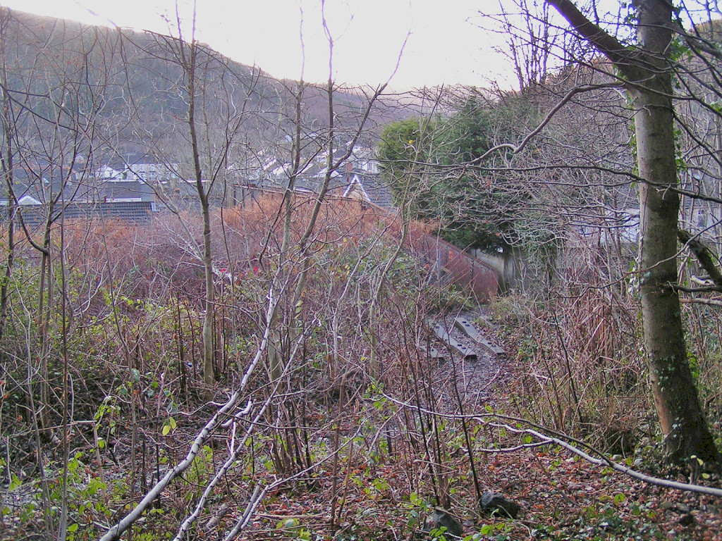 Crosskeys station footbridge |
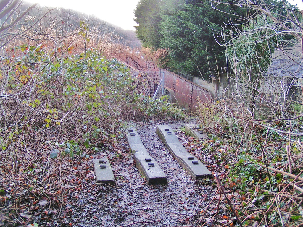 Crosskeys station footbridge |
 Crosskeys station footbridge |
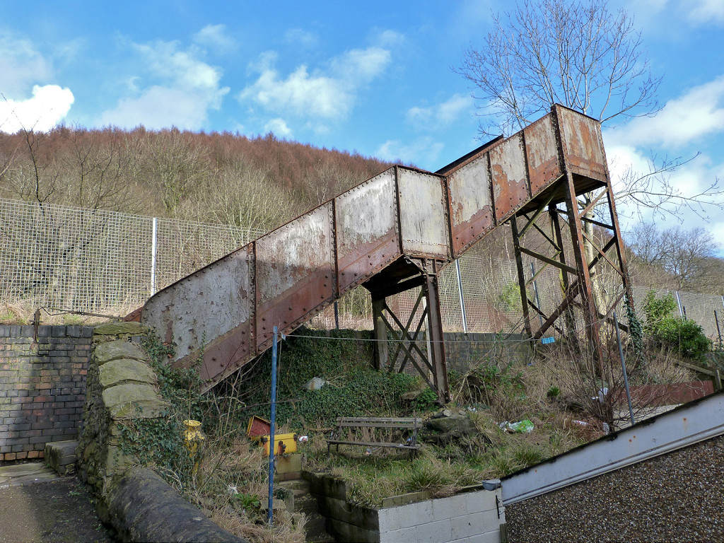 Crosskeys station footbridge |
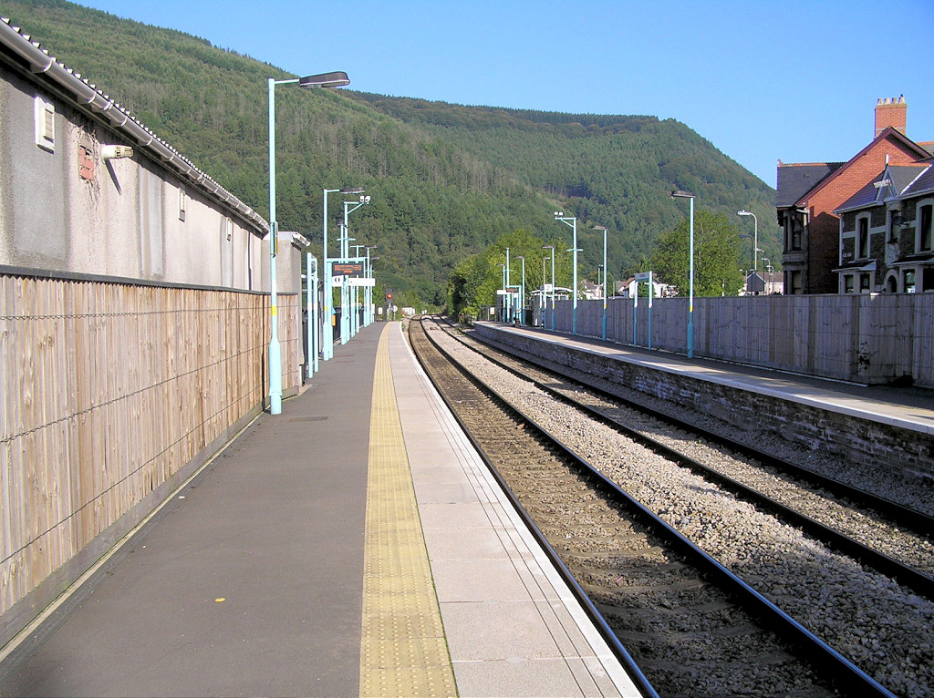 Crosskeys station |
 Crosskeys Station House |
 Crosskeys Hotel, 1976 |
 The Round House, Crosskeys |
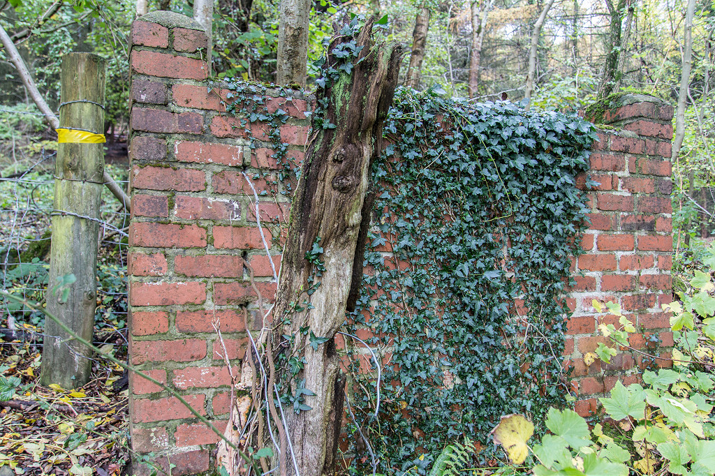
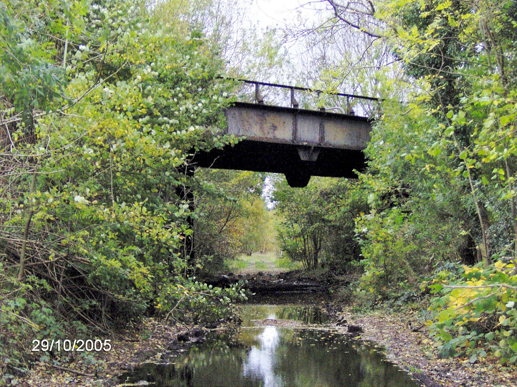
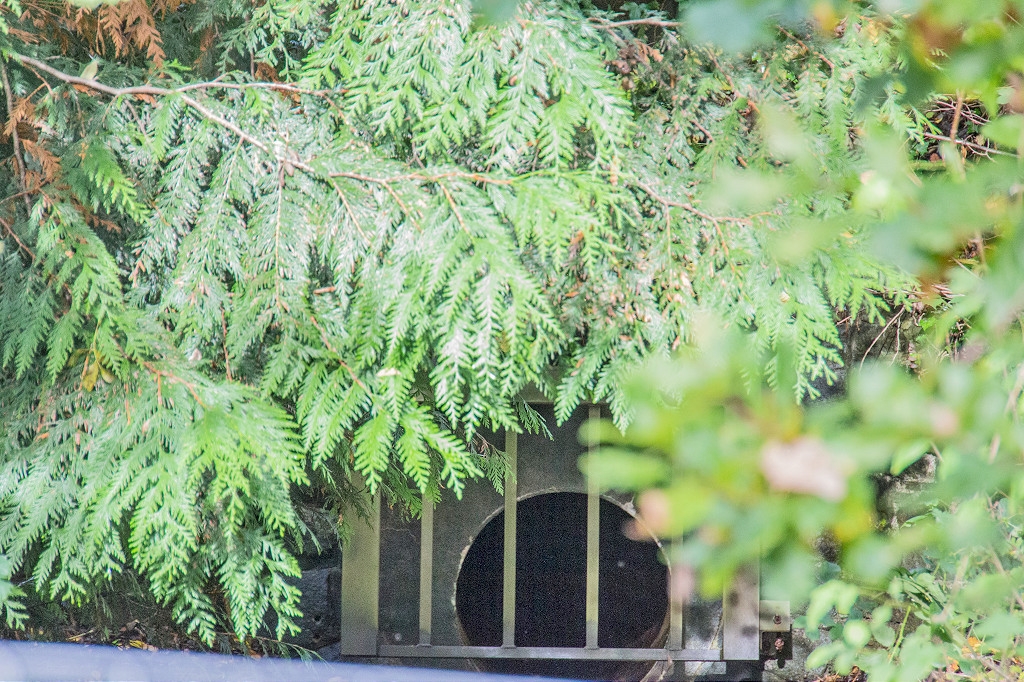
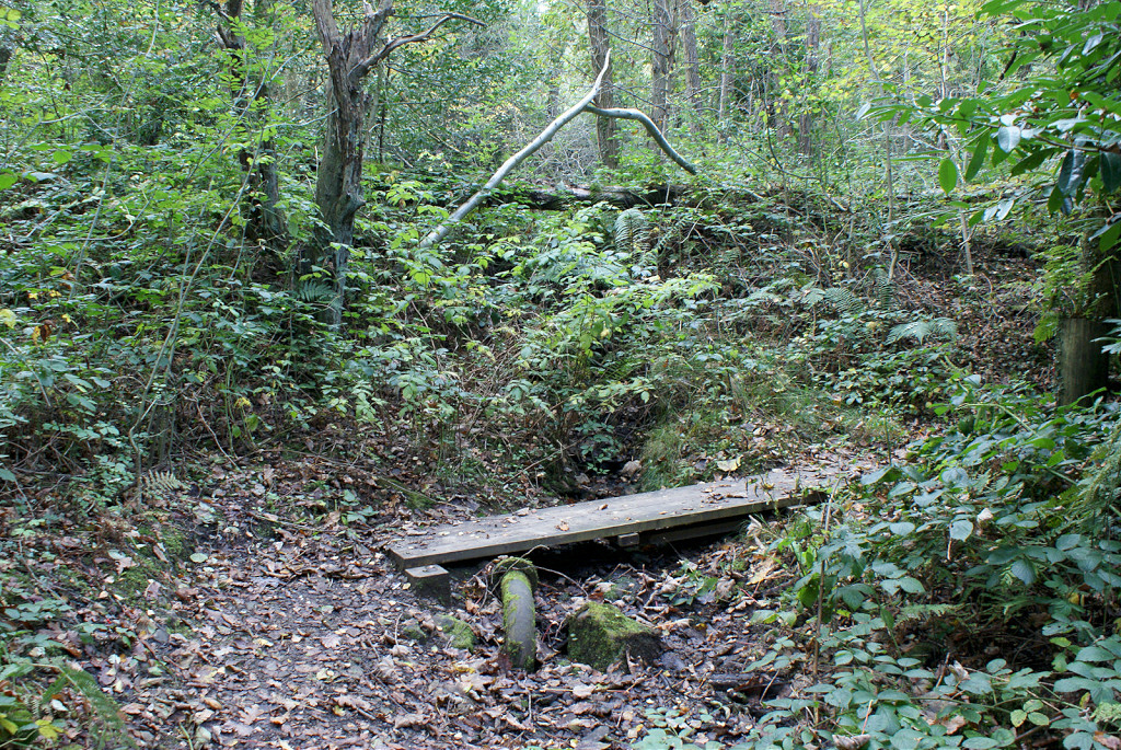
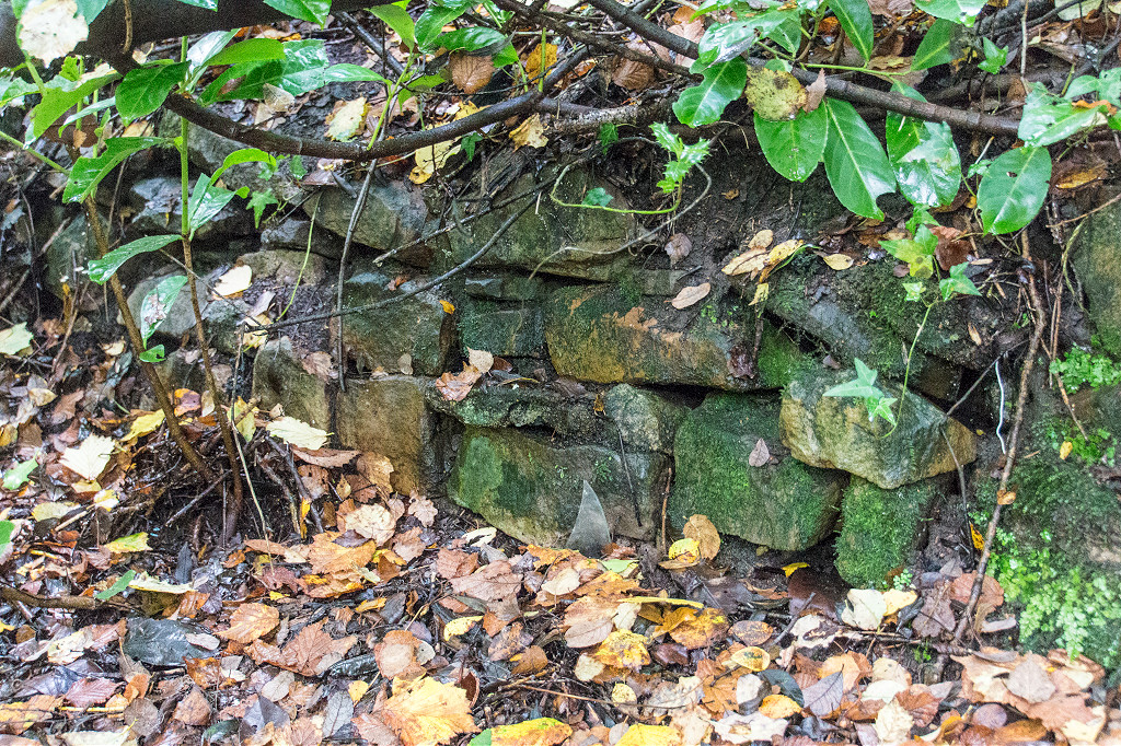
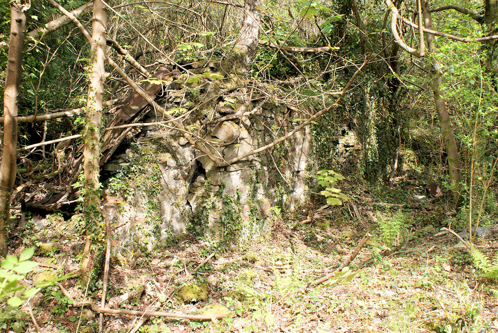
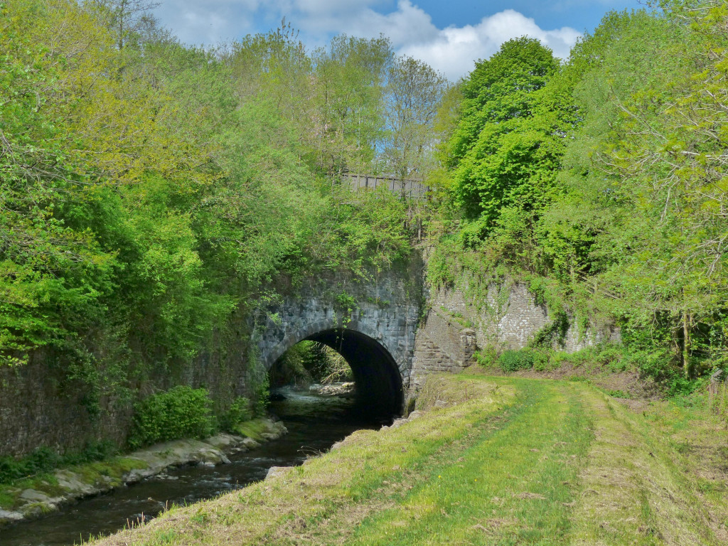
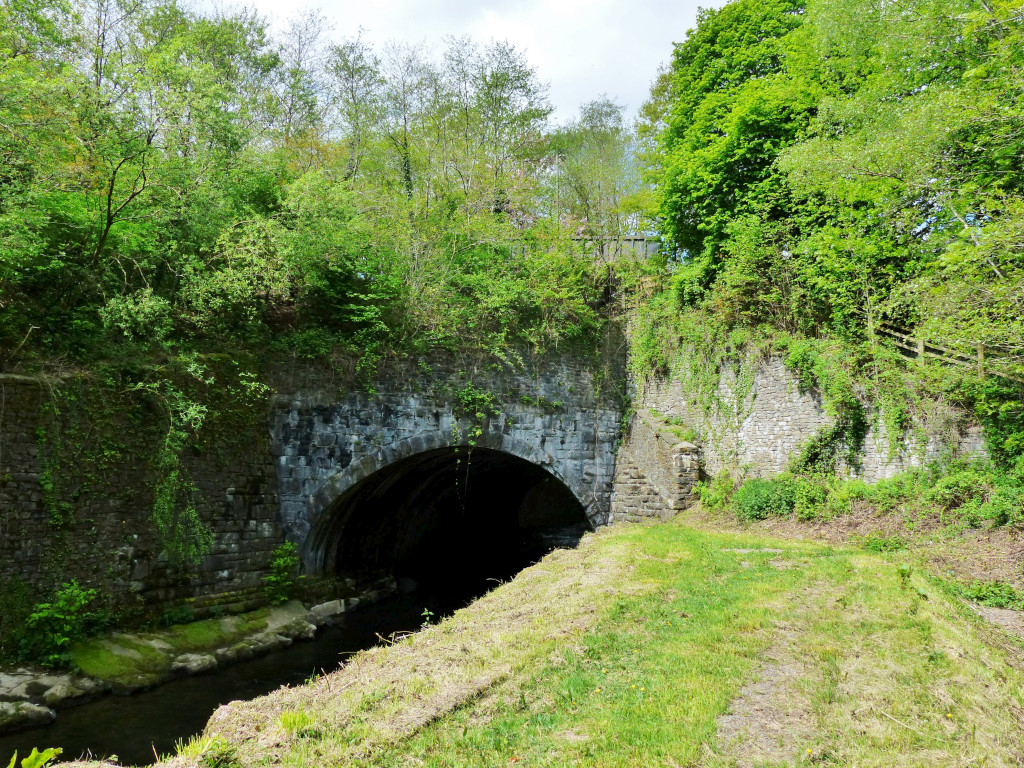
 Hall's Road culvert bridge |
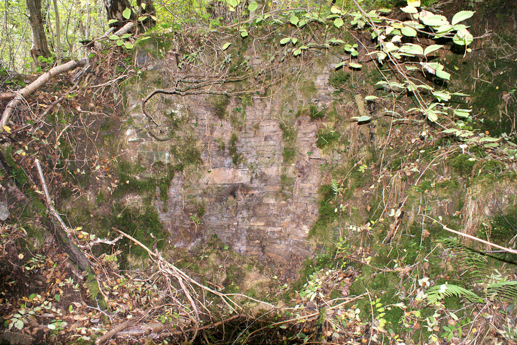
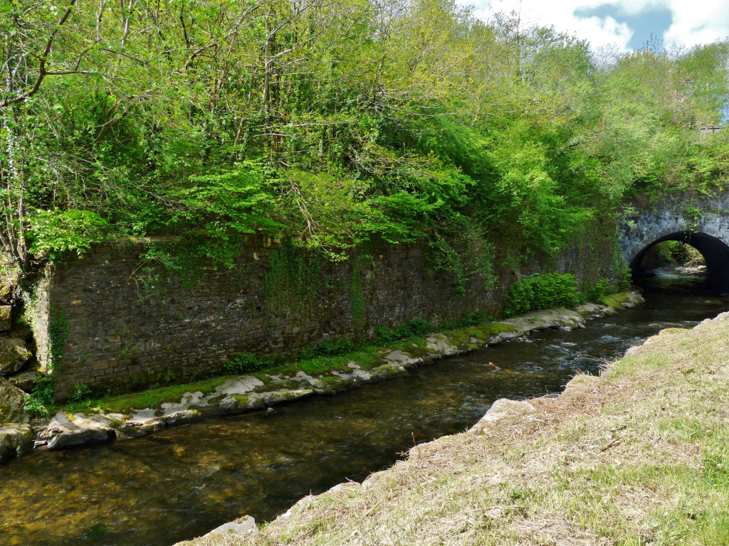
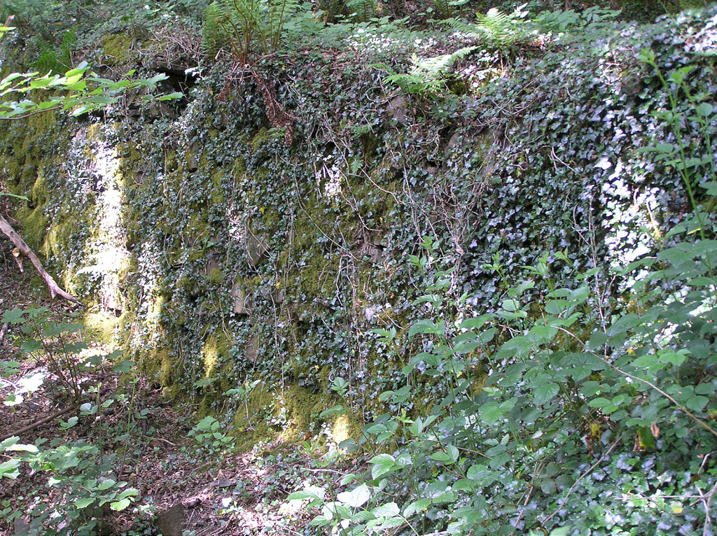
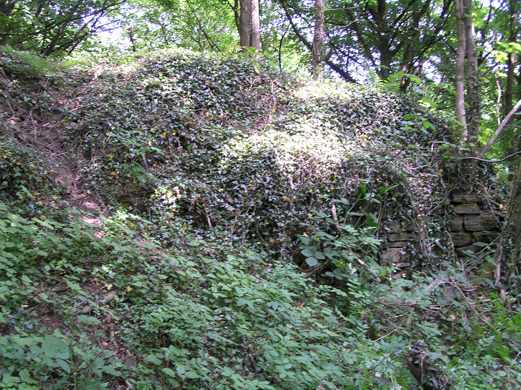
 Hall's Road cutting wall |
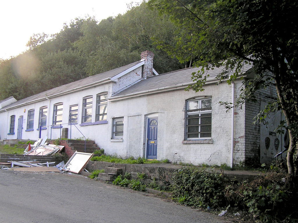
 Rees Row, beside Hall's Road |
 Rees Row, beside Hall's Road |
 Water trough beside Hall's Road |
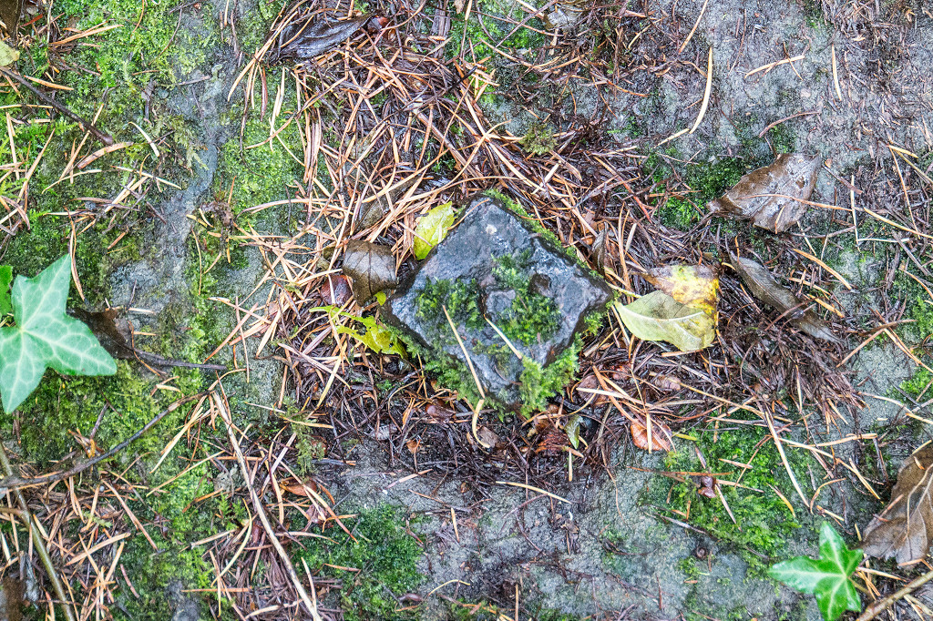
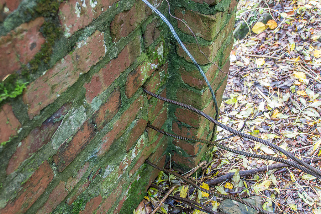
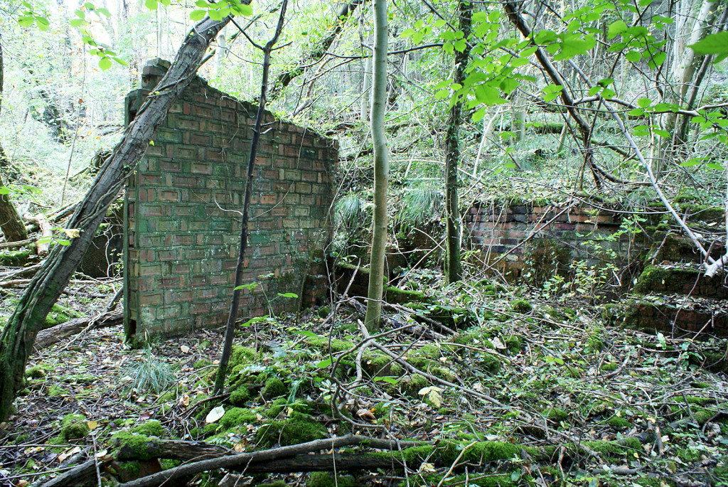
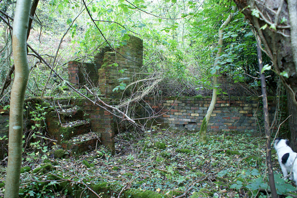
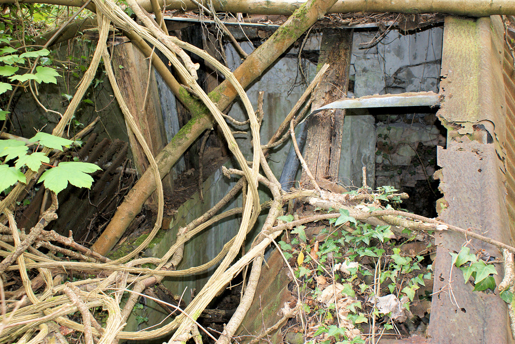
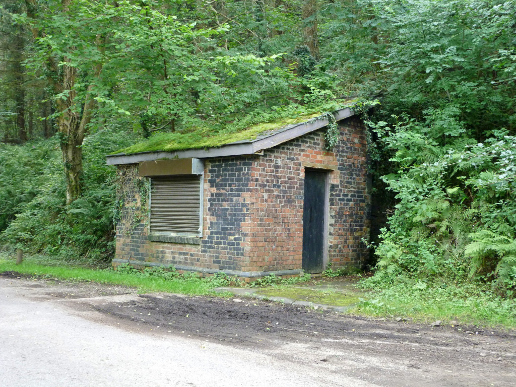
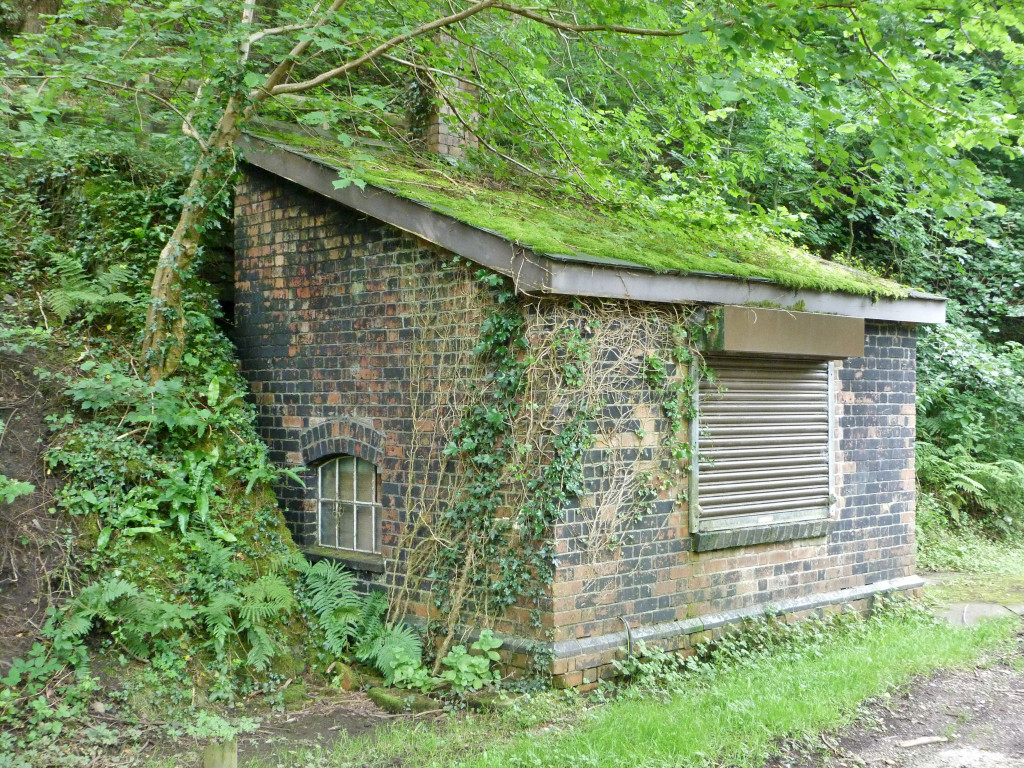
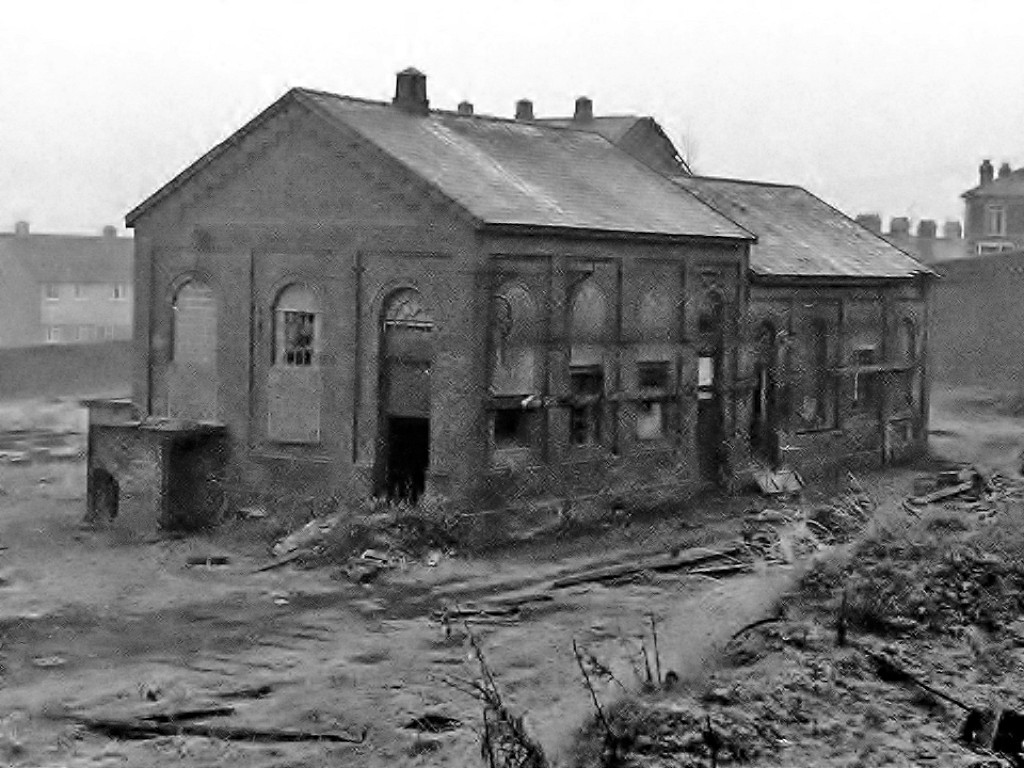
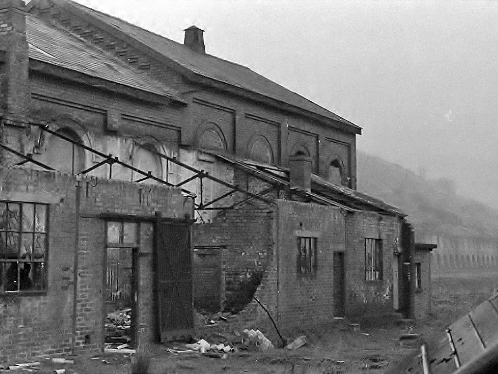
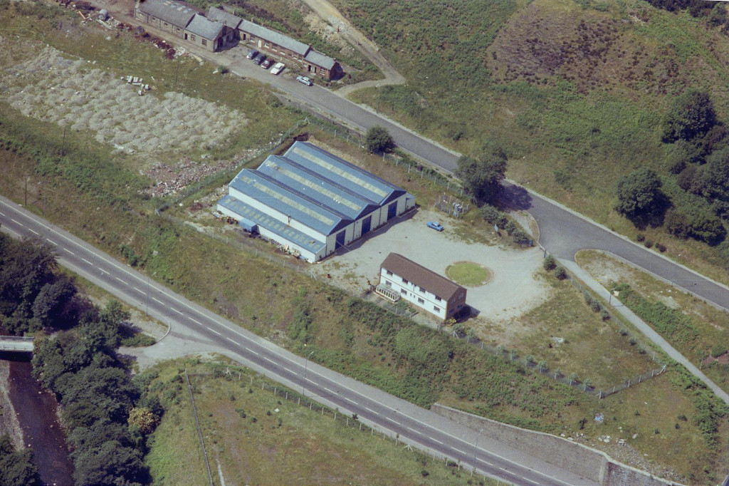
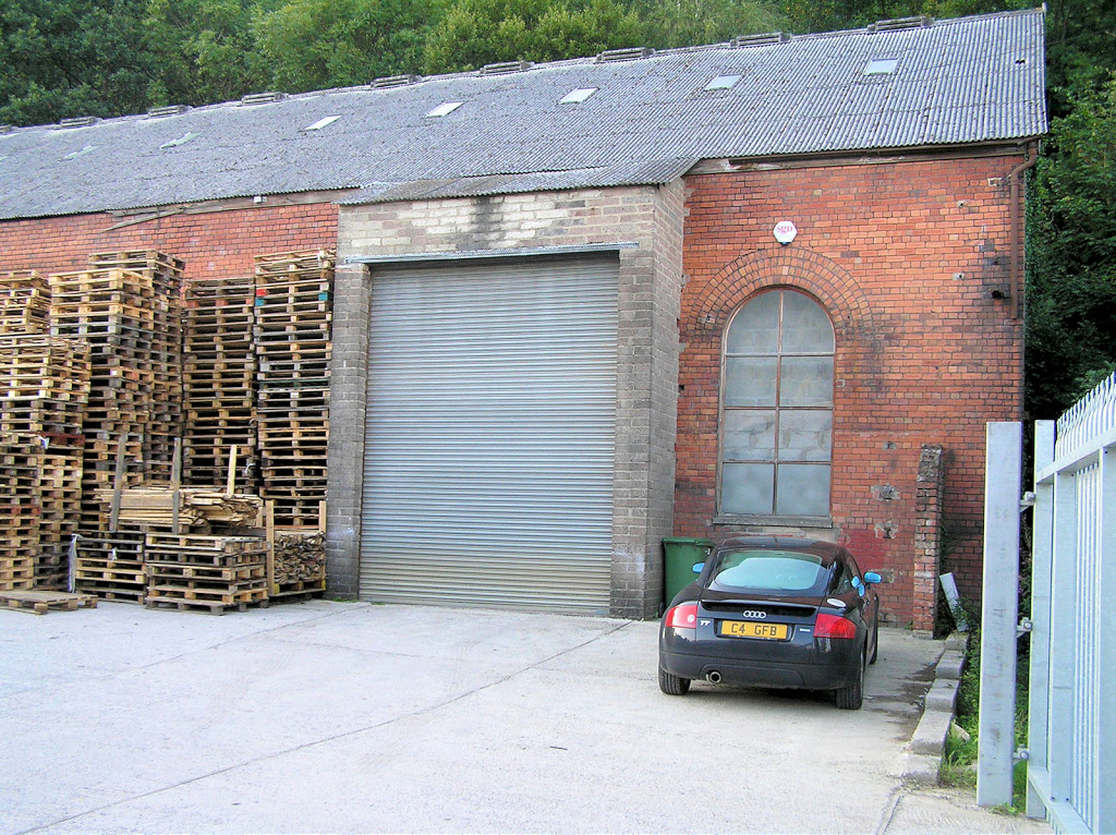
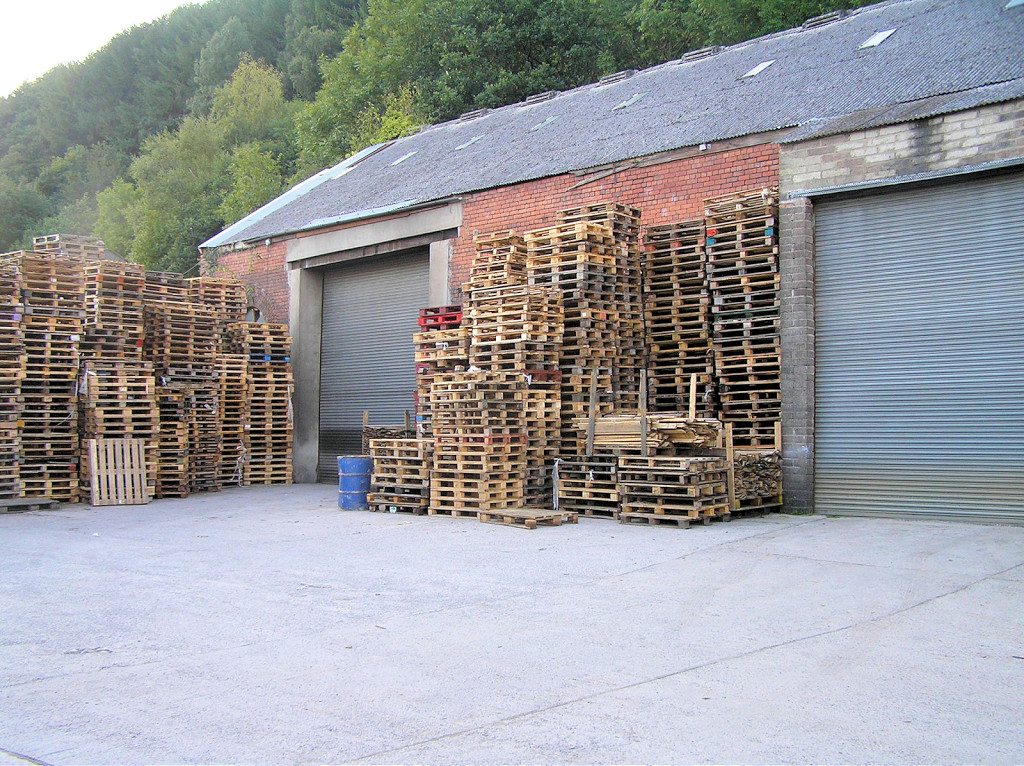
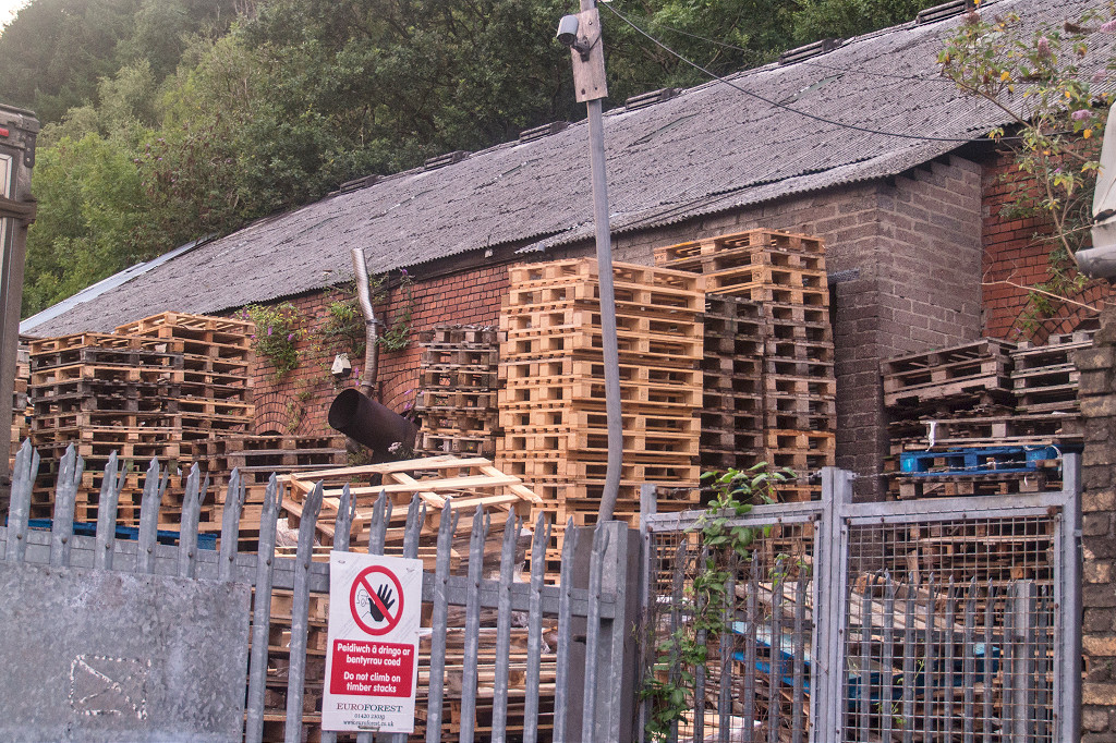
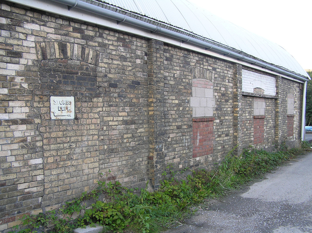
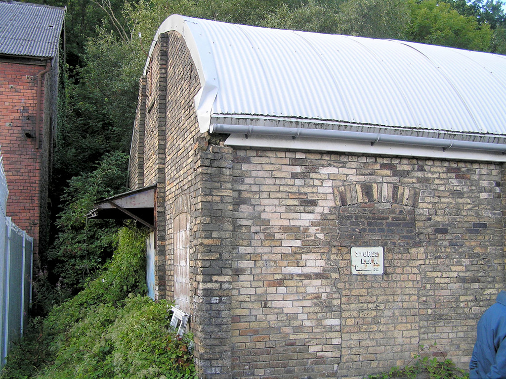
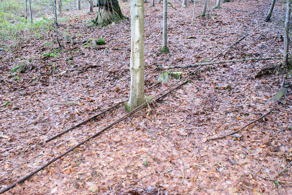
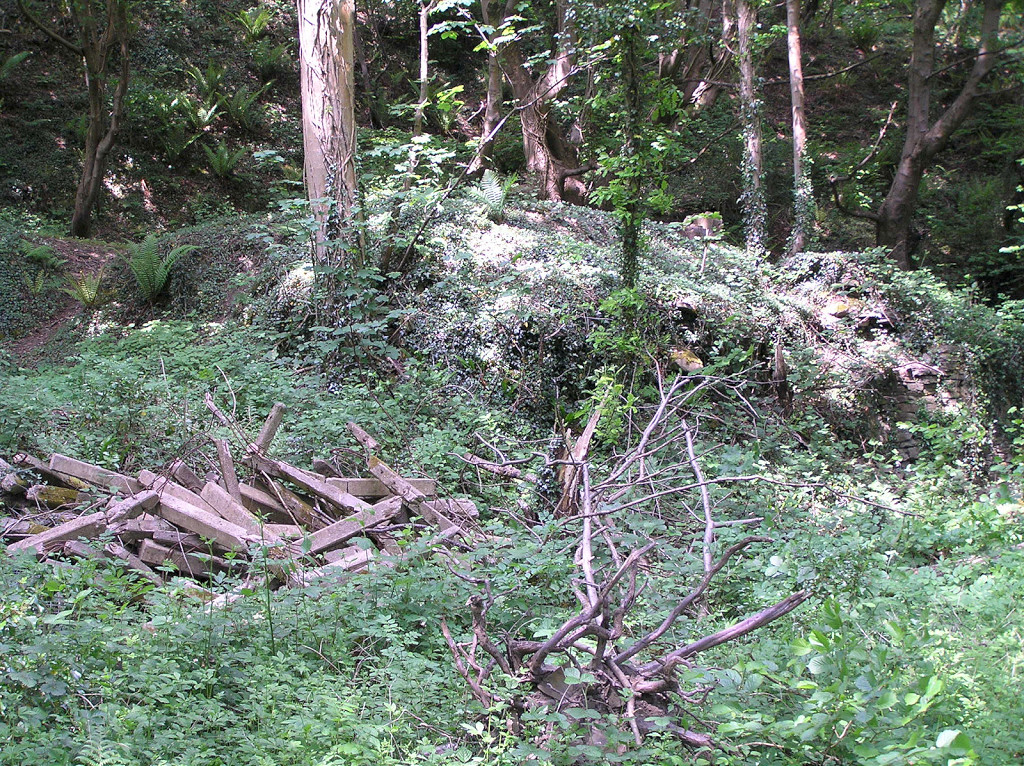
 Sheds and foundations |
 Sheds and foundations |
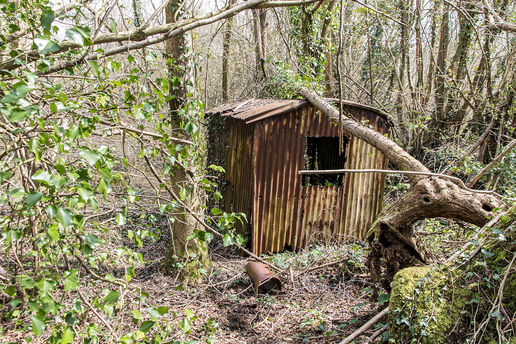 Sheds and foundations |
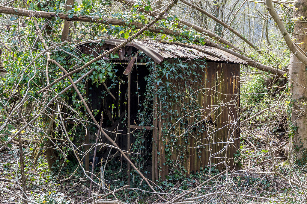 Sheds and foundations |
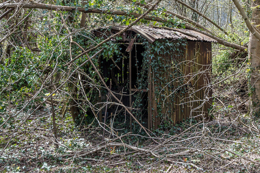 Sheds and foundations |
 Sheds and foundations |
 Sheds and foundations |
 Sheds and foundations |
 Sheds and foundations |
 Sheds and foundations |
|
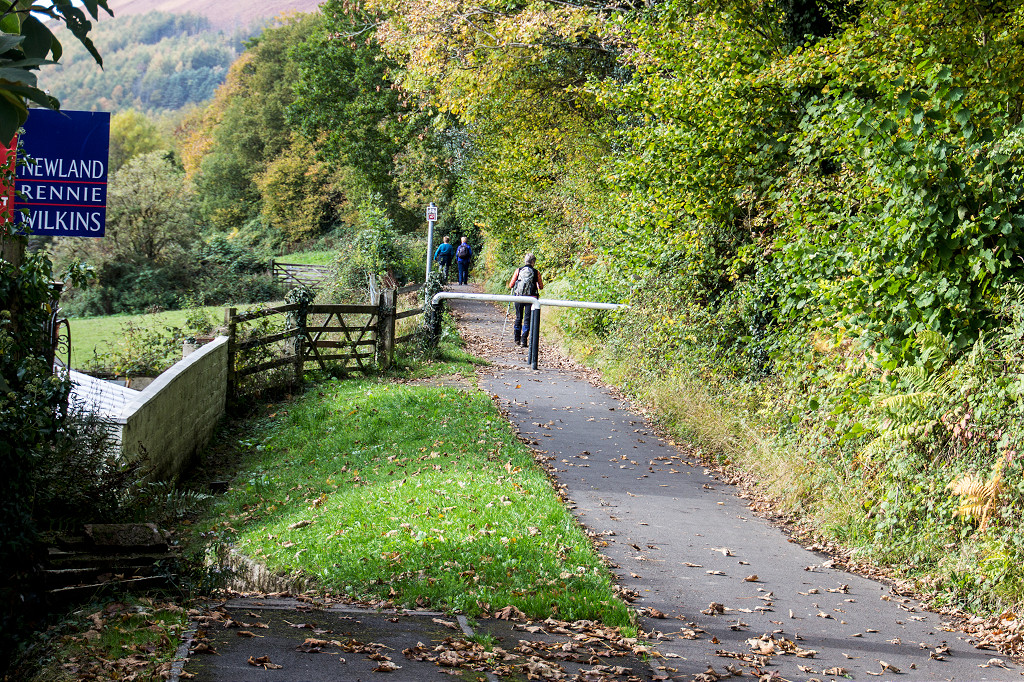
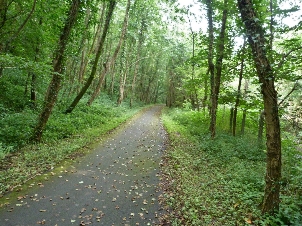
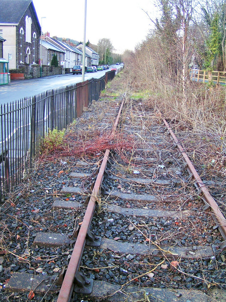 Halls Road looking North |
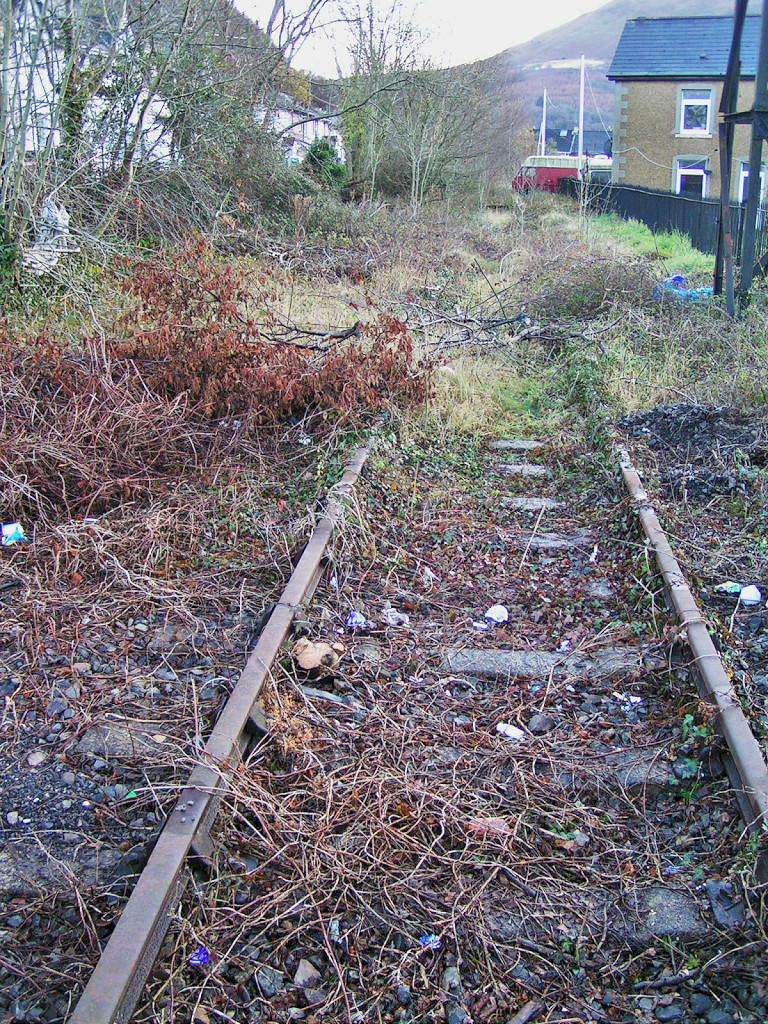 Halls Road looking South |
 Halls Road looking North |
 Halls Road looking South |
 Halls Road Terrace footbridge |
 Halls Road Terrace footbridge |
 Twyncarn Road bridge |
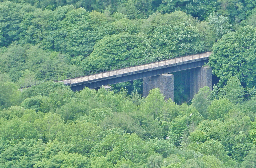 Ebbw River viaduct |
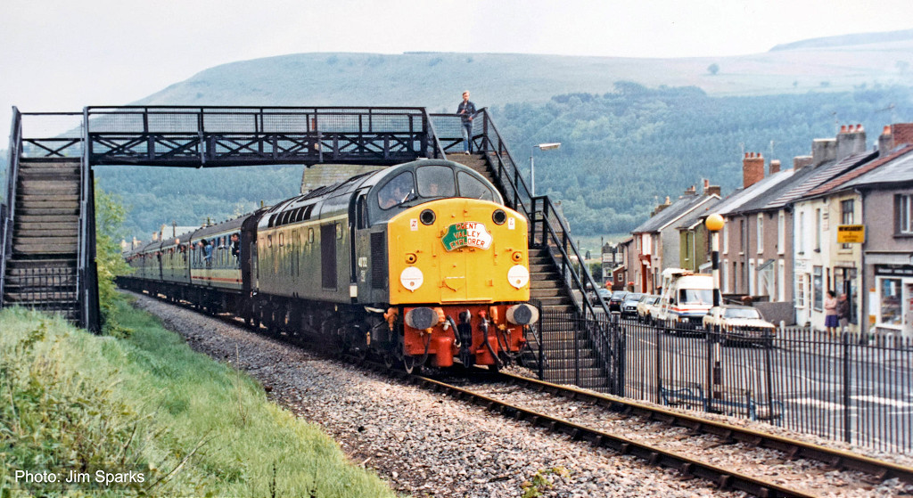 'D200 40122' at the High Street |
 'D200 40122' on the viaduct |
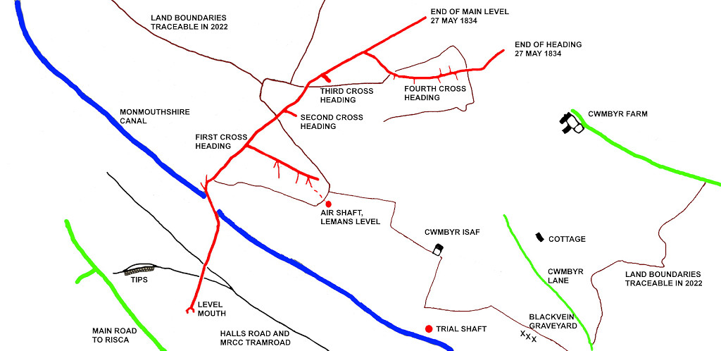 Cwmbyr Colliery, Crosskeys, 1834 |
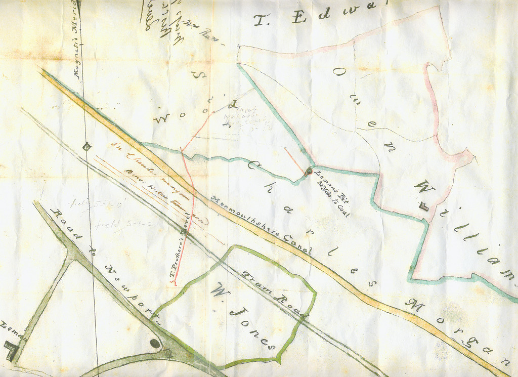 Cwmbyr Colliery, Crosskeys, c1835 |
 Drill Hall, Protheroe's level |
 Drill Hall, Protheroe's level |
 Drill Hall, Leman's Level |
 Drill Hall, Leman's Level |
 Leman's Level stonework |
 Drill Hall, Leman's Level |
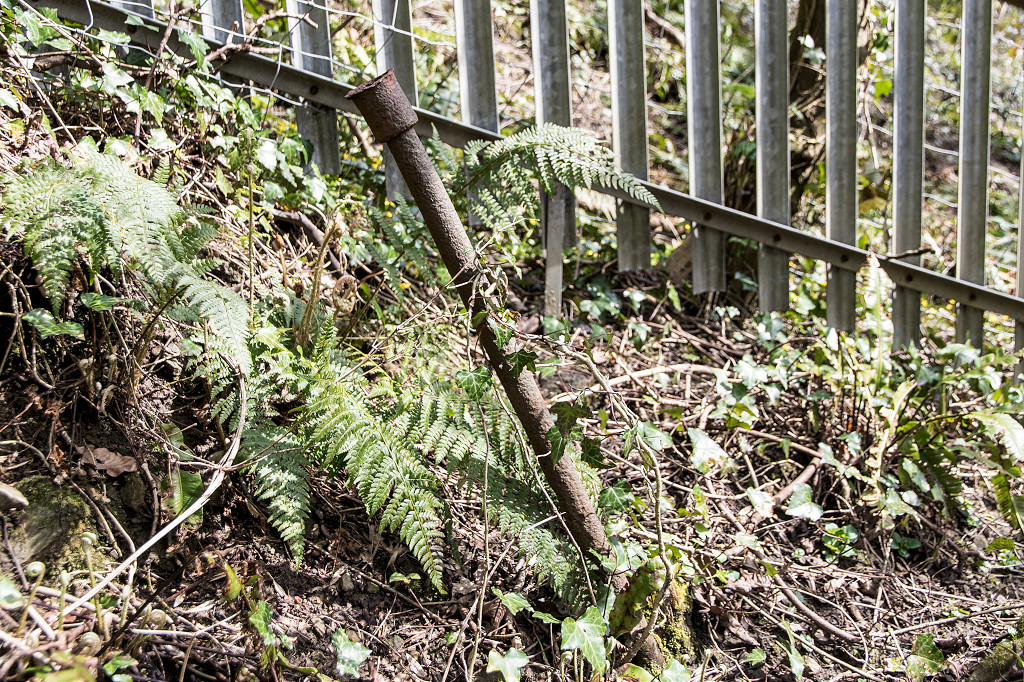
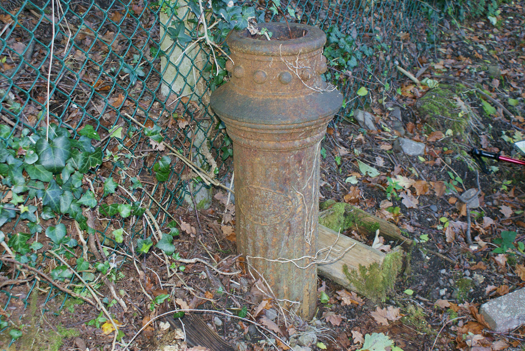
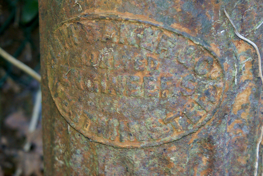
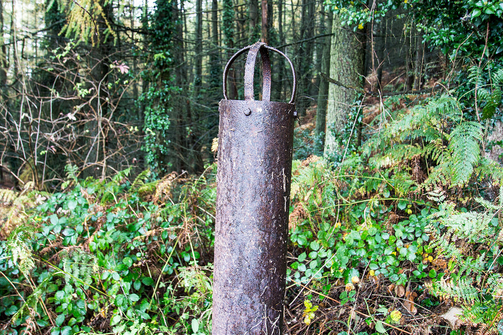 Leman's Level ventilation pipe |
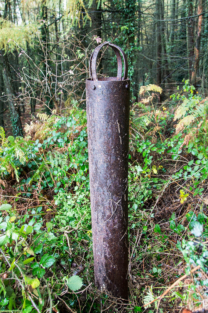 Leman's Level ventilation pipe |
 Interior of ventilation pipe |
 Workings next to Leman's Level |
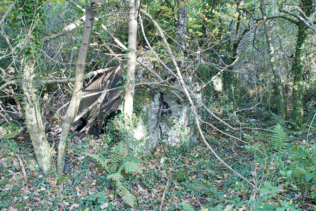
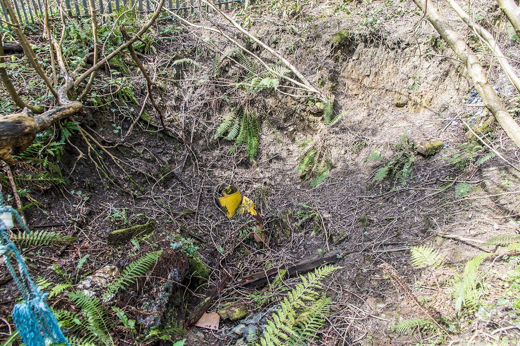 Possible Drill Hall Level collapse |
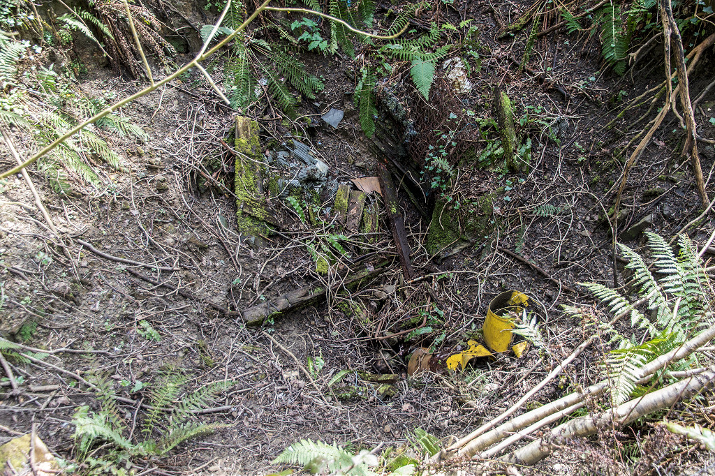 Possible Drill Hall Level collapse |
 Pipe at collapse site |
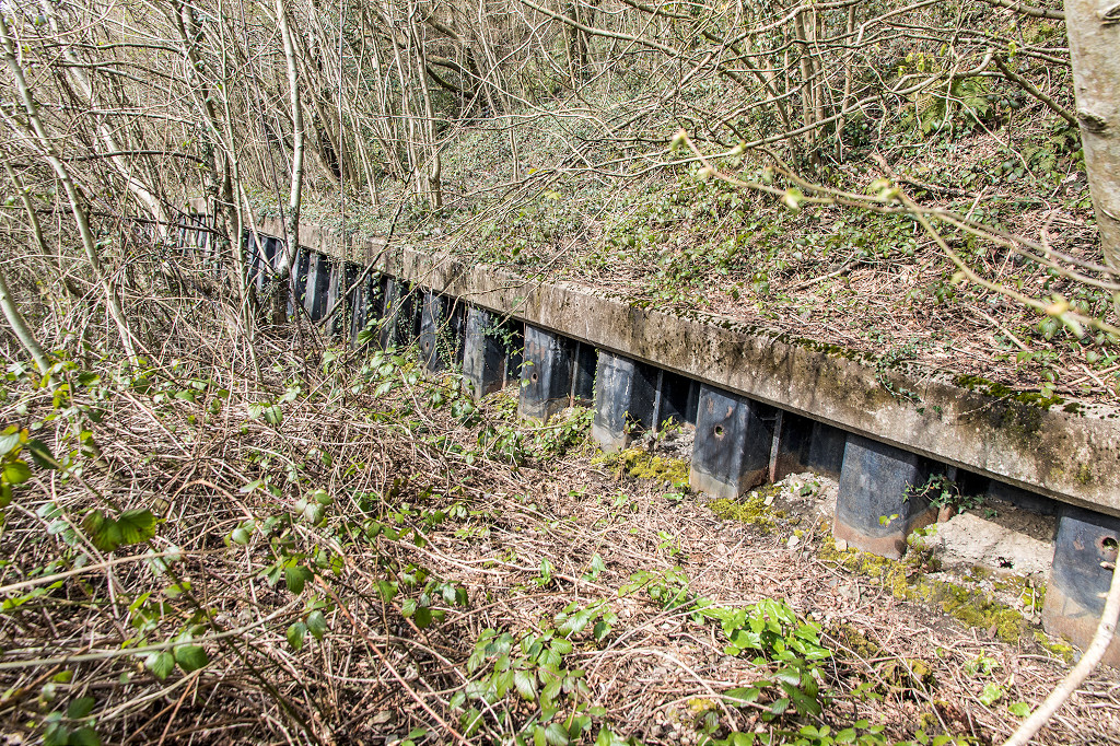
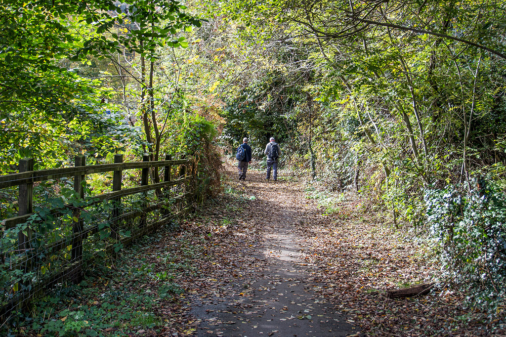
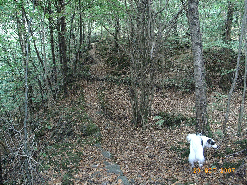
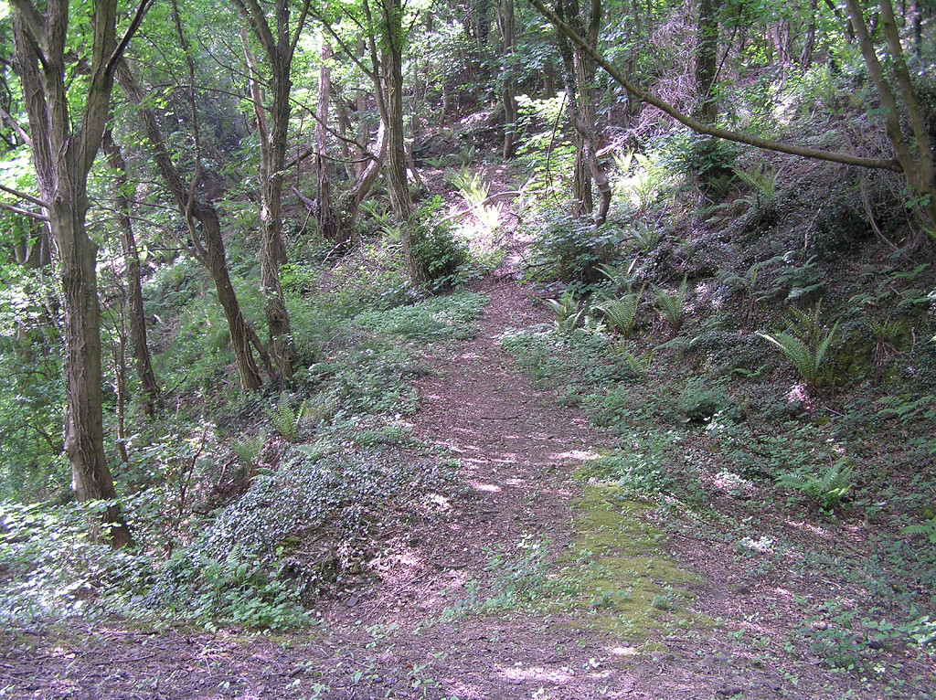
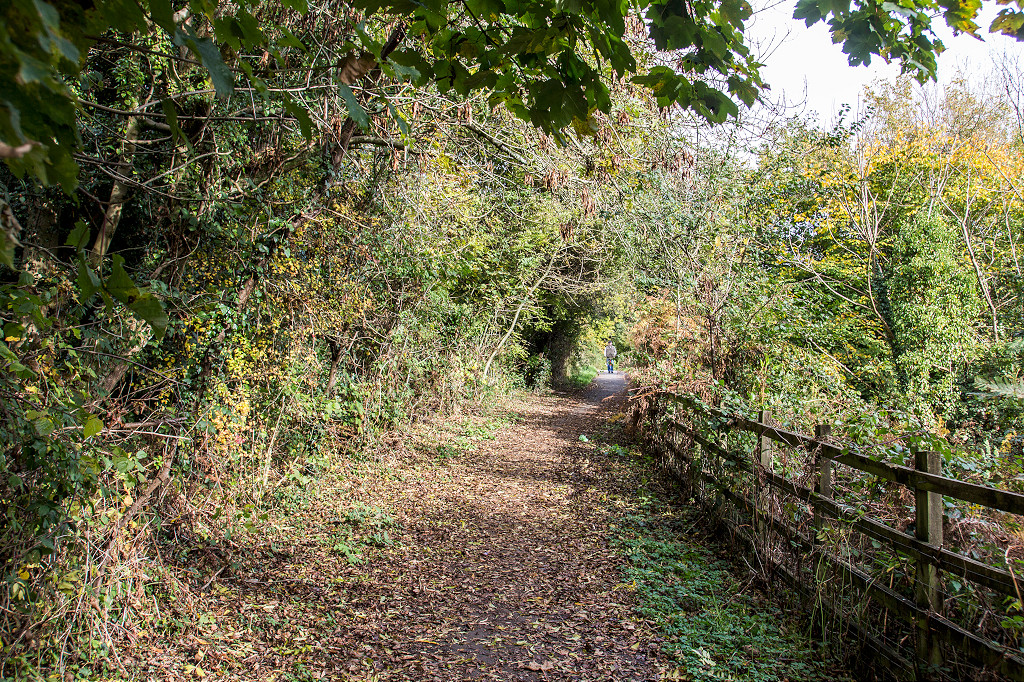 The route looking up |
 The route looking up |
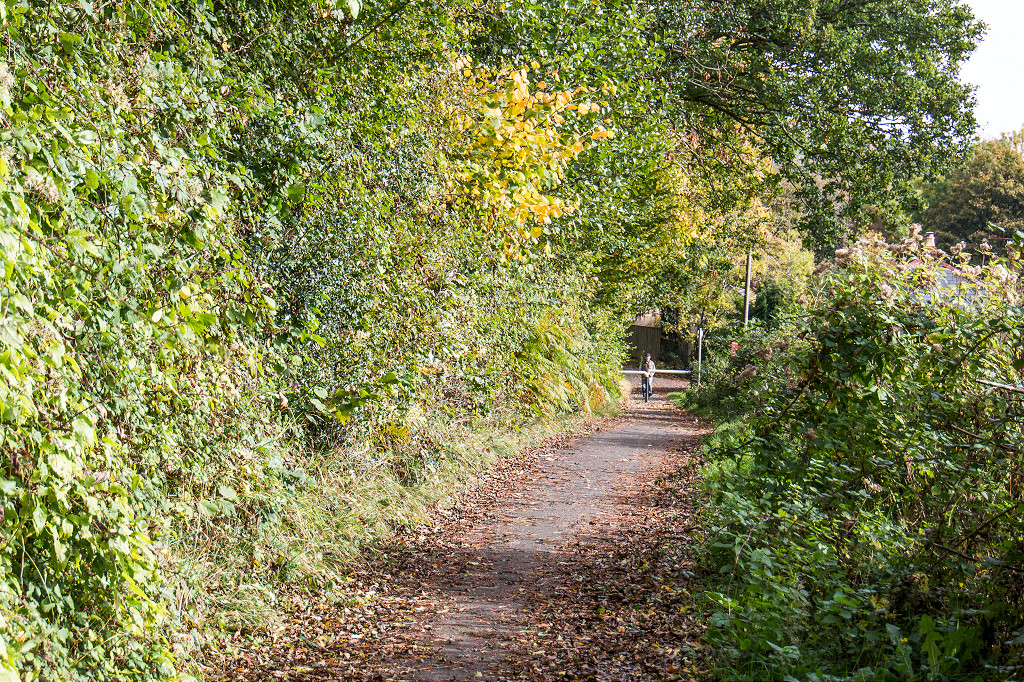 The route looking up |
 The route looking up |
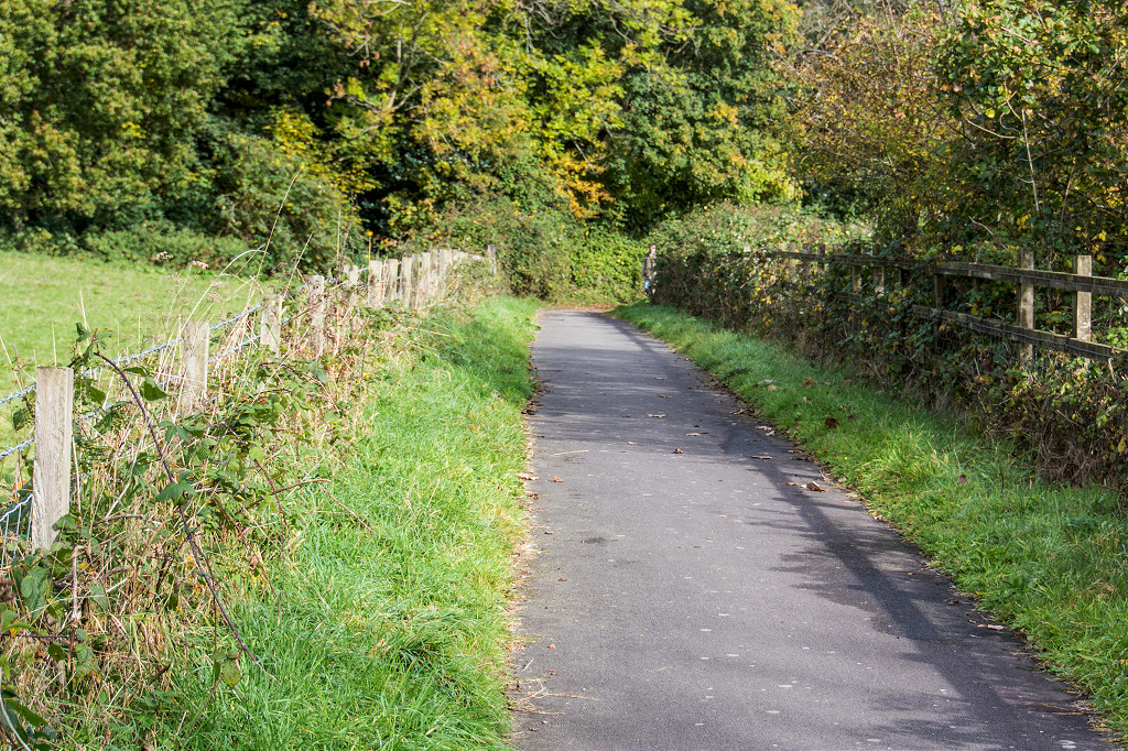
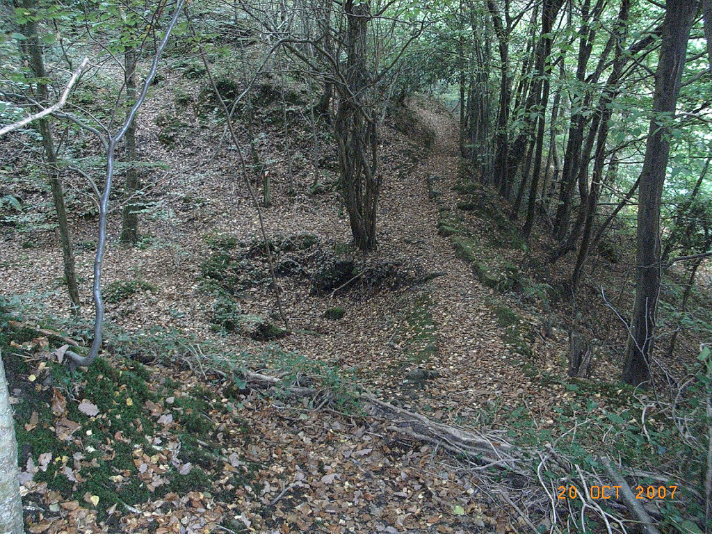
 The route looking down |
 The route looking down |
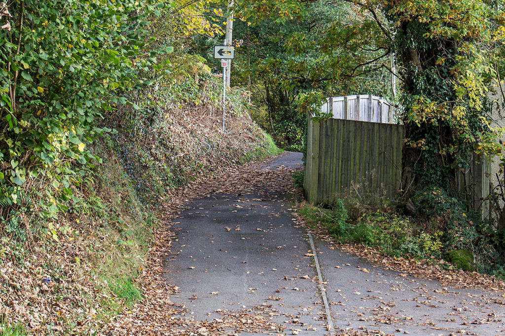
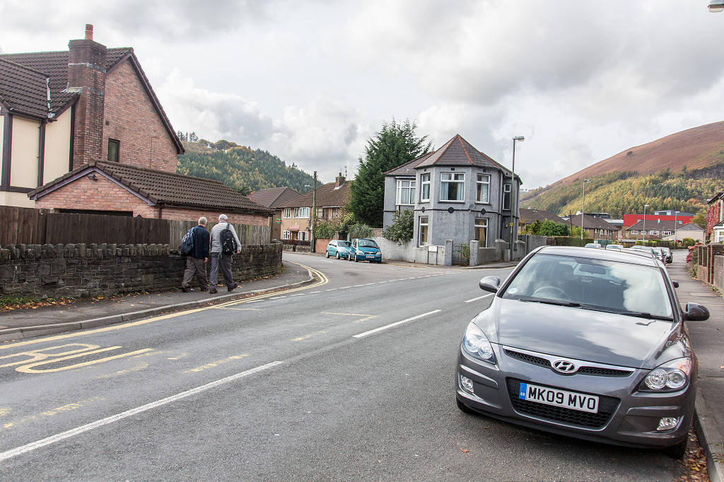 The route road crossing Medart Place |
 The Sirhowy River footbridge |
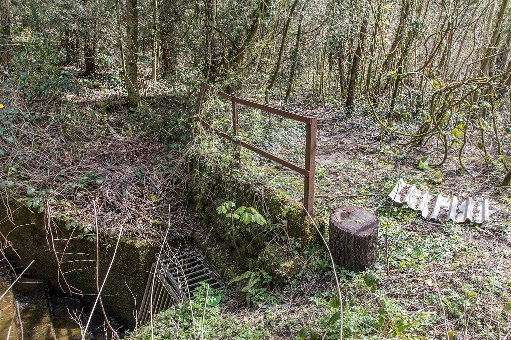
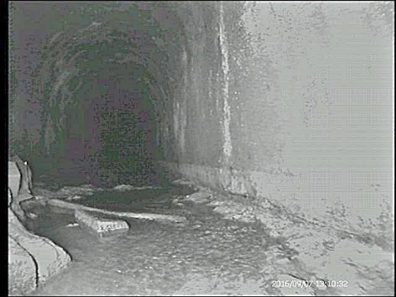
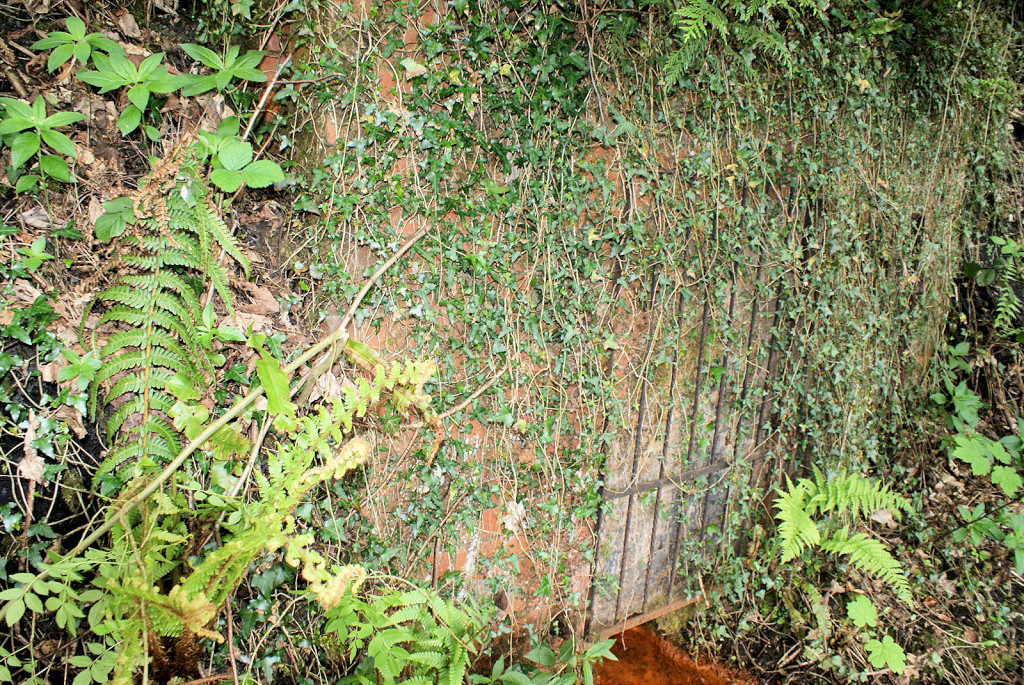 Bensons level drainage adit |
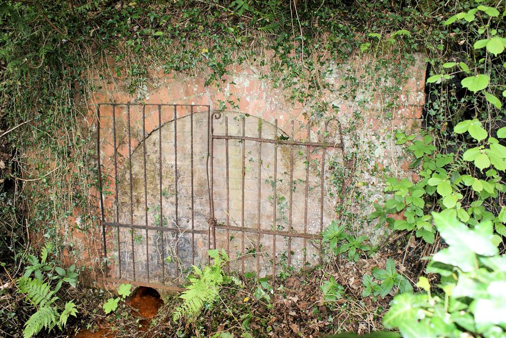 Bensons level drainage adit |
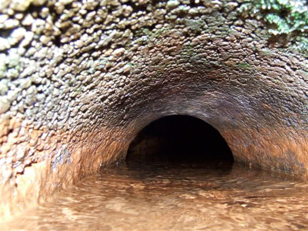 Bensons Level drain pipe !! |
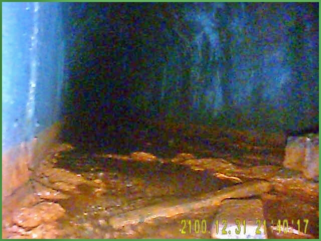 Interior of Bensons Level |
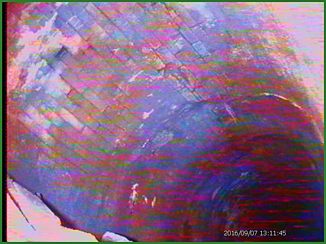 Interior of Bensons Level |
 Interior of Bensons Level |
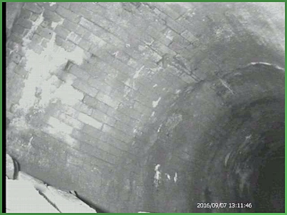 Interior of Bensons Level |
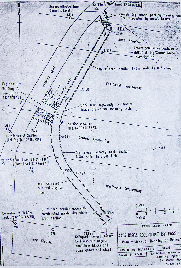 Plan of Bensons Level |
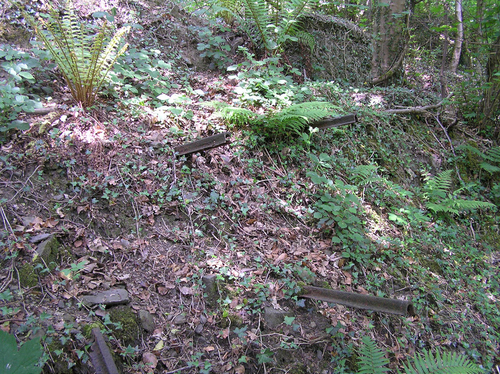
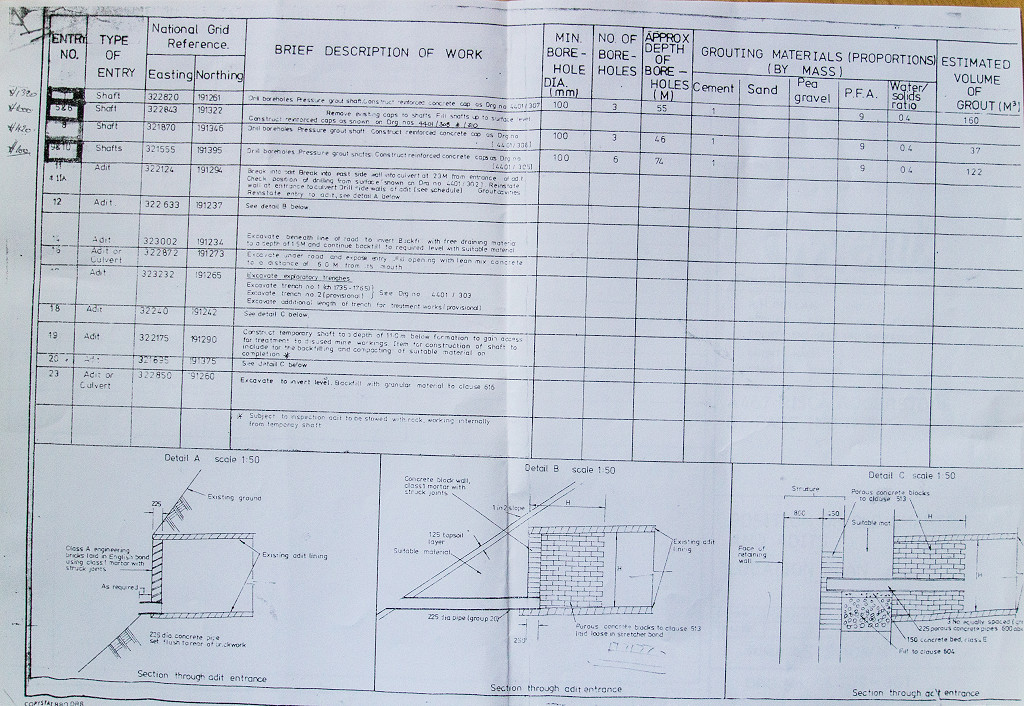 List of levels in the area |
 List of levels in the area |
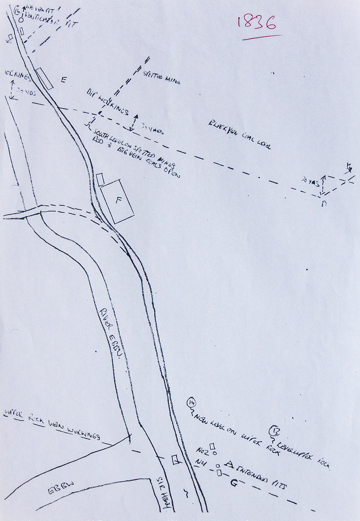 Sketch plan of Bensons Level |
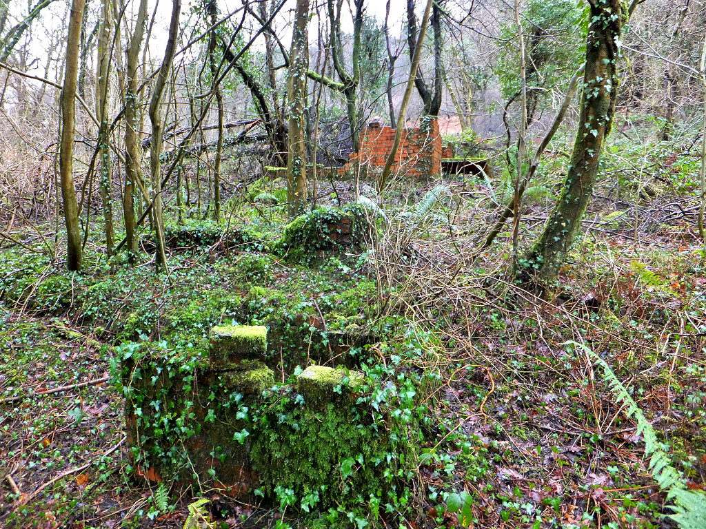
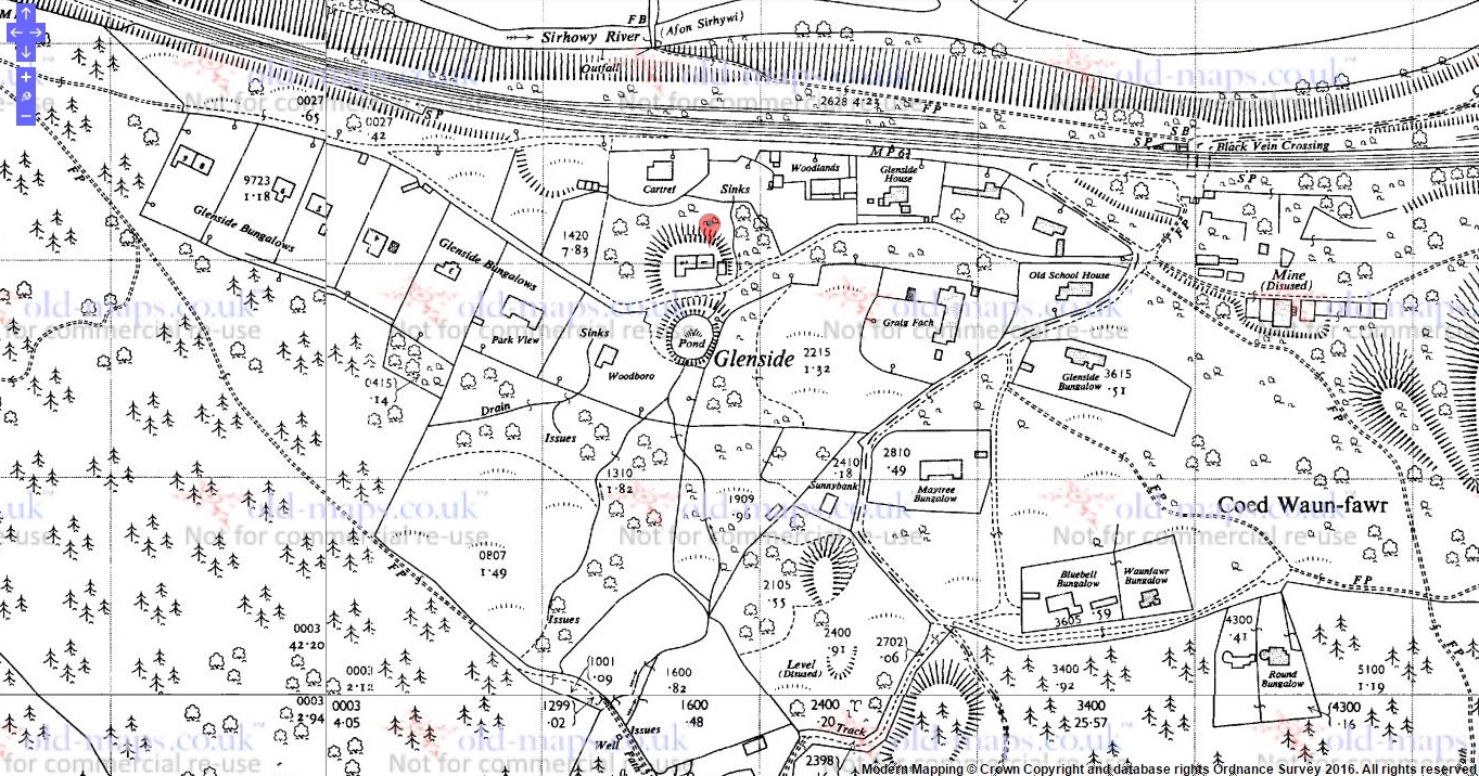
 Glenside Bungalows |
 Glenside Bungalows |
 Glenside Bungalows |
 Glenside Bungalows |
 Glenside Bungalows |
 Glenside Bungalows |
 Glenside Bungalows |
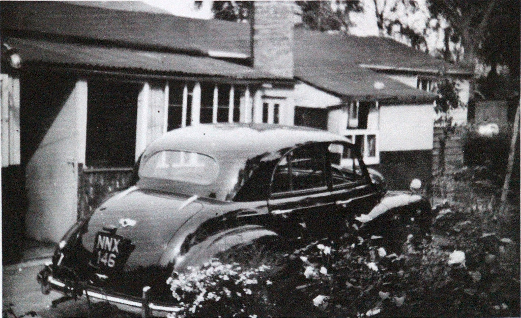
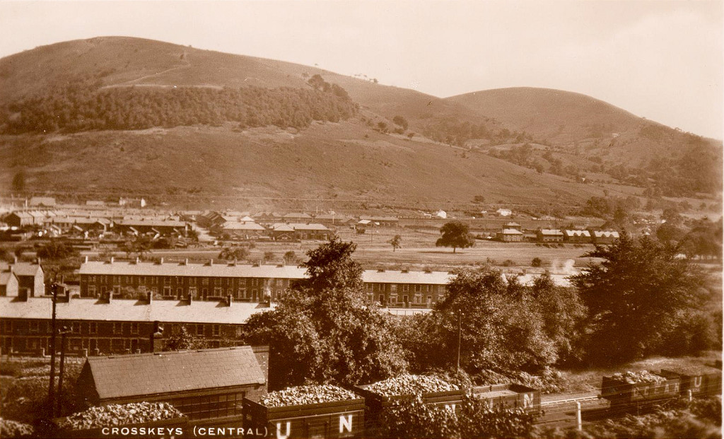
 'Park View', Waun-fawr village |
 Waun-fawr village, 1962 |
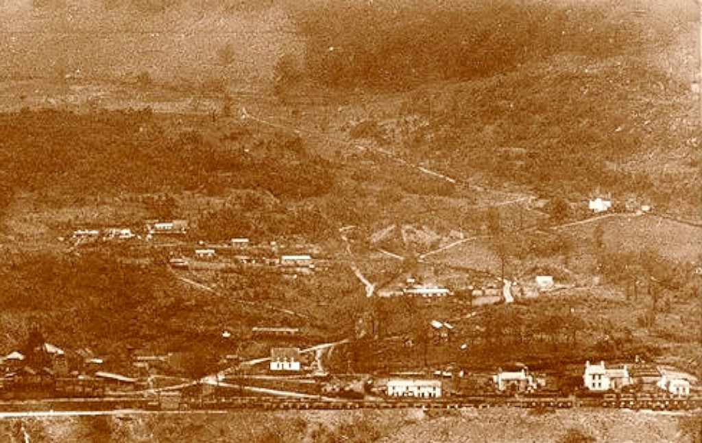 Waun-fawr village c1930s |
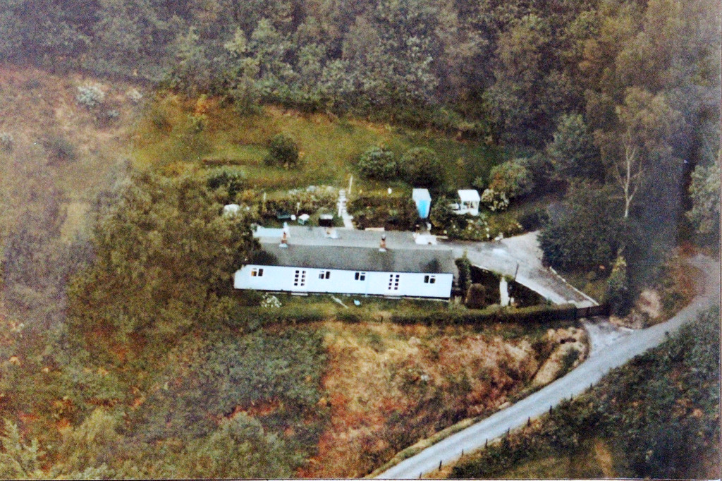 'Glenside' cottages from the air |
 'Glenside' cottages, rear of No 3 |
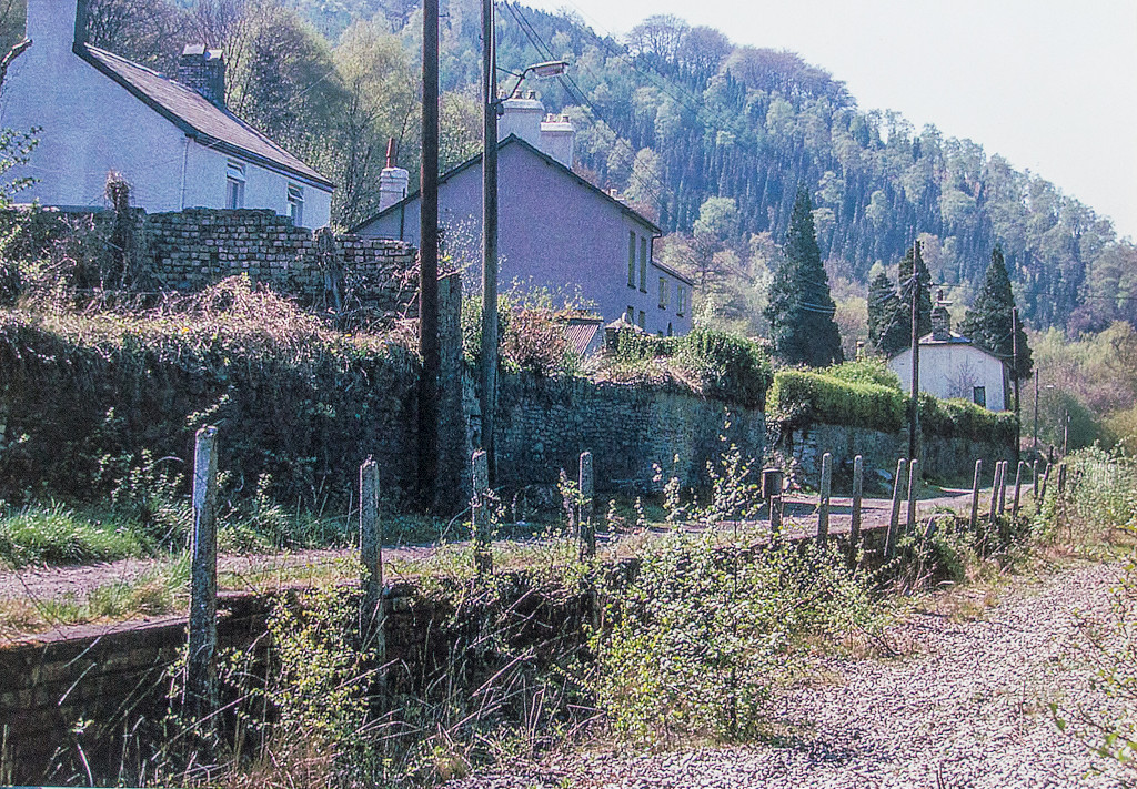 Waun-fawr village |
 'The Woodlands', Waunfawr |
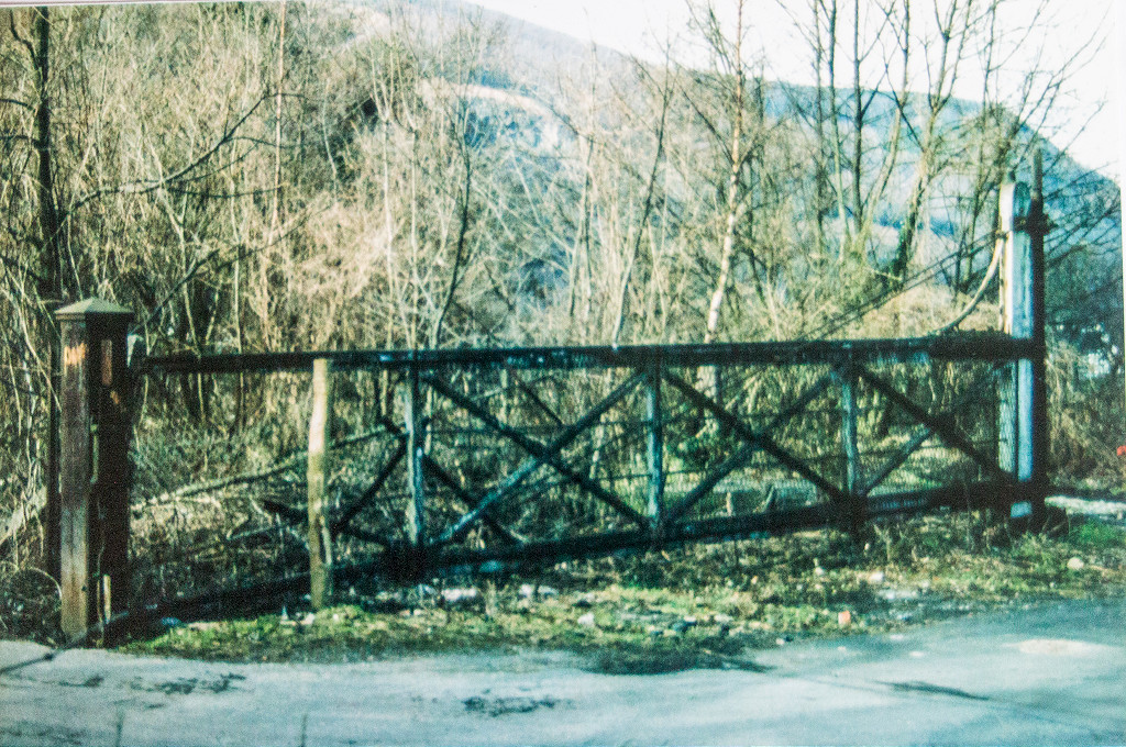 Waun-fawr level crossing |
 Reservoir dam |
 Reservoir valvehouse |
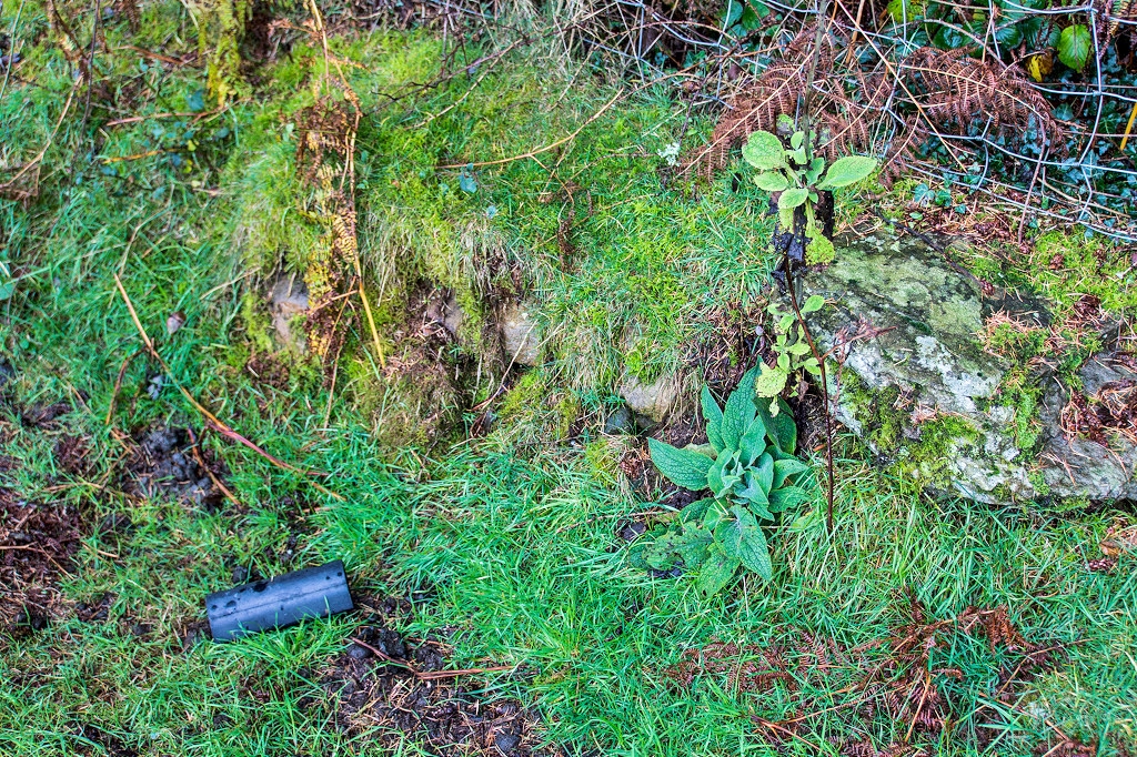
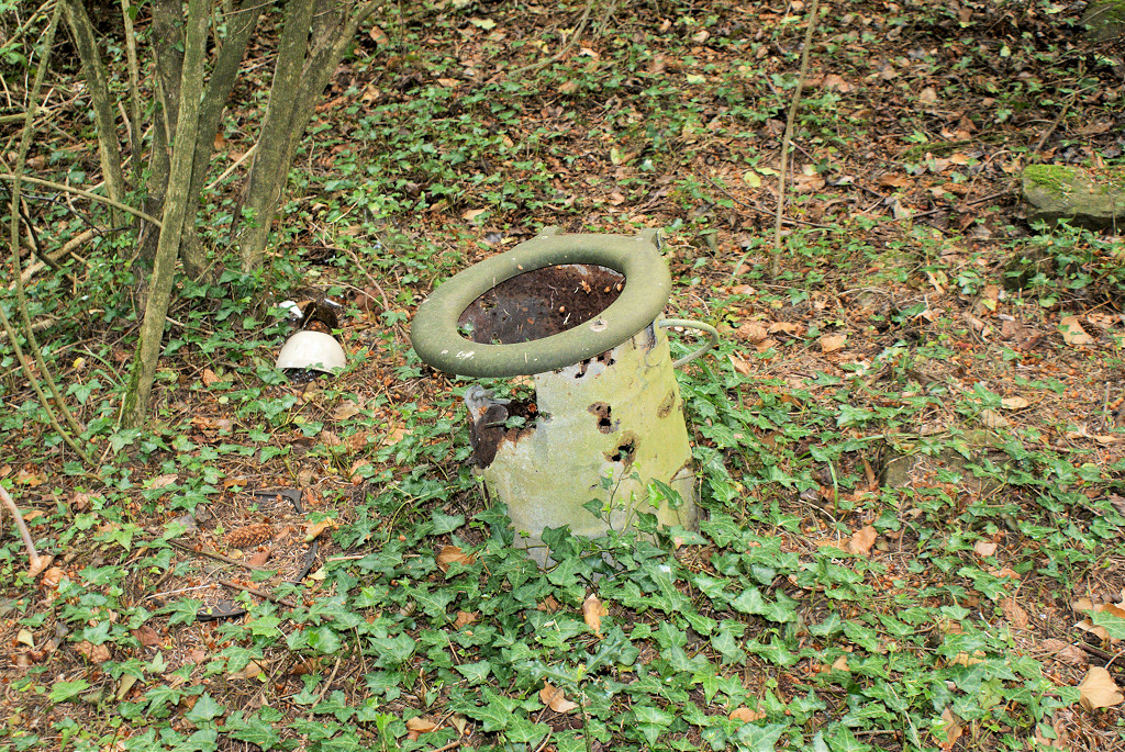
 Lamp or pipe base near 'Glenside' |
 Lamp or pipe base near 'Glenside' |
 Bluebell Bungalow |
 Bluebell Bungalow |
 Bluebell Bungalow |
 Bluebell Bungalow |
 Bluebell Bungalow |
 Bluebell Bungalow |
 Bluebell Bungalow |
 Un-named bungalow |
 Un-named bungalow |
 Un-named bungalow |
 Un-named bungalow |
 Round Bungalow |
 Round Bungalow |
 Round Bungalow |
 Round Bungalow |
 Round Bungalow |
 Round Bungalow |
 Round Bungalow |
 Round Bungalow |
 Crossing-keepers house |
 Platelayers hut |
 Platelayers hut |
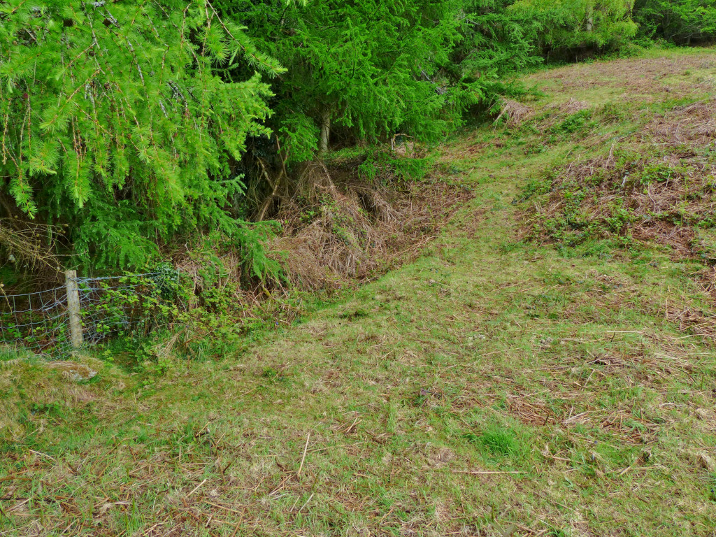
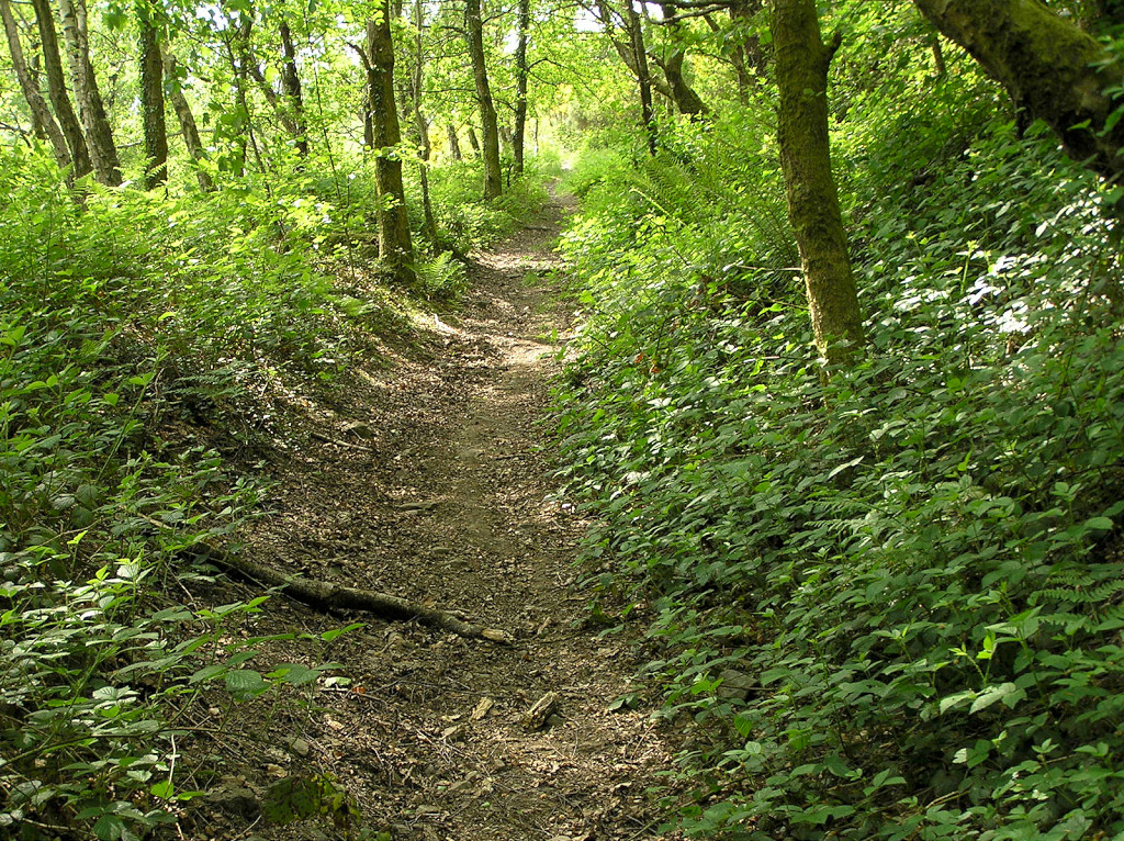
 Sirhowy trackbed looking North |
 Back wall of Full Moon Inn |
 Rail behind Full Moon Inn |
 Full Moon Inn and cottages |
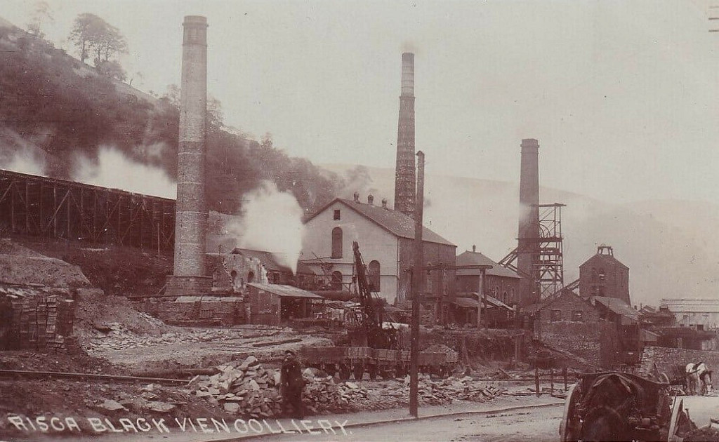
 Rock Vein Colliery in 1880 |
 Rock Vein Colliery being capped |
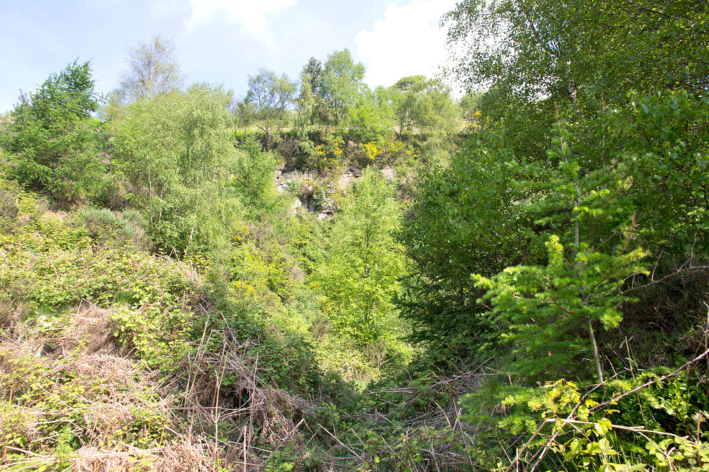
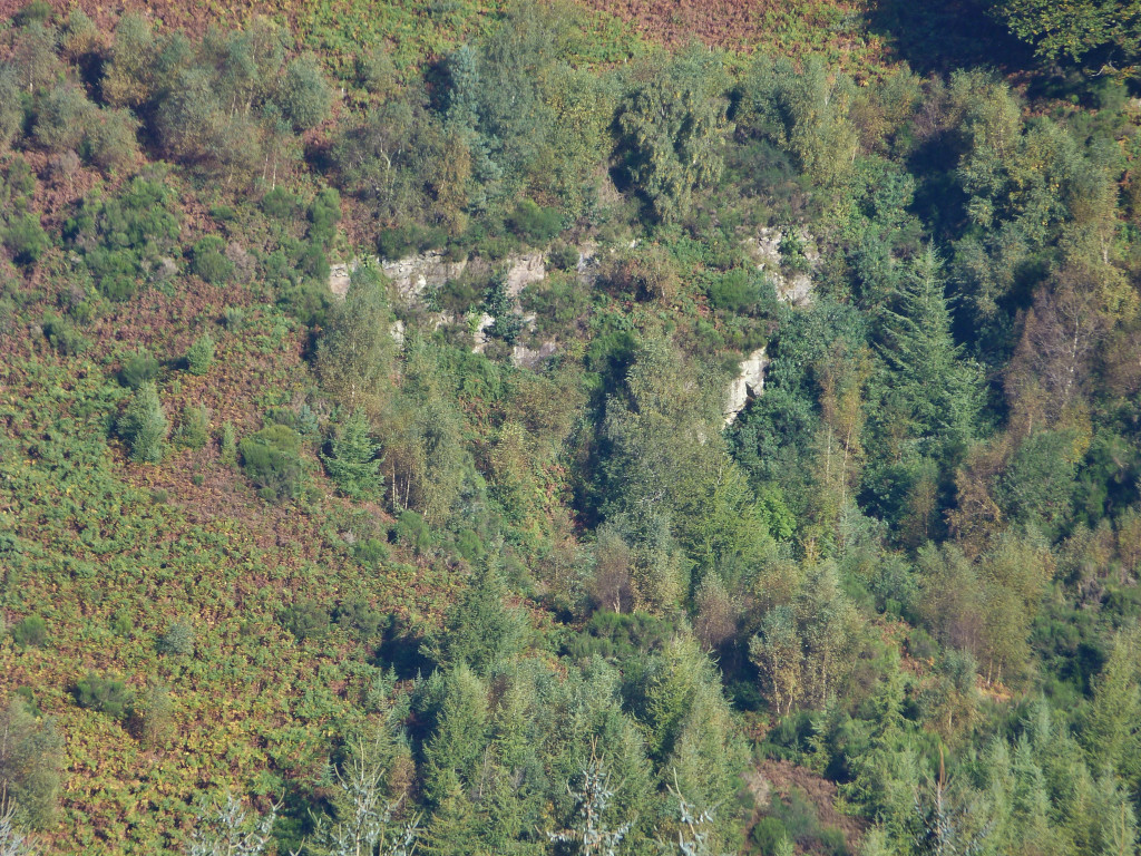
 Rock Vein Colliery Quarry |
 Rock Vein Colliery Quarry |
 Warren Cottages |
 Warren Cottages |
 Warren Cottages |
 Warren Cottages |
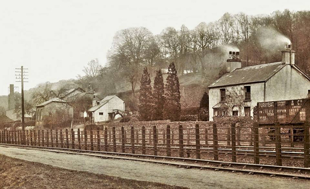
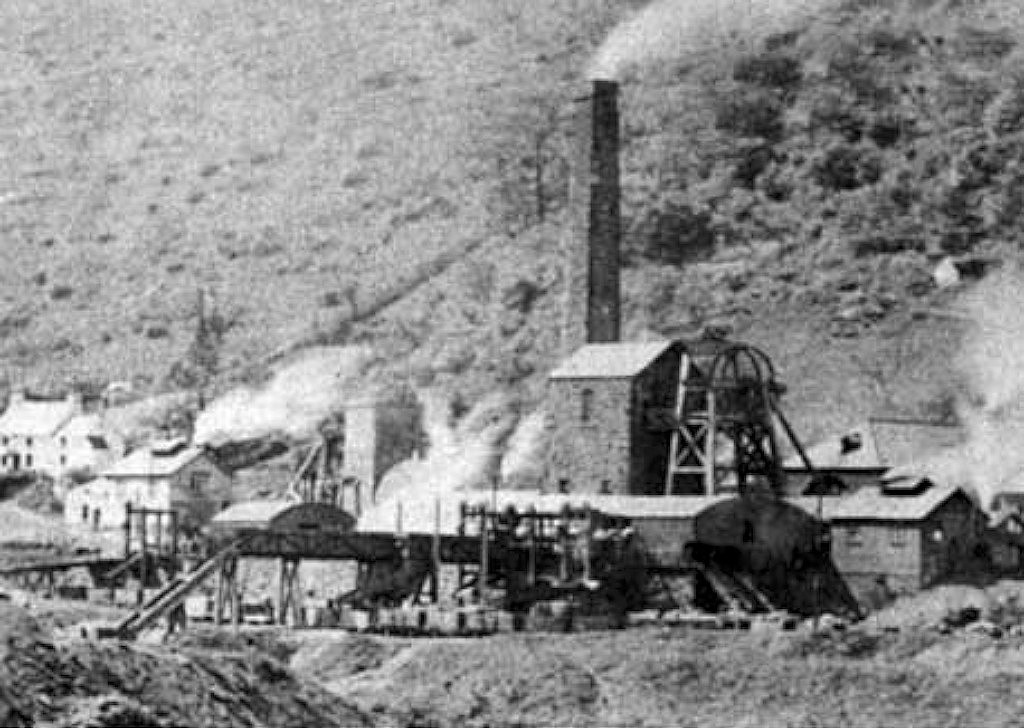
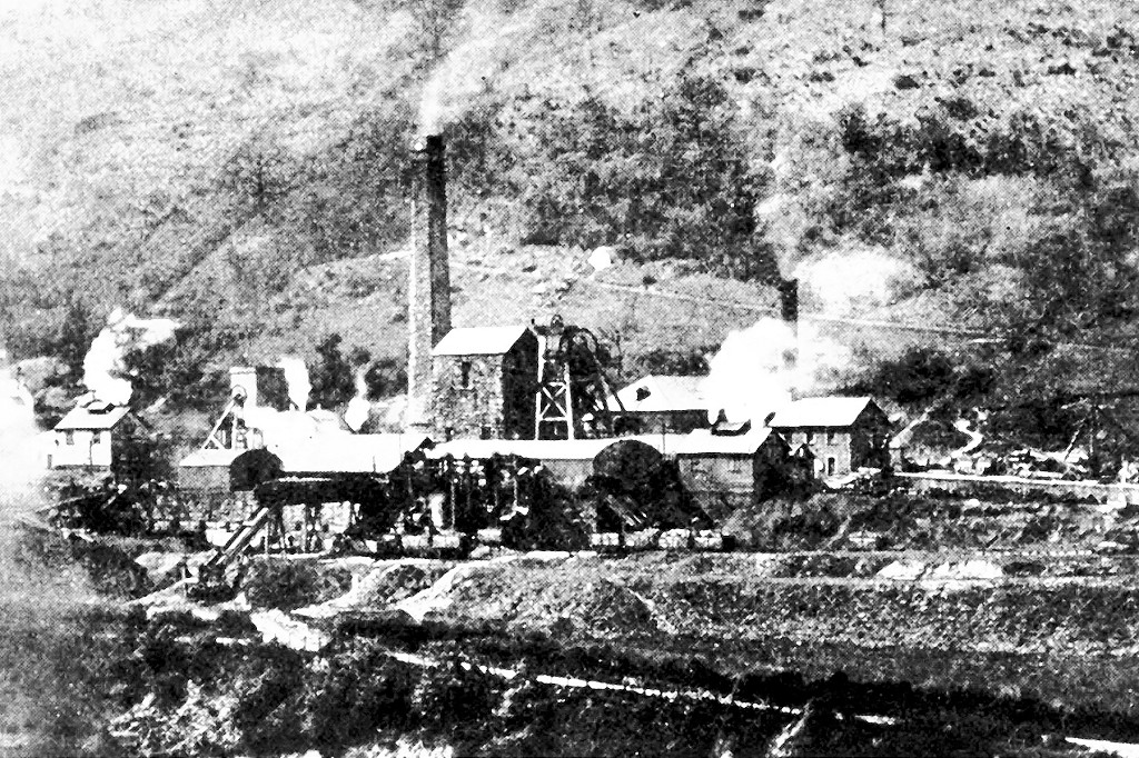
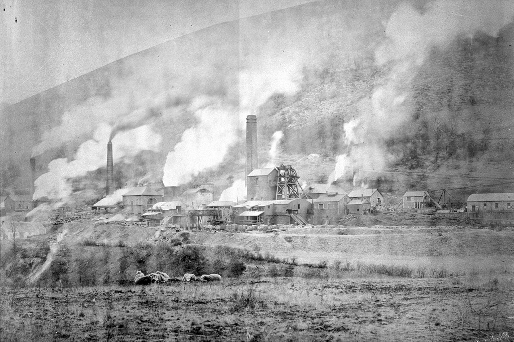
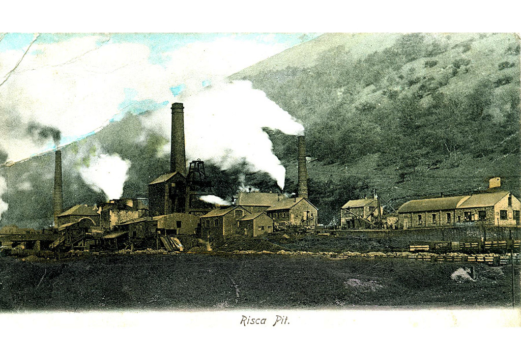
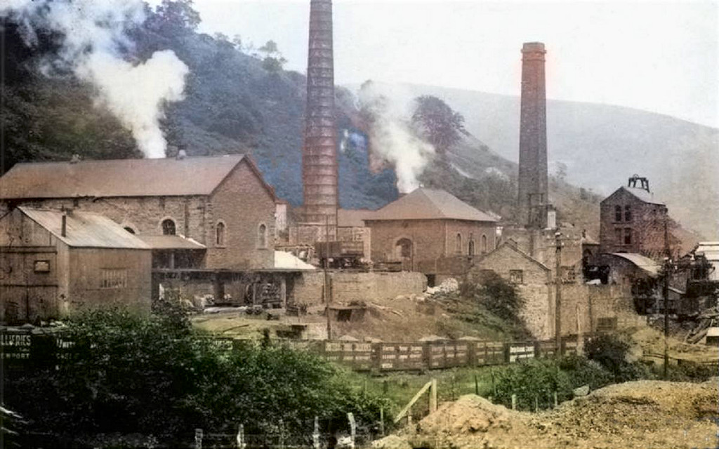
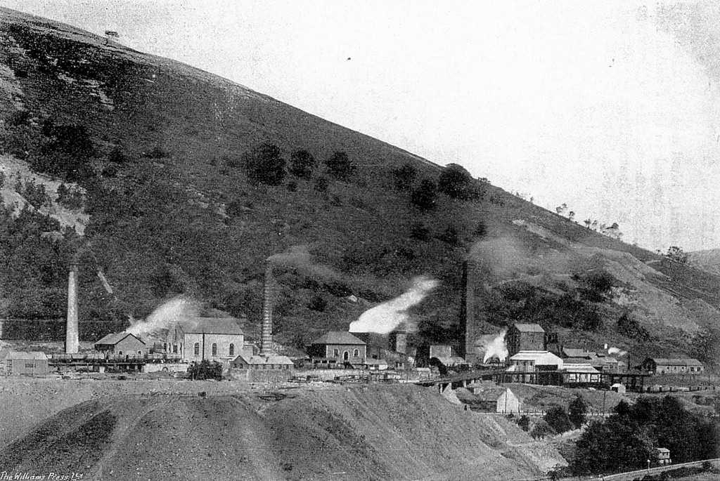
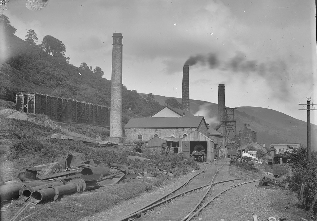
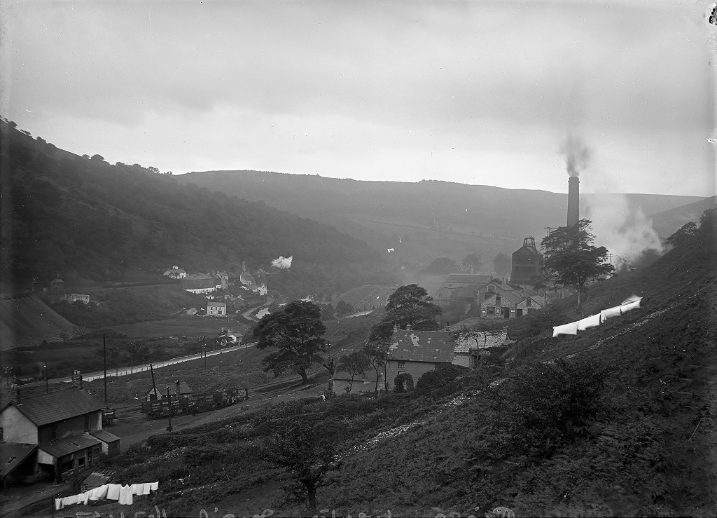
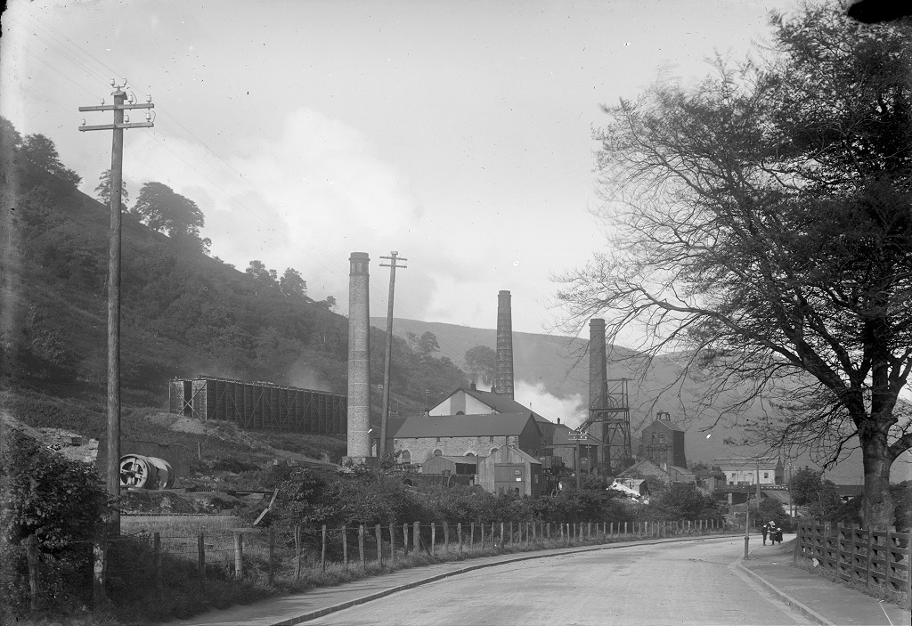
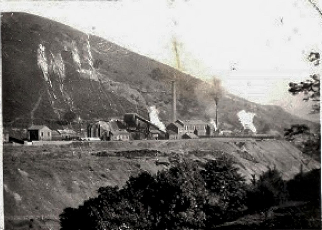
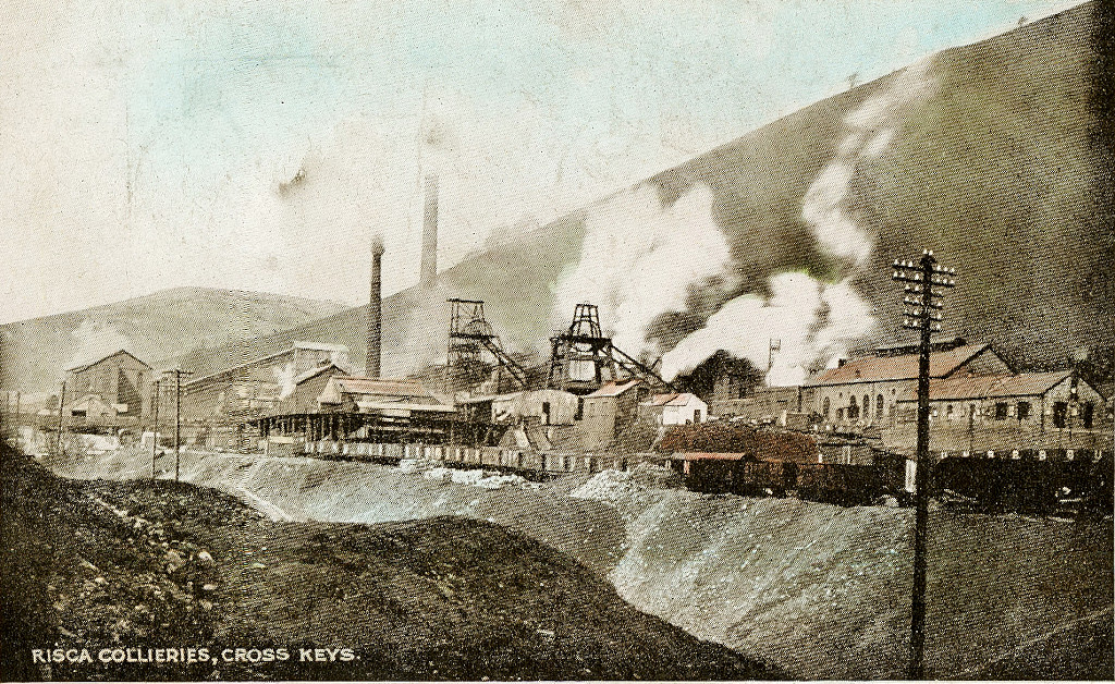
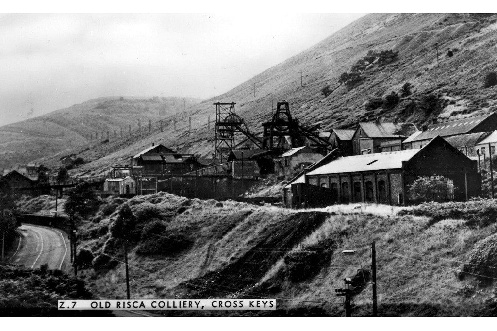
 North Risca Colliery, 1883 |
 North Risca Colliery, 1901 |
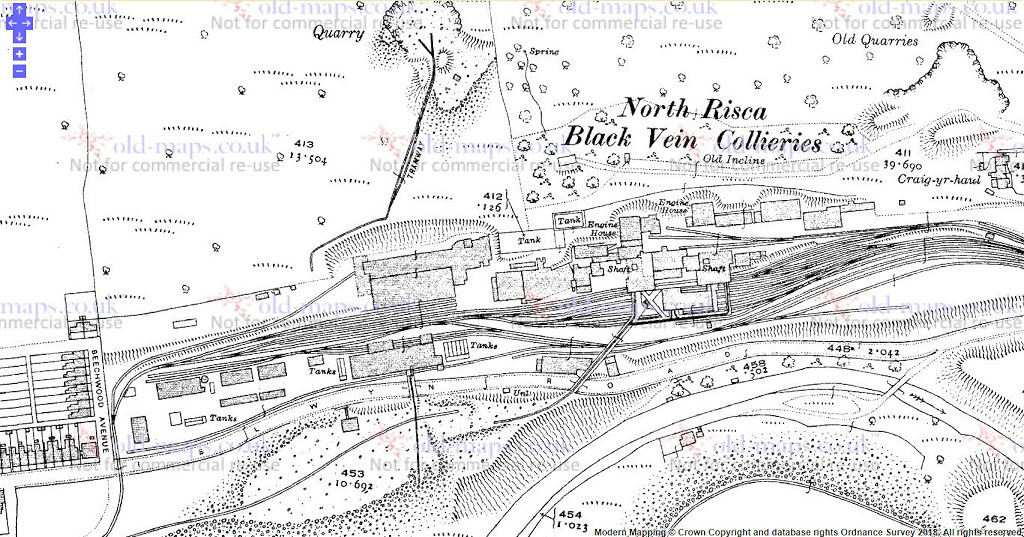 North Risca Colliery, 1920 |
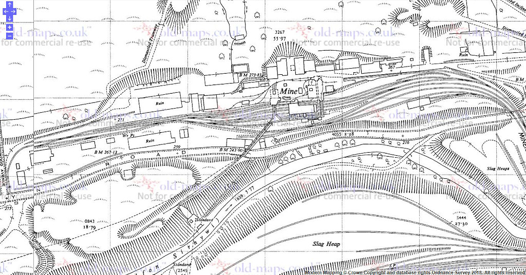 North Risca Colliery, 1965 |
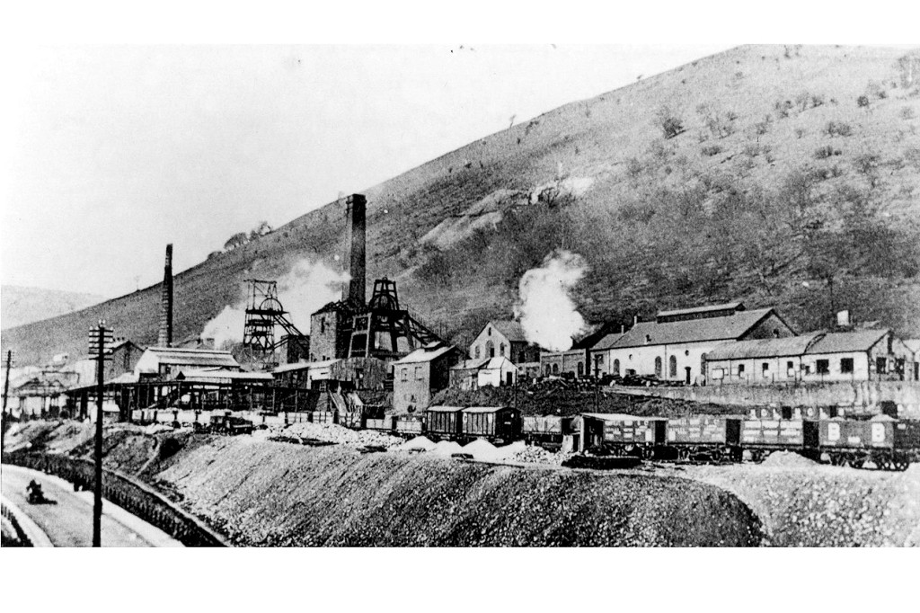
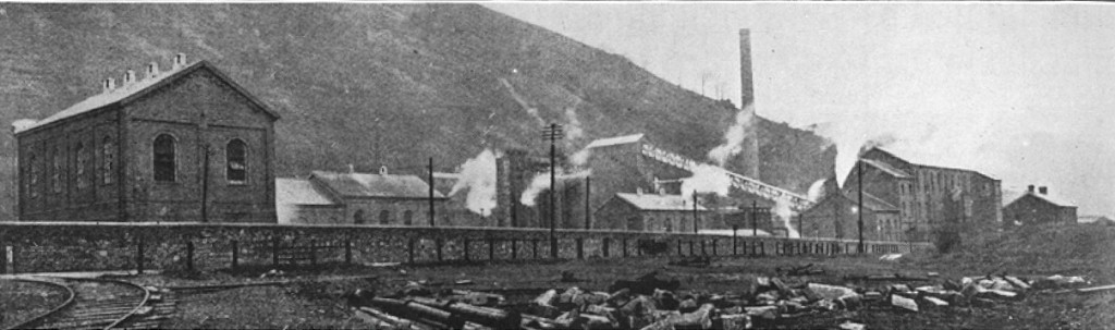
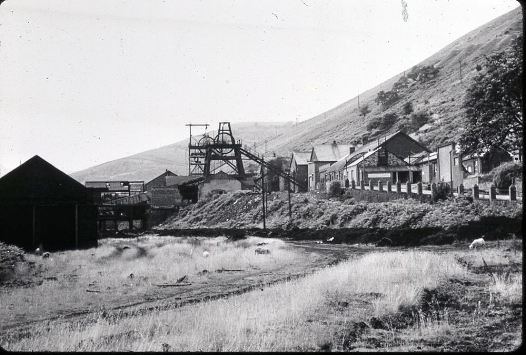
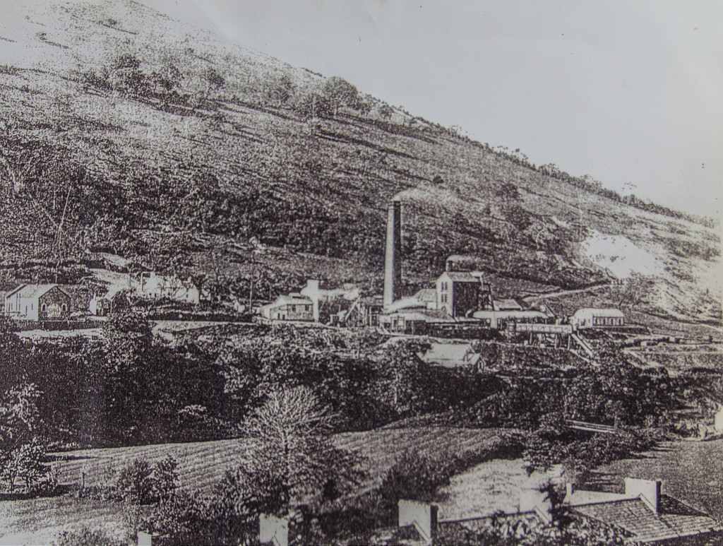 North Risca Colliery, Crosskeys |
 North Risca Colliery, Crosskeys |
 North Risca Colliery, Crosskeys |
 North Risca Colliery, Crosskeys |
 North Risca Colliery, Crosskeys |
 North Risca Colliery, Crosskeys |
 North Risca Colliery, Crosskeys |
 North Risca Colliery, Crosskeys |
 North Risca Colliery, Crosskeys |
 North Risca Colliery, Crosskeys, 1908 |
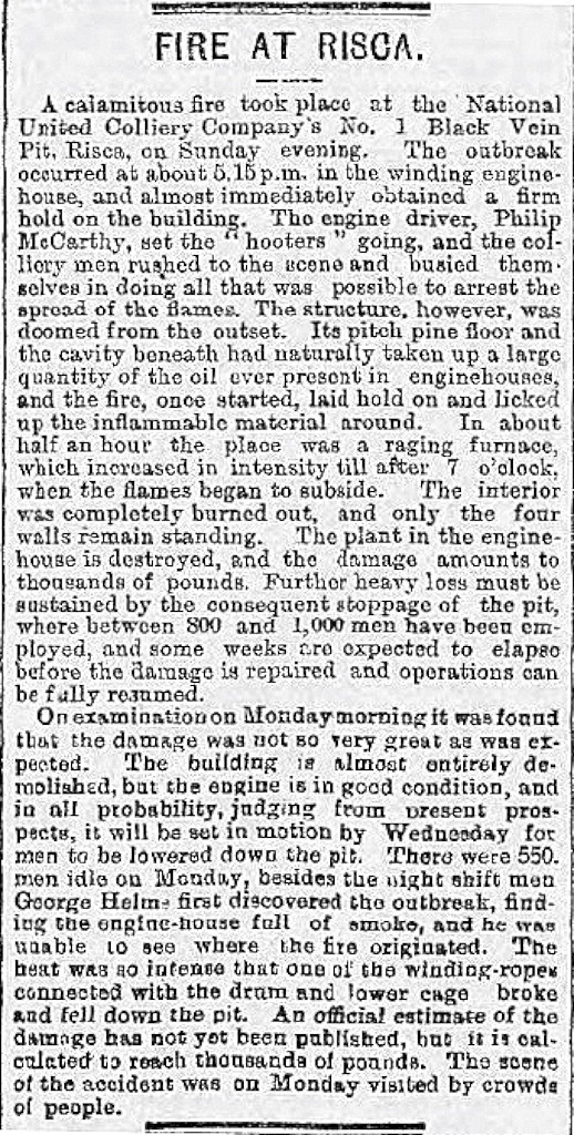 Colliery fire, 23 February 1901 |
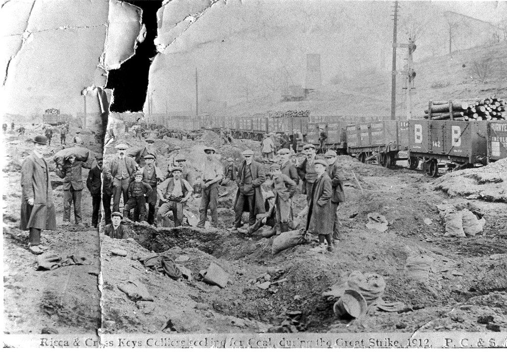 National Coal Strike, 1912 |
|
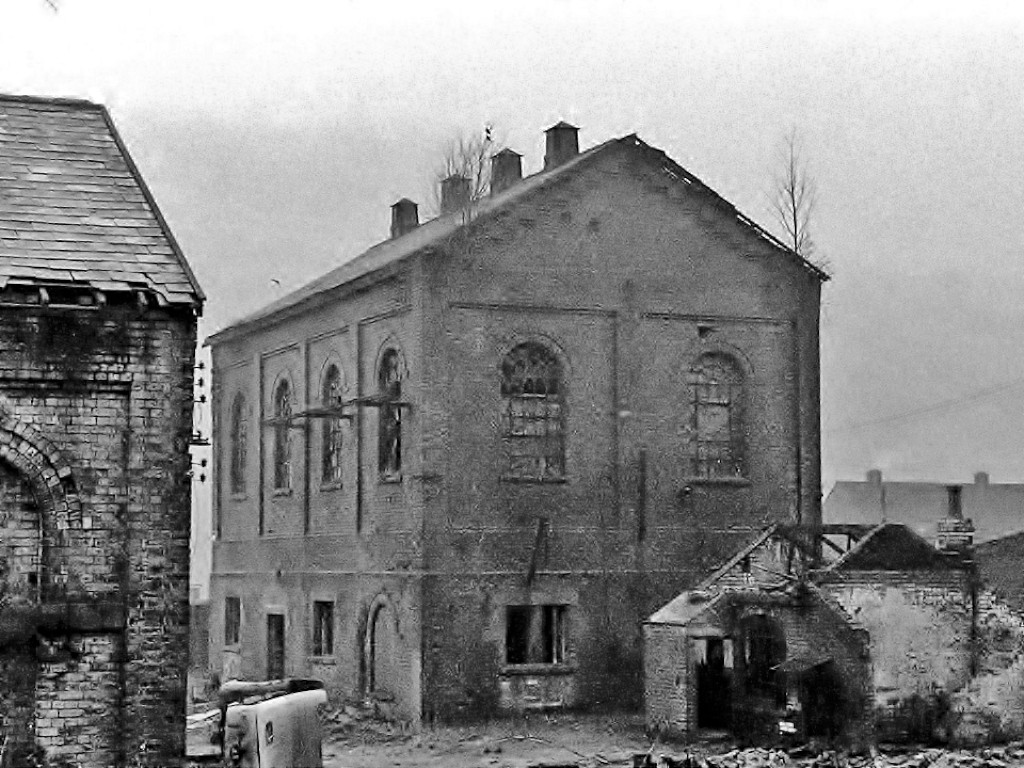
The Cornish beam engine house is still complete. |
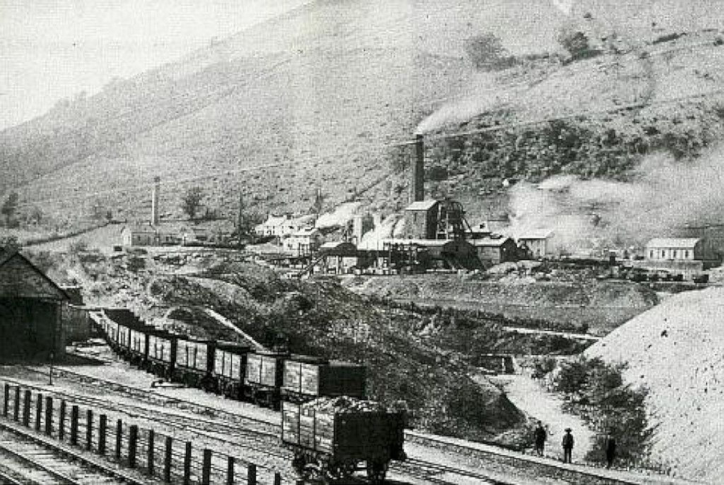
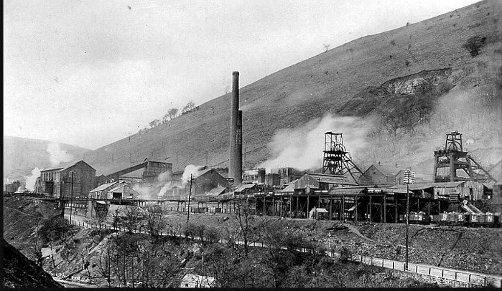
 North Risca Colliery, Crosskeys |
 North Risca Colliery, Crosskeys |
 North Risca Colliery, Crosskeys |
 North Risca Colliery, Crosskeys |
 North Risca Colliery, Crosskeys |
 North Risca Colliery benzole house |
|
|
The roof of the Cornish engine house has gone In the first two photos and in the third, it is being demolished |
 North Risca Colliery, Crosskeys |
 North Risca Colliery, Crosskeys |
 North Risca Colliery, Crosskeys |
 North Risca Colliery, Crosskeys |
 North Risca Colliery, Crosskeys |
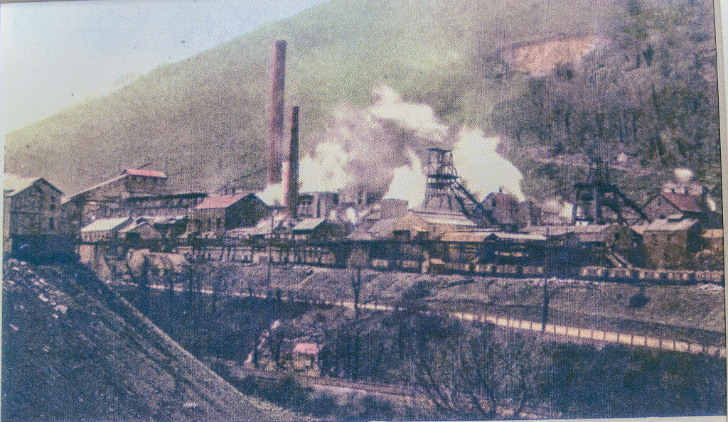 North Risca Colliery, Crosskeys |
 North Risca Colliery, Crosskeys |
 North Risca Colliery, Crosskeys |
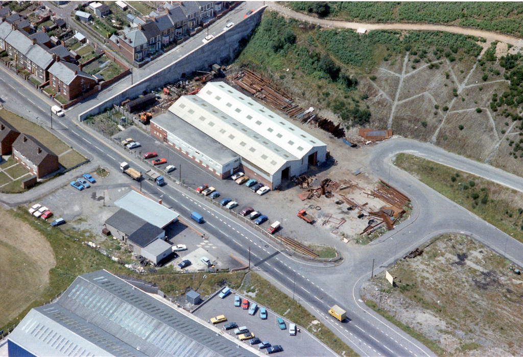
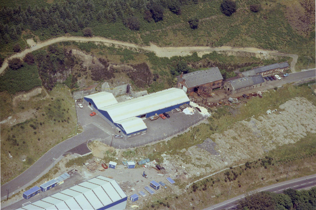
 Colliery By-products works |
 Colliery By-products works |
 North Risca Colliery weighbridge |
 North Risca Colliery, Crosskeys |
 North Risca Colliery, Crosskeys |
 North Risca Colliery, Crosskeys |
 North Risca Colliery, Crosskeys |
 North Risca Colliery, Crosskeys |
 North Risca Colliery, Crosskeys |
 North Risca Colliery, Crosskeys |
 North Risca Colliery, Crosskeys |
 North Risca Colliery, Crosskeys |
 North Risca Colliery, Crosskeys |
 North Risca Colliery, Crosskeys |
 North Risca Colliery, Crosskeys |
 North Risca Colliery, Crosskeys |
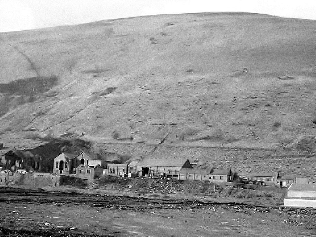
 North Risca Colliery buildings |
 North Risca Colliery buildings |
 North Risca Colliery buildings |
 North Risca Colliery buildings |
 North Risca Colliery buildings |
 North Risca Colliery buildings |
 North Risca Colliery back wall |
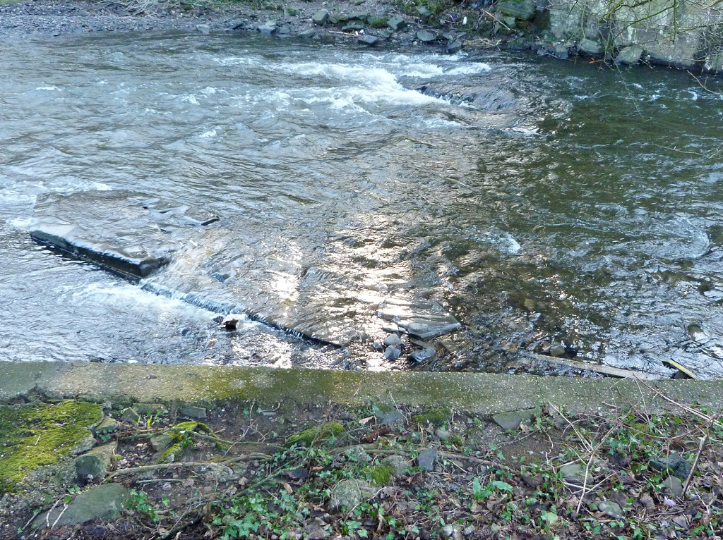
 Riverside pumphouse foundations |
 Riverside pumphouse foundations |
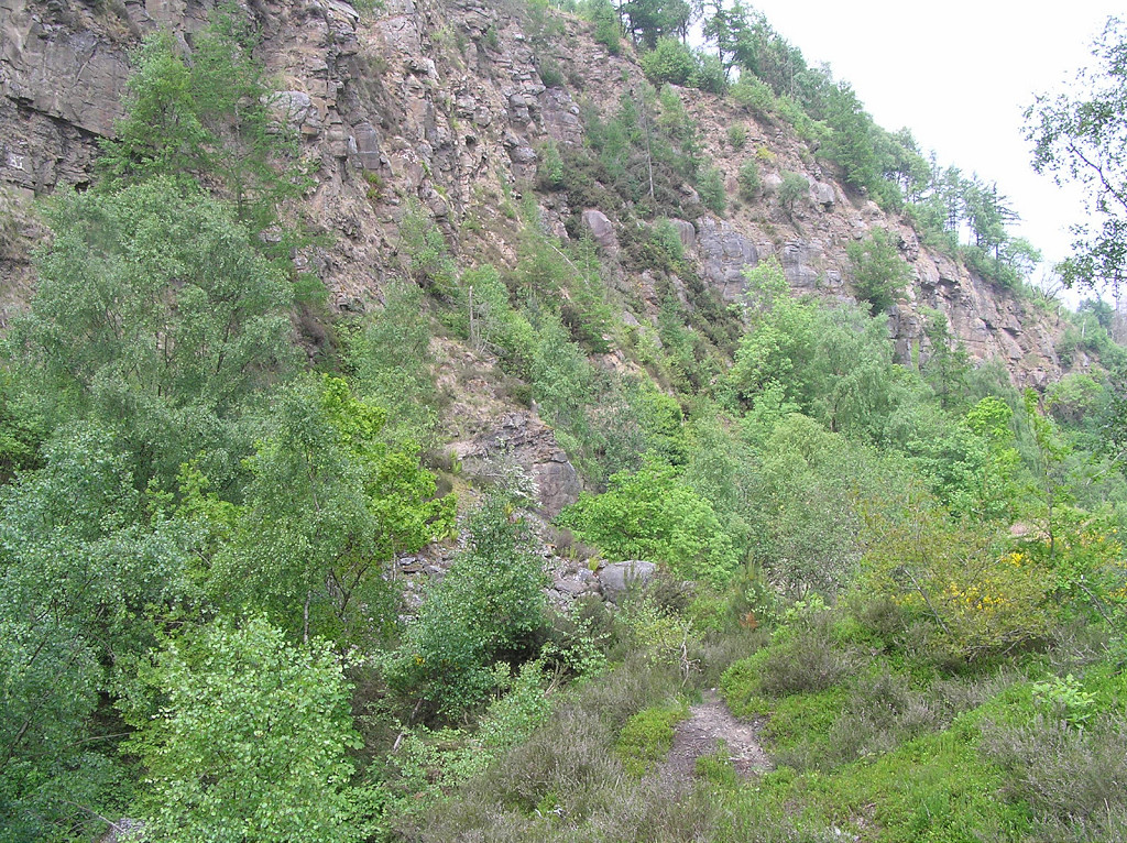
 North Risca Colliery Quarry |
 North Risca Colliery Quarry |
 North Risca Colliery Quarry |
 Telephone pole below the quarry |
 North Risca Colliery river bridge |
 North Risca Colliery river bridge |
 North Risca Colliery river bridge |
 North Risca Colliery ropeway cable |
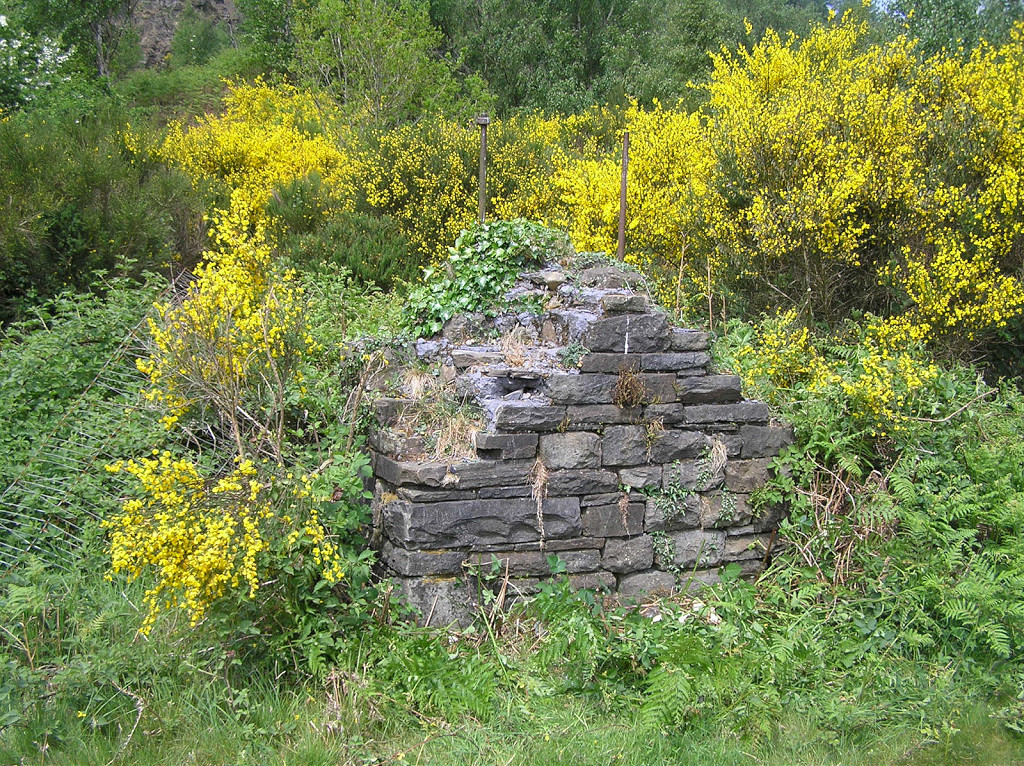
 Colliery ropeway tower base |
 Aerial ropeway pylon at Full Moon |
 Aerial ropeway cables |
 Aerial ropeway pylon |
 Aerial ropeway pylon |
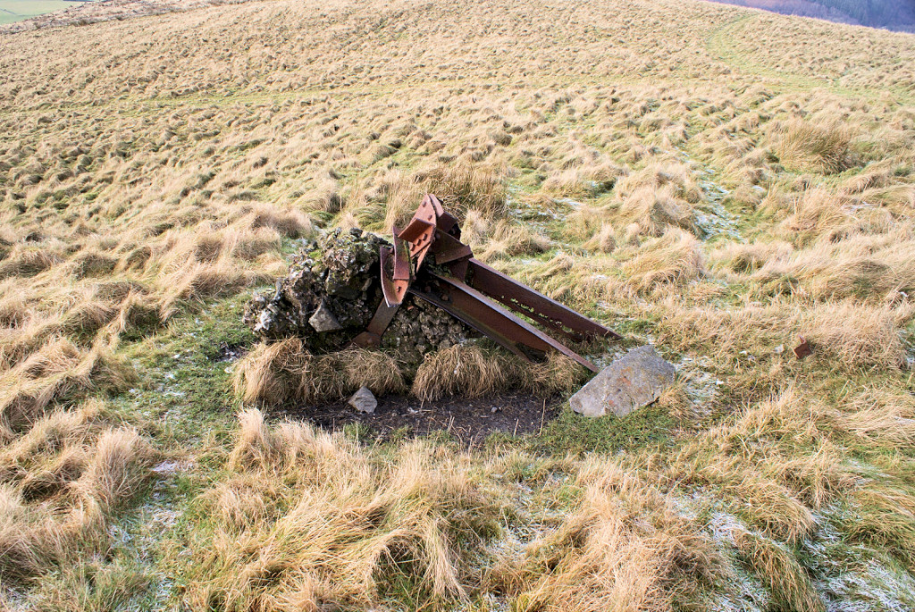 Aerial ropeway pylon |
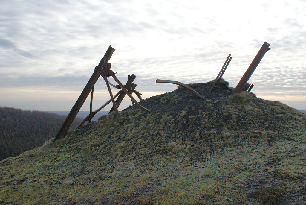 Aerial ropeway pylon |
 Aerial ropeway pylon |
 Aerial ropeway pylon |
 Aerial ropeway pylon |
 Aerial ropeway pylon |
 Aerial ropeway pylon |
 Aerial ropeway bucket release |
 Aerial ropeway bucket release |
|
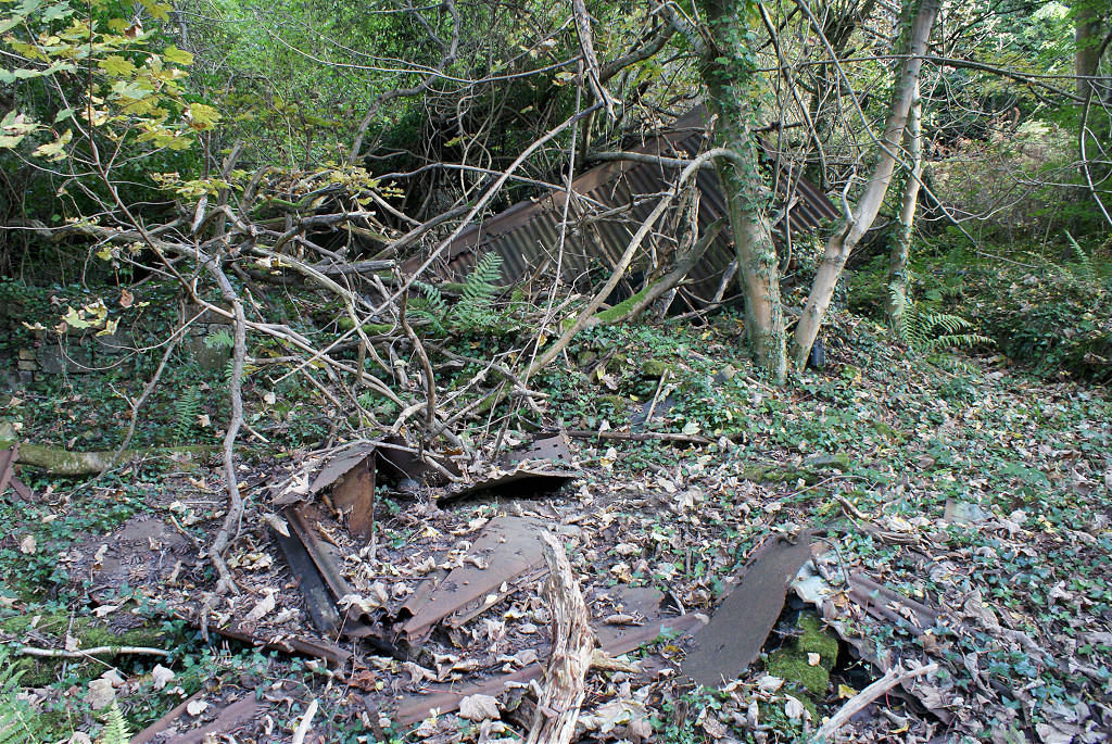
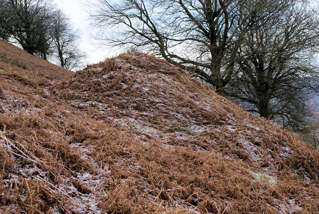
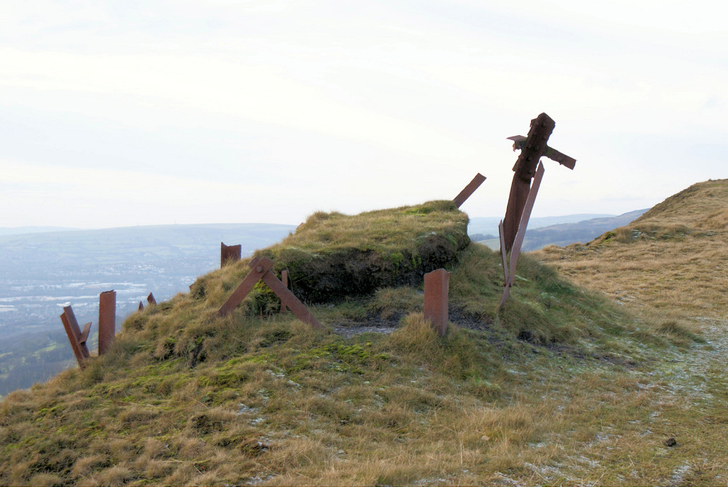
 North Risca Colliery tip |
 North Risca Colliery tip |
 North Risca Colliery tip |
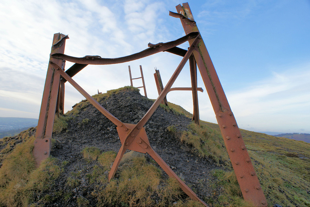
 Iron frame beside colliery tip |
 Colliery tip ropeway cables |
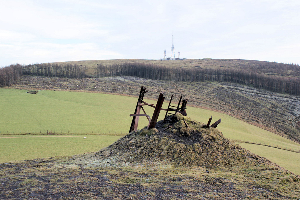
 Colliery tip from Sirhowy Valley |
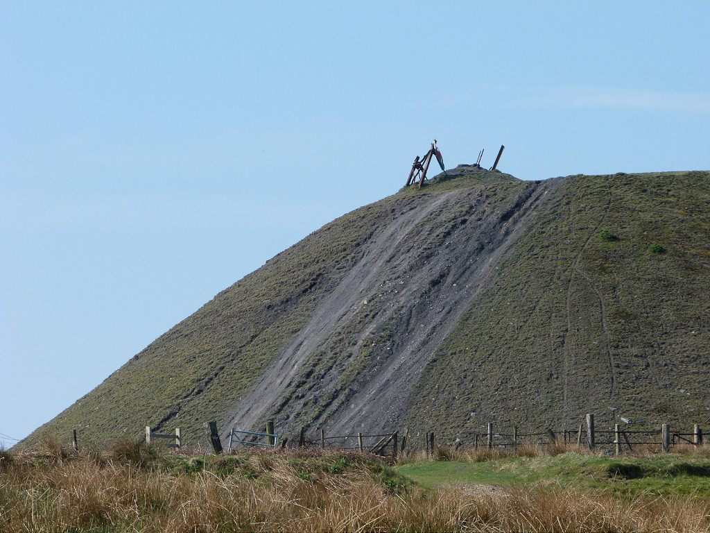
 Colliery tip from Machen |
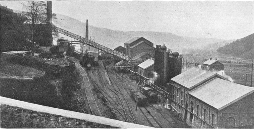
 Cox's Quarry loading bank, 1901 |
 Cox's Quarry loading bank, 1920 |
 Cox's Quarry North, 1901 |
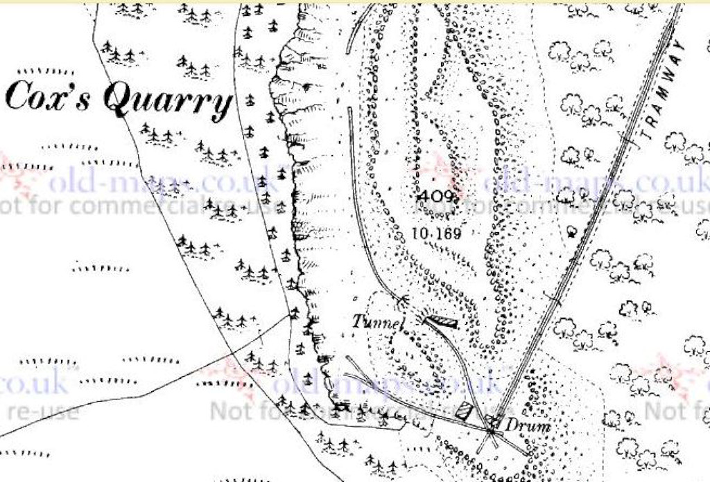 Cox's Quarry South, 1901 |
 Loading bank sidings looking South |
 Loading bank sidings looking South |
 Loading bank sidings looking East |
 Loading bank sidings looking North |
 Loading bank, South incline foot |
 Loading bank stonework |
 Loading bank stonework |
 Loading bank stonework |
 Loading bank ironmongery |
 Loading bank ironmongery |
 Loading bank ironmongery |
 Loading bank ironmongery |
 Incline to foot of main inclines |
 Foot of both quarry inclines |
 Foundations at foot of inclines |
 Foundations at foot of inclines |
 Foundations at foot of inclines |
 Foundations at foot of inclines |
 Foundations at foot of inclines |
|
 Foot of North incline |
 Foot of North incline |
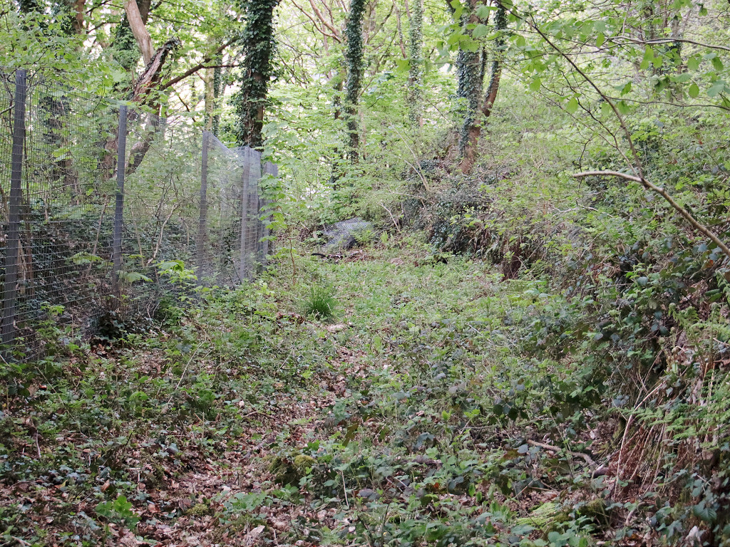
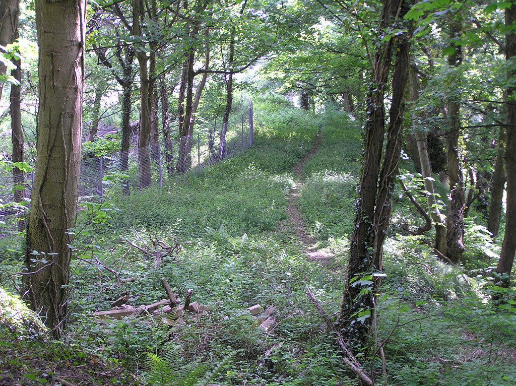
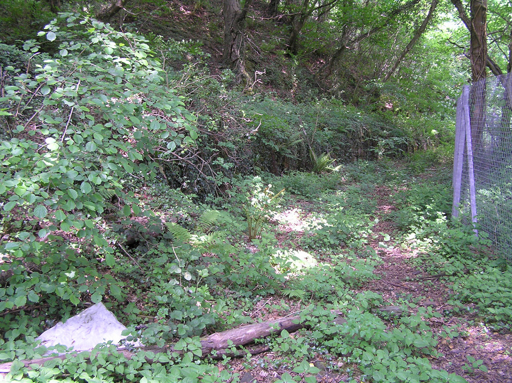
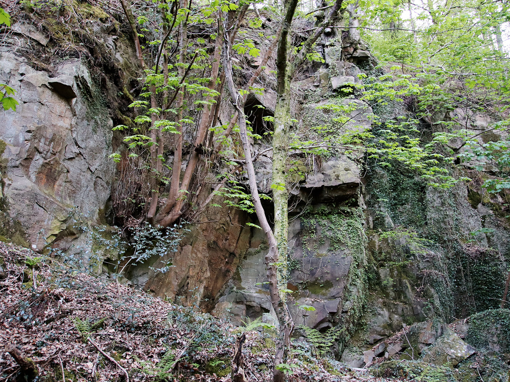 Cox's Quarry original workings |
 Cox's Quarry original workings |
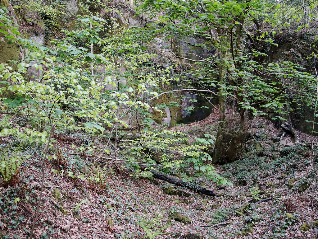
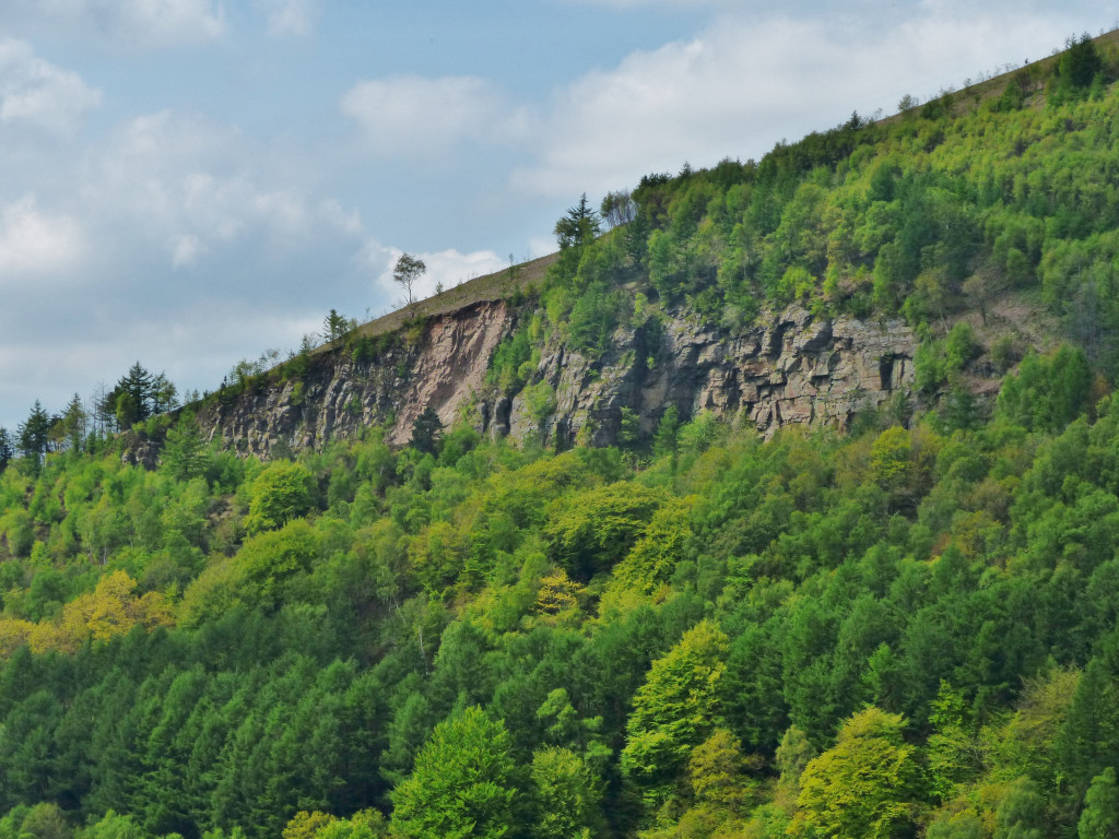 Cox's Quarry from Crosskeys |
 Inside Cox's Quarry |
 North incline top |
 South incline |
 South incline brakehouse front |
 South incline brakehouse rear |
 South incline top from brakehouse |
 South incline top from brakehouse |
Industrial WalesCollieries, Ironworks, Quarries, Railways, Canals, Tramroads, Tunnels, Culverts and so much more....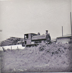
|
Brickworks of WalesBricks are 'History with a label' so here's the story of the Brickworks of Wales - photos, maps and the products themselves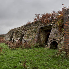
|
Around the WorldMy travels around the UK and the Whole Wide World in search of industries, railways, trams and mines to name a few.
|
Boundary Stones and MilepostsBoundary Stones, Mileposts and other markers in simple alphabetical order of their initials, name or site.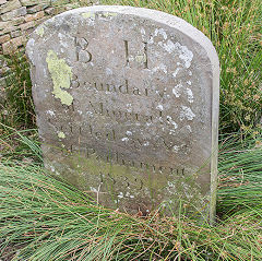
|
Ships and ShippingShips around the World in simple alphabetical order of their name (or apparent area if I can't read the name).
|
The Site Map and IndexA full list of all the pages of the whole website in just one place, so you should find exactly what you are looking for.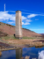
|
About the SiteThe background and technical details about the site, plus a contact page and links to other sites - and a warning !!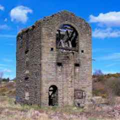
|
Contact MeSomething to add? A great photo? Something wrong? or need to know more about things? Just drop me a line here.
|
Further ReadingYou can find lots of local and other very helpful websites, books, magazines and Facebook groups all listed here.
|