The Industrial Archaeology and History of the Western Valley
Or click on the button to go to :-
Click on the thumbnail to enlarge a photo or map and sometimes read more about it.
Then click 'Full Size' on the toolbar to see it in all its glory.
Swffryd
From Hafodyrynys to Crumlin Viaduct along the TVER
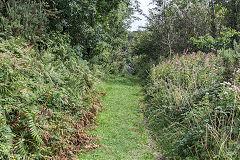
Hafodyrynys Road bridge
|
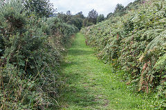
Heading towards Crumlin Viaduct
|
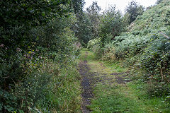
Heading towards Crumlin Viaduct
|
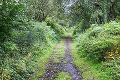
Heading towards Crumlin Viaduct
|
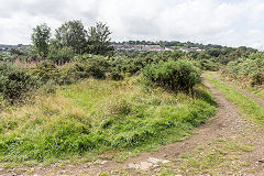
Heading towards Crumlin Viaduct
|
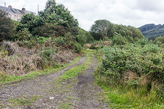
Heading towards Hafodyrynys
|
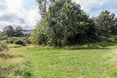
Crumlin Junction, Swffryd
|
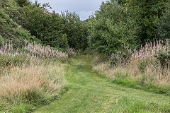
Crumlin Junction
|
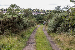
Crumlin Viaduct approach, Swffryd
|
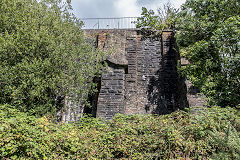
Crumlin Viaduct abutment, Swffryd
|
|
|
From Crumlin Junction to Royal Oak
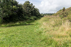
The line to Royal Oak Junction
|
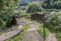
TVER Extension footbridge
|
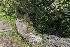
TVER Extension footbridge
|
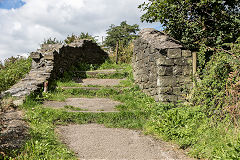
TVER Extension footbridge
|
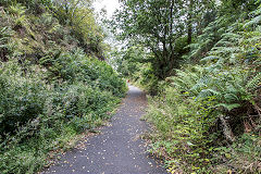
The line to Royal Oak Junction
|
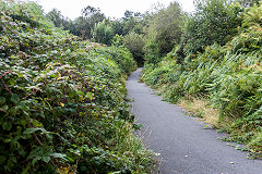
The line to Royal Oak Junction
|
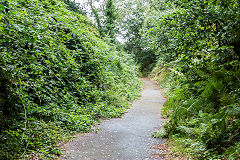
The line to Royal Oak Junction
|
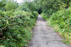
The line to Royal Oak Junction
|
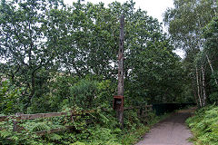
The signal post near Swffryd
|
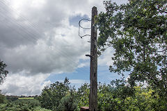
The signal post near Swffryd
|
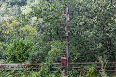
The signal post near Swffryd
|
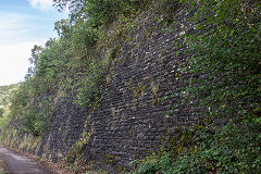
Retaining wall at Royal Oak Jct.
|
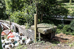
Royal Oak railway bridge
|
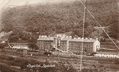
Royal Oak, c1925
|
|
|
Swffryd Quarry and colliery tramway
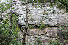
Swffryd Quarry (Monks)
|
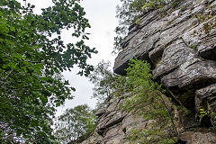
Swffryd Quarry (Monks)
|
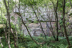
Swffryd Quarry (Monks)
|
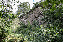
Swffryd Quarry (Monks)
|
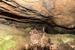
Swffryd Quarry (Monks) cave
|
|
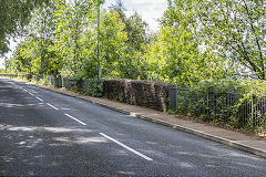
Swffryd Colliery tramway bridge
|
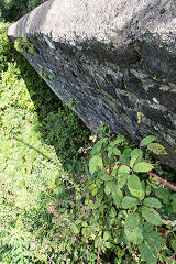
Swffryd Colliery tramway bridge
|
Swffryd Ganol quarry - ST 2219 9924
Swffryd Ganol Colliery - ST 2232 9936
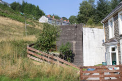
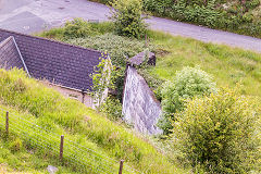
The long, narrow Swffryd Ganol quarry running down to (or is it up from) the village appears to be very old with an unusual wall or foundation at the top and an embankment at the bottom. The tips and earthworks of the various workings of Swffryd Ganol colliery are further along the lane. Swffryd Ganol farmhouse itself has an unusual old stone-tiled roof and the tips and earthworks of the various workings of the colliery are to it's North.
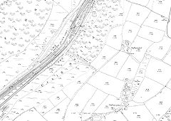
Swffryd Ganol, 1920
|
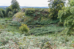
Swffryd Ganol Quarry
|
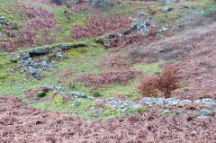
Swffryd Ganol quarry
|
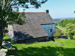
Swffryd Ganol Farmhouse
|
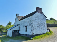
Swffryd Ganol Farmhouse
|
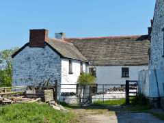
Swffryd Ganol Farmhouse
|
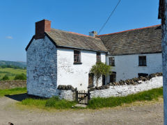
Swffryd Ganol Farmhouse
|
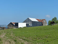
Swffryd Ganol Farmhouse
|
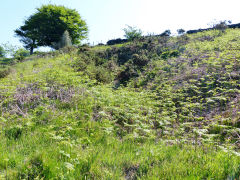
Swffryd Ganol Colliery
|
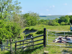
Swffryd Ganol Colliery tips
|
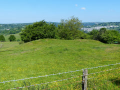
Swffryd Ganol Colliery tips
|
|
Swffryd Colliery - ST 2256 9996
The oldest levels (ST 2256 9983) appear to predate the original tramway. There are what seem to be two parallel, adjacent levels, the area in front of the Southern one is flooded, so may have been drainage, as the other leads to overgrown tips.
At ST 2261 9995 were the older levels that fed the original tramway. Quite well-defined entrances but the tips are probably under the Colliery tips and general workings.The tramway from these older Swffryd levels ends at ST 2259 9973, probably some kind of transhipment dock but not a lot to see.
Swffryd Colliery itself is responsible for the very large tip which dominates the area and on the Southern flank the frame of a dram is half-buried. There are a number of adits behind the tip, it's hard to tell which belonged to the Colliery and which pre-date it. Below the tip the course of the tramway, a shallow incline, can be traced back down the hillside to Swffryd Quarry at ST 2161 9930.
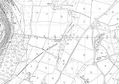
Swffryd Colliery, 1962
|
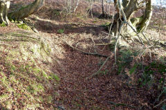
The oldest Swffryd level
|
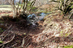
The oldest Swffryd level
|
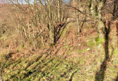
The oldest Swffryd level
|
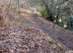
The tramway to the Swffryd levels
|
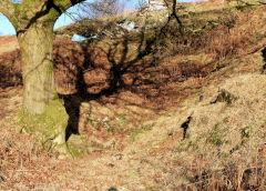
The middle period Swffryd levels
|
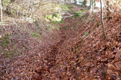
The middle period Swffryd levels
|
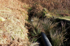
The middle period Swffryd levels
|
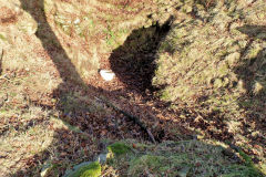
The middle period Swffryd levels
|
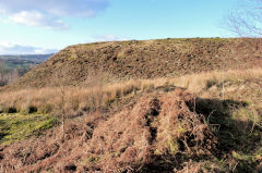
Swffryd Colliery tip
|
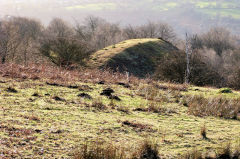
Swffryd Colliery tip
|
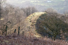
Swffryd Colliery tip
|
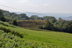
Swffryd Colliery tip
|
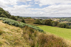
Swffryd Colliery tip
|
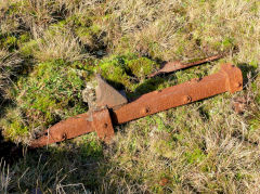
Wagon frame in Swffryd Colliery tip
|
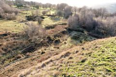
Swffryd Colliery tramway
|
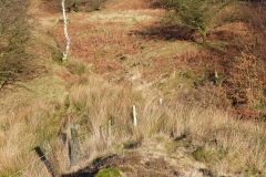
Towards the main Swffryd levels
|
Swffryd Colliery South level
|
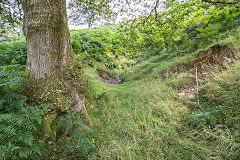
Swffryd Colliery North level
|
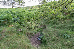
Swffryd Colliery North level
|
Llanhilleth Farm, Erskine Level and Nant-y-cnyw
Another very complicated little area containing, in no particular order, Farm Colliery, Llanhilleth Farm level, Erskine Colliery, Pen Mynydd Colliery, Jenny (or Ginny) Colliery and Blaencnyw Colliery amongst others. Mining began in the 1830s and continued, on and off, here and there, up to 1974. Old mines closed, new ones opened, sometimes the name changed, sometimes not, so you pay your money and take your choice. However the 'leftovers' are everywhere to be seen, so thats the best way to talk about them.
Llanhilleth Farm Colliery - SO 2287 0054
Judging by the size of the tips this was quite a big 'small' colliery with a long incline down to Llanhilleth. It's marked'disused' on all OS maps and seems to have closed by 1888.
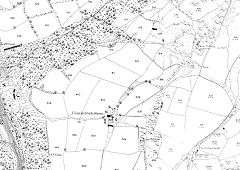
Llanhilleth Farm area, 1880
|
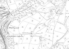
Llanhilleth Farm area, 1901
|
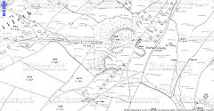
Llanhilleth Farm area, 1920
|
|
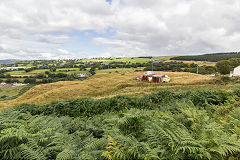
Llanhilleth Farm Colliery
|
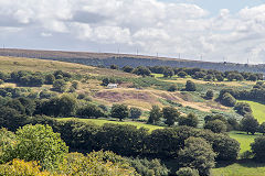
Llanhilleth Farm Colliery
|
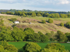
Llanhilleth Farm Colliery
|
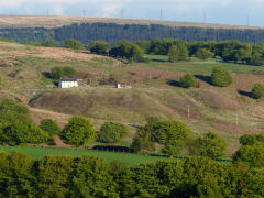
Llanhilleth Farm Colliery
|
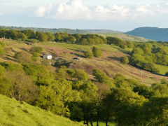
Llanhilleth Farm Colliery
|
|
|
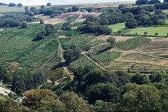
Farm Colliery incline
|
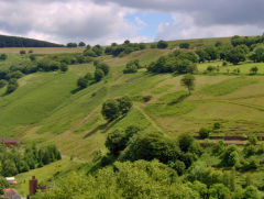
Farm Colliery incline
|
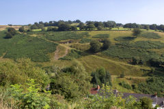
Farm Colliery incline
|
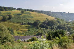
Farm Colliery incline
|
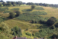
Farm Colliery incline
|
The Rows and the quarry - SO 2231 0040
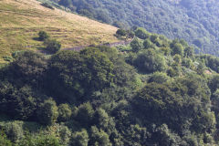
The site of The Rows
|
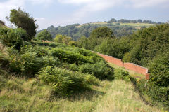
The Rows quarry incline
|
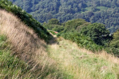
The Rows quarry incline
|
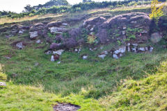
The Rows quarry
|
The Colliery tramway and incline - SO 2258 0056
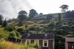
Farm Colliery incline
|
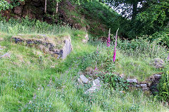
Cottage at lower end of incline
|
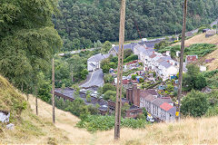
Llanhilleth Farm Colliery incline
|
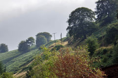
Llanhilleth Farm Colliery incline
|
Llanhilleth Farm Colliery incline
|
Llanhilleth Farm Colliery incline
|
Llanhilleth Farm Colliery incline
|
Llanhilleth Farm Colliery incline
|
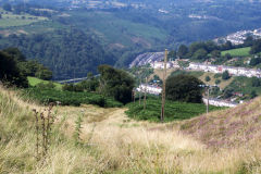
Llanhilleth Farm Colliery incline
|
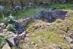
Farm Colliery incline cottages
|
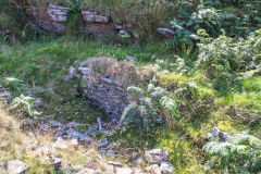
Farm Colliery incline cottages
|
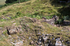
Farm Colliery incline cottages
|
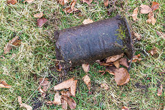
Ginny run or incline roller
|
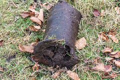
Ginny run or incline roller
|
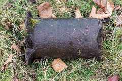
Ginny run or incline roller
|
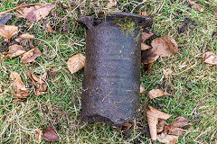
Ginny run or incline roller
|
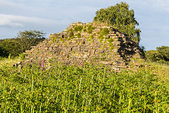
Barn to the North of the incline
|
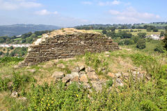
Barn to the North of the incline
|
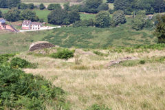
Barn to the North of the incline
|
|
The Colliery tips - SO 2282 0056
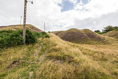
Llanhilleth Farm Colliery tips
|
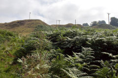
Llanhilleth Farm Colliery tips
|
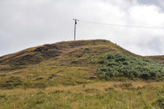
Llanhilleth Farm Colliery tips
|
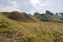
Llanhilleth Farm Colliery tips
|
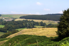
Llanhilleth Farm Colliery tips
|
|

Llanhilleth Farm, 1920
|
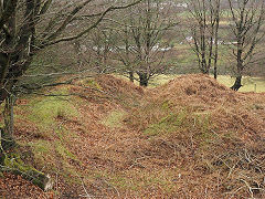
Llanhilleth Farm 1920s level
|
Around the Colliery itself - SO 2286 0055
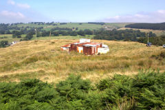
Llanhilleth Farm Colliery
|
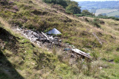
Llanhilleth Farm Colliery
|
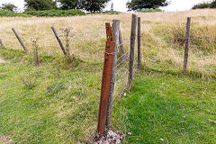
Llanhilleth Farm Colliery rail
|
|
Llanhilleth Farm and level - SO 2255 0022
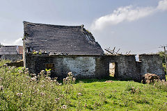
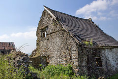
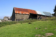
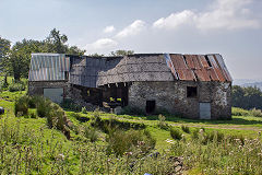
The derelict Llanhilleth Farm and a small level behind it. The level at SO 2267 0020 was shown as 'old' in 1880 but I'm told it's been worked occasionally since then.
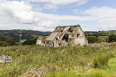
Old Llanhilleth Farm
|
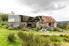
Old Llanhilleth Farm
|
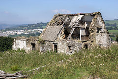
Old Llanhilleth Farm
|
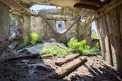
Old Llanhilleth Farm
|
Old Llanhilleth Farm
|
Old Llanhilleth Farm
|
Old Llanhilleth Farm barn
|
Old Llanhilleth Farm barn
|
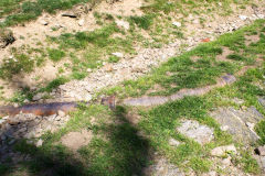
Cast-iron water pipe
|
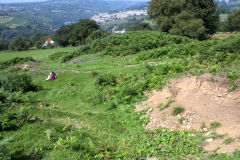
Level behind old Llanhilleth Farm
|
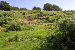
Level behind old Llanhilleth Farm
|
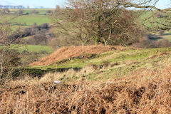
Llanhilleth Farm level tips
|
Erskine Colliery or Pen Mynydd Colliery - SO 2287 0054
Erskine Colliery was active from 1927 to 1947 with four levels. One or two levels were re-opened the same year as Pen Mynydd Colliery and it was finally abandoned in 1974.
Jenny Colliery or Ginny Colliery - SO 2310 0101
Next door was Jenny Colliery or Ginny Colliery, the whole area seems to be known locally as 'the Ginny'. The colliery was working around the early 1900s and possibly re-worked as part of Erskine Colliery.
Blaencnyw Colliery - SO 2316 0127
Finally, at the head of the valley was Blaencnyw Colliery (or Blaen-y-cnyw). It is shown as old levels and quarries by 1880 but, other than some rough ground, has been lost under the opencast workings of the Hafodyrynys Canyons. On the map, I have superimposed the 1920 Blaencnyw workings on the 1962 edition.
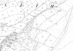
Nant-y-cnyw Colliery, 1880
|
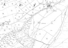
Nant-y-cnyw Colliery, 1901
|
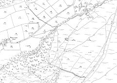
Nant-y-cnyw Colliery, 1920
|
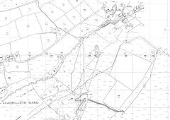
Nant-y-cnyw Colliery, 1962
|
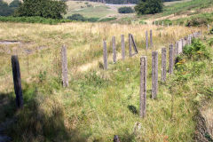
Erskine Colliery ginny run building
|
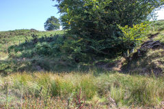
Erskine Colliery main level
|
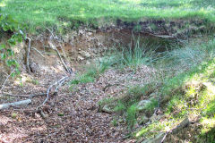
Erskine Colliery second level
|
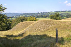
Erskine Colliery tips
|
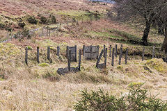
Erskine Colliery ginny run
|
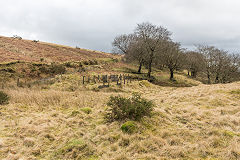
Erskine Colliery ginny run
|
|
|
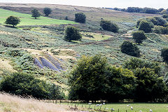
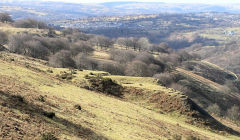
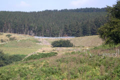
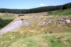
Nant-y Cnyw level
|
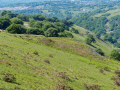
Nant-y-Cnyw level
|
Nant-y Cnyw level
|
Nant-y Cnyw level
|
Nant-y Cnyw level
|
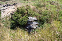
Nant-y Cnyw level loading bank
|
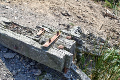
Nant-y Cnyw level loading bank
|
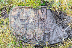
LMS plate at Nant-y-Cnyw
|
Cwmcyffin and Blaencyffin
Blaencuffin? or Blaencyffin? Well, the Ordnance Survey spell it as Blaencyffin so as they're their maps I'll better follow their lead.
"Blaencyffyn Isha Colliery" is renowned for being the destination of one of the first loco-hauled trains in Monmouthshire. In June 1830 a locomotive named 'Hercules' or 'Speedwell', built by the Neath Abbey Ironworks, hauled 20 empty wagons from Newport up the MRCC tramroad to the foot of the Hafod Arthen incline and took 20 full wagons back.. It only took 12 hours for the round trip, much the same as today on a bad day on the by-pass!
Cwm Cyffin Quarry - SO 2235 0129
Cwm Cyffin Quarry was active around 1901 but was disused by 1920. The quarry itself is not large but the tramway and incline connecting it to Llanhilleth are more substantial and well worth a look. The incline terminated on Blaencyffin Road at SO 2186 0093 and the brakehouse at SO 2204 0102 with a passing loop at the halfway point. The tramway passes through an earlier small quarry at SO 2218 0126. There may have been an extension from the foot of Hafod Arthen incline up to the quarry as well.
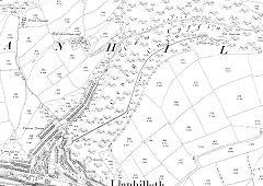
Cwm Cyffin Quarry, 1901
|
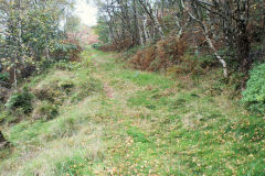
Cwm Cyffin Quarry incline
|
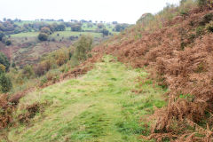
Cwm Cyffin Quarry incline top
|
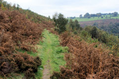
Cwm Cyffin Quarry tramway
|
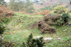
Cwm Cyffin Quarry tramway
|
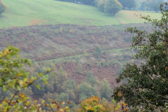
Cwm Cyffin Quarry tramway
|
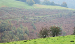
Cwm Cyffin Quarry tramway
|
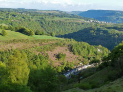
Cwm Cyffin Quarry tramway
|

Small quarry next to tramway
|
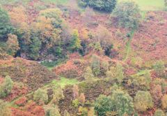
Cwm Cyffin Quarry
|
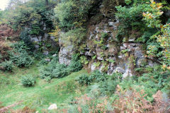
Cwm Cyffin Quarry
|
|
Hafod Arthen Colliery - SO 2209 0181
Hafod Arthen Colliery (or Cwm Cyffin Colliery), has been worked on and off from the 1890s until finally closing in the 1960s. It may well have been worked from 1801 as the possible site of the original Blaencyffin Colliery. The site of a timber-framed level is now a water source beside the footpath from the tramway to the church. There are extensive tips and the route of the incline down to Llanhilleth at SO 2204 0131 can be traced. Two small levels existed either side of Aber-Common in the early 1900s at SO 2194 0164.The tramway to Blaencyffin leads off from the head of the incline to make an excellent footpath. There's some odd ruins between Hafod Arthen Farm and the road at SO 2207 0195, probably agricultural but no idea what it was!
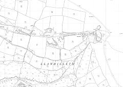
Hafod Arthen Colliery, 1962
|
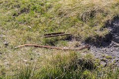
Hafod Arthen Colliery ironmongery
|
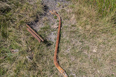
Hafod Arthen Colliery ironmongery
|
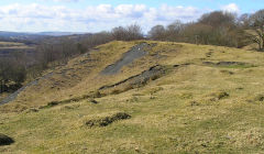
Hafod Arthen Colliery tips
|
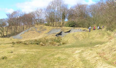
Hafod Arthen Colliery tips
|
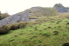
Hafod Arthen Colliery tips
|
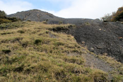
Hafod Arthen Colliery tips
|
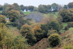
Hafod Arthen Colliery tips
|
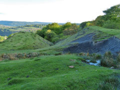
Hafod Arthen Colliery tips
|
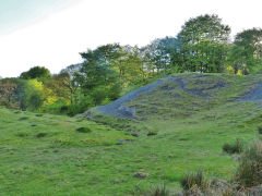
Hafod Arthen Colliery tips
|
Hafod Arthen Colliery level
|
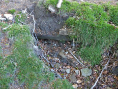
Hafod Arthen Colliery level
|
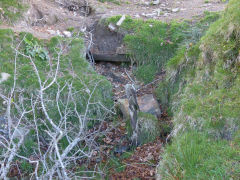
Hafod Arthen Colliery level
|
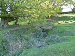
Hafod Arthen Colliery level
|
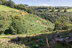
Hafod Arthen Colliery incline
|
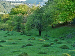
Hafod Arthen Colliery incline
|
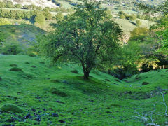
Hafod Arthen Colliery incline
|
|
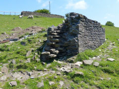
Hafod Arthen Farm ruins
|
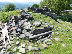
Hafod Arthen Farm ruins
|
Along the tramway to Blaencyffin Uchaf Colliery - SO 2253 0172
An assortment of tips, foundations and the glimmer of a level can be found on the way to Blaencyffin Uchaf Colliery. The minor levels and loading banks shown on the map have mostly disappeared under the opencast workings leaving the tips alongside the tramway,
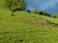
The first sign of activity is at SO 2215 0178, the second level to the right of Hafod Arthen, where a small tip remains.
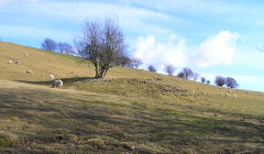
Level beside Blaencyffin tramway
|
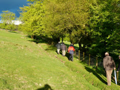
Level beside Blaencyffin tramway
|
Level beside Blaencyffin tramway
|
|
Two sets of foundations are below the tramway, the first at SO 2224 0165 appears to have been a substantial buttressed building with a decided 'industrial' feel about it. The second, at SO 2246 0161 is just a pile of stones.
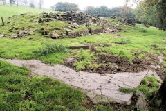
Foundations of first building
|
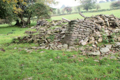
Foundations of first building
|
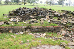
Foundations of first building
|
|
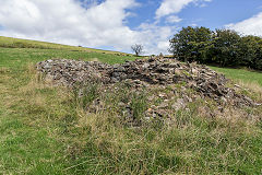
Foundations of second building
|
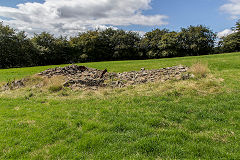
Foundations of second building
|
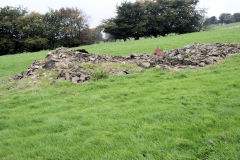
Foundations of second building
|
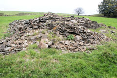
Foundations of second building
|
Above the second ruin was another level of which there is no sign. The tramway has been washed away here exposing some cast-iron pipwork under it. There's also a stone sleeper nearby.
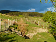
Blaencyffin tramway
|
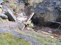
Pipework on Blaencyffin tramway
|
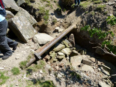
Pipework on Blaencyffin tramway
|
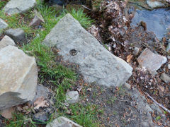
Blaencyffin tramway stone sleeper
|
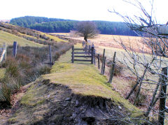
Blaencyffin tramway
|
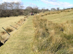
Blaencyffin tramway
|
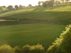
Blaencyffin tramway
|
|
Blaencyffin Uchaf Colliery - SO 2261 0169
Blaencyffin Uchaf Colliery was shown as an 'old coal level' from 1880 to 1901 but, even though still marked 'old', springs into life again with a short tramway leading from a level in 1921. the 1962 map has more tramway and a loading stage. All of that has gone under the opencast, the remaining tips appear to be from the original workings.
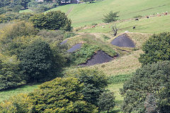
Blaencyffin Uchaf Level
|
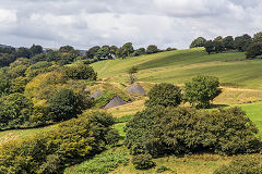
Blaencyffin Uchaf level
|
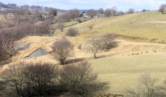
Blaencyffin Uchaf level
|
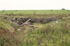
Blaencyffin Uchaf Level tramway
|
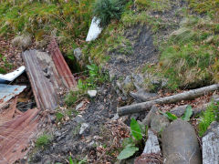
Blaencyffin Uchaf Level tips
|
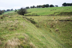
Blaencyffin Uchaf Level tips
|
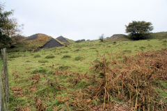
Blaencyffin Uchaf Level tips
|
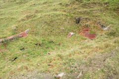
Blaencyffin Uchaf Level tips
|
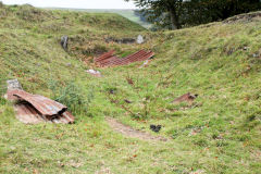
Blaencyffin Uchaf Level tips
|
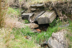
Blaencyffin Uchaf Level tips
|
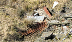
Blaencyffin Uchaf Level tips
|
|
Blaencyffin Colliery (Blaencyffin Isha) - SO 2297 0171
Blaencyffin Level dates from around 1832 as a later development of Cwm Cyffin Colliery. A tramway connected this and the other levels along the hillside with Cwm Cyffin. Over 170 years a number of adits existed on the site, operated by different owners as fortunes changed, the final closure of this well-known small mine coming in 2001.
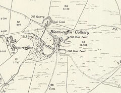
Blaencyffin Colliery, 1899
|
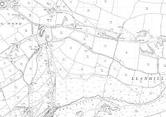
Blaencyffin Colliery, 1962
|
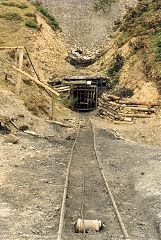
Blaencyffin Colliery
|
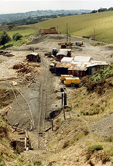
Blaencyffin Colliery
|
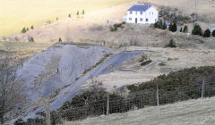
Blaencyffin Colliery
|
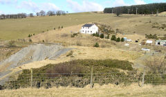
Blaencyffin Colliery
|
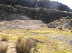
Blaencyffin Colliery
|
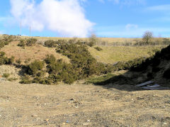
Blaencyffin Colliery
|
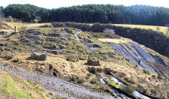
Blaencyffin Colliery
|
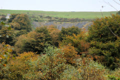
Blaencyffin Colliery tips
|
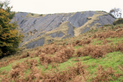
Blaencyffin Colliery tips
|
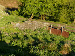
Blaencyffin Colliery tips
|
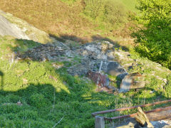
Blaencyffin Colliery tips
|
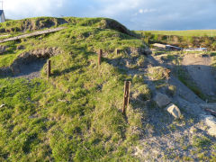
Blaencyffin Colliery tips
|
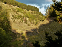
Hafodyrynys Canyons
|
|
Blaencyffin Farmhouse - SO 2283 0170
The ruins here appear to be the ruins of the original farmhouse and buildings. Given their proximity to the colliery they probably served as the colliery offices and workshops too.
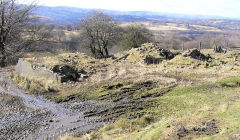
Blaencyffin Farmhouse
|
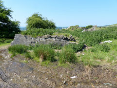
Blaencyffin Farmhouse
|
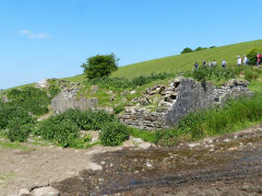
Blaencyffin Farmhouse
|
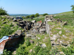
Blaencyffin Farmhouse
|
