Industrial Wales - Monmouthshire's Western Valley
Newbridge and Crumlin
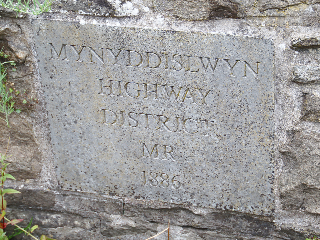
From Newbridge to Kendon and Mynyddislwyn
Search the site here
|
|
Industrial Wales - Monmouthshire's Western Valley
Newbridge and Crumlin
From Newbridge to Kendon and Mynyddislwyn
|
Search the site here
|
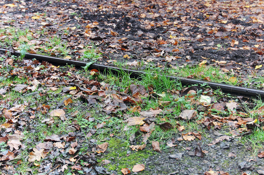
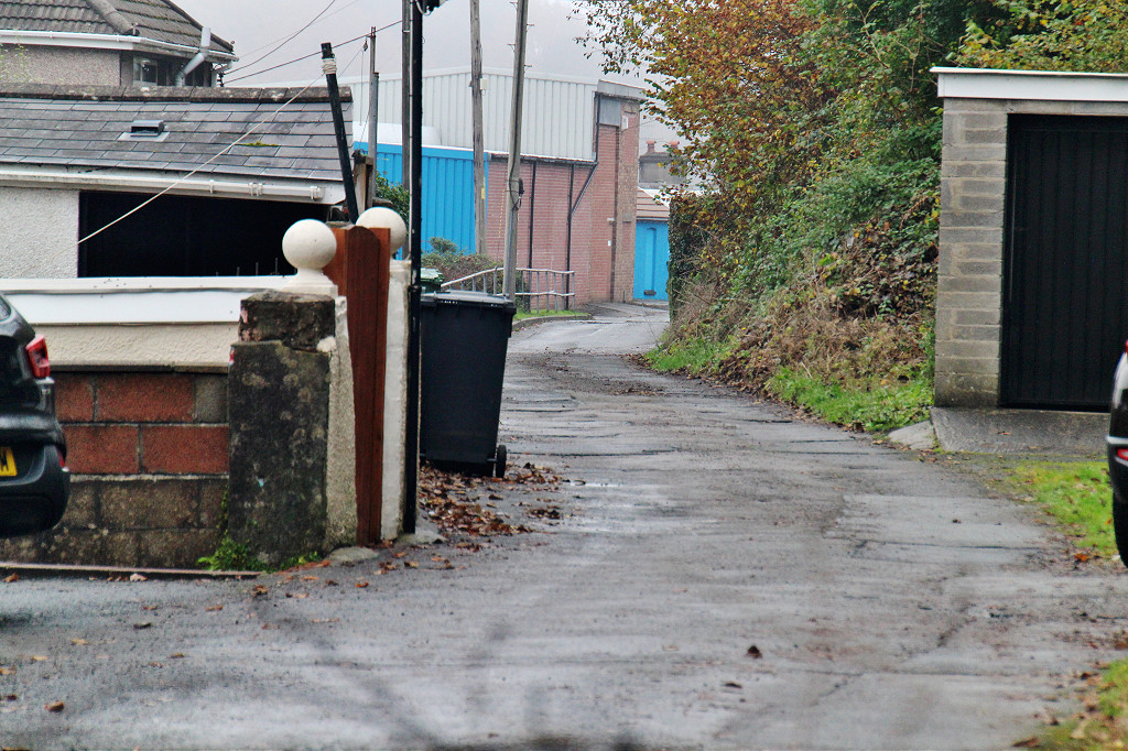
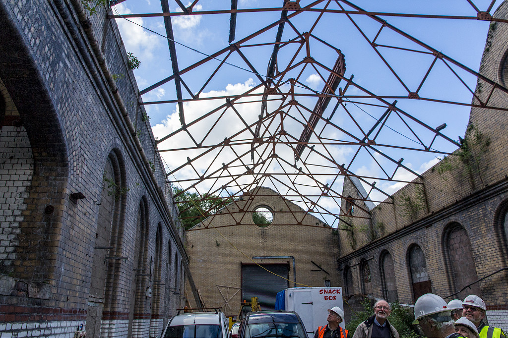
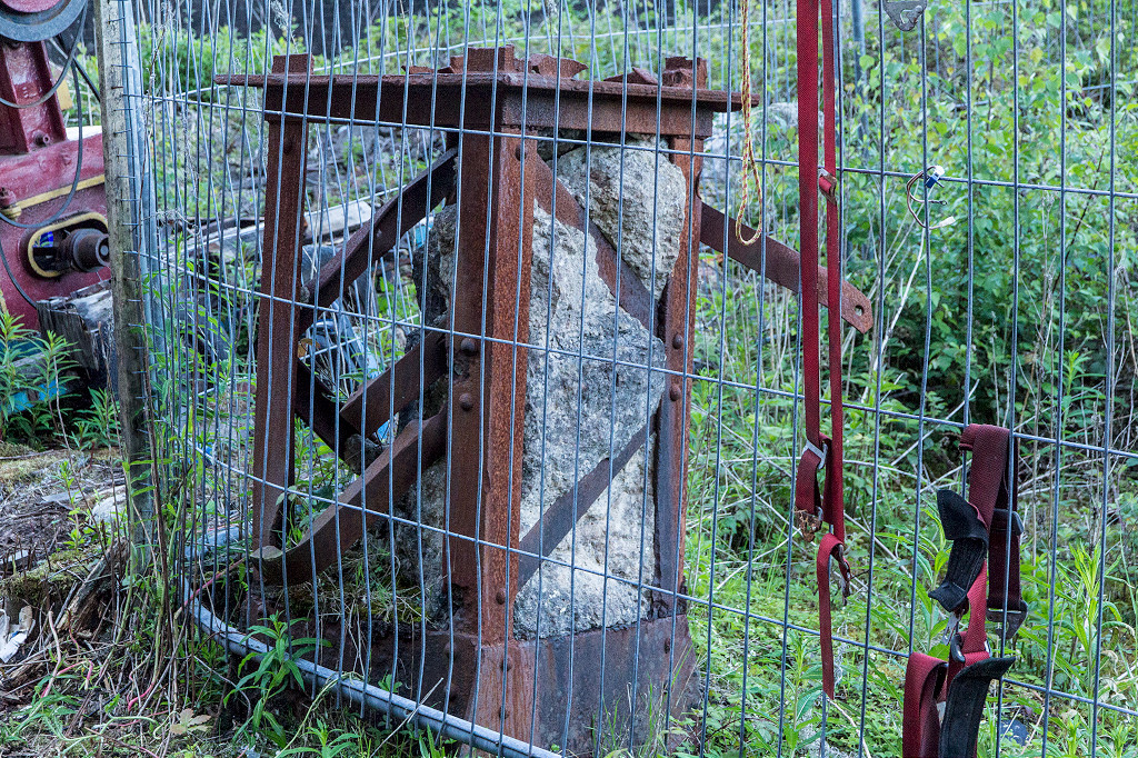
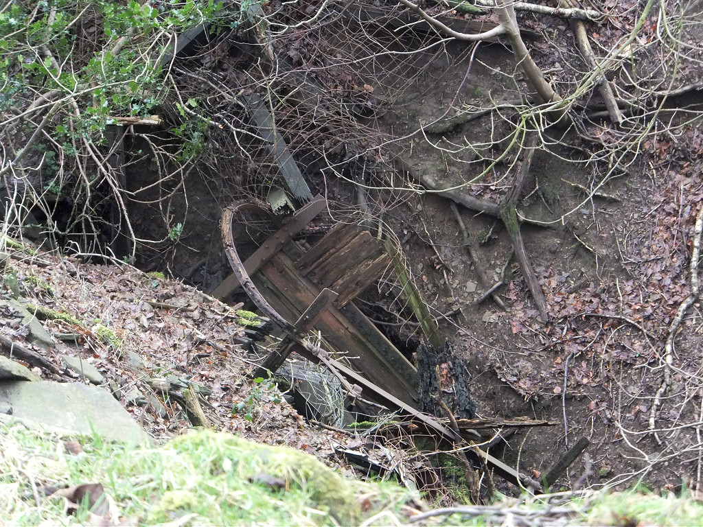
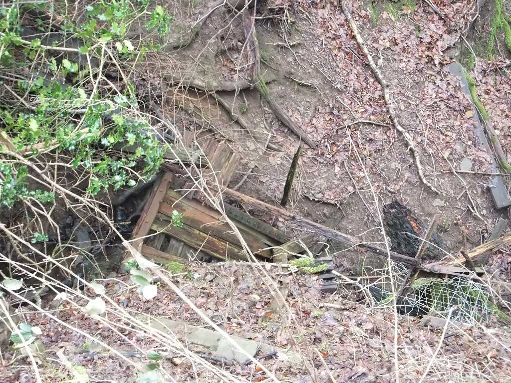
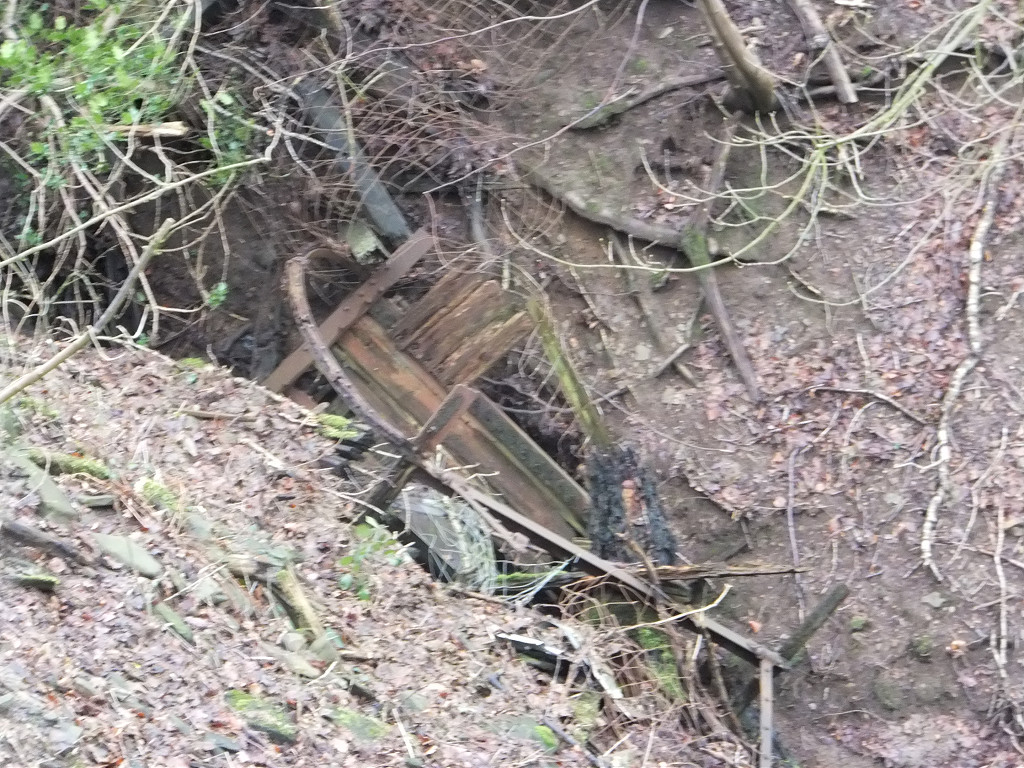
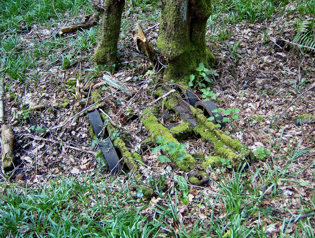 Celynen North wagon frame |
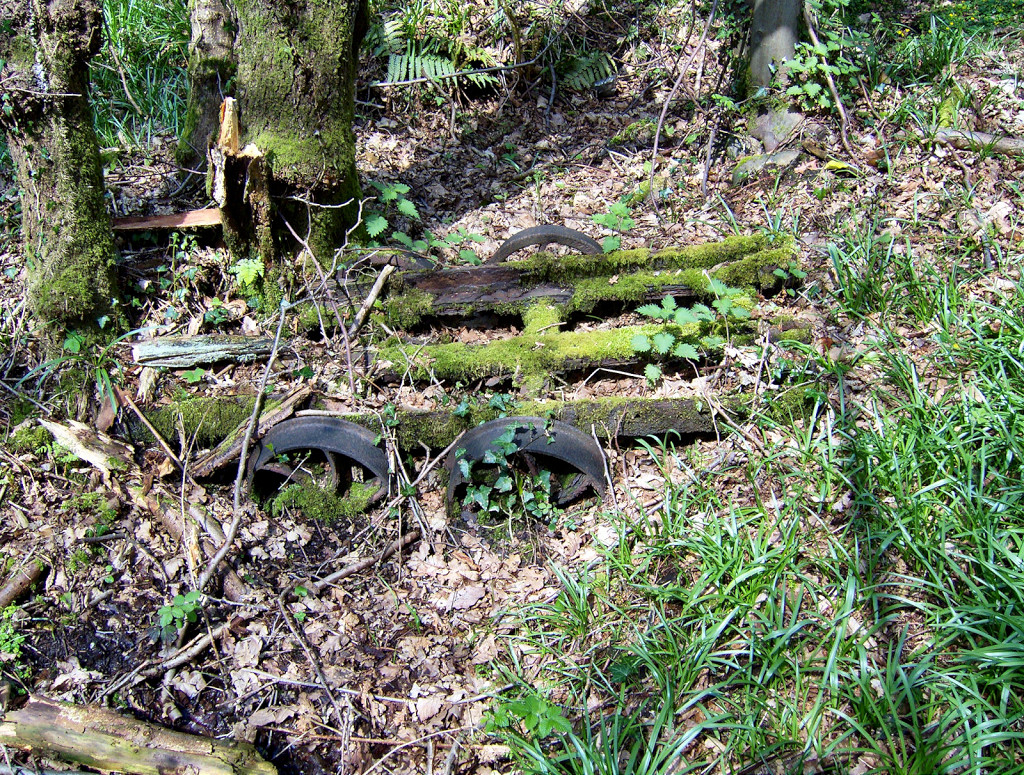 Celynen North wagon frame |
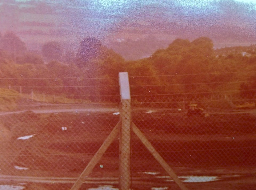
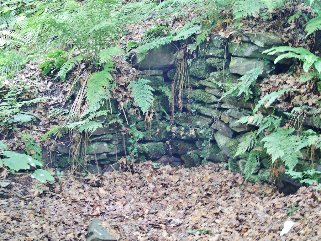
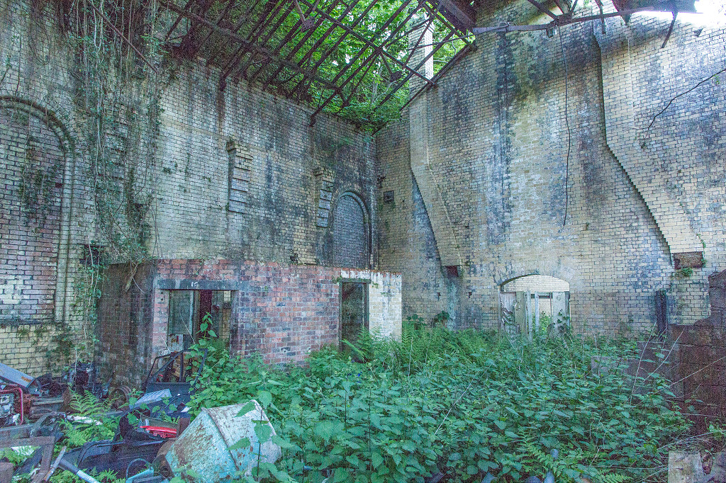
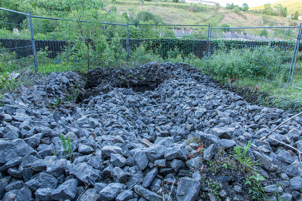
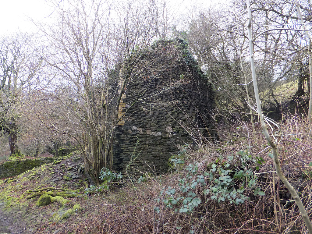
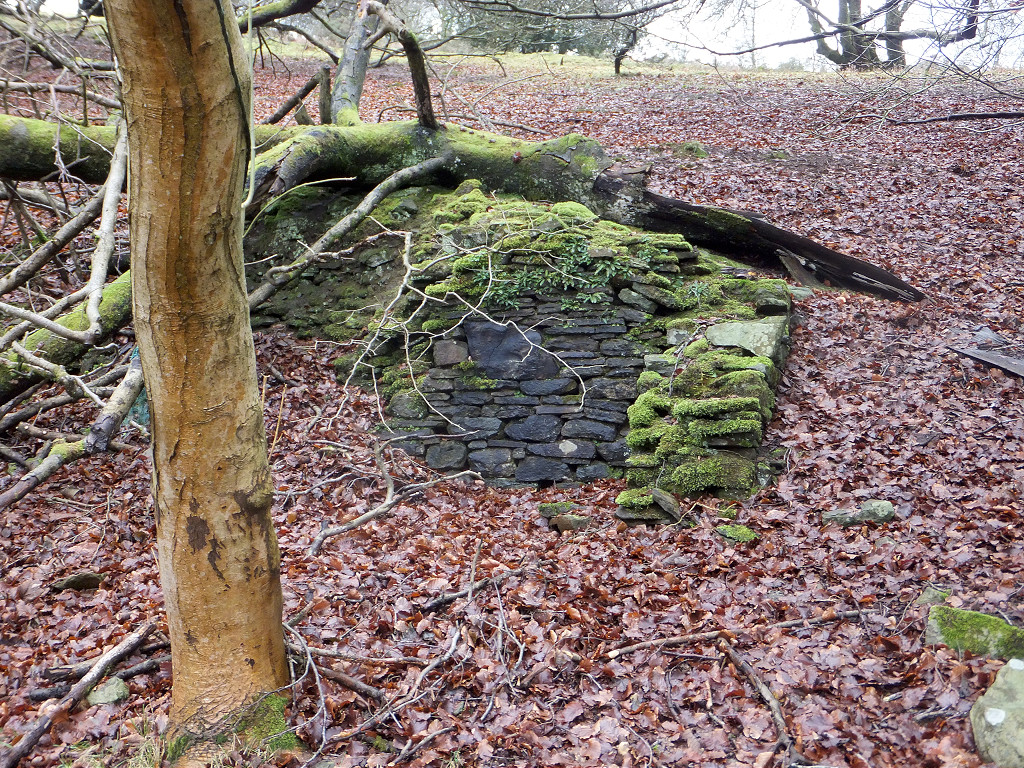
 Celynen North Colliery reservoir |
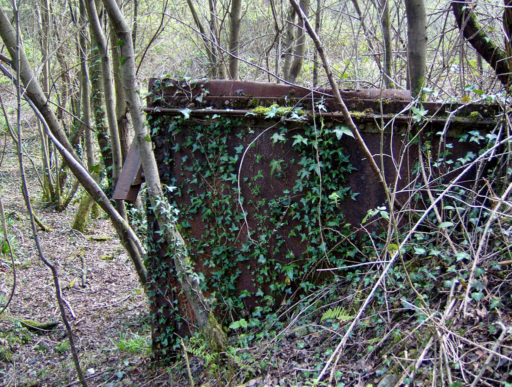 Celynen North Colliery reservoir |
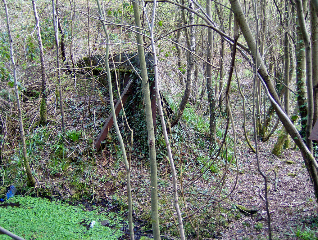 Celynen North Colliery reservoir |
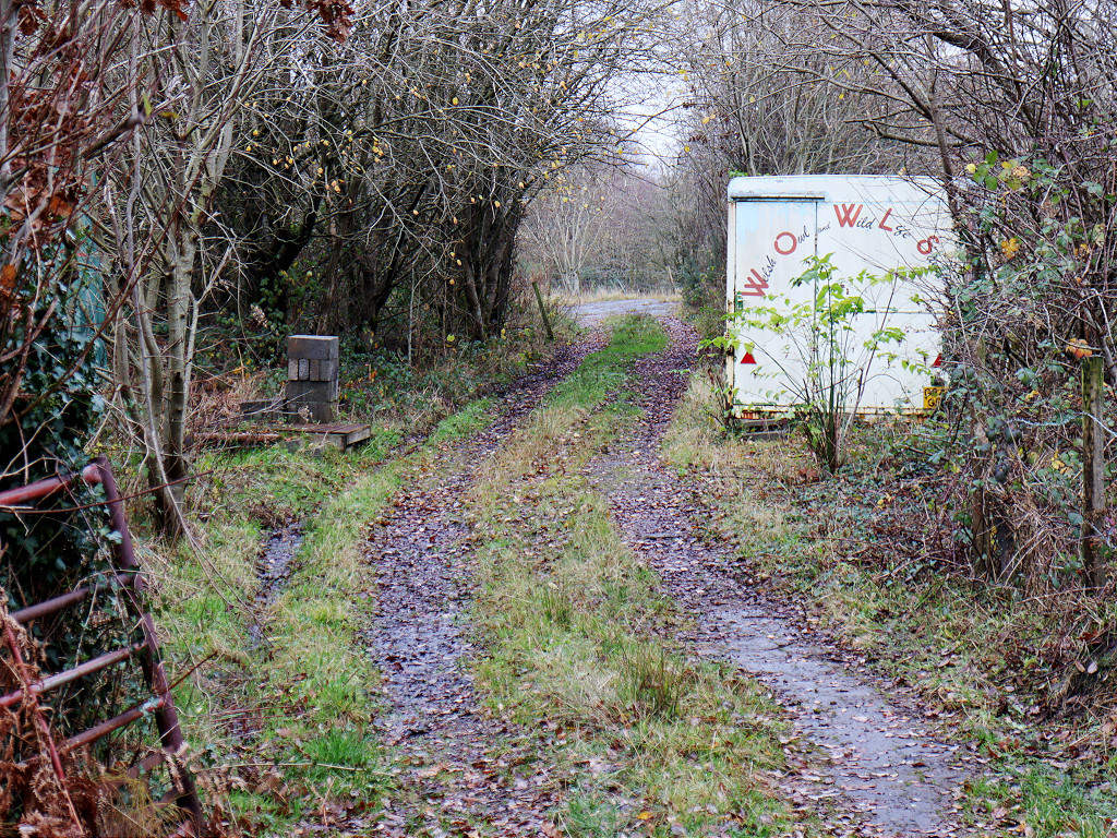
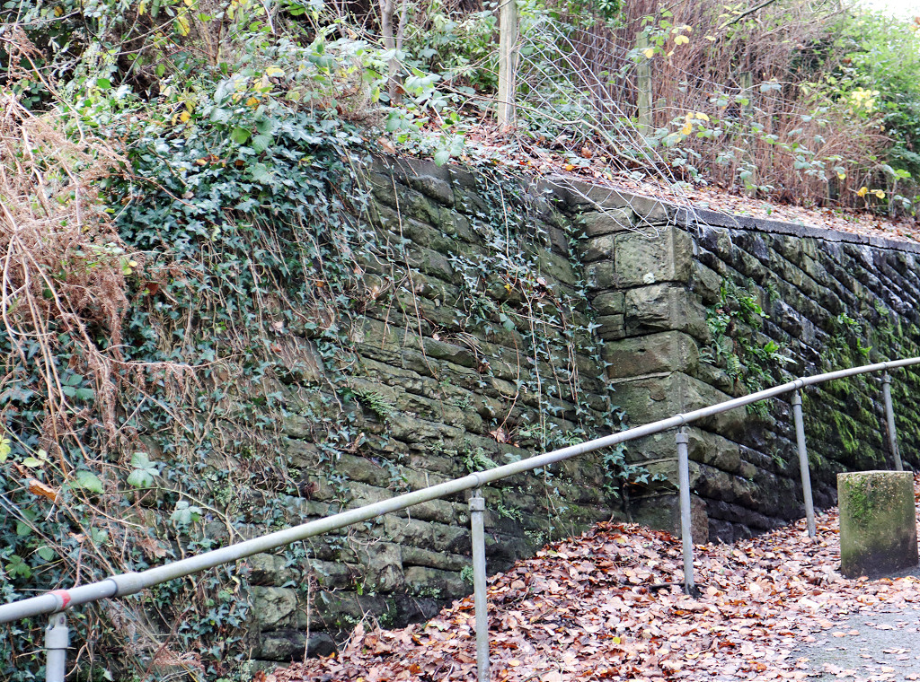
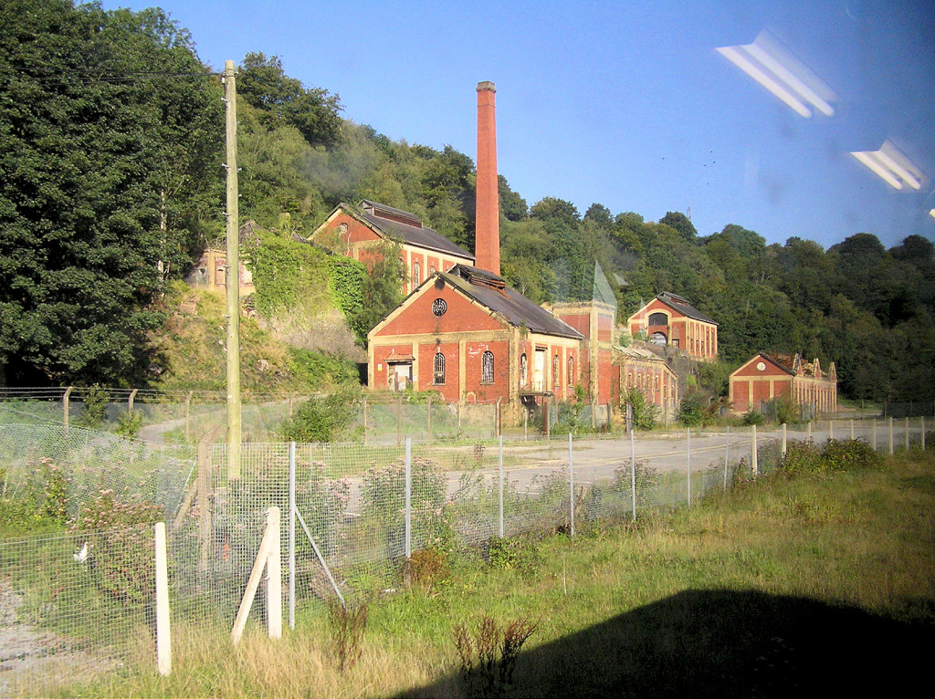
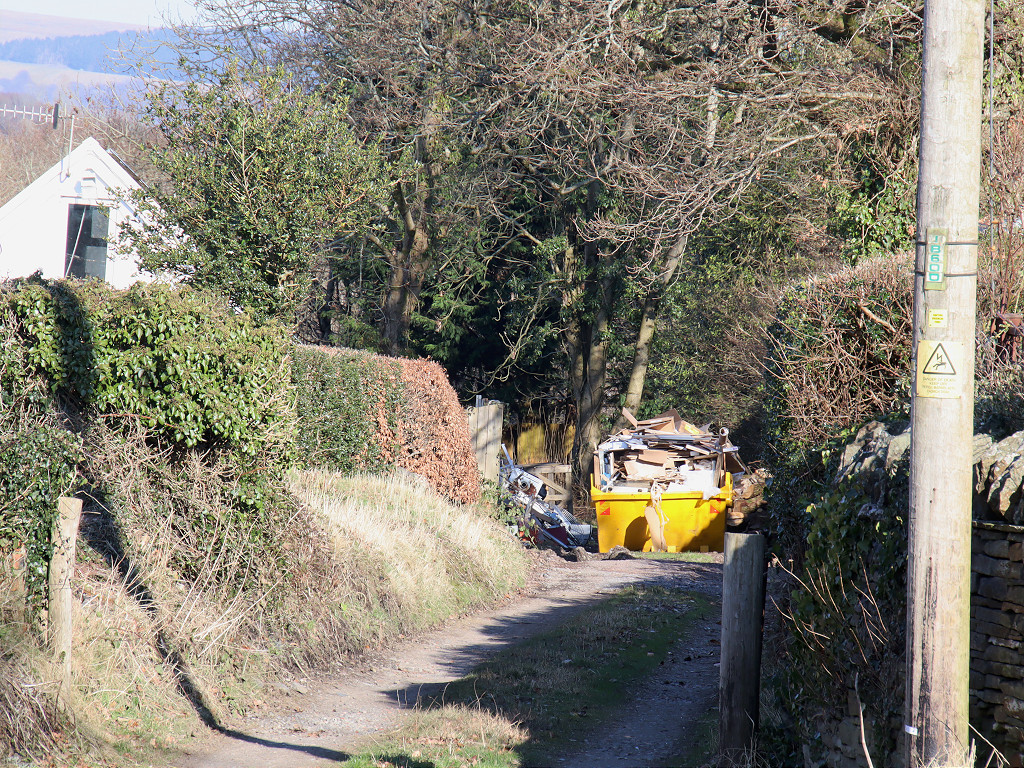
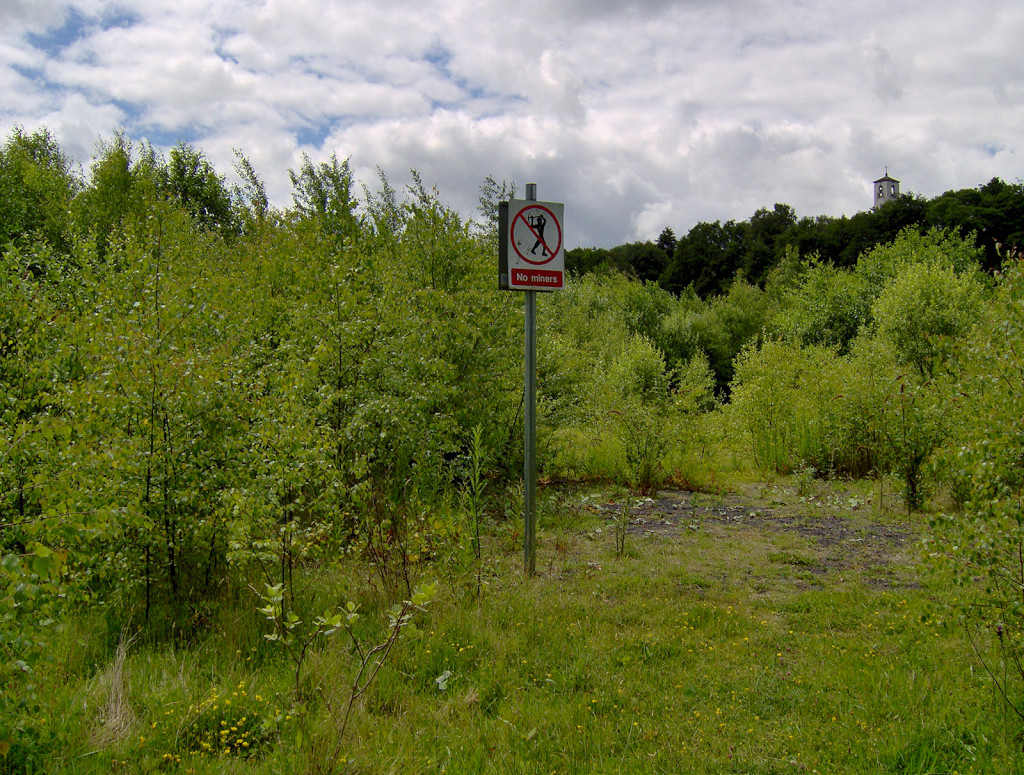 Colliery site and miners sign |
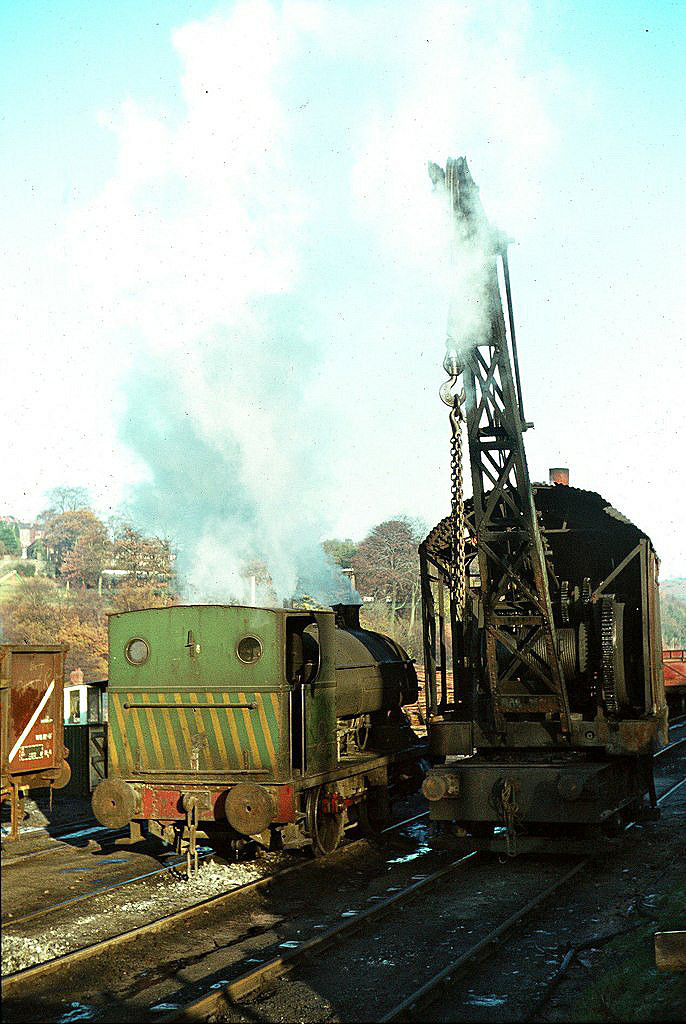
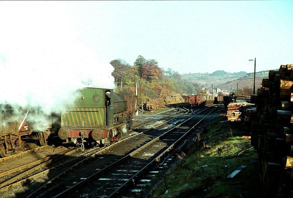
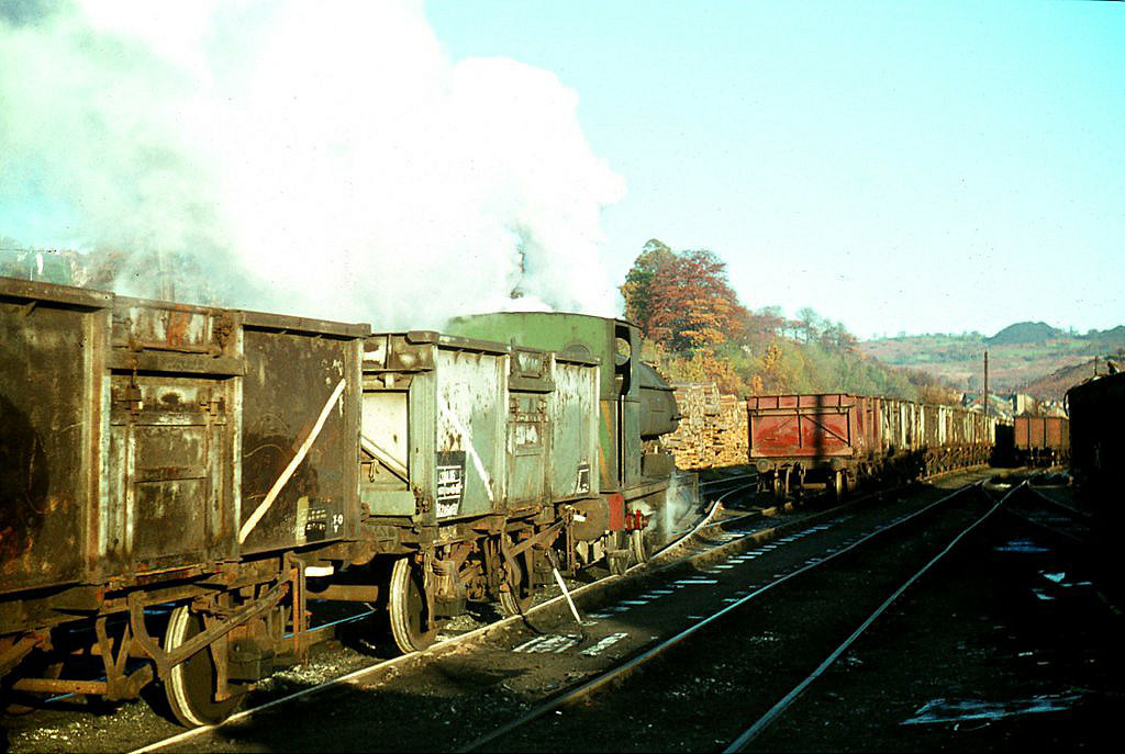
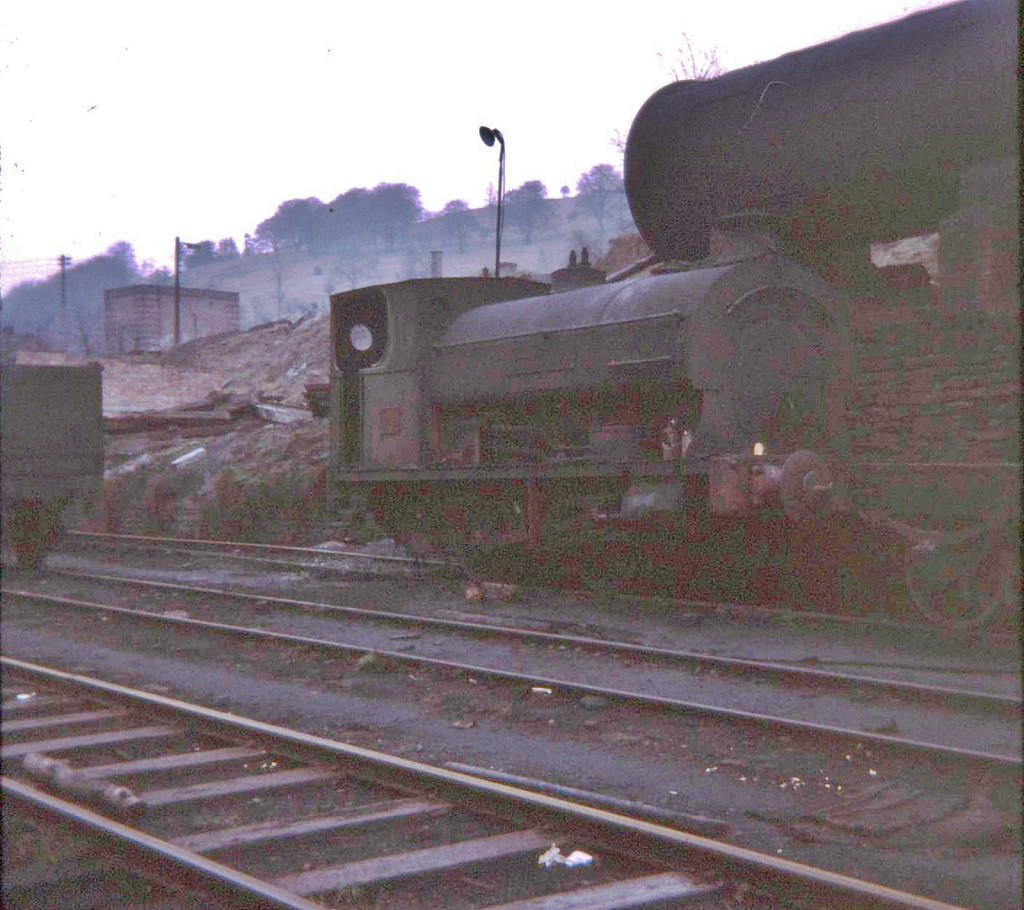 'No 5 Abersychan' at Celynen North |
 '58' at Celynen North Colliery |
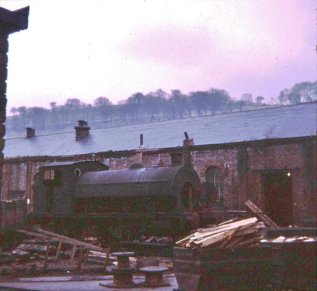
 'Sir John Wyndham Beynon' |
 'Sir John Wyndham Beynon' |
 'Sir John Wyndham Beynon' |
 'Sir John Wyndham Beynon' |
 'Sir John Wyndham Beynon' |
 '58' at Celynen North Colliery |
 'No 5 Abersychan' at Celynen North |
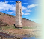
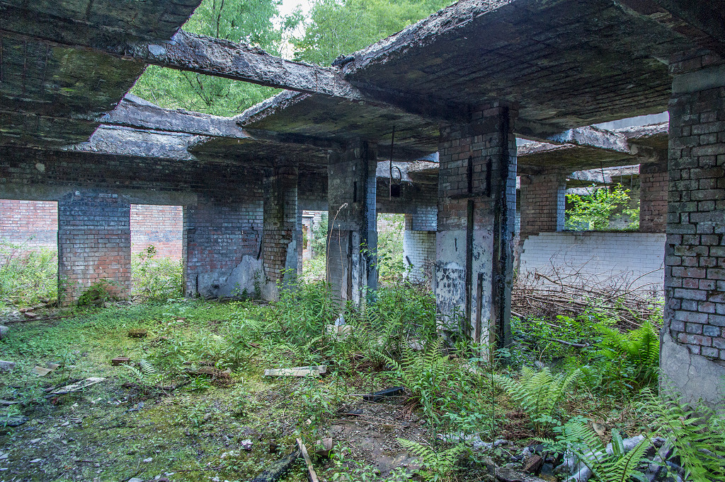
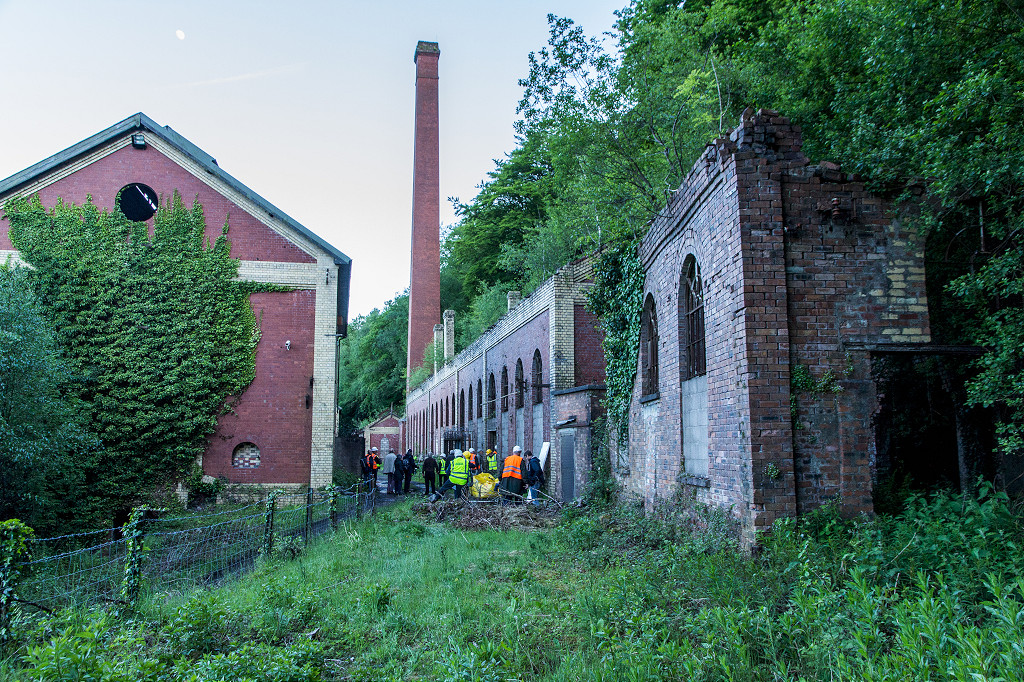
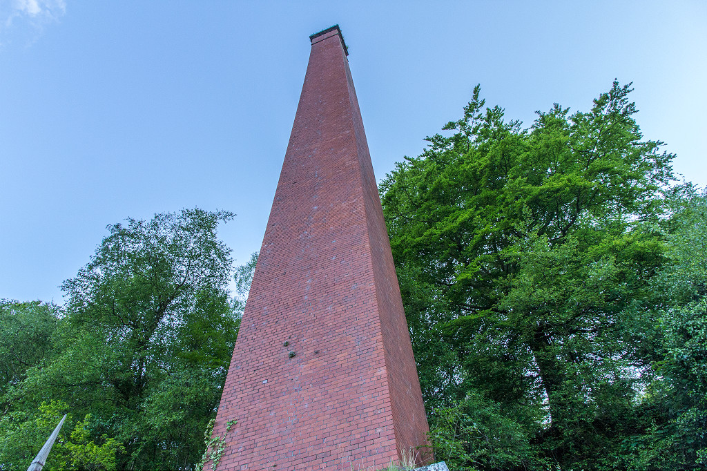
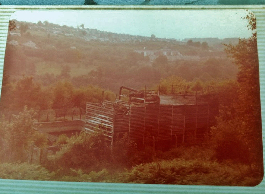 Reservoir cooling towers |
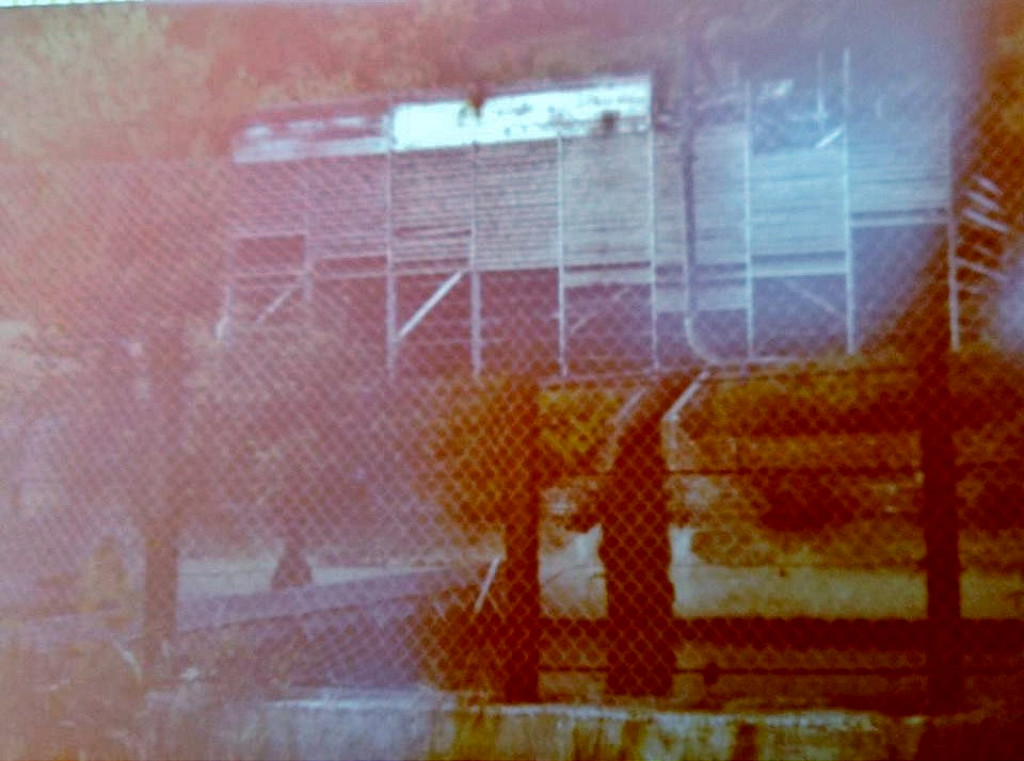 Reservoir cooling towers |
 Reservoir cooling towers |
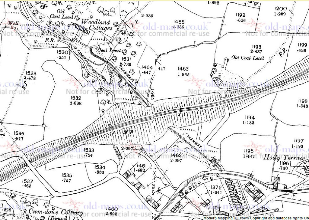
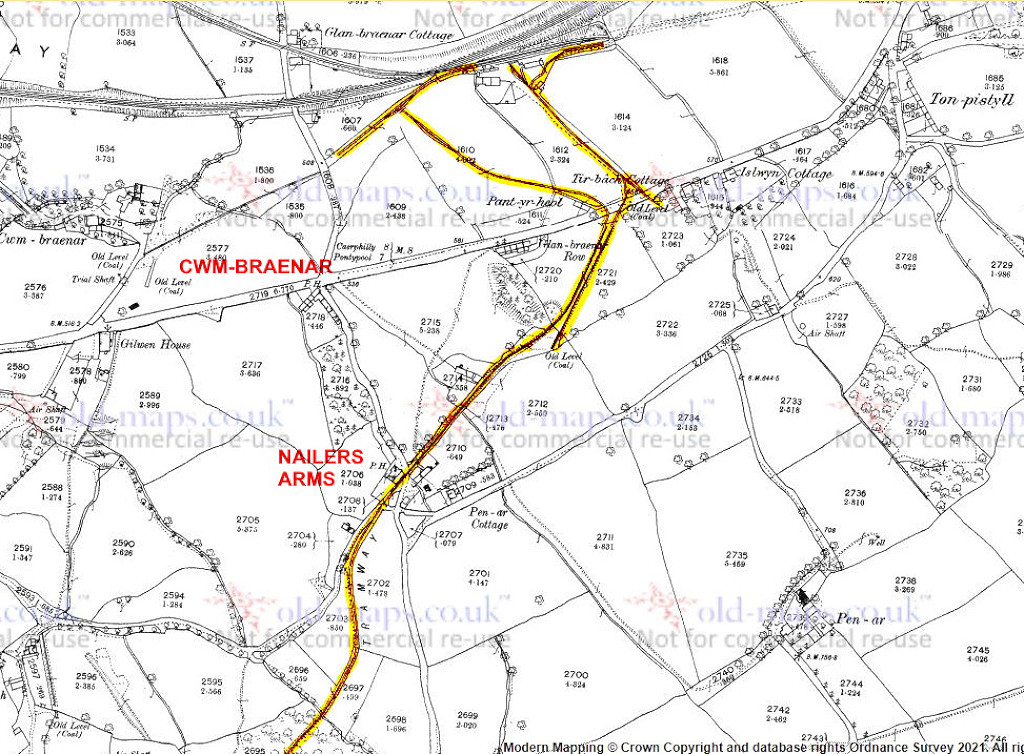
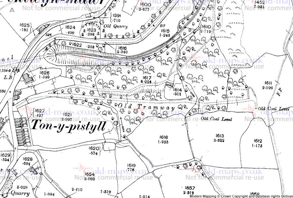
 Cwm Dows Colliery, 1879 |
 Cwm Dows Colliery, 1916 |
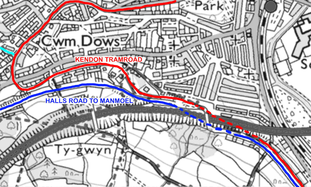
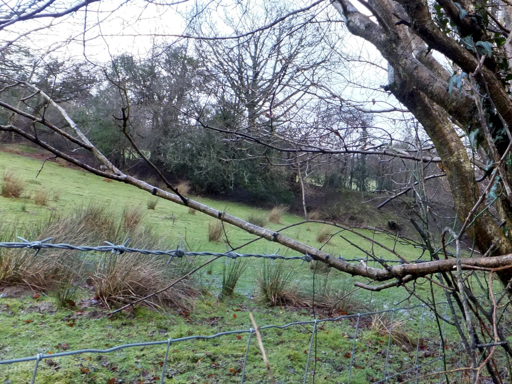
 Cwm Dows Colliery tramroad |
 Cwm Dows Colliery tramroad |
 Cwm Dows Colliery tramroad |
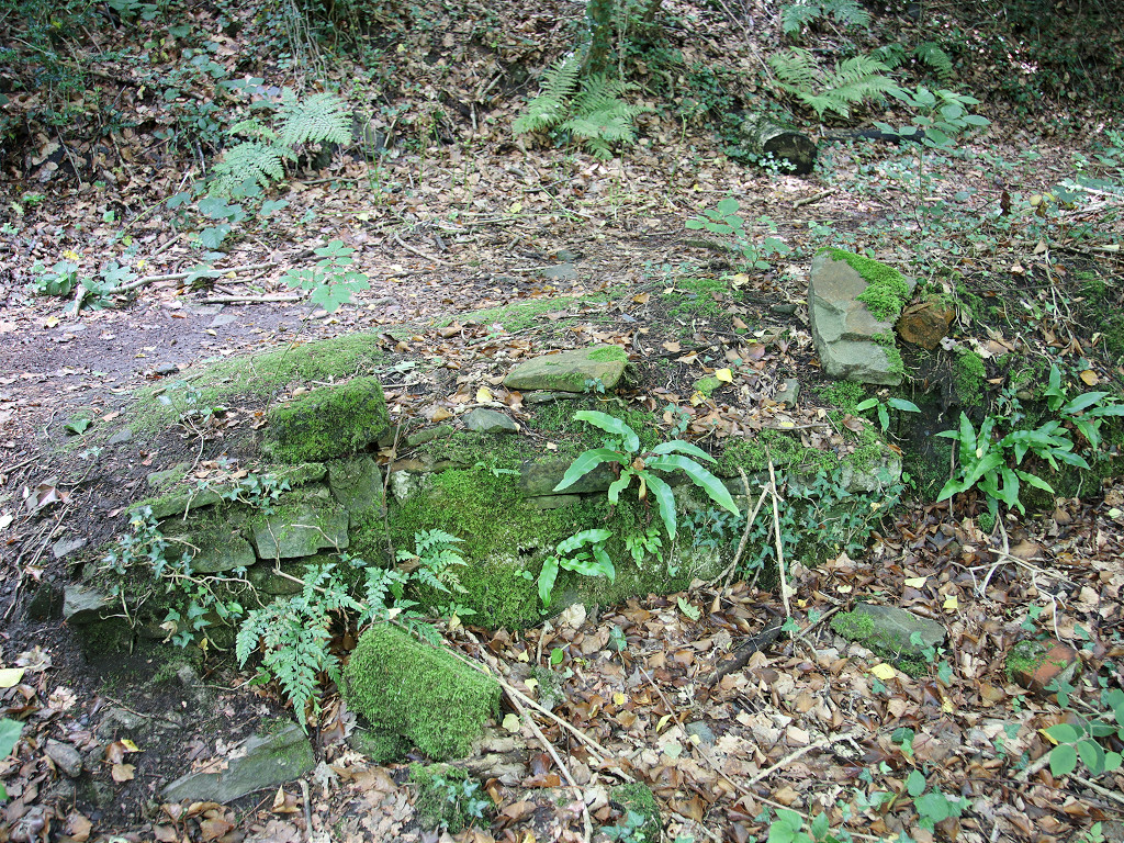
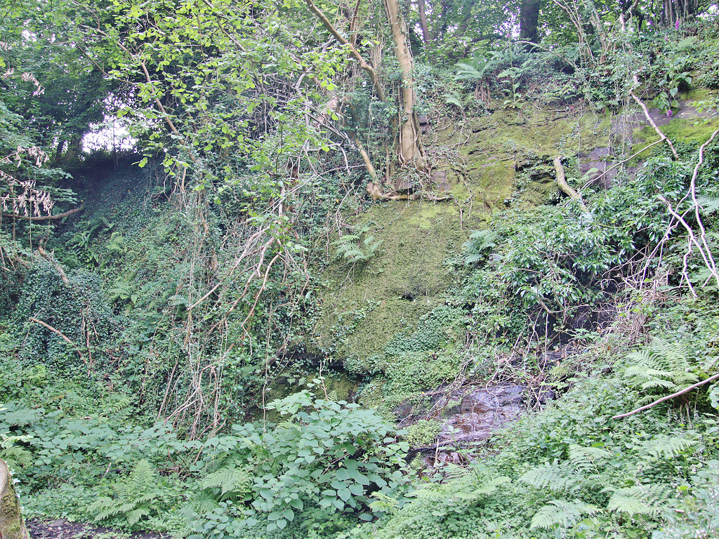
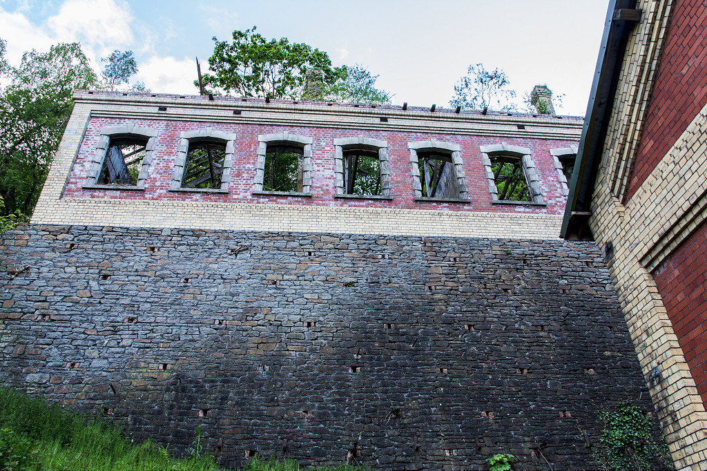
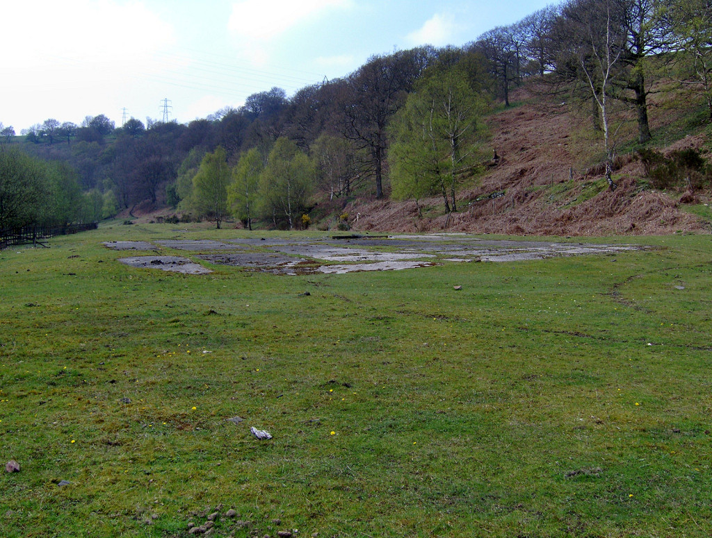
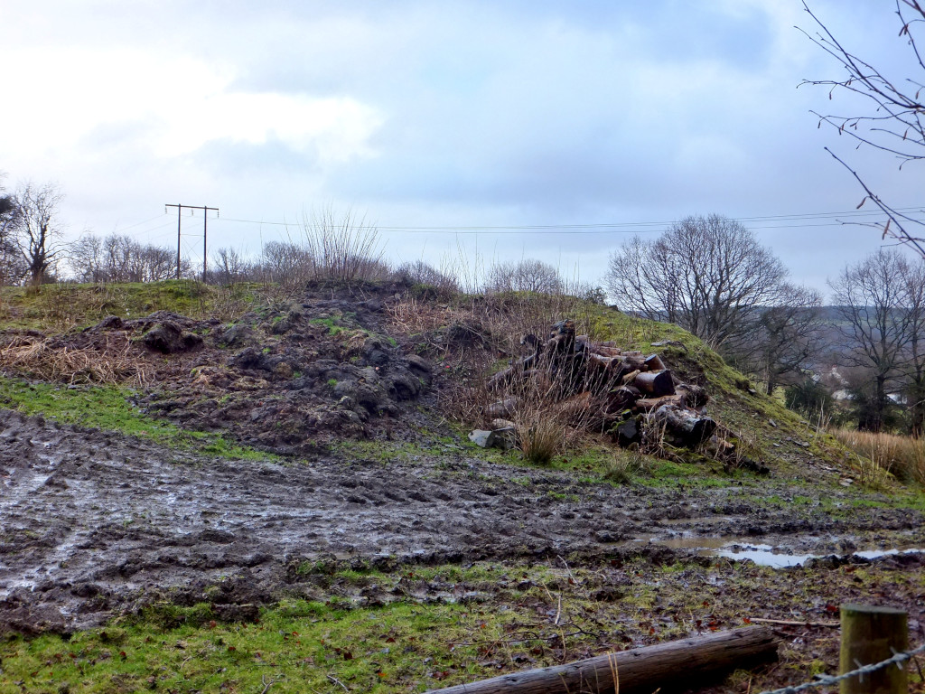
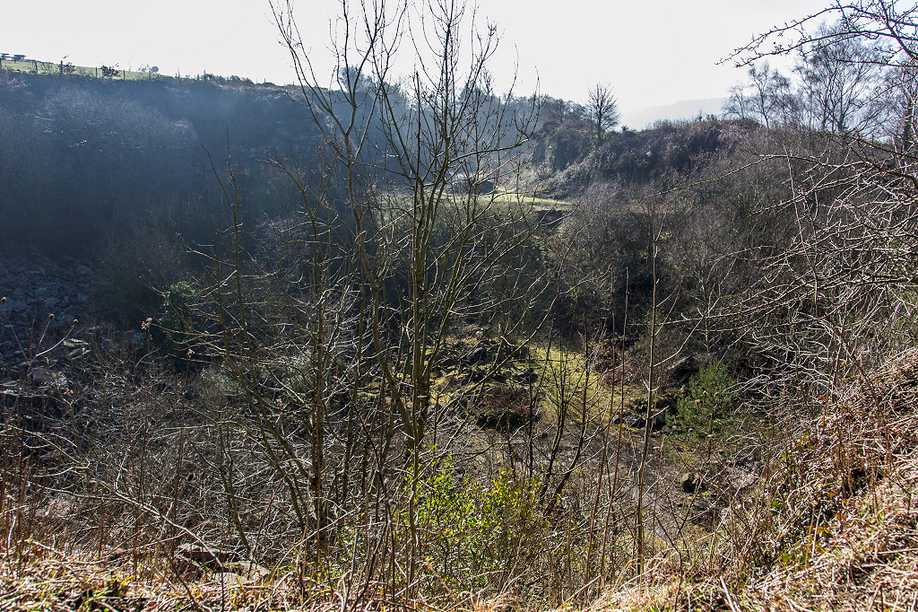
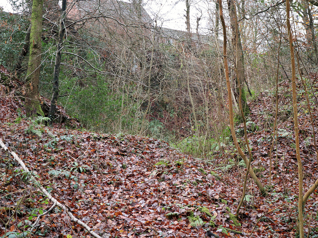 Cwm Dows Colliery quarry |
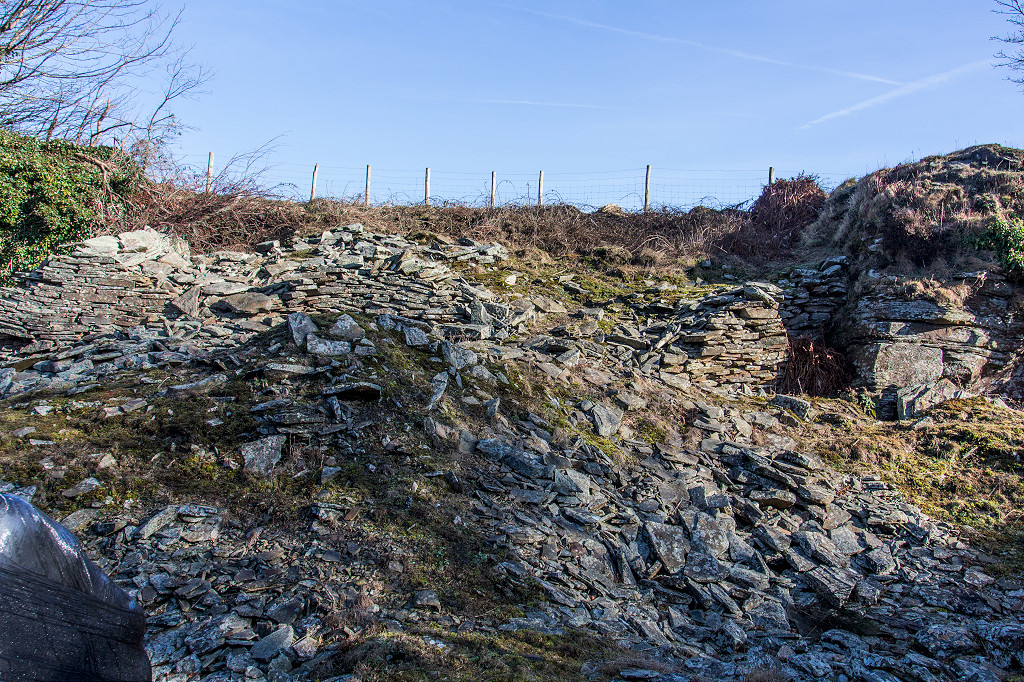
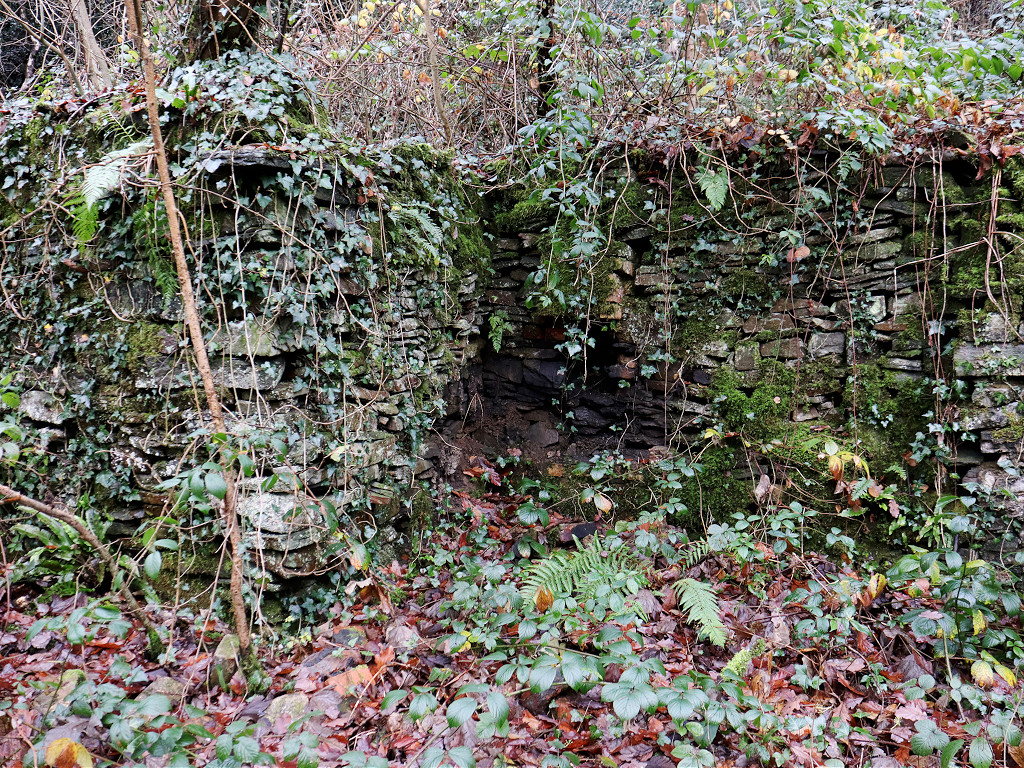 Cwm Dows Colliery wall |
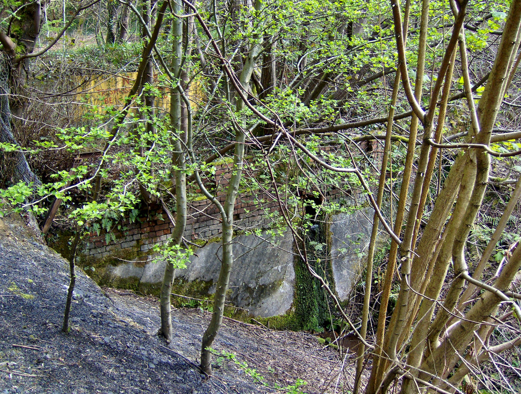
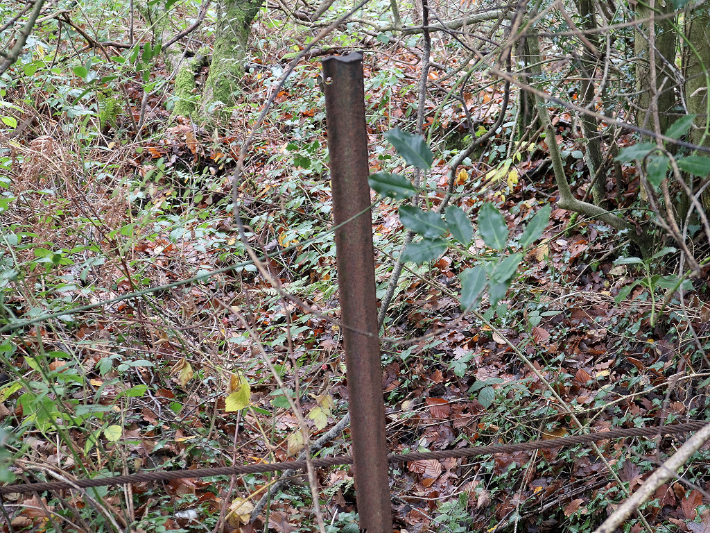
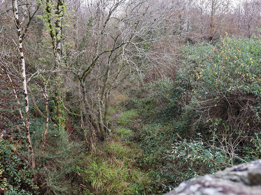
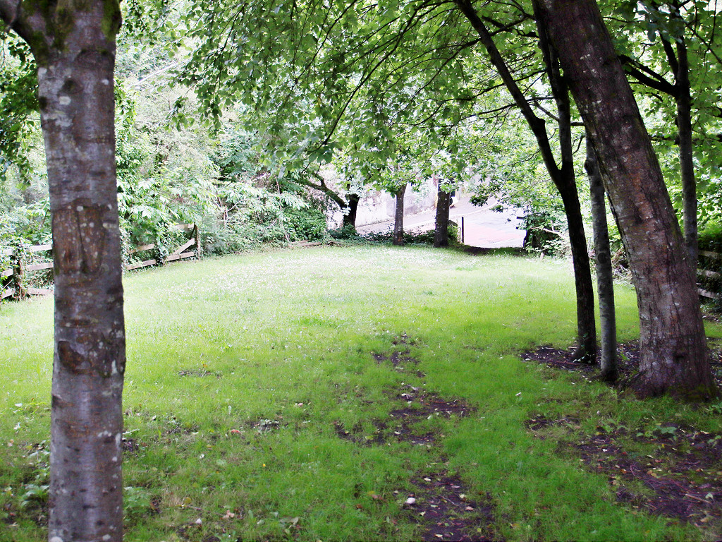
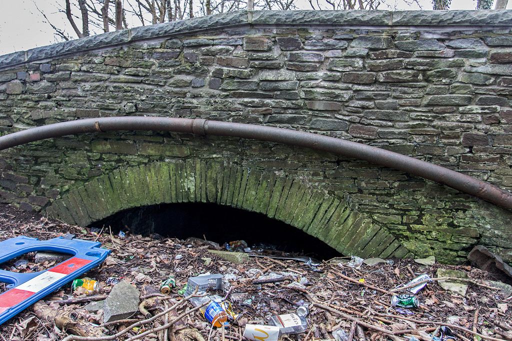
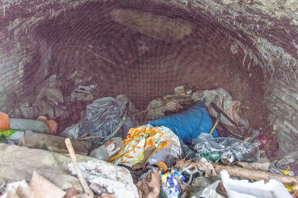
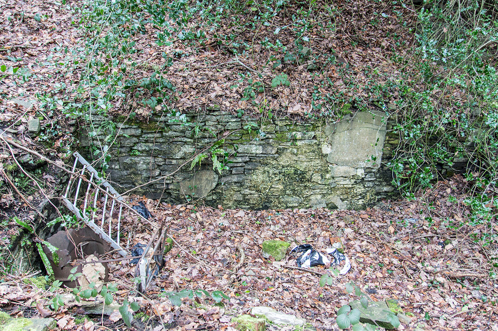
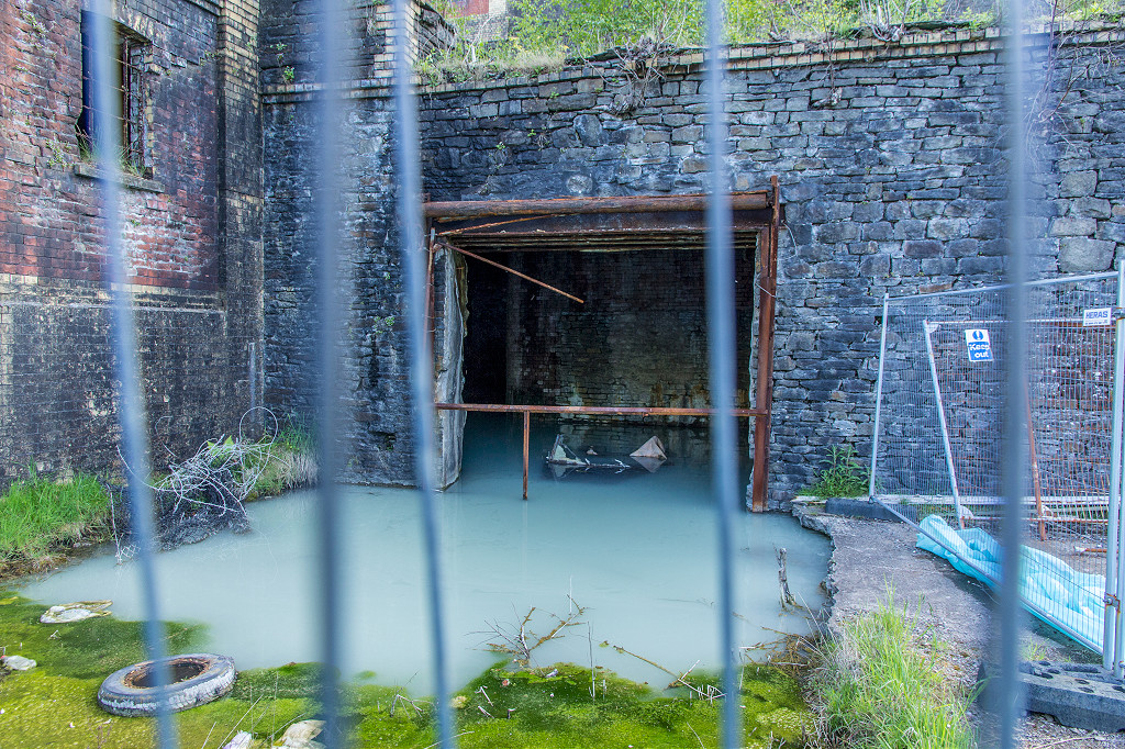
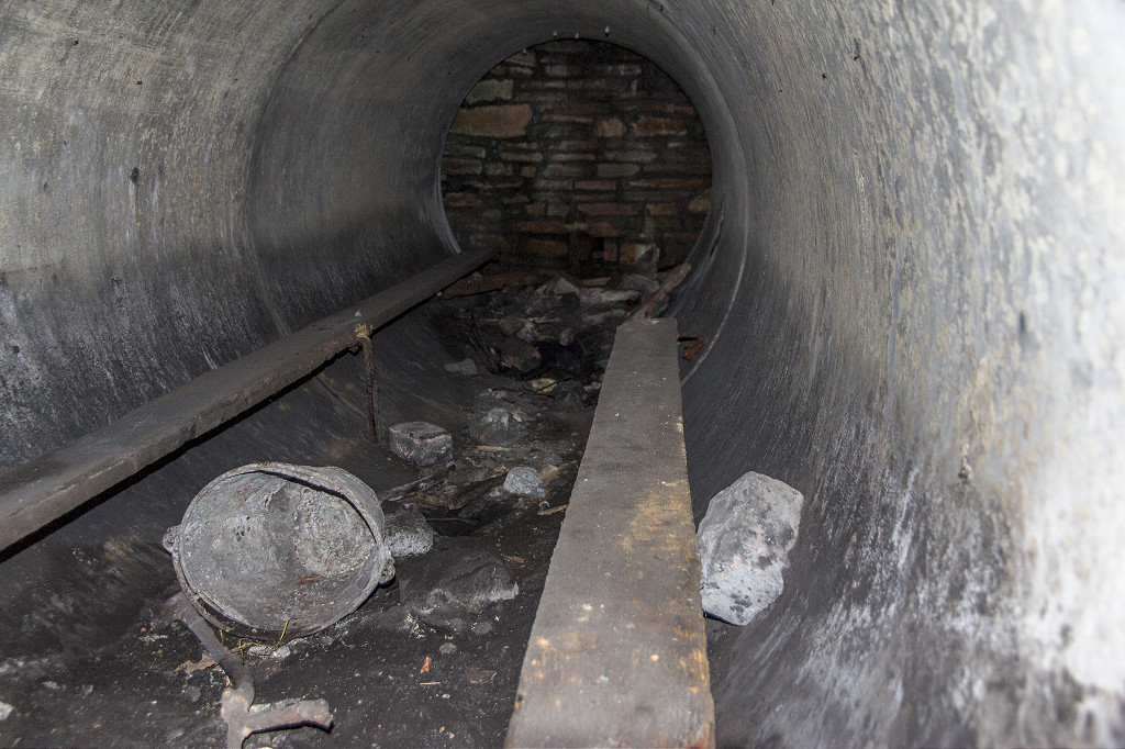
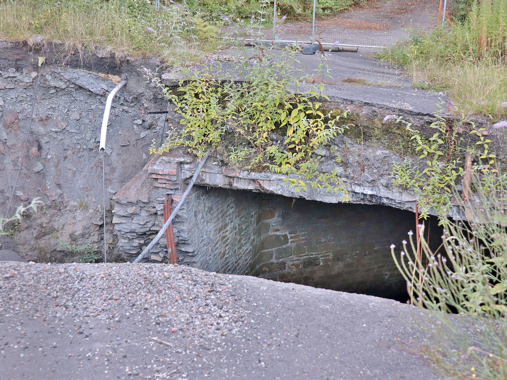
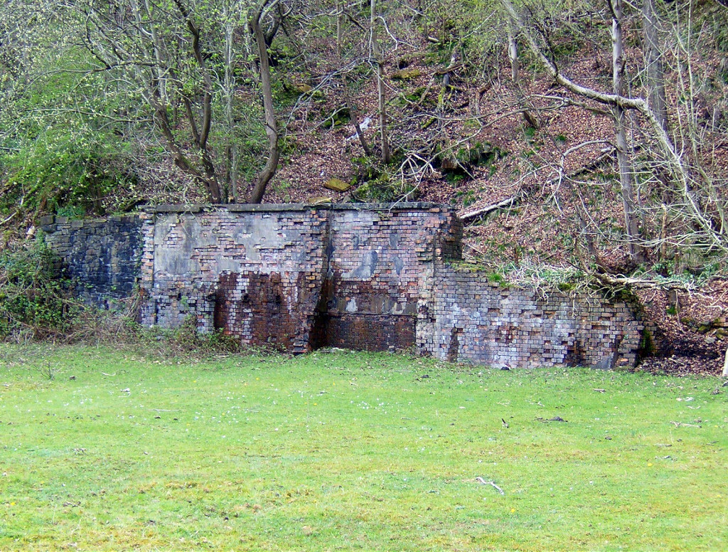
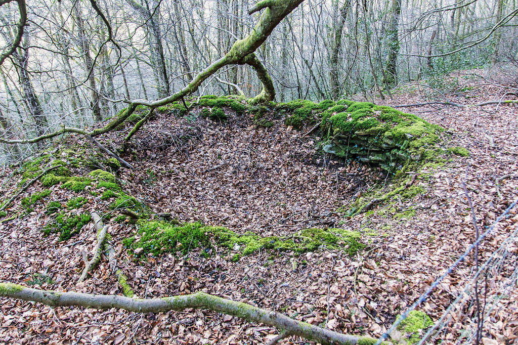
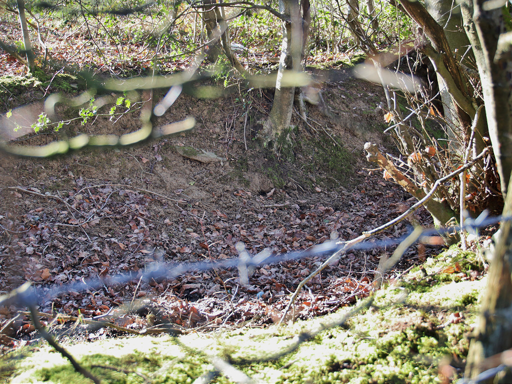
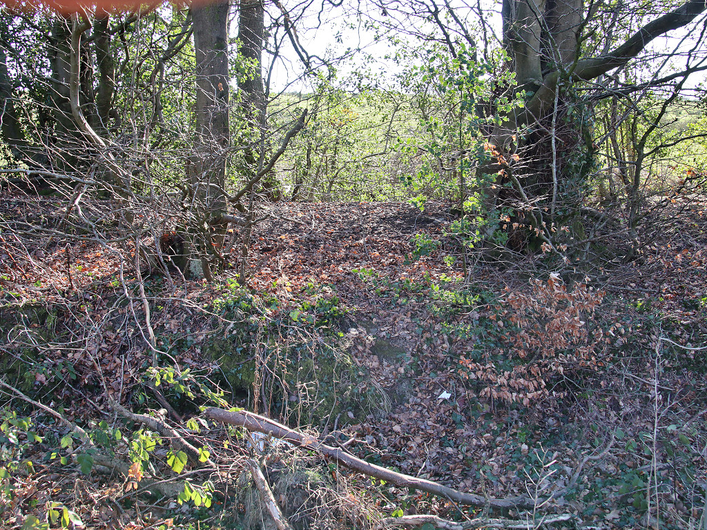
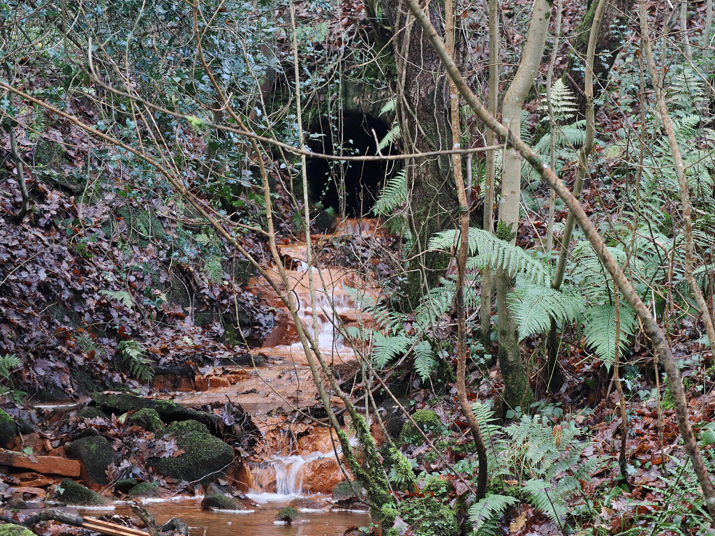 Culvert under the TVER at Cwm Dows |
 Culvert under the TVER at Cwm Dows |
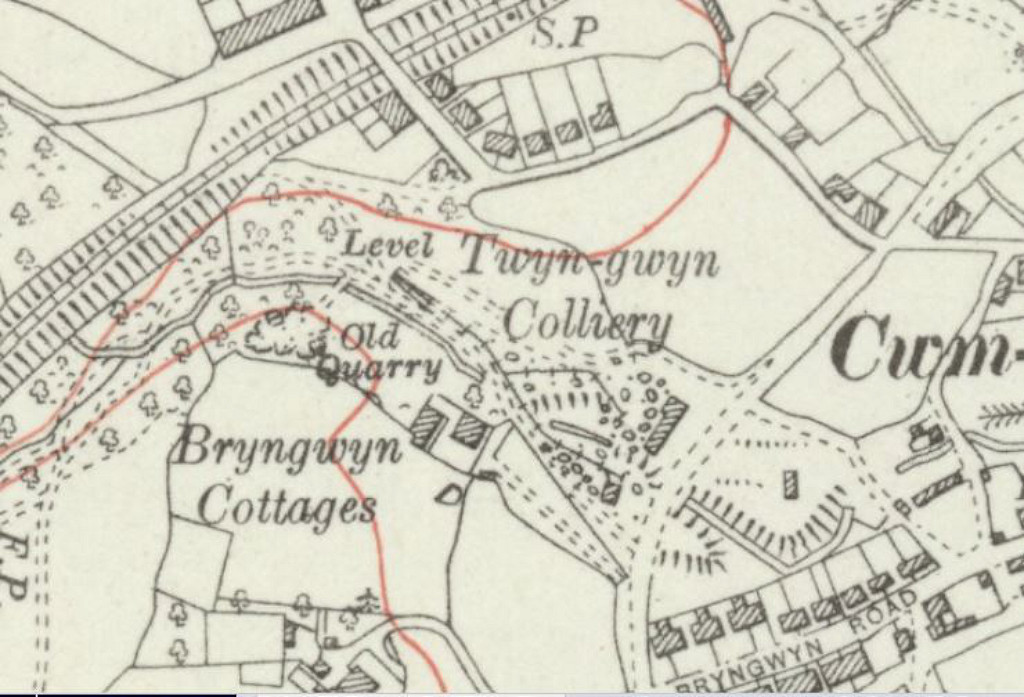
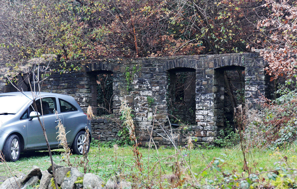
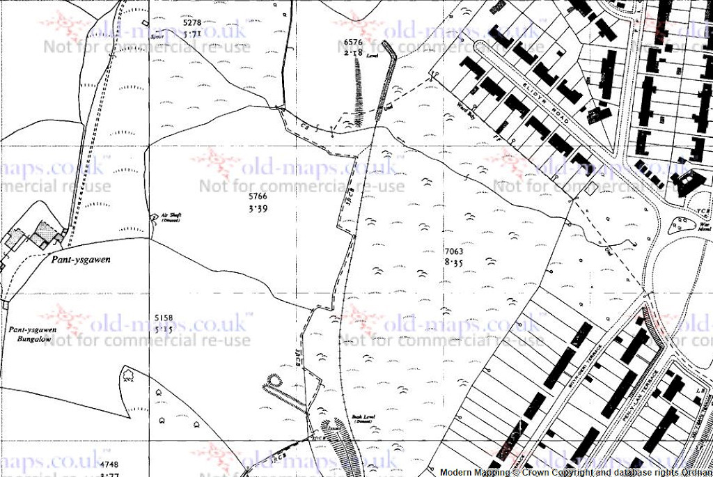
 Twyngwyn Colliery, 1901 |
 Twyngwyn Colliery loading bank |
 Twyngwyn Colliery loading bank |
 Twyngwyn Colliery loading bank |
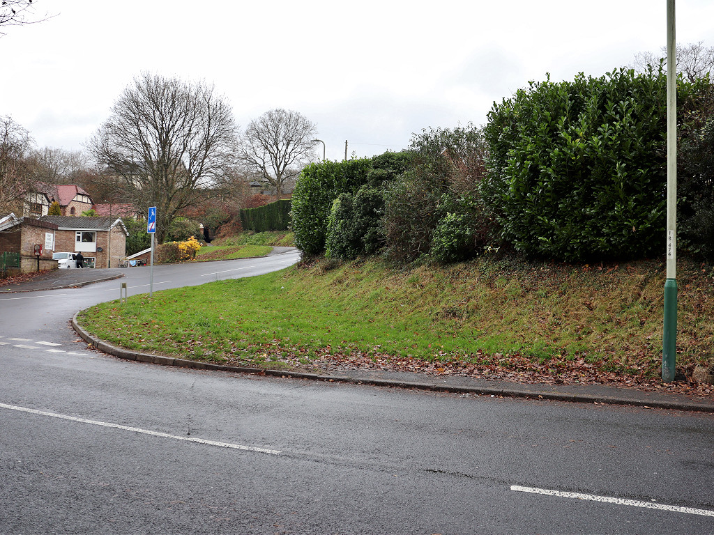
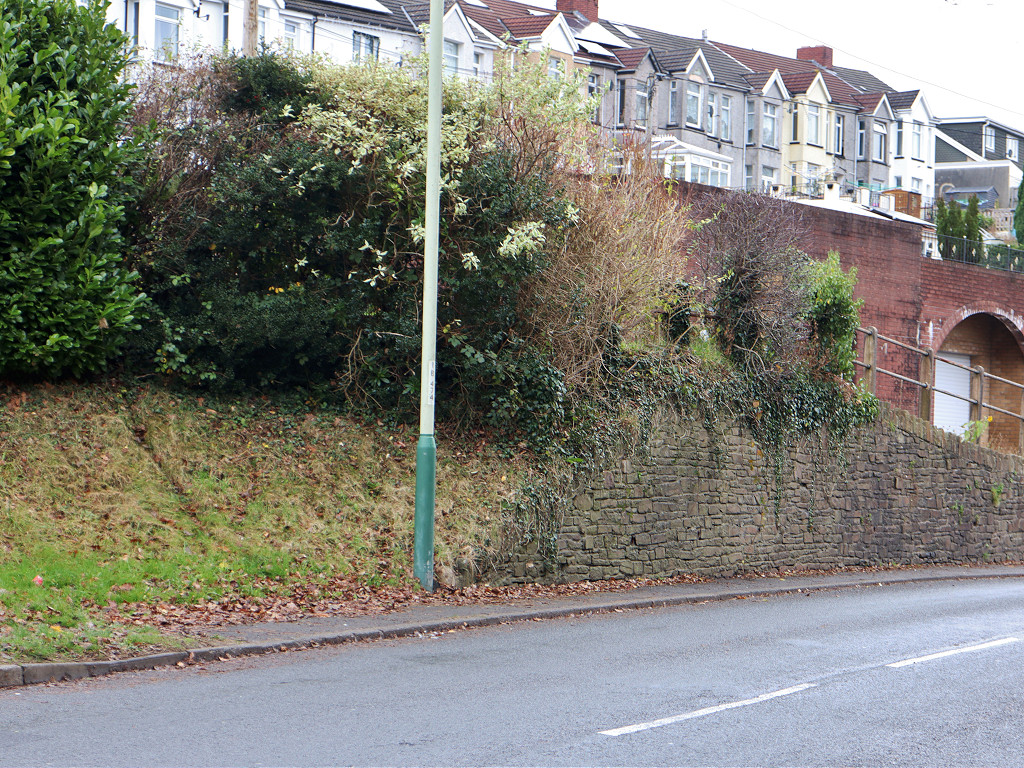
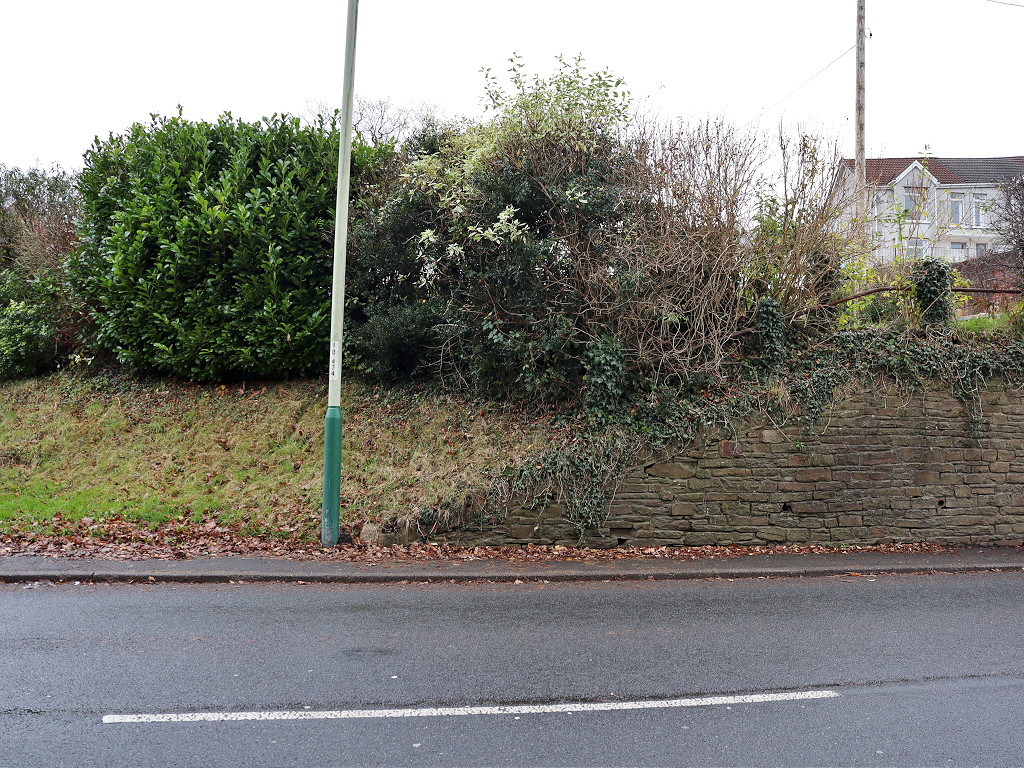
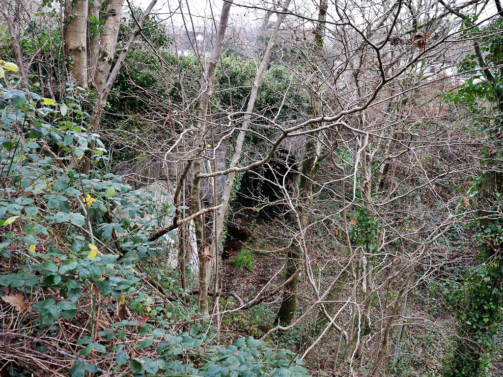
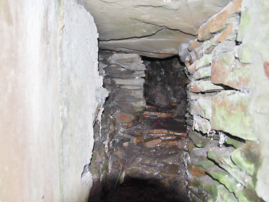
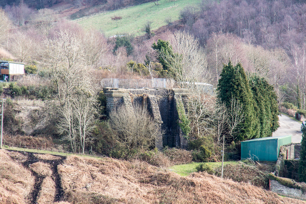
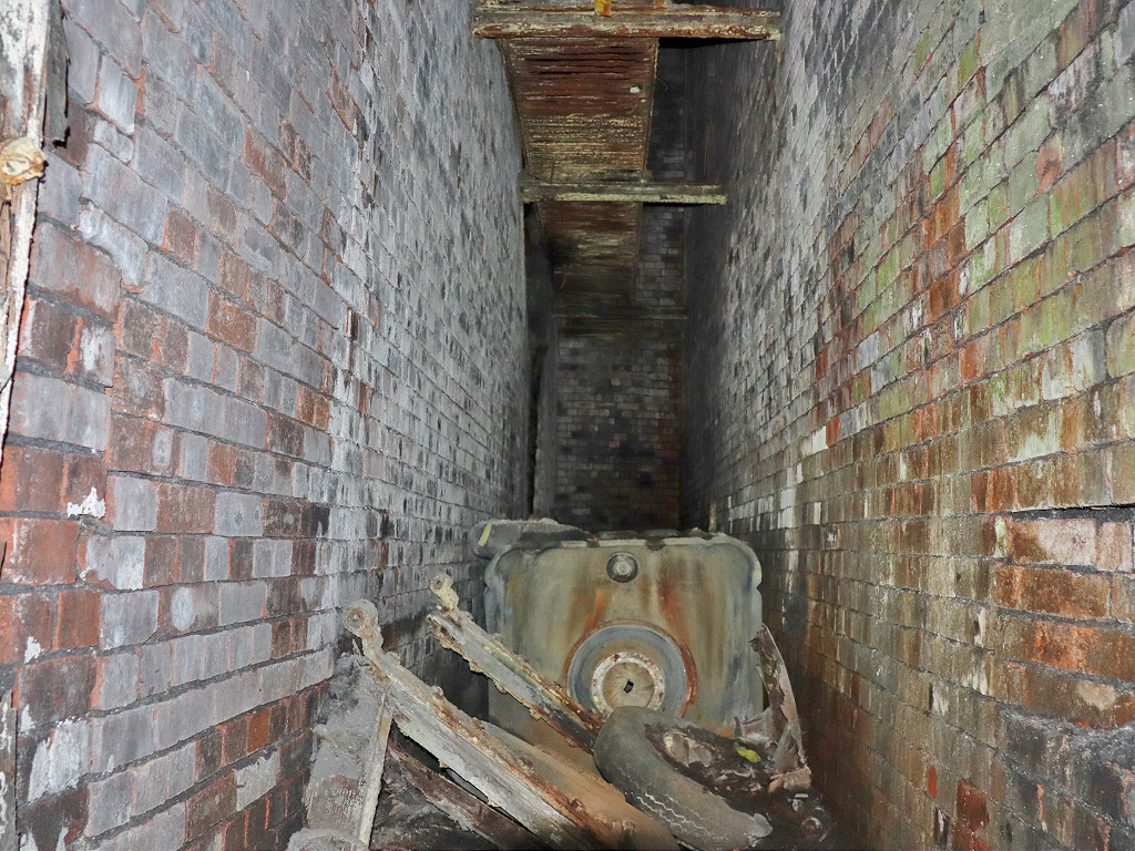
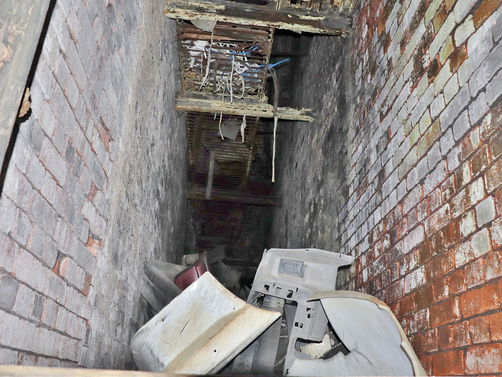
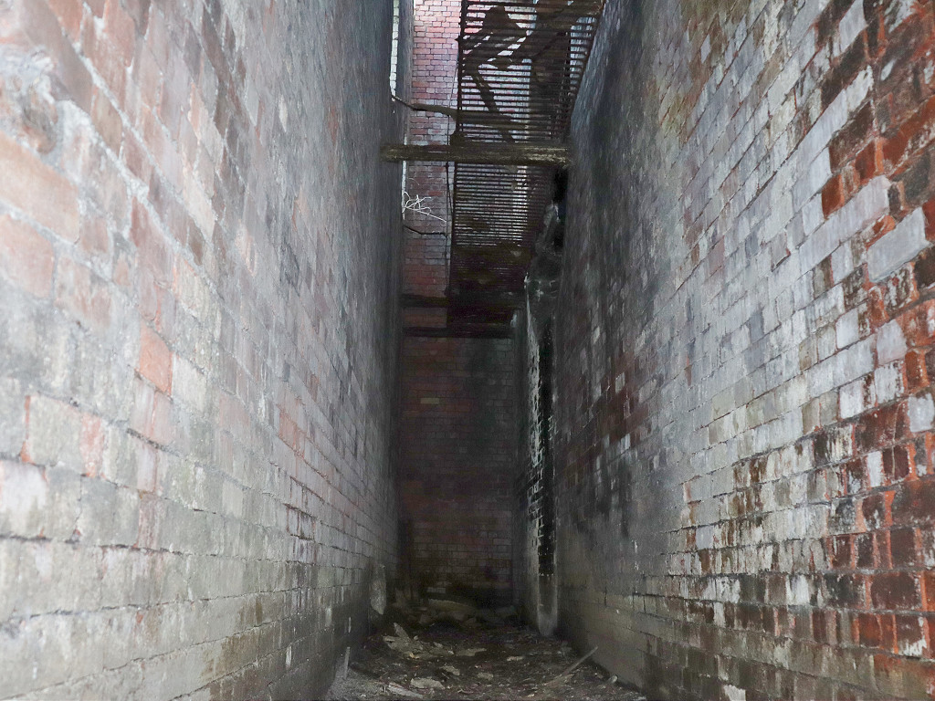
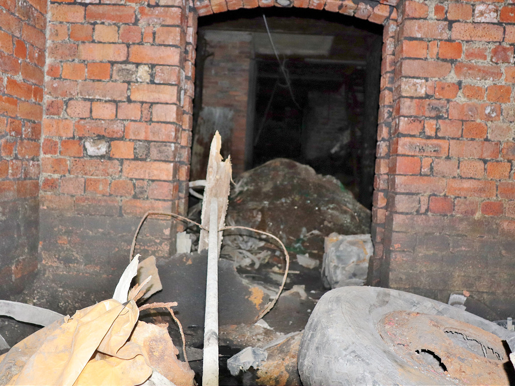
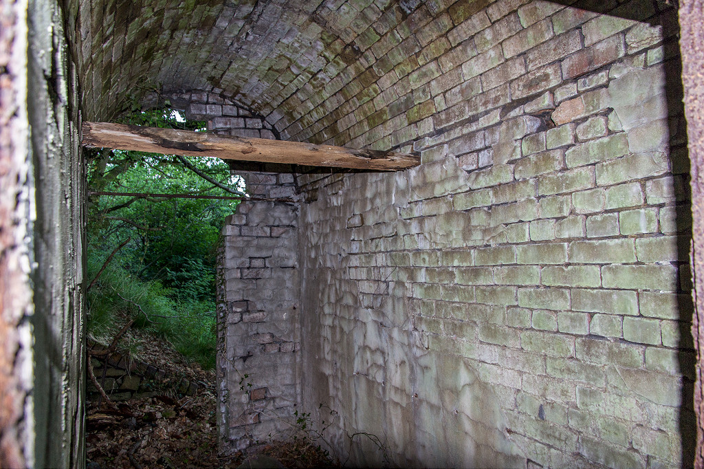
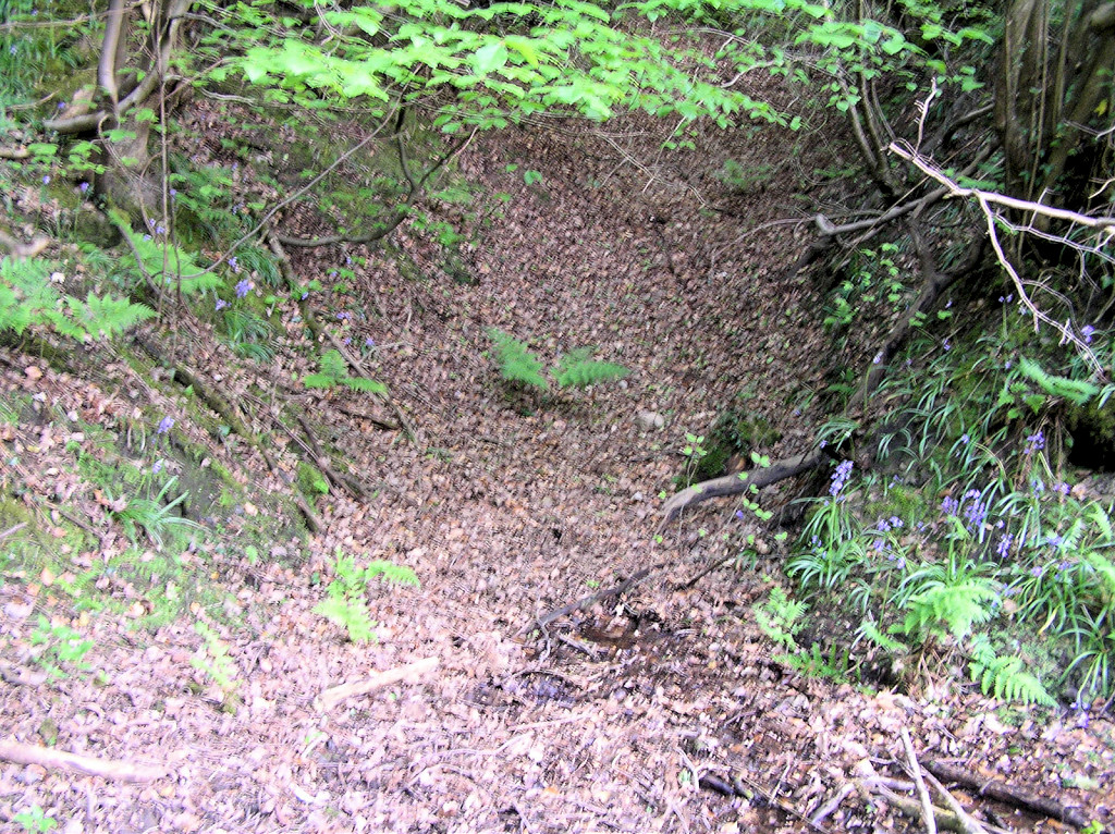
 Tramway tunnel under GWR |
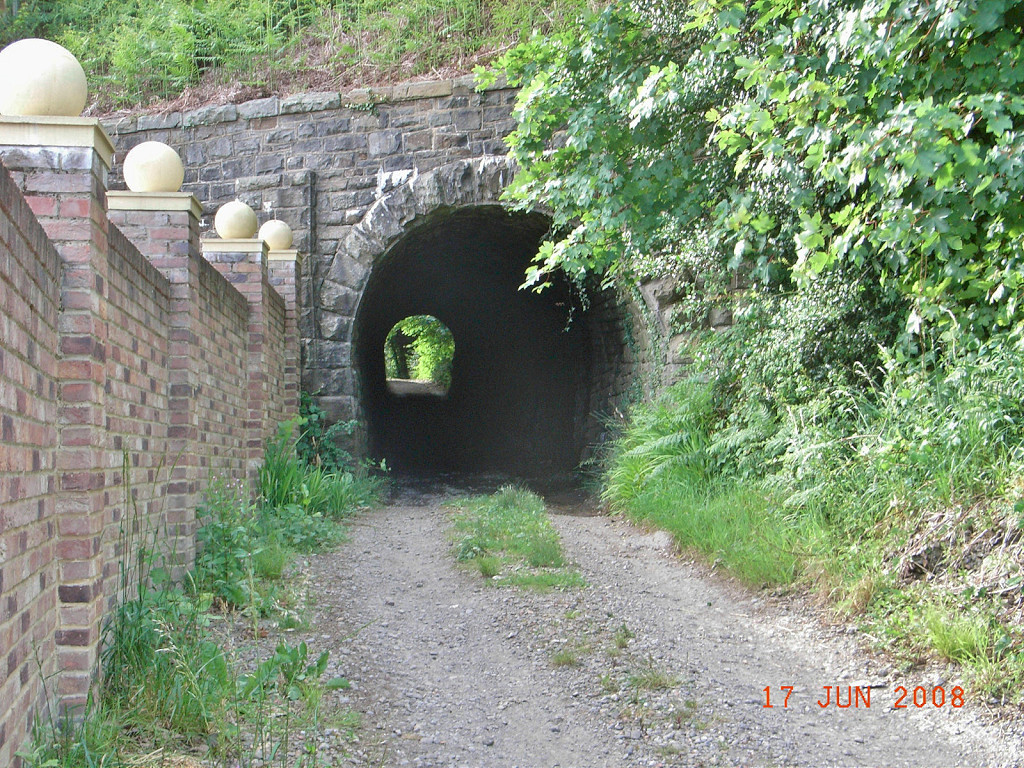 Tramway tunnel under GWR |
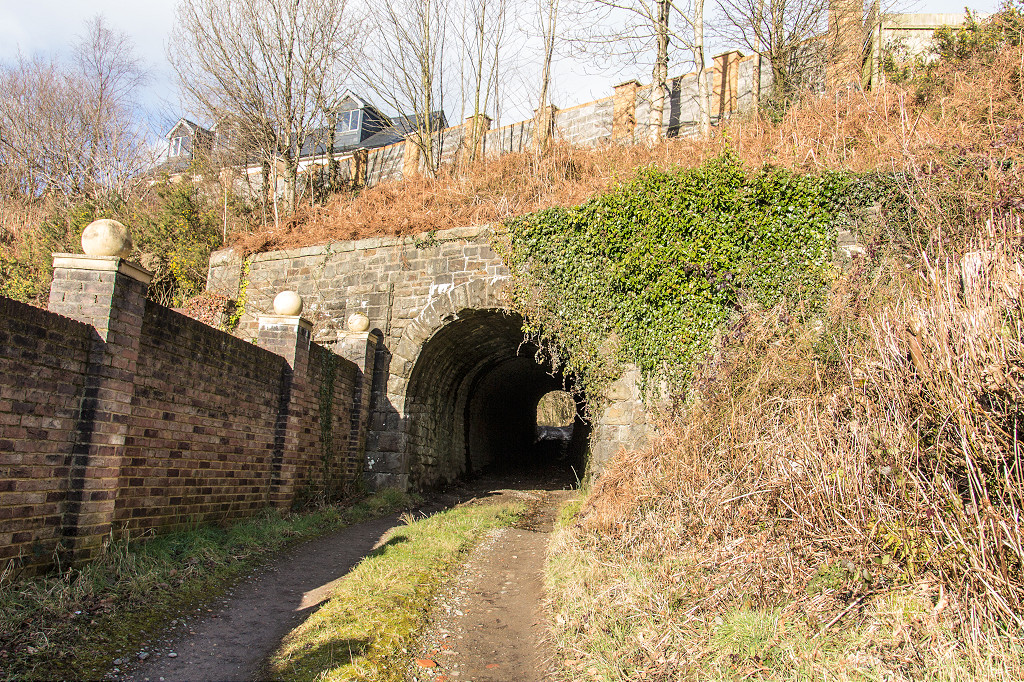 Tramway tunnel under GWR |
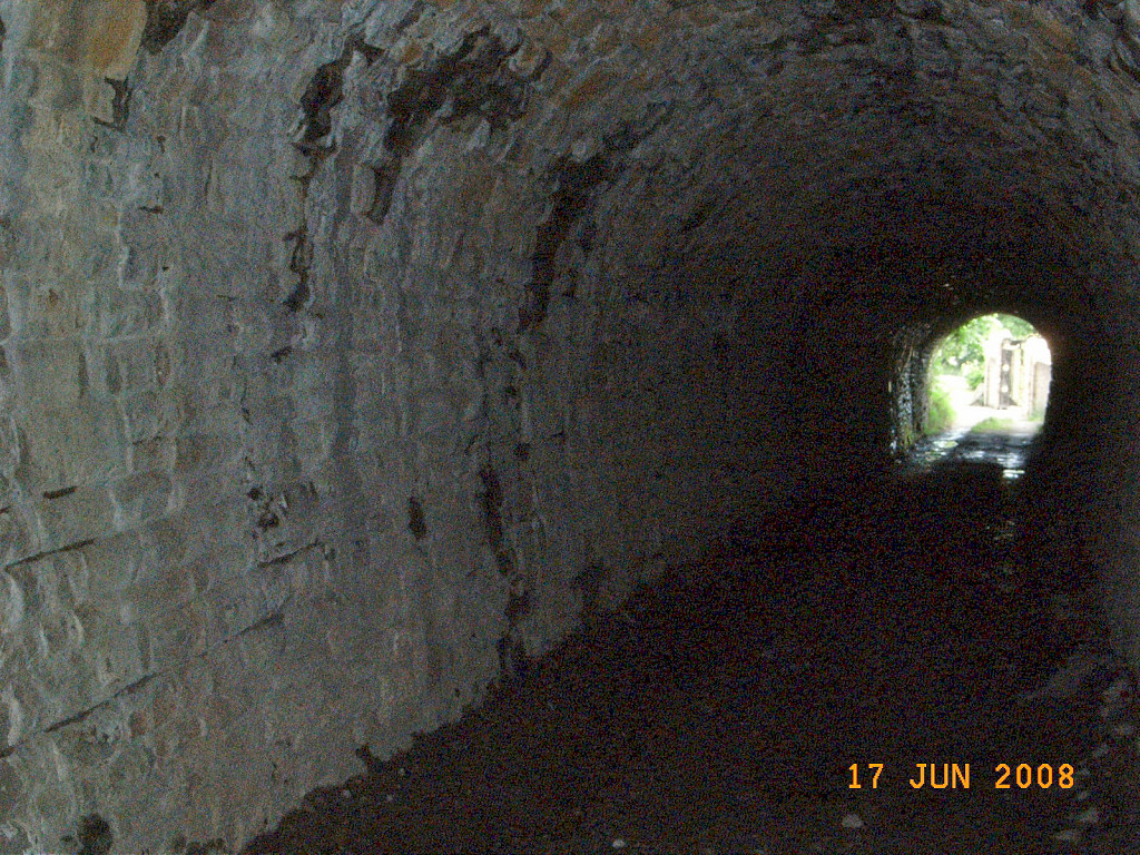 Tramway tunnel under GWR |
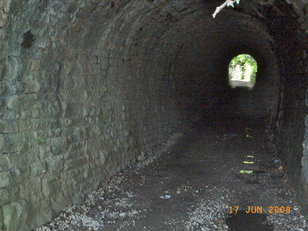 Tramway tunnel under GWR |
 Tramway tunnel under GWR |
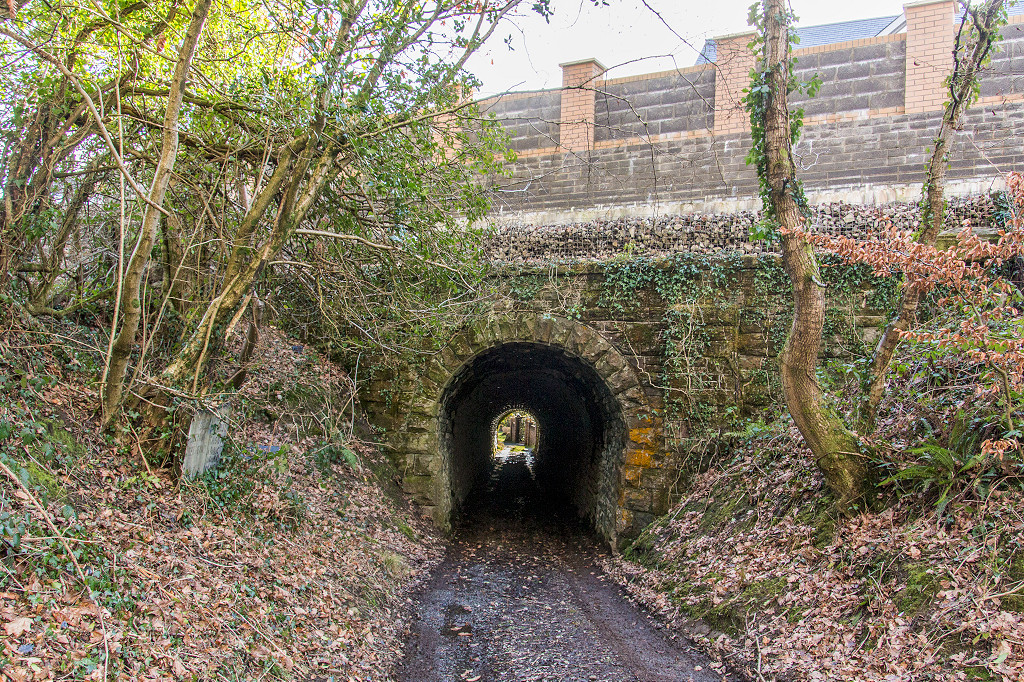 Tramway tunnel under GWR |
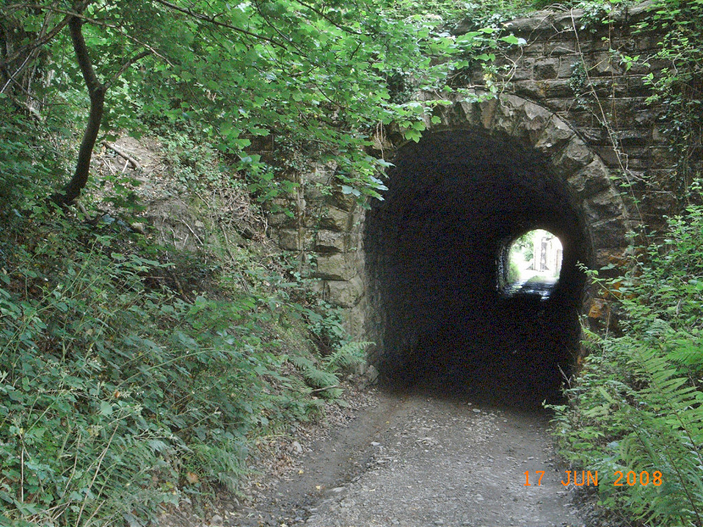 Tramway tunnel under GWR |
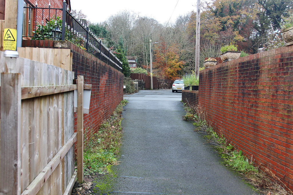
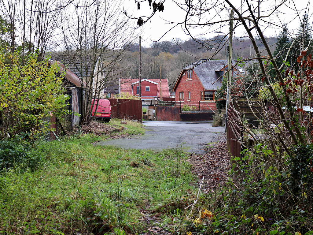
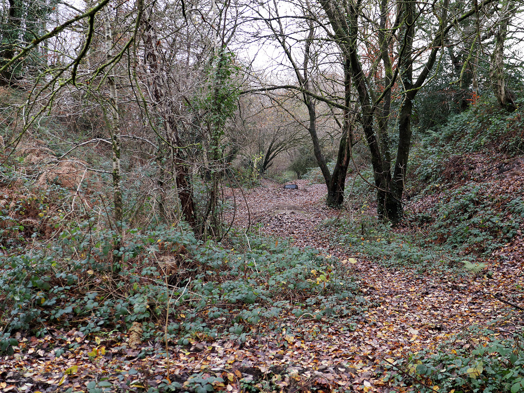
 The site of Twyngwyn Colliery |
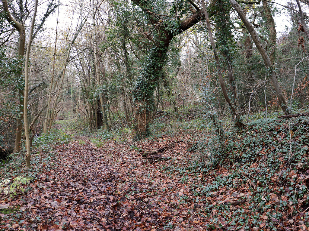
 Workings near Twyngwyn Colliery |
 Workings near Twyngwyn Colliery |
 Workings near Twyngwyn Colliery |
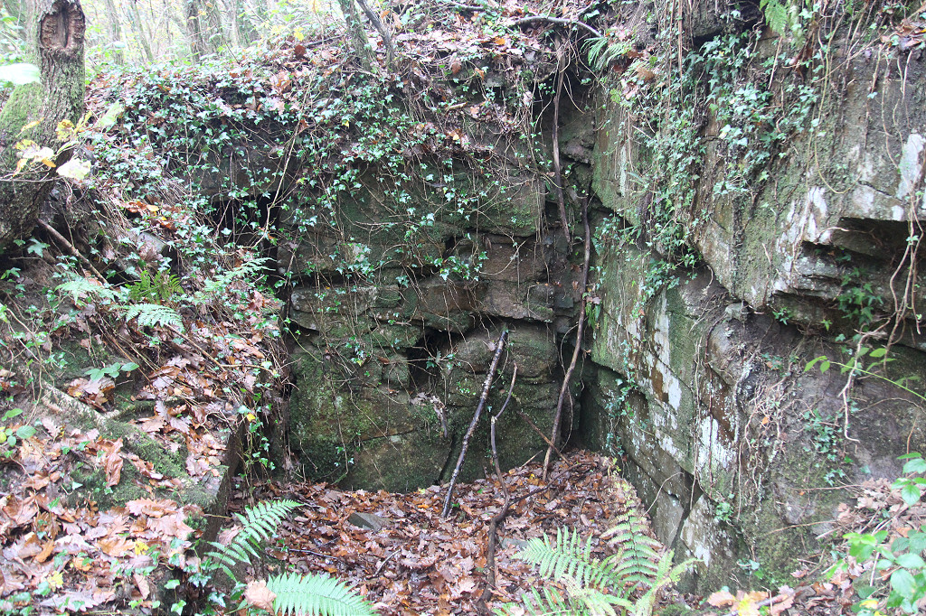
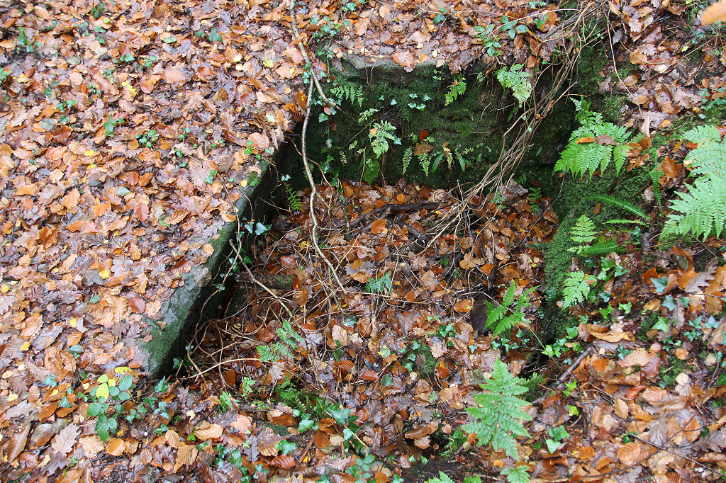 Trial shaft near Twyngwyn Colliery |
 Trial shaft near Twyngwyn Colliery |
 Trial shaft near Twyngwyn Colliery |
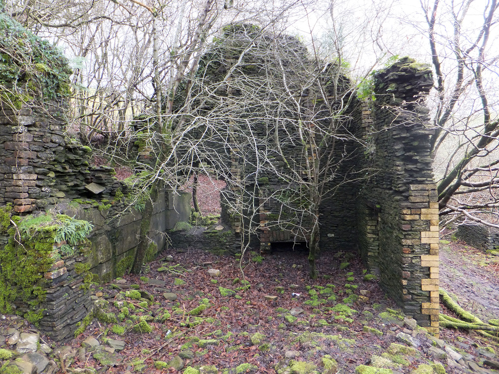
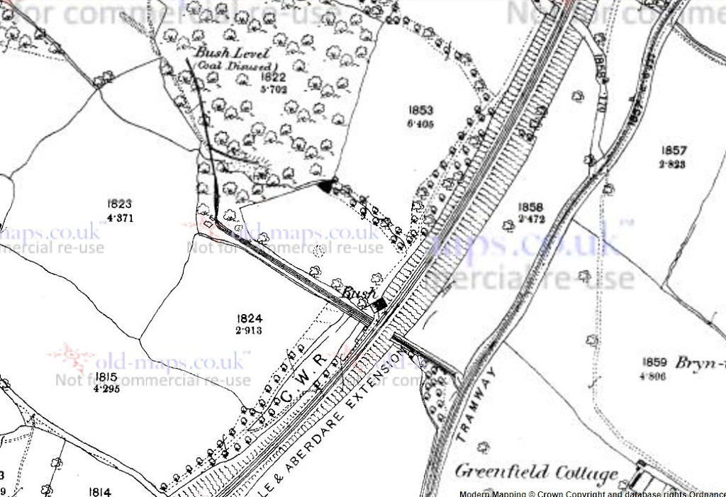 Bush Colliery, 1879 |
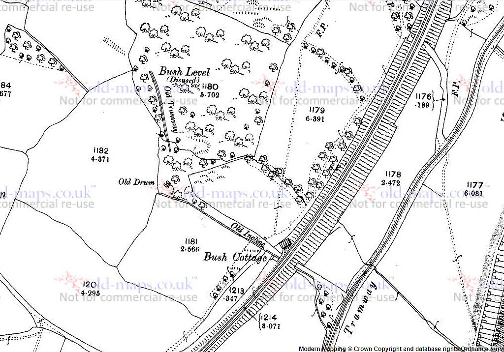 Bush Colliery, 1901 |
 Bush Colliery, 1962 |
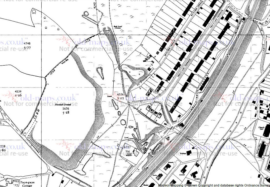 Bush Colliery, 1962 |
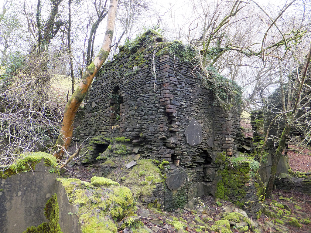
 Bush Colliery |
 Bush Colliery |
 Bush Colliery tramway |
 Bush Colliery tramway |
 Bush Colliery rail |
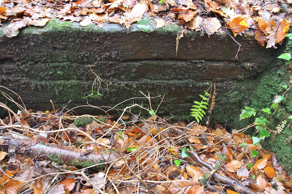
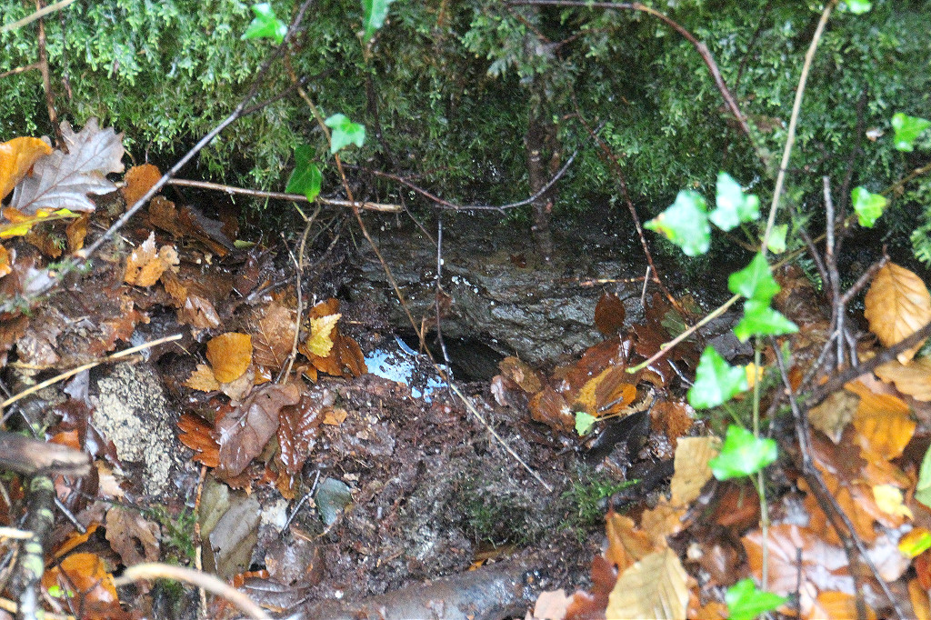
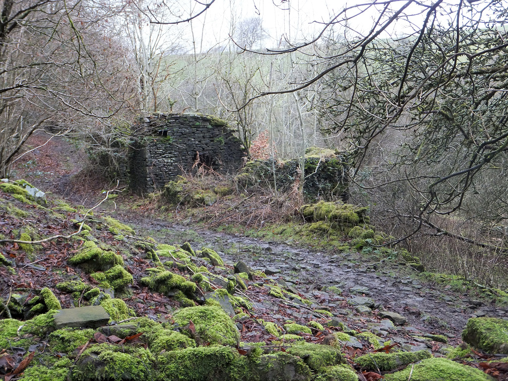
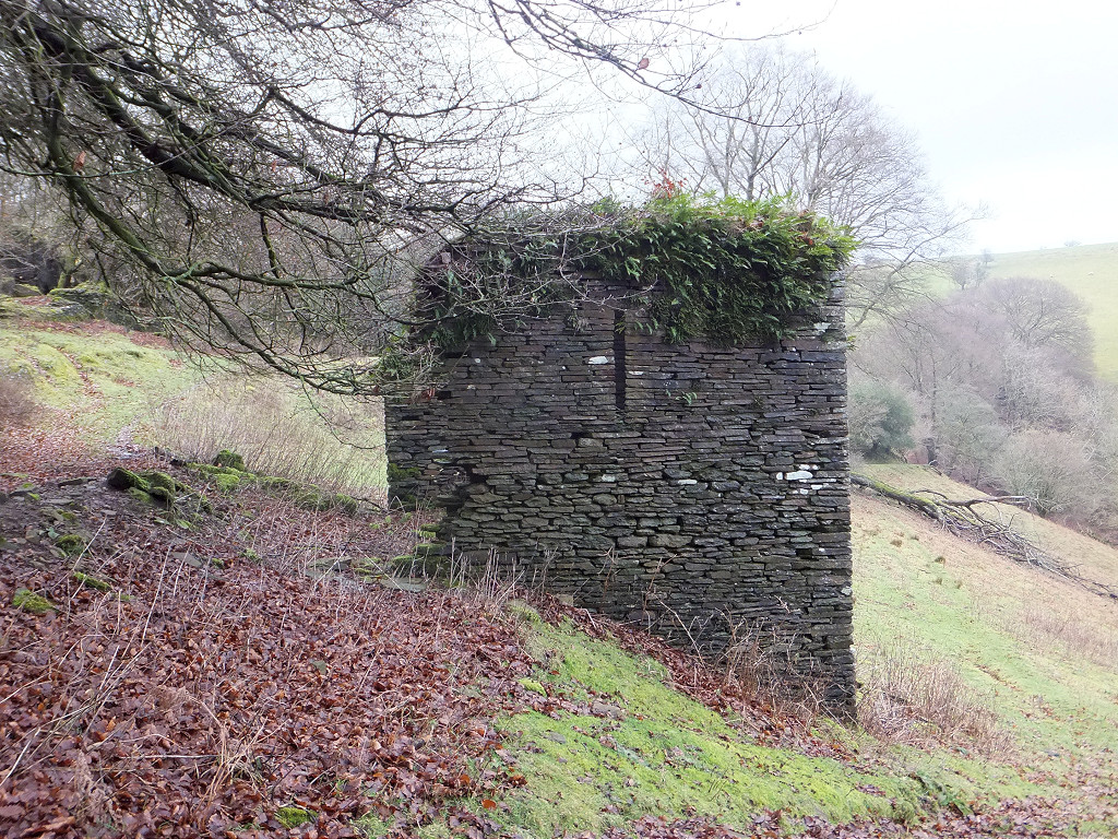
 Bush Colliery incline |
 Bush Colliery incline |
 Bush Colliery incline |
 Bush Colliery incline |
 Bush Colliery incline |
 Bush Colliery incline |
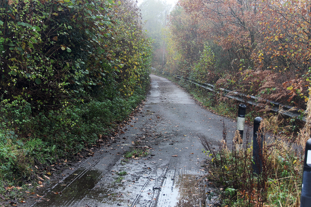
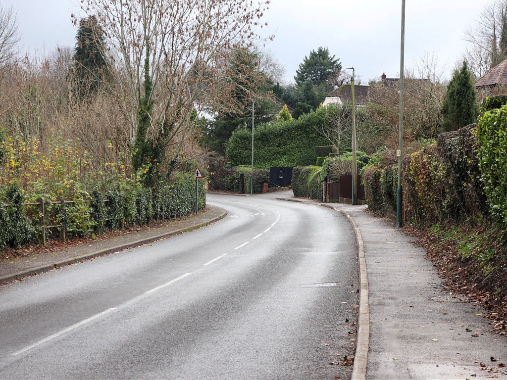
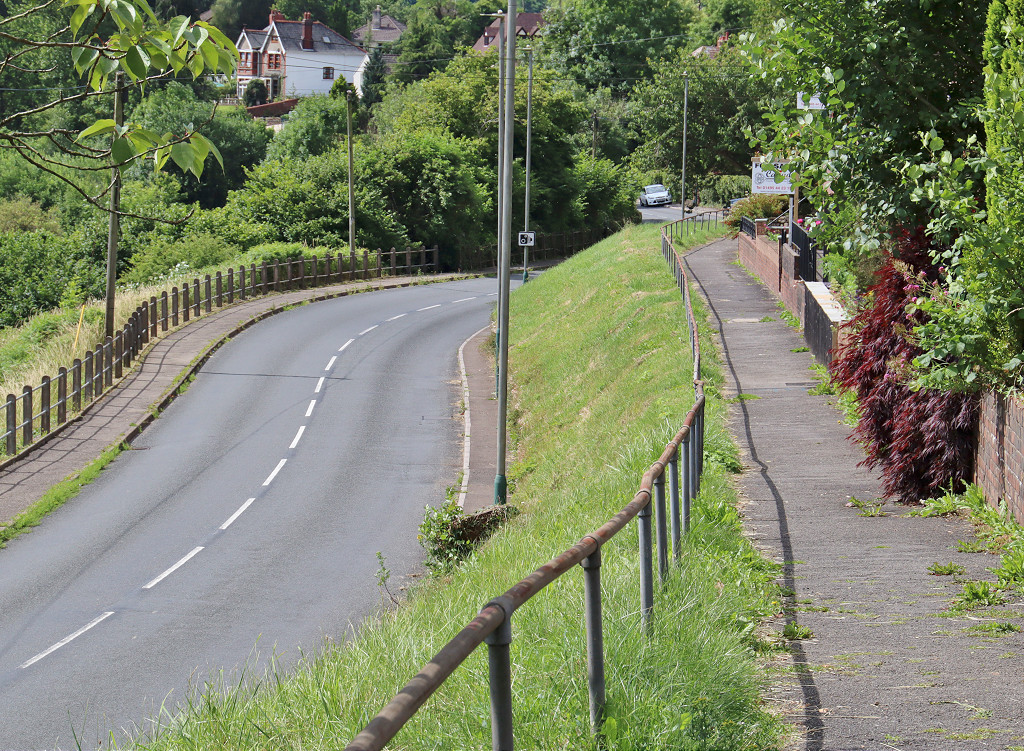
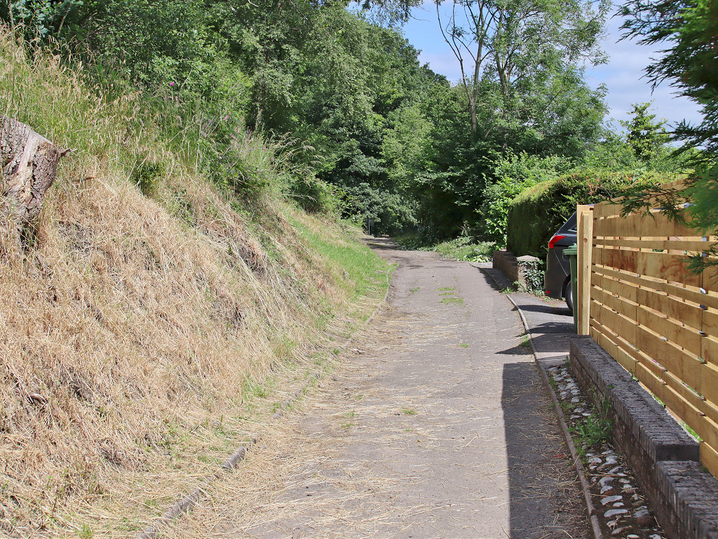
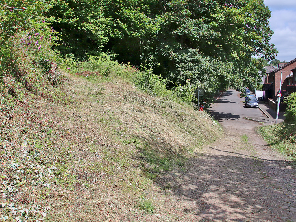
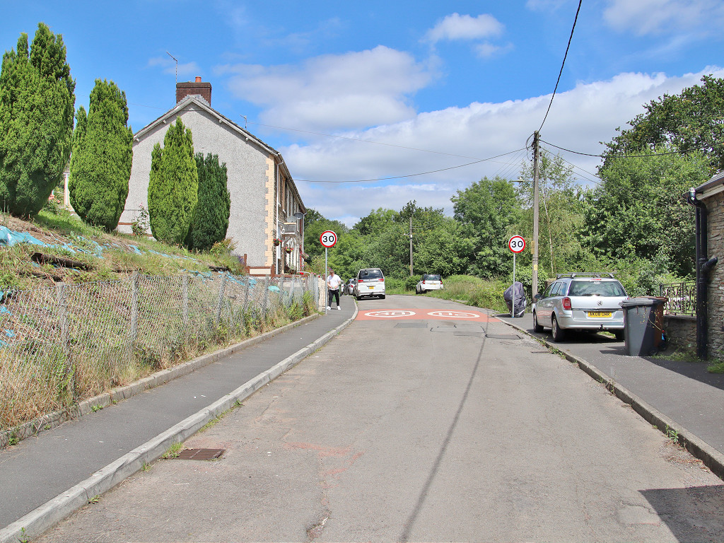
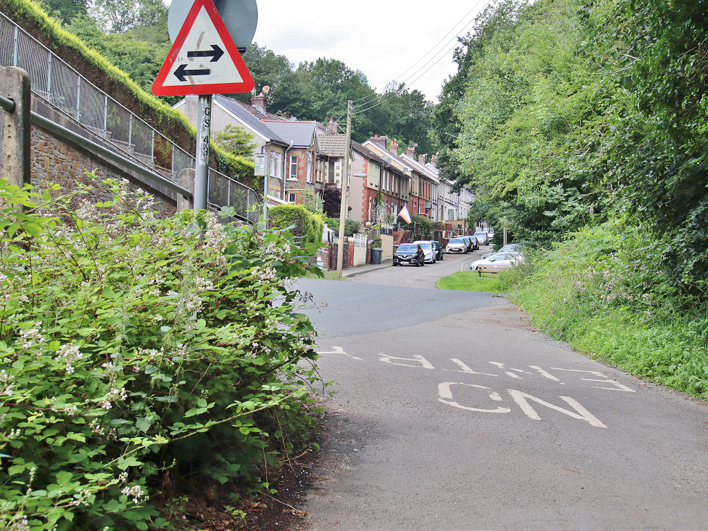
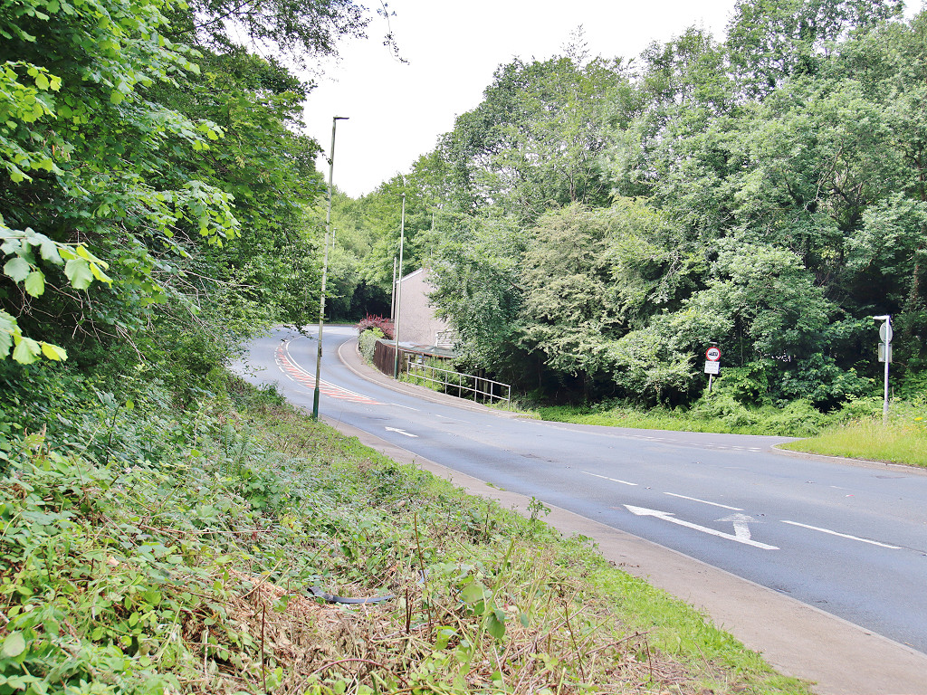
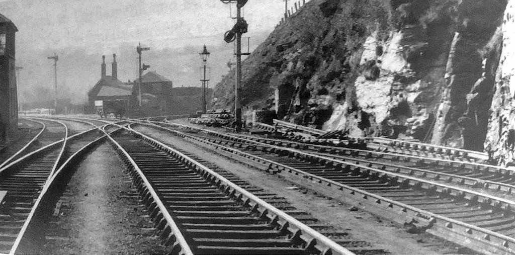
 The TVER at Pennar Lane |
 The TVER at Pennar Lane |
 The TVER at Pennar Lane |
 The TVER at Pennar Lane |
 The TVER at Pennar Lane |
 The TVER at Pennar Lane |
||
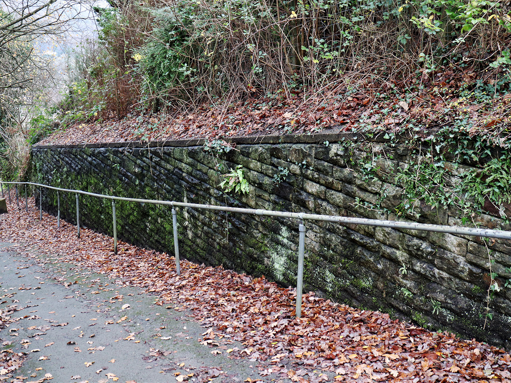
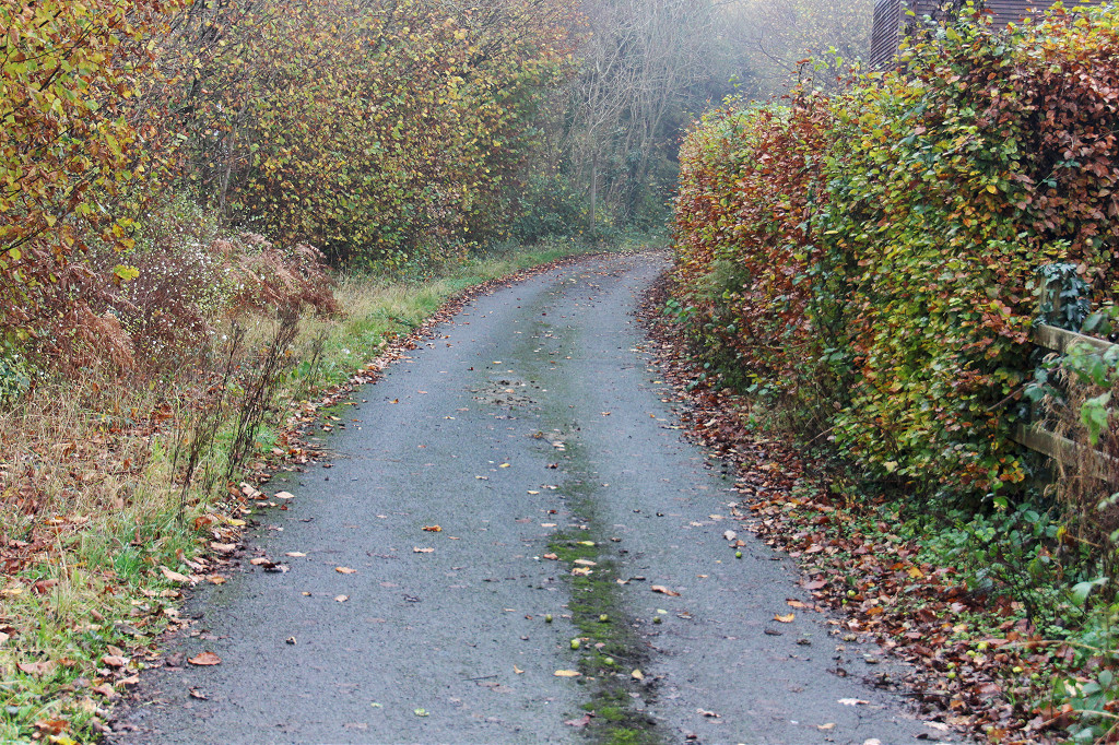
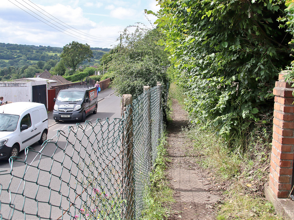
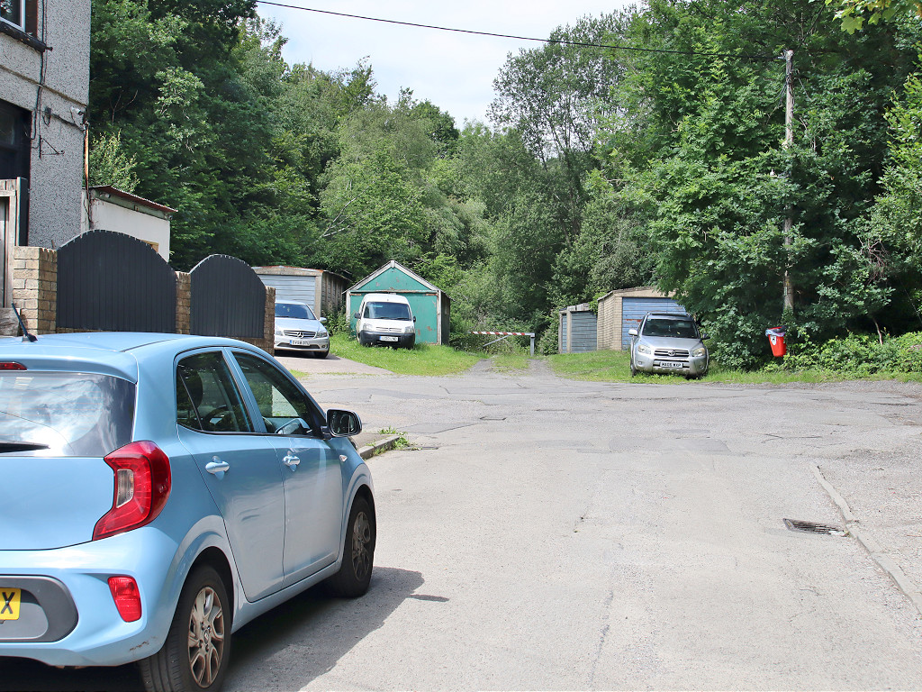
 The TVER at Treowen |
 The TVER at Treowen |
 The TVER at Treowen |
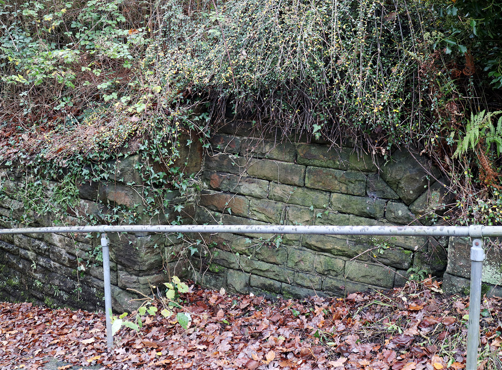
 Treowen Road bridge abutments |
 The TVER at Crumlin High Level |
 The TVER at Crumlin High Level |
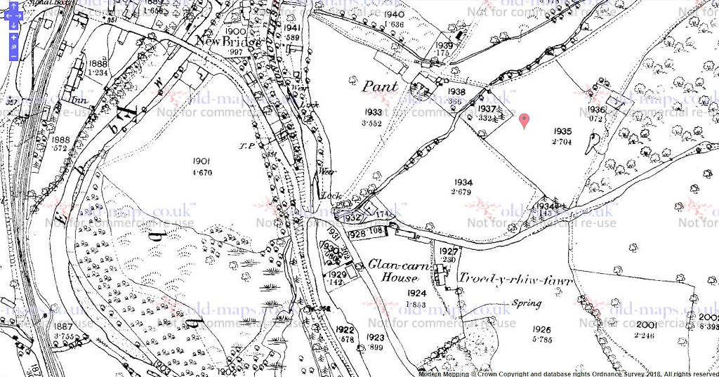 Pant Lane canal bridge, 1879 |
 Pant Lane canal bridge |
 Pant Lane canal bridge |
 Pant Lane canal bridge |
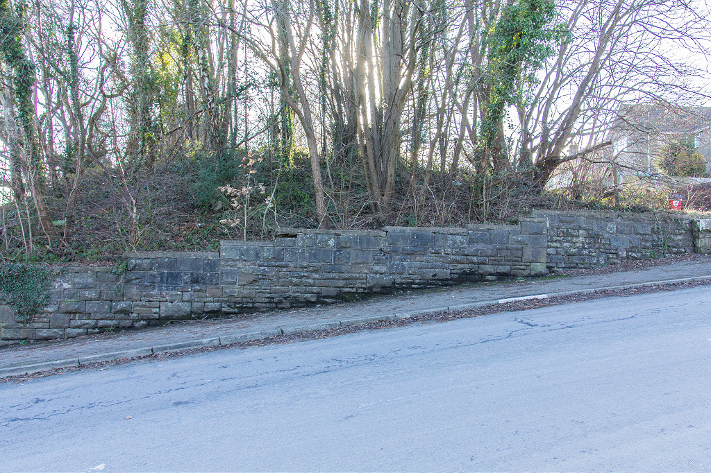
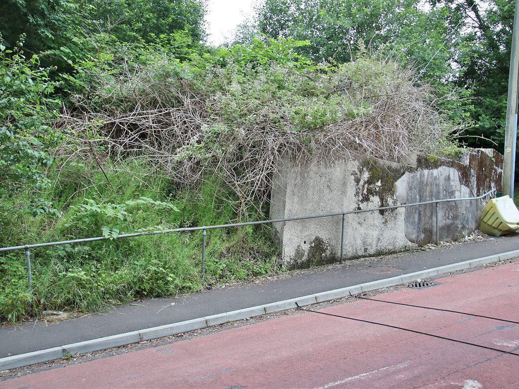
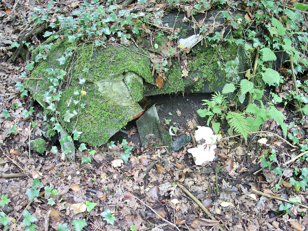
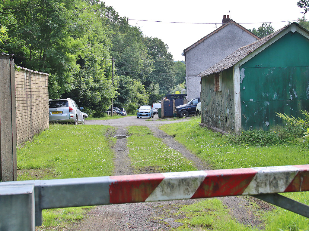
 Pennar Lane Pillbox |
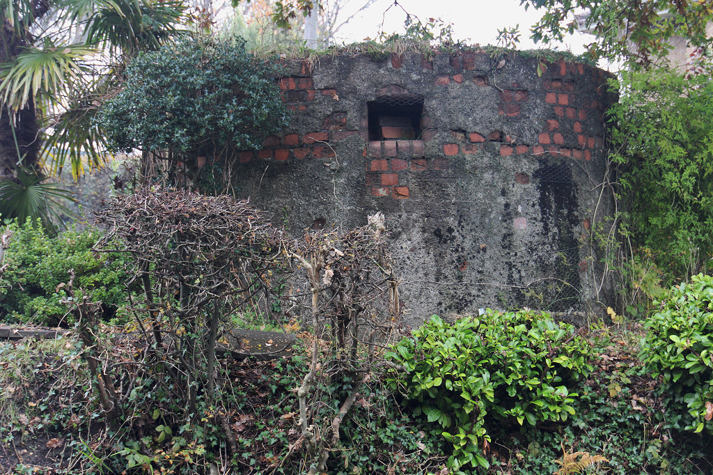 Pennar Lane Pillbox |
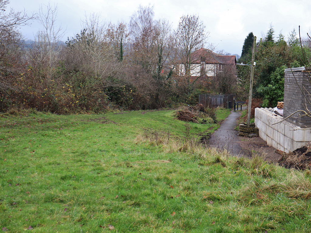
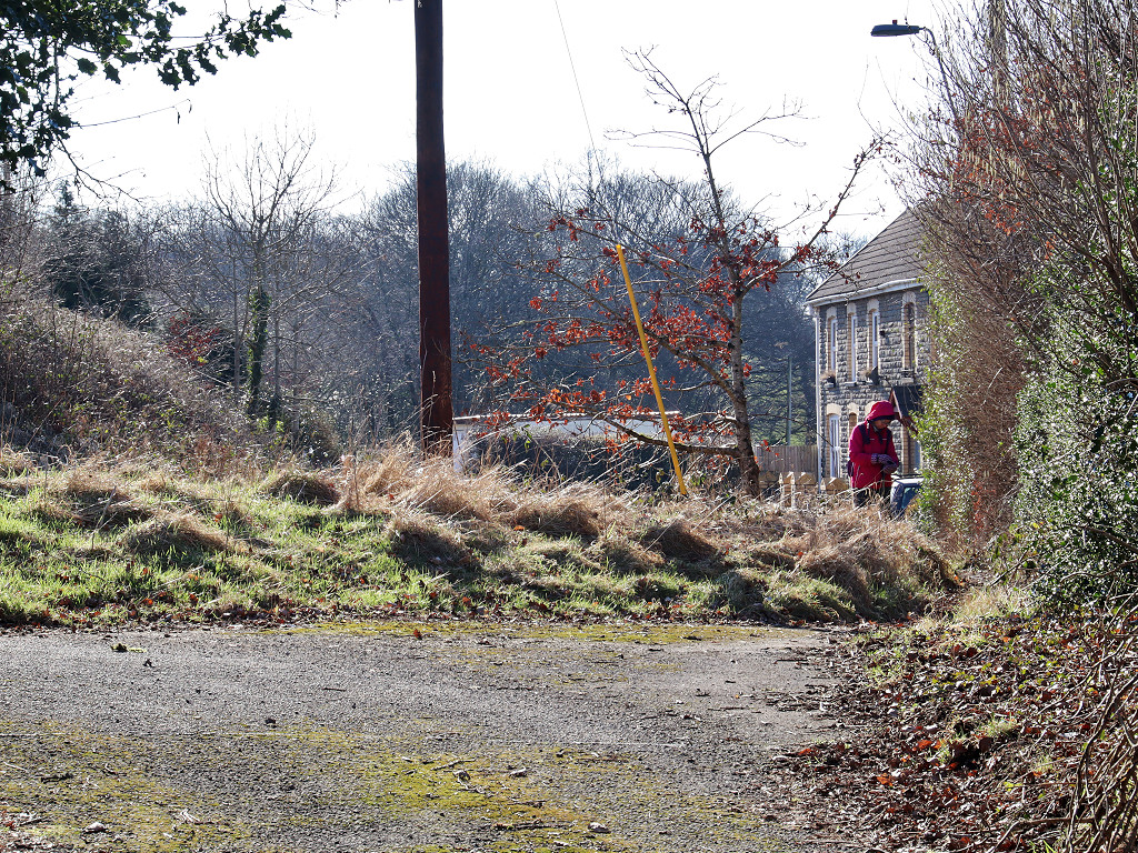
 Abercarn UDC Isolation Hospital |
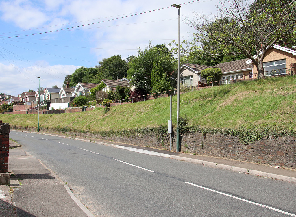
 Cefn-Rhos-y-Bedd Uchaf |
 Pen-rhiw-bica Junction |
 Pen-rhiw-bica Junction |
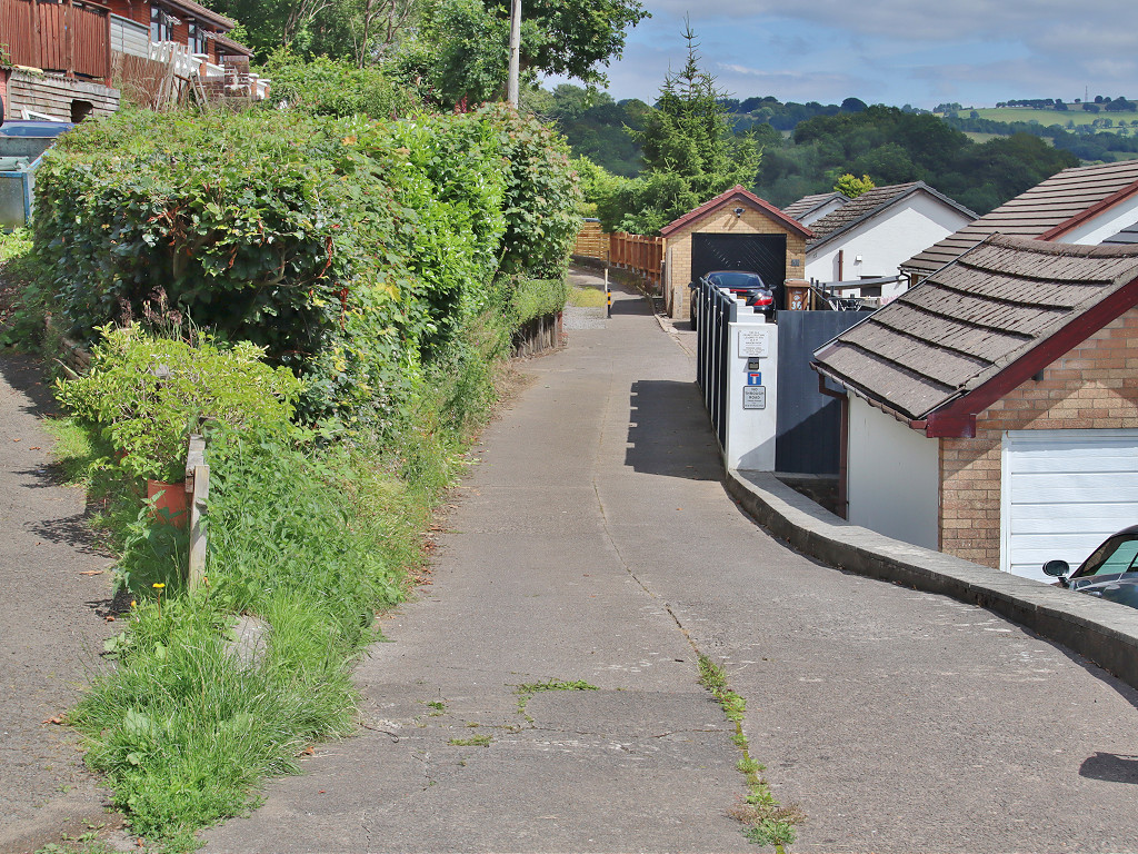
 Halls Road Kendon branch |
 Halls Road Kendon branch |
 Pen-rhiw-bica looking South |
 Pen-rhiw-bica looking South |
 Pen-rhiw-bica looking North |
 Pen-rhiw-bica looking North |
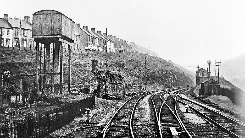
 Halls Road main line |
 Halls Road main line |
 Halls Road main line |
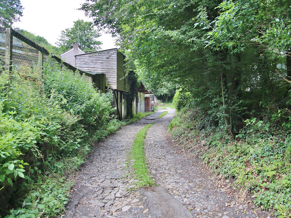
 Halls Road trackbed, Newbridge |
 Halls Road trackbed, Newbridge |
 Halls Road trackbed, Newbridge |
 Halls Road trackbed, Newbridge |
 Halls Road trackbed, Newbridge |
 Halls Road trackbed, Newbridge |
 Halls Road trackbed, Newbridge |
 Tunnel Terrace level crossing |
 Tunnel Terrace level crossing |
 Halls Road, Tunnel Terrace |
 Halls Road, Tunnel Terrace |
 Halls Road, Pennar Tunnel |
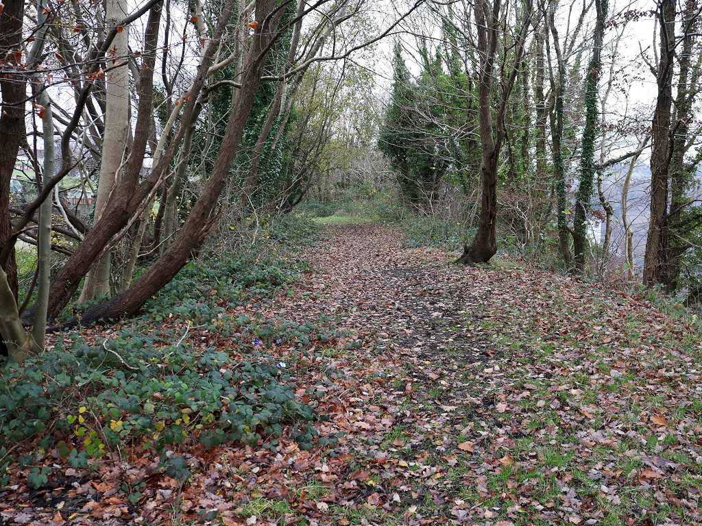
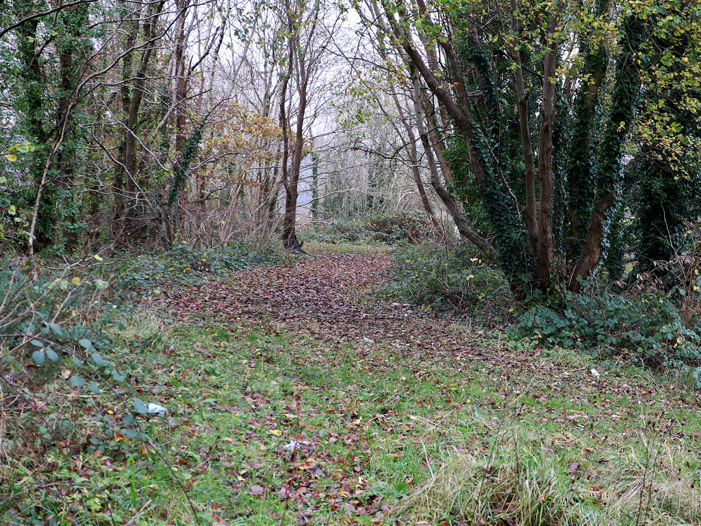
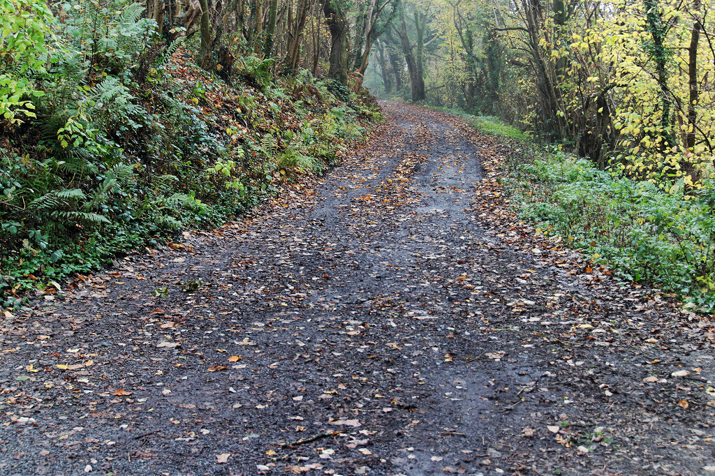
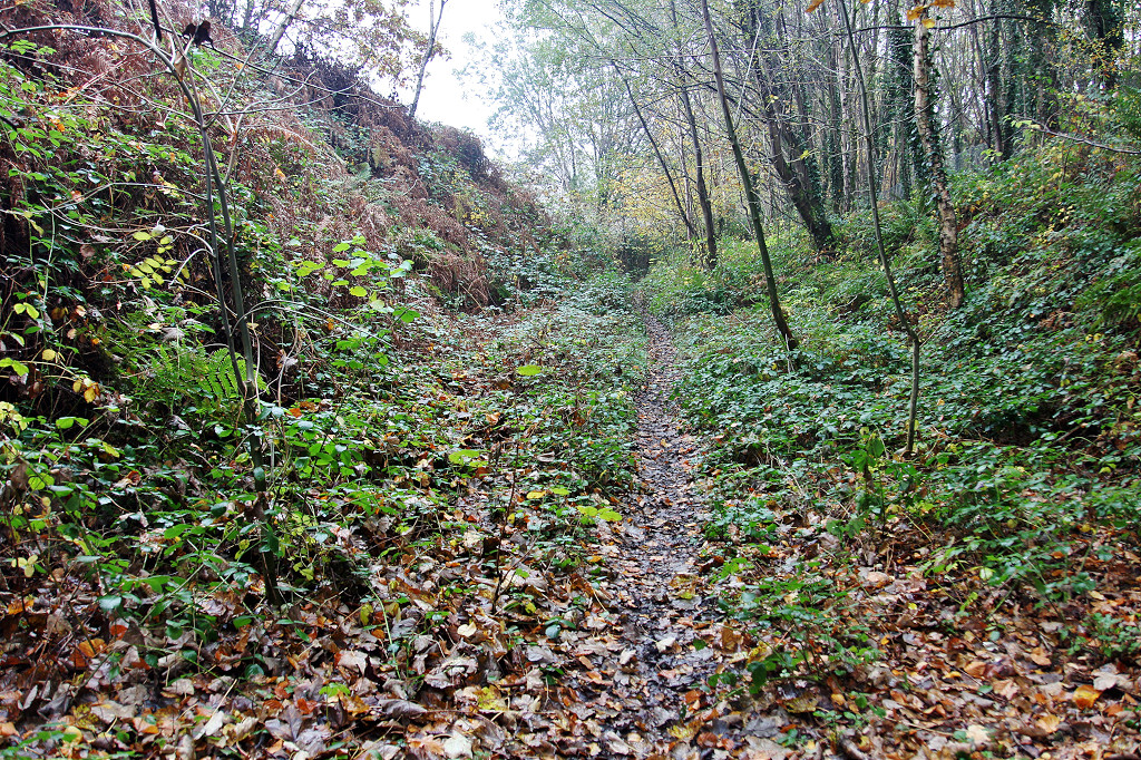
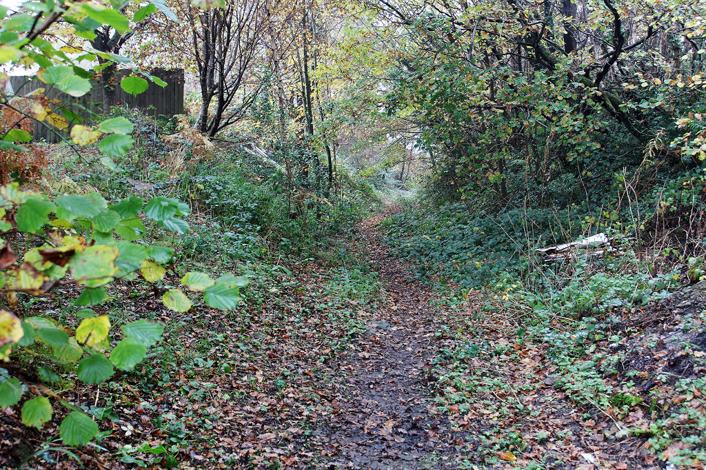
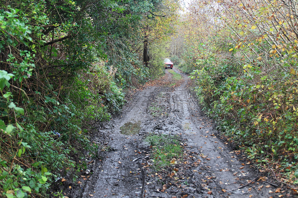
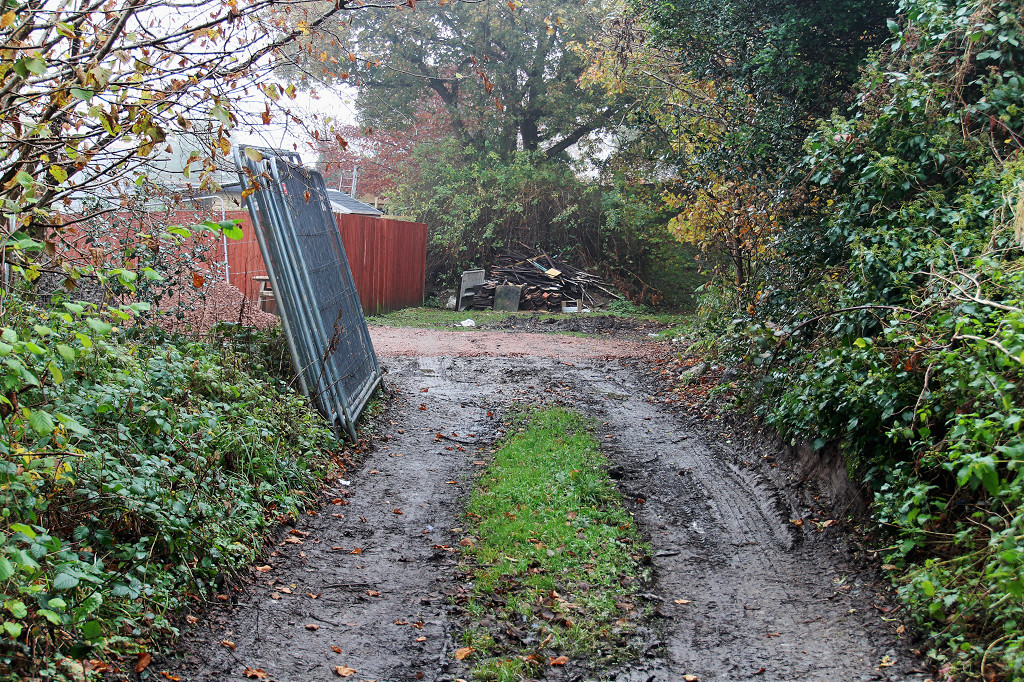
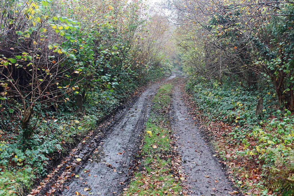
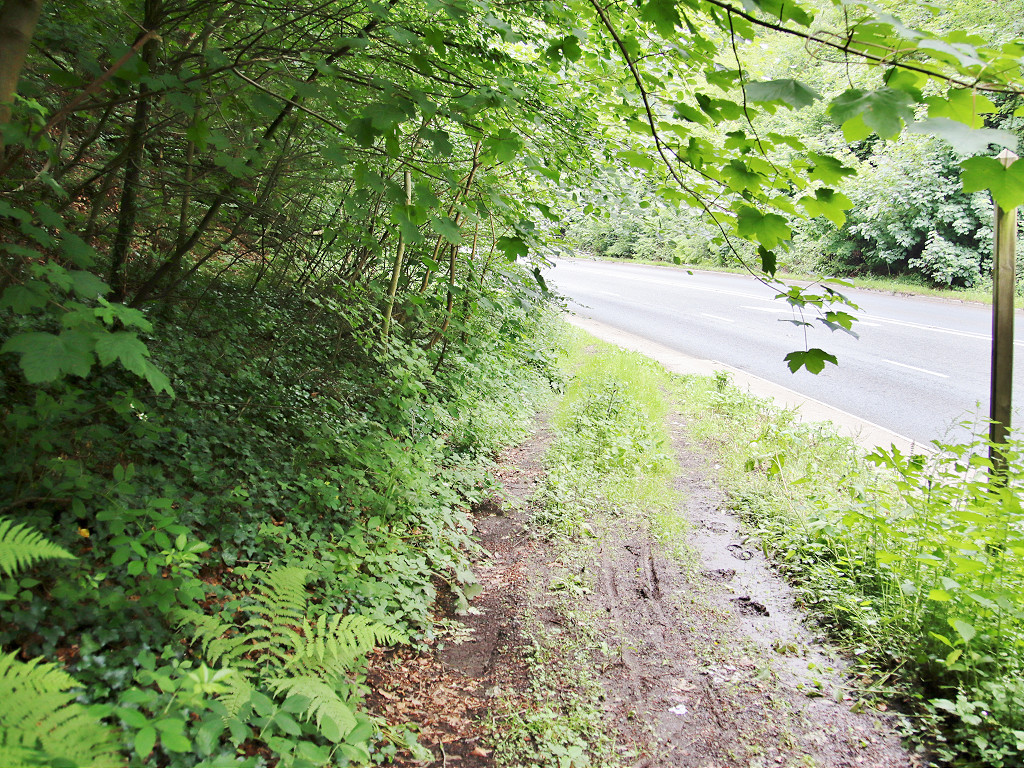
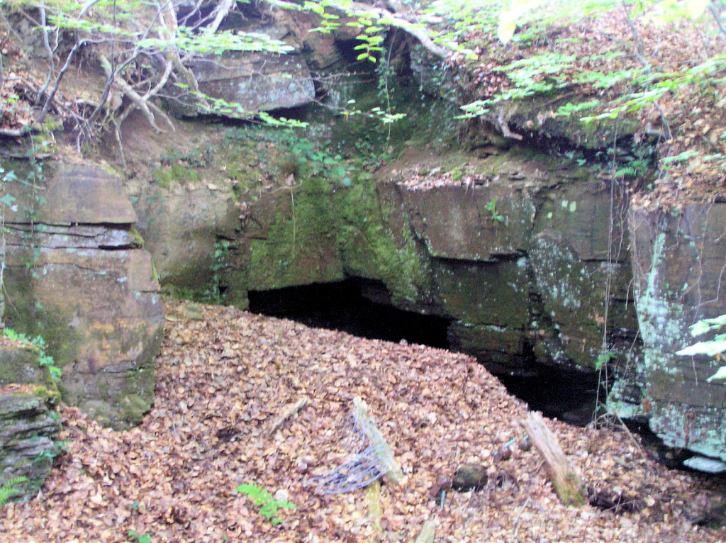
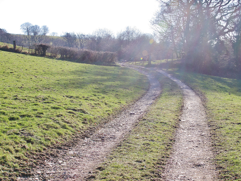
 The Kendon Tramroad |
 The Kendon Tramroad |
 The Kendon Tramroad |
 The Kendon Tramroad |
 The Kendon Tramroad |
 The Kendon Tramroad |
 The Kendon Tramroad |
 The Kendon Tramroad |
 The Kendon Tramroad |
 The Kendon Tramroad |
 The Kendon Tramroad |
 The Kendon Tramroad |
 The Kendon Tramroad |
 The Kendon Tramroad |
 The Kendon Tramroad |
 The Kendon Tramroad |
 The Kendon Tramroad |
 The Kendon Tramroad |
 The Kendon Tramroad |
 The Kendon Tramroad |
 The Kendon Tramroad |
 The Kendon Tramroad |
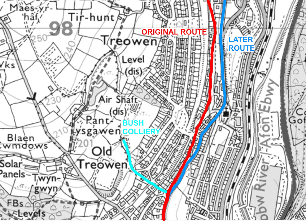
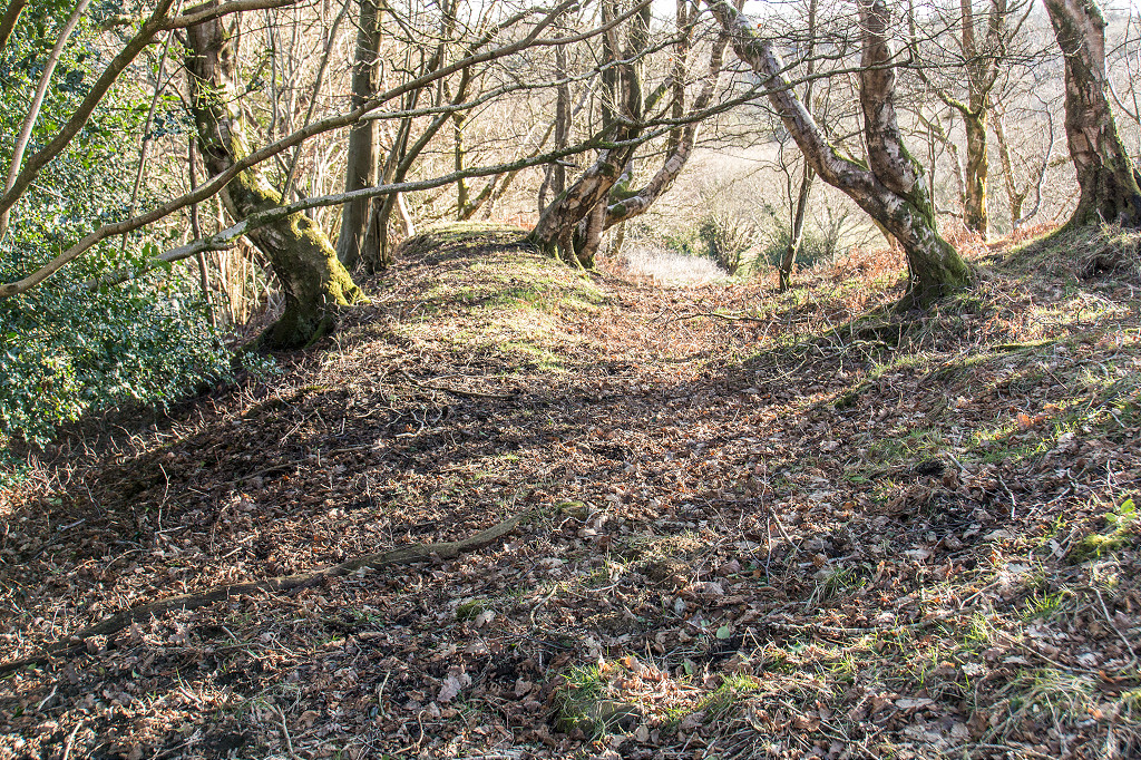
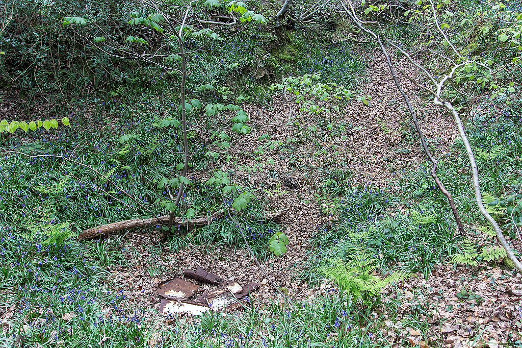
 Original Kendon Tramroad |
 Original Kendon Tramroad |
 Original Kendon Tramroad |
 Original Kendon Tramroad |
 Original Kendon Tramroad |
 Original Kendon Tramroad |
 Original Kendon Tramroad |
 Original Kendon Tramroad |
 Original Kendon Tramroad |
 Original Kendon Tramroad |
 Original Kendon Tramroad |
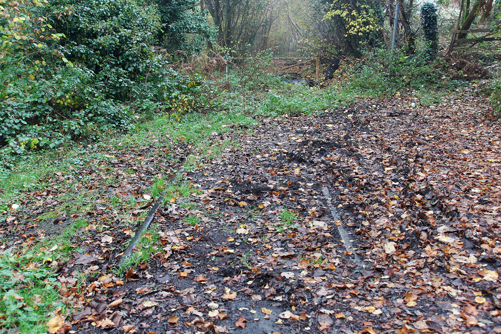
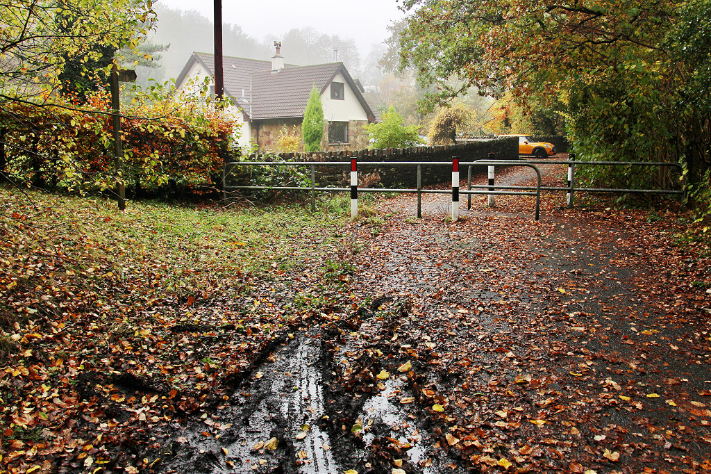
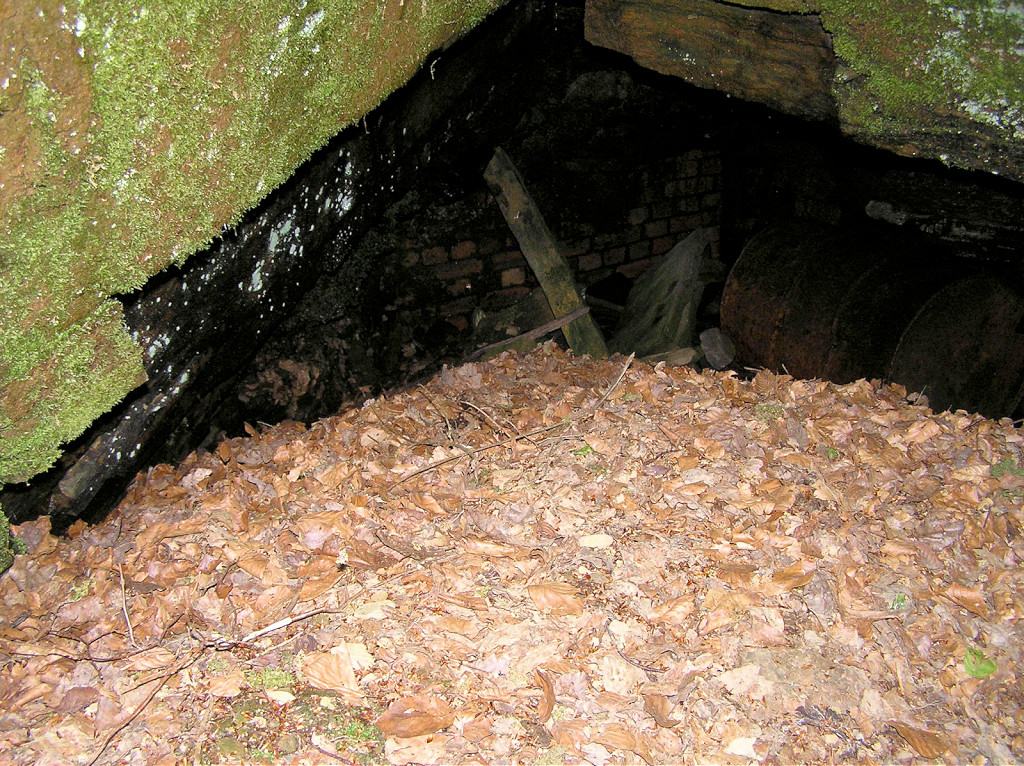
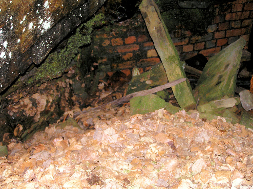
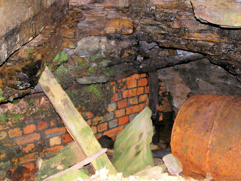
 Culvert or drainage level |
 Culvert or drainage level |
 Original Kendon Tramroad |
 Original Kendon Tramroad |
 Original Kendon Tramroad |
 Original Kendon Tramroad |
 Original Kendon Tramroad |
 Original Kendon Tramroad |
|
 Original Kendon Tramroad |
 Original Kendon Tramroad |
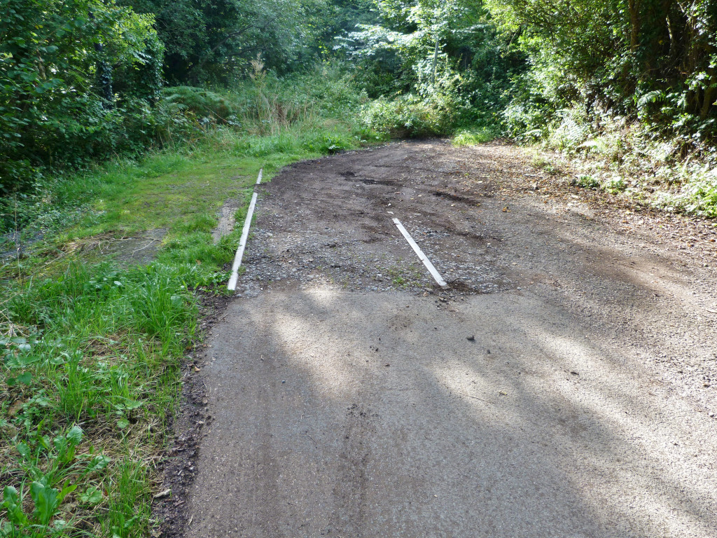
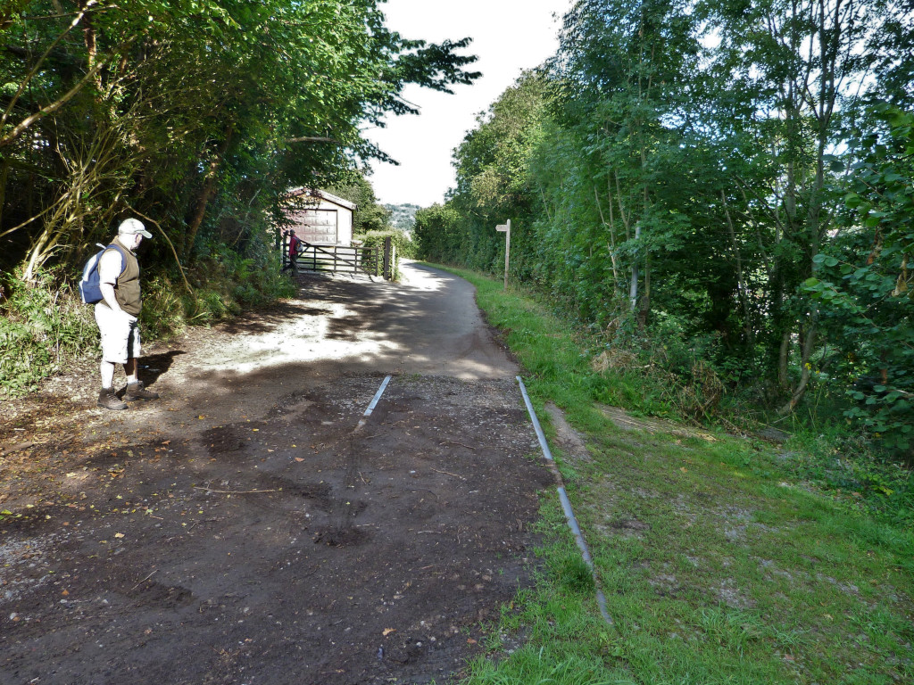
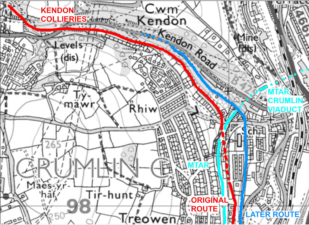
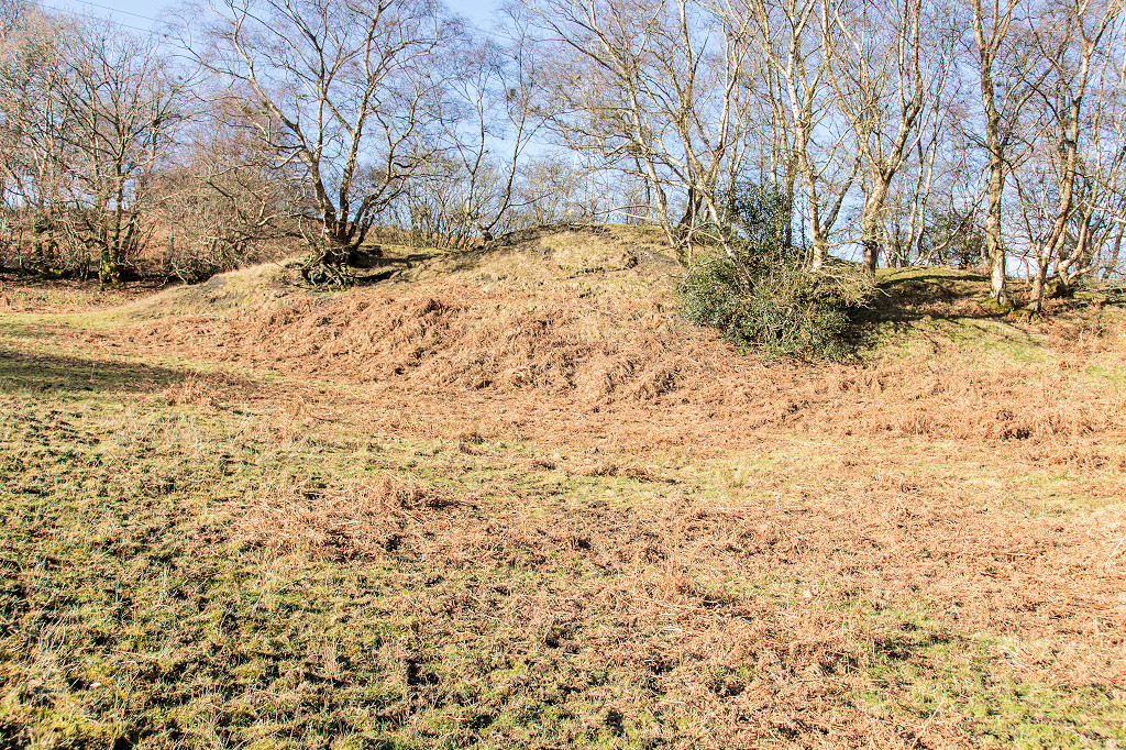
 Later Kendon Tramroad |
 Later Kendon Tramroad |
 Later Kendon Tramroad |
 Later Kendon Tramroad |
 Later Kendon Tramroad |
 Later Kendon Tramroad |
 Later Kendon Tramroad |
 Later Kendon Tramroad |
 Later Kendon Tramroad |
 Later Kendon Tramroad |
 Later Kendon Tramroad |
 Later Kendon Tramroad |
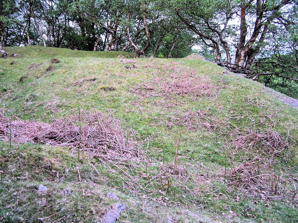
 Kendon Tramroad quarry |
 Kendon Tramroad quarry |
 Later Kendon Tramroad |
 Later Kendon Tramroad |
 Later Kendon Tramroad |
 Later Kendon Tramroad |
 Later Kendon Tramroad |
 Later Kendon Tramroad |
 Crumlin Station footbridge |
 Crumlin Station footbridge |
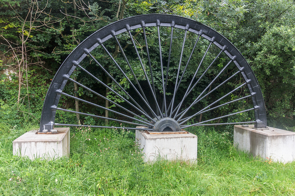 Crumlin winding wheel |
 notice 1005-1024.jpg) Cork and Bandon Rly notice |
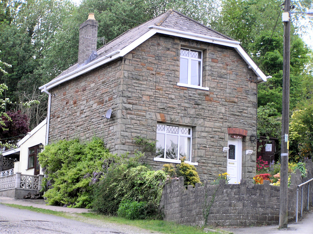 Lower HL Station House |
 High Level Station House |
 High Level Station House |
 Crumlin river bridge datestone |
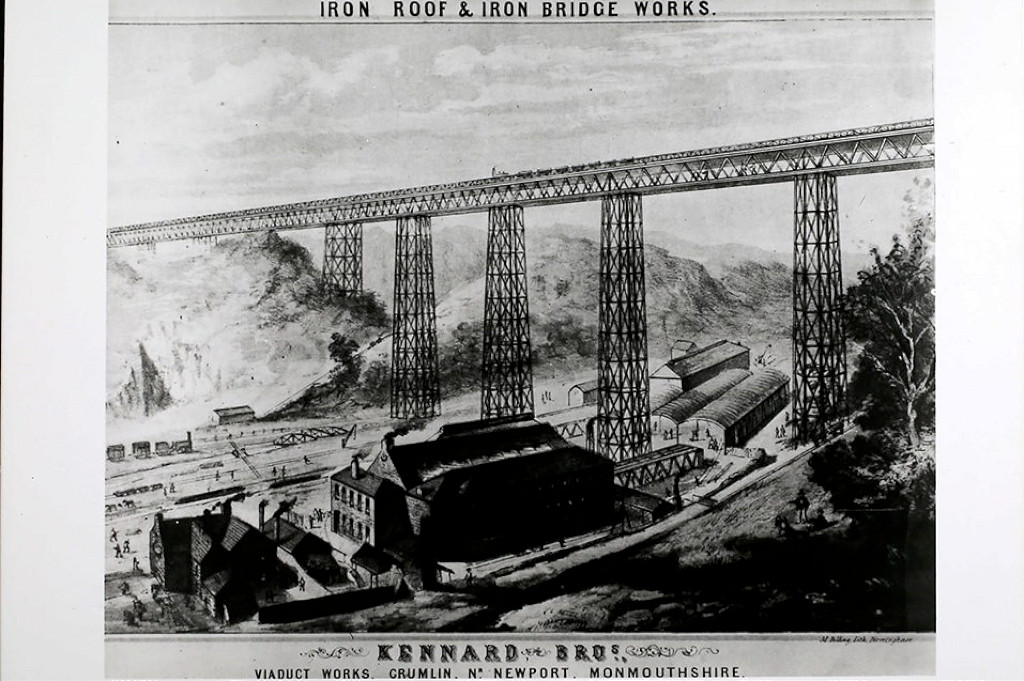 Kennard's Foundry advert |
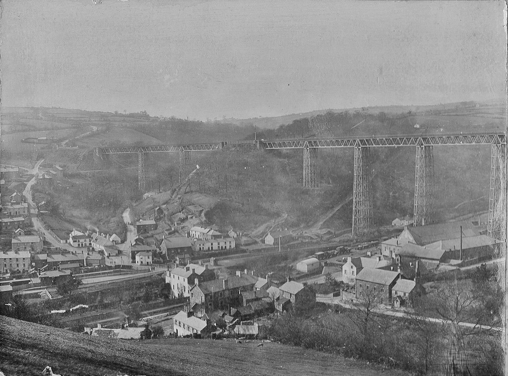 Crumlin Viaduct, c1890 |
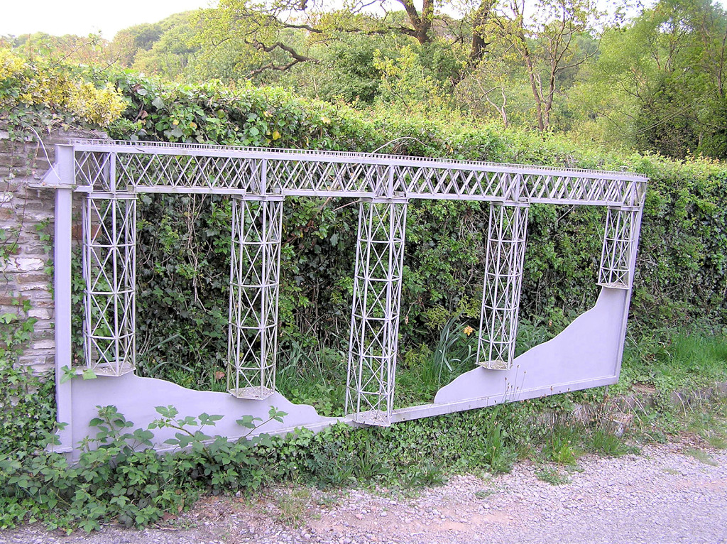 Model of Crumlin Viaduct |
 Crumlin Viaduct, Swffryd parapet |
 Crumlin Viaduct, Swffryd parapet |
 The upper Viaduct Foundry |
 Crumlin Junction, Swffryd |
 Crumlin Junction, Swffryd, 1964 |
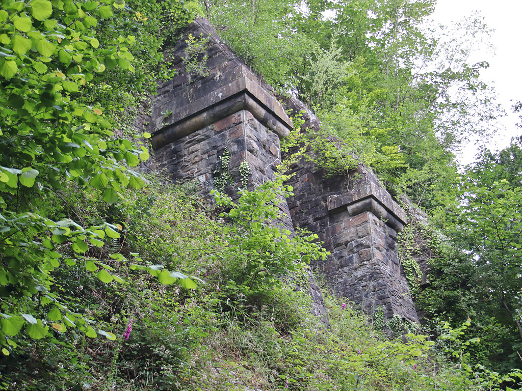
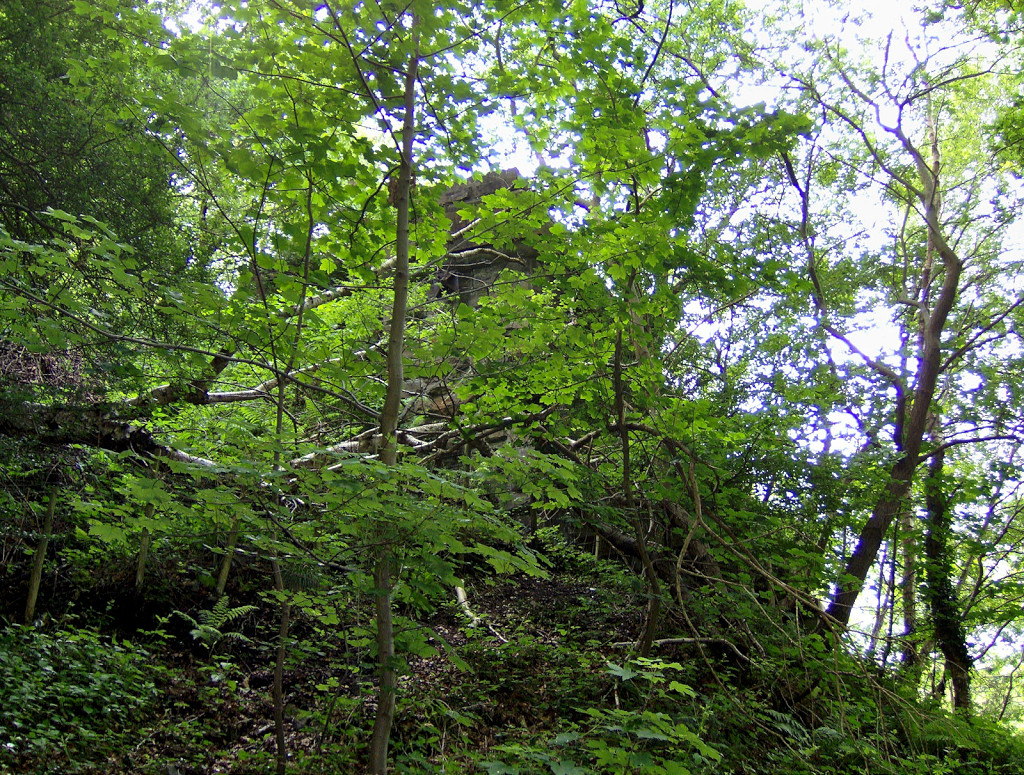 Kendon Viaduct Eastern parapet |
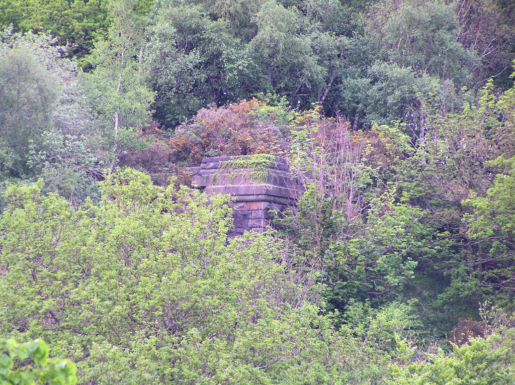 Kendon Viaduct Eastern parapet |
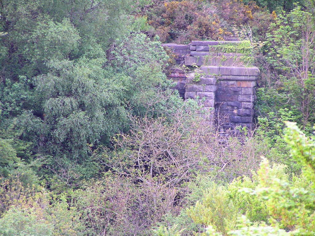 Kendon Viaduct Eastern parapet |
 Kendon Viaduct Western parapet |
 Kendon Viaduct approach |
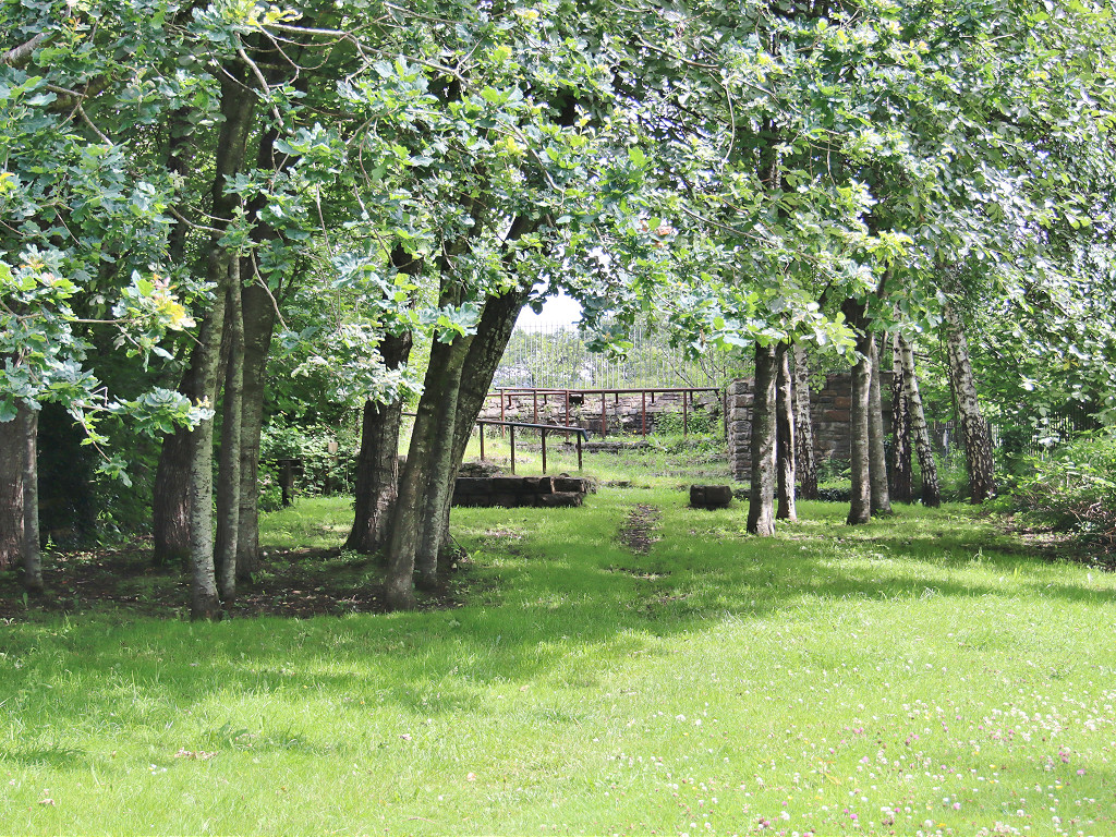
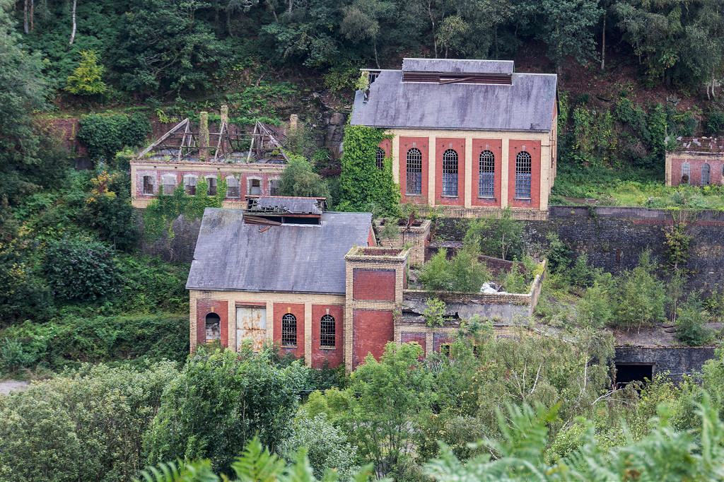
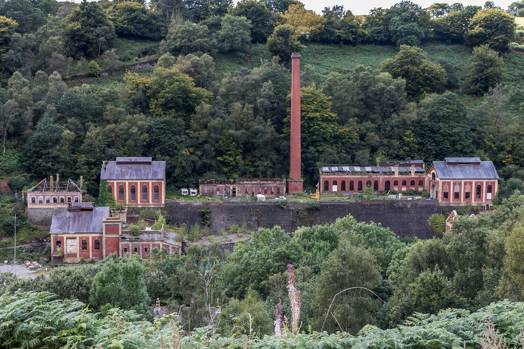
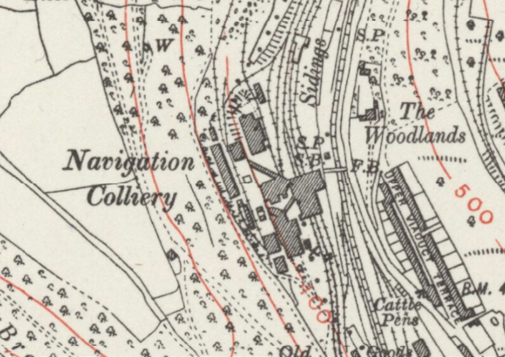 Crumlin Navigation Colliery, 1938 |
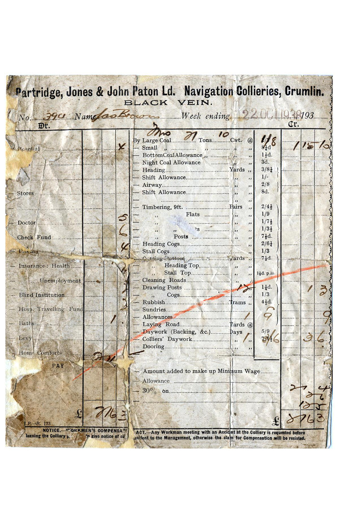 Colliery wages slip, 1938 |
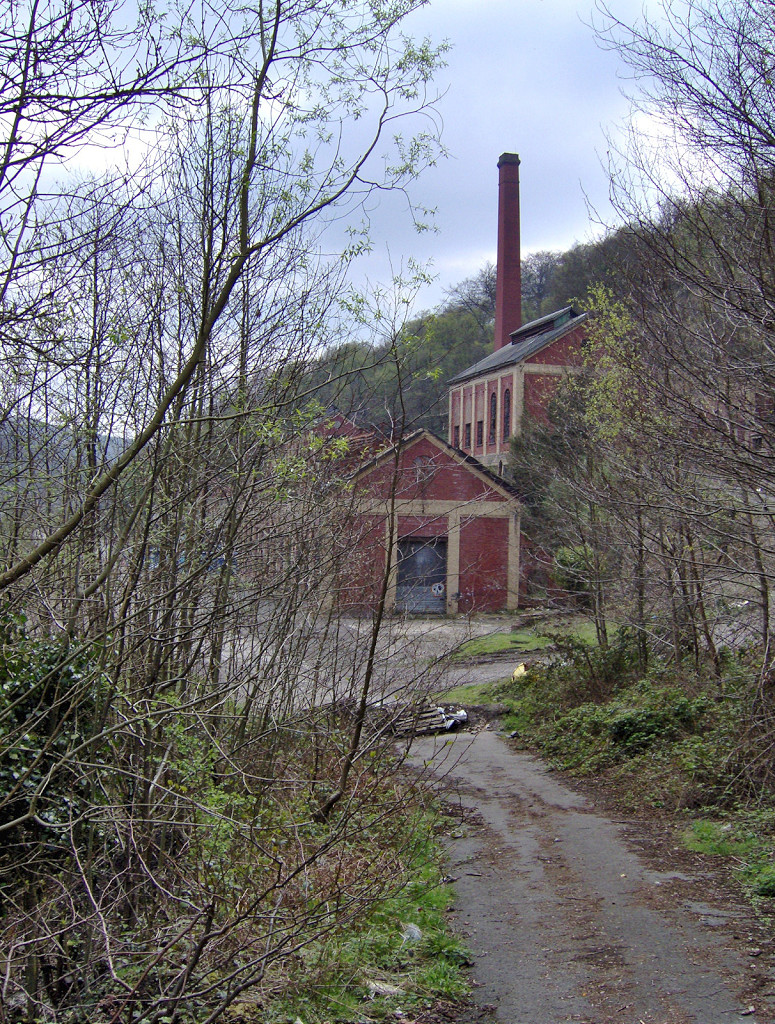
 Exit from downcast shaft |
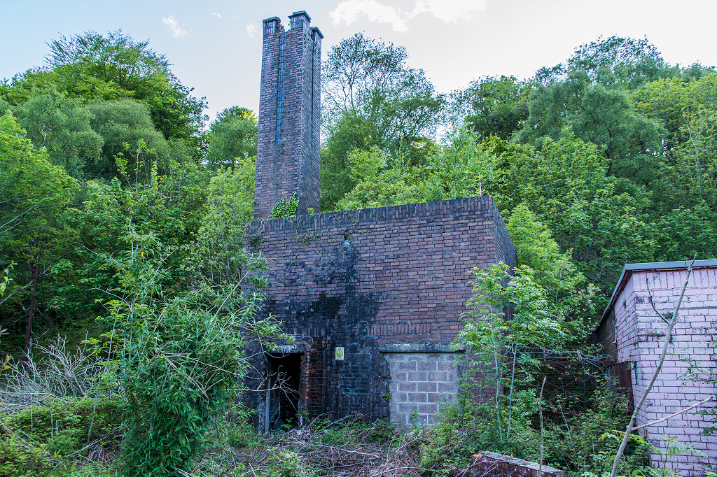
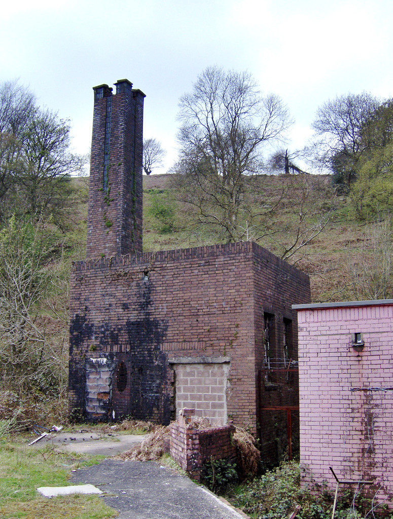
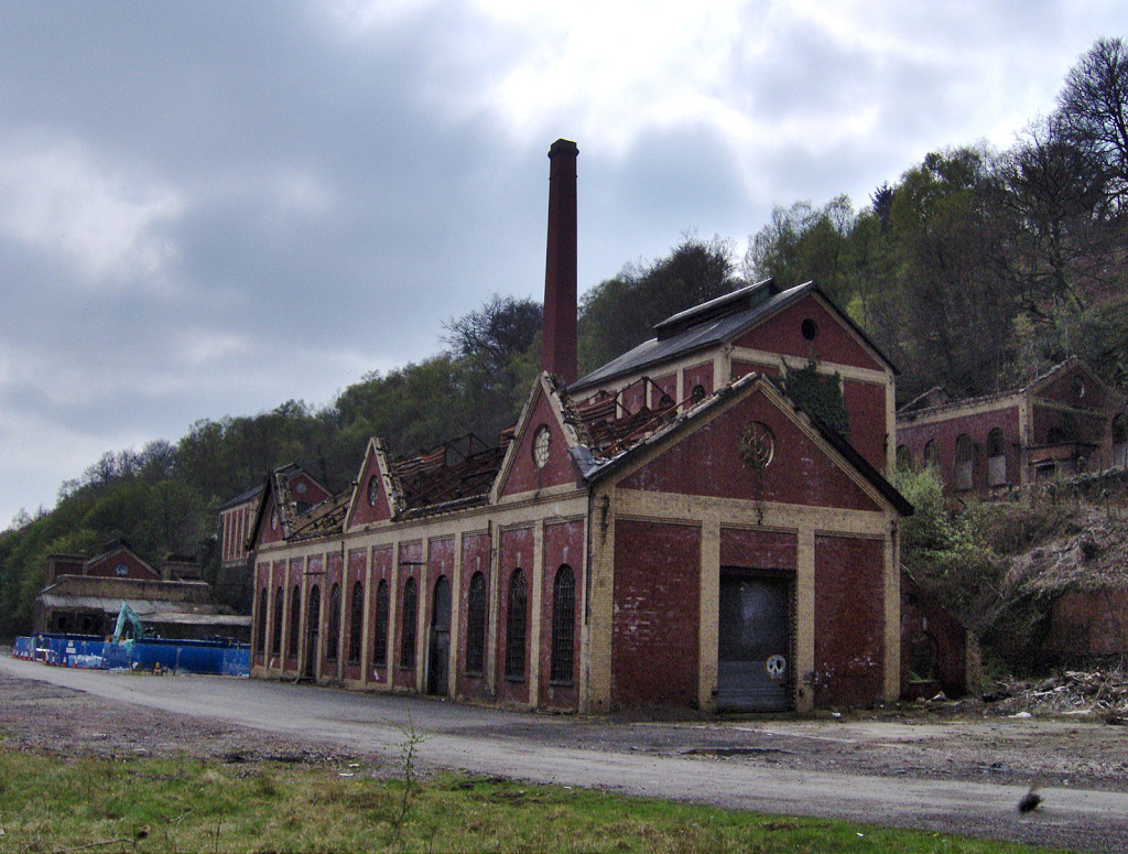
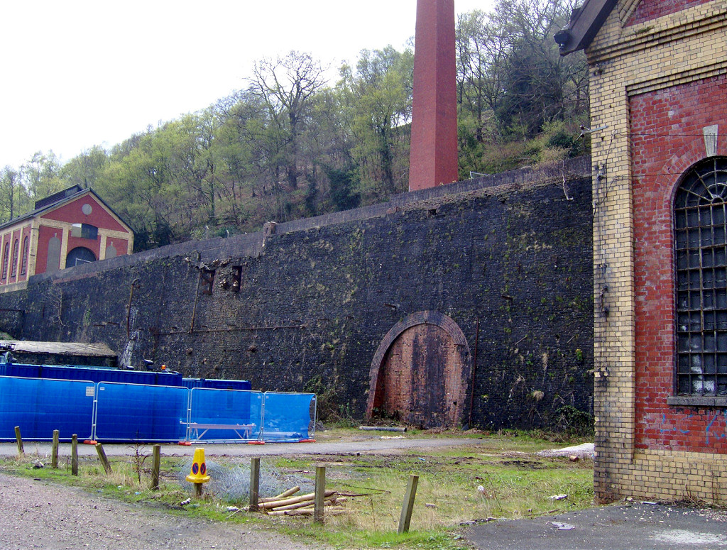
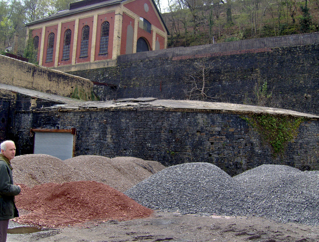
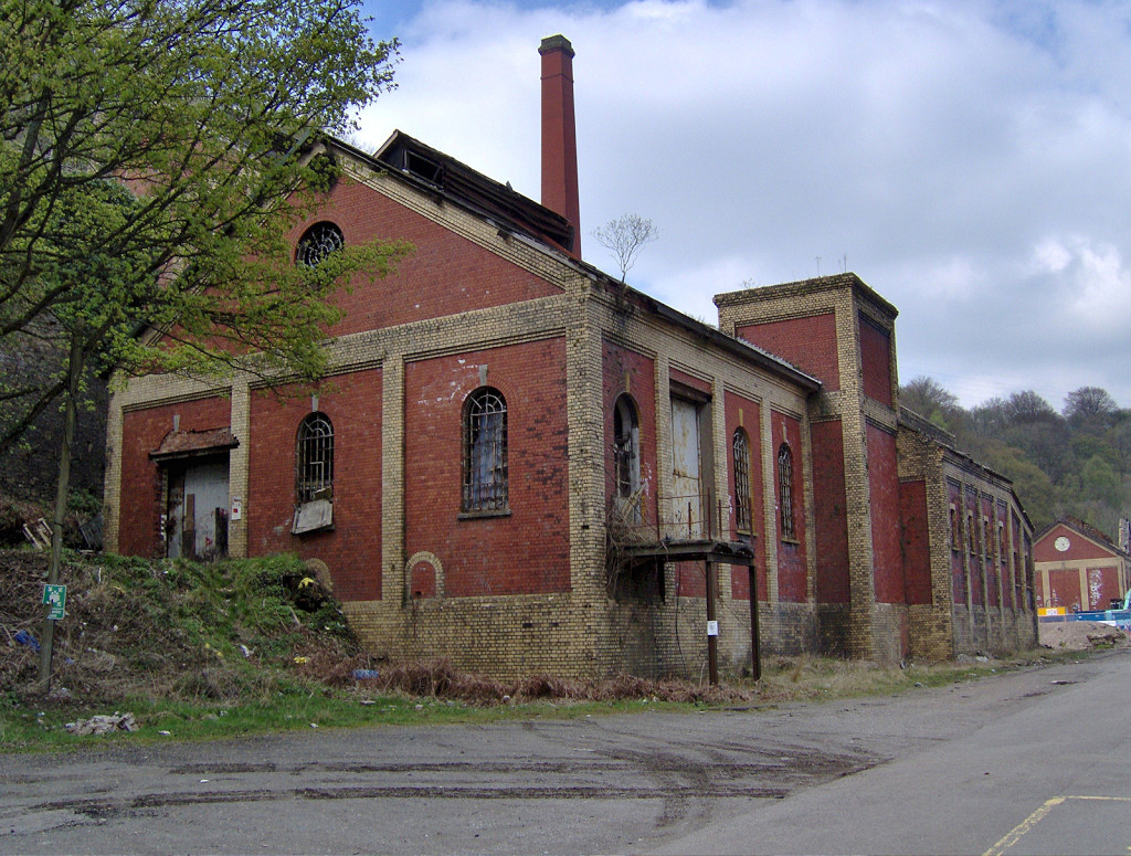
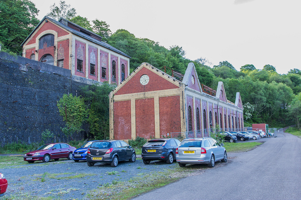 Power house and engine house |
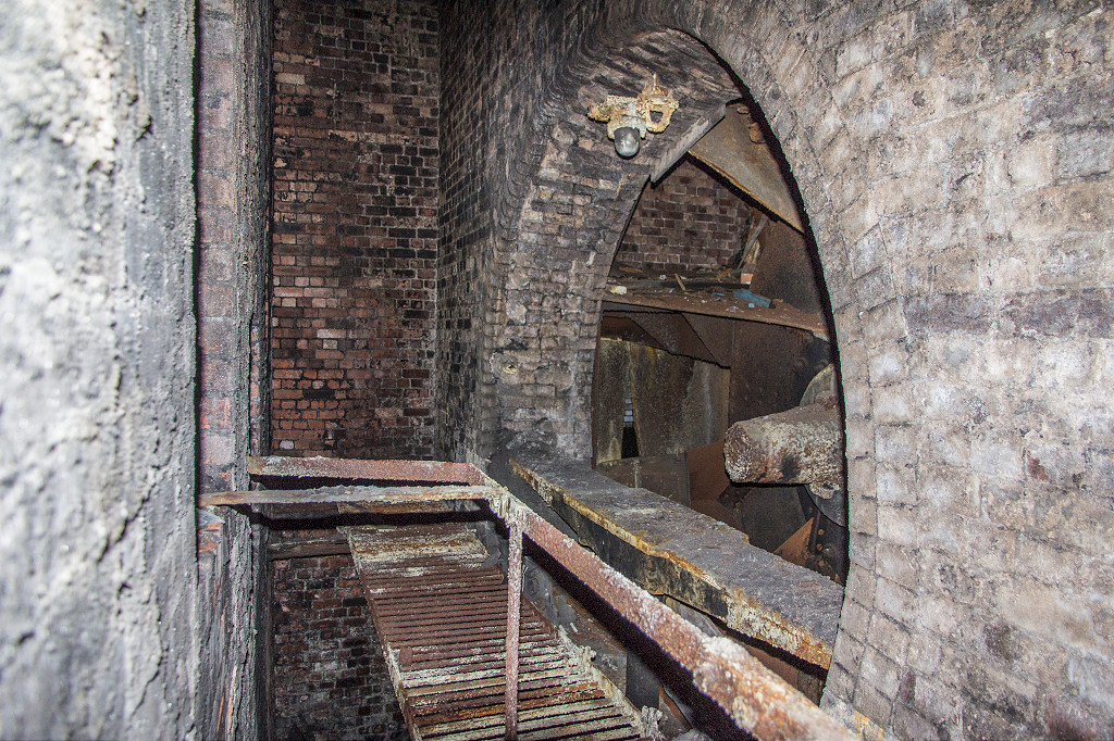
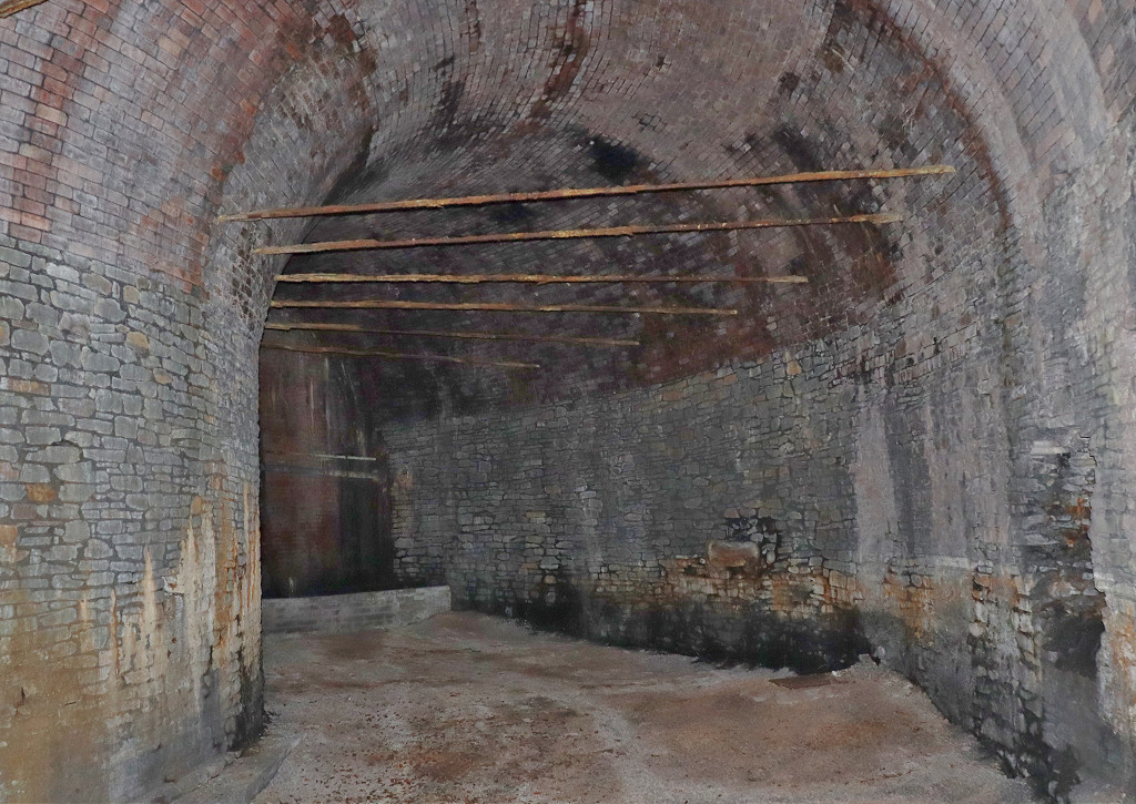 Fan house drift |
 Fan house drift |
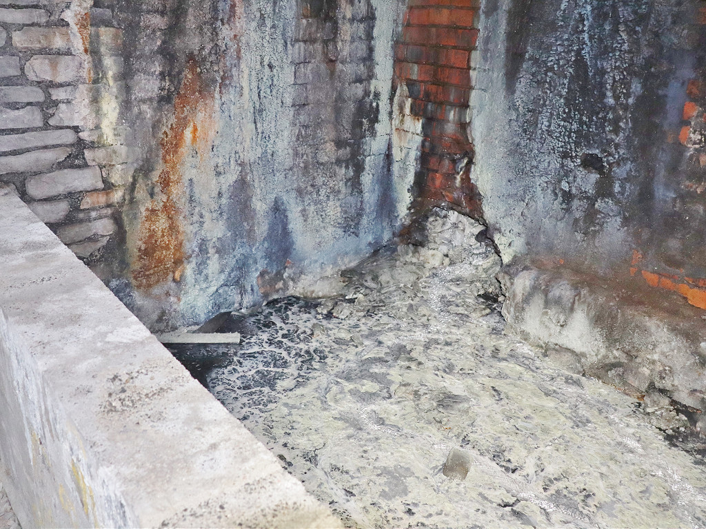
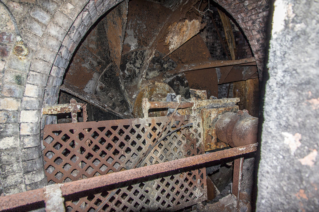
 Inside the fan house |
 Inside the fan house |
 Inside the fan house |
 Inside the fan house |
 Inside the fan house |
 Inside the fan house |
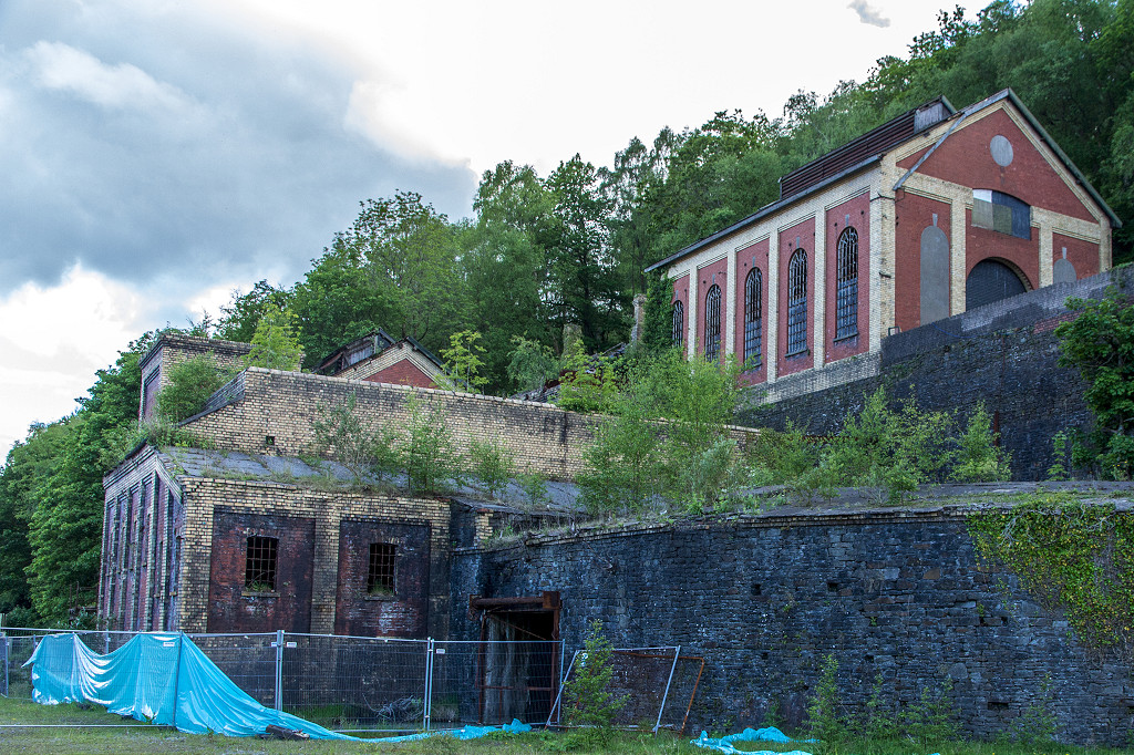 Fan house and engine house |
 Fan house drift |
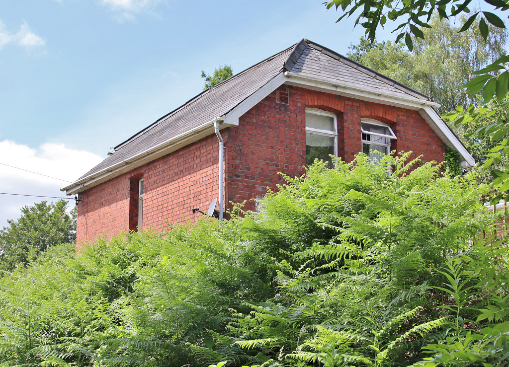
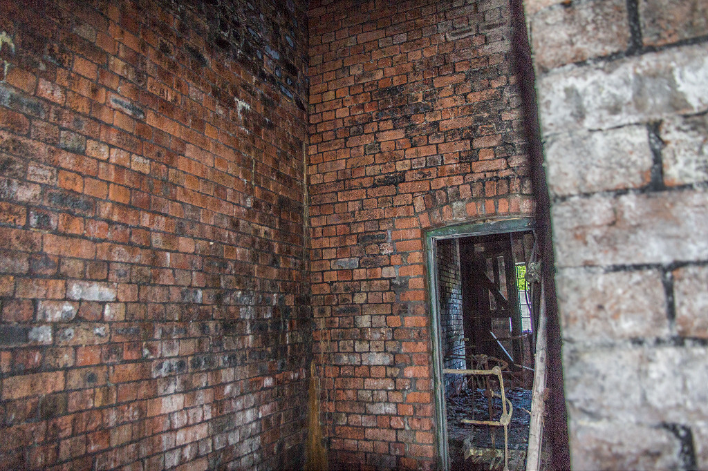
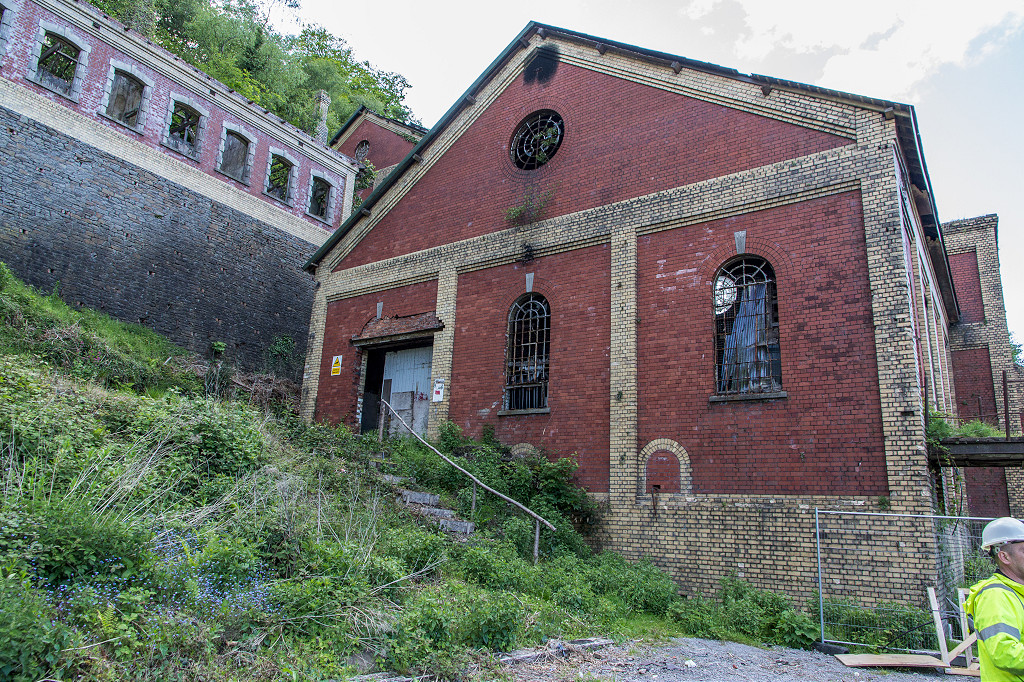 Fan house with offices above |
 Office block |
 Eastern ventilation fan |
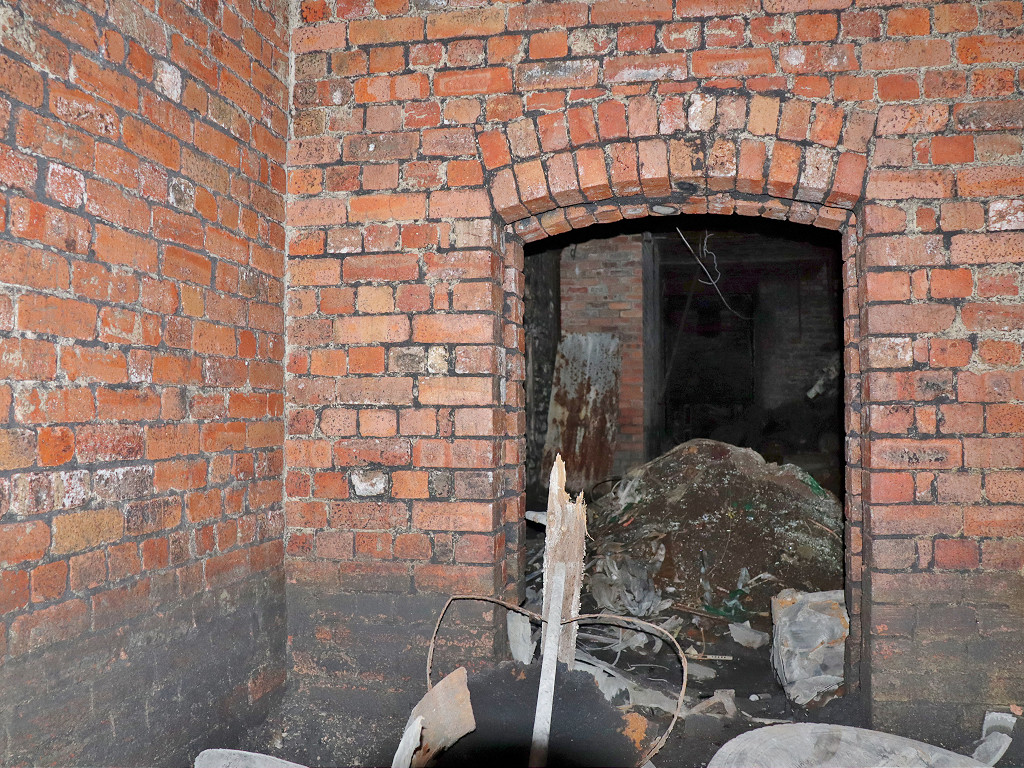
 Fan house chambers |
 Fan house chambers |
 Western ventilation fan |
 Fan house chambers |
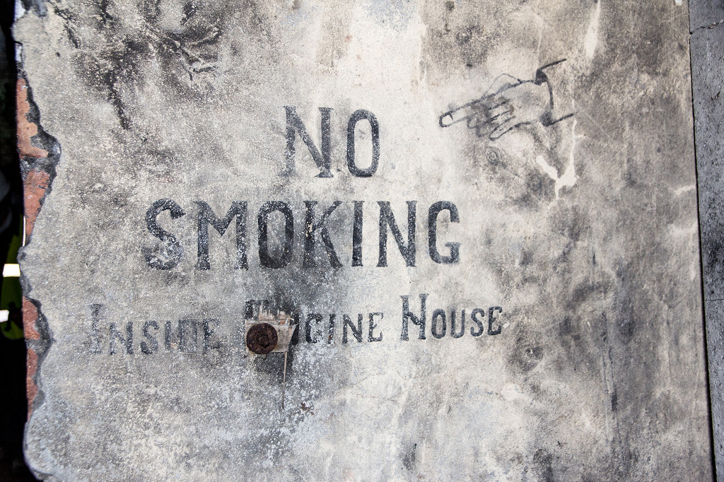 Fan house notice |
 Power house and ducting |
 Power house |
 Baths boiler room |
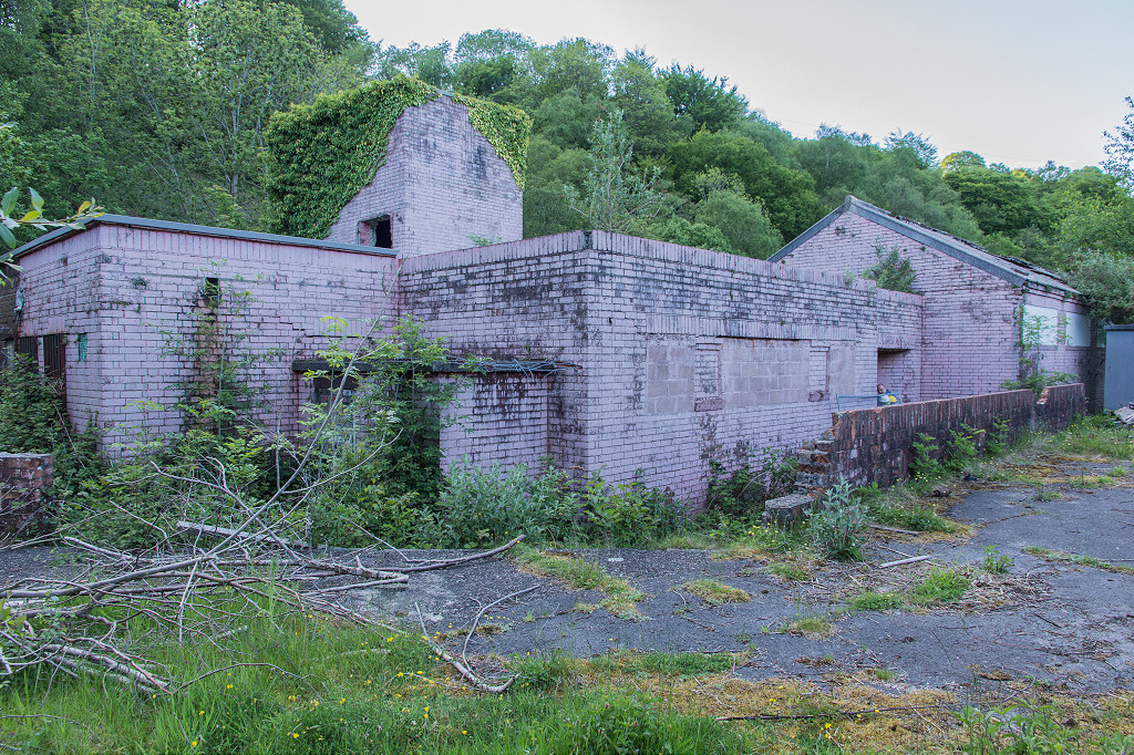 Baths and canteen in pink ! |
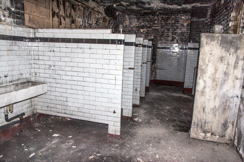 Canteen toilet block |
 Canteen and baths |
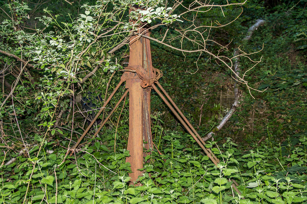 Cable tensioner |
 Emergency shelter |
 Magazine |
 Magazine |
 Workshops and engine house |
 Workshops at pithead |
 Upcast engine house |
 Upcast headgear and shaft |
 Chimney stack worms-eye view |
 Downcast shaft |
 Navigation Colliery from Swffryd |
 Navigation Colliery from Swffryd |
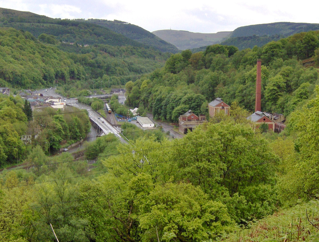 Navigation Colliery from Trinant |
 Navigation Colliery from Trinant |
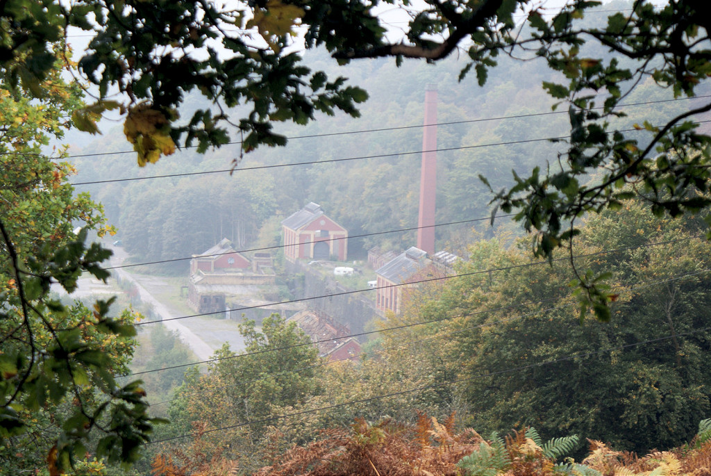
 Crumlin Navigation Colliery |
 Crumlin Navigation Colliery |
 Crumlin Navigation Colliery |
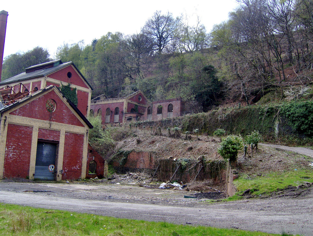 Crumlin Navigation Colliery |
 Crumlin Navigation Colliery |
 Crumlin Navigation Colliery |
 Crumlin Navigation Colliery |
 Crumlin Navigation Colliery |
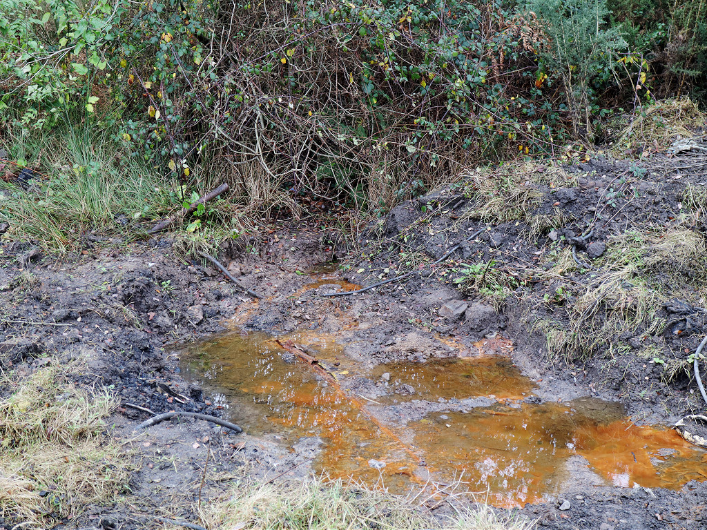
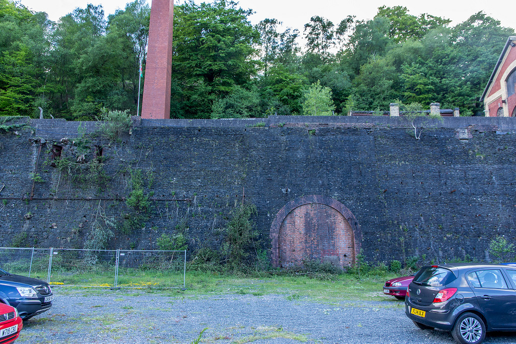
 River Ebbw culvert collapse |
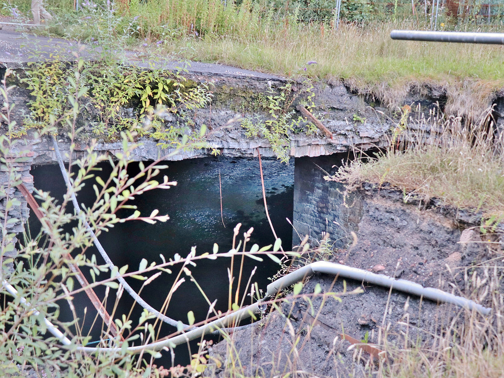 River Ebbw culvert collapse |
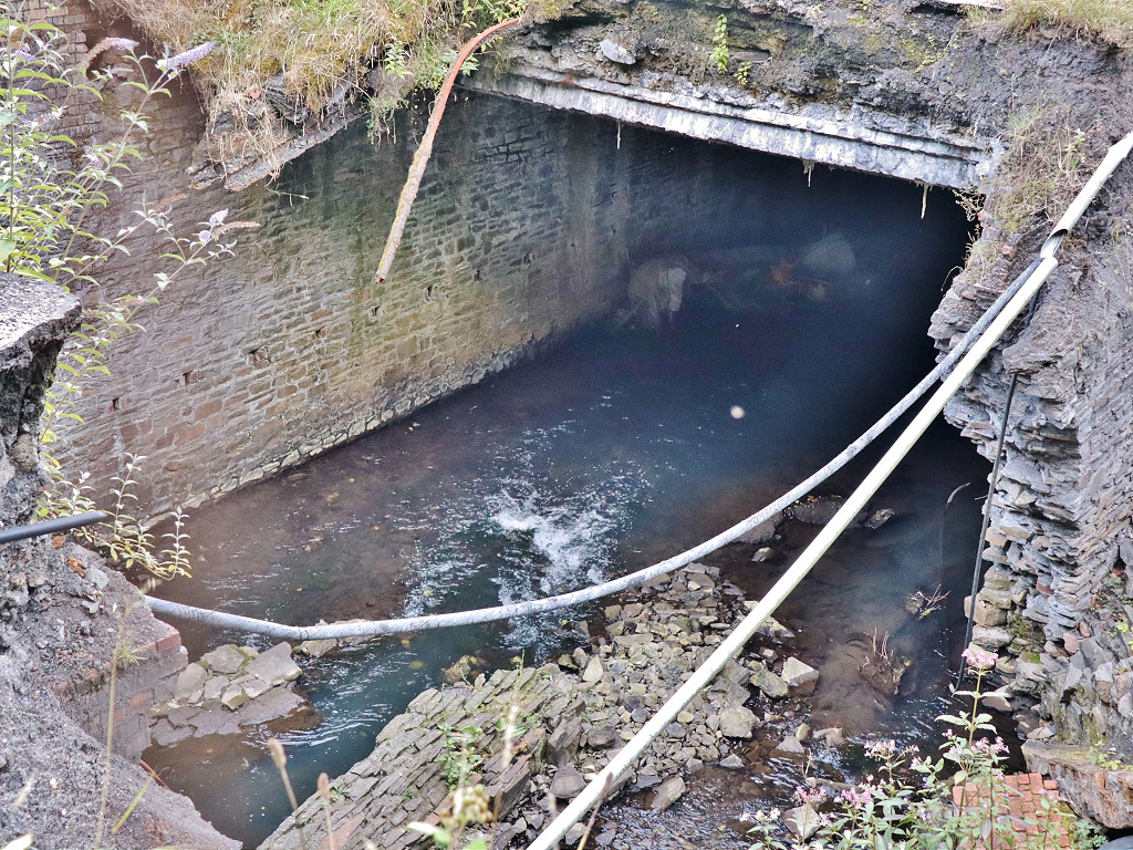 River Ebbw culvert collapse |
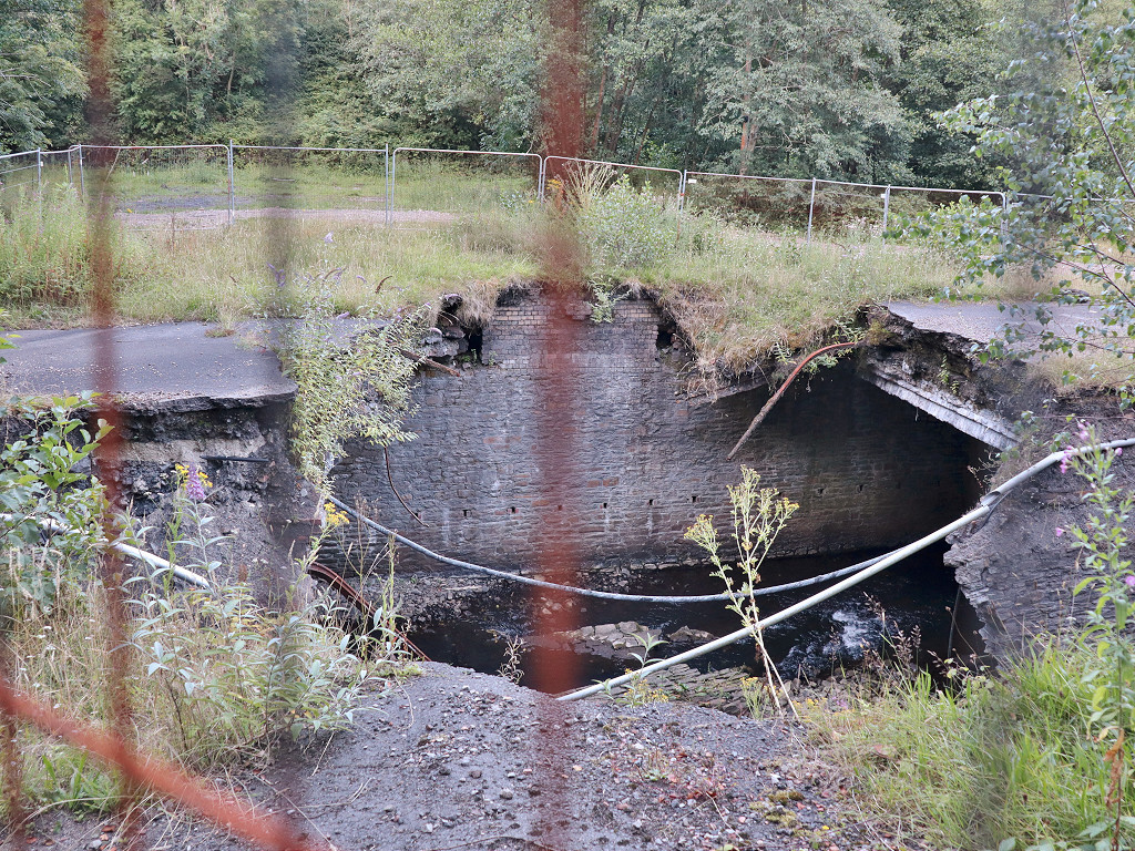 River Ebbw culvert collapse |
 Aberbeeg South Colliery |
 Aberbeeg South Colliery |
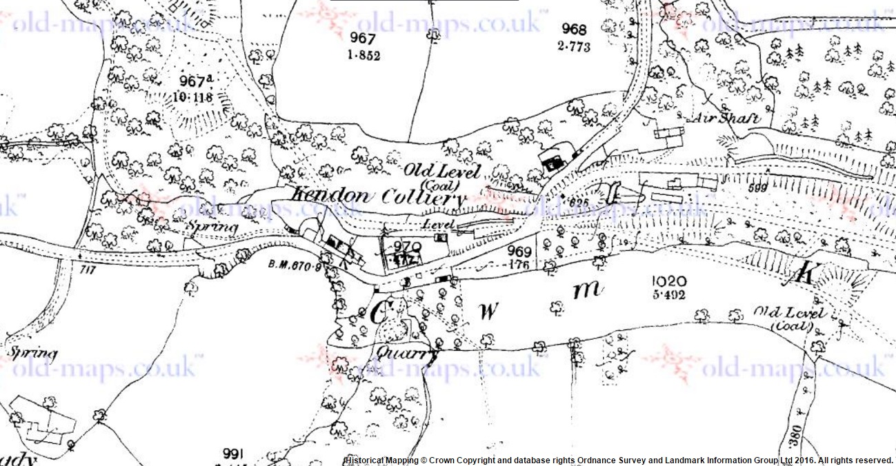 Kendon in 1880 |
 Kendon in 1901 |
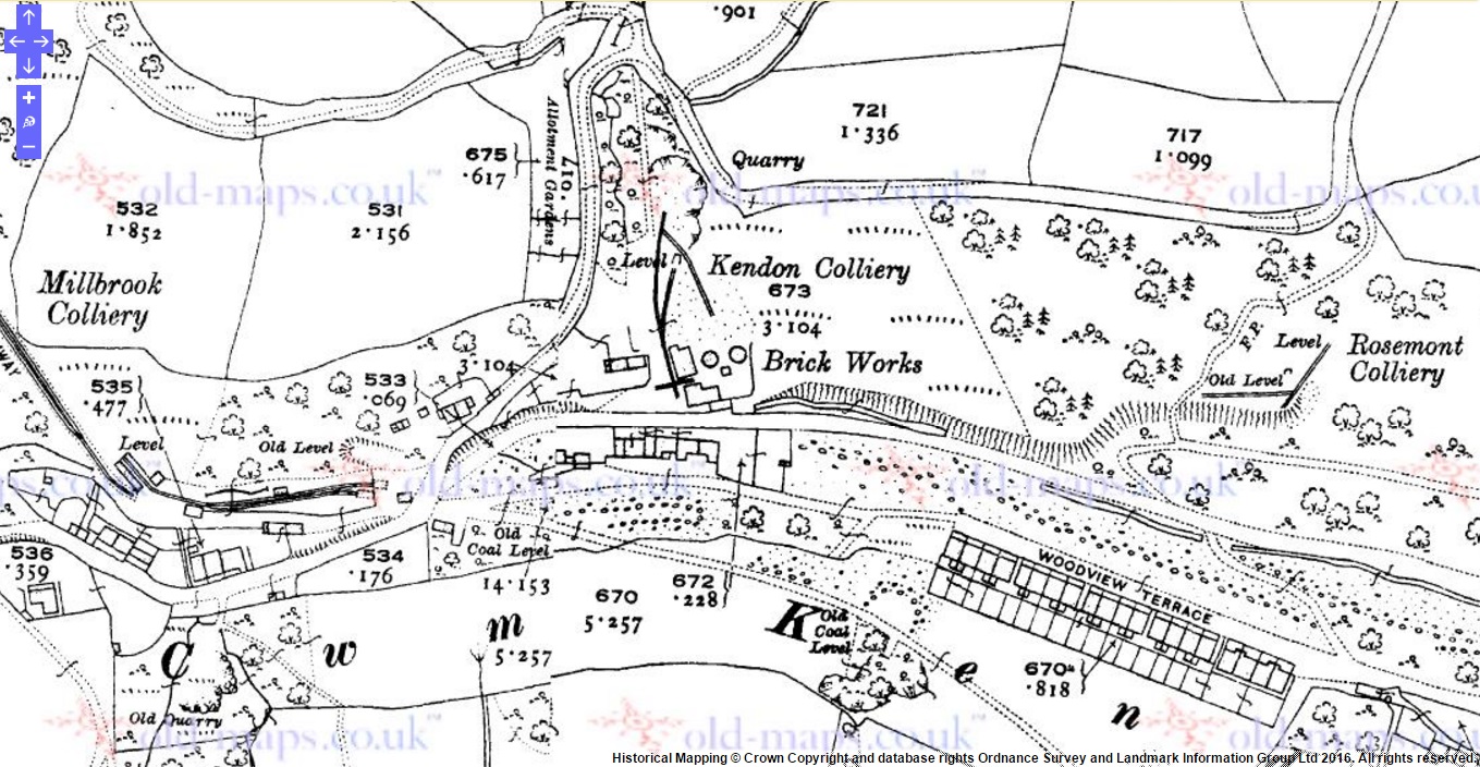 Kendon in 1920 |
 Kendon in 1962 |
 Old Kendon Colliery |
 Old Kendon Colliery |
 Old Kendon Colliery |
 Old Kendon Colliery |
 Old Kendon Colliery tips |
 Old Kendon Colliery tips |
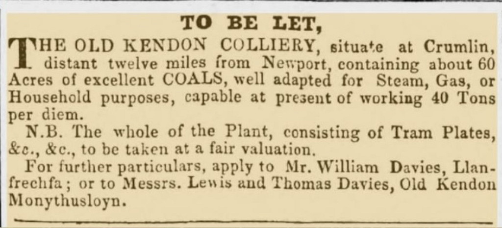 Kendon Colliery to let c1920 |
 Level at ST 2027 9875, Kendon |
 Millbrook Colliery tips |
 Millbrook Colliery Tramway |
 Rosemont Colliery, Kendon |
 Rosemont Colliery, Kendon |
 'Davies Bros Crumlin' |
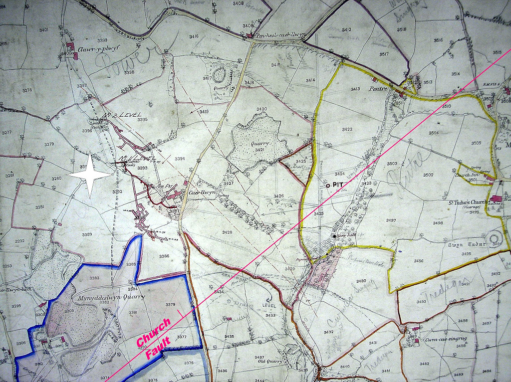 Cae'r Llwyn Colliery, 1876 |
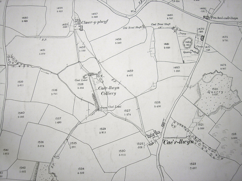 Cae'r Llwyn Colliery, 1899 |
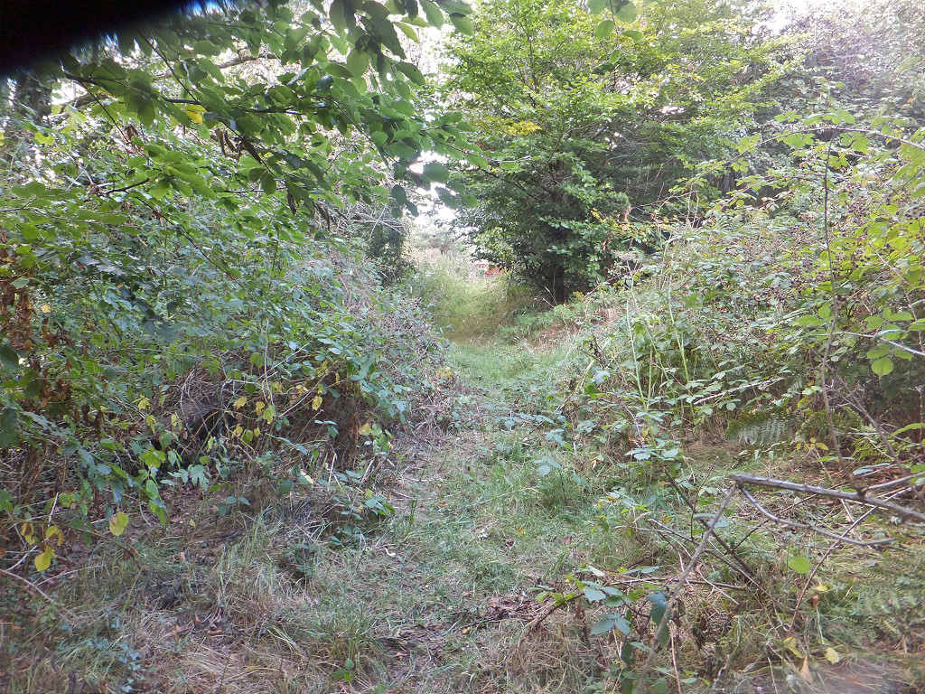 Cae'r Llwyn Colliery, possible tramway |
 Cae'r Llwyn Colliery crane |
 Cae'r Llwyn Colliery crane |
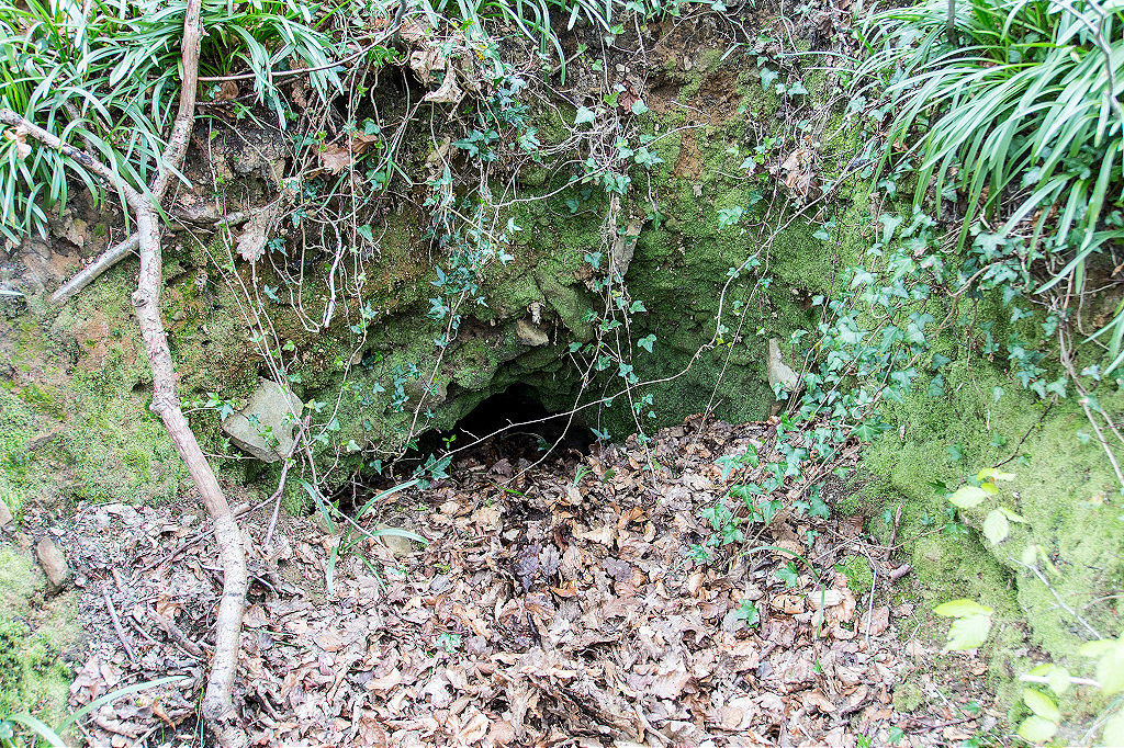
 Cae'r Llwyn Colliery collapsed level. |
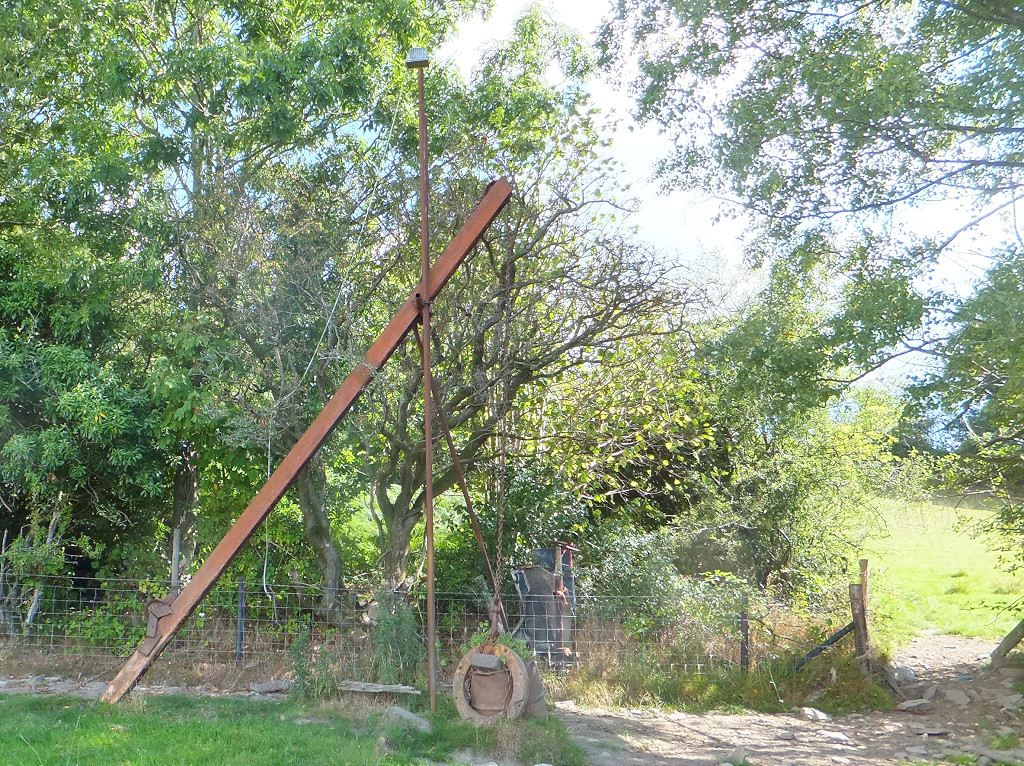
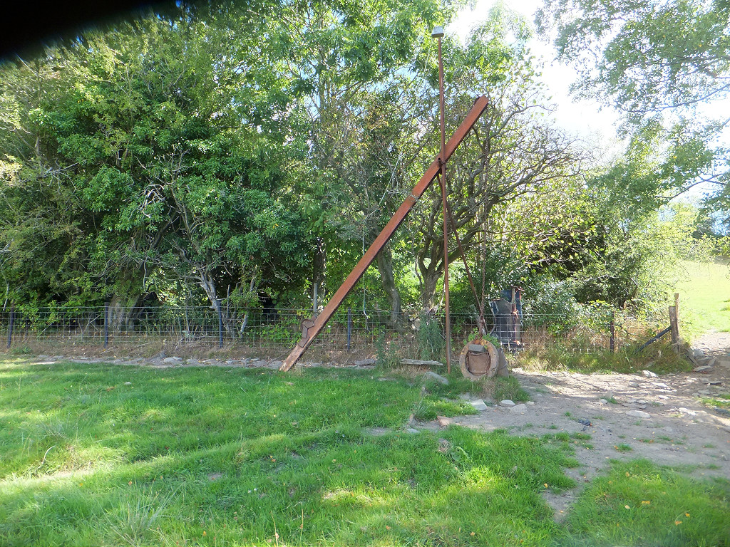
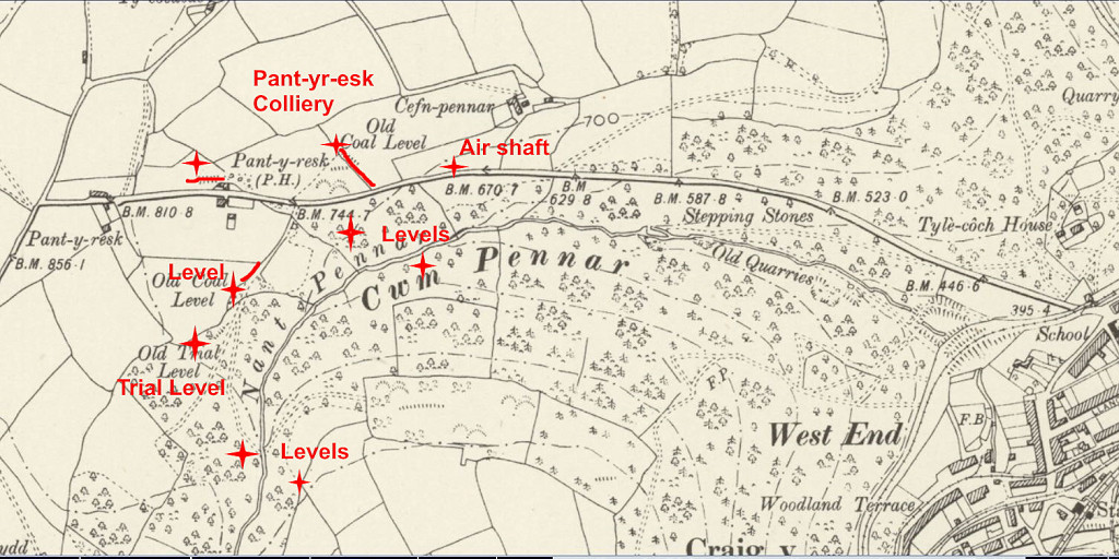 Pant-y-resk Colliery and levels |
 Pant-y-resk Colliery tips |
 Pant-y-resk Colliery tips |
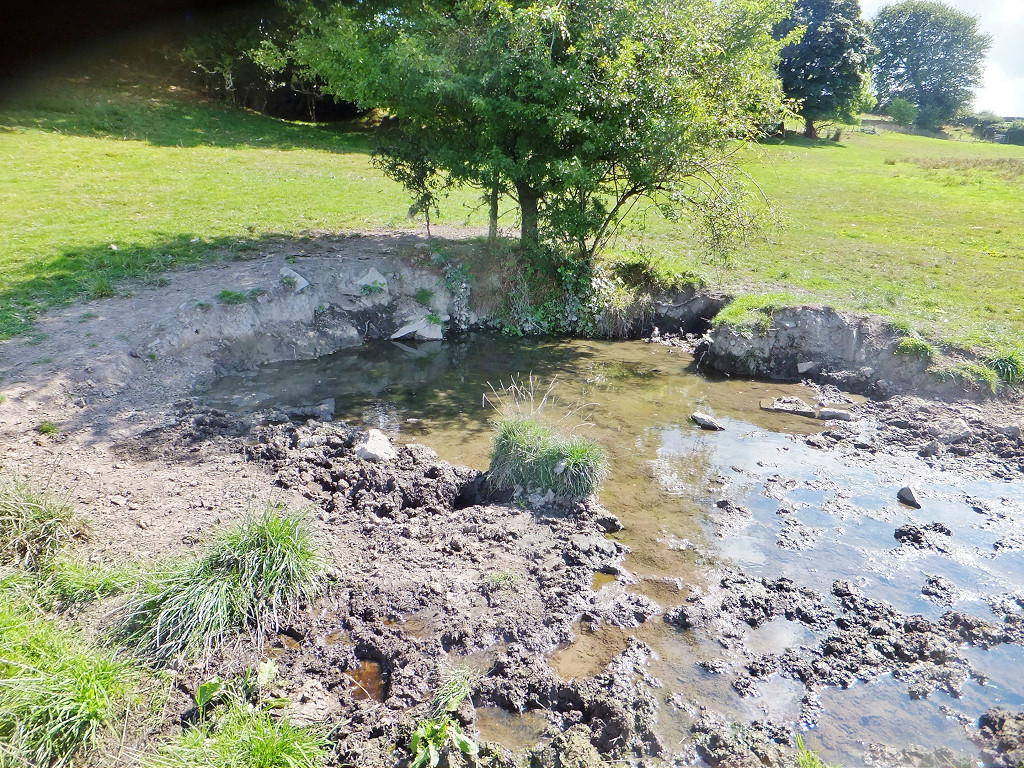
 Shaft below Pant-yr-esk Colliery |
 Islwyn Colliery, 1879 |
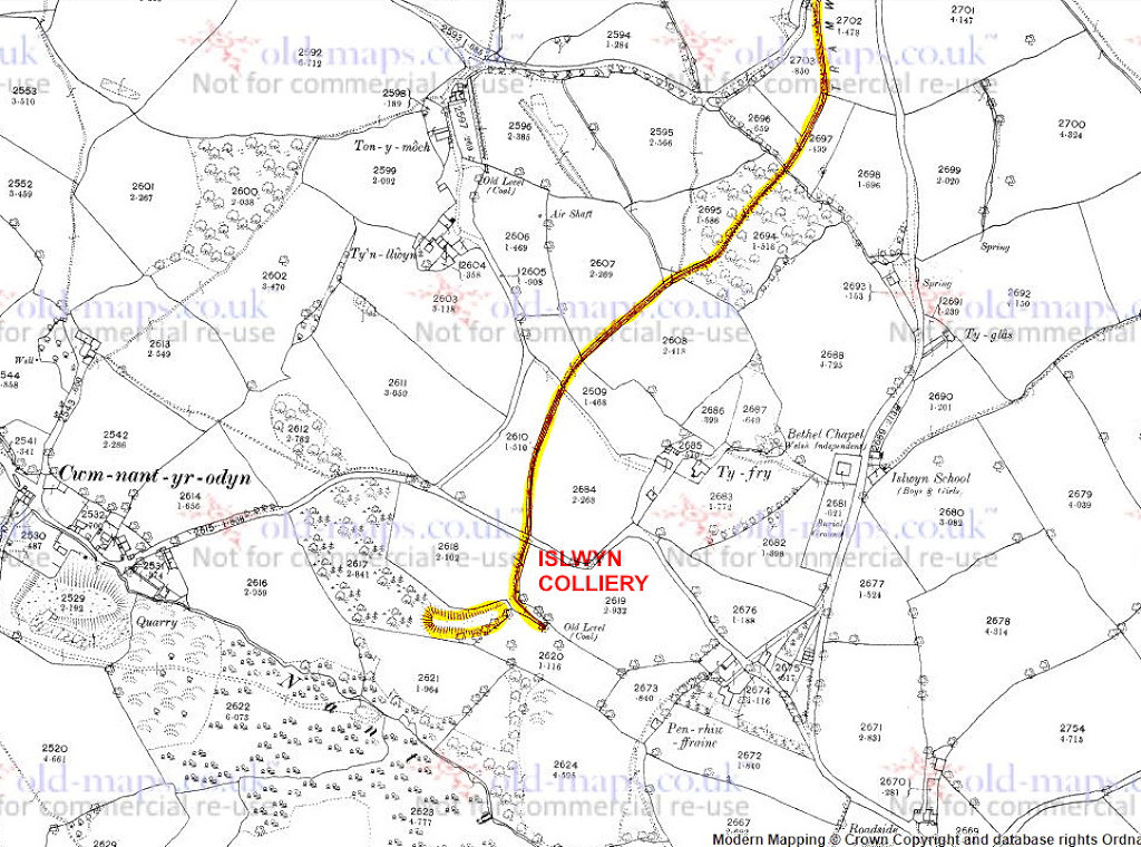 Islwyn Colliery, 1879 |
 Islwyn Colliery, 1901 |
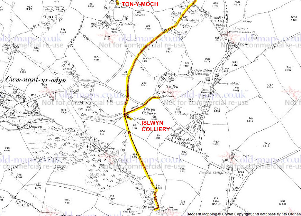 Islwyn Colliery, 1901 |
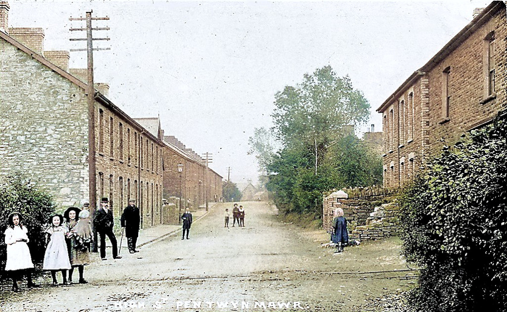 Tramway at Pentwynmawr |
 Islwyn Colliery tramway |
 Islwyn Colliery tramway |
 Islwyn Colliery tramway |
 Islwyn Colliery tramway |
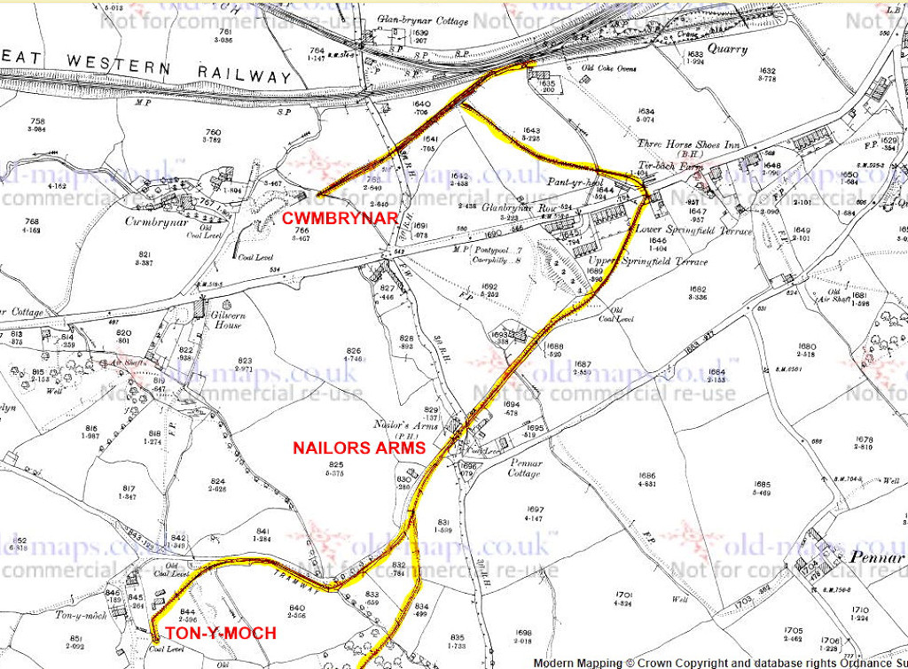
 Ton-y-moch Colliery tramway |
 Ton-y-moch Colliery tramway |
 Pennar Ganol Colliery, 1901 |
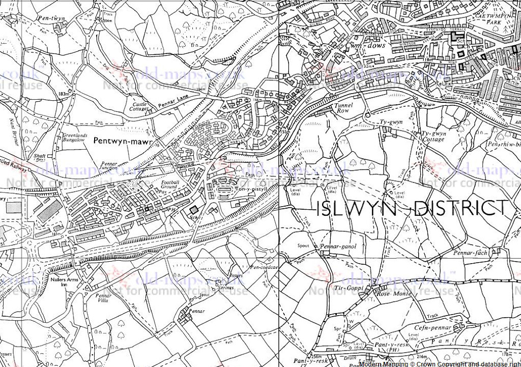 Pennar Ganol Colliery, c1985 |
|
 Pennar Ganol Colliery, Mynyddislwyn |
 Pennar Ganol Colliery, Mynyddislwyn |
 Pennar Ganol Colliery, Mynyddislwyn |
 Ty-gwyn Colliery, 1962 |
 Ty-gwyn Colliery tips |
 Ty-gwyn Colliery level |
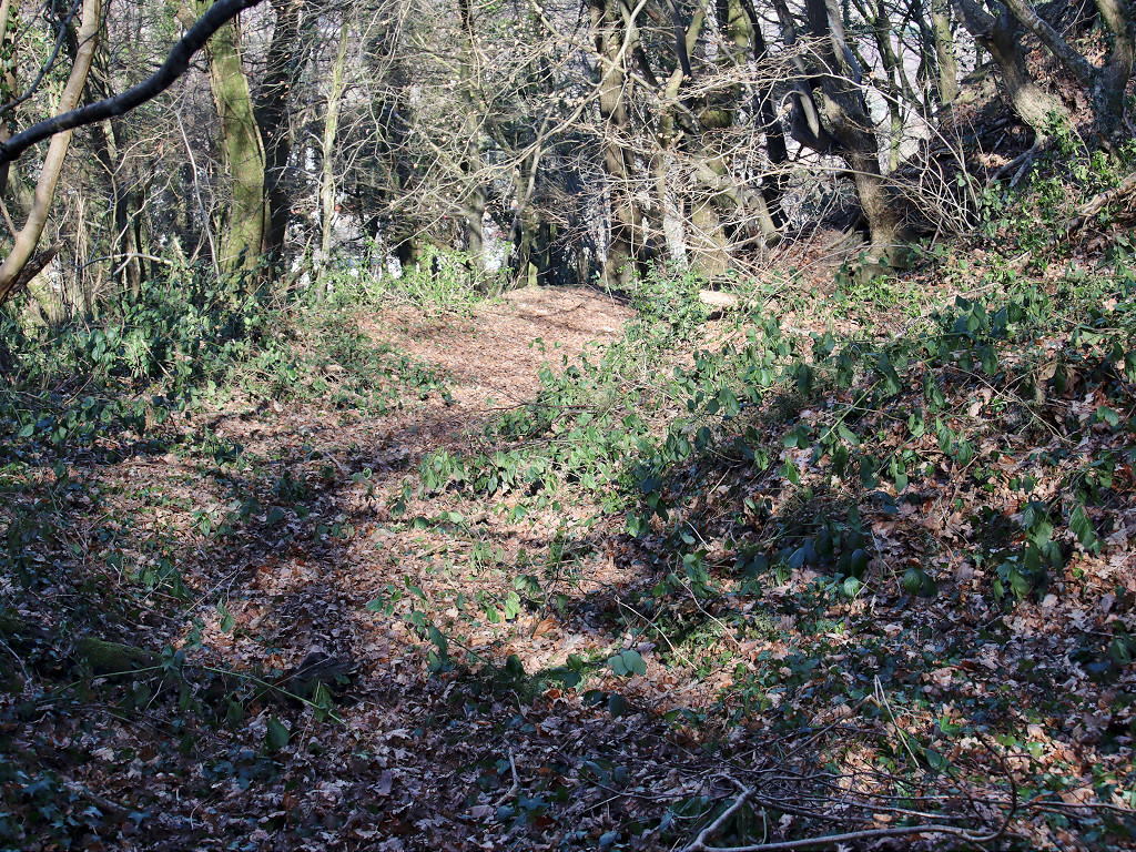
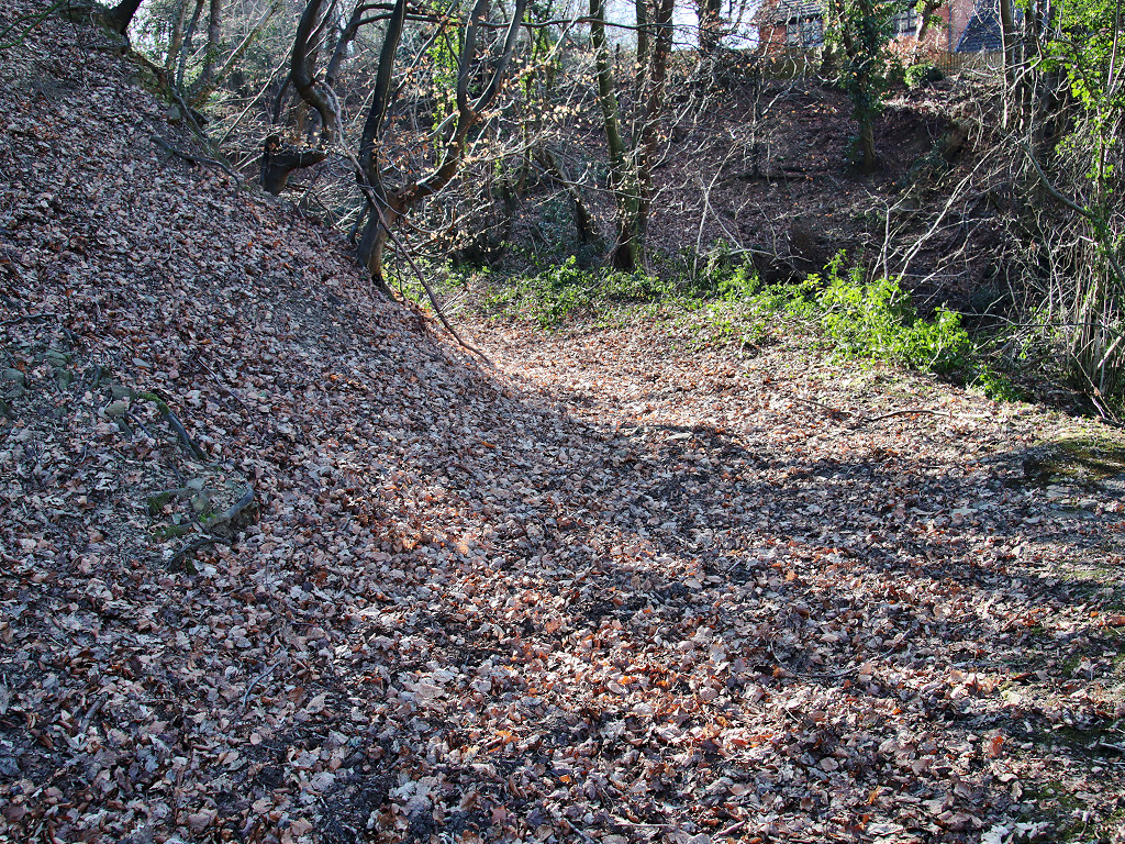
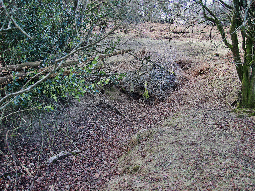
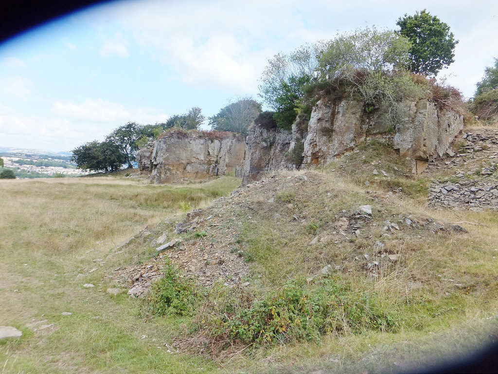
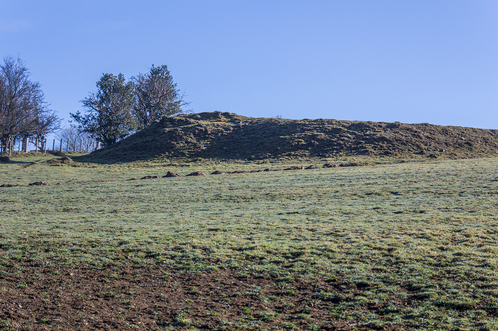
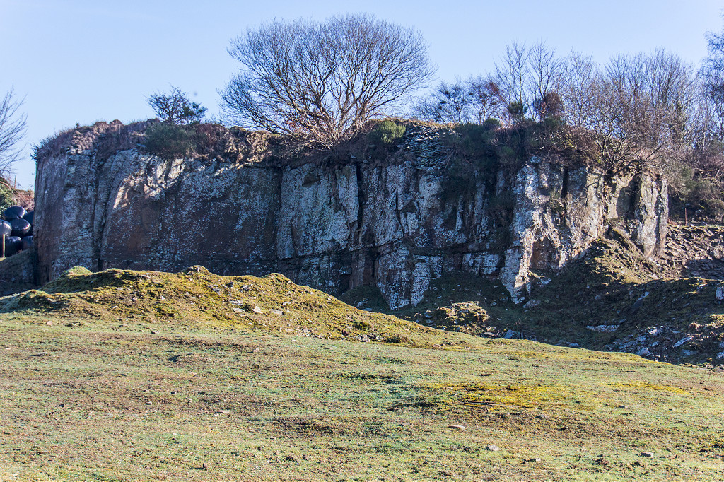
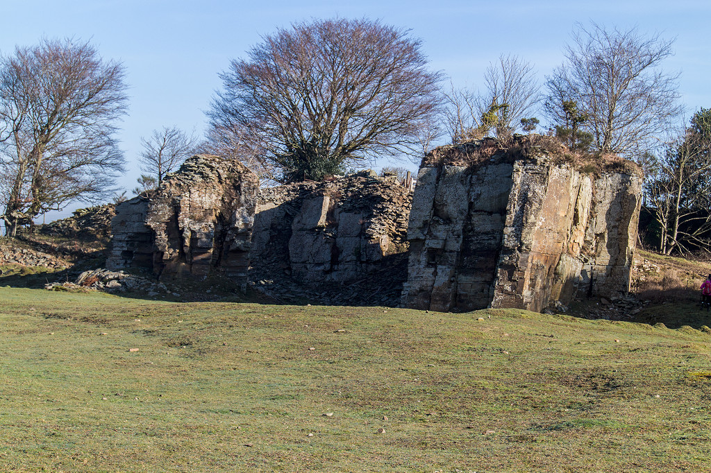
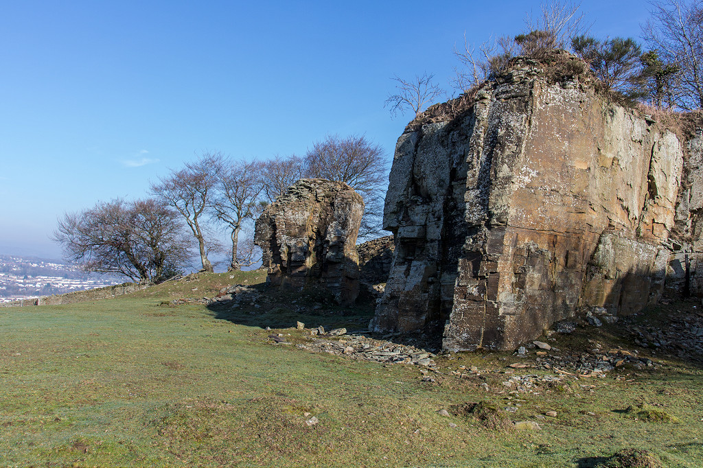
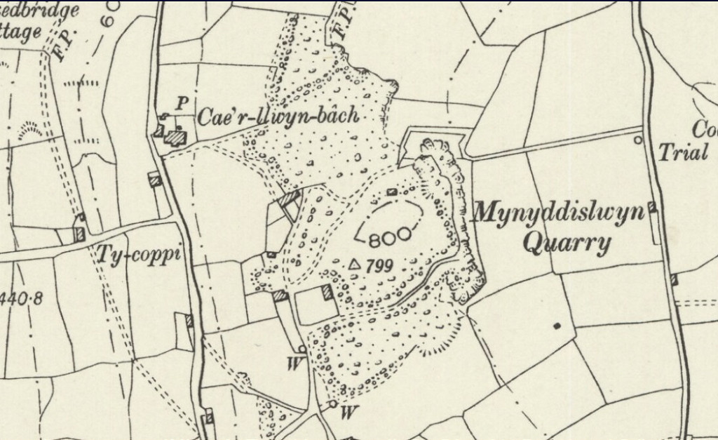 Mynyddislwyn Quarry, 1899 |
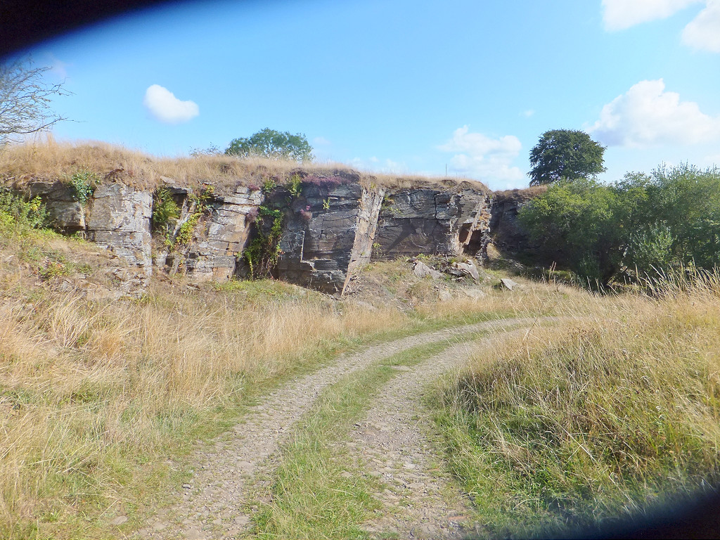
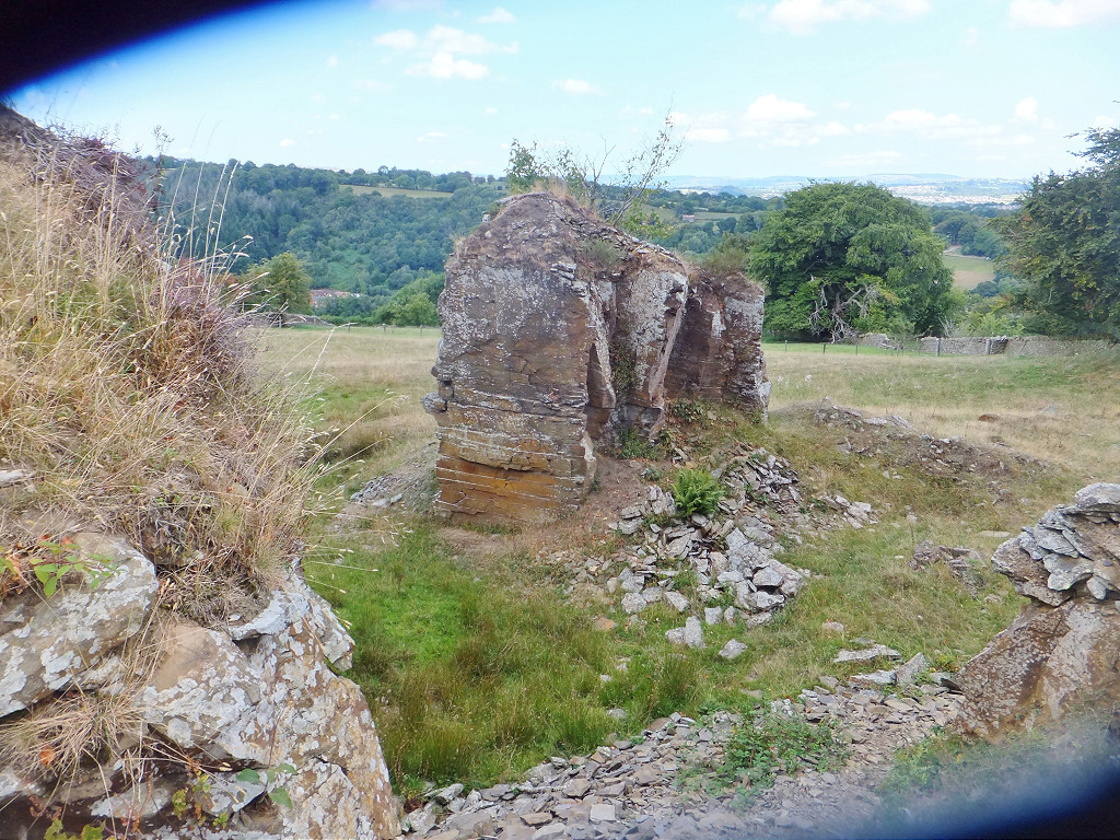 Mynyddislwyn Quarry |
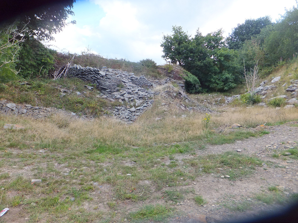 Mynyddislwyn Quarry tips |
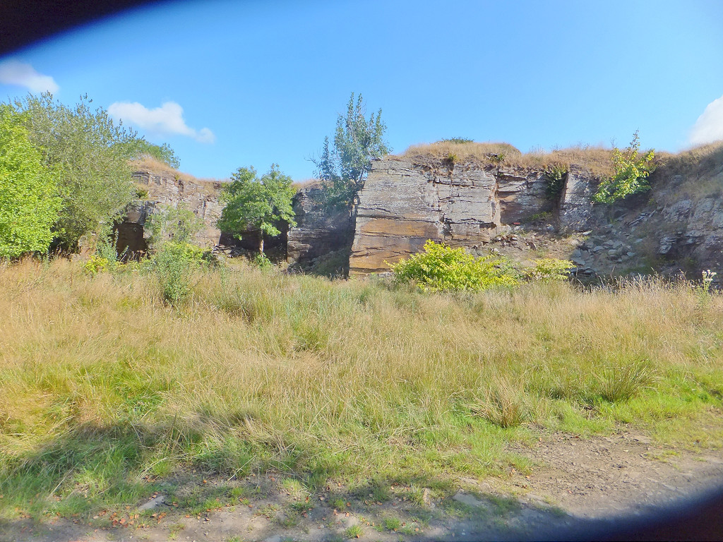
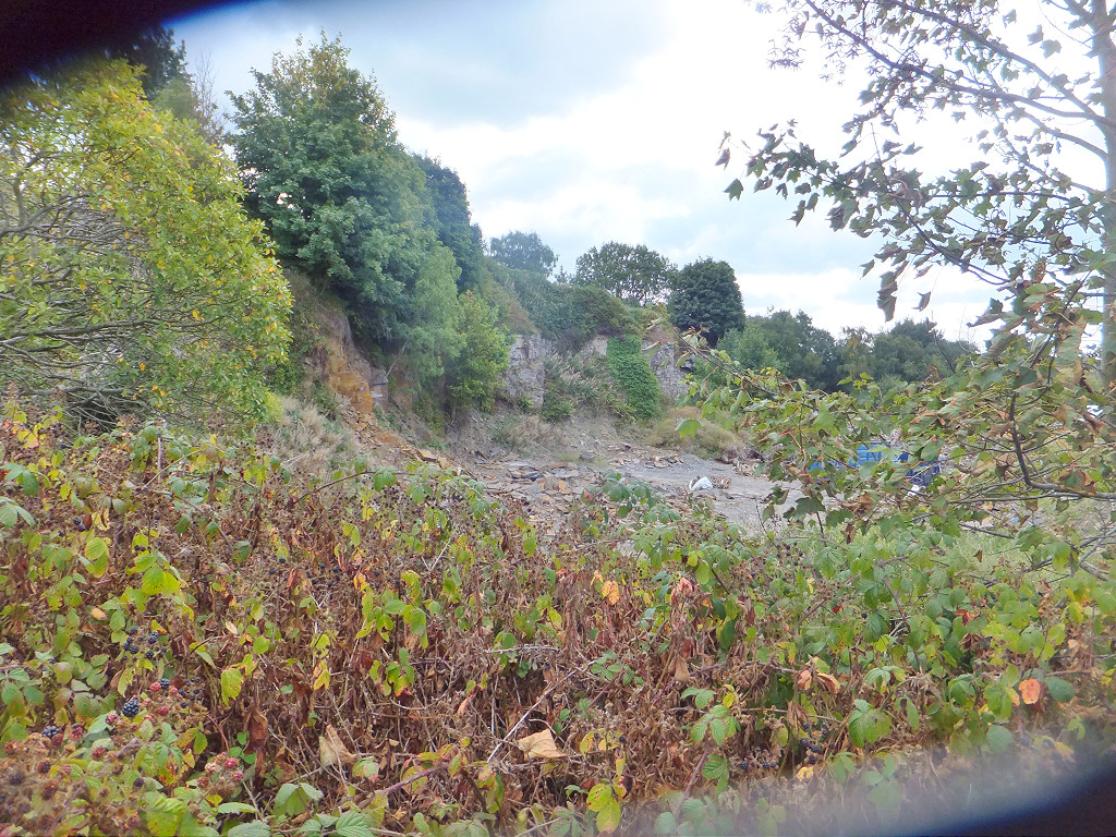 Mynyddislwyn Quarry |
 Mynyddislwyn Quarry |
 Mynyddislwyn Quarry tips |
 Mynyddislwyn Quarry |
 Mynyddislwyn Quarry |
 Mynyddislwyn Quarry |
 Mynyddislwyn Quarry |
 Mynyddislwyn Quarry |
|
Cae'r Llwyn Quarry, 1899 |
 Cae'r Llwyn Quarry |
 Cae'r Llwyn Quarry |
 Cae'r Llwyn Quarry |
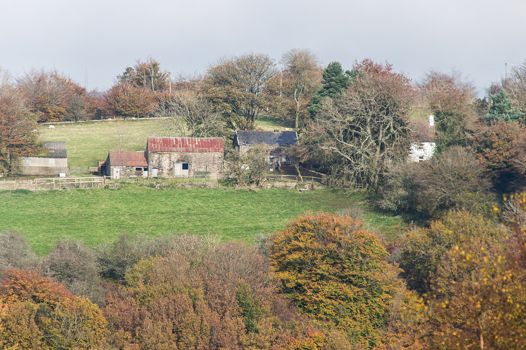
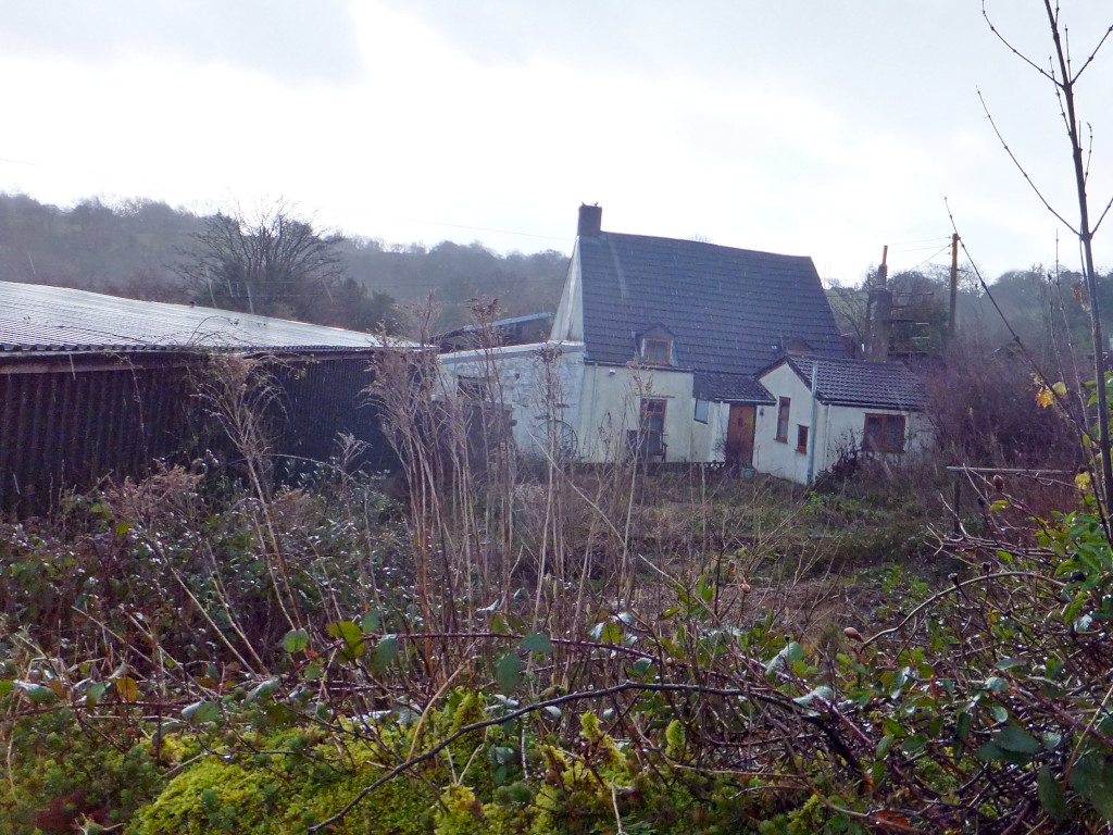
 Graig Farm, Mynyddislwyn |
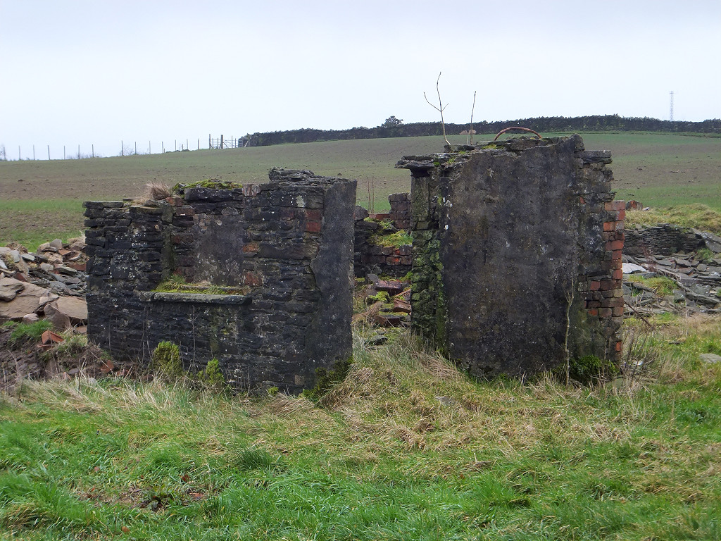 Graig Farm, Mynyddislwyn |
 Graig Farm, Mynyddislwyn |
 Graig Farm, Mynyddislwyn |
 Graig Farm, Mynyddislwyn |
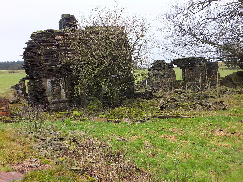
 Pant-y-resk Farm |
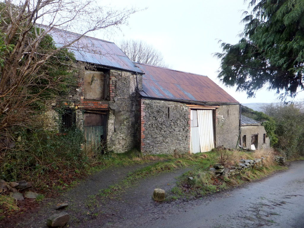 Pant-y-resk Farm barns |
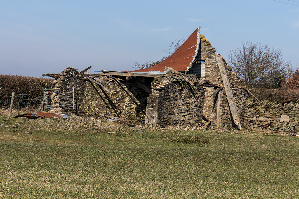 Barn near Ty Garw |
 Pendaren, Ironmongery in the stream |
 Pendaren, Ironmongery in the stream |
 Pendaren, Ironmongery in the stream |
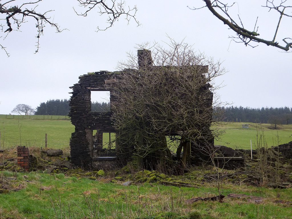
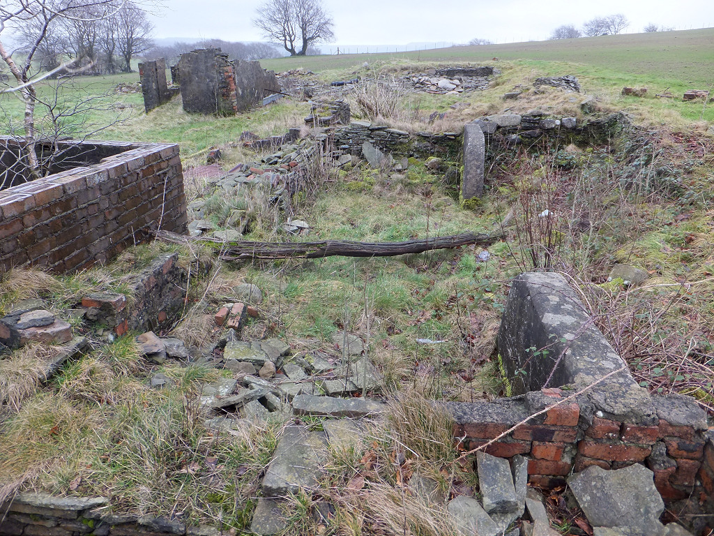
 Sychpant Farm, Mynyddislwyn |
 Sychpant Farm, Mynyddislwyn |
 Sychpant Farm, Mynyddislwyn |
 Sychpant Farm, Mynyddislwyn |
 Sychpant Farm, Mynyddislwyn |
 Sychpant Farm, Mynyddislwyn |
 Sychpant Farm, Mynyddislwyn |
 Sychpant Farm, Mynyddislwyn |
Industrial WalesCollieries, Ironworks, Quarries, Railways, Canals, Tramroads, Tunnels, Culverts and so much more....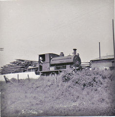
|
Brickworks of WalesBricks are 'History with a label' so here's the story of the Brickworks of Wales - photos, maps and the products themselves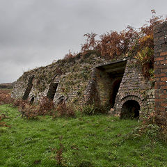
|
Around the WorldMy travels around the UK and the Whole Wide World in search of industries, railways, trams and mines to name a few.
|
Boundary Stones and MilepostsBoundary Stones, Mileposts and other markers in simple alphabetical order of their initials, name or site.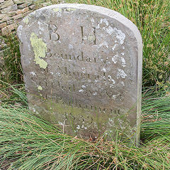
|
Ships and ShippingShips around the World in simple alphabetical order of their name (or apparent area if I can't read the name).
|
The Site Map and IndexA full list of all the pages of the whole website in just one place, so you should find exactly what you are looking for.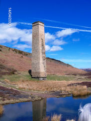
|
About the SiteThe background and technical details about the site, plus a contact page and links to other sites - and a warning !!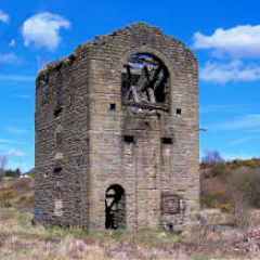
|
Contact MeSomething to add? A great photo? Something wrong? or need to know more about things? Just drop me a line here.
|
Further ReadingYou can find lots of local and other very helpful websites, books, magazines and Facebook groups all listed here.
|