The Industrial Archaeology and History of the Western Valley
Or click on the button to go to :-
Click on the thumbnail to enlarge a photo or map and sometimes read more about it.
Then click 'Full Size' on the toolbar to see it in all its glory.
Pontywaun
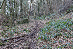
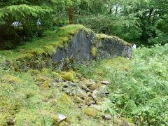
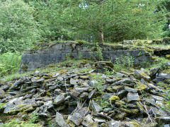
Coed Mamgu Quarry - ST 2239 9219
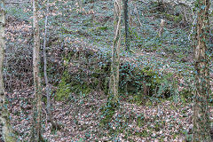
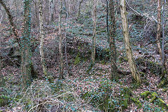
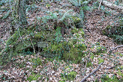
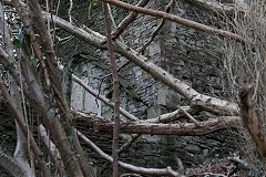
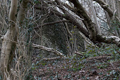
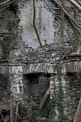
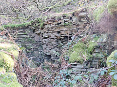
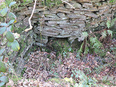
Coed Mamgu Level - ST 2229 9218
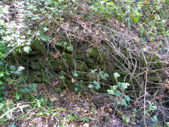
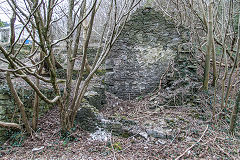
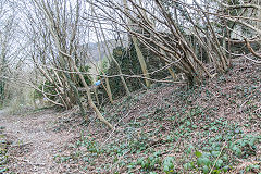
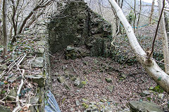
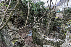
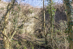
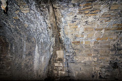
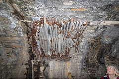
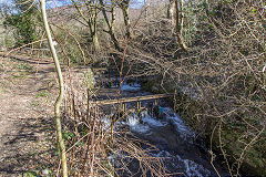
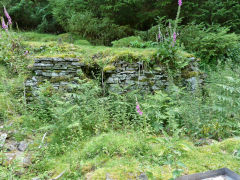
Coed Mamgu Quarry was a surprisingly large quarry active between 1880 and 1920. An impressive face remains but little else. A small level unsuccessfully tried to find coal around 1957 - 58. The adit and some slight, rough tips are beside the lower footpath. 'Coed Mamgu' means 'Grandmother's Wood' incidentally. Rob Southall says 'There were two little levels around Marsh’s (Gelli Unig farm and Marsh’s Quarry). A man called Dicky Rowe was responsible for sinking the level in the 1950s. Linda Terrell’s father, Nye Jenkins, who lived in Pontywaun also worked there. Dicky Rowe had about a yard of coal in there. The entrance eventually collapsed. Dicky Rowe took a big digger in there and dumped all the waste down over the bank. Local people were concerned about this as it was above the canal and railway line.'
Granville Pitman adds "The level on the lower path just passed the Spout /Well which used to supply water via a pump house installed by Ernie Perkins when he lived at Gelli Unig Farm in a caravan. It was worked in the late 50's early 60's by Ellis Thomas and his two sons Gerald and Keith. I actually went inside with them when I was younger not a viable seem with lots of water."
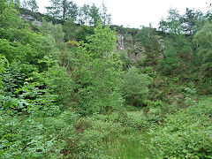
Coed Mamgu Quarry
|
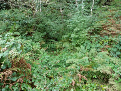
Coed Mamgu level very overgrown
|
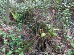
Coed Mamgu level retaining wall
|
Coed Mamgu level retaining wall
|
Gelli-unig Quarry - ST 2232 9271
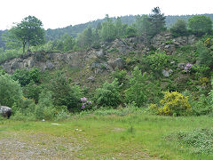
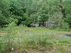
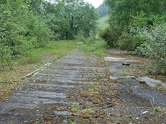
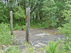
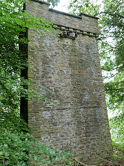
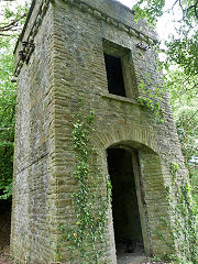
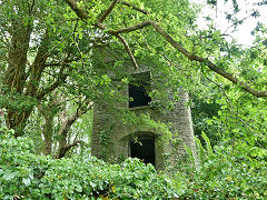
This quarry was marked 'old' on the OS map from 1879 to 1920. After this, it sprung back into life and become much larger but by 1962 was 'disused', finally being used as a coal yard and rubbish tip. As well as the quarry face and the 'raft' for the coal bins, some out-buildings lie between the quarry and the lane, along with an unusual two-storey tower. This was not part of some mythical 'Castell Cwmcarn' but an electricity sub-station. It was at the end of a high-voltage overhead line which came over the mountain from Cwmcarn pit to provide power to the managers house and the colliery houses known as the circle at the end of Garden Suburbs. There's a similar tower next to Machen Quarry.
Gelli-unig Quarry
|
Gelli-unig Quarry coal depot
|
Gelli-unig Quarry coal depot
|
Gelli-unig Quarry coal depot
|
Gelli-unig Quarry sub-station
|
Gelli-unig Quarry sub-station
|
Gelli-unig Quarry sub-station
|
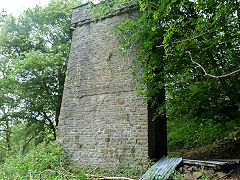
Gelli-unig Quarry sub-station
|
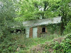
Quarry sub-station out-buildings
|
Pontywaun, c1900
Anne Corke now lives in Canada and has kindly sent me this photo of the main road through Pontywaun in c1900. She says "Just came across your website and found it particularly interesting as my great grandparents, George Albert and Ann Roberts, lived at Gelli Unig farm in the late 1800s, early 1900s. They were timber merchants and I thought you might be interested to see a photo of George (second from left) and his team."
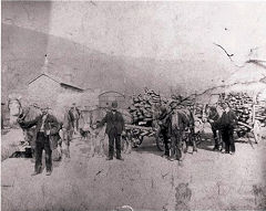
Main Road, Pontywaun, c1900
|
|
|
Pontywaun Level or Gelli-Unig Farm water supply - ST 2223 9233
Pontywaun Garden Suburb Quarry - ST 2229 9318
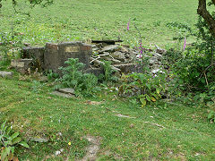
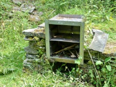
A very small level working briefly around 1900, reported to be at the end of Gelli-Unig Lane (where ever it ended then). The small brick building and some foundations in the middle of the field are the remains of a barn that burned down in the 1980s. The brick building has no visible access so could be the base of a water tank. A number of people say that these also relate to the water supply for Gelli-Unig Farm.
Active by 1879, Pontywaun Quarry kept on going into the 1920s, by which time it possessed a short tramway down to the new 'Garden Suburb' site. Slight traces of the tramway can be made out if you've a good imagination.
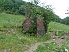
Possibly the base of a water tank
|
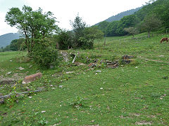
The foundations of a barn
|
The foundations of a barn
|
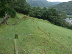
Was Pontywaun level here?
|
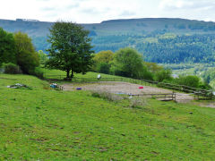
Or was Pontywaun level here?
|
|
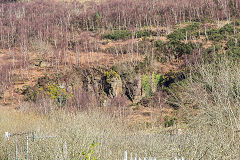
Pont-y-waun Quarry
|
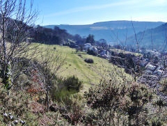
Garden Suburb Quarry
|
Halls Road Tramroad viaduct - ST 2185 9290
The first viaduct was built in 1827 for the tramroad, crossing the valley at right-angles. It was replaced by the steel railway viaduct in 1887 on an easier alignment. The modern viaduct awaits some practical use or other, there are tentative palns for using it as a cycleway and footpath to Newbridge. The original tramroad with it's right-angle bend slumbers in the undergrowth Further up the line various parts of the trackbed and engineering can be explored.
A comprehensive five-part article on Halls Tramroad appeared in 'Archive' magazine, Issues nos 55, 56, 59, 60 and 66 with loads of original photos and the 1840s tithe maps. Fascinating reading!!
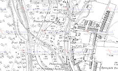
Halls Road Tramroad viaduct, 1886
|
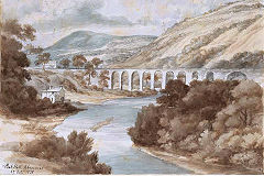
Halls Road Tramroad viaduct, 1838
|
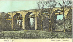
Old and new viaduct, c1890
|
|
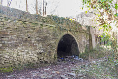
Halls Road Tramroad 1827 viaduct
|
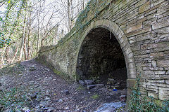
Halls Road Tramroad 1827 viaduct
|
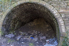
Halls Road Tramroad 1827 viaduct
|
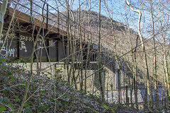
Halls Road Tramroad 1887 viaduct
|
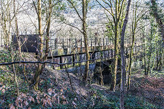
Halls Road Tramroad 1887 viaduct
|
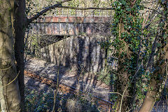
Halls Road Tramroad 1887 viaduct
|
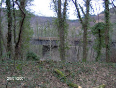
Halls Road Tramroad viaduct
|
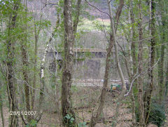
Halls Road Tramroad viaduct
|
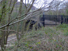
Halls Road Tramroad viaduct
|
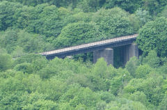
Halls Road Tramroad viaduct
|
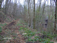
Halls Road Tramroad to viaduct
|
|
York Place and The Spiteful
GWR Chapel Bridge Halt - ST 2155 9365
Trains to Ebbw Vale scream through Chapel Bridge Halt at speeds of up to 20 mph once again but they don't stop here any more! However, in 2016, they are busy doubling the line! The postcard view of Cwmcarn Drill Hall and the Spiteful dates from c1920 and shows the GWR line with a passenger train and Halls Road Tramroad behind it.
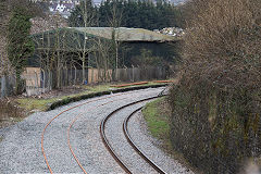
Cwmcarn Station at Chapel Bridge
|
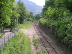
Cwmcarn Station
|
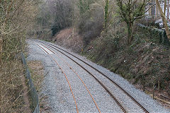
Doubling the line
|
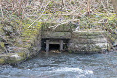
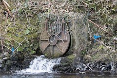
Riverbank drainage channels
|
Riverbank drainage channels
|
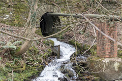
Nant-y-crochen culvert
|
|
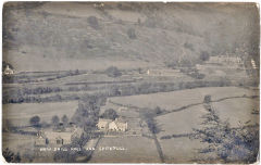
GWR train at The Spiteful, c1920
|
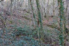
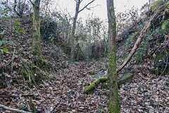
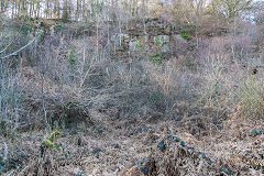
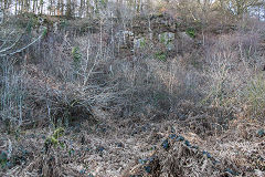
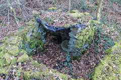
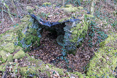
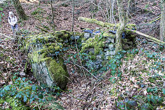
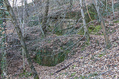
Pont Hall Quarry, Cwmcarn - ST 2157 9281
Pont Hall Quarry operated from before 1880 to 1935 when it was owned by Edward Marsh. The loading bank was on Halls Road and it looks like a three-part incline ran up to the quarry, getting progressively steeper. Between the second and third stages a tramway followed the contours to some trial workings and it looks as if it went under the incline through a low bridge.
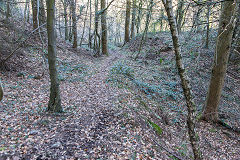
Lower incline downhill
|
Lower incline uphill
|
Middle incline
|
Middle incline
|
Bridge at foot of upper incline
|
Upper incline
|
Upper incline head
|
Pont Hall Quarry
|
Pont Hall Quarry
|
Pont Hall Quarry shelter
|
Pont Hall Quarry shelter
|
Pont Hall Quarry shelter
|
Quarry trial workings
|
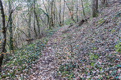
Tramway to trial workings
|
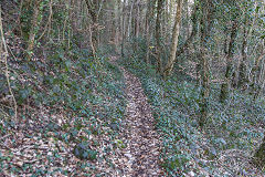
Tramway from trial workings
|
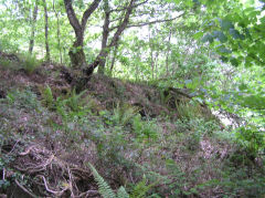
Pont Hall Quarry incline
|
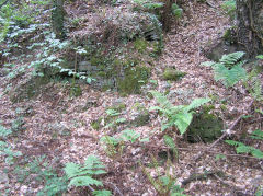
Pont Hall Quarry incline bridge
|
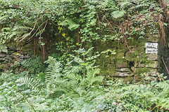
Loading bank at Halls Road siding
|
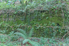
Loading bank at Halls Road siding
|
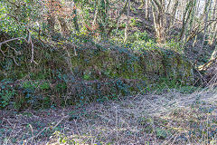
Loading bank at Halls Road siding
|
Halls Road, York Place and Spiteful Row
Halls Road
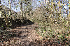
Chapel Bridge crossing
|
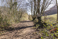
Chapel Bridge crossing
|
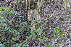
A milepost to nowhere !
|
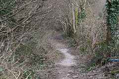
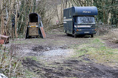
Halls Road railway trackbed
|
York Place - ST 2132 9399
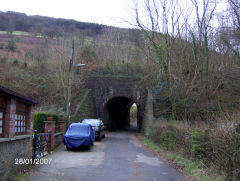
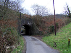
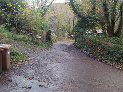
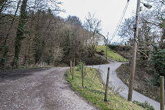
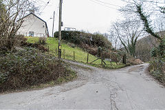
The original tramroad was straightened up here to avoid the 'U' bend across Nant-y-crochen.
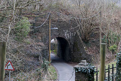
York Place railway bridge
|
York Place railway bridge
|
York Place railway bridge
|
Halls Road railway trackbed
|
Halls Road tramroad trackbed
|
Halls Road tramroad trackbed
|
Halls Road tramroad trackbed
|
Halls Road tramroad trackbed
|
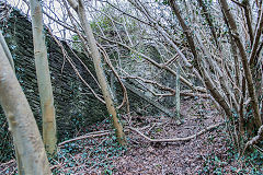
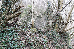
Spiteful Row - ST 2128 9414
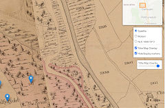
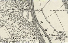
The story of Spiteful Row relates how the row of 8 cottages was built vertically up the hill by Benjamin Hall (Lord Llanover) to prevent Henry Protheroe building a tramroad from his collieries in the Sirhowy Valley to the canal basin at Cwmcarn.
Spiteful Row, 1845
|
Spiteful Row, 1875
|
Spiteful Row
|
Spiteful Row
|
Spiteful Row
|
Spiteful Row from the North
|
Spiteful Row and Halls Road
|
Spiteful Row
|
Spiteful Row
|
Spiteful Row
|
Spiteful Row
|
|
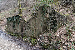
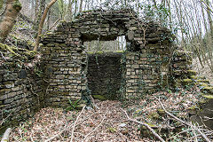
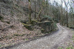
Nant-y-crochen magazine - ST 2107 9415
Nant-y-crochen magazine, locally known as the gunpowder house, may well have been the magazine for the Prince of Wales Colliery. It first appears on the 1899 OS map.
Nant-y-crochen magazine
|
Nant-y-crochen magazine
|
Nant-y-crochen magazine
|
Cwmcarn Village and the dam
The Canal, the Reservoir and Disaster - ST 2225 9355
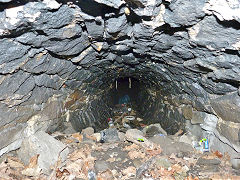
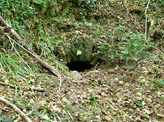
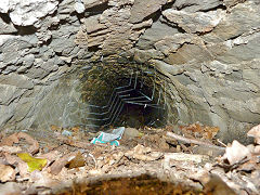
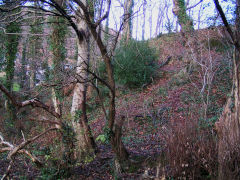
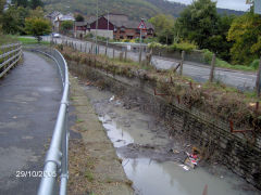
The reservoir that flooded the lower Nant Carn valley was opened in 1792 as a feeder for the Monmouthshire Canal. It was retained by a substantial earth dam across the valley. On Wednesday 14th July 1875, not unusually for South Wales, there was a downpour, the Nant Carn overflowed and the dam failed, probably in the centre where the streambed would have been. This raced down the valley,sweeping away the upper flannel factory. One tale was that a haystack jammed into the culvert under the canal embankment which eventually gave way, taking the lower flannel factory with it. Tragically 12 people lost their lives in the chaos. The remains of the dam are over 30ft / 10m high and on the South side of the stream adjacent to the Cwmcarn Scenic Drive approach road. The outlet is nearest the road and appears to have crossed the valley to the North on a launder, then ran down to the canal beside Feeder Row.

The first sluice outlet
|
The first sluice outlet
|
The second sluice outlet
|
The second sluice outlet
|
Scene of the 1875 disaster
|
|
'Mynydd Islwyn Highway District'
|
The end of the canal
|
Cwmcarn Aqueduct and Flannel Factories - ST 2195 9305
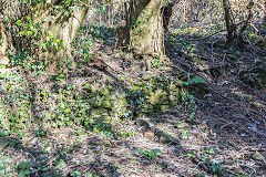
The site of the infamous Cwmcarn Dam Disaster in 1875. The replacement road bridge was originally separate from the aqueduct but road improvements have brought them together.
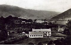
Two small coal levels existed close to the upper flannel factory (ST 2204 9310) prior to 1902 but have disappeared with the building of Cwmcarn Colliery branch and later reclamation work. The old cottages in the 'hole' give a flavour of what was here. The lower flannel factory was at ST 2192 9305 between the new bypass and the canal but, again, only the site remains.
Granville Pitman says "Until the early 70's the old flannel factory area had a house occupied by Arthur Rideout and his family. There was also access to an allotment under Halls bridge used until the Bypass was built, inhabited by Harold Prosser, Bill Maggs and Jack Lewis to name but a few. It was adjacent to the canal sluice gate".
There's an excellent book in the dam disaster :- 'The Cwmcarn Dam Disaster' by Tony Jukes, Danygraig Books.
The lower Flannel factory
|
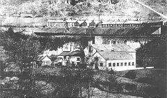
The lower Flannel factory
|
|
|
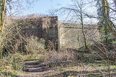
Cwmcarn aqueduct
|
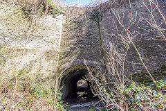
Cwmcarn aqueduct
|
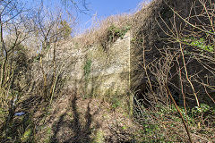
Cwmcarn aqueduct
|
Cwmcarn aqueduct
|
The join in the aqueduct
|
The drip-tray under the aqueduct
|
Cwmcarn aqueduct debris barriers
|
Site of Cwmcarn flannel factory
|
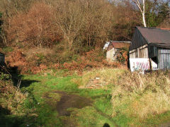
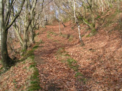
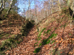
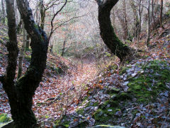
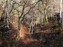
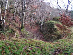
Jamesville Quarry - ST 2192 9394
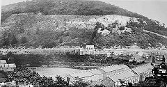
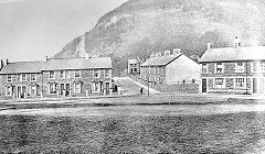
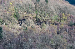
This quarry was operating by 1902 and had closed by 1948. An incline with a half-way passing loop ran down to Park Street, Cwmcarn at SO 2220 9370. The incline can be walked up to the overgrown quarries where some cuttings and well-defined track formations can be found.
Jamesville quarry and incline, c1915
|
Jamesville quarry and incline
|
Jamesville Quarry
|
Jamesville quarry incline foot
|
Jamesville quarry incline
|
Jamesville quarry incline
|
Jamesville quarry incline
|
Jamesville Quarry
|
Jamesville Quarry
|
Cwmcarn Colliery and Nant Carn
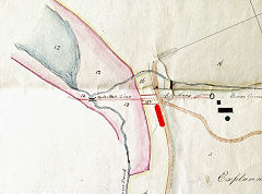
Old Cwmcarn Pit or Beesom Makers Pit - ST 2260 9383
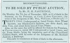
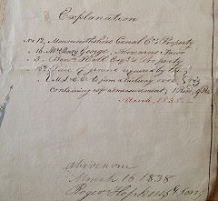
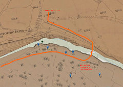
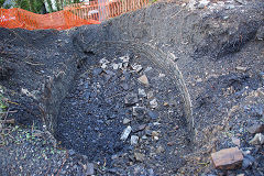
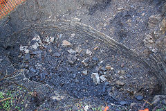
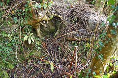
Mining in Cwmcarn dates from earlier than 1831 when 'Cwm Carne Colliery' was put up to auction. Its location is uncertain but it may have been Old Cwmcarn Pit or Beesom Makers Pit which certainly dates from 1836. It was a shallow shaft, 60 yards deep by thee Monmouthshire Iron && Coal Co, also known as 'Abercarn No 6'. It had closed by 1880 and was later used as a cesspit. Recently the shaft was revealed during building work, appearing to be typical of the flat oval shape of water balance pits.
From Stephen Lyons :- "Jack Hyde says that there were water channels which brought water along Forest View (as it is now) to the mine, drawn from the brook, and took it back the same way back into the brook. I have also heard that coal was illegally extracted during times of hardship - possibly in the 1930s? There is also an arched ingress/egress below one side of the shaft just visible in the photo". Stephen has also unearthed details of the original route of the tramway from Old Pit to the canal. A small quarry, disused by 1901, is just a little North of the site.
Cwm Carne Colliery auction,1831
|
Cwmcarn Old Pit,1838
|
Cwmcarn Old Pit,1838
|
Cwmcarn Old Pit,1843
|
Cwmcarn Old Pit shaft
|
Cwmcarn Old Pit shaft
|
Cwmcarn Old Pit shaft access
|
|
Cwmcarn Colliery and corn mill - ST 2363 9342
Cwmcarn Colliery began life in around 1876 as a downcast shaft for the Prince of Wales Colliery, Abercarn but was marked as disused by 1902. In 1912 it was revitalised by EVSIC as Cwmcarn Colliery and the upcast shaft was sunk in 1914. There was a small quarry on the hillside above with an incline down to the colliery.
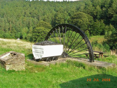
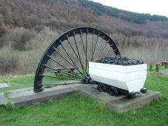
The colliery closed in 1968, being landscaped for the 'Scenic Drive' though a dram and half a winding wheel mark the site.
Cwmcarn corn mill and farm was working beside the colliery throughout it's existence, just above the present-day lake, and odd foundations can be found.
Cwmcarn Colliery monument
|
Cwmcarn Colliery monument
|
Fenced-off spring near Colliery
|
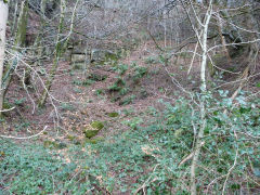
Quarry beside Visitor Centre
|
Cwmcarn Quarry - ST 2450 9385
This small quarry was being worked from c1880 to c1915 and it is marked as 'old' in 1917. To the right of the main quarry there is a stone-built shelter or magazine with another smaller quarry beyond.
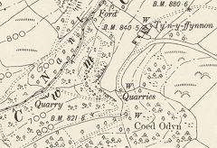
Cwmcarn Quarry, 1899
|
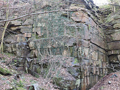
Cwmcarn Quarry, April 2023
|
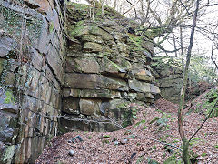
Cwmcarn Quarry, April 2023
|
Cwmcarn Quarry, April 2023
|
Cwmcarn Quarry, April 2023
|
|
Henllys Colliery drainage level - ST 2495 9460
A level appears to have been opened here by 1879 as a free-standing venture but by 1900 there seems little doubt it connected with Henllys Colliery, Cwmbran, and was used as a drainage level. A steady stream of orange water shows it's still connected with the old workings. Next door is a small quarry probably used for the level's construction. This level is probably responsible for the story of a walkable connection between Cwmcarn and Henllys. There was certainly a borehole from Cwmcarn into the Henllys workings to relieve the water pressure but no more than that - unless you know otherwise...
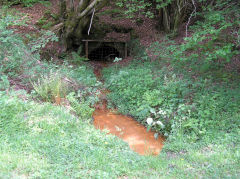
Henllys Colliery drainage level
|
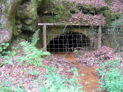
Henllys Colliery drainage level
|
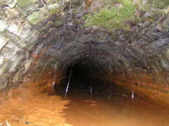
Henllys Colliery drainage level
|
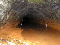
Henllys Colliery drainage level
|
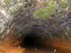
Henllys Colliery drainage level
|
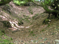
Nant Carn quarry
|
Boundary stones - all over the place
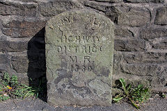
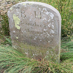
These boundary stones abound... well, they would, wouldn't they? Many of them celebrate the dispute between Benjamin Hall (BH) of Blaenavon and Capel Hanbury-Leigh (CHL) of Pontypool. The inscription reads 'Boundary of Minerals Settled by Act of Parliament, 1839'. Others are much simpler.
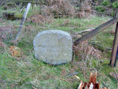
BH, (Benjamin Hall)
|
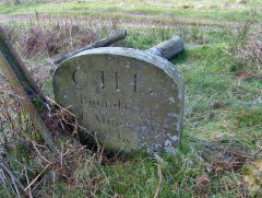
CHL, (Capel Hanbury-Leigh)
|
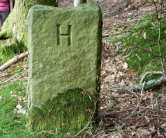
H (Hanbury)
|
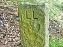
LL (Lord Llanover)
|
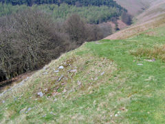
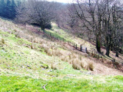
Very old quarries - ST 2590 9550
An old quarry at the head of Nant Carn is shown on the 1882 OS map where earthworks and tips can be seen. The track leading away from it towards Pant Gwyn has all the engineering appearance of a tramway, level and easy curves through a cutting and down an incline but seems to be incompatible with the size of the quarries.
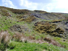
Quarry at head of Nant Carn
|
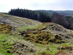
Quarry at head of Nant Carn
|
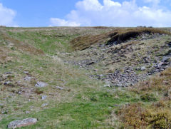
Quarry at head of Nant Carn
|
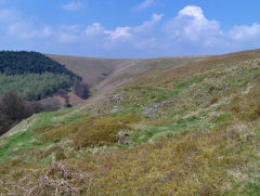
Quarry at head of Nant Carn
|
Quarry at head of Nant Carn
|
Quarry at head of Nant Carn
|
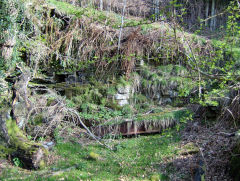
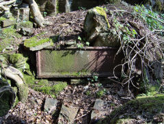
Rhyswg Fawr - ST 2280 9453
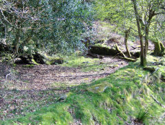
There's been a pond or 'water feature' here since at least 1880, a rectangular stone construction but the interesting bit is that it seems to be backed by cast or wrought iron panels. No water in it now but what was it used for?
Iron panels and foundations
|
Iron panels and foundations
|
Iron panels and foundations
|
The Lost Farmsteads of the Nant Carn Valley
Hollybush Cottage - ST 2290 9395
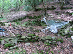
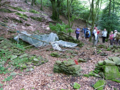
First on the list of Lost Farmsteads is Hollybush Cottage, found after snaking our way up the hillside, hidden away off the beaten track. But not so hidden that the local children hadn't found it and built their own den there
Hollybush Cottage, Nant Carn
|
Hollybush Cottage, Nant Carn
|
|
Cnwc - ST 2424 9396
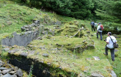
Next is the Cnwc (pronouced Genook, so it seems), a much more extensive premises altogether. Once again it's been re-cycled as someone has installed a stainless steel barbecue in a suitable-sized slot. Brian Williams tells me that his parents lived at the Cnwc just after the war, however, one day the chimney caught fire, by the time Abercarn fire brigade were alerted and got there the house was well alight, his mother got his eldest sister and as much of the household goods out as possible, but, they pretty much lost everything, his father came home off days at Cwmcarn colliery to a smoking ruin. As my Uncle, Stan Olley, was Station Officer at Abercarn around that time, it could have been him who came up on the fire engine!
Cnwc Farmstead
|
Cnwc Farmstead
|
Cnwc Farmstead
|
Cnwc Farmstead
|
Cnwc Farmstead
|
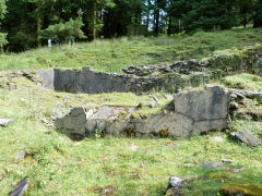
Cnwc Farmstead
|
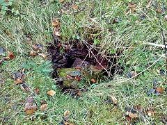
Cnwc Farmstead well
|
|
Pen-y-pant - ST 2384 9408
A beautiful stroll through a tunnel of gnarled, old beech trees dripping with moss, an ancient field boundary way before the conifers, brings us to a mystery, Pen-y-pant. Virtually nothing remains here but nettles and an old iron tank, not even clear foundations. But the mystery is that the ground seems to be colliery waste but no evidence of mining. However Brian Williams has the answer, he says "Pen-y-pant farm was worked by my grandfather Arthur Williams till he retired around 1968/9 then as the forestry commision owned the whole property they literally razed a beautiful house to the ground and planted the farm under the ubiquitous conifer, the coal waste you saw was brought to the farm yard to build it up on the one side to allow a storage shed to be erected, by a trick of fate this shed was also destroyed by a fire."
Rhyswg Fach - ST 2406 9412
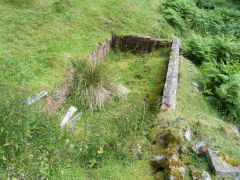
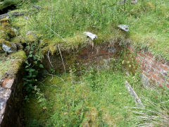
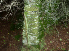
Just next door is Rhyswg Fach, proper walls and a friendly lizard, home from home.
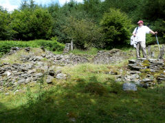
Rhyswg Fach
|
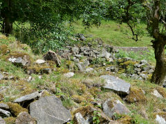
Rhyswg Fach
|
Rhyswg Fach
|
Rhyswg Fach
|
Rhyswg Fach
|
|
Pwll Tra - ST 2588 9488
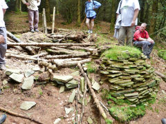
We need a break but we have to suffer Rob's recitation of the legend of Pwll Tra before he'll let us rest. After lunch we find a modern hidey-hole from the 1970s, an eco-house complete with campbed and fireplace. Alright in the summer, I suppose, but those Cwmcarn winters???

Pwll Tra
|

Pwll Tra
|
Pwll Tra ecohouse
|
Pant Gwyn - ST 2506 9432
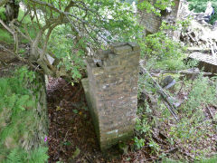
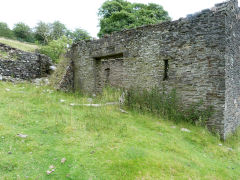
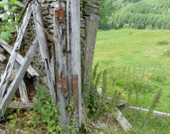
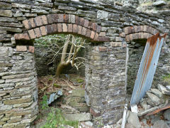
Pant Gwyn is the last lost farmstead, a mix of old and not-so-old with the stark chimney still standing. Now we're on the downward trail past the only inhabited and working farm in the valley. So despite the modern forestry and leisure industries the much older traditions still survive - just!
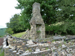
Pant Gwyn Farmstead
|
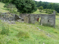
Pant Gwyn Farmstead
|
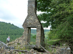
Pant Gwyn Farmstead
|
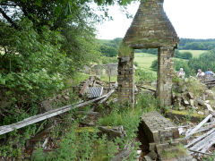
Pant Gwyn Farmstead
|
Pant Gwyn Farmstead
|
Pant Gwyn Farmstead
|
Pant Gwyn Farmstead
|
Pant Gwyn Farmstead
|
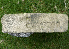
Brick by 'H Parfitt, Cwmbran'
|
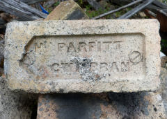
Brick by 'H Parfitt, Cwmbran'
|
|
|
Acknowledgments, sources and further reading.
Thanks to :- Andrew Gadd, David Williams, Steve Davies, Jim Lewis, Stephen Lyons, Rob Southall, Richard Terrell, Lin Bryant, Chris Bartley, www.drillhalls.org.
'A historical tour around Mynyddislwyn Mountain' by Len Burland, Old Bakehouse Publications.
'The Cwmcarn Dam Disaster' by Tony Jukes, Danygraig Books.
'Halls Tramroad' by Foster Frowin - A comprehensive five-part article appeared in 'Archive' magazine, Issues nos 55, 56, 59, 60 and 66 with loads of original photos and the 1840s tithe maps. Fascinating reading!!
A Guide to the Website
Industrial Wales
Collieries, Ironworks, Quarries, Railways, Canals, Tramroads, Tunnels, Culverts and so much more....
|
Brickworks of Wales
Bricks are 'History with a label' so here's the story of the Brickworks of Wales - photos, maps and the products themselves
|
Around the World
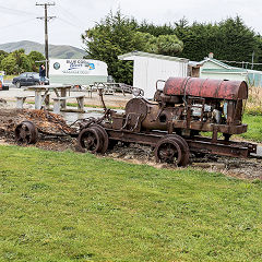
My travels around the UK and the Whole Wide World in search of industries, railways, trams and mines to name a few.
|
Boundary Stones and Mileposts
Boundary Stones, Mileposts and other markers in simple alphabetical order of their initials, name or site.
|
Ships and Shipping
Ships around the World in simple alphabetical order of their name (or apparent area if I can't read the name).

|
The Site Map and Index
A full list of all the pages of the whole website in just one place, so you should find exactly what you are looking for.
|
About the Site
The background and technical details about the site, plus a contact page and links to other sites - and a warning !!
|
Contact Me
Something to add? A great photo? Something wrong? or need to know more about things? Just drop me a line here.

|
Further Reading
You can find lots of local and other very helpful websites, books, magazines and Facebook groups all listed here.
|
All rights reserved - Phil Jenkins
