The Industrial Archaeology and History of the Western Valley
Or click on the button to go to :-
Click on the thumbnail to enlarge a photo or map and sometimes read more about it.
Then click 'Full Size' on the toolbar to see it in all its glory.
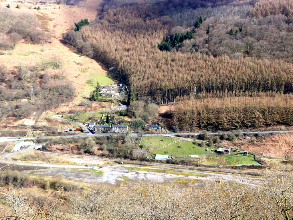
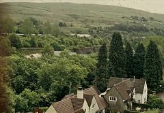
From Aberbeeg to Cwm
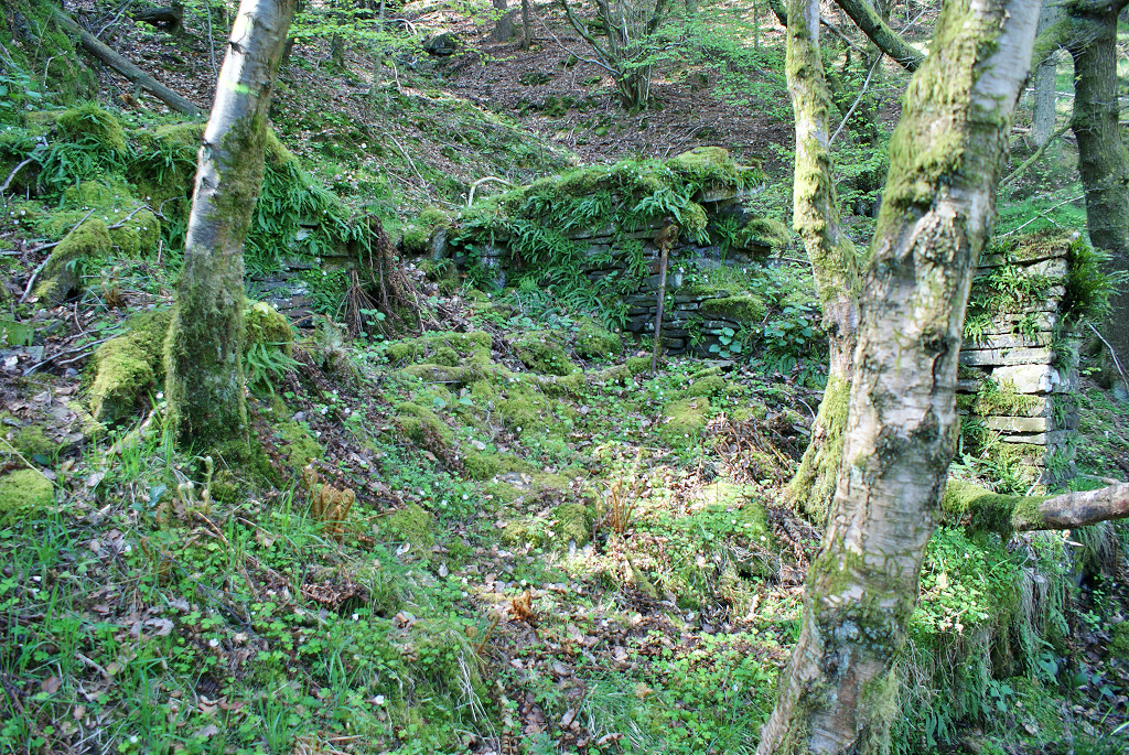
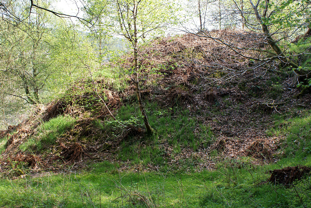
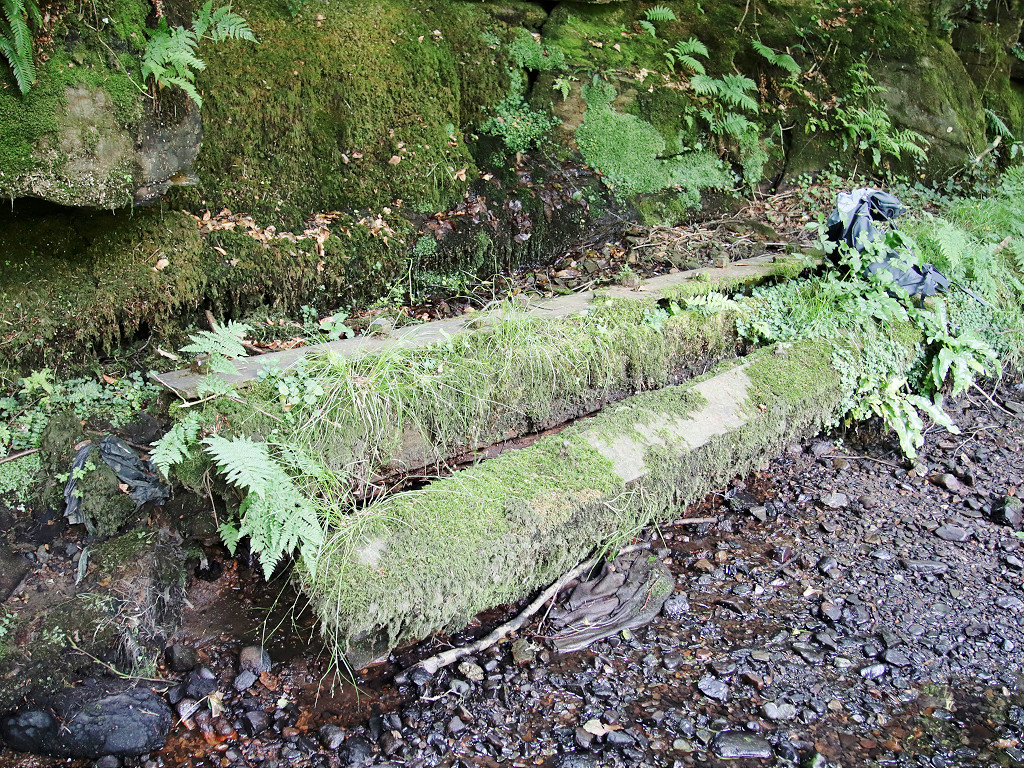
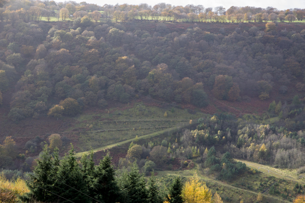
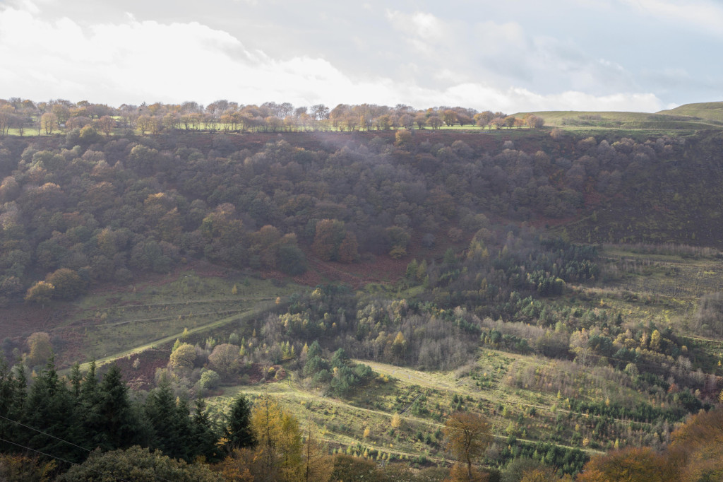
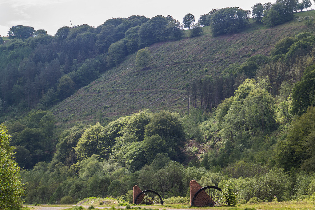
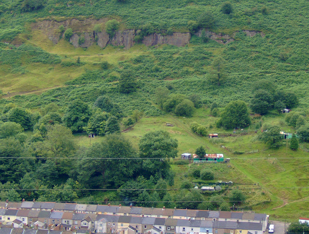
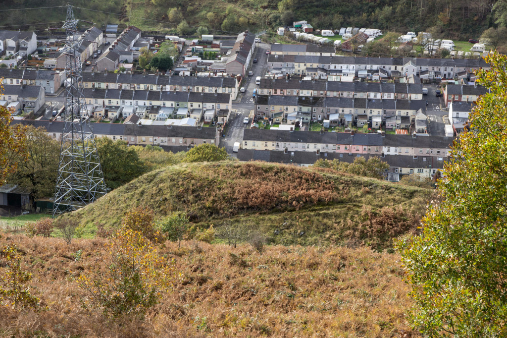
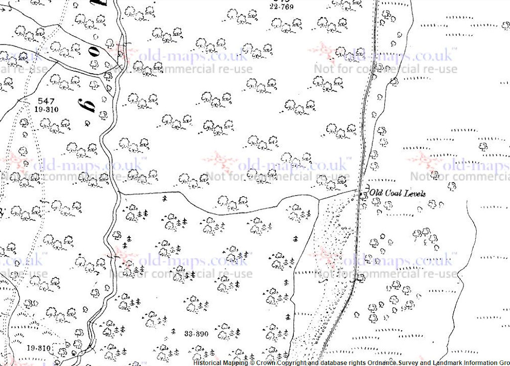
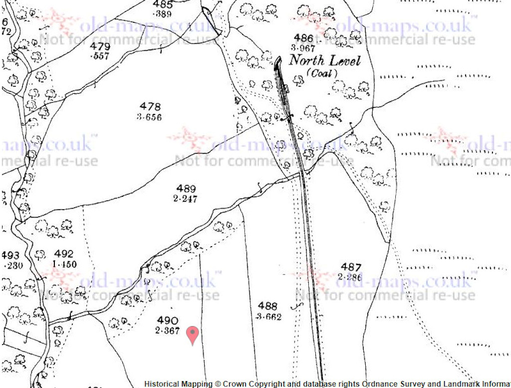
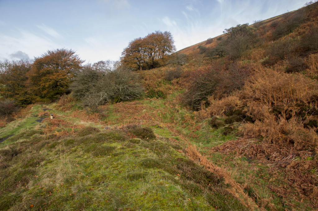
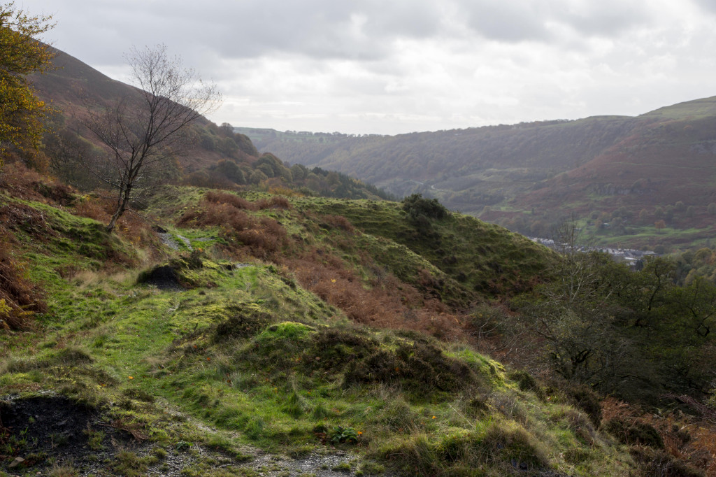
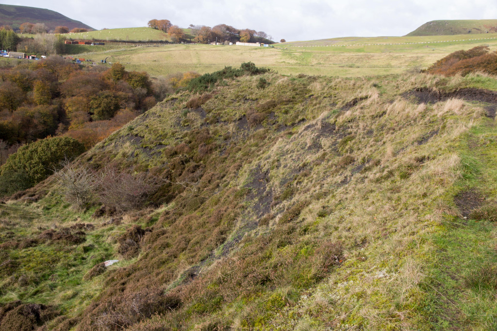
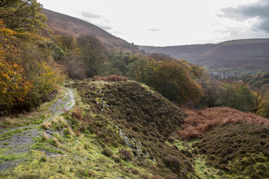
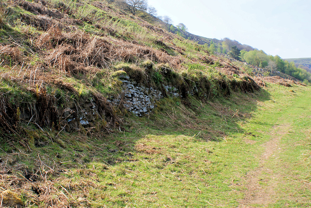
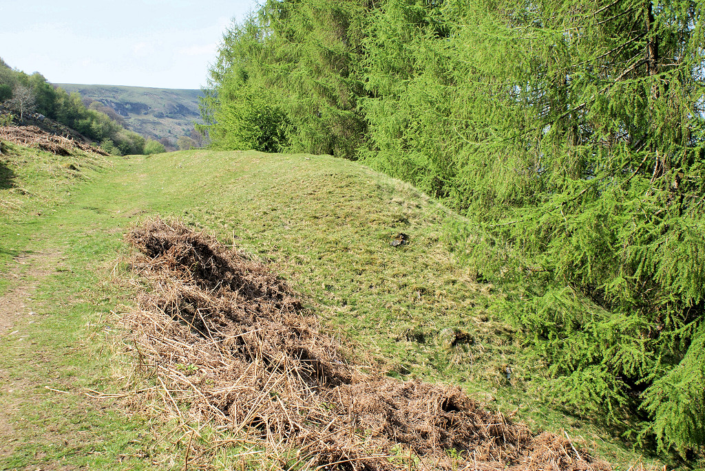
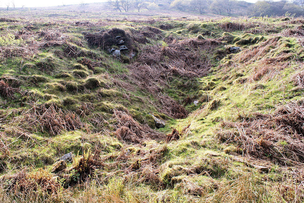
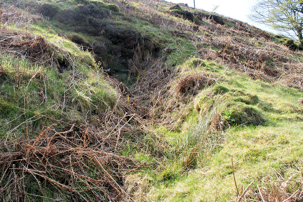
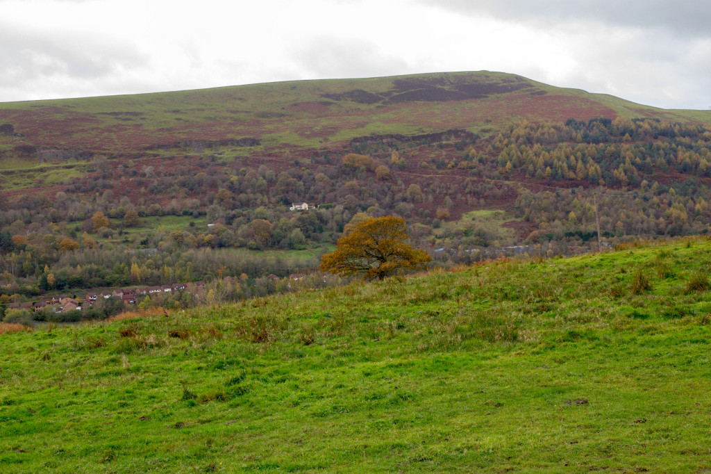
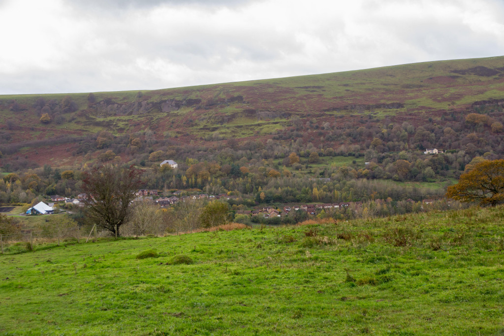
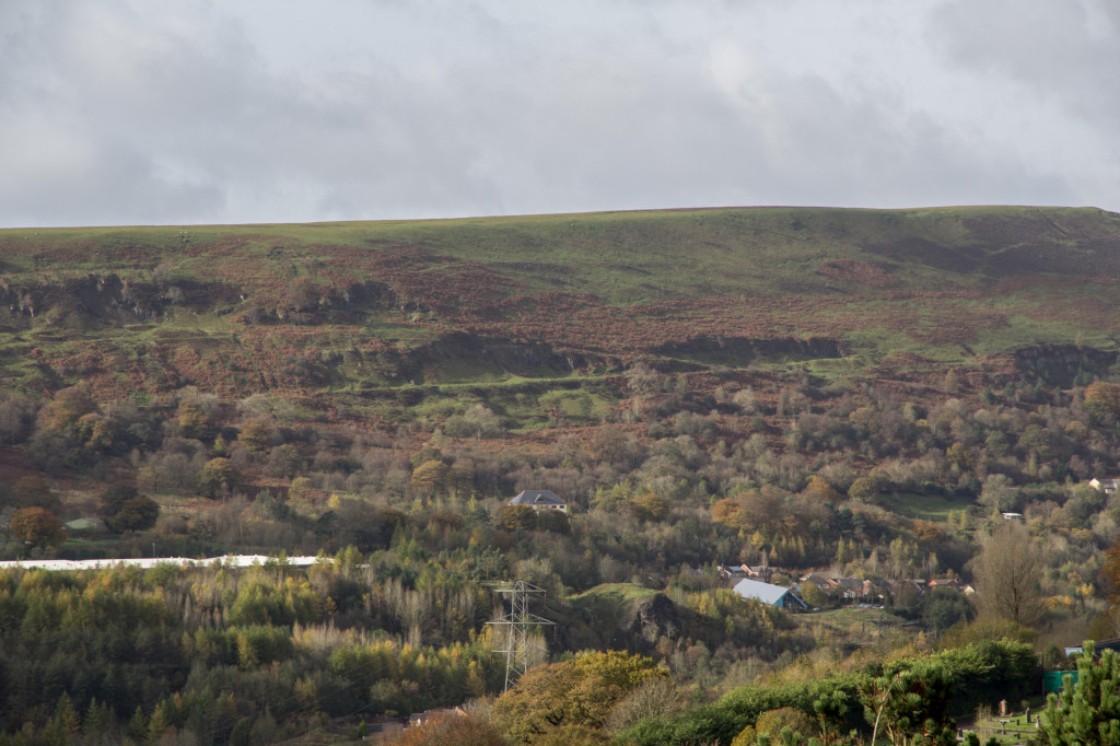
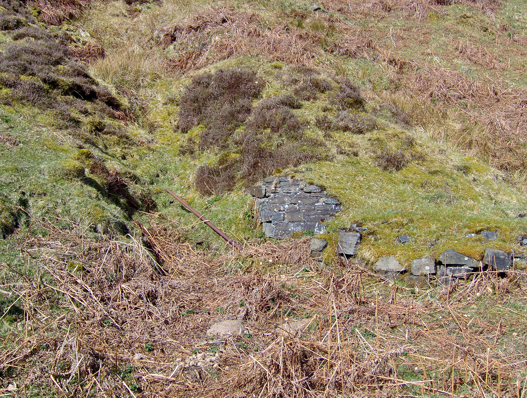
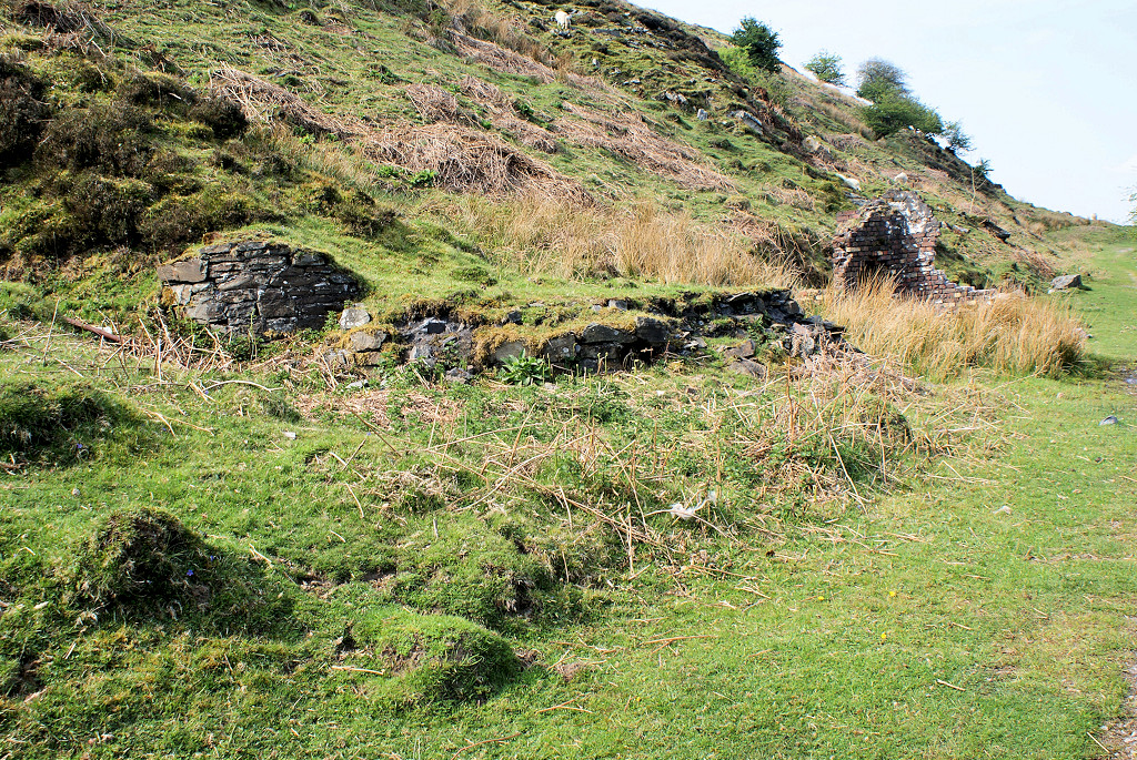
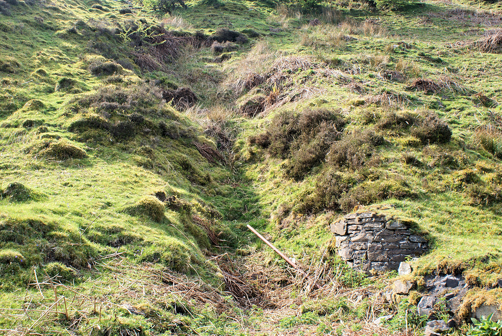
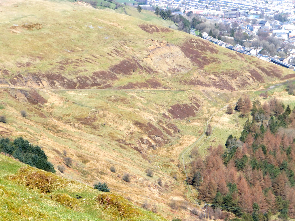
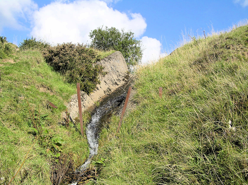
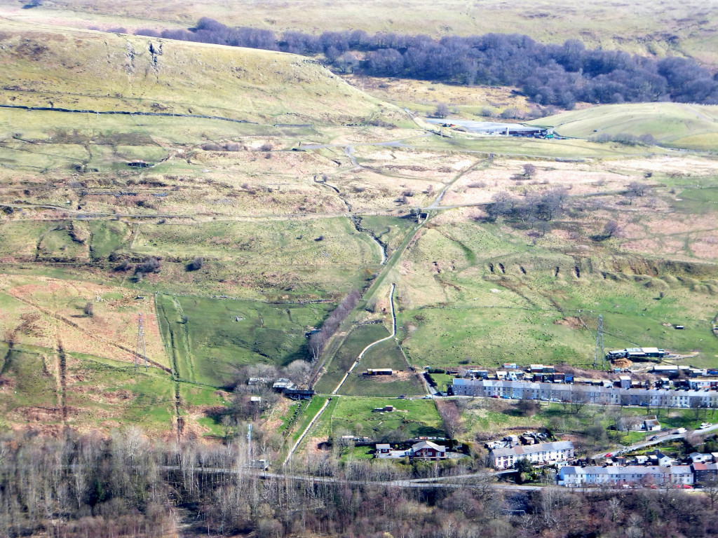
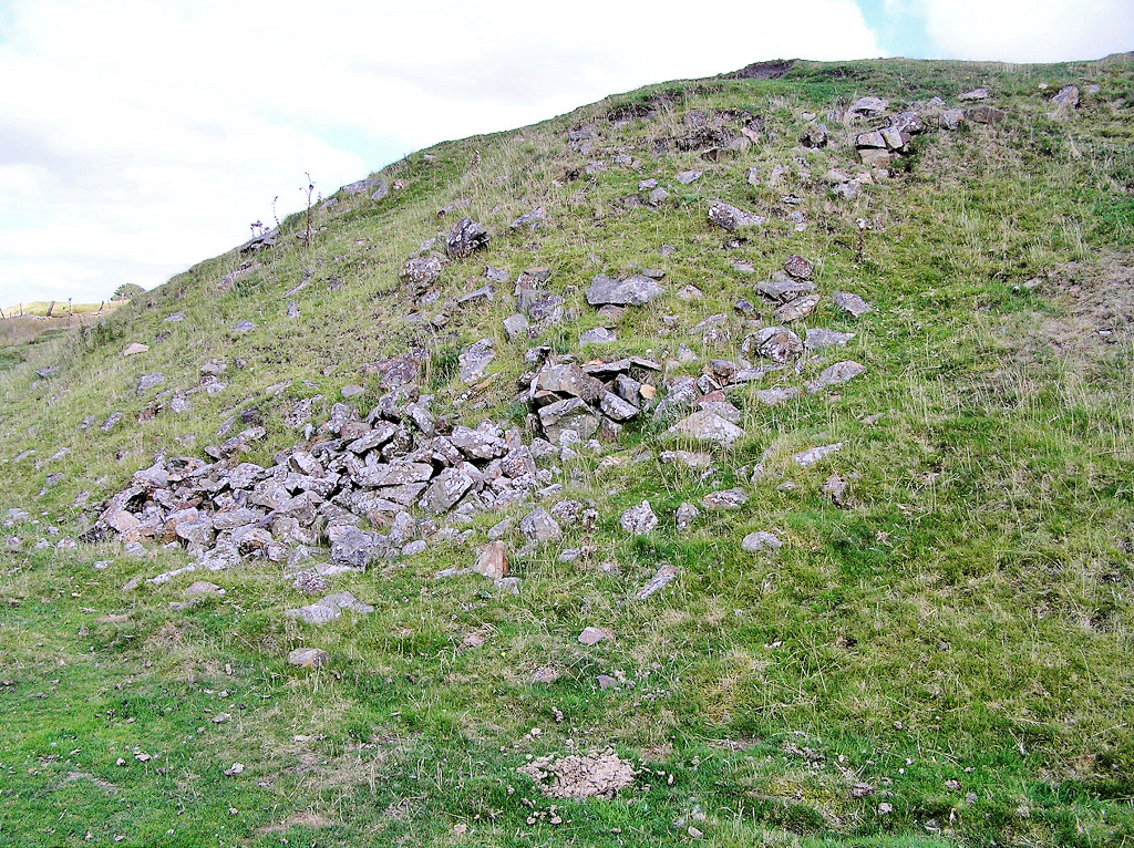
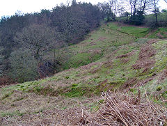
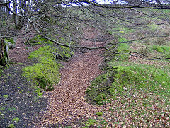
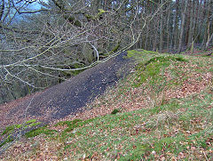
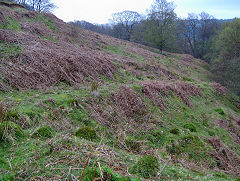
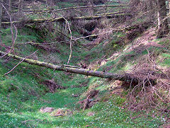
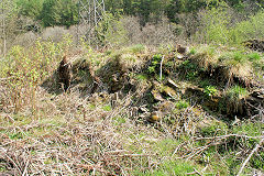
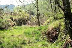
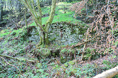
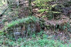
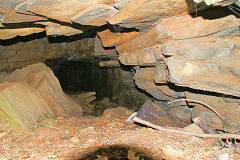
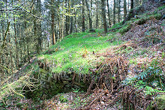
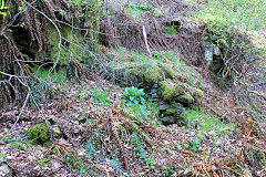
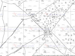
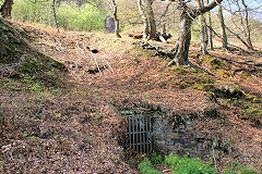
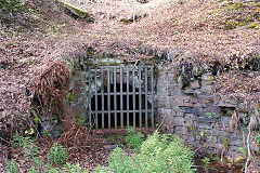
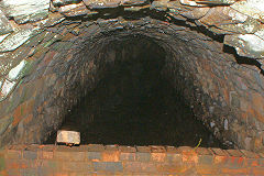
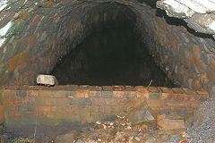
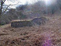
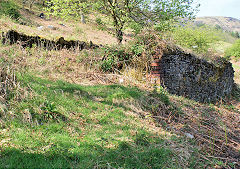
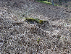
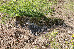
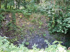
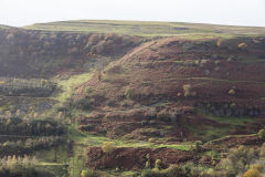
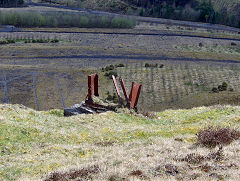
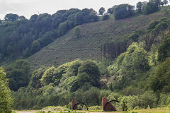
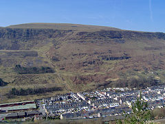
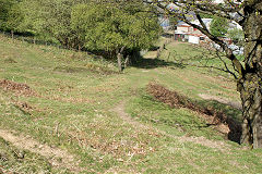
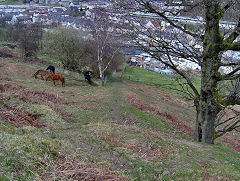
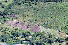
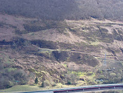
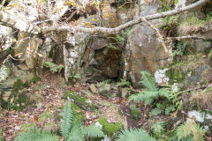
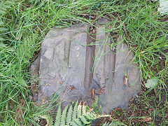
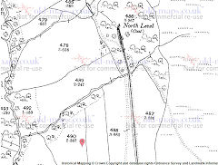
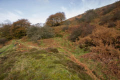
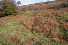
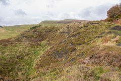
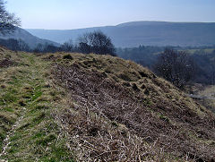
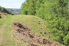
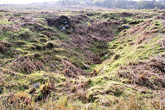
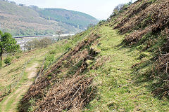
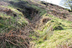
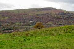
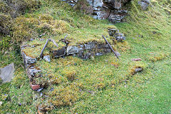
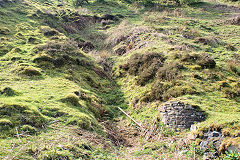
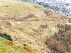
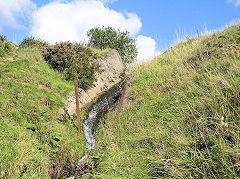
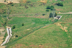
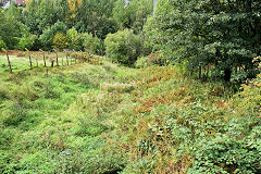
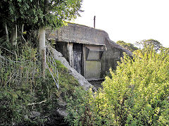
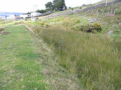
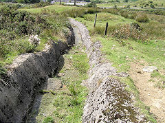
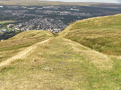
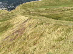
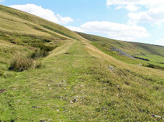
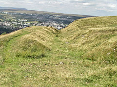
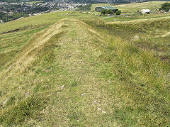
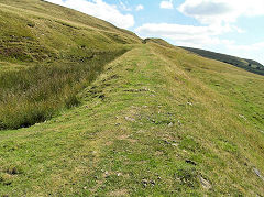
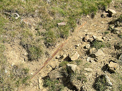
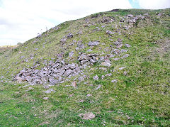
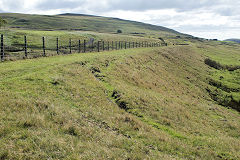
Pen-y-fan levels - SO 2000 0187
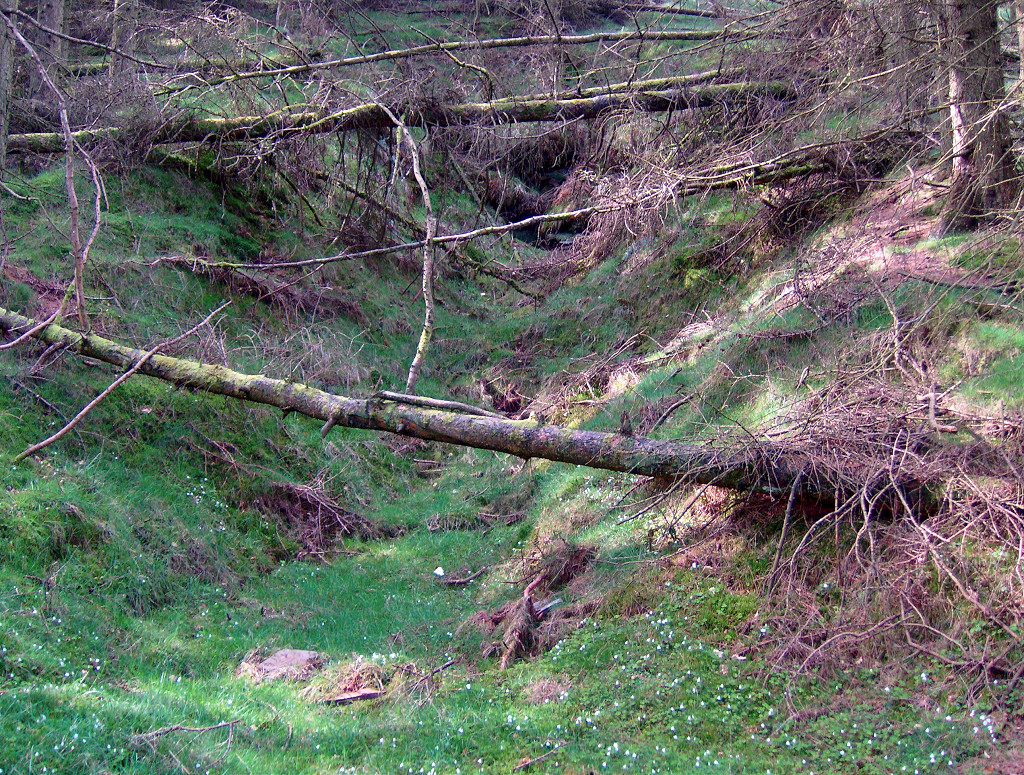
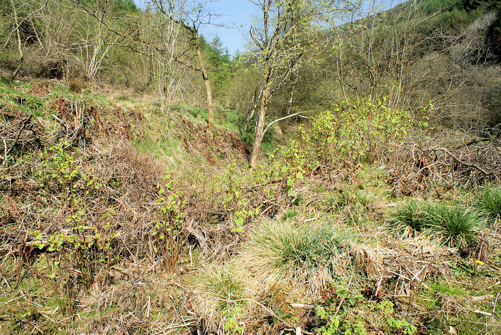
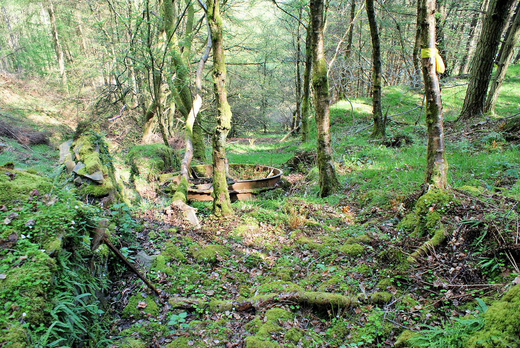
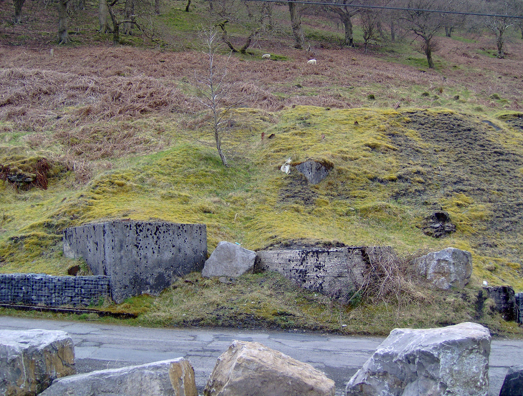
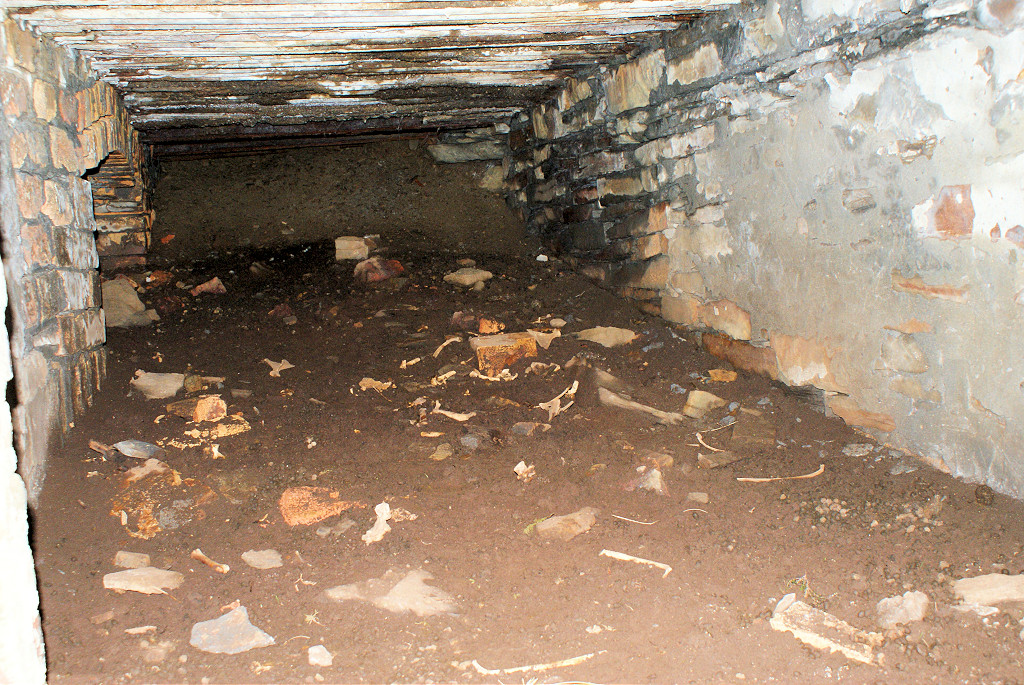
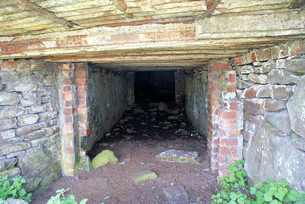
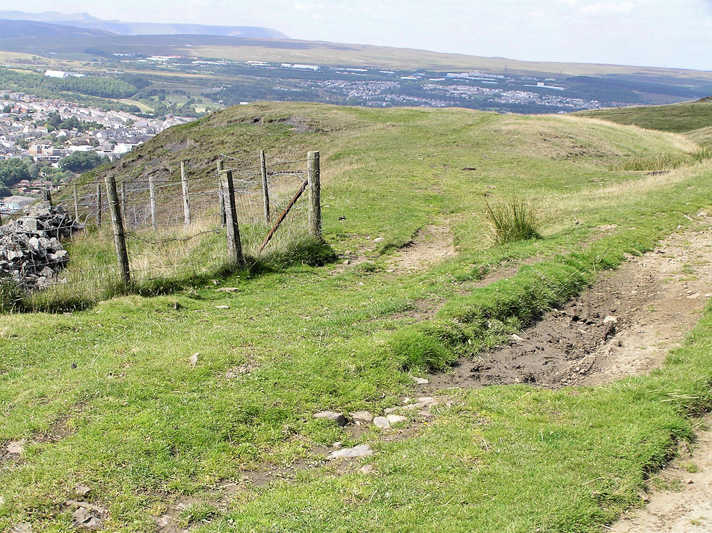
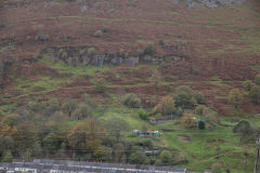
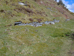
To the South of Old Pen-y-fan Colliery are what appears to be a series of 'strike' or 'old mens' workings.
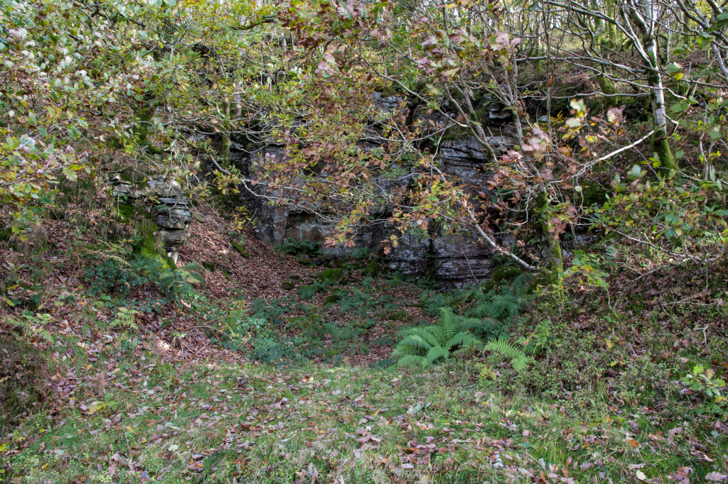
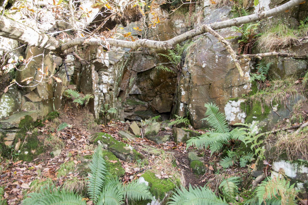
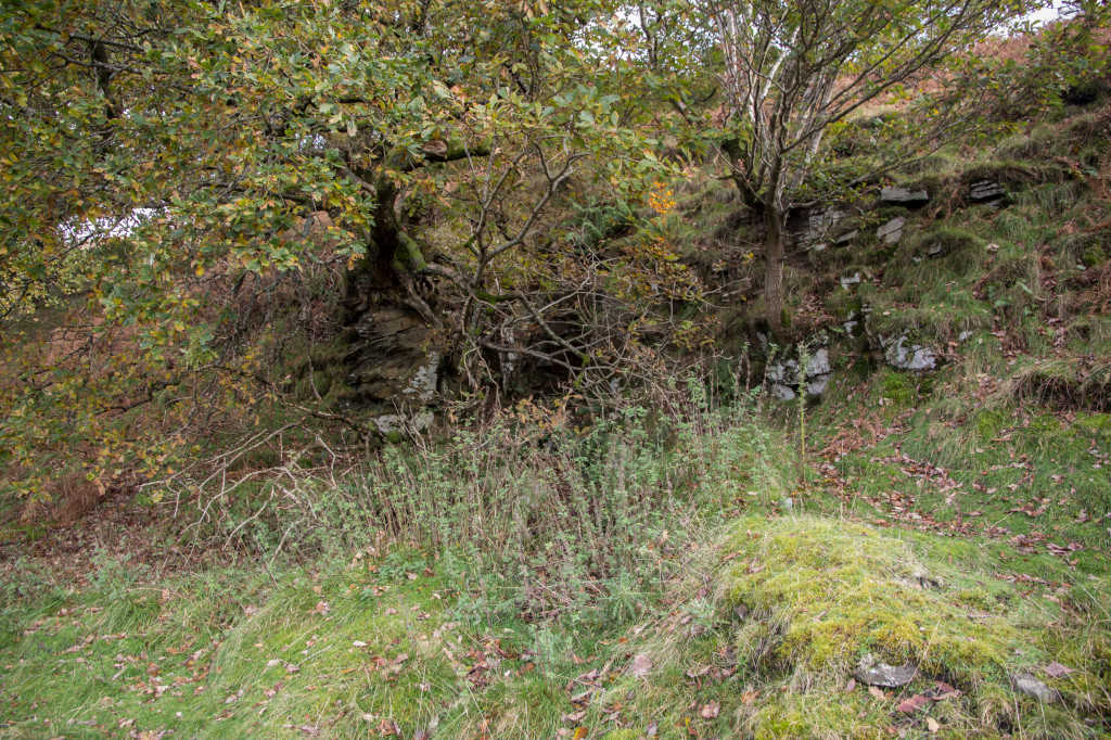
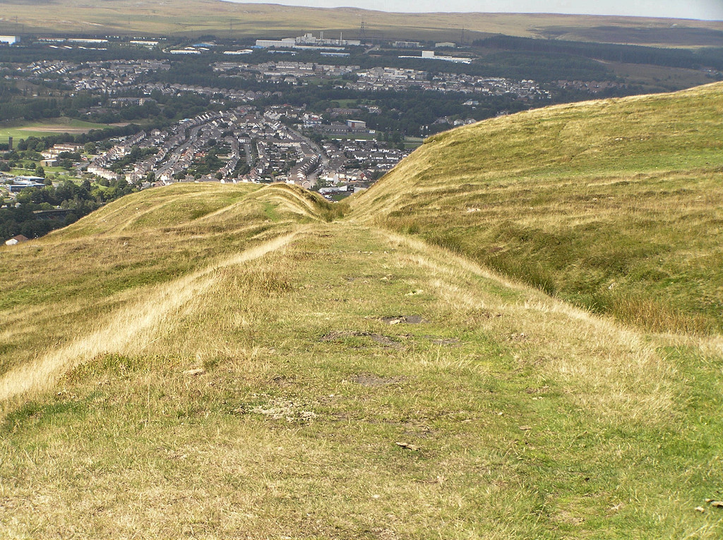
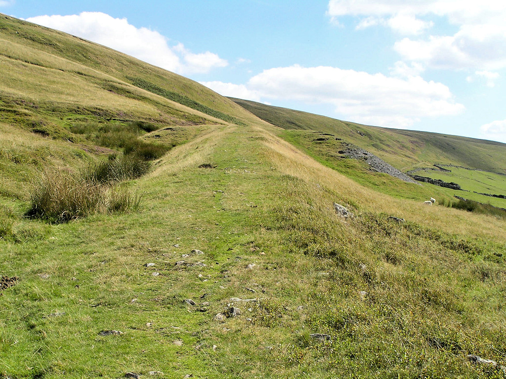
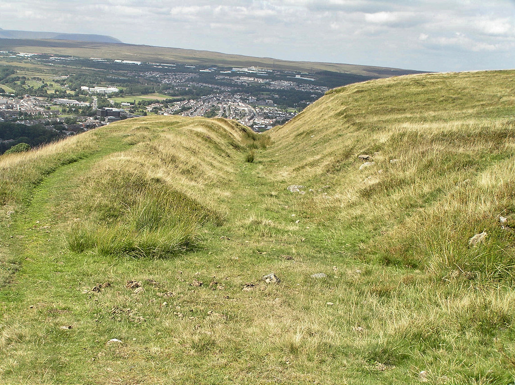
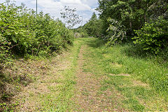
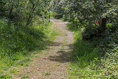
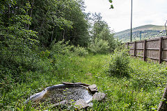
Old levels near Penyfan Colliery
|
Old levels near Penyfan Colliery
|
Old levels near Penyfan Colliery
|
Old levels near Penyfan Colliery
|
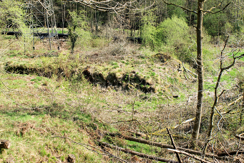
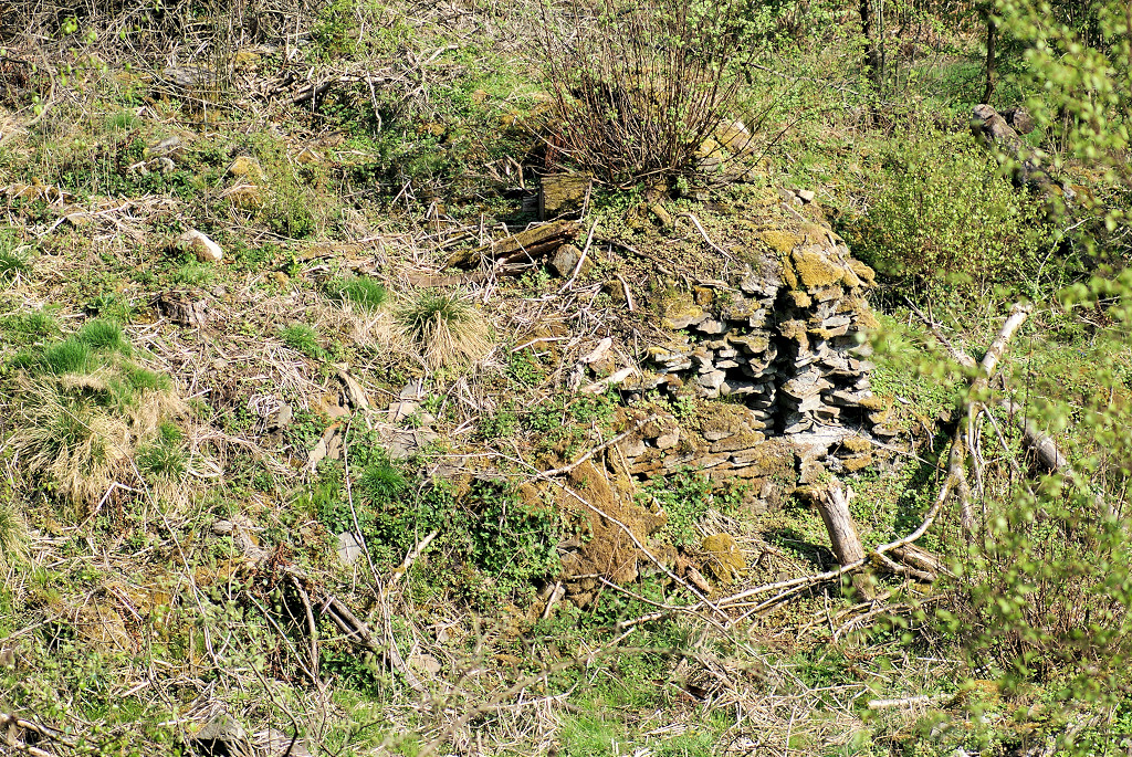
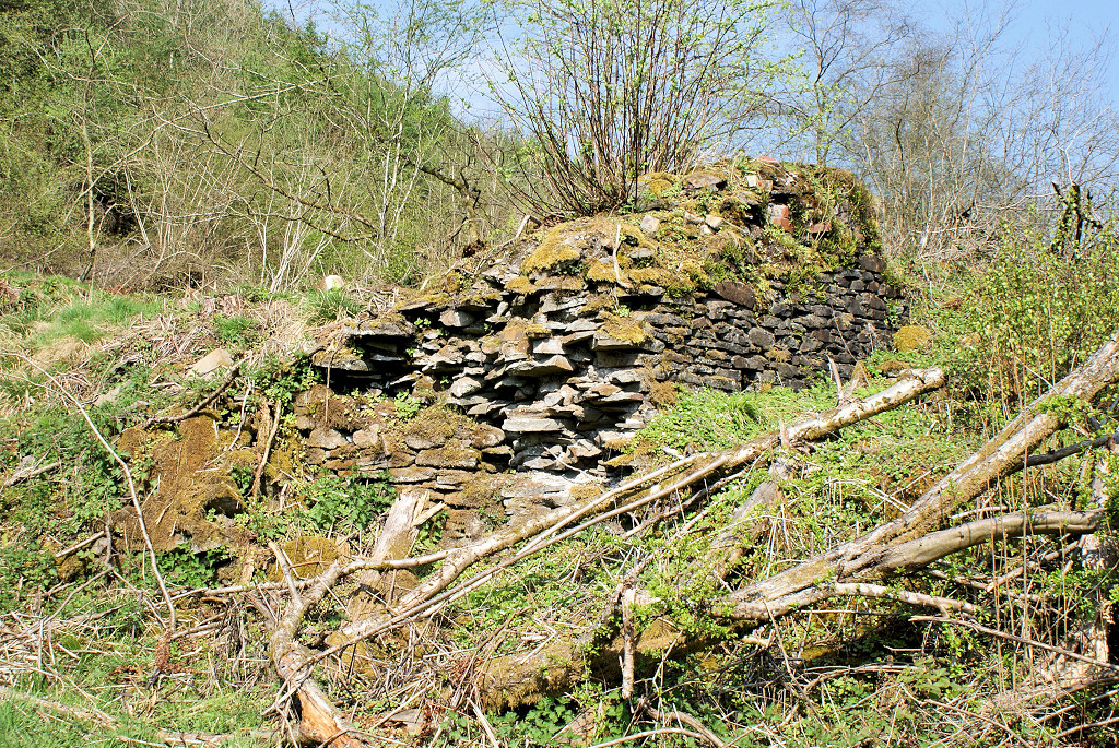
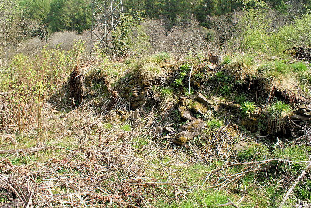
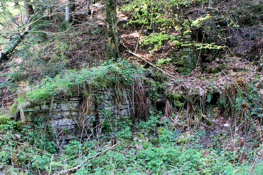
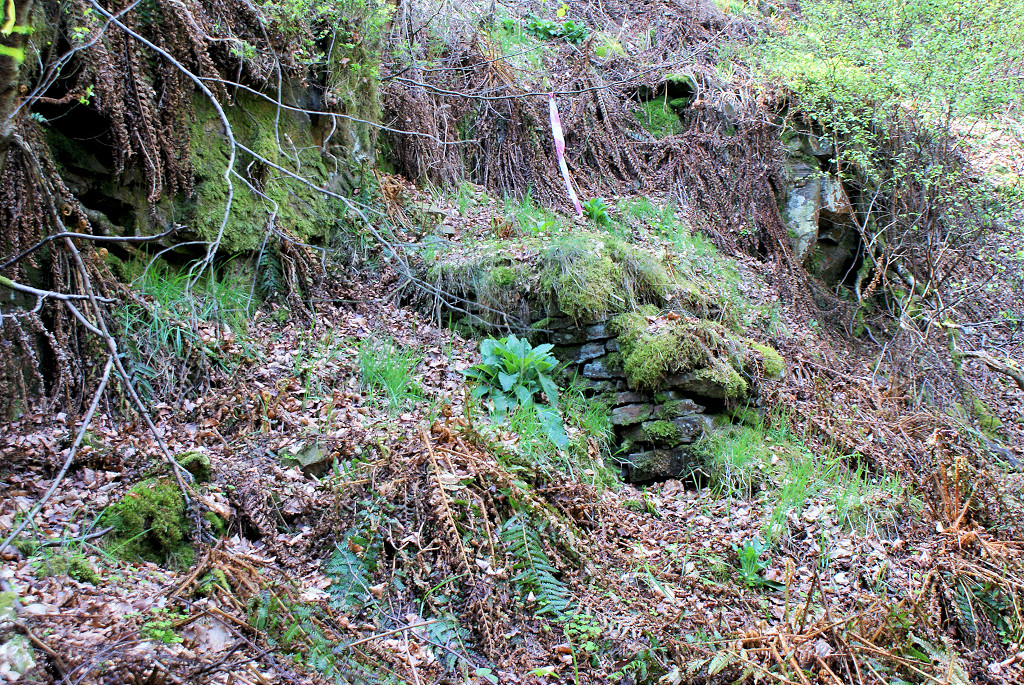
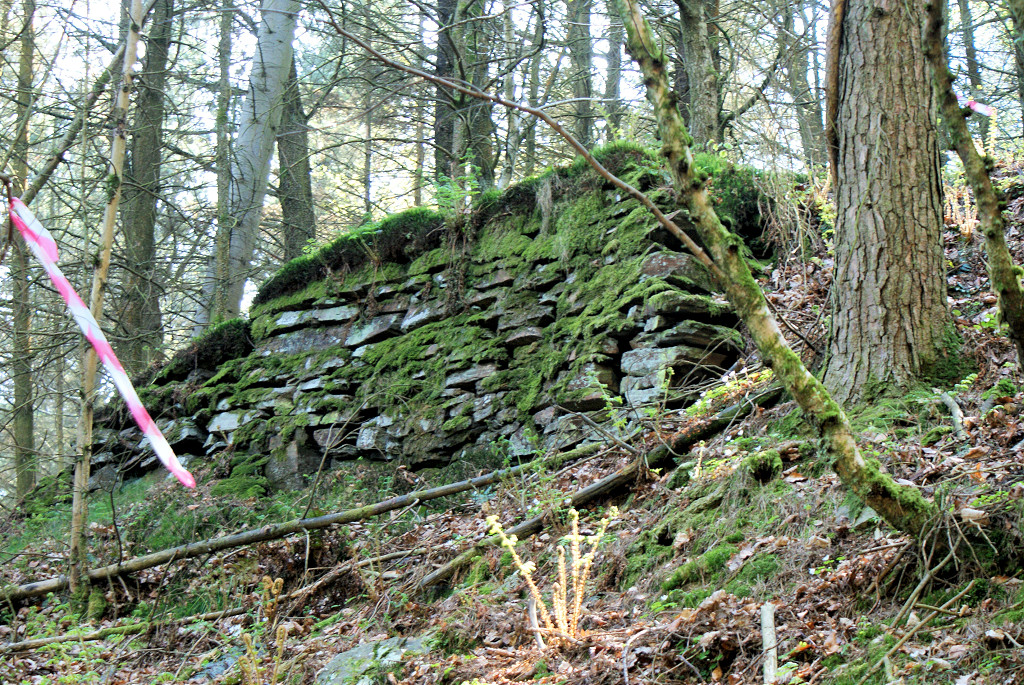
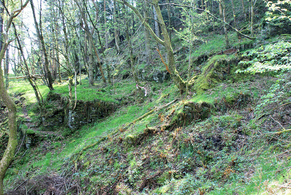
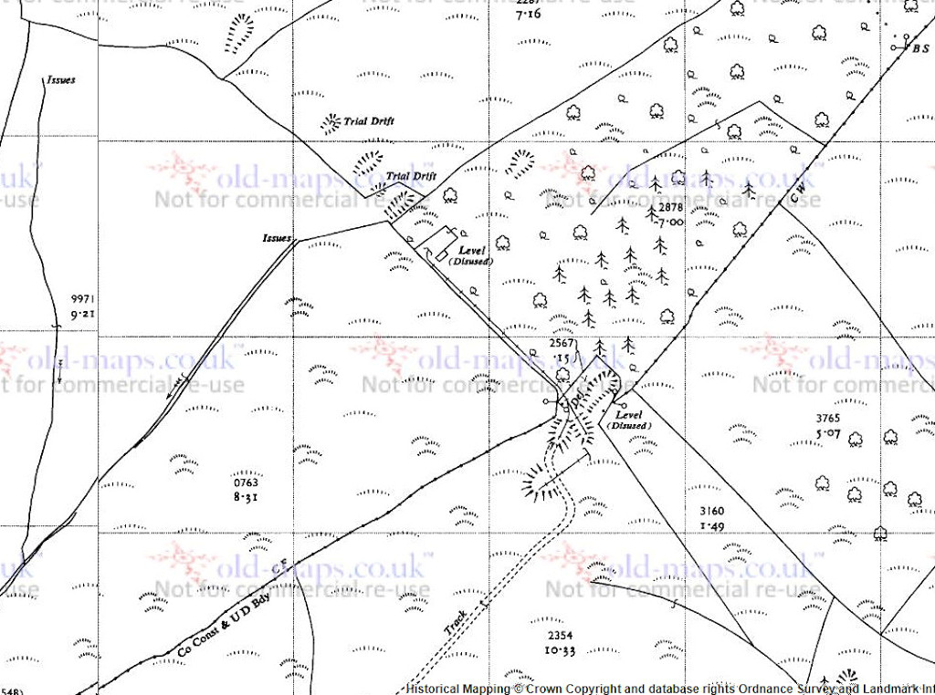
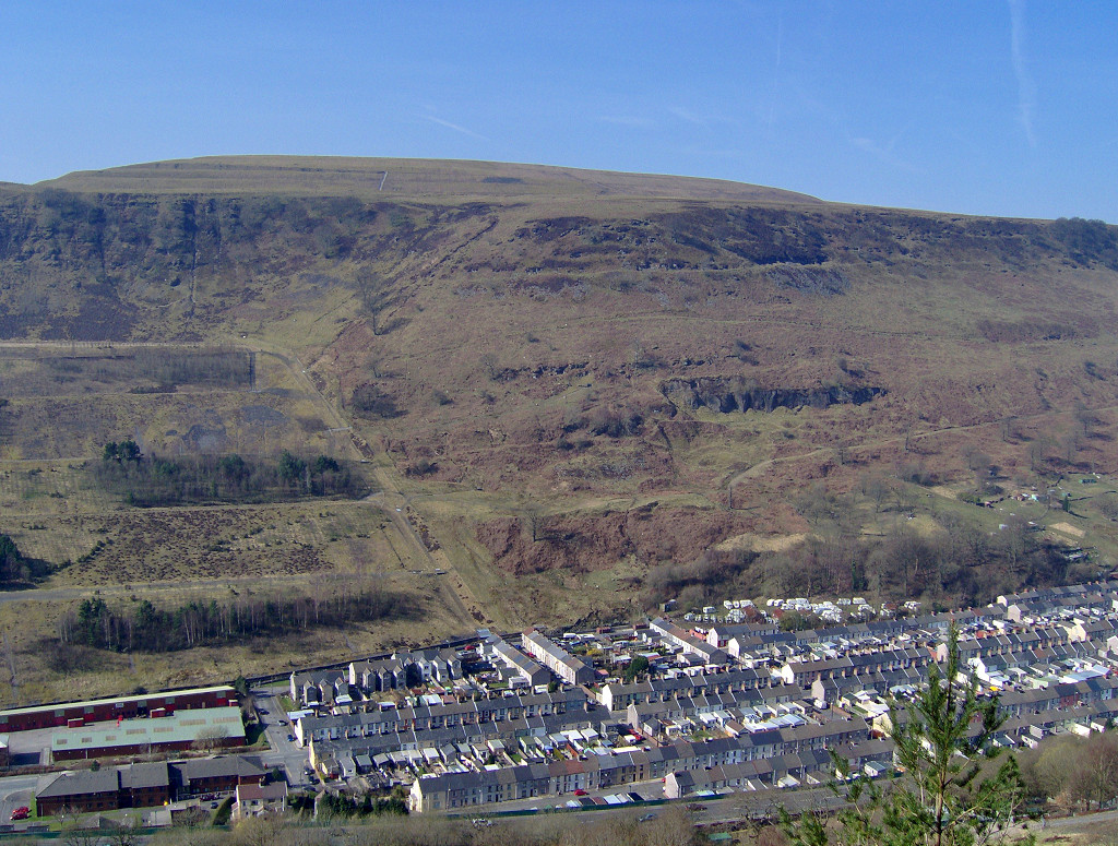
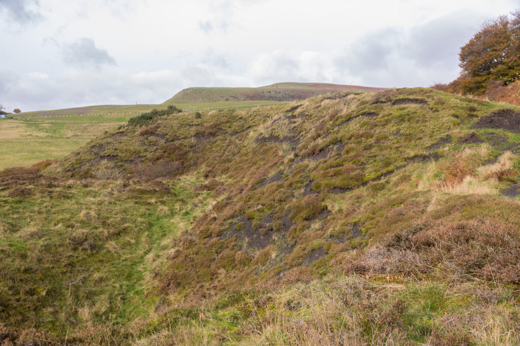
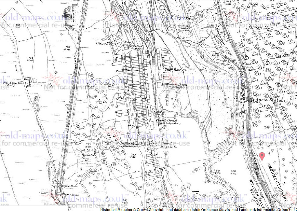
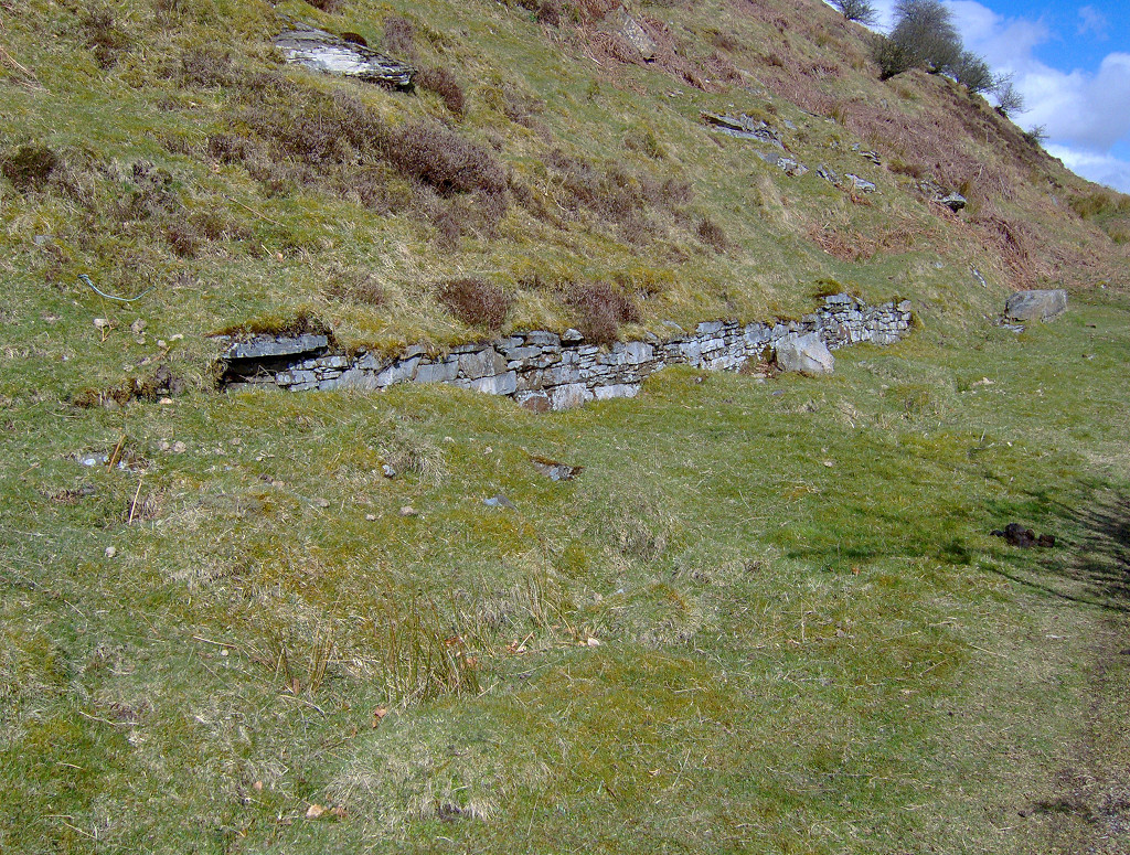
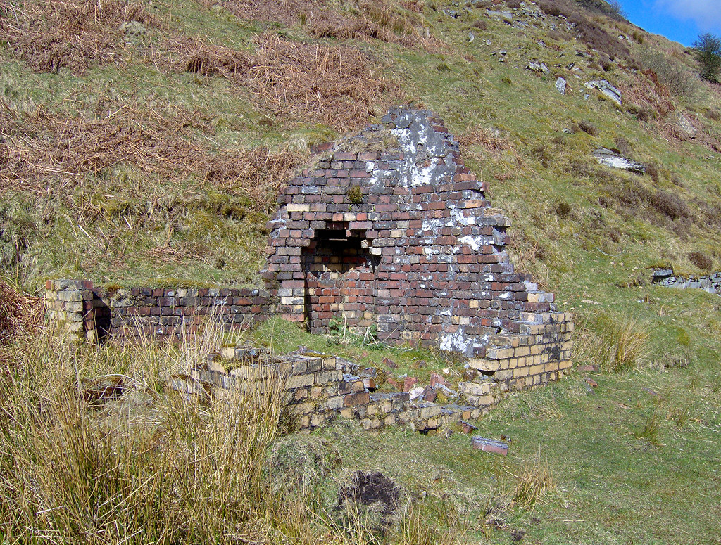
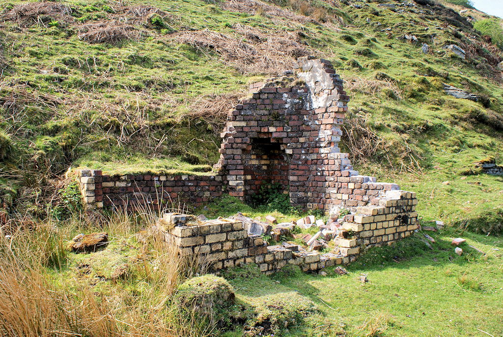
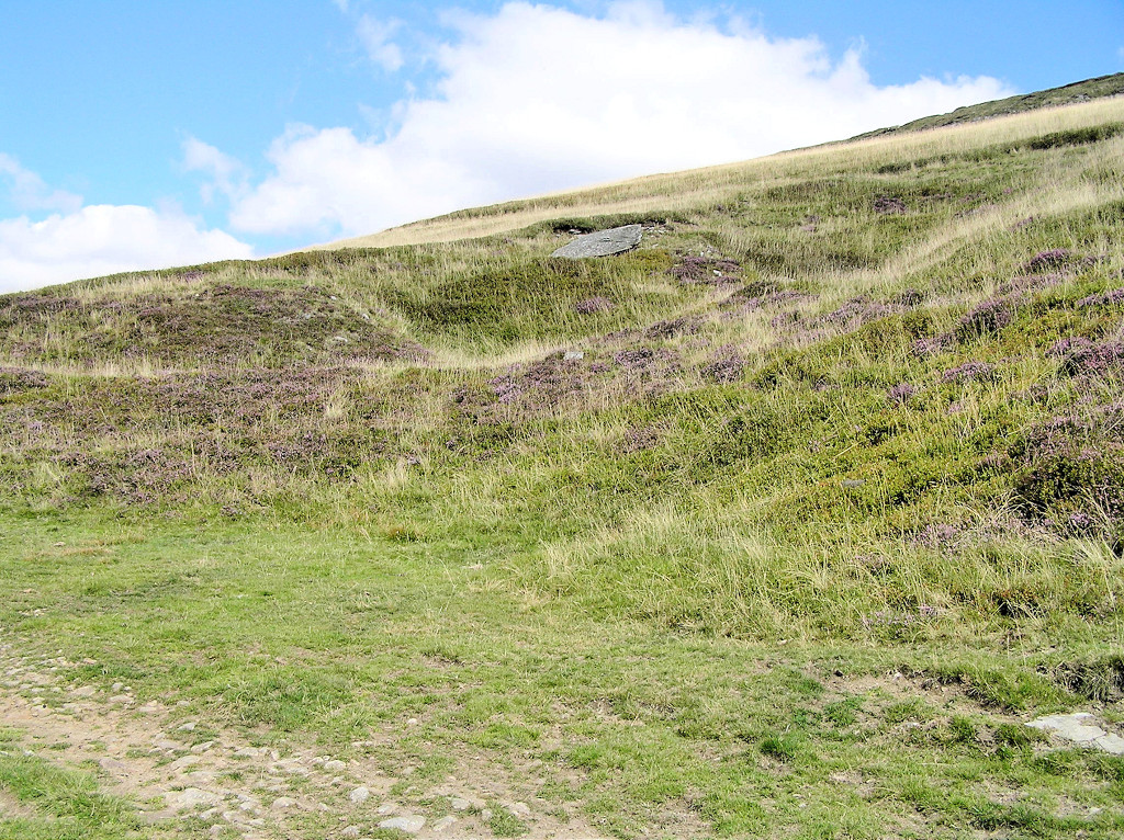
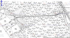
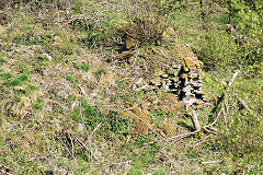
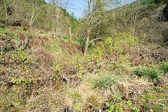
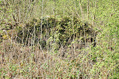
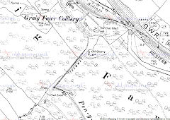
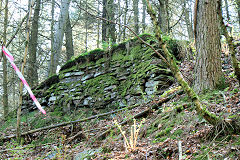
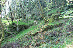
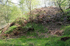
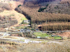
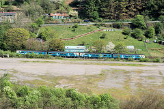
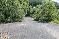
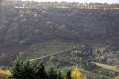
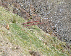
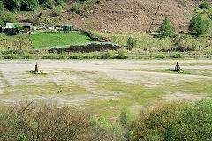
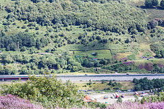
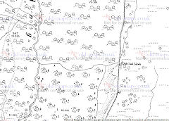
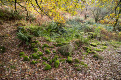
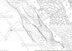
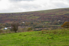
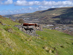
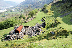
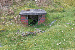
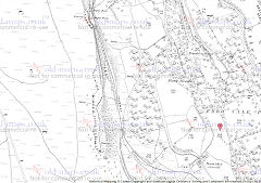
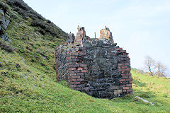
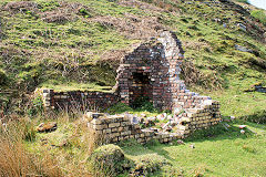
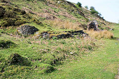
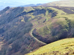
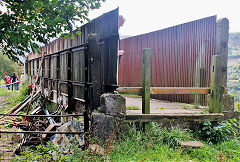
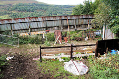
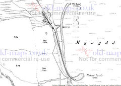
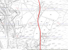
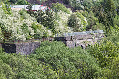
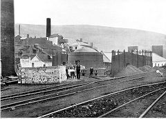
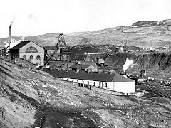
Old Pen-y-fan Colliery - SO 1972 0229
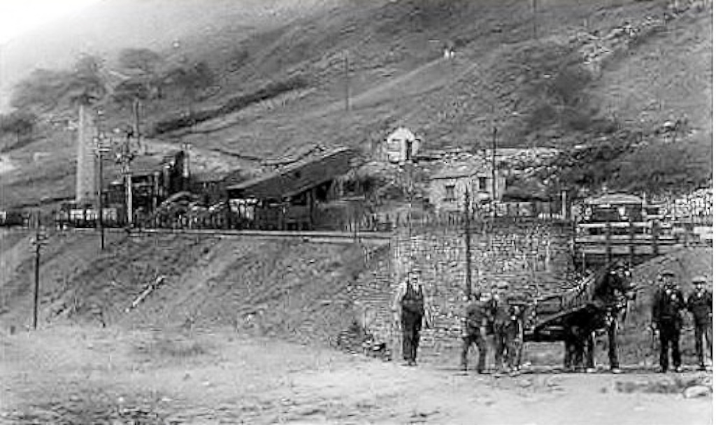
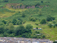
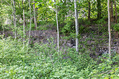
The original Pen-y-fan Colliery was working before 1854, with an incline down to the GWR at SO 2020 0232 but was disused by 1880. The
colliery site has been cleared by 1901 but some other levels, tips and a possible incline can be seen at SO 2005 0195.
Old Penyfan Colliery, 1880
|
Old Penyfan Colliery site
|
Old Penyfan Colliery site
|

Old Penyfan Colliery screens
|
Old Penyfan Colliery screens
|
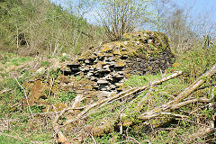
Old Penyfan Colliery screens
|
Old Penyfan Colliery screens
|
Old Penyfan Colliery screens
|
Old Penyfan Colliery screens
|
Old Penyfan Colliery screens
|

Old Penyfan Colliery screens
|
Old Penyfan Colliery screens
|
Old Penyfan Colliery screens
|
|
|
|
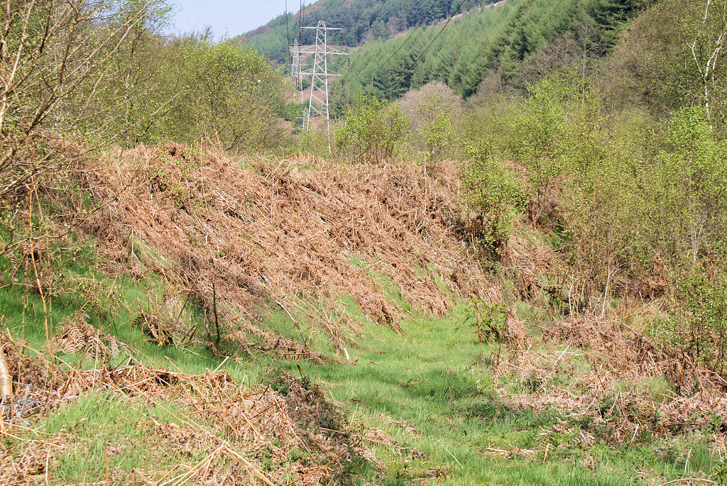
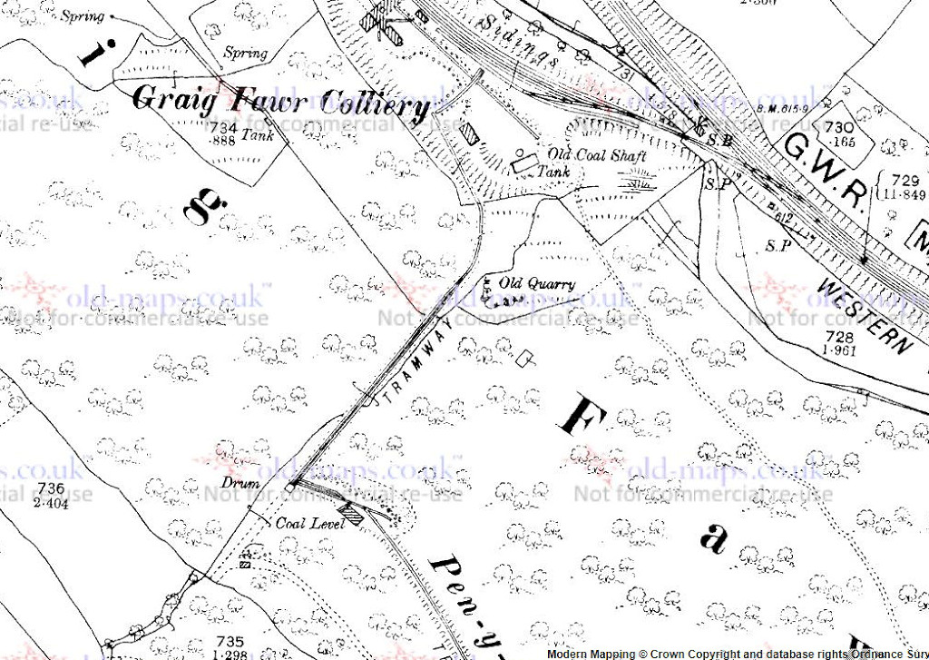
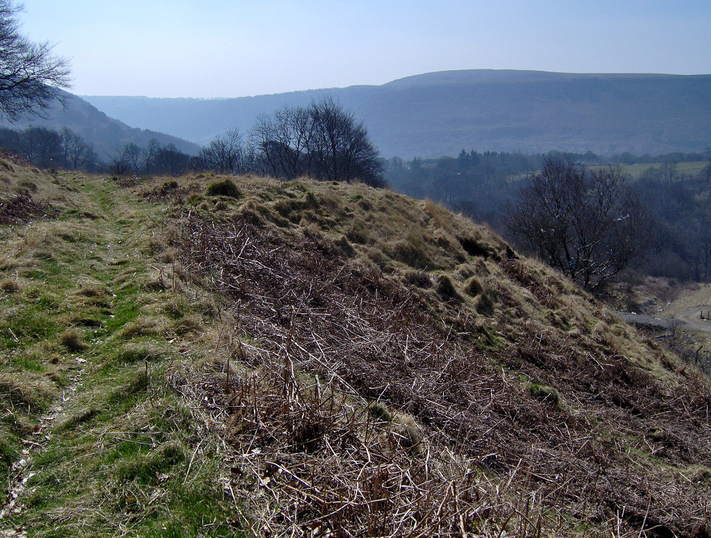
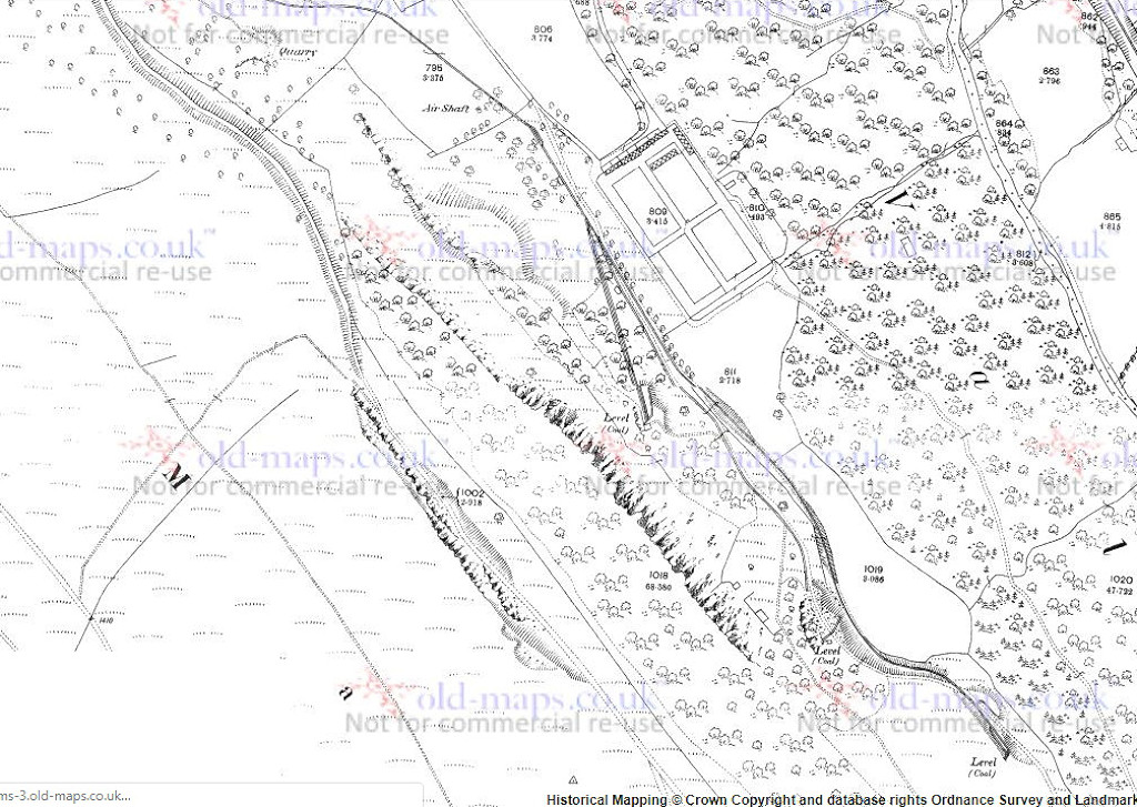
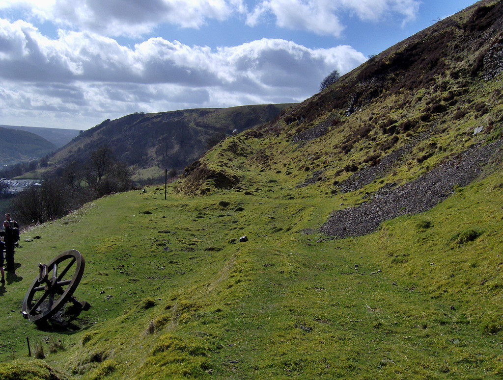
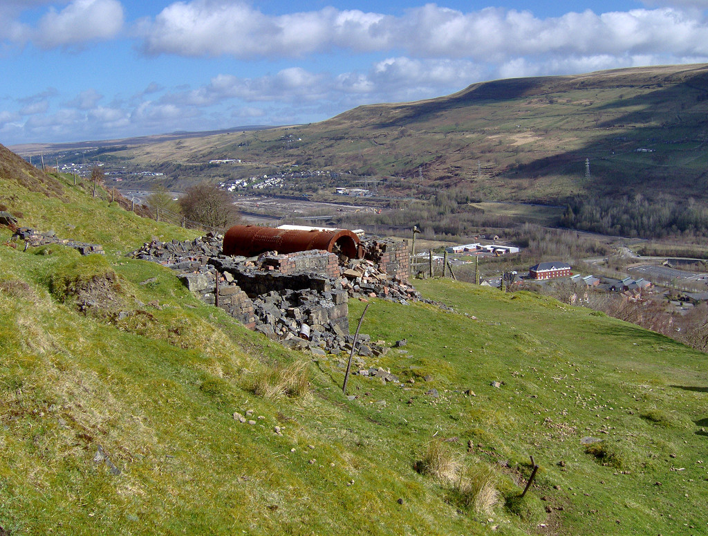
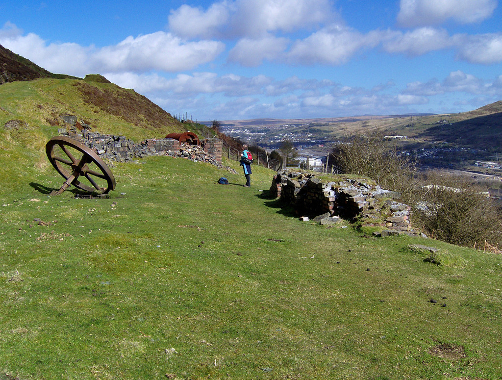
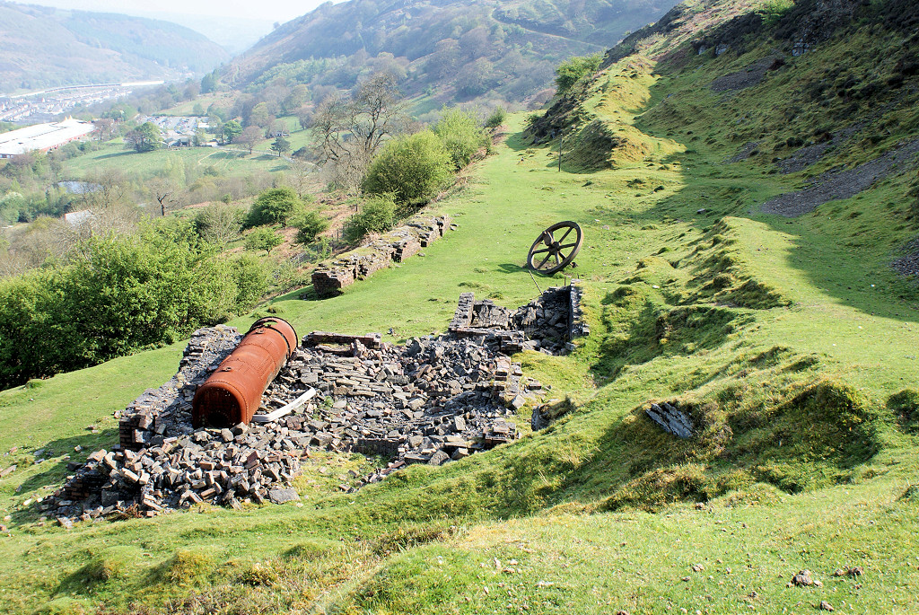
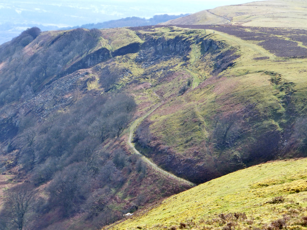
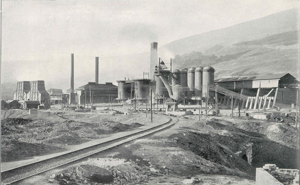
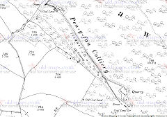
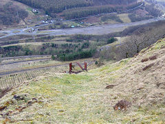
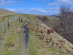
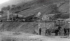
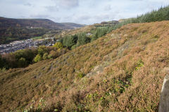
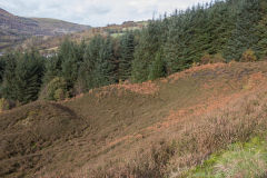
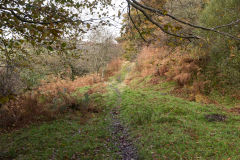
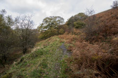
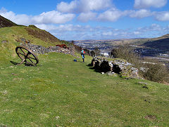
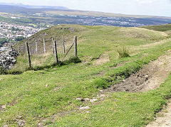
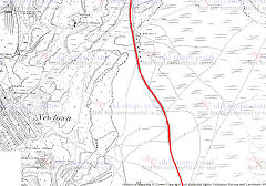
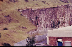
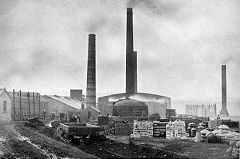
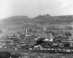
New Pen-y-fan Colliery - SO 1902 0306
The second Pen-y-fan Colliery had been established c1889 by Christopher Pond, with tramways and an incline down to Graig Fawr Colliery. There was a second level at SO 1919 0279 working from 1923 to 1925 when the colliery closed.
Graig Fawr Colliery was at SO 1915 0329 at the foot of the Pen-y-fan incline. It had opened before 1880 when it was shown as an 'old shaft'. It re-opened in 1887, was disused by 1922 and closed in 1928 and the site has been cleared.
New Penyfan Colliery, 1901
|
New Penyfan Colliery, 1901
|
|
|
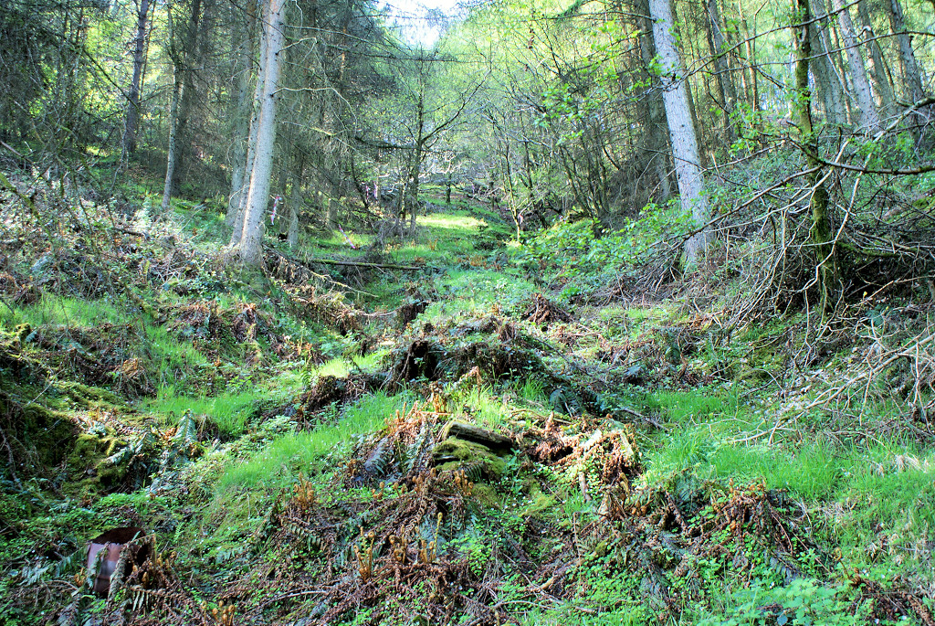
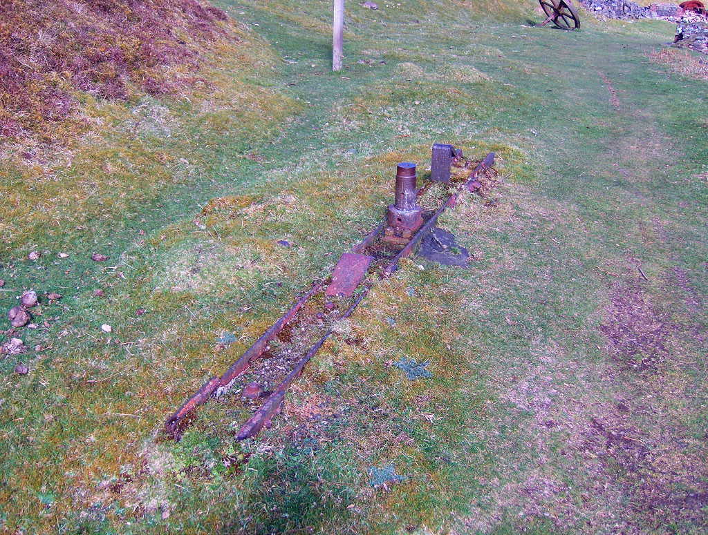
New Penyfan Colliery incline
|
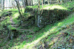
New Penyfan Colliery incline
|
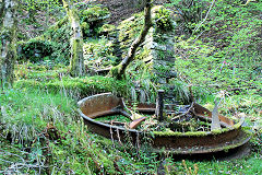
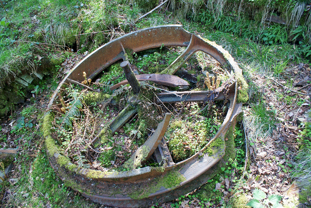
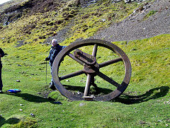
Incline brakewheel
|
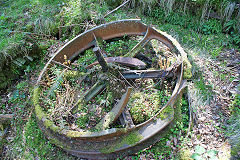
Incline brakewheel
|
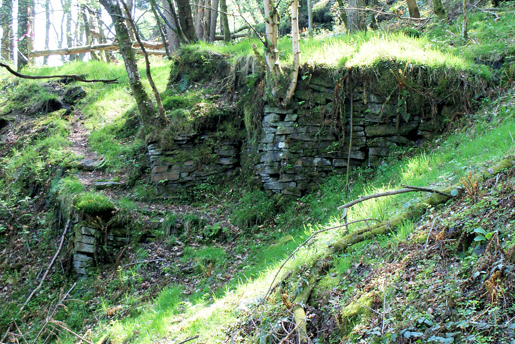
Incline brakehouse
|
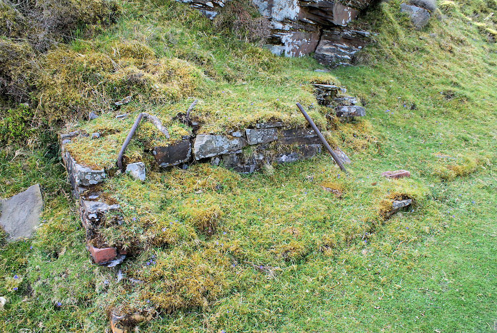
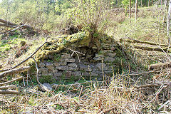
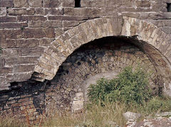
New Penyfan Colliery stonework
|
New Penyfan Colliery stonework
|
New Penyfan Colliery stonework
|

New Penyfan Colliery level
|

New Penyfan Colliery incline
|
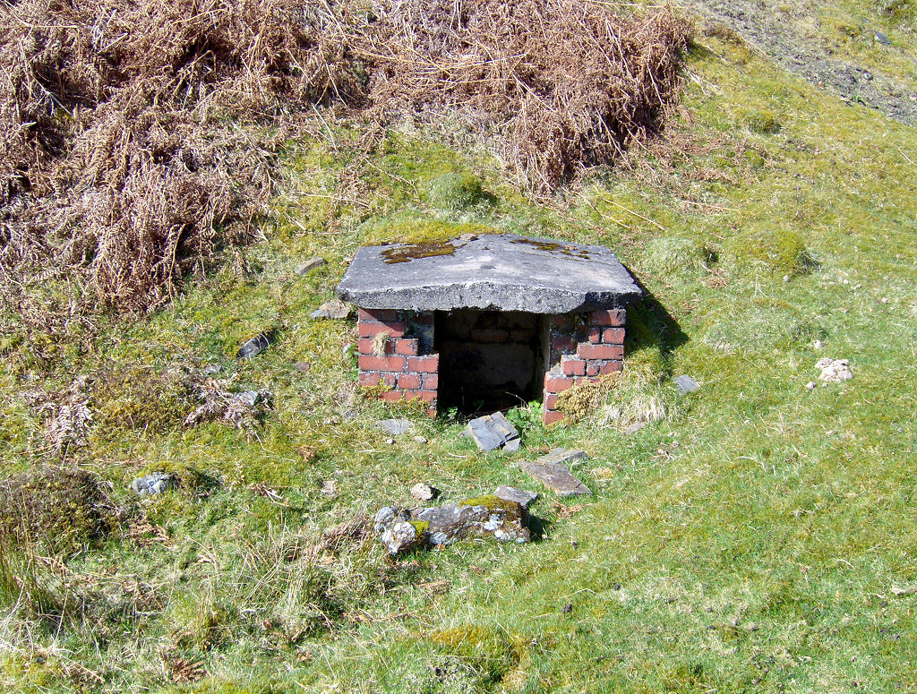
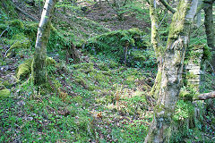
Older top level
|
Older top level
|
Older top level
|
Penyfan Upper Colliery
|
Tips at foot of incline
|
|
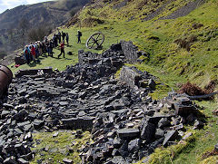
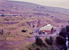
Pen-y-fan Ganol Colliery - SO 1924 0168
Pen-y-fan Ganol Colliery worked between 1937 and 1941 and again beween 1956 and 1960.
Penyfan Ganol Colliery, 1962
|
|
|
|
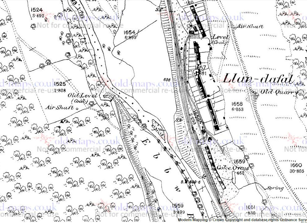
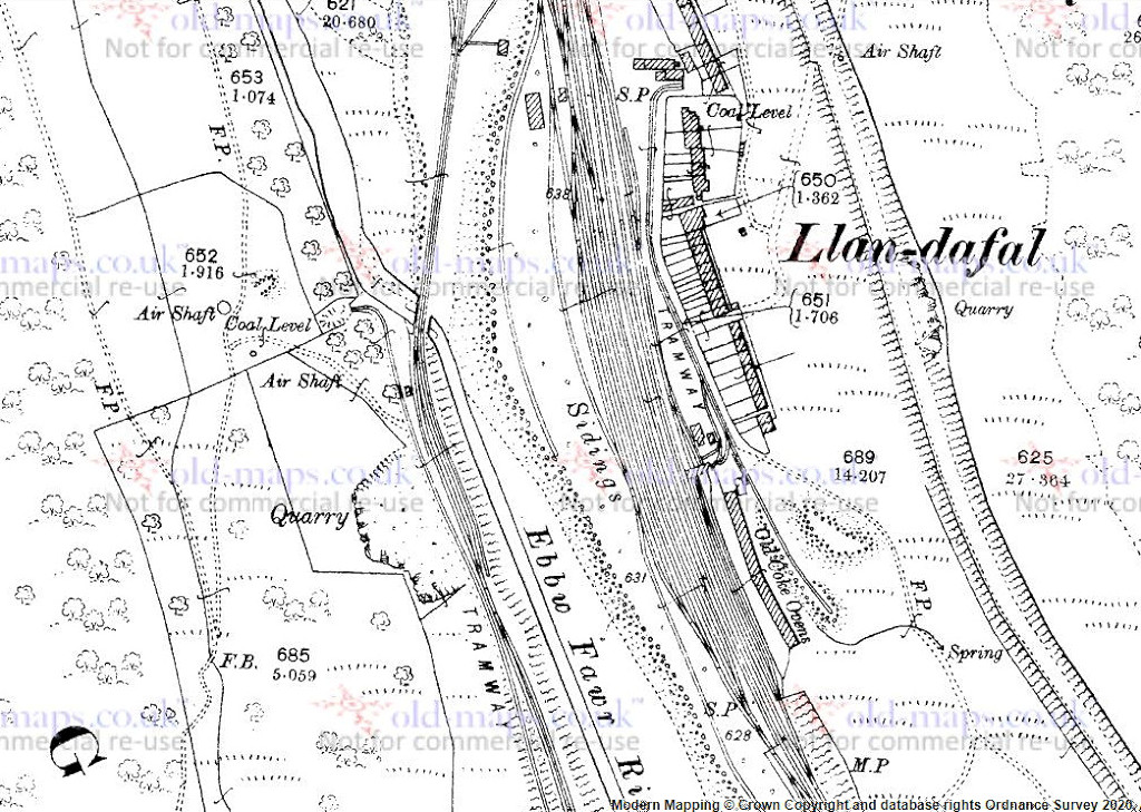
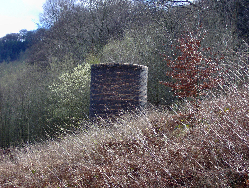
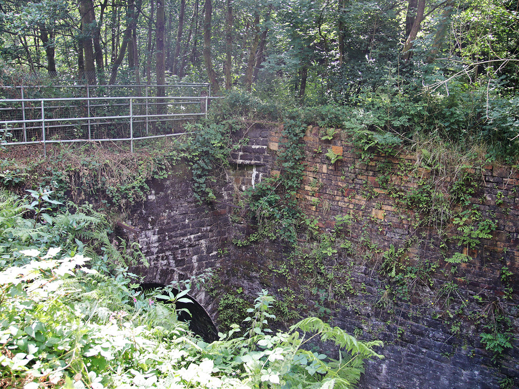
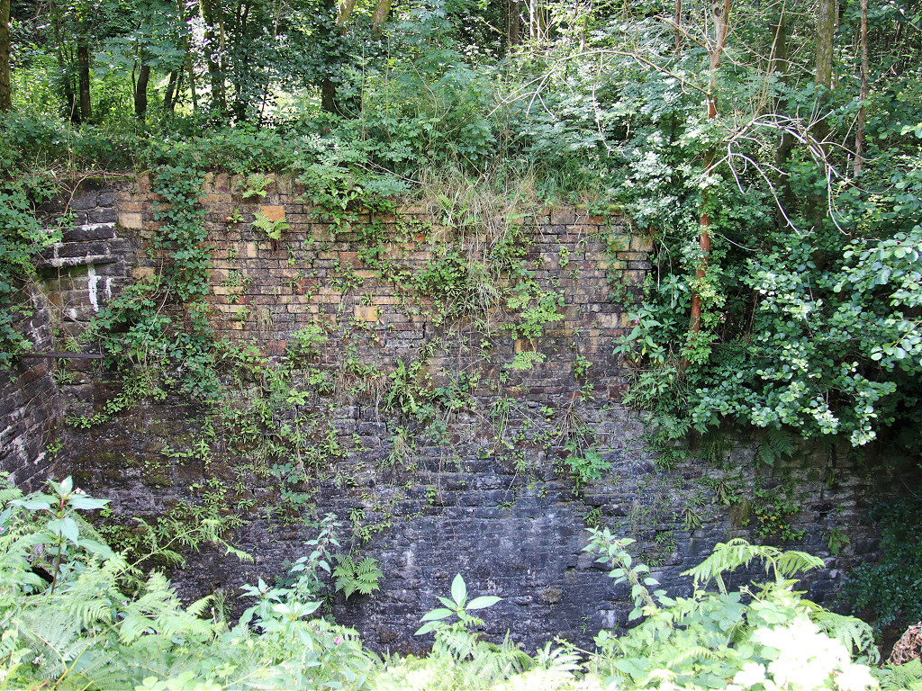
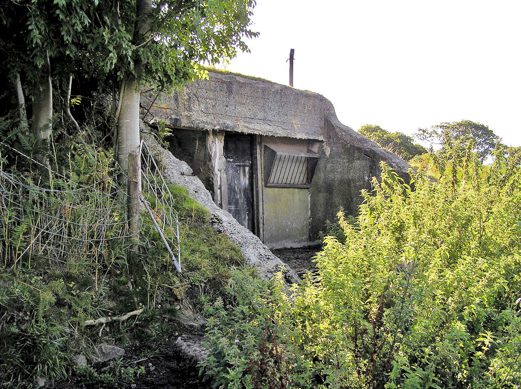
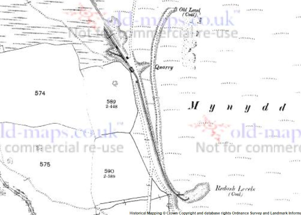
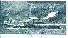
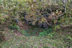
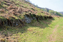
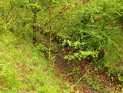
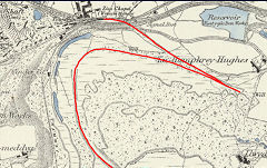
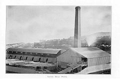
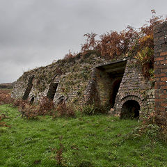
Graig Fawr Red Ash Colliery - SO 1885 0376
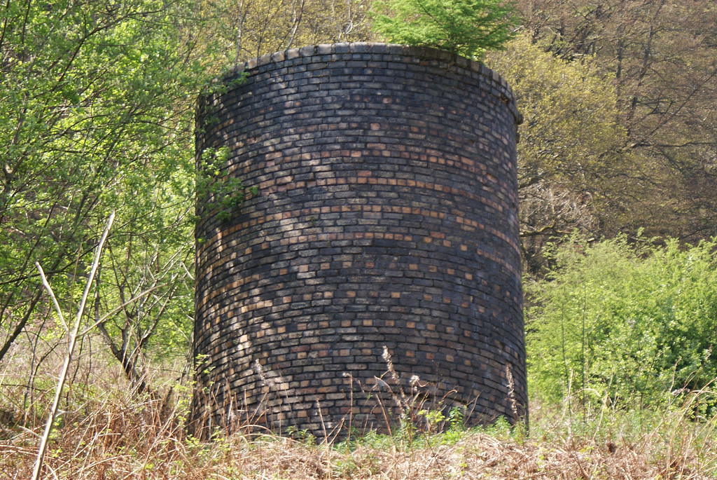
Graig Fawr Red Ash Colliery worked from c1888 to the 1920s, owned by the Ebbw Vale Co. The brick-built furnace chimney shaft stands directly above the level and there are the foundations of an engine house and another building marked on the 1922 map. There was another Graig Fawr level in 1922 at SO 1850 0455 near Maes Mawr Quarry.
Graig Fawr Level, 1880
|
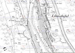
Graig Fawr Level, 1901
|
Graig Fawr Level, 1921
|
|
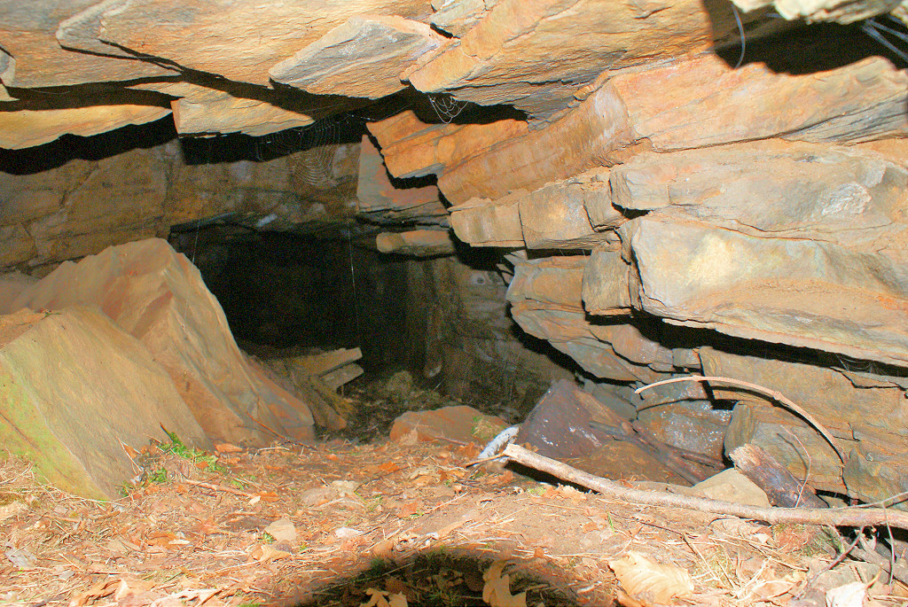
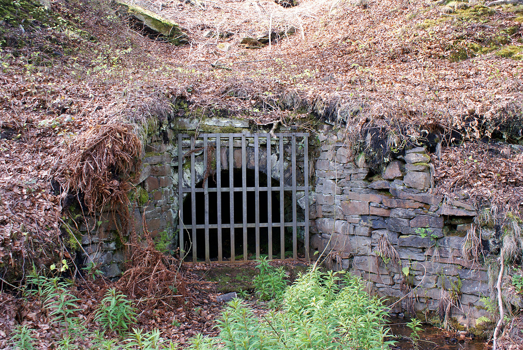
Graig Fawr level exterior
|
Graig Fawr level exterior
|

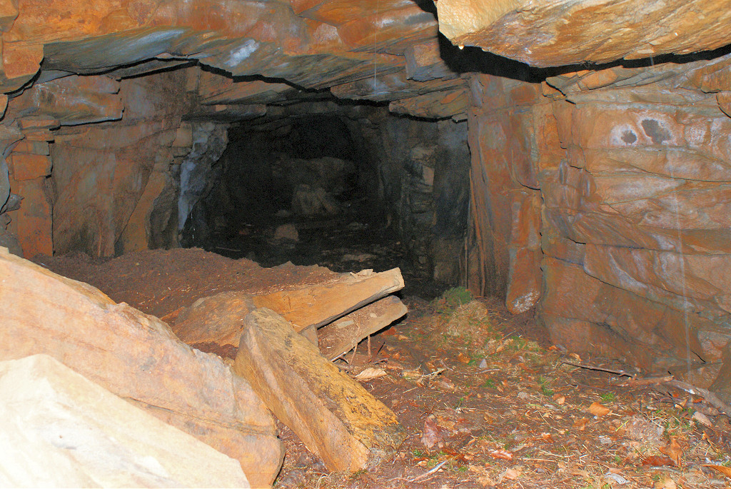
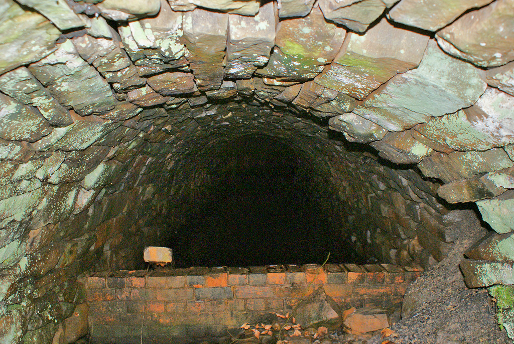
Graig Fawr level interior
|
Graig Fawr level interior
|
Graig Fawr level interior
|
Graig Fawr level interior
|
Graig Fawr airshaft
|
Graig Fawr airshaft
|
Graig Fawr airshaft
|
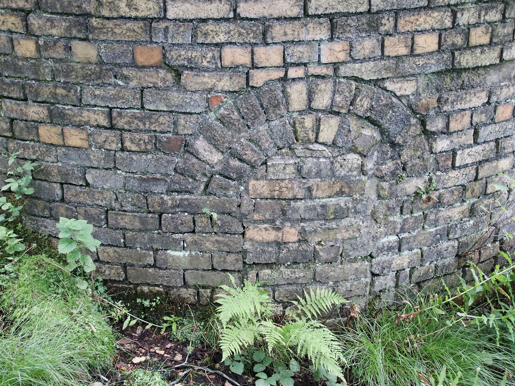
Graig Fawr foundations
|
Graig Fawr foundations
|
Graig Fawr concrete foundations
|
Graig Fawr concrete foundations
|
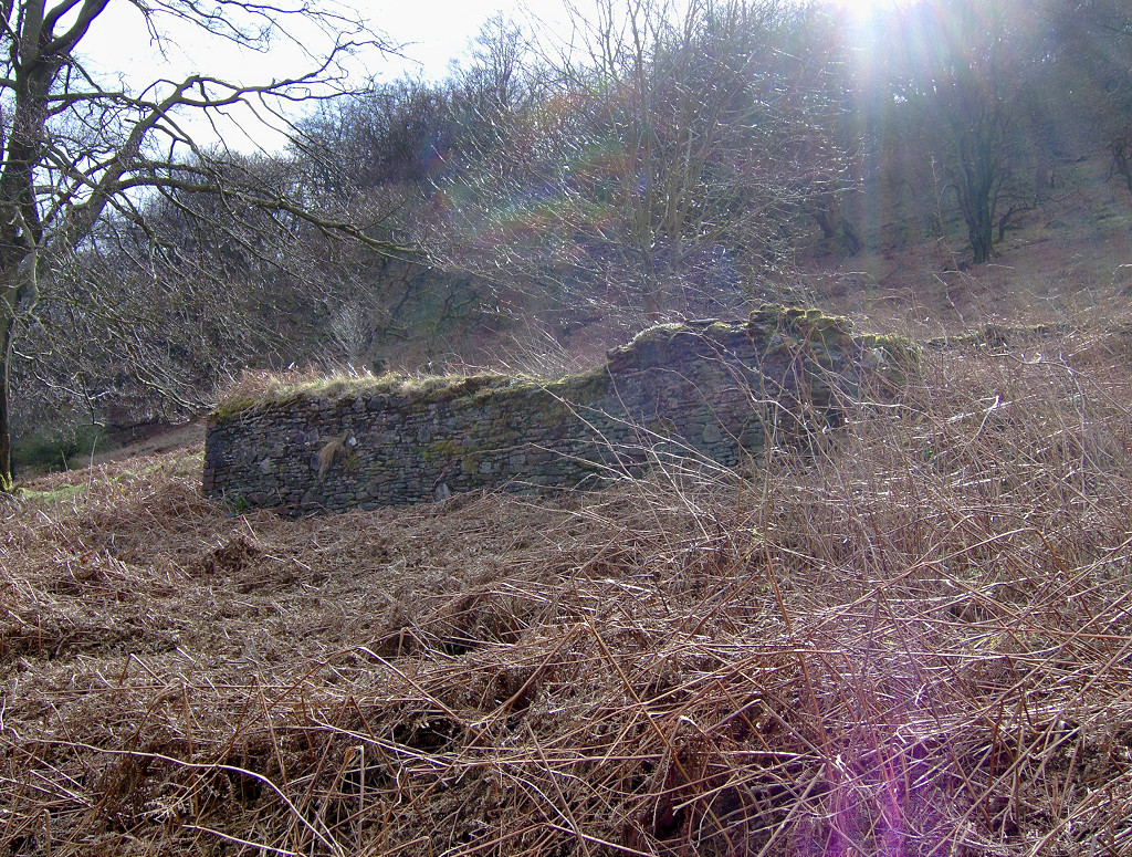
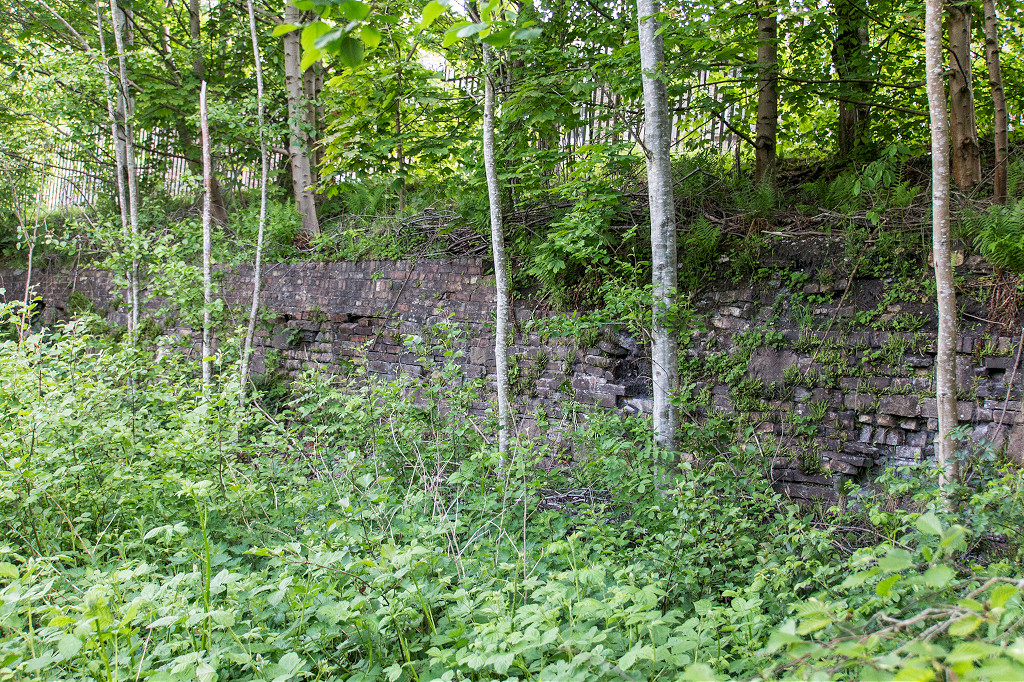
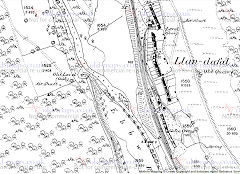
Site of coke ovens, Llandafal
|
Site of coke ovens, Llandafal
|

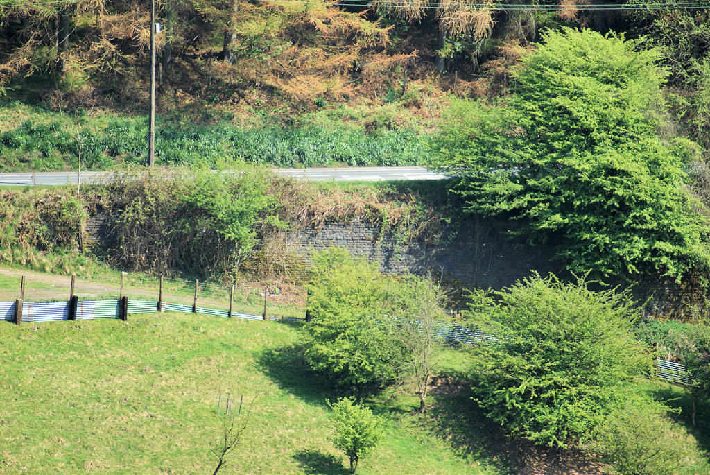
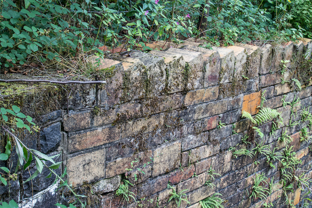
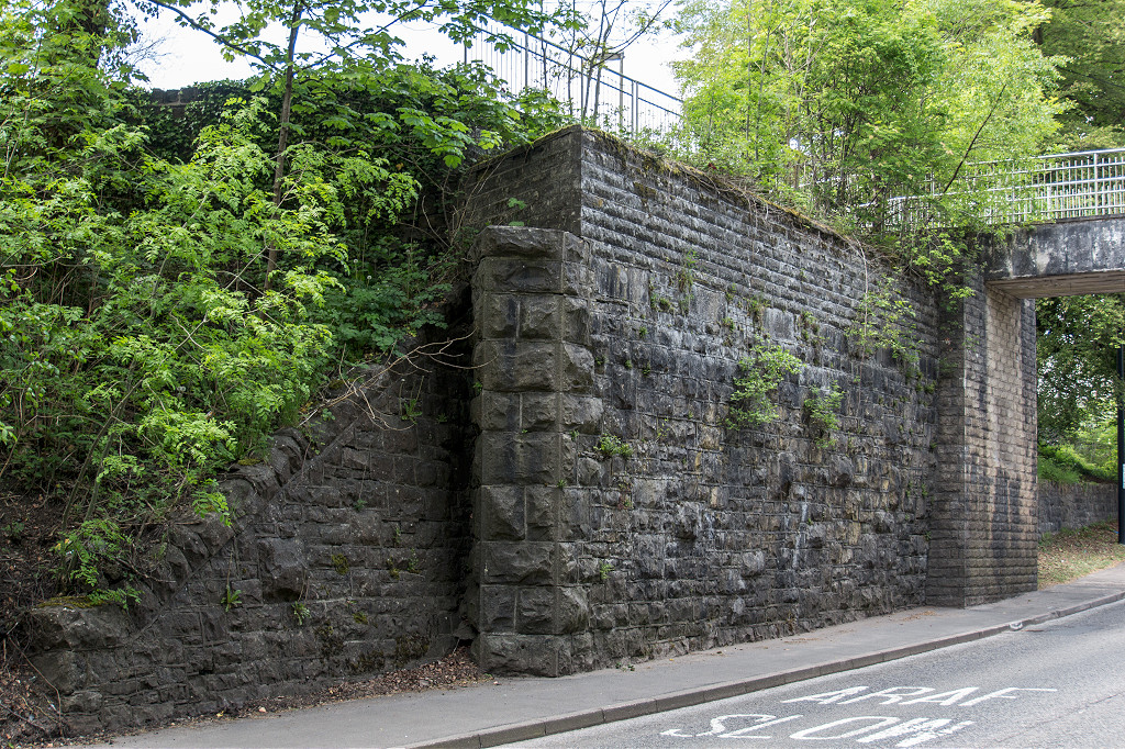
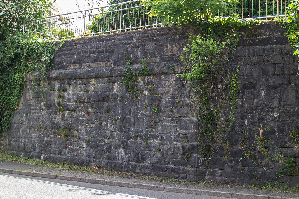
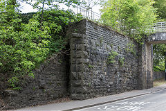
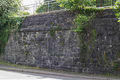
Llandafal retaining wall
|
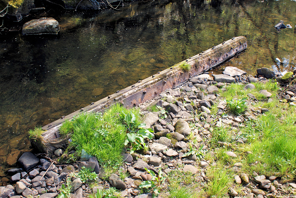
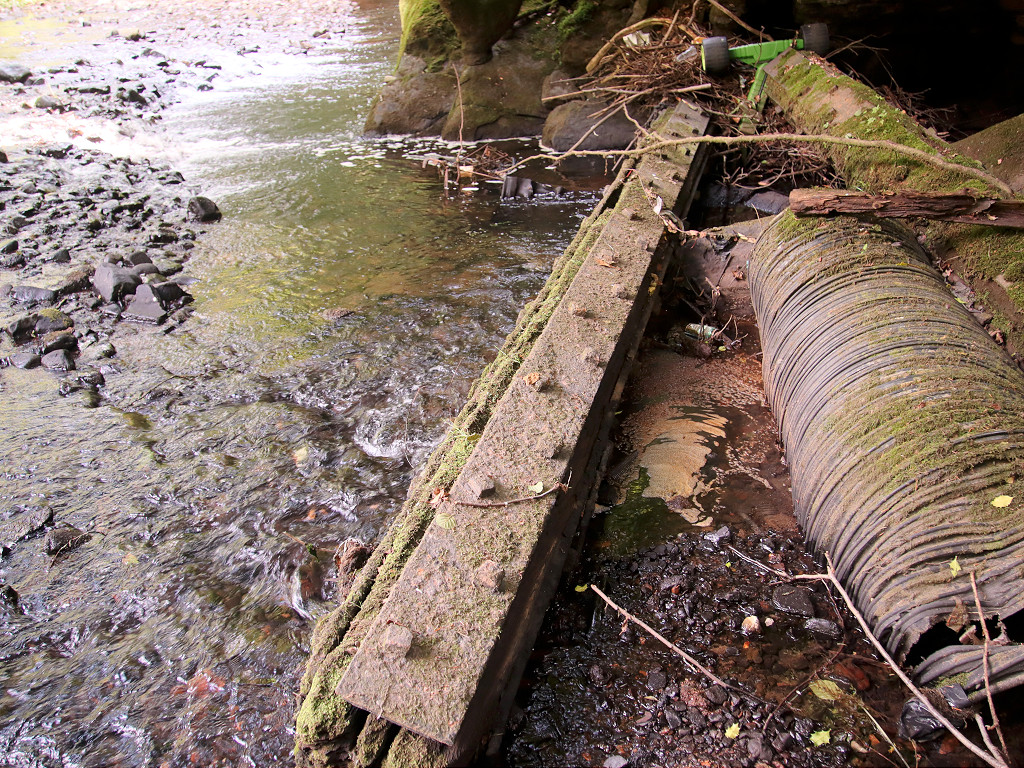
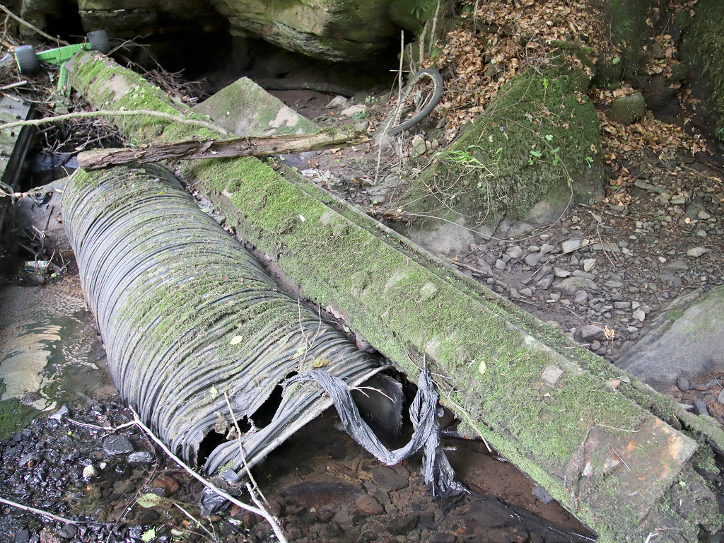
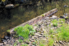
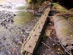
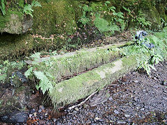
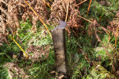
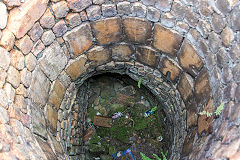
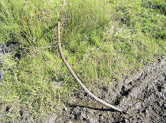
These stout wooden beams with metal reinforcement are in the river close to the Graig Fawr Colliery pumping shaft.
They may well be the old pumping rods, dumped when the colliery closed.
|
Graig Fawr pumping rods
|

Graig Fawr pumping rods
|
Graig Fawr pumping rods
|
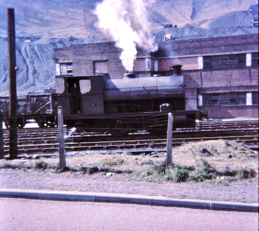
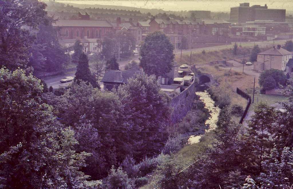
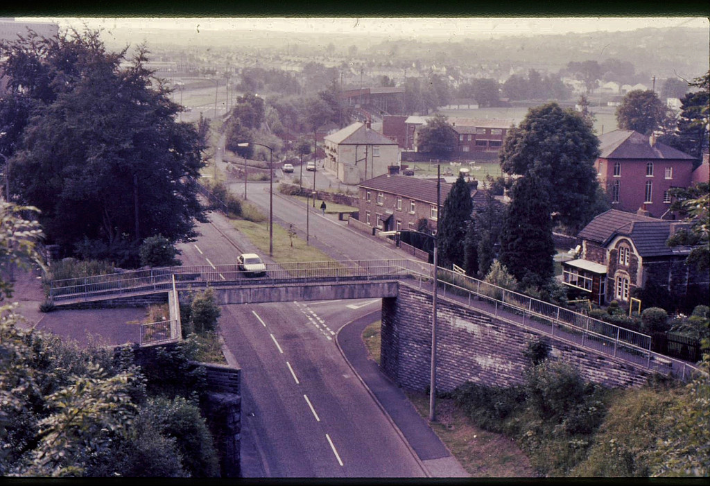
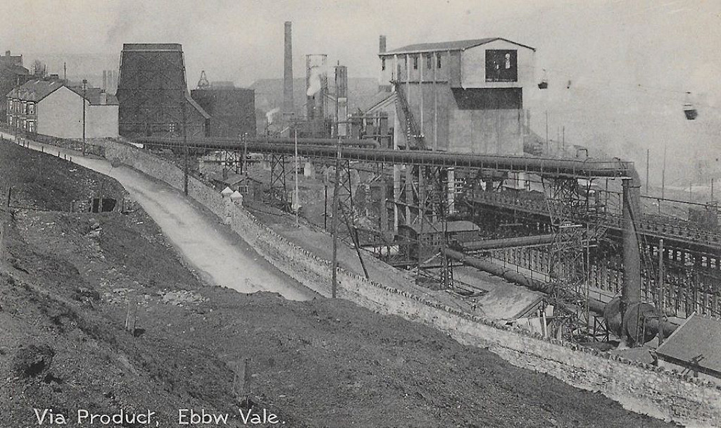
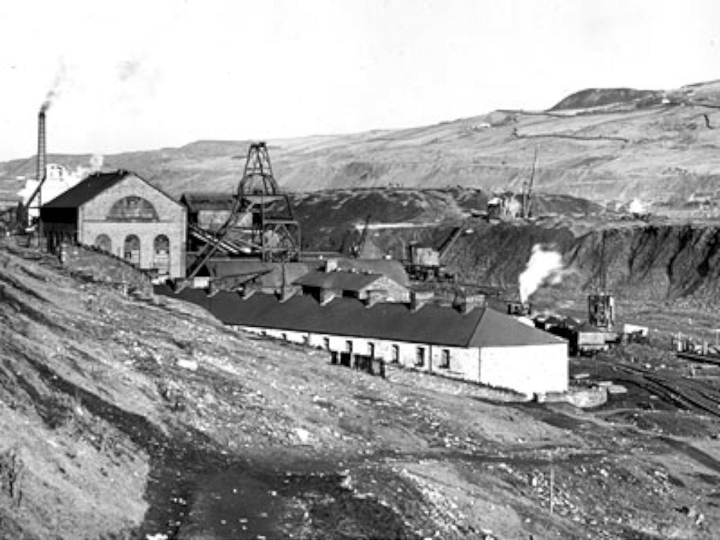
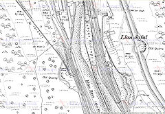
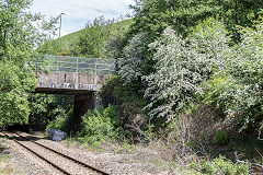
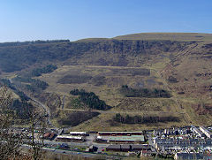
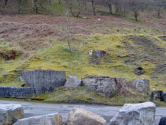
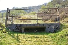
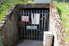
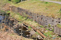
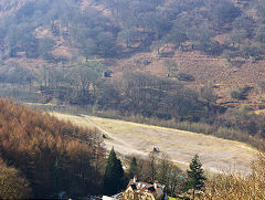
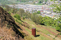
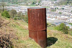
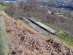
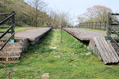
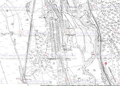
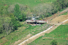
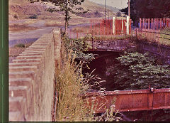
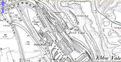
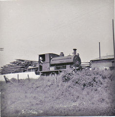
Marine Colliery - SO 188040
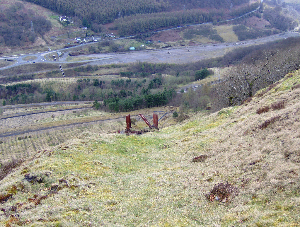
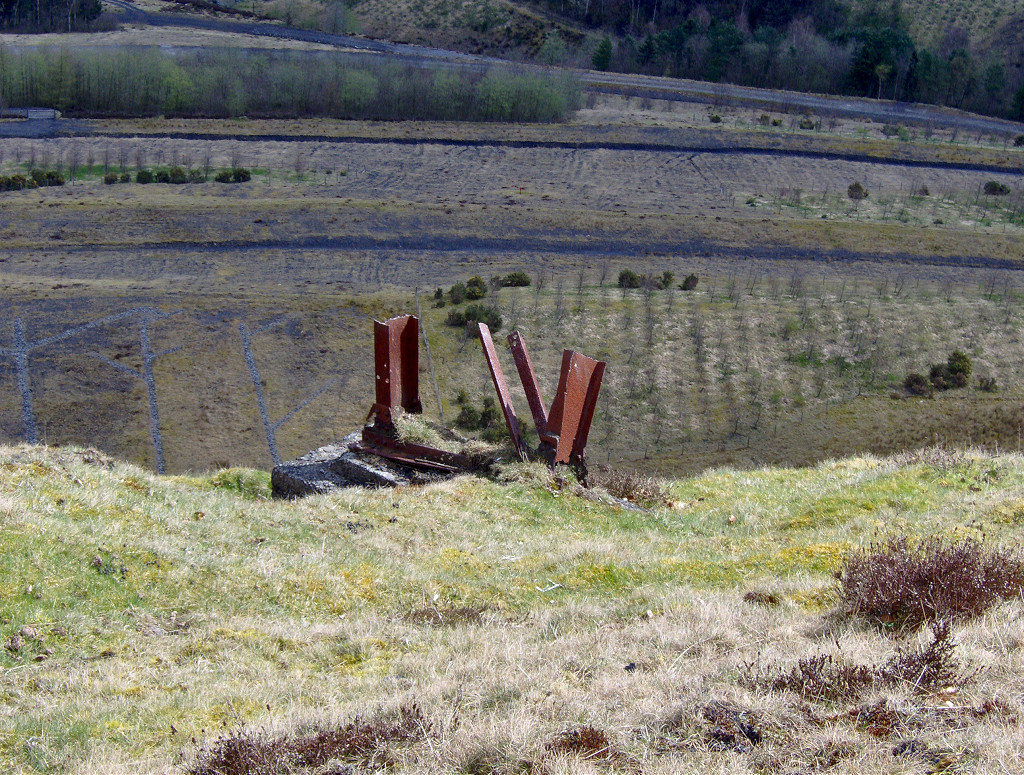
Marine Colliery was commenced in 1889 and drew its first coal in 1893, becoming one of the largest collieries in the Ebbw Fawr valley. Sadly 52 men were killed in an explosion in 1927. Latterly it was connected to Six Bells and closed in 1989. The site of Marine Colliery has been cleared and the winding wheels retained over the shafts. On top of the ridge, the top of the aerial ropeway from Marine Colliery can be found at SO 1810 0427 consisting of foundations and ironwork, with some concrete bases lower down the hillside at SO 1852 0412.
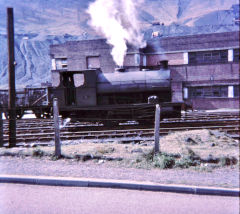
'Nasmyth' at Marine Colliery
|
|
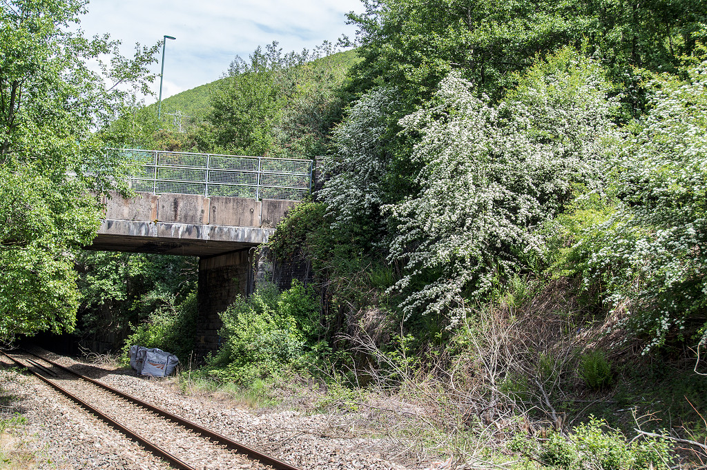
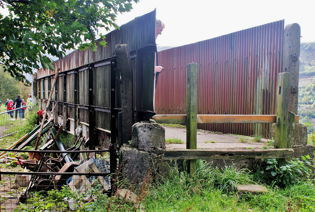
Marine Colliery sidings bridge
|
Marine Colliery sidings bridge
|

Marine Colliery sidings bridge
|
Marine Colliery sidings bridge
|
Marine Colliery sidings bridge
|
|
The old Marine Colliery bridge
|
The old Marine Colliery bridge
|

Colliery tips from the East
|
Colliery tips from the East
|

Colliery tips from the East
|
Colliery tips from the East
|
Colliery tips from the East
|

Colliery tips from the East
|
Top of ropeway to tip
|
Top of ropeway to tip
|
Top of ropeway to tip
|
Top of ropeway to tip
|
Building with TV cable by tips
|
Course of ropeway to tip
|
Bridge on the tip
|
Colliery air or drainage level
|
Colliery bridge foundations
|
Colliery site from East
|
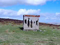
Marine Colliery monument
|
Marine Colliery monument
|
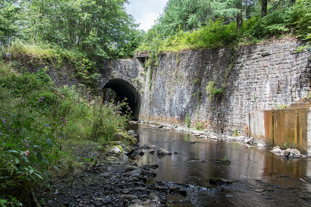
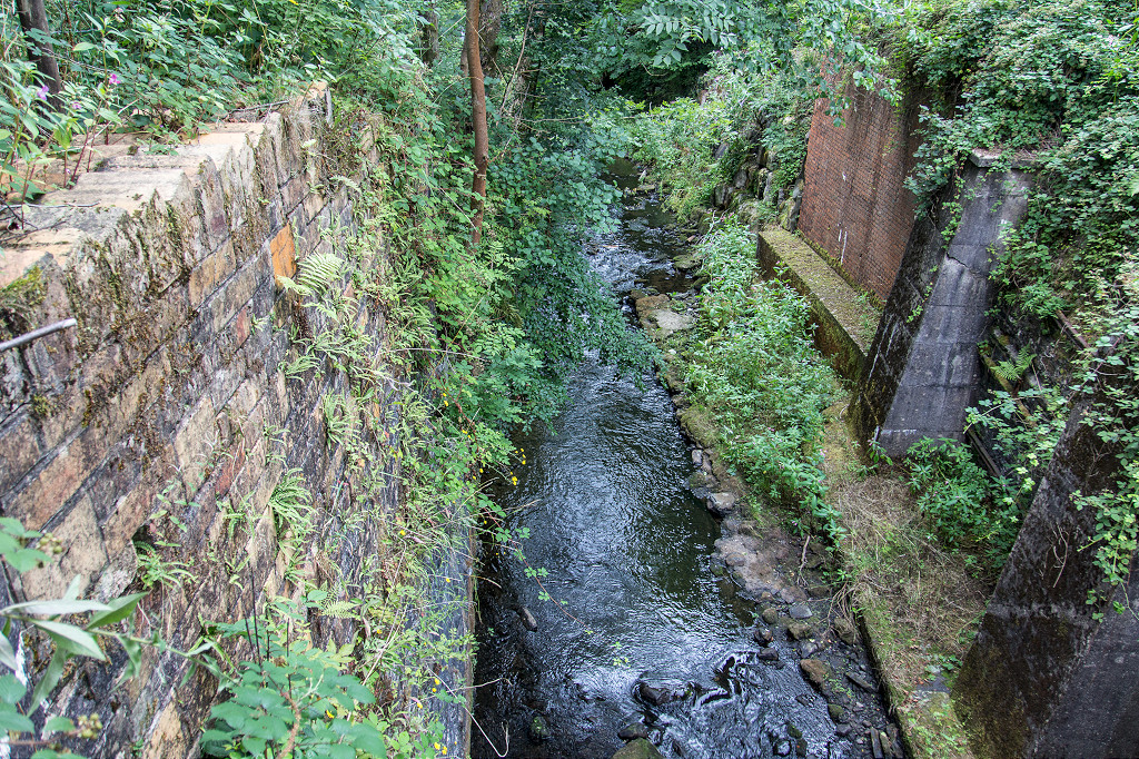
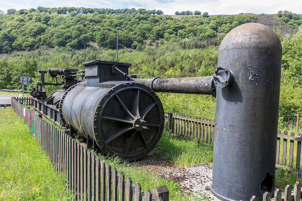
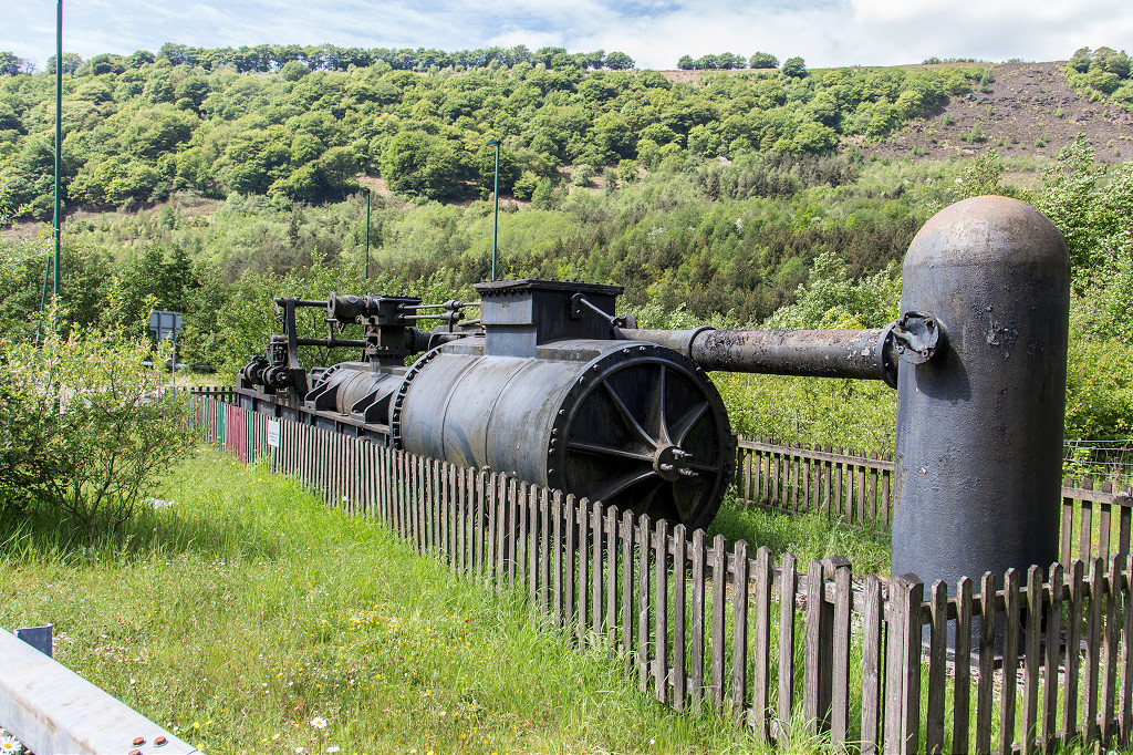
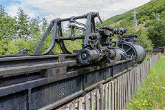
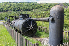
Cwm - SO 1888 0430
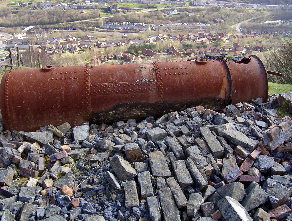
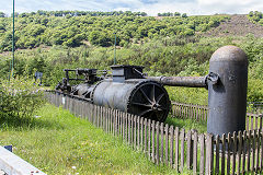
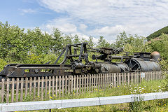
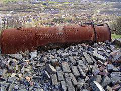
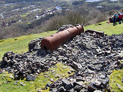
The 1893 Hathorn Davey horizontal tandem-compound pumping engine is outside the entrance to Marine Colliery. It came from a chamber beneath a winding engine house. The engine’s cylinders are 36-inch and 68-inch in diameter and a stroke of 120 inch.
Marine Colliery pumping engine
|
Marine Colliery pumping engine
|
Marine Colliery pumping engine
|
Marine Colliery pumping engine
|
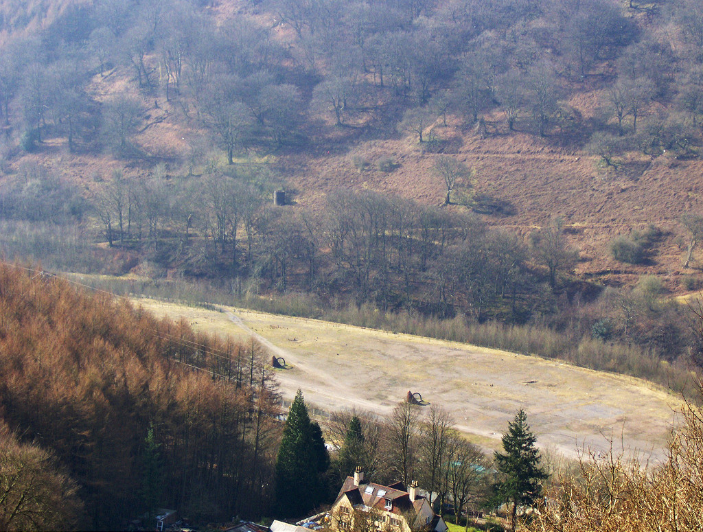
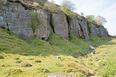
Maes Mawr quarry - SO 1835 0485
Maes Mawr quarry was working from c1901 to c1922 with an incline down to the riverbank at SO 1844 0503 and then a tramway running Southward behind the terraces past Marine Colliery to Graig Fawr Colliery. The quarry and incline are easily traceable today. A Graig Fawr Level above Tallistown at SO 1847 0455 existed by 1915 and had gone by 1938, then became buried under Marine Colliery's tips and reclamation.

Maes Mawr Quarry from the East
|
Maes Mawr Quarry from the East
|
Quarry tramway and incline
|
Quarry tramway and incline
|
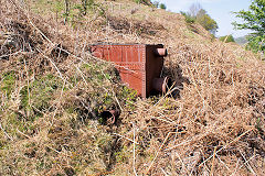
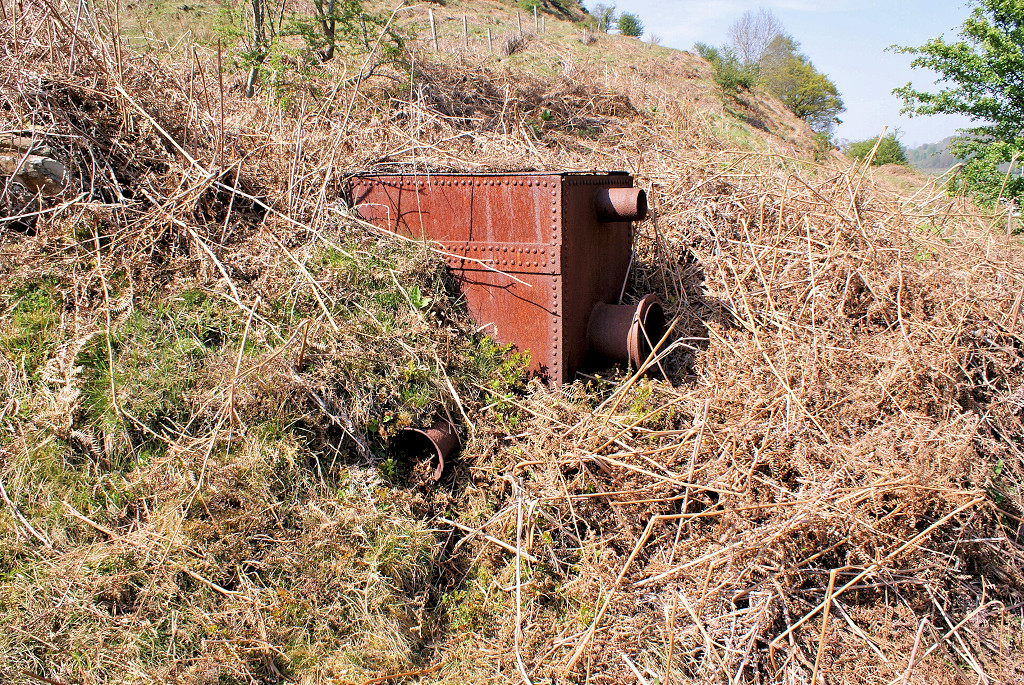
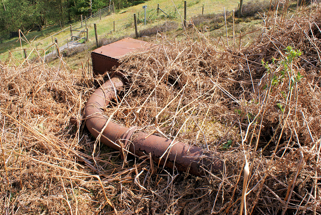
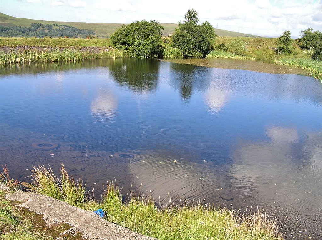
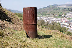
Maes Mawr Quarry water tank
|
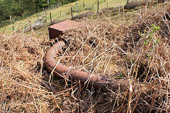
Water tank and pipework
|
|
|
Air vent for Graig Fawr N level
|
Air vent for Graig Fawr N level
|
Air vent for Graig Fawr N level
|
|
Maes Mawr Quarry
|
Top of quarry incline
|
Maes Mawr Quarry incline
|
Quarry tramway and incline
|
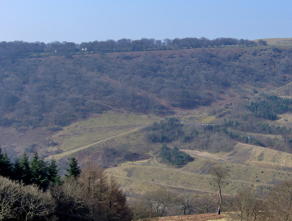
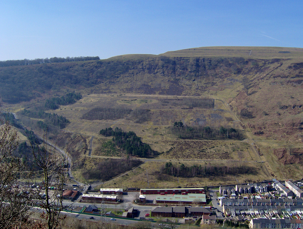
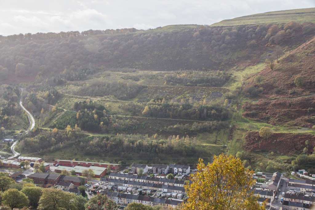
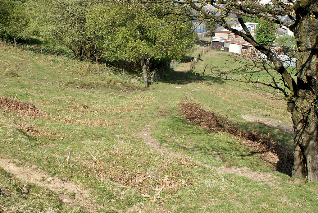
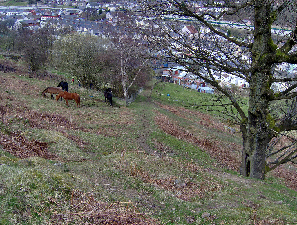
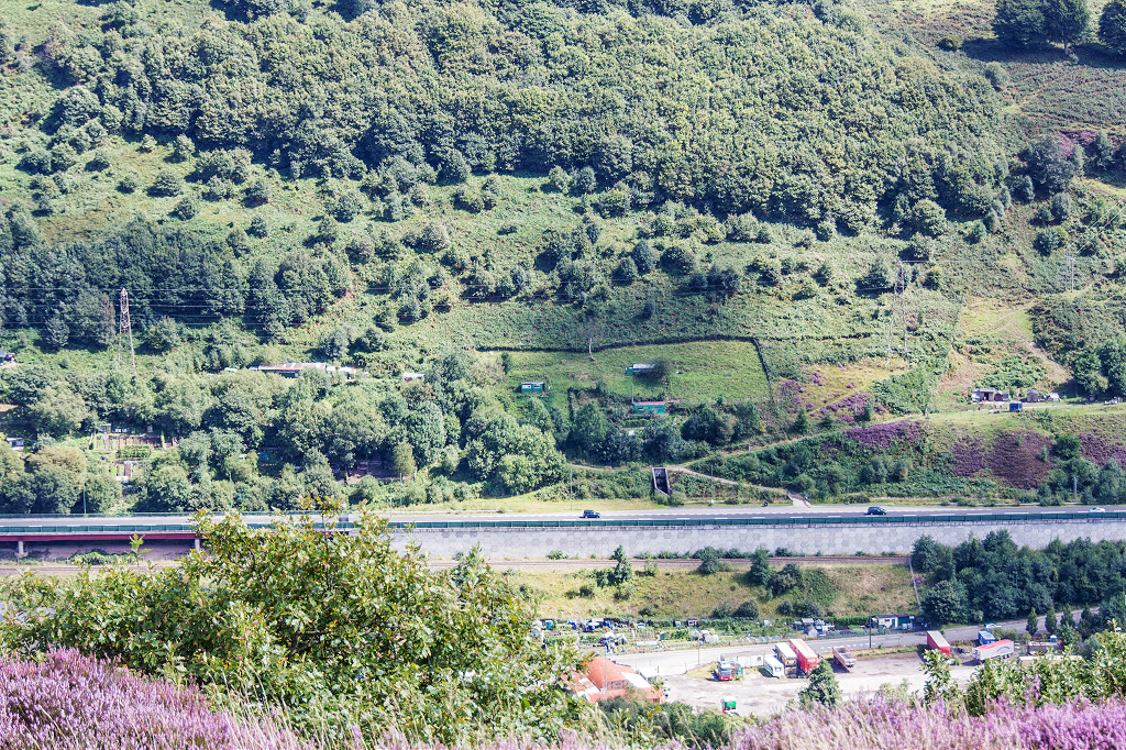
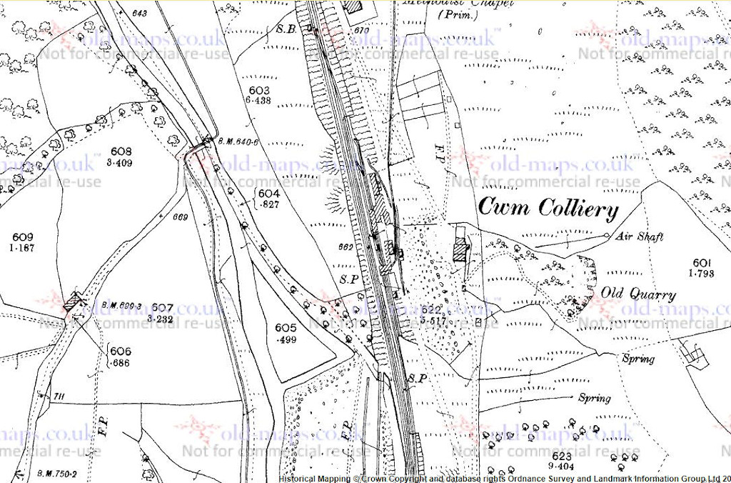
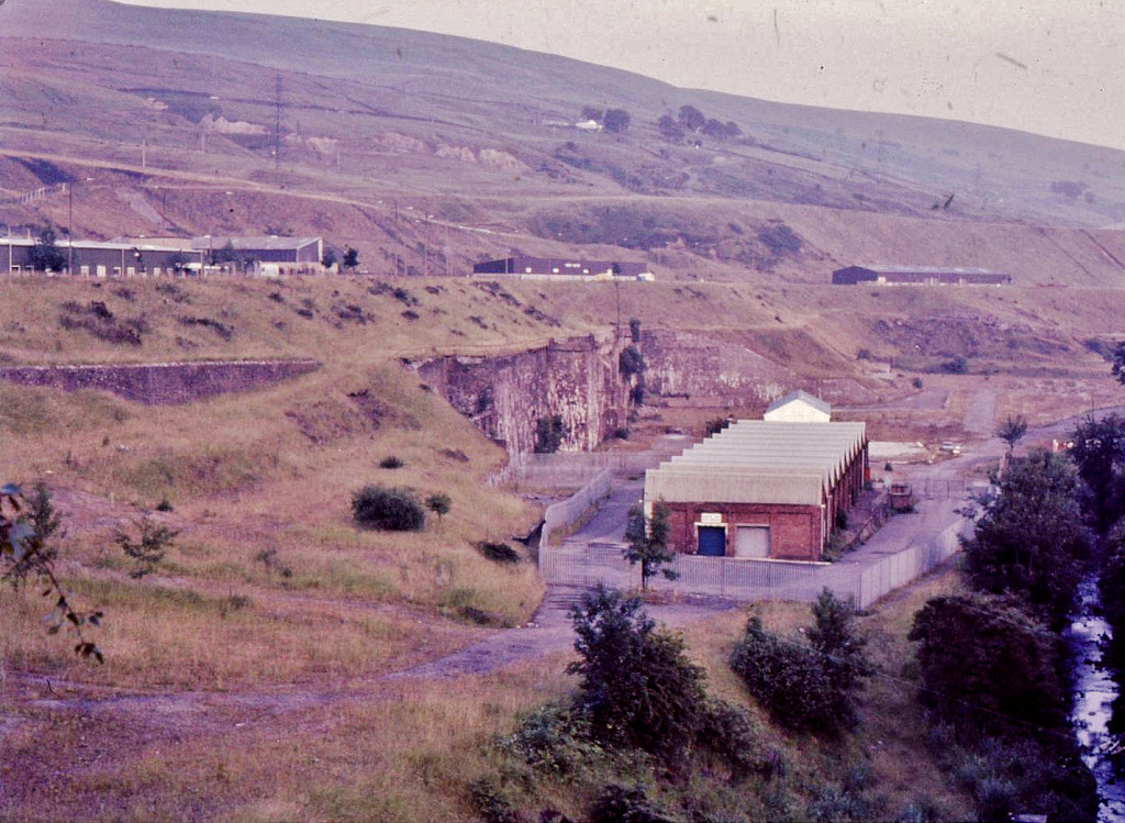
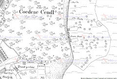
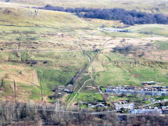
Cwm and Mon Colliery
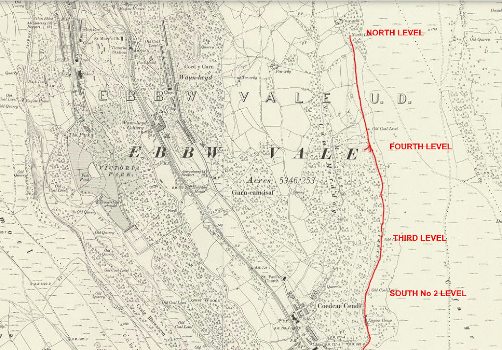
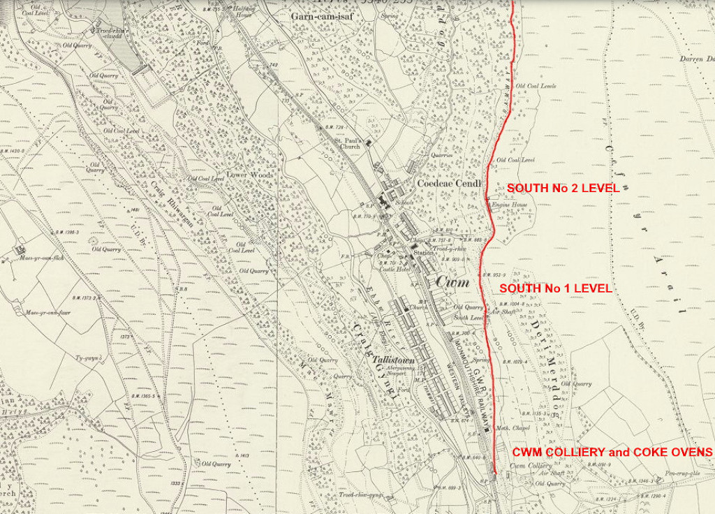
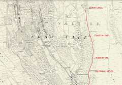
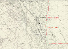
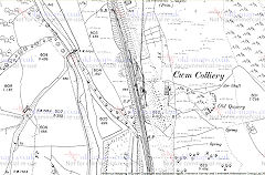
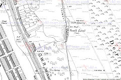
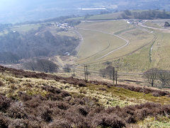
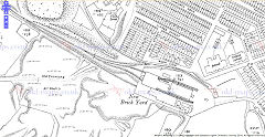
Cwm Colliery - SO 1888 0451
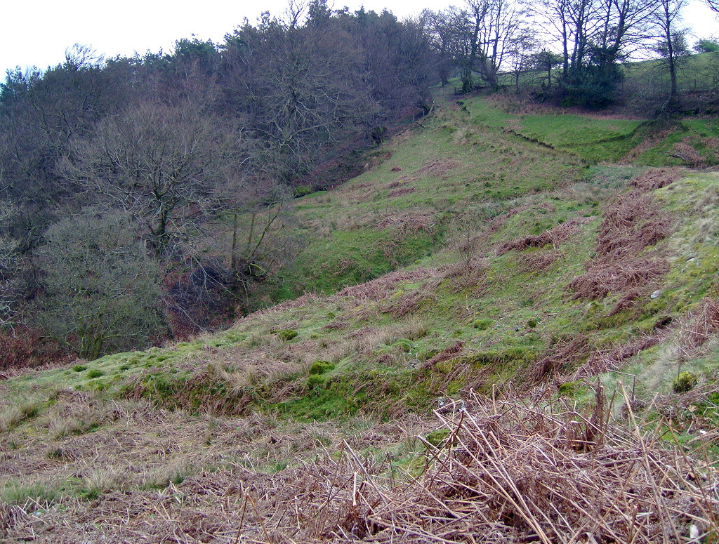
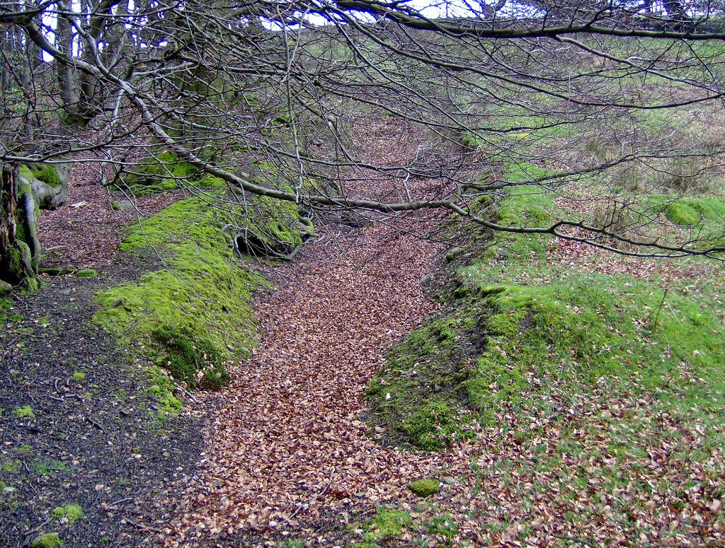
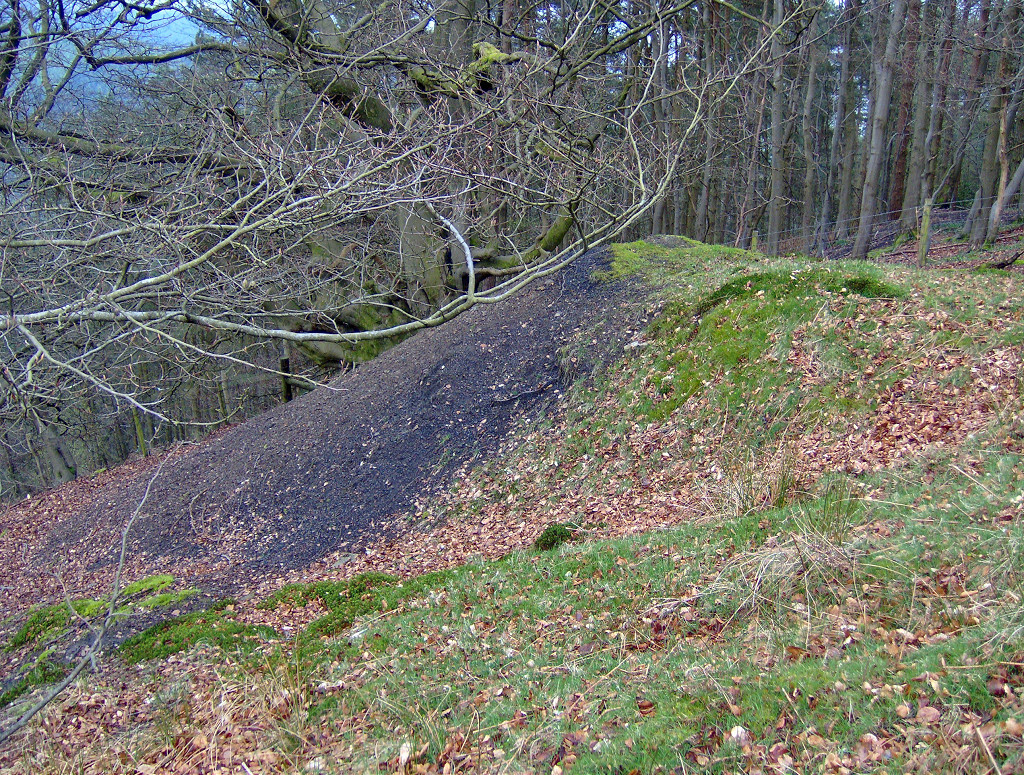
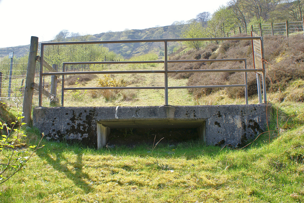
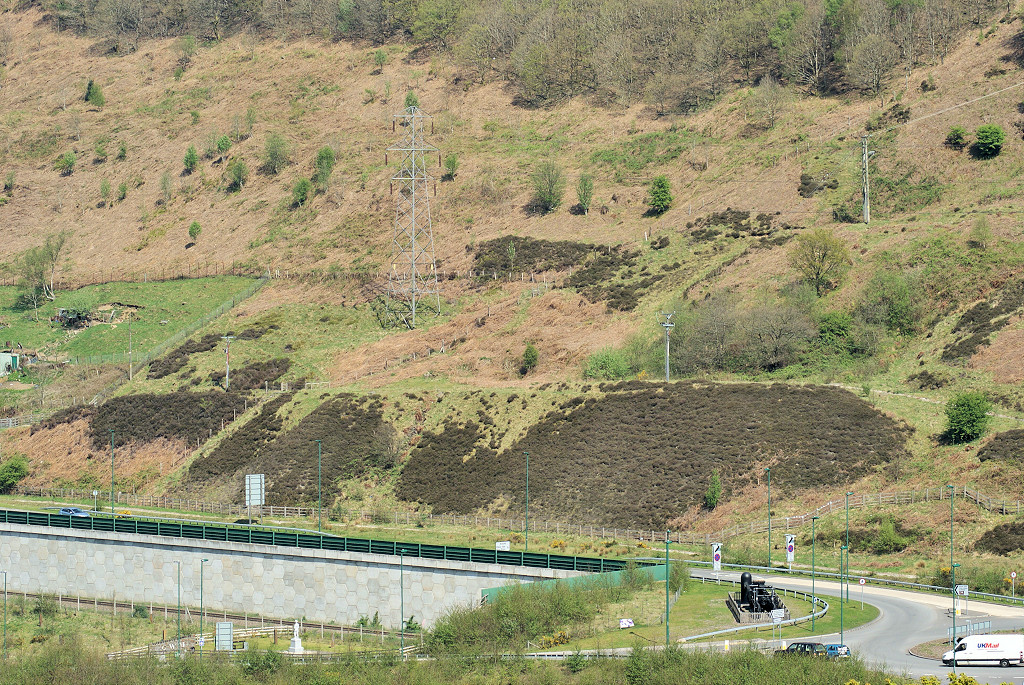
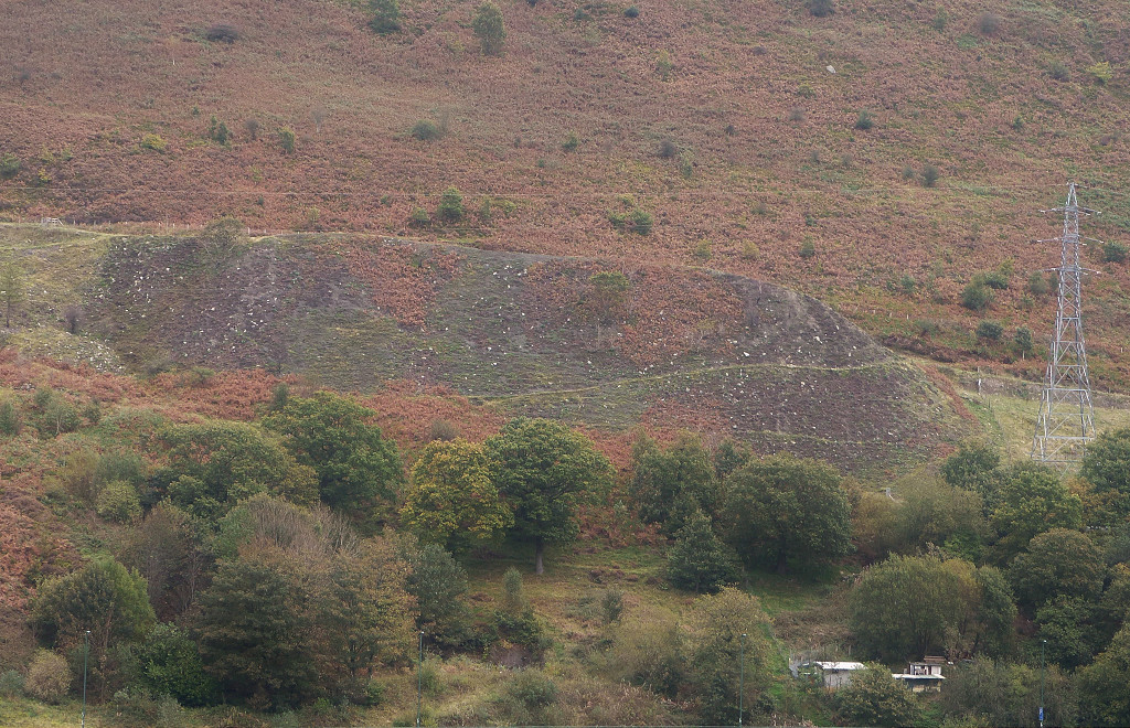
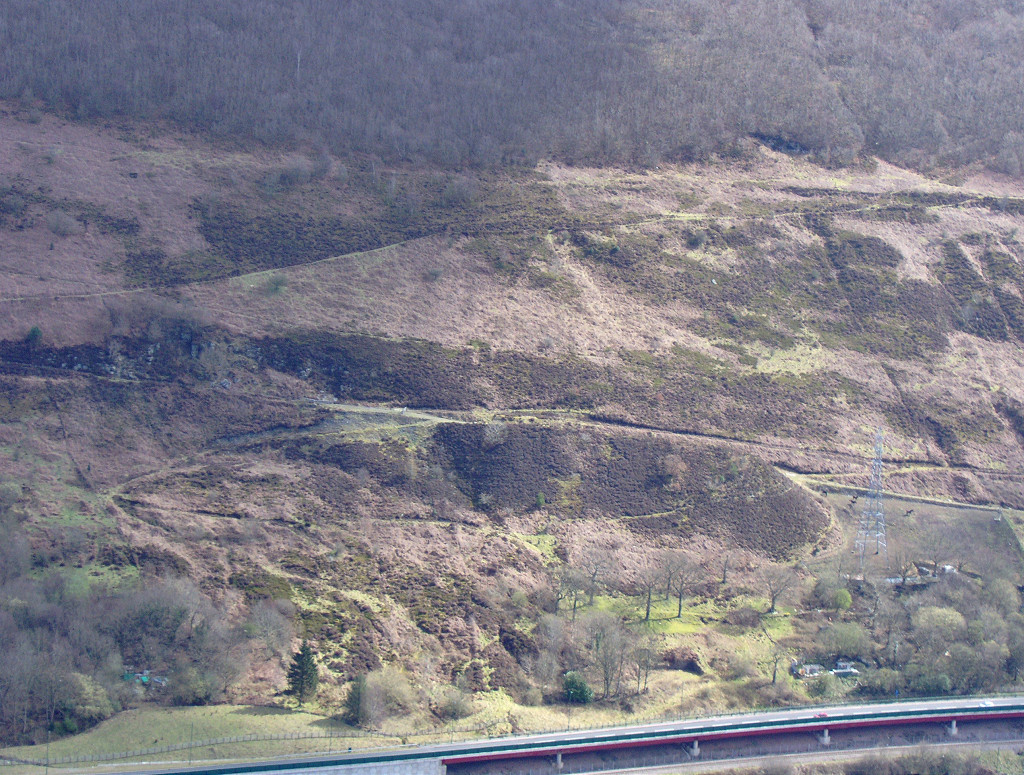
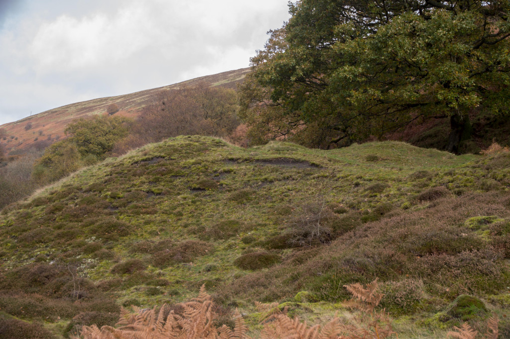
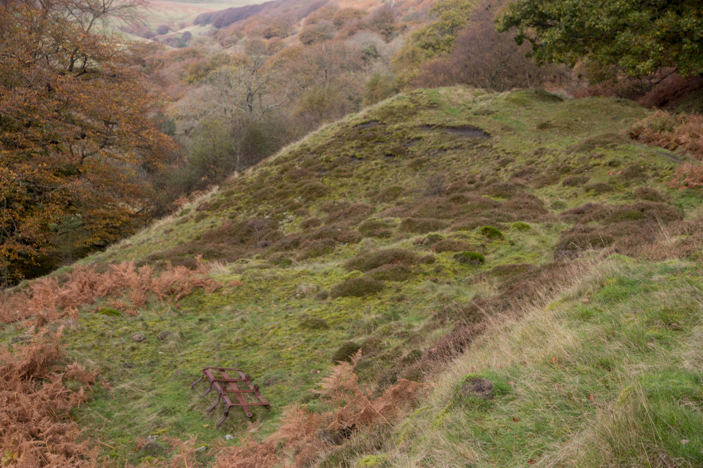
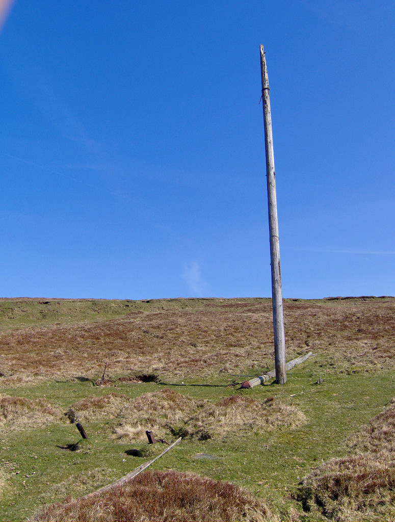
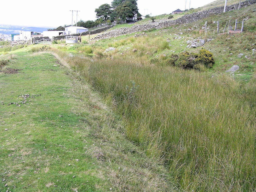
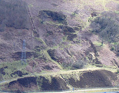
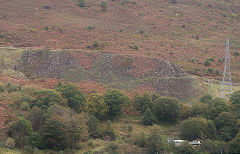
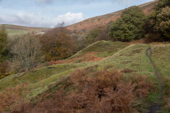
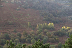
Cwm Colliery and coke ovens (also known as 'Cwm and Mon') opened in around 1880. A shallow incline went up to Cwm South (No 1) level . A new level, Cwm South No 2 or Red Ash, was opened by 1922, 200 metres north of No 1 on the tramway that ran along the hillside to Cwm North level (No 5). A number of other small levels were opened along the tramway but had gone by 1901. A line of disused electricity poles goes over the hillside above North level to Blaina. All activity along the hillside had ceased by 1953, probably after the end of WW2.
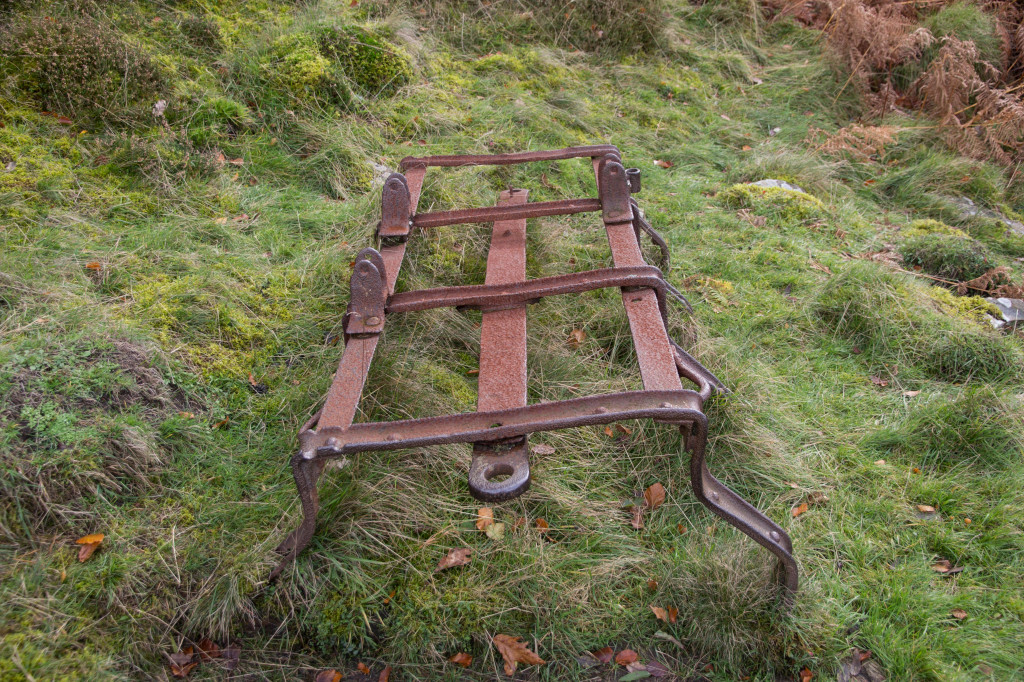
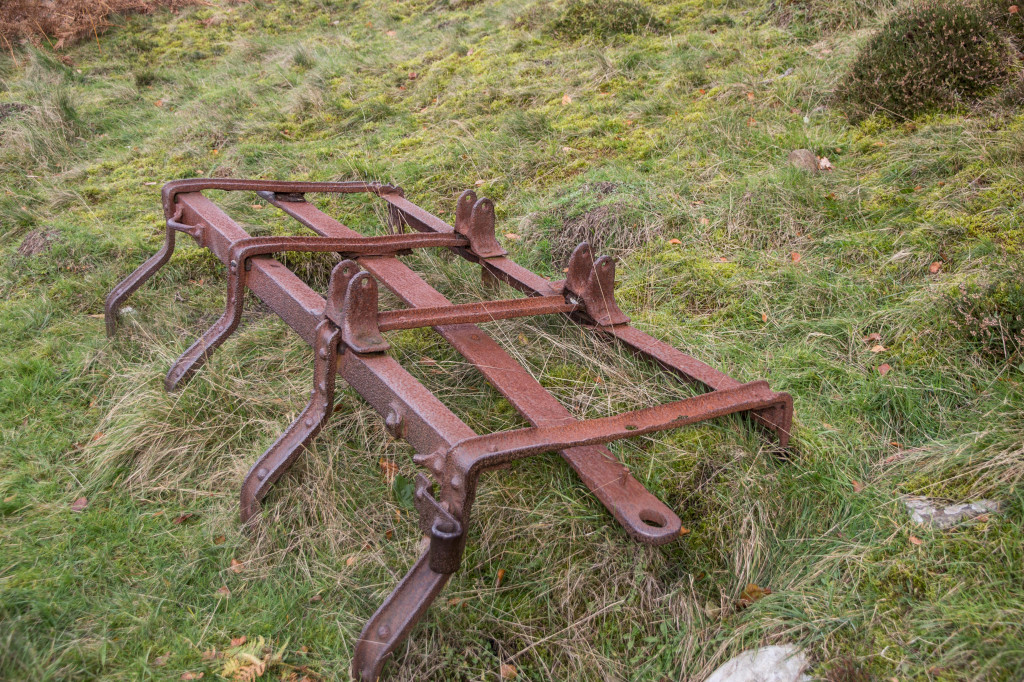
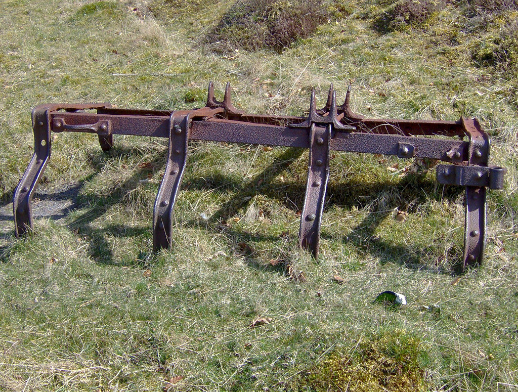
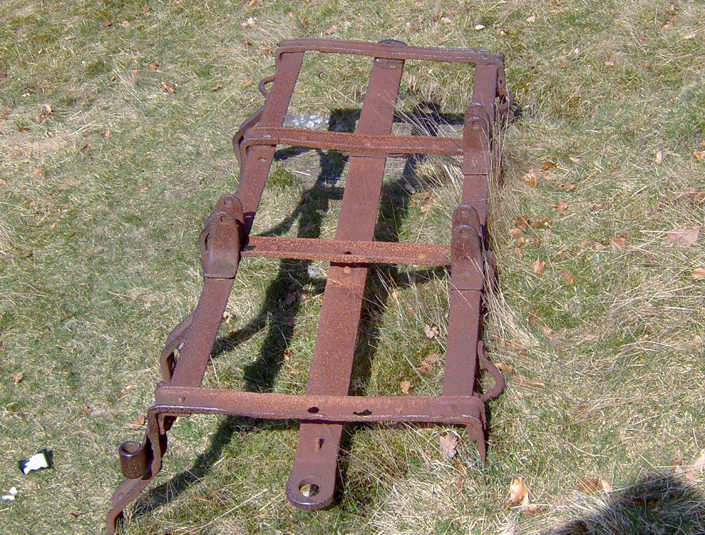
All along the hillside there are plenty of earthworks to be seen from the tips, collapsed adits and the courses of the tramways. One of the most interesting remains is the metal frame of an early wooden-bodied dram beside the tramway near the third level.
A quote from the 'Welsh Coalmines' forum :- "I will try and give you an armchair tour and suggest if you decide to walk it begin by parking in the lay by a little north of the pump sited on the roundabout at the south end of the new relief road in Cwm, walk a short distance on your right and join a track going north up the hillside before you proceed much further just a short distance up the track turn sharp right and follow this track which will lead you to the twin portals of the old CWM & MON COLLIERY fenced in, you are now standing on the spoil heap of this level,there may be something to see as there is a new water culvert made by the contractors when the road was built, after this retrace your steps and rejoin the main track and carry on north and passing a brand new pylon you will soon be walking on another large spoil heap as you come to the end of it northward look down and to your left and there should be the remains of an haulage engine set into the bank on your left at least it was still there some years ago, carry on north and you will be on another spoil heap you cant miss it as it was the victim of a grass fire not long ago you are still on the main dram road and the ground is becoming very boggy, on your right, where the ground is boggy there should be the remains of a sheave wheel. The ground is now becoming firmer and grassy look closely and in places you will see marks where the haulage ropes cut into the stones and on your right bank there should still be signs of collapsed adits and on your left a large spoil heap flowing down into the nature reserve this is the spoil from the Cock of the North at this point the road is fenced and styled and will lead you on and around the silent valley wast disposal so I think any further signs of adits will have been covered over, at this point I should explain some names of levels starting with Cock of the North and coming back down to the haulage engine area this was called Spiders level and the twin portals of Cwm and Mon was known as Ponds level but I am thinking they were all part of Cwm and Mon, if you wanted to you could come down through silent valley reserve and back up to the gates of the waste site then looking over into the valley you would be looking at where the short lived operation was sited, if you look above the dram-road you have just walked and you will see the depressions in the mountain where a local well known eccentric used to start levels this is in the Red Ash Rider seam about one foot six thick, well, I hope you enjoyed your walk I would give any thing to be able to do it again."
A panorama from the West bank
The Northern end of the tramway
|
The Southern end of the tramway
|
Cwm and Mon Colliery
|
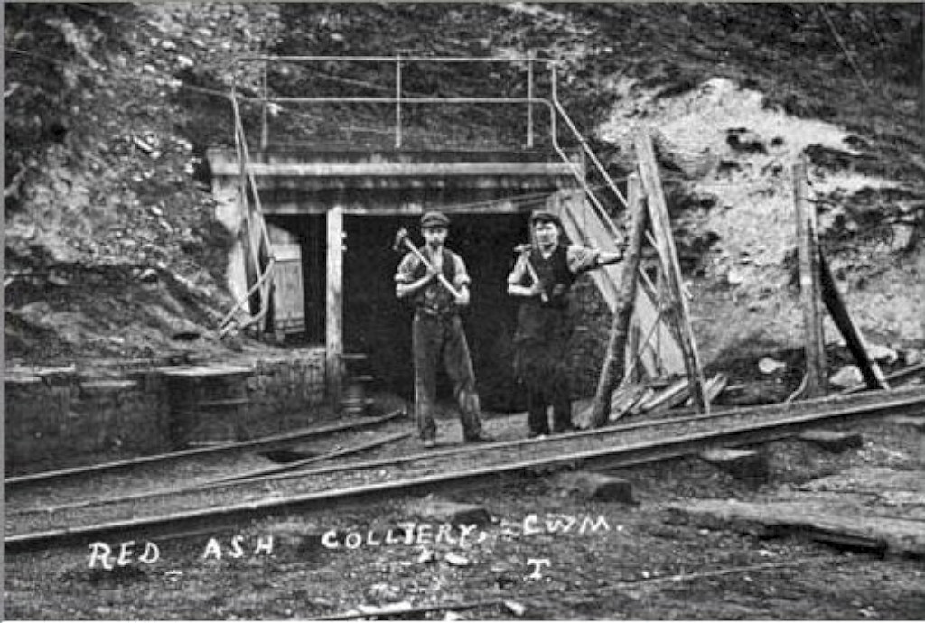
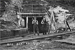
Red Ash Colliery
|
3rd level from the West bank
|
South No 2 level from West bank
|
South No 1 level from West bank
|
Cwm Colliery from the West bank
|
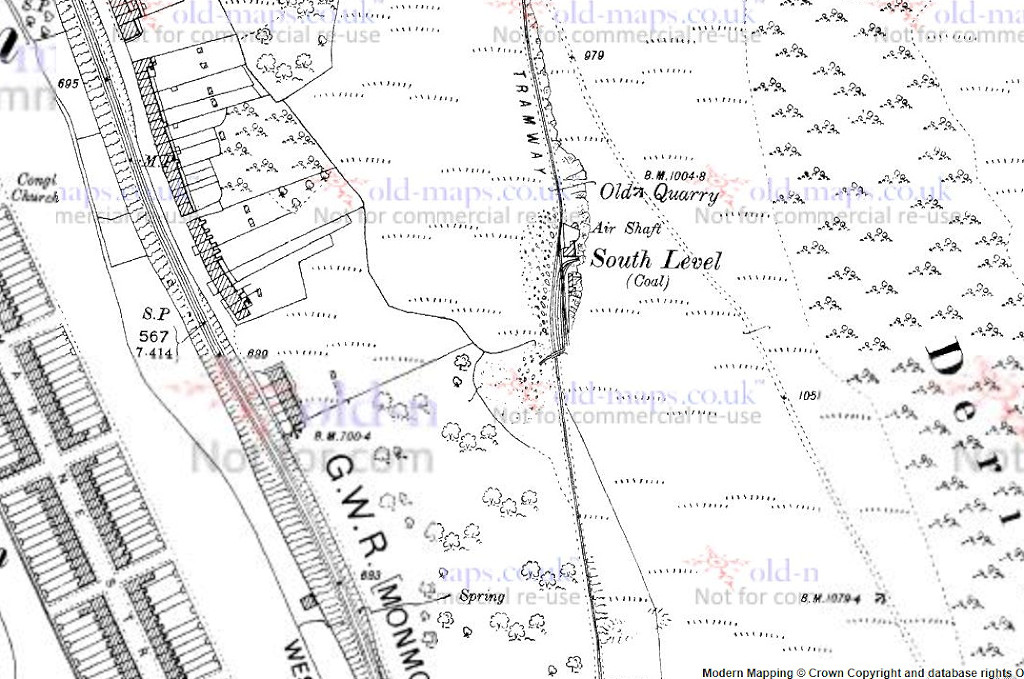
South No 1 level - SO 1885 0500
South No 2 level - SO 1887 0547
Cwm and Mon, 1901
|
South No 1 level, Cwm and Mon
|
South No 2 level, Cwm and Mon
|
Red Ash level
|

Cwm and Mon Colliery from West
|
Cwm and Mon Colliery from West
|
South No 1 level tips from West
|
South No 1 level tips from West
|

South No 1 level tips
|
South No 2 level tips
|
South No 2 level tips
|
Deri Merddog Quarry
|
Small level near No 1 level
|

Small level near No 1 level
|
Rail at small level near No 1 level
|
|
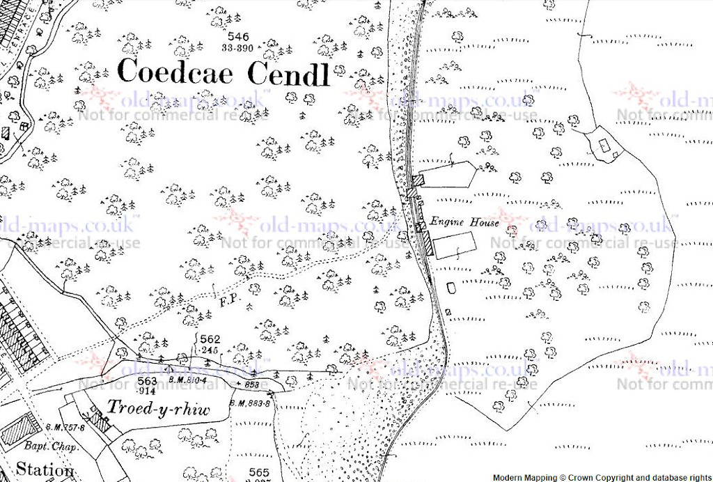
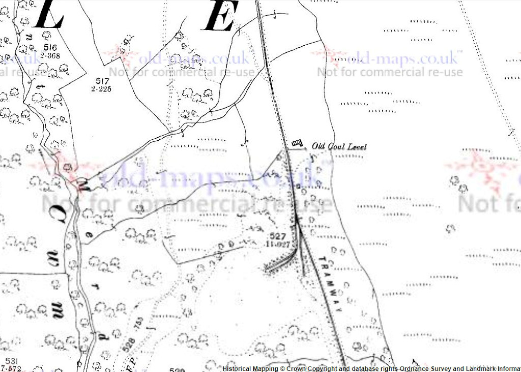
Cwm and Mon 3rd level - SO 1897 0590
3rd level, Cwm and Mon, 1901
|

3rd level tips, 'Cwm and Mon'
|

3rd level tips, 'Cwm and Mon'
|
3rd level tips, 'Cwm and Mon'
|

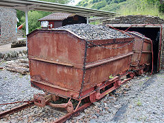
3rd level wagon frame
|
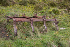
3rd level wagon frame
|
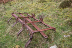
3rd level wagon frame
|
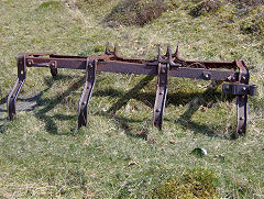
3rd level wagon frame
|
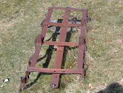
3rd level wagon frame
|
3rd level cable grooves
|
|
|
Cwm and Mon 4th level - SO 1889 0659

4th level, Cwm and Mon, 1901
|
4th level building
|
4th level tramway
|
4th level tramway
|
Cwm and Mon North Level (5th level) - SO 1882 0708
North Level, Cwm and Mon, 1901
|
North level, 'Cwm and Mon'
|
North level, 'Cwm and Mon'
|

North level tips, 'Cwm and Mon'
|

North level tips, 'Cwm and Mon'
|

North level tips, 'Cwm and Mon'
|
North level tips, 'Cwm and Mon'
|
North level tips, 'Cwm and Mon'
|
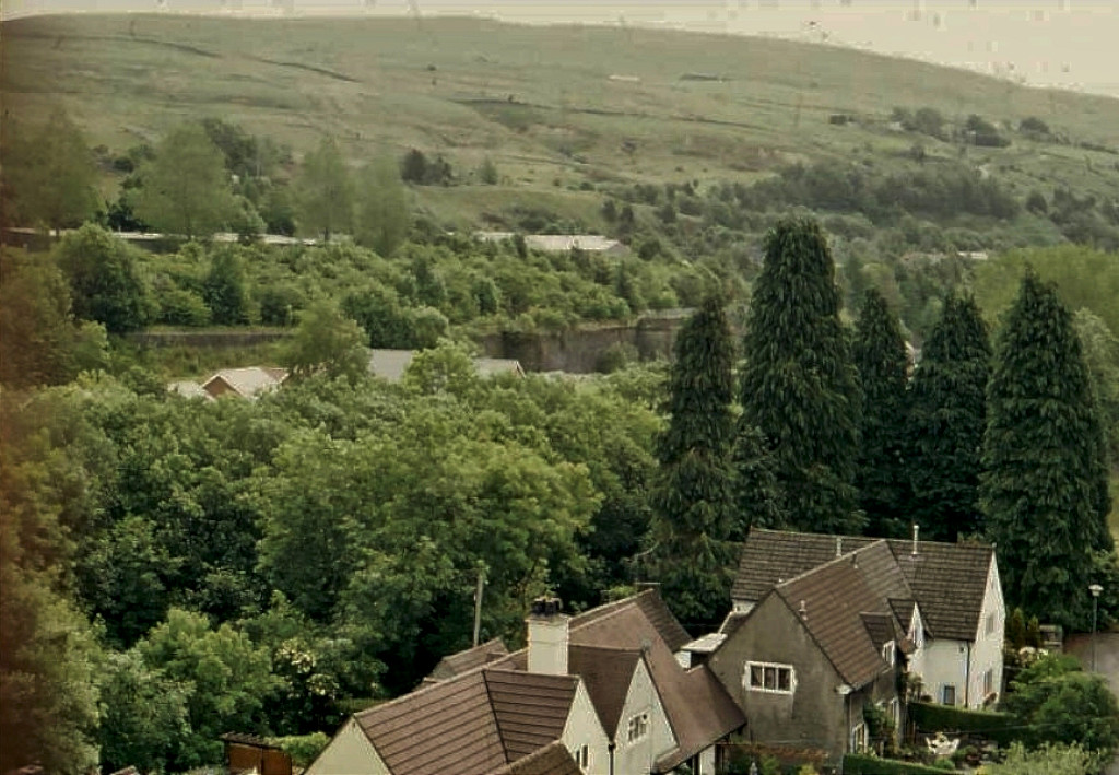
Ebbw Vale West
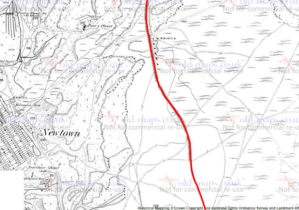
Lower Woods - SO 1777 0558
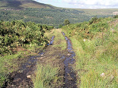
The tramway can be found again at the far end of Festival Park and caarries on South past old quarrying activity and a numbers of small levels and their tips, ending at SO 1808 0522, the last of the levels.
Lower Woods levels, 1880
|
Lower Woods from the East
|
Lower Woods North level tramway
|
Lower Woods North level tips
|
Lower Woods North level
|
Lower Woods South level tramway
|
Lower Woods South level
|
|
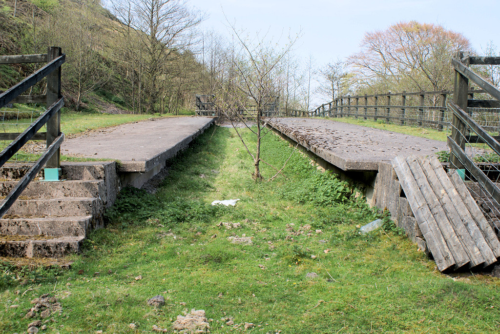
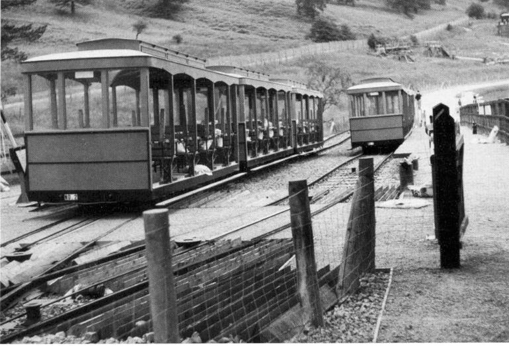
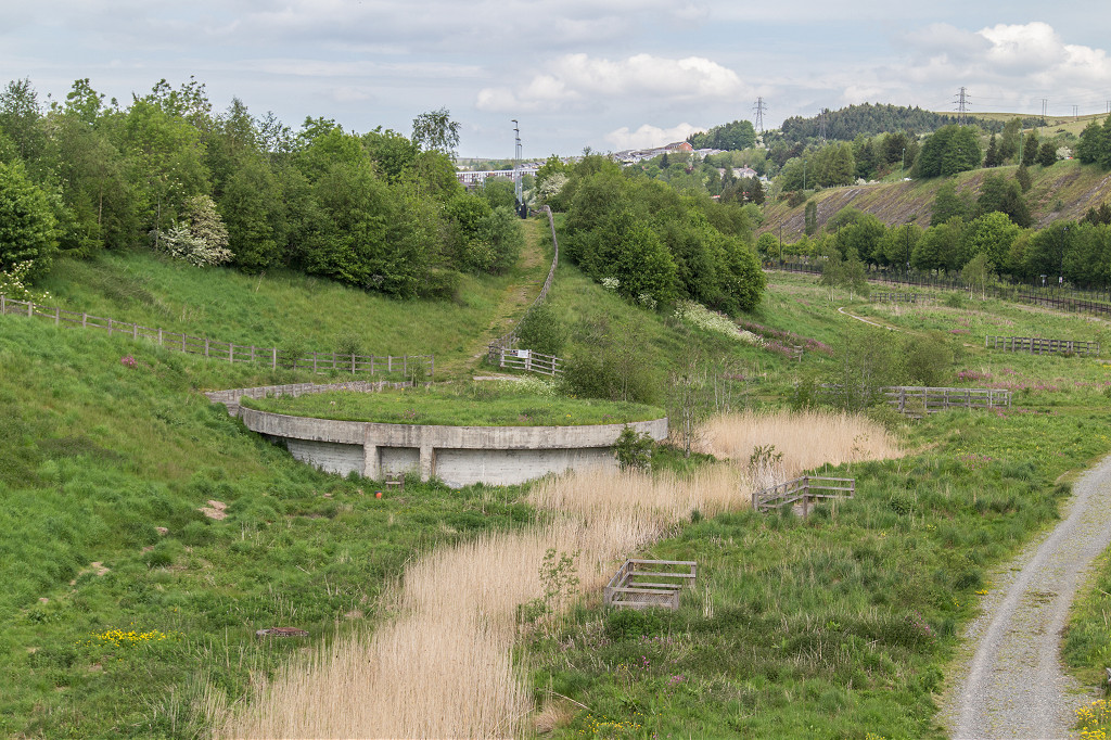
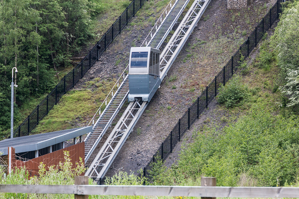
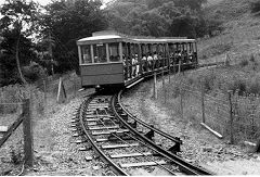
Funicular Railway station - SO 1703 0634
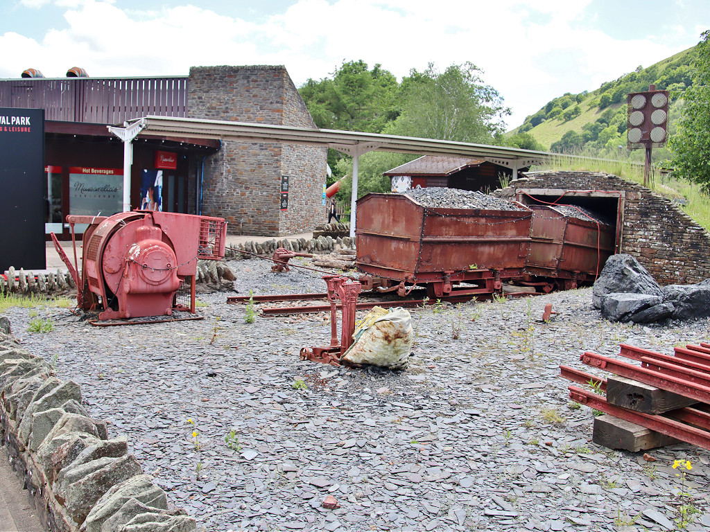
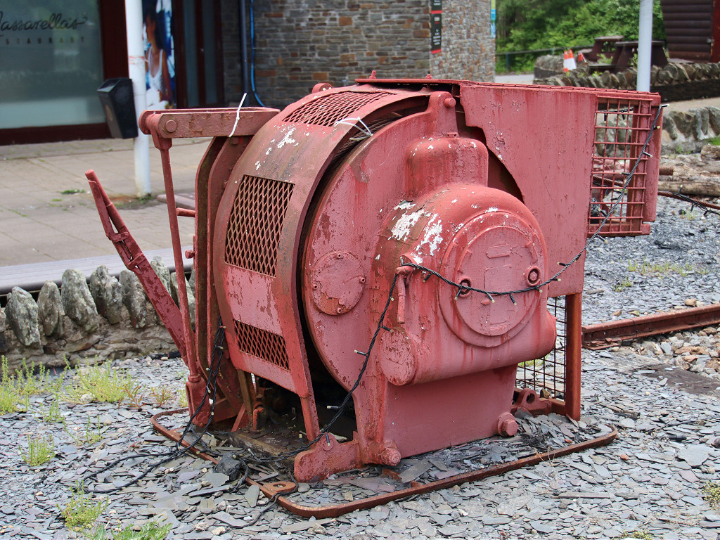
The 1992 Garden Festival had a funicular railway which ran to this station, which is still complete. The trackbed can be followed down to Festival Park. This is roughly the route of the original tramway until it gets lost in the re-development. There is a replica level with minecarts outside the main entrance to the shopping centre.
Funicular top station
|
Funicular top station
|
|
Festival Park funicular
|
Festival Park funicular
|
Festival Park funicular
|
Festival Park replica level
|
Festival Park replica level
|
Festival Park replica level
|
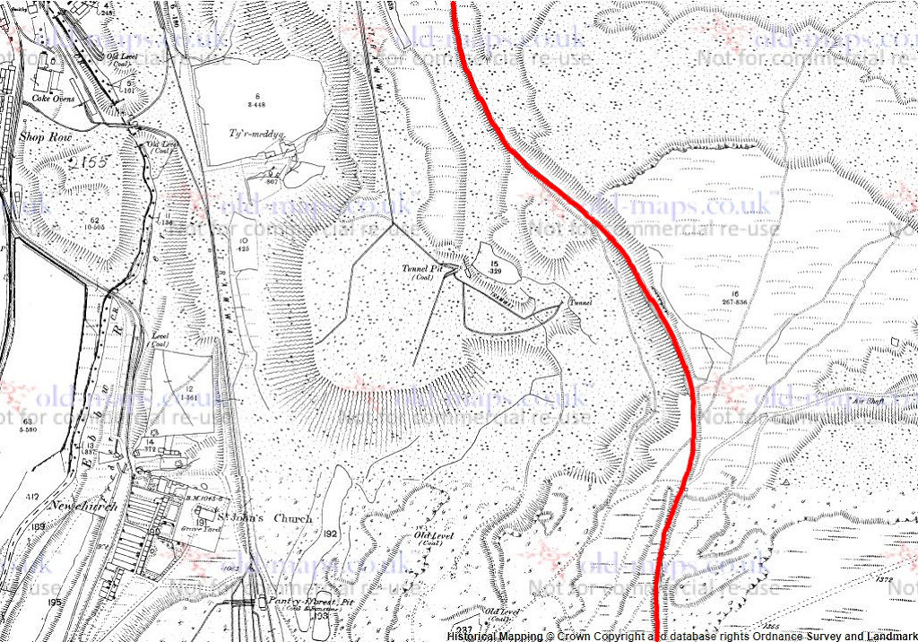
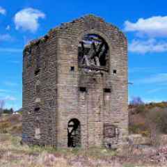
Victoria Incline - SO 1700 0745
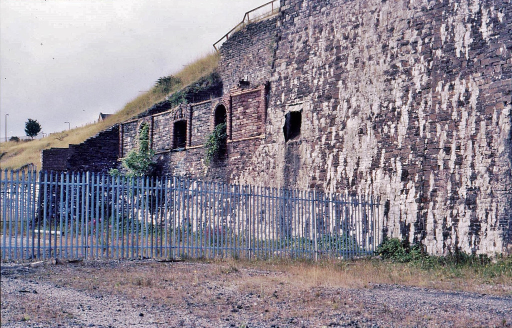
The incline ran half a mile from behind the coke ovens at Victoria Ironworks up to quarries and levels on the Western hillside. It was in operation from c1840 to c1929. The route is clear for most of its length, running beside a public footpath.
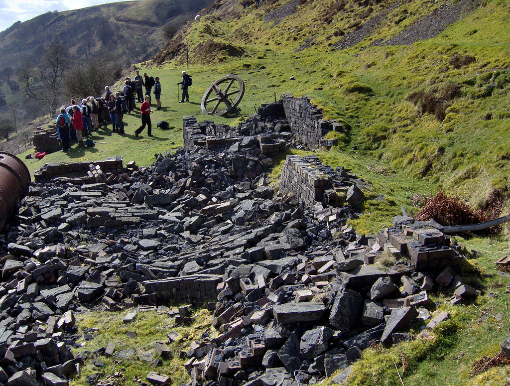
More from Geoff Palfrey's research :- "There were two engine houses, the first to the north of the more modern one, erected to quarry stone and coal for the new village of Victoria below, its ironworks opened in 1838. The flywheel is probably the original based on the square wrought iron shaft and the badly set keys on it. The original portal is walled north of the house, it mined the Brithdir / Tyleri seam, if you look in the Quarry you can see it’s line. It closed around 1929 and had reinvestment, probably when the Koppers ovens were opened around 1905/7 There are three quarries one north of the house, another above it south and a small one near the incline bottom, above the Brithdir is sandstone, below pennant rock, it did not mine ore though, these veins lie below in the valley floor at this point.Its probable that the stone for Ebbw cottages was removed from here after the EV co bought The doomed Victoria Ironworks. The engine house was roofless but walled when I was a kid, it was demolished for the Garden Festival, to make it safer."
Victoria Incline from the East
|
Victoria Incline from the East
|

Victoria Incline from the East
|
Incline up from Victoria
|
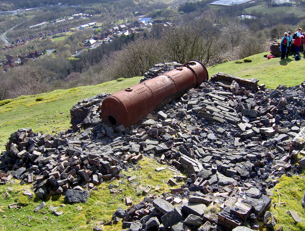
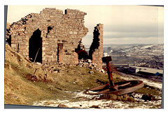
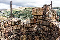
Incline top and engine house - SO 1689 0679
The foundations of the engine house and its boiler are at the top of the incline, along with a large cast flywheel and the stub axle that may have held the winding wheel. The tramway continued South up to 1901 but after that only a spur to the Northern quarry remained, another spur to levels to the North already being disused.
Victoria Incline, Ebbw Vale, 1880
|
Victoria Incline Engine House
|
Victoria Incline Engine House
|
Victoria Incline Engine House
|
Victoria Incline Engine House
|

Victoria Incline Engine House
|
Victoria Incline Engine House
|
Victoria Incline Engine House
|
Victoria Incline Engine House
|

Victoria Incline Engine House
|
|
Victoria Incline Engine House, c1990
|
Stonework near engine house
|
|
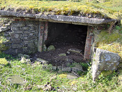
Magazine near engine house
|

Magazine near engine house
|
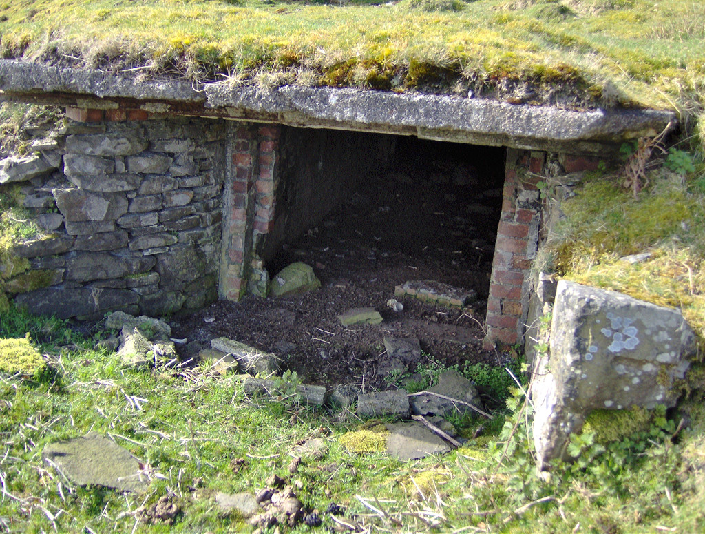
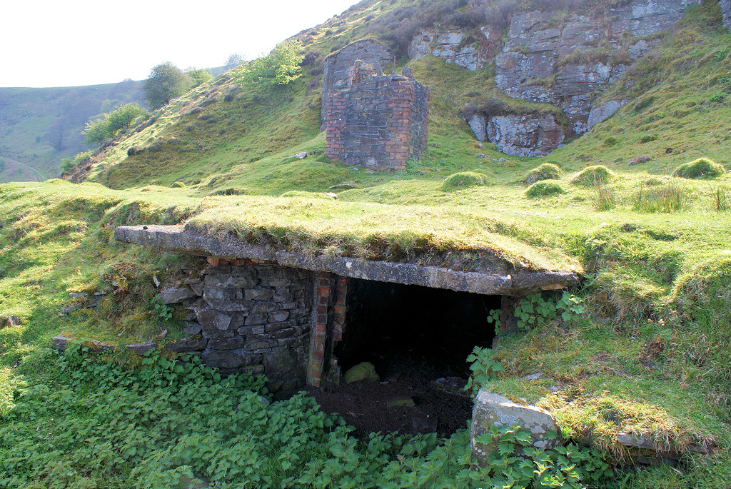
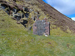
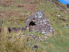
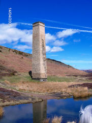
Victoria Red Ash Colliery - SO 1698 0654
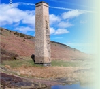
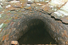
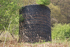
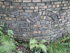
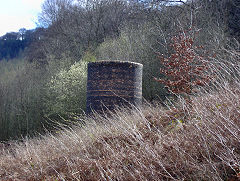
This is the funace ventilation level of Victoria Red Ash Colliery, also known as Victoria Graig Fawr. About 8ft of the chimney stands beside the tramway and even though it's square on the outside, the interior is circular as it carried a wrought-iron flue. The entrance to the level itself is just below the tramway. It is blocked just beyond the chimney but the furnace area is clear and there are grooves in the wall where the ventilation barriers were. A little further along are foundations of the weigh house and retaining walls at the site of the main level.
Victoria South levels, 1880
|
Furnace level chimney
|
Furnace level chimney
|
Furnace level chimney
|
Furnace level chimney
|

Furnace level chimney
|
Furnace level entrance
|

Furnace level entrance
|
Furnace level interior
|
Furnace level interior
|
Furnace level interior
|
Furnace level interior
|
Furnace level interior
|
Furnace level interior
|
South level stonework
|
South level weigh house
|
South level weigh house
|

South level, Victoria
|
South level, Victoria
|
South level, Victoria
|
On the top of Y Domen Fawr
Y Domen Fawr building
|
Garden City from Y Domen Fawr
|
Quarries above Festival Park
|
|
Ebbw Vale East
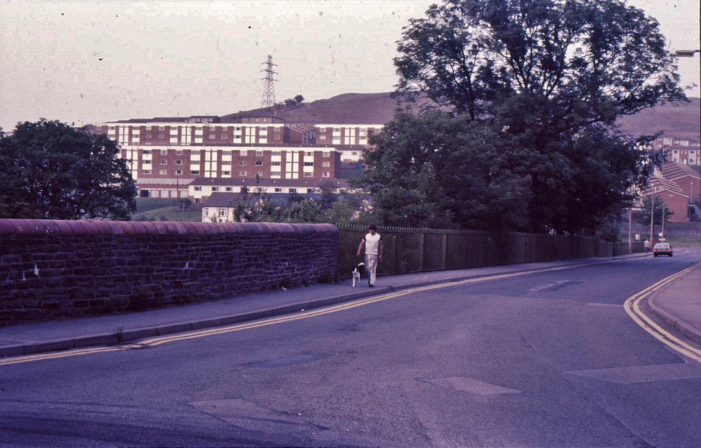
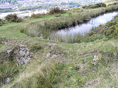
Waun Lwyd reservoir - SO 1808 0743
The reservoir was in existence by 1880 feeding a string of linear reservoirs running along the hillside below, presumably feeding the original ironworks. A concrete spillway exists at the Southern end and another about halfway along. This area was being 'prettified' in 2010.
Waun Lwyd powerhouse
|

Waun Lwyd reservoir
|
Waun Lwyd reservoir
|
Waun Lwyd reservoir spillway
|
Waun Lwyd to Blaina power line
|
Waun Lwyd to Blaina power line
|
|
|
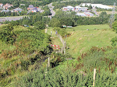
Silent Valley Incline - SO 1784 0732
A steel footbridge taking a footpath over the incline. Further up, a concrete subway took the incline under a mountain track. It appears to have had separate passages for each direction and is now used as an animal shelter. The upper section has the remains of sleepers and lengths of the haulage cable.
Silent Valley incline from West
|
Silent Valley incline from West
|
Silent Valley incline from West
|
Silent Valley lower incline
|
Silent Valley upper incline
|

Silent Valley incline
|
Silent Valley incline
|
Silent Valley footbridge
|
Silent Valley footbridge
|
Silent Valley incline underpass
|
Silent Valley incline underpass
|
Silent Valley incline haulage cable
|
Silent Valley incline sleeper
|
|
|
|
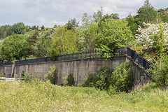
Ty Llwyn reservoirs - SO 1786 0836
The string of reservoirs at Ty Llwyn were the feeders for the original Ebbw Vale ronworks.
Ty Llwyn reservoirs
|
Ty Llwyn reservoirs
|
Ty Llwyn reservoirs spillway
|
|
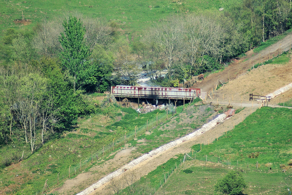
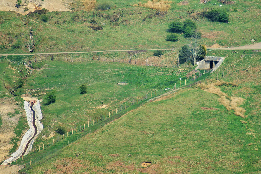
Red Ash level - SO 1825 0847
The main level is at the end of the tramway from the incline top with a branch tramway running back to the second level at SO 1823 0877. Both were marked disused by 1901 with the second level already disused on the 1880 map. A substantially built incline on embankments at both ends and a cutting in the centre runs down to the tipping dock. A length of rail is visible at the lower end of the cutting. The tipping dock appears to be stone built and connected with the Beaufort tramway just beyond Bwlch-y-garn Pit.
Red Ash Level, c1880
|
Red Ash Level tips
|
Red Ash Level upper incline
|
Red Ash Level upper incline
|
Red Ash Level upper incline
|
Red Ash Level incline cutting
|
Red Ash Level lower incline
|
Red Ash Level lower incline
|
Red Ash Level incline rail
|
Red Ash Level tipping dock
|
Red Ash Level incline tipping dock
|
Red Ash Level incline tipping dock
|
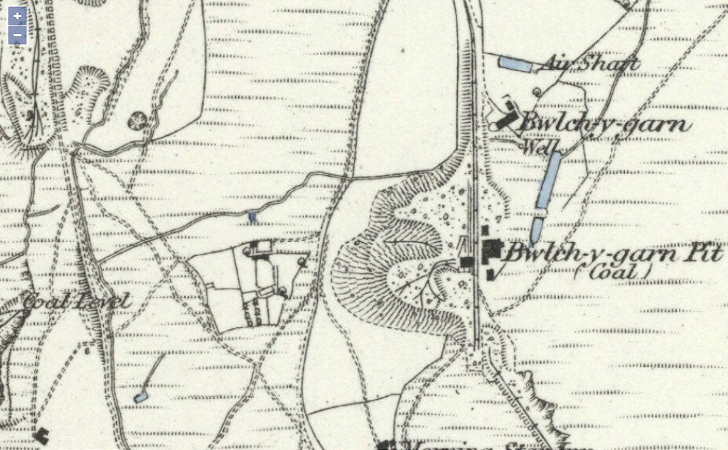
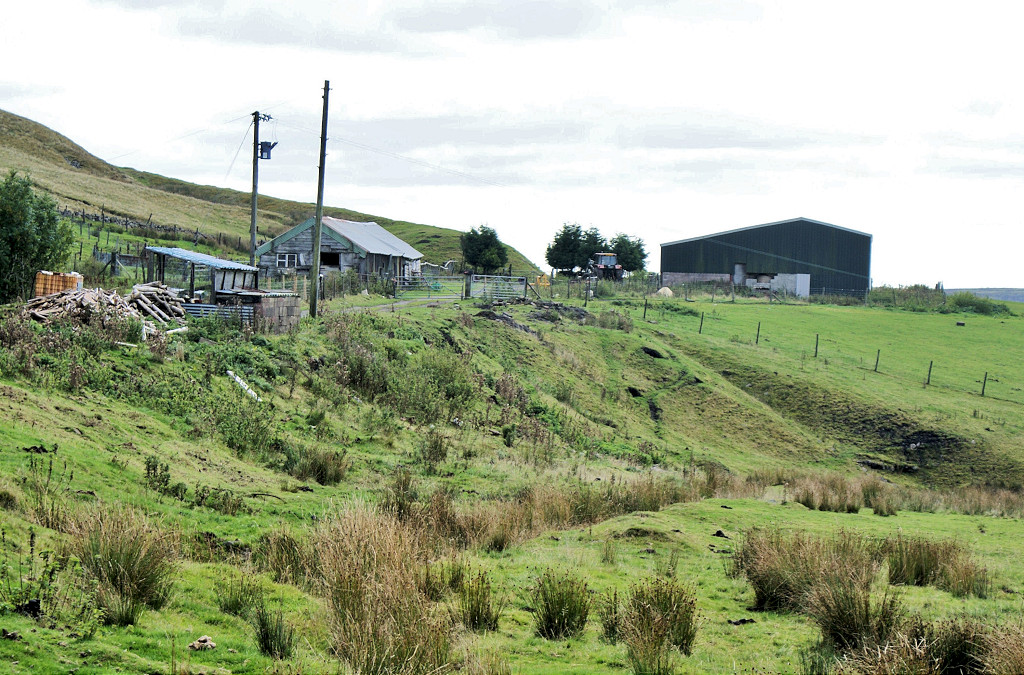
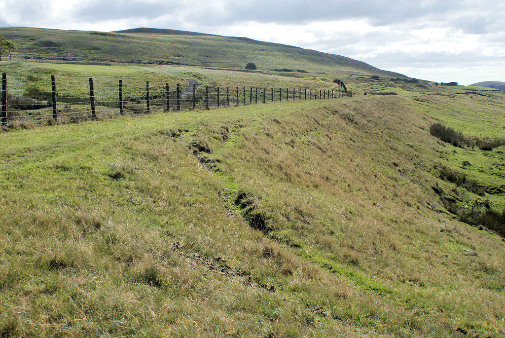
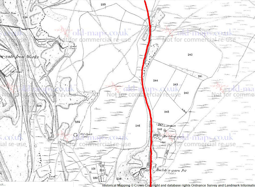
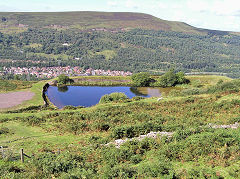
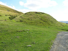
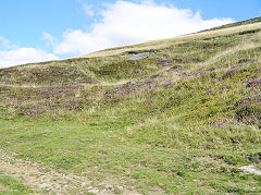
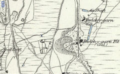
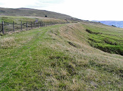
Bwlch-y-garn Pit - SO 1780 0926
Now part of the farm, some indistinct foundations and the Pit reservoir remain. This pit was something of a deathtrap, 7 colliers aged 15 to 50 being killed between 1861 and 1874, the coroner reporting their deaths very coldly, You can read the reports on the cmhrc.co.uk website. Bwlch-y-garn Pit was linked to Beaufort Ironworks by a lengthy and very exposed tramway. There is a good section of the trackbed of the tramway which ran to SO 1819 1110 and then reversed down to the Beaufort tramroad. The route to the North has been landscaped.
Geoff Palfrey's research reveals :- "The line was opened in November 1853 to the new pits at Pwll Garn, all of the Beaufort pits closed in mid January 1877, Two locos ran the line, they had sheds at the incline. A derailment in the 1860's caused the death of a 21 year old Blacksmith called Boulter, the loco picked up colliers at 6 pm each night, one Friday, while returning it derailed at only 4 miles per hour, but luckily, broke the couplings leaving the colliers trucks on the line, the loco and one truck dropped 60 feet down an embankment into a bog, the fireman and driver jumped clear but Boulter was crushed by the loco. It took until the following Monday to get the loco back onto the line, crowds came to watch, quite a feat in those days of manual labour I think."
Bwlch-y-garn Pit, c1880
|

Bwlch-y-garn Pit site
|
Bwlch-y-garn Pit tramway
|
Bwlch-y-garn Pit tramway
|
Bwlch-y-garn tramway, c1880
|
Bwlch-y-garn tramway, c1880
|

Bwlch-y-garn tramway, c1880
|
Bwlch-y-garn tramway, c1880
|
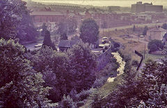
Ebbw Vale Town
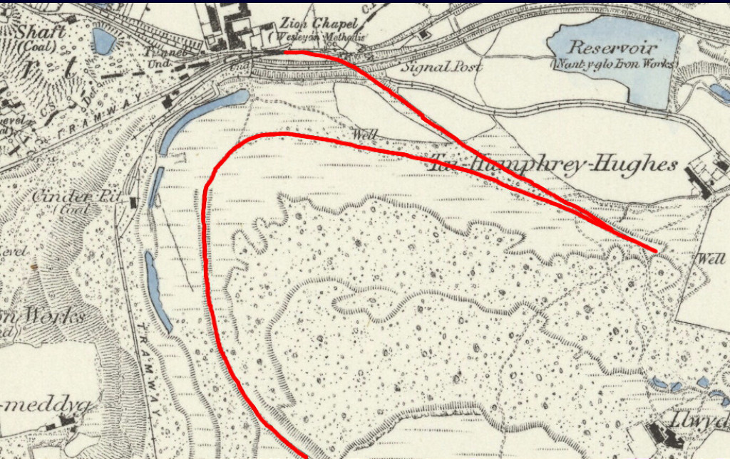
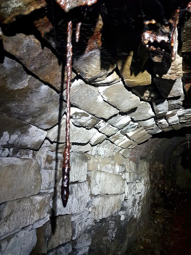
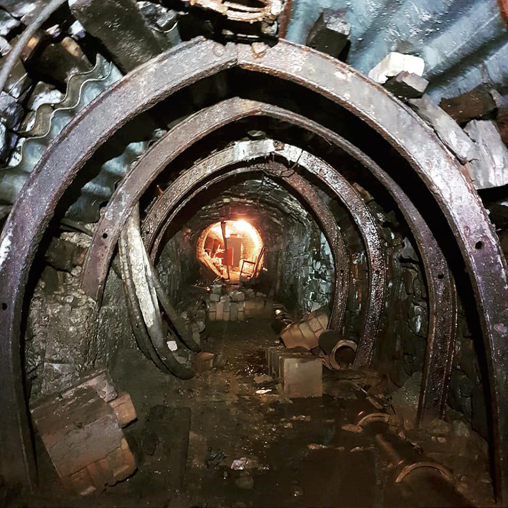
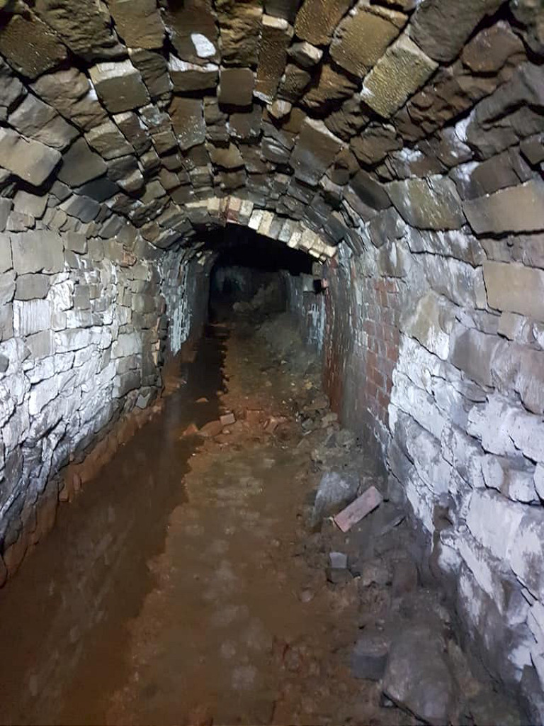
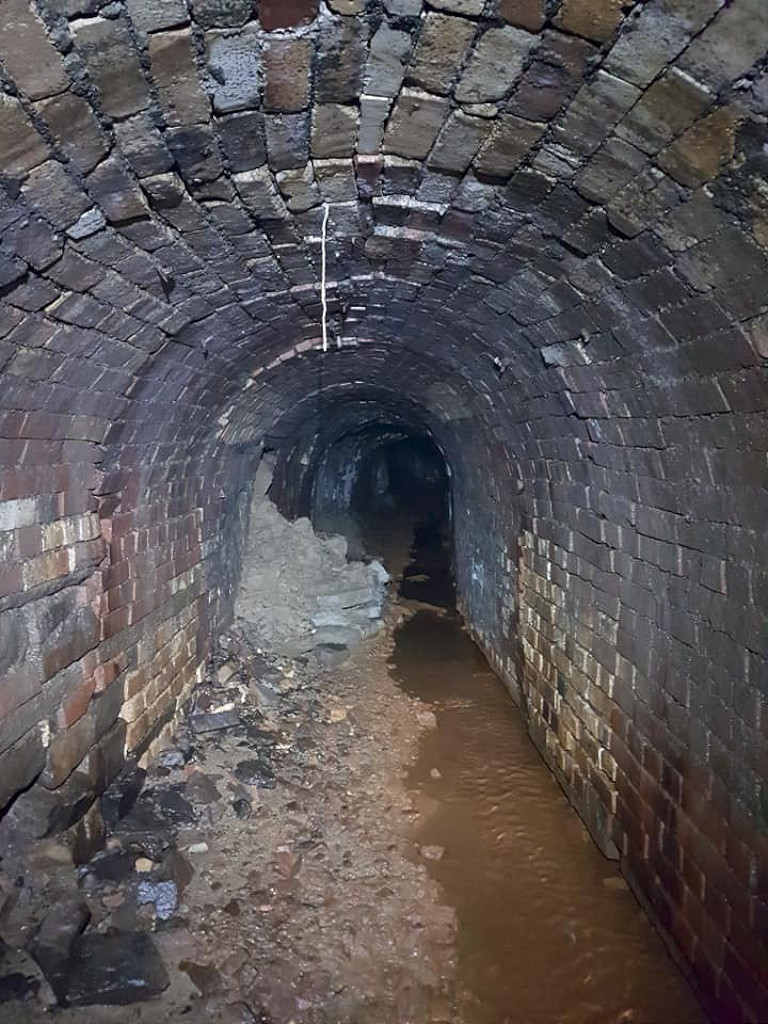
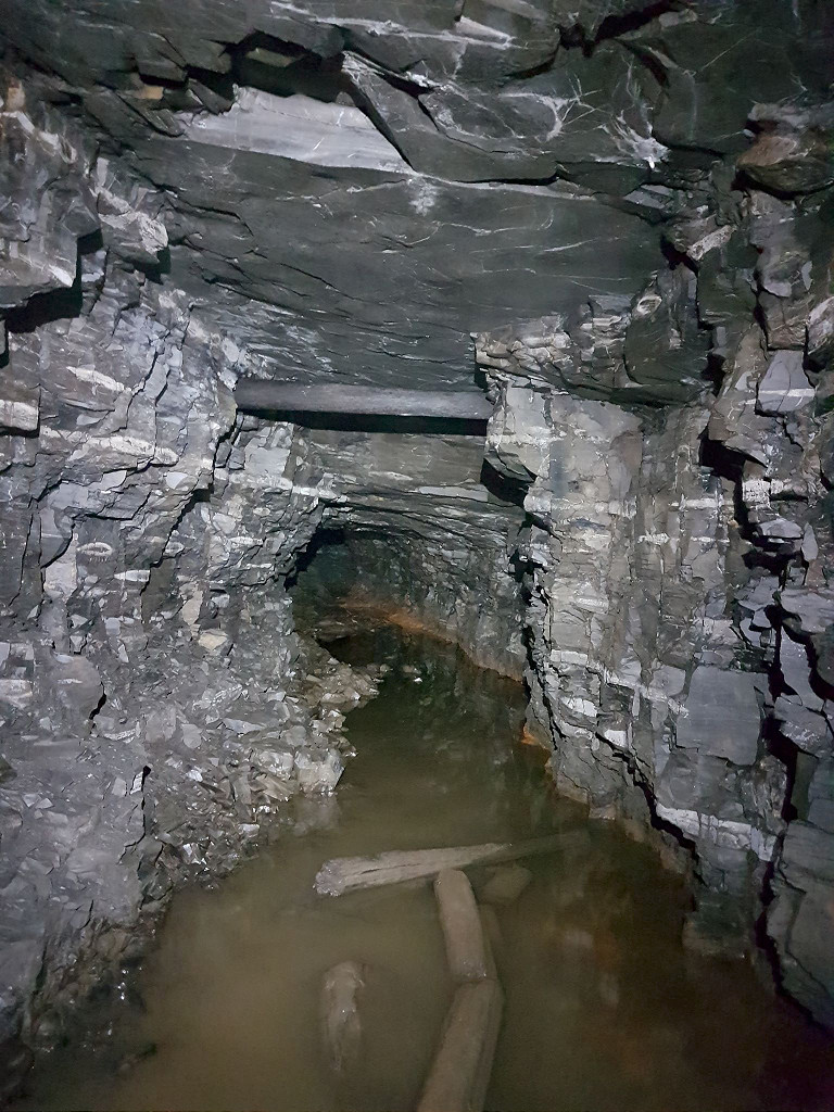
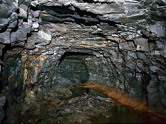
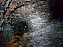
Beneath the city streets... Part 1
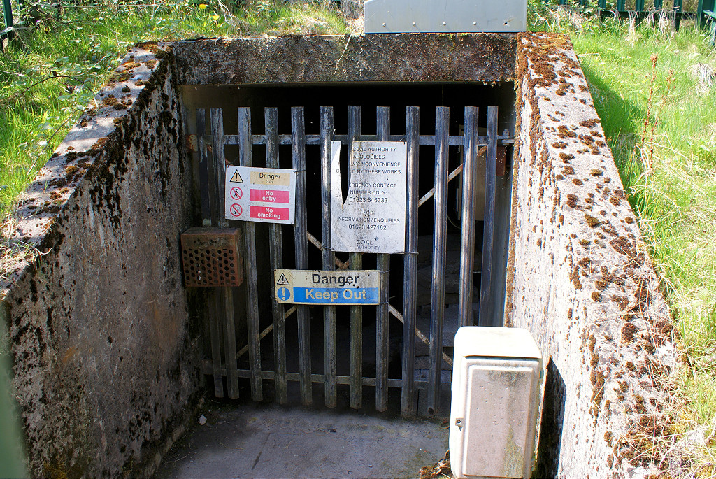
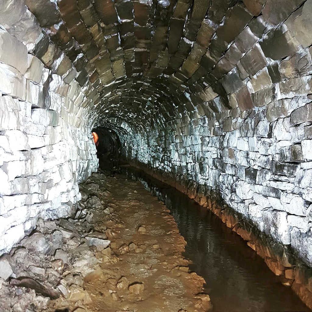
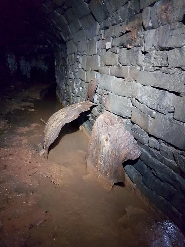
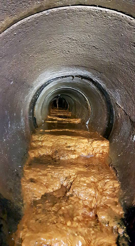
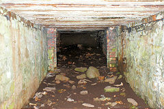
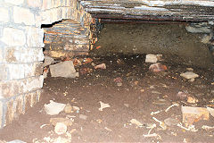
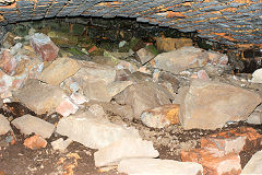
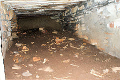
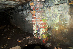
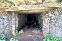
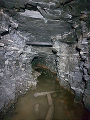
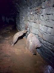
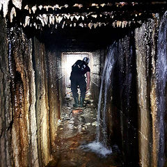
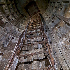
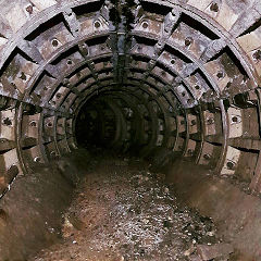
An old tunnel running under the streets of Ebbw Vale was recently inspected by a mining team and here are their photos. This may be the Elled Colliery workings or one of the three tunnels that ran from Ebbw Vale to Sirhowy Ironworks. Hopefully ther will be more exploration but it's no surprise that the air quality is very poor.
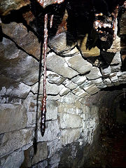
Ebbw Vale ironmine
|

Ebbw Vale ironmine
|
Ebbw Vale ironmine
|
Ebbw Vale ironmine
|
Ebbw Vale ironmine
|
Ebbw Vale ironmine
|
Ebbw Vale ironmine
|
Ebbw Vale ironmine
|
Ebbw Vale ironmine
|
Ebbw Vale ironmine
|

Ebbw Vale ironmine
|
Ebbw Vale ironmine
|
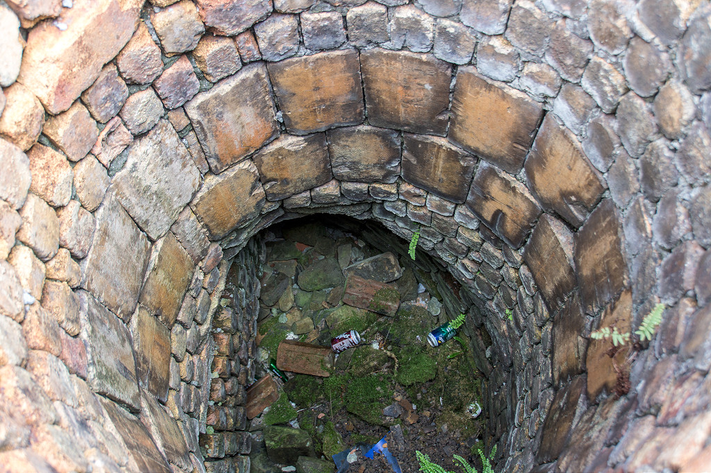
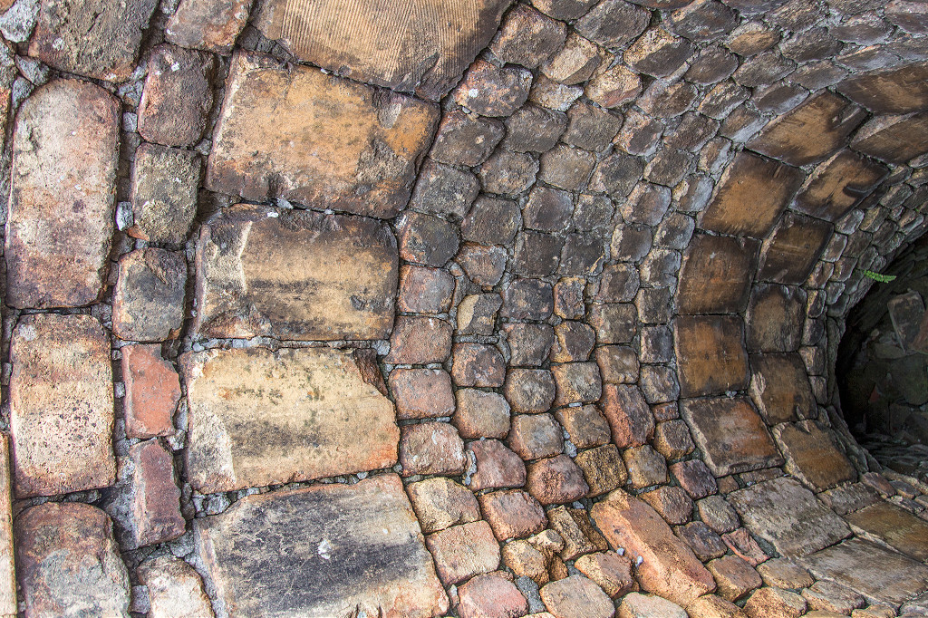
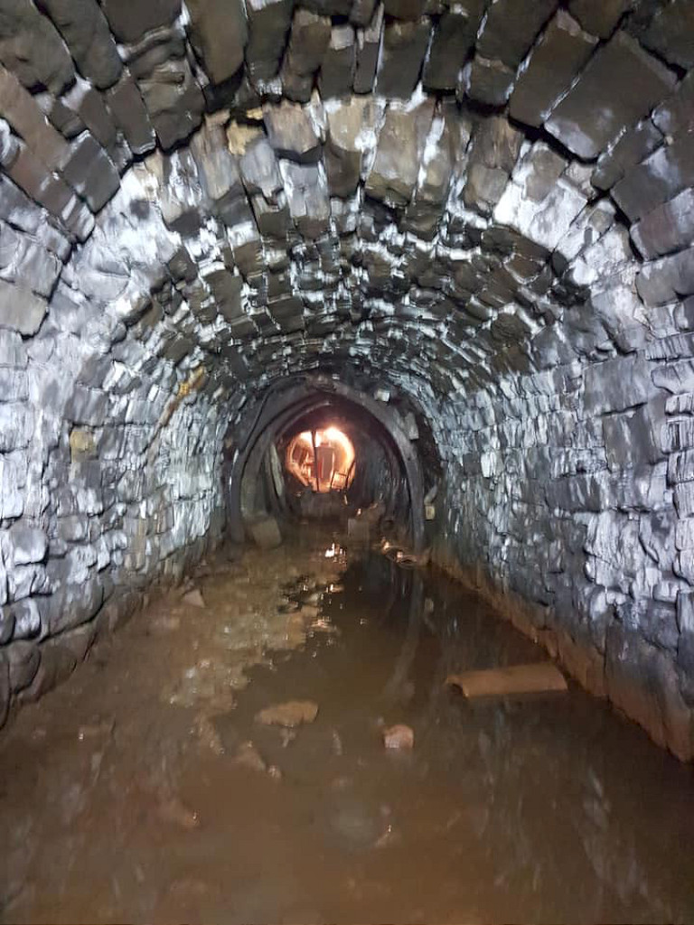
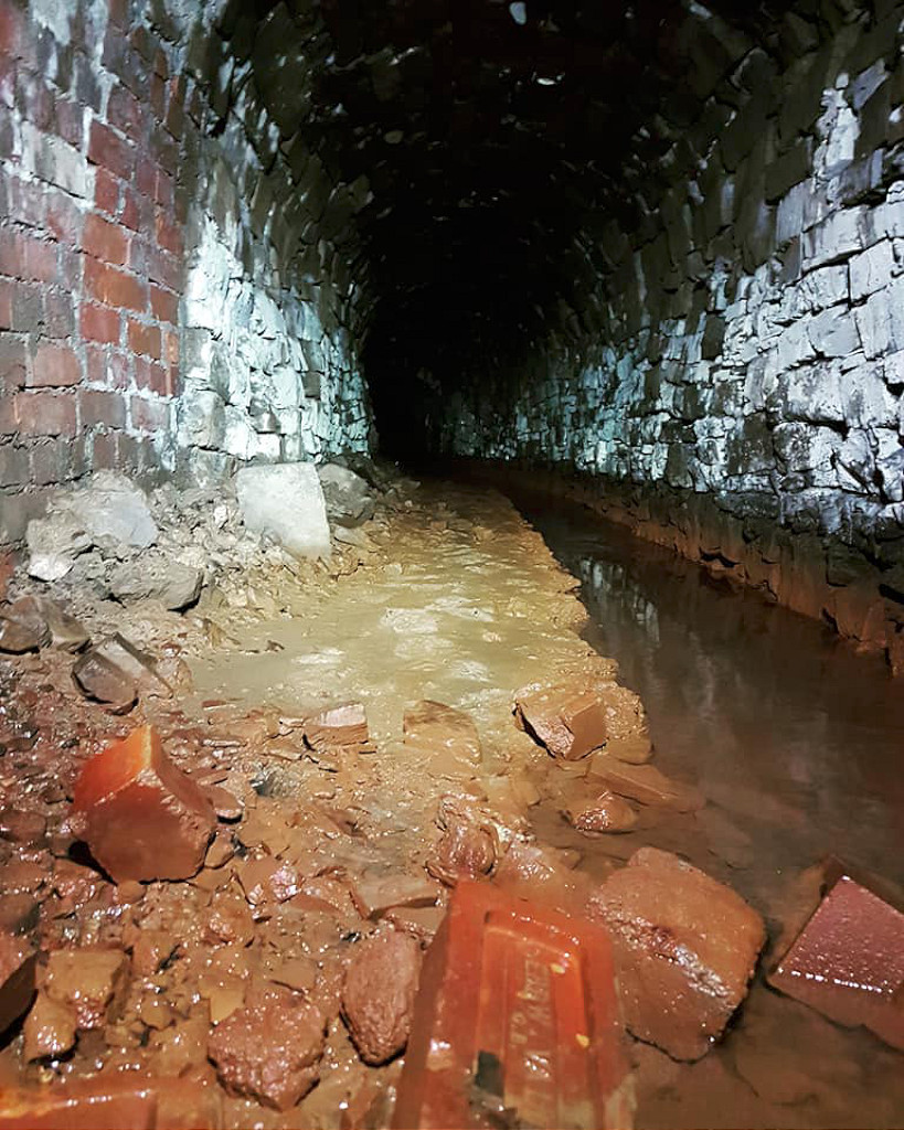
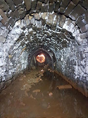
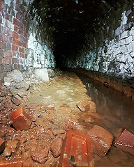
Beneath the city streets... Part 2
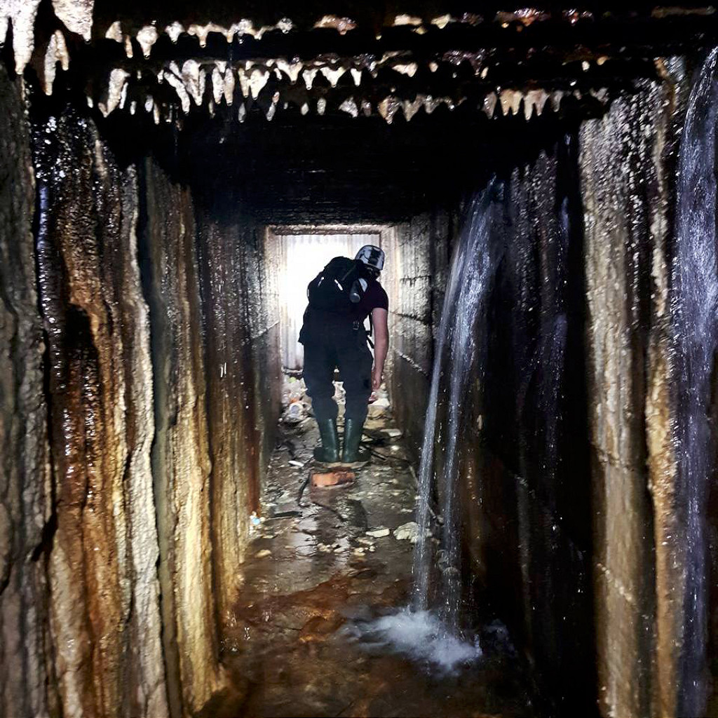
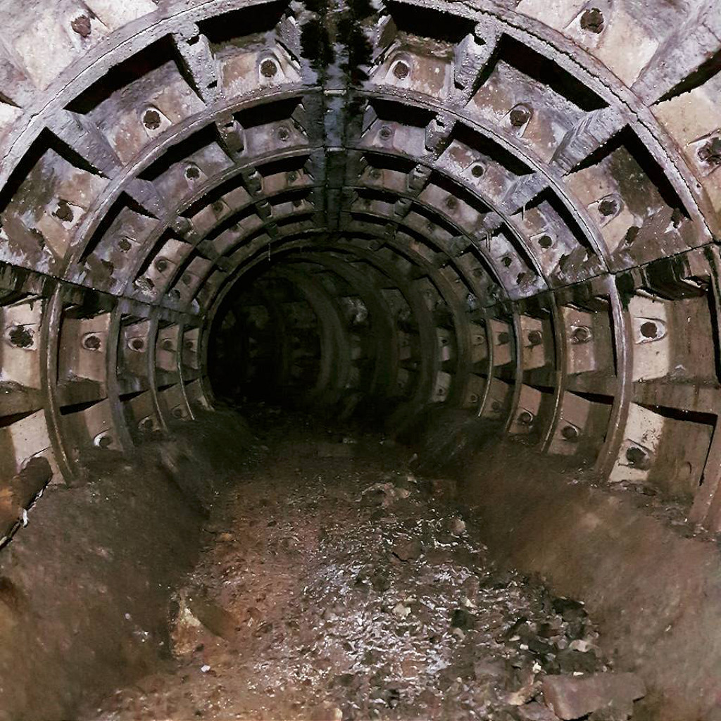
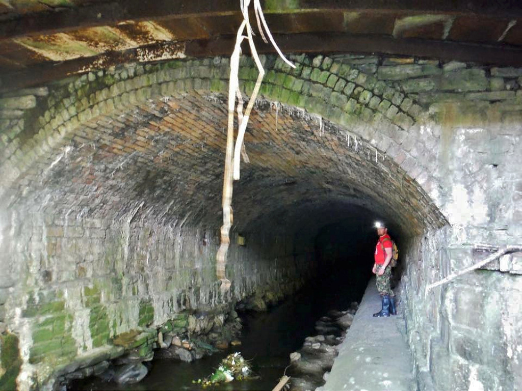
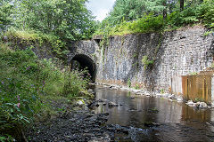
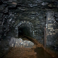
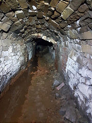
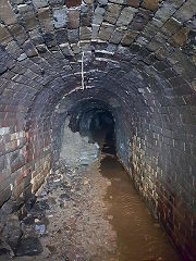
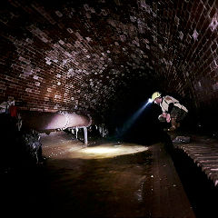
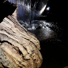
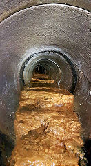
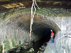
Affectionately known as 'Dunkin Donuts' this is the River Ebbw tunnel under Victoria that comes out by Parkway station. The intrepid explorers of Gwent Caving Club have searched its nooks and crannies for buried treasure and found - a lot of dirty water. Oh well....

'Dunkin Donuts'
|
'Dunkin Donuts'
|
'Dunkin Donuts'
|
'Dunkin Donuts'
|
'Dunkin Donuts'
|
'Dunkin Donuts'
|
'Dunkin Donuts'
|
'Dunkin Donuts'
|
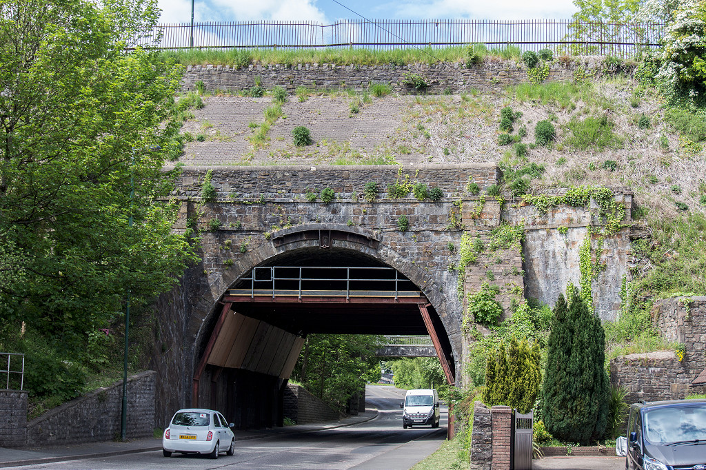
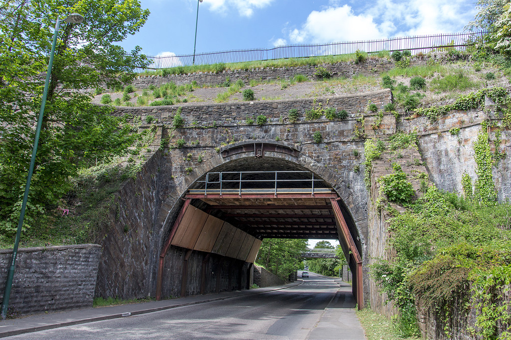
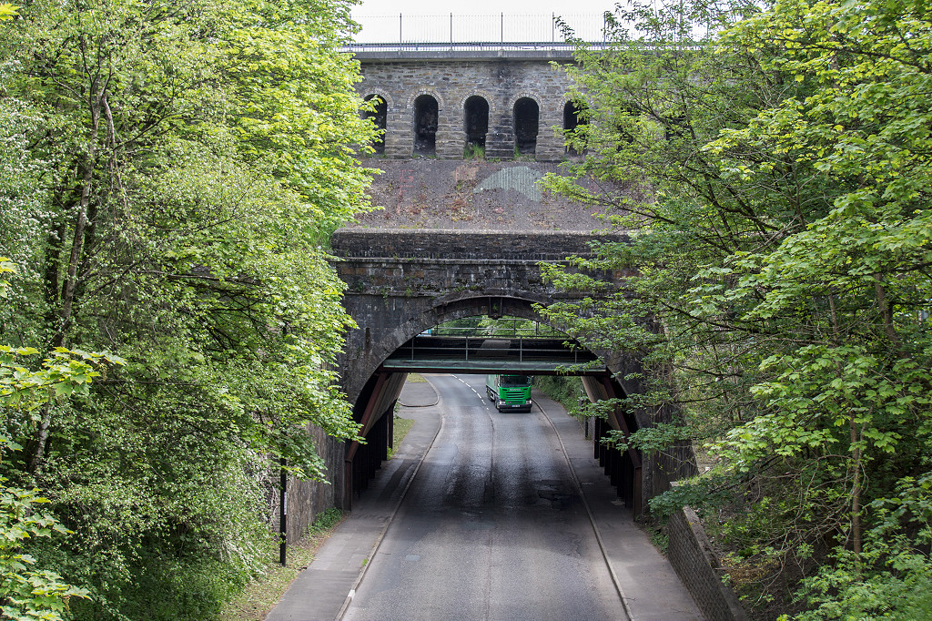
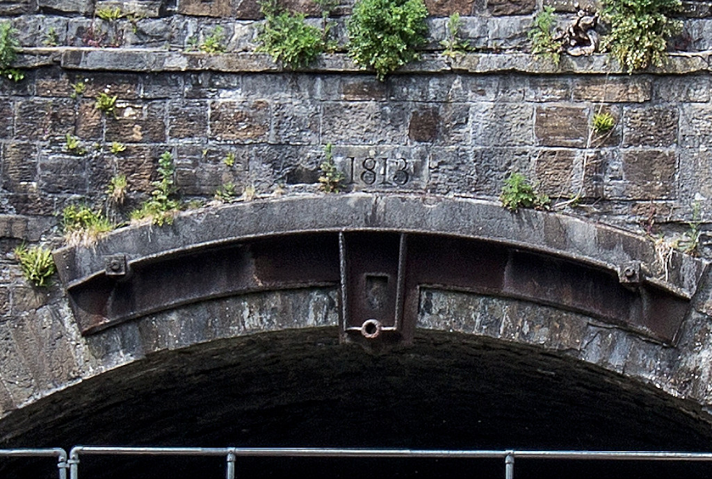
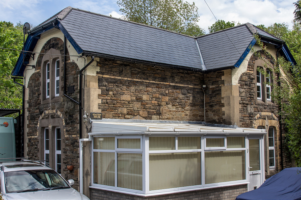
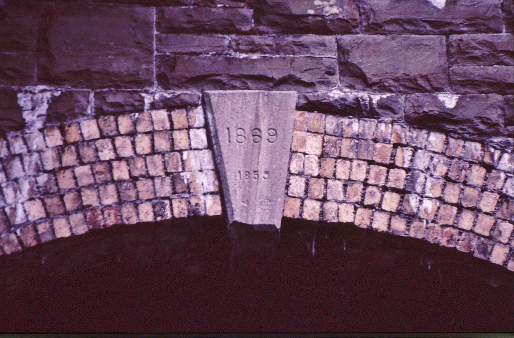
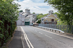
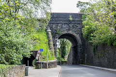
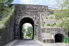
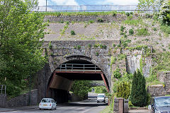
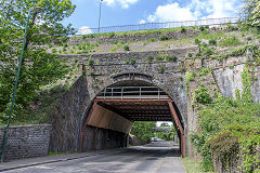
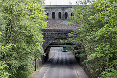
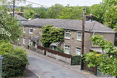
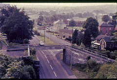
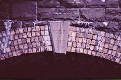
Pont-y-Gof - SO 1693 0989
The bridge at Pont-y-Gof was built in 1813 and spanned 'The Crescent', The GWR railway and the River Ebbw. It carried the tramroad that connected both sides of the valley. Pont-y-Gof Station was immediately to the North of the bridge.
Pont-y-Gof bridge, Ebbw Vale
|
Pont-y-Gof bridge, Ebbw Vale
|
Pont-y-Gof bridge, Ebbw Vale
|
Pont-y-Gof bridge, Ebbw Vale
|
Pont-y-Gof bridge, Ebbw Vale
|
Pont-y-Gof bridge, Ebbw Vale
|
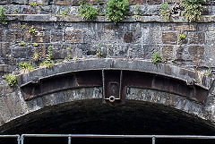
Pont-y-Gof '1813' keystone
|
Pont-y-Gof bridge, Ebbw Vale
|
Pont-y-Gof bridge, Ebbw Vale
|
Pont-y-Gof Station, Ebbw Vale
|
Pont-y-Gof Station House
|
Pont-y-Gof Station Cottages
|
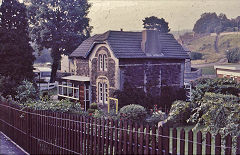
Pont-y-Gof Station House
|
Pont-y-Gof Station
|
Pont-y-Gof Station
|
Railway Terrace, Pont-y-Gof
|
Railway Terrace, Pont-y-Gof
|
Pont-y-Gof bridge, Ebbw Vale
|
Pont-y-Gof bridge, Ebbw Vale
|
Pont-y-Gof bridge, Ebbw Vale
|
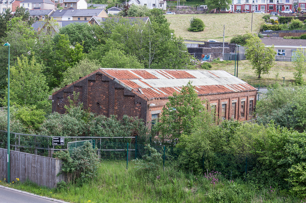
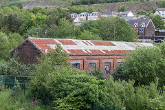
Ty Llwyn - SO 1735 0855
I believe this is a pumping house for the steelworks. it's now used by Gwent Wildlife Trust and ther are still rails in the path through the site.
Ty Llwyn pumping house
|

Ty Llwyn pumping house
|
Ty Llwyn pumping house
|
Ty Llwyn pumping house railway
|
Ty Llwyn pumping house railway
|
Ty Llwyn pumping house railway
|
Ty Llwyn pumping house railway
|
Ty Llwyn pumping house railway
|

Ty Llwyn settling tank
|
|
|
|
Around Ebbw Vale town
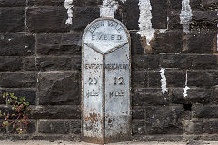
Church Crescent milestone
|
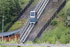
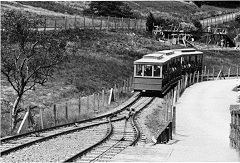
Ebbw Vale funicular
|
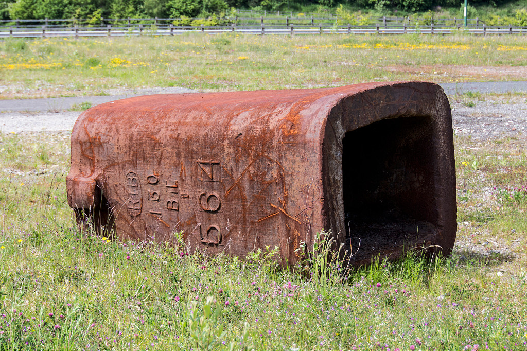
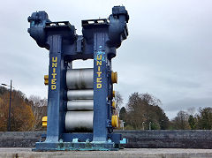
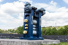
'RTB' ingot mould
|
Steelworks railway bridge
|
Old furnaces, Ebbw Vale
|
Old furnaces, Ebbw Vale
|
Old furnaces, Ebbw Vale
|
Old furnaces, Ebbw Vale
|

Old furnaces, Ebbw Vale
|
Old furnaces, Ebbw Vale
|
Old furnaces, Ebbw Vale
|
Old furnaces engine house
|
Steelworks retaining wall
|
Steelworks retaining wall
|
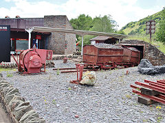
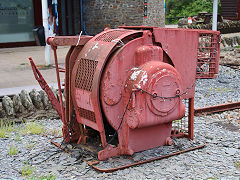
Steelworks rolling machine
|
Steelworks rolling machine
|
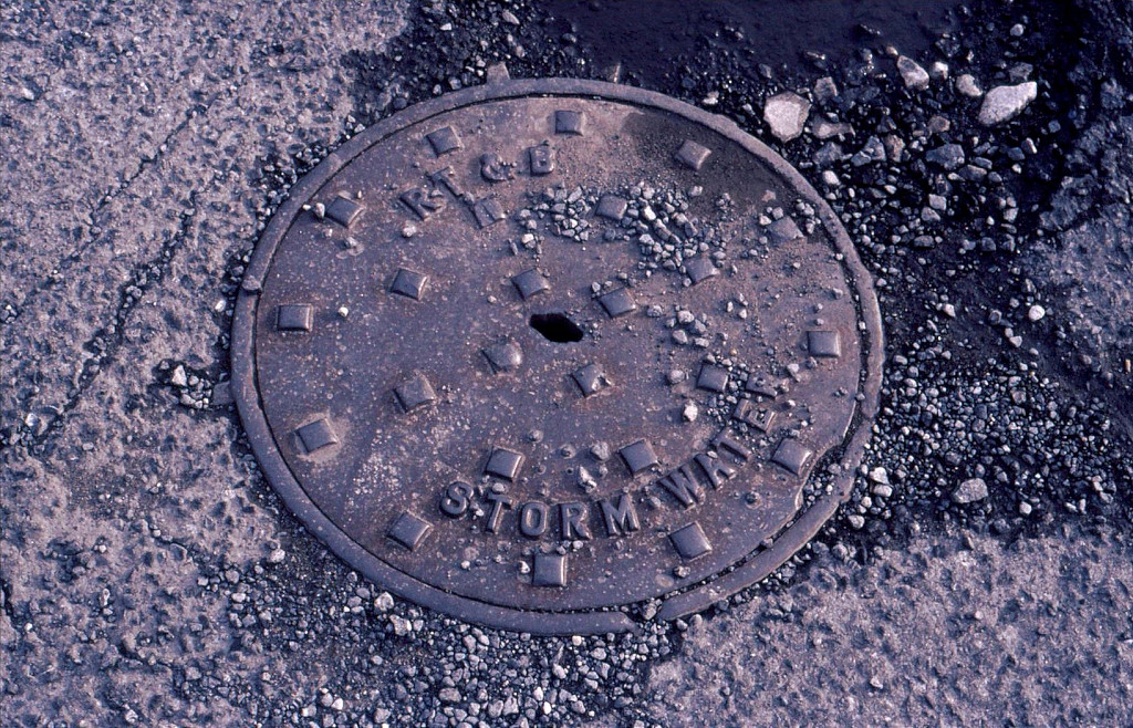
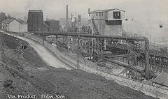
'R T & B Stormwater', Ebbw Vale
|

Ebbw Vale Company offices
|
|
|
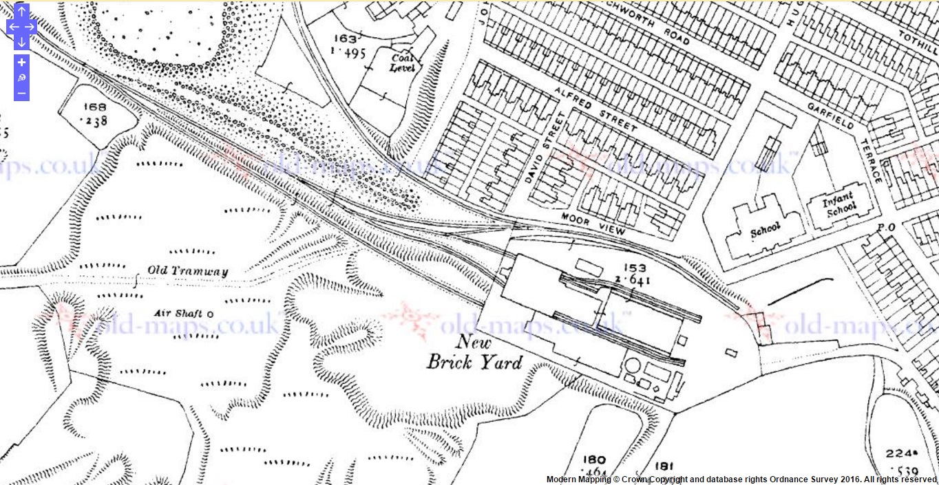
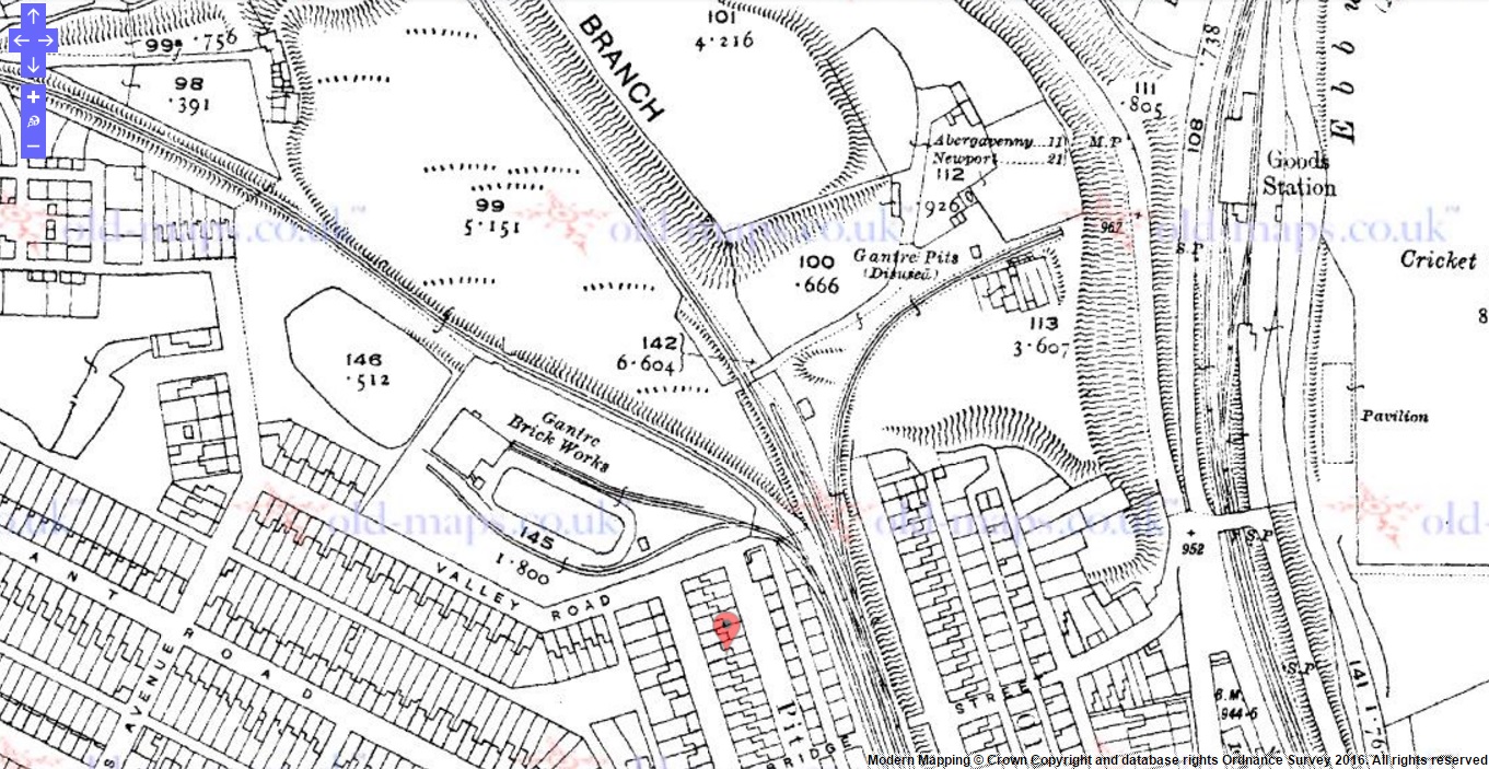
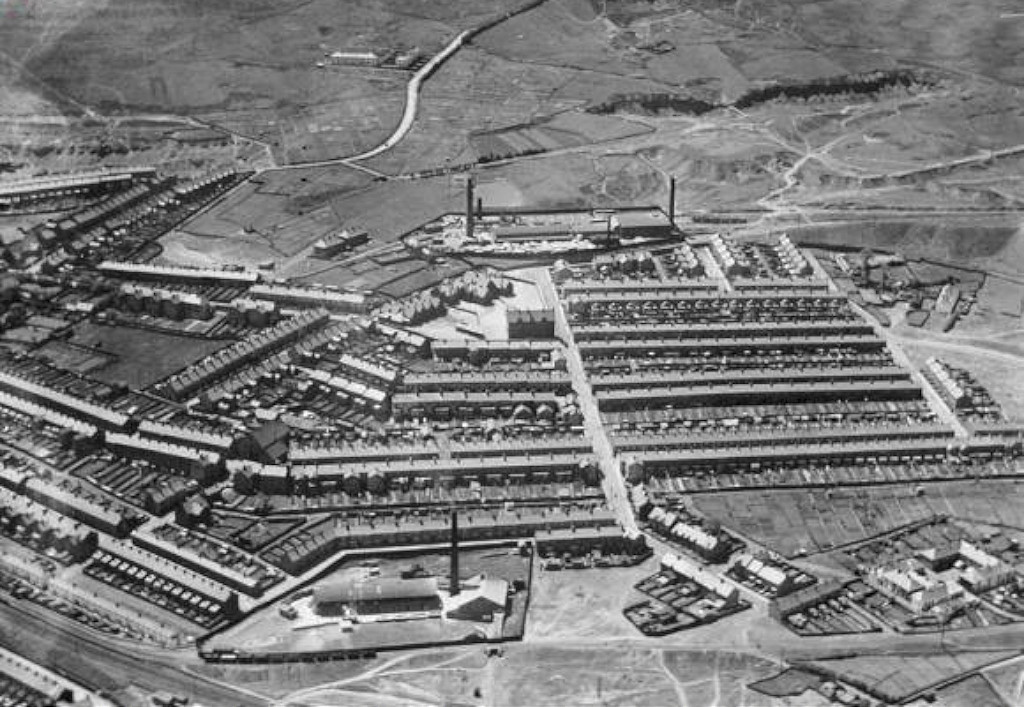
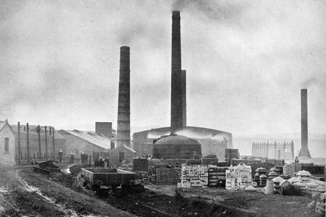
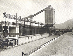
Ebbw Vale Gantre Brickworks - SO 1655 1020
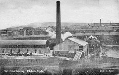
Ebbw Vale Willowtown Brickworks - SO 1625 0990
The earliest brick kilns were at Newtown, SO 1715 0980, known as the old brickyard and had closed by 1920. The New Brickyard at Willowtown, SO 1625 0990, was in existence in 1880 but had been greatly expanded by 1901. In 1907 EVSIC built a third brickworks near the Gantre (sometimes also known as Willowtown) and total production reached 14 million bricks a year. Both Gantre and Willowtown appear to have closed in the late 1960s.
Ebbw Vale Old brickworks, 1901
|
Willowtown brickworks, 1915
|
Gantre brickworks, 1915
|
Ebbw Vale brickworks, c1930
|
Ebbw Vale Old Kilns pre-1901
|
Willowtown brickworks, c1906
|
Ebbw Vale Gantre brickworks
|
Ebbw Vale Gantre brickworks
|
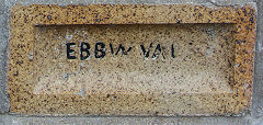
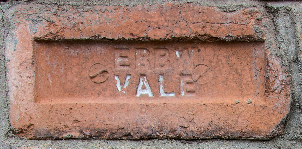
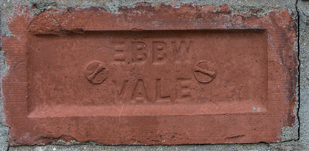
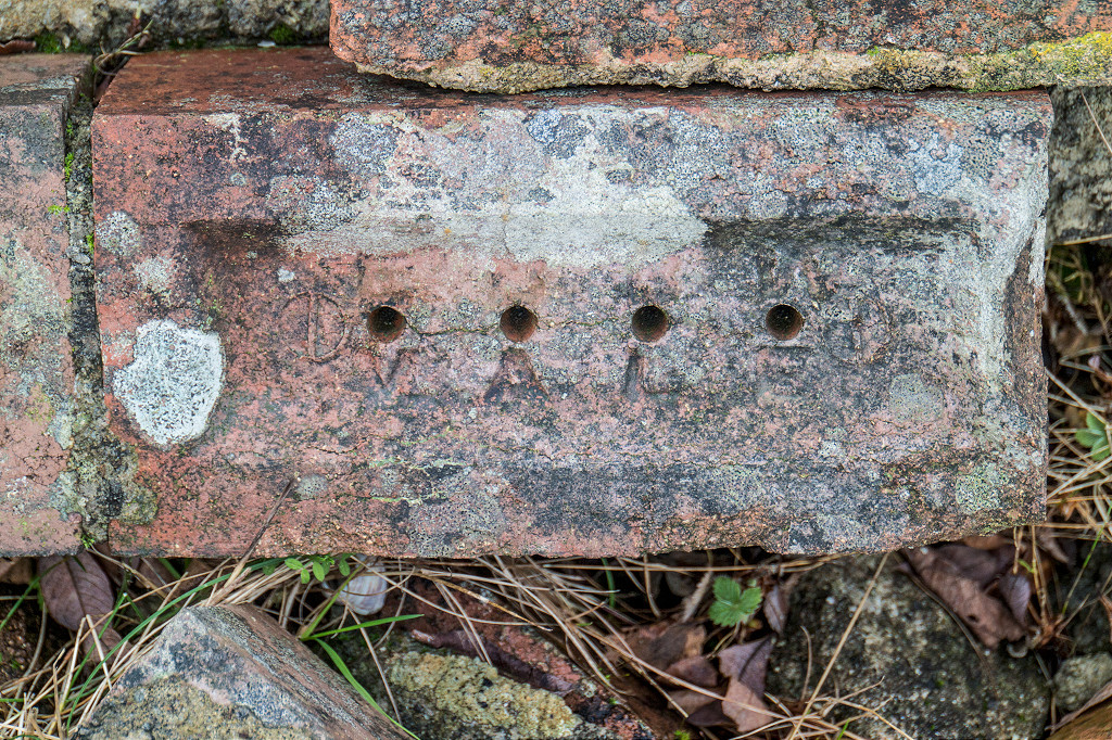
'Ebbw Vale', type 1
|
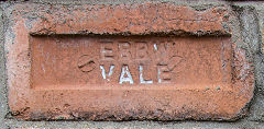
'Ebbw Vale', type 2
|
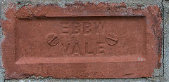
'Ebbw Vale', type 3
|
'Ebbw Vale', type 4
|
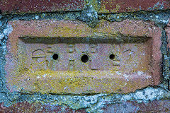
'Ebbw Vale', type 5
|
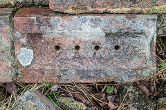
'Ebbw Vale', type 6
|
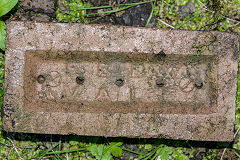
'Ebbw Vale', type 7
|
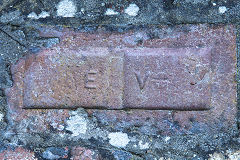
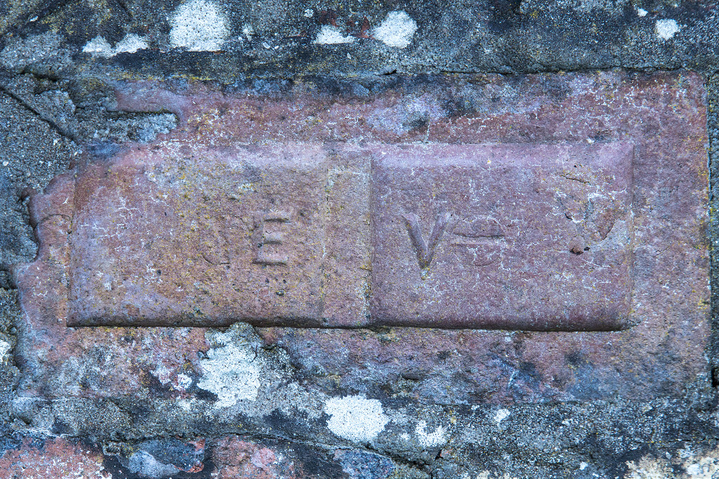
'EV', Ebbw Vale Brickworks
|
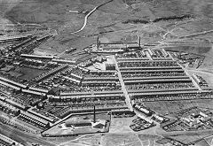
Historic Victoria
Geoff Palfrey now lives in Toronto but remembers this area well. These are his photos and reminiscences.
The Becker Coke Ovens
|
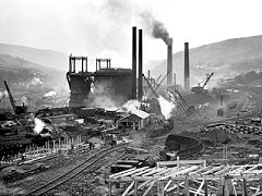
The new blast furnaces
|
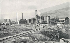
The old blast furnaces
|
Coppee coke ovens
|
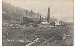
A general view of the ironworks
|
No 5 Pit (Prince of Wales), c1936
|
Waun Lwyd Colliery c1950s
|

Ty Llwyn and Bwlch-y-garn
|
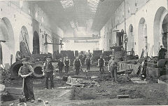
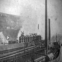
The foundry floor, Victoria, c1900
|
The Bessemer plant, c1905
|
|
'Victoria Foundry Ebbw Vale'
|
"I emigrated here 8 years ago after working in the steel industry of Saudi Arabia. I did my apprenticeship with British Steel in Ebbw and worked in Alpha
(or Mir Steel now) and Tremorfa works (Celsa) in Cardiff. Growing up in Ebbw Vale as it was in the sixties made me develop a great interest in industrial archaeology of the area, for example one of our dens was a "castle" to us kids, in reality it was a wooden sleeper floored flooded airshaft of the extensive Drillground pit complex!
I have collected many original maps of Ebbw Vale and Mining maps of the British /Abertillery areas C 1919, the oldest map I own of the Ebbw Vale furnaces is dated 1830. I can help with some of the artefacts shown on the photos, for example the mountainside level and winding house was roofless but much more complete in my youth, the walls were pulled down for the garden festival of the early nineties because they were in poor state. The flywheel has a casting mark and initials in its periphery, it looks like a crucible is chiselled into it, it was probably cast in Victoria foundry, surf "the works" archives and you will see the areas of the old iron and steelmaking plants pre 1936. If you go down the bank East of the boiler you will find the ashes from its long dampened fires. there is another adit north of the boiler too but it is walled up. The coal seam itself can be seen at the top of the north quarry and the ganister clays. I used to ride my dirt bike along the sheep path above it and get up to a big stone just below the summit of the Domen Fawr, risky but great fun.
The level mined coal and possibly ganister or fireclay as it was known, the haulage engine drew the journey of drams up the incline which is on the 1 in 12 dip of the seam, from the curved air inlet level south of the chimney, the furnace itself was on the return airway and is blocked too, the coal was dropped down the incline to a bank of Coke ovens used to make coke for Victoria ironworks. Millstone grit was quarried for buildings and shafts in the EV steel and coal co empire, the general manager in 1900 was Edward Mills and he revitalised the works keeping open outdated collieries to feed the coke ovens and electrifting and sinking new and older collieries down the dip of the site. He lived in a mansion below the level. The last level of the series is in the lower farm part of the tramroad, the farmer told me that on the vesting day of the NCB in 1947 the owner could not afford the licence and closed it with all the equipment still underground, finally the winding rope of the haulage engine exists as part of the fence at the roadway that bisects the tramway proper, it is unravelled and nailed to the posts, or it was 20 years ago!
My primary school teacher told me it closed in about 1926 when the EVSIC wound up after cessation of WW1 caused Welsh coal and iron demand to drop! My Grandad and Great uncle and thousands of other Welsh colliers fought through the Western front battles not knowing that they would be putting themselves out of work a decade later when France claimed German coal as reparations.
My Great Grandfather was apprenticed in the ironworks and lived as a youth in Bwlch y Garn Ty Hir or long house, he subsequently became successful and owned the King David pub in Brynmawr, he also built an electrically powered machine shop and foundry and garage to the side of it about 1910. This brings me to the Red Ash level on the Mynydd Carn y Cefn side of the valley. The end of the tramway in your photograph was the yard of a large Balance pit belonging to Nantyglo and Beaufort ironworks, the tip was regraded in the early seventies, I have maps showing the tramroad going from the level and pit, around the scoured outcrop where West Mon golf club is and onto the machine pond area of Brynmawr where Twyncynhordy pit was ( its shaft is in the corner of a field at Twyncynhordy farm and was open 20 years ago too) the drams then entered Nantyglo ironworks through the north entrance which still exists, it's opposite the new Asda and underneath the roadbed of the Abergavenny to Merthyr railway line which is a road now. Both enterprises closed when Crawshay Bailey died in 1875 along with many other iron works that could not afford to adapt to the Bessemer/ Thomas process to make steel instead of puddled wrought iron. The Nantyglo works was taken over for a few years but failed so I think that by 1885 or so the mines would have been derelict.
I have spent the evening surfing the oldmaps UK website, if you look at the area on the current map and lock onto the Bush Inn which was below the incline, (its a house now), you will get access to the levels proper, interestingly the 1, 10000 map of 1880 shows two engine houses serving an incline apiece and another quarry is metalled above the main dip, I had forgotten about this but there is a trampath in poor state above and south of the engine house, I remember walking into it years ago, on the same site open up the 1900 1.3500 and 1.10000 map, by this time the top quarry has a working face and just one engine house, imagine how the locomotive boiler was brought up there! Even in the scrap drives of WW2 the parts were not salvaged. The north level that I spoke about is shown as disused at this date. Have a look at the extensive park and ponds shown below on the 1880 maps, the owners and managers lived like kings.
Finally the flywheel on the mountain is very old and was poorly maintained at the end of its life, based on the square forged wrought iron shaft and the number of poorly set keys on the wheel and gear, I guess the existing equipment up there from about 1850 or so was utilised to the end, its amazing how it has survived probably over a hundred and fifty years or so of bleak wet weather, the castings are still good, the wrought shaft is not so good but it can hold out another century with ease I bet..."
Acknowledgments, sources and further reading
Thanks particularly to Geoff Palfrey for sharing his photographs, knowledge and research of the area
and also to :- John van Laun, Jamie Larke and the Gwent Caving Club
A Guide to the Website
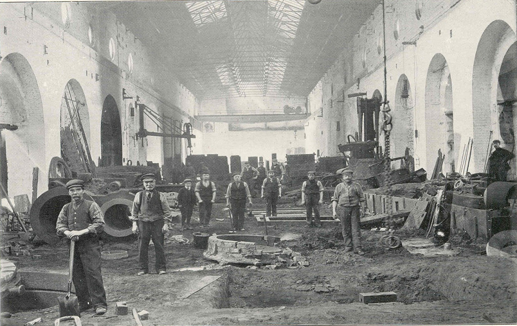
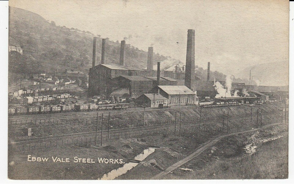
Industrial Wales
Collieries, Ironworks, Quarries, Railways, Canals, Tramroads, Tunnels, Culverts and so much more....
|
Brickworks of Wales
Bricks are 'History with a label' so here's the story of the Brickworks of Wales - photos, maps and the products themselves
|
Around the World
My travels around the UK and the Whole Wide World in search of industries, railways, trams and mines to name a few.
|
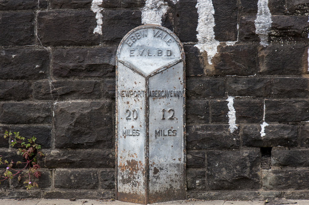
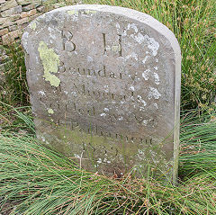
Boundary Stones and Mileposts
Boundary Stones, Mileposts and other markers in simple alphabetical order of their initials, name or site.
|
Ships and Shipping
Ships around the World in simple alphabetical order of their name (or apparent area if I can't read the name).

|
The Site Map and Index
A full list of all the pages of the whole website in just one place, so you should find exactly what you are looking for.
|
About the Site
The background and technical details about the site, plus a contact page and links to other sites - and a warning !!
|
Contact Me
Something to add? A great photo? Something wrong? or need to know more about things? Just drop me a line here.

|
Further Reading
You can find lots of local and other very helpful websites, books, magazines and Facebook groups all listed here.
|
All rights reserved - Phil Jenkins